

Bird
Rock Pigeon
Columba livia
Lives in West Virginia all year and nests here. Found in all 55 counties, across 2 habitats.
- Here
- All year
- Nesting
- Nests here
- Range
- All 55 counties
- Habitats
- 2

At a glance
- Group
- Birds
- Here
- All year
- Nesting
- Nests here
- Range
- All 55 counties
- Habitats
- 2
- Habitat models
- Year-round
Where it lives
The places its habitat model includes. It is not found everywhere a habitat occurs.
Habitats in West Virginia 2
Each habitat page lists the plants and wildlife also found there.
Roadsides, fields and disturbed ground
Ground opened by people: roadsides, old fields, pastures, fencerows and lots.
Granite and other acidic rock outcrops
Bare or thin-soil rock on granite, gneiss, sandstone, quartzite and similar acidic rock, including granite flatrocks and domes.
Other habitats in its models (13)
Land cover, or classes with no habitat page in West Virginia.
- Developed, Low Intensity Year-round.
- Developed, Medium Intensity Year-round.
- Developed, High Intensity Year-round.
- Quarries, Mines, Gravel Pits and Oil Wells Year-round, beside its main habitat.
- Unconsolidated Shore (Lake/River/Pond) Year-round, beside its main habitat.
- Unconsolidated Shore (Beach/Dune) Year-round, beside its main habitat.
- Unconsolidated Shore Year-round, beside its main habitat.
- Central Interior Calcareous Cliff and Talus Year-round, beside its main habitat.
- Central Interior Acidic Cliff and Talus Year-round, beside its main habitat.
- North-Central Appalachian Circumneutral Cliff and Talus Year-round, beside its main habitat.
- Southern Piedmont Cliff Year-round, beside its main habitat.
- Southern Appalachian Montane Cliff Year-round, beside its main habitat.
- Southern Interior Calcareous Cliff Year-round, beside its main habitat.
Seasons in West Virginia
- Year-round: nests here, in all 55 counties.
Also found in this habitat
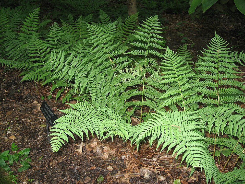
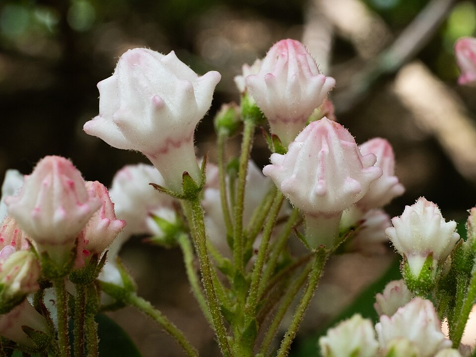
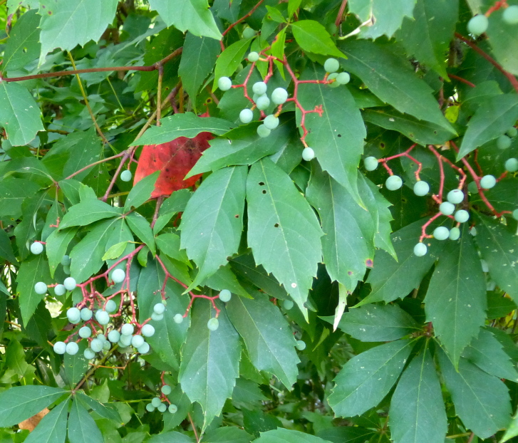
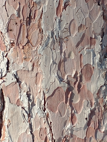
Plants 144
Plants named in NatureServe descriptions of these habitats that grow in West Virginia. Shared habitat, not food.
- Bradley's SpleenwortAsplenium bradleyi
- Allegheny-vineAdlumia fungosa
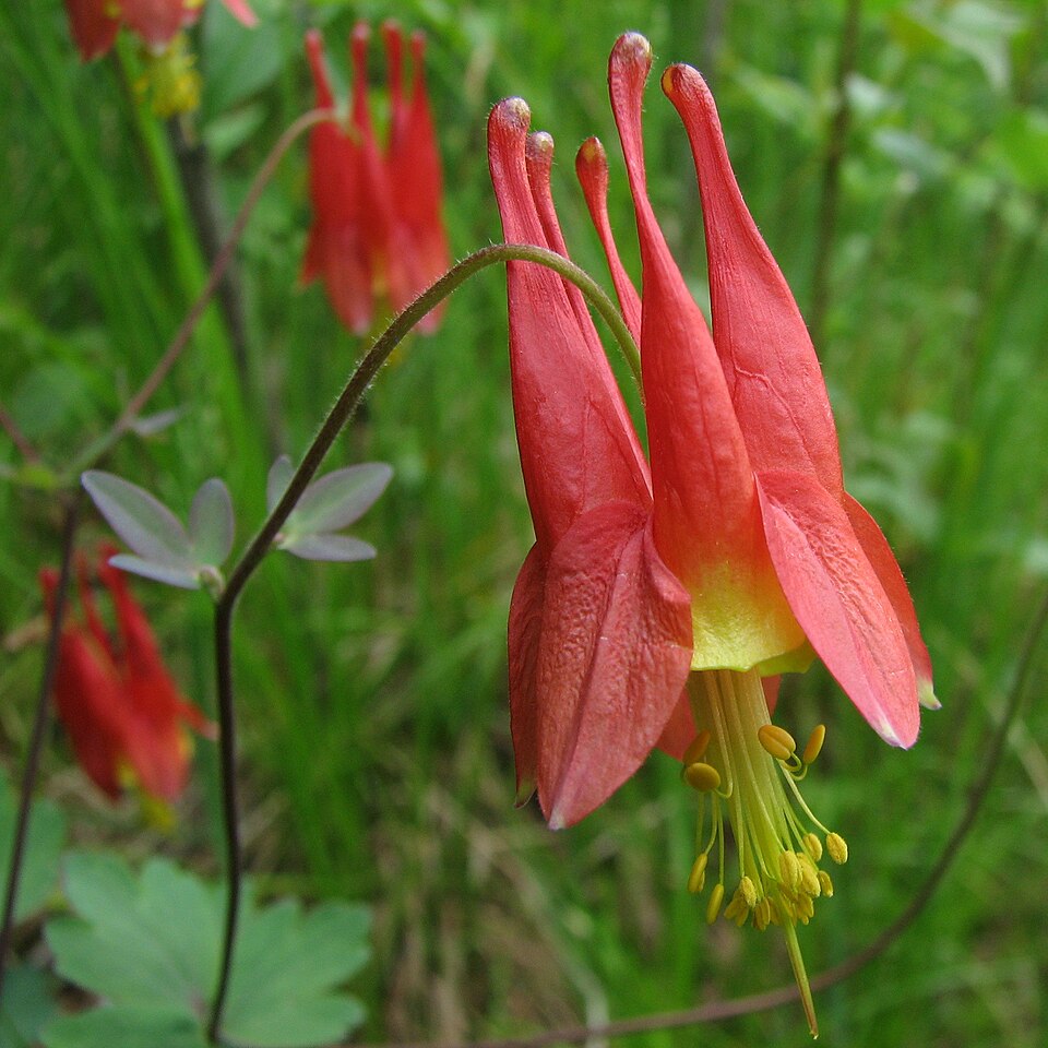
- Eastern ColumbineAquilegia canadensis
- Bristly SarsaparillaAralia hispida
- Mountain SpleenwortAsplenium montanum
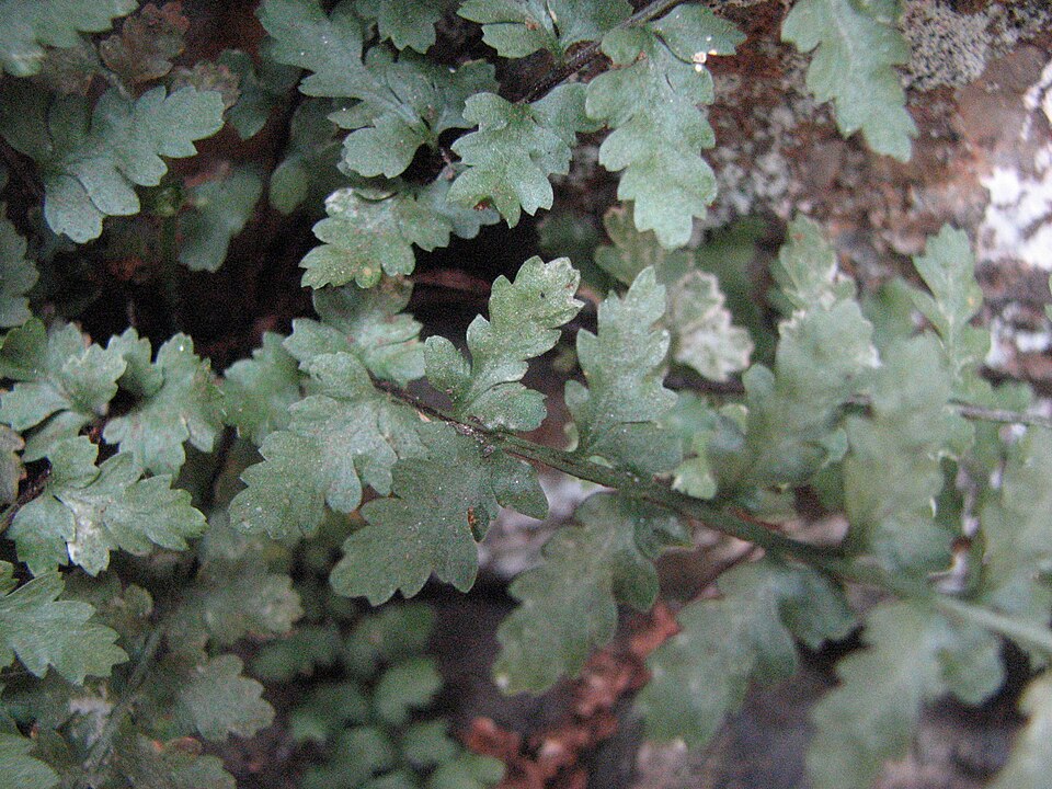
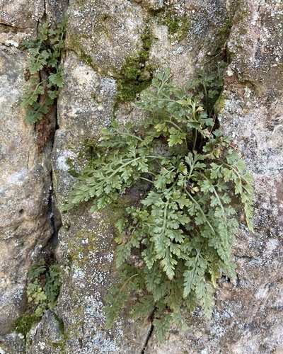
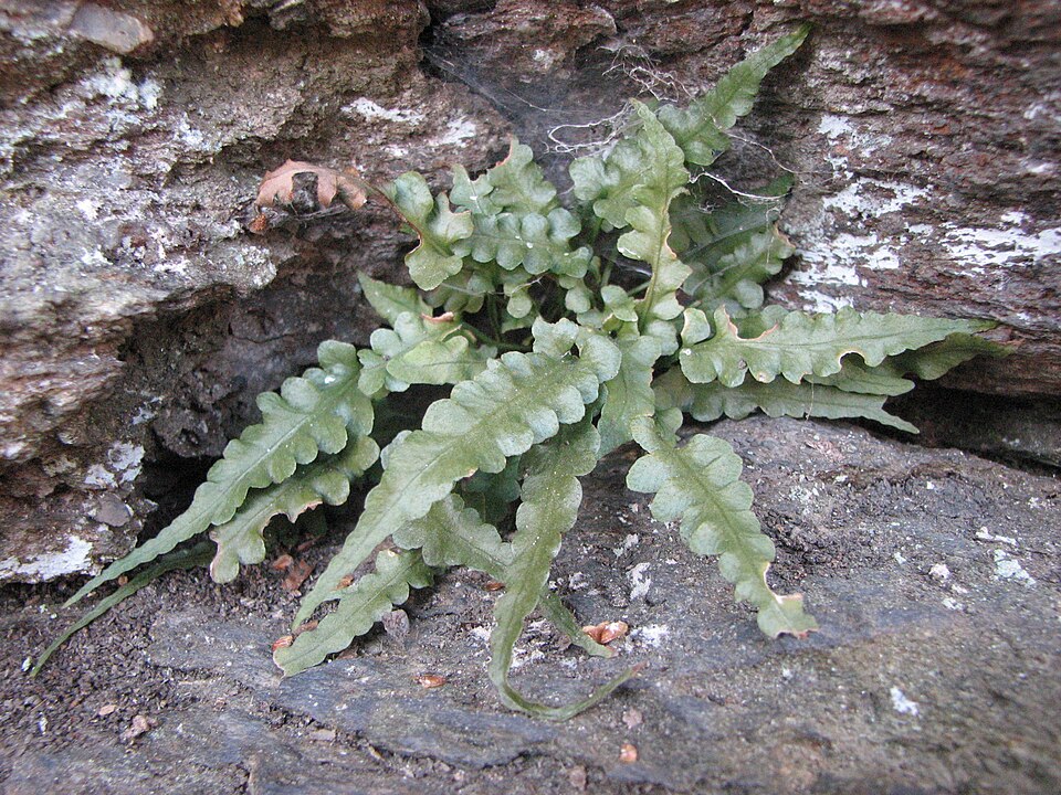
- Lobed SpleenwortAsplenium pinnatifidum
- Wavy HairgrassAvenella flexuosa
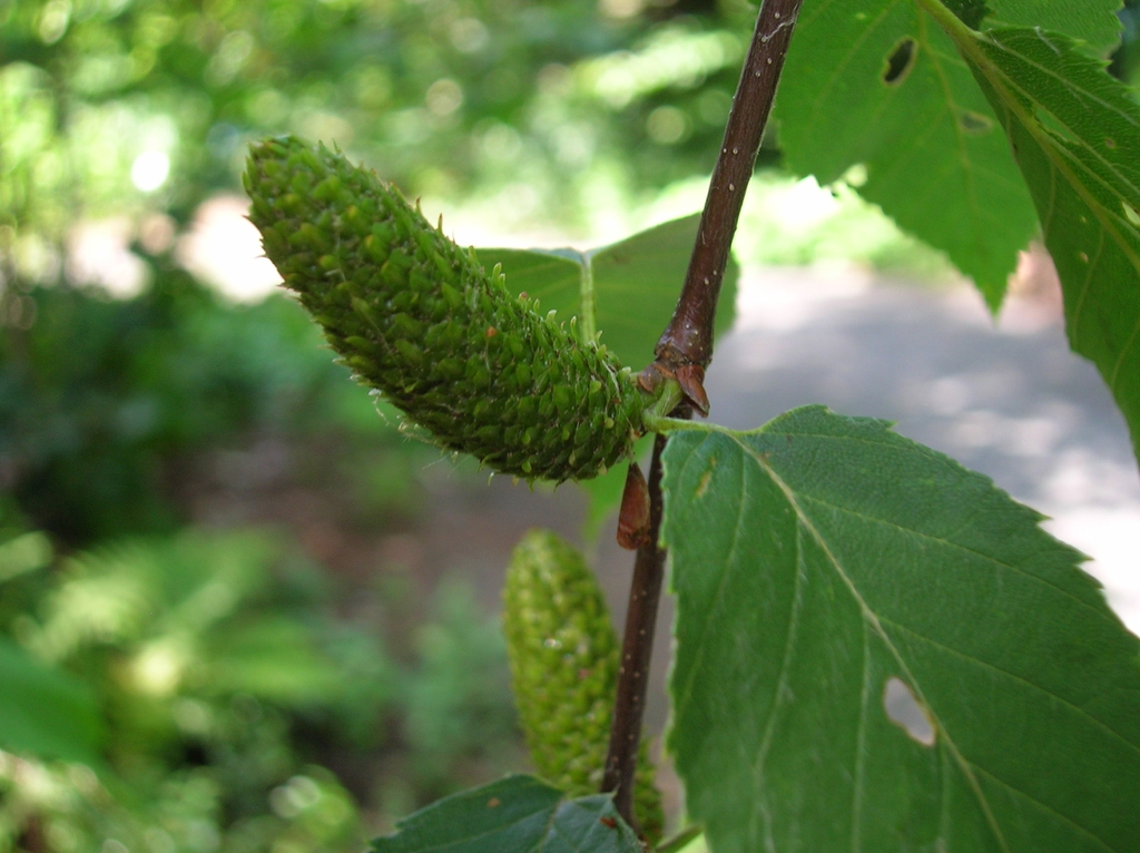
- Sweet BirchBetula lenta
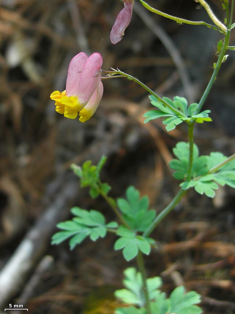
- Rock HarlequinCapnoides sempervirens
- Poverty OatgrassDanthonia spicata
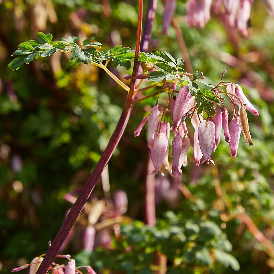
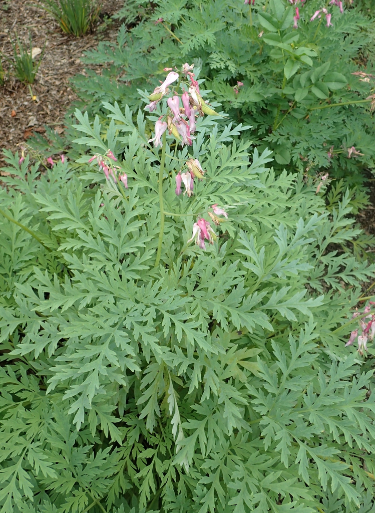
- Wild Bleeding-heartDicentra eximia
- Marginal Wood-fernDryopteris marginalis
- Black HuckleberryGaylussacia baccata
- Appalachian Oak-fernGymnocarpium appalachianum
- White AlumrootHeuchera alba
- Littleflower AlumrootHeuchera parviflora
- Rock FirmossHuperzia porophila
- Mountain LaurelKalmia latifolia
- Heller's Blazing-starLiatris helleri
- Rock MuhlyMuhlenbergia sobolifera
- Virginia CreeperParthenocissus quinquefolia
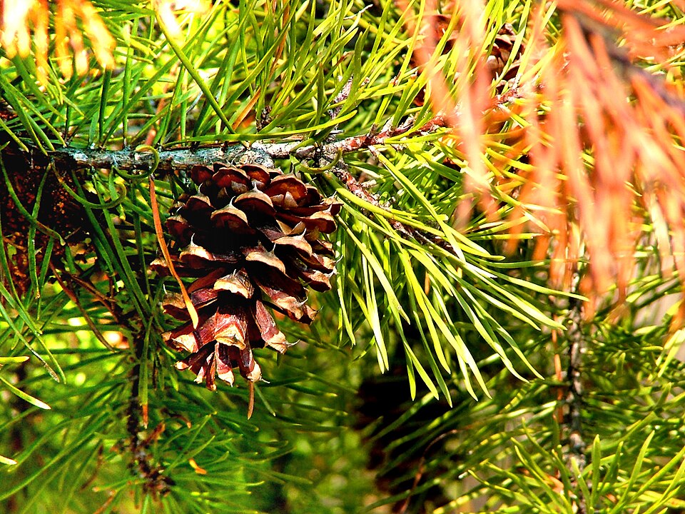
- Red PinePinus resinosa
- Virginia PinePinus virginiana
- Common Rockcap FernPolypodium virginianum

Wildlife 138
Other animals whose habitat models include the same habitats in West Virginia. Not sighting records.
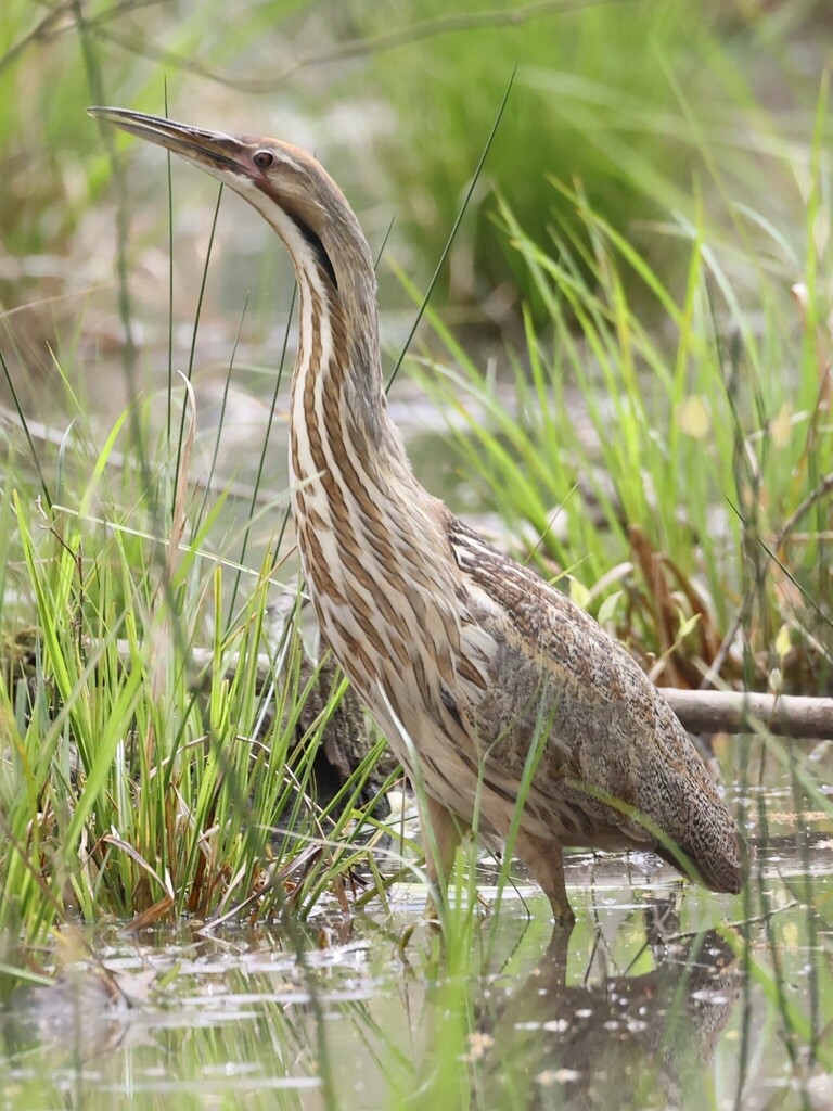
- American BitternBotaurus lentiginosus
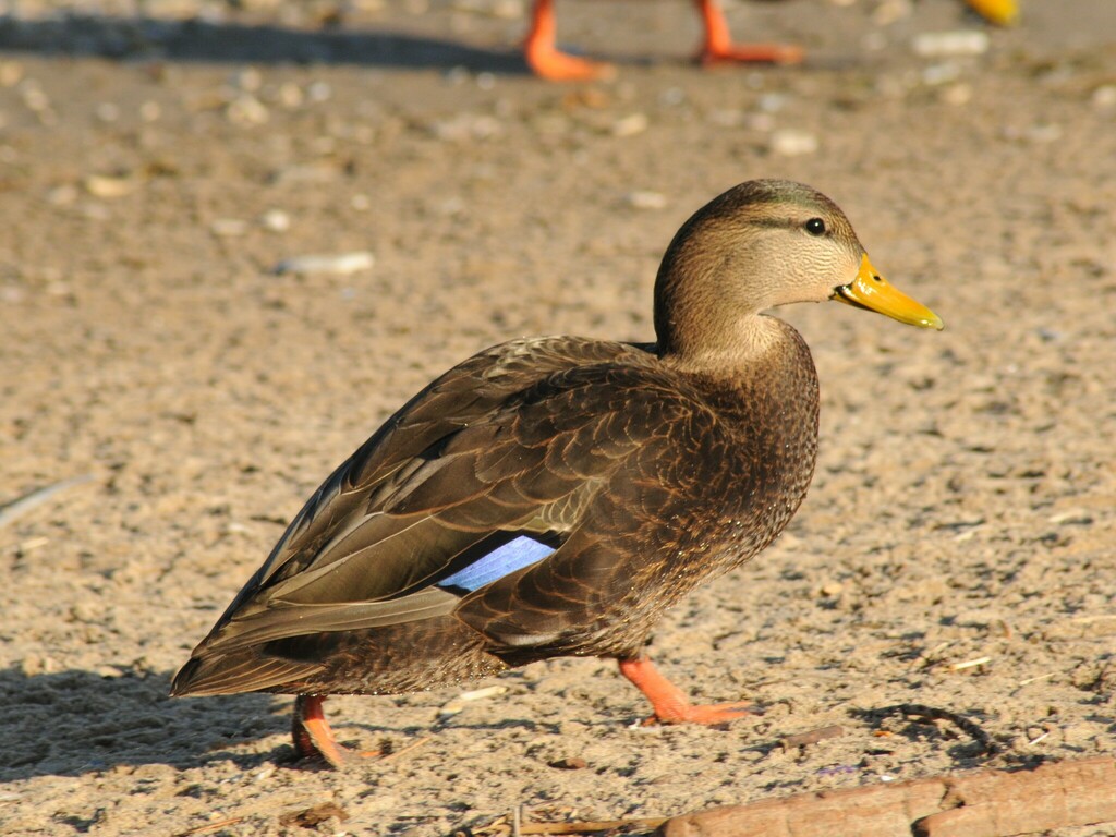
- American Black DuckAnas rubripes
- American GoldfinchCarduelis tristis
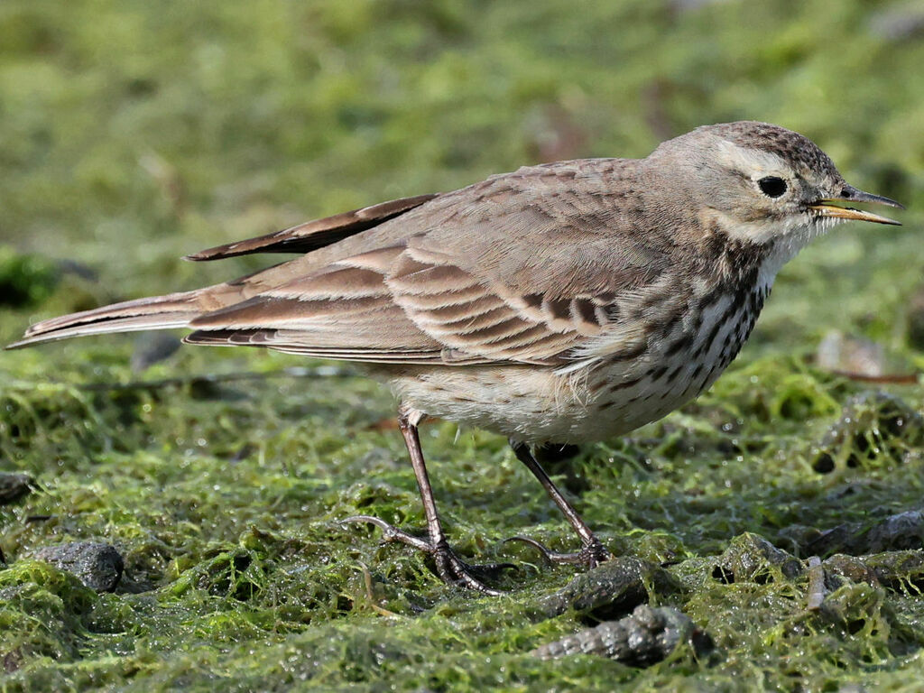
- American PipitAnthus rubescens
- American RobinTurdus migratorius
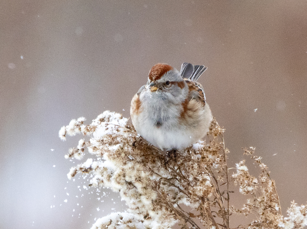
- American Tree SparrowSpizella arborea
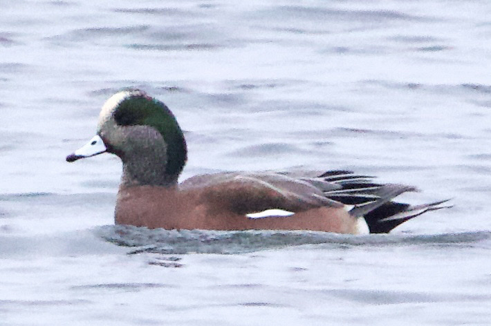
- American WigeonAnas americana
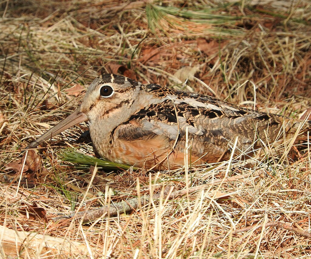
- American WoodcockScolopax minor
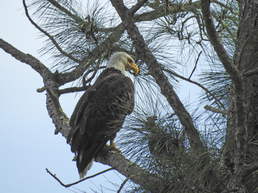
- Bald EagleHaliaeetus leucocephalus
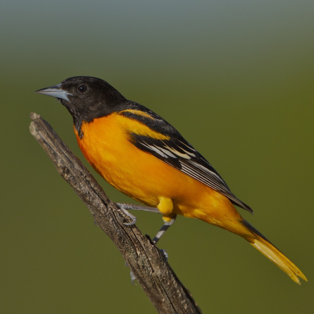
- Baltimore OrioleIcterus galbula
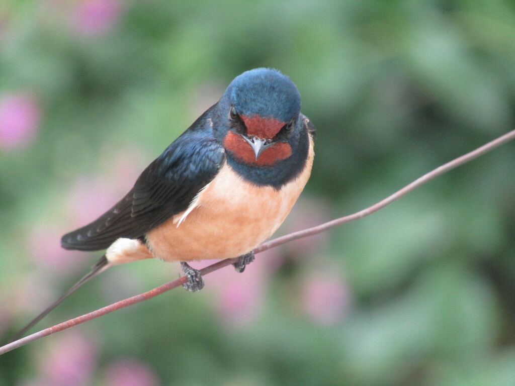
- Barn SwallowHirundo rustica
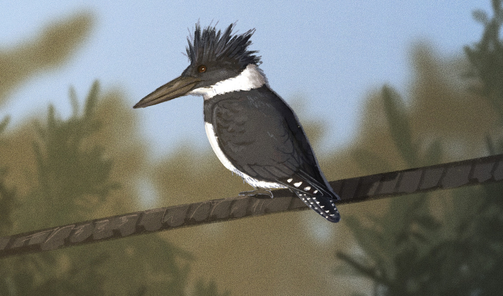
- Belted KingfisherMegaceryle alcyon
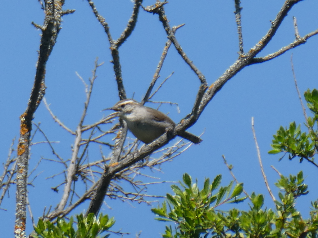
- Bewick's WrenThryomanes bewickii
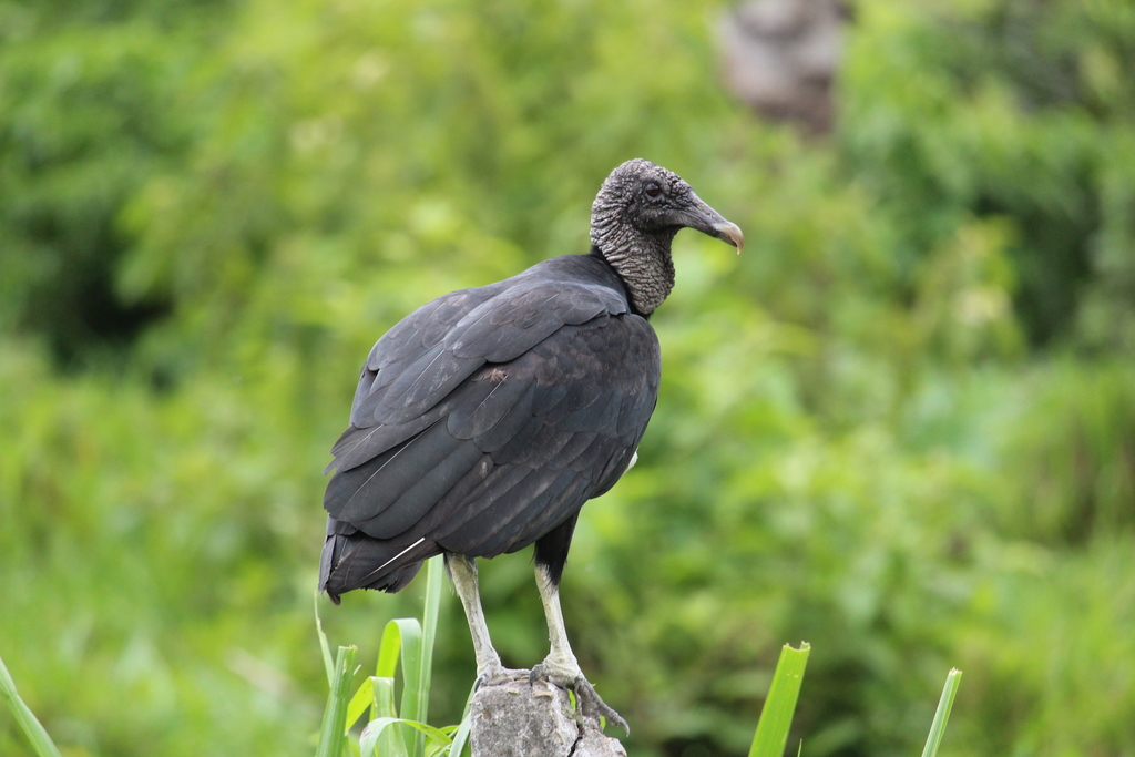
- Black VultureCoragyps atratus
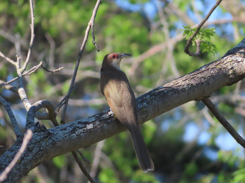
- Black-billed CuckooCoccyzus erythropthalmus
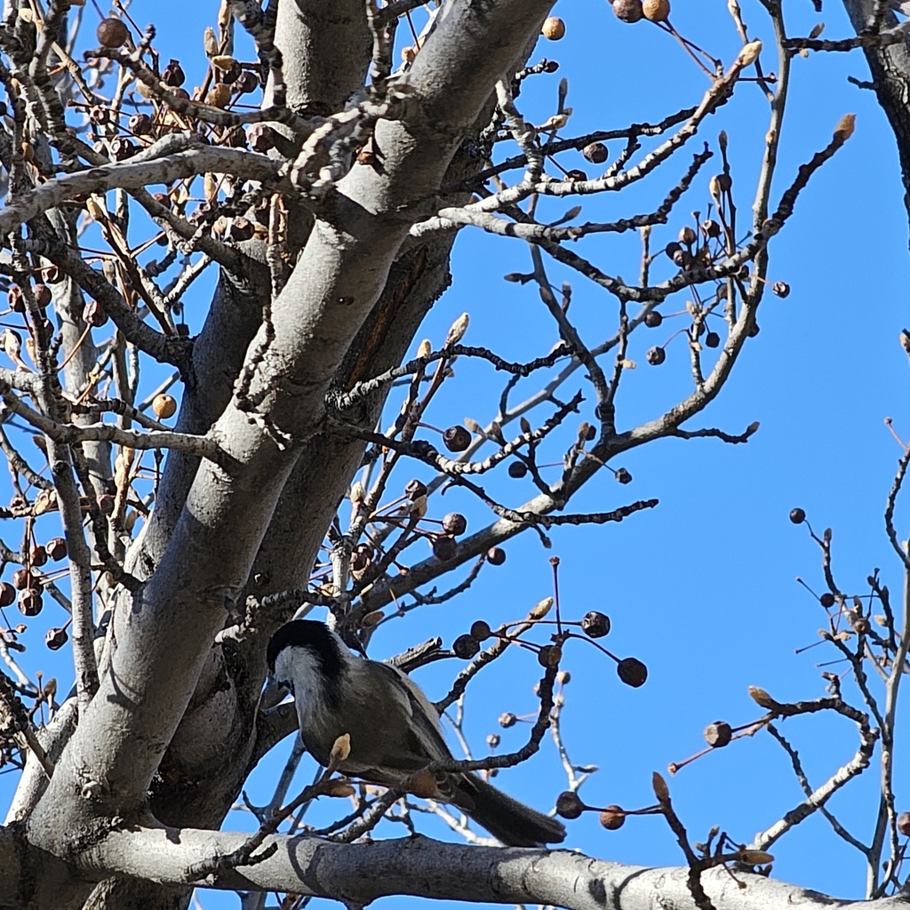
- Black-capped ChickadeePoecile atricapillus
- Black-crowned Night-heronNycticorax nycticorax
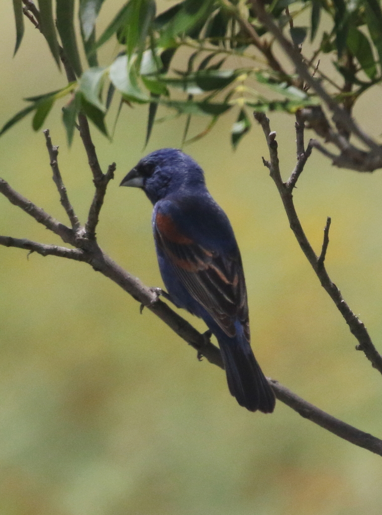
- Blue GrosbeakPasserina caerulea
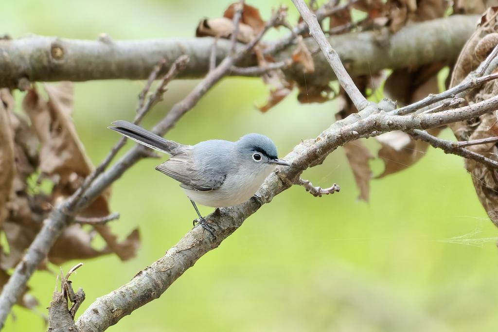
- Blue-gray GnatcatcherPolioptila caerulea
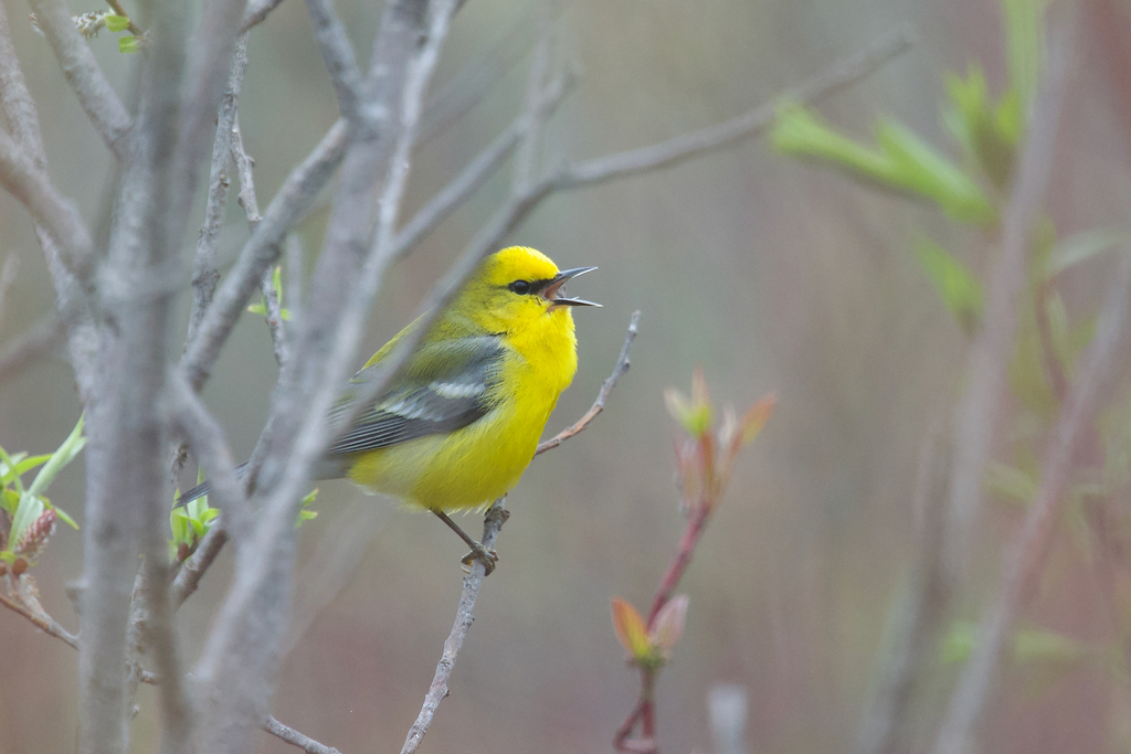
- Blue-winged WarblerVermivora pinus
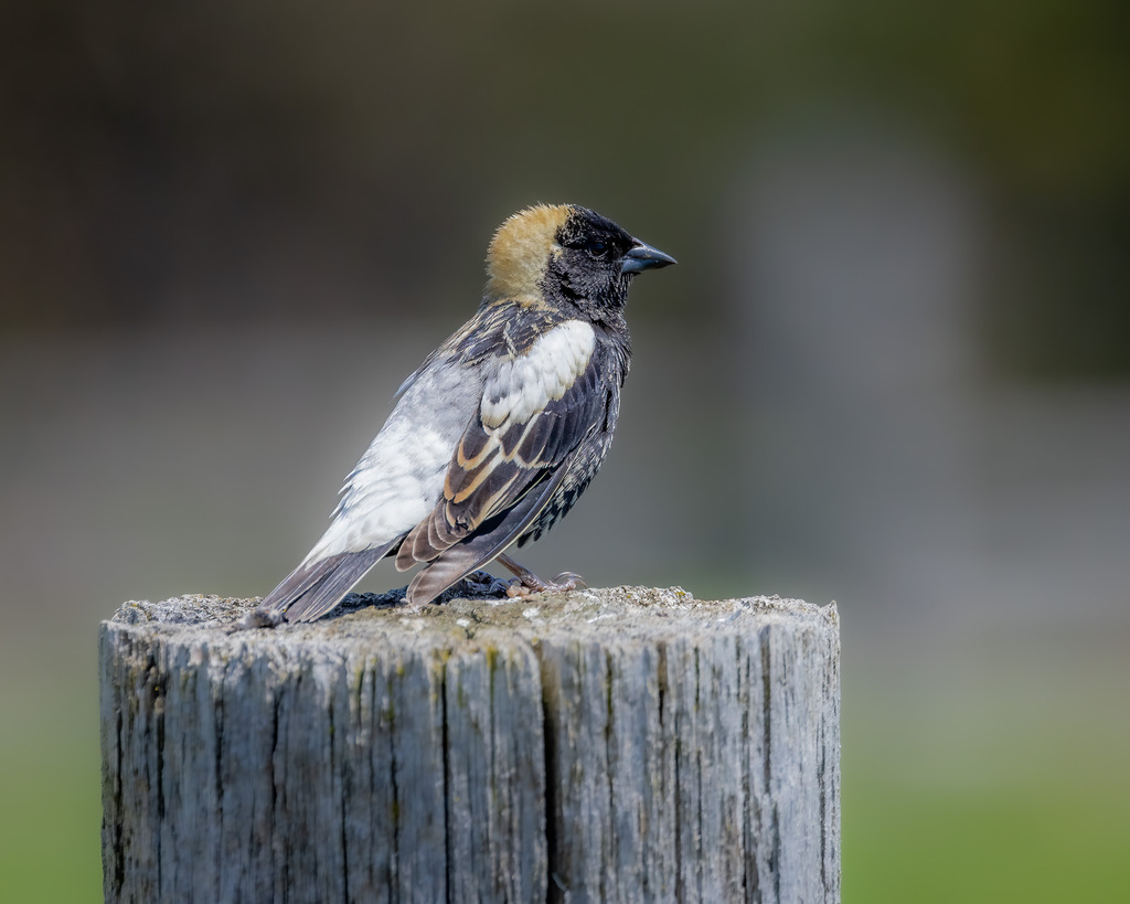
- BobolinkDolichonyx oryzivorus
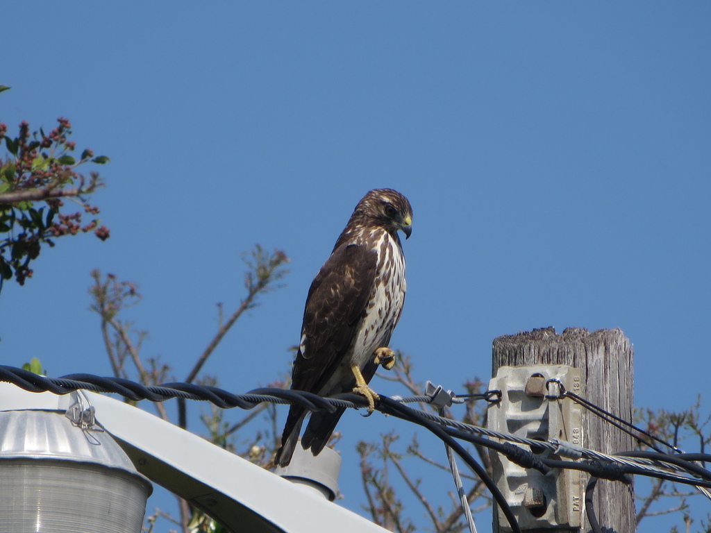
- Broad-winged HawkButeo platypterus
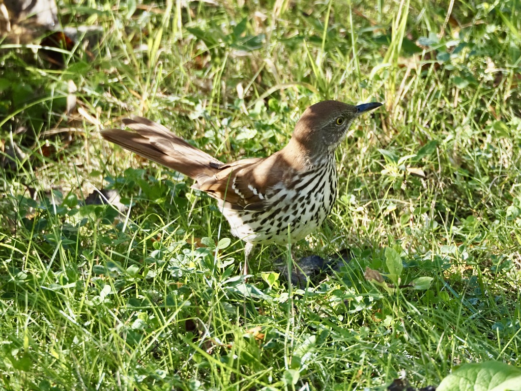
- Brown ThrasherToxostoma rufum
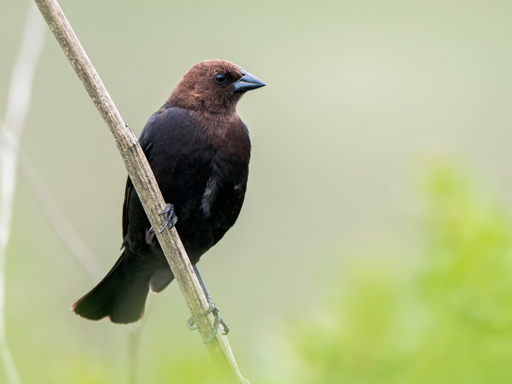
- Brown-headed CowbirdMolothrus ater



NatureServe Explorer, CC BY 4.0. USGS Gap Analysis Project habitat models.
Sources
- USGS Gap Analysis Project habitat models (2001)
- USGS GAP year-round habitat model for Rock Pigeon Includes developed land
- USGS Gap Analysis Project range maps (2001), modeled by watershed; migratory gives no dates
- NatureServe Explorer (CC BY 4.0), habitat names
- US Census TIGER/Line counties
- Names follow the USGS Gap Analysis Project (2001)