

Bird
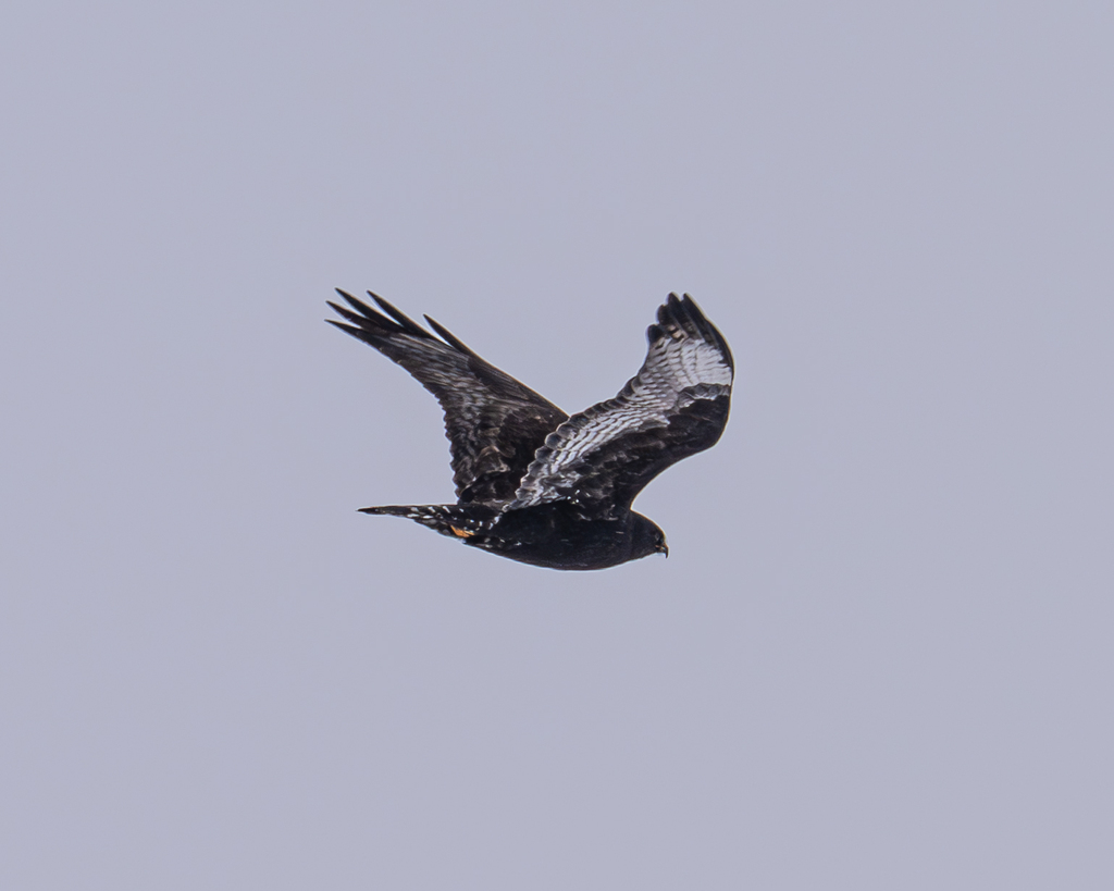
Rough-legged Hawk
Buteo lagopus
A winter visitor to West Virginia, found in all 55 counties and 6 habitats.
- Here
- Winter
- Nesting
- Not known to nest here
- Range
- All 55 counties
- Habitats
- 6
At a glance
- Group
- Birds
- Here
- Winter
- Nesting
- Not known to nest here
- Range
- All 55 counties
- Habitats
- 6
- Habitat models
- Winter
Where it lives
The places its habitat model includes. It is not found everywhere a habitat occurs.
Habitats in West Virginia 6
Each habitat page lists the plants and wildlife also found there.
Floodplain and bottomland forests
Forests on low ground beside rivers and streams that flood from time to time.
Granite and other acidic rock outcrops
Bare or thin-soil rock on granite, gneiss, sandstone, quartzite and similar acidic rock, including granite flatrocks and domes.
Treeless grassy or shrubby summits and ridges in the high mountains.
Roadsides, fields and disturbed ground
Ground opened by people: roadsides, old fields, pastures, fencerows and lots.
Steep, sun-baked slopes of loose shale with sparse oaks and Virginia pine and their own endemic wildflowers. Linked only where the source names shale barrens; calcareous shale stays with the limestone glades.
Streams, rivers and their banks
Flowing water and its banks, bars and rocky shoals.
Other habitats in its models (42)
Land cover, or classes with no habitat page in West Virginia.
- Barren Land Winter.
- Atlantic Coastal Plain Northern Sandy Beach Winter.
- Atlantic Coastal Plain Southern Beach Winter.
- Unconsolidated Shore (Lake/River/Pond) Winter.
- Unconsolidated Shore (Beach/Dune) Winter.
- Unconsolidated Shore Winter.
- Central Interior Calcareous Cliff and Talus Winter.
- Central Interior Acidic Cliff and Talus Winter.
- North-Central Appalachian Circumneutral Cliff and Talus Winter.
- Central Interior Highlands Dry Acidic Glade and Barrens Winter.
- Central Interior Highlands Calcareous Glade and Barrens Winter.
- Central Mixedgrass Prairie Winter.
- North-Central Interior Sand and Gravel Tallgrass Prairie Winter.
- Central Tallgrass Prairie Winter.
- Southern Blackland Tallgrass Prairie Winter.
- Southeastern Great Plains Tallgrass Prairie Winter.
- West Gulf Coastal Plain Northern Calcareous Prairie Winter.
- West Gulf Coastal Plain Southern Calcareous Prairie Winter.
- Atlantic Coastal Plain Southern Dune and Maritime Grassland Winter.
- Central and Upper Texas Coast Dune and Coastal Grassland Winter.
- Recently Logged Areas Winter.
- Harvested Forest - Grass/Forb Regeneration Winter.
- Recently Burned Winter.
- Recently Burned Forest Winter.
- Recently Burned Grassland Winter.
- Introduced Upland Vegetation - Forbland Winter.
- Introduced Upland Vegetation - Annual Grassland Winter.
- Introduced Upland Vegetation - Perennial Grassland Winter.
- Introduced Upland Vegetation - Perennial Grassland and Forbland Winter.
- Atlantic Coastal Plain Central Salt and Brackish Tidal Marsh Winter.
- Atlantic Coastal Plain Embayed Region Tidal Salt and Brackish Marsh Winter.
- Mississippi Sound Salt and Brackish Tidal Marsh Winter.
- Atlantic Coastal Plain Northern Tidal Salt Marsh Winter.
- Atlantic Coastal Plain Clay-Based Carolina Bay Herbaceous Wetland Winter.
- Gulf and Atlantic Coastal Plain Tidal Marsh Systems Winter.
- Atlantic Coastal Plain Embayed Region Tidal Freshwater Marsh Winter.
- Atlantic Coastal Plain Northern Fresh and Oligohaline Tidal Marsh Winter.
- Atlantic Coastal Plain Central Fresh-Oligohaline Tidal Marsh Winter.
- Atlantic and Gulf Coastal Plain Interdunal Wetland Winter.
- Eastern Great Plains Wet Meadow, Prairie, and Marsh Winter.
- South-Central Interior Large Floodplain - Herbaceous Modifier Winter.
- Eastern Great Plains Floodplain Systems Winter.
Seasons in West Virginia
- Winter: does not nest here, in all 55 counties.
Also found in this habitat
Plants 526
Plants named in NatureServe descriptions of these habitats that grow in West Virginia. Shared habitat, not food.
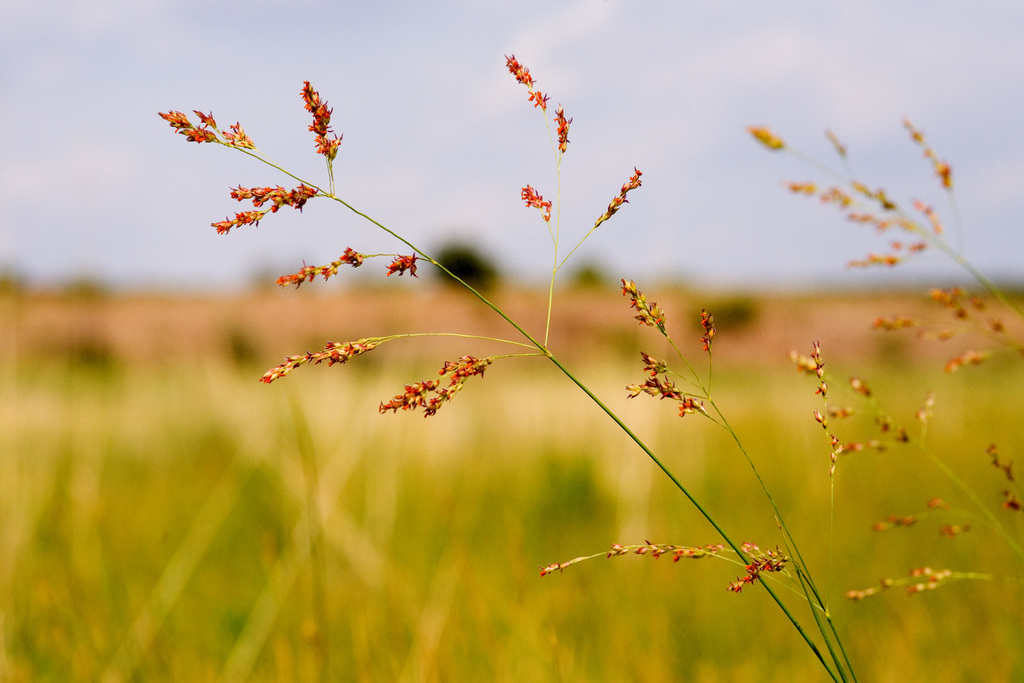
- SwitchgrassPanicum virgatum
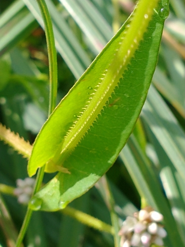
- Water SmartweedPersicaria amphibia
- Arrowleaf TearthumbPersicaria sagittata
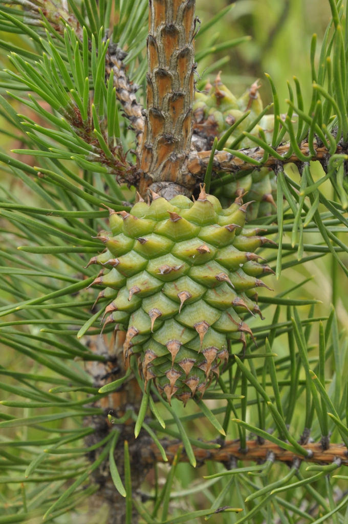
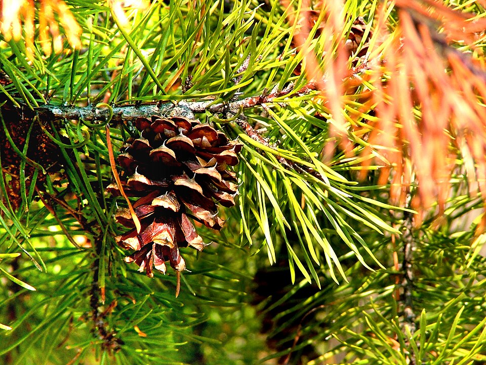
- Table Mountain PinePinus pungens
- Virginia PinePinus virginiana
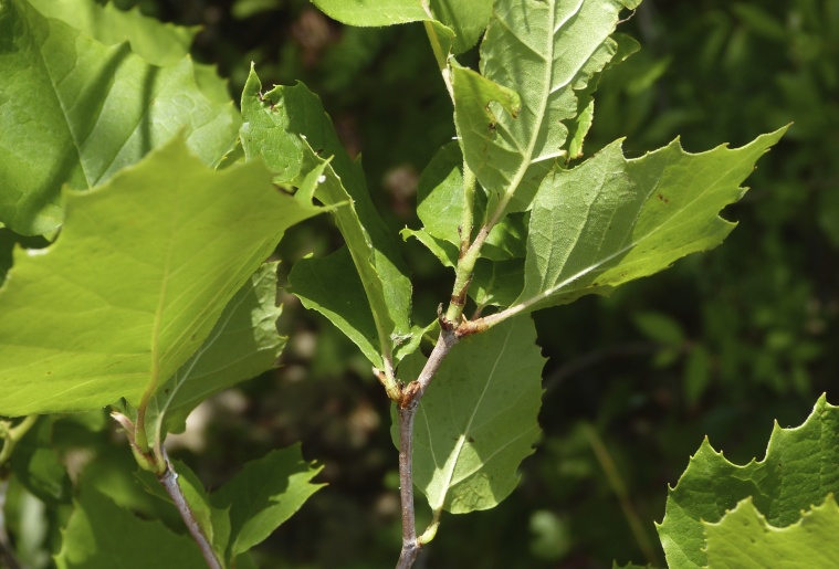
- American SycamorePlatanus occidentalis
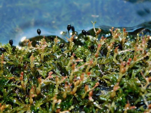
- Hornleaf RiverweedPodostemum ceratophyllum
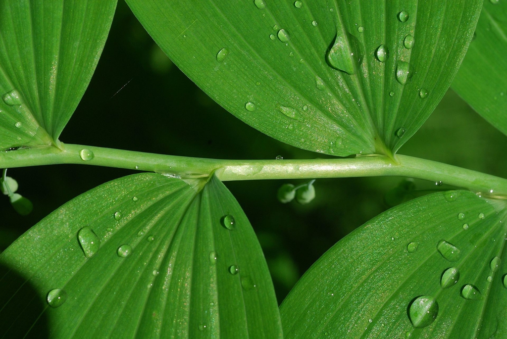
- Smooth Solomon's-sealPolygonatum biflorum
- Common Rockcap FernPolypodium virginianum
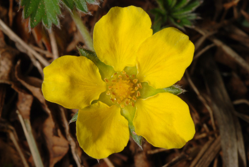
- Dwarf CinquefoilPotentilla canadensis
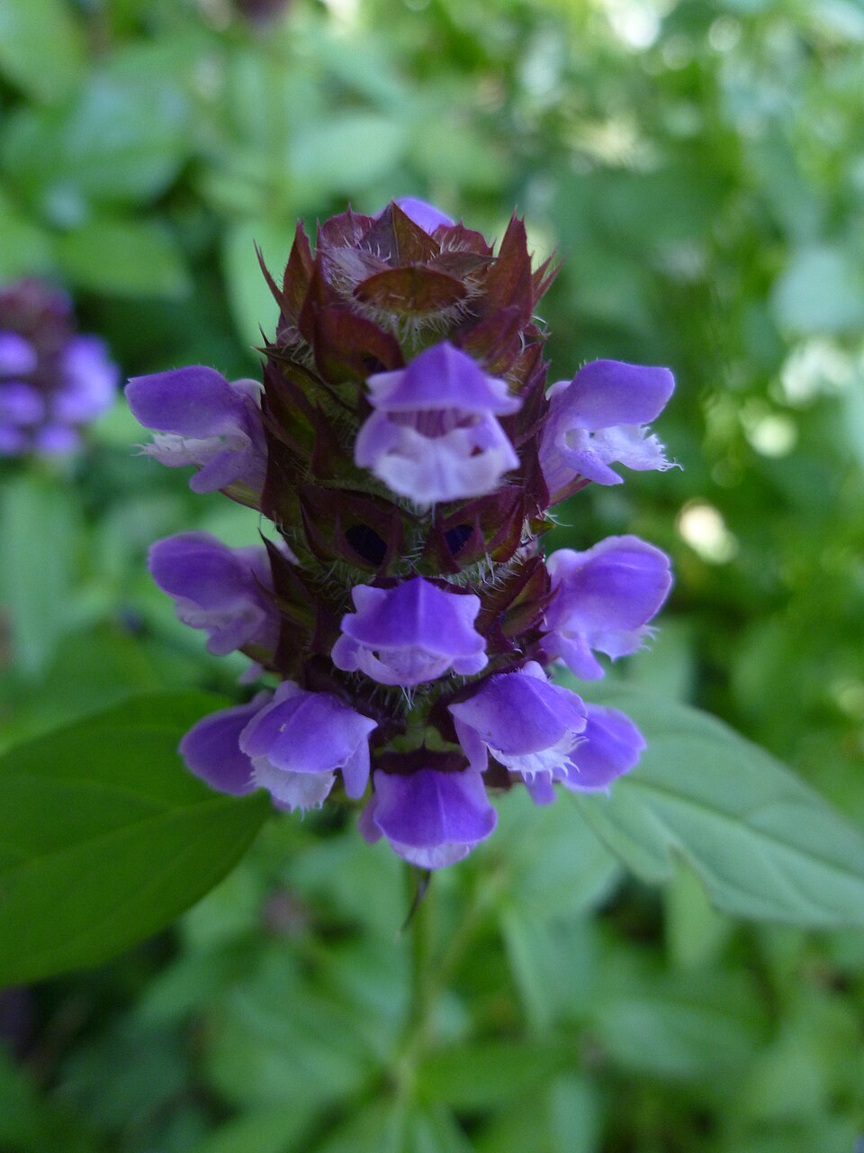
- Common SelfhealPrunella vulgaris
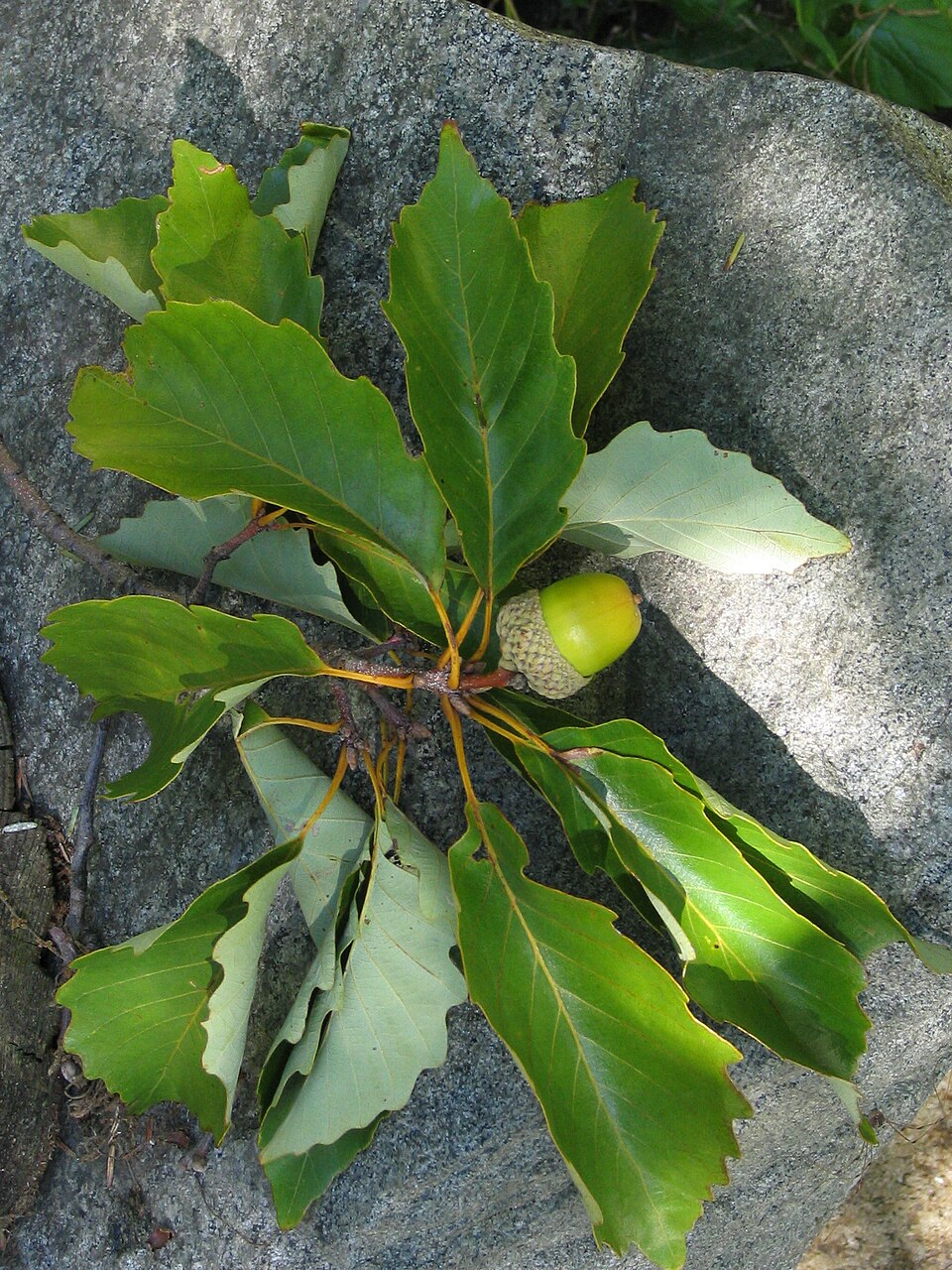
- Chestnut OakQuercus prinus
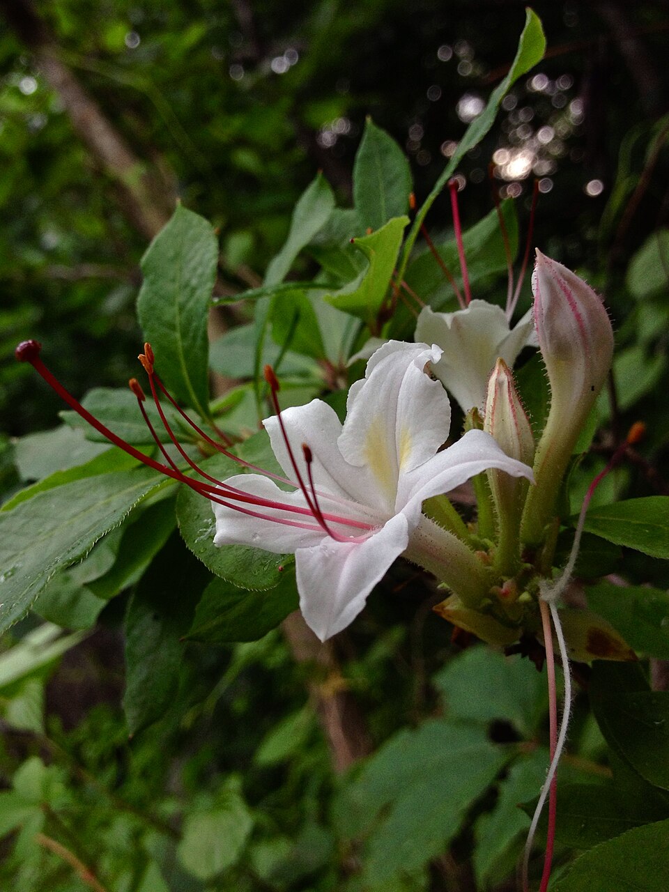
- Smooth AzaleaRhododendron arborescens
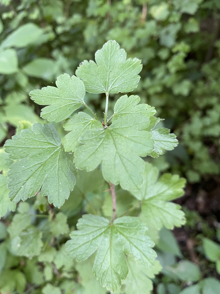
- Appalachian GooseberryRibes rotundifolium
- Virginia Sida; Virginia Mallow; Virginia FanpetalsRipariosida hermaphrodita
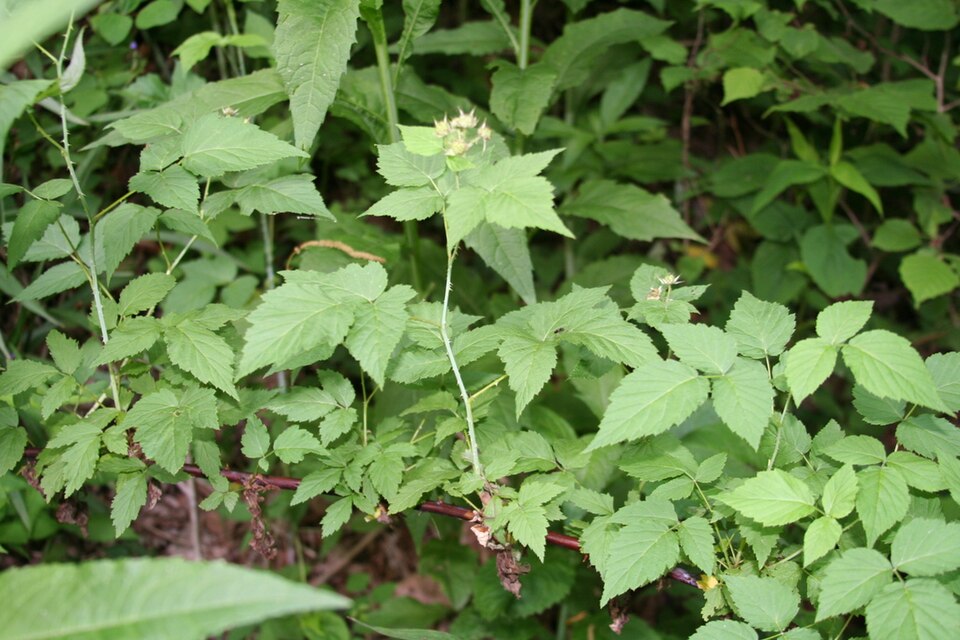
- Allegheny BlackberryRubus allegheniensis
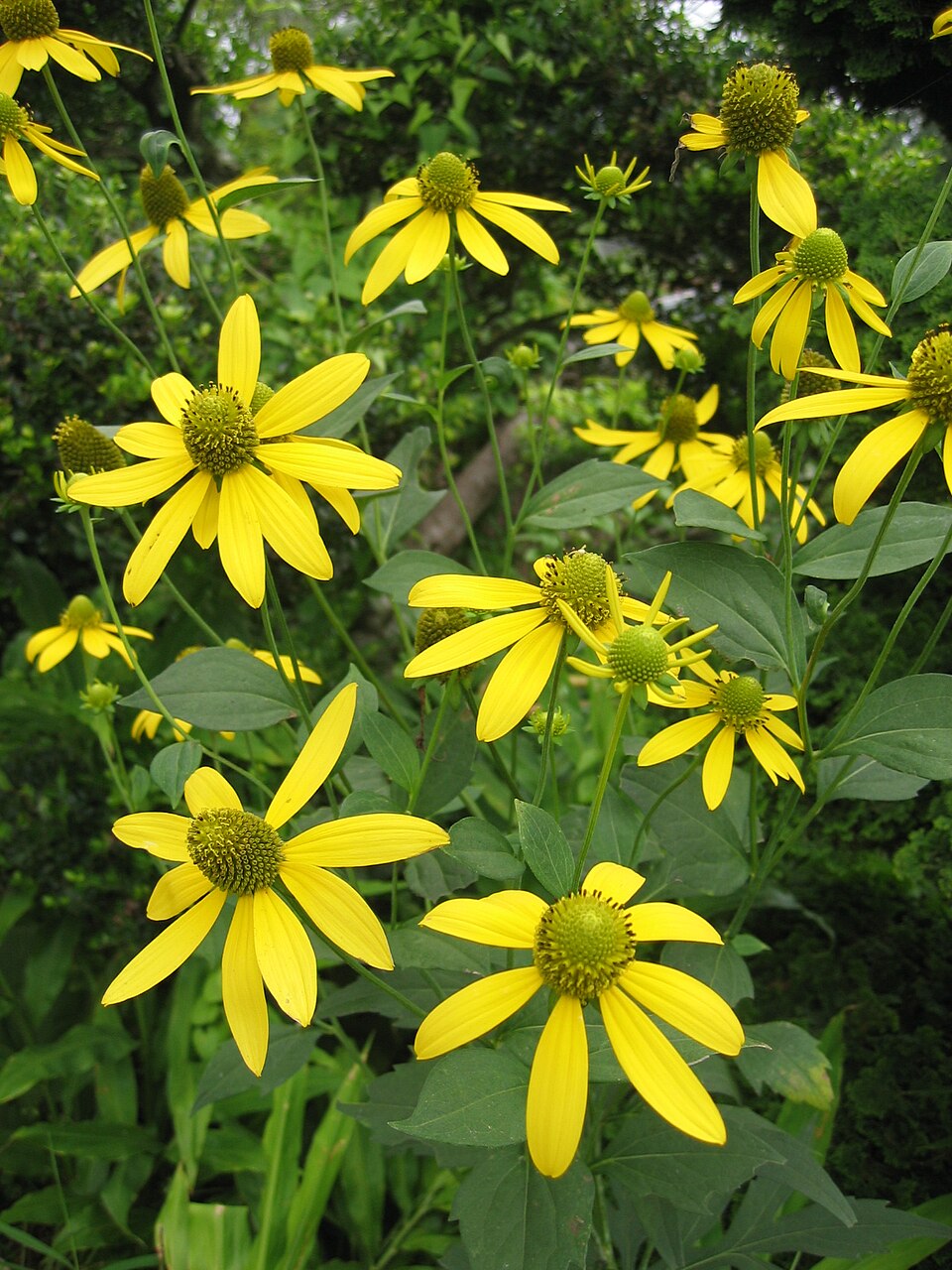
- Cutleaf ConeflowerRudbeckia laciniata
- Coastal Plain WillowSalix caroliniana
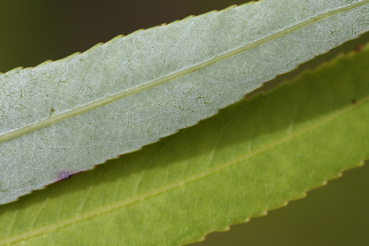
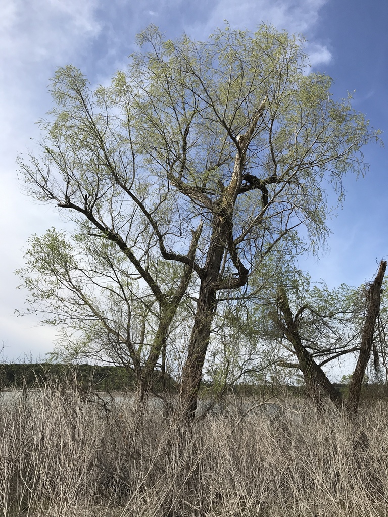
- Black WillowSalix nigra
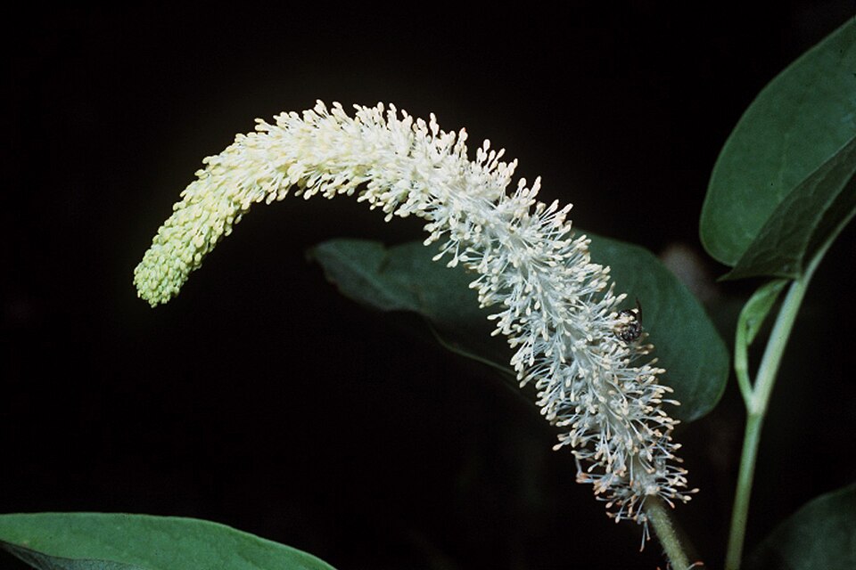
- Lizard's-tailSaururus cernuus
- Common Three Square BulrushSchoenoplectus pungens
- Rock SkullcapScutellaria saxatilis
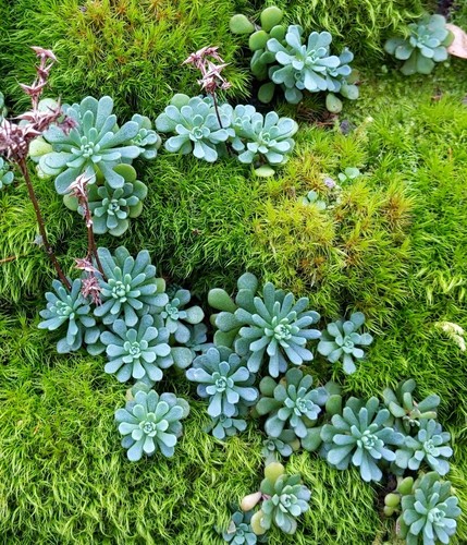
- Cliff StonecropSedum glaucophyllum
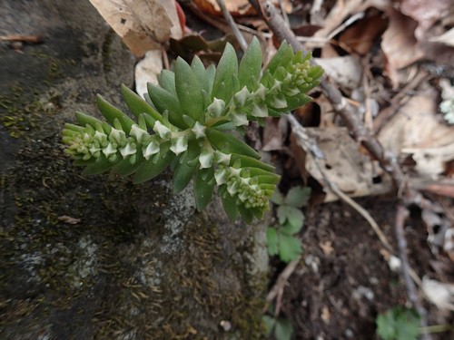
- Woodland StonecropSedum ternatum
Wildlife 193
Other animals whose habitat models include the same habitats in West Virginia. Not sighting records.
- Bank SwallowRiparia riparia
- Common NighthawkChordeiles minor
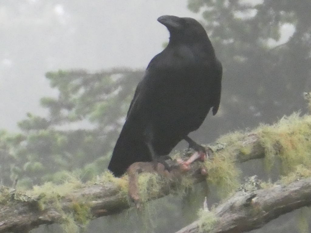
- Common RavenCorvus corax
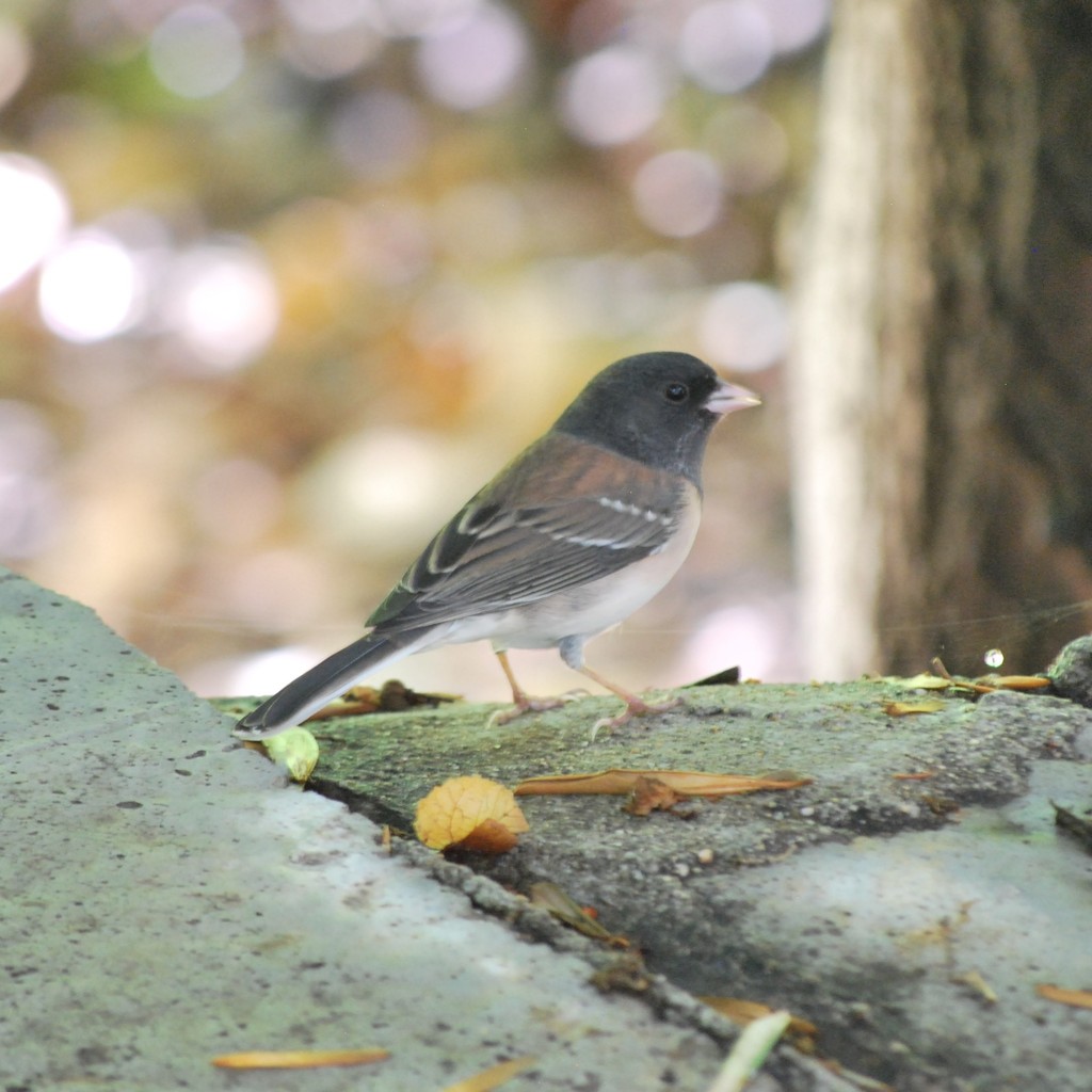
- Dark-eyed JuncoJunco hyemalis
- Eastern KingbirdTyrannus tyrannus
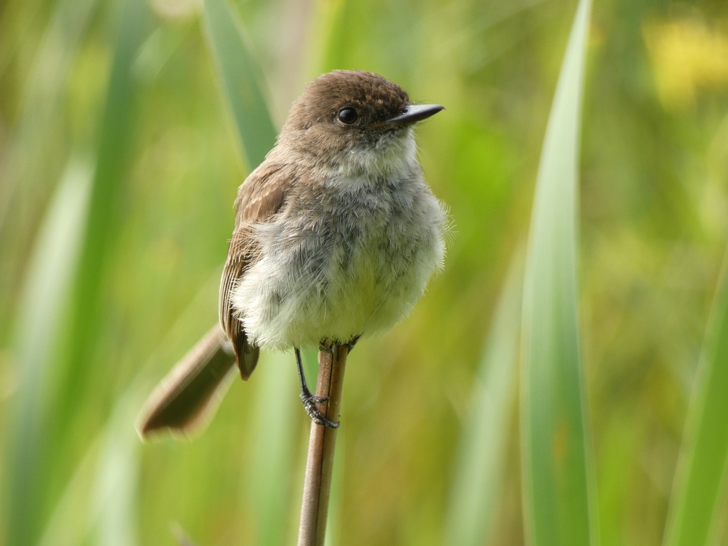
- Eastern PhoebeSayornis phoebe
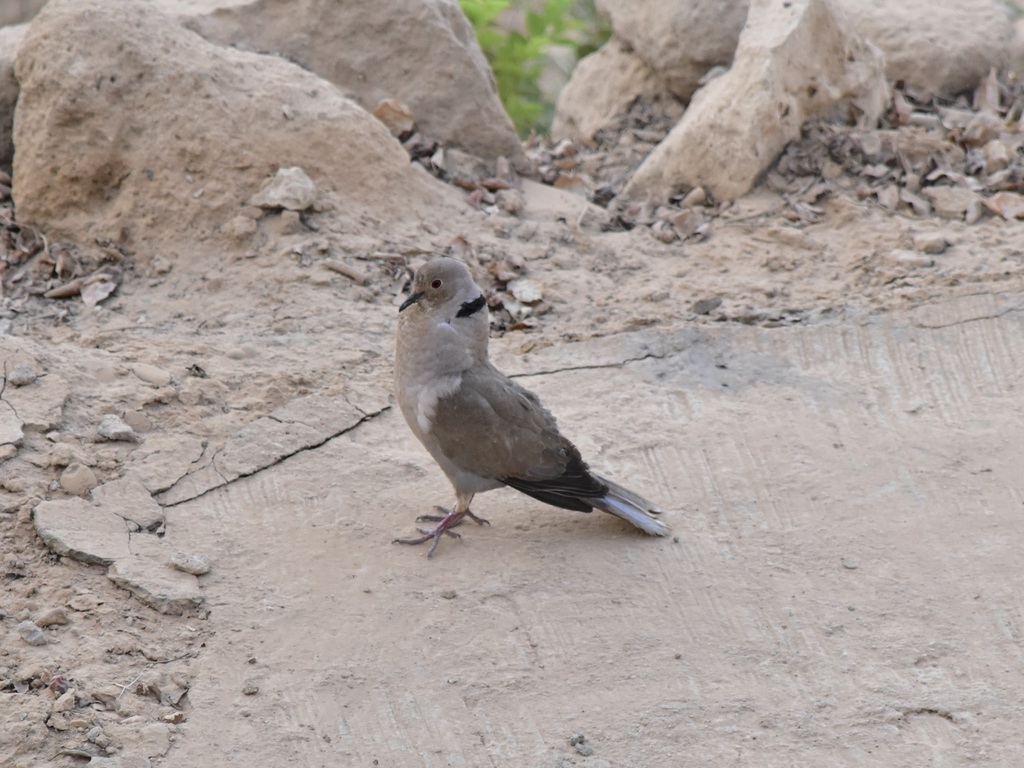
- Eurasian Collared-doveStreptopelia decaocto
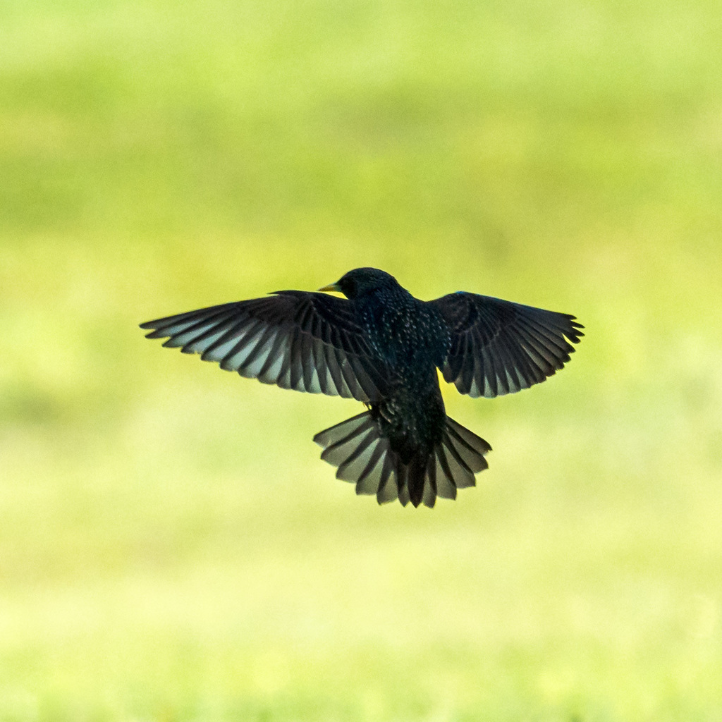
- European StarlingSturnus vulgaris
- Great Horned OwlBubo virginianus
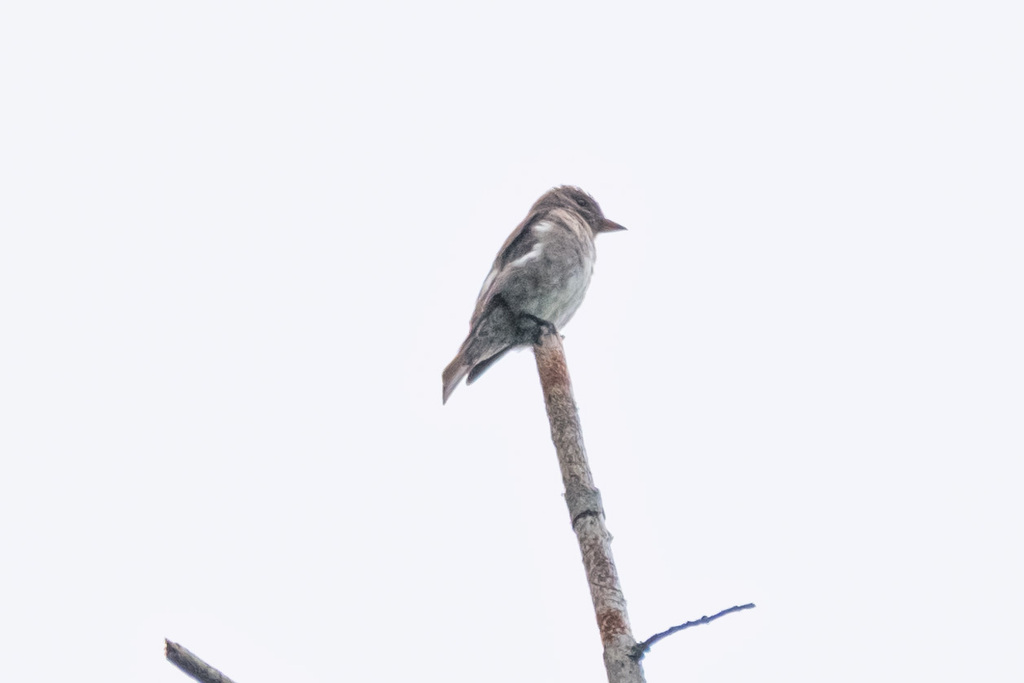
- Olive-sided FlycatcherContopus cooperi
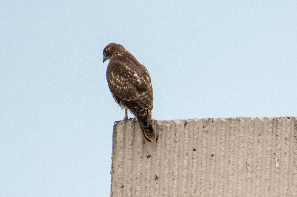
- Red-tailed HawkButeo jamaicensis
- Sharp-shinned HawkAccipiter striatus
- Turkey VultureCathartes aura
- American CrowCorvus brachyrhynchos
- American GoldfinchCarduelis tristis
- American KestrelFalco sparverius
- American RobinTurdus migratorius
- Blue GrosbeakPasserina caerulea
- Chimney SwiftChaetura pelagica
- Chipping SparrowSpizella passerina
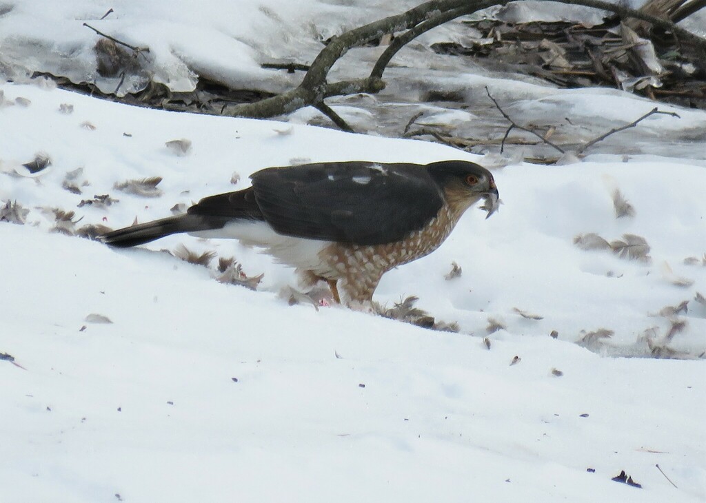
- Cooper's HawkAccipiter cooperii
- Long-eared OwlAsio otus
- Mourning DoveZenaida macroura
- Northern FlickerColaptes auratus




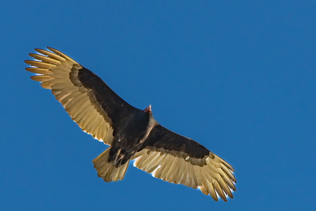


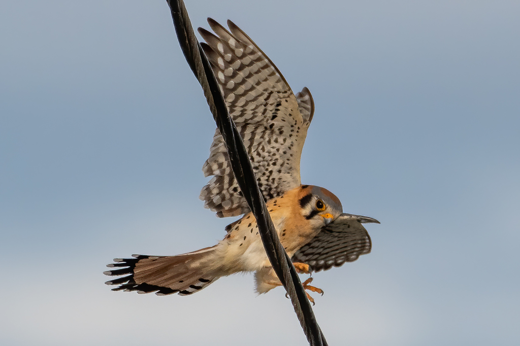

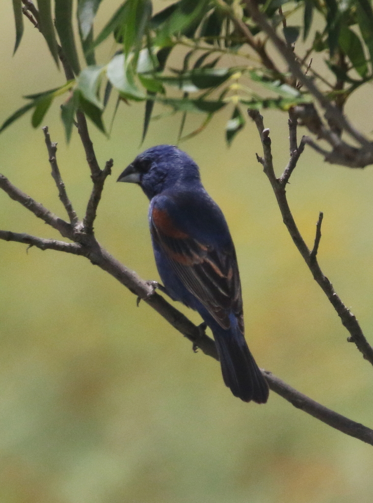

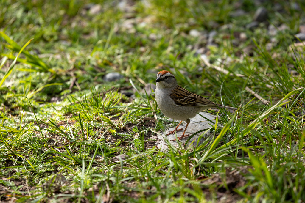

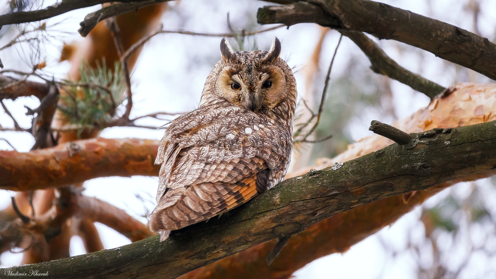
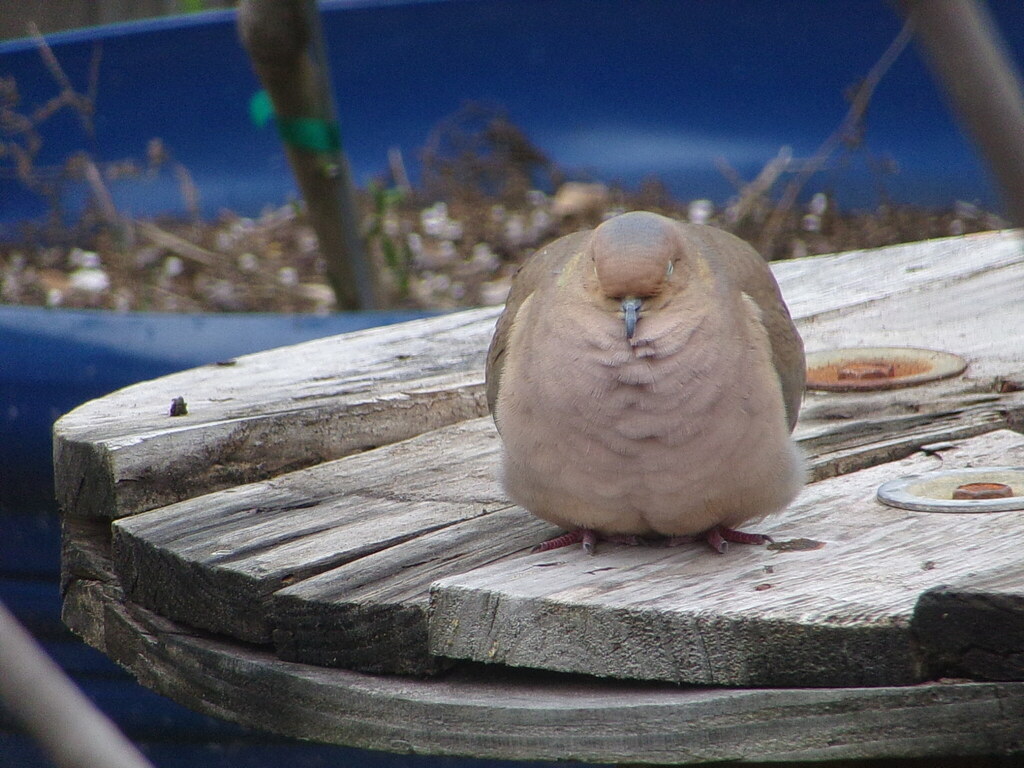
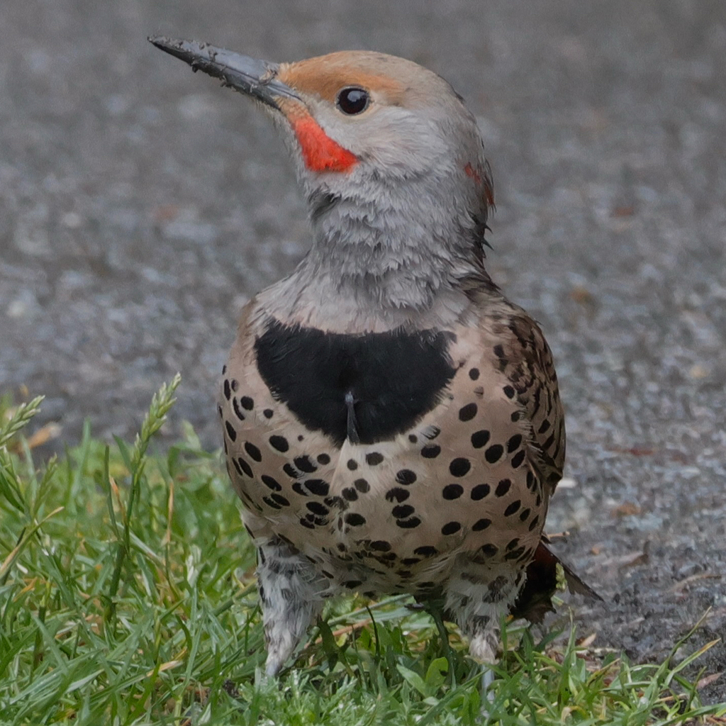
NatureServe Explorer, CC BY 4.0. USGS Gap Analysis Project habitat models.
Sources
- USGS Gap Analysis Project habitat models (2001)
- USGS GAP winter habitat model for Rough-legged Hawk
- USGS Gap Analysis Project range maps (2001), modeled by watershed; migratory gives no dates
- NatureServe Explorer (CC BY 4.0), habitat names
- US Census TIGER/Line counties
- Names follow the USGS Gap Analysis Project (2001)