

Bird
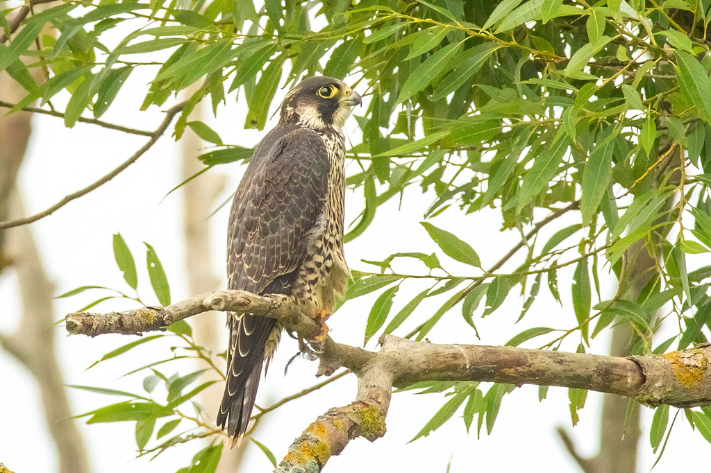
Peregrine Falcon
Falco peregrinus
A summer resident that nests in West Virginia. Found in 9 of 55 counties, across 5 habitats.
- Here
- Summer
- Nesting
- Nests here
- Range
- 9 of 55 counties
- Habitats
- 5
At a glance
- Group
- Birds
- Here
- Summer
- Nesting
- Nests here
- Range
- 9 of 55 counties
- Habitats
- 5
- Habitat models
- Summer, Winter
Where it lives
The places its habitat model includes. It is not found everywhere a habitat occurs.
Habitats in West Virginia 5
Each habitat page lists the plants and wildlife also found there.
Disturbed and introduced wetlands
Wet ground taken over by weedy or introduced plants after disturbance, such as common reed, Chinese tallow or tamarisk stands; the upland counterpart is roadsides, fields and disturbed ground.
Granite and other acidic rock outcrops
Bare or thin-soil rock on granite, gneiss, sandstone, quartzite and similar acidic rock, including granite flatrocks and domes.
Treeless grassy or shrubby summits and ridges in the high mountains.
Roadsides, fields and disturbed ground
Ground opened by people: roadsides, old fields, pastures, fencerows and lots.
Forested wetlands with standing water much of the year, such as cypress and gum swamps.
Other habitats in its models (79)
Land cover, or classes with no habitat page in West Virginia.
- Developed, Low Intensity Summer.
- Developed, Medium Intensity Summer and winter.
- Developed, High Intensity Summer and winter.
- Barren Land Summer.
- Atlantic Coastal Plain Northern Sandy Beach Summer.
- Unconsolidated Shore (Lake/River/Pond) Summer and winter.
- Unconsolidated Shore (Beach/Dune) Summer and winter.
- Unconsolidated Shore Summer and winter.
- Central Interior Calcareous Cliff and Talus Summer.
- Central Interior Acidic Cliff and Talus Summer.
- North-Central Appalachian Circumneutral Cliff and Talus Summer.
- Southern Piedmont Cliff Summer.
- Southern Appalachian Montane Cliff Summer.
- Southern Interior Calcareous Cliff Summer.
- East Gulf Coastal Plain Dry Chalk Bluff Summer.
- Southern Appalachian Rocky Summit Summer.
- Southern Appalachian Granitic Dome Summer.
- Southern Piedmont Granite Flatrock Summer.
- East Gulf Coastal Plain Black Belt Calcareous Prairie and Woodland - Herbaceous Modifier Summer and winter.
- East Gulf Coastal Plain Black Belt Calcareous Prairie and Woodland - Woodland Modifier Summer.
- Eastern Highland Rim Prairie and Barrens - Dry Modifier Summer.
- Central Mixedgrass Prairie Winter.
- Central Tallgrass Prairie Winter.
- Florida Dry Prairie Winter.
- West Gulf Coastal Plain Northern Calcareous Prairie Summer and winter.
- West Gulf Coastal Plain Southern Calcareous Prairie Summer and winter.
- East Gulf Coastal Plain Jackson Prairie and Woodland Summer and winter.
- Atlantic Coastal Plain Southern Dune and Maritime Grassland Summer and winter.
- Southwest Florida Dune and Coastal Grassland Winter.
- Texas-Louisiana Coastal Prairie Winter.
- East Gulf Coastal Plain Dune and Coastal Grassland Winter.
- Central and Upper Texas Coast Dune and Coastal Grassland Winter.
- Harvested Forest - Grass/Forb Regeneration Summer and winter.
- Recently Burned Summer.
- Recently Burned Grassland Summer.
- Introduced Upland Vegetation - Forbland Summer and winter.
- Introduced Upland Vegetation - Annual Grassland Winter.
- Introduced Upland Vegetation - Perennial Grassland Summer and winter.
- Introduced Upland Vegetation - Perennial Grassland and Forbland Summer and winter.
- Modified/Managed Southern Tall Grassland Winter.
- Atlantic Coastal Plain Central Salt and Brackish Tidal Marsh Summer and winter.
- Atlantic Coastal Plain Indian River Lagoon Tidal Marsh Winter.
- Atlantic Coastal Plain Embayed Region Tidal Salt and Brackish Marsh Summer and winter.
- Mississippi Sound Salt and Brackish Tidal Marsh Winter.
- Atlantic Coastal Plain Northern Tidal Salt Marsh Summer and winter.
- Florida Big Bend Salt-Brackish Tidal Marsh Winter.
- Atlantic Coastal Plain Clay-Based Carolina Bay Herbaceous Wetland Summer and winter.
- Southern Coastal Plain Seepage Swamp and Baygall Summer.
- West Gulf Coastal Plain Seepage Swamp and Baygall Summer.
- East Gulf Coastal Plain Tidal Wooded Swamp Winter.
- Atlantic Coastal Plain Streamhead Seepage Swamp - Pocosin - and Baygall Summer.
- Atlantic Coastal Plain Large Natural Lakeshore Summer and winter.
- Atlantic Coastal Plain Southern Tidal Wooded Swamp Winter.
- South Florida Everglades Sawgrass Marsh Winter.
- Gulf and Atlantic Coastal Plain Tidal Marsh Systems Winter.
- Floridian Highlands Freshwater Marsh Winter.
- Atlantic Coastal Plain Embayed Region Tidal Freshwater Marsh Summer and winter.
- Central Florida Herbaceous Seep Winter.
- Florida Big Bend Fresh-Oligohaline Tidal Marsh Winter.
- Atlantic Coastal Plain Northern Fresh and Oligohaline Tidal Marsh Summer and winter.
- Atlantic Coastal Plain Northern Tidal Wooded Swamp Summer.
- South Florida Mangrove Swamp Winter.
- West Gulf Coastal Plain Near-Coast Large River Swamp Winter.
- Northern Atlantic Coastal Plain Basin Swamp and Wet Hardwood Forest Summer.
- Atlantic Coastal Plain Central Fresh-Oligohaline Tidal Marsh Summer and winter.
- Atlantic Coastal Plain Clay-Based Carolina Bay Forested Wetland Summer.
- Atlantic and Gulf Coastal Plain Interdunal Wetland Summer and winter.
- Southern and Central Appalachian Bog and Fen Summer.
- South Florida Wet Marl Prairie Winter.
- East Gulf Coastal Plain Savanna and Wet Prairie Winter.
- Texas Saline Coastal Prairie Winter.
- Eastern Great Plains Wet Meadow, Prairie, and Marsh Winter.
- Great Plains Prairie Pothole Summer.
- Central Florida Herbaceous Pondshore Winter.
- East Gulf Coastal Plain Southern Depression Pondshore Winter.
- Atlantic Coastal Plain Depression Pondshore Summer and winter.
- South Florida Freshwater Slough and Gator Hole Winter.
- East Gulf Coastal Plain Large River Floodplain Forest - Herbaceous Modifier Winter.
- Texas-Louisiana Coastal Prairie Slough Winter.
Seasons in West Virginia
- Summer: nests here, in 9 of 55 counties.
Also found in this habitat
Plants 218
Plants named in NatureServe descriptions of these habitats that grow in West Virginia. Shared habitat, not food.
- Littleflower AlumrootHeuchera parviflora
- Rock FirmossHuperzia porophila
- MinniebushMenziesia pilosa
- Michaux's SaxifrageMicranthes petiolaris
- Rock MuhlyMuhlenbergia sobolifera
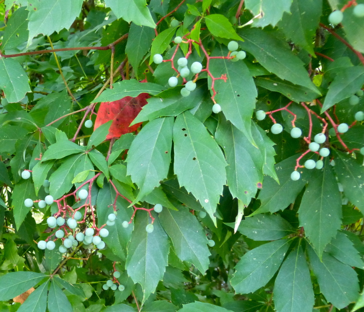
- Virginia CreeperParthenocissus quinquefolia
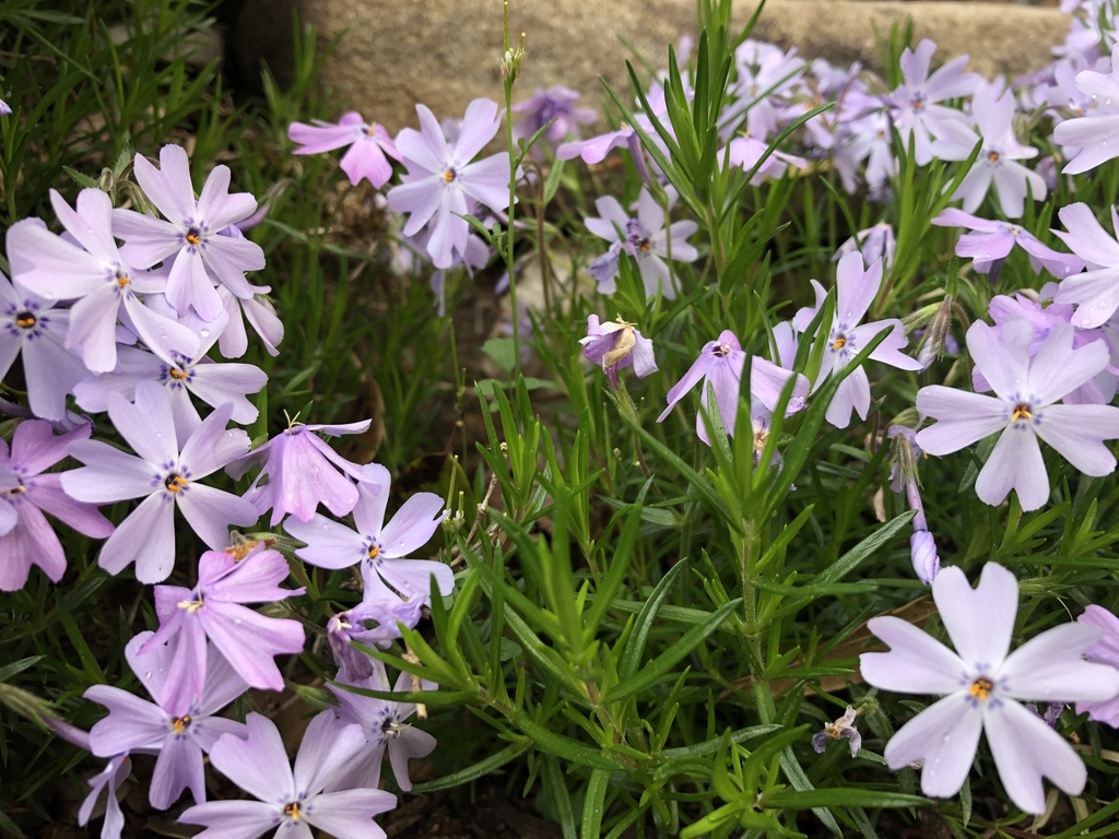
- Moss PhloxPhlox subulata
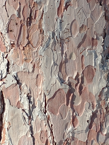
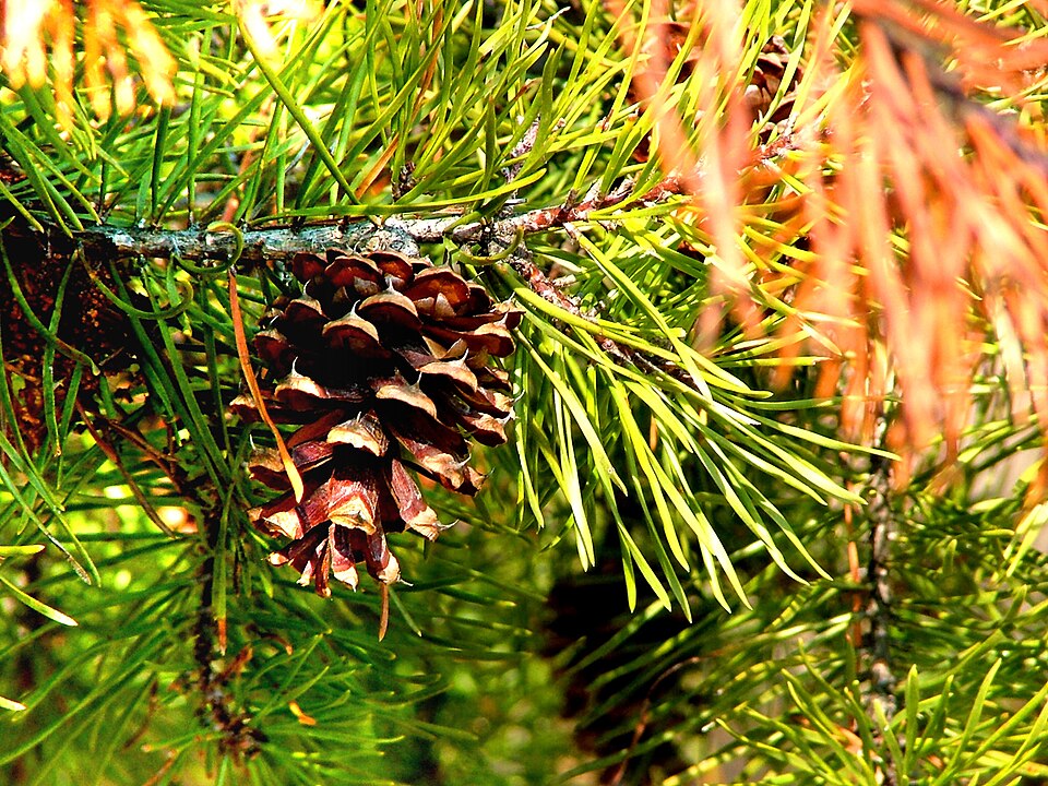
- Red PinePinus resinosa
- Virginia PinePinus virginiana
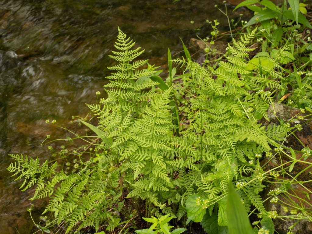
- Common Rockcap FernPolypodium virginianum
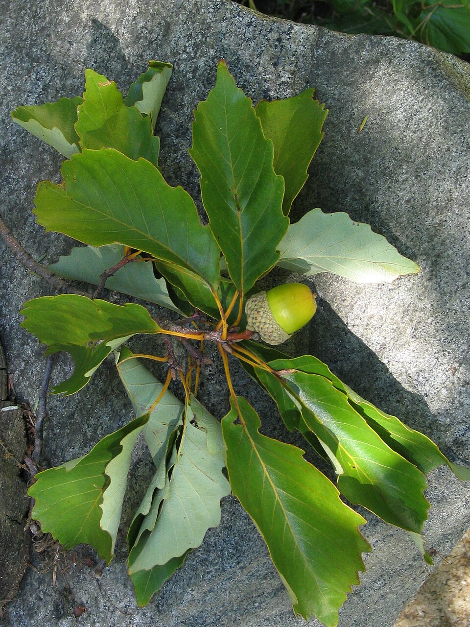
- Chestnut OakQuercus prinus
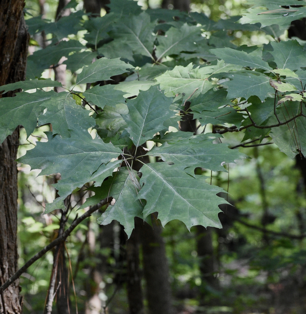
- Northern Red OakQuercus rubra
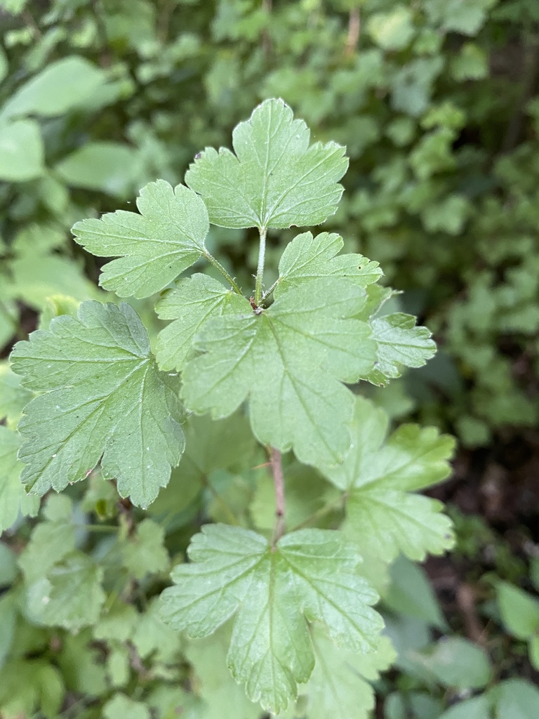
- Appalachian GooseberryRibes rotundifolium
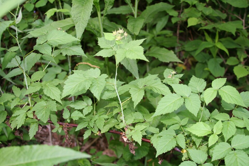
- Allegheny BlackberryRubus allegheniensis
- Rock SkullcapScutellaria saxatilis
- Round Leaf Fire PinkSilene rotundifolia
- Rough DropseedSporobolus clandestinus
- Appalachian Filmy-fernVandenboschia boschiana
- Appalachian Cliff FernWoodsia appalachiana
- Rusty Cliff FernWoodsia ilvensis
- Blunt-lobe Cliff FernWoodsia obtusa
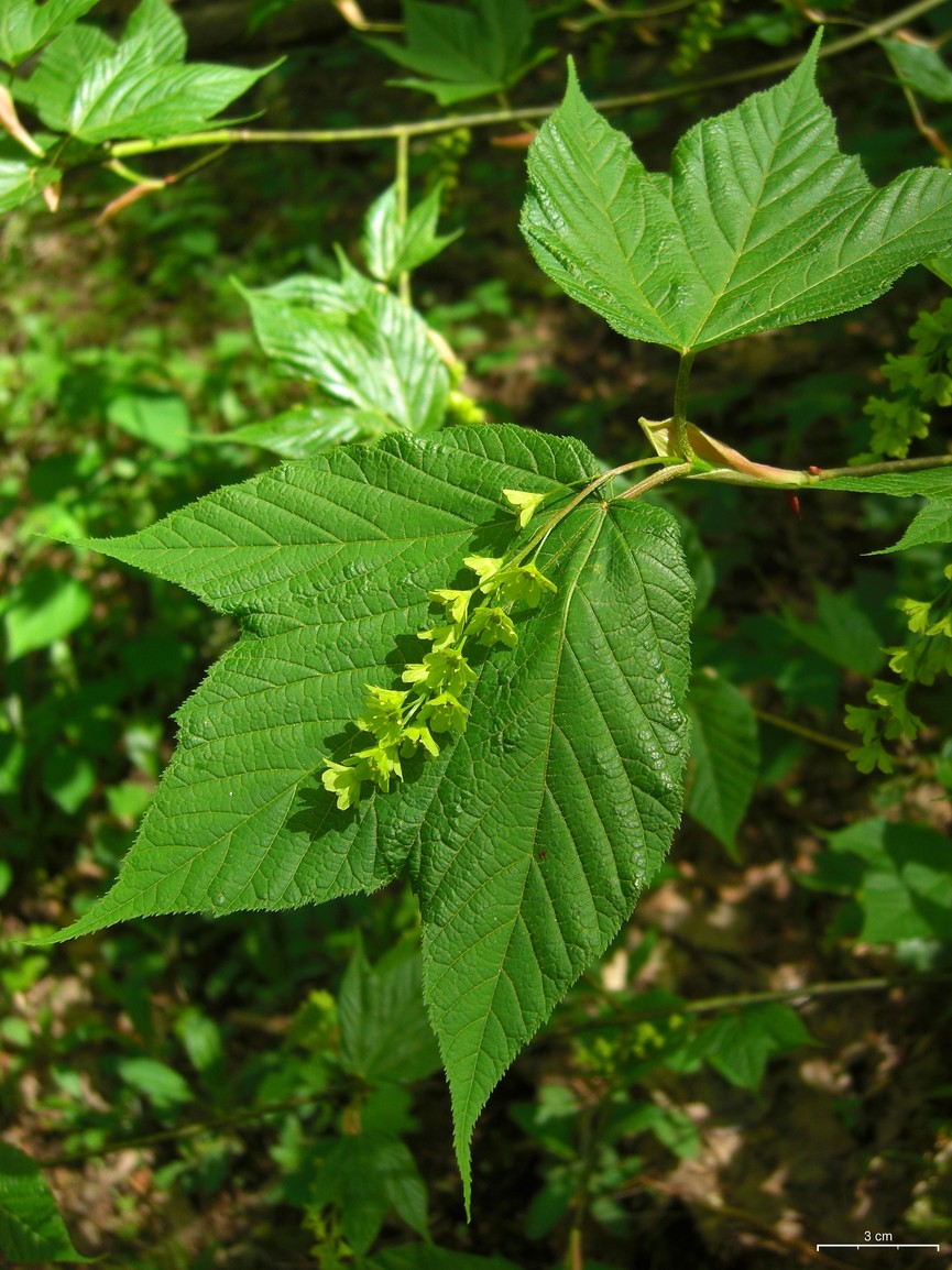
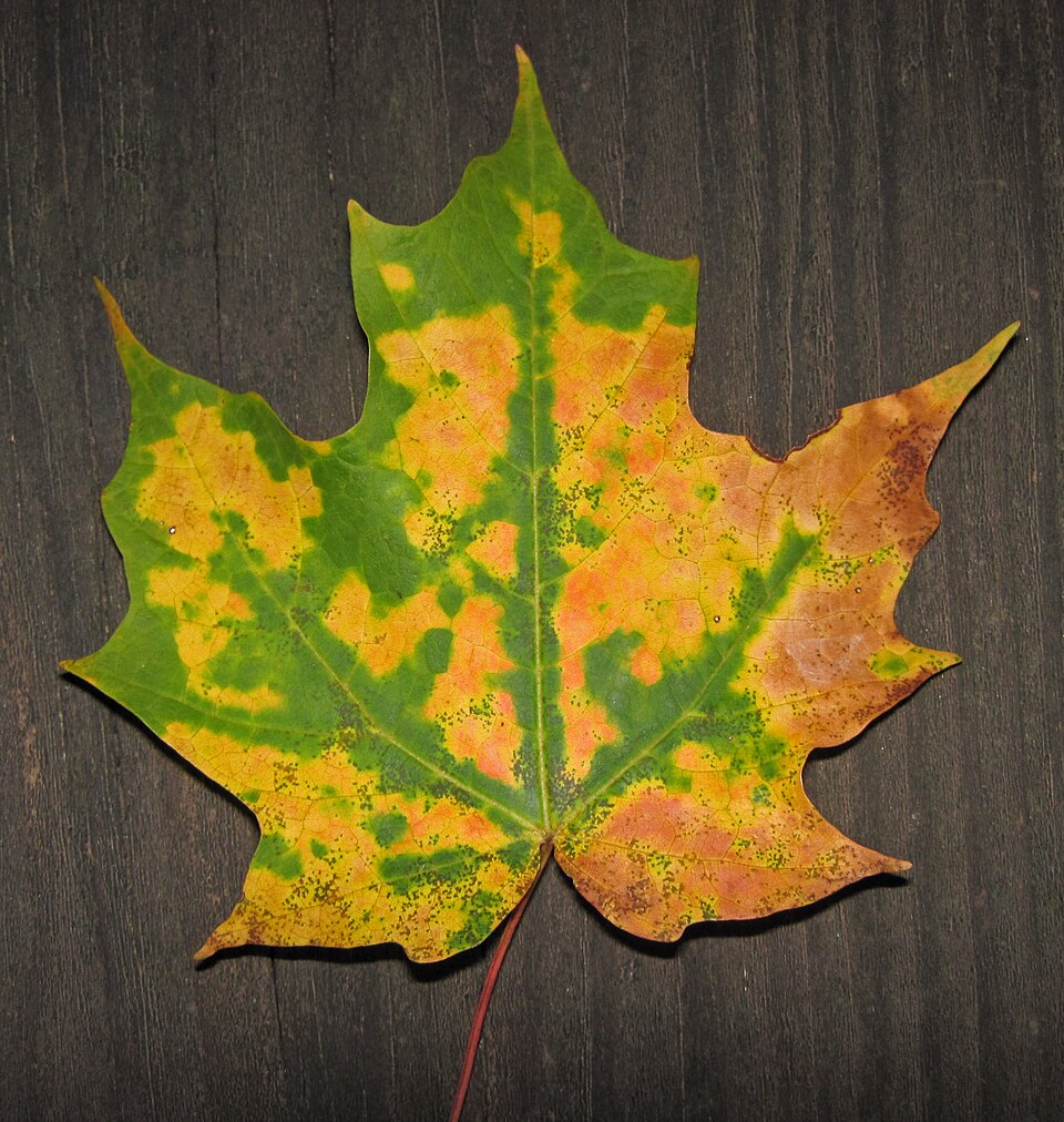
- Striped MapleAcer pensylvanicum
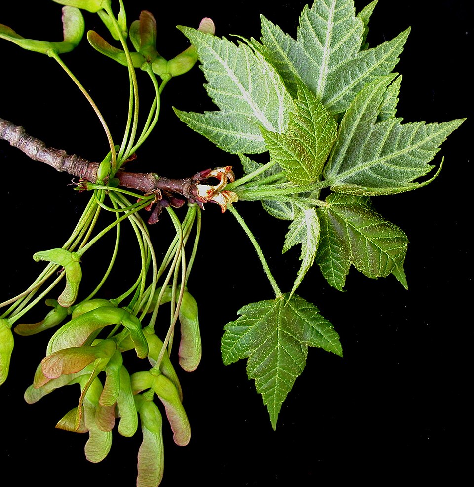
- Red MapleAcer rubrum
- Sugar MapleAcer saccharum
Wildlife 203
Other animals whose habitat models include the same habitats in West Virginia. Not sighting records.
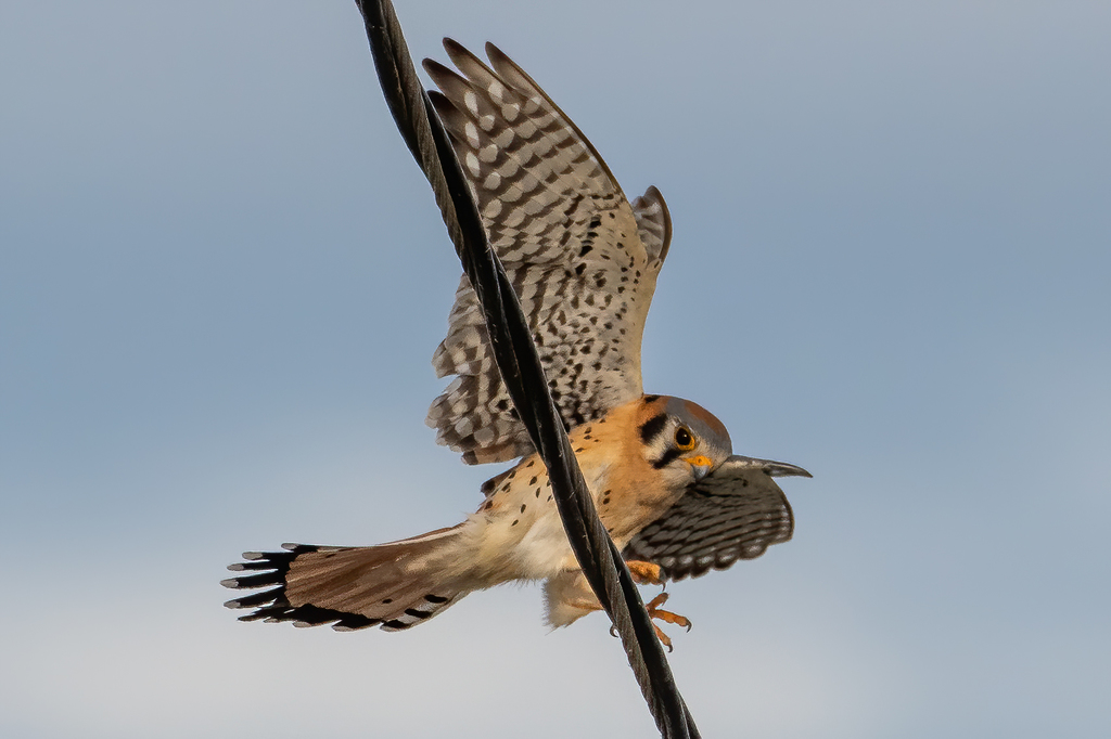
- American KestrelFalco sparverius
- Chimney SwiftChaetura pelagica
- Common NighthawkChordeiles minor
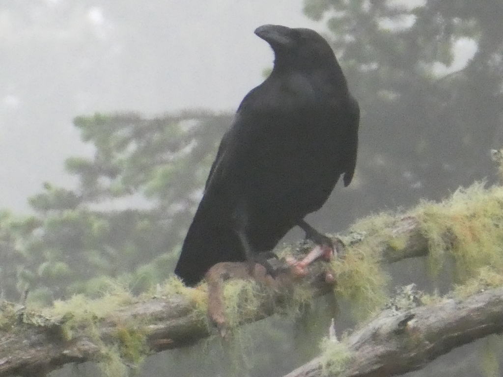
- Common RavenCorvus corax
- Eastern KingbirdTyrannus tyrannus
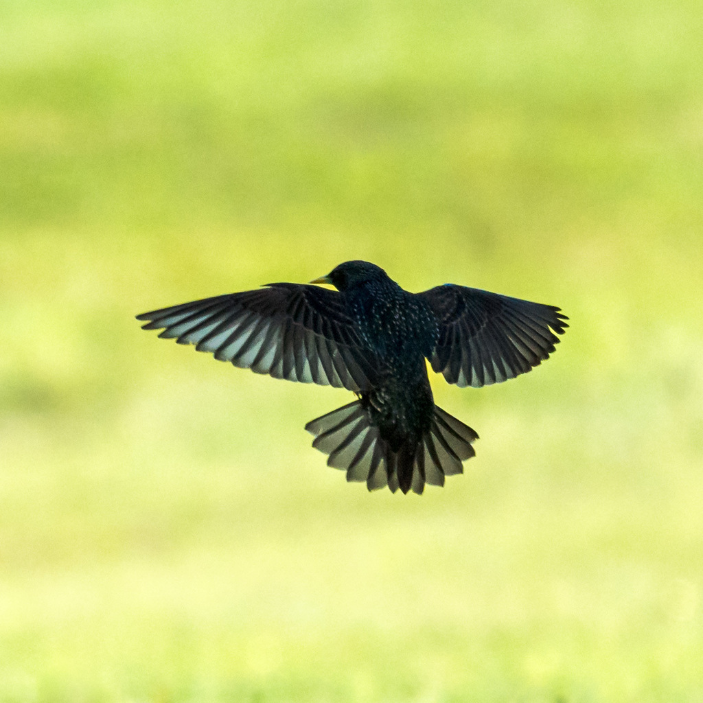
- European StarlingSturnus vulgaris
- Great Horned OwlBubo virginianus
- Red-tailed HawkButeo jamaicensis
- Sharp-shinned HawkAccipiter striatus
- Turkey VultureCathartes aura
- Alder FlycatcherEmpidonax alnorum
- American CrowCorvus brachyrhynchos
- American GoldfinchCarduelis tristis
- American RobinTurdus migratorius
- Bank SwallowRiparia riparia
- Chestnut-sided WarblerDendroica pensylvanica
- Cliff SwallowPetrochelidon pyrrhonota
- Cooper's HawkAccipiter cooperii
- Dark-eyed JuncoJunco hyemalis
- Eastern PhoebeSayornis phoebe
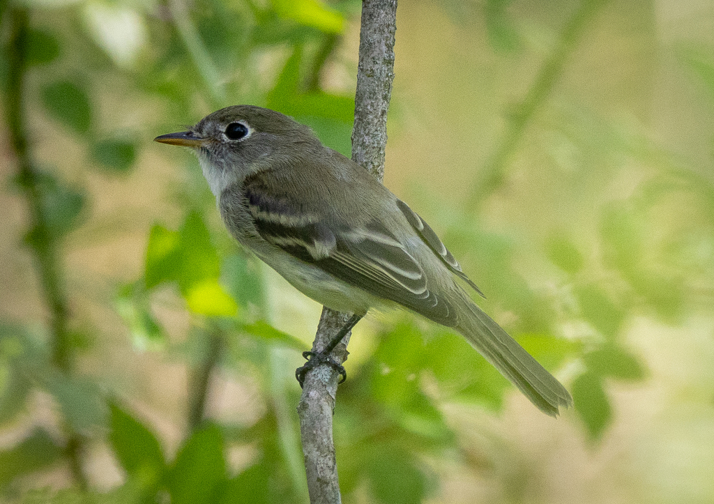
- Least FlycatcherEmpidonax minimus
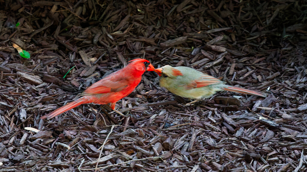
- Northern CardinalCardinalis cardinalis
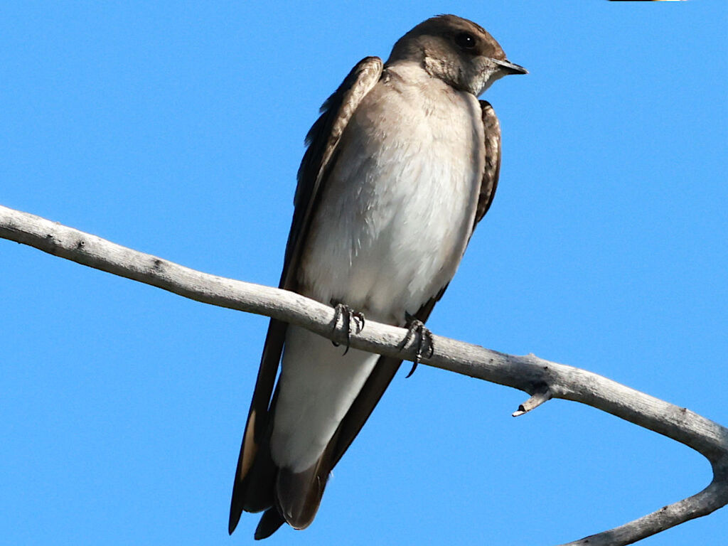
- Northern Rough-winged SwallowStelgidopteryx serripennis
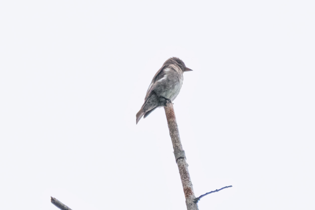
- Olive-sided FlycatcherContopus cooperi




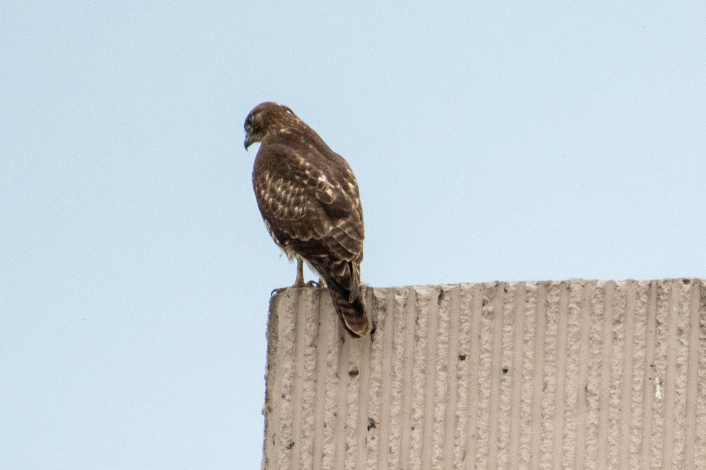
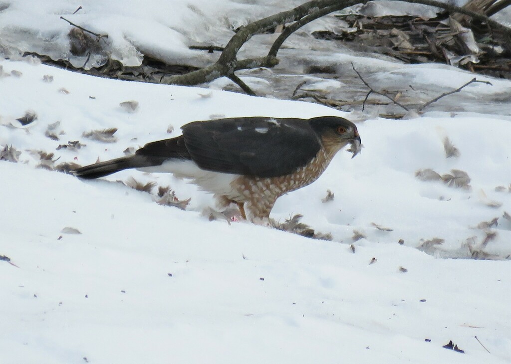
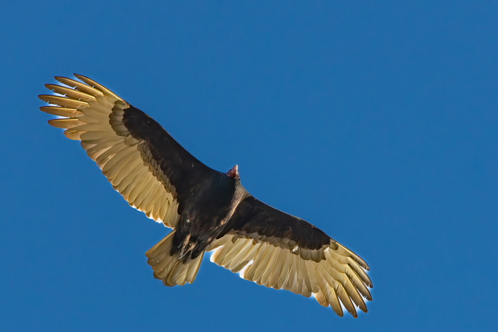
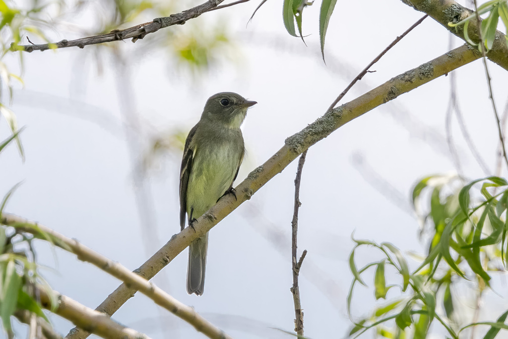




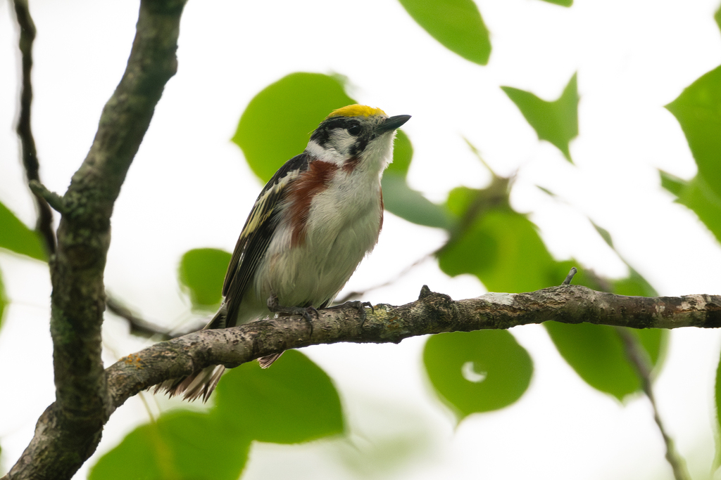
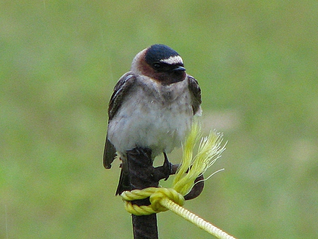

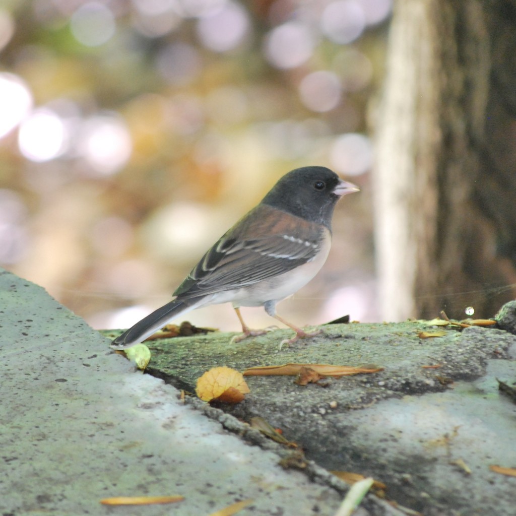
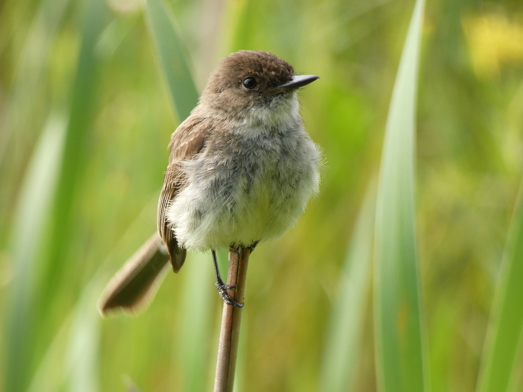
NatureServe Explorer, CC BY 4.0. USGS Gap Analysis Project habitat models.
Sources
- USGS Gap Analysis Project habitat models (2001)
- USGS GAP winter habitat model for Peregrine Falcon
- USGS Gap Analysis Project range maps (2001), modeled by watershed; migratory gives no dates
- NatureServe Explorer (CC BY 4.0), habitat names
- US Census TIGER/Line counties
- Names follow the USGS Gap Analysis Project (2001)