

Bird
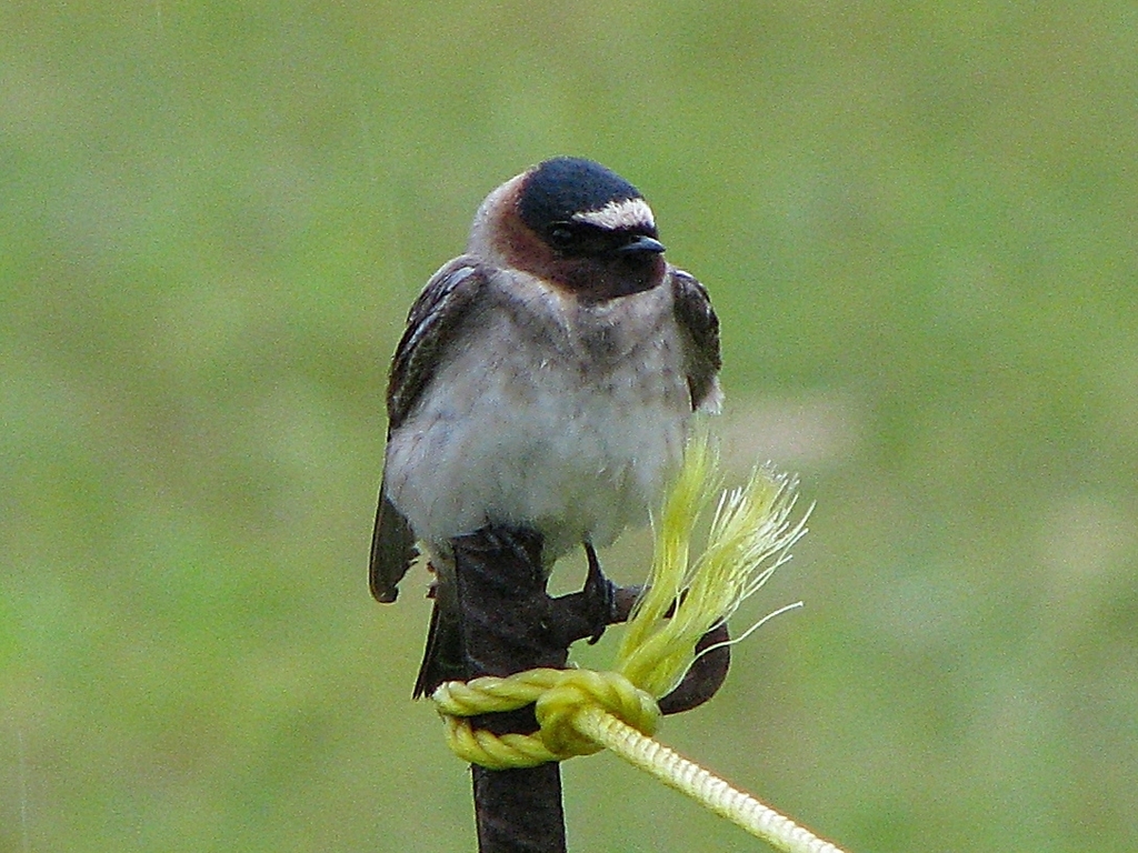
Cliff Swallow
Petrochelidon pyrrhonota
A summer resident that nests in West Virginia. Found in all 55 counties, across 8 habitats.
- Here
- Summer and on migration
- Nesting
- Nests here
- Range
- All 55 counties
- Habitats
- 8
At a glance
- Group
- Birds
- Here
- Summer and on migration
- Nesting
- Nests here
- Range
- All 55 counties
- Habitats
- 8
- Habitat models
- Summer
Where it lives
The places its habitat model includes. It is not found everywhere a habitat occurs.
Habitats in West Virginia 8
Each habitat page lists the plants and wildlife also found there.
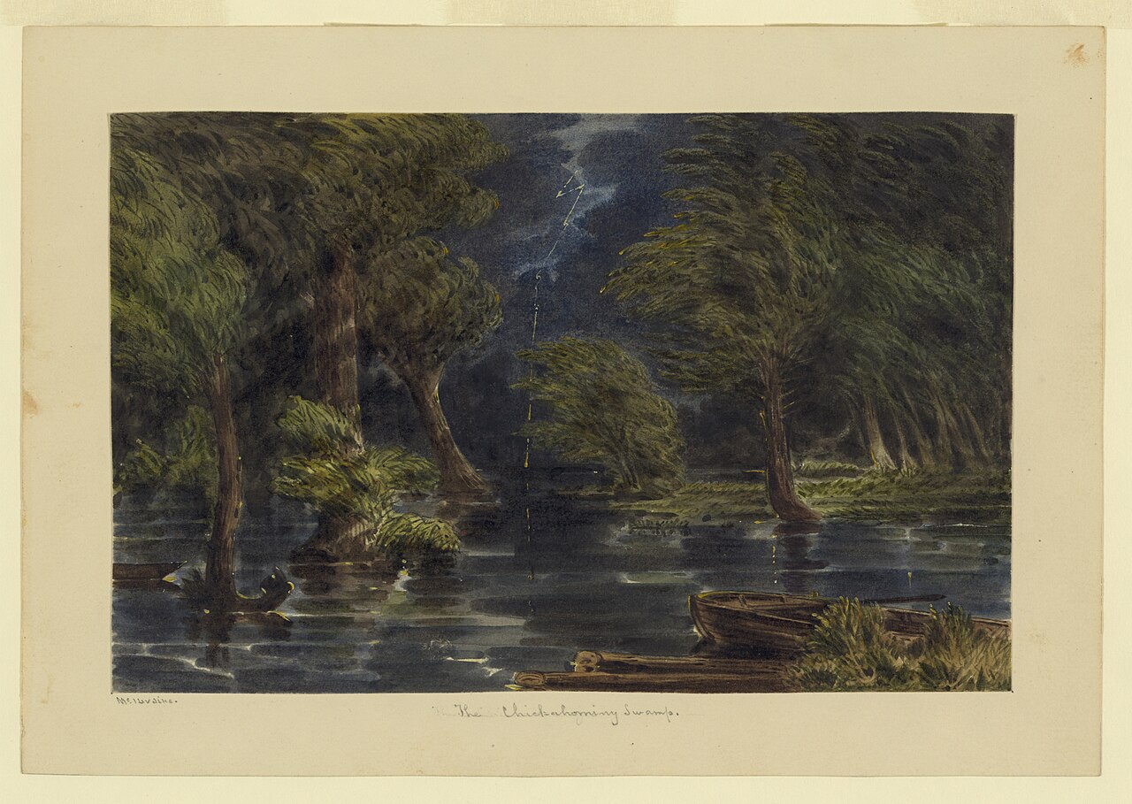
Disturbed and introduced wetlands
Wet ground taken over by weedy or introduced plants after disturbance, such as common reed, Chinese tallow or tamarisk stands; the upland counterpart is roadsides, fields and disturbed ground.
Floodplain and bottomland forests
Forests on low ground beside rivers and streams that flood from time to time.
Still water and its edges: ponds, lakes, millponds and reservoirs.
Streams, rivers and their banks
Flowing water and its banks, bars and rocky shoals.
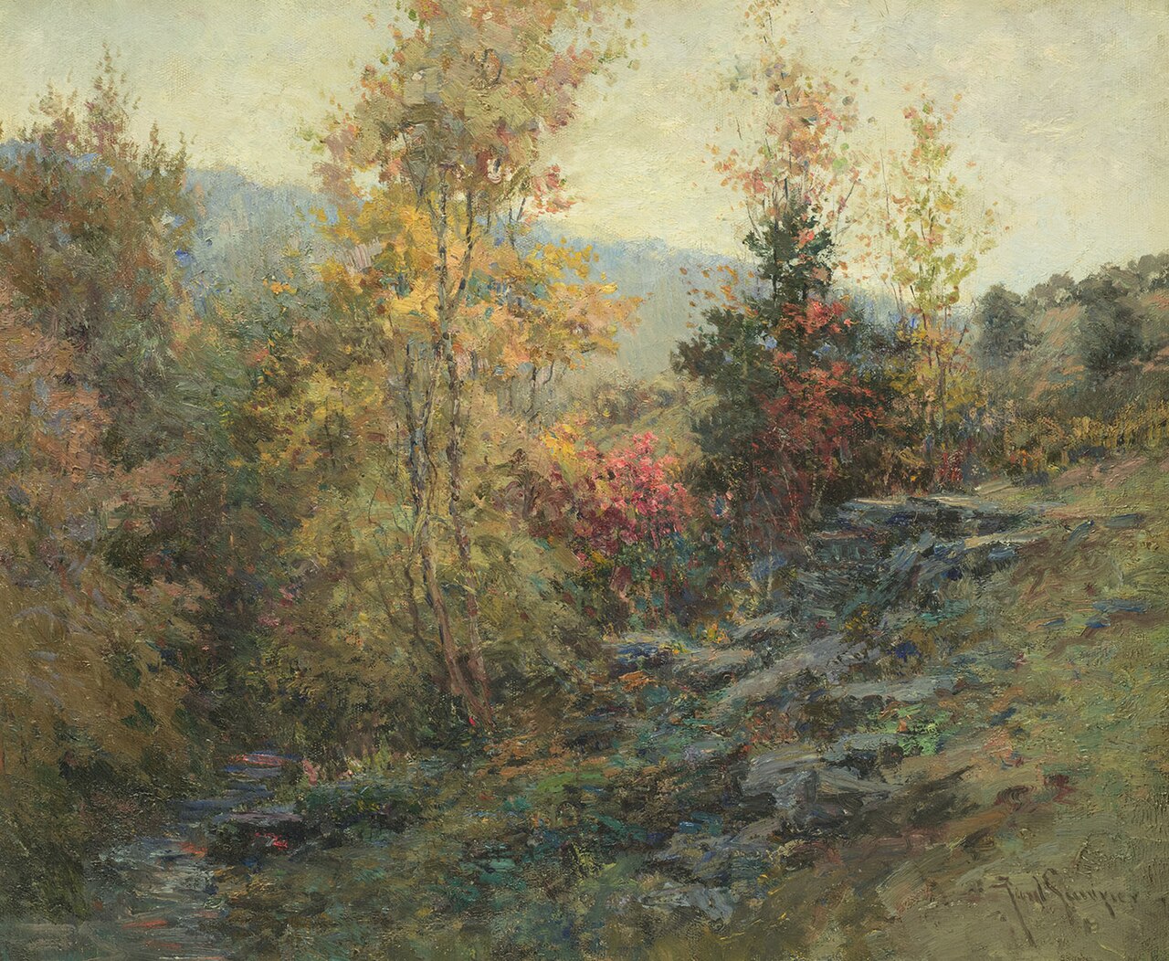
Granite and other acidic rock outcrops
Bare or thin-soil rock on granite, gneiss, sandstone, quartzite and similar acidic rock, including granite flatrocks and domes.
Roadsides, fields and disturbed ground
Ground opened by people: roadsides, old fields, pastures, fencerows and lots.
Other habitats in its models (69)
Land cover, or classes with no habitat page in West Virginia. Those recorded in West Virginia first, the rest by region.
In West Virginia 1
- North-Central Appalachian Circumneutral Cliff and Talus Summer, only within 2,000 m of water.
Elsewhere in the South (33)
- Central and Upper Texas Coast Dune and Coastal Grassland Summer.
- Central Florida Herbaceous Pondshore Summer.
- Central Florida Herbaceous Seep Summer.
- Central Florida Pine Flatwoods Summer, only within 2,000 m of water.
- East-Central Texas Plains Post Oak Savanna and Woodland Summer, only within 2,000 m of water.
- East-Central Texas Plains Riparian Forest Summer.
- Edwards Plateau Limestone Savanna and Woodland Summer, only within 2,000 m of water.
- Nashville Basin Limestone Glade Summer, only within 2,000 m of water.
- Ozark-Ouachita Riparian Summer.
- Red River Large Floodplain Forest Summer.
- South-Central Interior / Upper Coastal Plain Wet Flatwoods Summer.
- Southeastern Great Plains Tallgrass Prairie Summer, only within 2,000 m of water.
- Southeastern Interior Longleaf Pine Woodland Summer, only within 2,000 m of water.
- Southern and Central Appalachian Bog and Fen Summer.
- Southern Appalachian Montane Cliff Summer, only within 2,000 m of water.
- Southern Appalachian Rocky Summit Summer, only within 2,000 m of water.
- Southern Blackland Tallgrass Prairie Summer, only within 2,000 m of water.
- Southern Piedmont Cliff Summer, only within 2,000 m of water.
- Southern Piedmont Glade and Barrens Summer, only within 2,000 m of water.
- Southern Piedmont Small Floodplain and Riparian Forest Summer.
- Texas Saline Coastal Prairie Summer.
- Texas-Louisiana Coastal Prairie Summer, only within 2,000 m of water.
- West Gulf Coastal Plain Catahoula Barrens Summer, only within 2,000 m of water.
- West Gulf Coastal Plain Large River Floodplain Forest Summer.
- West Gulf Coastal Plain Near-Coast Large River Swamp Summer.
- West Gulf Coastal Plain Nepheline Syenite Glade Summer, only within 2,000 m of water.
- West Gulf Coastal Plain Nonriverine Wet Hardwood Flatwoods Summer.
- West Gulf Coastal Plain Northern Calcareous Prairie Summer, only within 2,000 m of water.
- West Gulf Coastal Plain Pine-Hardwood Flatwoods Summer, only within 2,000 m of water.
- West Gulf Coastal Plain Seepage Swamp and Baygall Summer.
- West Gulf Coastal Plain Small Stream and River Forest Summer.
- West Gulf Coastal Plain Southern Calcareous Prairie Summer, only within 2,000 m of water.
- West Gulf Coastal Plain Wet Longleaf Pine Savanna and Flatwoods Summer.
Northeast (3)
- North-Central Interior Wet Flatwoods Summer.
- Northeastern Interior Pine Barrens Summer, only within 2,000 m of water.
- Northern Atlantic Coastal Plain Basin Swamp and Wet Hardwood Forest Summer.
Midwest (8)
- Central Interior Acidic Cliff and Talus Summer, only within 2,000 m of water.
- Central Interior Calcareous Cliff and Talus Summer, only within 2,000 m of water.
- Central Mixedgrass Prairie Summer, only within 2,000 m of water.
- Central Tallgrass Prairie Summer, only within 2,000 m of water.
- North-Central Interior Oak Savanna Summer, only within 2,000 m of water.
- North-Central Interior Sand and Gravel Tallgrass Prairie Summer, only within 2,000 m of water.
- North-Central Oak Barrens Summer, only within 2,000 m of water.
- Western Great Plains Wooded Draw and Ravine Summer, only within 2,000 m of water.
Land cover and other classes (24)
- Arkansas Valley Prairie and Woodland Summer, only within 2,000 m of water.
- Central Interior and Appalachian Shrub-Herbaceous Wetland Systems Summer.
- Developed, Low Intensity Summer, only within 2,000 m of water.
- Developed, Medium Intensity Summer, only within 2,000 m of water.
- Eastern Great Plains Floodplain Systems Summer.
- Eastern Great Plains Wet Meadow, Prairie, and Marsh Summer.
- Eastern Highland Rim Prairie and Barrens - Dry Modifier Summer, only within 2,000 m of water.
- Harvested Forest - Grass/Forb Regeneration Summer, only within 2,000 m of water.
- Introduced Upland Vegetation - Annual Grassland Summer, only within 2,000 m of water.
- Introduced Upland Vegetation - Forbland Summer, only within 2,000 m of water.
- Introduced Upland Vegetation - Perennial Grassland Summer, only within 2,000 m of water.
- Modified/Managed Southern Tall Grassland Summer, only within 2,000 m of water.
- Open Water (Aquaculture) Summer.
- Recently Burned Grassland Summer, only within 2,000 m of water.
- Recently Burned Shrubland Summer, only within 2,000 m of water.
- South-Central Interior Large Floodplain - Herbaceous Modifier Summer.
- Southern Piedmont Large Floodplain Forest - Forest Modifier Summer.
- Southern Piedmont/Ridge and Valley Upland Depression Swamp Summer.
- Tamaulipan Riparian Systems Summer.
- Texas-Louisiana Coastal Prairie Slough Summer.
- Unconsolidated Shore (Beach/Dune) Summer.
- Unconsolidated Shore (Lake/River/Pond) Summer.
- Western Great Plains Depressional Wetland Systems Summer.
- Western Great Plains Floodplain Systems Summer.
Seasons in West Virginia
- Migratory: does not nest here, in 17 of 55 counties.
- Summer: nests here, in all 55 counties.
Also found in its main habitats
Its main habitats in West Virginia, by how much of its habitat model each one is, with the birds most characteristic of each and the plants that grow wild there. Shared habitat, not food.
Roadsides, fields and disturbed ground
Birds 96
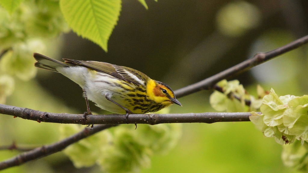
- Cape May WarblerDendroica tigrina
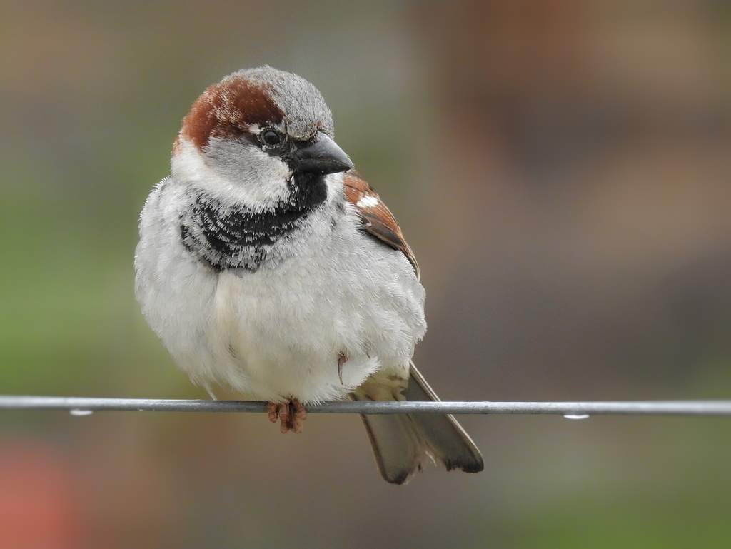
- House SparrowPasser domesticus
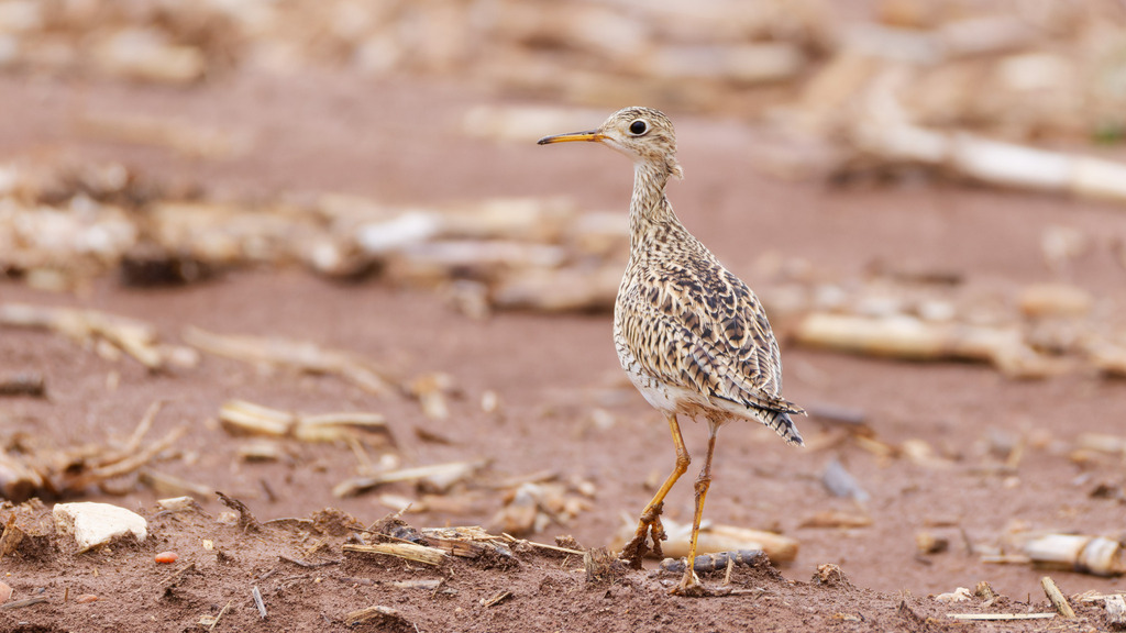
- Upland SandpiperBartramia longicauda
- Rock PigeonColumba livia
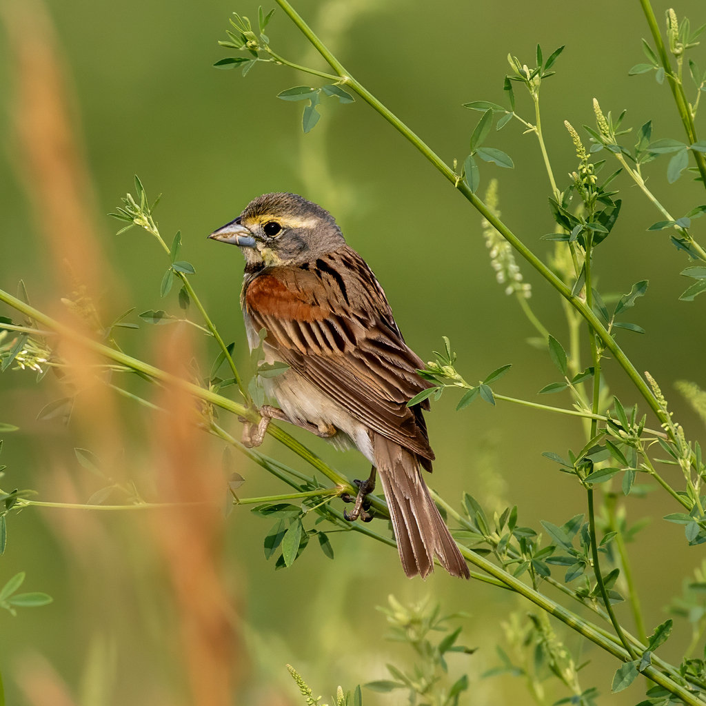
- DickcisselSpiza americana
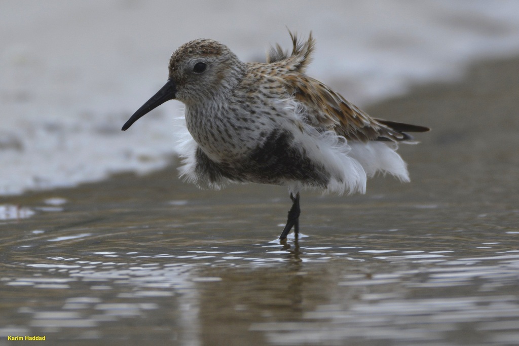
- DunlinCalidris alpina
- Grasshopper SparrowAmmodramus savannarum
- Hoary RedpollCarduelis hornemanni
- Lapland LongspurCalcarius lapponicus
- MerlinFalco columbarius
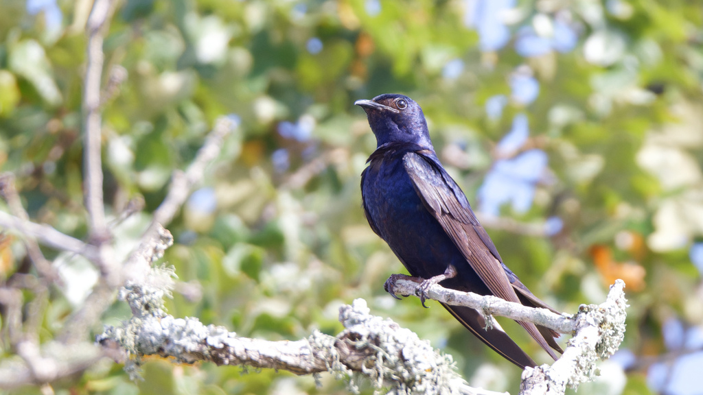
- Purple MartinProgne subis
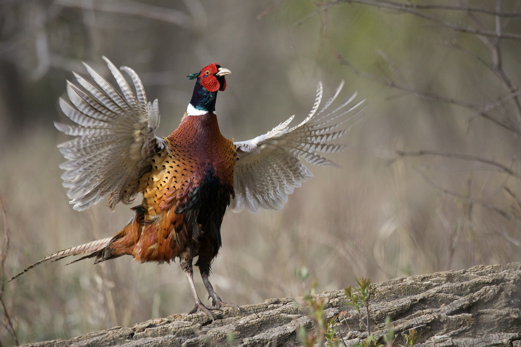
- Ring-necked PheasantPhasianus colchicus

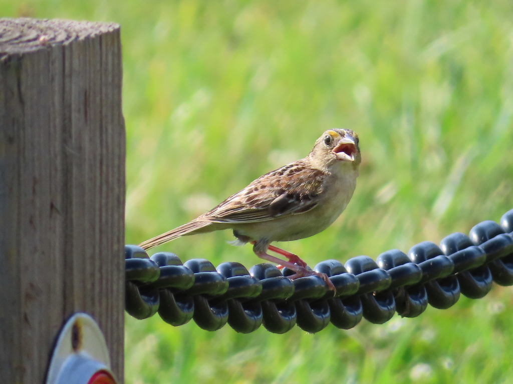
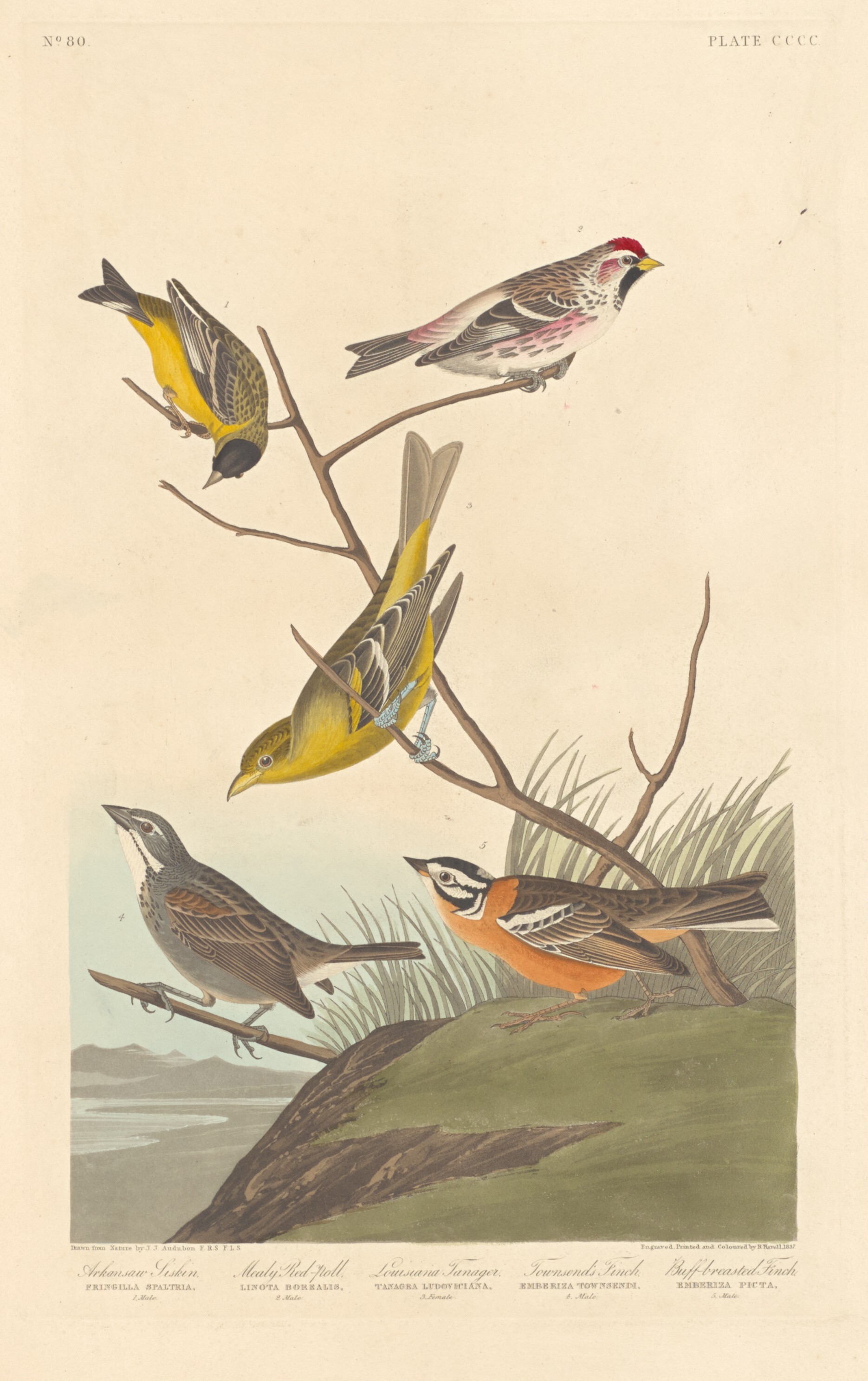
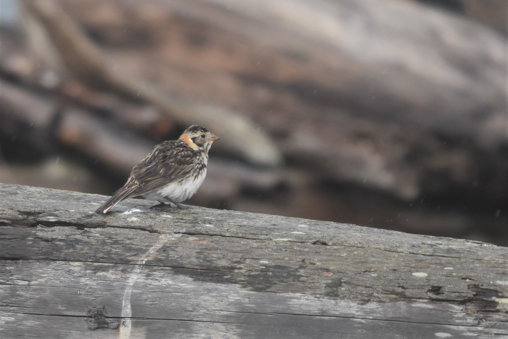
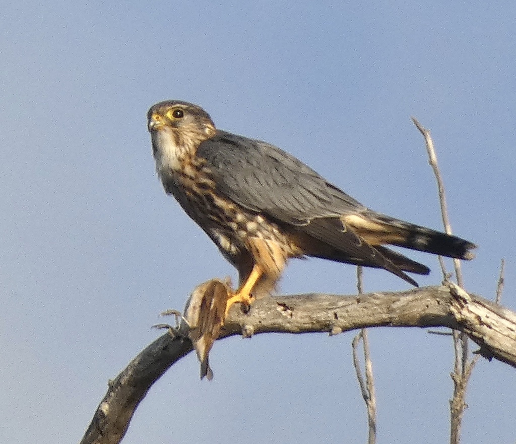
Plants 905
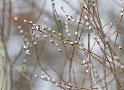
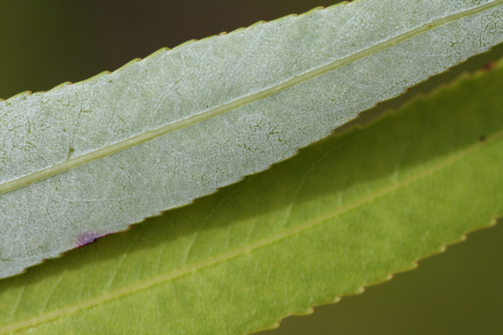
- Pussy WillowSalix discolor
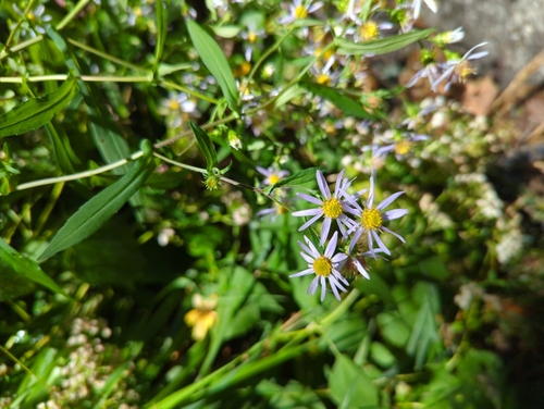
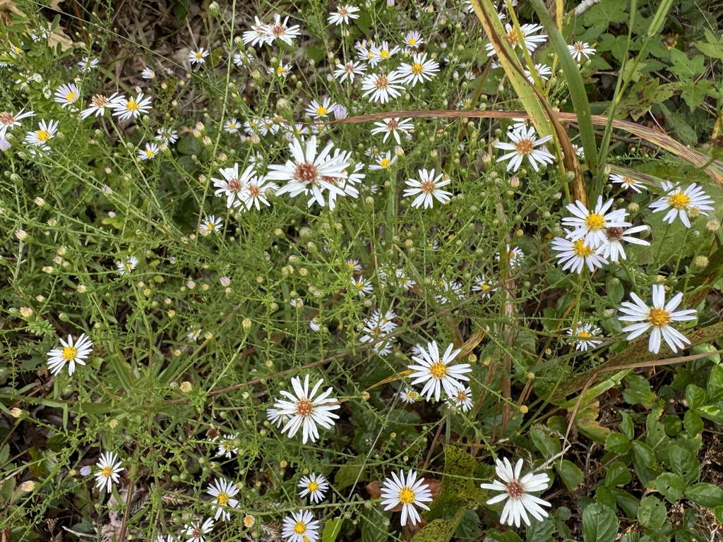
- Crooked-stem AsterSymphyotrichum prenanthoides
- Long Stalk AsterSymphyotrichum dumosum var. dumosum
- Canada LettuceLactuca canadensis
- Annual FleabaneErigeron annuus
- Bushy KnotweedPolygonum ramosissimum subsp. prolificum
- Carey's KnotweedPersicaria careyi
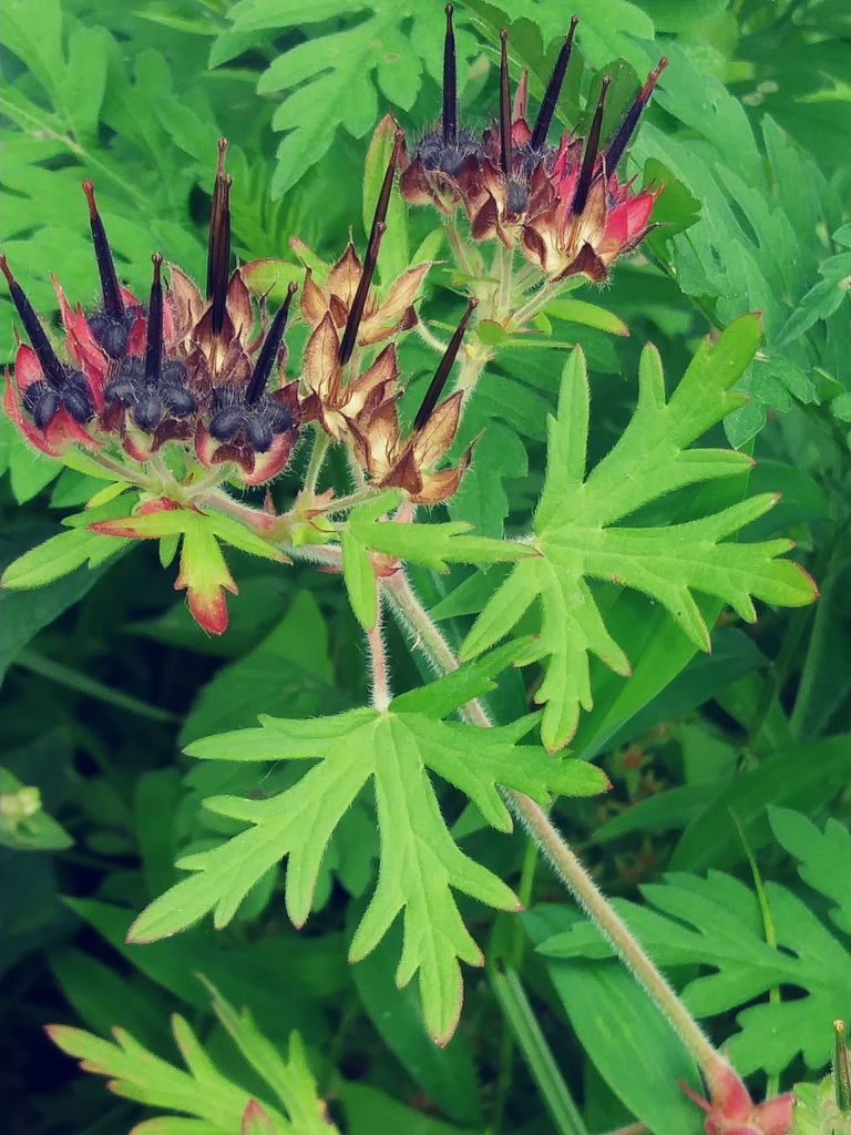
- Carolina Crane's-billGeranium carolinianum
- Common Evening-primroseOenothera biennis
- Cutleaf Evening-primroseOenothera laciniata
- Northern Evening-primroseOenothera parviflora
- Oakes Evening PrimroseOenothera oakesiana
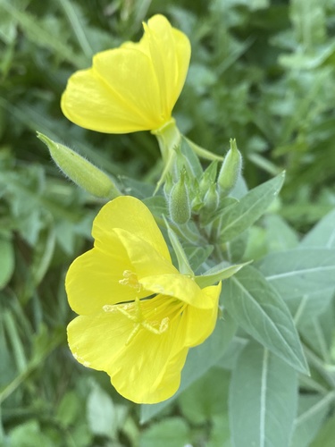
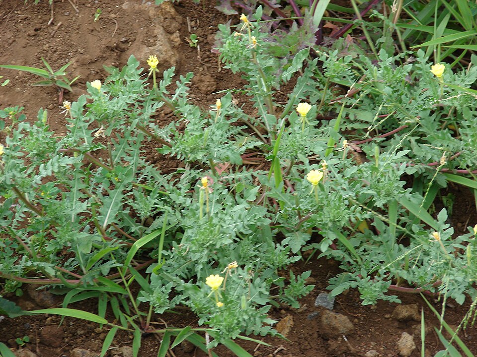
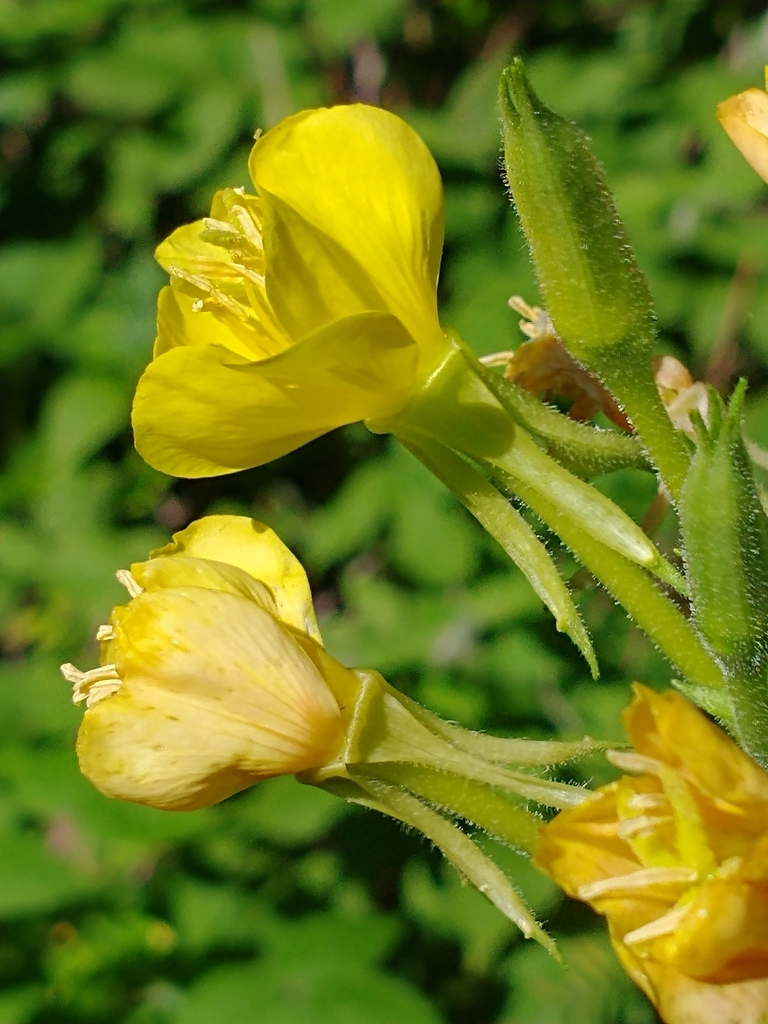
All of roadsides, fields and disturbed ground in West Virginia
Floodplain and bottomland forests
Birds 103
- Blue-winged TealAnas discors
- CanvasbackAythya valisineria
- GadwallAnas strepera
- Least BitternIxobrychus exilis
- Marsh WrenCistothorus palustris
- Ruddy DuckOxyura jamaicensis
- Snowy EgretEgretta thula
- American PipitAnthus rubescens
- SoraPorzana carolina
- Lincoln's SparrowMelospiza lincolnii
- Snowy OwlBubo scandiacus
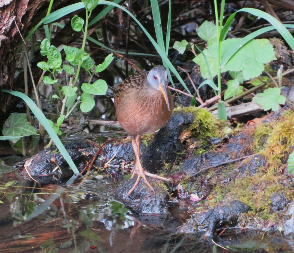
- Virginia RailRallus limicola

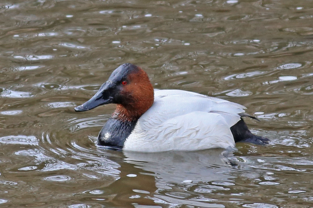
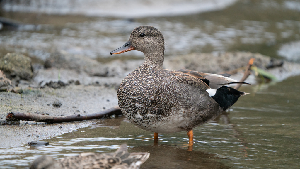
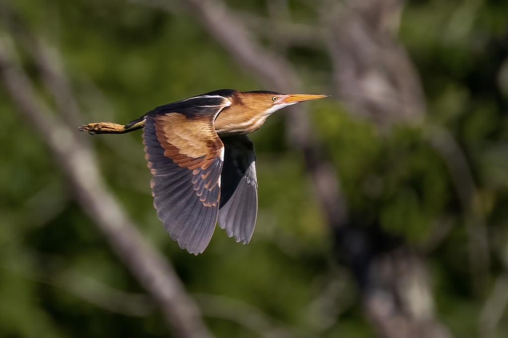
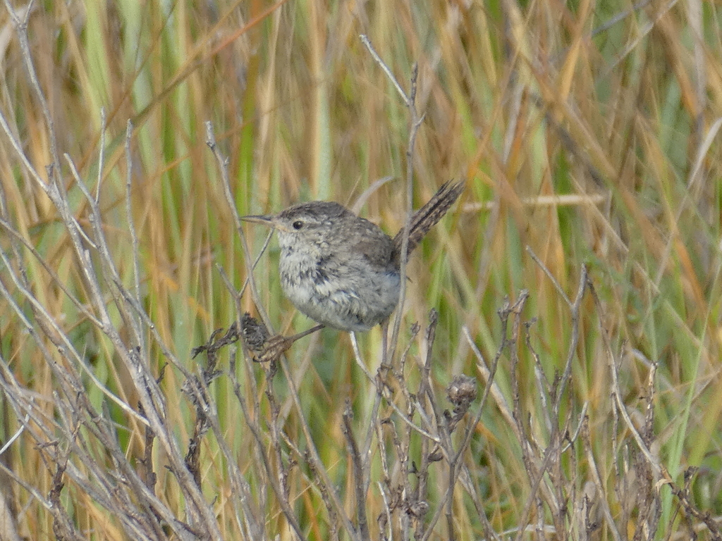
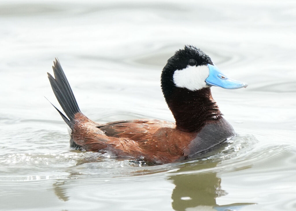
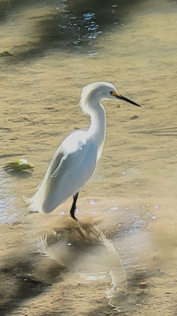
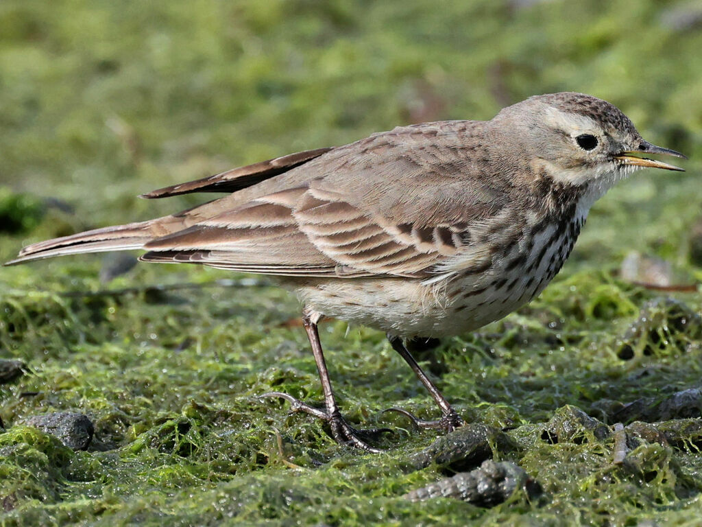
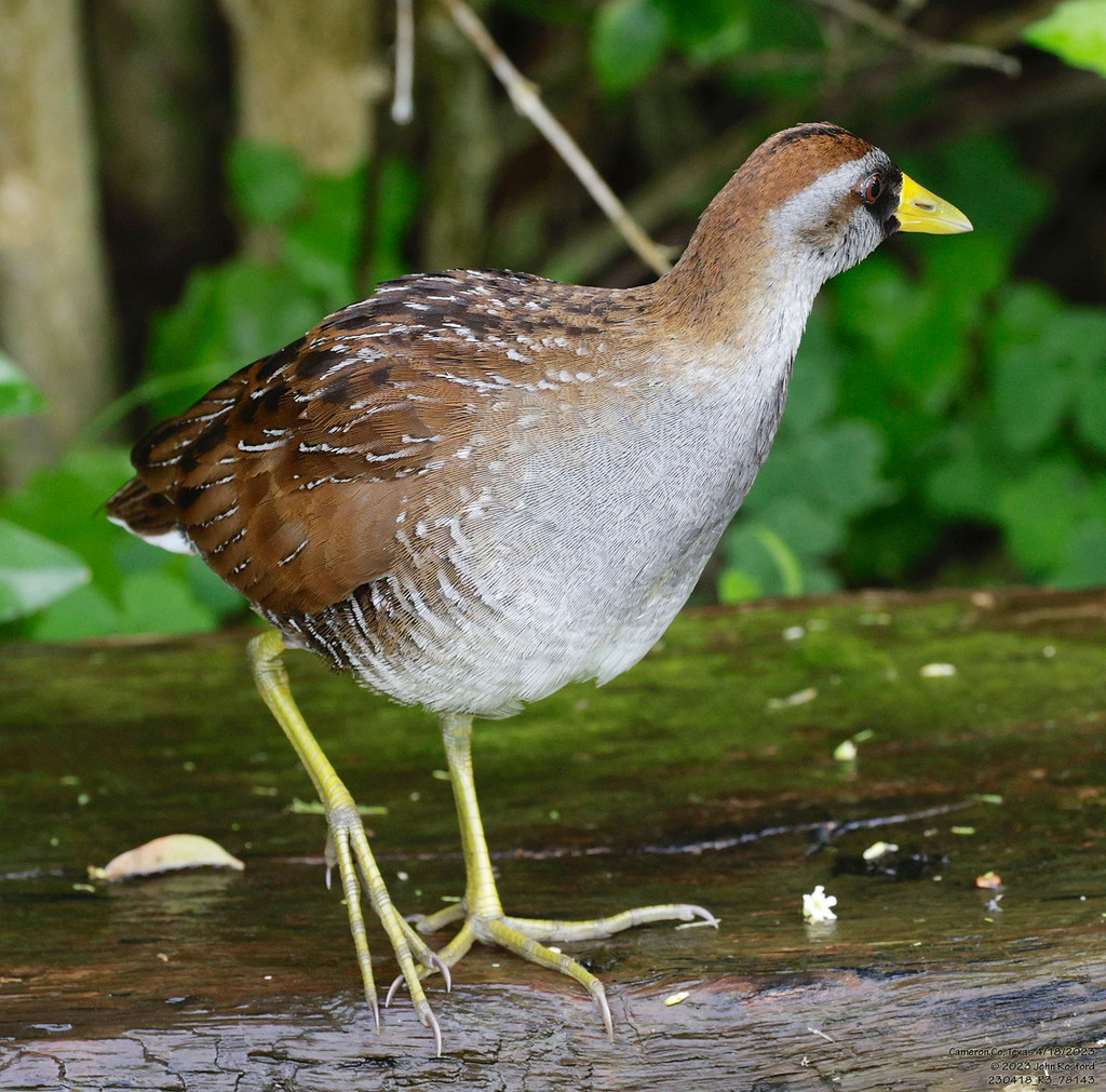
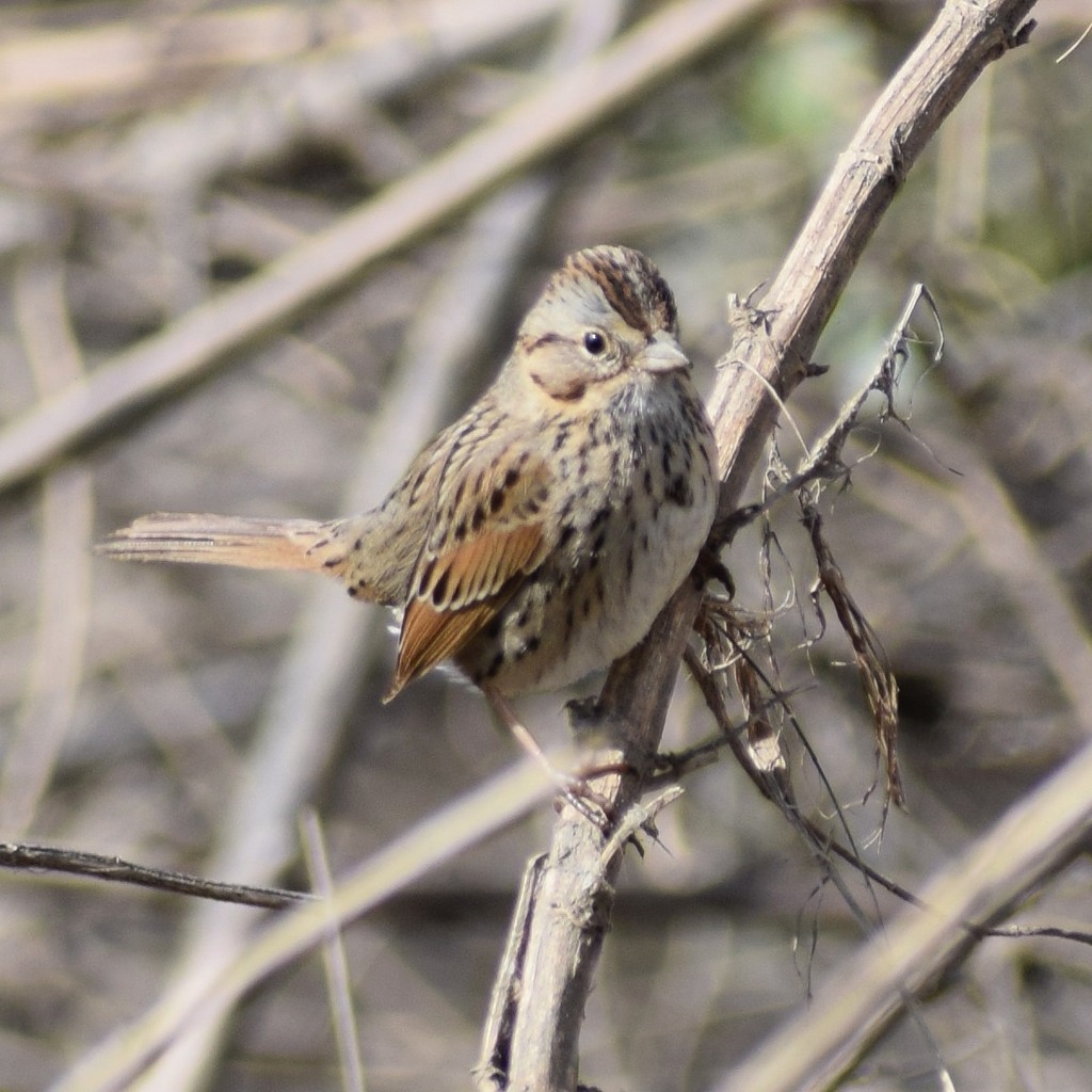

Plants 303
- Peach Leaf WillowSalix amygdaloides
- White Panicled Aster; Eastern Lined AsterSymphyotrichum lanceolatum var. latifolium
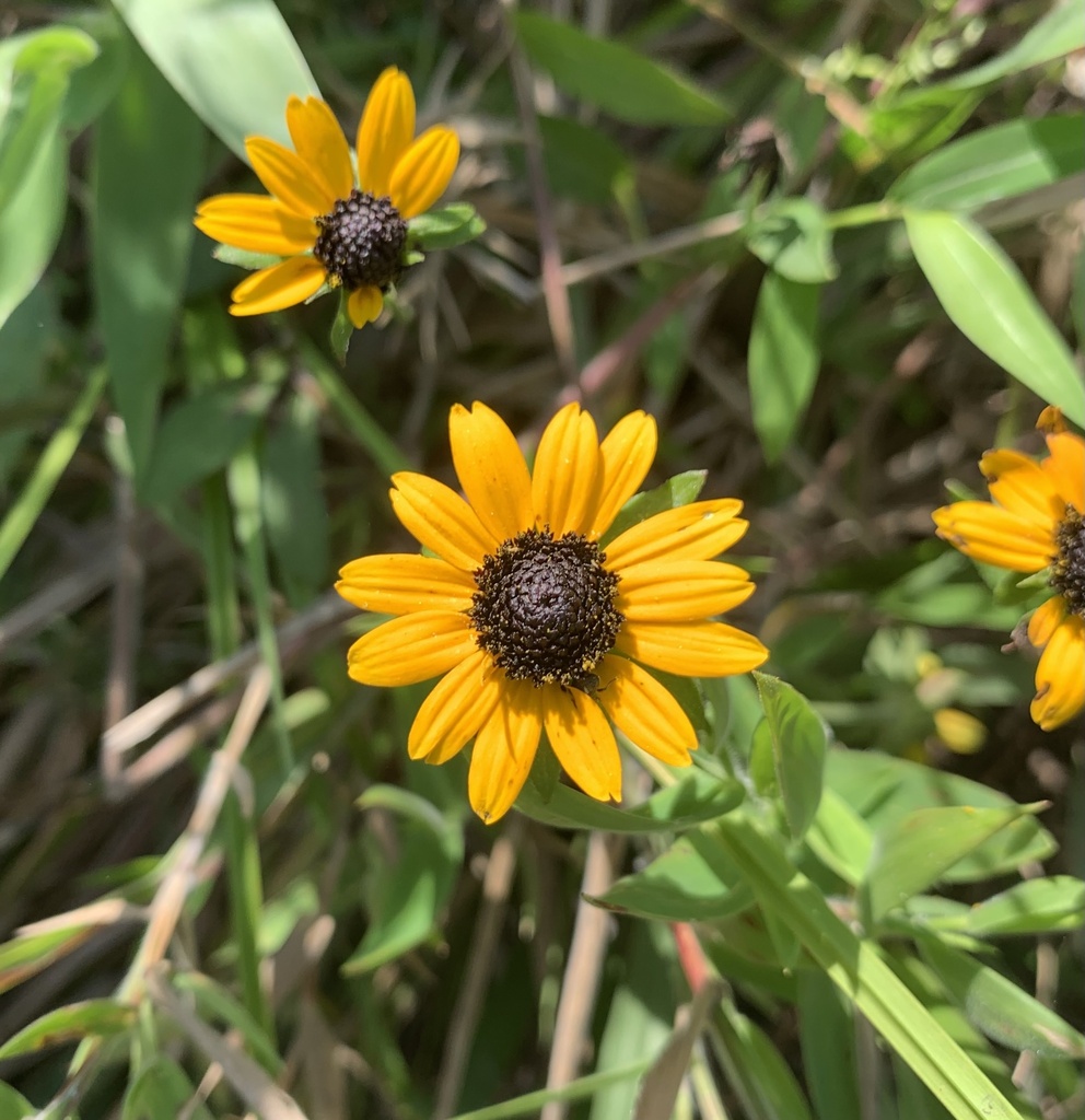
- Rudbeckia fulgida var. spathulataRudbeckia fulgida var. spathulata
- Shagbark HickoryCarya ovata
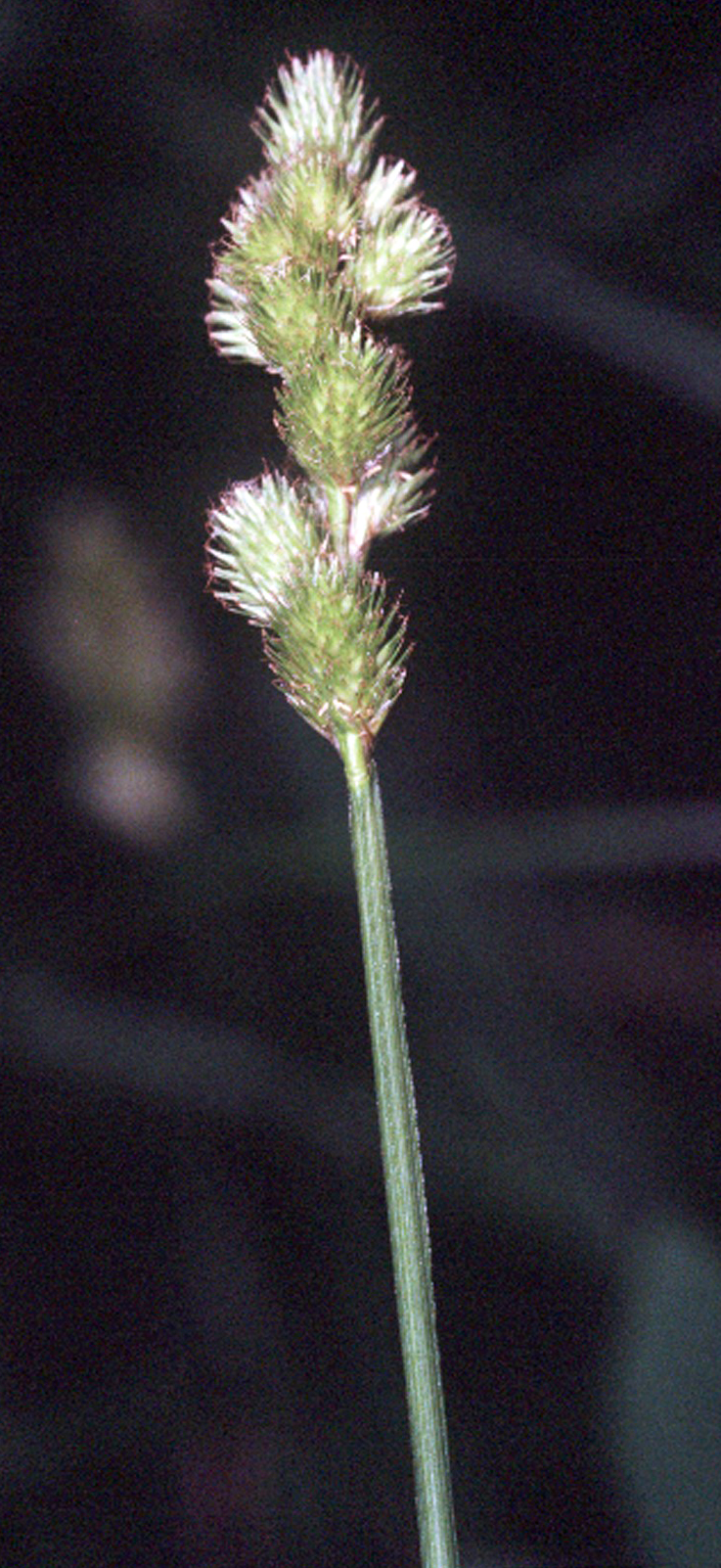
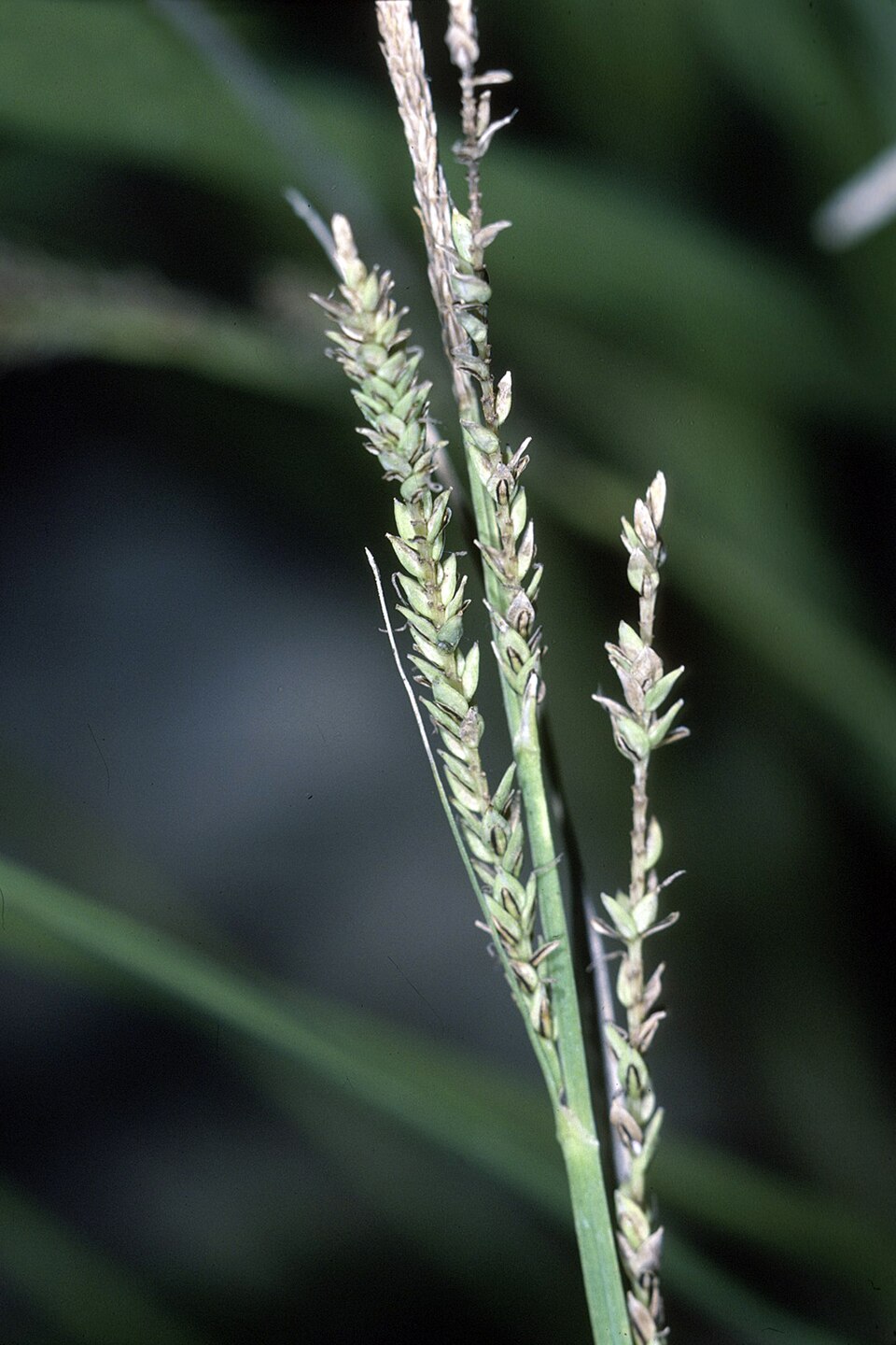
- Spreading SedgeCarex laxiculmis
- Blunt Broom SedgeCarex tribuloides
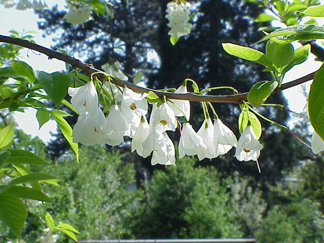
- Mountain SilverbellHalesia carolina
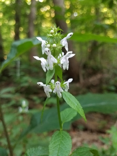
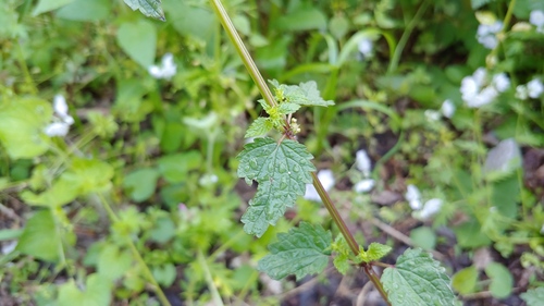
- Smooth Hedge-nettleStachys tenuifolia
- Common Cup-plantSilphium perfoliatum
- Camphor PlucheaPluchea camphorata
- Virginia Cup-plantSilphium perfoliatum var. connatum
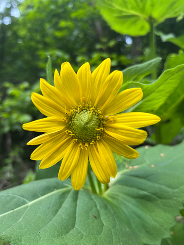
- Heartleaf NettleUrtica chamaedryoides
Streams, rivers and their banks
Birds 99
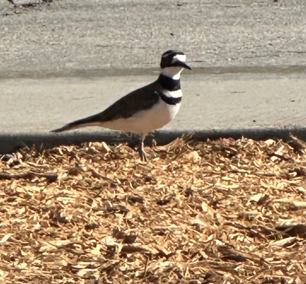
- KilldeerCharadrius vociferus
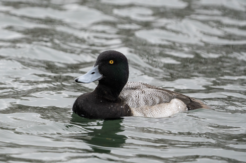
- Lesser ScaupAythya affinis
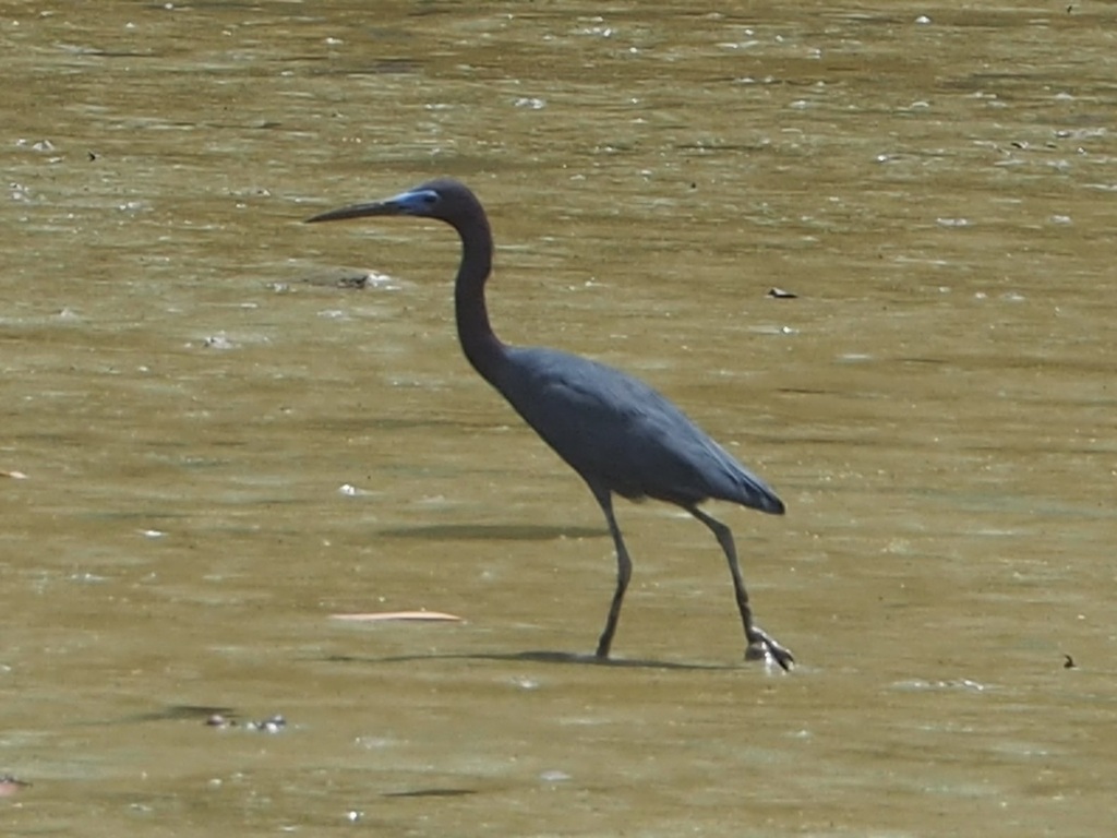
- Little Blue HeronEgretta caerulea
- Marsh WrenCistothorus palustris
- SoraPorzana carolina
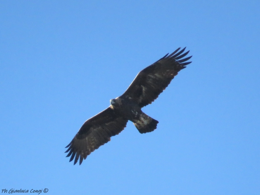
- Golden EagleAquila chrysaetos
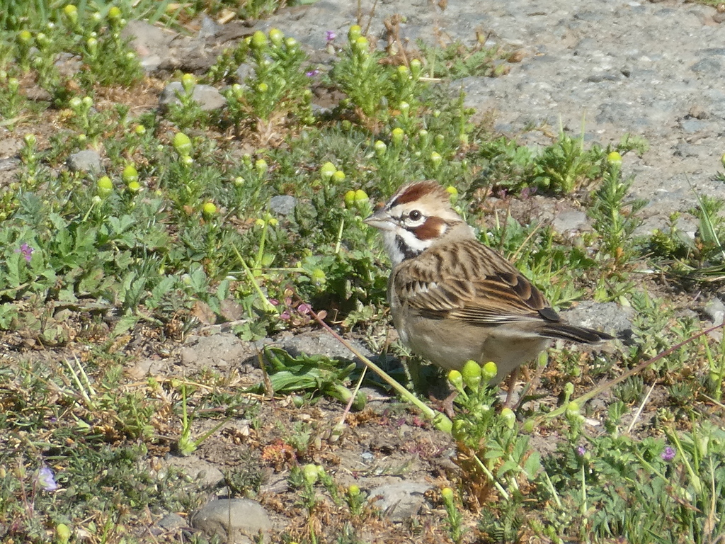
- Lark SparrowChondestes grammacus
- Lincoln's SparrowMelospiza lincolnii
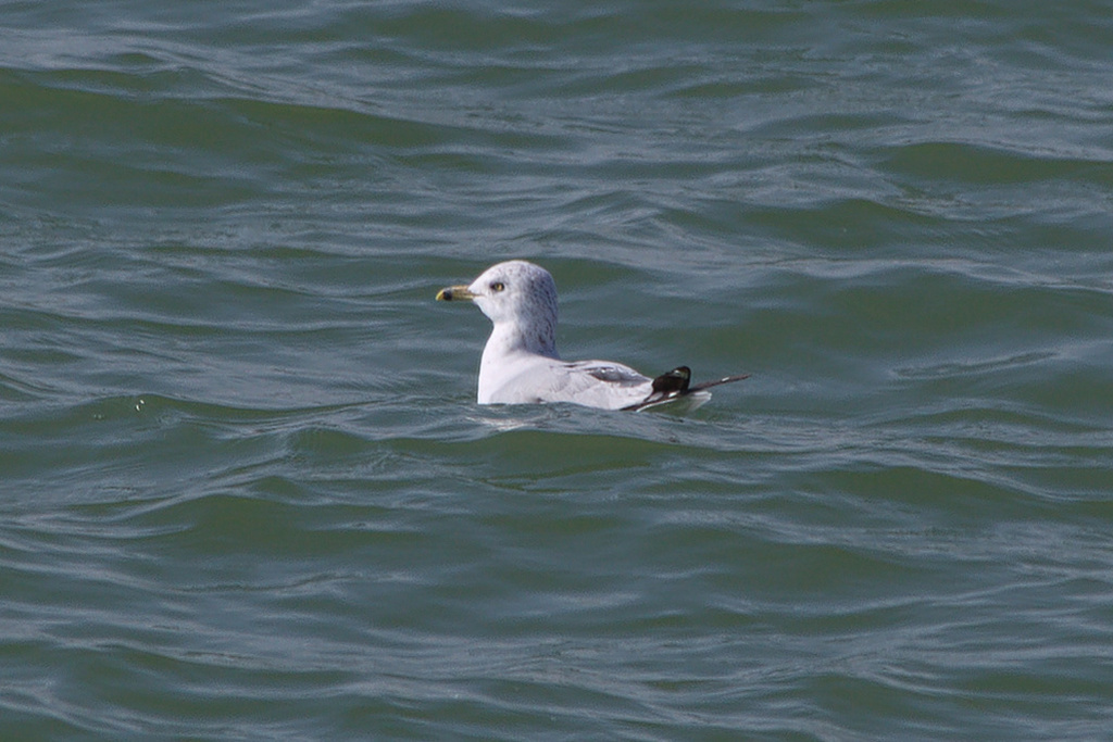
- Ring-billed GullLarus delawarensis
- Virginia RailRallus limicola
- Willow FlycatcherEmpidonax traillii
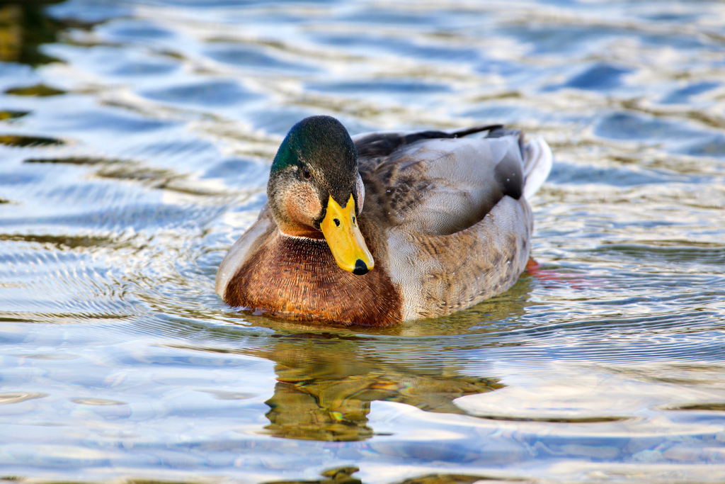
- MallardAnas platyrhynchos
Plants 232
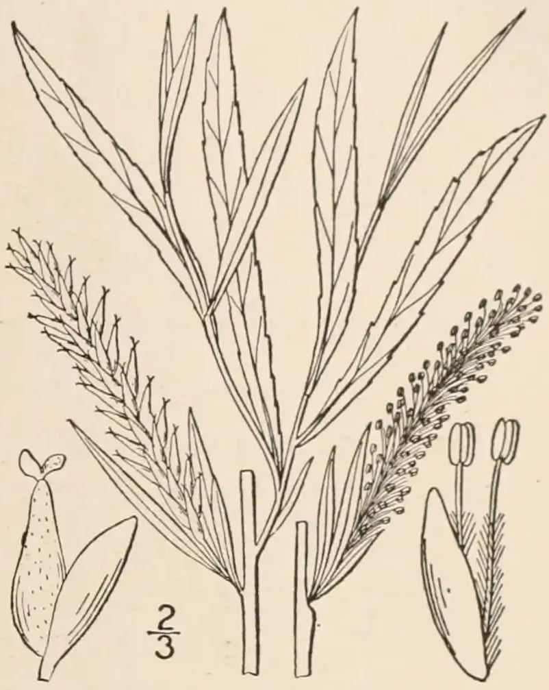
- Sandbar WillowSalix interior
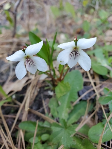
- Primrose-leaf VioletViola primulifolia
- Sand GrapeVitis rupestris
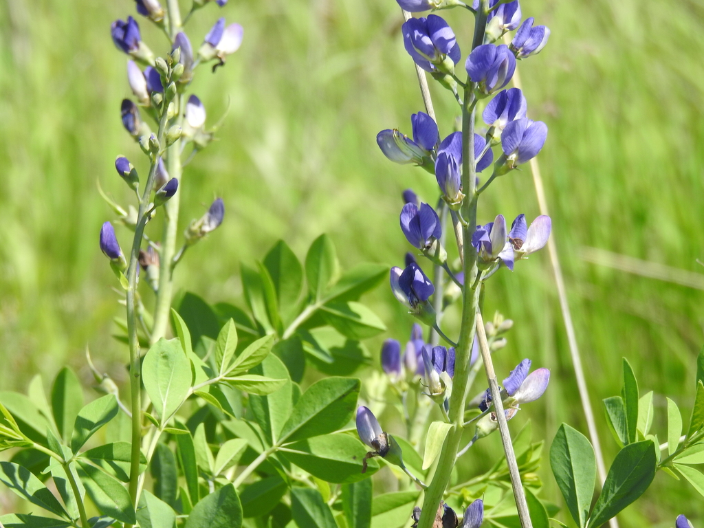
- Tall Blue Wild IndigoBaptisia australis
- Twisted SedgeCarex torta
- Earlyleaf BromeBromus latiglumis
- Greenfruit Bur-reedSparganium emersum var. acaule
- Ferris Scouring RushEquisetum × ferrissii
- Ozark Tassel-rueTrautvetteria applanata
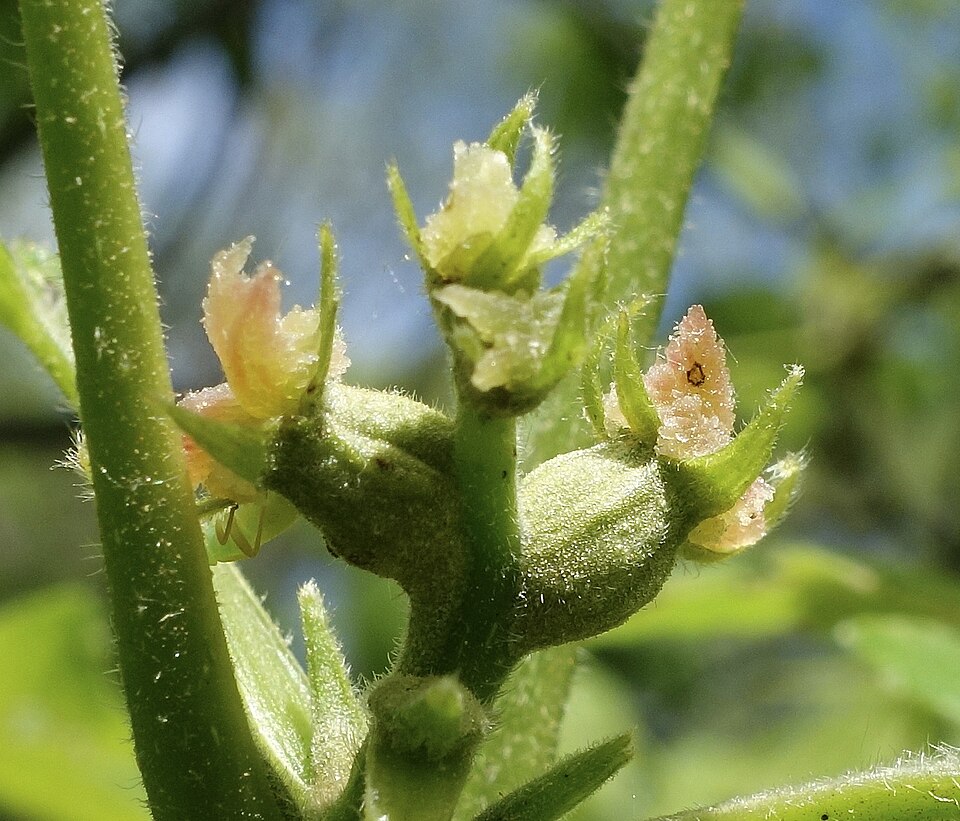
- Virginia Sida; Virginia Mallow; Virginia FanpetalsRipariosida hermaphrodita
- Coastal Plain WillowSalix caroliniana
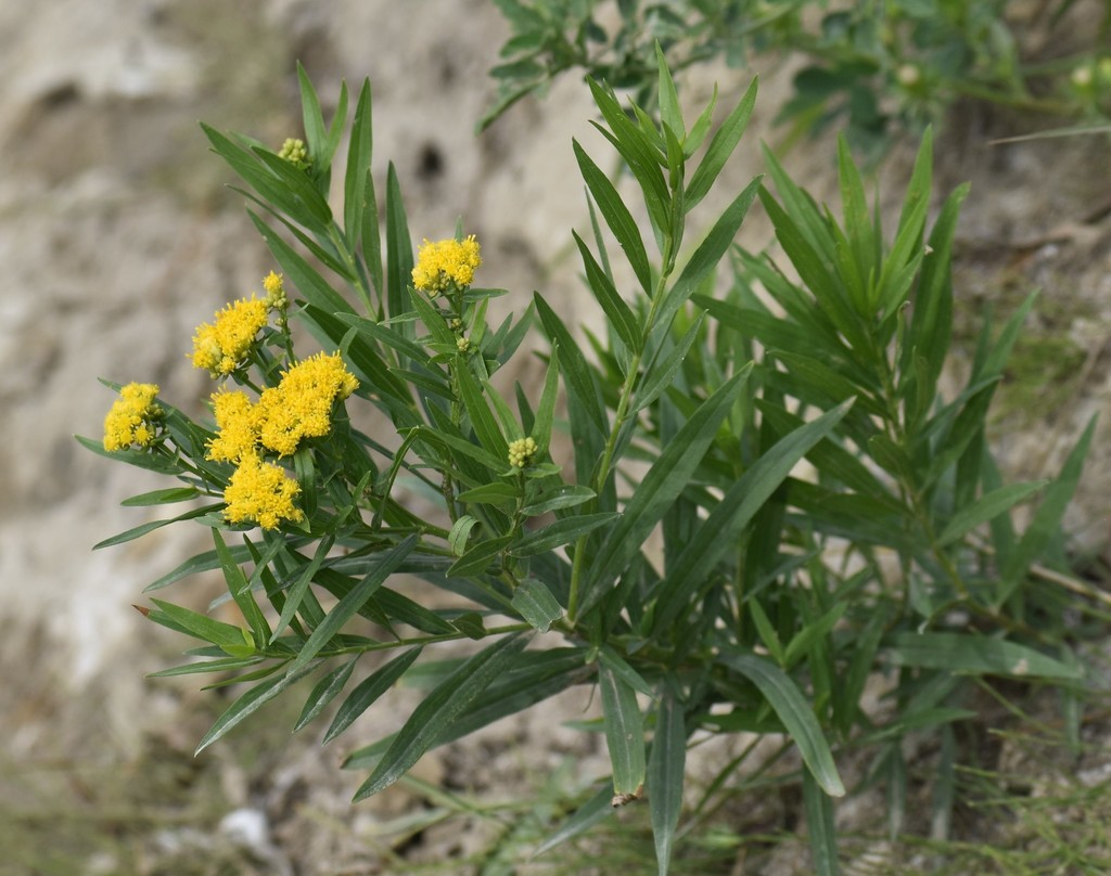
- Grass-leaved Flat-top GoldenrodEuthamia graminifolia


Sources
- USGS Gap Analysis Project habitat models (2001)
- USGS GAP summer habitat model for Cliff Swallow Fresh water only
- USGS Gap Analysis Project range maps (2001), modeled by watershed; migratory gives no dates
- NatureServe Explorer (CC BY 4.0), habitat names
- US Census TIGER/Line counties
- Names follow the USGS Gap Analysis Project (2001)