

Bird
Razorbill
Alca torda
A winter visitor to North Carolina, found in 8 of 100 counties and 1 habitat.
- Here
- Winter
- Nesting
- Not known to nest here
- Range
- 8 of 100 counties
- Habitats
- 1
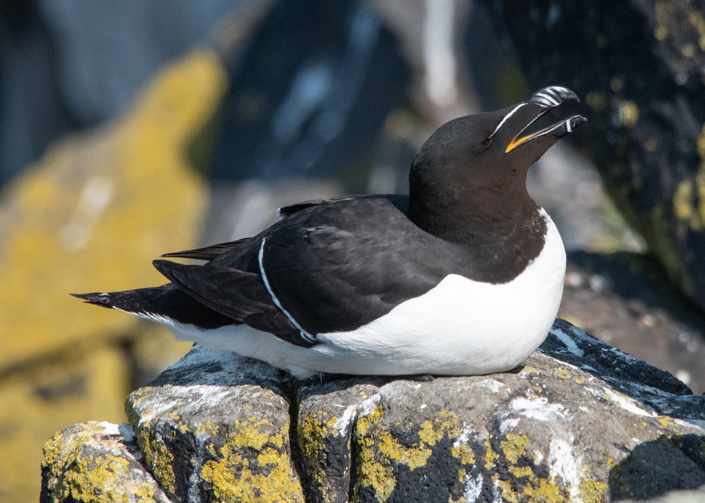
At a glance
- Group
- Birds
- Here
- Winter
- Nesting
- Not known to nest here
- Range
- 8 of 100 counties
- Habitats
- 1
- Habitat models
- Winter
Where it lives
The places its habitat model includes. It is not found everywhere a habitat occurs.
Habitats in North Carolina 1
Each habitat page lists the plants and wildlife also found there.
Salt and brackish open water of sounds, bays and estuaries, with the mud and sand flats and seagrass beds that tides cover and uncover; the vegetated marsh is salt and brackish marshes.
Seasons in North Carolina
- Winter: does not nest here, in 8 of 100 counties.
Also found in its main habitats
Its main habitats in North Carolina, by how much of its habitat model each one is, with the birds most characteristic of each and the plants that grow wild there. Shared habitat, not food.
Sounds, bays and tidal flats
Birds 78
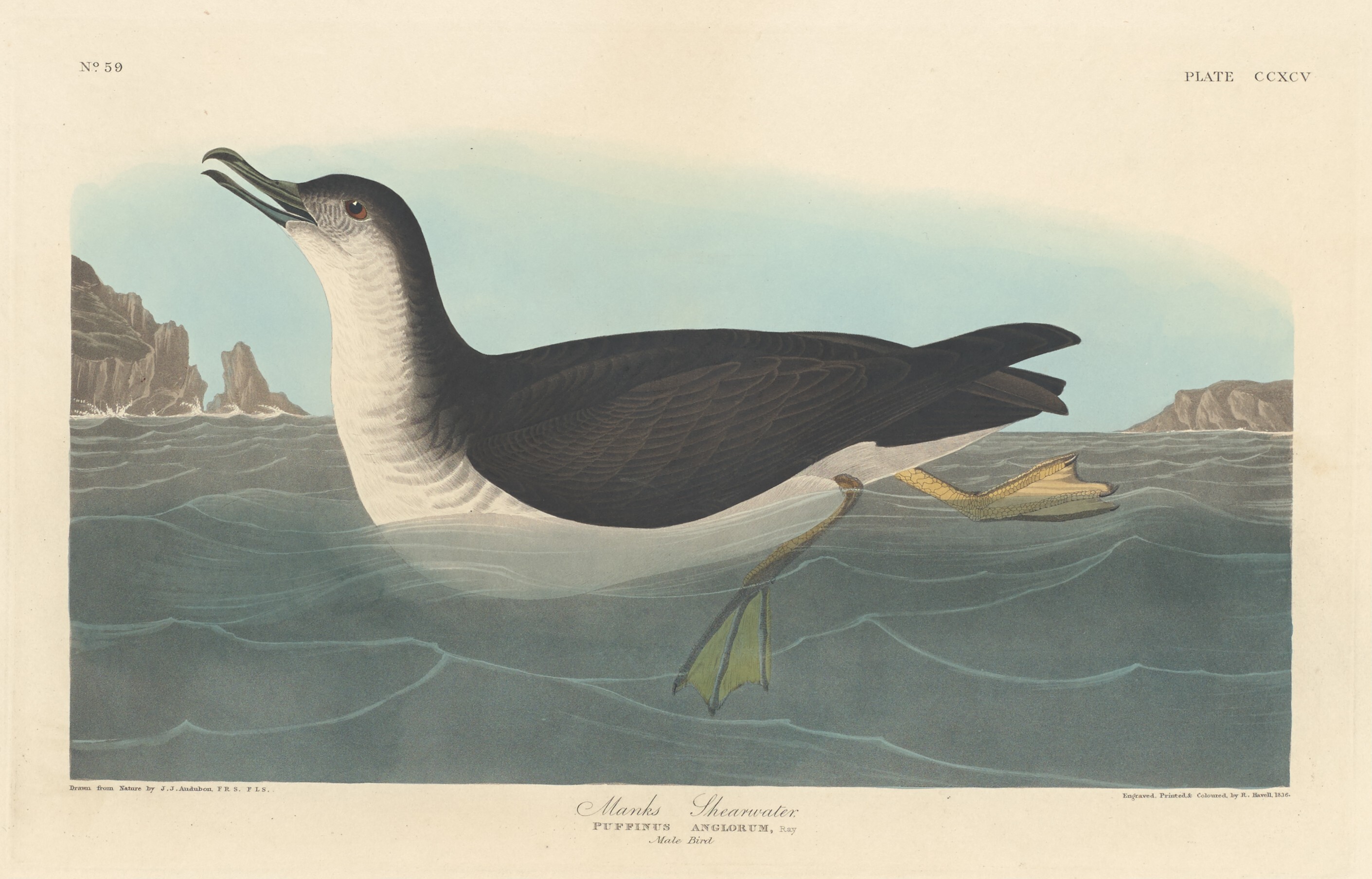
- Manx ShearwaterPuffinus puffinus
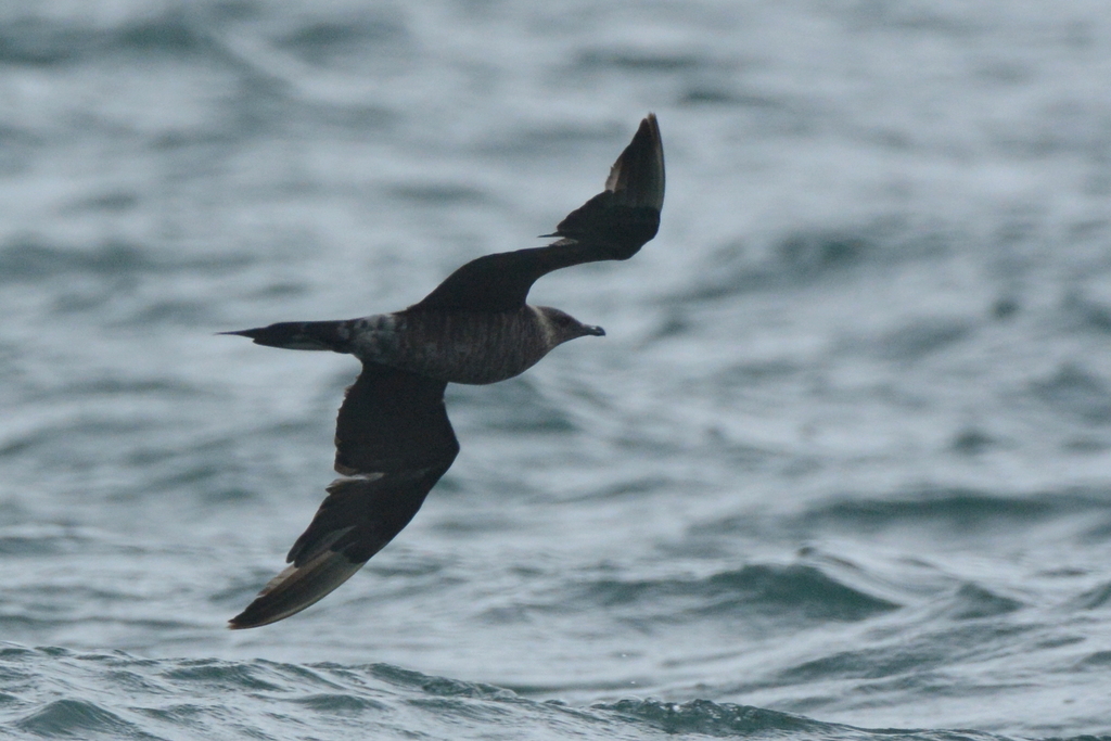
- Parasitic JaegerStercorarius parasiticus
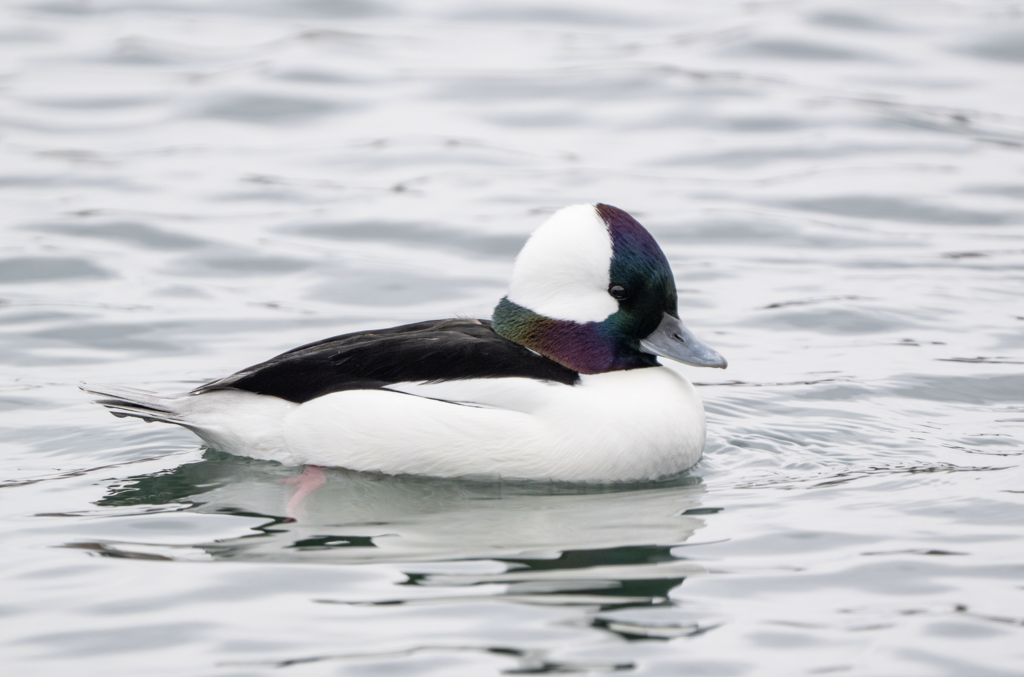
- BuffleheadBucephala albeola
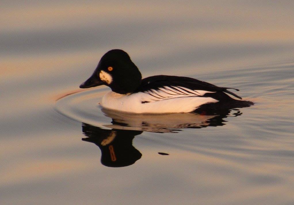
- Common GoldeneyeBucephala clangula
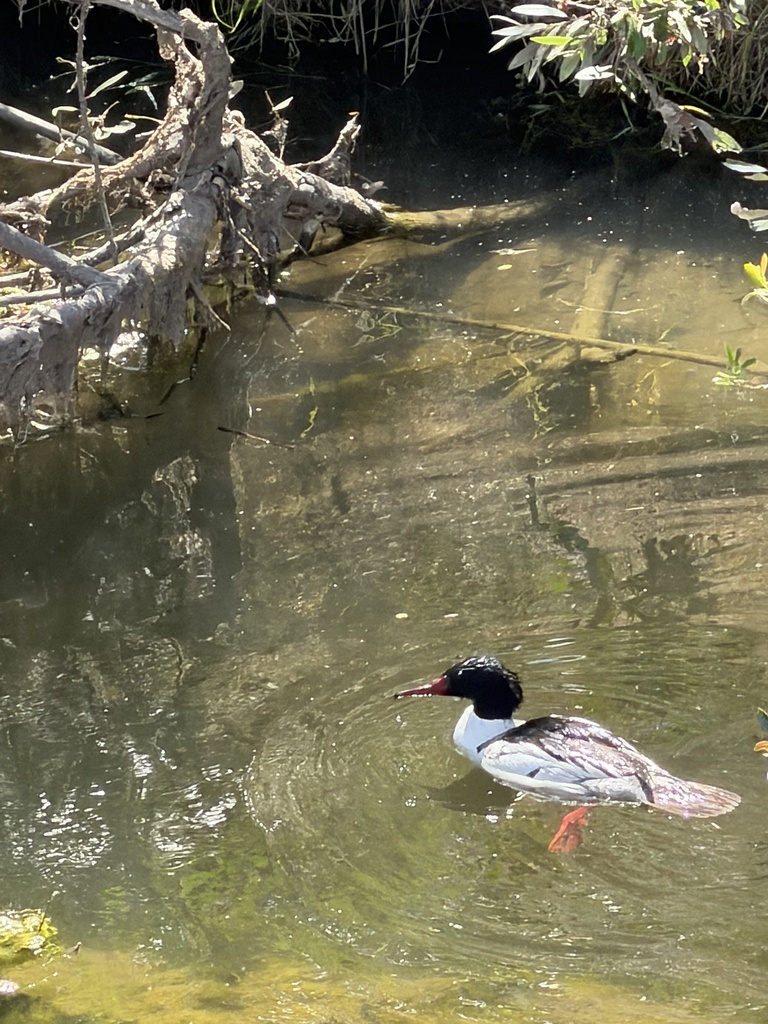
- Common MerganserMergus merganser
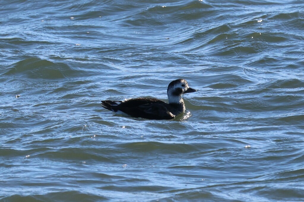
- Long-tailed DuckClangula hyemalis
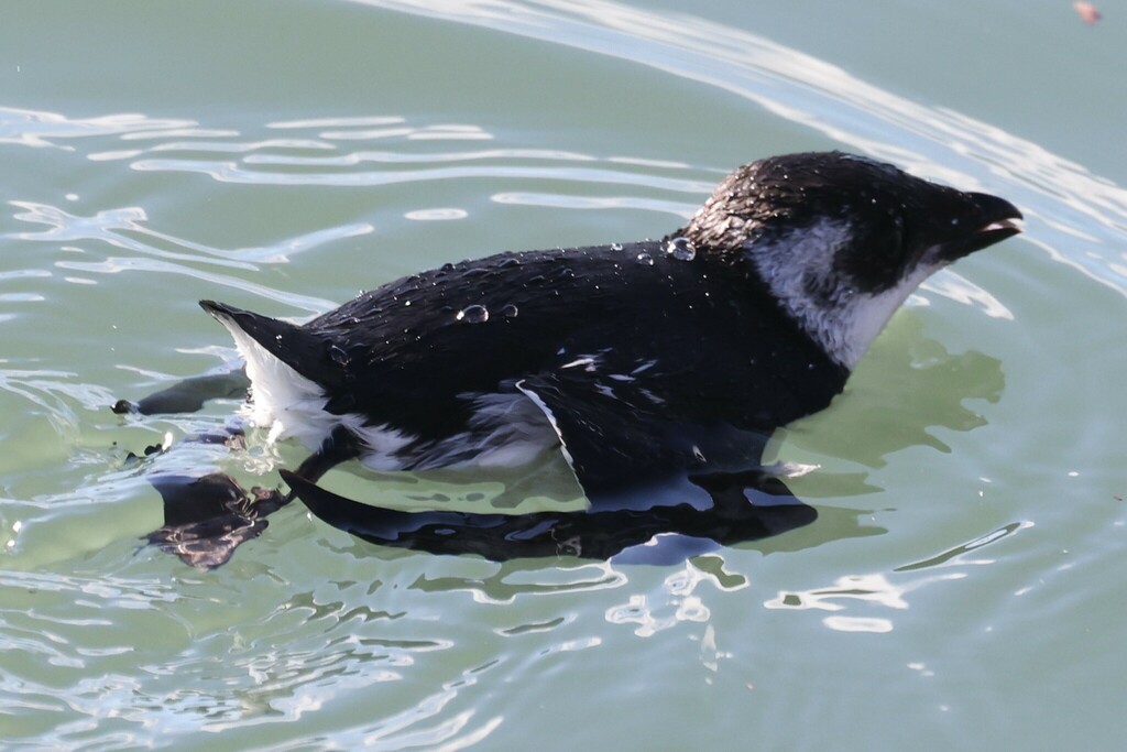
- DovekieAlle alle
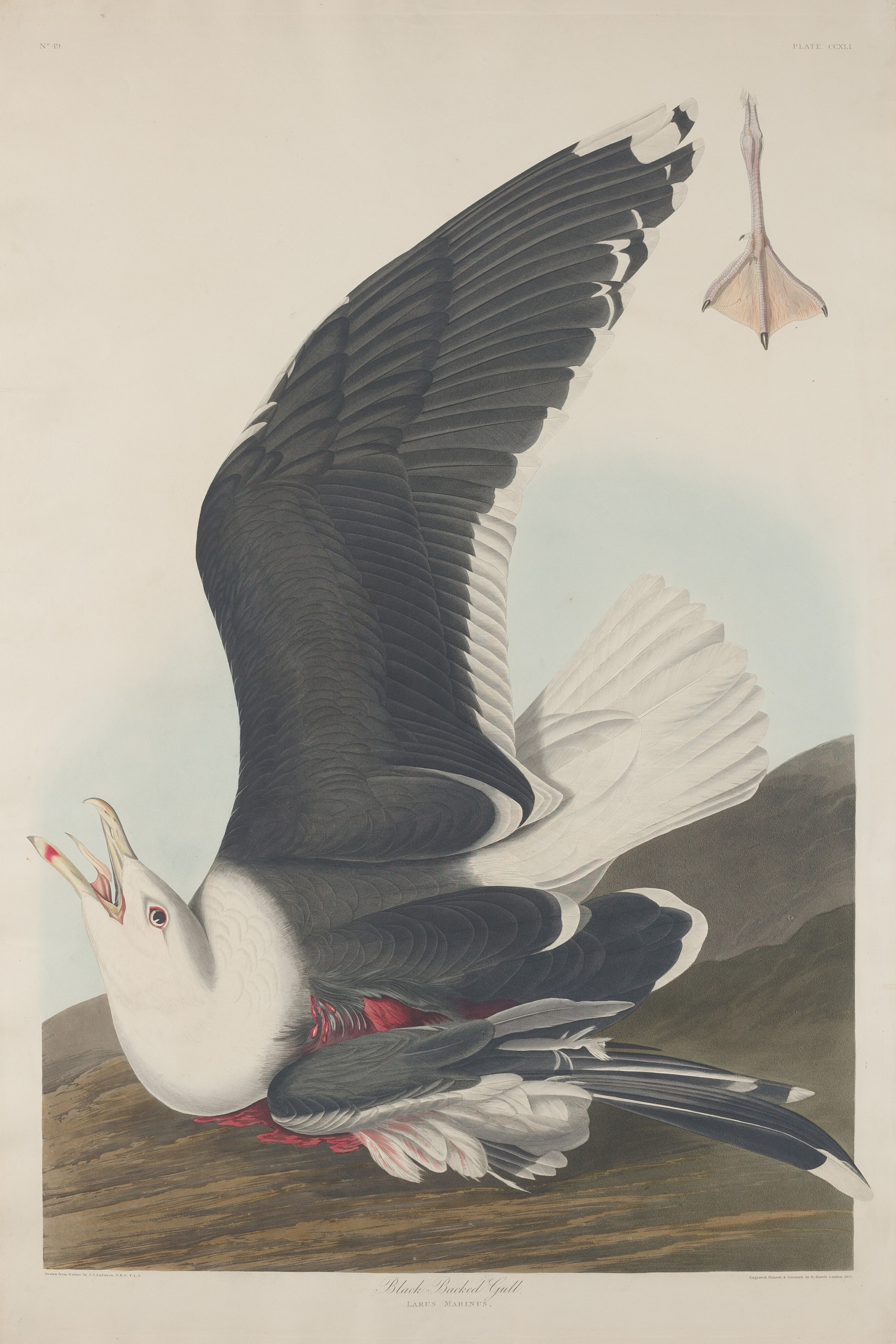
- Great Black-backed GullLarus marinus
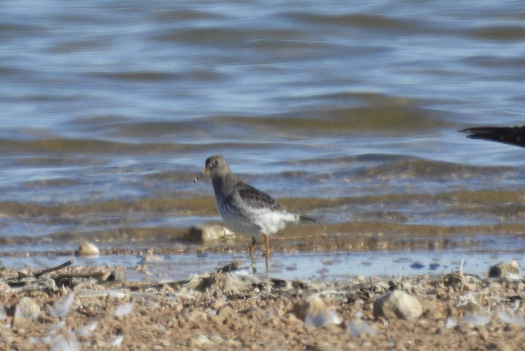
- Purple SandpiperCalidris maritima
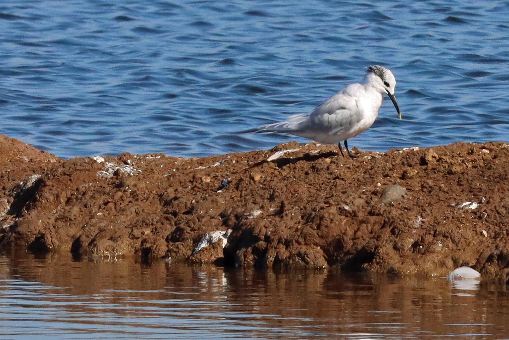
- Sandwich TernThalasseus sandvicensis
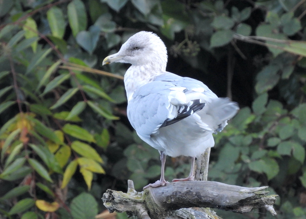
- Thayer's GullLarus thayeri
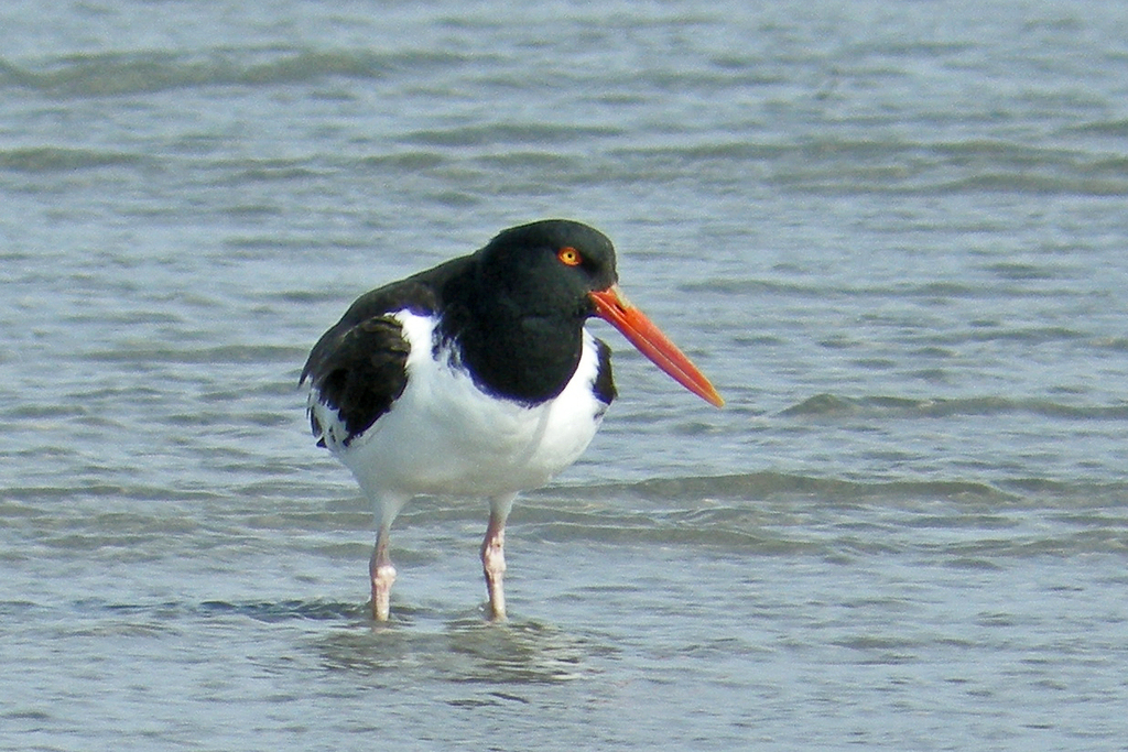
- American OystercatcherHaematopus palliatus
Plants 11
- Shoal-grassHalodule wrightii
- Welsh MudwortLimosella australis
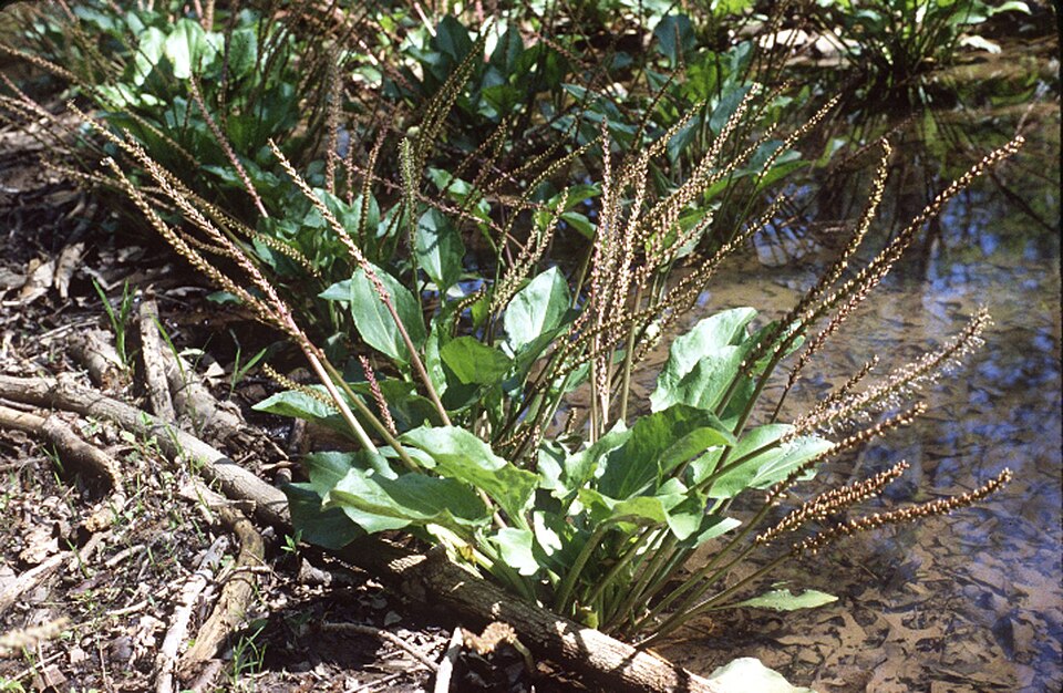
- Heartleaf PlantainPlantago cordata
- Sago PondweedStuckenia pectinata
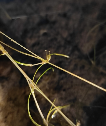
- Horned PondweedZannichellia palustris
- Seashore DropseedSporobolus virginicus
- American EelgrassVallisneria americana
- Widgeon-grassRuppia maritima
- Carolina GrasswortLilaeopsis carolinensis
- American WaterwortElatine americana
- Small WaterwortElatine minima
Sources
- USGS Gap Analysis Project habitat models (2001)
- USGS GAP winter habitat model for Razorbill Brackish or salt water only
- USGS Gap Analysis Project range maps (2001), modeled by watershed; migratory gives no dates
- NatureServe Explorer (CC BY 4.0), habitat names
- US Census TIGER/Line counties
- Names follow the USGS Gap Analysis Project (2001)