

Bird
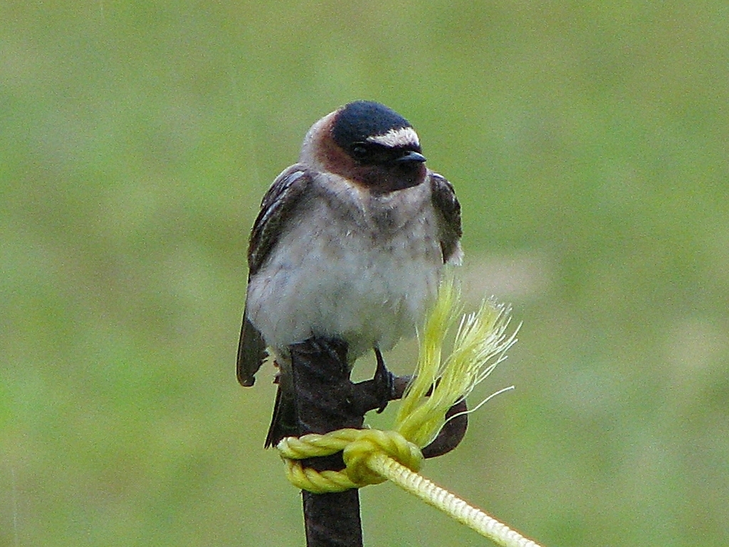
Cliff Swallow
Petrochelidon pyrrhonota
A summer resident that nests in Arkansas. Found in all 75 counties, across 14 habitats.
- Here
- Summer and on migration
- Nesting
- Nests here
- Range
- All 75 counties
- Habitats
- 14
At a glance
- Group
- Birds
- Here
- Summer and on migration
- Nesting
- Nests here
- Range
- All 75 counties
- Habitats
- 14
- Habitat models
- Summer
Where it lives
The places its habitat model includes. It is not found everywhere a habitat occurs.
Habitats in Arkansas 14
Each habitat page lists the plants and wildlife also found there.
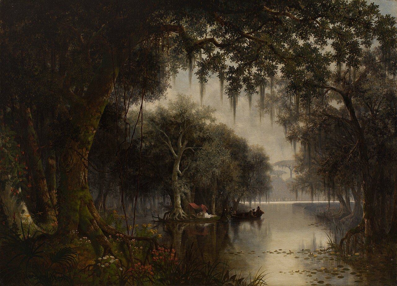
Disturbed and introduced wetlands
Wet ground taken over by weedy or introduced plants after disturbance, such as common reed, Chinese tallow or tamarisk stands; the upland counterpart is roadsides, fields and disturbed ground.
Floodplain and bottomland forests
Forests on low ground beside rivers and streams that flood from time to time.
Open, herb-covered wetlands with fresh, non-tidal water.
Flat, poorly drained uplands and terraces with oaks, sweetgum and sometimes loblolly pine, wet in winter and dry in summer, but neither a floodplain nor a swamp.
Still water and its edges: ponds, lakes, millponds and reservoirs.
Places where groundwater keeps the soil or rock wet, such as seepage slopes and spring runs.
Streams, rivers and their banks
Flowing water and its banks, bars and rocky shoals.
Open, wet, grassy or sedgy ground that is not a bog.
Borders of forests, clearings and shrubby thickets.
Glades, barrens and outcrops on limestone
Open, thin-soil openings and rock on limestone, dolomite or other lime-rich rock, including cedar glades.
Granite and other acidic rock outcrops
Bare or thin-soil rock on granite, gneiss, sandstone, quartzite and similar acidic rock, including granite flatrocks and domes.
Open, grass-dominated places kept open by fire, grazing or thin soil, from tallgrass prairie to Piedmont prairies.
Roadsides, fields and disturbed ground
Ground opened by people: roadsides, old fields, pastures, fencerows and lots.
Other habitats in its models (59)
Land cover, or classes with no habitat page in Arkansas. Those recorded in Arkansas first, the rest by region.
In Arkansas 1
- West Gulf Coastal Plain Nepheline Syenite Glade Summer, only within 2,000 m of water.
Elsewhere in the South (24)
- Central and Upper Texas Coast Dune and Coastal Grassland Summer.
- Central Florida Herbaceous Pondshore Summer.
- Central Florida Herbaceous Seep Summer.
- Central Florida Pine Flatwoods Summer, only within 2,000 m of water.
- Cumberland Riverscour Summer.
- East-Central Texas Plains Post Oak Savanna and Woodland Summer, only within 2,000 m of water.
- East-Central Texas Plains Riparian Forest Summer.
- Edwards Plateau Limestone Savanna and Woodland Summer, only within 2,000 m of water.
- Nashville Basin Limestone Glade Summer, only within 2,000 m of water.
- South-Central Interior / Upper Coastal Plain Wet Flatwoods Summer.
- Southeastern Interior Longleaf Pine Woodland Summer, only within 2,000 m of water.
- Southern and Central Appalachian Bog and Fen Summer.
- Southern Appalachian Montane Cliff Summer, only within 2,000 m of water.
- Southern Appalachian Rocky Summit Summer, only within 2,000 m of water.
- Southern Blackland Tallgrass Prairie Summer, only within 2,000 m of water.
- Southern Interior Acid Cliff Summer, only within 2,000 m of water.
- Southern Piedmont Cliff Summer, only within 2,000 m of water.
- Southern Piedmont Glade and Barrens Summer, only within 2,000 m of water.
- Southern Piedmont Small Floodplain and Riparian Forest Summer.
- Texas Saline Coastal Prairie Summer.
- Texas-Louisiana Coastal Prairie Summer, only within 2,000 m of water.
- West Gulf Coastal Plain Catahoula Barrens Summer, only within 2,000 m of water.
- West Gulf Coastal Plain Near-Coast Large River Swamp Summer.
- West Gulf Coastal Plain Wet Longleaf Pine Savanna and Flatwoods Summer.
Northeast (5)
- North-Central Appalachian Acidic Cliff and Talus Summer, only within 2,000 m of water.
- North-Central Appalachian Circumneutral Cliff and Talus Summer, only within 2,000 m of water.
- North-Central Interior Wet Flatwoods Summer.
- Northeastern Interior Pine Barrens Summer, only within 2,000 m of water.
- Northern Atlantic Coastal Plain Basin Swamp and Wet Hardwood Forest Summer.
Midwest (6)
- Central Mixedgrass Prairie Summer, only within 2,000 m of water.
- Central Tallgrass Prairie Summer, only within 2,000 m of water.
- North-Central Interior Oak Savanna Summer, only within 2,000 m of water.
- North-Central Interior Sand and Gravel Tallgrass Prairie Summer, only within 2,000 m of water.
- North-Central Oak Barrens Summer, only within 2,000 m of water.
- Western Great Plains Wooded Draw and Ravine Summer, only within 2,000 m of water.
Land cover and other classes (23)
- Central Appalachian Riparian - Forest Modifier Summer.
- Developed, Low Intensity Summer, only within 2,000 m of water.
- Developed, Medium Intensity Summer, only within 2,000 m of water.
- Eastern Great Plains Floodplain Systems Summer.
- Eastern Great Plains Wet Meadow, Prairie, and Marsh Summer.
- Eastern Highland Rim Prairie and Barrens - Dry Modifier Summer, only within 2,000 m of water.
- Harvested Forest - Grass/Forb Regeneration Summer, only within 2,000 m of water.
- Introduced Upland Vegetation - Annual Grassland Summer, only within 2,000 m of water.
- Introduced Upland Vegetation - Forbland Summer, only within 2,000 m of water.
- Introduced Upland Vegetation - Perennial Grassland Summer, only within 2,000 m of water.
- Modified/Managed Southern Tall Grassland Summer, only within 2,000 m of water.
- Open Water (Aquaculture) Summer.
- Recently Burned Grassland Summer, only within 2,000 m of water.
- Recently Burned Shrubland Summer, only within 2,000 m of water.
- South-Central Interior Large Floodplain - Herbaceous Modifier Summer.
- Southern Piedmont Large Floodplain Forest - Forest Modifier Summer.
- Southern Piedmont/Ridge and Valley Upland Depression Swamp Summer.
- Tamaulipan Riparian Systems Summer.
- Texas-Louisiana Coastal Prairie Slough Summer.
- Unconsolidated Shore (Beach/Dune) Summer.
- Unconsolidated Shore (Lake/River/Pond) Summer.
- Western Great Plains Depressional Wetland Systems Summer.
- Western Great Plains Floodplain Systems Summer.
Seasons in Arkansas
- Migratory: does not nest here, in 49 of 75 counties.
- Summer: nests here, in 53 of 75 counties.
Also found in its main habitats
Its main habitats in Arkansas, by how much of its habitat model each one is, with the birds most characteristic of each and the plants that grow wild there. Shared habitat, not food.
Cliff Swallow uses many habitats in Arkansas; these are its 3 most characteristic.
Floodplain and bottomland forests
Birds 77
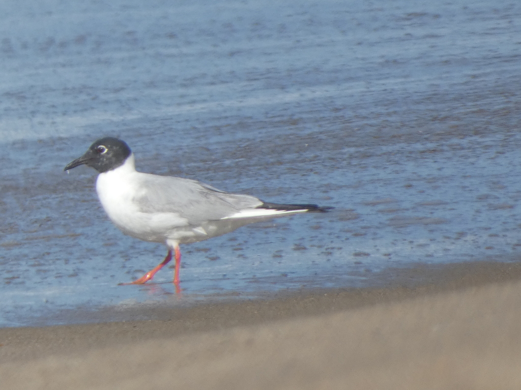
- Bonaparte's GullChroicocephalus philadelphia
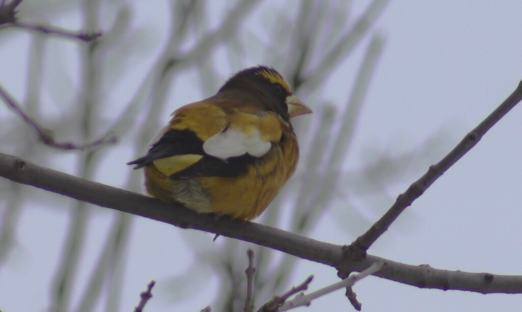
- Evening GrosbeakCoccothraustes vespertinus
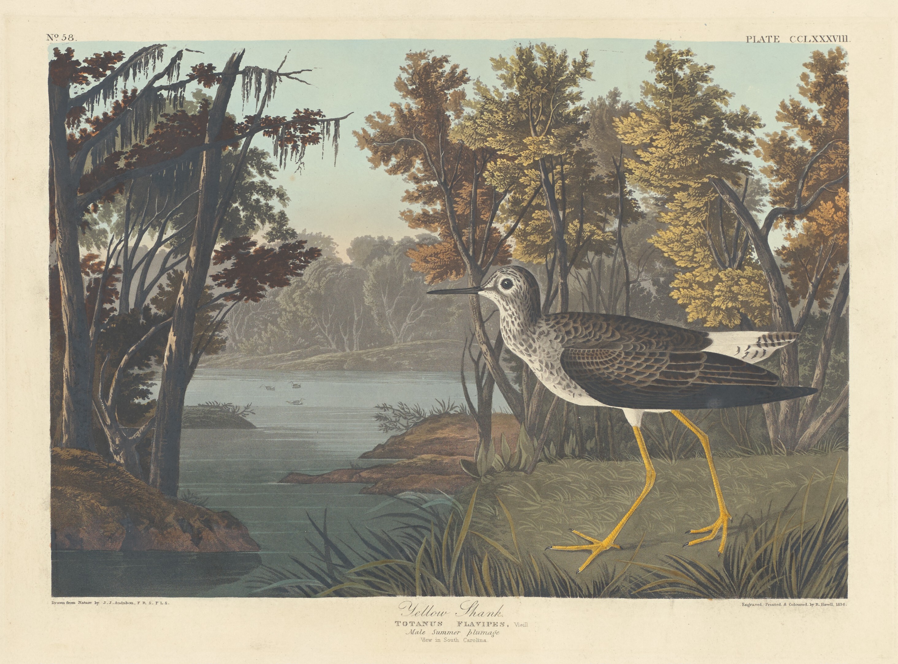
- Lesser YellowlegsTringa flavipes
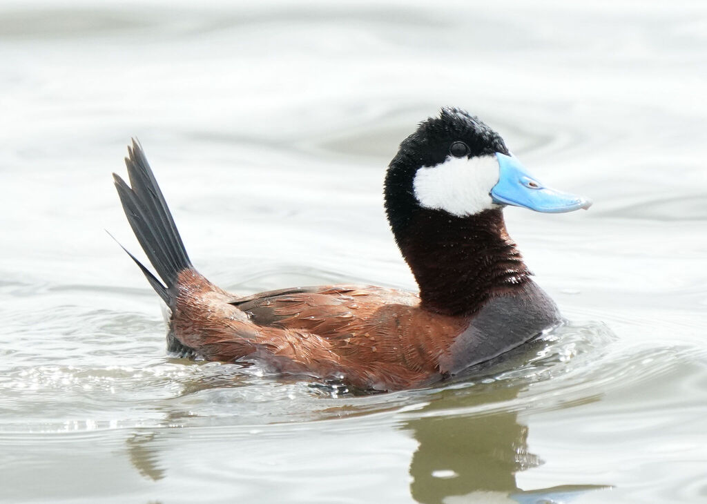
- Ruddy DuckOxyura jamaicensis
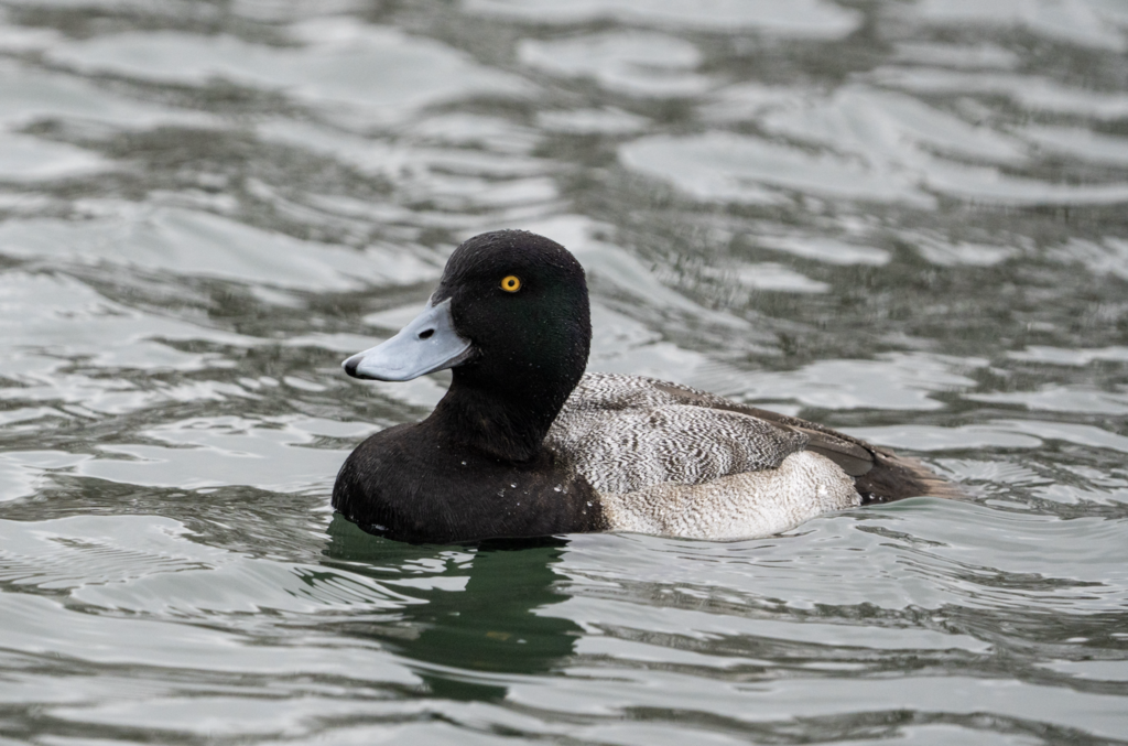
- Lesser ScaupAythya affinis
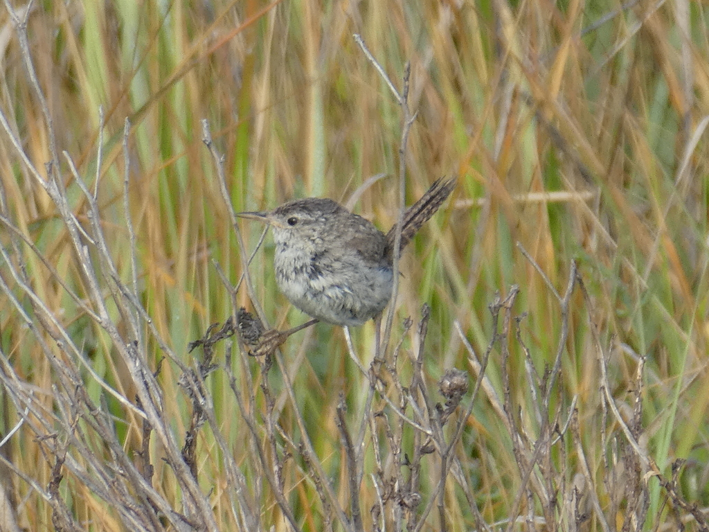
- Marsh WrenCistothorus palustris
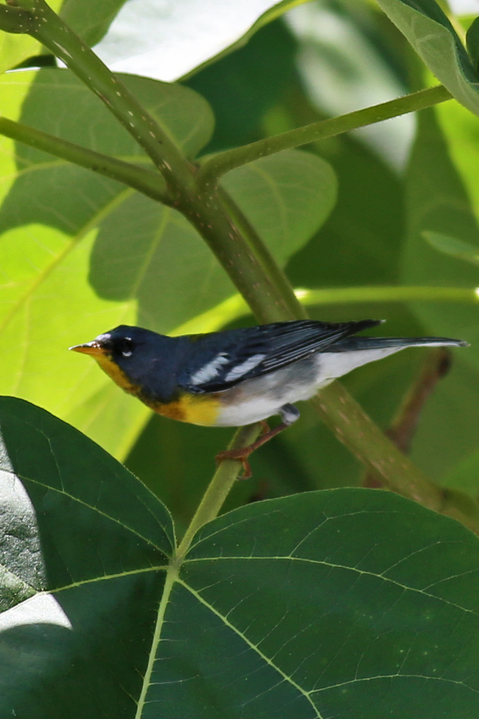
- Northern ParulaParula americana
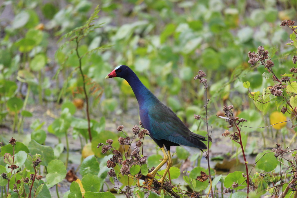
- Purple GallinulePorphyrio martinica
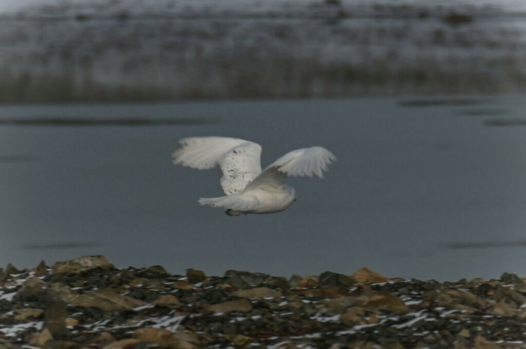
- Snowy OwlBubo scandiacus
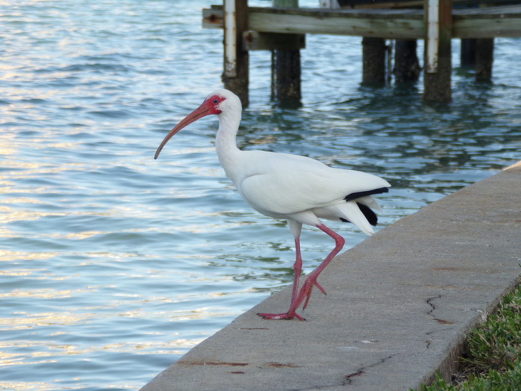
- White IbisEudocimus albus
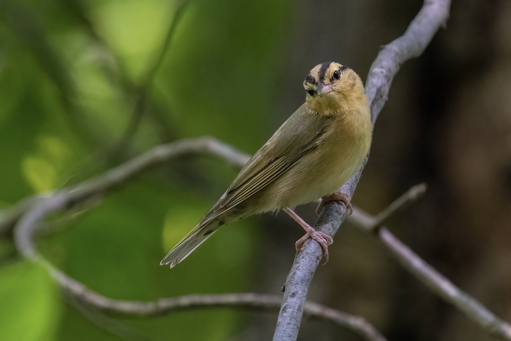
- Worm-eating WarblerHelmitheros vermivorum
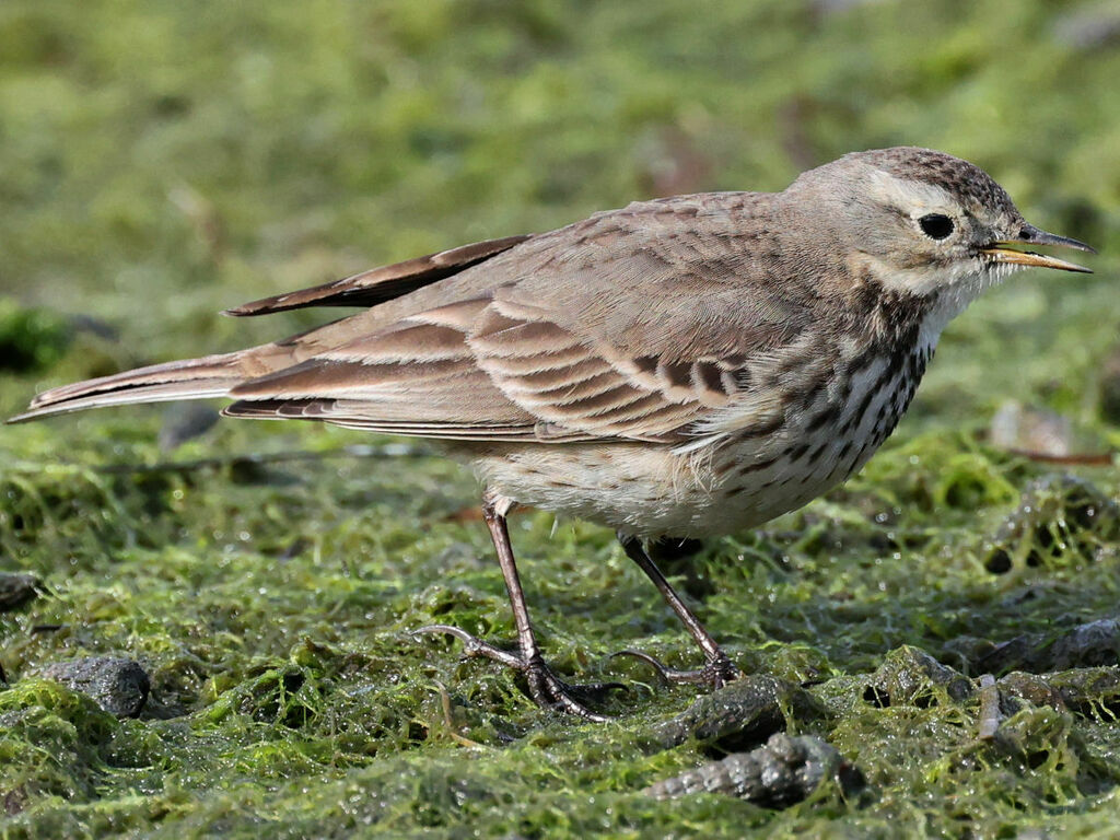
- American PipitAnthus rubescens
Plants 313
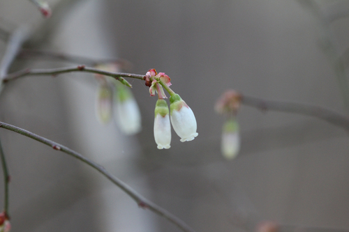
- Elliott's BlueberryVaccinium elliottii
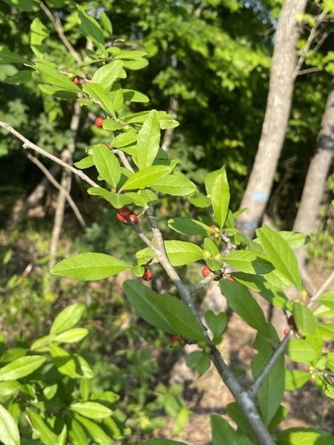
- Possumhaw HollyIlex decidua
- Cherrybark OakQuercus pagoda
- Swamp Chestnut OakQuercus michauxii
- Canada VioletViola canadensis
- Appalachian Orange ConeflowerRudbeckia fulgida var. umbrosa
- Shagbark HickoryCarya ovata
- Camphor PlucheaPluchea camphorata
- PondberryLindera melissifolia
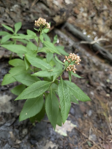
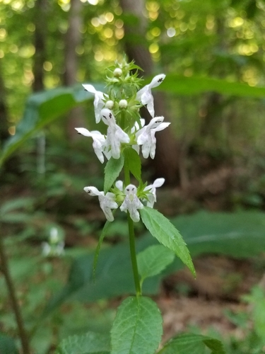
- Smooth Hedge-nettleStachys tenuifolia
- Wolf's BluegrassPoa wolfii
- Spreading SedgeCarex laxiculmis
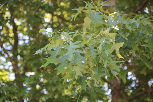
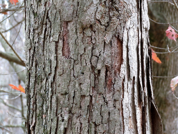
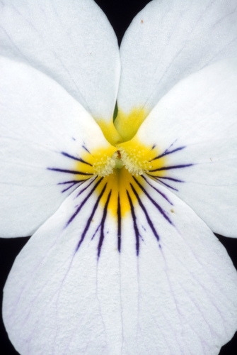
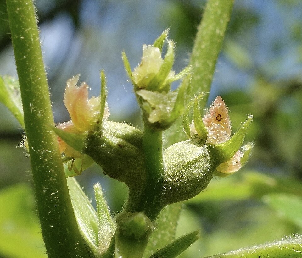
Roadsides, fields and disturbed ground
Birds 86
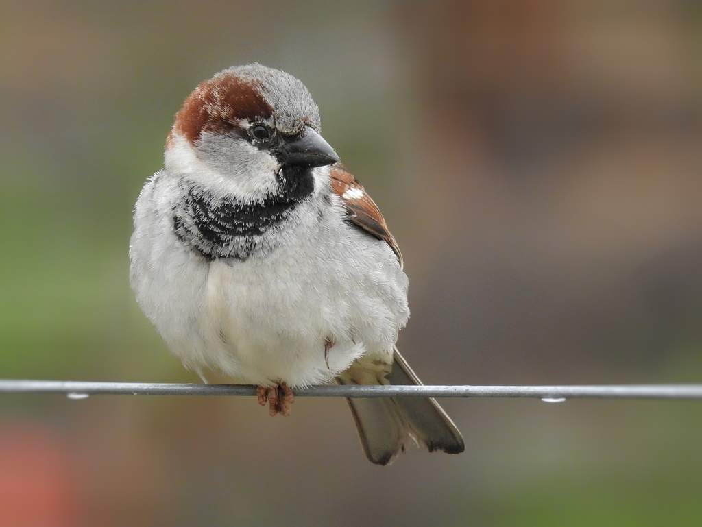
- House SparrowPasser domesticus
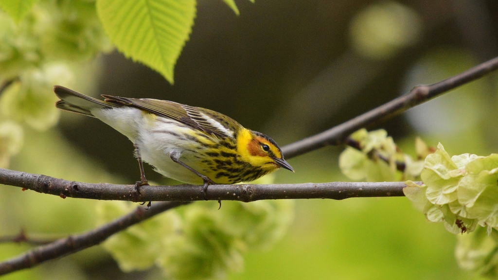
- Cape May WarblerDendroica tigrina
- Grasshopper SparrowAmmodramus savannarum
- Greater RoadrunnerGeococcyx californianus
- Interior Least TernSternula antillarum athalassos
- KilldeerCharadrius vociferus
- Least TernSternula antillarum
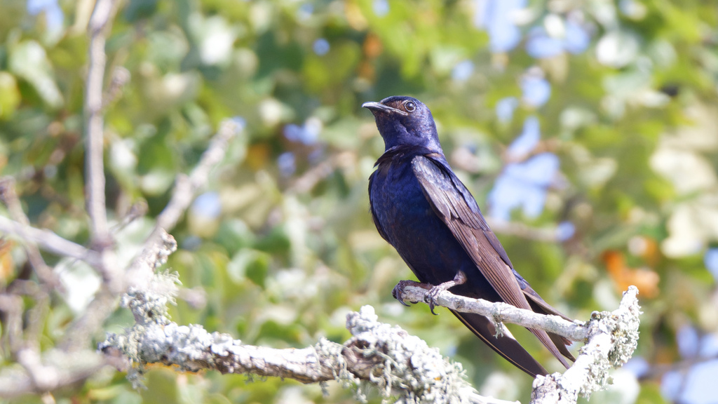
- Purple MartinProgne subis
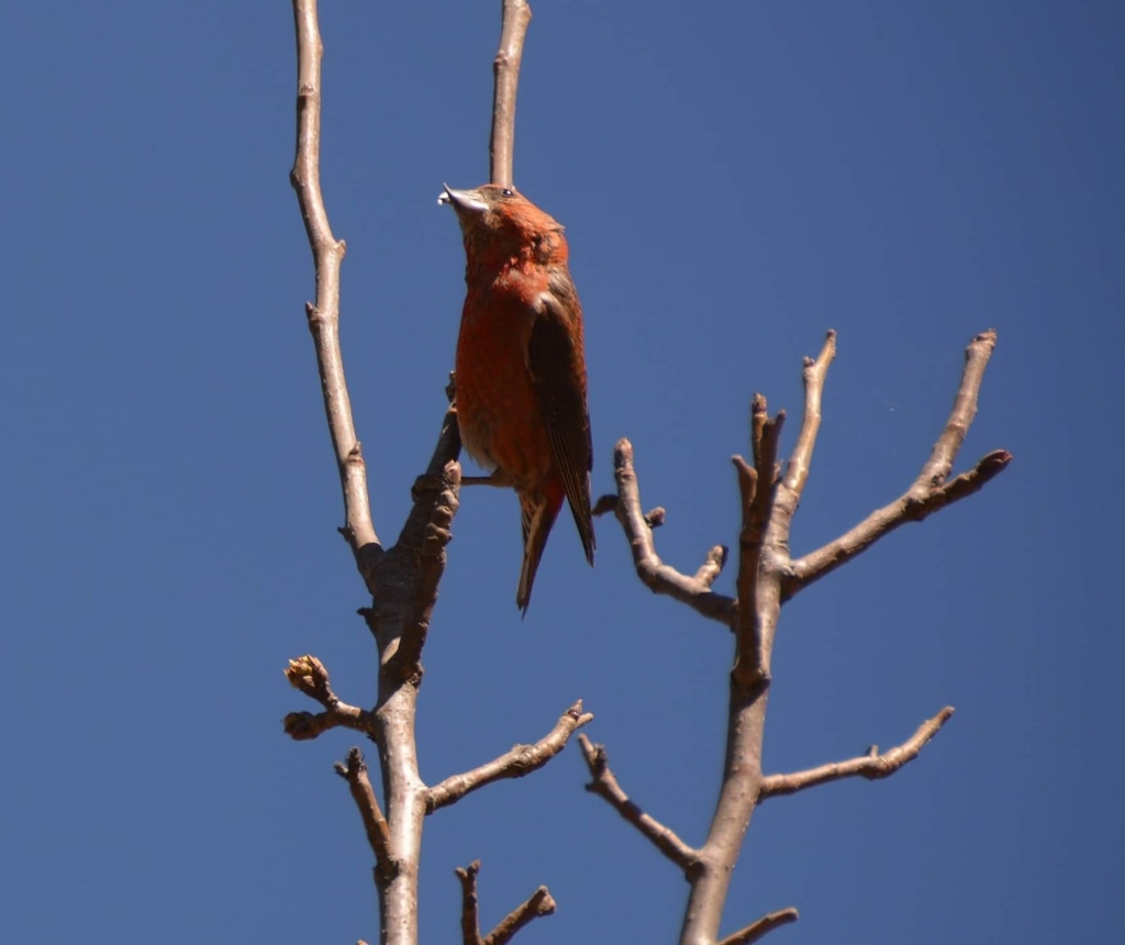
- Red CrossbillLoxia curvirostra
- Rock PigeonColumba livia
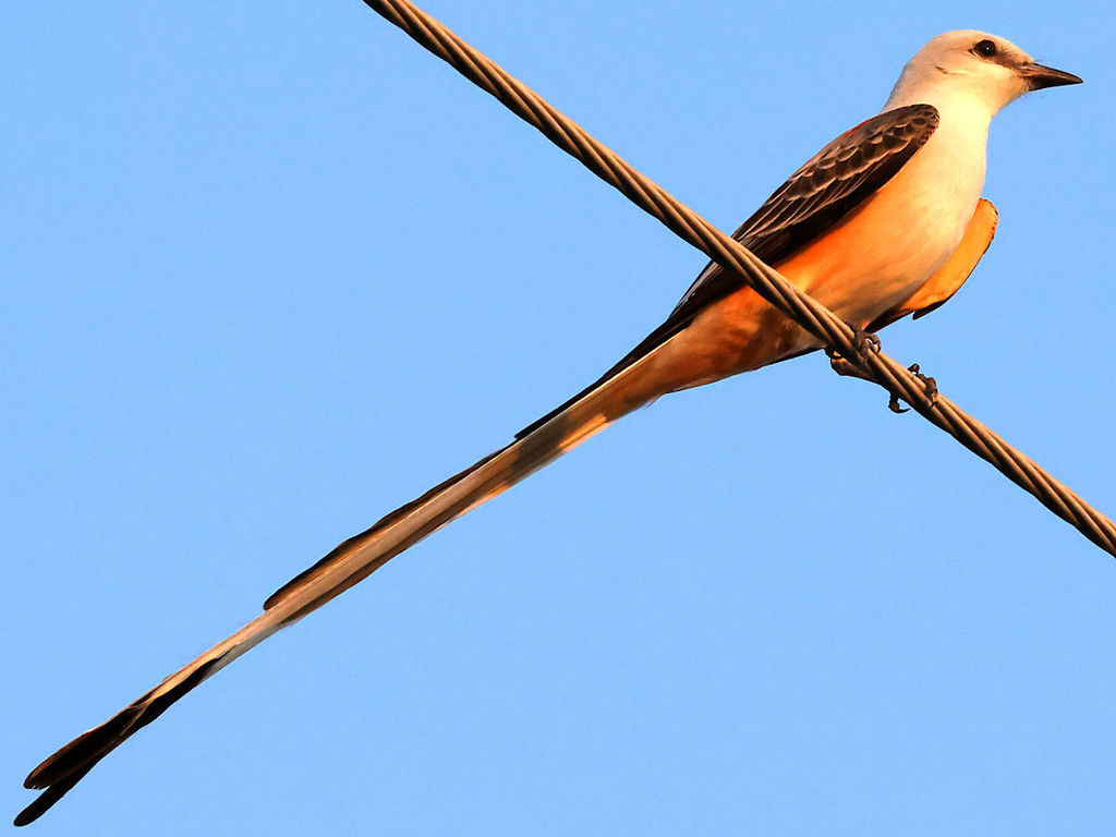
- Scissor-tailed FlycatcherTyrannus forficatus
- Smith's LongspurCalcarius pictus
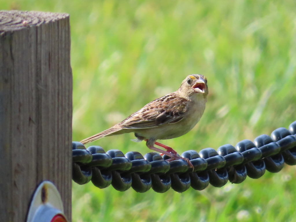
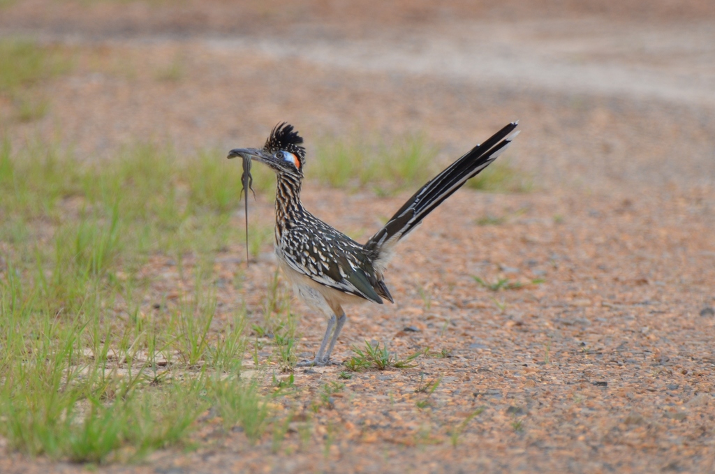
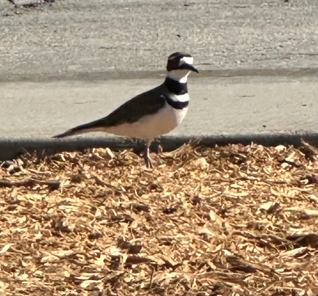
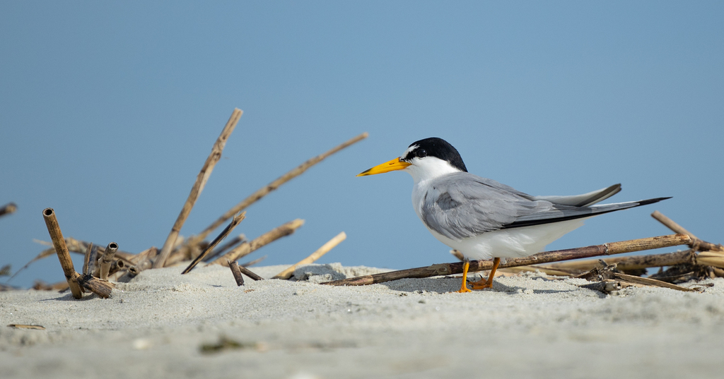

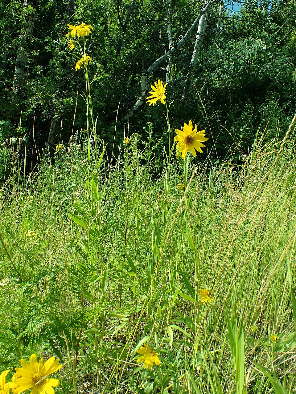
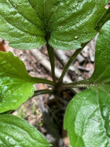
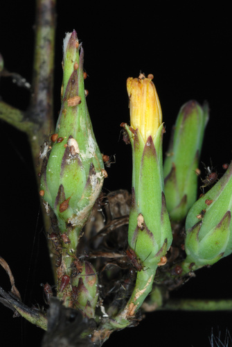
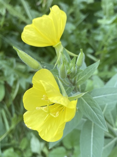
Plants 888
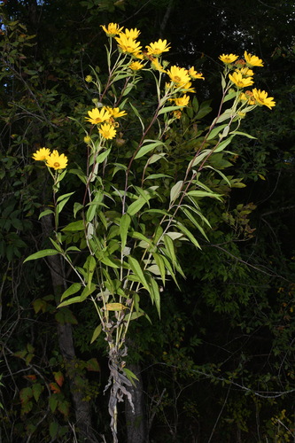
- Maximilian SunflowerHelianthus maximiliani
- Muck SunflowerHelianthus simulans
- Annual FleabaneErigeron annuus
- Canada LettuceLactuca canadensis
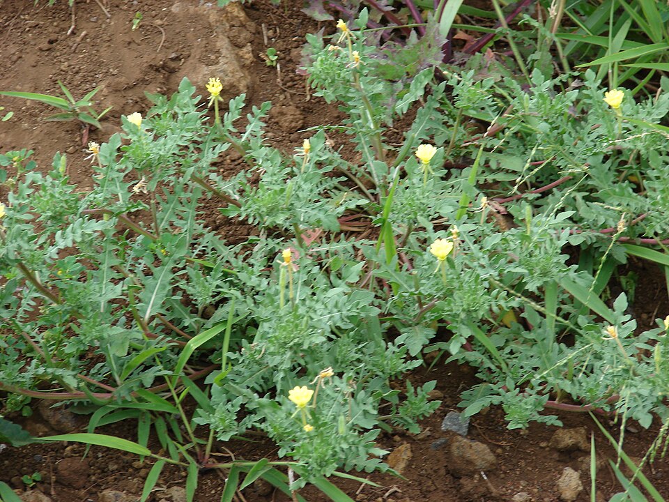
- Common Evening-primroseOenothera biennis
- Cutleaf Evening-primroseOenothera laciniata
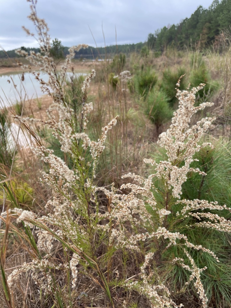
- Dog-fennelEupatorium capillifolium
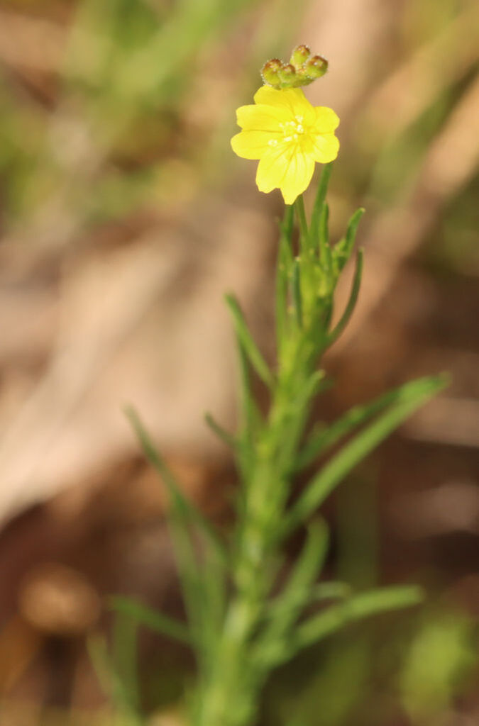
- Threadleaf SundropsOenothera linifolia
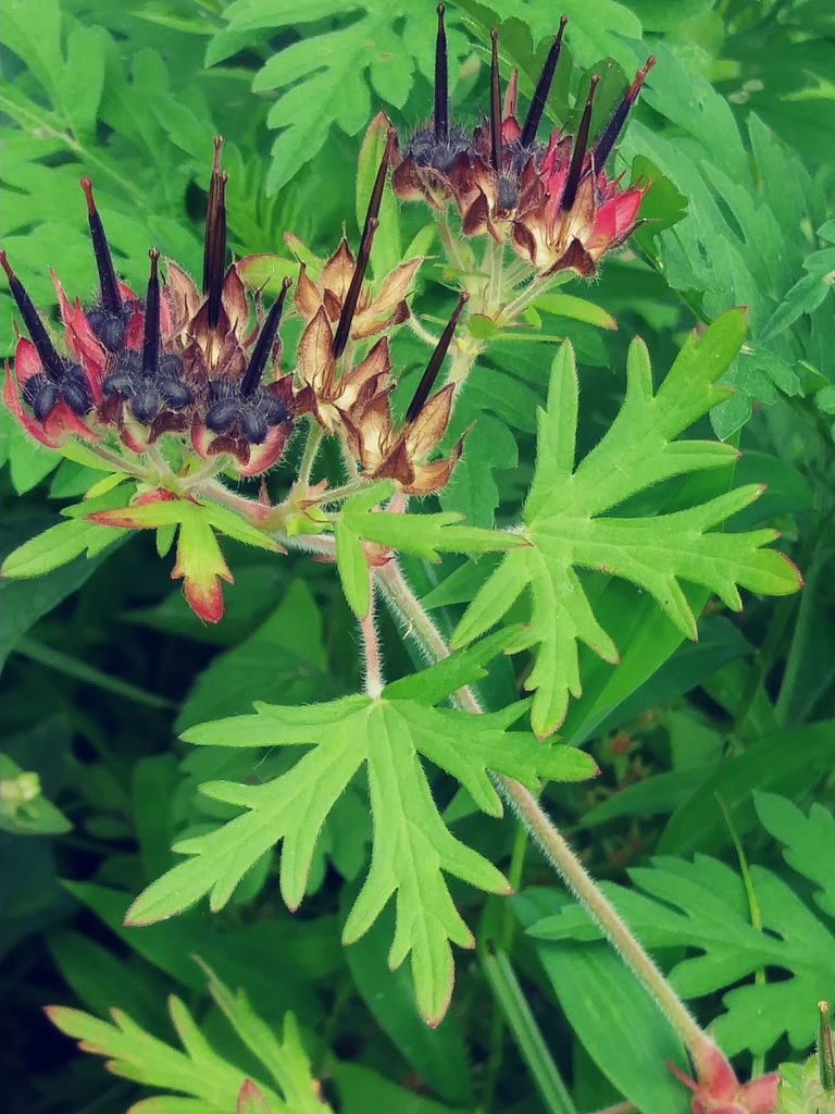
- Carolina Crane's-billGeranium carolinianum
- Bushy KnotweedPolygonum ramosissimum subsp. prolificum
- Blackeyed SusanRudbeckia hirta var. pulcherrima
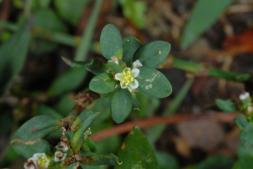
- Prostrate KnotweedPolygonum aviculare
Prairies and grasslands
Birds 41
- Grasshopper SparrowAmmodramus savannarum
- KilldeerCharadrius vociferus
- Scissor-tailed FlycatcherTyrannus forficatus
- Smith's LongspurCalcarius pictus
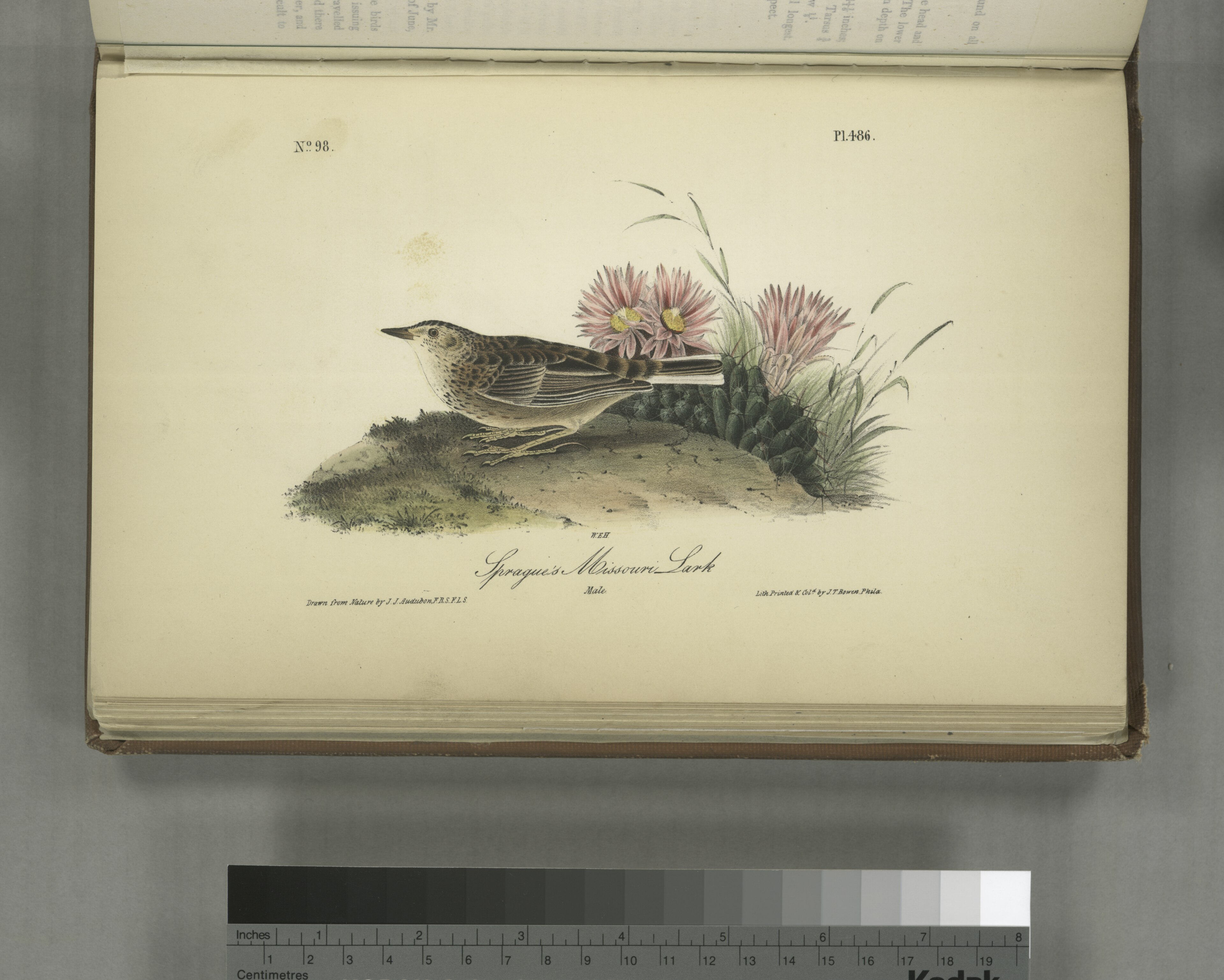
- Sprague's PipitAnthus spragueii
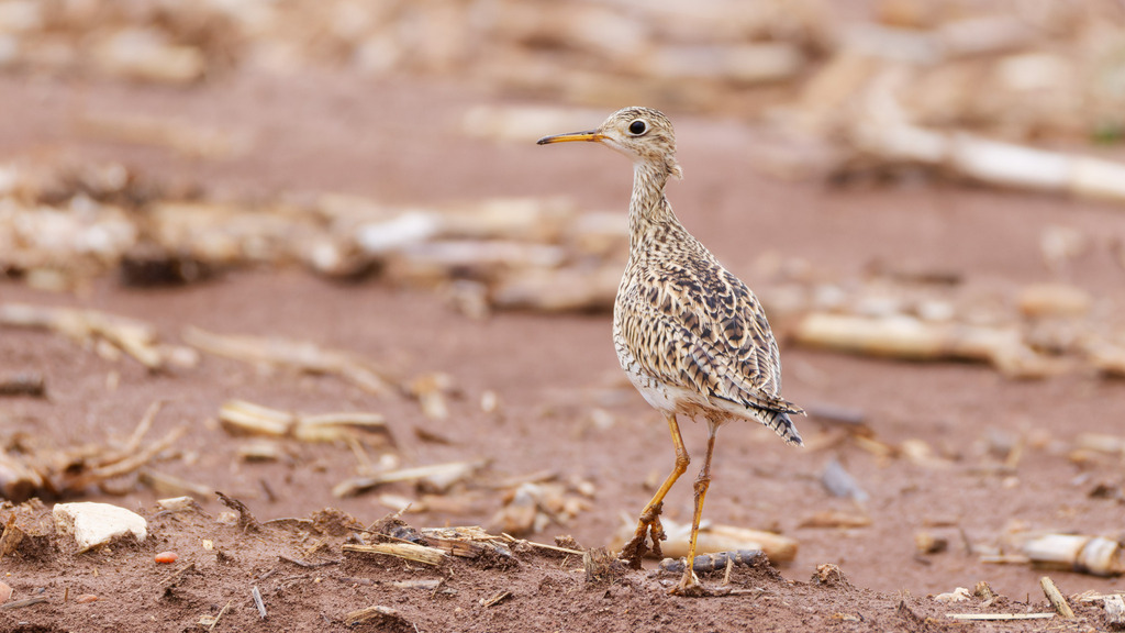
- Upland SandpiperBartramia longicauda
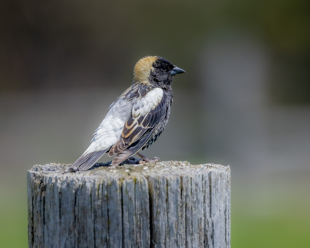
- BobolinkDolichonyx oryzivorus
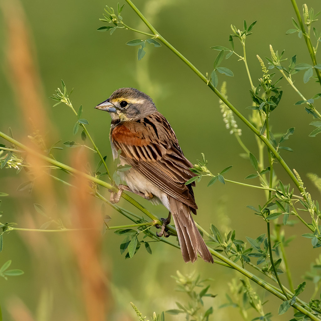
- DickcisselSpiza americana
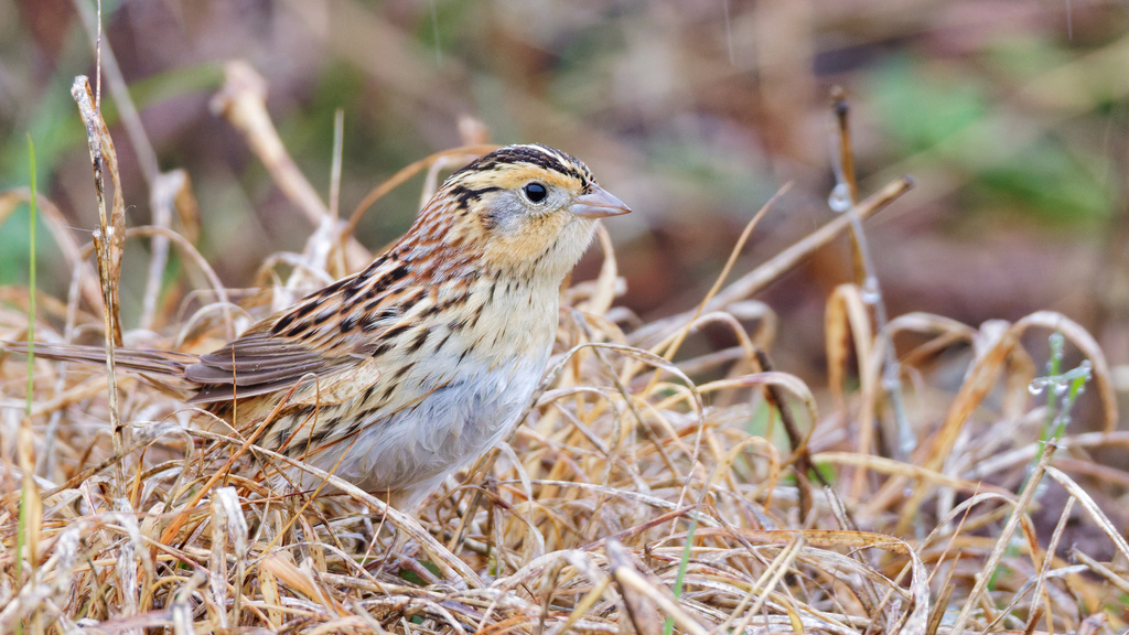
- Le Conte's SparrowAmmodramus leconteii
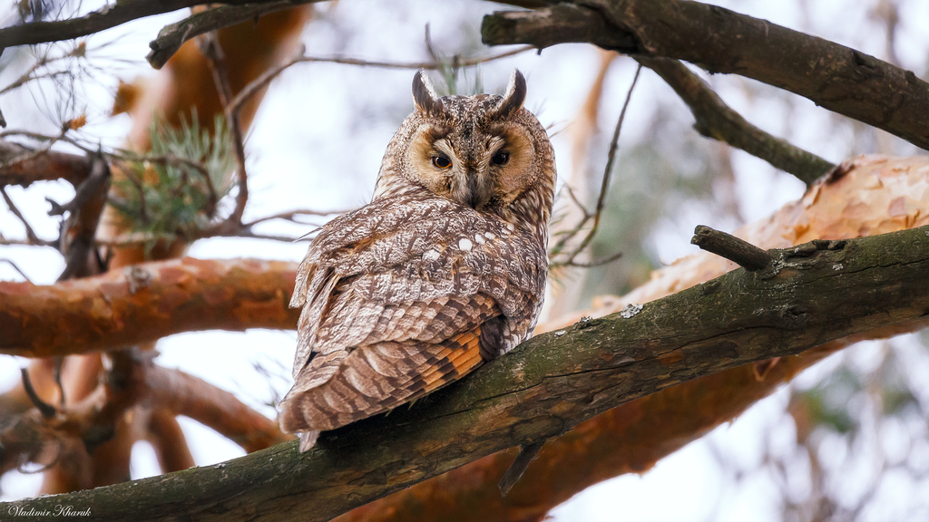
- Long-eared OwlAsio otus
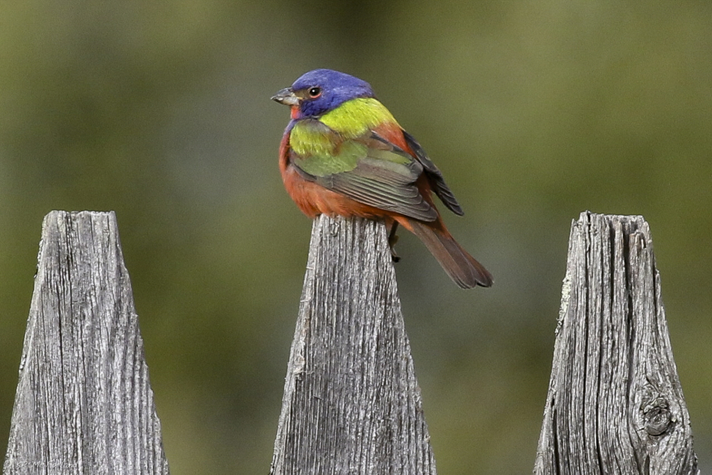
- Painted BuntingPasserina ciris
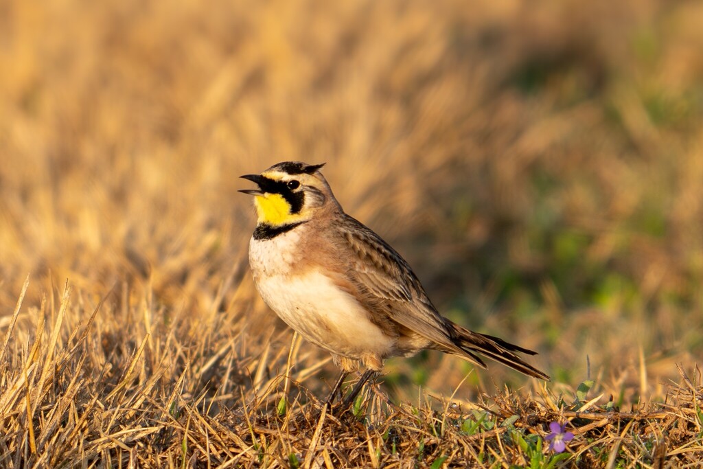
- Horned LarkEremophila alpestris
Plants 187
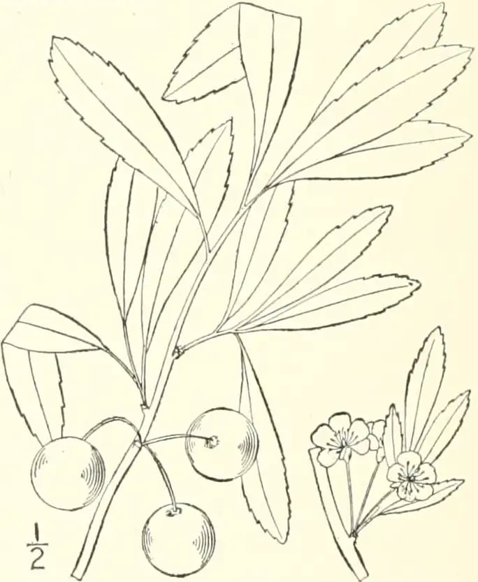
- Susquehanna CherryPrunus pumila var. susquehanae
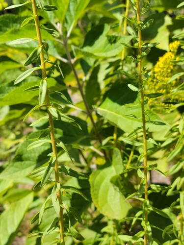
- Twistleaf GoldenrodSolidago tortifolia
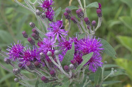
- Missouri IronweedVernonia missurica
- Rydbergs Blazing StarLiatris hirsuta
- Rough Blazing-starLiatris aspera
- Manyflower Marsh-pennywortHydrocotyle umbellata
- Oklahoma Grass PinkCalopogon oklahomensis
- Purple SandgrassTriplasis purpurea
- Bushy GoldentopEuthamia leptocephala
- Sawtooth SunflowerHelianthus grosseserratus
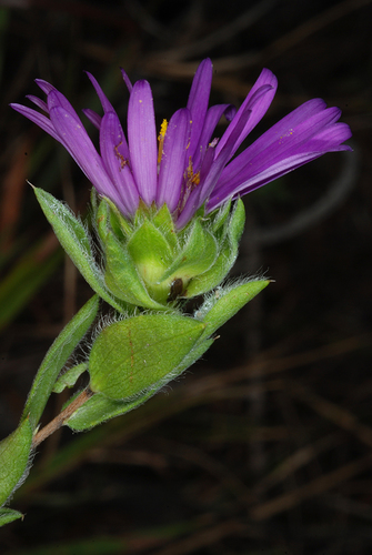
- Barrens Silky AsterSymphyotrichum pratense
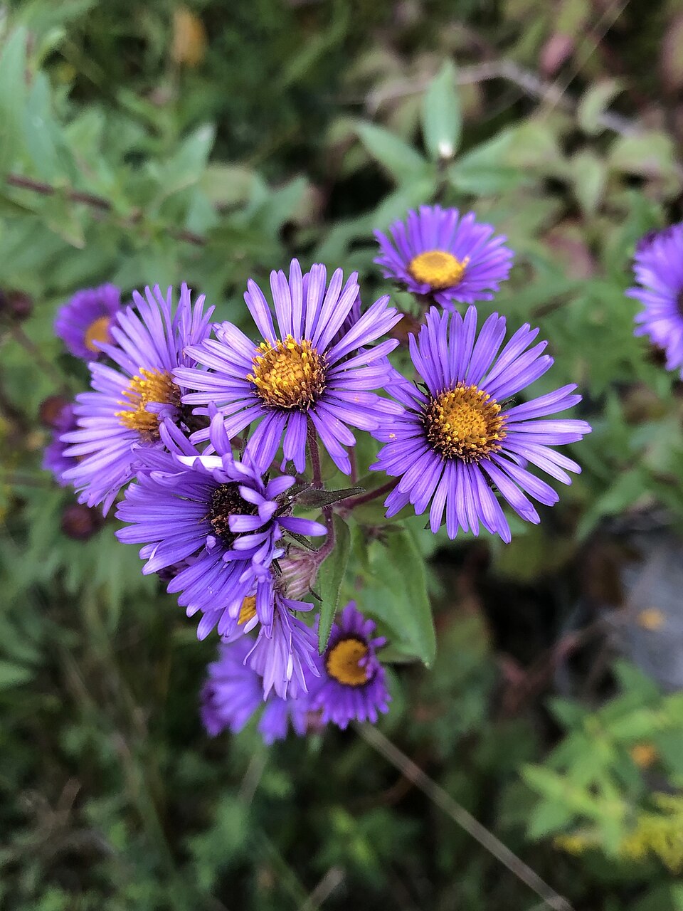
- New England AsterSymphyotrichum novae-angliae

Sources
- USGS Gap Analysis Project habitat models (2001)
- USGS GAP summer habitat model for Cliff Swallow Fresh water only
- USGS Gap Analysis Project range maps (2001), modeled by watershed; migratory gives no dates
- NatureServe Explorer (CC BY 4.0), habitat names
- US Census TIGER/Line counties
- Names follow the USGS Gap Analysis Project (2001)