

Bird
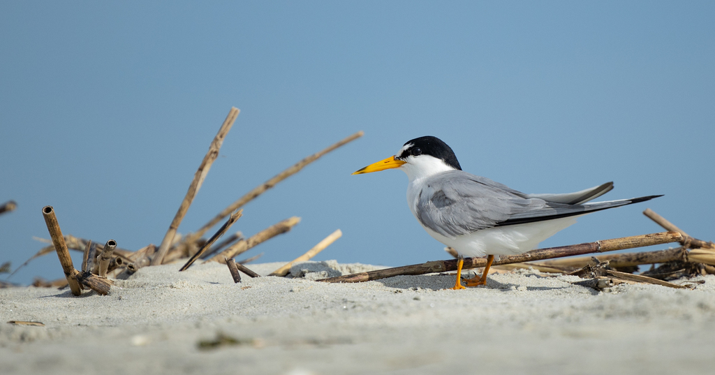
Least Tern
Sternula antillarum
A summer resident that nests in Arkansas. Found in 29 of 75 counties, across 2 habitats.
- Here
- Summer and on migration
- Nesting
- Nests here
- Range
- 29 of 75 counties
- Habitats
- 2
At a glance
- Group
- Birds
- Here
- Summer and on migration
- Nesting
- Nests here
- Range
- 29 of 75 counties
- Habitats
- 2
- Habitat models
- Summer
Where it lives
The places its habitat model includes. It is not found everywhere a habitat occurs.
Habitats in Arkansas 2
Each habitat page lists the plants and wildlife also found there.
1 of 2
Still water and its edges: ponds, lakes, millponds and reservoirs.
Roadsides, fields and disturbed ground
Ground opened by people: roadsides, old fields, pastures, fencerows and lots.
Other habitats in its models (36)
Land cover, or classes with no habitat page in Arkansas.
- Developed, Low Intensity Summer, only within 1,000 m of water.
- Developed, Medium Intensity Summer, only within 1,000 m of water.
- Quarries, Mines, Gravel Pits and Oil Wells Summer, only within 1,000 m of water.
- Open Water (Brackish/Salt) Summer.
- Barren Land Summer, only within 1,000 m of water.
- Atlantic Coastal Plain Southern Beach Summer.
- Unconsolidated Shore (Lake/River/Pond) Summer.
- Unconsolidated Shore (Beach/Dune) Summer.
- Unconsolidated Shore Summer.
- Upper Texas Coast Beach Summer.
- Southeast Florida Beach Summer.
- South Florida Shell Hash Beach Summer.
- Florida Panhandle Beach Vegetation Summer.
- Atlantic Coastal Plain Sea Island Beach Summer.
- Southwest Florida Beach Summer.
- Texas Coastal Bend Beach Summer.
- Atlantic Coastal Plain Xeric River Dune Summer.
- Atlantic Coastal Plain Southern Dune and Maritime Grassland Summer.
- Southwest Florida Dune and Coastal Grassland Summer.
- East Gulf Coastal Plain Dune and Coastal Grassland Summer.
- Recently Burned Grassland Summer, only within 1,000 m of water.
- Atlantic Coastal Plain Central Salt and Brackish Tidal Marsh Summer.
- Atlantic Coastal Plain Indian River Lagoon Tidal Marsh Summer.
- Atlantic Coastal Plain Embayed Region Tidal Salt and Brackish Marsh Summer.
- Mississippi Sound Salt and Brackish Tidal Marsh Summer.
- Atlantic Coastal Plain Northern Tidal Salt Marsh Summer.
- Florida Big Bend Salt-Brackish Tidal Marsh Summer.
- Gulf and Atlantic Coastal Plain Tidal Marsh Systems Summer.
- Floridian Highlands Freshwater Marsh Summer.
- Atlantic Coastal Plain Embayed Region Tidal Freshwater Marsh Summer.
- Florida Big Bend Fresh-Oligohaline Tidal Marsh Summer.
- Atlantic Coastal Plain Northern Fresh and Oligohaline Tidal Marsh Summer.
- Atlantic Coastal Plain Central Fresh-Oligohaline Tidal Marsh Summer.
- Atlantic and Gulf Coastal Plain Interdunal Wetland Summer.
- Western Great Plains Floodplain Systems Summer.
- Eastern Great Plains Floodplain Systems Summer.
Seasons in Arkansas
- Migratory: does not nest here, in 16 of 75 counties.
- Summer: nests here, in 18 of 75 counties.
Also found in this habitat
Wildlife 194
Other animals whose habitat models include the same habitats in Arkansas. Not sighting records.
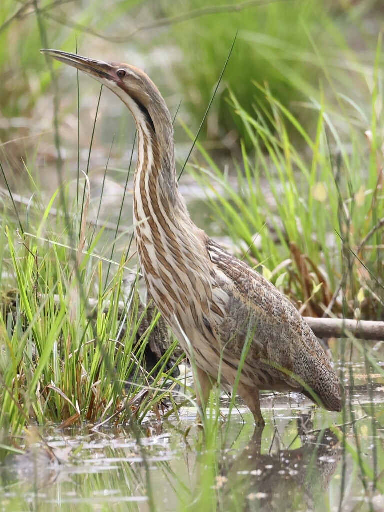
- American BitternBotaurus lentiginosus
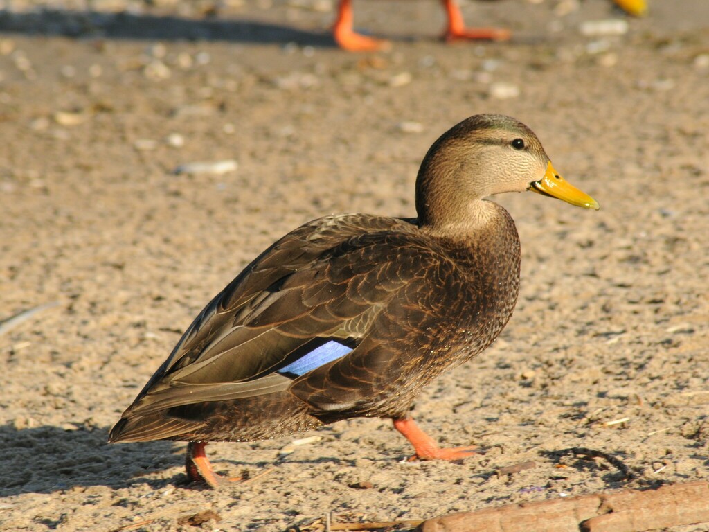
- American Black DuckAnas rubripes
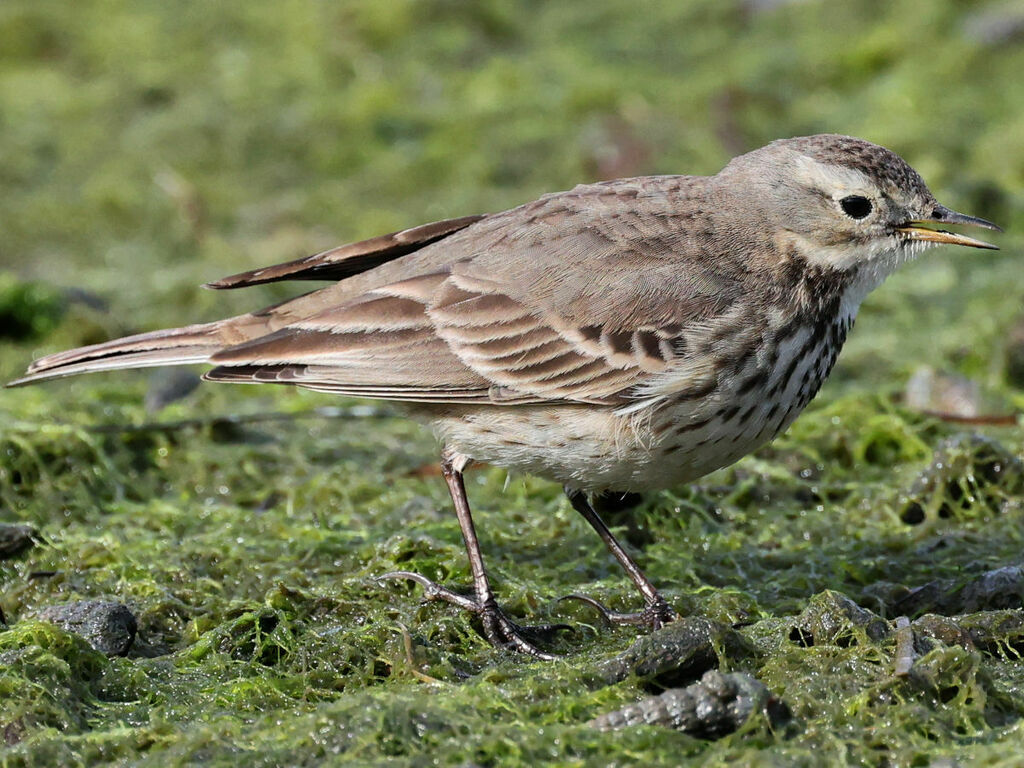
- American PipitAnthus rubescens
- American WigeonAnas americana
- Bank SwallowRiparia riparia
- Barn SwallowHirundo rustica
- Black-crowned Night-heronNycticorax nycticorax
- Canada GooseBranta canadensis
- Chimney SwiftChaetura pelagica
- Cliff SwallowPetrochelidon pyrrhonota
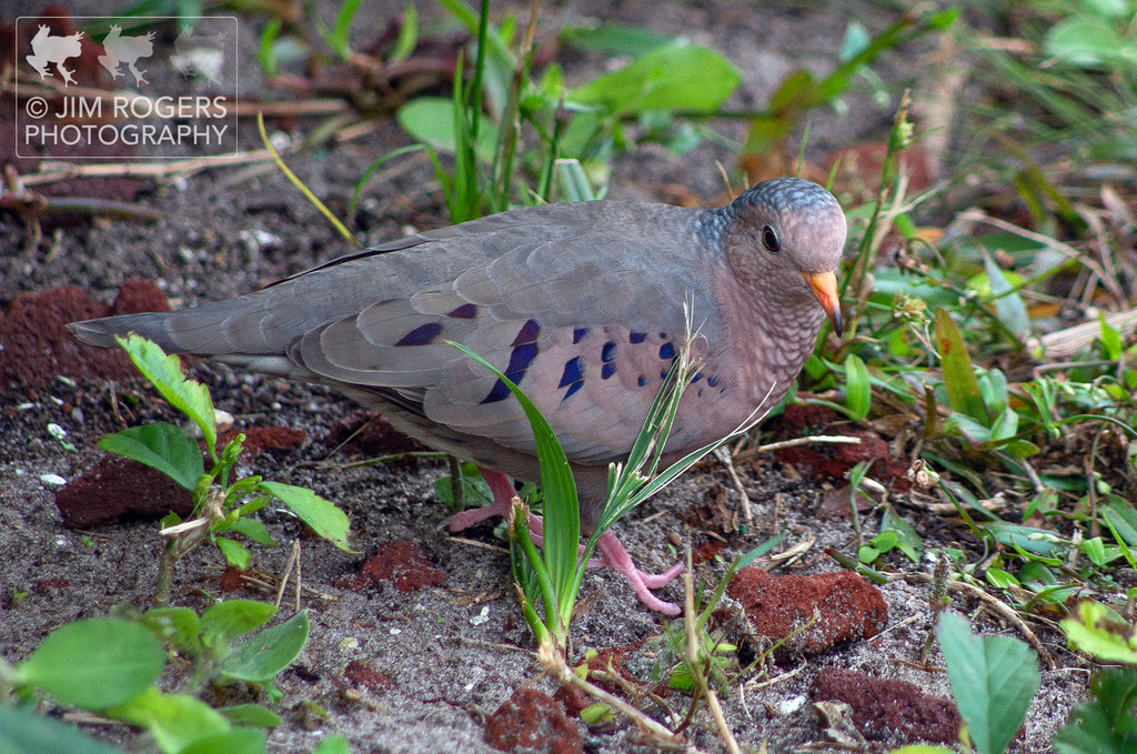
- Common Ground-doveColumbina passerina
- Common NighthawkChordeiles minor
- Eastern KingbirdTyrannus tyrannus
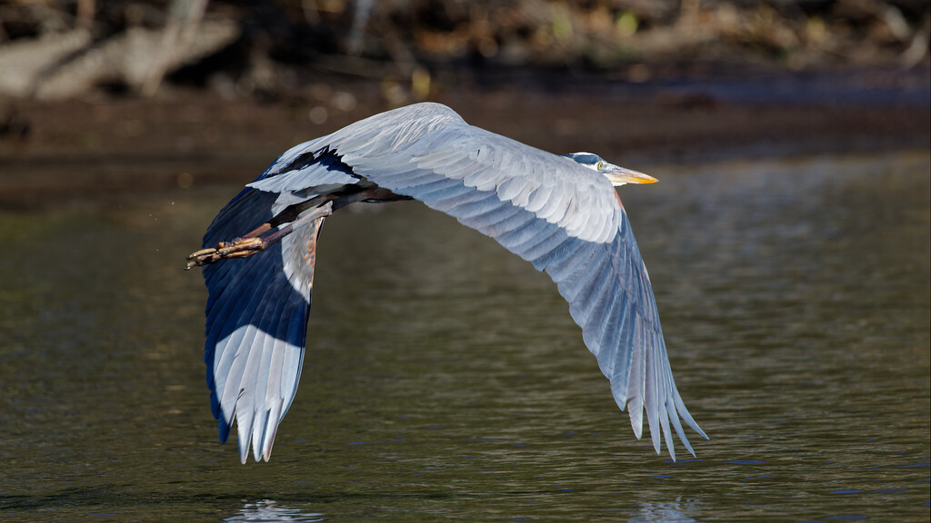
- Great Blue HeronArdea herodias
- Great Horned OwlBubo virginianus
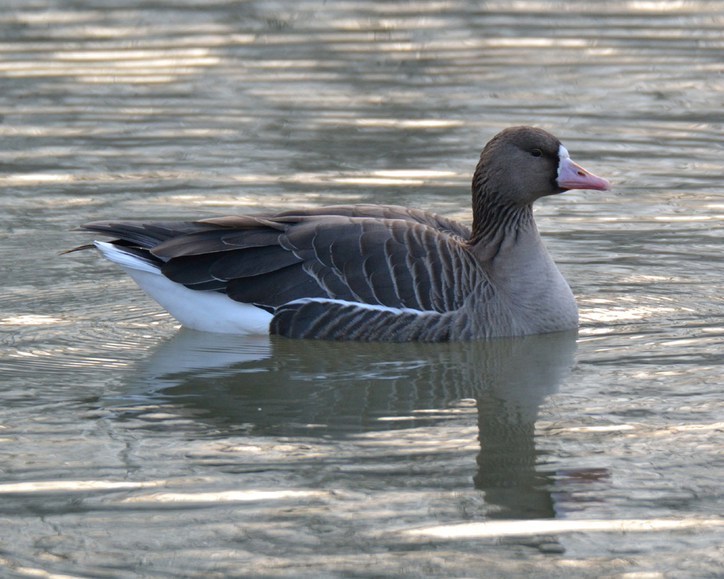
- Greater White-fronted GooseAnser albifrons
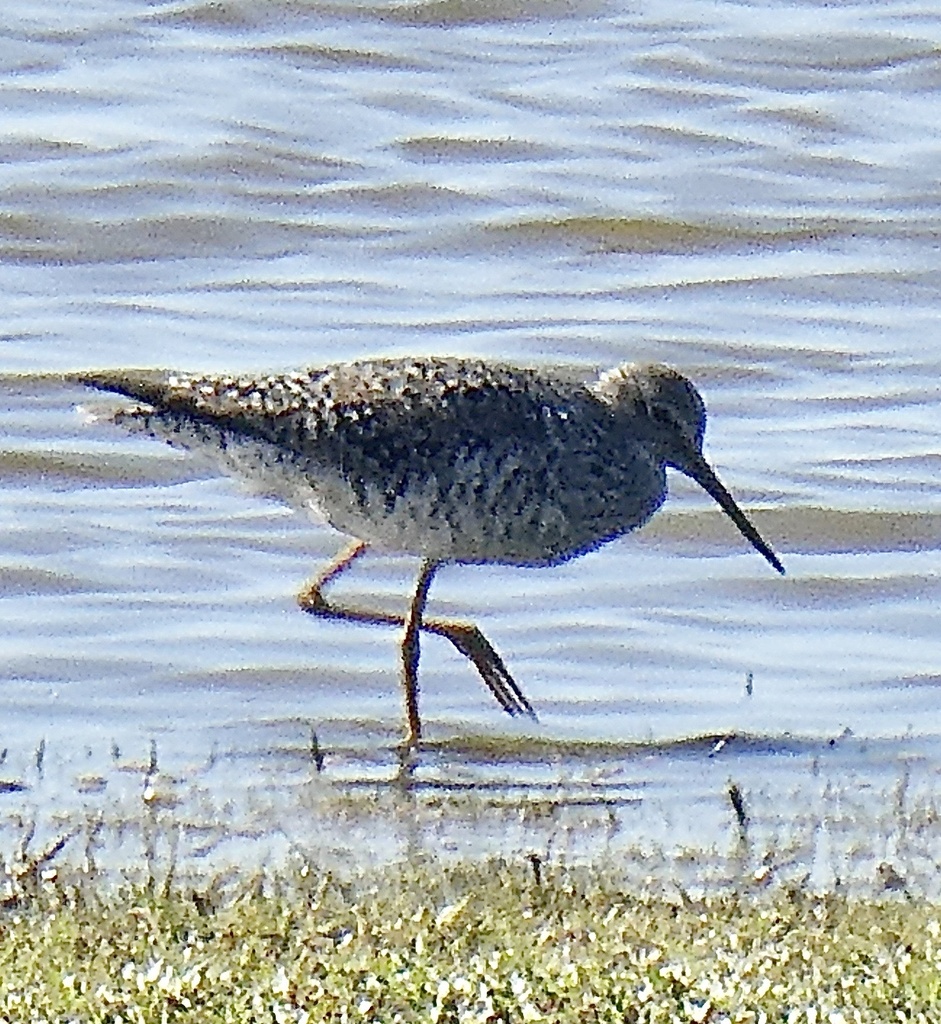
- Greater YellowlegsTringa melanoleuca
- Interior Least TernSternula antillarum athalassos
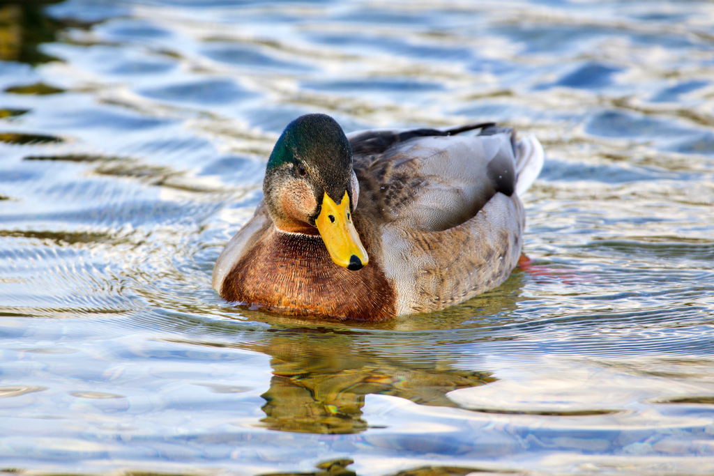
- MallardAnas platyrhynchos
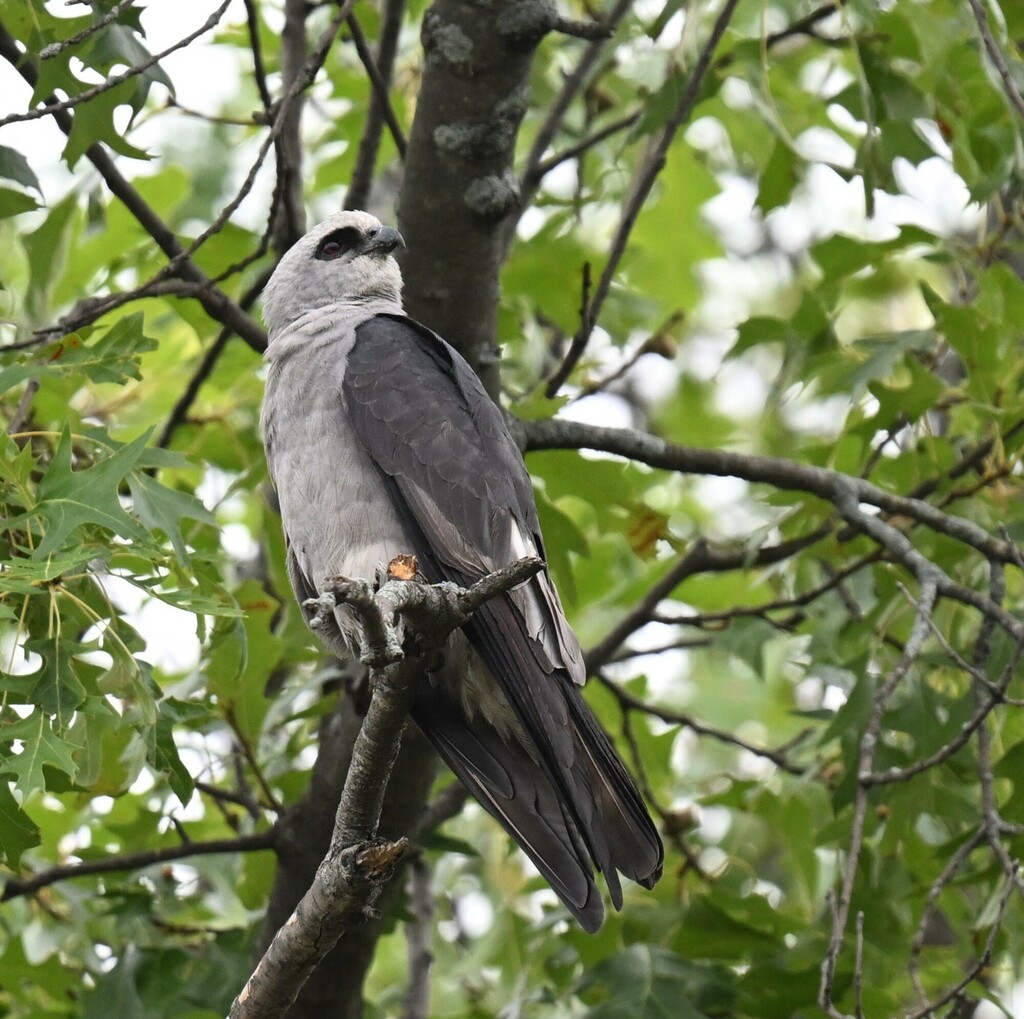
- Mississippi KiteIctinia mississippiensis
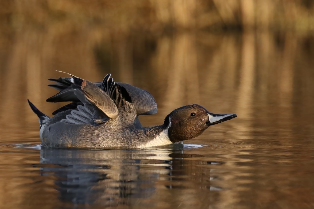
- Northern PintailAnas acuta
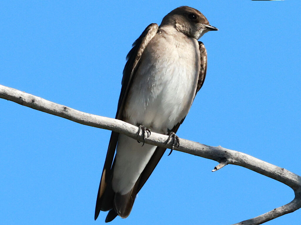
- Northern Rough-winged SwallowStelgidopteryx serripennis
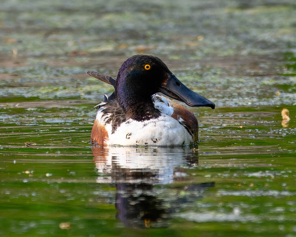
- Northern ShovelerAnas clypeata
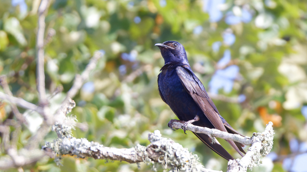
- Purple MartinProgne subis
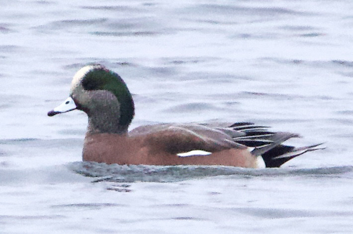

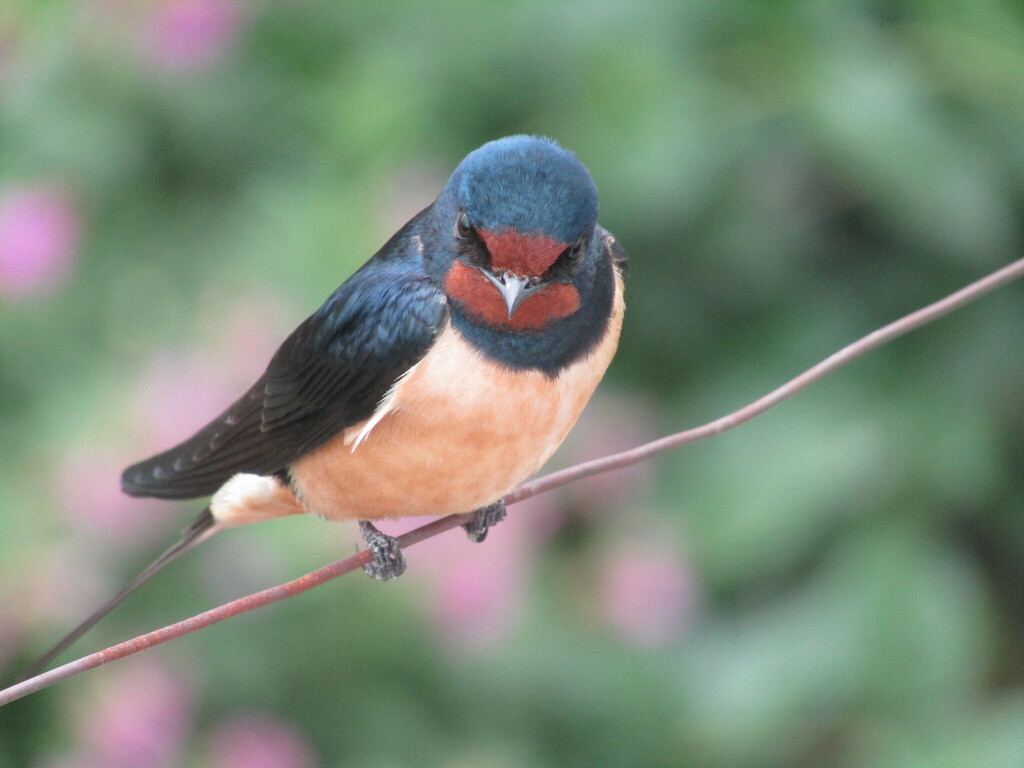

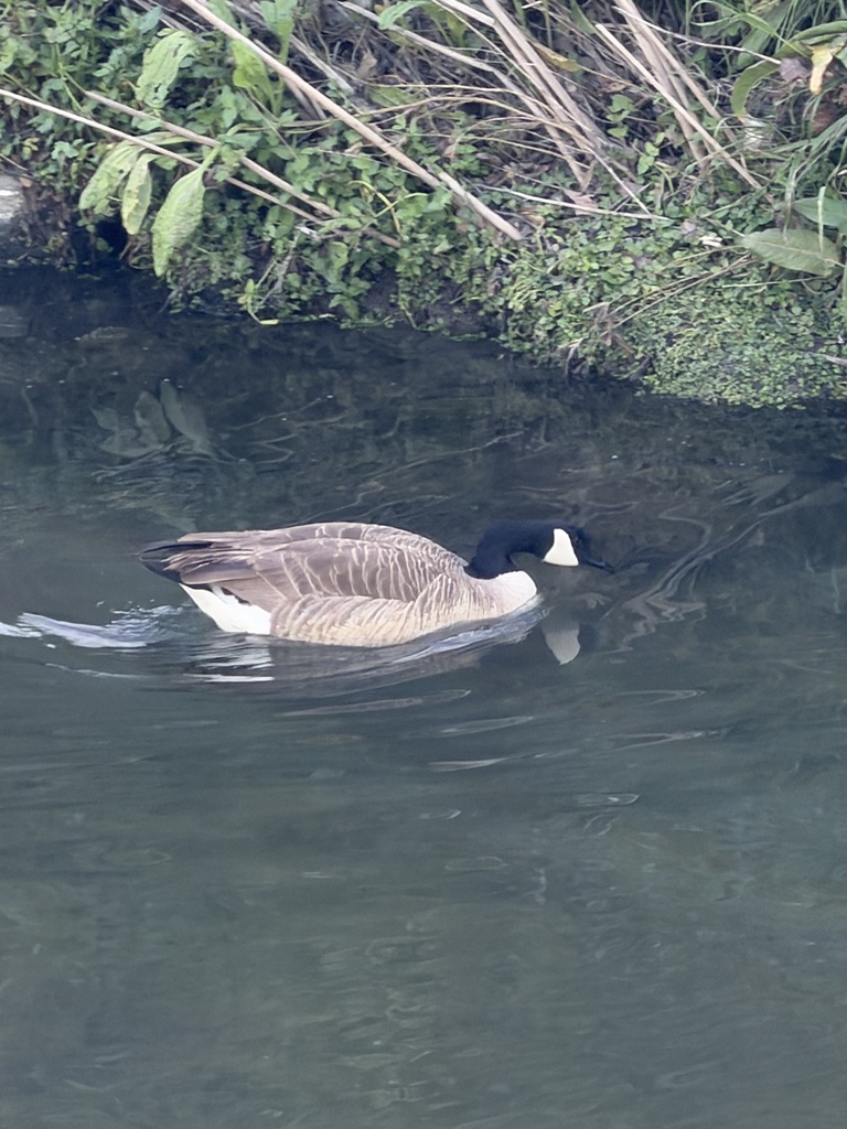

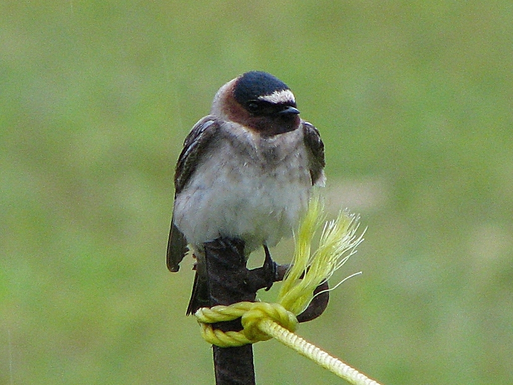



NatureServe Explorer, CC BY 4.0. USGS Gap Analysis Project habitat models.
Sources
- USGS Gap Analysis Project habitat models (2001)
- USGS GAP summer habitat model for Least Tern Slow streams only
- USGS Gap Analysis Project range maps (2001), modeled by watershed; migratory gives no dates
- NatureServe Explorer (CC BY 4.0), habitat names
- US Census TIGER/Line counties
- Names follow the USGS Gap Analysis Project (2001)