

Bird
Bank Swallow
Riparia riparia
A summer resident that nests in Arkansas. Found in all 75 counties, across 9 habitats.
- Here
- Summer and on migration
- Nesting
- Nests here
- Range
- All 75 counties
- Habitats
- 9

At a glance
- Group
- Birds
- Here
- Summer and on migration
- Nesting
- Nests here
- Range
- All 75 counties
- Habitats
- 9
- Habitat models
- Summer
Where it lives
The places its habitat model includes. It is not found everywhere a habitat occurs.
Habitats in Arkansas 9
Each habitat page lists the plants and wildlife also found there.
Disturbed and introduced wetlands
Wet ground taken over by weedy or introduced plants after disturbance, such as common reed, Chinese tallow or tamarisk stands; the upland counterpart is roadsides, fields and disturbed ground.
Floodplain and bottomland forests
Forests on low ground beside rivers and streams that flood from time to time.
Still water and its edges: ponds, lakes, millponds and reservoirs.
Streams, rivers and their banks
Flowing water and its banks, bars and rocky shoals.
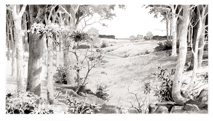
Glades, barrens and outcrops on limestone
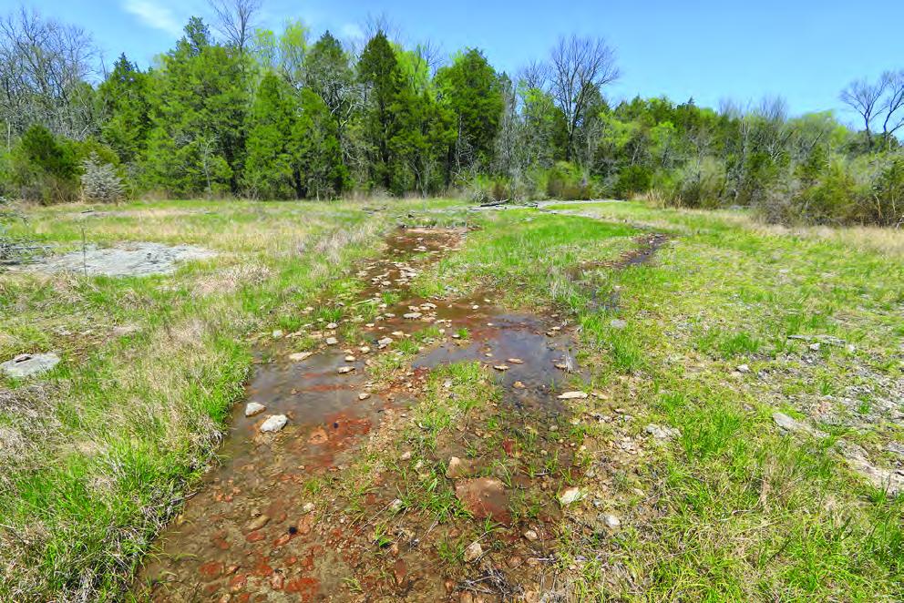
Granite and other acidic rock outcrops
Bare or thin-soil rock on granite, gneiss, sandstone, quartzite and similar acidic rock, including granite flatrocks and domes.
Open, grass-dominated places kept open by fire, grazing or thin soil, from tallgrass prairie to Piedmont prairies.
Roadsides, fields and disturbed ground
Ground opened by people: roadsides, old fields, pastures, fencerows and lots.
Other habitats in its models (100)
Land cover, or classes with no habitat page in Arkansas.
- Developed, Low Intensity Summer, only within 250 m of water.
- Quarries, Mines, Gravel Pits and Oil Wells Summer, only within 250 m of water.
- Open Water (Brackish/Salt) Summer.
- Open Water (Aquaculture) Summer.
- Barren Land Summer, only within 250 m of water.
- Atlantic Coastal Plain Southern Beach Summer.
- Unconsolidated Shore (Lake/River/Pond) Summer.
- Unconsolidated Shore (Beach/Dune) Summer.
- Unconsolidated Shore Summer.
- Upper Texas Coast Beach Summer.
- Louisiana Beach Summer.
- Southeast Florida Beach Summer.
- South Florida Shell Hash Beach Summer.
- Florida Panhandle Beach Vegetation Summer.
- Atlantic Coastal Plain Sea Island Beach Summer.
- Southwest Florida Beach Summer.
- Texas Coastal Bend Beach Summer.
- North-Central Appalachian Circumneutral Cliff and Talus Summer, only within 250 m of water.
- North-Central Appalachian Acidic Cliff and Talus Summer, only within 250 m of water.
- Southern Piedmont Cliff Summer, only within 250 m of water.
- Southern Interior Acid Cliff Summer, only within 250 m of water.
- Southern Appalachian Montane Cliff Summer, only within 250 m of water.
- Southern Interior Calcareous Cliff Summer, only within 250 m of water.
- East Gulf Coastal Plain Dry Chalk Bluff Summer, only within 250 m of water.
- Southern Appalachian Rocky Summit Summer, only within 250 m of water.
- Southern Appalachian Granitic Dome Summer, only within 250 m of water.
- Southern Piedmont Granite Flatrock Summer, only within 250 m of water.
- Ridge and Valley Calcareous Valley Bottom Glade and Woodland Summer, only within 250 m of water.
- East Gulf Coastal Plain Black Belt Calcareous Prairie and Woodland - Herbaceous Modifier Summer, only within 250 m of water.
- Edwards Plateau Limestone Savanna and Woodland Summer, only within 250 m of water.
- East Gulf Coastal Plain Black Belt Calcareous Prairie and Woodland - Woodland Modifier Summer, only within 250 m of water.
- Appalachian Shale Barrens Summer, only within 250 m of water.
- Central Appalachian Pine-Oak Rocky Woodland Summer, only within 250 m of water.
- Northeastern Interior Pine Barrens Summer, only within 250 m of water.
- Florida Peninsula Inland Scrub Summer, only within 250 m of water.
- Tamaulipan Mixed Deciduous Thornscrub Summer, only within 250 m of water.
- Tamaulipan Mesquite Upland Scrub Summer, only within 250 m of water.
- Tamaulipan Calcareous Thornscrub Summer, only within 250 m of water.
- North-Central Interior Oak Savanna Summer, only within 250 m of water.
- North-Central Oak Barrens Summer, only within 250 m of water.
- Southern Piedmont Glade and Barrens Summer, only within 250 m of water.
- Nashville Basin Limestone Glade Summer, only within 250 m of water.
- Cumberland Sandstone Glade and Barrens Summer, only within 250 m of water.
- Central Appalachian Alkaline Glade and Woodland Summer, only within 250 m of water.
- Atlantic Coastal Plain Xeric River Dune Summer.
- Southern Appalachian Grass and Shrub Bald - Shrub Modifier Summer, only within 250 m of water.
- Southern Appalachian Grass and Shrub Bald - Herbaceous Modifier Summer, only within 250 m of water.
- Eastern Highland Rim Prairie and Barrens - Dry Modifier Summer, only within 250 m of water.
- Central Mixedgrass Prairie Summer, only within 250 m of water.
- North-Central Interior Sand and Gravel Tallgrass Prairie Summer, only within 250 m of water.
- Central Tallgrass Prairie Summer, only within 250 m of water.
- Southern Blackland Tallgrass Prairie Summer, only within 250 m of water.
- Florida Dry Prairie Summer, only within 250 m of water.
- East Gulf Coastal Plain Jackson Prairie and Woodland Summer, only within 250 m of water.
- Atlantic Coastal Plain Southern Dune and Maritime Grassland Summer.
- Southwest Florida Dune and Coastal Grassland Summer.
- Texas-Louisiana Coastal Prairie Summer, only within 250 m of water.
- East Gulf Coastal Plain Dune and Coastal Grassland Summer.
- Central and Upper Texas Coast Dune and Coastal Grassland Summer.
- Harvested Forest - Grass/Forb Regeneration Summer, only within 250 m of water.
- Recently Burned Grassland Summer, only within 250 m of water.
- Recently Burned Shrubland Summer, only within 250 m of water.
- Introduced Upland Vegetation - Forbland Summer, only within 250 m of water.
- Introduced Upland Vegetation - Annual Grassland Summer, only within 250 m of water.
- Introduced Upland Vegetation - Perennial Grassland Summer, only within 250 m of water.
- Modified/Managed Southern Tall Grassland Summer, only within 250 m of water.
- Atlantic Coastal Plain Central Salt and Brackish Tidal Marsh Summer.
- Atlantic Coastal Plain Indian River Lagoon Tidal Marsh Summer.
- Atlantic Coastal Plain Embayed Region Tidal Salt and Brackish Marsh Summer.
- Mississippi Sound Salt and Brackish Tidal Marsh Summer.
- Atlantic Coastal Plain Northern Tidal Salt Marsh Summer.
- Florida Big Bend Salt-Brackish Tidal Marsh Summer.
- Atlantic Coastal Plain Clay-Based Carolina Bay Herbaceous Wetland Summer.
- Atlantic Coastal Plain Large Natural Lakeshore Summer.
- South Florida Everglades Sawgrass Marsh Summer.
- Gulf and Atlantic Coastal Plain Tidal Marsh Systems Summer.
- Central Interior and Appalachian Shrub-Herbaceous Wetland Systems Summer.
- Floridian Highlands Freshwater Marsh Summer.
- Atlantic Coastal Plain Embayed Region Tidal Freshwater Marsh Summer.
- Central Florida Herbaceous Seep Summer.
- Florida Big Bend Fresh-Oligohaline Tidal Marsh Summer.
- Atlantic Coastal Plain Northern Fresh and Oligohaline Tidal Marsh Summer.
- Southern Coastal Plain Herbaceous Seepage Bog Summer.
- Atlantic Coastal Plain Central Fresh-Oligohaline Tidal Marsh Summer.
- Atlantic and Gulf Coastal Plain Interdunal Wetland Summer.
- Southern and Central Appalachian Bog and Fen Summer.
- South Florida Wet Marl Prairie Summer.
- East Gulf Coastal Plain Savanna and Wet Prairie Summer.
- Texas Saline Coastal Prairie Summer.
- Eastern Great Plains Wet Meadow, Prairie, and Marsh Summer.
- Central Florida Herbaceous Pondshore Summer.
- East Gulf Coastal Plain Southern Depression Pondshore Summer.
- Atlantic Coastal Plain Depression Pondshore Summer.
- South Florida Freshwater Slough and Gator Hole Summer.
- East Gulf Coastal Plain Large River Floodplain Forest - Herbaceous Modifier Summer.
- South-Central Interior Large Floodplain - Herbaceous Modifier Summer.
- Western Great Plains Floodplain Systems Summer.
- Cumberland Riverscour Summer.
- Texas-Louisiana Coastal Prairie Slough Summer.
- East Gulf Coastal Plain Near-Coast Pine Flatwoods - Open Understory Modifier Summer, only within 250 m of water.
Seasons in Arkansas
- Migratory: does not nest here, in all 75 counties.
- Summer: nests here, in 5 of 75 counties.
Also found in this habitat
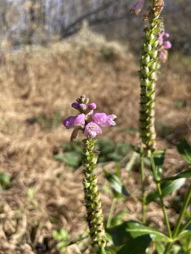
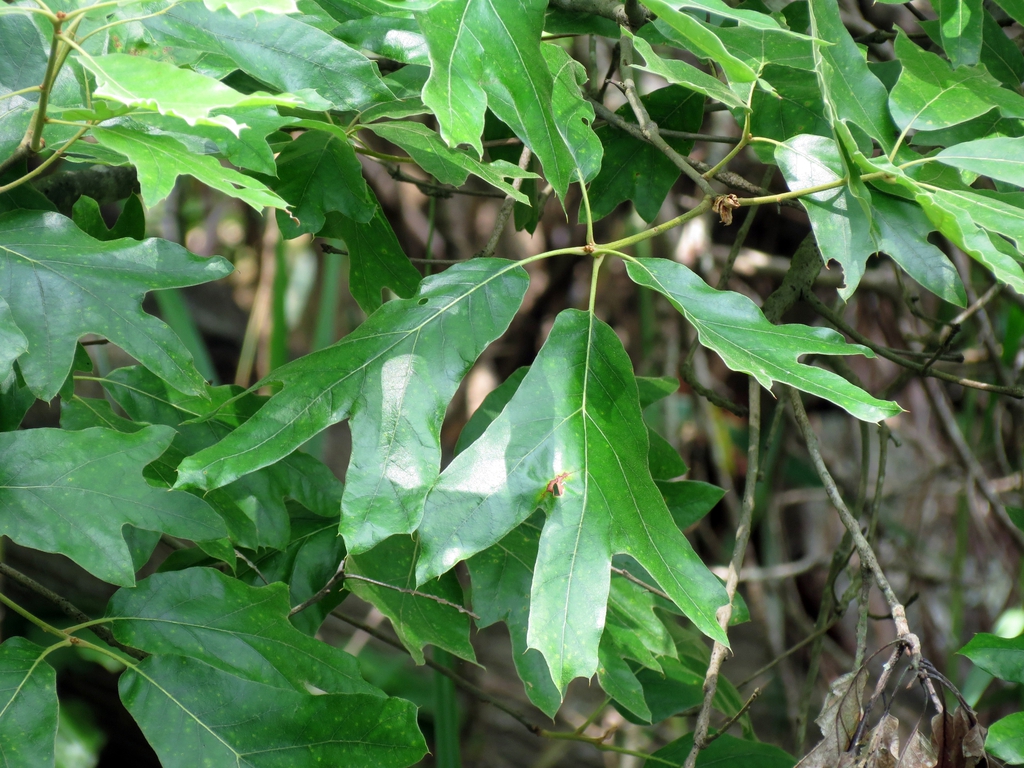
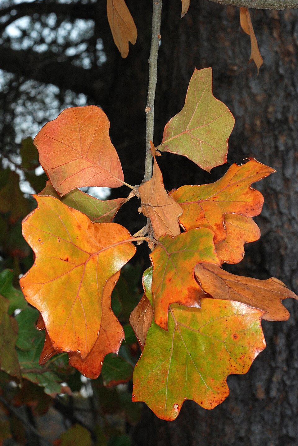
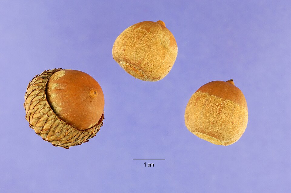
Plants 624
Plants named in NatureServe descriptions of these habitats that grow in Arkansas. Shared habitat, not food.
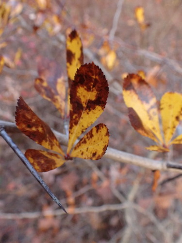
- Cockspur HawthornCrataegus crus-galli
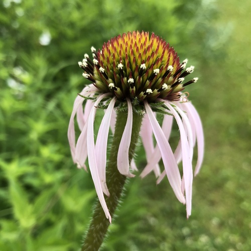
- Pale Purple ConeflowerEchinacea pallida
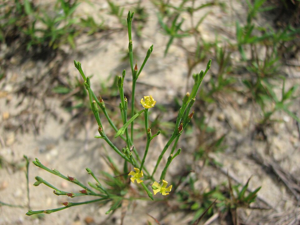
- PineweedHypericum gentianoides
- Grassleaf RushJuncus marginatus
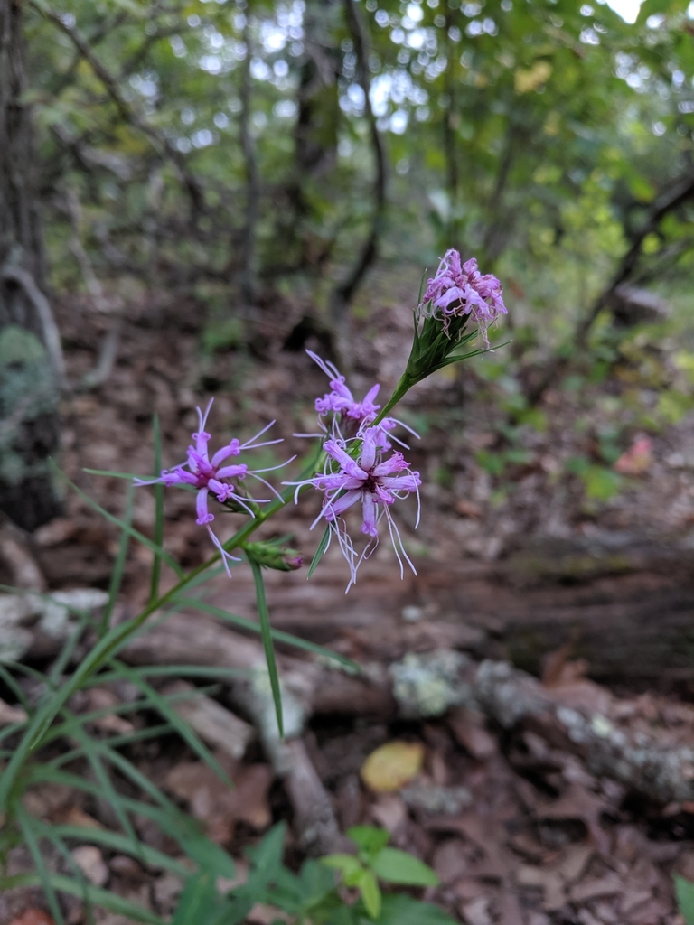
- Barrelhead Blazing StarLiatris cylindracea
- Matelea baldwynianaMatelea baldwyniana
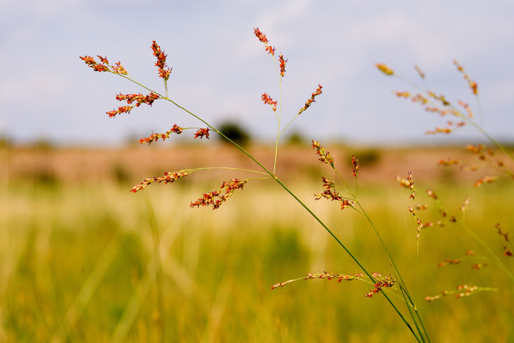
- Beaked PanicgrassPanicum anceps
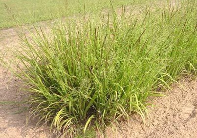
- SwitchgrassPanicum virgatum
- Cobaea BeardtonguePenstemon cobaea
- Obedient-plantPhysostegia virginiana
- Southern Red OakQuercus falcata
- Blackjack OakQuercus marilandica
- Black OakQuercus velutina
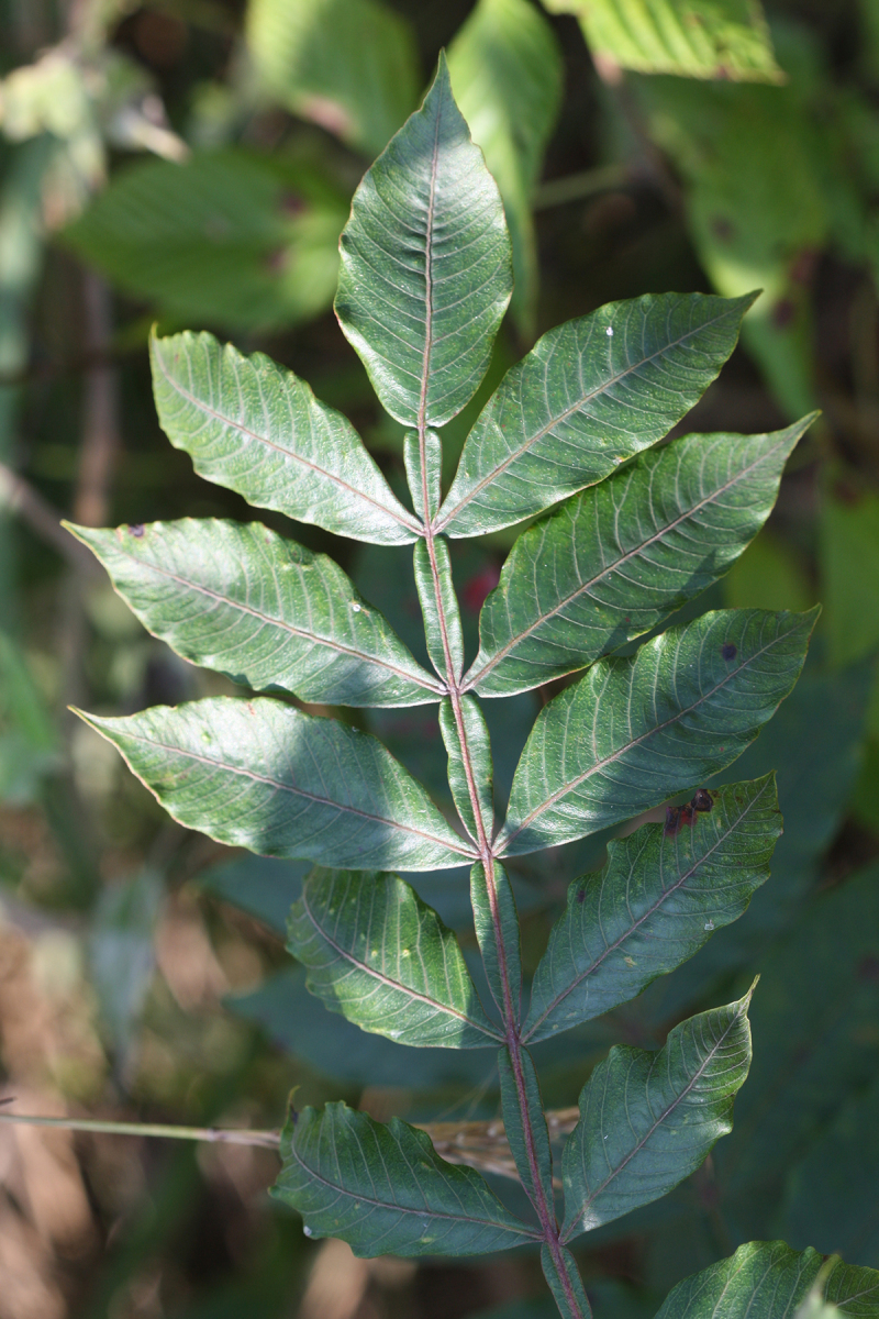
- Winged SumacRhus copallinum
- Missouri Orange ConeflowerRudbeckia missouriensis
- Compass PlantSilphium laciniatum
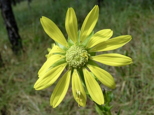
- Prairie DockSilphium terebinthinaceum
- Prairie CordgrassSpartina pectinata
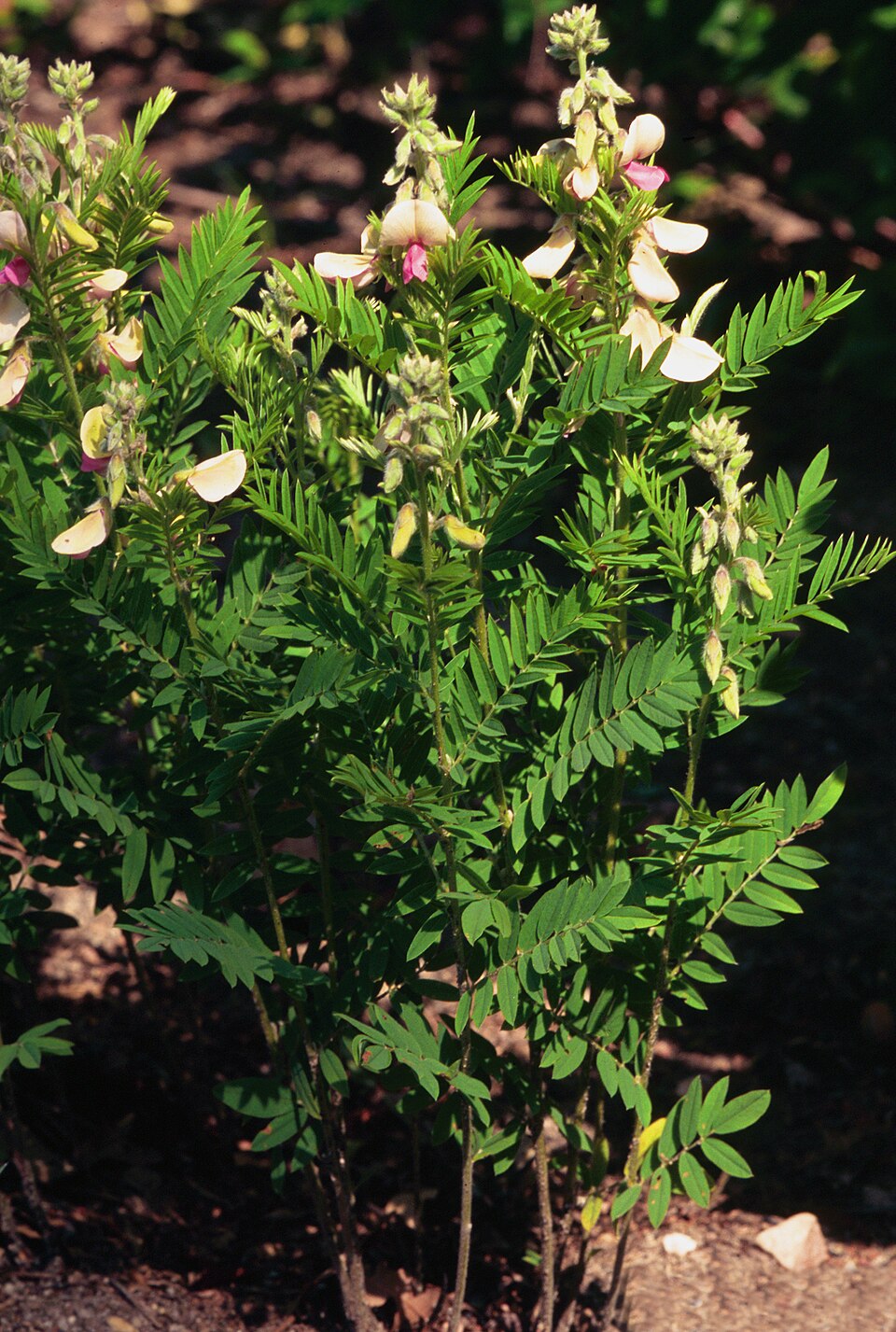
- Goat's-rueTephrosia virginiana
- Eastern GamagrassTripsacum dactyloides
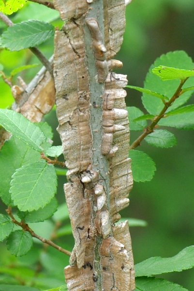
- Winged ElmUlmus alata
- Draba apricaAbdra aprica
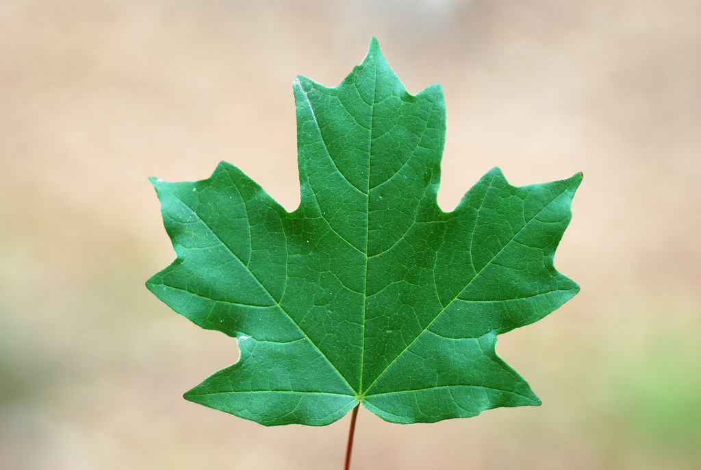
- Florida MapleAcer floridanum
Wildlife 235
Other animals whose habitat models include the same habitats in Arkansas. Not sighting records.
- Chimney SwiftChaetura pelagica
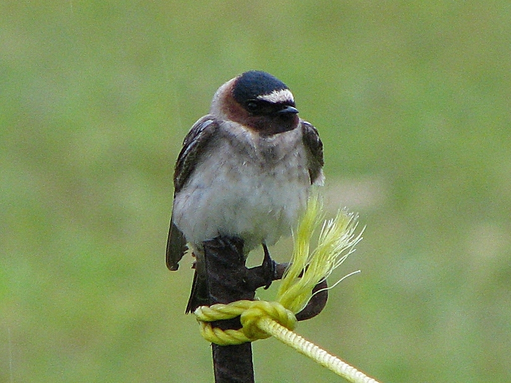
- Cliff SwallowPetrochelidon pyrrhonota
- Common NighthawkChordeiles minor
- Eastern KingbirdTyrannus tyrannus
- Great Horned OwlBubo virginianus
- American GoldfinchCarduelis tristis
- American RobinTurdus migratorius
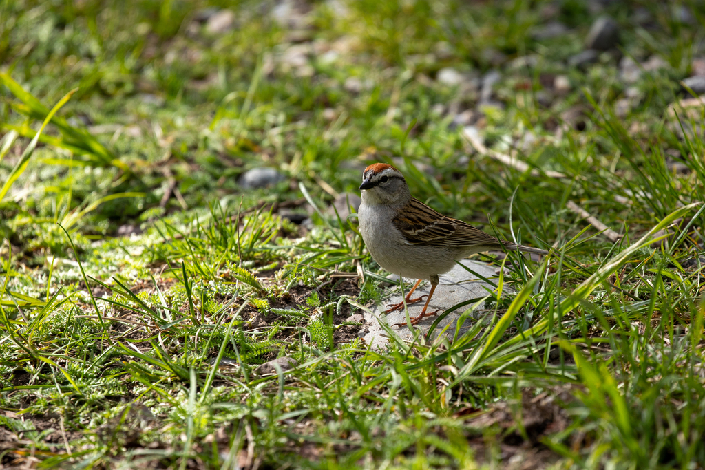
- Chipping SparrowSpizella passerina
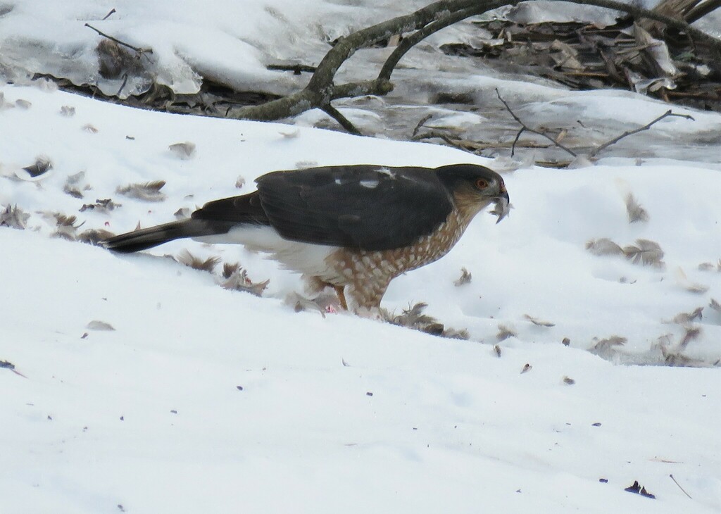
- Cooper's HawkAccipiter cooperii
- Eastern PhoebeSayornis phoebe
- Eastern Screech-owlMegascops asio
- European StarlingSturnus vulgaris
- Orchard OrioleIcterus spurius
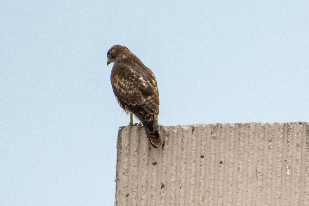
- Red-tailed HawkButeo jamaicensis
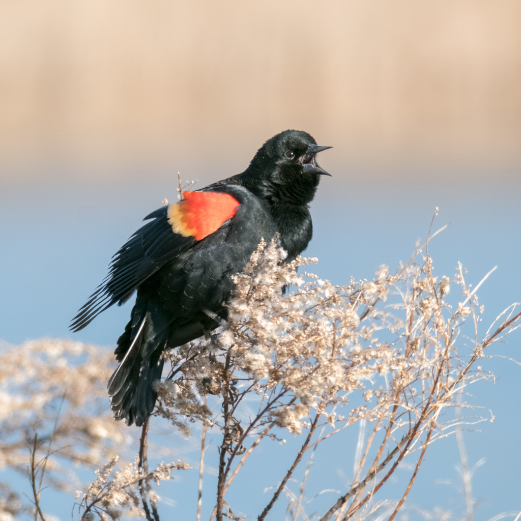
- Red-winged BlackbirdAgelaius phoeniceus
- Sharp-shinned HawkAccipiter striatus
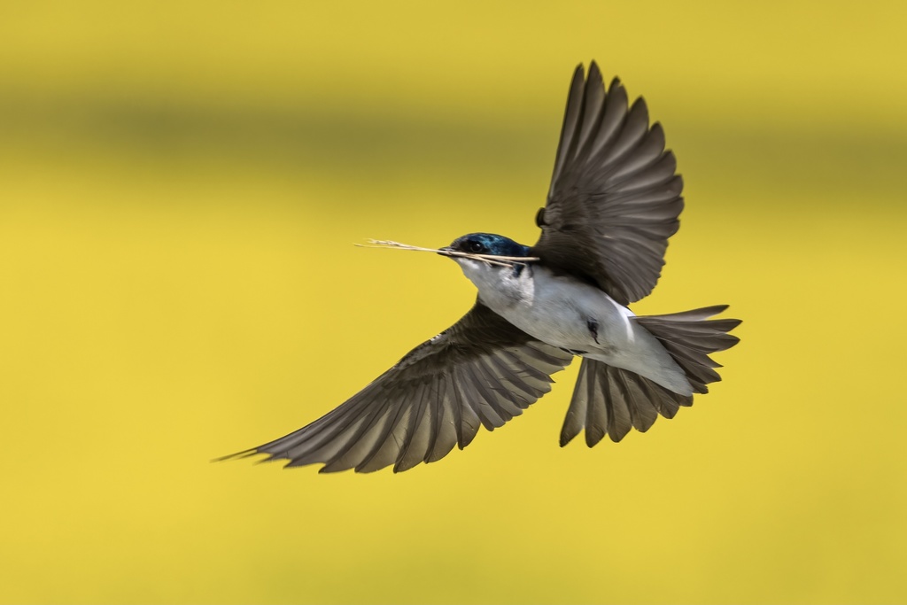
- Tree SwallowTachycineta bicolor
- Turkey VultureCathartes aura
- Yellow-breasted ChatIcteria virens
- American CrowCorvus brachyrhynchos
- American KestrelFalco sparverius
- Belted KingfisherMegaceryle alcyon
- Bewick's WrenThryomanes bewickii
- Black-crowned Night-heronNycticorax nycticorax







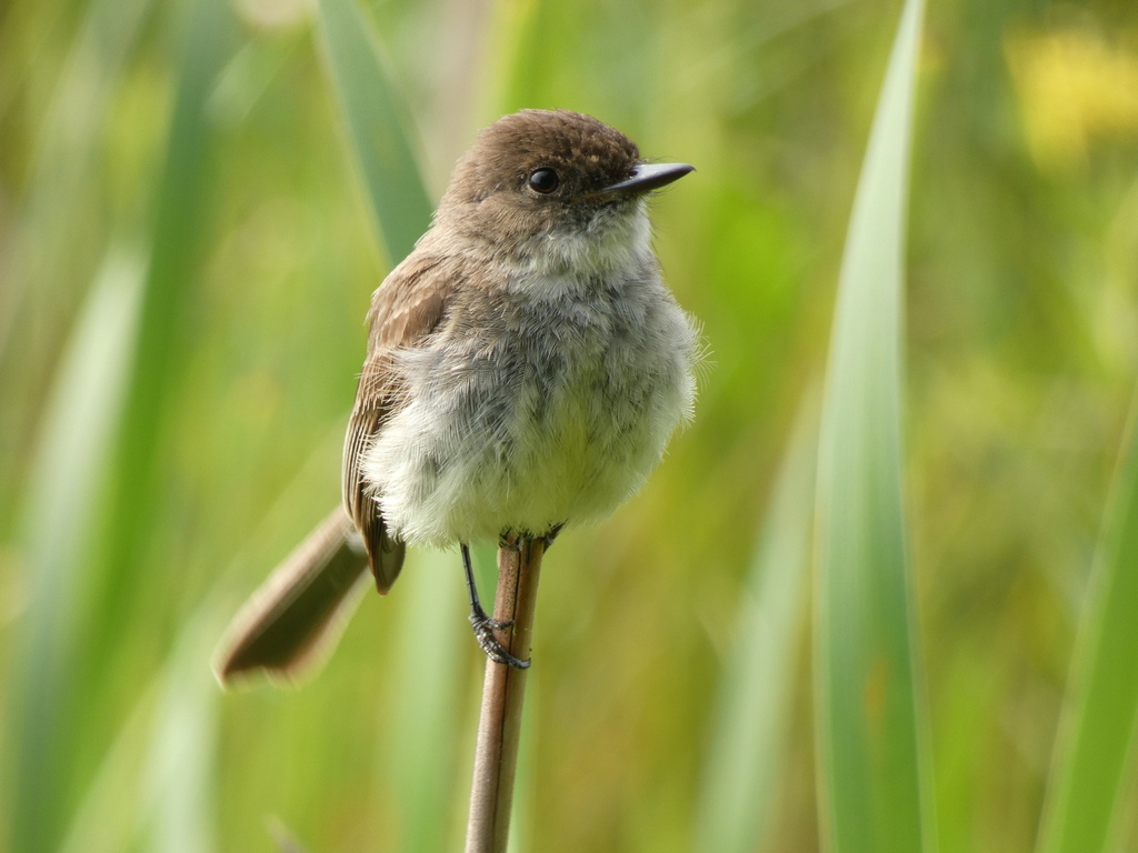
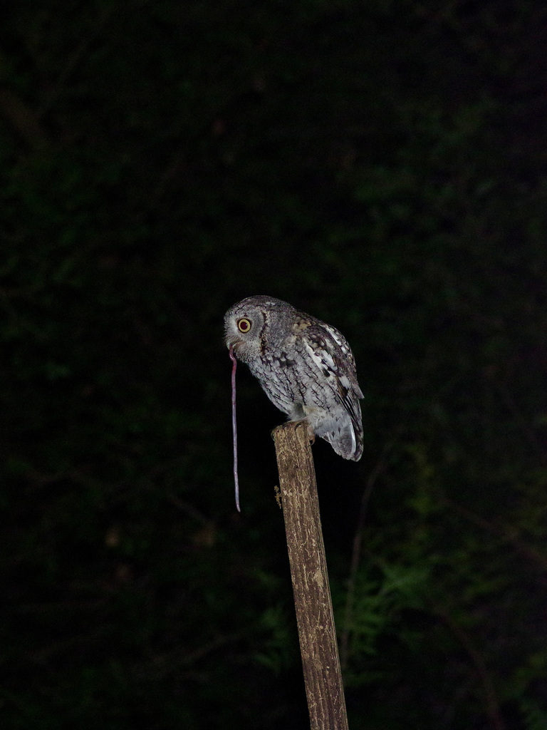
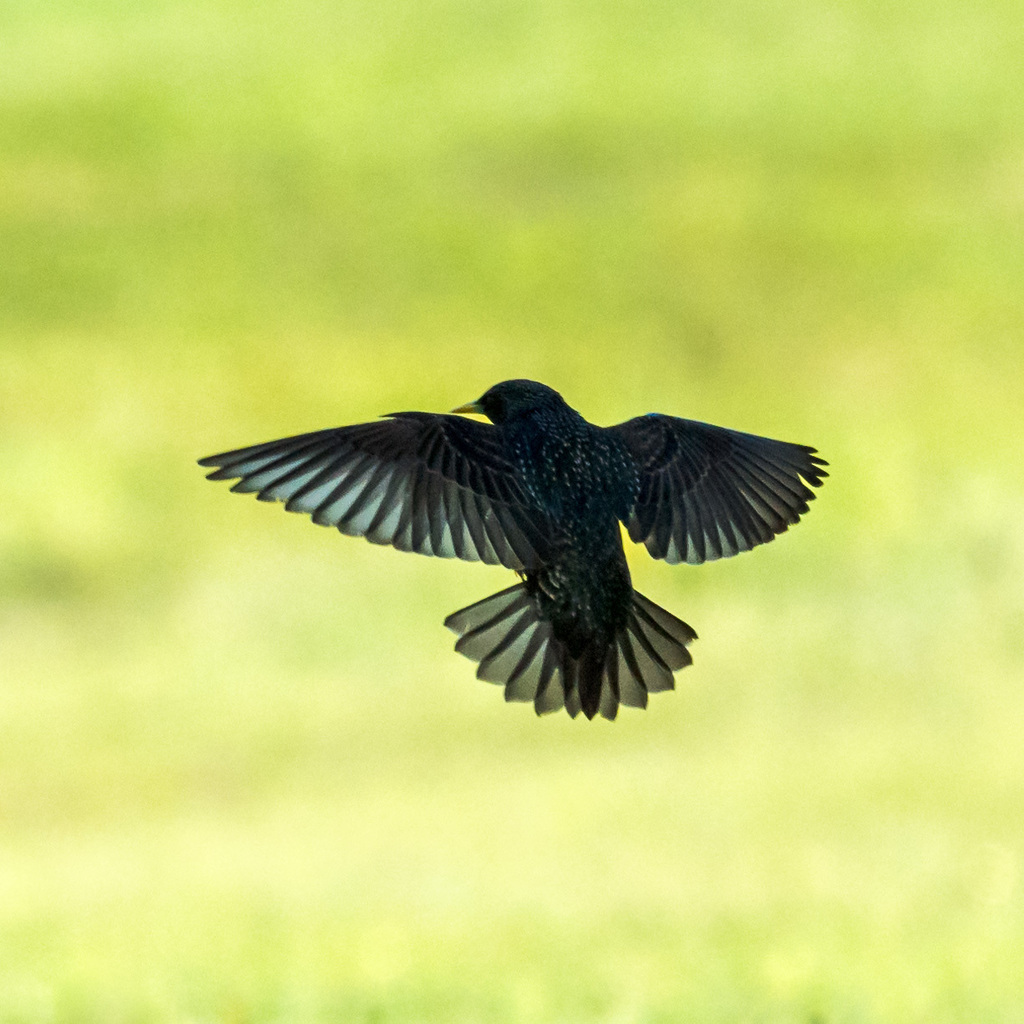
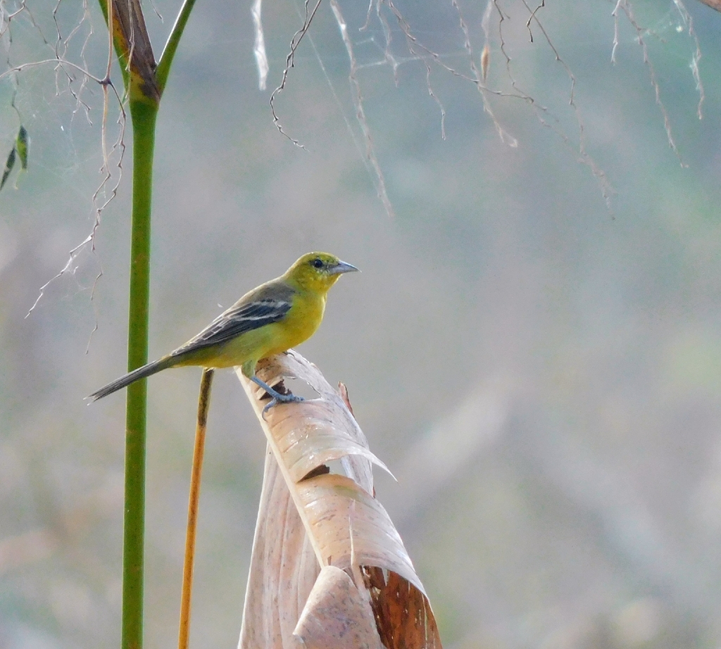
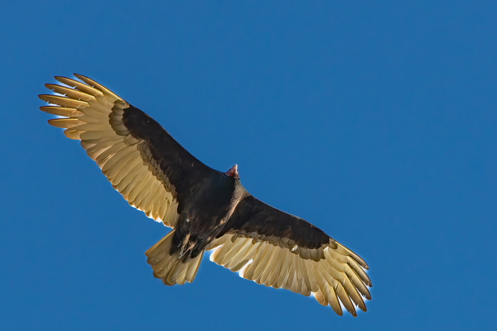
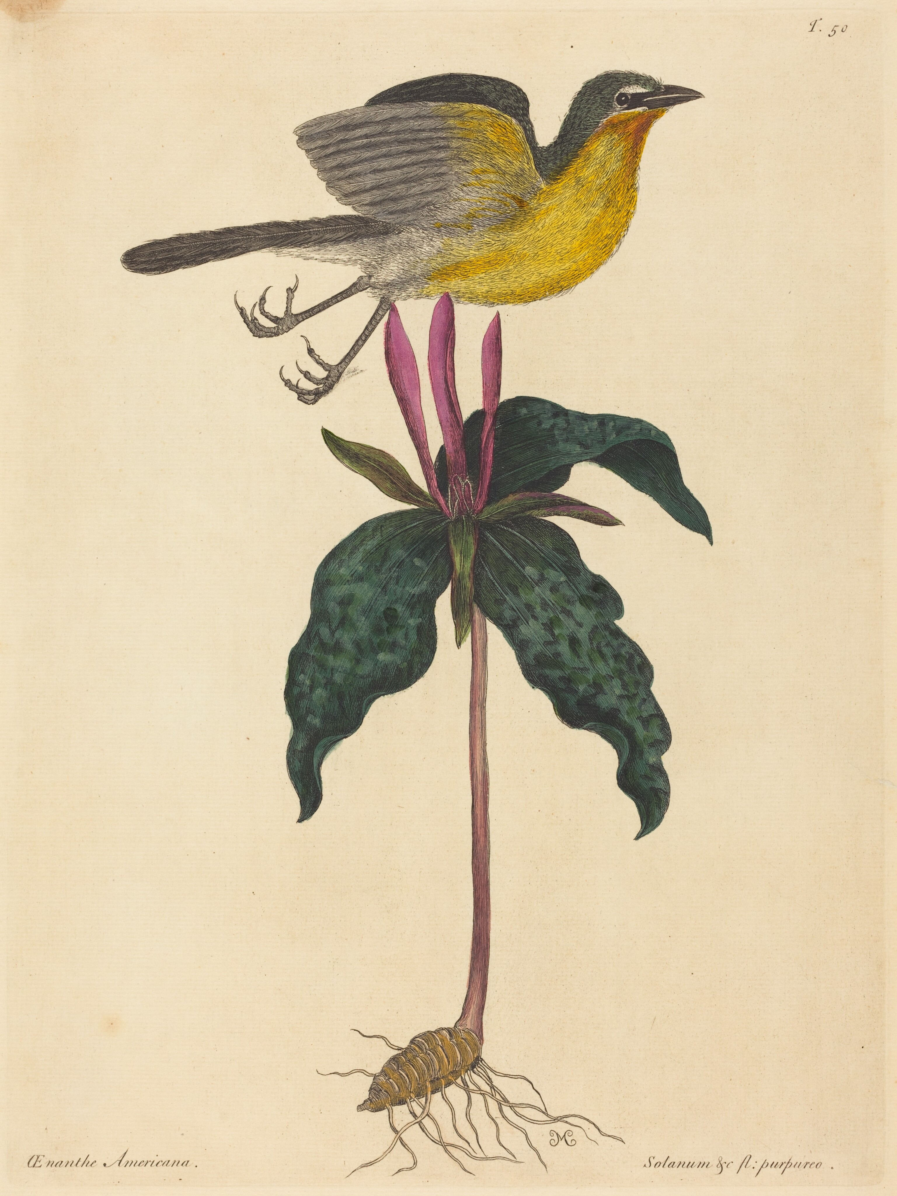

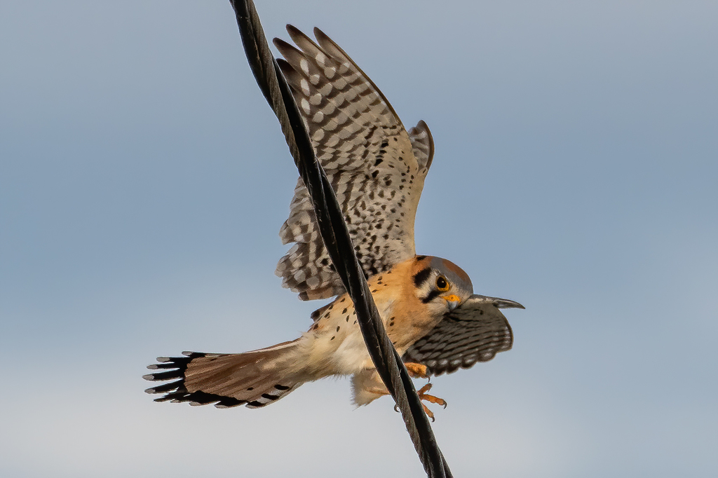
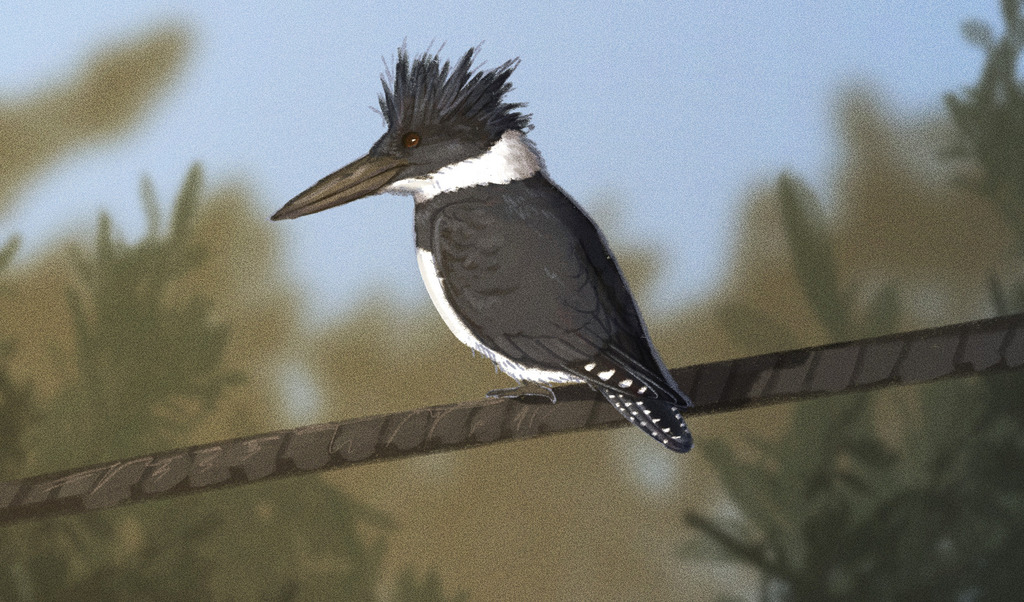
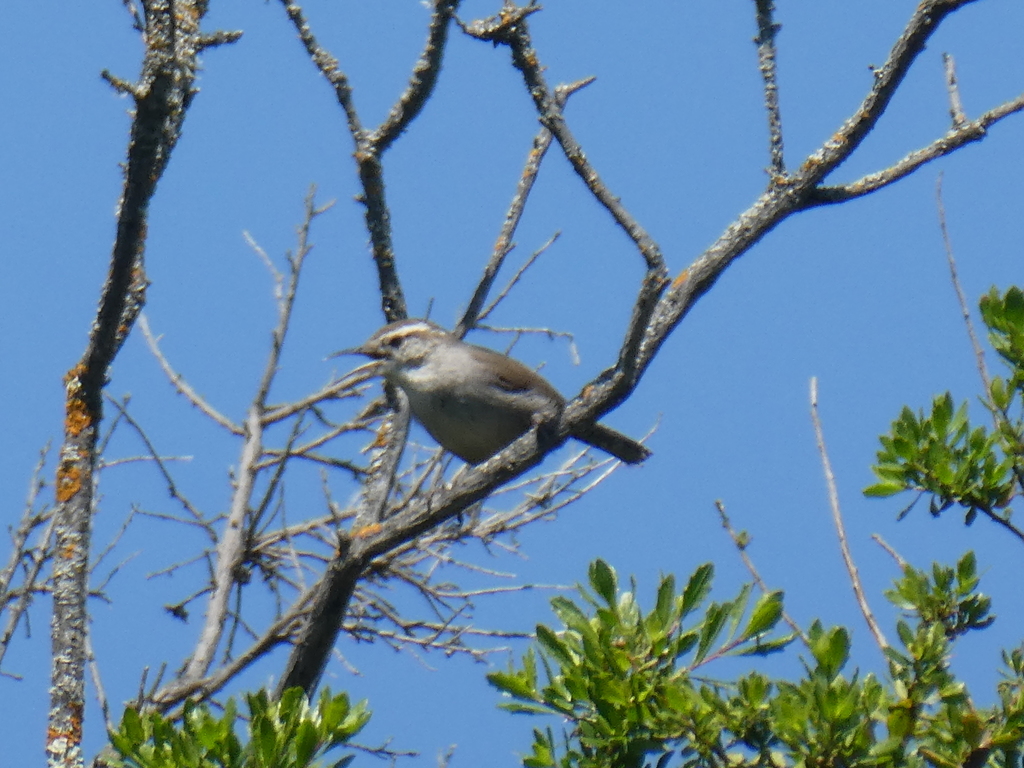

NatureServe Explorer, CC BY 4.0. USGS Gap Analysis Project habitat models.
Sources
- USGS Gap Analysis Project habitat models (2001)
- USGS GAP summer habitat model for Bank Swallow Elevation up to 2,439 m
- USGS Gap Analysis Project range maps (2001), modeled by watershed; migratory gives no dates
- NatureServe Explorer (CC BY 4.0), habitat names
- US Census TIGER/Line counties
- Names follow the USGS Gap Analysis Project (2001)