

Bird
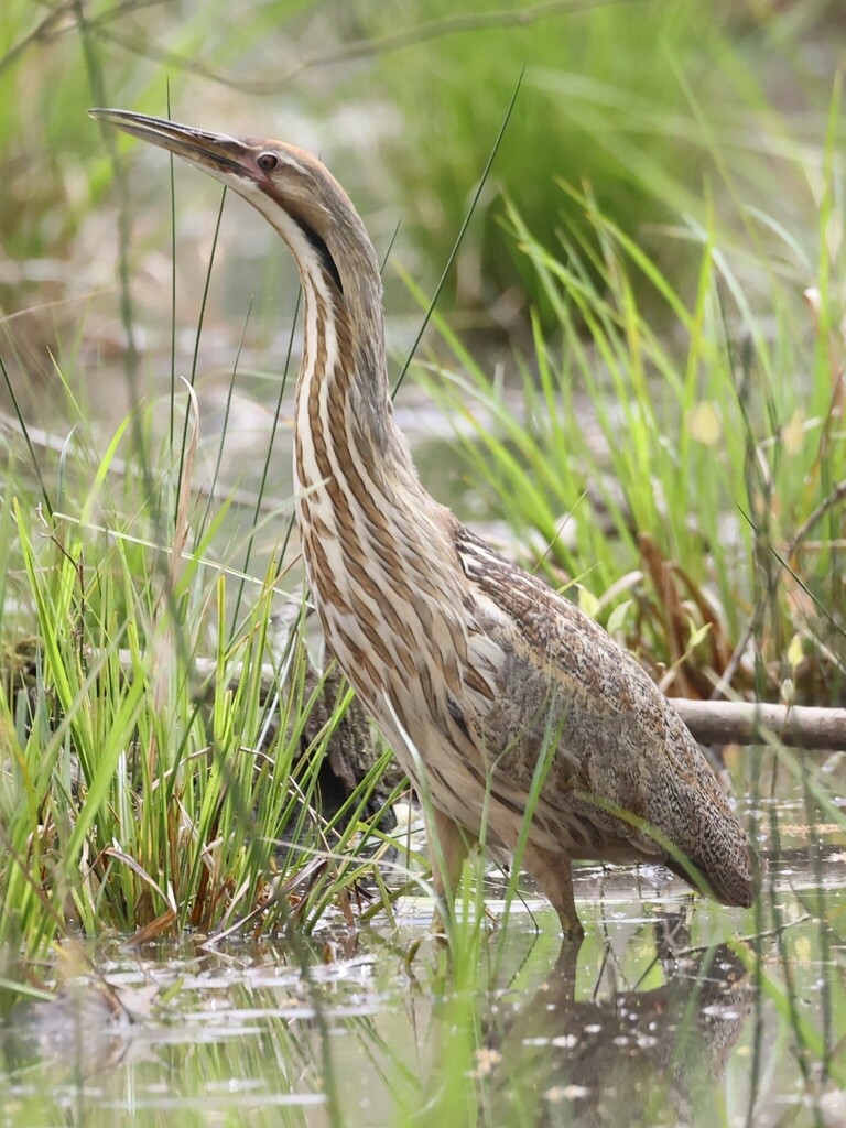
American Bittern
Botaurus lentiginosus
Passes through Arkansas on migration. Found in all 75 counties, across 4 habitats.
- Here
- On migration
- Nesting
- Not known to nest here
- Range
- All 75 counties
- Habitats
- 4
At a glance
- Group
- Birds
- Here
- On migration
- Nesting
- Not known to nest here
- Range
- All 75 counties
- Habitats
- 4
- Habitat models
- Summer, Winter
Where it lives
The places its habitat model includes. It is not found everywhere a habitat occurs.
Habitats in Arkansas 4
Each habitat page lists the plants and wildlife also found there.
Disturbed and introduced wetlands
Wet ground taken over by weedy or introduced plants after disturbance, such as common reed, Chinese tallow or tamarisk stands; the upland counterpart is roadsides, fields and disturbed ground.
Still water and its edges: ponds, lakes, millponds and reservoirs.
Open, grass-dominated places kept open by fire, grazing or thin soil, from tallgrass prairie to Piedmont prairies.
Roadsides, fields and disturbed ground
Ground opened by people: roadsides, old fields, pastures, fencerows and lots.
Other habitats in its models (53)
Land cover, or classes with no habitat page in Arkansas. Those recorded in Arkansas first, the rest by region.
In Arkansas 1
- West Gulf Coastal Plain Nepheline Syenite Glade Winter, only within 500 m of water.
Elsewhere in the South (23)
- Atlantic and Gulf Coastal Plain Interdunal Wetland Winter.
- Atlantic Coastal Plain Central Fresh-Oligohaline Tidal Marsh Summer and winter.
- Atlantic Coastal Plain Central Salt and Brackish Tidal Marsh Winter.
- Atlantic Coastal Plain Embayed Region Tidal Freshwater Marsh Summer and winter.
- Atlantic Coastal Plain Embayed Region Tidal Salt and Brackish Marsh Winter.
- Atlantic Coastal Plain Indian River Lagoon Tidal Marsh Winter.
- Atlantic Coastal Plain Large Natural Lakeshore Summer and winter.
- Atlantic Coastal Plain Southern Dune and Maritime Grassland Winter.
- Central and Upper Texas Coast Dune and Coastal Grassland Winter.
- Central Florida Herbaceous Pondshore Winter.
- Central Florida Herbaceous Seep Winter.
- East Gulf Coastal Plain Dune and Coastal Grassland Winter.
- East Gulf Coastal Plain Savanna and Wet Prairie Winter.
- Florida Big Bend Fresh-Oligohaline Tidal Marsh Winter.
- Florida Big Bend Salt-Brackish Tidal Marsh Winter.
- Floridian Highlands Freshwater Marsh Winter.
- Mississippi Sound Salt and Brackish Tidal Marsh Winter.
- South Florida Everglades Sawgrass Marsh Winter.
- South Florida Freshwater Slough and Gator Hole Winter.
- South Florida Wet Marl Prairie Winter.
- Southwest Florida Dune and Coastal Grassland Winter.
- Texas Saline Coastal Prairie Winter.
- Texas-Louisiana Coastal Prairie Winter, only within 500 m of water.
Northeast (4)
- Atlantic Coastal Plain Northern Fresh and Oligohaline Tidal Marsh Summer and winter.
- Atlantic Coastal Plain Northern Tidal Salt Marsh Winter.
- Northern Atlantic Coastal Plain Dune and Swale Winter.
- Northern Atlantic Coastal Plain Heathland and Grassland Winter, only within 500 m of water.
Land cover and other classes (25)
- Atlantic Coastal Plain Clay-Based Carolina Bay Herbaceous Wetland Summer.
- Atlantic Coastal Plain Depression Pondshore Summer and winter.
- Central Interior and Appalachian Shrub-Herbaceous Wetland Systems Summer.
- East Gulf Coastal Plain Black Belt Calcareous Prairie and Woodland - Herbaceous Modifier Winter, only within 500 m of water.
- East Gulf Coastal Plain Large River Floodplain Forest - Herbaceous Modifier Winter.
- East Gulf Coastal Plain Southern Depression Pondshore Winter.
- Gulf and Atlantic Coastal Plain Tidal Marsh Systems Winter.
- Harvested Forest - Grass/Forb Regeneration Winter, only within 500 m of water.
- Introduced Upland Vegetation - Annual Grassland Winter, only within 500 m of water.
- Introduced Upland Vegetation - Forbland Winter, only within 500 m of water.
- Introduced Upland Vegetation - Perennial Grassland Winter, only within 500 m of water.
- Introduced Upland Vegetation - Perennial Grassland and Forbland Winter, only within 500 m of water.
- Modified/Managed Southern Tall Grassland Winter, only within 500 m of water.
- Open Water (Aquaculture) Summer and winter.
- Open Water (Brackish/Salt) Summer and winter.
- Recently Burned Winter, only within 500 m of water.
- Recently Burned Forest Winter, only within 500 m of water.
- Recently Burned Grassland Winter, only within 500 m of water.
- Recently Logged Areas Winter, only within 500 m of water.
- South Texas Dune and Coastal Grassland Winter.
- South-Central Interior Large Floodplain - Herbaceous Modifier Summer and winter.
- Texas-Louisiana Coastal Prairie Slough Winter.
- Unconsolidated Shore Summer and winter.
- Unconsolidated Shore (Beach/Dune) Summer and winter.
- Unconsolidated Shore (Lake/River/Pond) Summer and winter.
Seasons in Arkansas
- Migratory: does not nest here, in all 75 counties.
Also found in its main habitats
Its main habitats in Arkansas, by how much of its habitat model each one is, with the birds most characteristic of each and the plants that grow wild there. Shared habitat, not food.
Disturbed and introduced wetlands
Birds 121
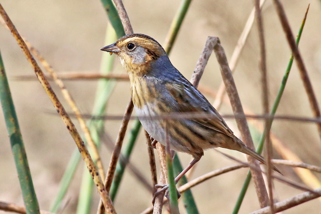
- Nelson's Sharp-tailed SparrowAmmodramus nelsoni
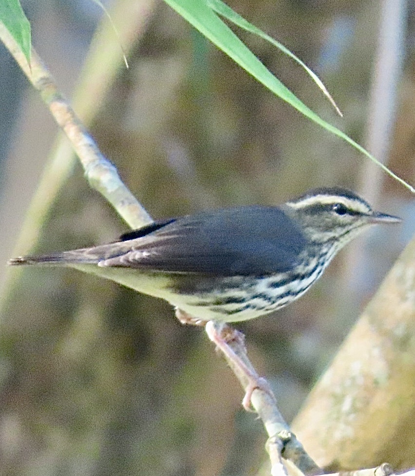
- Northern WaterthrushSeiurus noveboracensis
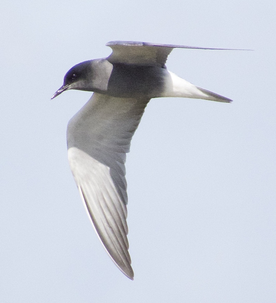
- Black TernChlidonias niger
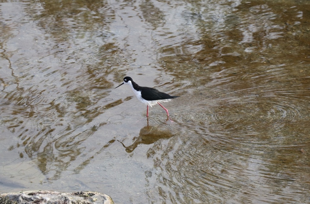
- Black-necked StiltHimantopus mexicanus
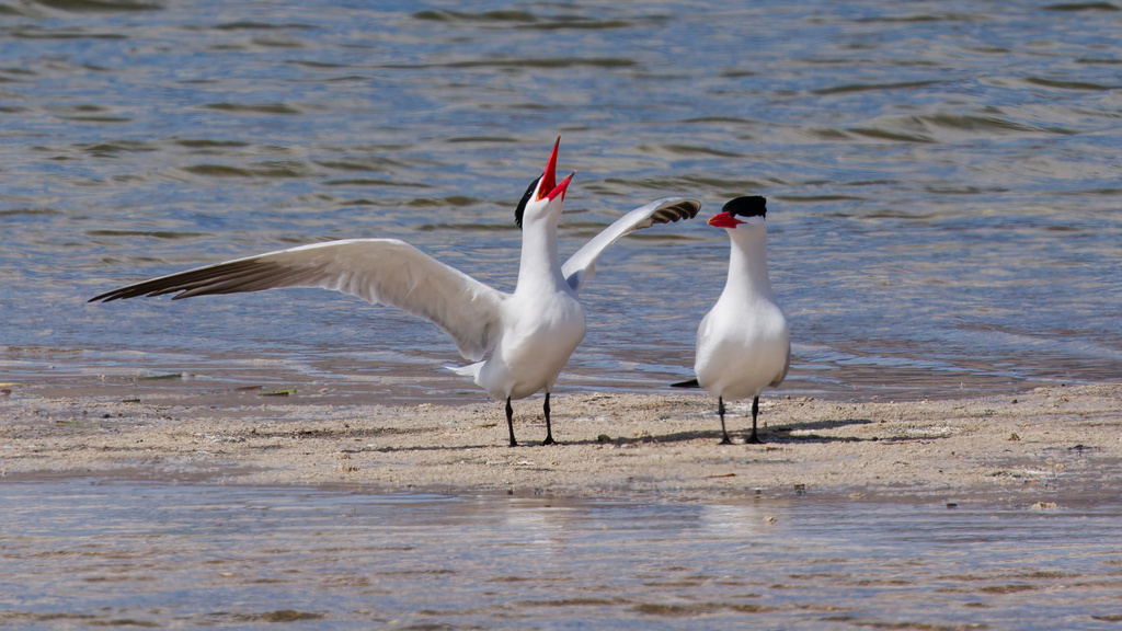
- Caspian TernHydroprogne caspia
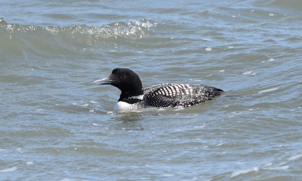
- Common LoonGavia immer
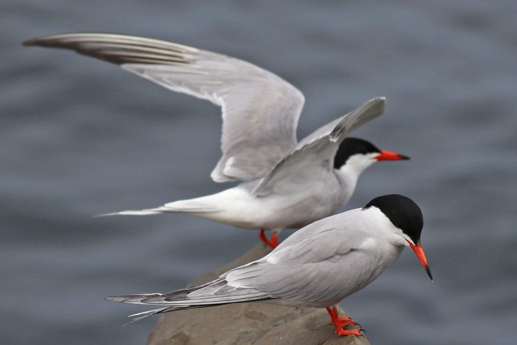
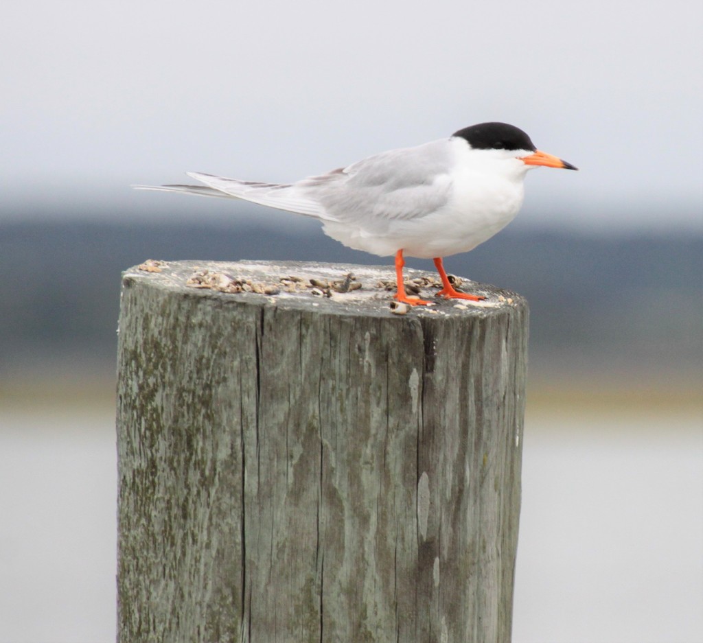
- Common TernSterna hirundo
- Forster's TernSterna forsteri
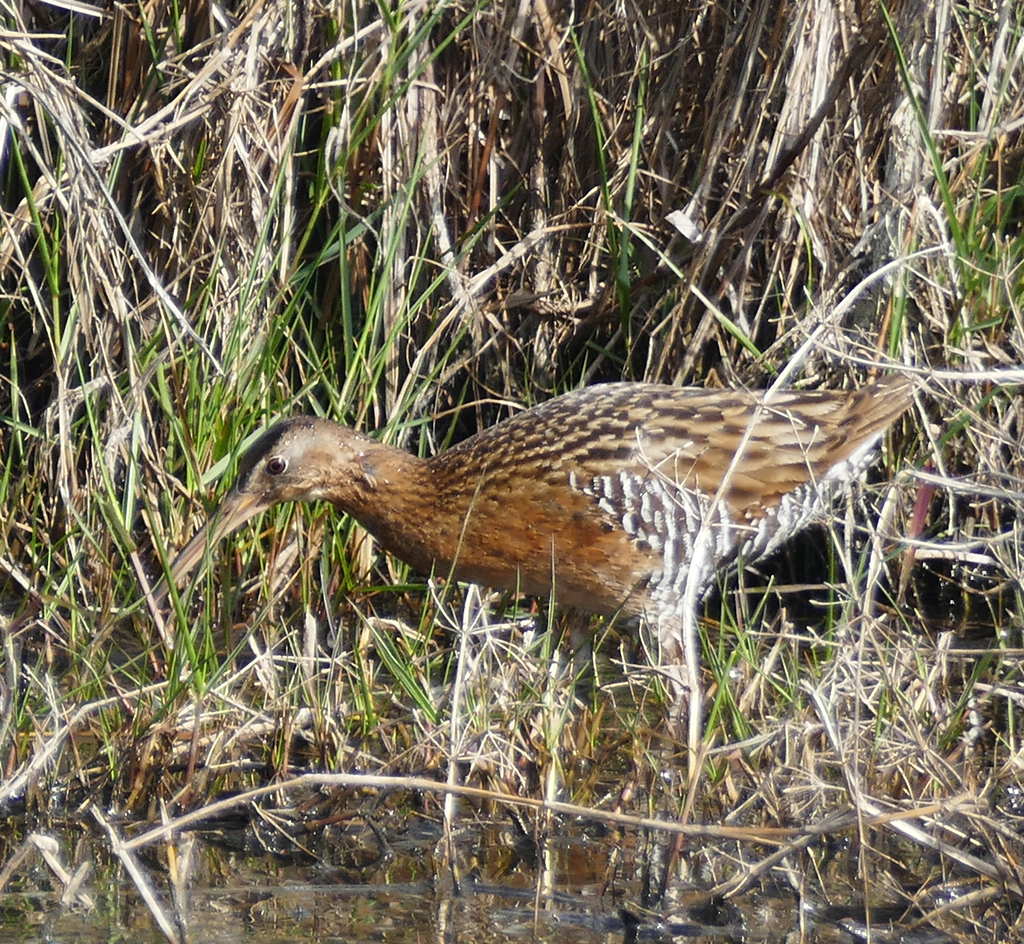
- King RailRallus elegans
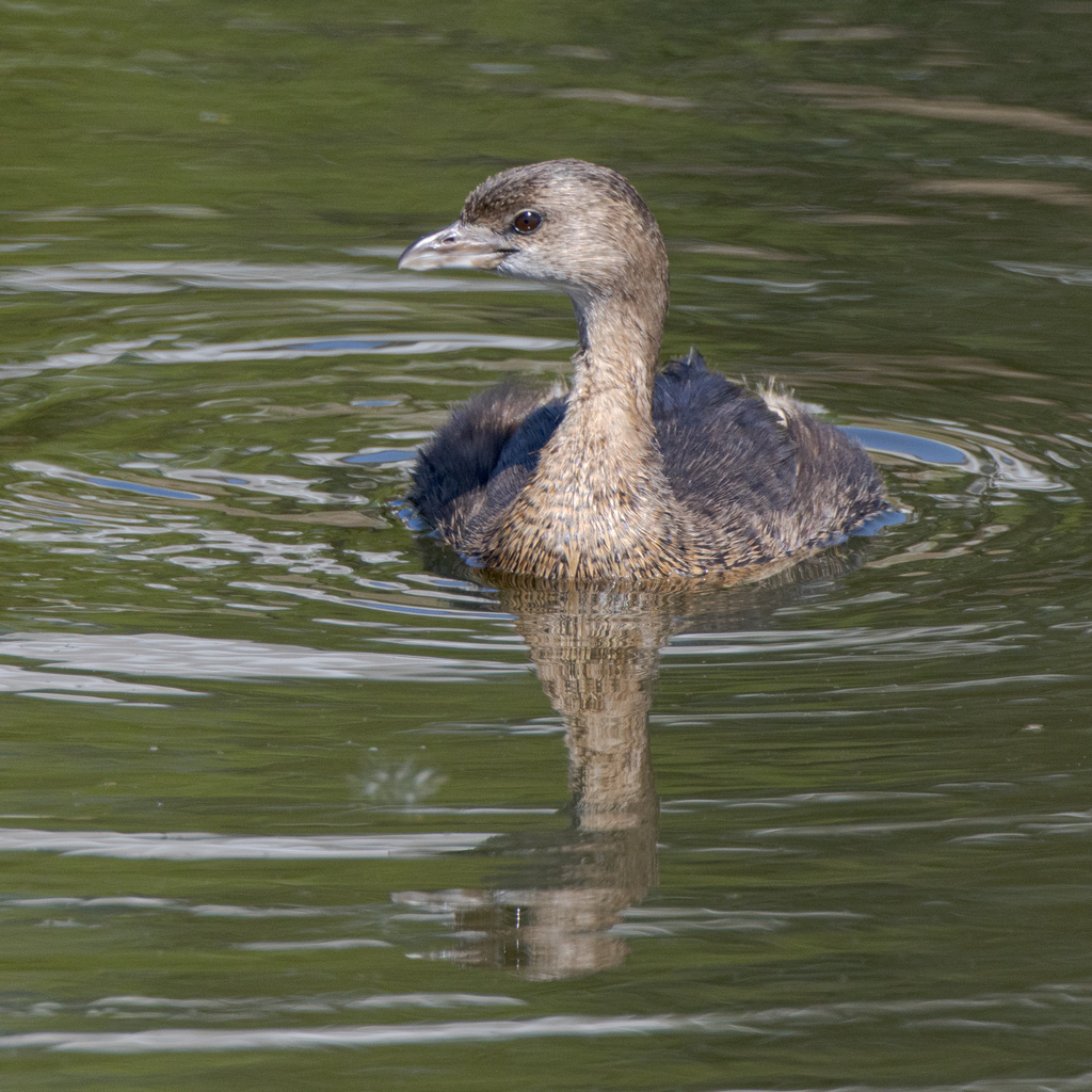
- Pied-billed GrebePodilymbus podiceps
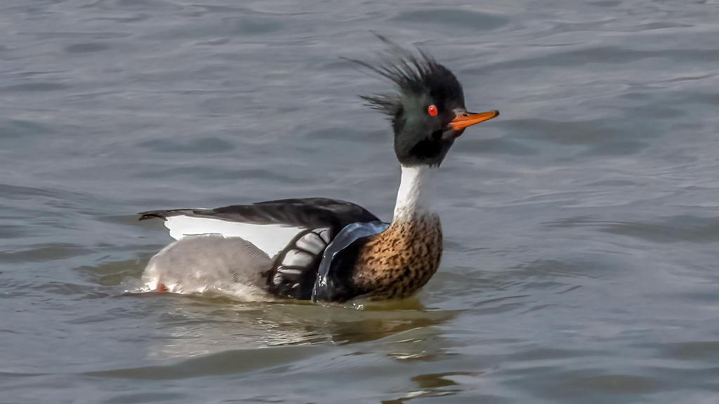
- Red-breasted MerganserMergus serrator
- Western SandpiperCalidris mauri
Plants 17
- Slender FimbryFimbristylis autumnalis
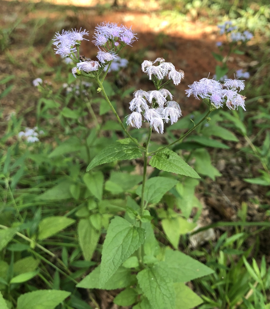
- Blue MistflowerConoclinium coelestinum
- BagpodGlottidium vesicarium
- Oklahoma SedgeCarex oklahomensis
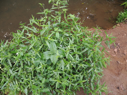
- False DaisyEclipta prostrata
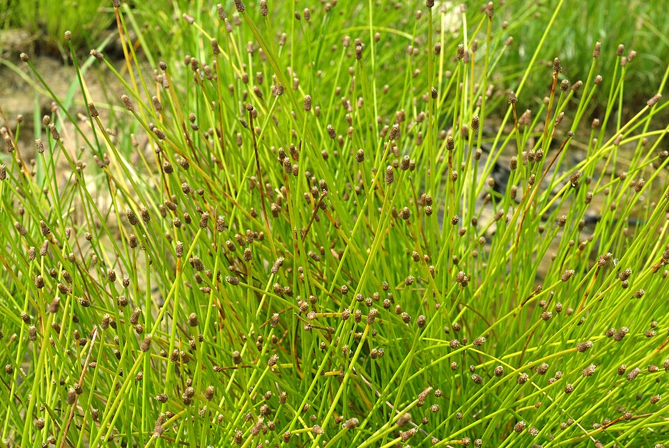
- Blunt Spike RushEleocharis obtusa
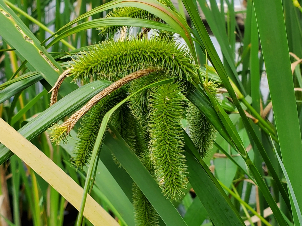
- Bristly SedgeCarex comosa
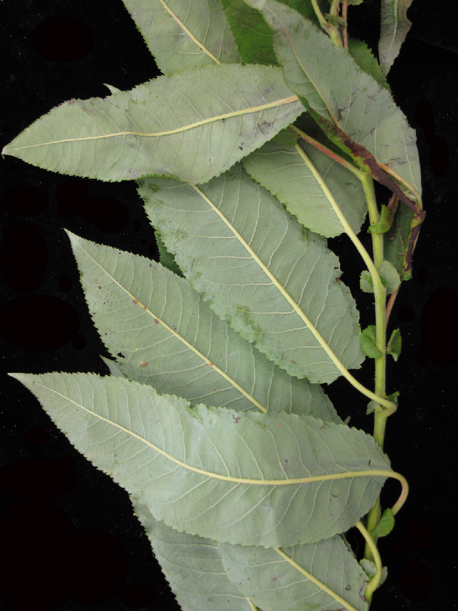
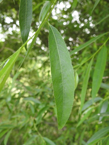
- Heart Leaf WillowSalix eriocephala
- Southern Marsh YellowcressRorippa teres
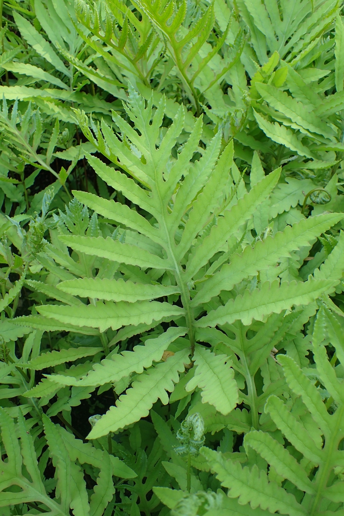
- Sensitive FernOnoclea sensibilis
- White WillowSalix alba
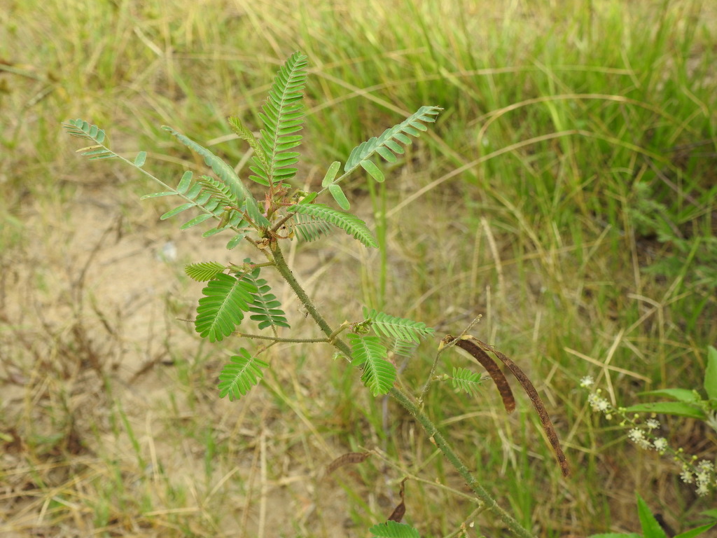
- Zigzag JointvetchAeschynomene rudis
Ponds, lakes and their shores
Birds 66
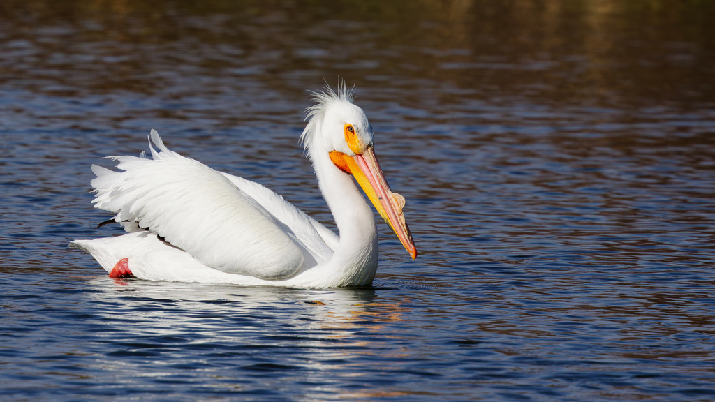
- American White PelicanPelecanus erythrorhynchos
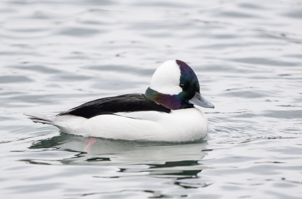
- BuffleheadBucephala albeola
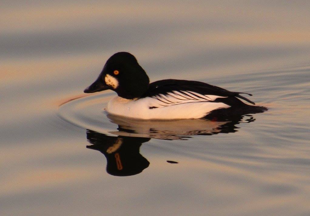
- Common GoldeneyeBucephala clangula
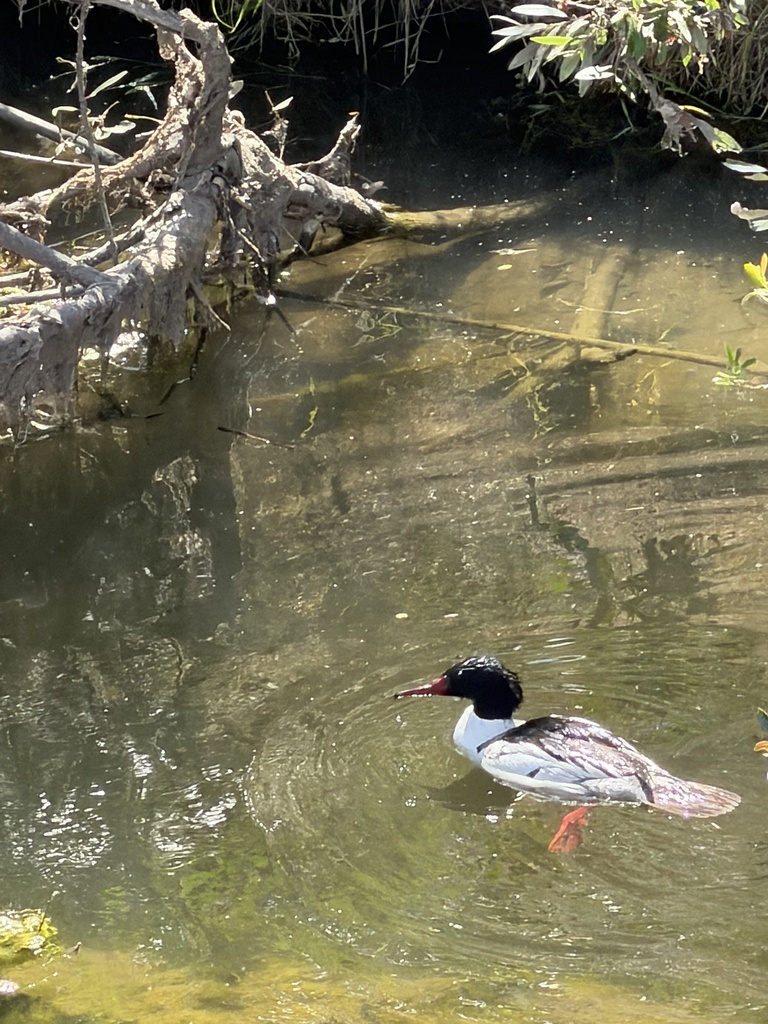
- Common MerganserMergus merganser
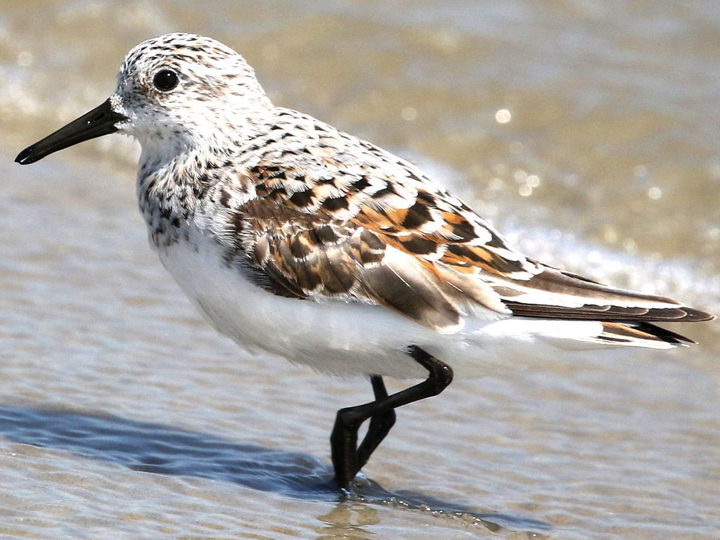
- SanderlingCalidris alba
- Black TernChlidonias niger
- Black-necked StiltHimantopus mexicanus
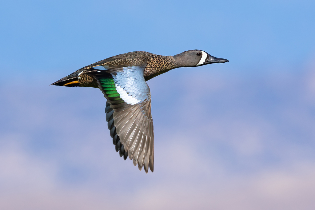
- Blue-winged TealAnas discors
- Caspian TernHydroprogne caspia
- Common LoonGavia immer
- Common TernSterna hirundo
- Forster's TernSterna forsteri
Plants 143
- Mudbank CrowngrassPaspalum dissectum
- Longbeak BeaksedgeRhynchospora scirpoides
- Sago PondweedStuckenia pectinata
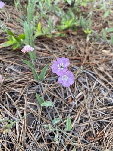
- Water DawnflowerStylisma aquatica
- Common BladderwortUtricularia macrorhiza
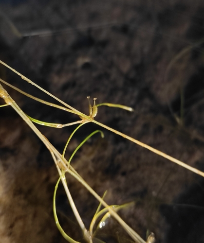
- Horned PondweedZannichellia palustris
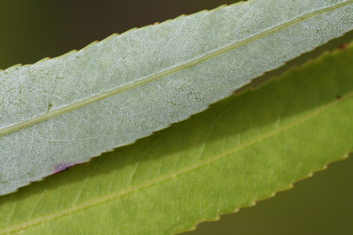
- Coastal Plain WillowSalix caroliniana
- Water TupeloNyssa aquatica
- Southern Marsh St. John's-wortTriadenum tubulosum
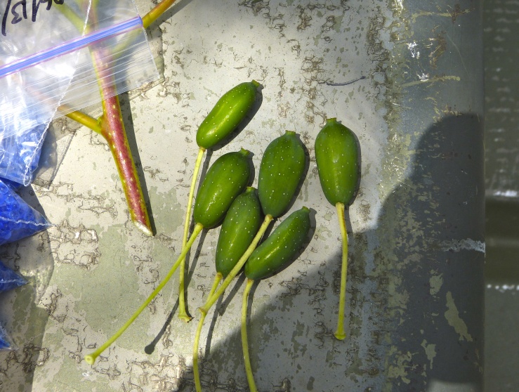
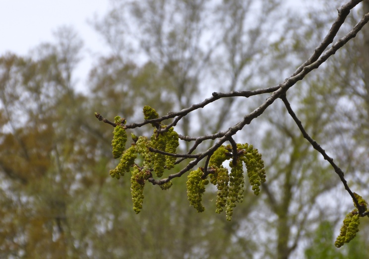
- Swamp CottonwoodPopulus heterophylla
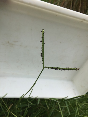
- KnotgrassPaspalum distichum
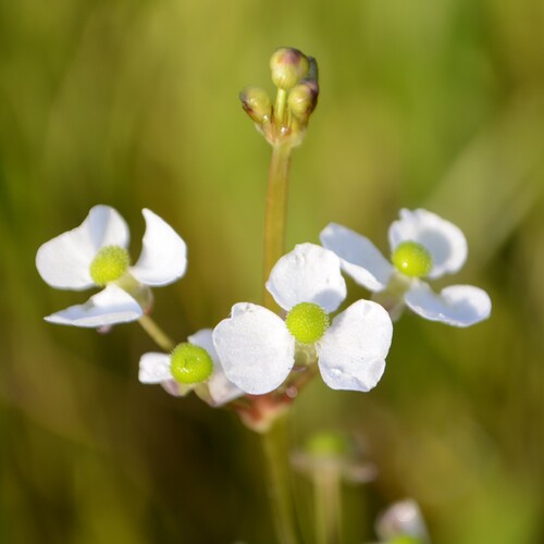
- Grassy ArrowheadSagittaria graminea
Roadsides, fields and disturbed ground
Birds 100
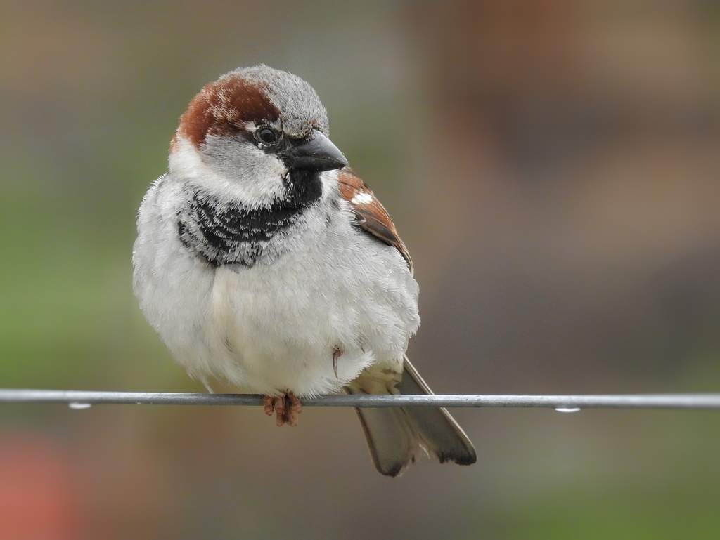
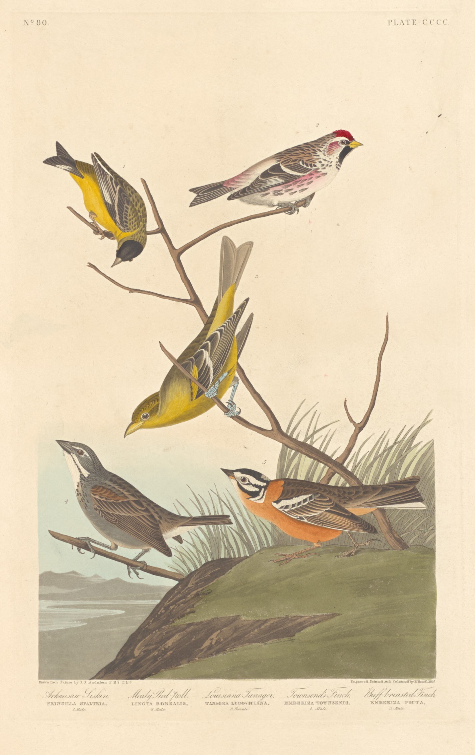
- House SparrowPasser domesticus
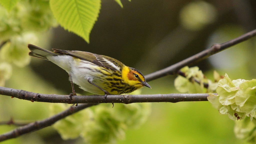
- Cape May WarblerDendroica tigrina
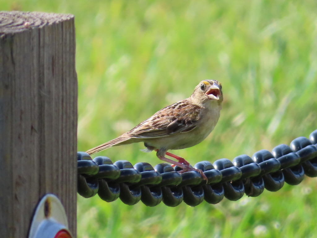
- Grasshopper SparrowAmmodramus savannarum
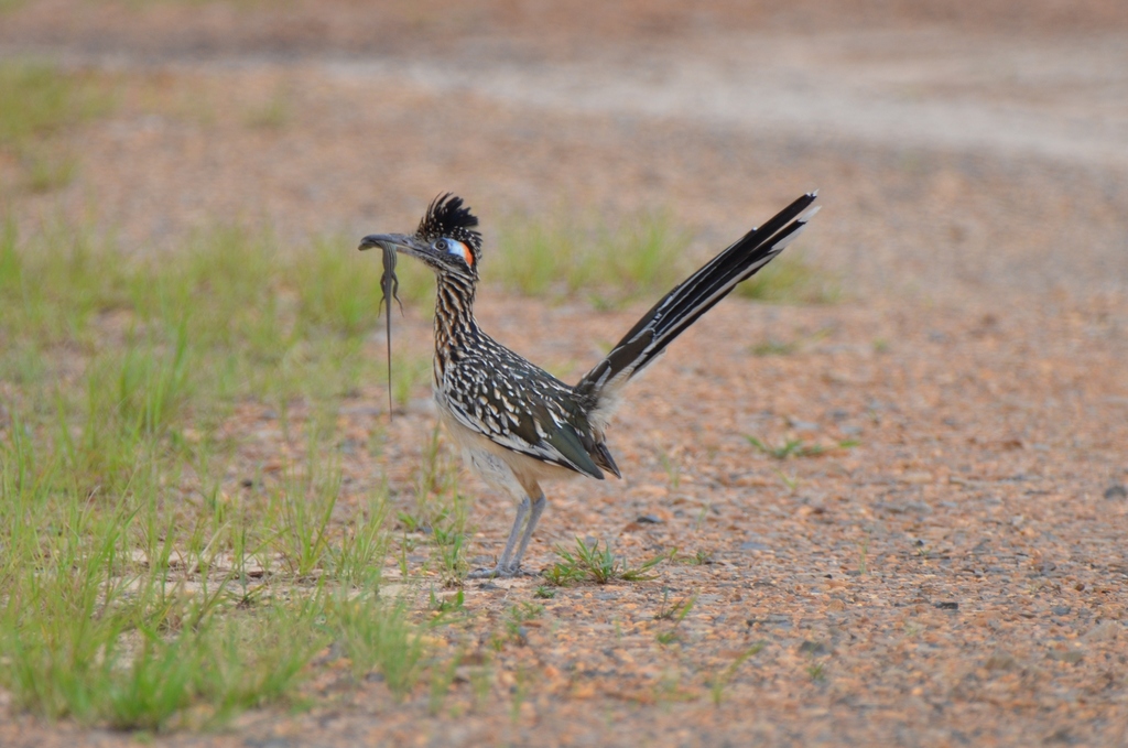
- Greater RoadrunnerGeococcyx californianus
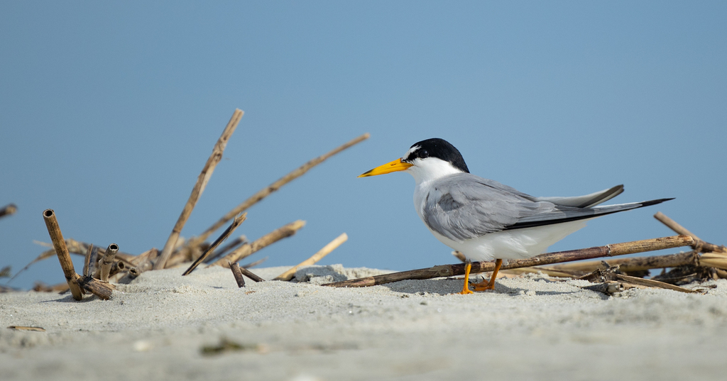
- Interior Least TernSternula antillarum athalassos
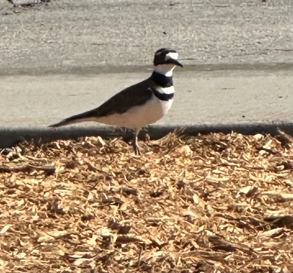
- KilldeerCharadrius vociferus
- Least TernSternula antillarum
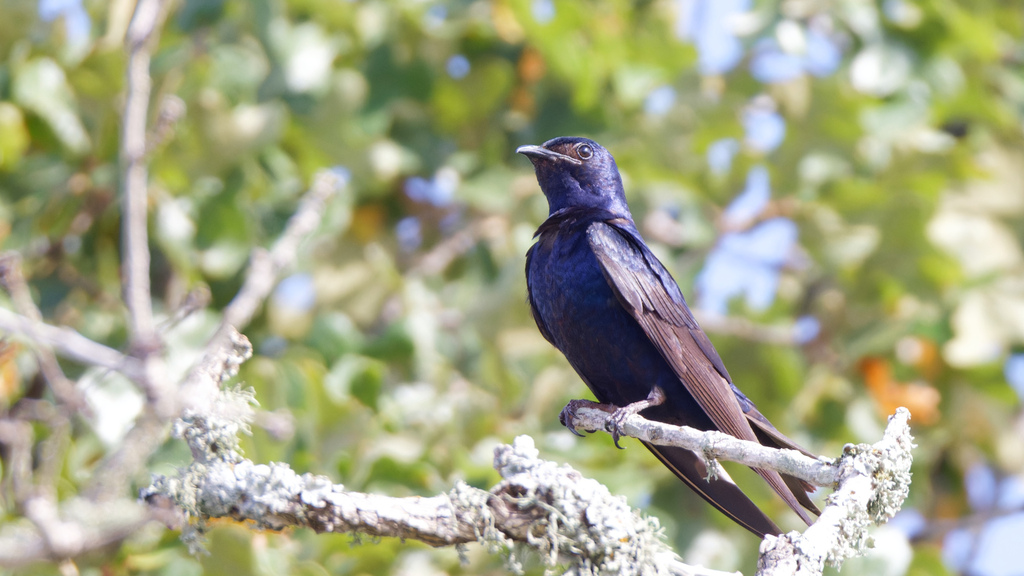
- Purple MartinProgne subis
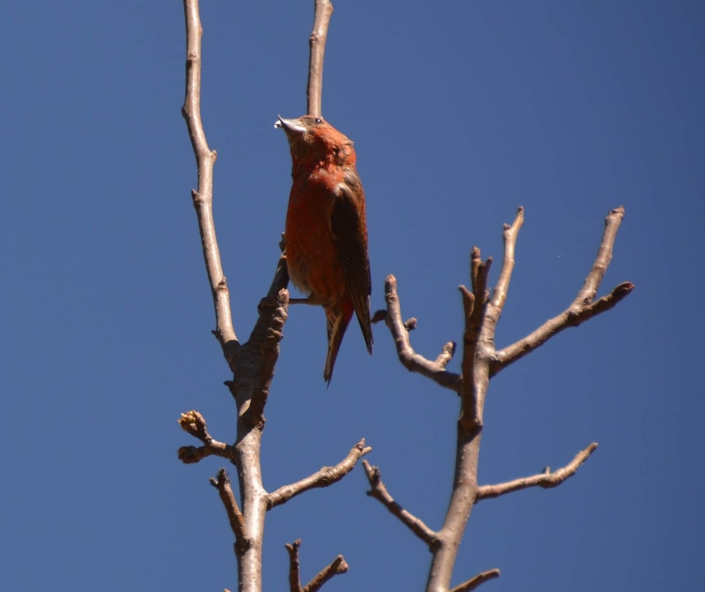
- Red CrossbillLoxia curvirostra
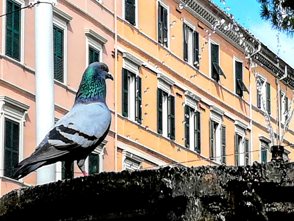
- Rock PigeonColumba livia
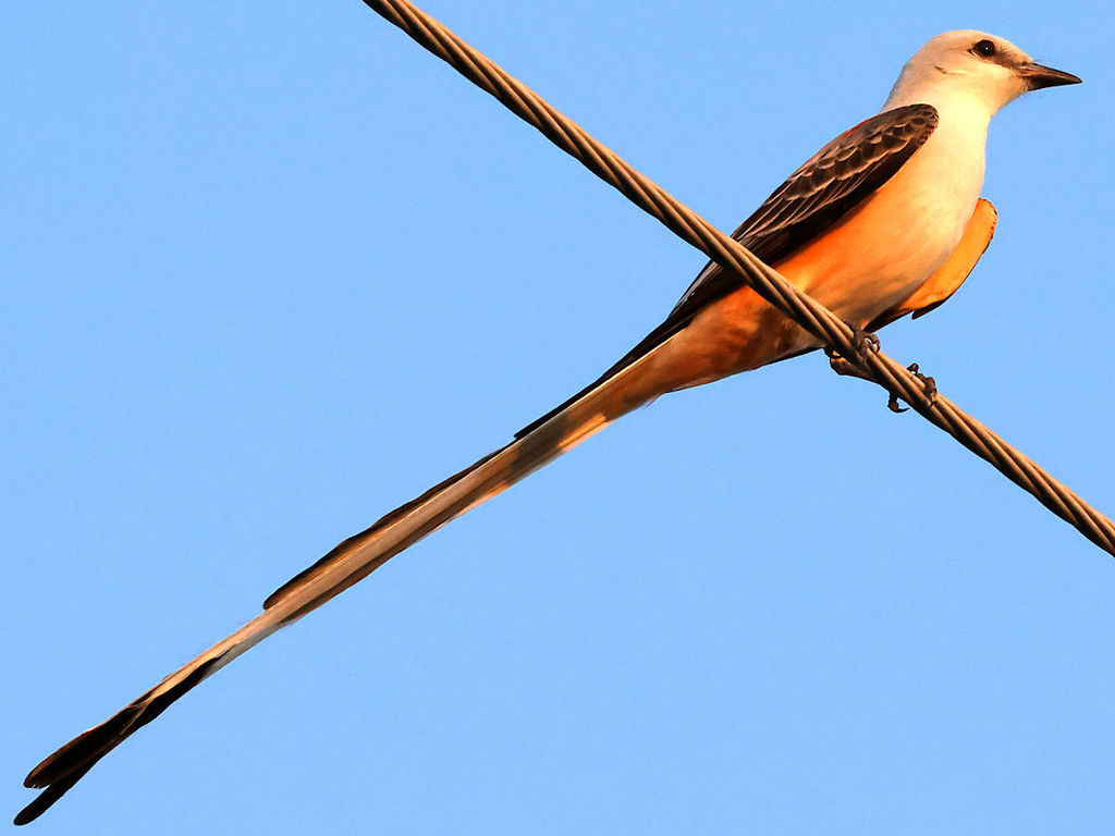
- Scissor-tailed FlycatcherTyrannus forficatus
- Smith's LongspurCalcarius pictus
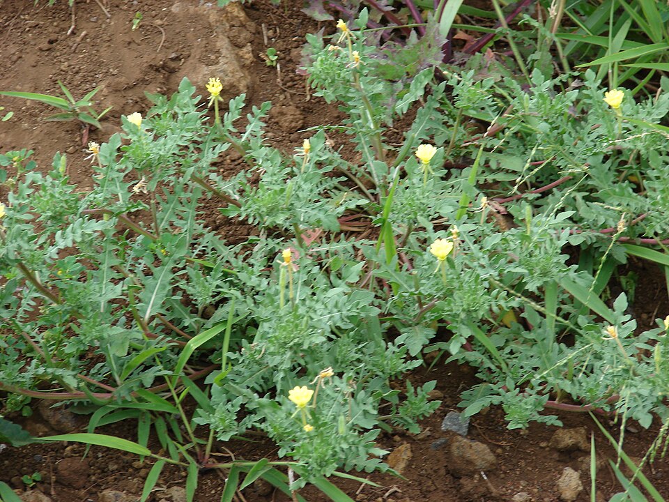
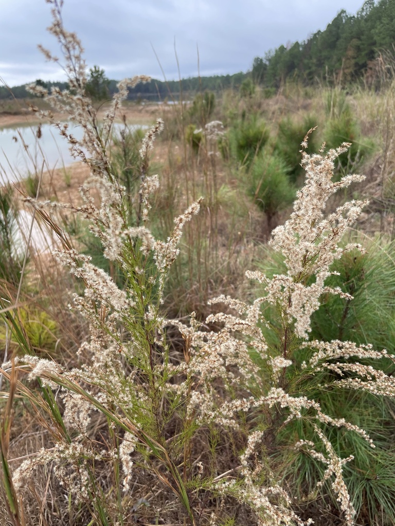
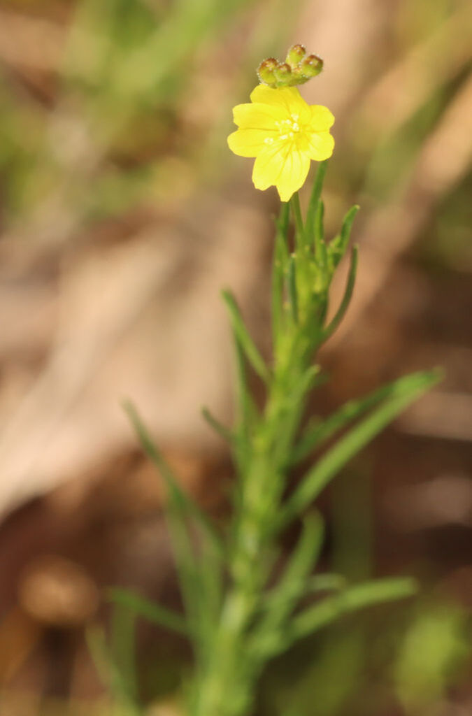
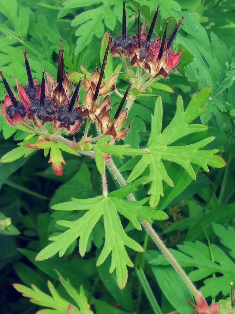
Plants 888
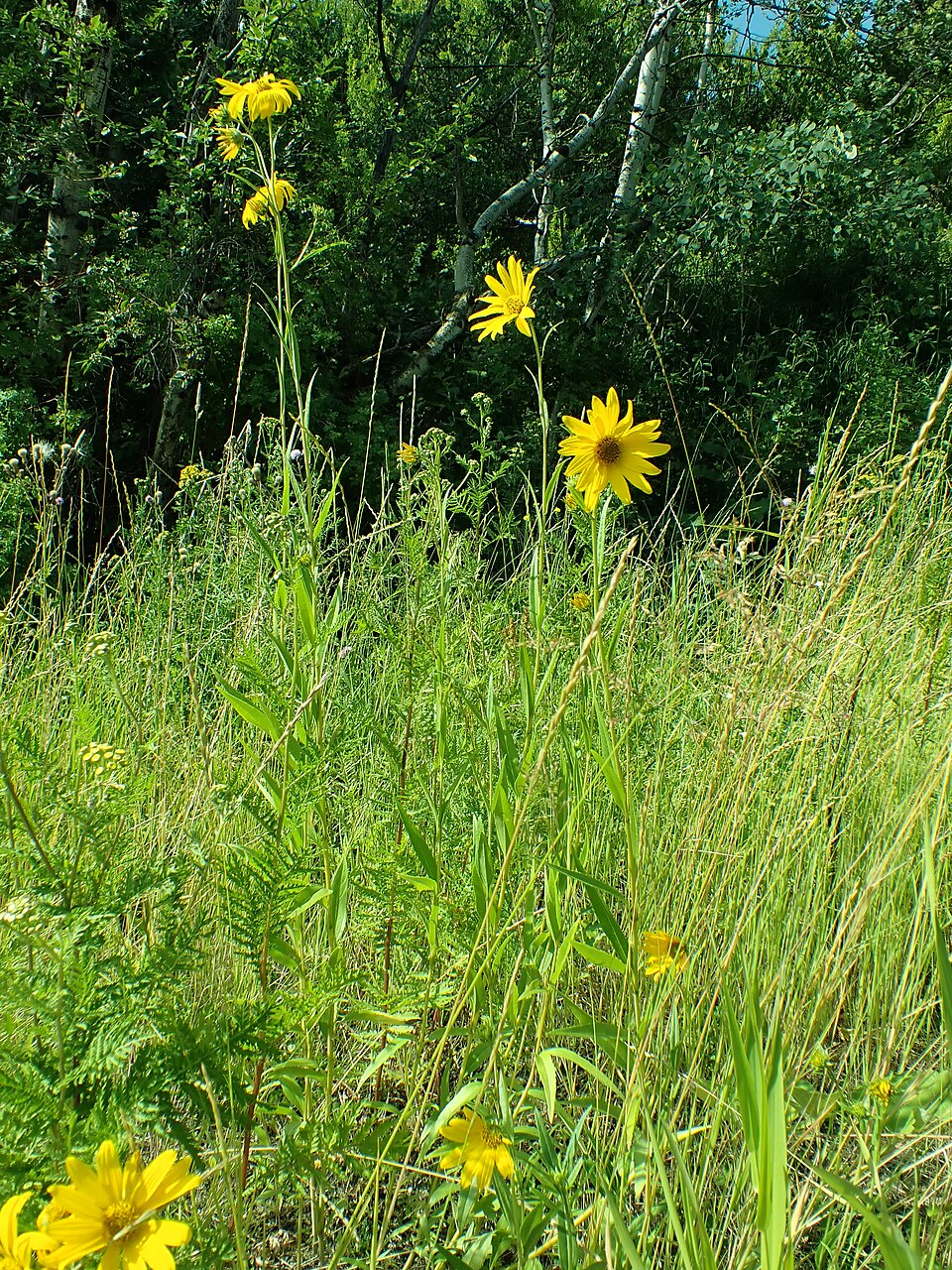
- Maximilian SunflowerHelianthus maximiliani
- Muck SunflowerHelianthus simulans
- Annual FleabaneErigeron annuus
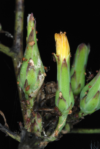
- Canada LettuceLactuca canadensis
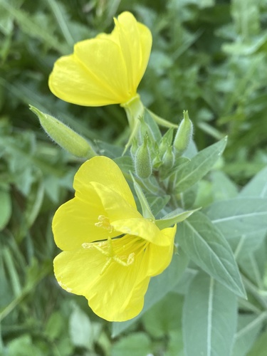
- Common Evening-primroseOenothera biennis
- Cutleaf Evening-primroseOenothera laciniata
- Dog-fennelEupatorium capillifolium
- Threadleaf SundropsOenothera linifolia
- Carolina Crane's-billGeranium carolinianum
- Bushy KnotweedPolygonum ramosissimum subsp. prolificum
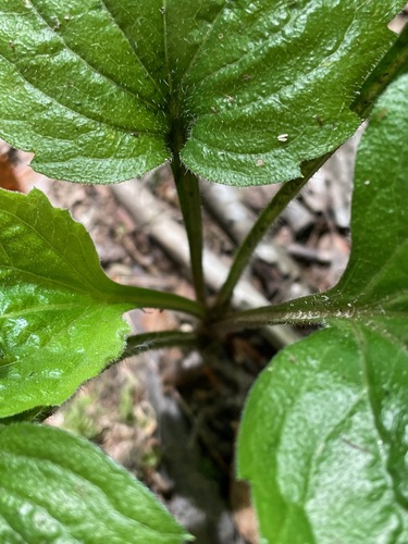
- Blackeyed SusanRudbeckia hirta var. pulcherrima
- Prostrate KnotweedPolygonum aviculare
Sources
- USGS Gap Analysis Project habitat models (2001)
- USGS GAP winter habitat model for American Bittern
- USGS Gap Analysis Project range maps (2001), modeled by watershed; migratory gives no dates
- NatureServe Explorer (CC BY 4.0), habitat names
- US Census TIGER/Line counties
- Names follow the USGS Gap Analysis Project (2001)