

Bird
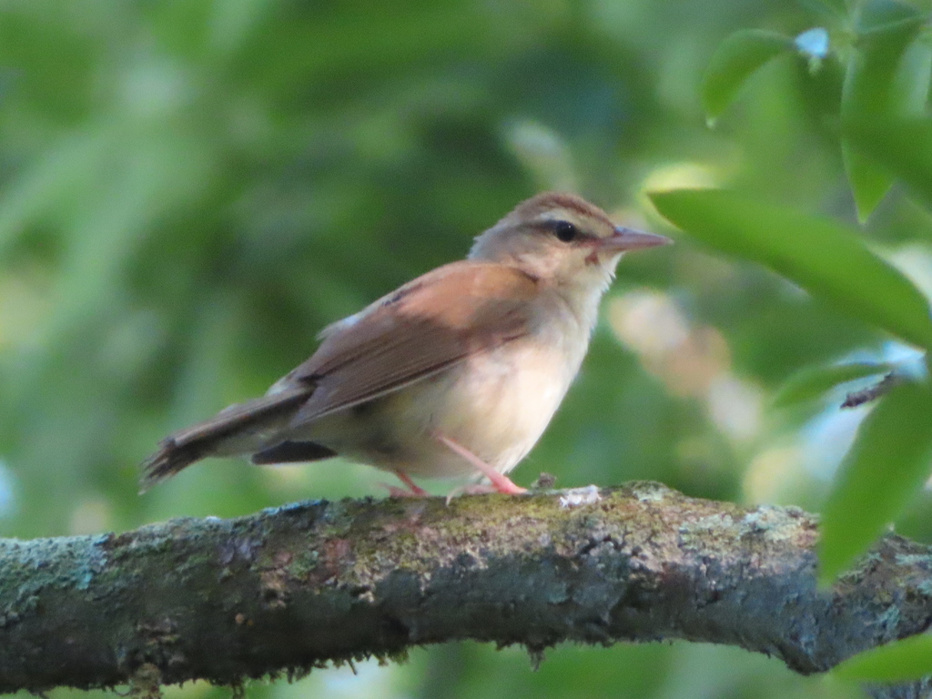
Swainson's Warbler
Limnothlypis swainsonii
A summer resident that nests in West Virginia. Found in 33 of 55 counties, across 7 habitats.
- Here
- Summer
- Nesting
- Nests here
- Range
- 33 of 55 counties
- Habitats
- 7
At a glance
- Group
- Birds
- Here
- Summer
- Nesting
- Nests here
- Range
- 33 of 55 counties
- Habitats
- 7
- Habitat models
- Summer
Where it lives
The places its habitat model includes. It is not found everywhere a habitat occurs.
Habitats in West Virginia 7
Each habitat page lists the plants and wildlife also found there.
Floodplain and bottomland forests
Forests on low ground beside rivers and streams that flood from time to time.
Streams, rivers and their banks
Flowing water and its banks, bars and rocky shoals.
Forests and open woodlands on dry ridges and slopes, often oak or pine.
Shady, evergreen forests of eastern or Carolina hemlock, often along rocky mountain streams and in gorges.
Forests between dry and moist, often oak-hickory on slopes.
Forests on moist but not wet ground, such as rich slopes and ravines.
Sheltered, moist mountain hollows and lower slopes with deep, fertile soil.
Other habitats in its models (60)
Land cover, or classes with no habitat page in West Virginia.
- East Gulf Coastal Plain Northern Loess Plain Oak-Hickory Upland - Hardwood Modifier Summer, only within 250 m of water.
- Northeastern Interior Dry Oak Forest-Hardwood Modifier Summer, only within 250 m of water.
- Ozark-Ouachita Dry-Mesic Oak Forest Summer, only within 250 m of water.
- Southern Interior Low Plateau Dry-Mesic Oak Forest Summer, only within 250 m of water.
- East Gulf Coastal Plain Northern Dry Upland Hardwood Forest Summer, only within 250 m of water.
- Ouachita Montane Oak Forest Summer, only within 250 m of water.
- East Gulf Coastal Plain Northern Loess Bluff Forest Summer, only within 250 m of water.
- East Gulf Coastal Plain Southern Loess Bluff Forest Summer, only within 250 m of water.
- Central and South Texas Coastal Fringe Forest and Woodland Summer, only within 250 m of water.
- West Gulf Coastal Plain Chenier and Upper Texas Coastal Fringe Forest and Woodland Summer, only within 250 m of water.
- Mississippi River Alluvial Plain Dry-Mesic Loess Slope Forest Summer, only within 250 m of water.
- East-Central Texas Plains Post Oak Savanna and Woodland Summer, only within 250 m of water.
- East-Central Texas Plains Riparian Forest Summer.
- East-Central Texas Plains Floodplain Forest Summer.
- Lower Mississippi River Dune Woodland and Forest Summer.
- Southern Piedmont Mesic Forest Summer, only within 250 m of water.
- West Gulf Coastal Plain Mesic Hardwood Forest Summer, only within 250 m of water.
- East Gulf Coastal Plain Northern Mesic Hardwood Forest Summer, only within 250 m of water.
- Ozark-Ouachita Mesic Hardwood Forest Summer, only within 250 m of water.
- East Gulf Coastal Plain Southern Mesic Slope Forest Summer, only within 250 m of water.
- Southern Piedmont Dry Oak-(Pine) Forest - Hardwood Modifier Summer, only within 250 m of water.
- Southern Piedmont Dry Oak-(Pine) Forest - Mixed Modifier Summer, only within 250 m of water.
- Southern Piedmont Dry Oak-Heath Forest - Mixed Modifier Summer, only within 250 m of water.
- Northern Atlantic Coastal Plain Dry Hardwood Forest Summer, only within 250 m of water.
- Ozark-Ouachita Shortleaf Pine-Oak Forest and Woodland Summer, only within 250 m of water.
- West Gulf Coastal Plain Pine-Hardwood Forest Summer, only within 250 m of water.
- Southern Ridge and Valley Dry Calcareous Forest Summer, only within 250 m of water.
- West Gulf Coastal Plain Sandhill Oak and Shortleaf Pine Forest and Woodland Summer, only within 250 m of water.
- Atlantic Coastal Plain Mesic Hardwood and Mixed Forest Summer, only within 250 m of water.
- Ozark-Ouachita Shortleaf Pine-Bluestem Woodland Summer, only within 250 m of water.
- Southern Coastal Plain Nonriverine Basin Swamp - Okefenokee Taxodium Modifier Summer.
- Southern Coastal Plain Seepage Swamp and Baygall Summer.
- Atlantic Coastal Plain Streamhead Seepage Swamp - Pocosin - and Baygall Summer.
- West Gulf Coastal Plain Near-Coast Large River Swamp Summer.
- South Florida Bayhead Swamp Summer.
- Southern Coastal Plain Nonriverine Basin Swamp Summer.
- Northern Atlantic Coastal Plain Basin Swamp and Wet Hardwood Forest Summer.
- Atlantic Coastal Plain Nonriverine Swamp and Wet Hardwood Forest - Taxodium/Nyssa Modifier Summer.
- Atlantic Coastal Plain Nonriverine Swamp and Wet Hardwood Forest - Oak Dominated Modifier Summer.
- Atlantic Coastal Plain Clay-Based Carolina Bay Forested Wetland Summer.
- Lower Mississippi River Bottomland Depressions - Forest Modifier Summer.
- Southern Piedmont/Ridge and Valley Upland Depression Swamp Summer.
- Mississippi River Bottomland Depression Summer.
- East Gulf Coastal Plain Large River Floodplain Forest - Forest Modifier Summer.
- Southern Piedmont Large Floodplain Forest - Forest Modifier Summer.
- South-Central Interior Large Floodplain - Herbaceous Modifier Summer.
- Mississippi River Riparian Forest Summer.
- Mississippi River Low Floodplain (Bottomland) Forest Summer.
- West Gulf Coastal Plain Small Stream and River Forest Summer.
- West Gulf Coastal Plain Large River Floodplain Forest Summer.
- Southern Piedmont Small Floodplain and Riparian Forest Summer.
- Atlantic Coastal Plain Small Brownwater River Floodplain Forest Summer.
- Red River Large Floodplain Forest Summer.
- Atlantic Coastal Plain Brownwater Stream Floodplain Forest Summer.
- East Gulf Coastal Plain Small Stream and River Floodplain Forest Summer.
- Mississippi River Floodplain and Riparian Forest Summer.
- Ozark-Ouachita Riparian Summer.
- West Gulf Coastal Plain Pine-Hardwood Flatwoods Summer, only within 250 m of water.
- Lower Mississippi River Flatwoods Summer, only within 250 m of water.
- West Gulf Coastal Plain Nonriverine Wet Hardwood Flatwoods Summer.
Seasons in West Virginia
- Summer: nests here, in 33 of 55 counties.
Also found in this habitat
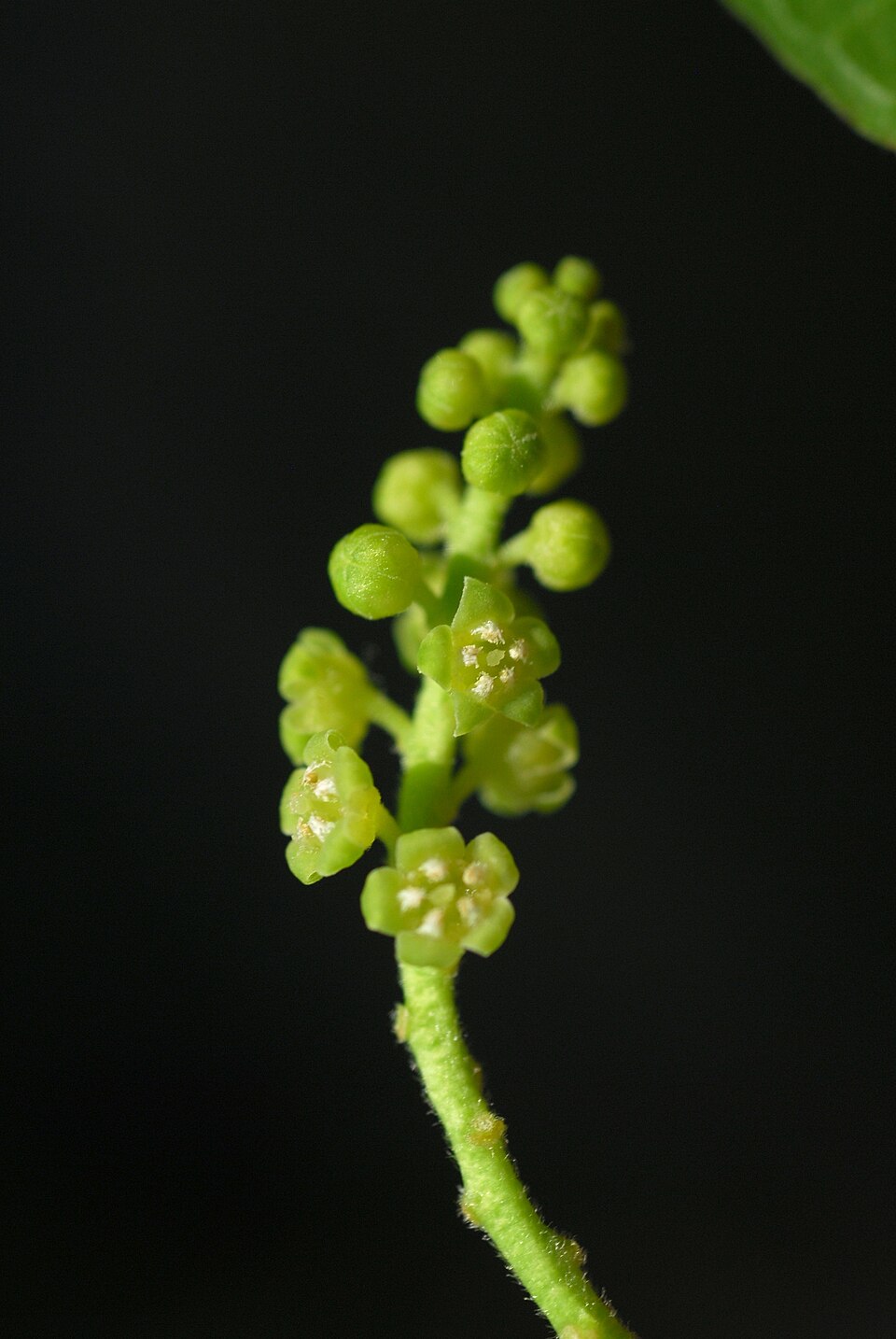
Plants 629
Plants named in NatureServe descriptions of these habitats that grow in West Virginia. Shared habitat, not food.
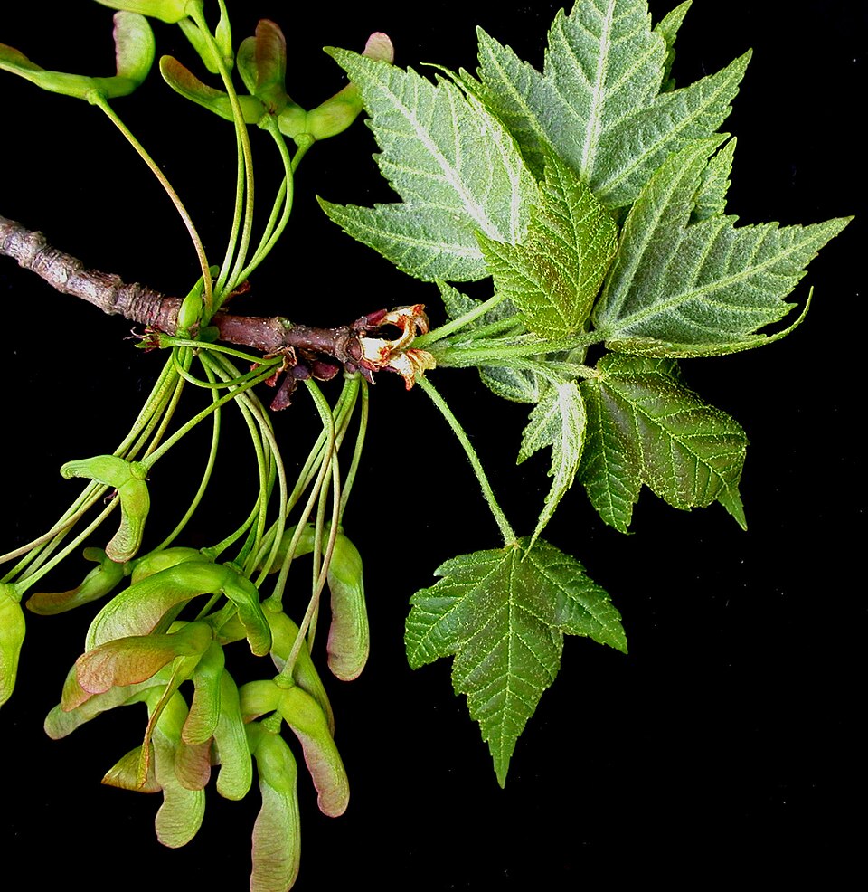
- Red MapleAcer rubrum
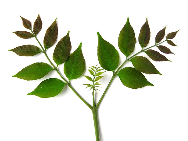
- White AshFraxinus americana
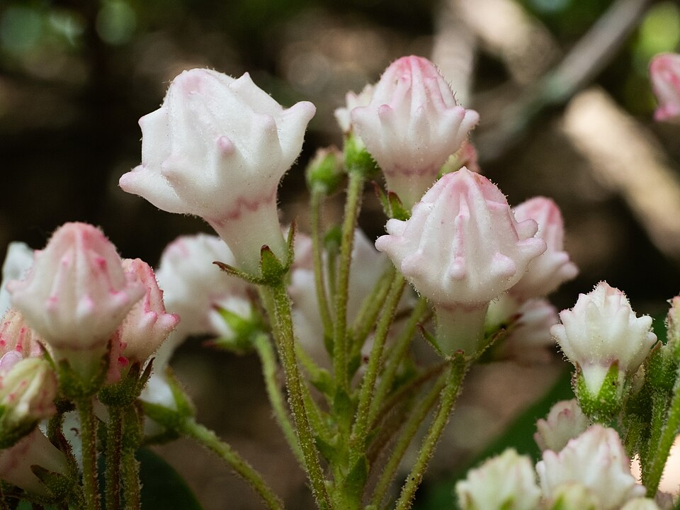
- Mountain LaurelKalmia latifolia
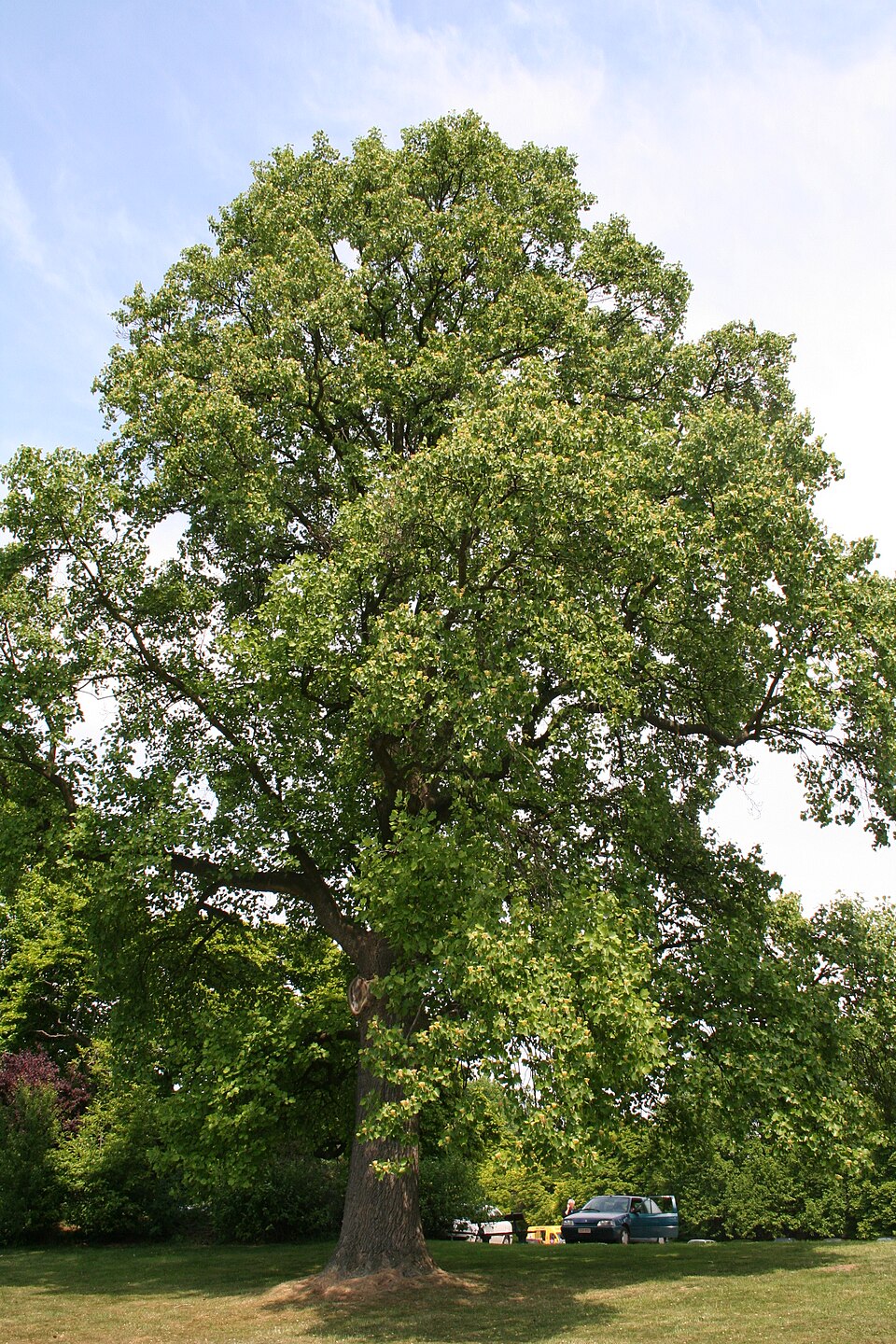
- TuliptreeLiriodendron tulipifera
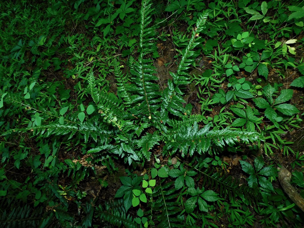
- Christmas FernPolystichum acrostichoides
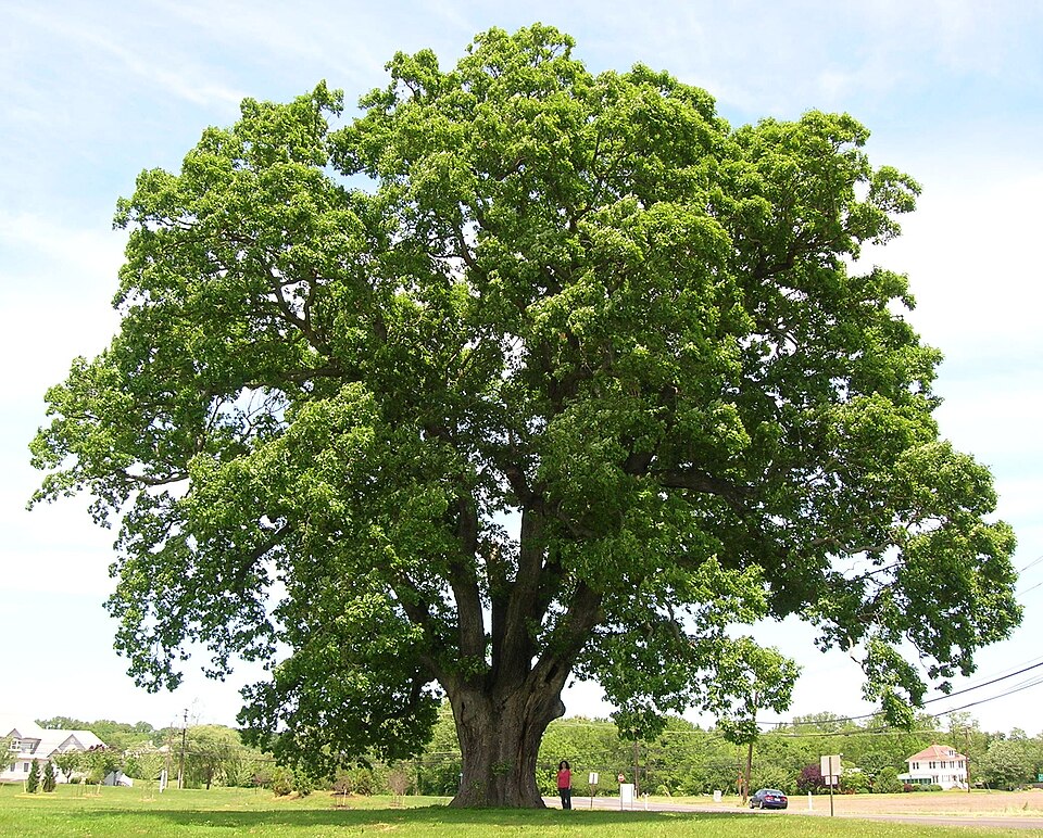
- White OakQuercus alba
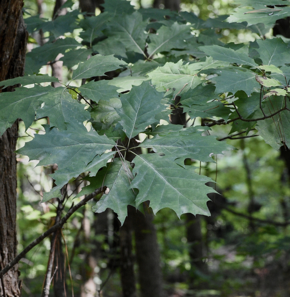
- Northern Red OakQuercus rubra
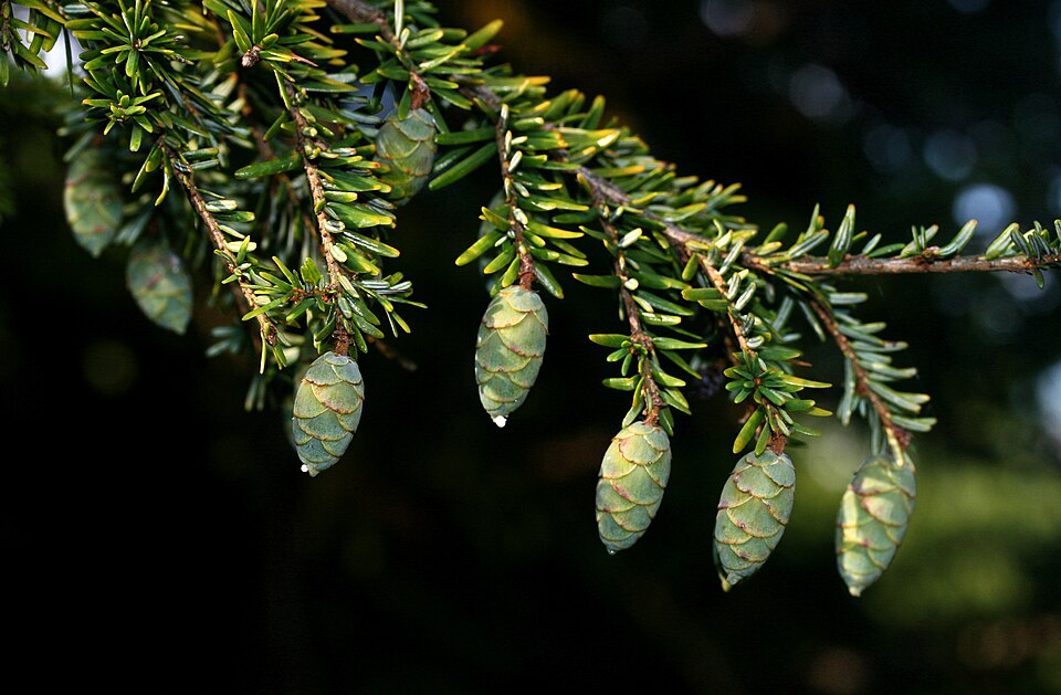
- Eastern HemlockTsuga canadensis
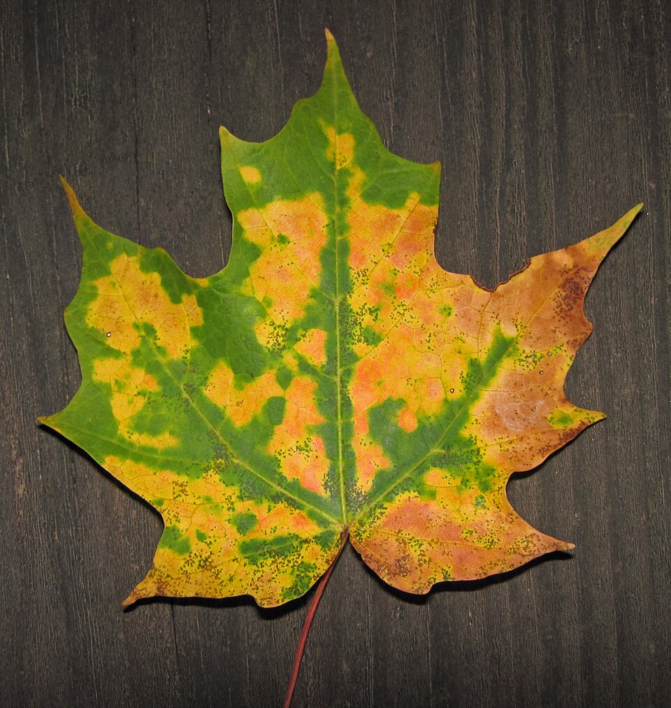
- Sugar MapleAcer saccharum
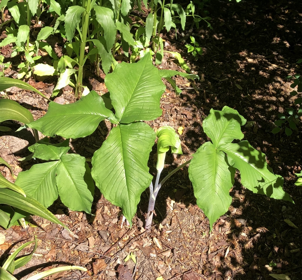
- Common Jack-in-the-pulpitArisaema triphyllum
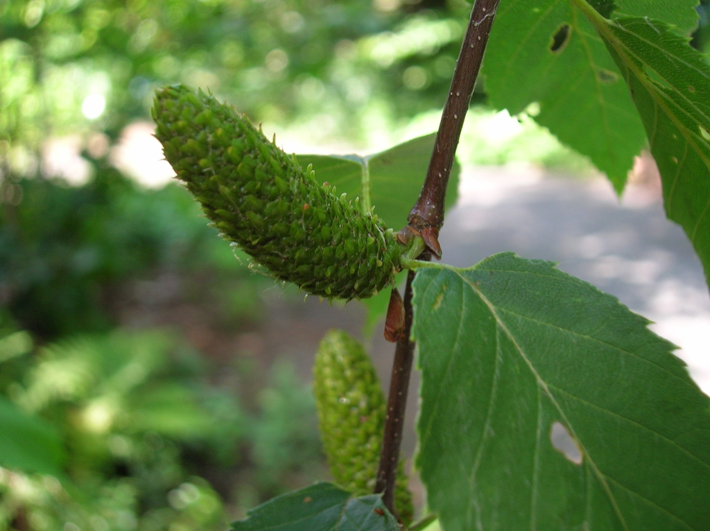
- Sweet BirchBetula lenta
- Mockernut HickoryCarya tomentosa
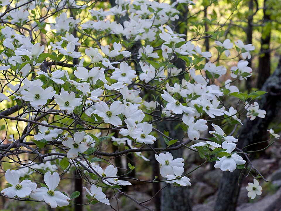
- Flowering DogwoodCornus florida
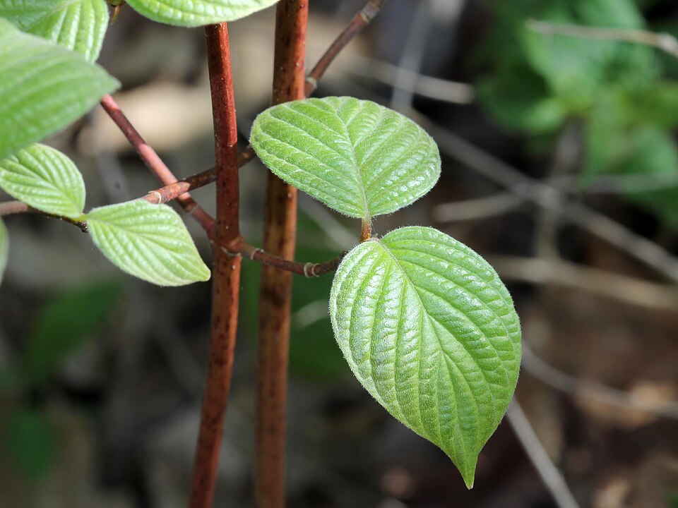
- Round Leaf DogwoodCornus rugosa
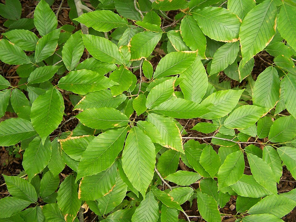
- American BeechFagus grandifolia
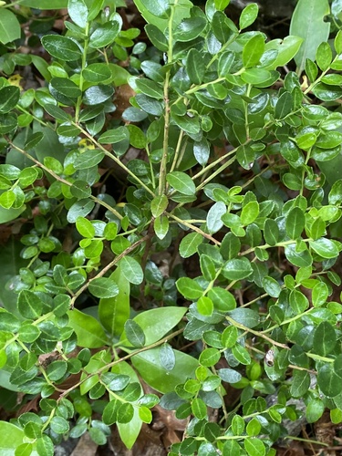
- Box HuckleberryGaylussacia brachycera
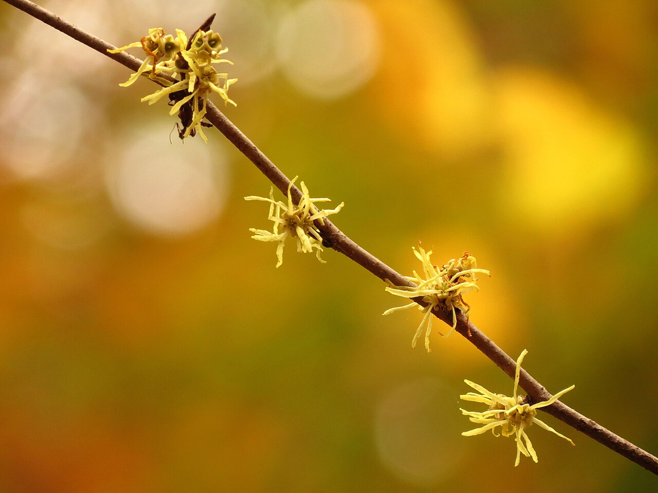
- American Witch-hazelHamamelis virginiana
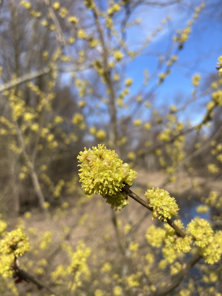
- Northern SpicebushLindera benzoin
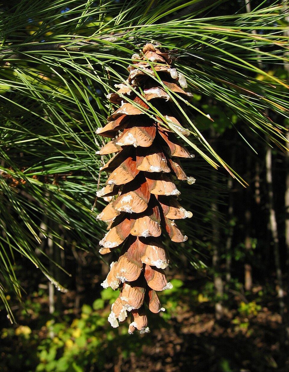
- Eastern White PinePinus strobus
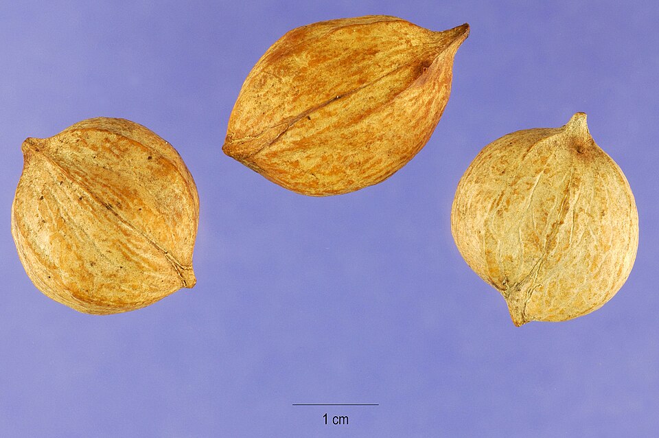
- Buffalo-nutPyrularia pubera
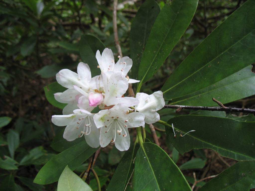
- Rosebay RhododendronRhododendron maximum
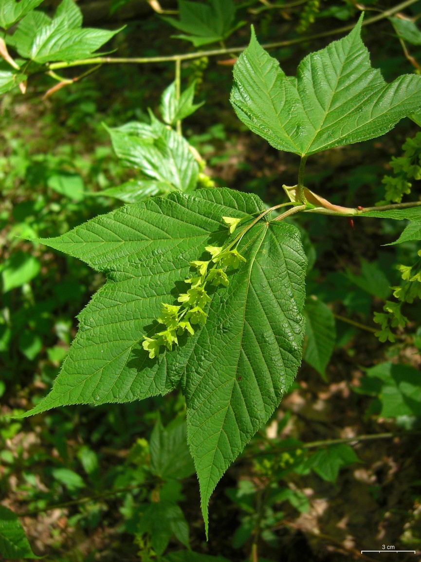
- Striped MapleAcer pensylvanicum
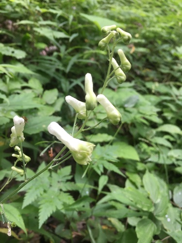
- White MonkshoodAconitum reclinatum
- American Hog-peanutAmphicarpaea bracteata
Wildlife 164
Other animals whose habitat models include the same habitats in West Virginia. Not sighting records.
- Cerulean WarblerDendroica cerulea
- Chimney SwiftChaetura pelagica
- Chipping SparrowSpizella passerina
- Common GrackleQuiscalus quiscula
- Common NighthawkChordeiles minor
- Common RavenCorvus corax
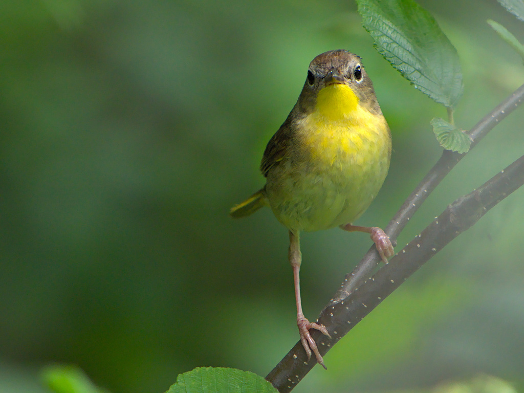
- Common YellowthroatGeothlypis trichas
- Cooper's HawkAccipiter cooperii
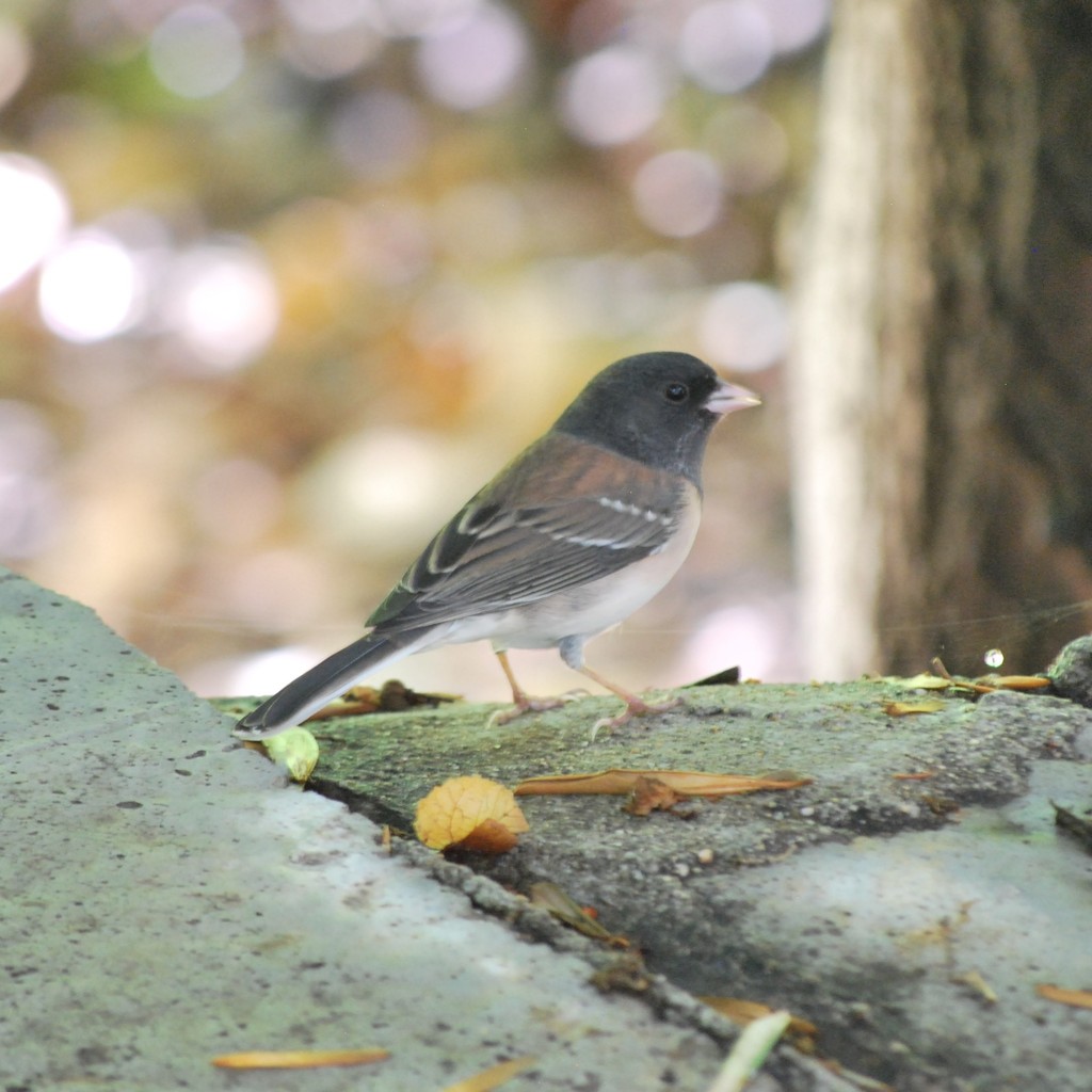
- Dark-eyed JuncoJunco hyemalis
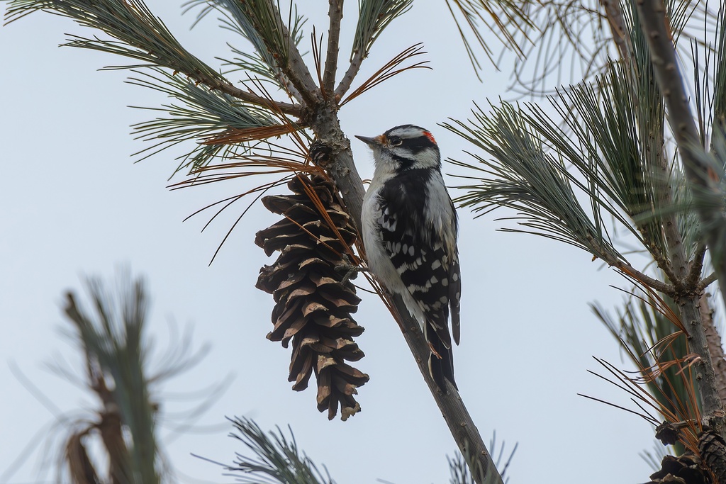
- Downy WoodpeckerPicoides pubescens
- Eastern KingbirdTyrannus tyrannus
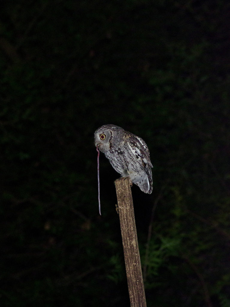
- Eastern Screech-owlMegascops asio
- Eastern TowheePipilo erythrophthalmus
- Eastern Wood-peweeContopus virens
- European StarlingSturnus vulgaris
- Evening GrosbeakCoccothraustes vespertinus
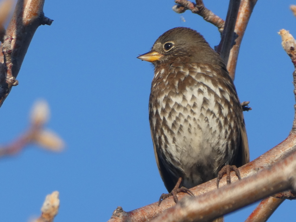
- Fox SparrowPasserella iliaca
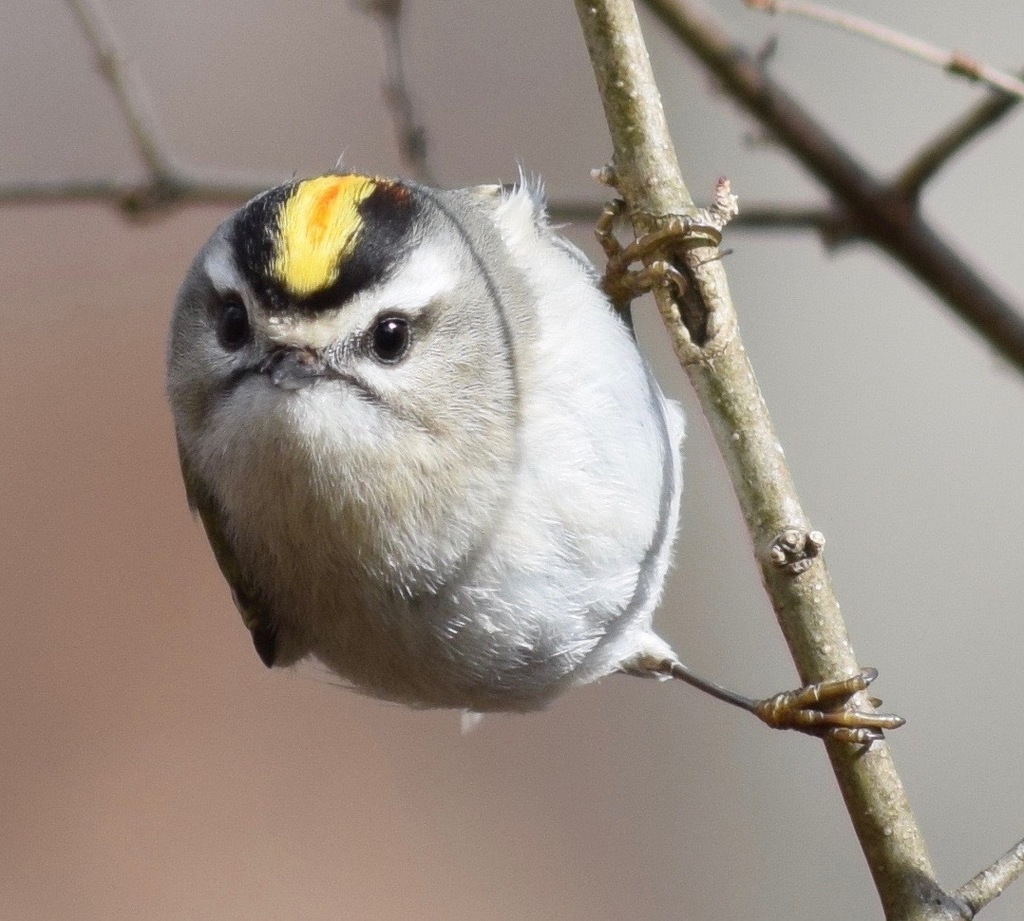
- Golden-crowned KingletRegulus satrapa
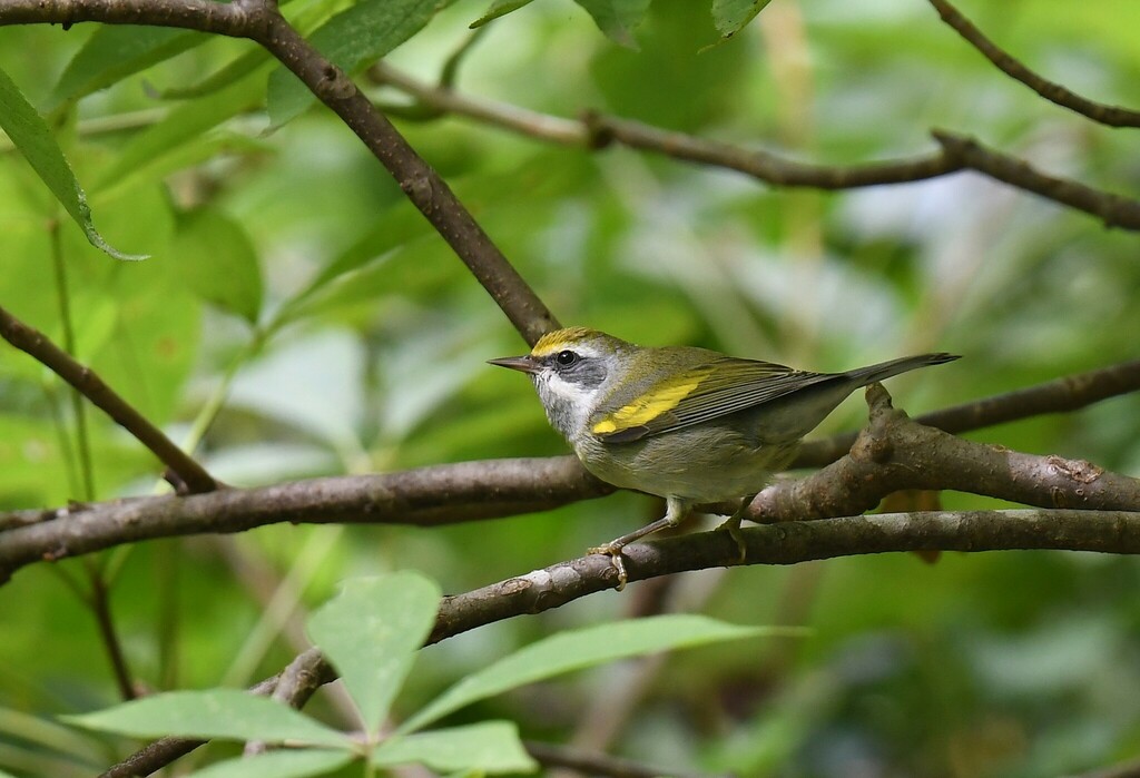
- Golden-winged WarblerVermivora chrysoptera
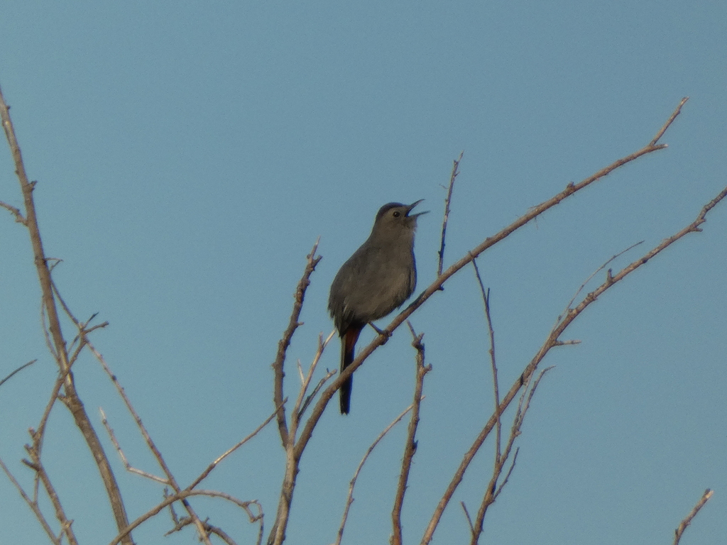
- Gray CatbirdDumetella carolinensis
- Great Crested FlycatcherMyiarchus crinitus
- Great Horned OwlBubo virginianus
- Hairy WoodpeckerPicoides villosus
- Hermit ThrushCatharus guttatus
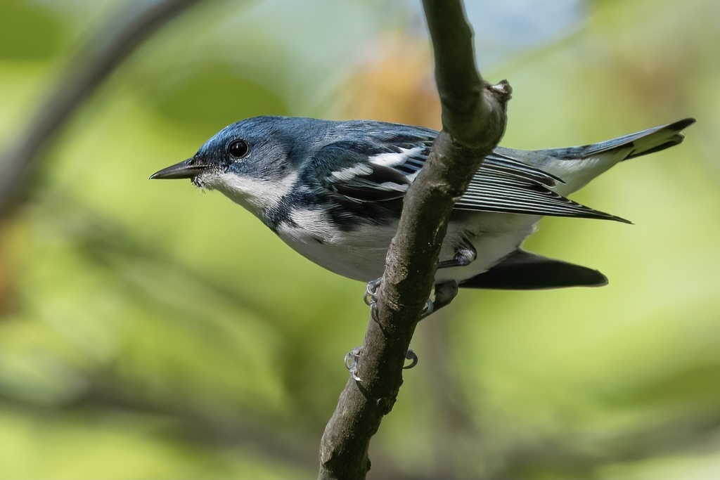

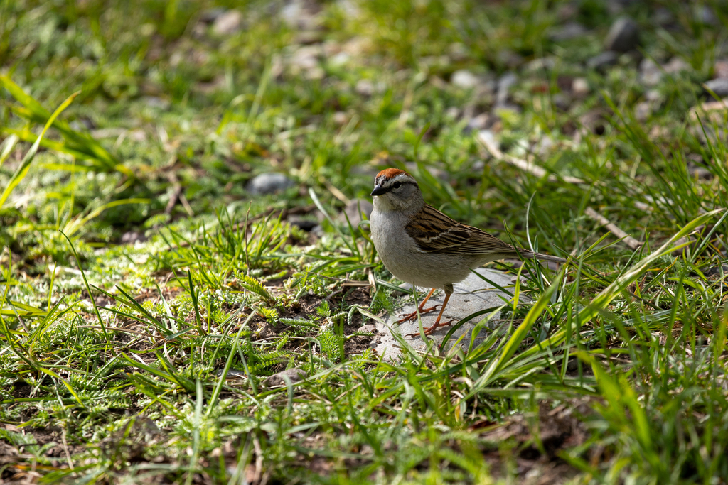
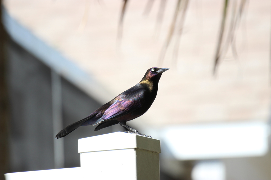



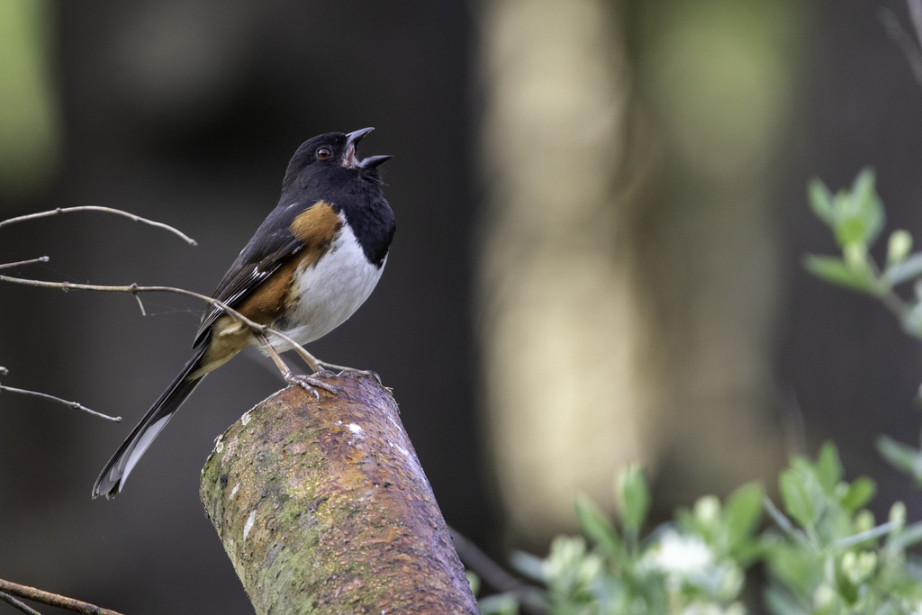
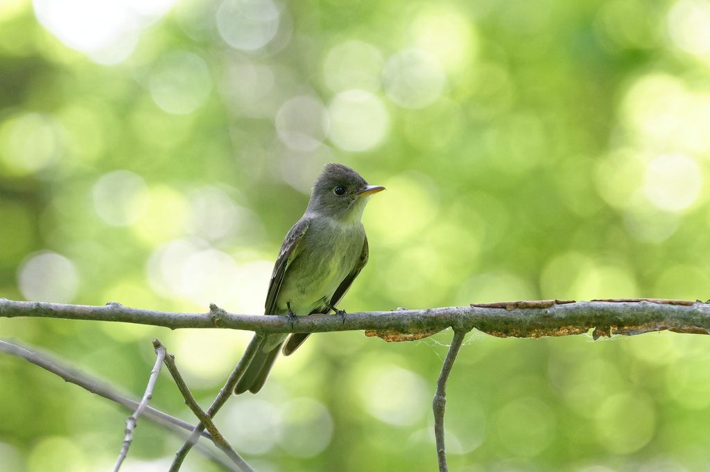
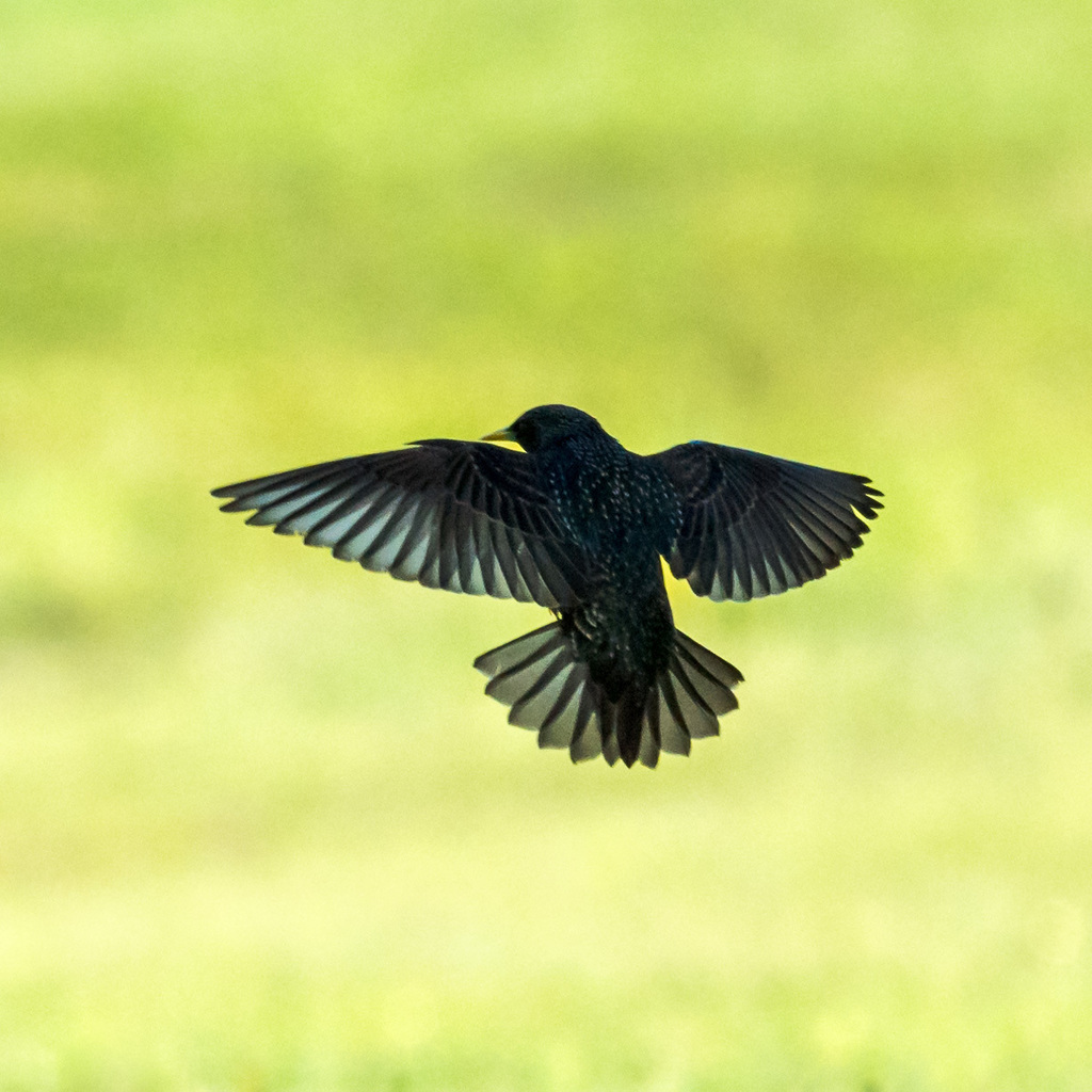
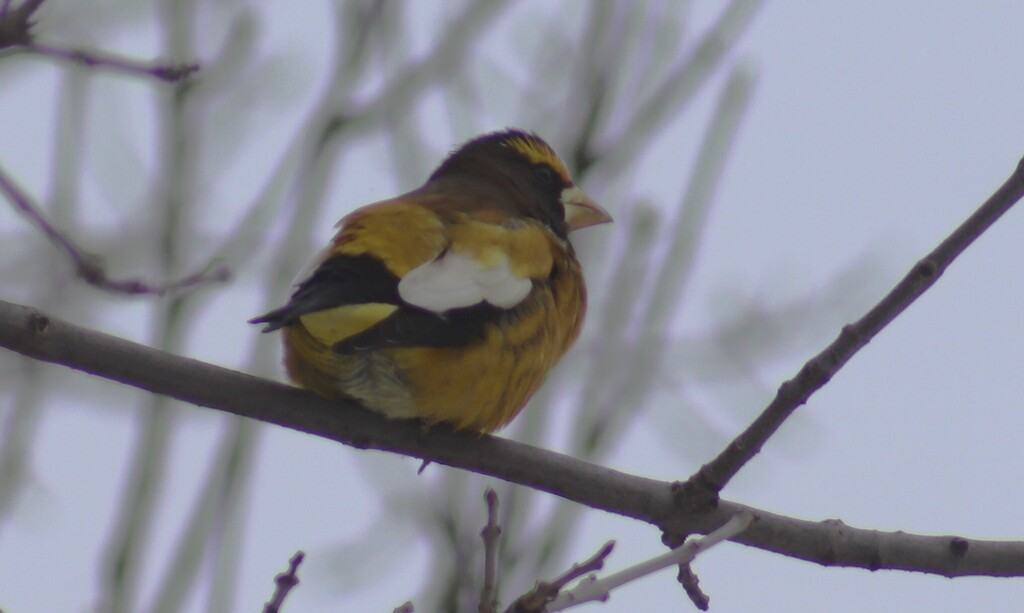
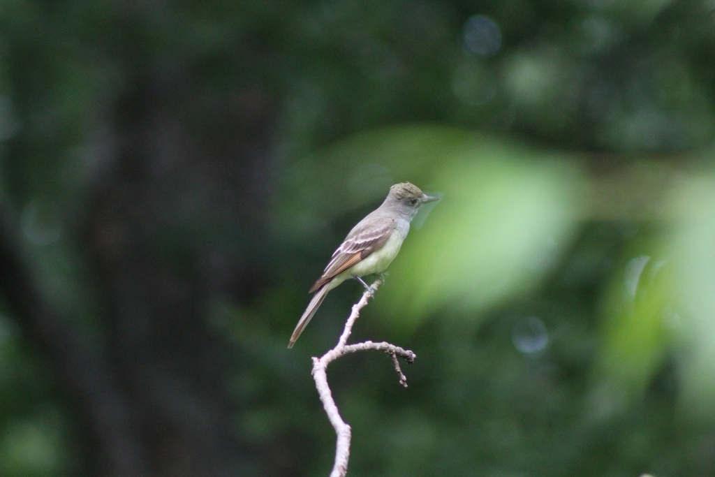

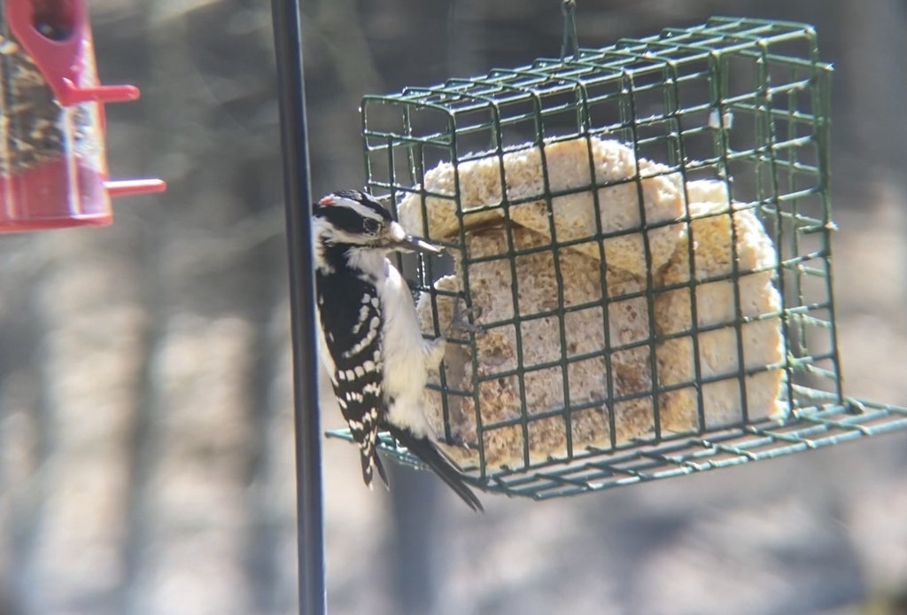
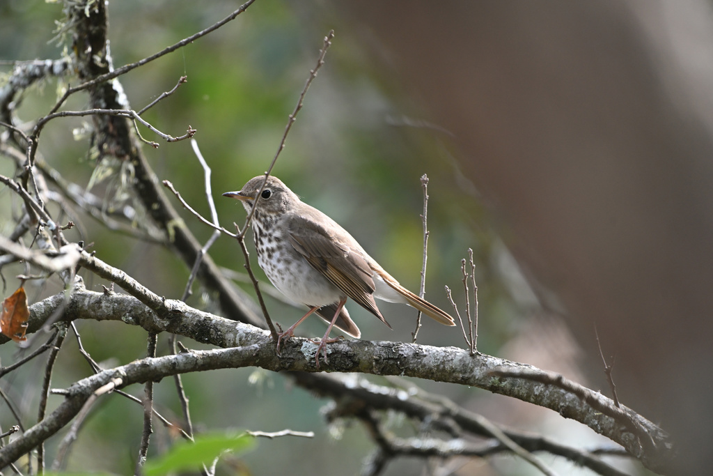
NatureServe Explorer, CC BY 4.0. USGS Gap Analysis Project habitat models.
Sources
- USGS Gap Analysis Project habitat models (2001)
- USGS GAP summer habitat model for Swainson's Warbler Elevation 0 to 1,200 m
- USGS Gap Analysis Project range maps (2001), modeled by watershed; migratory gives no dates
- NatureServe Explorer (CC BY 4.0), habitat names
- US Census TIGER/Line counties
- Names follow the USGS Gap Analysis Project (2001)