

Bird
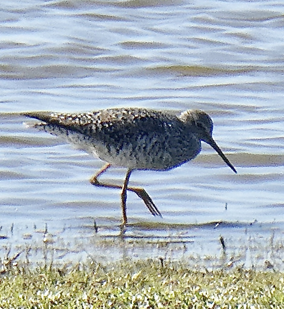
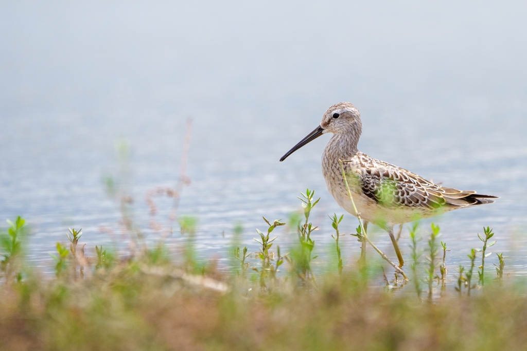
Greater Yellowlegs
Tringa melanoleuca
Passes through West Virginia on migration. Found in all 55 counties, across 3 habitats.
- Here
- On migration
- Nesting
- Not known to nest here
- Range
- All 55 counties
- Habitats
- 3
At a glance
- Group
- Birds
- Here
- On migration
- Nesting
- Not known to nest here
- Range
- All 55 counties
- Habitats
- 3
- Habitat models
- Winter
Where it lives
The places its habitat model includes. It is not found everywhere a habitat occurs.
Habitats in West Virginia 3
Each habitat page lists the plants and wildlife also found there.
Disturbed and introduced wetlands
Wet ground taken over by weedy or introduced plants after disturbance, such as common reed, Chinese tallow or tamarisk stands; the upland counterpart is roadsides, fields and disturbed ground.
Still water and its edges: ponds, lakes, millponds and reservoirs.
Roadsides, fields and disturbed ground
Ground opened by people: roadsides, old fields, pastures, fencerows and lots.
Other habitats in its models (65)
Land cover, or classes with no habitat page in West Virginia. Those recorded in West Virginia first, the rest by region.
Elsewhere in the South (38)
- Atlantic and Gulf Coastal Plain Interdunal Wetland Winter.
- Atlantic Coastal Plain Central Fresh-Oligohaline Tidal Marsh Winter.
- Atlantic Coastal Plain Central Salt and Brackish Tidal Marsh Winter.
- Atlantic Coastal Plain Indian River Lagoon Tidal Marsh Winter.
- Atlantic Coastal Plain Large Natural Lakeshore Winter.
- Atlantic Coastal Plain Sea Island Beach Winter.
- Atlantic Coastal Plain Southern Beach Winter.
- Atlantic Coastal Plain Southern Dune and Maritime Grassland Winter.
- Atlantic Coastal Plain Xeric River Dune Winter.
- Central and Upper Texas Coast Dune and Coastal Grassland Winter.
- Central Florida Herbaceous Pondshore Winter.
- Central Florida Herbaceous Seep Winter.
- East Gulf Coastal Plain Dry Chalk Bluff Winter, only within 120 m of water.
- East Gulf Coastal Plain Dune and Coastal Grassland Winter.
- Florida Big Bend Fresh-Oligohaline Tidal Marsh Winter.
- Florida Big Bend Salt-Brackish Tidal Marsh Winter.
- Florida Dry Prairie Winter, only within 120 m of water.
- Floridian Highlands Freshwater Marsh Winter.
- Louisiana Beach Winter.
- South Florida Bayhead Swamp Winter.
- South Florida Everglades Sawgrass Marsh Winter.
- South Florida Shell Hash Beach Winter.
- South Texas Lomas Winter, only within 120 m of water.
- Southeast Florida Beach Winter.
- Southern Coastal Plain Herbaceous Seepage Bog Winter.
- Southwest Florida Beach Winter.
- Southwest Florida Dune and Coastal Grassland Winter.
- Tamaulipan Floodplain Winter.
- Tamaulipan Savanna Grassland Winter, only within 120 m of water.
- Texas Coastal Bend Beach Winter.
- Texas Saline Coastal Prairie Winter.
- Texas-Louisiana Coastal Prairie Winter, only within 120 m of water.
- Upper Texas Coast Beach Winter.
- West Gulf Coastal Plain Catahoula Barrens Winter, only within 120 m of water.
- West Gulf Coastal Plain Large River Floodplain Forest Winter.
- West Gulf Coastal Plain Nepheline Syenite Glade Winter, only within 120 m of water.
- West Gulf Coastal Plain Northern Calcareous Prairie Winter, only within 120 m of water.
- West Gulf Coastal Plain Southern Calcareous Prairie Winter, only within 120 m of water.
Land cover and other classes (27)
- Atlantic Coastal Plain Clay-Based Carolina Bay Herbaceous Wetland Winter.
- Atlantic Coastal Plain Depression Pondshore Winter.
- Developed, Low Intensity Winter, only within 120 m of water.
- East Gulf Coastal Plain Black Belt Calcareous Prairie and Woodland - Herbaceous Modifier Winter, only within 120 m of water.
- East Gulf Coastal Plain Jackson Prairie and Woodland Winter, only within 120 m of water.
- East Gulf Coastal Plain Southern Depression Pondshore Winter.
- Gulf and Atlantic Coastal Plain Tidal Marsh Systems Winter.
- Harvested Forest - Grass/Forb Regeneration Winter, only within 120 m of water.
- Introduced Upland Vegetation - Annual Grassland Winter, only within 120 m of water.
- Introduced Upland Vegetation - Forbland Winter, only within 120 m of water.
- Introduced Upland Vegetation - Perennial Grassland Winter, only within 120 m of water.
- Introduced Upland Vegetation - Perennial Grassland and Forbland Winter, only within 120 m of water.
- Modified/Managed Southern Tall Grassland Winter, only within 120 m of water.
- Open Water (Aquaculture) Winter.
- Open Water (Brackish/Salt) Winter.
- Recently Burned Winter, only within 120 m of water.
- Recently Burned Forest Winter, only within 120 m of water.
- Recently Burned Grassland Winter, only within 120 m of water.
- Recently Logged Areas Winter, only within 120 m of water.
- South Texas Dune and Coastal Grassland Winter.
- South Texas Sand Sheet Grassland Winter, only within 120 m of water.
- Tamaulipan Clay Grassland Winter, only within 120 m of water.
- Tamaulipan Riparian Systems Winter.
- Texas-Louisiana Coastal Prairie Slough Winter.
- Unconsolidated Shore Winter.
- Unconsolidated Shore (Beach/Dune) Winter.
- Unconsolidated Shore (Lake/River/Pond) Winter.
Seasons in West Virginia
- Migratory: does not nest here, in all 55 counties.
Also found in this habitat
Wildlife 199
Other animals whose habitat models include the same habitats in West Virginia. Not sighting records.
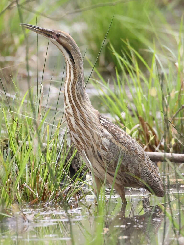
- American BitternBotaurus lentiginosus
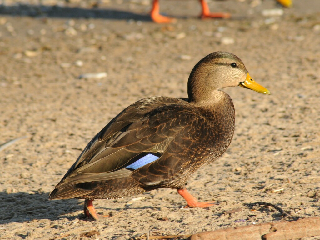
- American Black DuckAnas rubripes
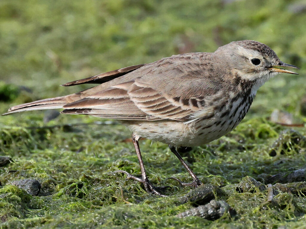
- American PipitAnthus rubescens
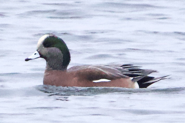
- American WigeonAnas americana
- Bank SwallowRiparia riparia
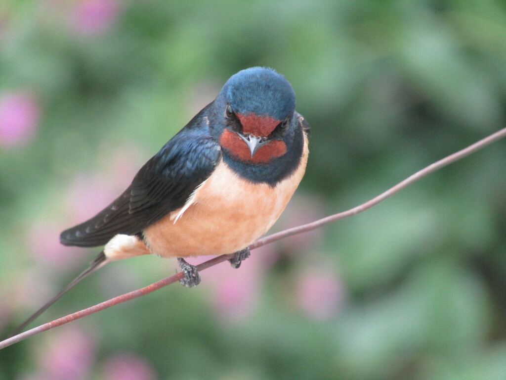
- Barn SwallowHirundo rustica
- Black-crowned Night-heronNycticorax nycticorax
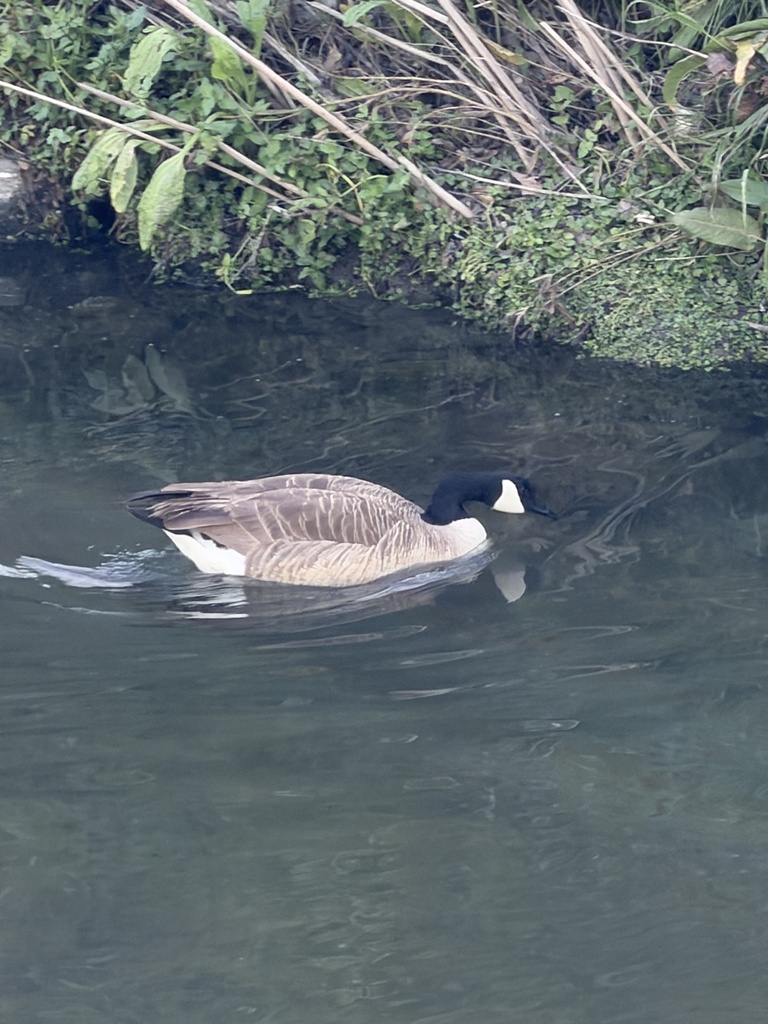
- Canada GooseBranta canadensis
- Chimney SwiftChaetura pelagica
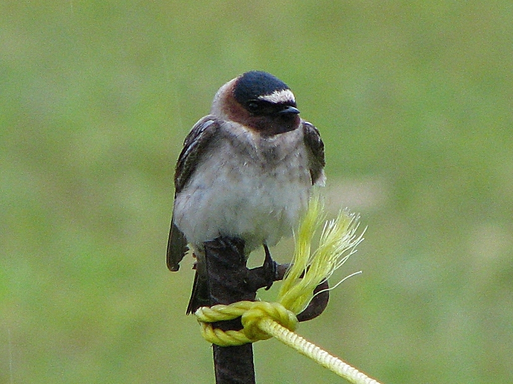
- Cliff SwallowPetrochelidon pyrrhonota
- Common NighthawkChordeiles minor
- Eastern KingbirdTyrannus tyrannus
- Great Blue HeronArdea herodias
- Great Horned OwlBubo virginianus
- Long-billed DowitcherLimnodromus scolopaceus
- MallardAnas platyrhynchos
- Northern PintailAnas acuta
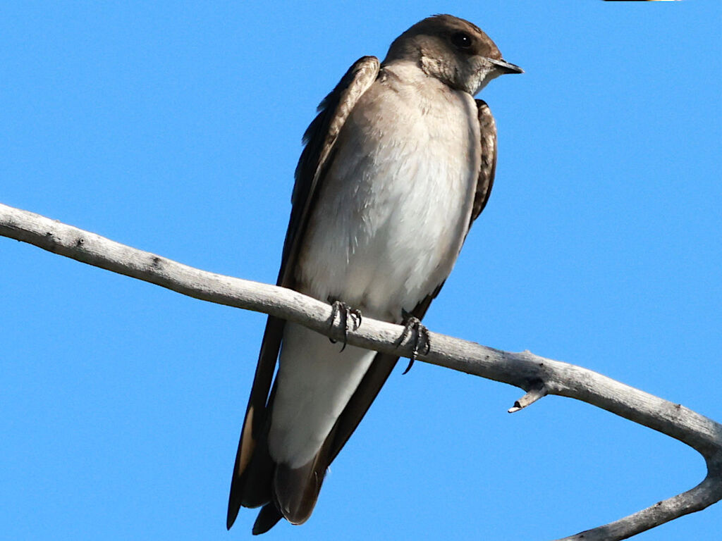
- Northern Rough-winged SwallowStelgidopteryx serripennis
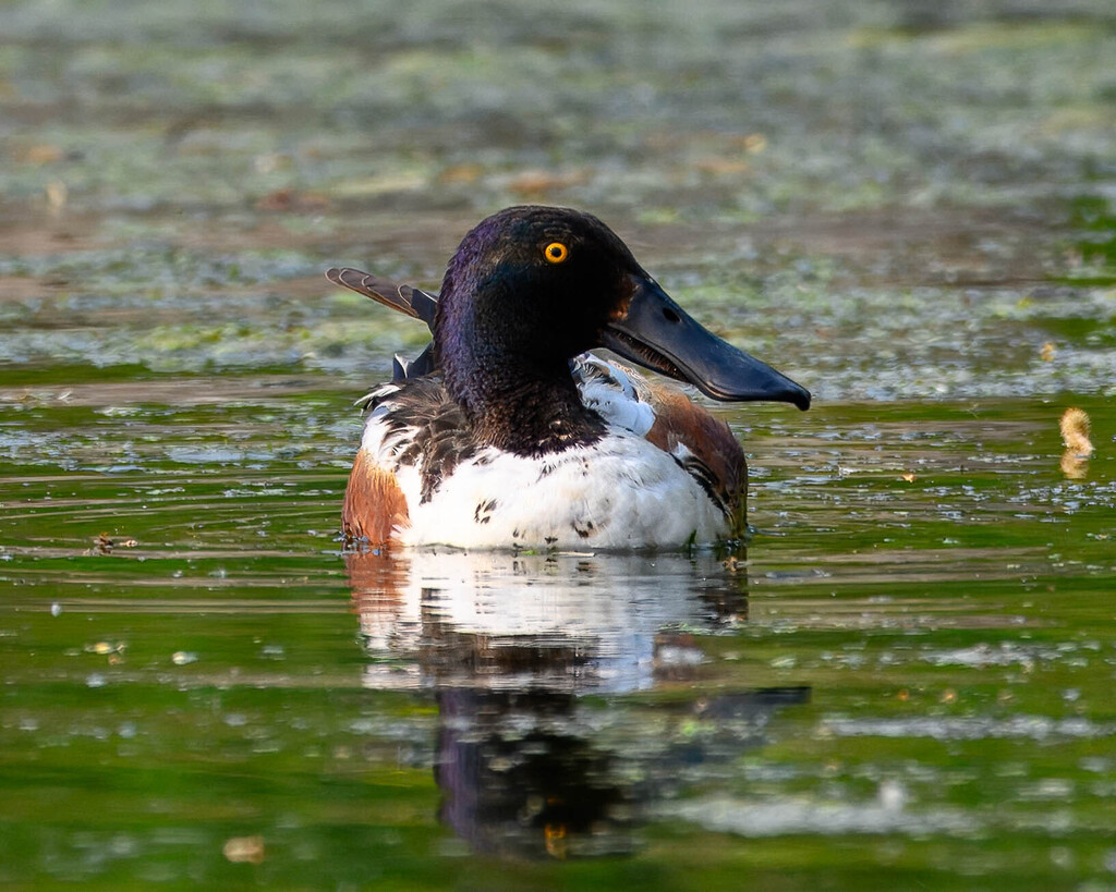
- Northern ShovelerAnas clypeata
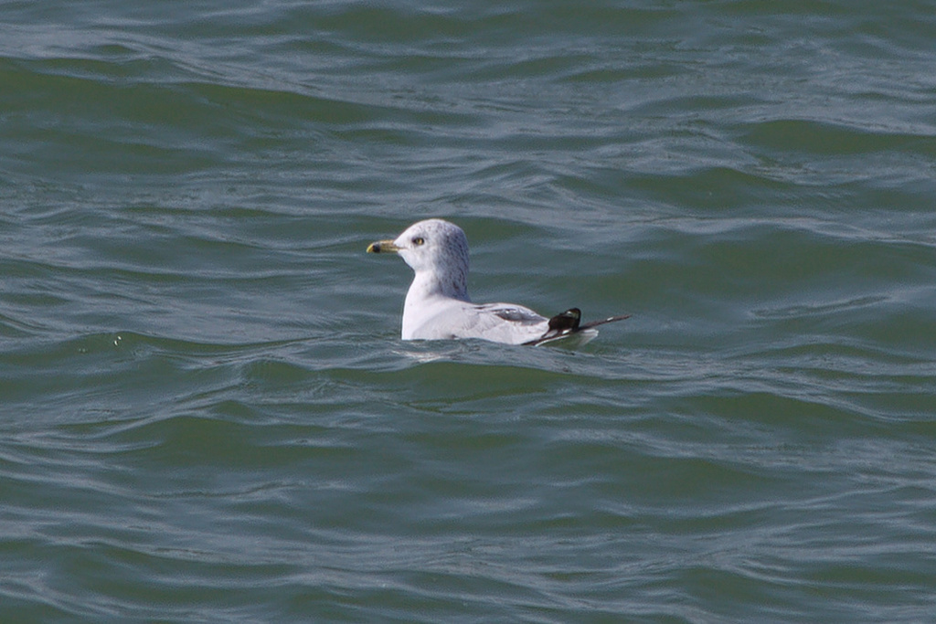
- Ring-billed GullLarus delawarensis
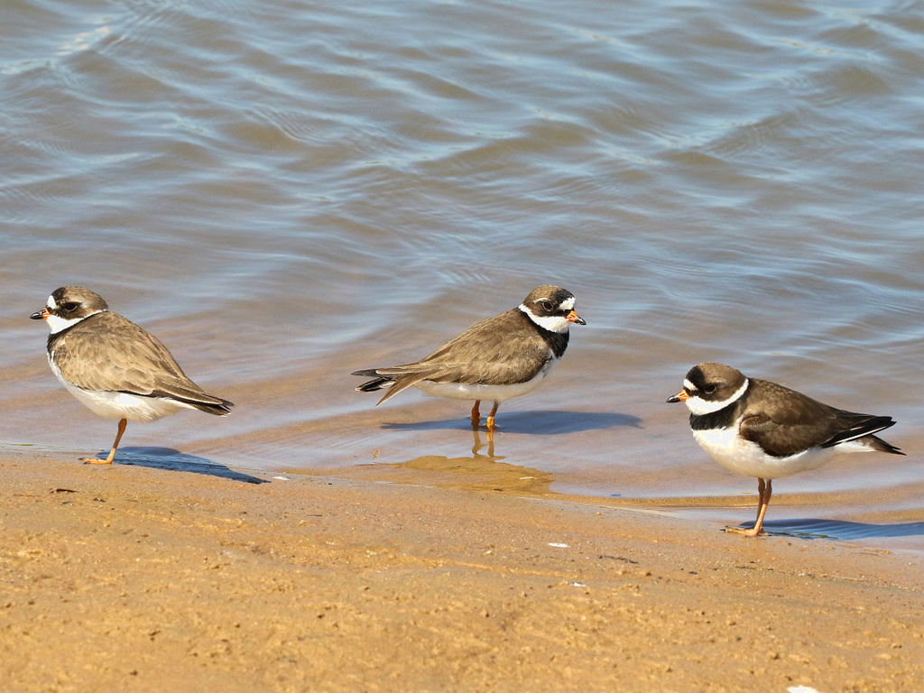
- Semipalmated PloverCharadrius semipalmatus
- Stilt SandpiperCalidris himantopus
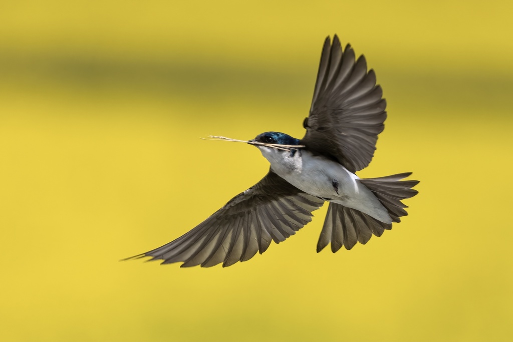
- Tree SwallowTachycineta bicolor
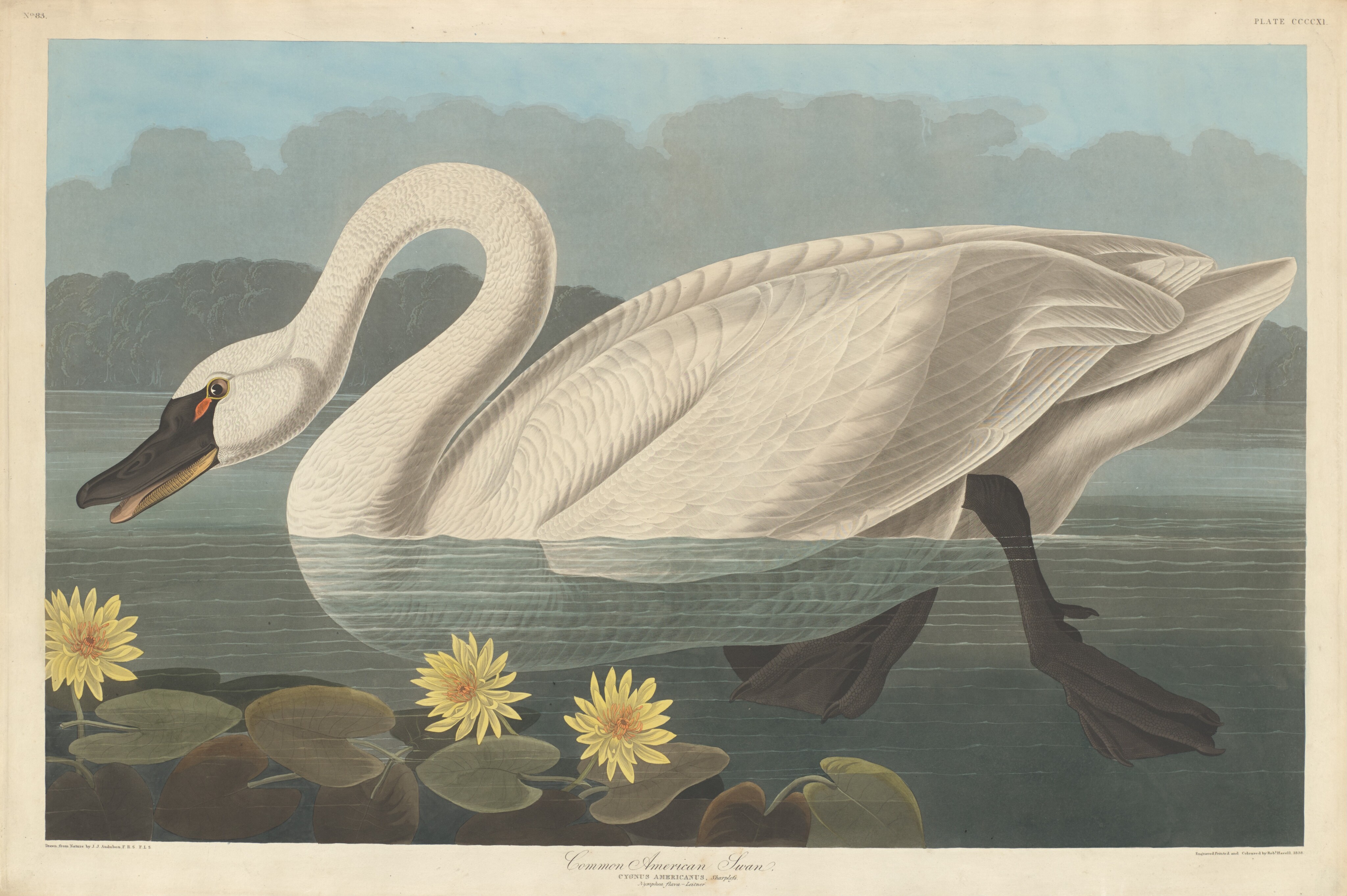
- Tundra SwanCygnus columbianus





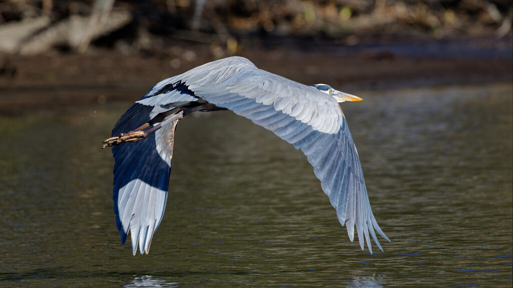

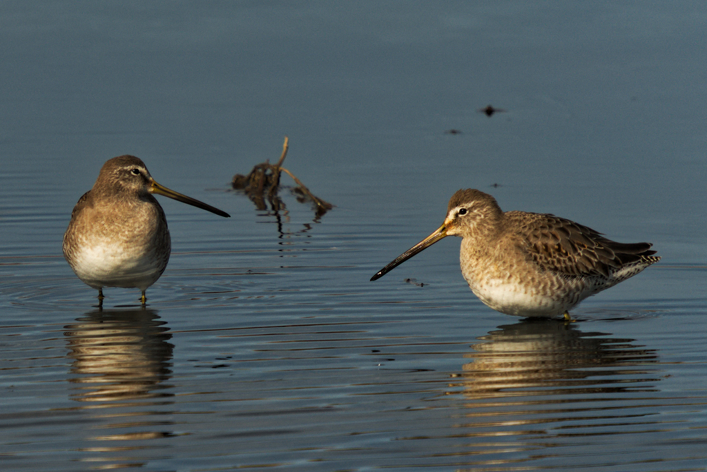
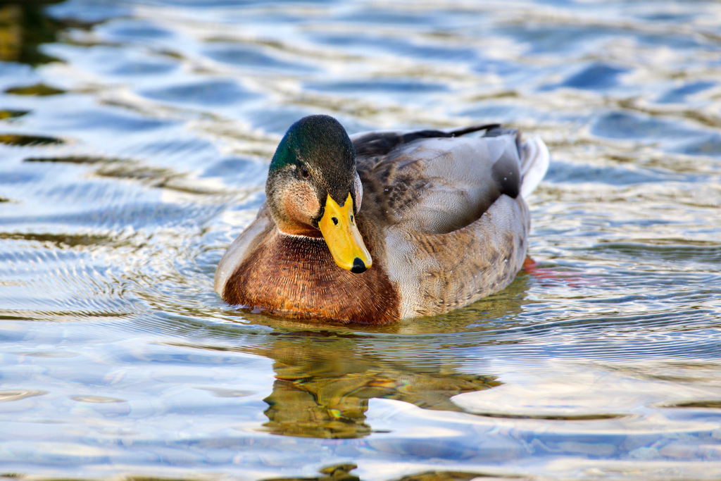
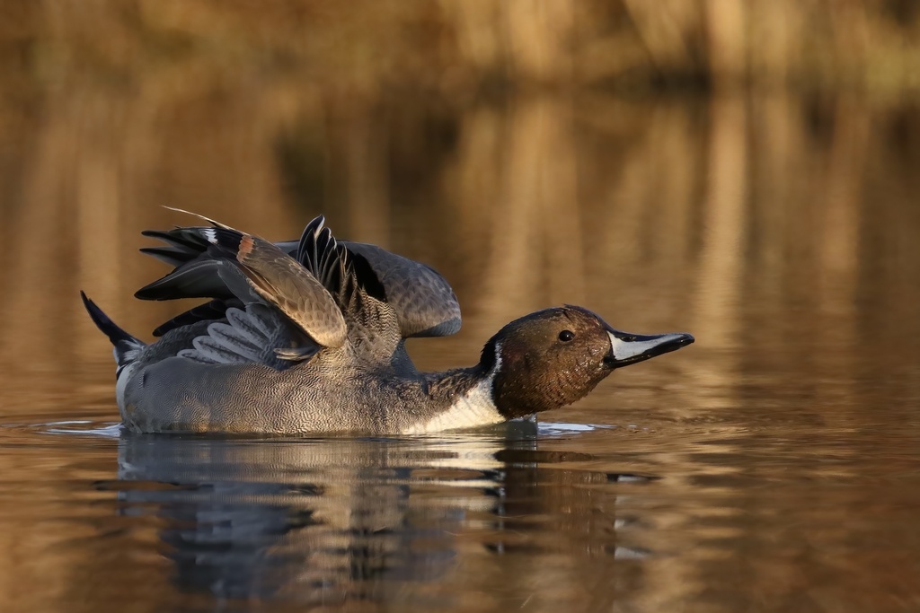
NatureServe Explorer, CC BY 4.0. USGS Gap Analysis Project habitat models.
Sources
- USGS Gap Analysis Project habitat models (2001)
- USGS GAP winter habitat model for Greater Yellowlegs Elevation sea level to 4,100 m. Slow streams only
- USGS Gap Analysis Project range maps (2001), modeled by watershed; migratory gives no dates
- NatureServe Explorer (CC BY 4.0), habitat names
- US Census TIGER/Line counties
- Names follow the USGS Gap Analysis Project (2001)