

Bird
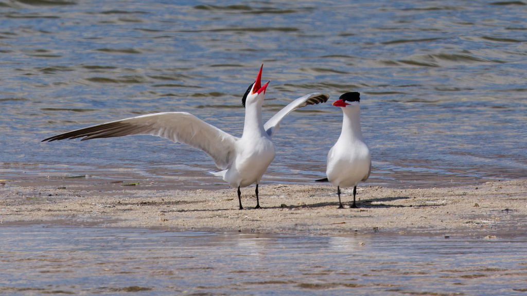
Caspian Tern
Hydroprogne caspia
Passes through West Virginia on migration. Found in 20 of 55 counties, across 2 habitats.
- Here
- On migration
- Nesting
- Not known to nest here
- Range
- 20 of 55 counties
- Habitats
- 2
At a glance
- Group
- Birds
- Here
- On migration
- Nesting
- Not known to nest here
- Range
- 20 of 55 counties
- Habitats
- 2
- Habitat models
- Summer, Winter
Where it lives
The places its habitat model includes. It is not found everywhere a habitat occurs.
Habitats in West Virginia 2
Each habitat page lists the plants and wildlife also found there.
Disturbed and introduced wetlands
Wet ground taken over by weedy or introduced plants after disturbance, such as common reed, Chinese tallow or tamarisk stands; the upland counterpart is roadsides, fields and disturbed ground.
Still water and its edges: ponds, lakes, millponds and reservoirs.
Other habitats in its models (39)
Land cover, or classes with no habitat page in West Virginia. Those recorded in West Virginia first, the rest by region.
Elsewhere in the South (28)
- Atlantic and Gulf Coastal Plain Interdunal Wetland Summer and winter.
- Atlantic Coastal Plain Central Fresh-Oligohaline Tidal Marsh Summer and winter.
- Atlantic Coastal Plain Central Salt and Brackish Tidal Marsh Summer and winter.
- Atlantic Coastal Plain Embayed Region Tidal Freshwater Marsh Summer and winter.
- Atlantic Coastal Plain Embayed Region Tidal Salt and Brackish Marsh Summer and winter.
- Atlantic Coastal Plain Indian River Lagoon Tidal Marsh Summer and winter.
- Atlantic Coastal Plain Large Natural Lakeshore Summer and winter.
- Atlantic Coastal Plain Sea Island Beach Summer and winter.
- Atlantic Coastal Plain Southern Beach Summer and winter.
- Atlantic Coastal Plain Southern Dune and Maritime Grassland Summer and winter.
- Atlantic Coastal Plain Xeric River Dune Summer and winter.
- Central and Upper Texas Coast Dune and Coastal Grassland Summer and winter.
- East Gulf Coastal Plain Dune and Coastal Grassland Summer and winter.
- Florida Big Bend Fresh-Oligohaline Tidal Marsh Summer and winter.
- Florida Big Bend Salt-Brackish Tidal Marsh Summer and winter.
- Florida Panhandle Beach Vegetation Summer and winter.
- Floridian Highlands Freshwater Marsh Summer and winter.
- Louisiana Beach Summer and winter.
- Mississippi Sound Salt and Brackish Tidal Marsh Summer and winter.
- South Florida Everglades Sawgrass Marsh Summer and winter.
- South Florida Freshwater Slough and Gator Hole Summer and winter.
- South Florida Shell Hash Beach Summer and winter.
- Southeast Florida Beach Summer and winter.
- Southwest Florida Beach Summer and winter.
- Southwest Florida Dune and Coastal Grassland Summer and winter.
- Texas Coastal Bend Beach Summer and winter.
- Upper Texas Coast Beach Summer and winter.
- West Gulf Coastal Plain Near-Coast Large River Swamp Summer and winter.
Northeast (2)
- Atlantic Coastal Plain Northern Fresh and Oligohaline Tidal Marsh Summer and winter.
- Atlantic Coastal Plain Northern Tidal Salt Marsh Summer and winter.
Land cover and other classes (9)
- Atlantic Coastal Plain Clay-Based Carolina Bay Herbaceous Wetland Summer and winter.
- East Gulf Coastal Plain Large River Floodplain Forest - Herbaceous Modifier Summer and winter.
- Gulf and Atlantic Coastal Plain Tidal Marsh Systems Summer and winter.
- Open Water (Brackish/Salt) Summer and winter.
- South-Central Interior Large Floodplain - Herbaceous Modifier Summer and winter.
- Texas-Louisiana Coastal Prairie Slough Summer and winter.
- Unconsolidated Shore Summer and winter.
- Unconsolidated Shore (Beach/Dune) Summer and winter.
- Unconsolidated Shore (Lake/River/Pond) Summer and winter.
Seasons in West Virginia
- Migratory: does not nest here, in 20 of 55 counties.
Also found in its main habitats
Its main habitats in West Virginia, by how much of its habitat model each one is, with the birds most characteristic of each and the plants that grow wild there. Shared habitat, not food.
Disturbed and introduced wetlands
Birds 120
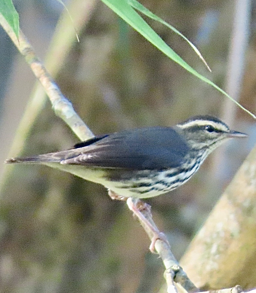
- Northern WaterthrushSeiurus noveboracensis
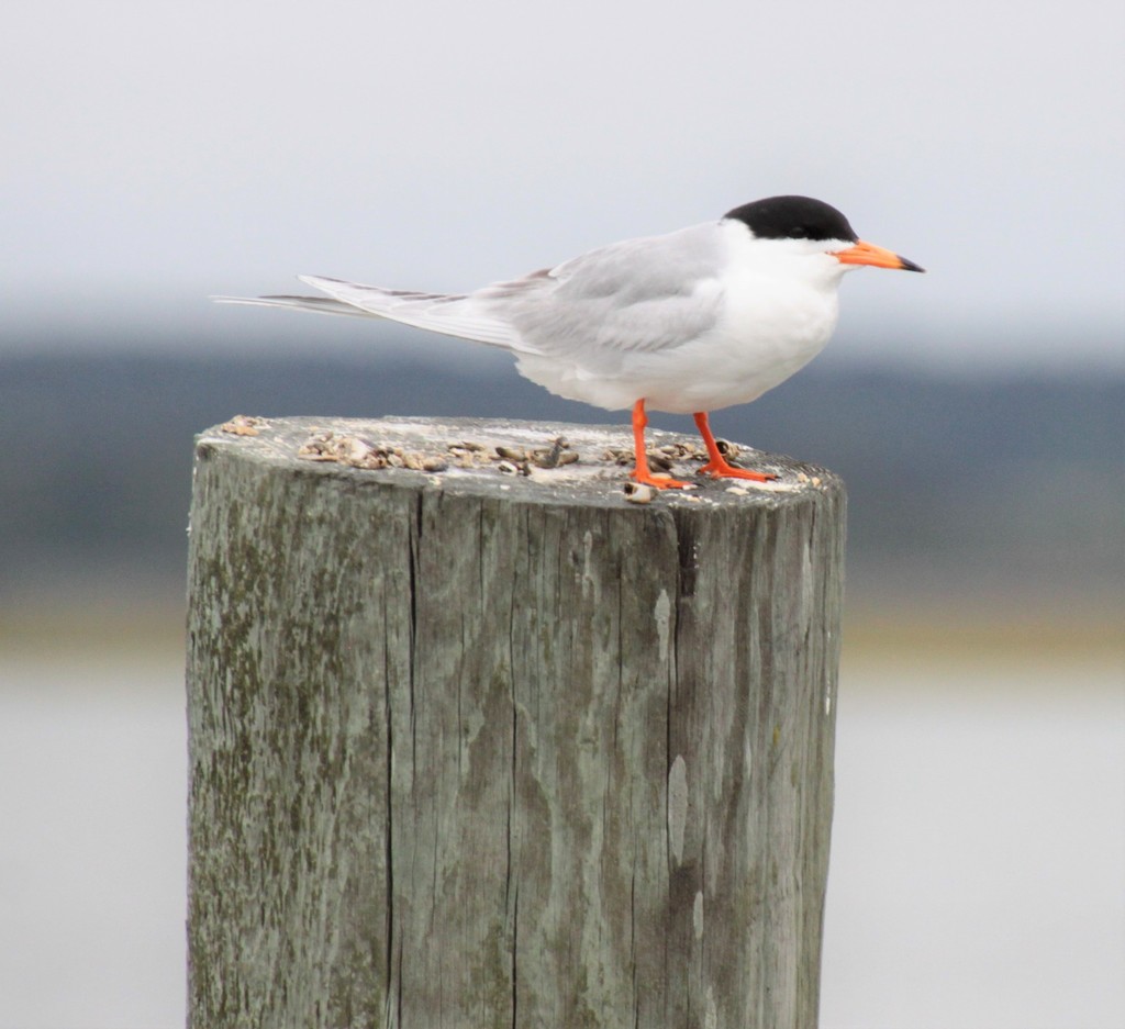
- Forster's TernSterna forsteri
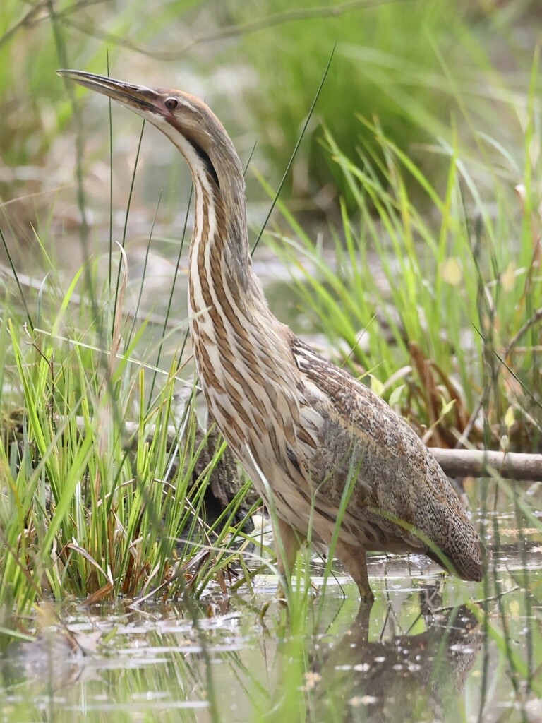
- American BitternBotaurus lentiginosus
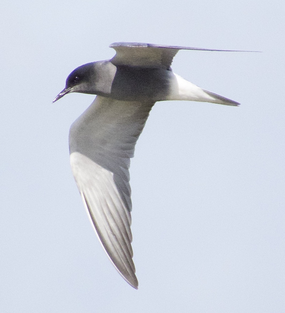
- Black TernChlidonias niger
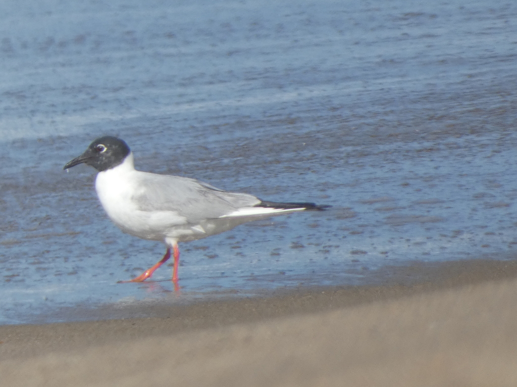
- Bonaparte's GullChroicocephalus philadelphia
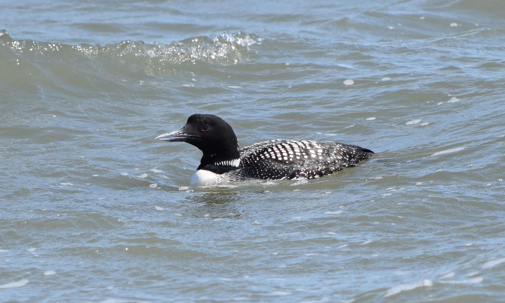
- Common LoonGavia immer
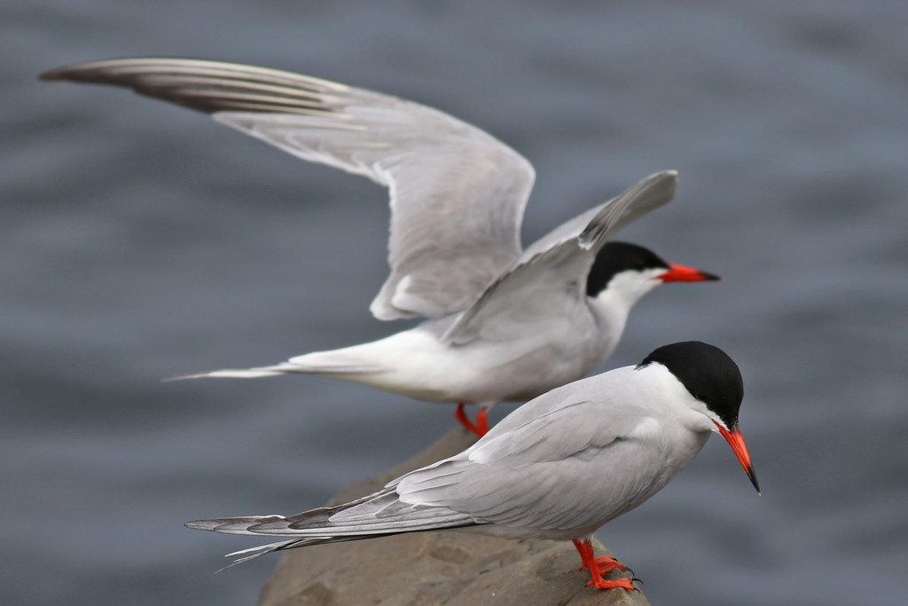
- Common TernSterna hirundo
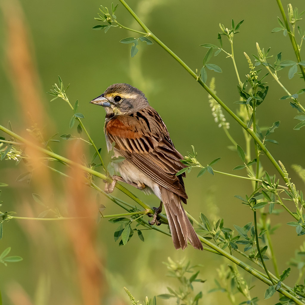
- DickcisselSpiza americana
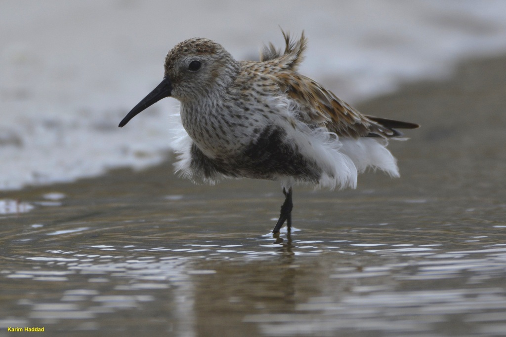
- DunlinCalidris alpina
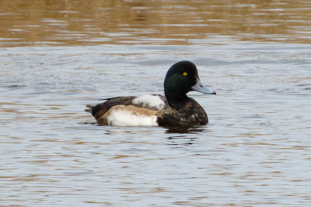
- Greater ScaupAythya marila
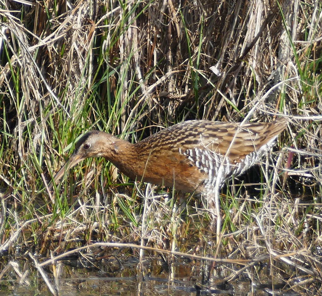
- King RailRallus elegans
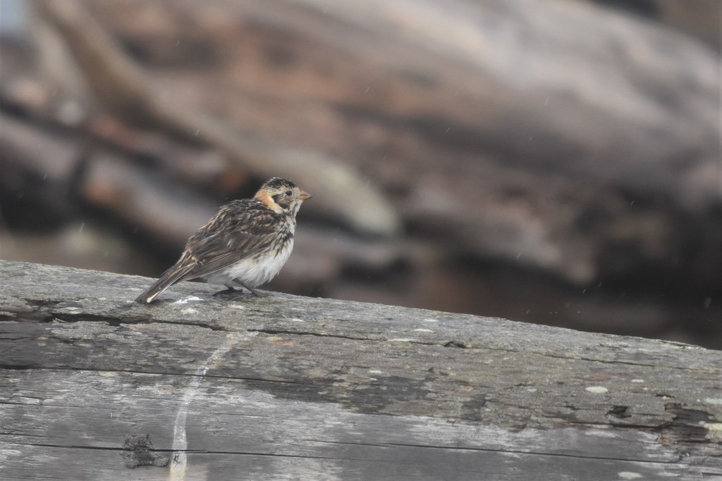
- Lapland LongspurCalcarius lapponicus
Plants 12
- Slender FimbryFimbristylis autumnalis
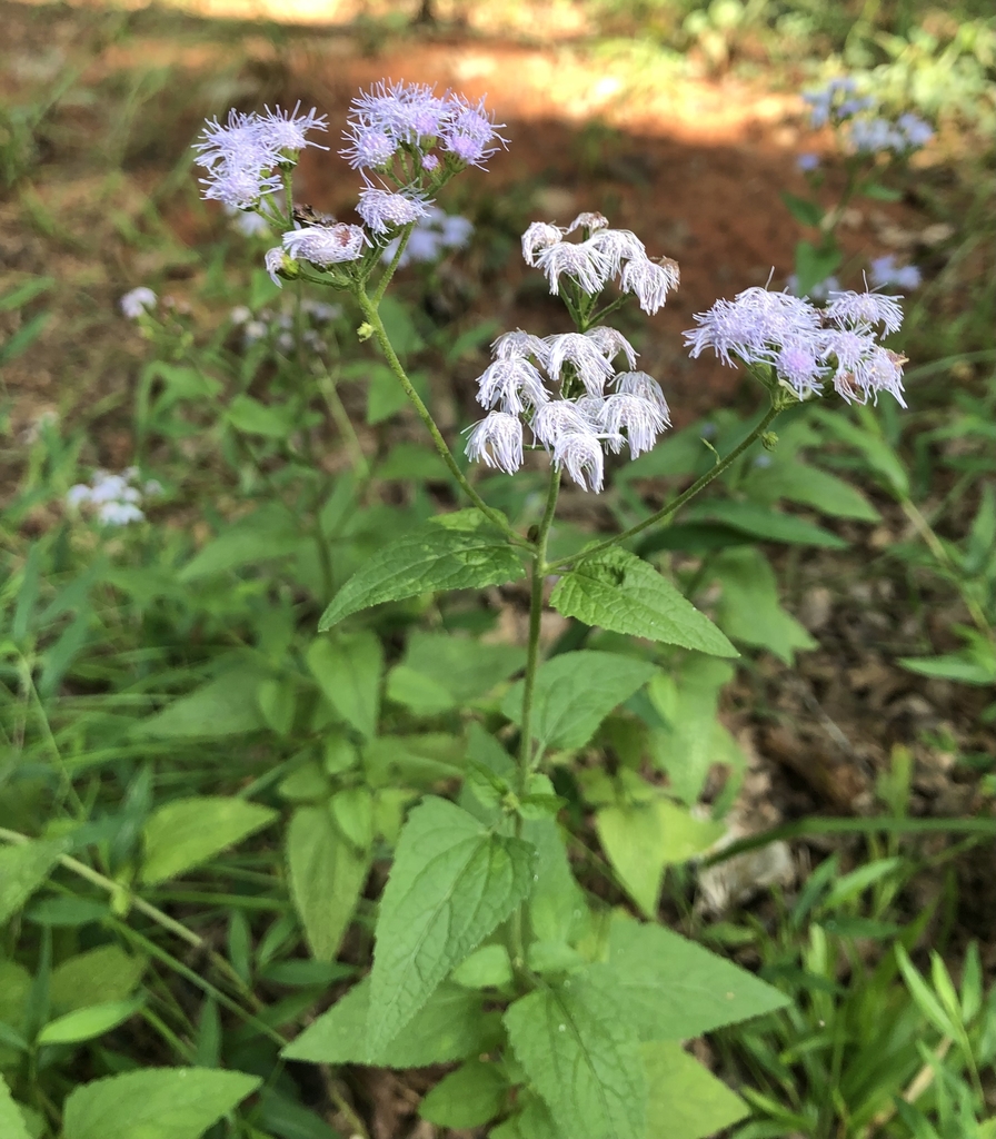
- Blue MistflowerConoclinium coelestinum
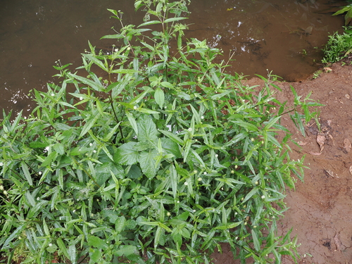
- False DaisyEclipta prostrata
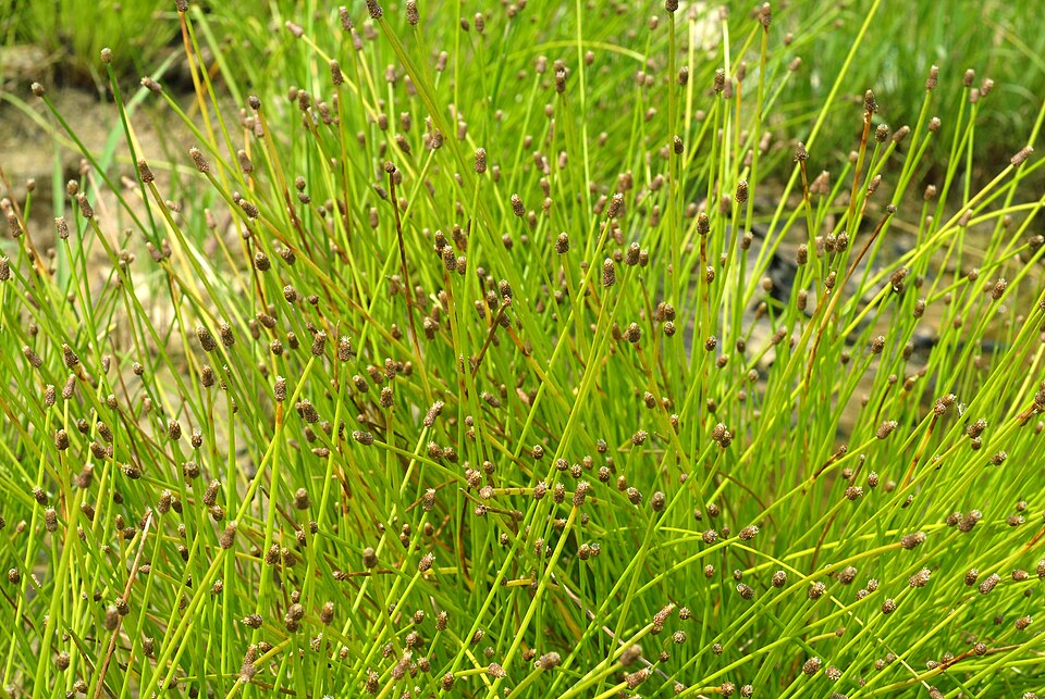
- Intermediate Spike RushEleocharis intermedia
- Blunt Spike RushEleocharis obtusa
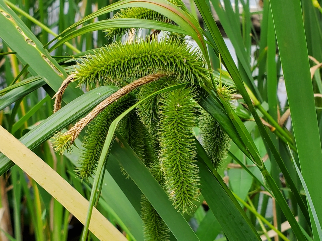
- Bristly SedgeCarex comosa
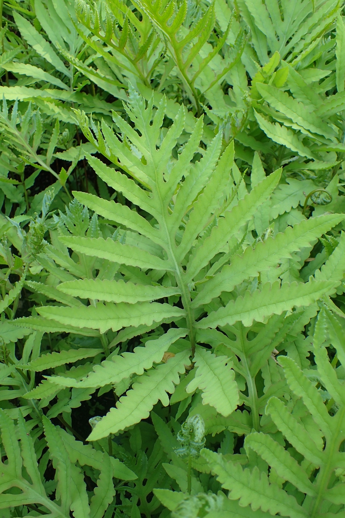
- Sensitive FernOnoclea sensibilis
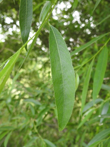
- Heart Leaf WillowSalix eriocephala
- Cuscuta gronovii var. gronoviiCuscuta gronovii var. gronovii
- European Gray WillowSalix cinerea
- Ricefield FlatsedgeCyperus iria
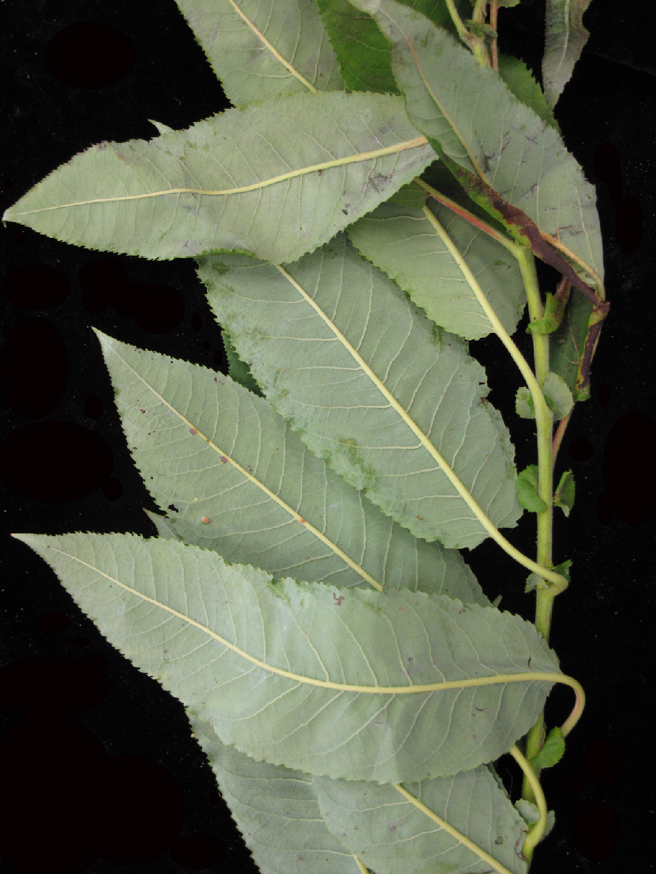
- White WillowSalix alba
Ponds, lakes and their shores
Birds 58
- BuffleheadBucephala albeola
- Common GoldeneyeBucephala clangula
- Eurasian WigeonAnas penelope
- Long-tailed DuckClangula hyemalis
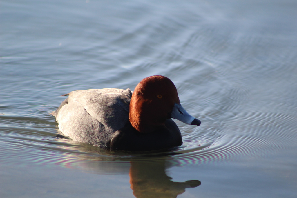
- RedheadAythya americana
- American BitternBotaurus lentiginosus
- Black TernChlidonias niger
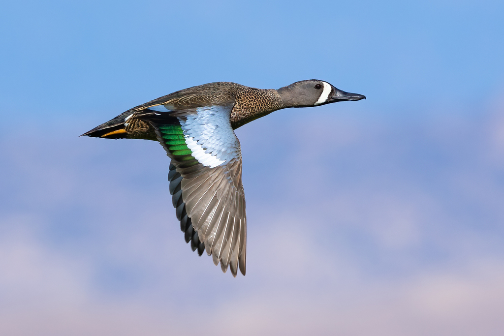
- Blue-winged TealAnas discors
- Bonaparte's GullChroicocephalus philadelphia
- Common LoonGavia immer
- Common TernSterna hirundo
- Greater ScaupAythya marila
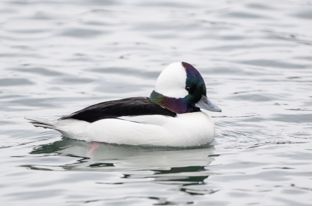
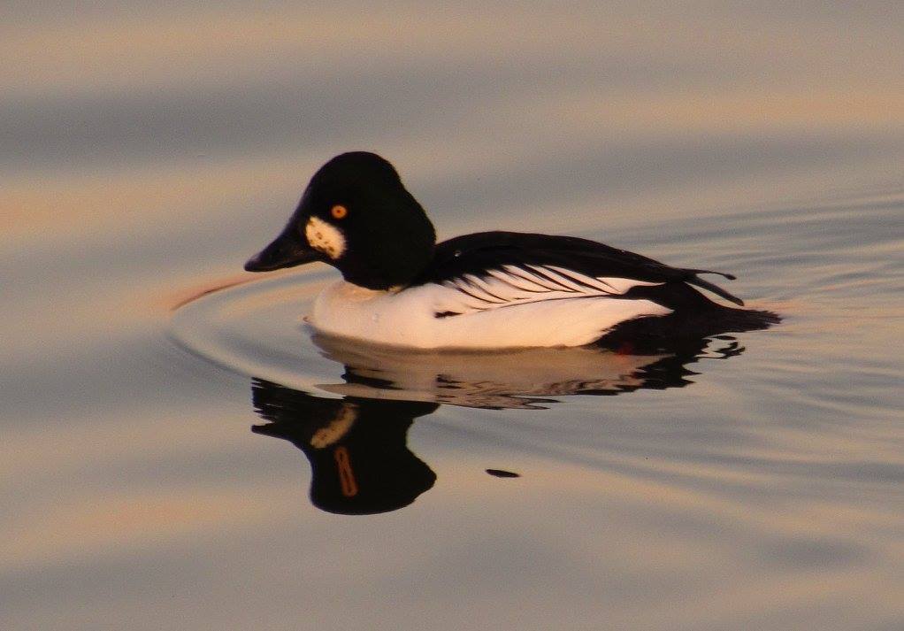
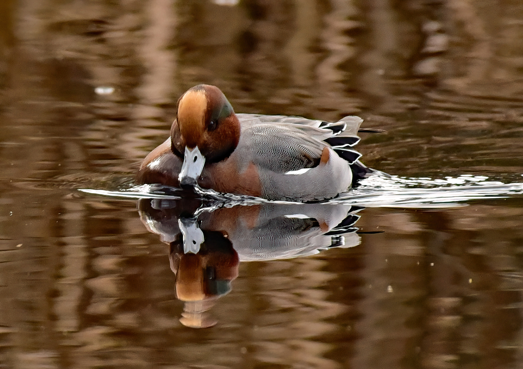
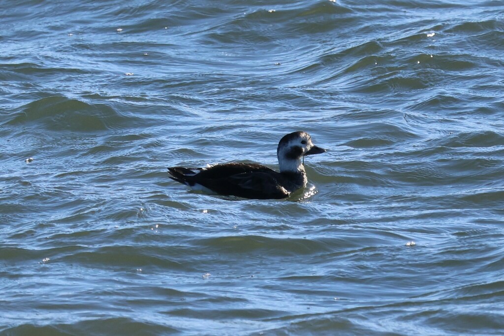
Plants 109
- Stiff Yellow FlaxLinum medium
- Northeastern BulrushScirpus ancistrochaetus
- Sago PondweedStuckenia pectinata
- Common BladderwortUtricularia macrorhiza
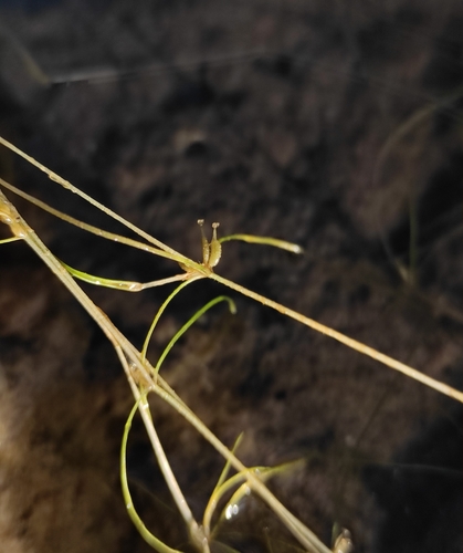
- Horned PondweedZannichellia palustris
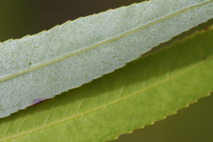
- Coastal Plain WillowSalix caroliniana
- Northern St. John's-wortHypericum boreale
- Southern Marsh St. John's-wortTriadenum tubulosum
- White Water CrowfootRanunculus longirostris
- Engelmann's ArrowheadSagittaria engelmanniana
- Grassy ArrowheadSagittaria graminea
- Whiteroot RushJuncus brachycarpus
Sources
- USGS Gap Analysis Project habitat models (2001)
- USGS GAP winter habitat model for Caspian Tern Slow streams only
- USGS Gap Analysis Project range maps (2001), modeled by watershed; migratory gives no dates
- NatureServe Explorer (CC BY 4.0), habitat names
- US Census TIGER/Line counties
- Names follow the USGS Gap Analysis Project (2001)