

Bird
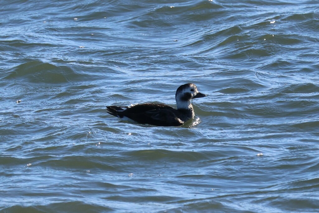
Long-tailed Duck
Clangula hyemalis
Passes through West Virginia on migration. Found in 17 of 55 counties, across 1 habitat.
- Here
- On migration
- Nesting
- Not known to nest here
- Range
- 17 of 55 counties
- Habitats
- 1
At a glance
- Group
- Birds
- Here
- On migration
- Nesting
- Not known to nest here
- Range
- 17 of 55 counties
- Habitats
- 1
- Habitat models
- Winter
Where it lives
The places its habitat model includes. It is not found everywhere a habitat occurs.
Habitats in West Virginia 1
Each habitat page lists the plants and wildlife also found there.
Still water and its edges: ponds, lakes, millponds and reservoirs.
Other habitats in its models (2)
Land cover, or classes with no habitat page in West Virginia.
- Open Water (Brackish/Salt) Winter.
- Open Water (Aquaculture) Winter.
Seasons in West Virginia
- Migratory: does not nest here, in 17 of 55 counties.
Also found in this habitat
Wildlife 64
Other animals whose habitat models include the same habitats in West Virginia. Not sighting records.
- American BitternBotaurus lentiginosus
- American Black DuckAnas rubripes
- American CootFulica americana
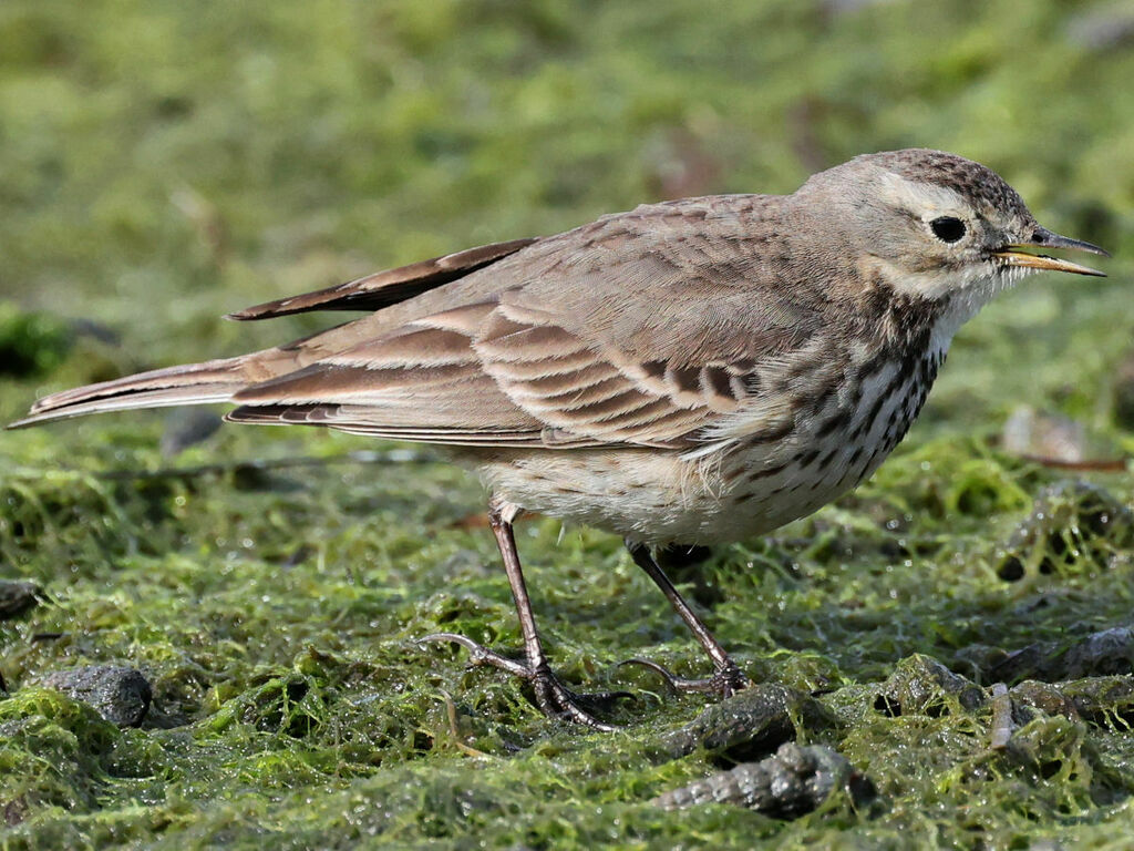
- American PipitAnthus rubescens
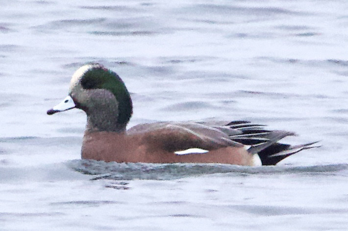
- American WigeonAnas americana
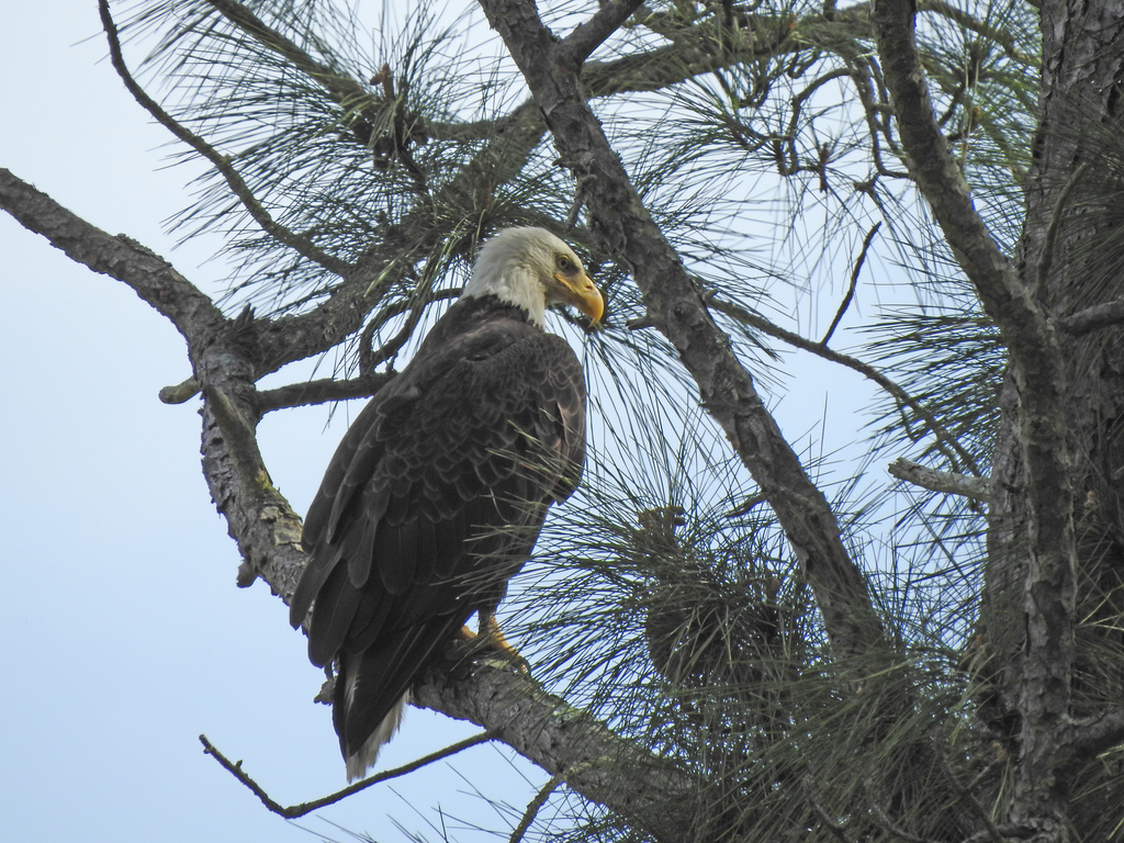
- Bald EagleHaliaeetus leucocephalus
- Bank SwallowRiparia riparia
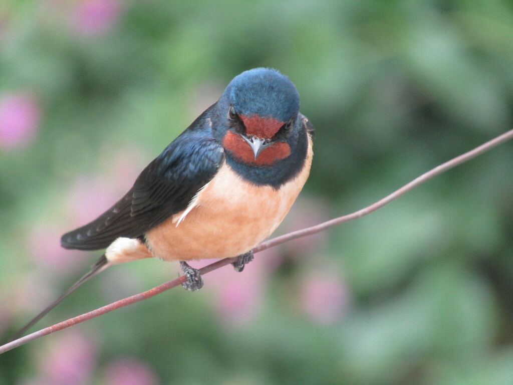
- Barn SwallowHirundo rustica
- Belted KingfisherMegaceryle alcyon
- Black TernChlidonias niger
- Black-crowned Night-heronNycticorax nycticorax
- Blue-winged TealAnas discors
- Bonaparte's GullChroicocephalus philadelphia
- BuffleheadBucephala albeola
- Canada GooseBranta canadensis
- CanvasbackAythya valisineria
- Caspian TernHydroprogne caspia
- Chimney SwiftChaetura pelagica
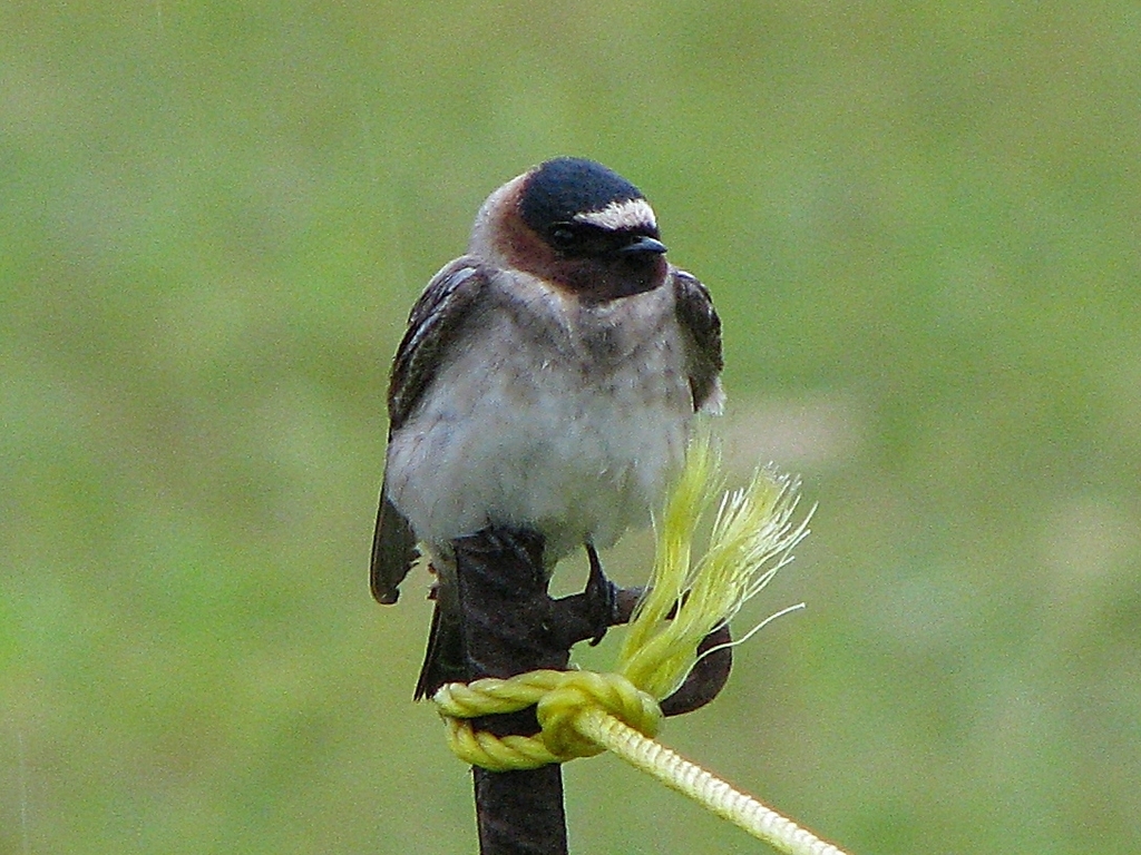
- Cliff SwallowPetrochelidon pyrrhonota
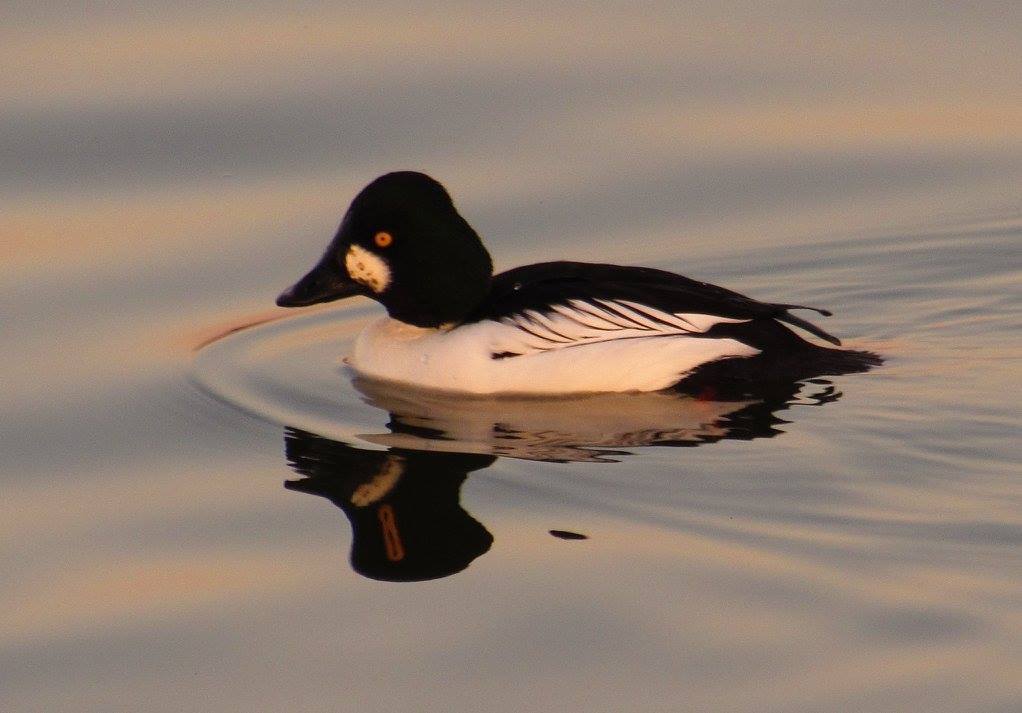
- Common GoldeneyeBucephala clangula
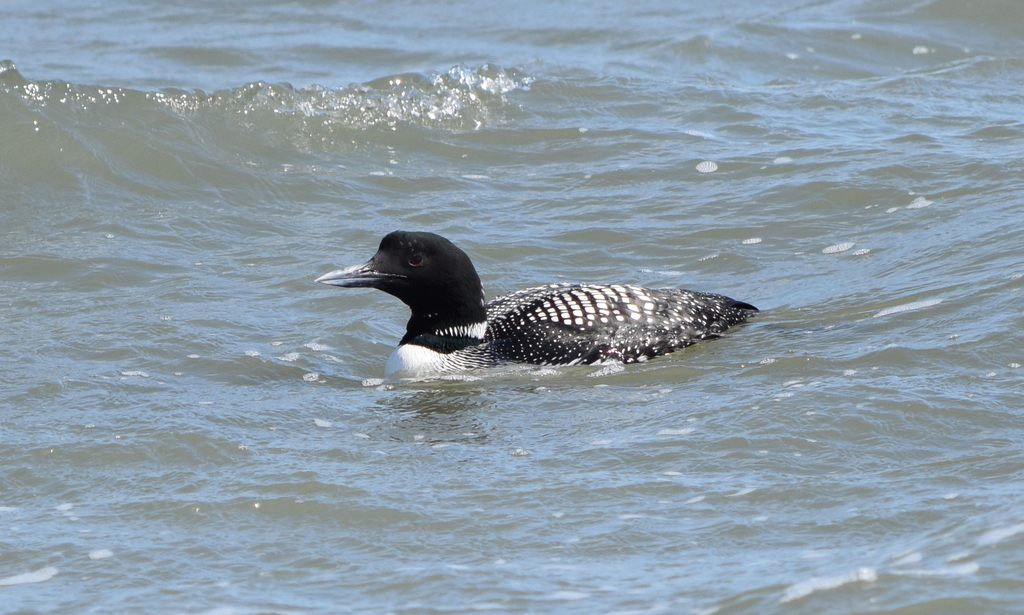
- Common LoonGavia immer
- Common NighthawkChordeiles minor
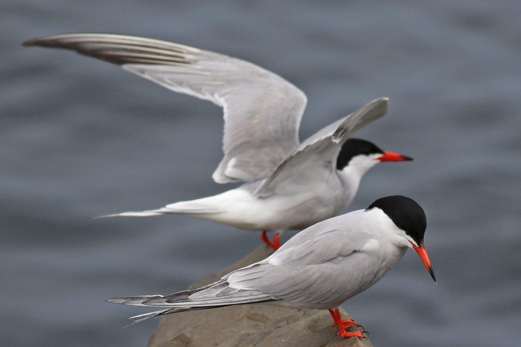
- Common TernSterna hirundo
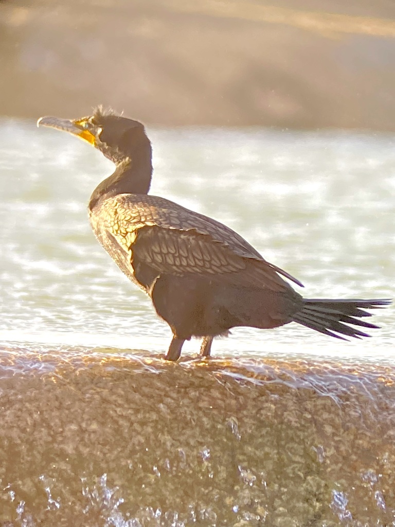
- Double-crested CormorantPhalacrocorax auritus
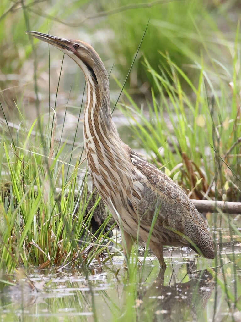
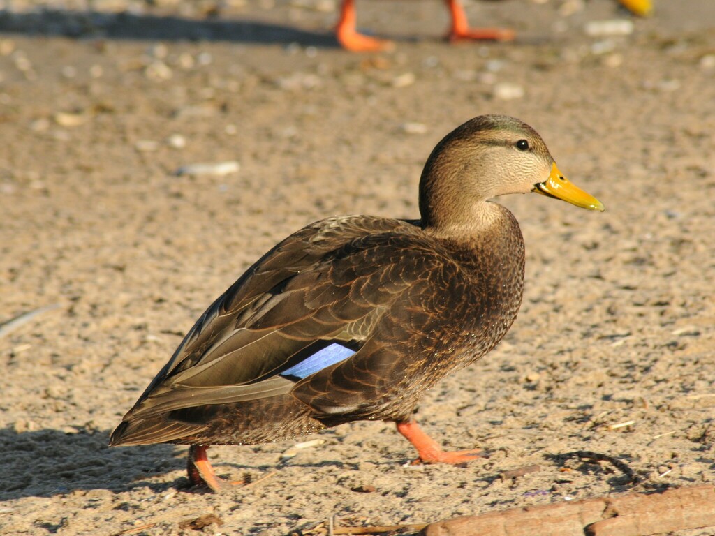
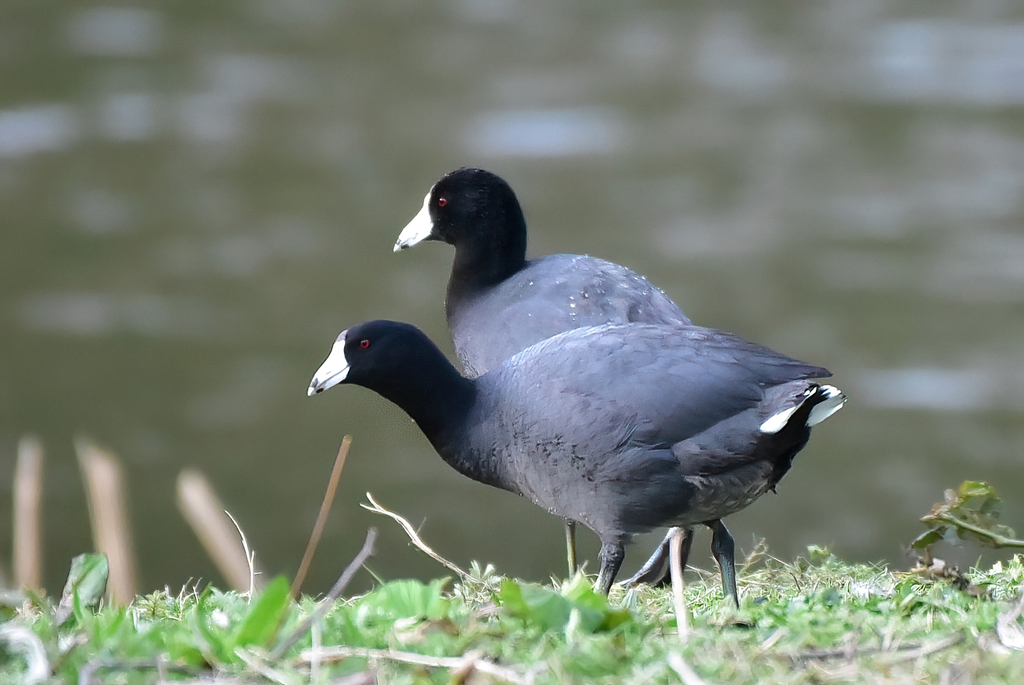

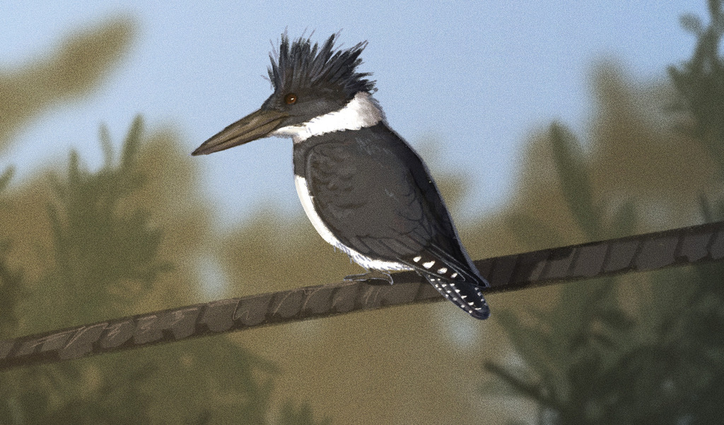
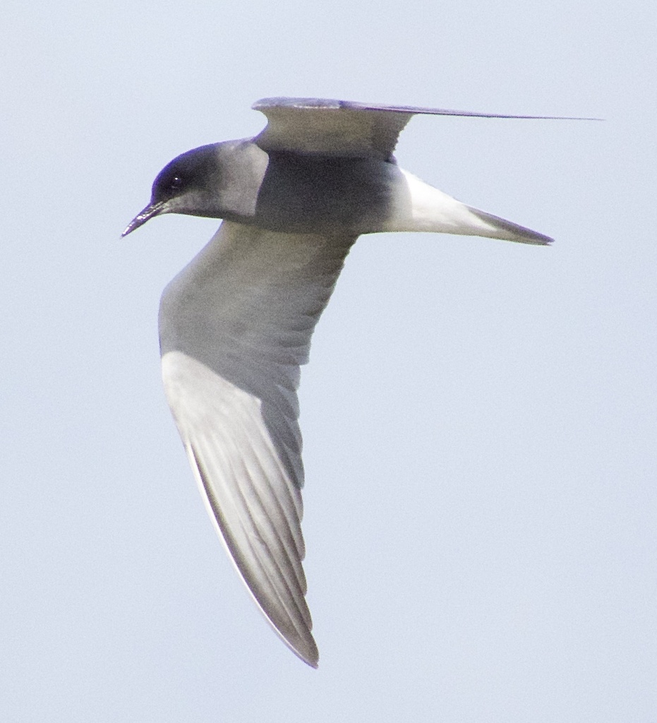

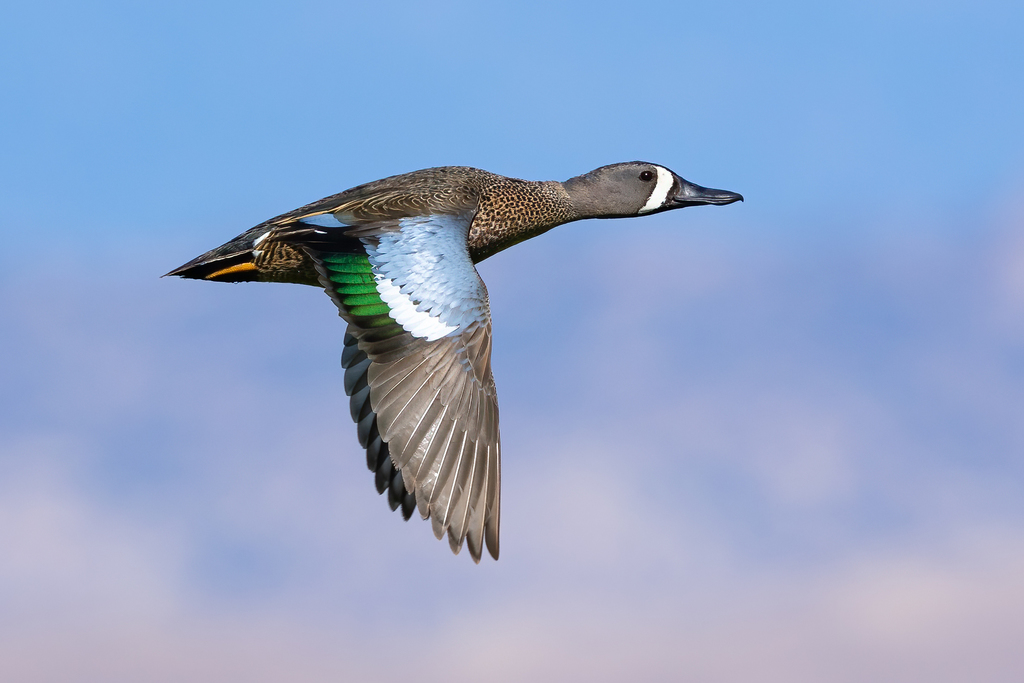
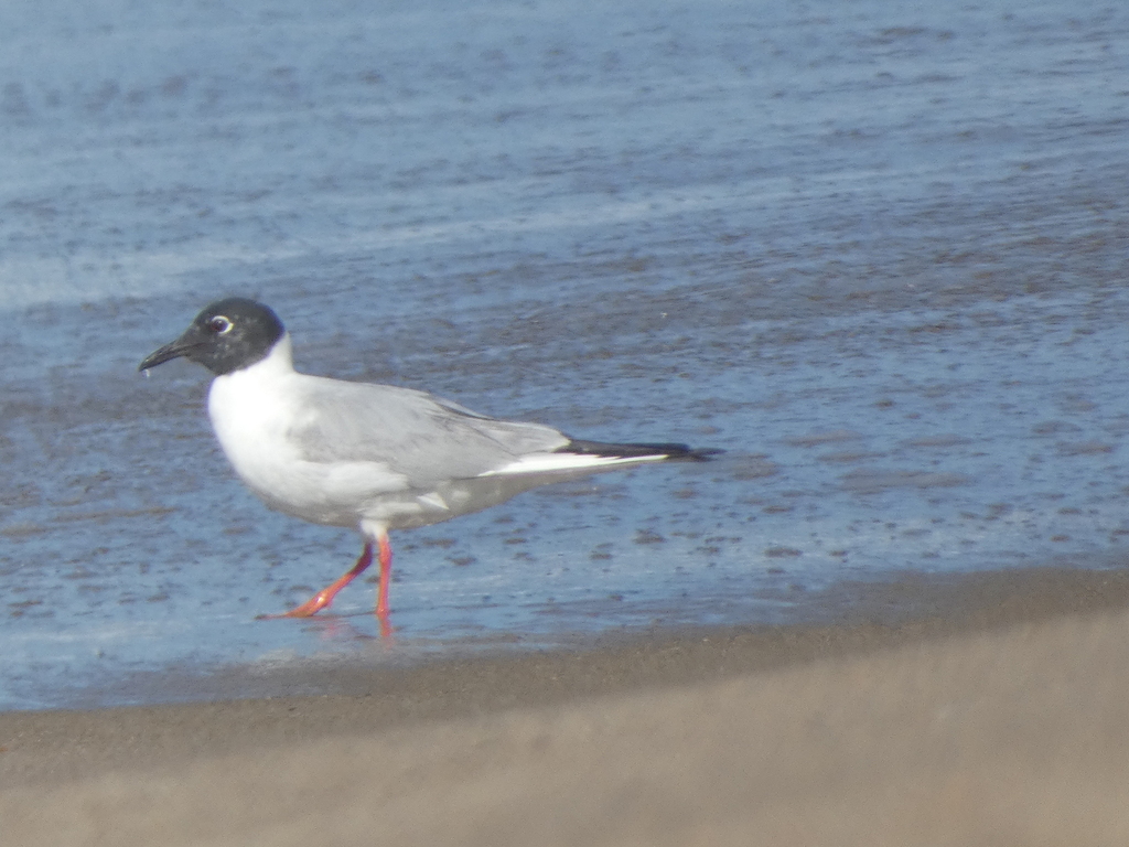
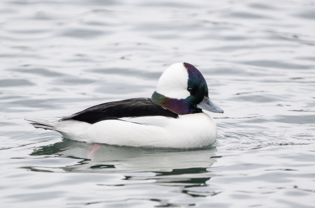
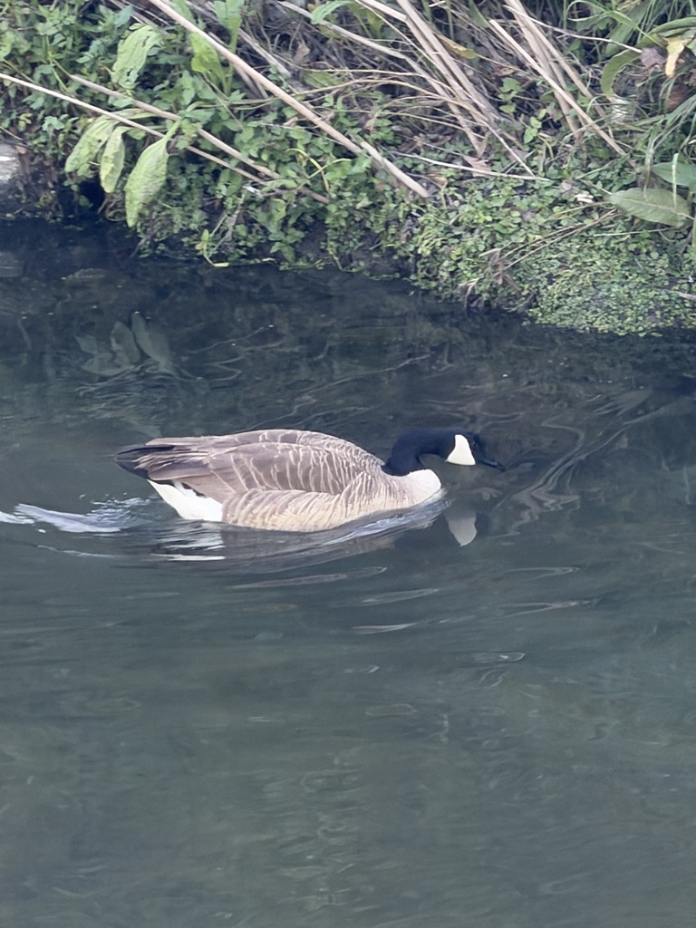
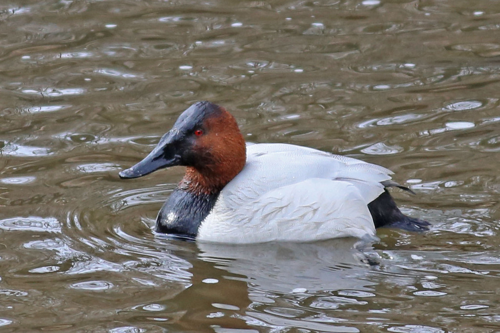
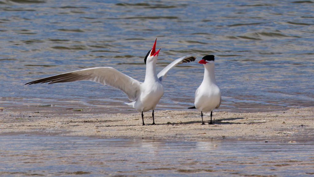


NatureServe Explorer, CC BY 4.0. USGS Gap Analysis Project habitat models.
Sources
- USGS Gap Analysis Project habitat models (2001)
- USGS GAP winter habitat model for Long-tailed Duck
- USGS Gap Analysis Project range maps (2001), modeled by watershed; migratory gives no dates
- NatureServe Explorer (CC BY 4.0), habitat names
- US Census TIGER/Line counties
- Names follow the USGS Gap Analysis Project (2001)