

Bird
Bank Swallow
Riparia riparia
A summer resident that nests in West Virginia. Found in all 55 counties, across 12 habitats.
- Here
- Summer and on migration
- Nesting
- Nests here
- Range
- All 55 counties
- Habitats
- 12

At a glance
- Group
- Birds
- Here
- Summer and on migration
- Nesting
- Nests here
- Range
- All 55 counties
- Habitats
- 12
- Habitat models
- Summer
Where it lives
The places its habitat model includes. It is not found everywhere a habitat occurs.
Habitats in West Virginia 12
Each habitat page lists the plants and wildlife also found there.
Disturbed and introduced wetlands
Wet ground taken over by weedy or introduced plants after disturbance, such as common reed, Chinese tallow or tamarisk stands; the upland counterpart is roadsides, fields and disturbed ground.
Floodplain and bottomland forests
Forests on low ground beside rivers and streams that flood from time to time.
Open, herb-covered wetlands with fresh, non-tidal water.
Still water and its edges: ponds, lakes, millponds and reservoirs.
Streams, rivers and their banks
Flowing water and its banks, bars and rocky shoals.
Open, wet, grassy or sedgy ground that is not a bog.
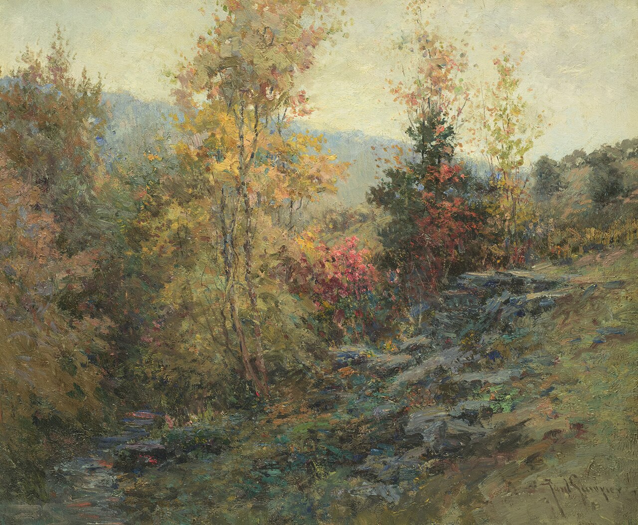
Forests and open woodlands on dry ridges and slopes, often oak or pine.
Granite and other acidic rock outcrops
Bare or thin-soil rock on granite, gneiss, sandstone, quartzite and similar acidic rock, including granite flatrocks and domes.
Treeless grassy or shrubby summits and ridges in the high mountains.
Roadsides, fields and disturbed ground
Ground opened by people: roadsides, old fields, pastures, fencerows and lots.
Steep, sun-baked slopes of loose shale with sparse oaks and Virginia pine and their own endemic wildflowers. Linked only where the source names shale barrens; calcareous shale stays with the limestone glades.
Other habitats in its models (100)
Land cover, or classes with no habitat page in West Virginia. Those recorded in West Virginia first, the rest by region.
In West Virginia 1
- North-Central Appalachian Circumneutral Cliff and Talus Summer, only within 250 m of water.
Elsewhere in the South (57)
- Atlantic and Gulf Coastal Plain Interdunal Wetland Summer.
- Atlantic Coastal Plain Central Fresh-Oligohaline Tidal Marsh Summer.
- Atlantic Coastal Plain Central Salt and Brackish Tidal Marsh Summer.
- Atlantic Coastal Plain Embayed Region Tidal Freshwater Marsh Summer.
- Atlantic Coastal Plain Embayed Region Tidal Salt and Brackish Marsh Summer.
- Atlantic Coastal Plain Indian River Lagoon Tidal Marsh Summer.
- Atlantic Coastal Plain Large Natural Lakeshore Summer.
- Atlantic Coastal Plain Sea Island Beach Summer.
- Atlantic Coastal Plain Southern Beach Summer.
- Atlantic Coastal Plain Southern Dune and Maritime Grassland Summer.
- Atlantic Coastal Plain Xeric River Dune Summer.
- Central and Upper Texas Coast Dune and Coastal Grassland Summer.
- Central Florida Herbaceous Pondshore Summer.
- Central Florida Herbaceous Seep Summer.
- Central Interior Highlands Calcareous Glade and Barrens Summer, only within 250 m of water.
- Central Interior Highlands Dry Acidic Glade and Barrens Summer, only within 250 m of water.
- Cumberland Sandstone Glade and Barrens Summer, only within 250 m of water.
- East Gulf Coastal Plain Dry Chalk Bluff Summer, only within 250 m of water.
- East Gulf Coastal Plain Dune and Coastal Grassland Summer.
- East Gulf Coastal Plain Savanna and Wet Prairie Summer.
- Edwards Plateau Limestone Savanna and Woodland Summer, only within 250 m of water.
- Florida Big Bend Fresh-Oligohaline Tidal Marsh Summer.
- Florida Big Bend Salt-Brackish Tidal Marsh Summer.
- Florida Dry Prairie Summer, only within 250 m of water.
- Florida Panhandle Beach Vegetation Summer.
- Florida Peninsula Inland Scrub Summer, only within 250 m of water.
- Floridian Highlands Freshwater Marsh Summer.
- Louisiana Beach Summer.
- Mississippi Sound Salt and Brackish Tidal Marsh Summer.
- Nashville Basin Limestone Glade Summer, only within 250 m of water.
- Ridge and Valley Calcareous Valley Bottom Glade and Woodland Summer, only within 250 m of water.
- South Florida Everglades Sawgrass Marsh Summer.
- South Florida Freshwater Slough and Gator Hole Summer.
- South Florida Shell Hash Beach Summer.
- South Florida Wet Marl Prairie Summer.
- Southeast Florida Beach Summer.
- Southeastern Great Plains Tallgrass Prairie Summer, only within 250 m of water.
- Southern and Central Appalachian Bog and Fen Summer.
- Southern Appalachian Granitic Dome Summer, only within 250 m of water.
- Southern Appalachian Montane Cliff Summer, only within 250 m of water.
- Southern Appalachian Rocky Summit Summer, only within 250 m of water.
- Southern Blackland Tallgrass Prairie Summer, only within 250 m of water.
- Southern Coastal Plain Herbaceous Seepage Bog Summer.
- Southern Interior Calcareous Cliff Summer, only within 250 m of water.
- Southern Piedmont Cliff Summer, only within 250 m of water.
- Southern Piedmont Glade and Barrens Summer, only within 250 m of water.
- Southern Piedmont Granite Flatrock Summer, only within 250 m of water.
- Southwest Florida Beach Summer.
- Southwest Florida Dune and Coastal Grassland Summer.
- Tamaulipan Calcareous Thornscrub Summer, only within 250 m of water.
- Tamaulipan Mixed Deciduous Thornscrub Summer, only within 250 m of water.
- Texas Coastal Bend Beach Summer.
- Texas Saline Coastal Prairie Summer.
- Texas-Louisiana Coastal Prairie Summer, only within 250 m of water.
- Upper Texas Coast Beach Summer.
- West Gulf Coastal Plain Northern Calcareous Prairie Summer, only within 250 m of water.
- West Gulf Coastal Plain Southern Calcareous Prairie Summer, only within 250 m of water.
Northeast (4)
- Atlantic Coastal Plain Northern Fresh and Oligohaline Tidal Marsh Summer.
- Atlantic Coastal Plain Northern Tidal Salt Marsh Summer.
- Central Appalachian Alkaline Glade and Woodland Summer, only within 250 m of water.
- Northeastern Interior Pine Barrens Summer, only within 250 m of water.
Midwest (7)
- Central Interior Acidic Cliff and Talus Summer, only within 250 m of water.
- Central Interior Calcareous Cliff and Talus Summer, only within 250 m of water.
- Central Mixedgrass Prairie Summer, only within 250 m of water.
- Central Tallgrass Prairie Summer, only within 250 m of water.
- North-Central Interior Oak Savanna Summer, only within 250 m of water.
- North-Central Interior Sand and Gravel Tallgrass Prairie Summer, only within 250 m of water.
- North-Central Oak Barrens Summer, only within 250 m of water.
Land cover and other classes (31)
- Arkansas Valley Prairie and Woodland Summer, only within 250 m of water.
- Atlantic Coastal Plain Clay-Based Carolina Bay Herbaceous Wetland Summer.
- Atlantic Coastal Plain Depression Pondshore Summer.
- Barren Land Summer, only within 250 m of water.
- Developed, Low Intensity Summer, only within 250 m of water.
- East Gulf Coastal Plain Black Belt Calcareous Prairie and Woodland - Herbaceous Modifier Summer, only within 250 m of water.
- East Gulf Coastal Plain Black Belt Calcareous Prairie and Woodland - Woodland Modifier Summer, only within 250 m of water.
- East Gulf Coastal Plain Jackson Prairie and Woodland Summer, only within 250 m of water.
- East Gulf Coastal Plain Large River Floodplain Forest - Herbaceous Modifier Summer.
- East Gulf Coastal Plain Near-Coast Pine Flatwoods - Open Understory Modifier Summer, only within 250 m of water.
- East Gulf Coastal Plain Southern Depression Pondshore Summer.
- Eastern Great Plains Wet Meadow, Prairie, and Marsh Summer.
- Eastern Highland Rim Prairie and Barrens - Dry Modifier Summer, only within 250 m of water.
- Gulf and Atlantic Coastal Plain Tidal Marsh Systems Summer.
- Harvested Forest - Grass/Forb Regeneration Summer, only within 250 m of water.
- Introduced Upland Vegetation - Annual Grassland Summer, only within 250 m of water.
- Introduced Upland Vegetation - Forbland Summer, only within 250 m of water.
- Introduced Upland Vegetation - Perennial Grassland Summer, only within 250 m of water.
- Modified/Managed Southern Tall Grassland Summer, only within 250 m of water.
- Open Water (Aquaculture) Summer.
- Open Water (Brackish/Salt) Summer.
- Quarries, Mines, Gravel Pits and Oil Wells Summer, only within 250 m of water.
- Recently Burned Grassland Summer, only within 250 m of water.
- Recently Burned Shrubland Summer, only within 250 m of water.
- South-Central Interior Large Floodplain - Herbaceous Modifier Summer.
- Tamaulipan Mesquite Upland Scrub Summer, only within 250 m of water.
- Texas-Louisiana Coastal Prairie Slough Summer.
- Unconsolidated Shore Summer.
- Unconsolidated Shore (Beach/Dune) Summer.
- Unconsolidated Shore (Lake/River/Pond) Summer.
- Western Great Plains Floodplain Systems Summer.
Seasons in West Virginia
- Migratory: does not nest here, in 51 of 55 counties.
- Summer: nests here, in 31 of 55 counties.
Also found in its main habitats
Its main habitats in West Virginia, by how much of its habitat model each one is, with the birds most characteristic of each and the plants that grow wild there. Shared habitat, not food.
Roadsides, fields and disturbed ground
Birds 89
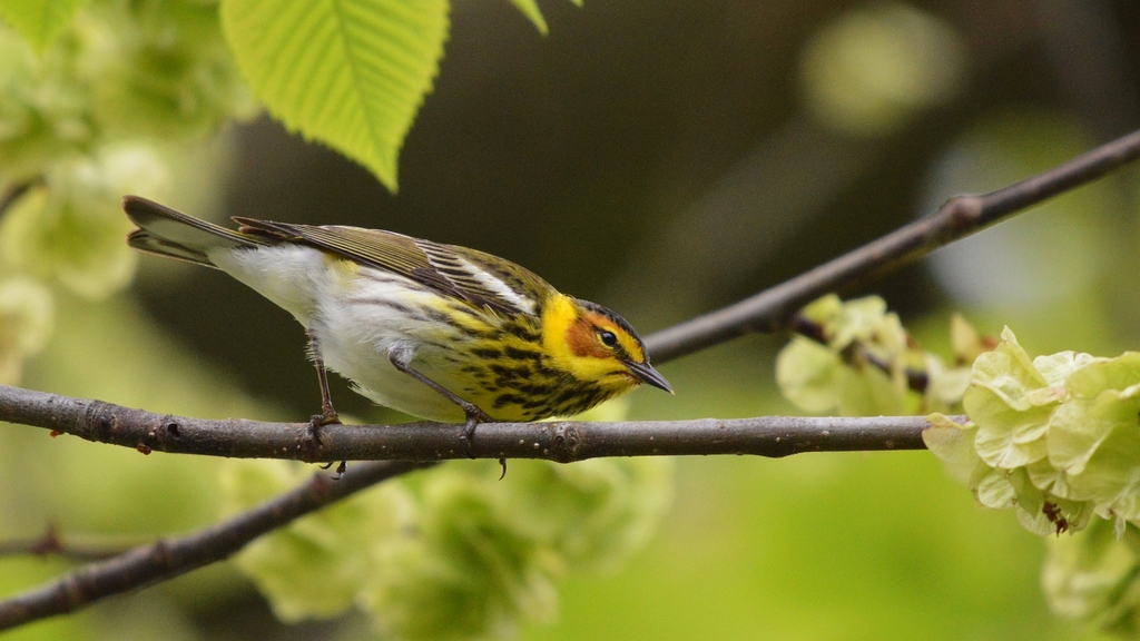
- Cape May WarblerDendroica tigrina
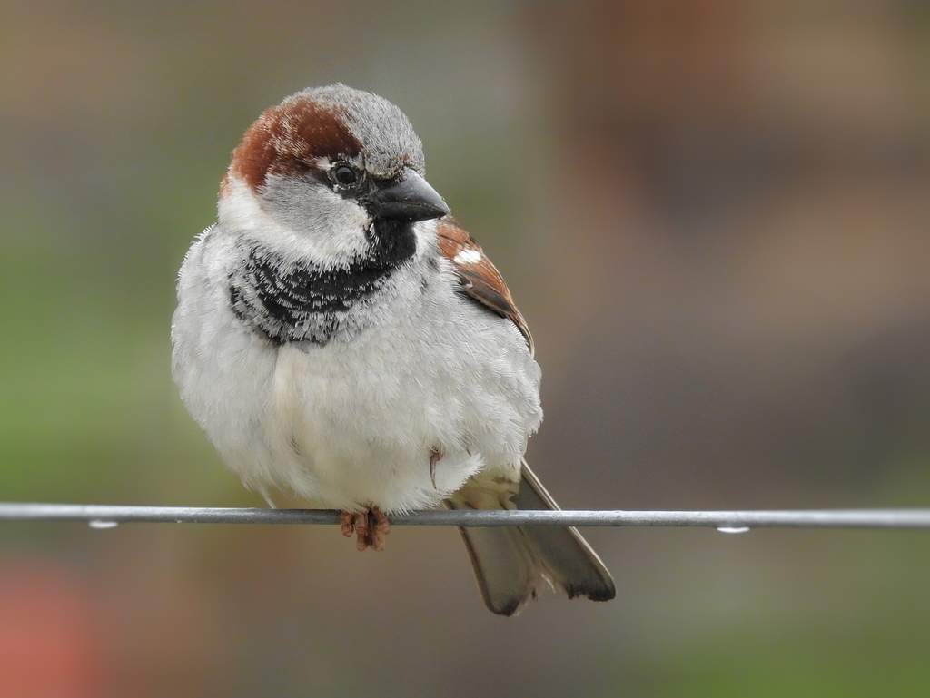
- House SparrowPasser domesticus
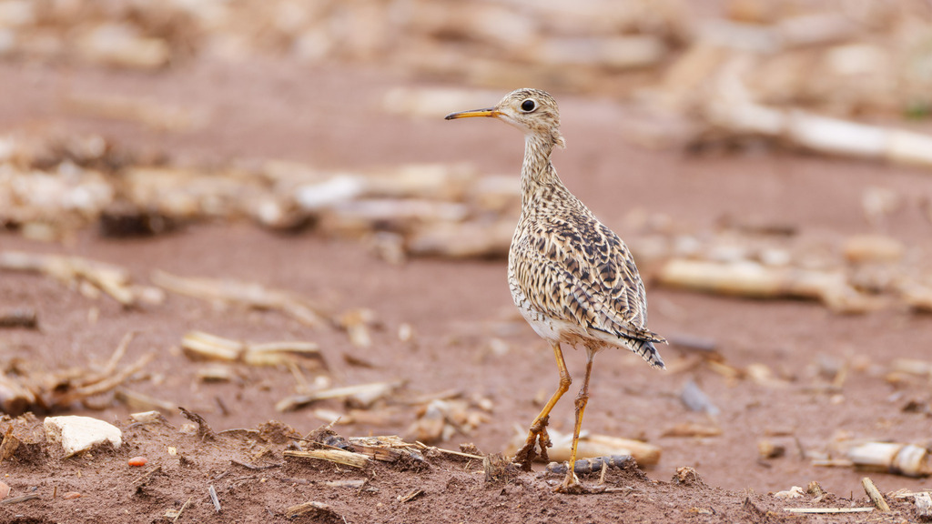
- Upland SandpiperBartramia longicauda
- Rock PigeonColumba livia
- DickcisselSpiza americana
- DunlinCalidris alpina
- Grasshopper SparrowAmmodramus savannarum
- Hoary RedpollCarduelis hornemanni
- Lapland LongspurCalcarius lapponicus
- MerlinFalco columbarius
- Purple MartinProgne subis
- American WigeonAnas americana

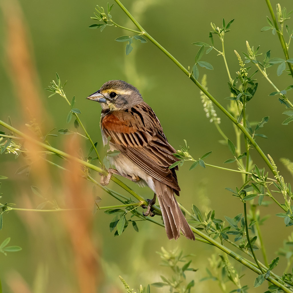
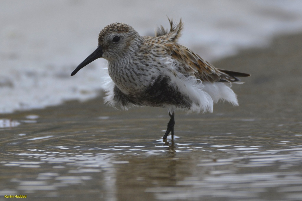
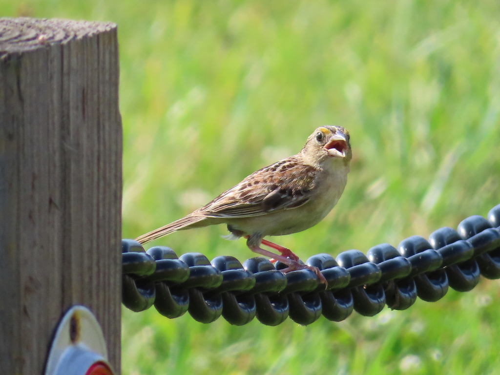
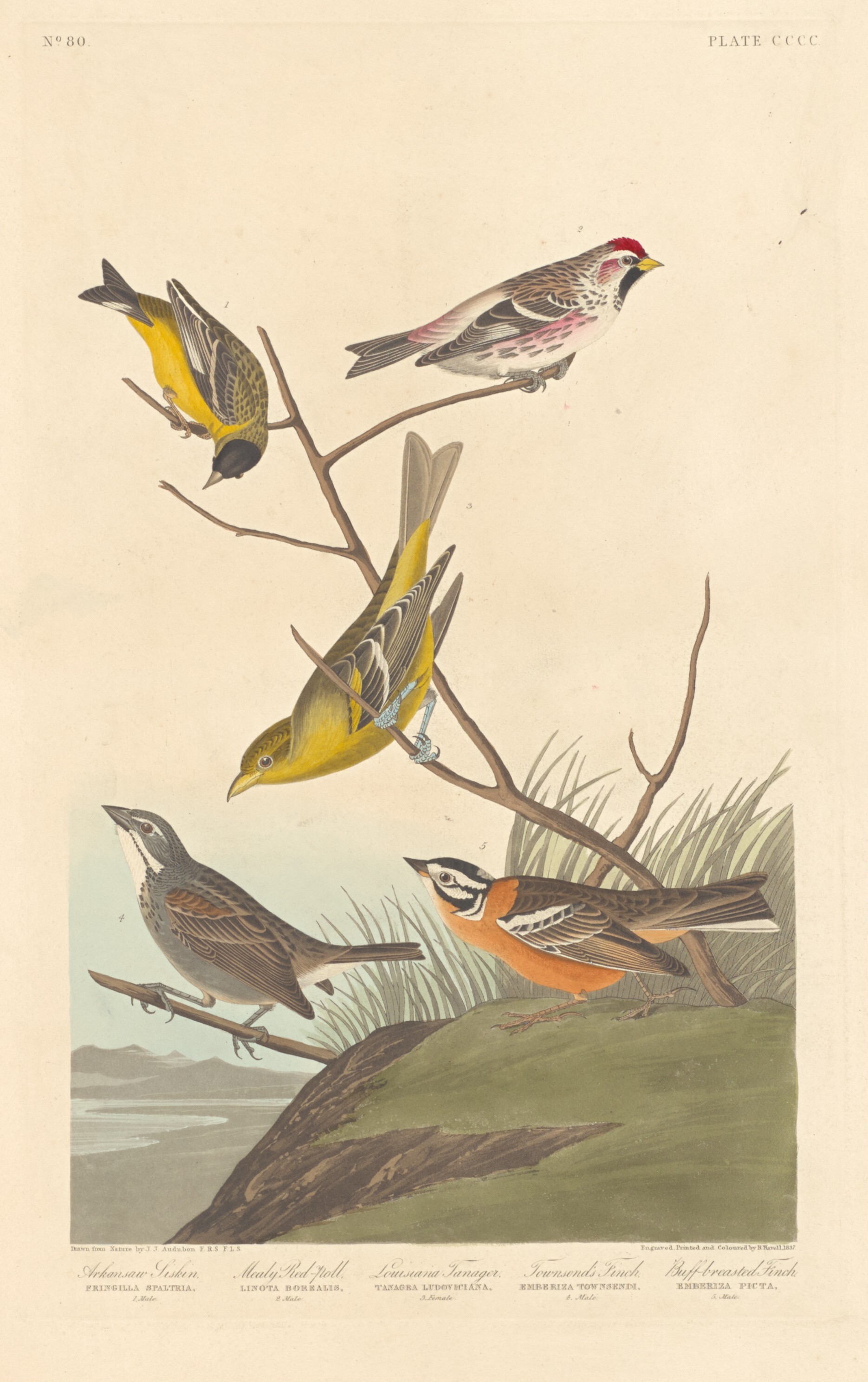
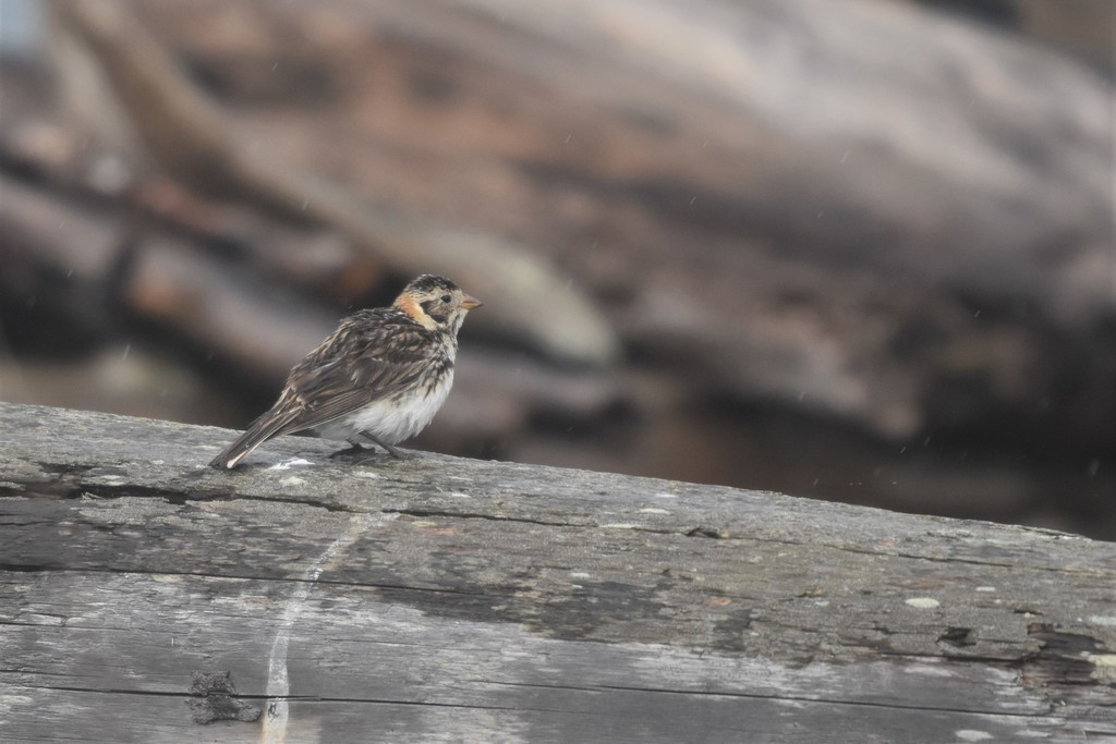
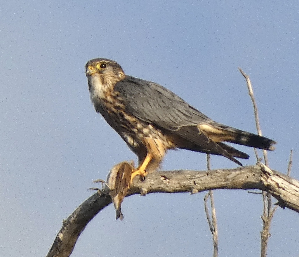
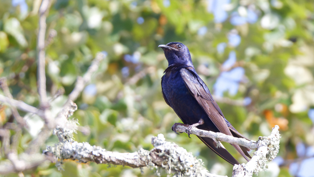
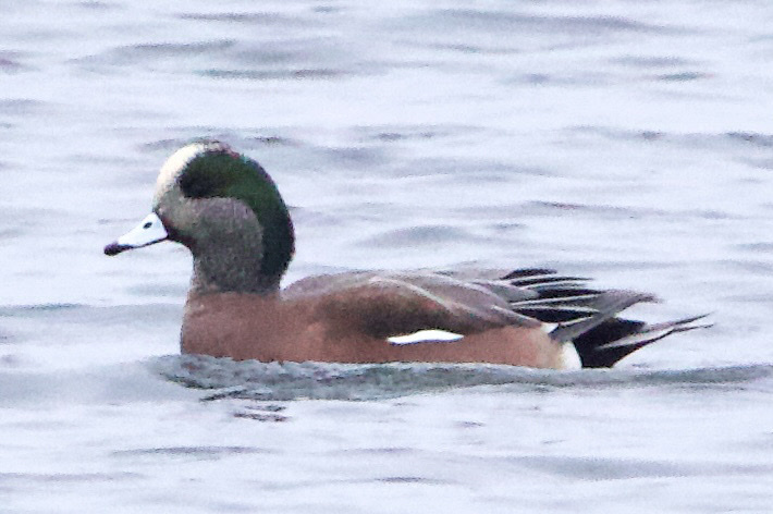
Plants 905
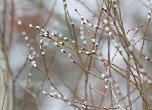
- Pussy WillowSalix discolor
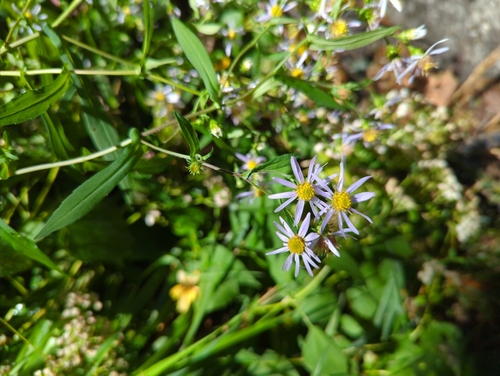
- Crooked-stem AsterSymphyotrichum prenanthoides
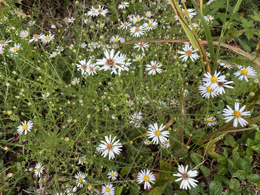
- Long Stalk AsterSymphyotrichum dumosum var. dumosum
- Canada LettuceLactuca canadensis
- Annual FleabaneErigeron annuus
- Bushy KnotweedPolygonum ramosissimum subsp. prolificum
- Carey's KnotweedPersicaria careyi
- Carolina Crane's-billGeranium carolinianum
- Common Evening-primroseOenothera biennis
- Cutleaf Evening-primroseOenothera laciniata
- Northern Evening-primroseOenothera parviflora
- Oakes Evening PrimroseOenothera oakesiana
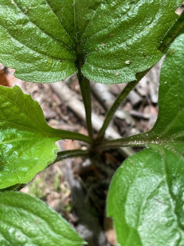
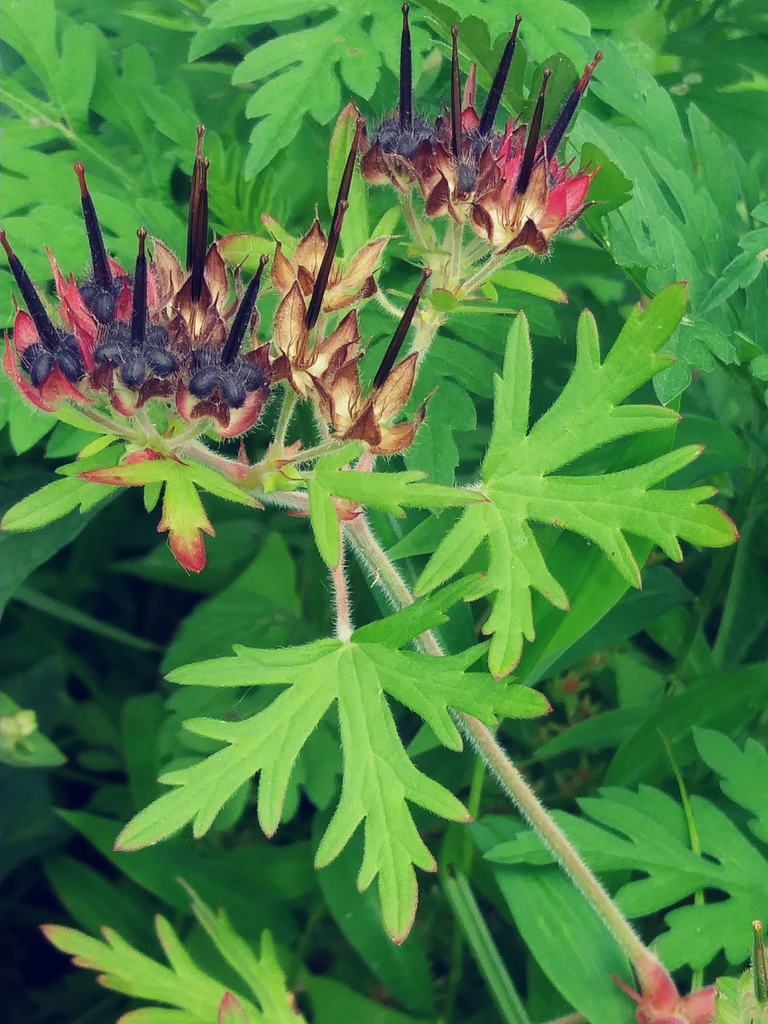
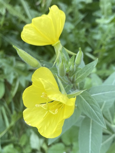
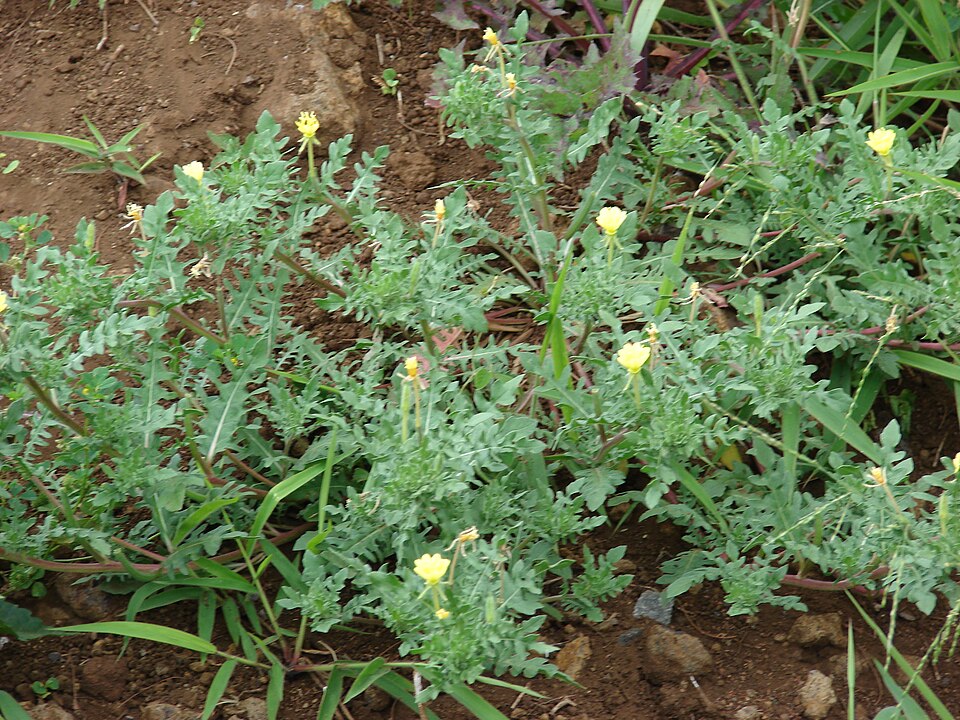
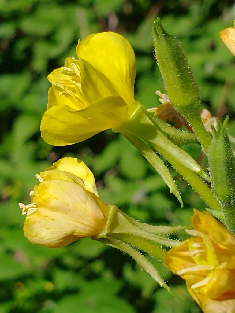
All of roadsides, fields and disturbed ground in West Virginia
Granite and other acidic rock outcrops
Birds 11
- Rock PigeonColumba livia
- Lark SparrowChondestes grammacus
- Peregrine FalconFalco peregrinus
- Golden EagleAquila chrysaetos
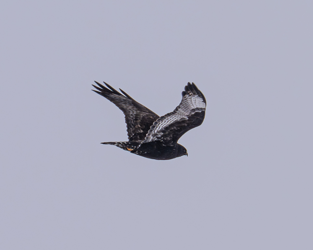
- Rough-legged HawkButeo lagopus
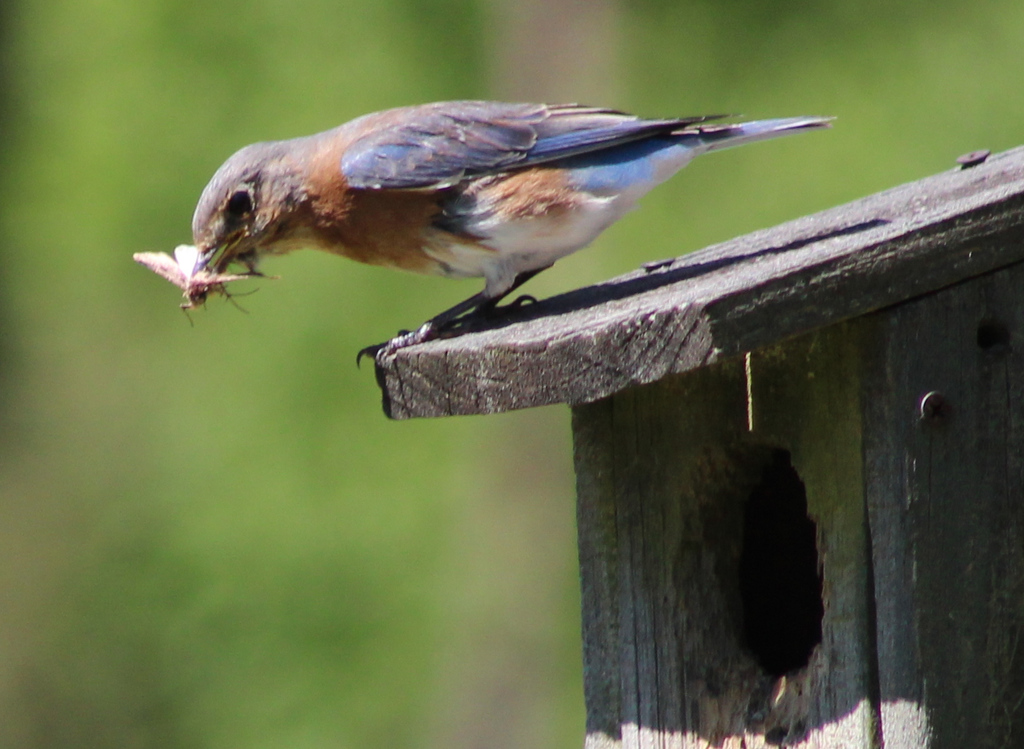
- Eastern BluebirdSialia sialis
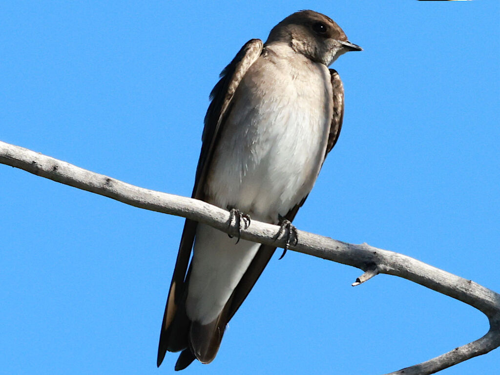
- Northern Rough-winged SwallowStelgidopteryx serripennis
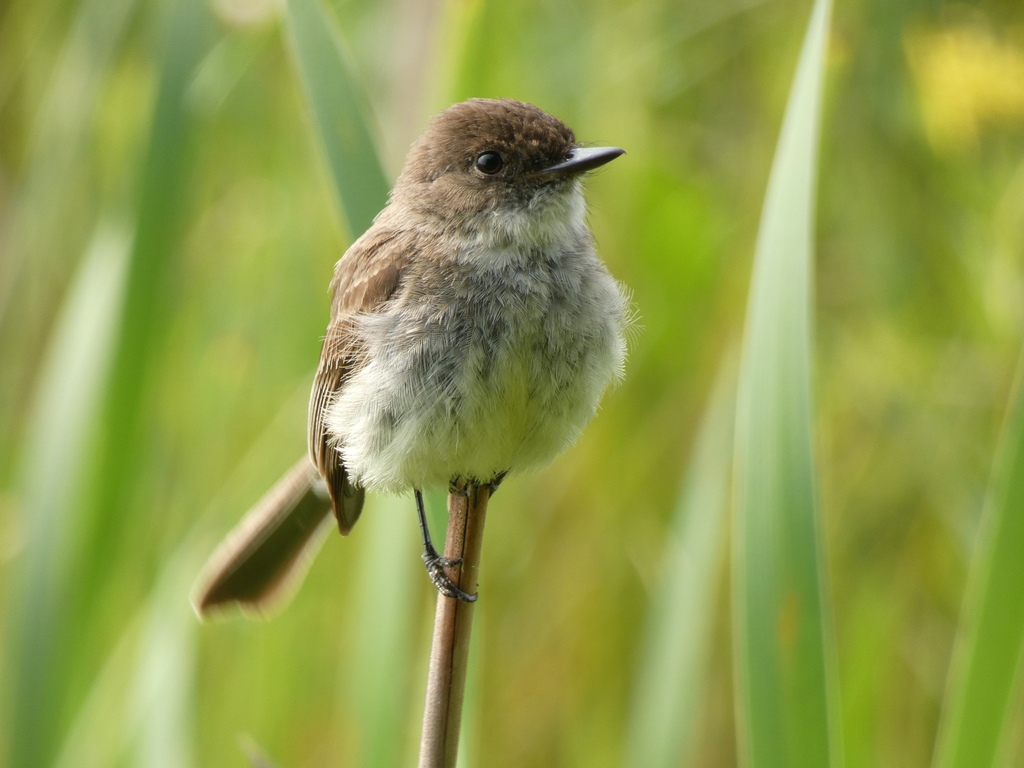
- Eastern PhoebeSayornis phoebe
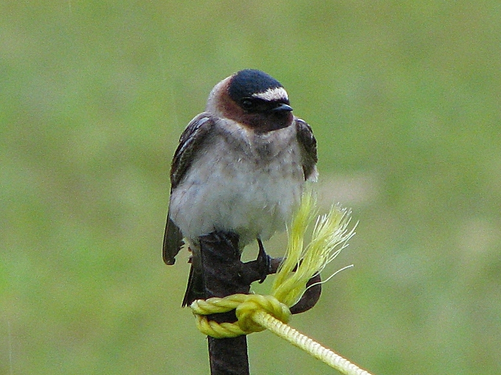
- Cliff SwallowPetrochelidon pyrrhonota
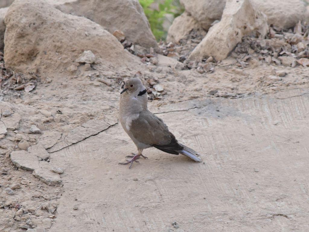
- Eurasian Collared-doveStreptopelia decaocto
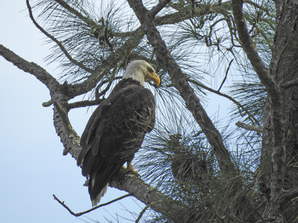
- Bald EagleHaliaeetus leucocephalus
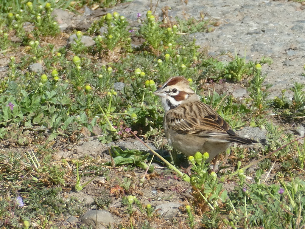
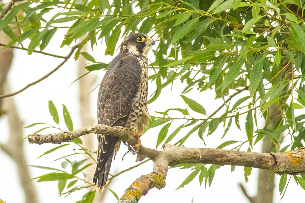
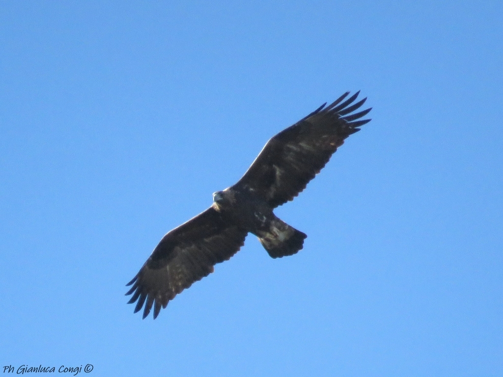
Plants 36
- Paper Birch; Canoe BirchBetula papyrifera
- Large Flower Coreopsis; Large Flowered Coreopsis; Largeflower Coreopsis; Largeflowered Coreopsis; Large Flower Tick Seed; Large Flowered Tick Seed; Largeflower Tick Seed; Largeflowered Tick Seed; Large Flower Tickseed; Large Flowered Tickseed; Largeflower Tickseed; Largeflowered TickseedCoreopsis grandiflora var. grandiflora
- Narrowleaf BluecurlsTrichostema setaceum
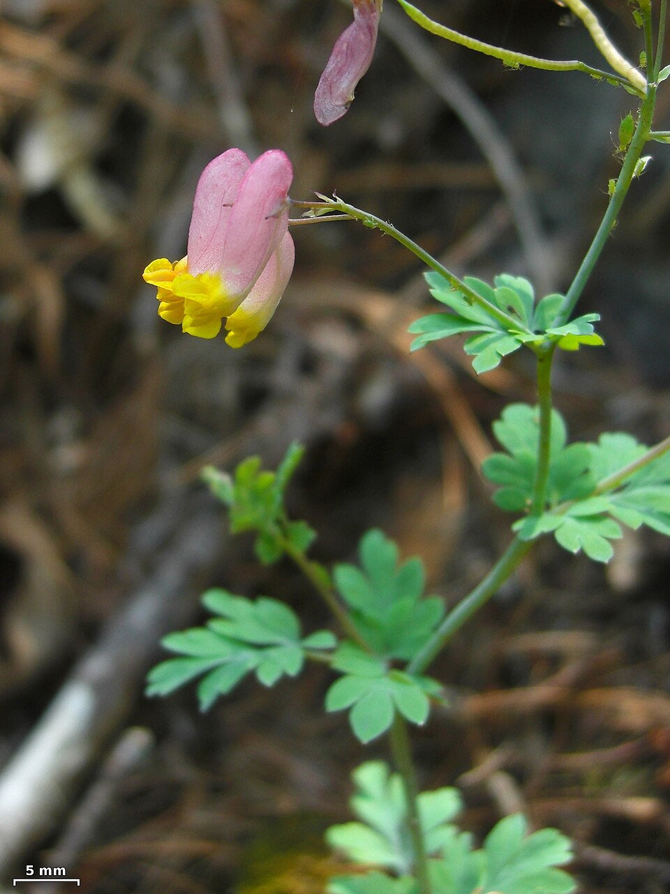
- Rock HarlequinCapnoides sempervirens
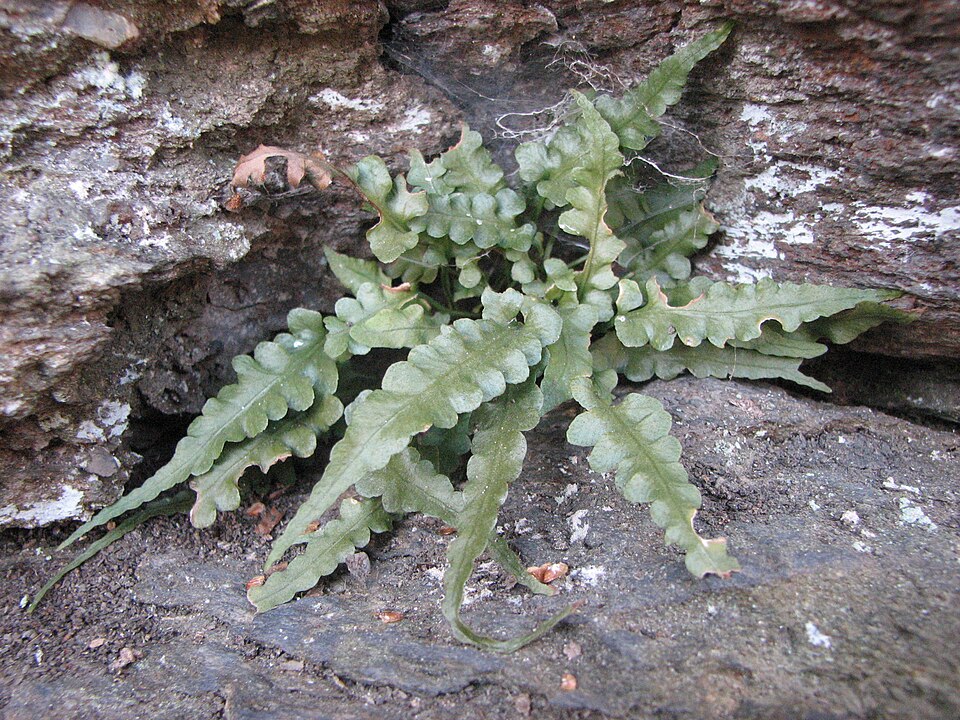
- Bradley's SpleenwortAsplenium bradleyi
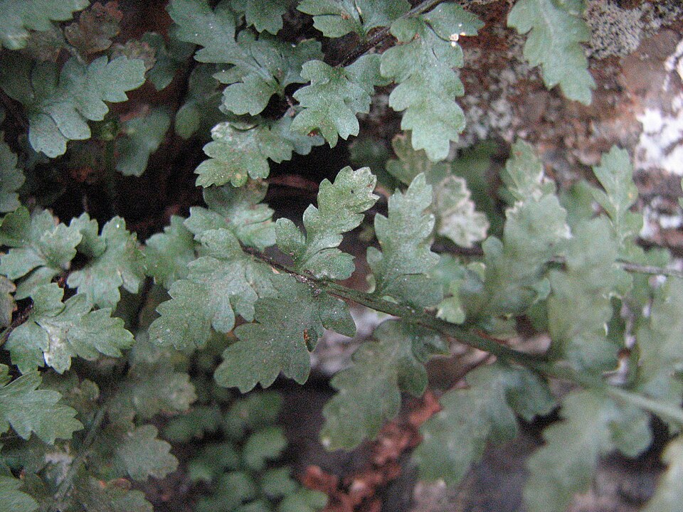
- Lobed SpleenwortAsplenium pinnatifidum
- Trudells SpleenwortAsplenium × trudellii
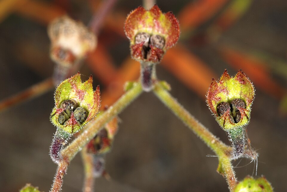
- Appalachian SandwortGeocarpon glabrum
- Greenland SandwortGeocarpon groenlandicum
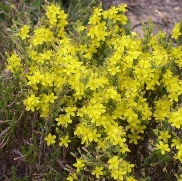
- Woolly Beach-heatherHudsonia tomentosa
- Appalachian Cliff FernWoodsia appalachiana
- Appalachian Shoestring FernVittaria appalachiana
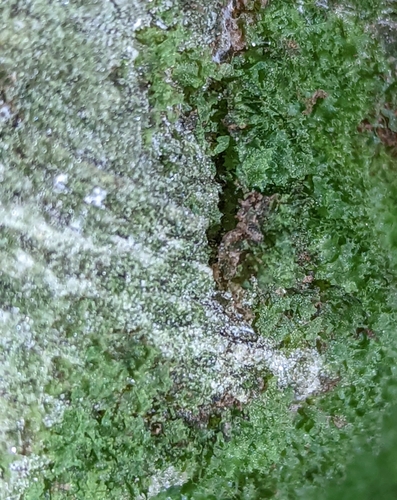
All of granite and other acidic rock outcrops in West Virginia
Disturbed and introduced wetlands
Birds 112
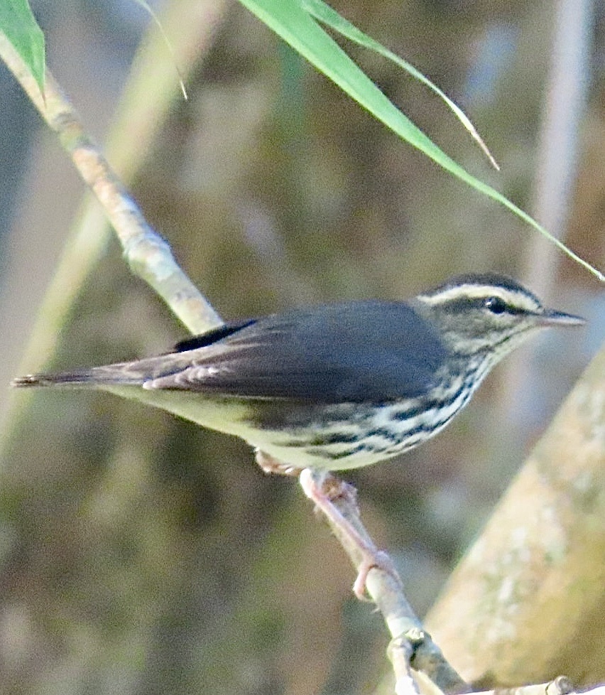
- Northern WaterthrushSeiurus noveboracensis
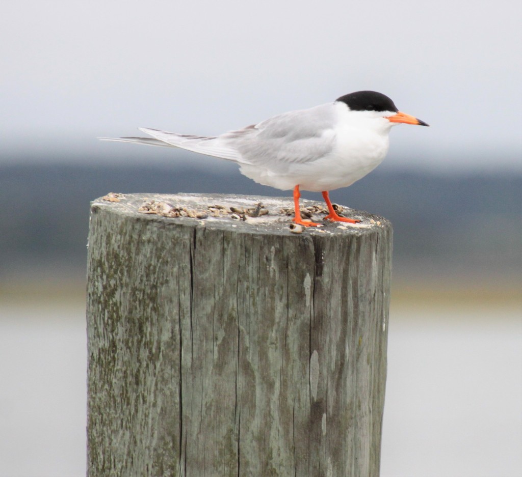
- Forster's TernSterna forsteri
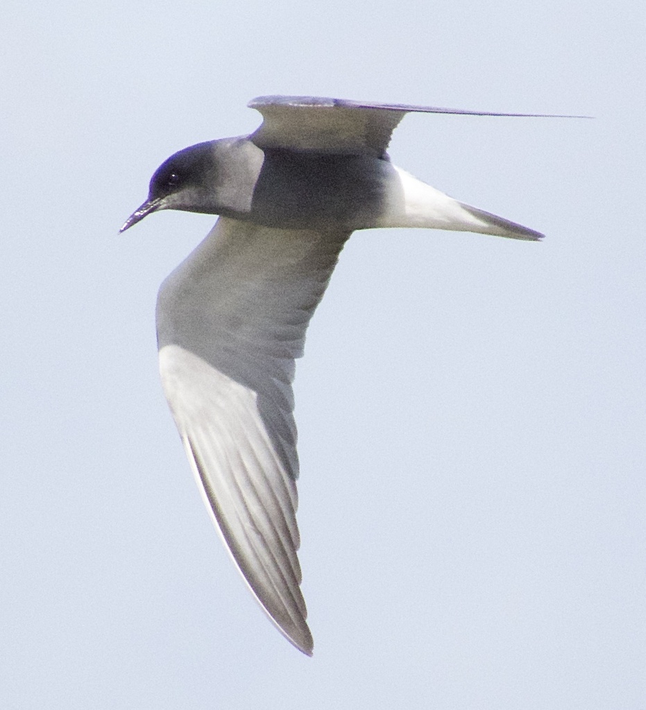
- Black TernChlidonias niger
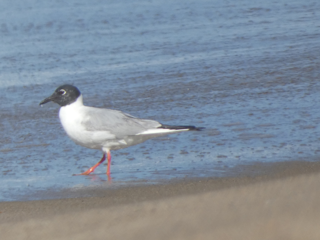
- Bonaparte's GullChroicocephalus philadelphia
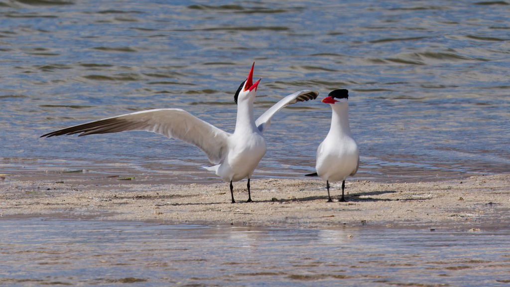
- Caspian TernHydroprogne caspia
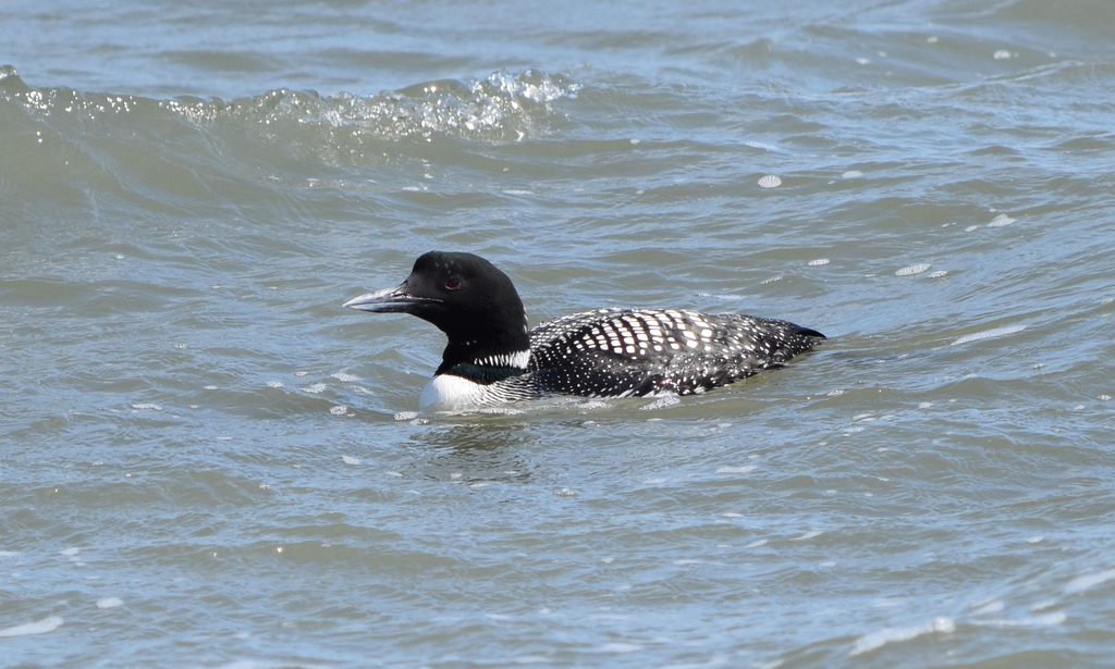
- Common LoonGavia immer
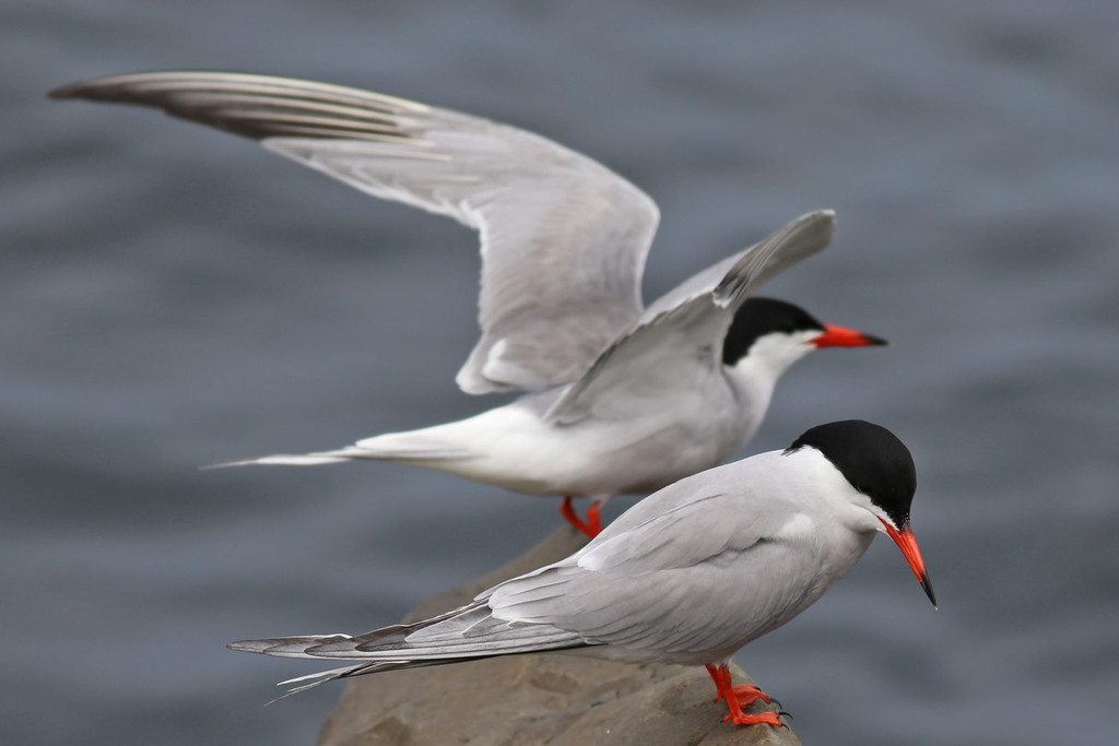
- Common TernSterna hirundo
- DickcisselSpiza americana
- DunlinCalidris alpina
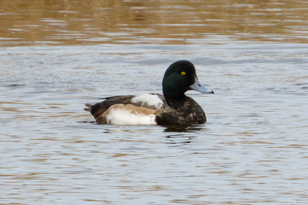
- Greater ScaupAythya marila
- Lapland LongspurCalcarius lapponicus
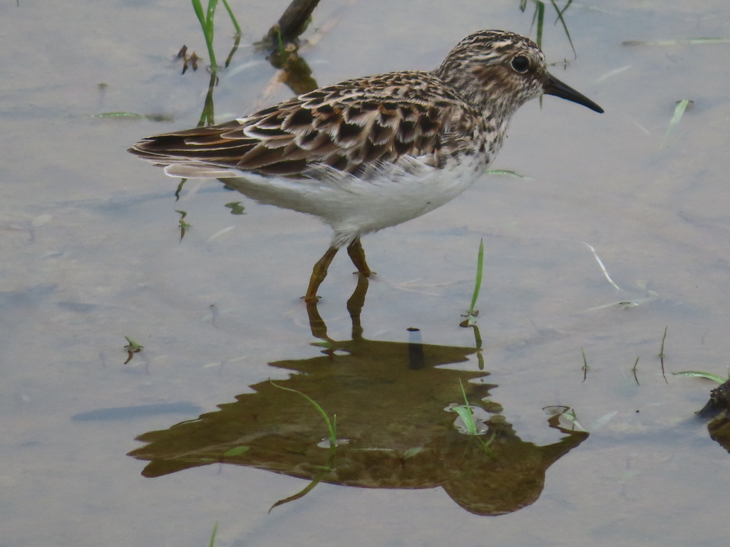
- Least SandpiperCalidris minutilla
Plants 12
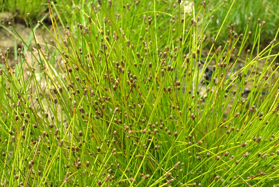
- Slender FimbryFimbristylis autumnalis
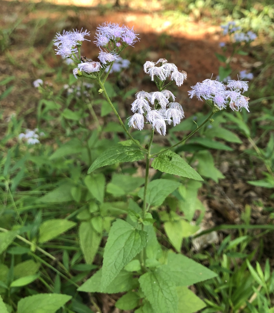
- Blue MistflowerConoclinium coelestinum
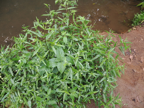
- False DaisyEclipta prostrata
- Intermediate Spike RushEleocharis intermedia
- Blunt Spike RushEleocharis obtusa
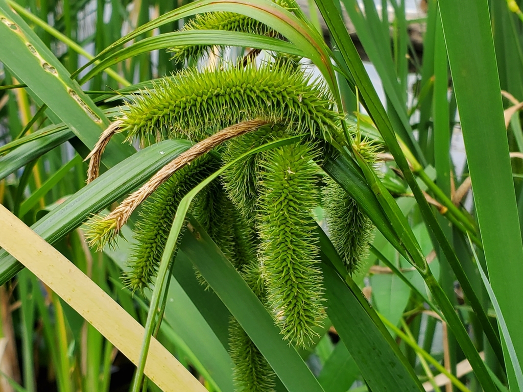
- Bristly SedgeCarex comosa
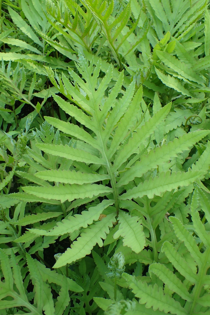
- Sensitive FernOnoclea sensibilis
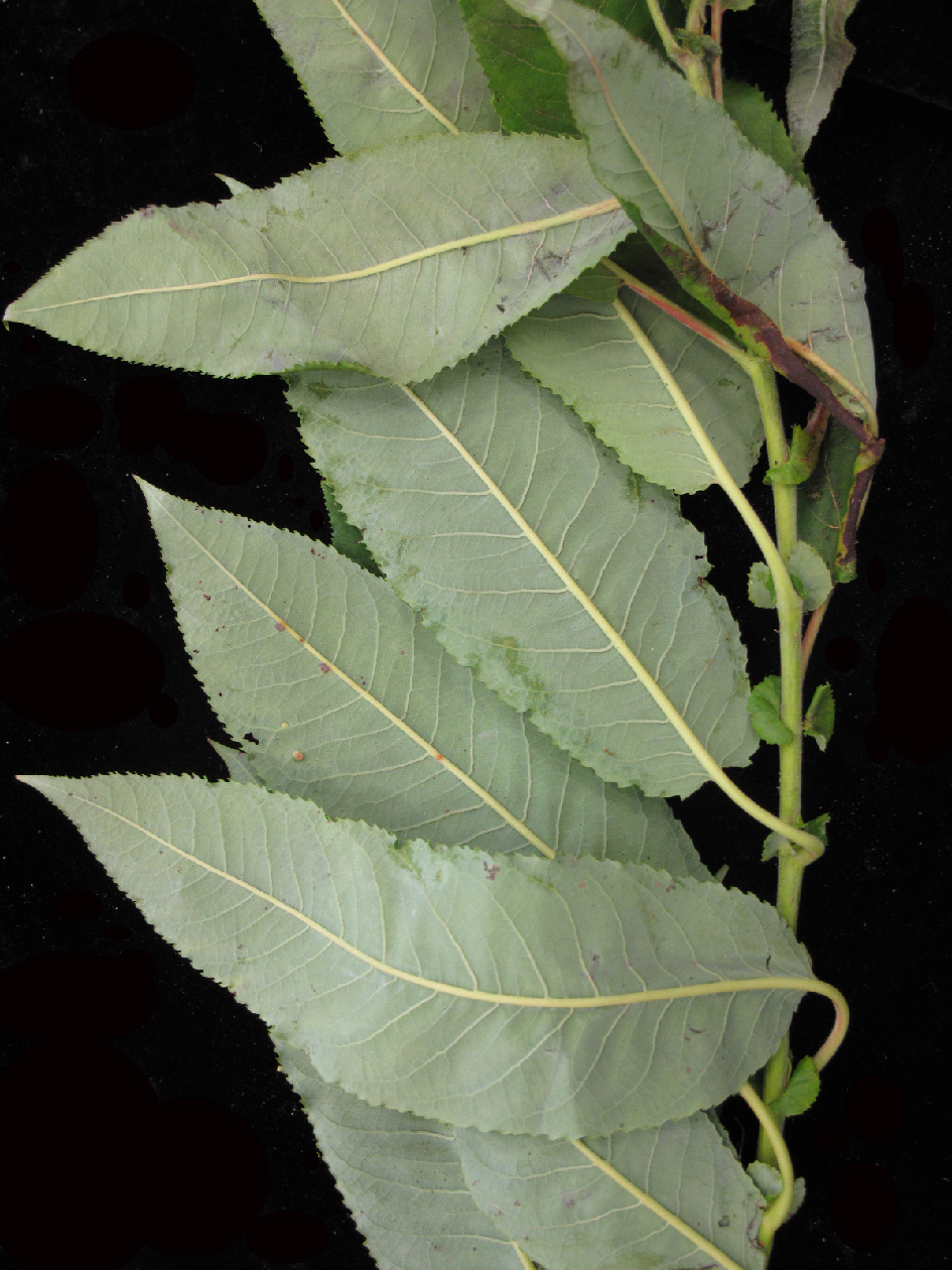
- Heart Leaf WillowSalix eriocephala
- Cuscuta gronovii var. gronoviiCuscuta gronovii var. gronovii
- European Gray WillowSalix cinerea
- Ricefield FlatsedgeCyperus iria
- White WillowSalix alba

Sources
- USGS Gap Analysis Project habitat models (2001)
- USGS GAP summer habitat model for Bank Swallow Elevation up to 2,439 m
- USGS Gap Analysis Project range maps (2001), modeled by watershed; migratory gives no dates
- NatureServe Explorer (CC BY 4.0), habitat names
- US Census TIGER/Line counties
- Names follow the USGS Gap Analysis Project (2001)