

Bird
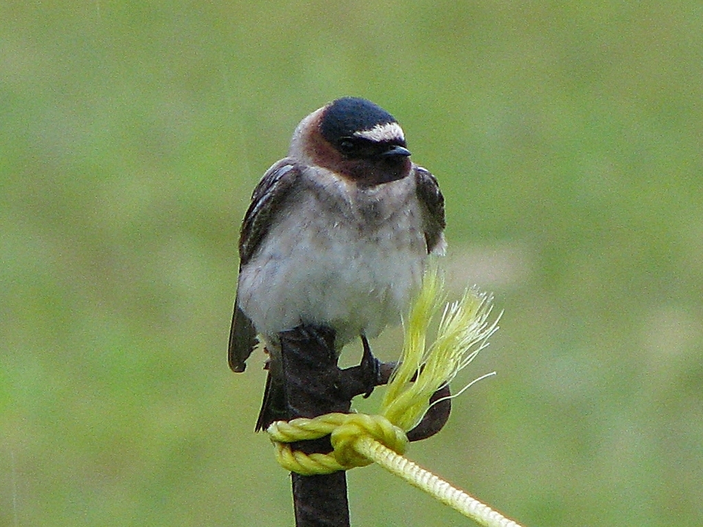
Cliff Swallow
Petrochelidon pyrrhonota
A summer resident that nests in Virginia. Found in all 133 counties and cities, across 13 habitats.
- Here
- Summer and on migration
- Nesting
- Nests here
- Range
- All 133 counties and cities
- Habitats
- 13
At a glance
- Group
- Birds
- Here
- Summer and on migration
- Nesting
- Nests here
- Range
- All 133 counties and cities
- Habitats
- 13
- Habitat models
- Summer
Where it lives
The places its habitat model includes. It is not found everywhere a habitat occurs.
Habitats in Virginia 13
Each habitat page lists the plants and wildlife also found there.
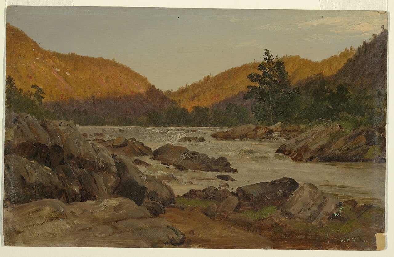
Streams, rivers and their banks
Open sand of beaches, dunes and the hollows between them.
Disturbed and introduced wetlands
Wet ground taken over by weedy or introduced plants after disturbance, such as common reed, Chinese tallow or tamarisk stands; the upland counterpart is roadsides, fields and disturbed ground.
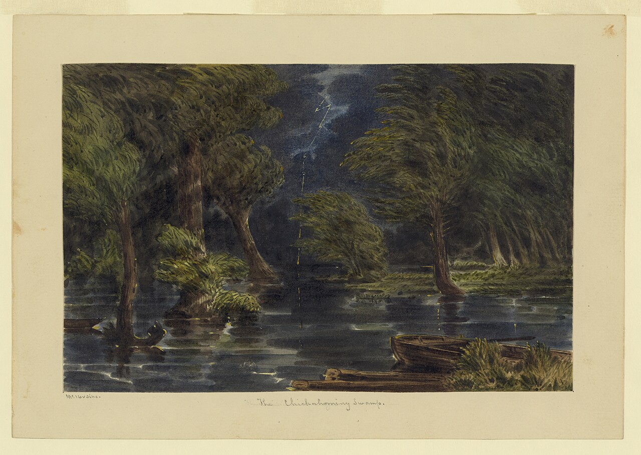
Floodplain and bottomland forests
Forests on low ground beside rivers and streams that flood from time to time.
Open, herb-covered wetlands with fresh, non-tidal water.
Wet, open, peaty mountain wetlands fed by seepage, often with sphagnum moss.
Still water and its edges: ponds, lakes, millponds and reservoirs.
Open, wet, grassy or sedgy ground that is not a bog.
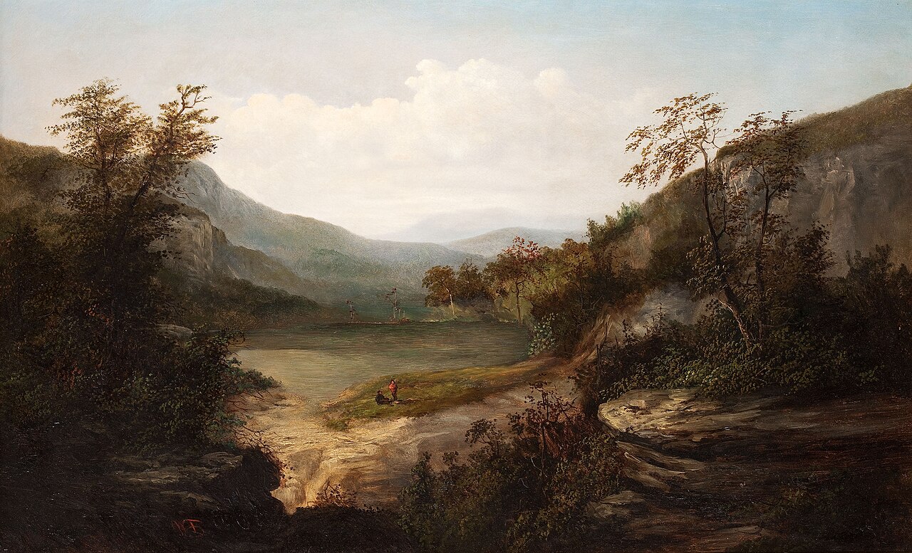
Cliffs, ledges and rocky summits
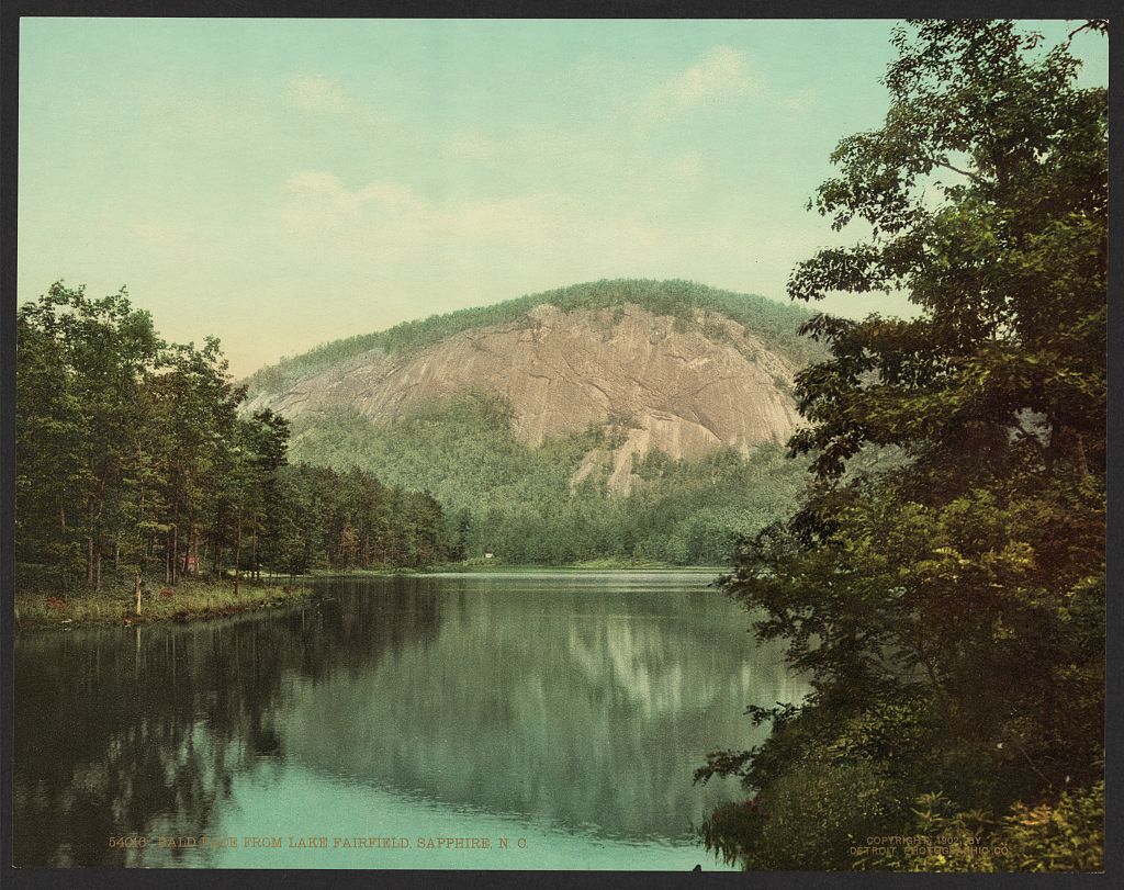
Granite and other acidic rock outcrops
Roadsides, fields and disturbed ground
Other habitats in its models (62)
Land cover, or classes with no habitat page in Virginia. Those recorded in Virginia first, the rest by region.
In Virginia 2
- North-Central Appalachian Circumneutral Cliff and Talus Summer, only within 2,000 m of water.
- Southern Piedmont Glade and Barrens Summer, only within 2,000 m of water.
Elsewhere in the South (30)
- Central and Upper Texas Coast Dune and Coastal Grassland Summer.
- Central Florida Herbaceous Pondshore Summer.
- Central Florida Herbaceous Seep Summer.
- Central Florida Pine Flatwoods Summer, only within 2,000 m of water.
- Cumberland Riverscour Summer.
- East-Central Texas Plains Post Oak Savanna and Woodland Summer, only within 2,000 m of water.
- East-Central Texas Plains Riparian Forest Summer.
- Edwards Plateau Limestone Savanna and Woodland Summer, only within 2,000 m of water.
- Nashville Basin Limestone Glade Summer, only within 2,000 m of water.
- Ozark-Ouachita Riparian Summer.
- Red River Large Floodplain Forest Summer.
- South-Central Interior / Upper Coastal Plain Wet Flatwoods Summer.
- Southeastern Great Plains Tallgrass Prairie Summer, only within 2,000 m of water.
- Southeastern Interior Longleaf Pine Woodland Summer, only within 2,000 m of water.
- Southern Appalachian Rocky Summit Summer, only within 2,000 m of water.
- Southern Blackland Tallgrass Prairie Summer, only within 2,000 m of water.
- Southern Interior Acid Cliff Summer, only within 2,000 m of water.
- Texas Saline Coastal Prairie Summer.
- Texas-Louisiana Coastal Prairie Summer, only within 2,000 m of water.
- West Gulf Coastal Plain Catahoula Barrens Summer, only within 2,000 m of water.
- West Gulf Coastal Plain Large River Floodplain Forest Summer.
- West Gulf Coastal Plain Near-Coast Large River Swamp Summer.
- West Gulf Coastal Plain Nepheline Syenite Glade Summer, only within 2,000 m of water.
- West Gulf Coastal Plain Nonriverine Wet Hardwood Flatwoods Summer.
- West Gulf Coastal Plain Northern Calcareous Prairie Summer, only within 2,000 m of water.
- West Gulf Coastal Plain Pine-Hardwood Flatwoods Summer, only within 2,000 m of water.
- West Gulf Coastal Plain Seepage Swamp and Baygall Summer.
- West Gulf Coastal Plain Small Stream and River Forest Summer.
- West Gulf Coastal Plain Southern Calcareous Prairie Summer, only within 2,000 m of water.
- West Gulf Coastal Plain Wet Longleaf Pine Savanna and Flatwoods Summer.
Northeast (2)
- North-Central Interior Wet Flatwoods Summer.
- Northeastern Interior Pine Barrens Summer, only within 2,000 m of water.
Midwest (8)
- Central Interior Acidic Cliff and Talus Summer, only within 2,000 m of water.
- Central Interior Calcareous Cliff and Talus Summer, only within 2,000 m of water.
- Central Mixedgrass Prairie Summer, only within 2,000 m of water.
- Central Tallgrass Prairie Summer, only within 2,000 m of water.
- North-Central Interior Oak Savanna Summer, only within 2,000 m of water.
- North-Central Interior Sand and Gravel Tallgrass Prairie Summer, only within 2,000 m of water.
- North-Central Oak Barrens Summer, only within 2,000 m of water.
- Western Great Plains Wooded Draw and Ravine Summer, only within 2,000 m of water.
Land cover and other classes (20)
- Arkansas Valley Prairie and Woodland Summer, only within 2,000 m of water.
- Developed, Low Intensity Summer, only within 2,000 m of water.
- Developed, Medium Intensity Summer, only within 2,000 m of water.
- Eastern Great Plains Floodplain Systems Summer.
- Eastern Great Plains Wet Meadow, Prairie, and Marsh Summer.
- Eastern Highland Rim Prairie and Barrens - Dry Modifier Summer, only within 2,000 m of water.
- Harvested Forest - Grass/Forb Regeneration Summer, only within 2,000 m of water.
- Introduced Upland Vegetation - Annual Grassland Summer, only within 2,000 m of water.
- Introduced Upland Vegetation - Forbland Summer, only within 2,000 m of water.
- Introduced Upland Vegetation - Perennial Grassland Summer, only within 2,000 m of water.
- Modified/Managed Southern Tall Grassland Summer, only within 2,000 m of water.
- Open Water (Aquaculture) Summer.
- Recently Burned Grassland Summer, only within 2,000 m of water.
- Recently Burned Shrubland Summer, only within 2,000 m of water.
- South-Central Interior Large Floodplain - Herbaceous Modifier Summer.
- Tamaulipan Riparian Systems Summer.
- Texas-Louisiana Coastal Prairie Slough Summer.
- Unconsolidated Shore (Lake/River/Pond) Summer.
- Western Great Plains Depressional Wetland Systems Summer.
- Western Great Plains Floodplain Systems Summer.
Seasons in Virginia
- Migratory: does not nest here, in 89 of 133 counties and cities.
- Summer: nests here, in 60 of 133 counties and cities.
Also found in its main habitats
Its main habitats in Virginia, by how much of its habitat model each one is, with the birds most characteristic of each and the plants that grow wild there. Shared habitat, not food.
Floodplain and bottomland forests
Birds 74
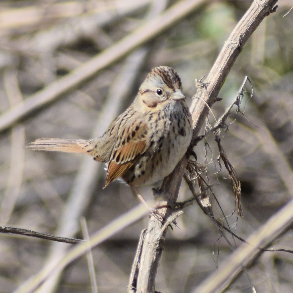
- Lincoln's SparrowMelospiza lincolnii
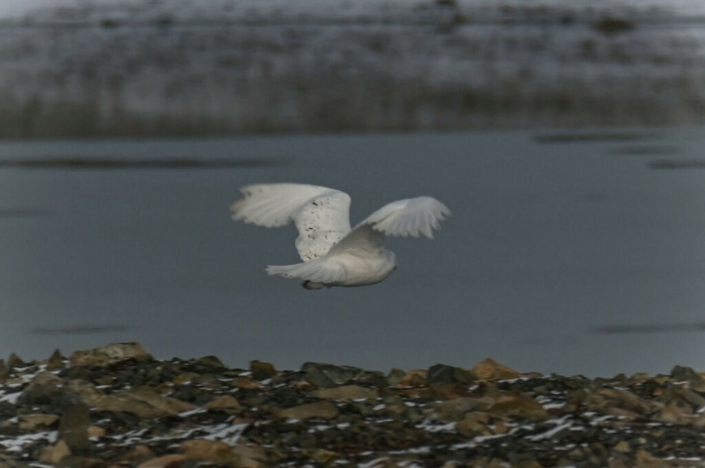
- Snowy OwlBubo scandiacus
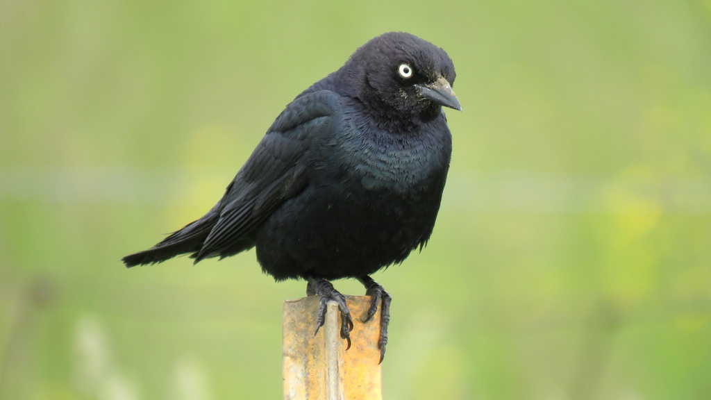
- Brewer's BlackbirdEuphagus cyanocephalus
- Willow FlycatcherEmpidonax traillii
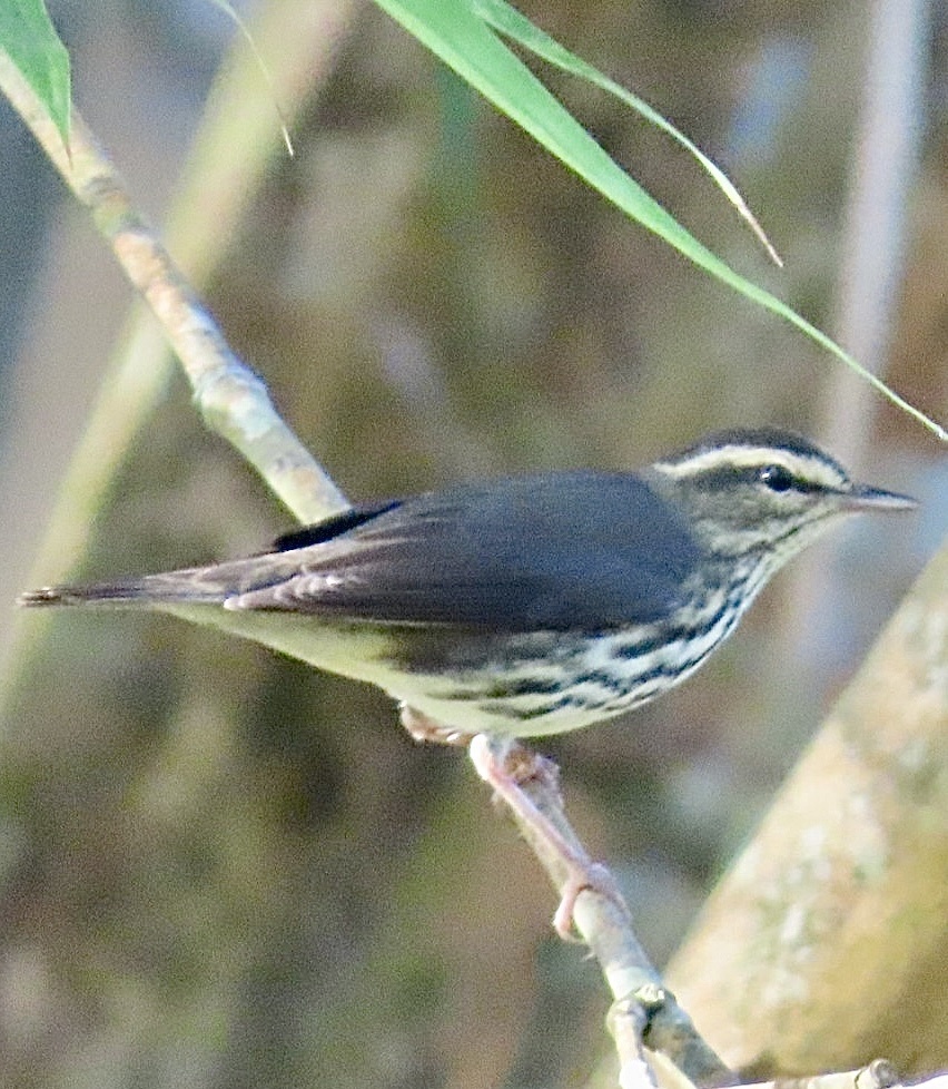
- Northern WaterthrushSeiurus noveboracensis
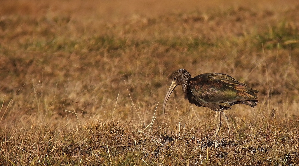
- Glossy IbisPlegadis falcinellus
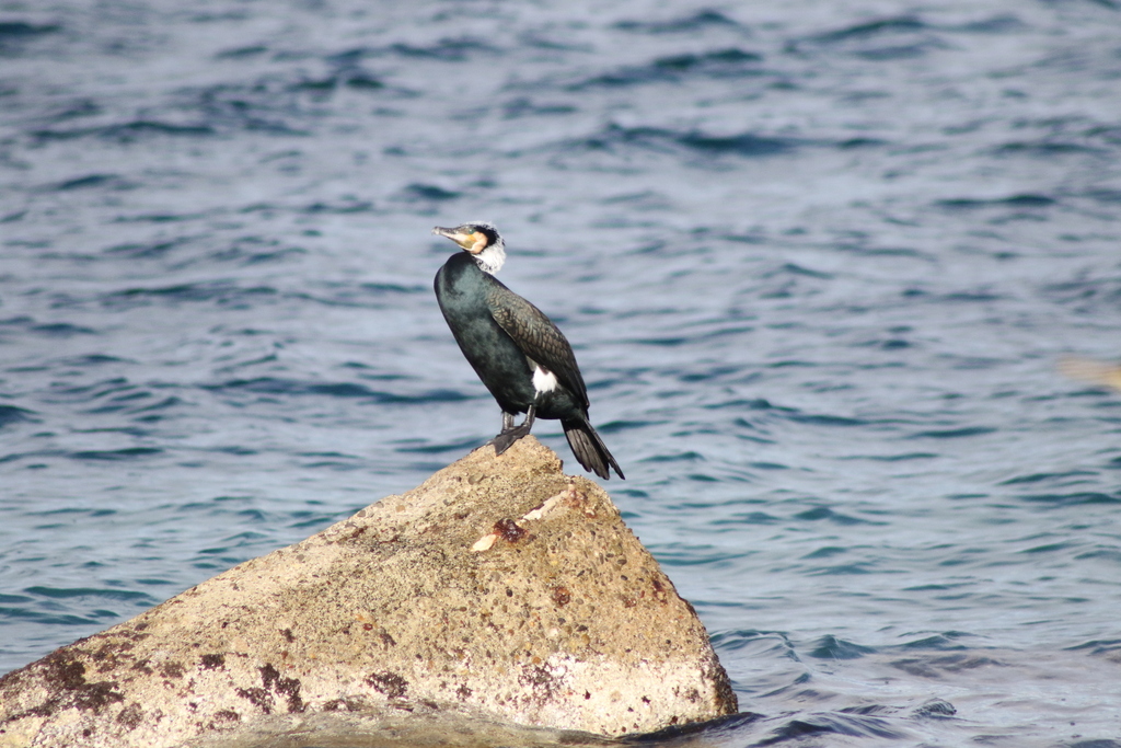
- Great CormorantPhalacrocorax carbo
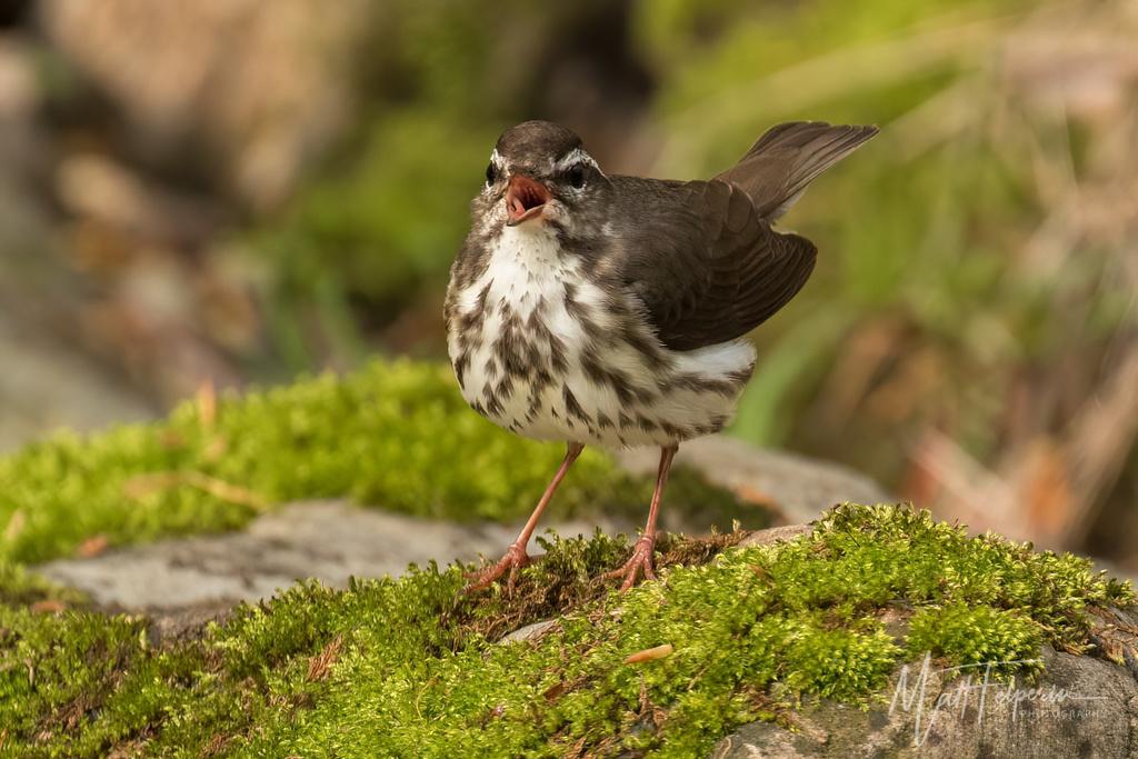
- Louisiana WaterthrushSeiurus motacilla
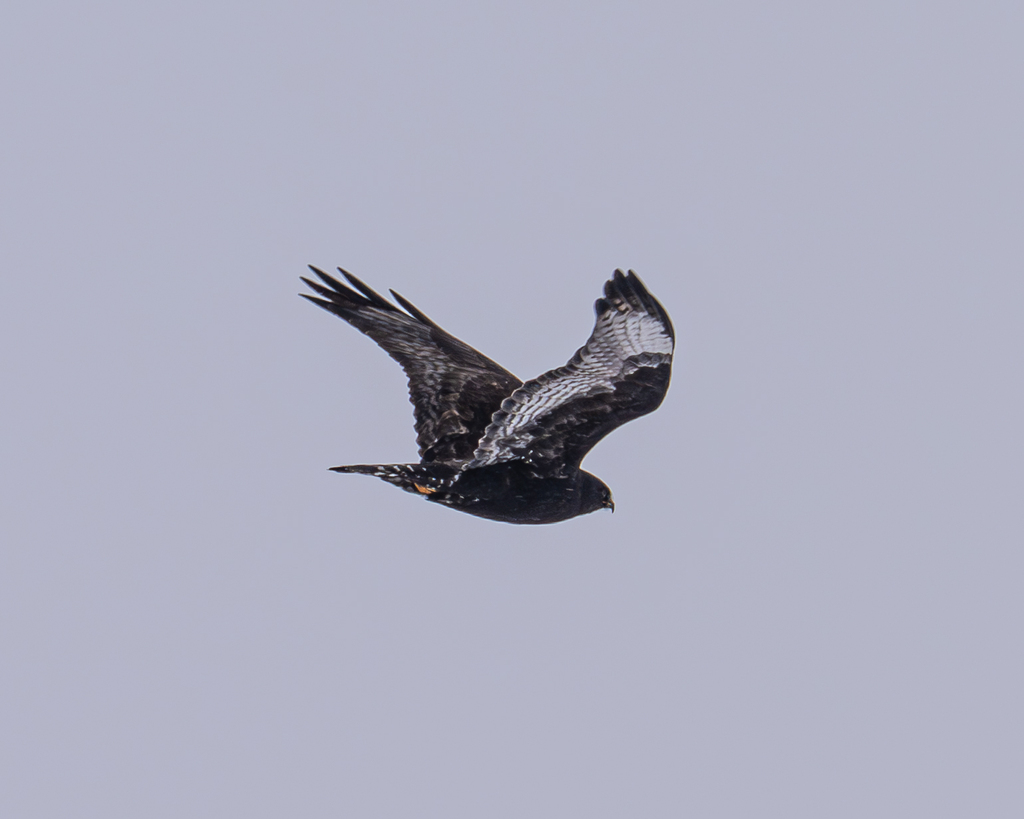
- Rough-legged HawkButeo lagopus
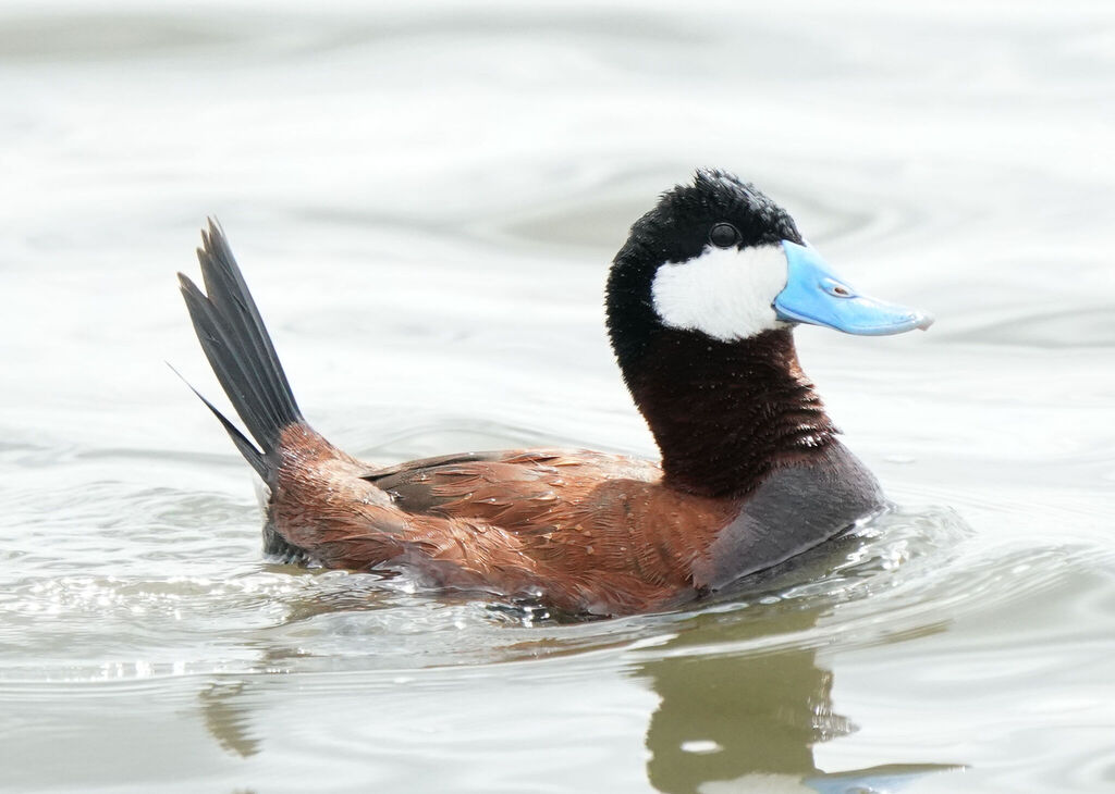
- Ruddy DuckOxyura jamaicensis
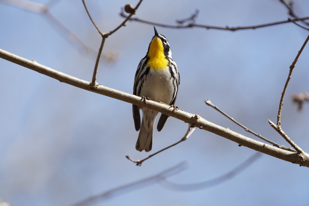
- Yellow-throated WarblerDendroica dominica
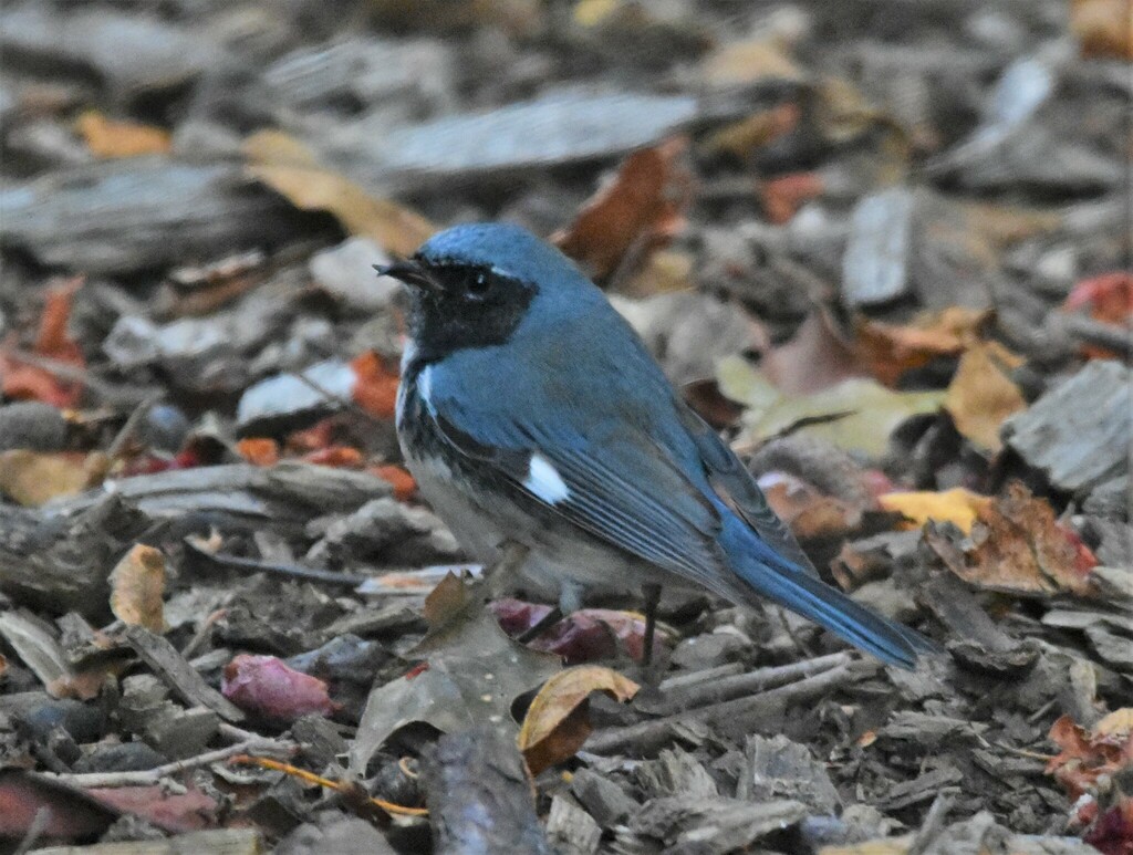
- Black-throated Blue WarblerDendroica caerulescens
Plants 381
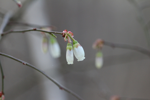
- Elliott's BlueberryVaccinium elliottii
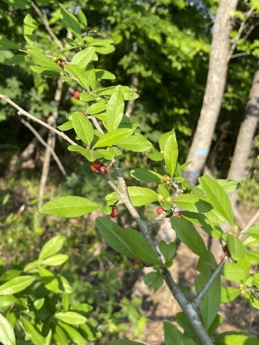
- Possumhaw HollyIlex decidua
- Cherrybark OakQuercus pagoda
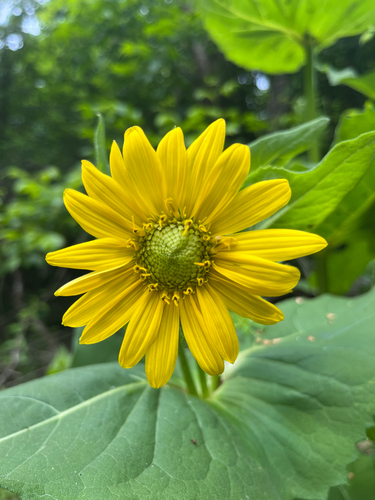
- Appalachian Orange ConeflowerRudbeckia fulgida var. umbrosa
- Shagbark HickoryCarya ovata
- Southern Shagbark HickoryCarya carolinae-septentrionalis
- Spreading SedgeCarex laxiculmis
- Louisiana SedgeCarex louisianica
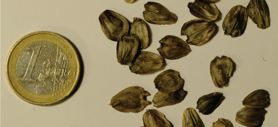
- Common Cup-plantSilphium perfoliatum
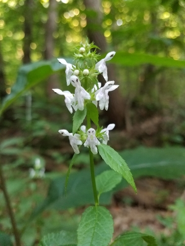
- Smooth Hedge-nettleStachys tenuifolia
- Virginia Cup-plantSilphium connatum
- Coville's PhaceliaPhacelia covillei
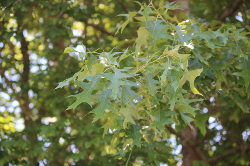
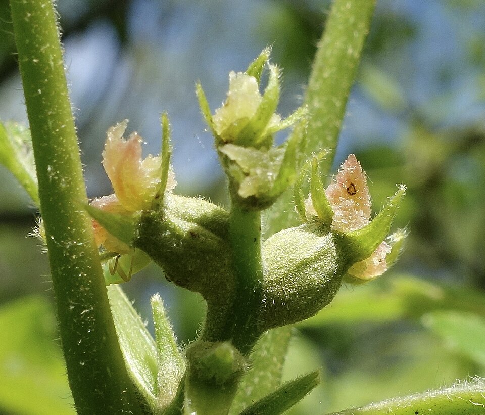
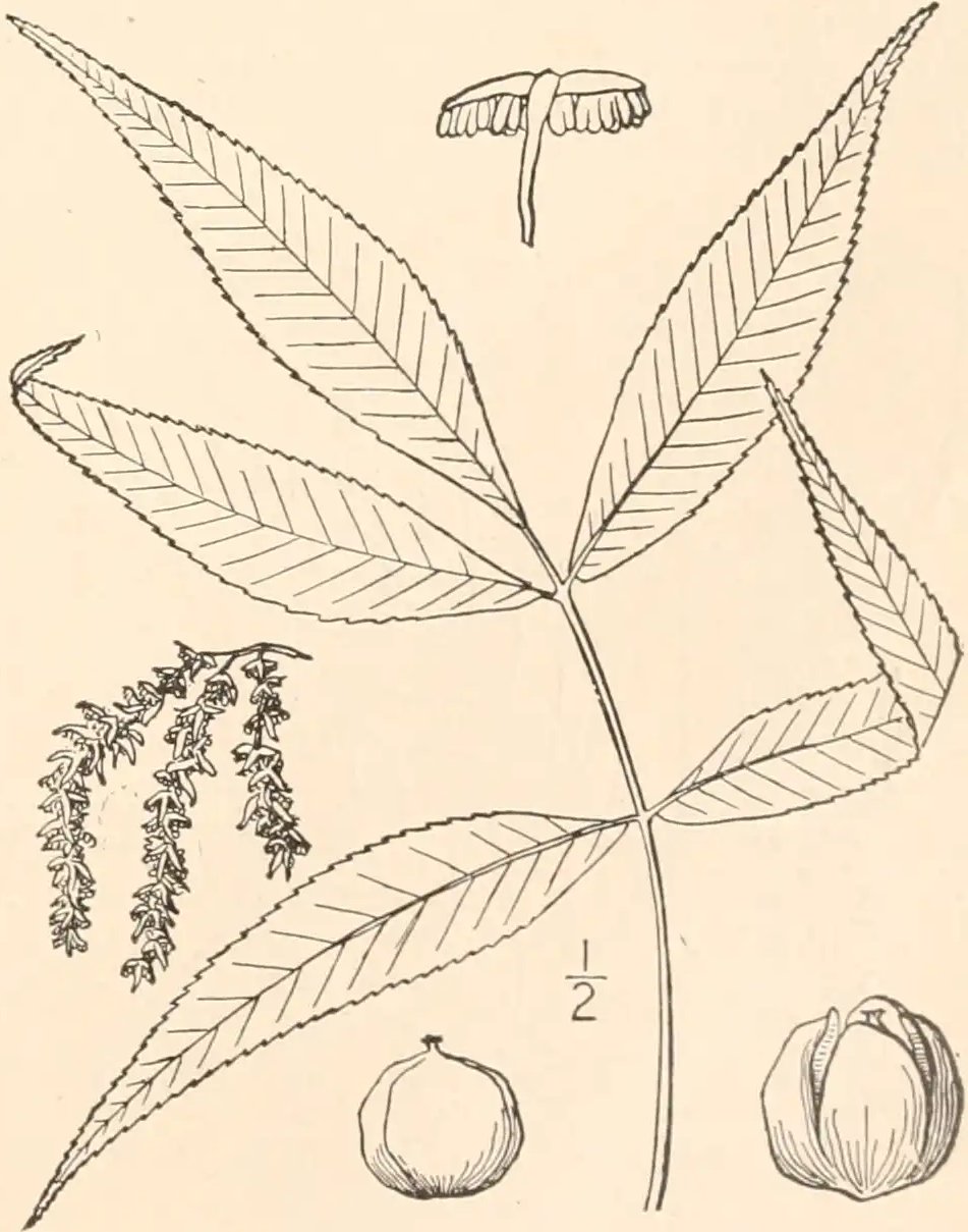
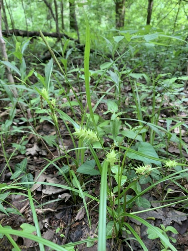
Roadsides, fields and disturbed ground
Birds 88
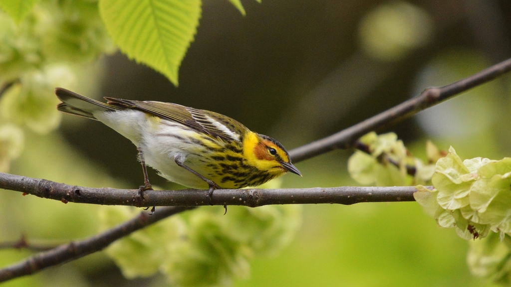
- Cape May WarblerDendroica tigrina
- House SparrowPasser domesticus
- Monk ParakeetMyiopsitta monachus
- Upland SandpiperBartramia longicauda
- DickcisselSpiza americana
- Grasshopper SparrowAmmodramus savannarum
- Hoary RedpollCarduelis hornemanni
- BobolinkDolichonyx oryzivorus
- House FinchCarpodacus mexicanus
- Rock PigeonColumba livia
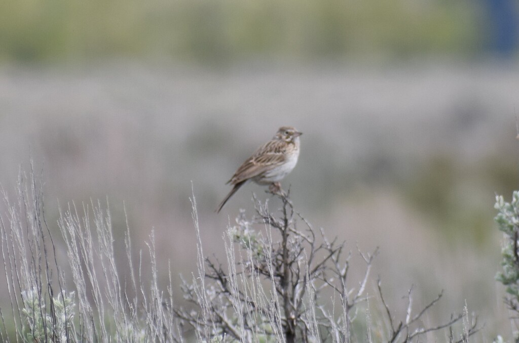
- Vesper SparrowPooecetes gramineus
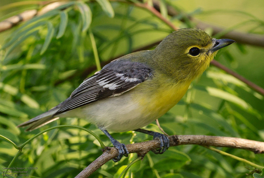
- Yellow-throated VireoVireo flavifrons
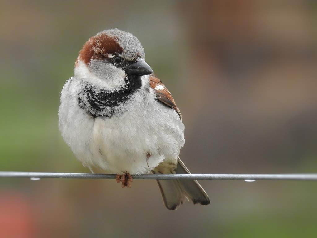
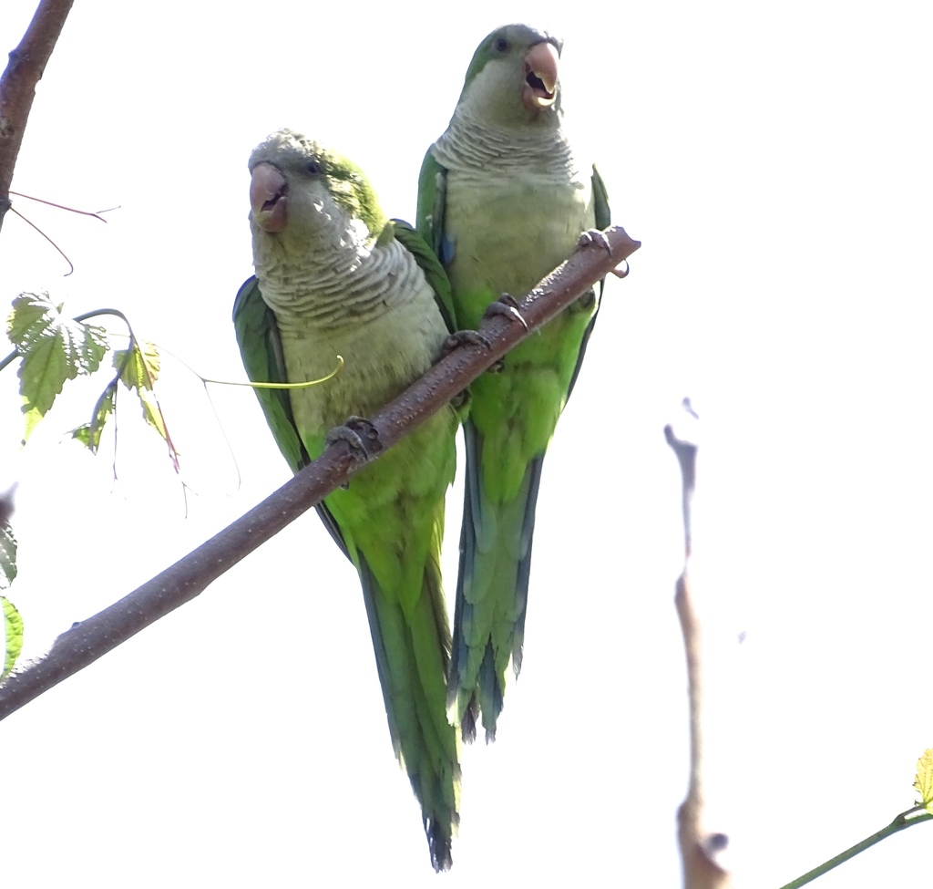
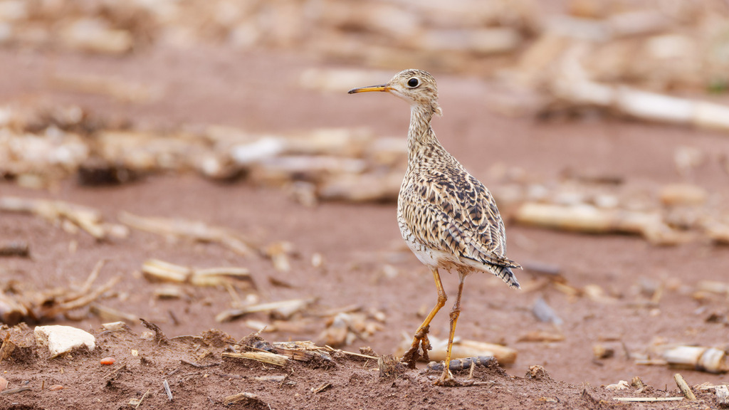
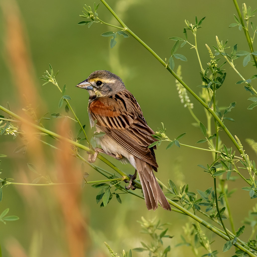
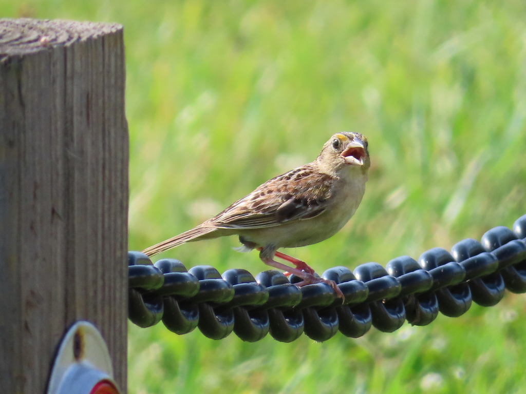
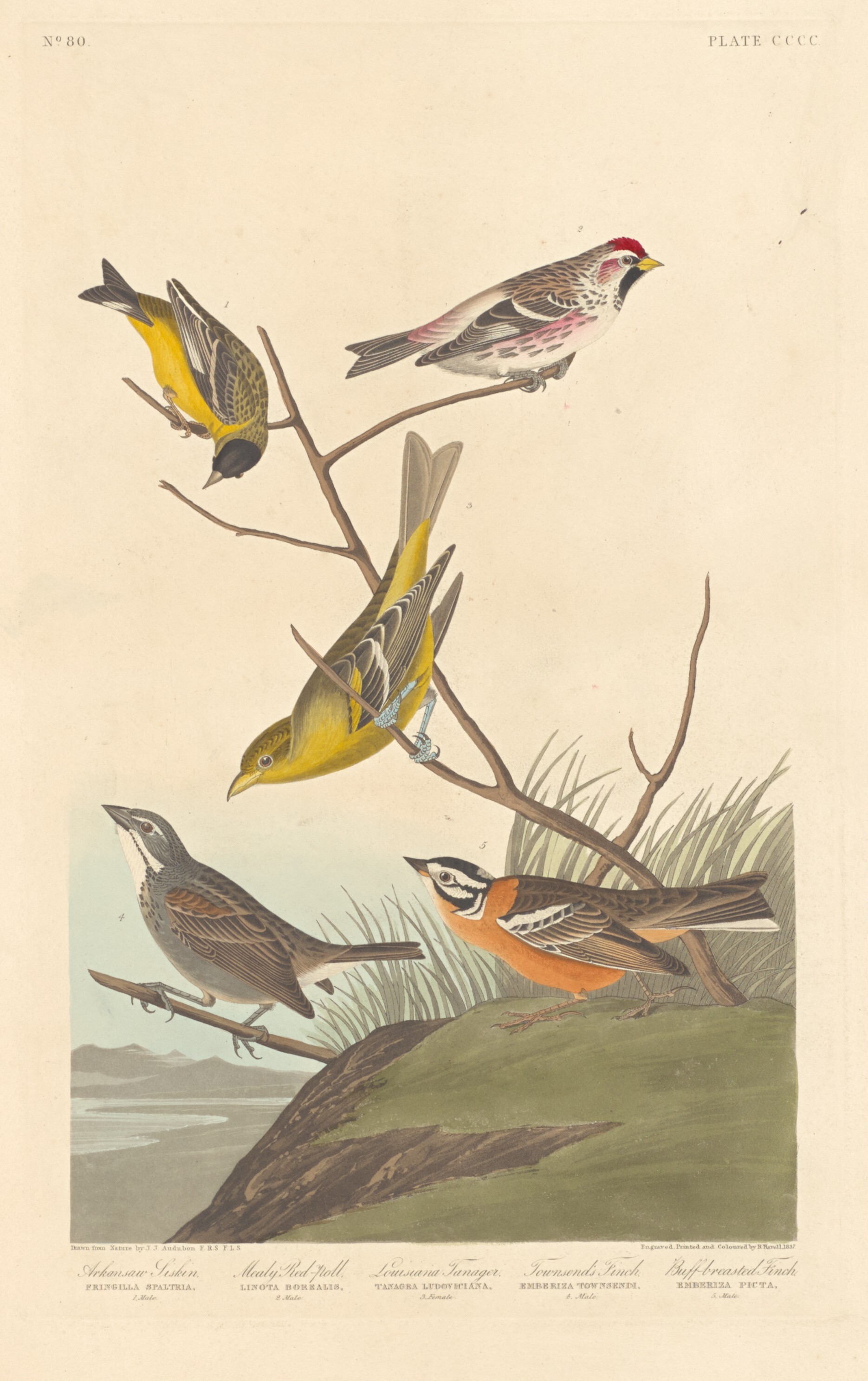
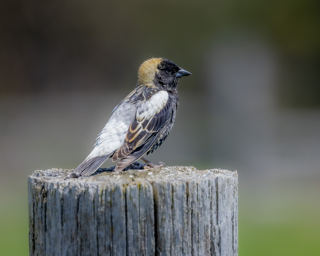
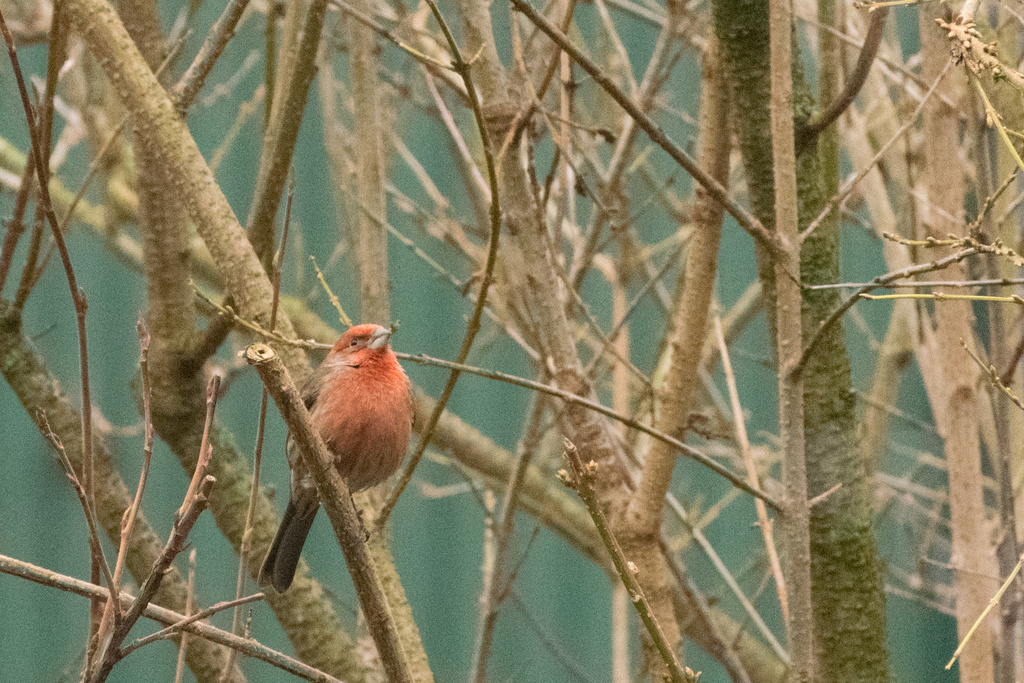

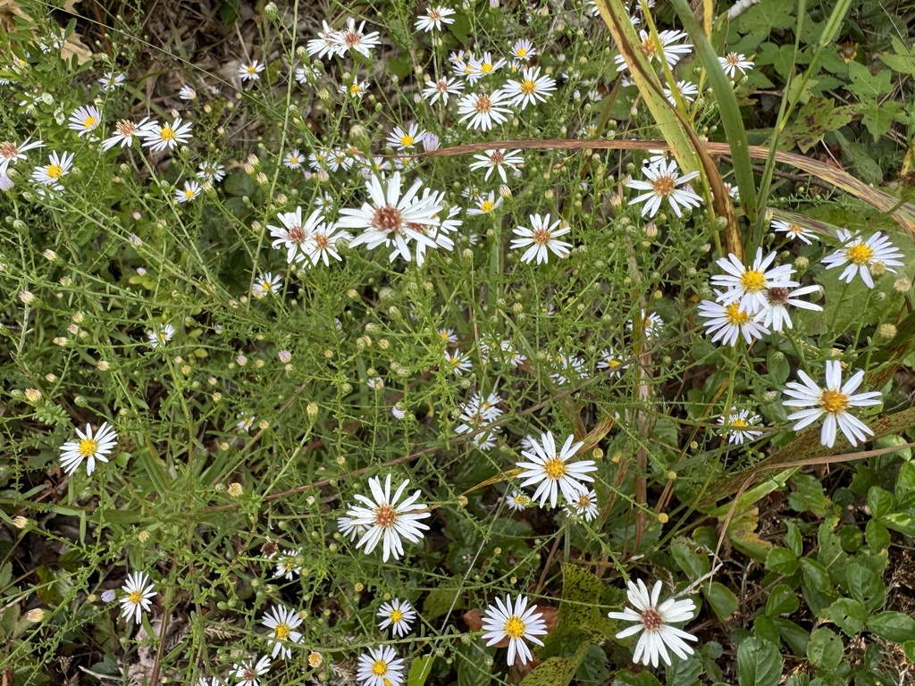
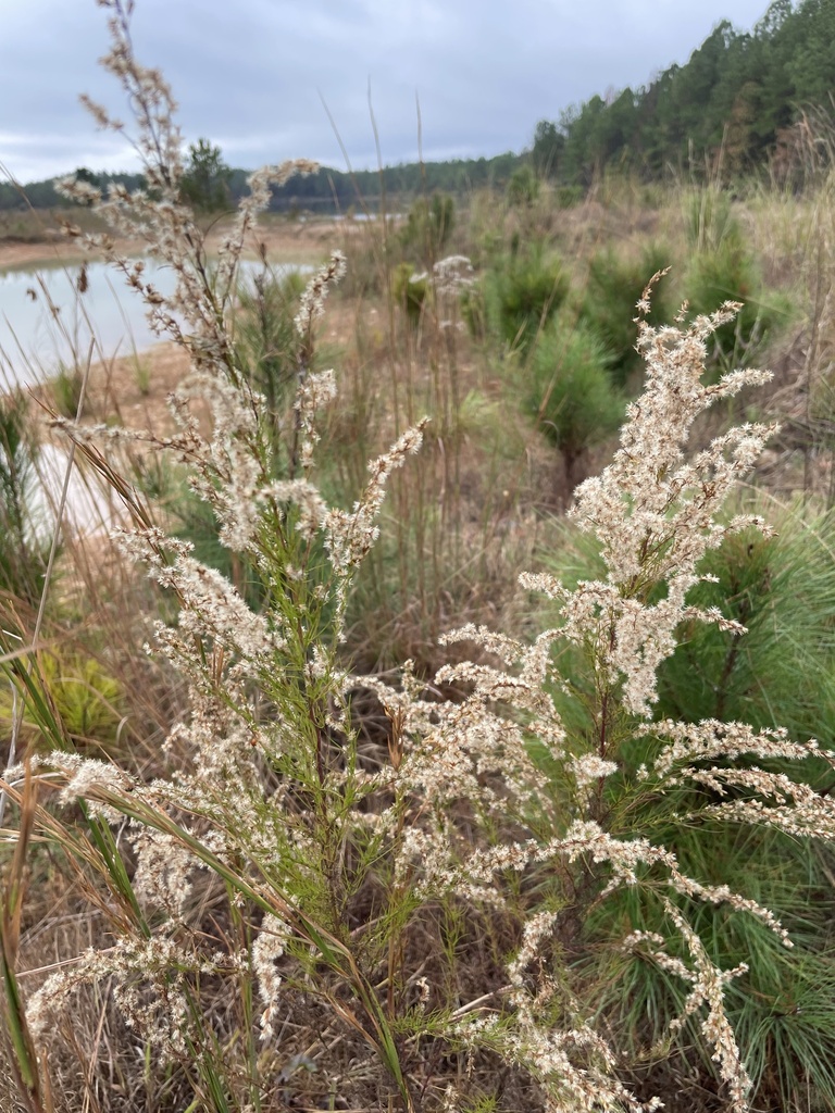
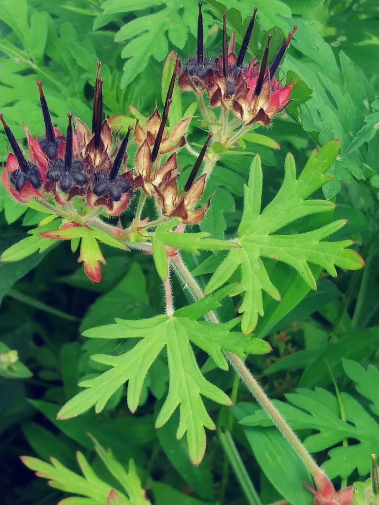
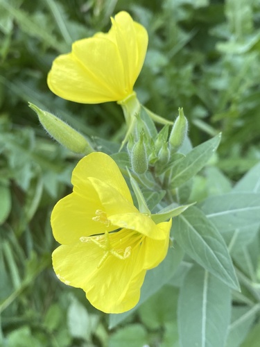
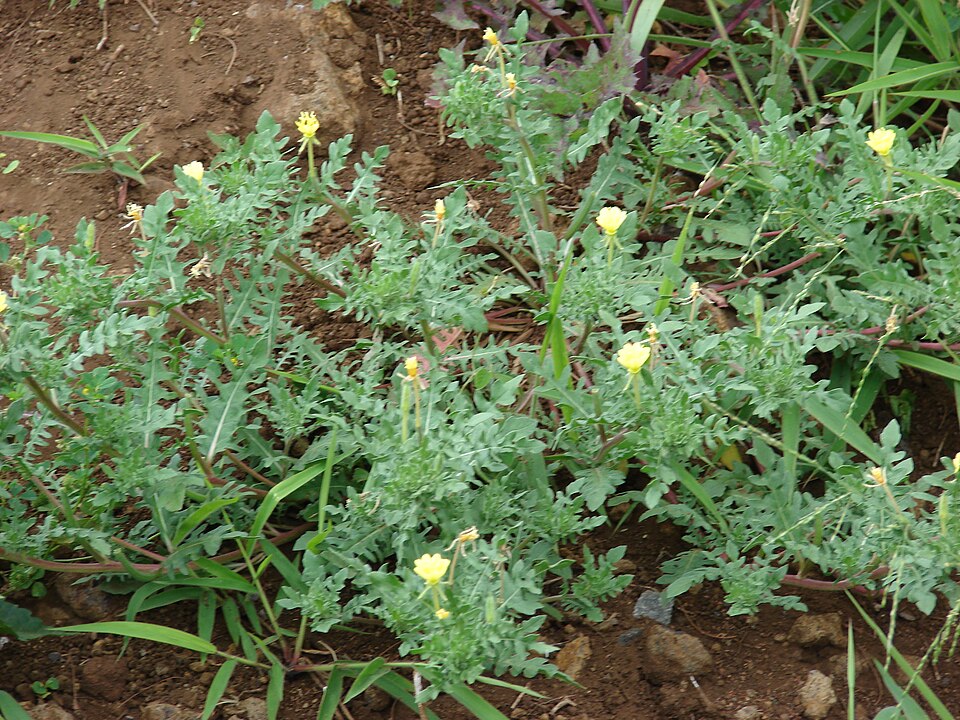
Plants 1283
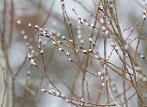
- Pussy WillowSalix discolor
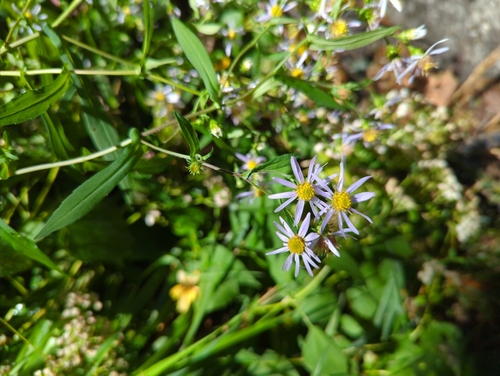
- Crooked-stem AsterSymphyotrichum prenanthoides
- Long Stalk AsterSymphyotrichum dumosum var. dumosum
- Canada LettuceLactuca canadensis
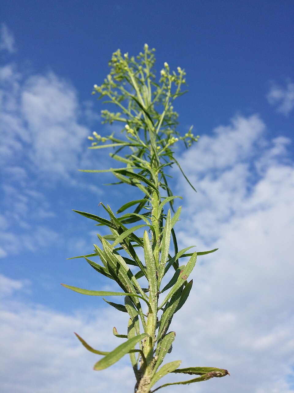
- Common HorseweedErigeron canadensis
- Annual FleabaneErigeron annuus
- Hairy FleabaneErigeron bonariensis
- Dog-fennelEupatorium capillifolium
- Carolina Crane's-billGeranium carolinianum
- Common Evening-primroseOenothera biennis
- Cutleaf Evening-primroseOenothera laciniata
- Northern Evening-primroseOenothera parviflora
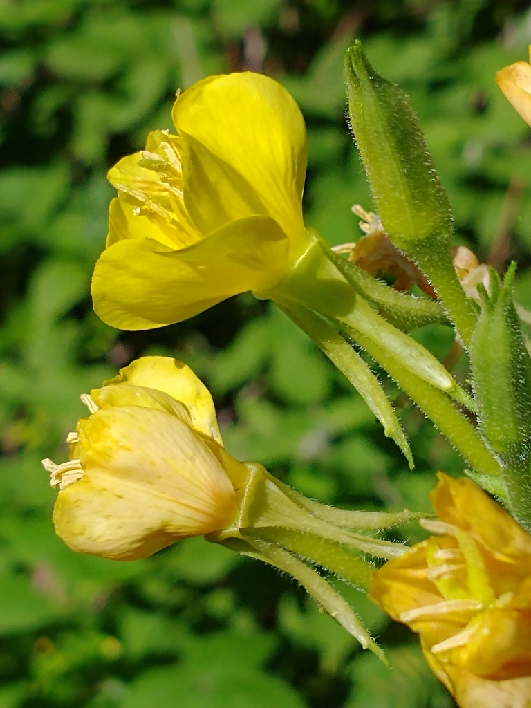
Swamps
Birds 72
- Gull-billed TernGelochelidon nilotica
- Brewer's BlackbirdEuphagus cyanocephalus
- Eurasian WigeonAnas penelope
- Red-breasted NuthatchSitta canadensis
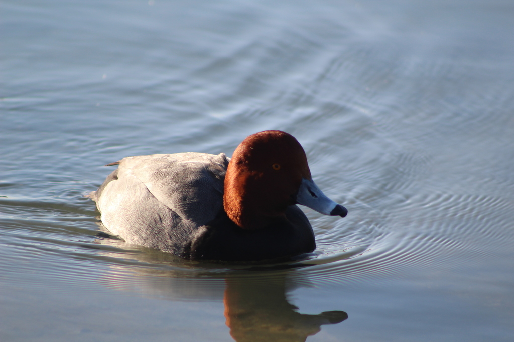
- RedheadAythya americana
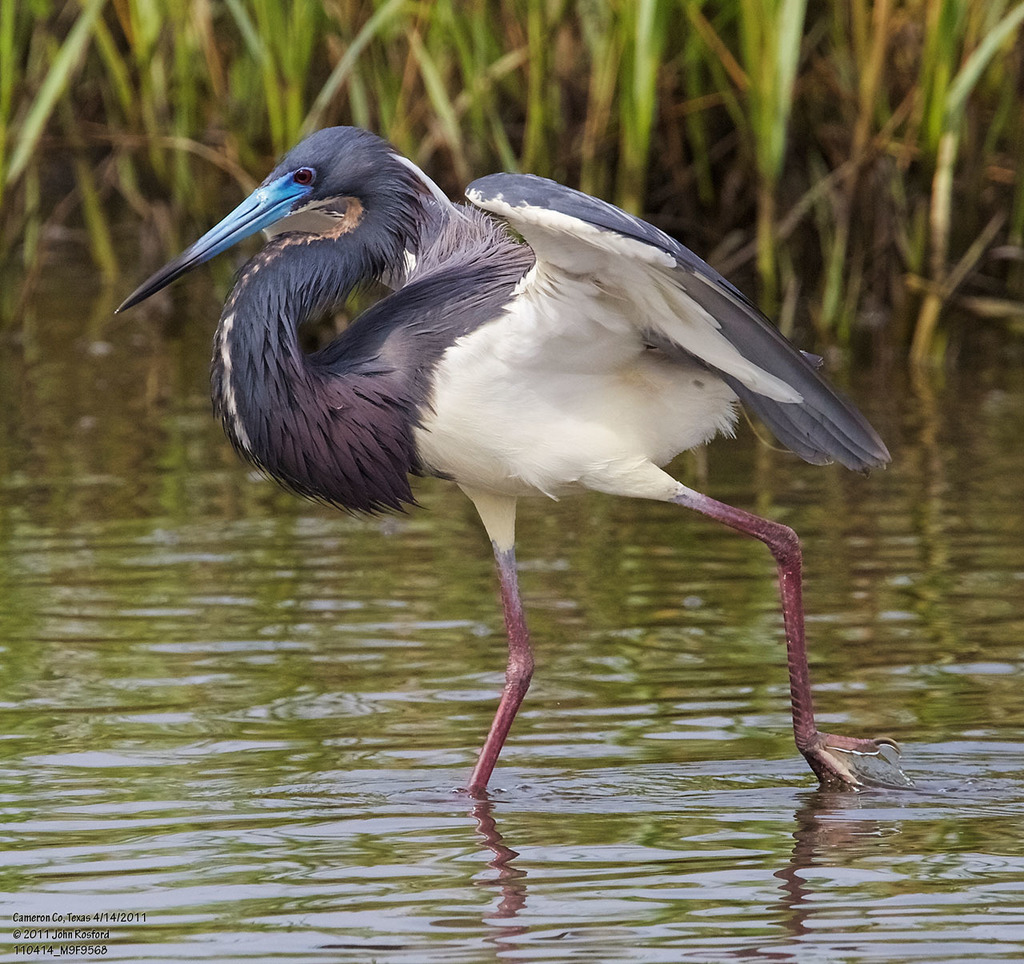
- Tricolored HeronEgretta tricolor
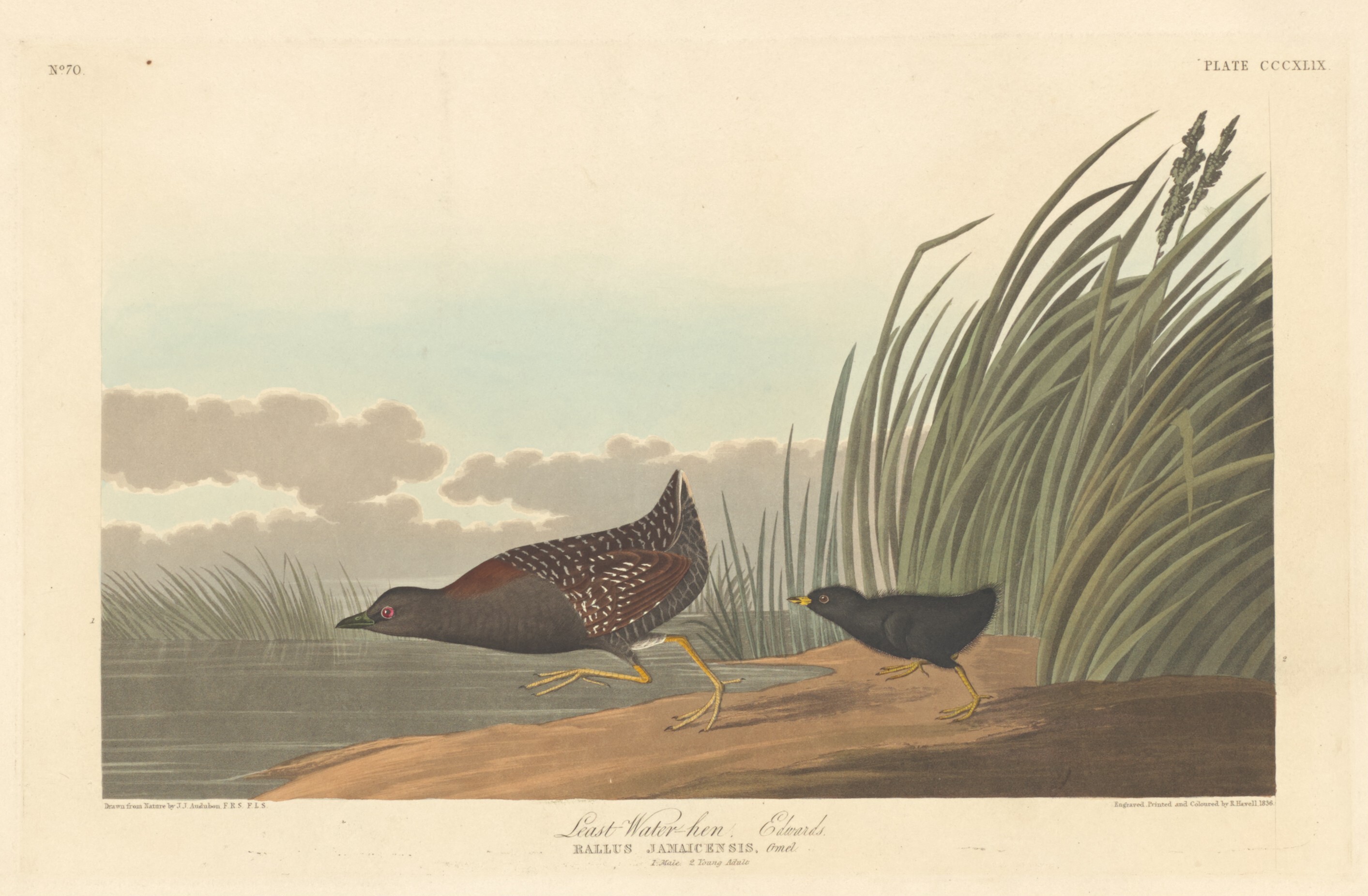
- Black RailLaterallus jamaicensis
- Northern WaterthrushSeiurus noveboracensis
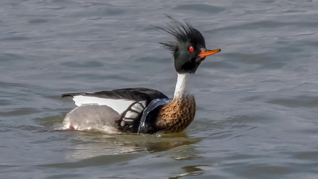
- Red-breasted MerganserMergus serrator
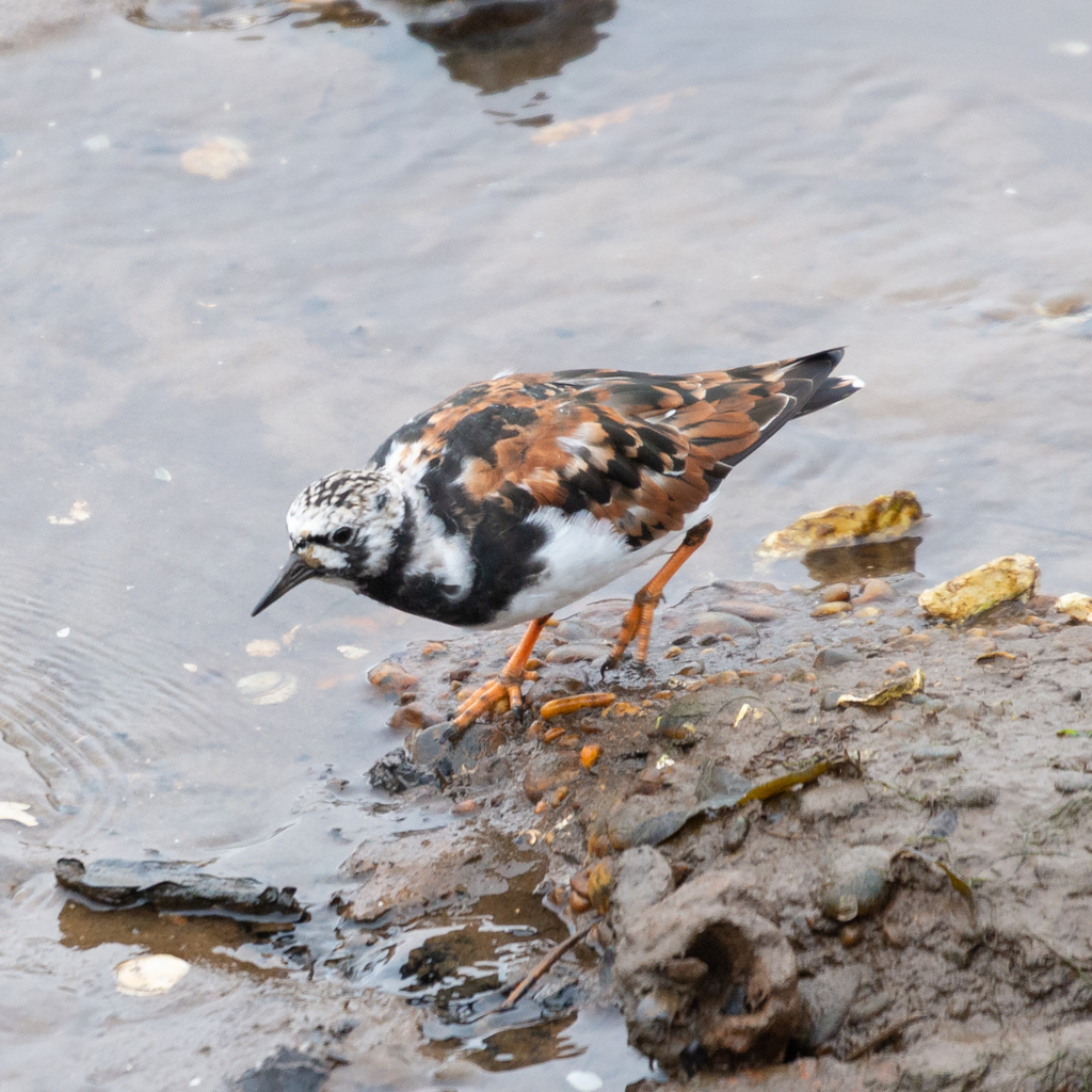
- Ruddy TurnstoneArenaria interpres
- Glossy IbisPlegadis falcinellus
- Great CormorantPhalacrocorax carbo
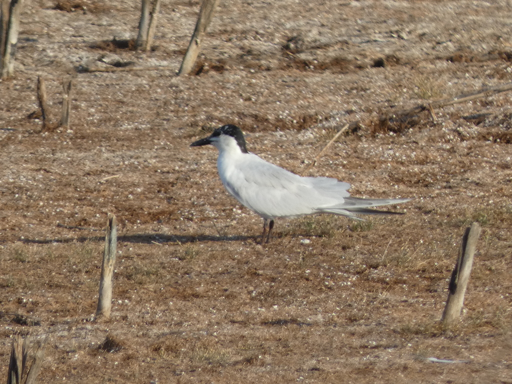
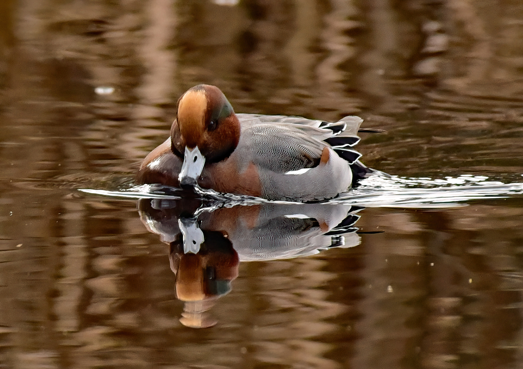
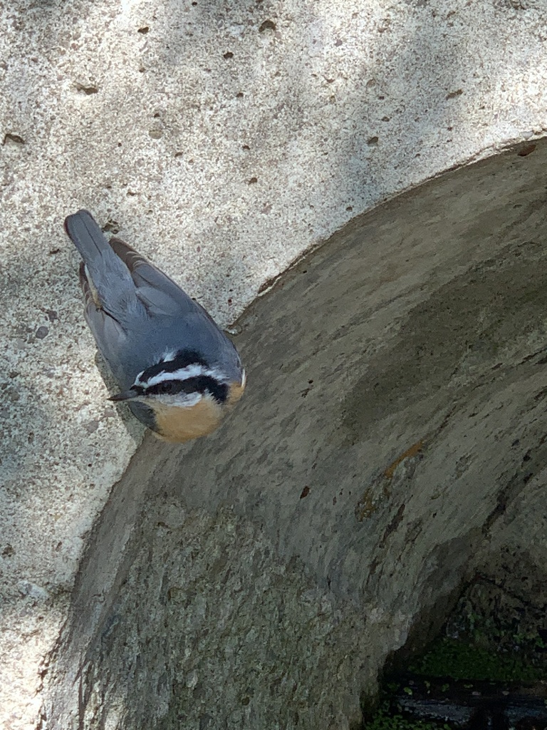
Plants 318
- Dense-flower SmartweedPersicaria densiflora
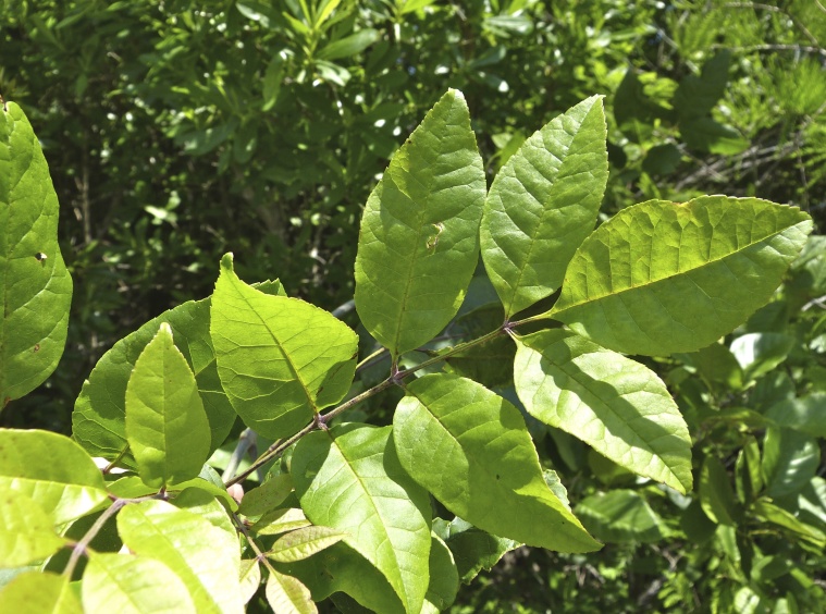
- Carolina AshFraxinus caroliniana
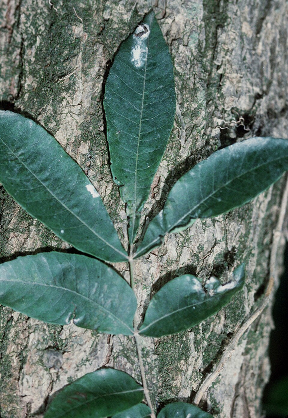
- Water HickoryCarya aquatica
- Bent SedgeCarex styloflexa
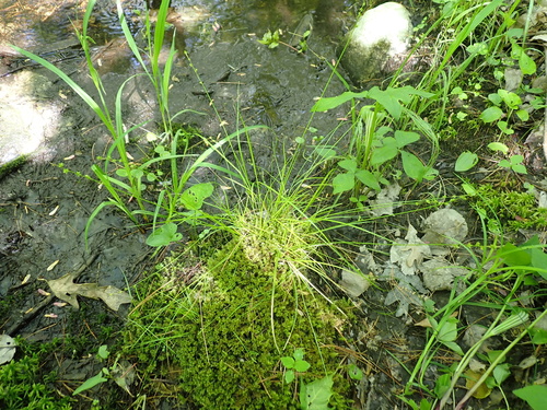
- Cypress-swamp SedgeCarex joorii
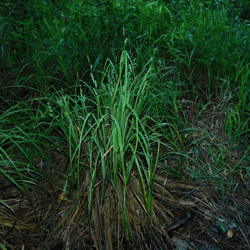
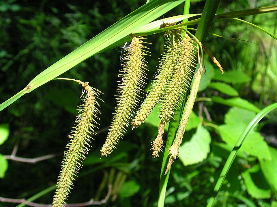
- Fringed SedgeCarex crinita
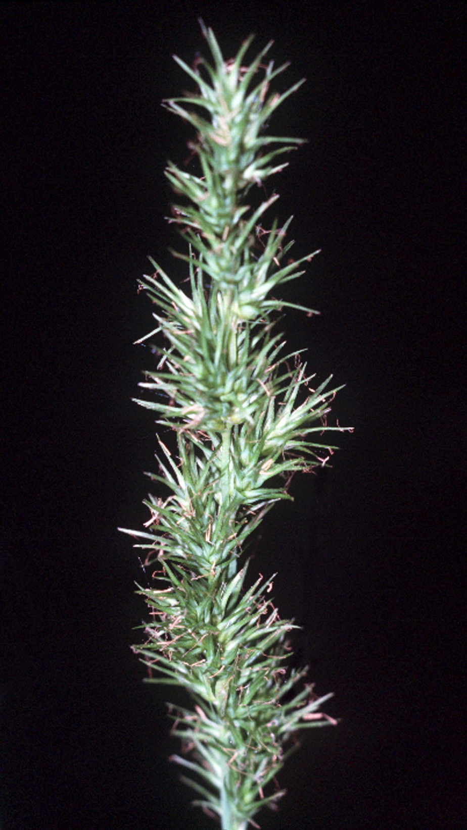
- Ravenfoot SedgeCarex crus-corvi
- Weak Stellate SedgeCarex seorsa
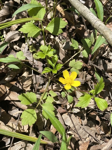
- Swamp ButtercupRanunculus septentrionalis
- Drooping BulrushScirpus lineatus
- Shield Marsh-pennywortHydrocotyle verticillata
- Spreading BulrushScirpus divaricatus


Sources
- USGS Gap Analysis Project habitat models (2001)
- USGS GAP summer habitat model for Cliff Swallow Fresh water only
- USGS Gap Analysis Project range maps (2001), modeled by watershed; migratory gives no dates
- NatureServe Explorer (CC BY 4.0), habitat names
- US Census TIGER/Line counties
- Names follow the USGS Gap Analysis Project (2001)