

Bird
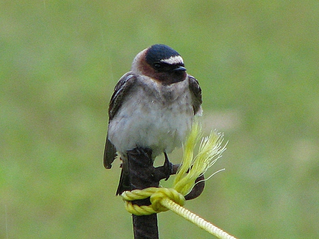
Cliff Swallow
Petrochelidon pyrrhonota
A summer resident that nests in Arkansas. Found in all 75 counties, across 11 habitats.
- Here
- Summer and on migration
- Nesting
- Nests here
- Range
- All 75 counties
- Habitats
- 11
At a glance
- Group
- Birds
- Here
- Summer and on migration
- Nesting
- Nests here
- Range
- All 75 counties
- Habitats
- 11
- Habitat models
- Summer
Where it lives
The places its habitat model includes. It is not found everywhere a habitat occurs.
Habitats in Arkansas 11
Each habitat page lists the plants and wildlife also found there.
Disturbed and introduced wetlands
Wet ground taken over by weedy or introduced plants after disturbance, such as common reed, Chinese tallow or tamarisk stands; the upland counterpart is roadsides, fields and disturbed ground.
Floodplain and bottomland forests
Forests on low ground beside rivers and streams that flood from time to time.
Flat, poorly drained uplands and terraces with oaks, sweetgum and sometimes loblolly pine, wet in winter and dry in summer, but neither a floodplain nor a swamp.
Still water and its edges: ponds, lakes, millponds and reservoirs.
Streams, rivers and their banks
Flowing water and its banks, bars and rocky shoals.
Forested wetlands with standing water much of the year, such as cypress and gum swamps.
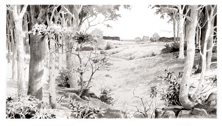
Glades, barrens and outcrops on limestone
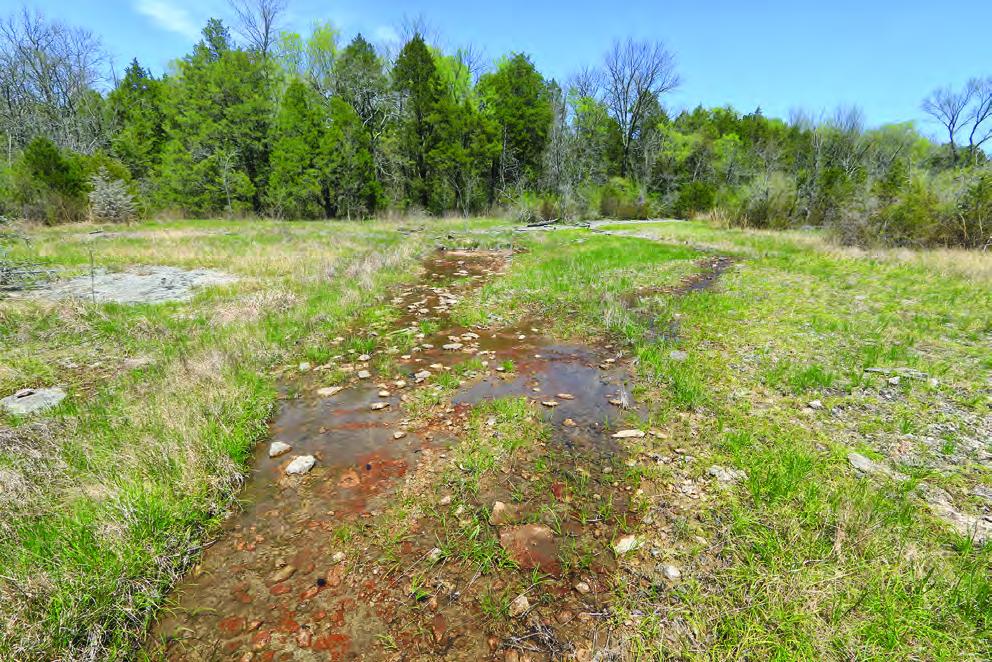
Granite and other acidic rock outcrops
Bare or thin-soil rock on granite, gneiss, sandstone, quartzite and similar acidic rock, including granite flatrocks and domes.
Open, grass-dominated places kept open by fire, grazing or thin soil, from tallgrass prairie to Piedmont prairies.
Roadsides, fields and disturbed ground
Ground opened by people: roadsides, old fields, pastures, fencerows and lots.
Other habitats in its models (60)
Land cover, or classes with no habitat page in Arkansas.
- Developed, Low Intensity Summer, only within 2,000 m of water.
- Developed, Medium Intensity Summer, only within 2,000 m of water.
- Open Water (Aquaculture) Summer.
- Unconsolidated Shore (Lake/River/Pond) Summer.
- Unconsolidated Shore (Beach/Dune) Summer.
- North-Central Appalachian Circumneutral Cliff and Talus Summer, only within 2,000 m of water.
- North-Central Appalachian Acidic Cliff and Talus Summer, only within 2,000 m of water.
- Southern Piedmont Cliff Summer, only within 2,000 m of water.
- Southern Interior Acid Cliff Summer, only within 2,000 m of water.
- Southern Appalachian Montane Cliff Summer, only within 2,000 m of water.
- Southern Appalachian Rocky Summit Summer, only within 2,000 m of water.
- East-Central Texas Plains Post Oak Savanna and Woodland Summer, only within 2,000 m of water.
- East-Central Texas Plains Riparian Forest Summer.
- Edwards Plateau Limestone Savanna and Woodland Summer, only within 2,000 m of water.
- Western Great Plains Wooded Draw and Ravine Summer, only within 2,000 m of water.
- Southeastern Interior Longleaf Pine Woodland Summer, only within 2,000 m of water.
- Northeastern Interior Pine Barrens Summer, only within 2,000 m of water.
- North-Central Interior Oak Savanna Summer, only within 2,000 m of water.
- North-Central Oak Barrens Summer, only within 2,000 m of water.
- Southern Piedmont Glade and Barrens Summer, only within 2,000 m of water.
- Nashville Basin Limestone Glade Summer, only within 2,000 m of water.
- West Gulf Coastal Plain Catahoula Barrens Summer, only within 2,000 m of water.
- West Gulf Coastal Plain Nepheline Syenite Glade Summer, only within 2,000 m of water.
- Eastern Highland Rim Prairie and Barrens - Dry Modifier Summer, only within 2,000 m of water.
- Central Mixedgrass Prairie Summer, only within 2,000 m of water.
- North-Central Interior Sand and Gravel Tallgrass Prairie Summer, only within 2,000 m of water.
- Central Tallgrass Prairie Summer, only within 2,000 m of water.
- Southern Blackland Tallgrass Prairie Summer, only within 2,000 m of water.
- Texas-Louisiana Coastal Prairie Summer, only within 2,000 m of water.
- Central and Upper Texas Coast Dune and Coastal Grassland Summer.
- Harvested Forest - Grass/Forb Regeneration Summer, only within 2,000 m of water.
- Recently Burned Grassland Summer, only within 2,000 m of water.
- Recently Burned Shrubland Summer, only within 2,000 m of water.
- Introduced Upland Vegetation - Forbland Summer, only within 2,000 m of water.
- Introduced Upland Vegetation - Annual Grassland Summer, only within 2,000 m of water.
- Introduced Upland Vegetation - Perennial Grassland Summer, only within 2,000 m of water.
- Modified/Managed Southern Tall Grassland Summer, only within 2,000 m of water.
- Central Interior and Appalachian Shrub-Herbaceous Wetland Systems Summer.
- Central Florida Herbaceous Seep Summer.
- West Gulf Coastal Plain Near-Coast Large River Swamp Summer.
- Northern Atlantic Coastal Plain Basin Swamp and Wet Hardwood Forest Summer.
- Southern and Central Appalachian Bog and Fen Summer.
- Texas Saline Coastal Prairie Summer.
- Eastern Great Plains Wet Meadow, Prairie, and Marsh Summer.
- Western Great Plains Depressional Wetland Systems Summer.
- Central Florida Herbaceous Pondshore Summer.
- Southern Piedmont/Ridge and Valley Upland Depression Swamp Summer.
- Central Appalachian Riparian - Forest Modifier Summer.
- Southern Piedmont Large Floodplain Forest - Forest Modifier Summer.
- South-Central Interior Large Floodplain - Herbaceous Modifier Summer.
- Western Great Plains Floodplain Systems Summer.
- Eastern Great Plains Floodplain Systems Summer.
- Tamaulipan Riparian Systems Summer.
- Cumberland Riverscour Summer.
- Southern Piedmont Small Floodplain and Riparian Forest Summer.
- Texas-Louisiana Coastal Prairie Slough Summer.
- West Gulf Coastal Plain Wet Longleaf Pine Savanna and Flatwoods Summer.
- Central Florida Pine Flatwoods Summer, only within 2,000 m of water.
- South-Central Interior / Upper Coastal Plain Wet Flatwoods Summer.
- North-Central Interior Wet Flatwoods Summer.
Seasons in Arkansas
- Migratory: does not nest here, in 49 of 75 counties.
- Summer: nests here, in 53 of 75 counties.
Also found in this habitat
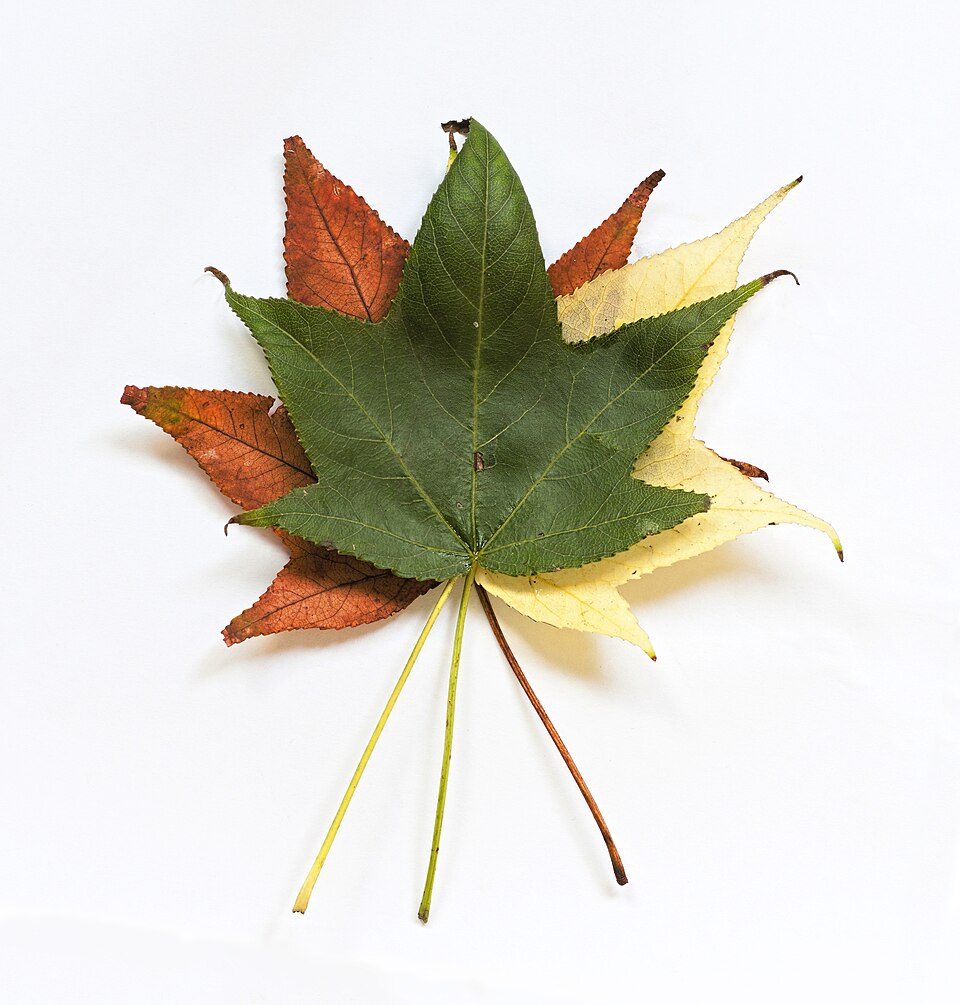
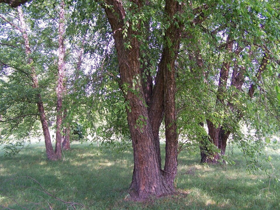
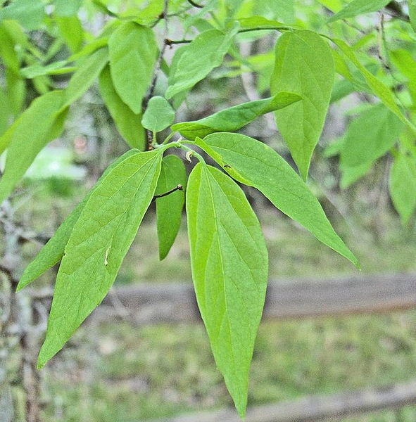
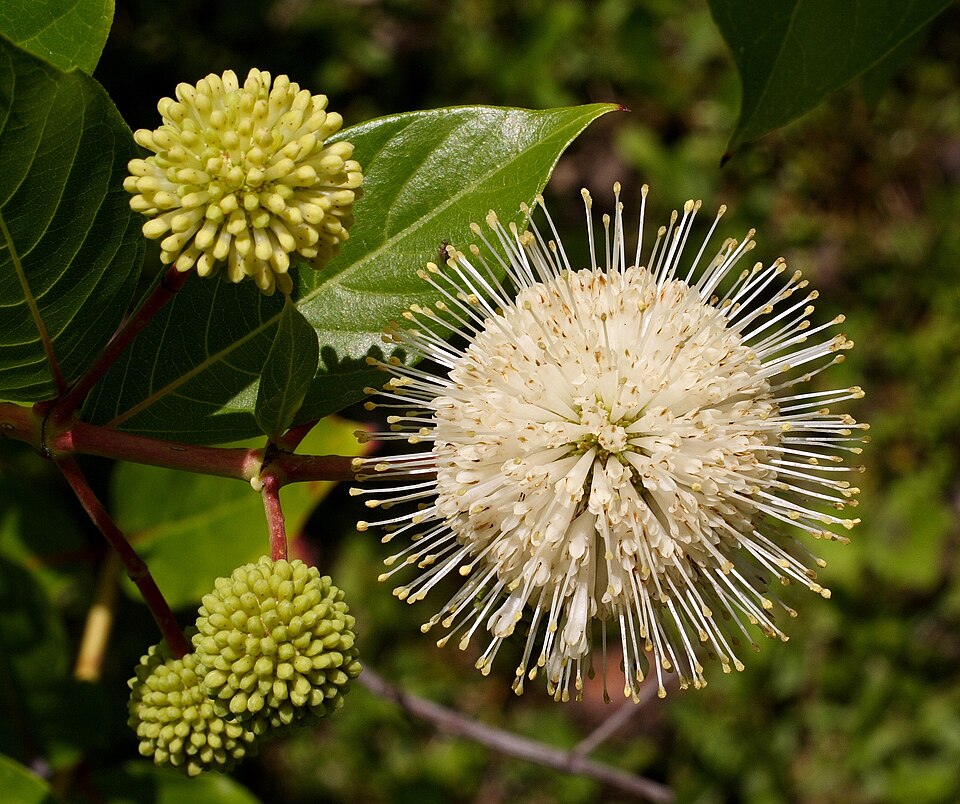
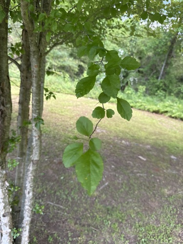
Plants 760
Plants named in NatureServe descriptions of these habitats that grow in Arkansas. Shared habitat, not food.
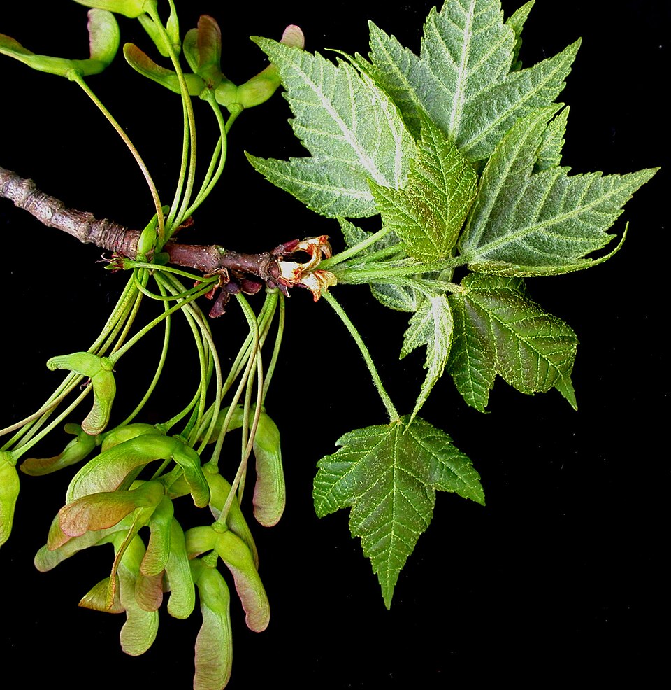
- SweetgumLiquidambar styraciflua
- False NettleBoehmeria cylindrica
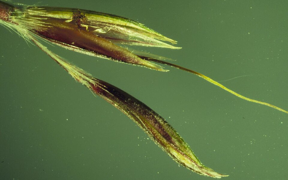
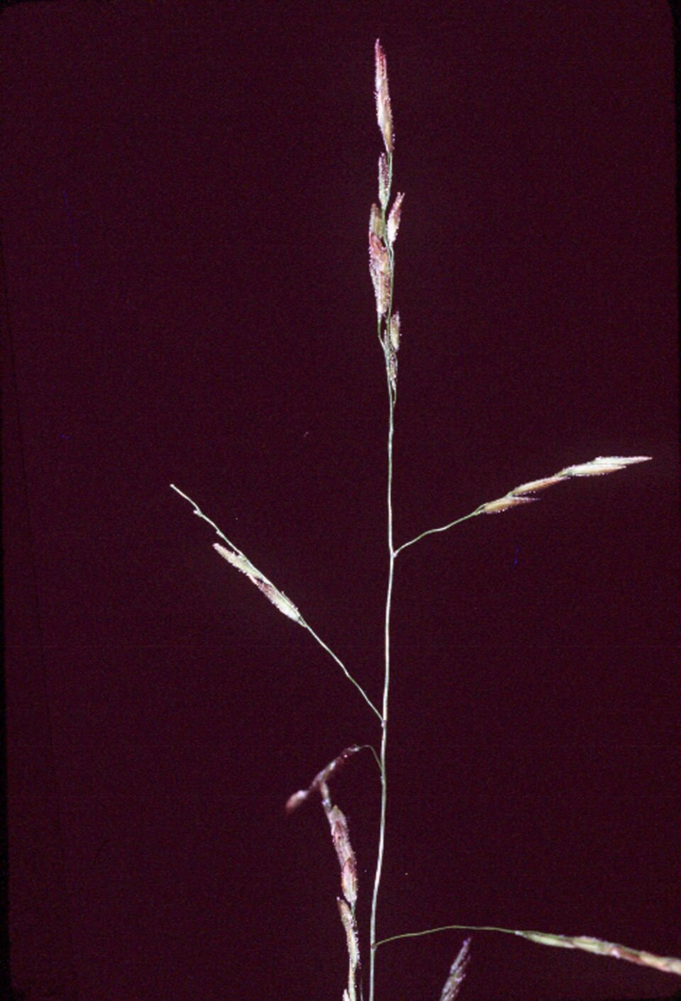
- Little BluestemSchizachyrium scoparium
- American HornbeamCarpinus caroliniana
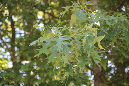
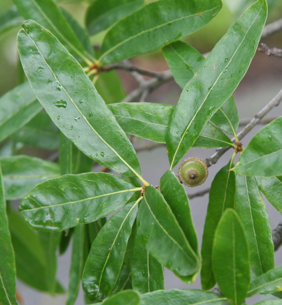
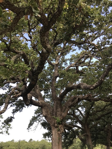
- Water OakQuercus nigra
- Poison-ivyToxicodendron radicans
- Red MapleAcer rubrum
- Big BluestemAndropogon gerardi
- SupplejackBerchemia scandens
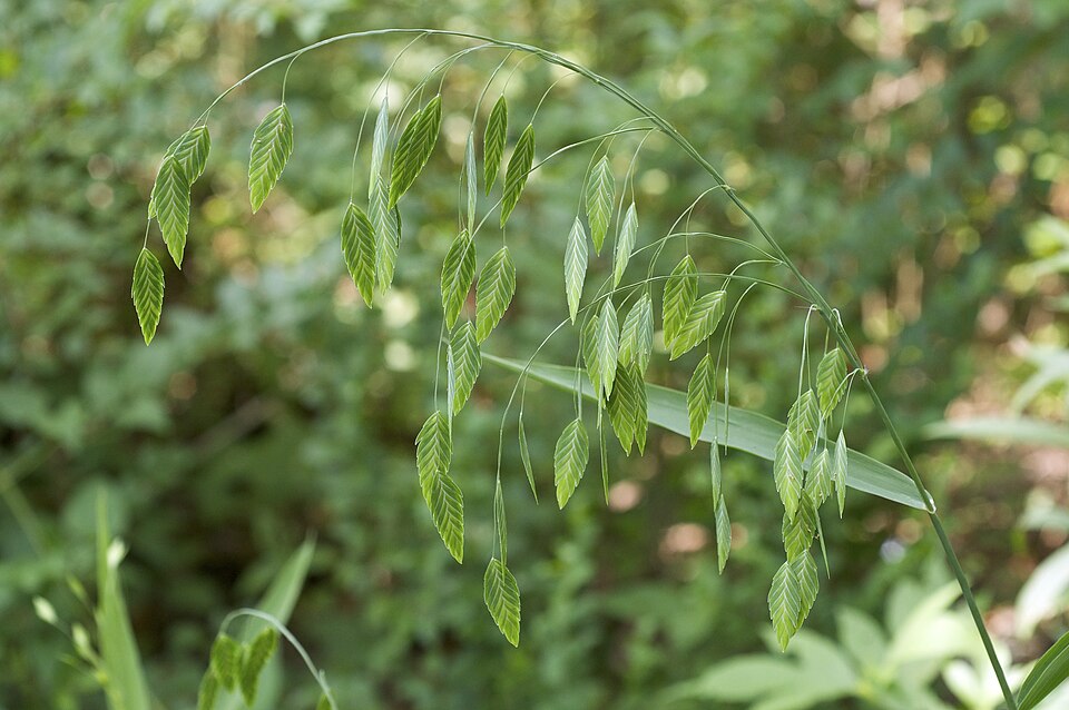
- River OatsChasmanthium latifolium
- White CutgrassLeersia virginica
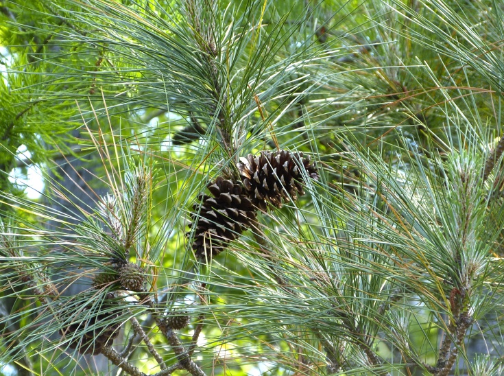
- Loblolly PinePinus taeda
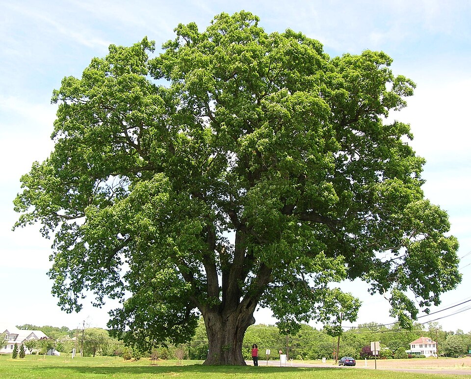
- White OakQuercus alba
- Cherrybark OakQuercus pagoda
- Willow OakQuercus phellos
- Post OakQuercus stellata
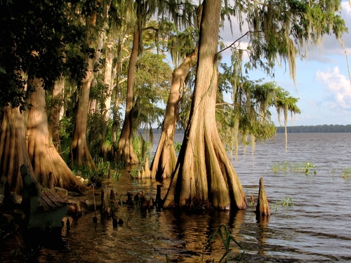
- Bald CypressTaxodium distichum
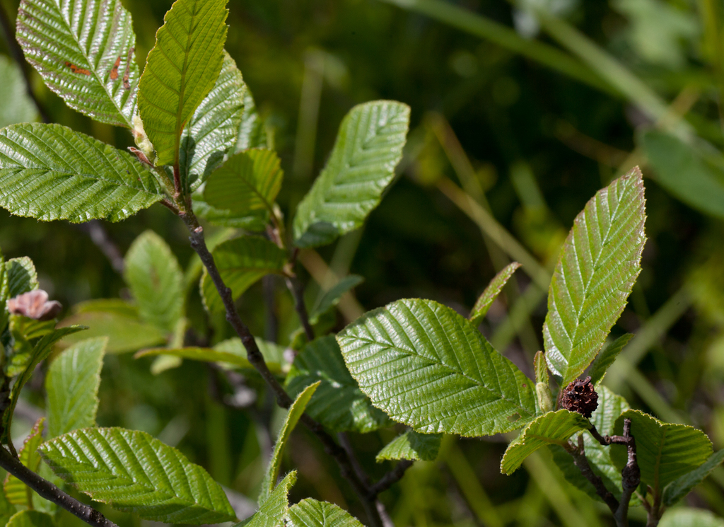
- Hazel AlderAlnus serrulata
- River BirchBetula nigra
- SugarberryCeltis laevigata
- ButtonbushCephalanthus occidentalis
- Slender SpikegrassChasmanthium laxum
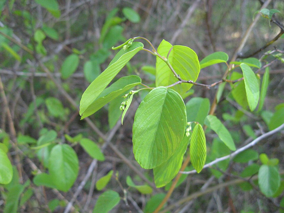
- Green HawthornCrataegus viridis
- Possumhaw HollyIlex decidua
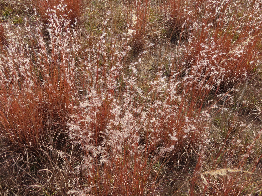
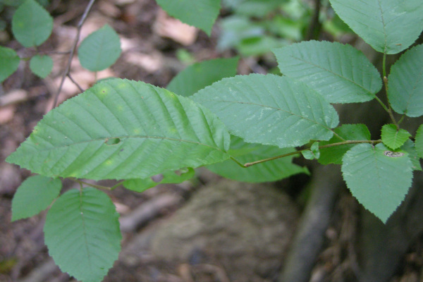
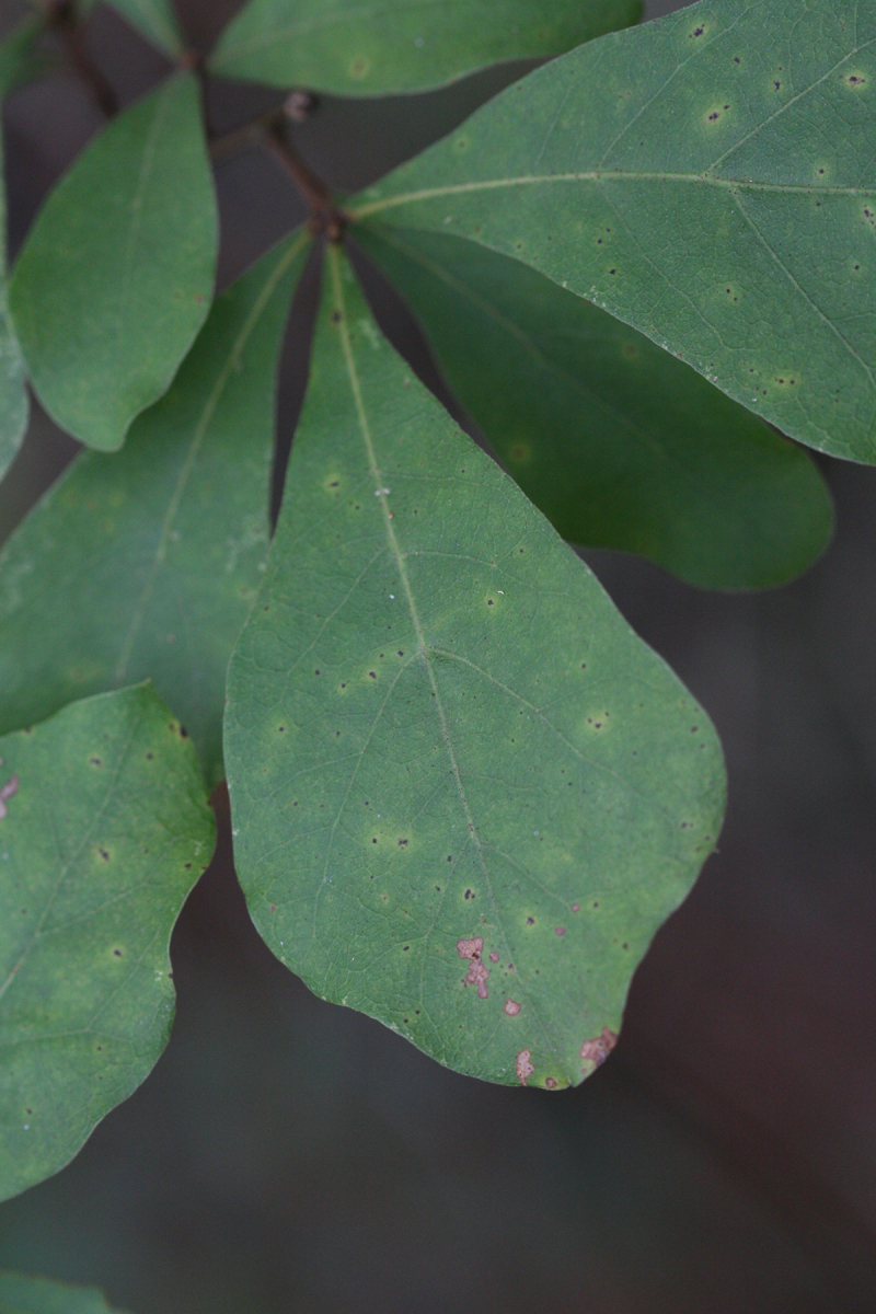
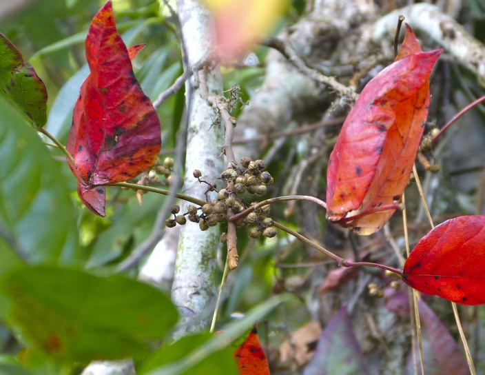
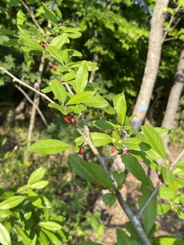
Wildlife 236
Other animals whose habitat models include the same habitats in Arkansas. Not sighting records.
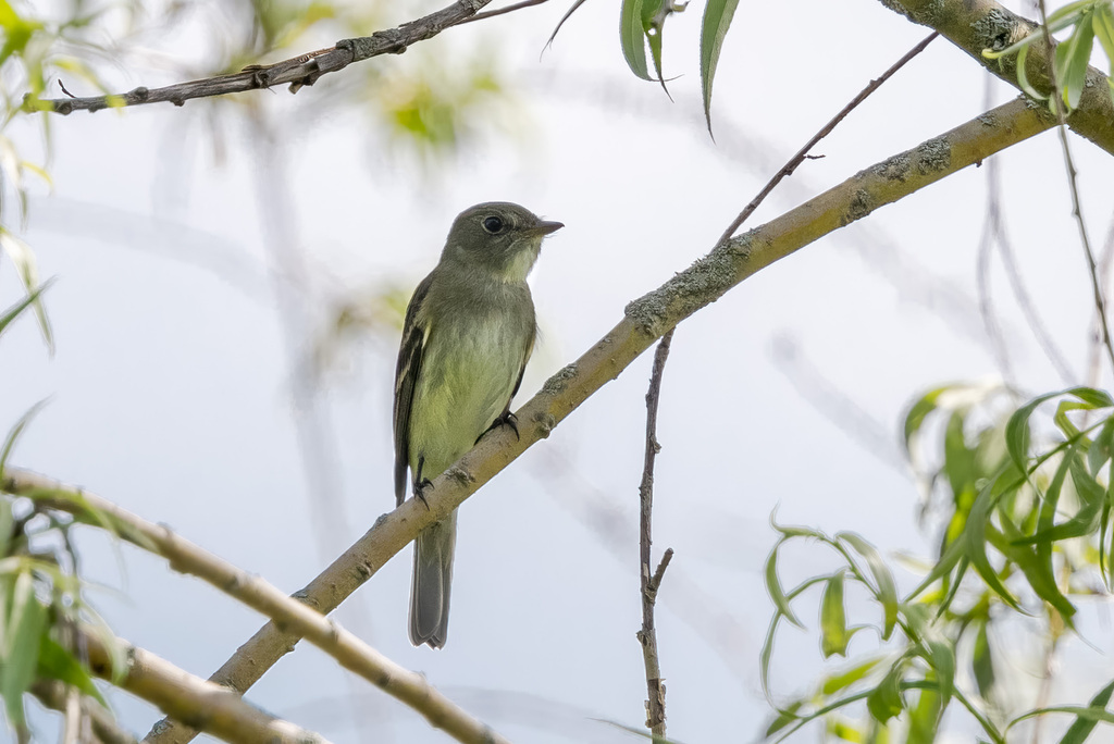
- Alder FlycatcherEmpidonax alnorum
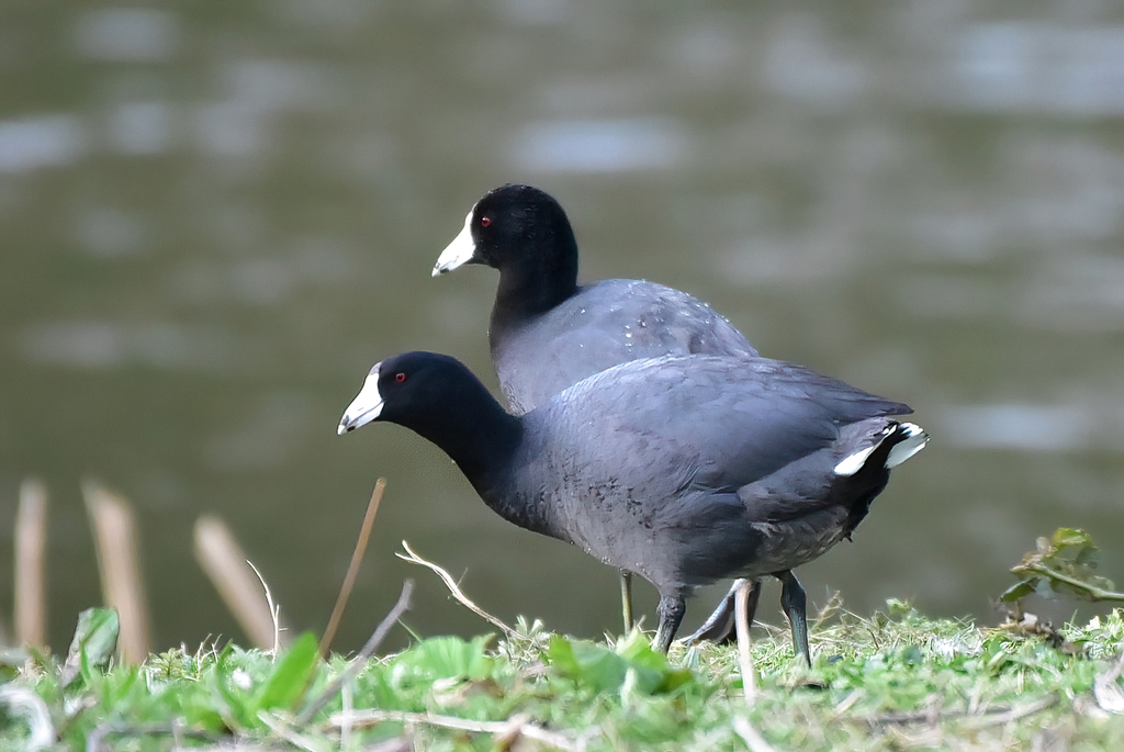
- American CootFulica americana
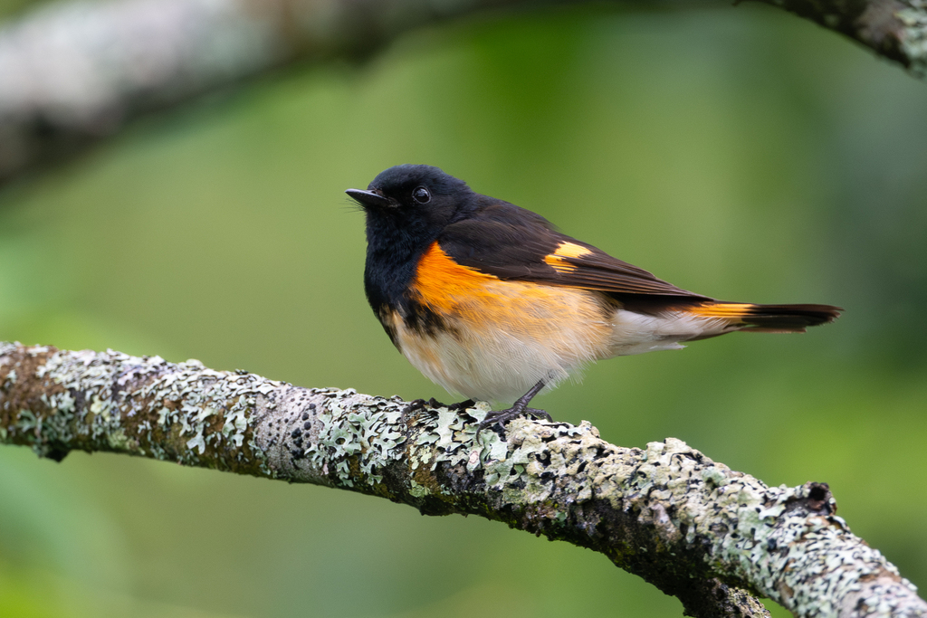
- American RedstartSetophaga ruticilla
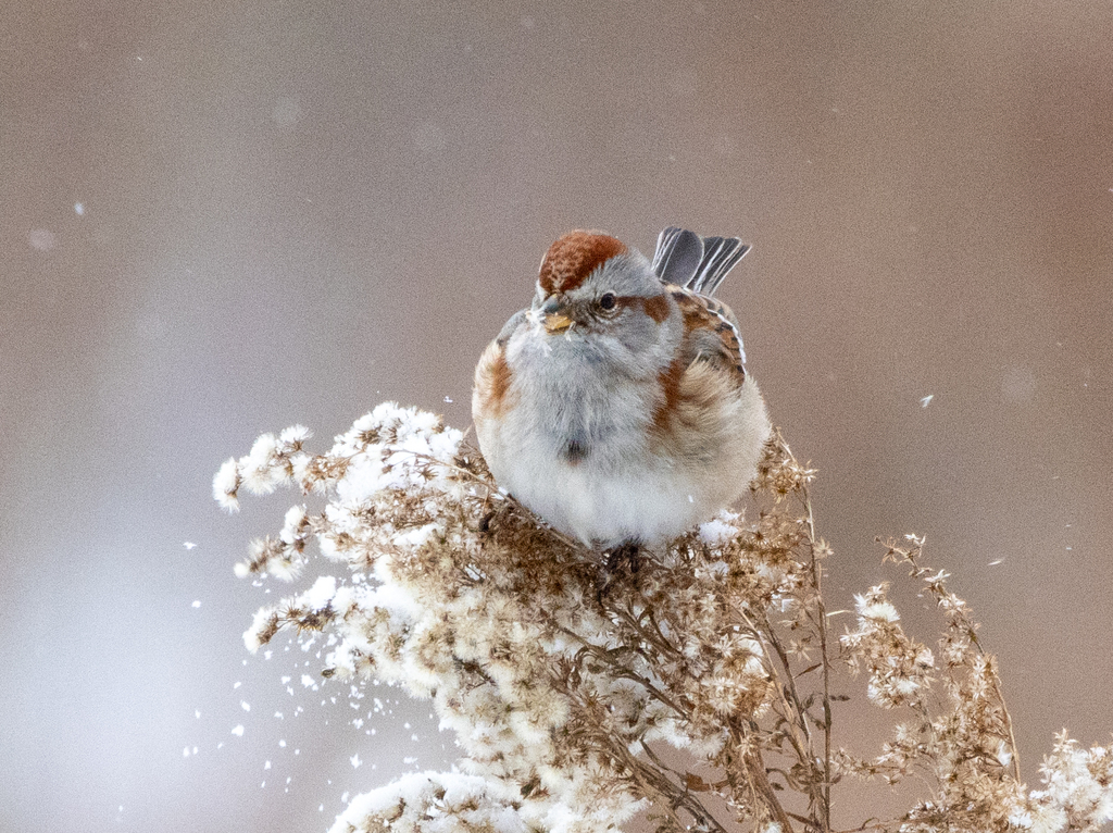
- American Tree SparrowSpizella arborea
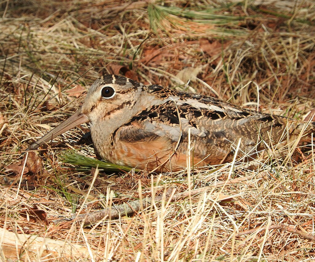
- American WoodcockScolopax minor
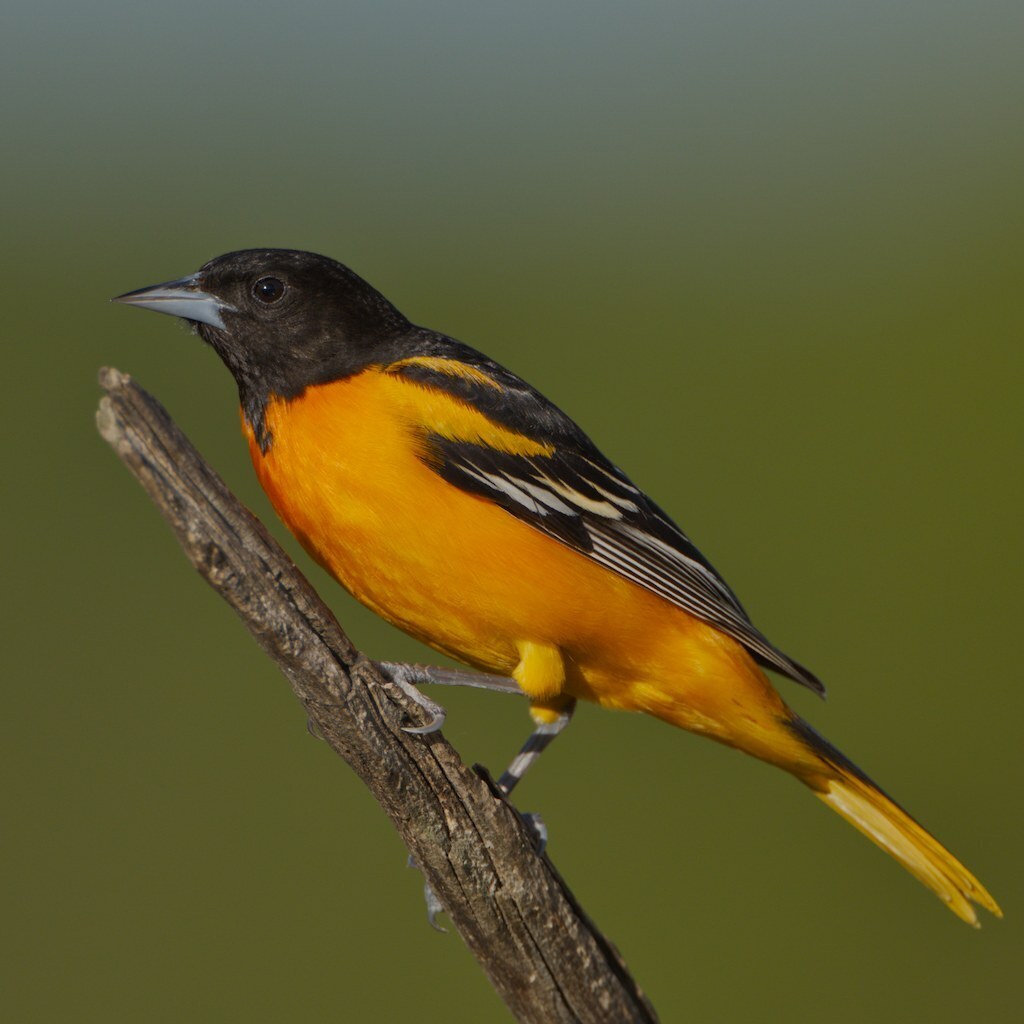
- Baltimore OrioleIcterus galbula
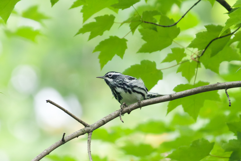
- Black-and-White WarblerMniotilta varia
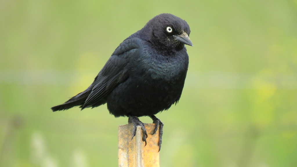
- Brewer's BlackbirdEuphagus cyanocephalus
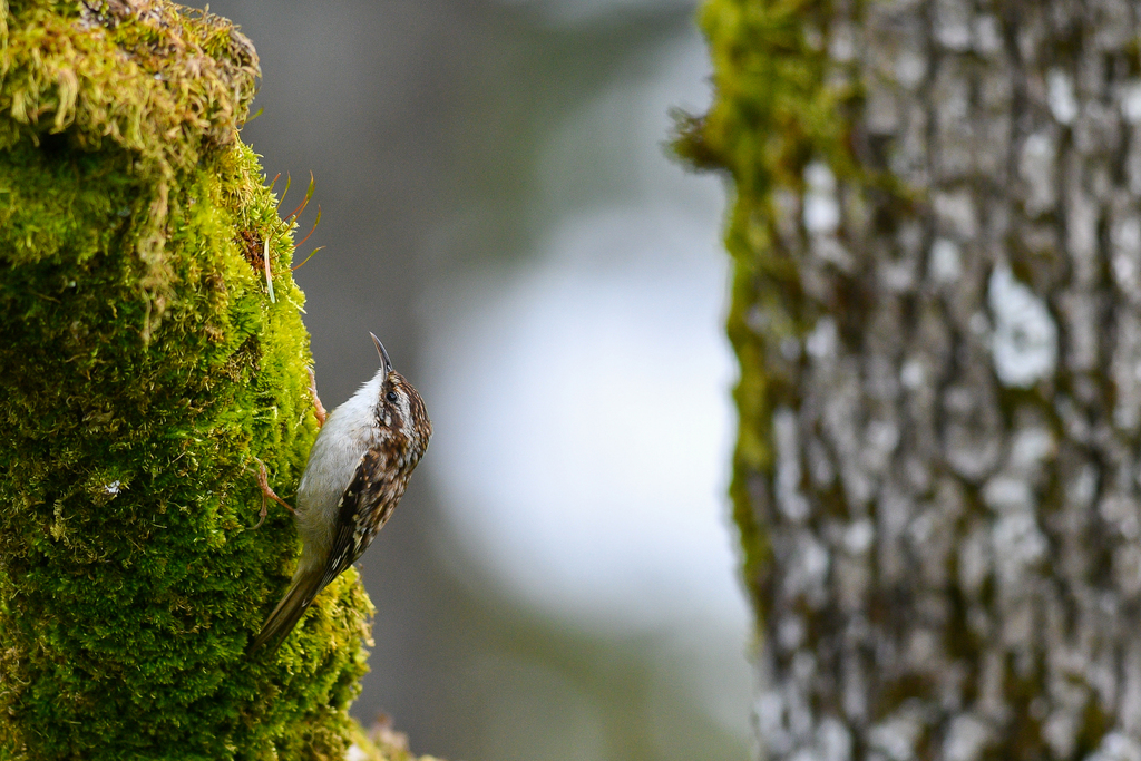
- Brown CreeperCerthia americana
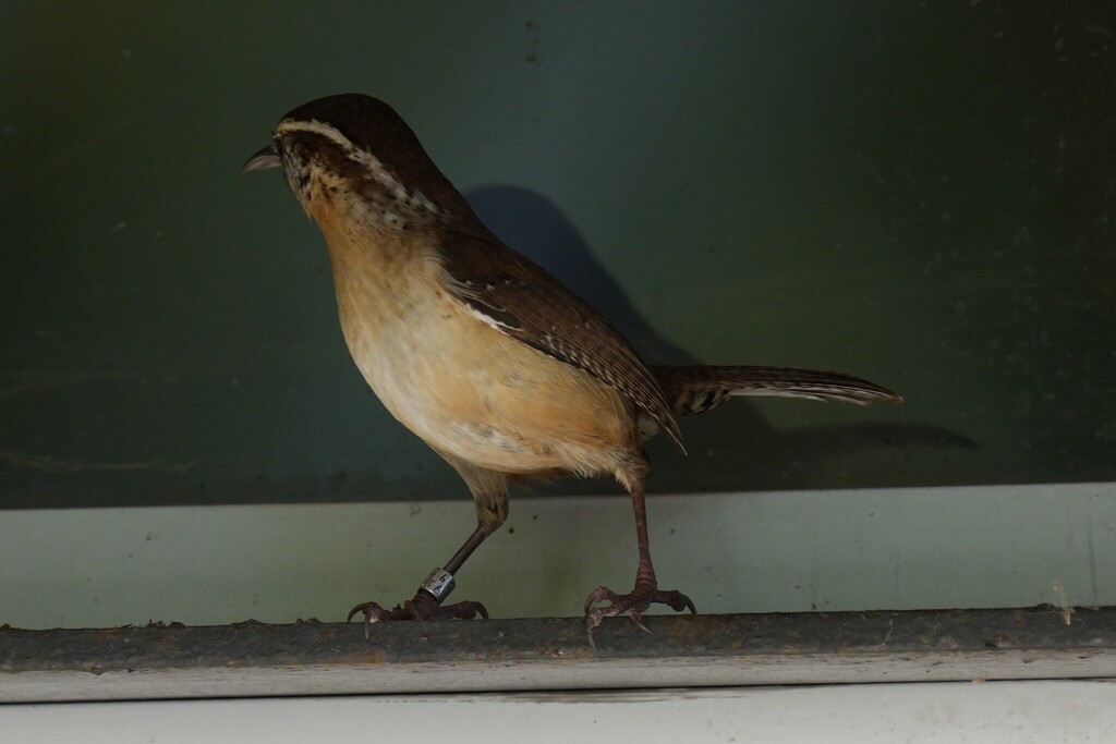
- Carolina WrenThryothorus ludovicianus
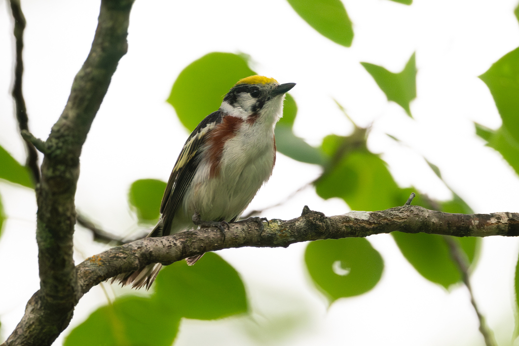
- Chestnut-sided WarblerDendroica pensylvanica
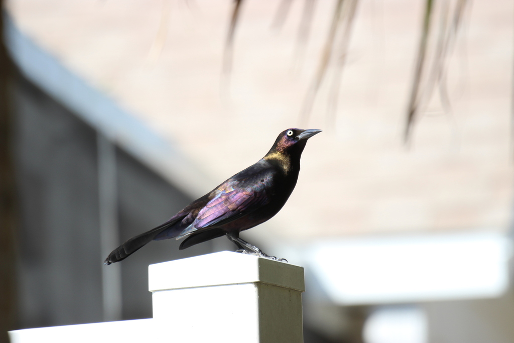
- Common GrackleQuiscalus quiscula
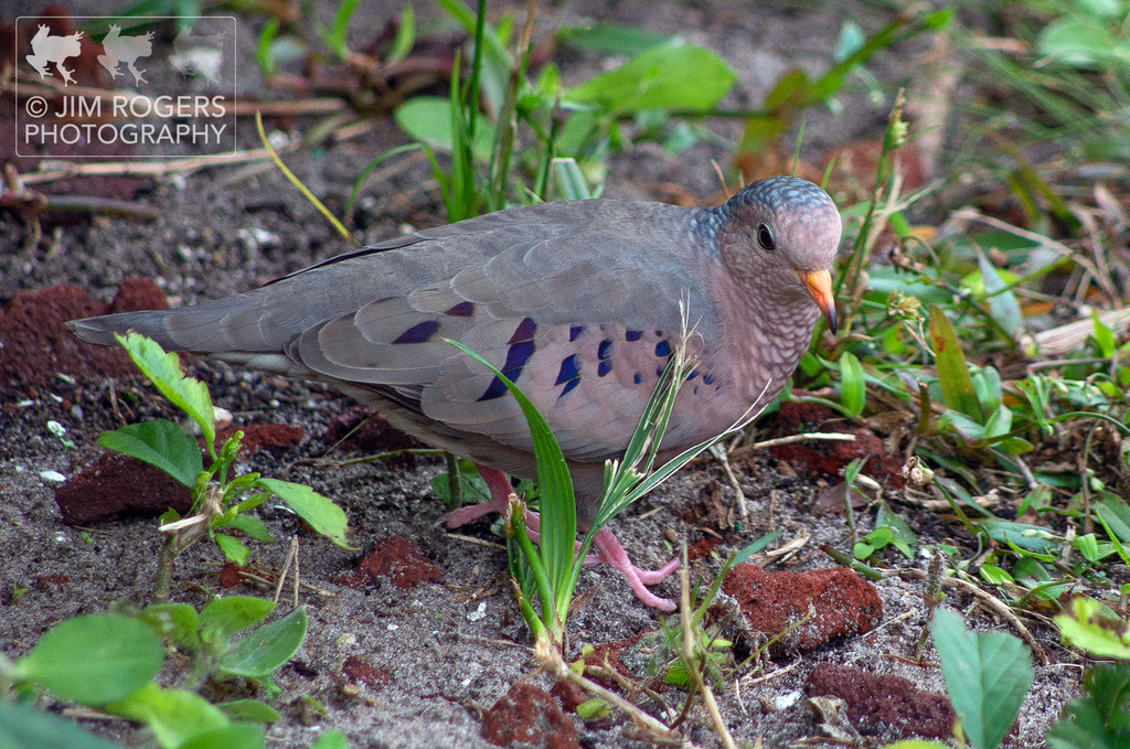
- Common Ground-doveColumbina passerina
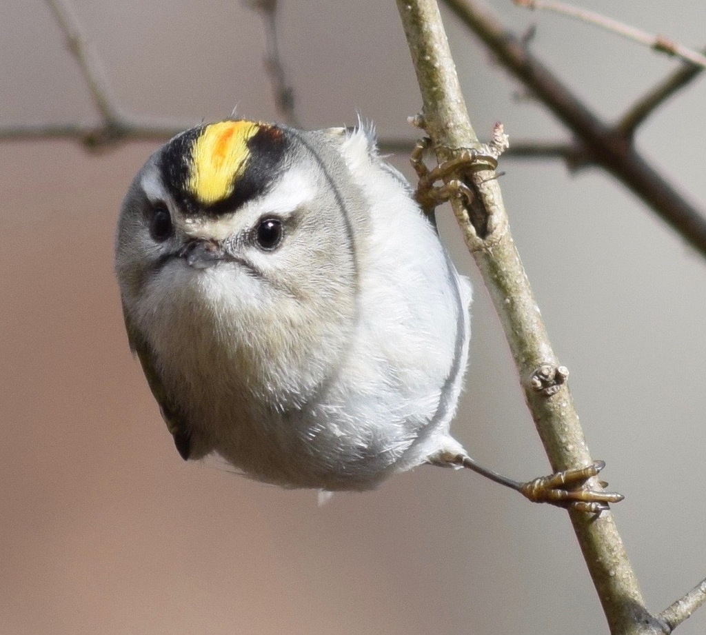
- Golden-crowned KingletRegulus satrapa
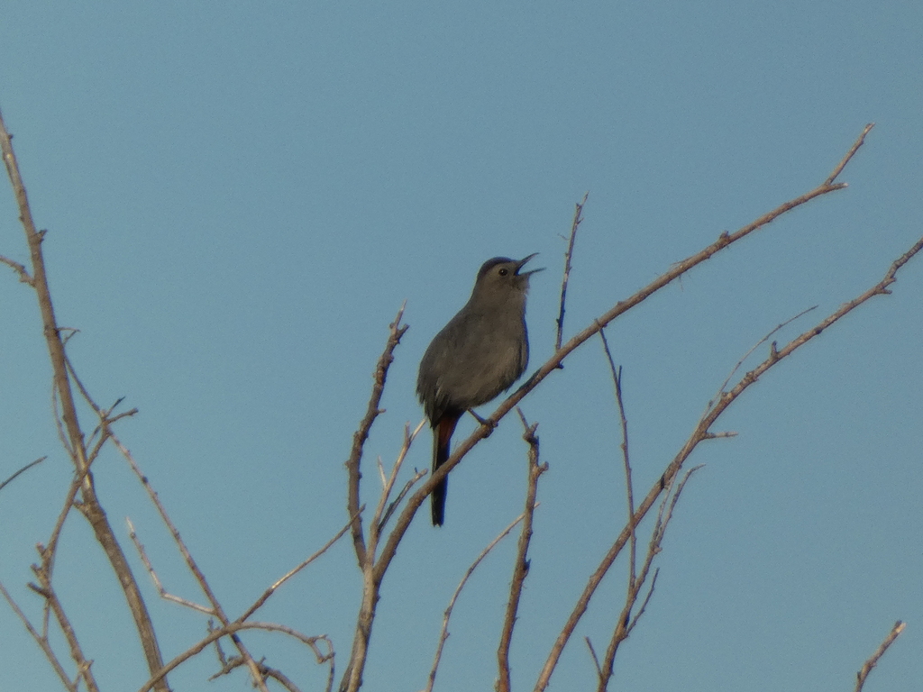
- Gray CatbirdDumetella carolinensis
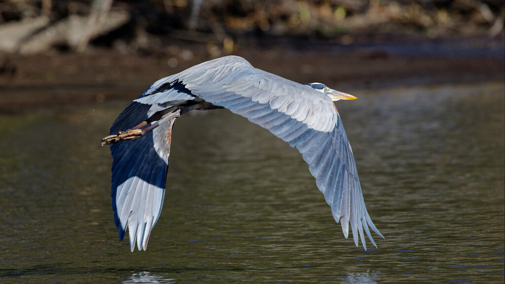
- Great Blue HeronArdea herodias
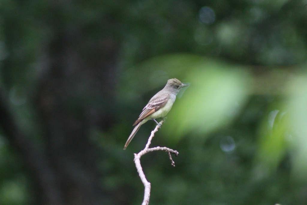
- Great Crested FlycatcherMyiarchus crinitus
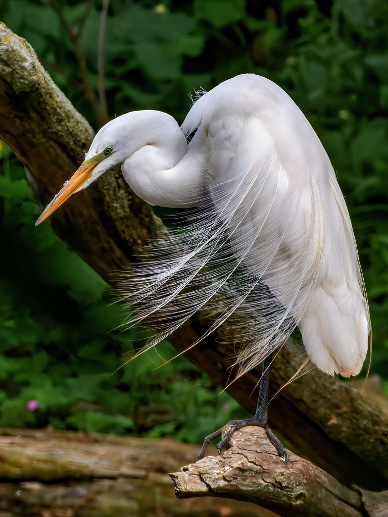
- Great EgretArdea alba
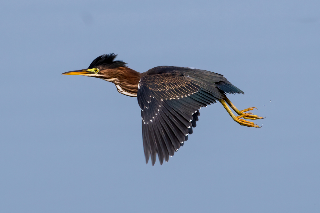
- Green HeronButorides virescens
- Harris's SparrowZonotrichia querula
- Lark SparrowChondestes grammacus
- Least FlycatcherEmpidonax minimus
- Lincoln's SparrowMelospiza lincolnii
- Northern BobwhiteColinus virginianus
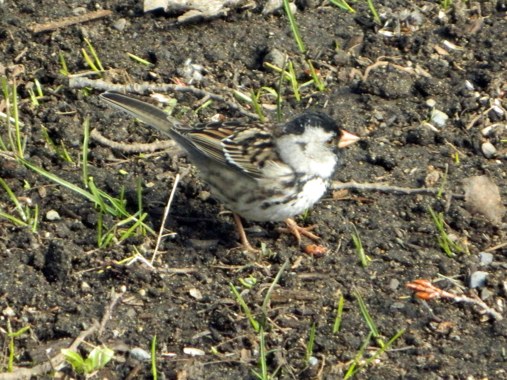
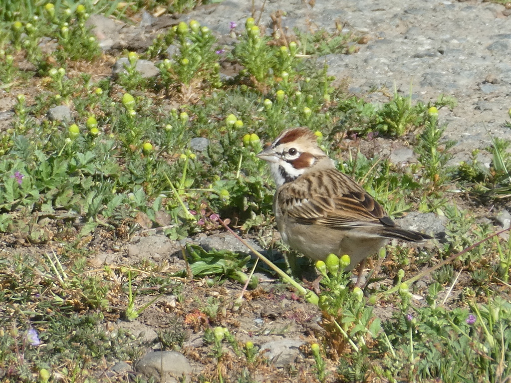
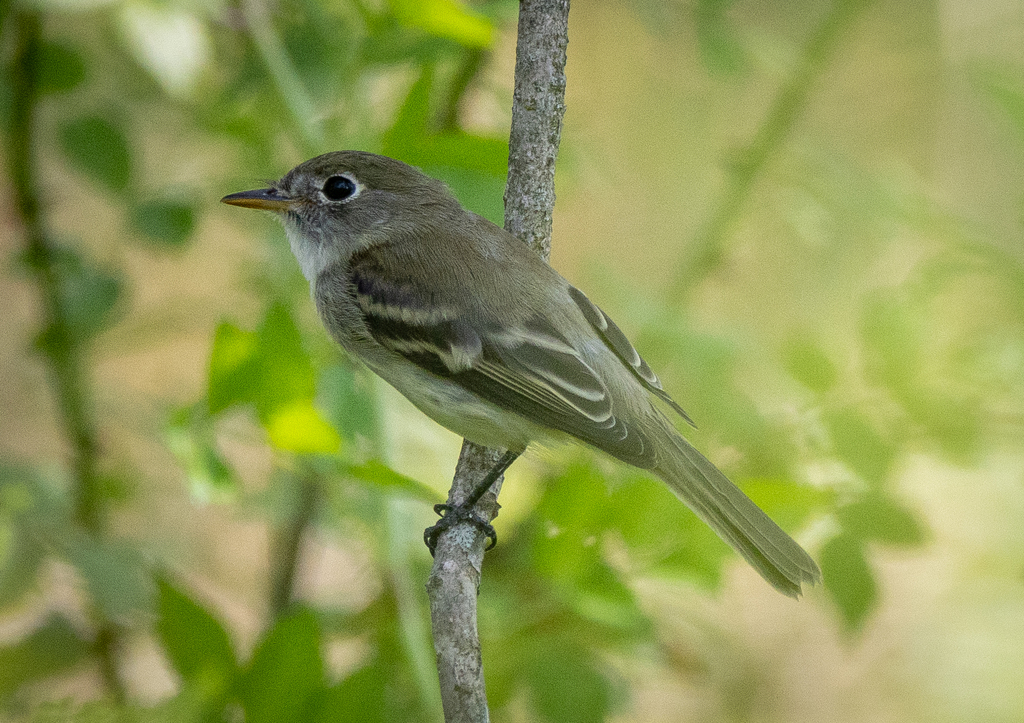
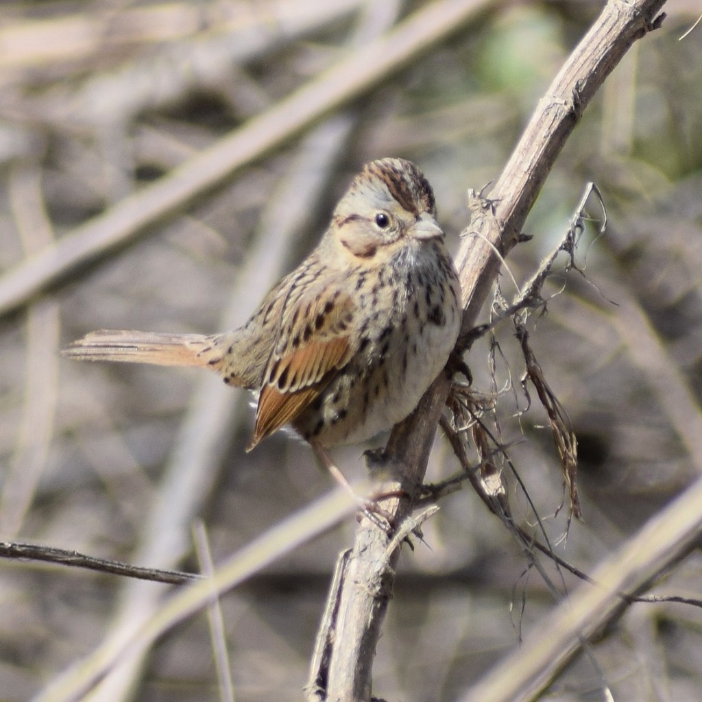
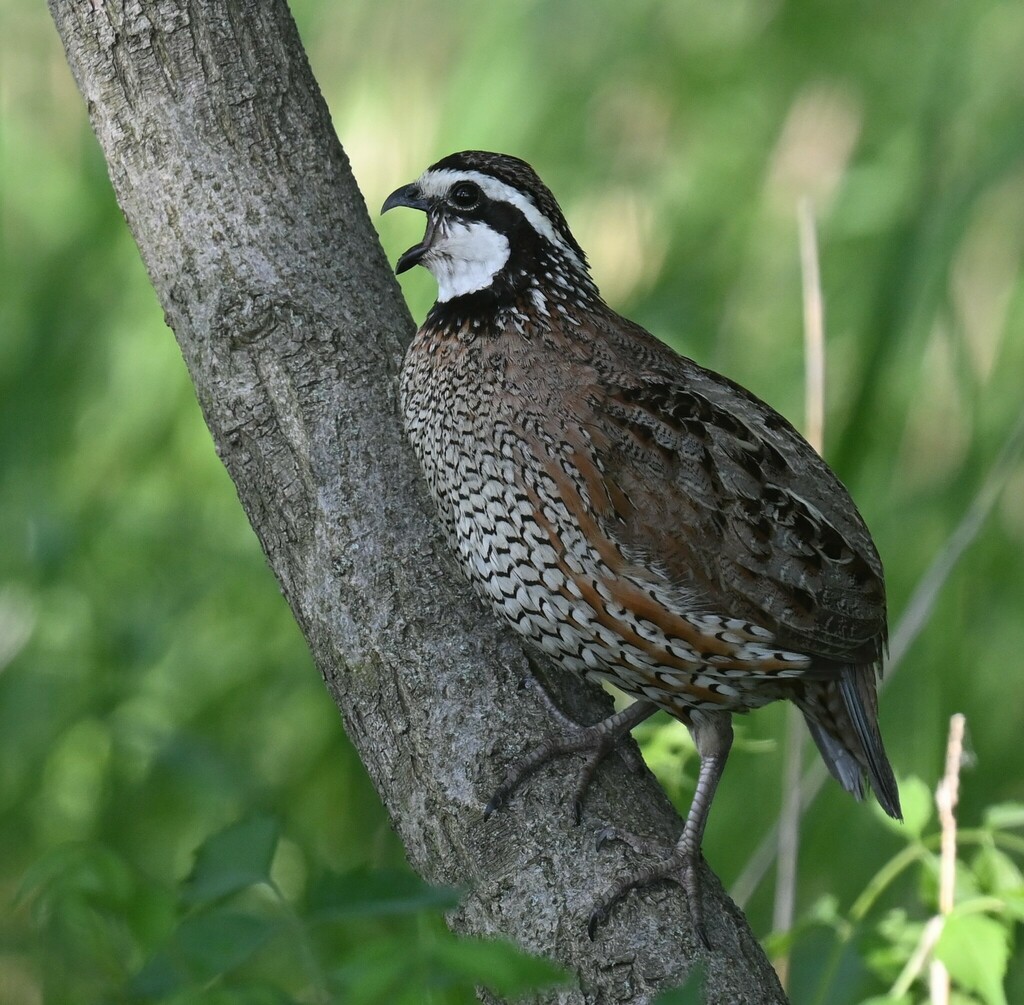
NatureServe Explorer, CC BY 4.0. USGS Gap Analysis Project habitat models.
Sources
- USGS Gap Analysis Project habitat models (2001)
- USGS GAP summer habitat model for Cliff Swallow Fresh water only
- USGS Gap Analysis Project range maps (2001), modeled by watershed; migratory gives no dates
- NatureServe Explorer (CC BY 4.0), habitat names
- US Census TIGER/Line counties
- Names follow the USGS Gap Analysis Project (2001)