

Bird
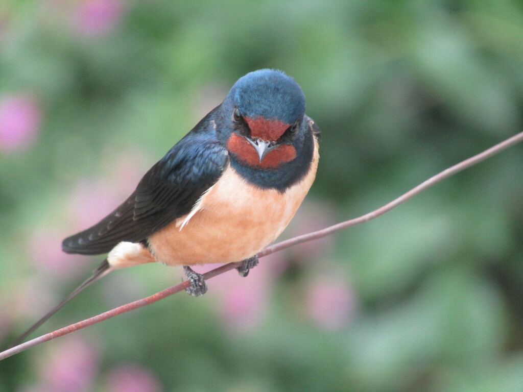
Barn Swallow
Hirundo rustica
A summer resident that nests in Alabama. Found in all 67 counties, across 7 habitats.
- Here
- Summer
- Nesting
- Nests here
- Range
- All 67 counties
- Habitats
- 7
At a glance
- Group
- Birds
- Here
- Summer
- Nesting
- Nests here
- Range
- All 67 counties
- Habitats
- 7
- Habitat models
- Summer
Where it lives
The places its habitat model includes. It is not found everywhere a habitat occurs.
Habitats in Alabama 7
Each habitat page lists the plants and wildlife also found there.
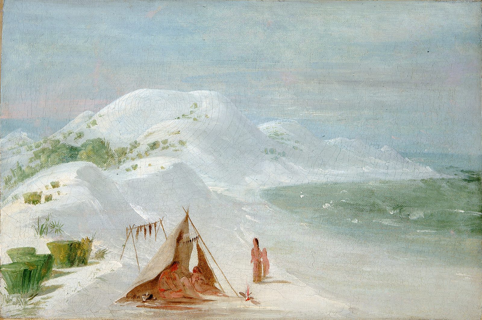
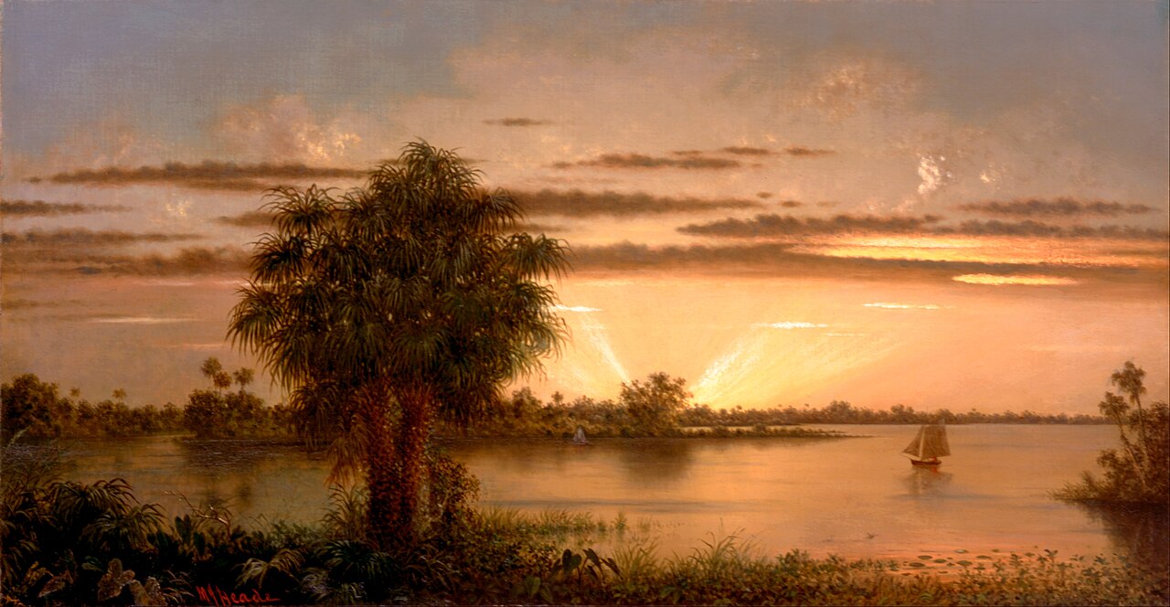
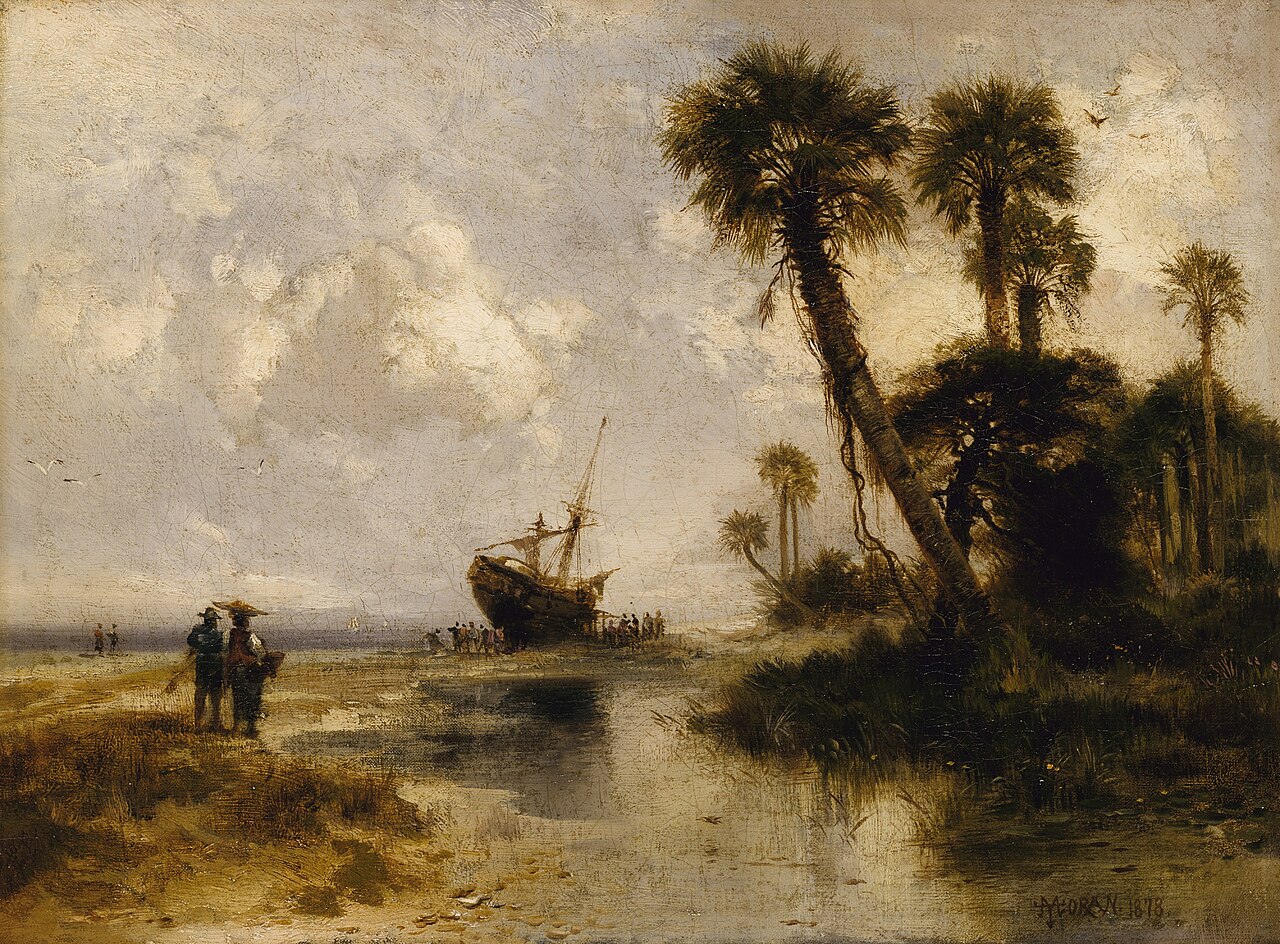
Disturbed and introduced wetlands
Wet ground taken over by weedy or introduced plants after disturbance, such as common reed, Chinese tallow or tamarisk stands; the upland counterpart is roadsides, fields and disturbed ground.
Coastal marshes flooded by salty or brackish tides.
Borders of forests, clearings and shrubby thickets.
Roadsides, fields and disturbed ground
Ground opened by people: roadsides, old fields, pastures, fencerows and lots.
Other habitats in its models (26)
Land cover, or classes with no habitat page in Alabama. Those recorded in Alabama first, the rest by region.
Elsewhere in the South (7)
- Atlantic Coastal Plain Central Salt and Brackish Tidal Marsh Summer.
- Atlantic Coastal Plain Embayed Region Tidal Salt and Brackish Marsh Summer.
- Atlantic Coastal Plain Indian River Lagoon Tidal Marsh Summer.
- Atlantic Coastal Plain Southern Dune and Maritime Grassland Summer.
- Florida Big Bend Salt-Brackish Tidal Marsh Summer.
- South Florida Everglades Sawgrass Marsh Summer.
- Southwest Florida Dune and Coastal Grassland Summer.
Northeast (1)
- Atlantic Coastal Plain Northern Tidal Salt Marsh Summer.
Land cover and other classes (18)
- Barren Land Summer, only within 500 m of water.
- Developed, High Intensity Summer, only within 500 m of water.
- Developed, Low Intensity Summer, only within 500 m of water.
- Developed, Medium Intensity Summer, only within 500 m of water.
- Harvested Forest - Grass/Forb Regeneration Summer, only within 500 m of water.
- Introduced Upland Vegetation - Annual Grassland Summer, only within 500 m of water.
- Introduced Upland Vegetation - Forbland Summer, only within 500 m of water.
- Introduced Upland Vegetation - Perennial Grassland Summer, only within 500 m of water.
- Introduced Upland Vegetation - Perennial Grassland and Forbland Summer, only within 500 m of water.
- Open Water (Aquaculture) Summer.
- Quarries, Mines, Gravel Pits and Oil Wells Summer, only within 500 m of water.
- Recently Burned Summer, only within 500 m of water.
- Recently Burned Forest Summer, only within 500 m of water.
- Recently Burned Grassland Summer, only within 500 m of water.
- Recently Burned Shrubland Summer, only within 500 m of water.
- Recently Logged Areas Summer, only within 500 m of water.
- Unconsolidated Shore Summer.
- Unconsolidated Shore (Lake/River/Pond) Summer.
Seasons in Alabama
- Summer: nests here, in all 67 counties.
Also found in its main habitats
Its main habitats in Alabama, by how much of its habitat model each one is, with the birds most characteristic of each and the plants that grow wild there. Shared habitat, not food.
Roadsides, fields and disturbed ground
Birds 114
- Cape May WarblerDendroica tigrina
- Grasshopper SparrowAmmodramus savannarum
- House SparrowPasser domesticus
- Upland SandpiperBartramia longicauda
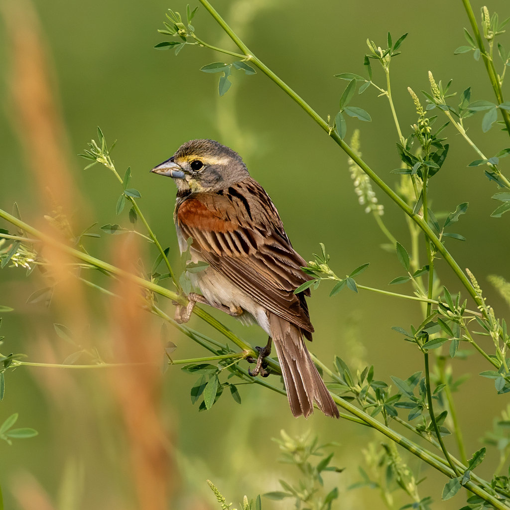
- DickcisselSpiza americana
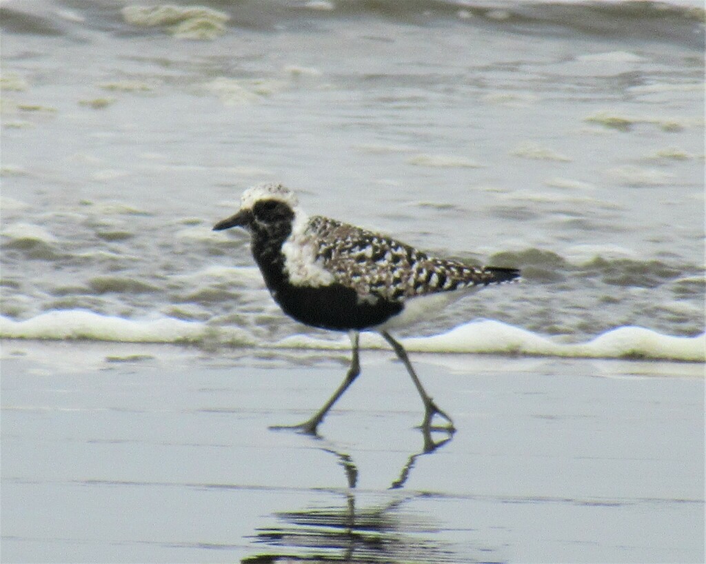
- Black-bellied PloverPluvialis squatarola
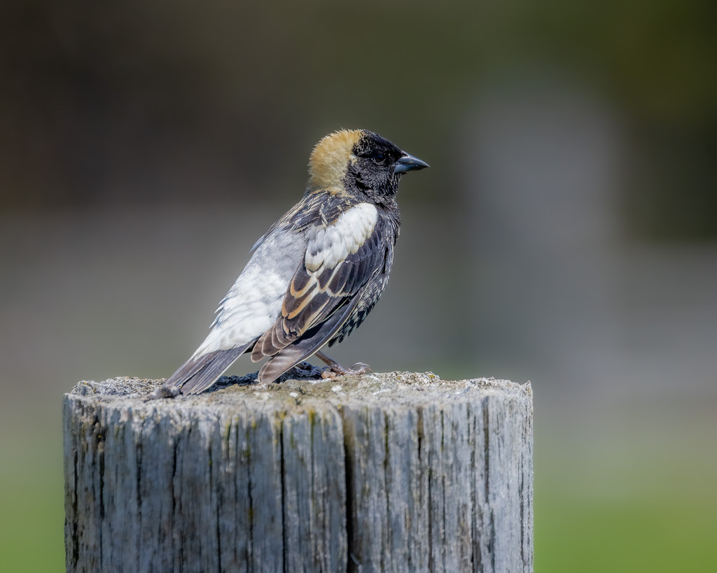
- BobolinkDolichonyx oryzivorus
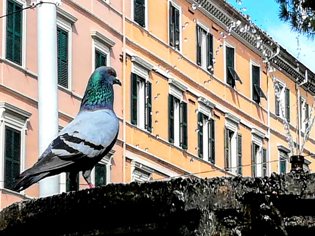
- Rock PigeonColumba livia
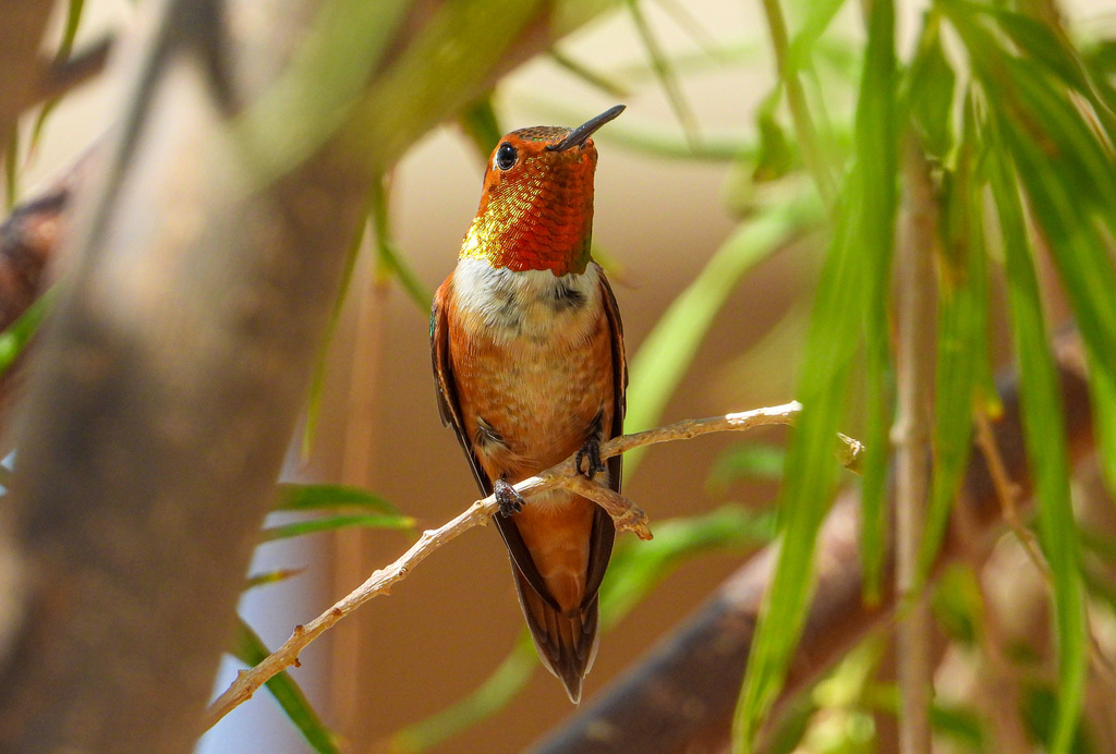
- Rufous HummingbirdSelasphorus rufus
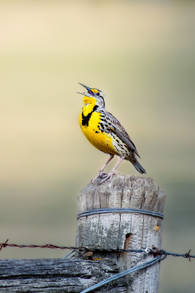
- Western MeadowlarkSturnella neglecta
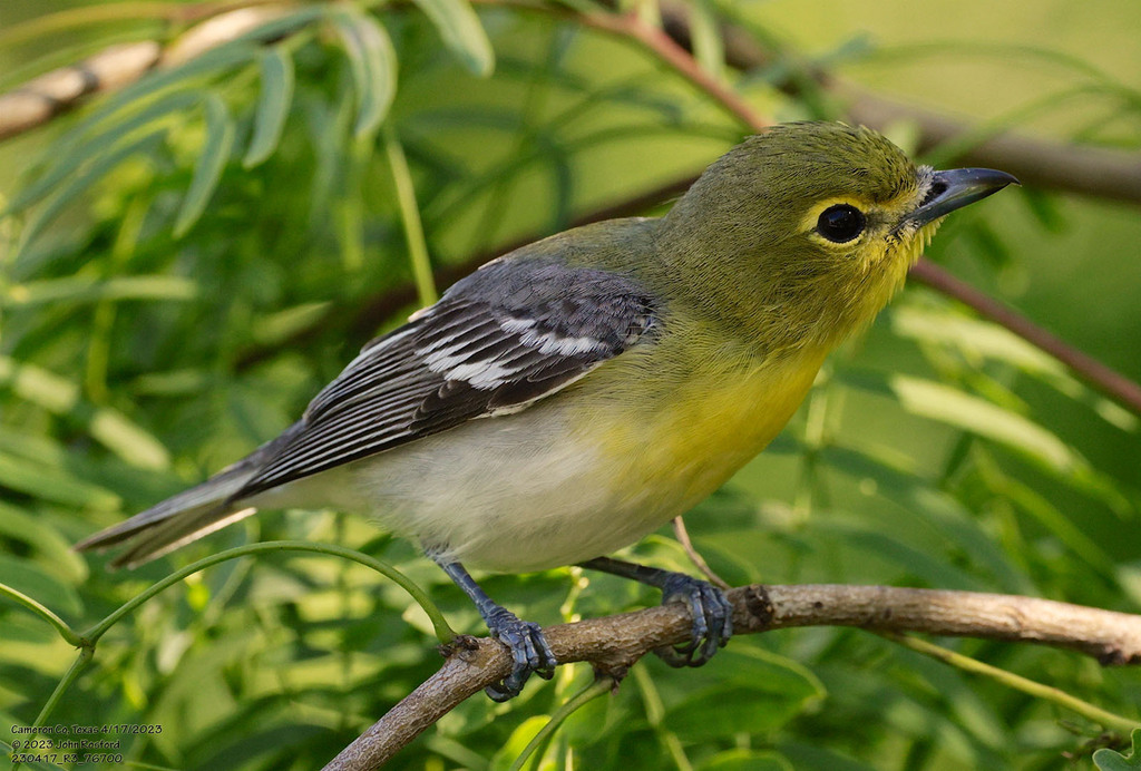
- Yellow-throated VireoVireo flavifrons
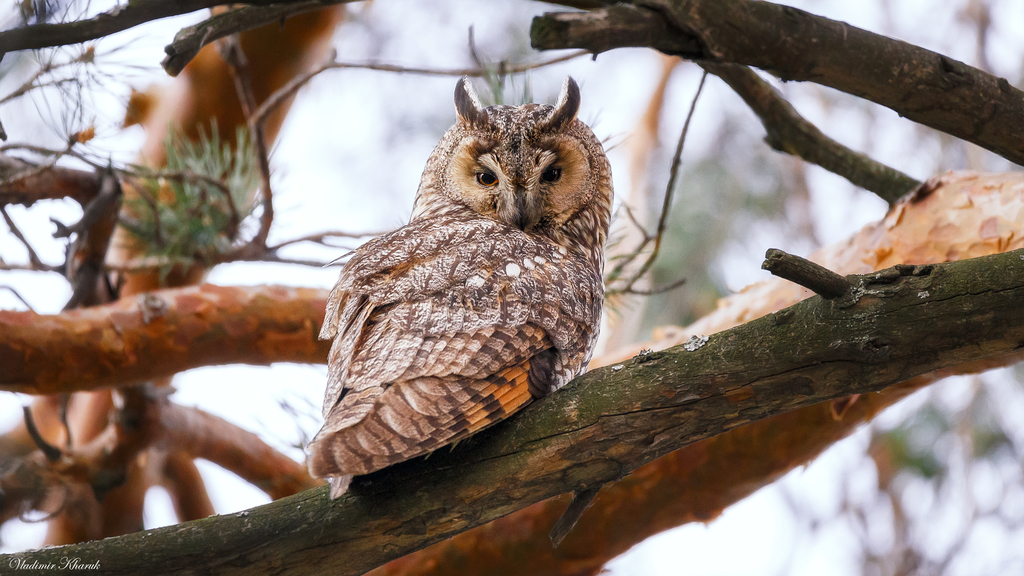
- Long-eared OwlAsio otus
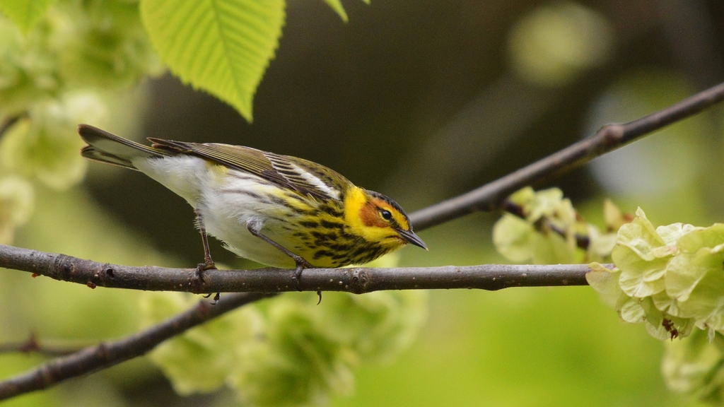
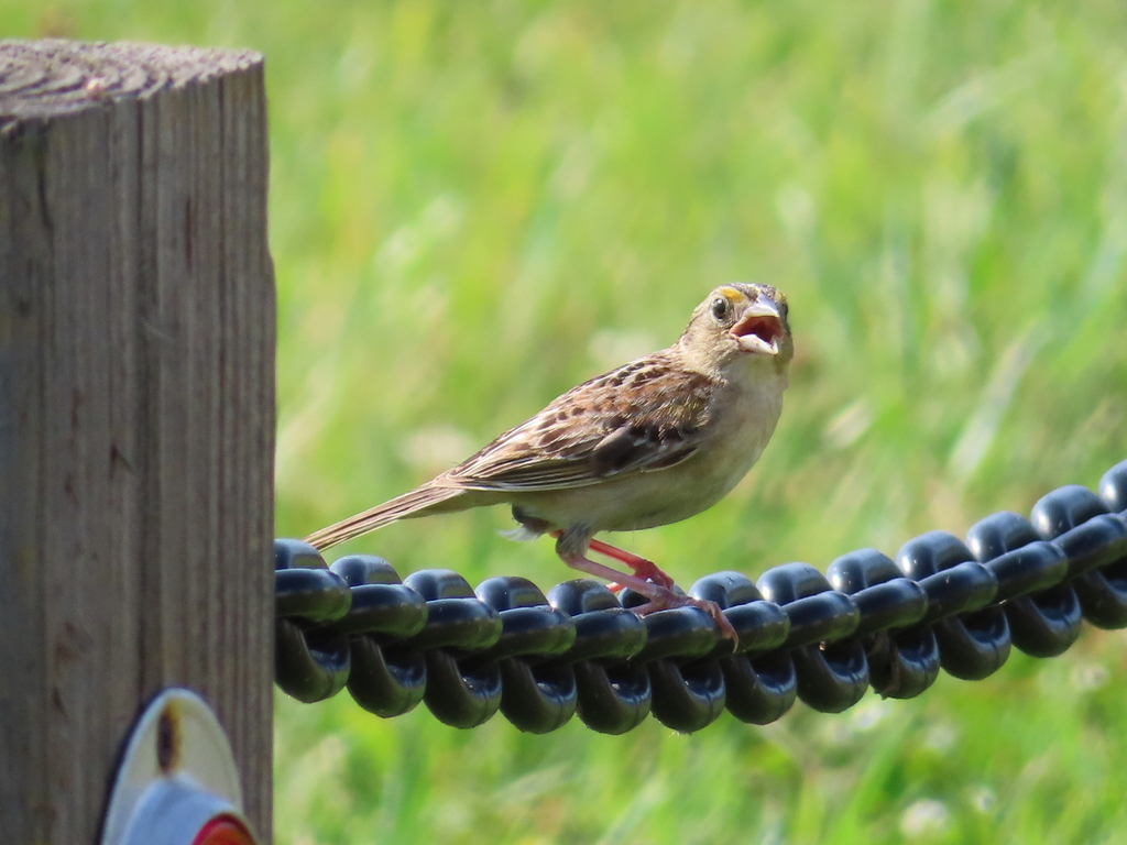
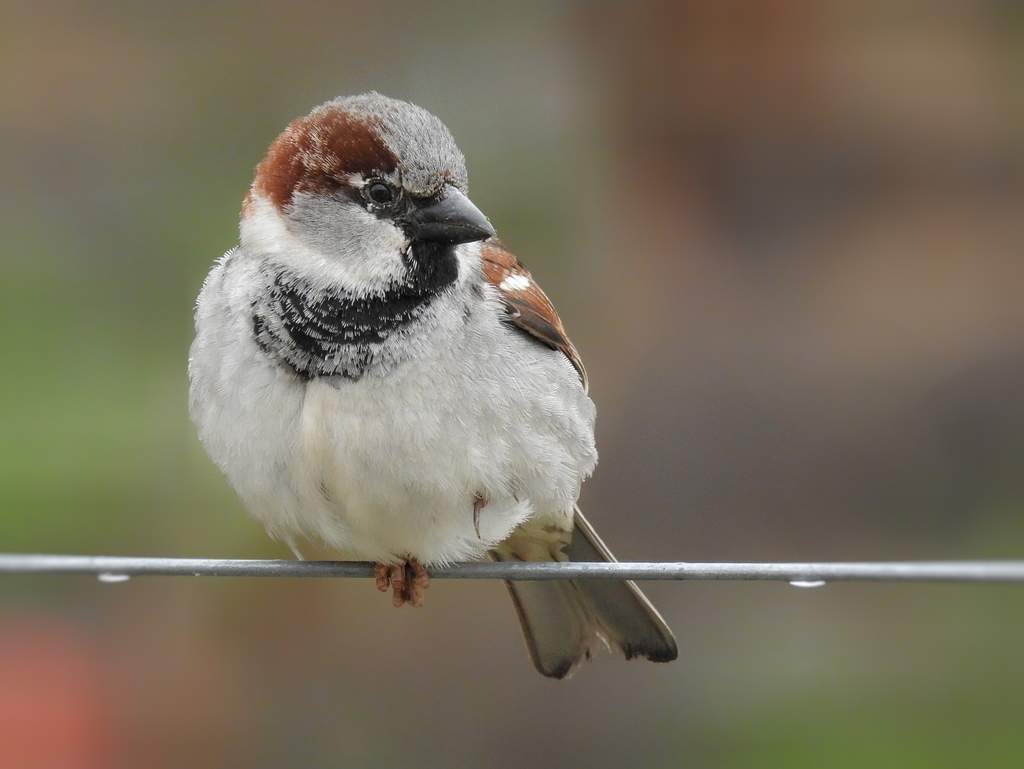
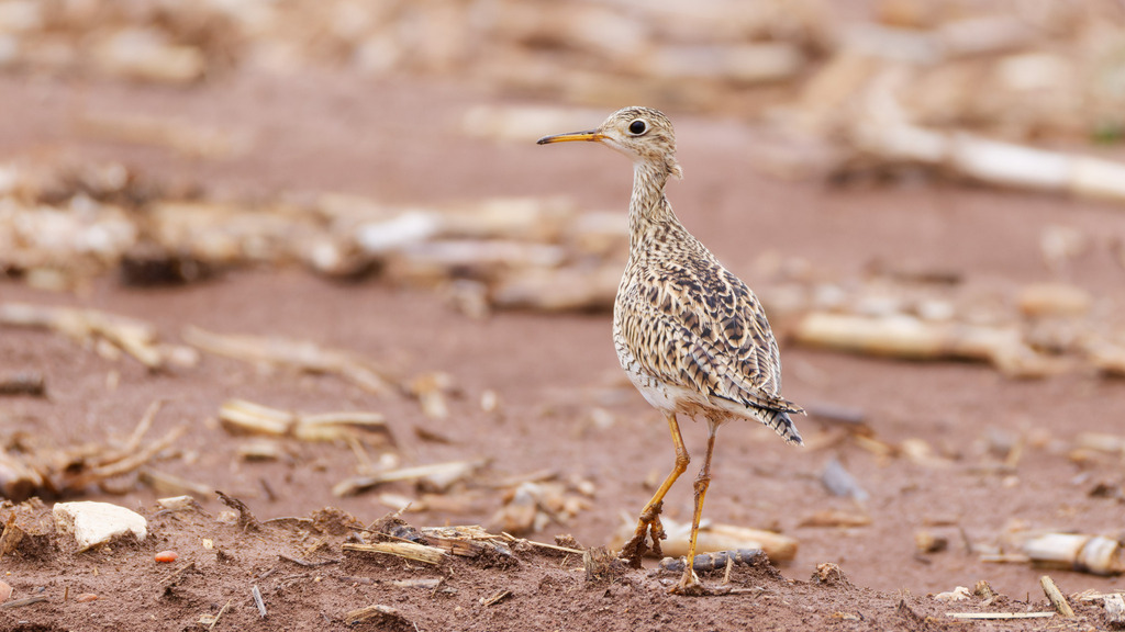
Plants 1485
- Muck SunflowerHelianthus simulans
- Dwarf HorseweedErigeron divaricatus
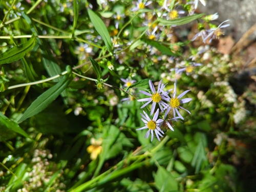
- Crooked-stem AsterSymphyotrichum prenanthoides
- Whitestar Morning-gloryIpomoea leucantha
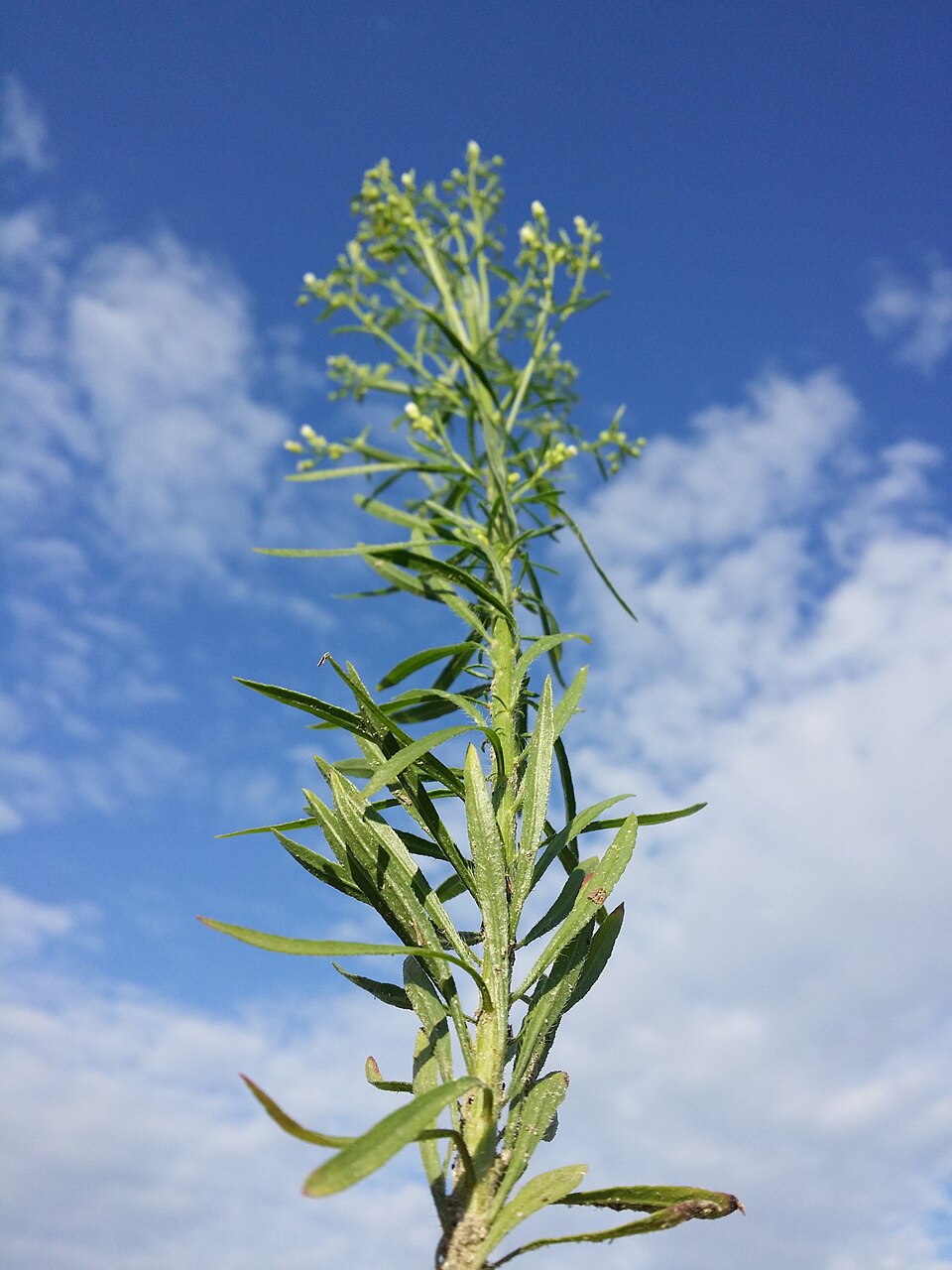
- Common HorseweedErigeron canadensis
- Annual FleabaneErigeron annuus
- Canada LettuceLactuca canadensis
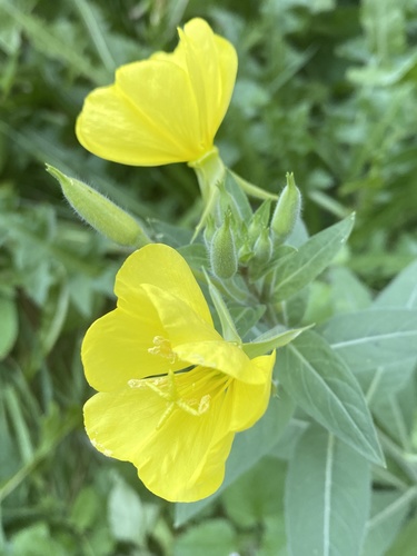
- Common Evening-primroseOenothera biennis
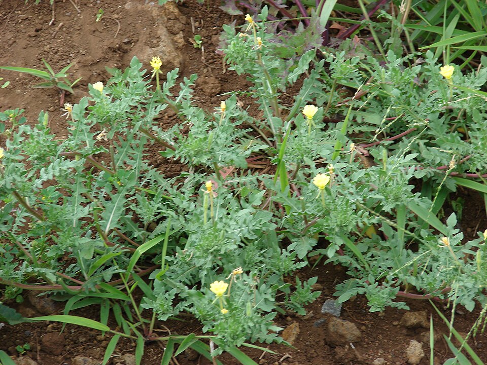
- Cutleaf Evening-primroseOenothera laciniata
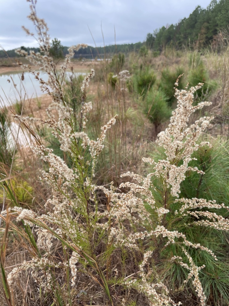
- Dog-fennelEupatorium capillifolium
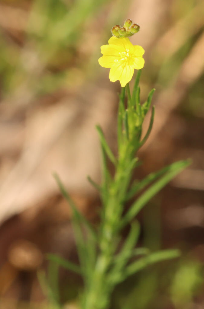
- Threadleaf SundropsOenothera linifolia
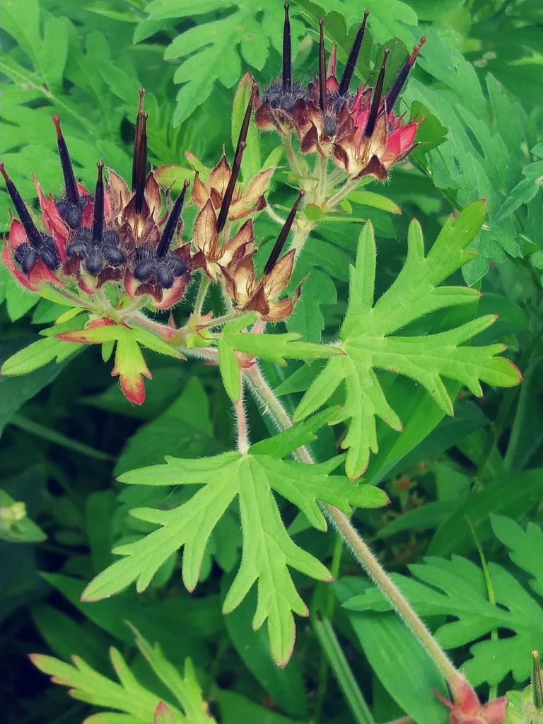
- Carolina Crane's-billGeranium carolinianum
Coastal dunes and beaches
Birds 118
- Black-bellied PloverPluvialis squatarola
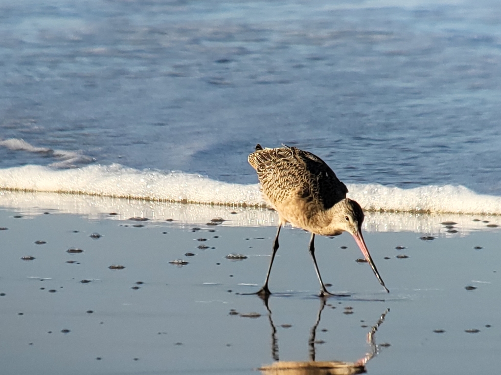
- Marbled GodwitLimosa fedoa
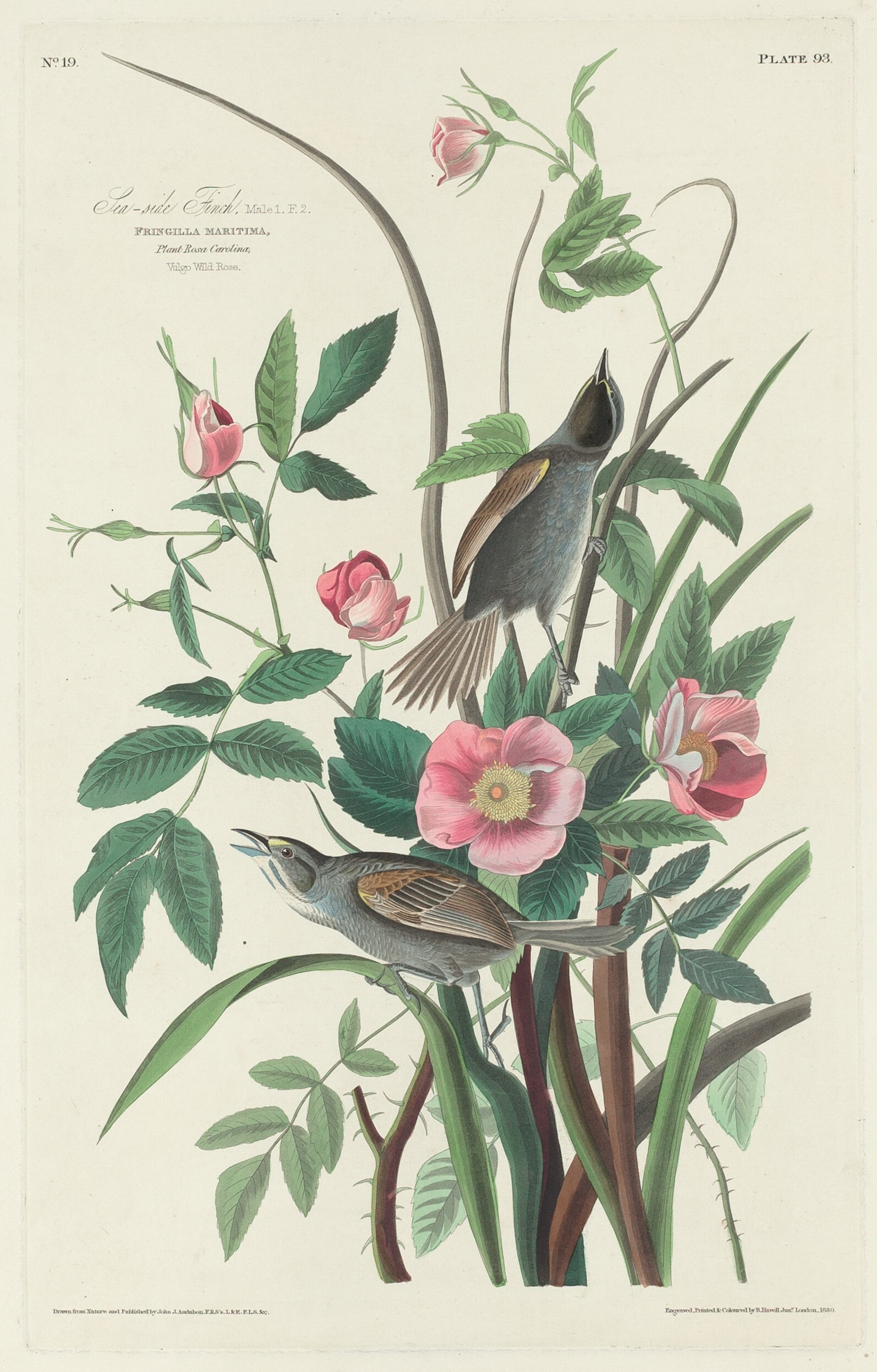
- Seaside SparrowAmmodramus maritimus
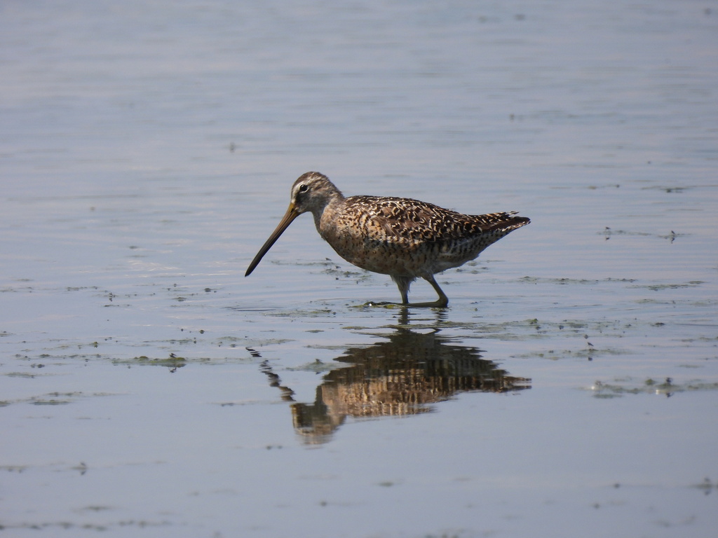
- Short-billed DowitcherLimnodromus griseus
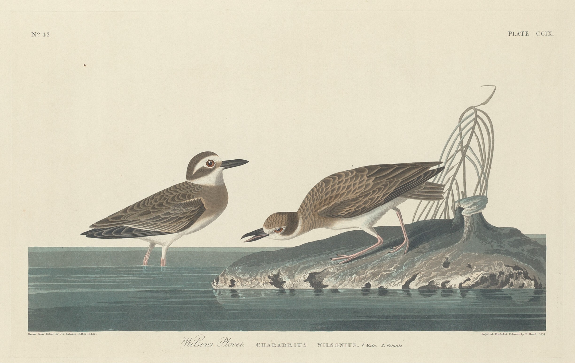
- Wilson's PloverCharadrius wilsonia
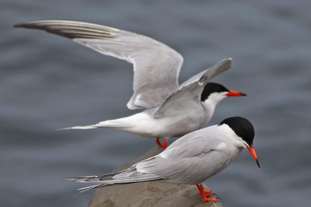
- Common TernSterna hirundo
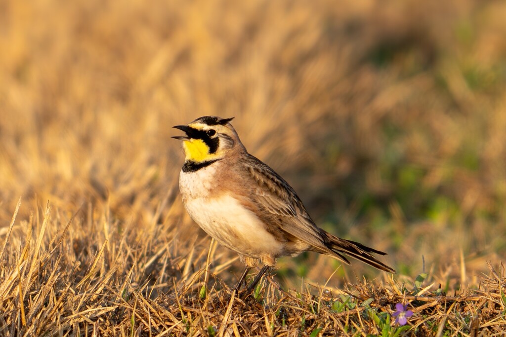
- Horned LarkEremophila alpestris
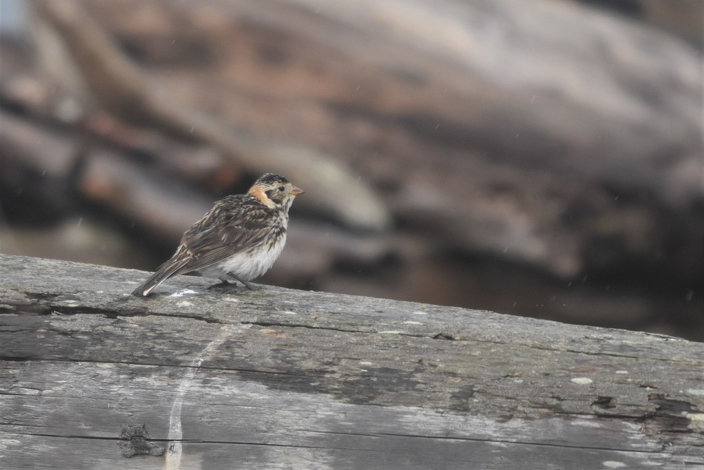
- Lapland LongspurCalcarius lapponicus
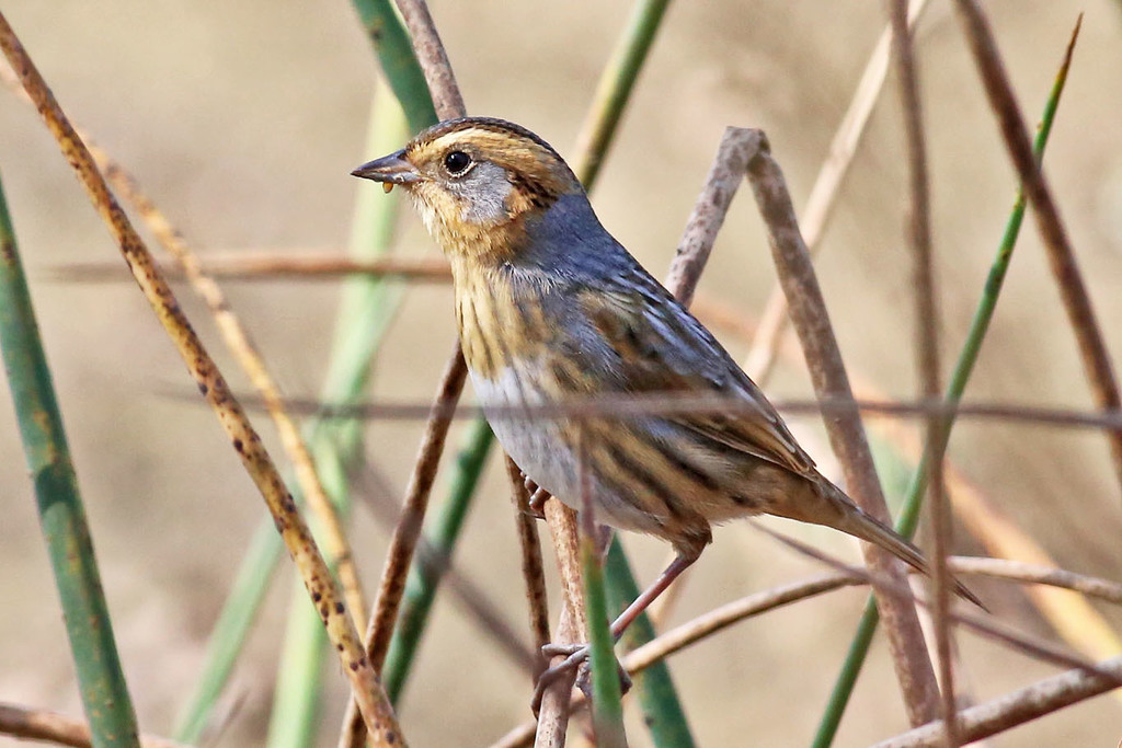
- Nelson's Sharp-tailed SparrowAmmodramus nelsoni
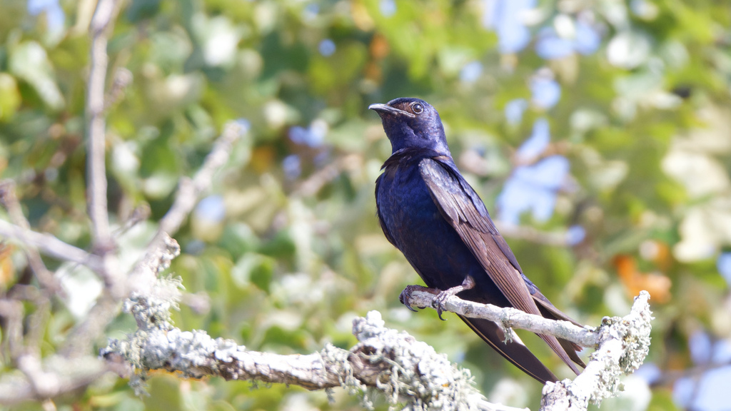
- Purple MartinProgne subis
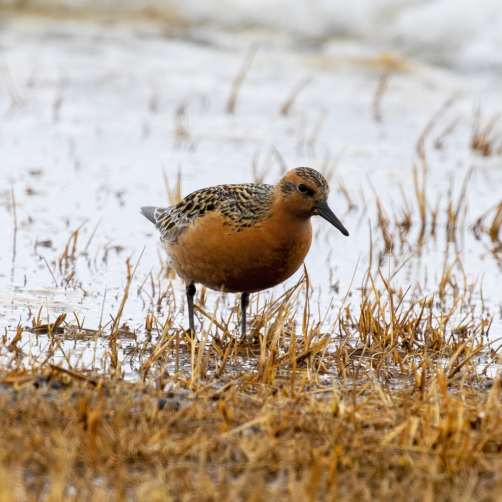
- Red KnotCalidris canutus
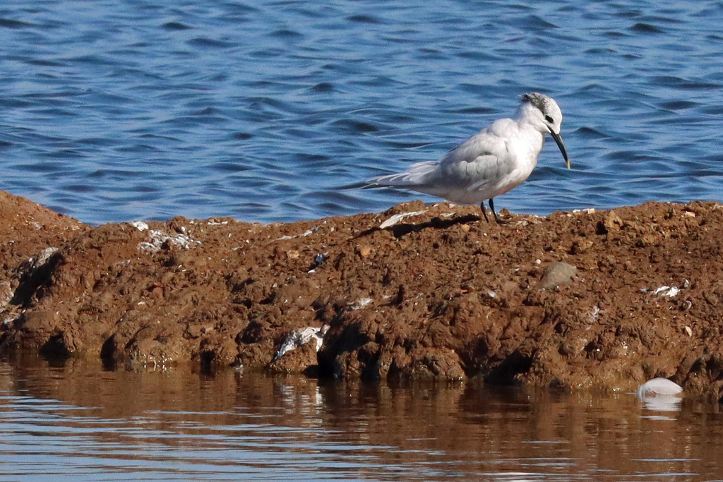
- Sandwich TernThalasseus sandvicensis
Plants 134
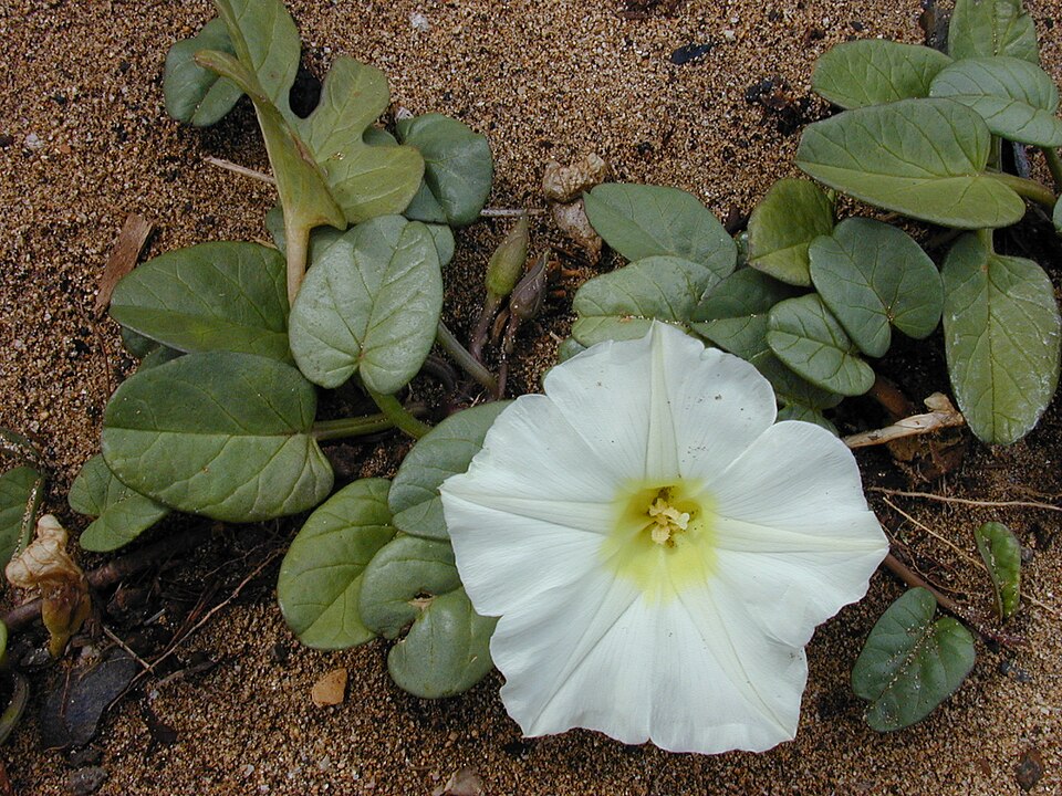
- Beach Morning-gloryIpomoea imperati
- Railroad VineIpomoea brasiliensis
- Cruise's GoldenasterChrysopsis cruiseana
- Godfrey's Golden AsterChrysopsis godfreyi
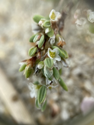
- Seabeach KnotweedPolygonum glaucum
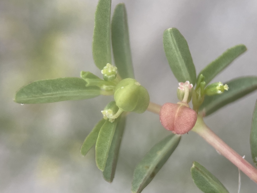
- Southern Seaside SpurgeEuphorbia bombensis
- Agalinis harperiAgalinis harperi
- Panicum amarum var. amarumPanicum amarum var. amarum
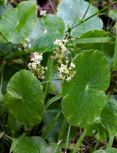
- Largeleaf PennywortHydrocotyle bonariensis
- Dune Marsh-elderIva imbricata
- Pinewoods FingergrassEustachys petraea
- Gulf Coast Sea RocketCakile constricta
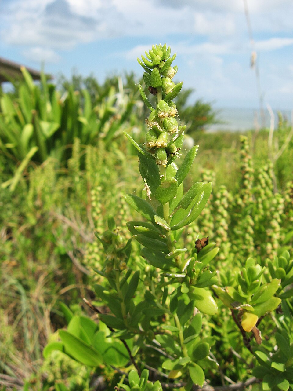
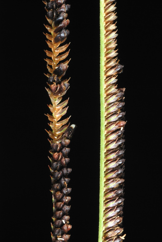
Disturbed and introduced wetlands
Birds 144
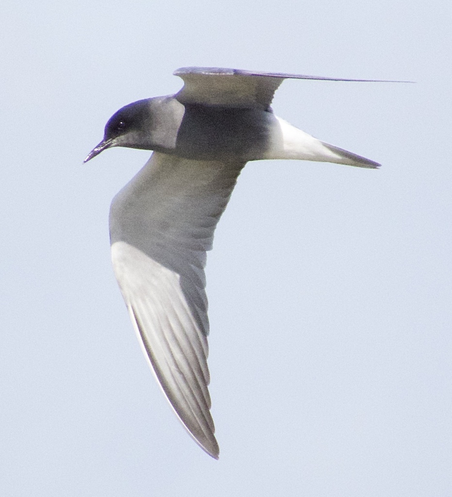
- Black TernChlidonias niger
- DickcisselSpiza americana
- Black-bellied PloverPluvialis squatarola
- BobolinkDolichonyx oryzivorus
- Rufous HummingbirdSelasphorus rufus
- Yellow-throated VireoVireo flavifrons
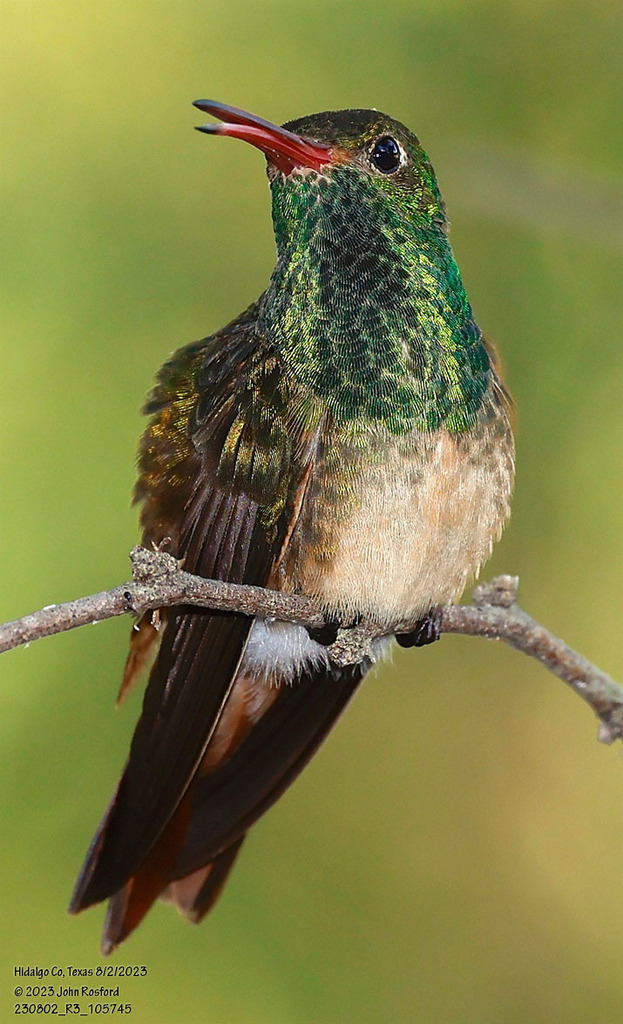
- Buff-bellied HummingbirdAmazilia yucatanensis
- Lapland LongspurCalcarius lapponicus
- Nelson's Sharp-tailed SparrowAmmodramus nelsoni
- Sandwich TernThalasseus sandvicensis
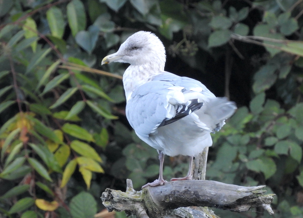
- Thayer's GullLarus thayeri
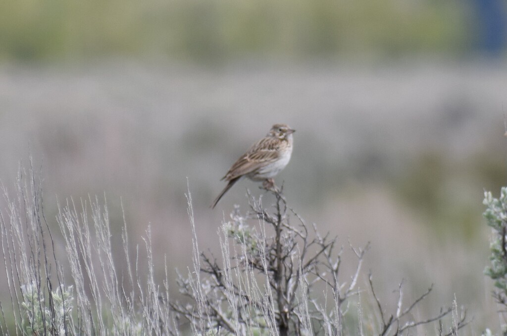
- Vesper SparrowPooecetes gramineus
Plants 38
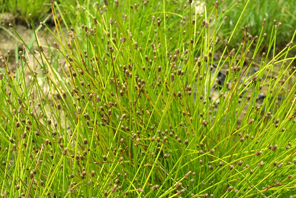
- Slender FimbryFimbristylis autumnalis
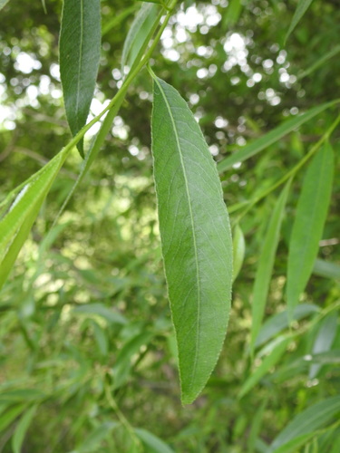
- White WillowSalix alba
- Purple SpikerushEleocharis atropurpurea
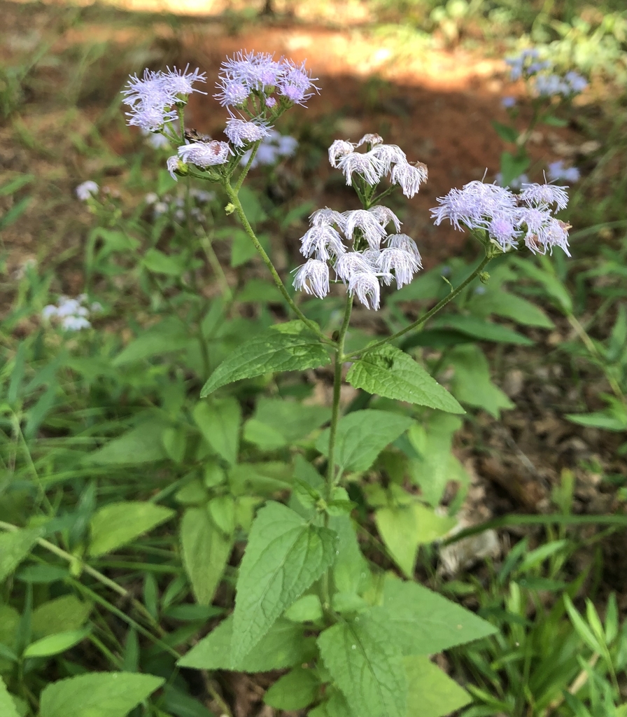
- Blue MistflowerConoclinium coelestinum
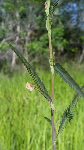
- BagpodSesbania vesicaria
- Cyperus ochraceusCyperus ochraceus
- Tropical FlatsedgeCyperus surinamensis
- Blunt Spike RushEleocharis obtusa
- Indian JointvetchAeschynomene indica
- Reimar GrassPaspalum eglume
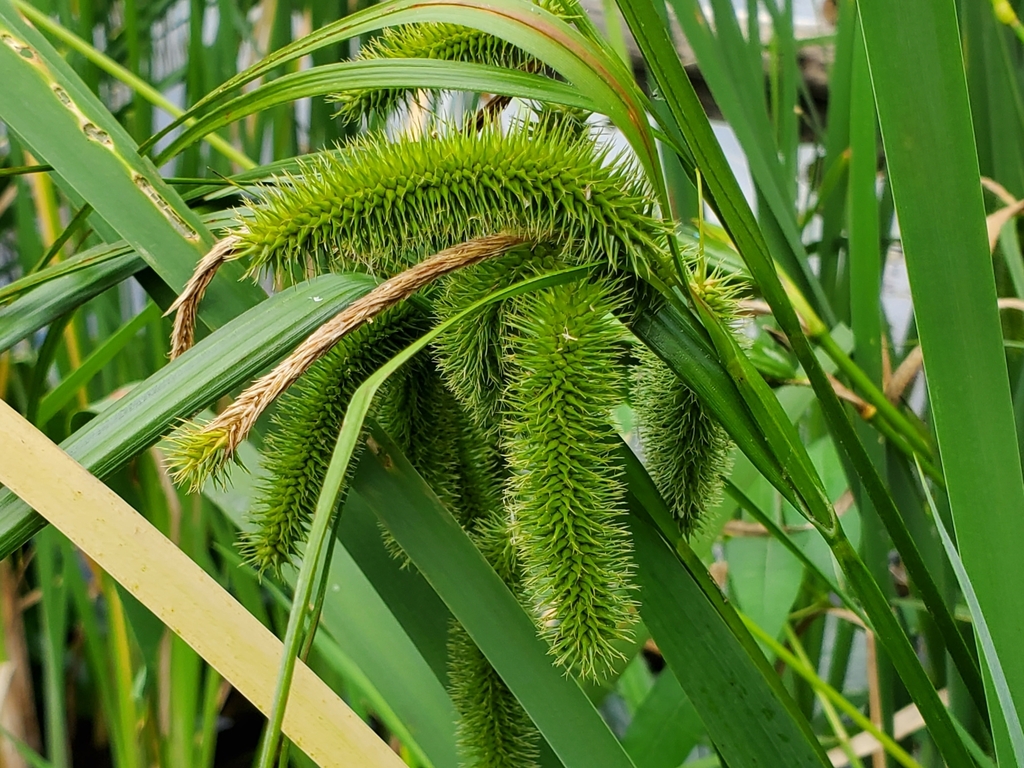
- Bristly SedgeCarex comosa
- ChaffweedCentunculus minimus


Sources
- USGS Gap Analysis Project habitat models (2001)
- USGS GAP summer habitat model for Barn Swallow
- USGS Gap Analysis Project range maps (2001), modeled by watershed; migratory gives no dates
- NatureServe Explorer (CC BY 4.0), habitat names
- US Census TIGER/Line counties
- Names follow the USGS Gap Analysis Project (2001)