

Bird
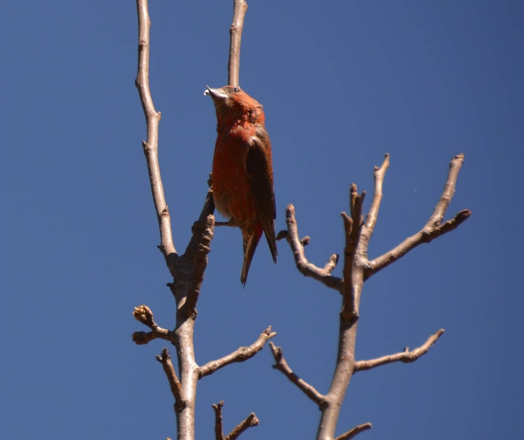
Red Crossbill
Loxia curvirostra
Lives in West Virginia all year and nests here. Found in all 55 counties, across 4 habitats.
- Here
- All year
- Nesting
- Nests here
- Range
- All 55 counties
- Habitats
- 4
At a glance
- Group
- Birds
- Here
- All year
- Nesting
- Nests here
- Range
- All 55 counties
- Habitats
- 4
- Habitat models
- Summer, Winter
Where it lives
The places its habitat model includes. It is not found everywhere a habitat occurs.
Habitats in West Virginia 4
Each habitat page lists the plants and wildlife also found there.
Forests and open woodlands on dry ridges and slopes, often oak or pine.
Roadsides, fields and disturbed ground
Ground opened by people: roadsides, old fields, pastures, fencerows and lots.
Cool, evergreen forests of red spruce and Fraser fir on the highest mountains.
Tree plantations and managed pine
Planted or intensively managed stands of pine or hardwoods grown for timber; a land use rather than a natural community.
Other habitats in its models (9)
Land cover, or classes with no habitat page in West Virginia.
- Developed, Low Intensity Winter.
- Northeastern Interior Dry Oak Forest - Mixed Modifier Summer and winter.
- Northeastern Interior Dry Oak Forest - Virginia/Pitch Pine Modifier Summer and winter.
- East Gulf Coastal Plain Northern Dry Upland Hardwood Forest - Offsite Pine Modifier Summer and winter.
- Allegheny-Cumberland Dry Oak Forest and Woodland - Pine Modifier Summer and winter.
- Southern Ridge and Valley Dry Calcareous Forest - Pine modifier Summer and winter.
- Southern Piedmont Dry Oak-(Pine) Forest - Mixed Modifier Summer and winter.
- Southern Piedmont Dry Oak-Heath Forest - Mixed Modifier Summer and winter.
- Southern Appalachian Low Mountain Pine Forest Summer and winter.
Seasons in West Virginia
- Year-round: nests here, in 8 of 55 counties.
- Winter: does not nest here, in all 55 counties.
Also found in this habitat
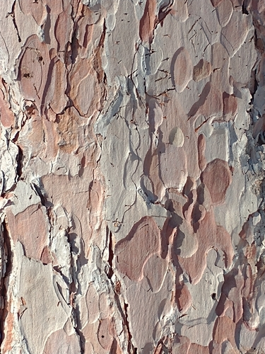
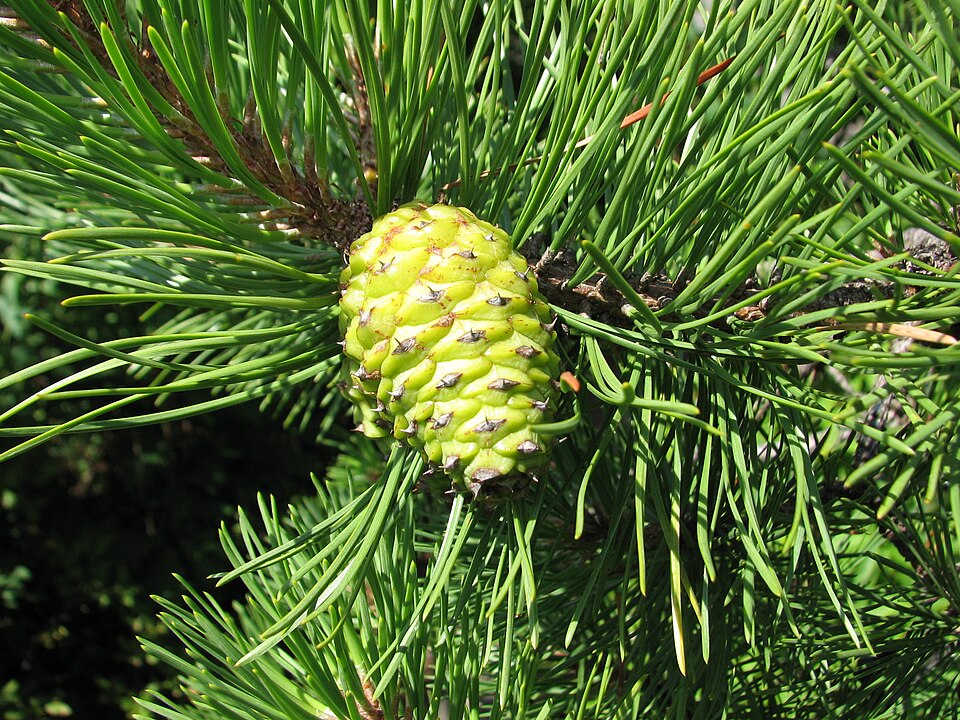
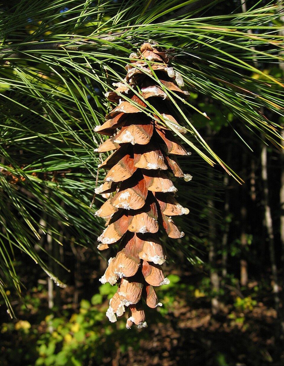
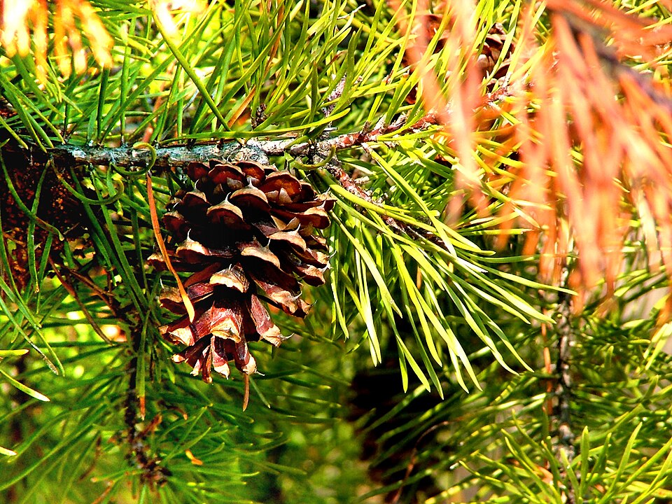
Plants 228
Plants named in NatureServe descriptions of these habitats that grow in West Virginia. Shared habitat, not food.
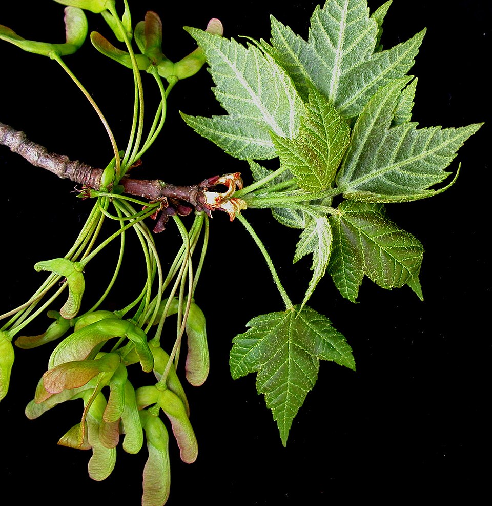
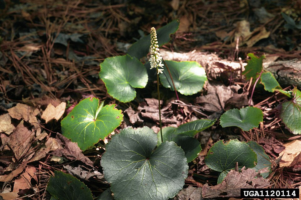
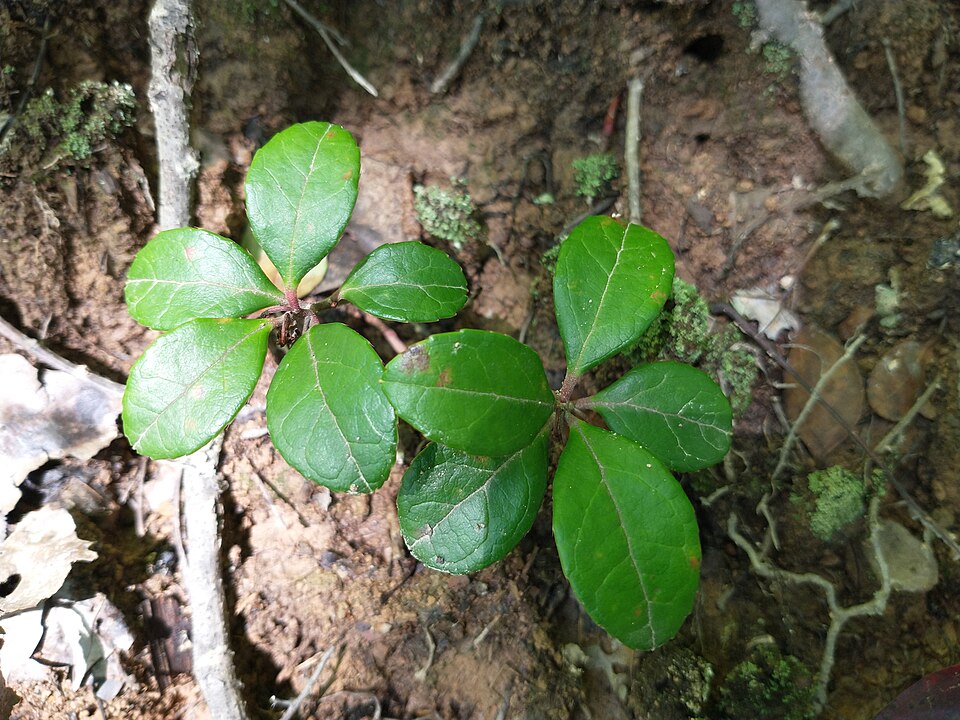
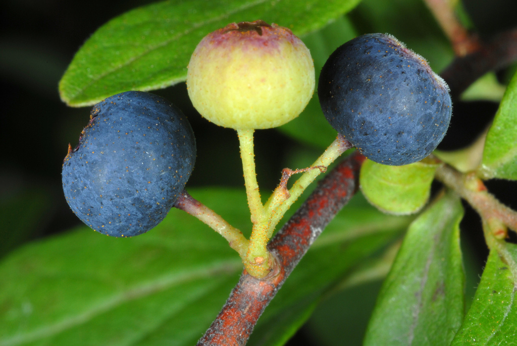
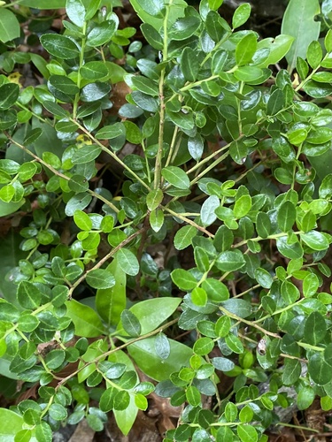
- Red MapleAcer rubrum
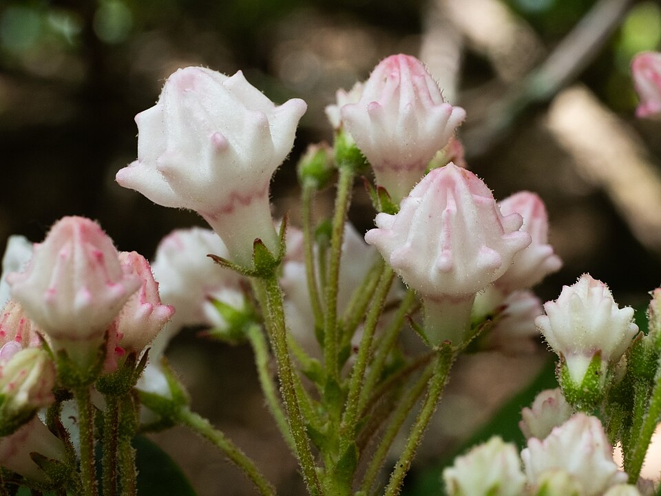
- Mountain LaurelKalmia latifolia
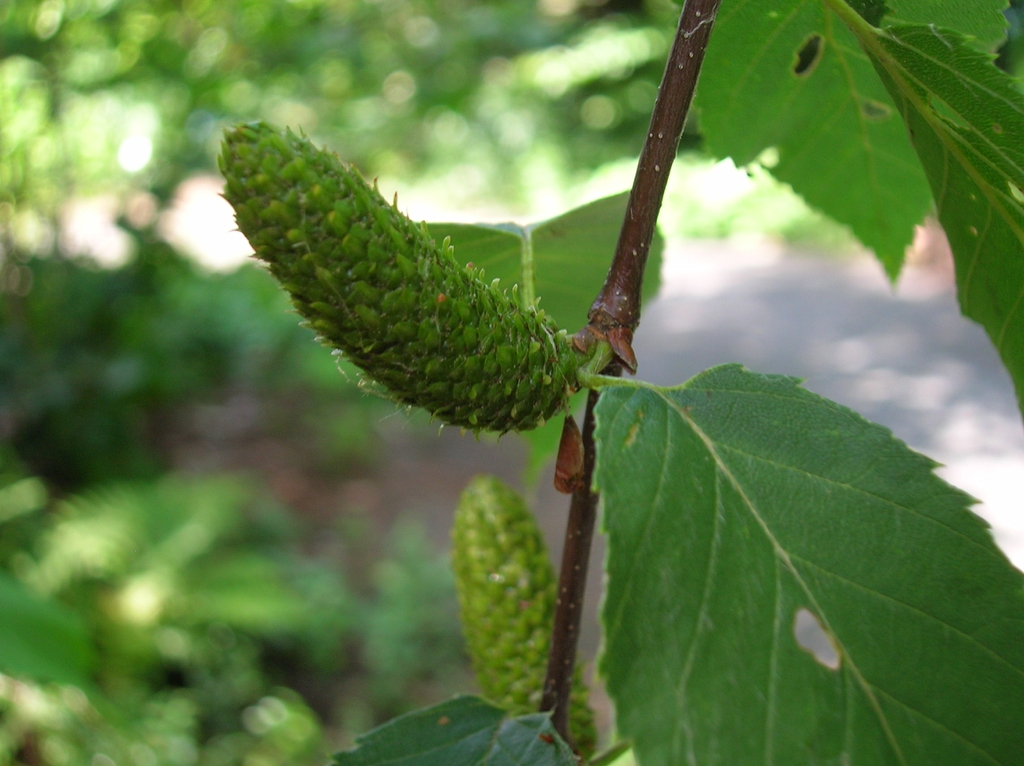
- Sweet BirchBetula lenta
- Variable SedgeCarex polymorpha
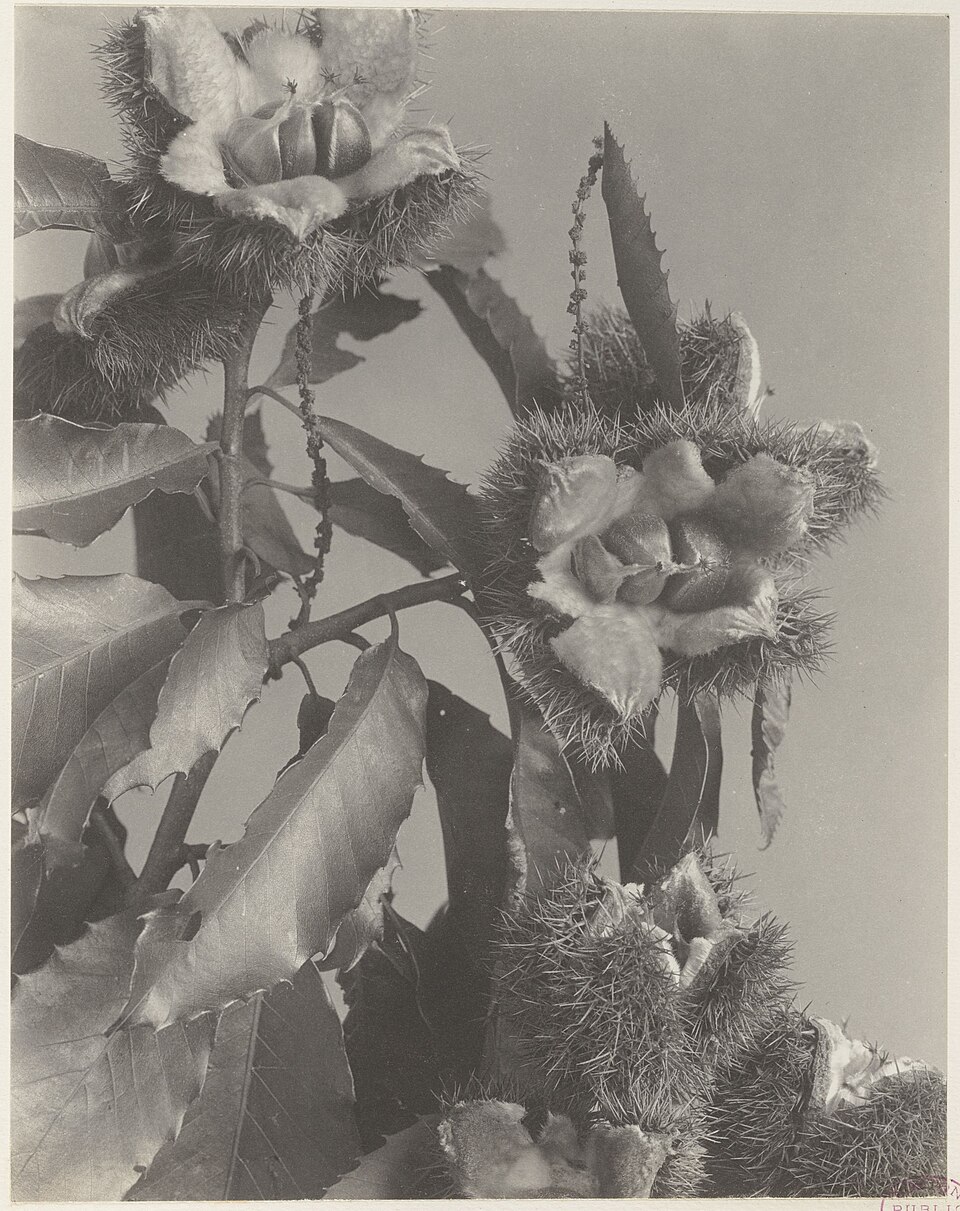
- American ChestnutCastanea dentata
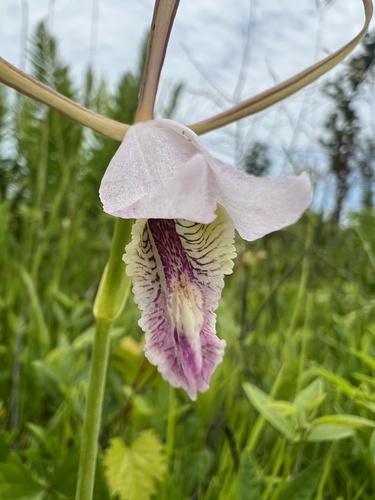
- Appalachian Small Spreading PogoniaCleistesiopsis bifaria
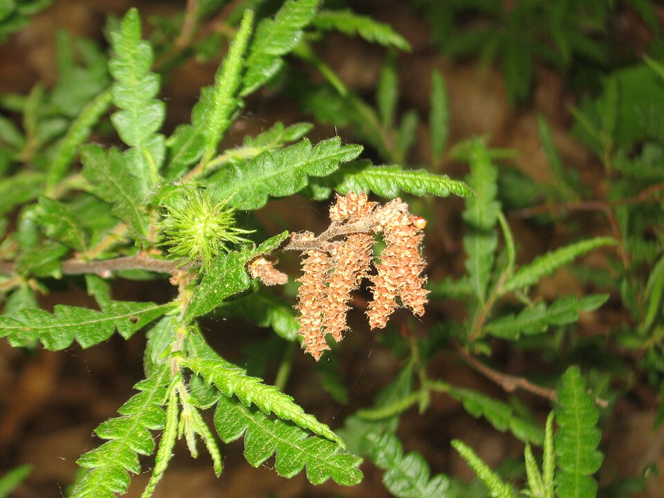
- Sweet-fernComptonia peregrina
- Poverty OatgrassDanthonia spicata
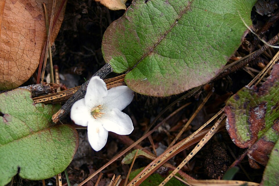
- Trailing ArbutusEpigaea repens
- GalaxGalax urceolata
- Eastern TeaberryGaultheria procumbens
- Black HuckleberryGaylussacia baccata
- Box HuckleberryGaylussacia brachycera
- BlackgumNyssa sylvatica
- SourwoodOxydendrum arboreum
- Shortleaf PinePinus echinata
- Table Mountain PinePinus pungens
- Red PinePinus resinosa
- Pitch PinePinus rigida
- Eastern White PinePinus strobus
- Virginia PinePinus virginiana
- Pteridium aquilinumPteridium aquilinum
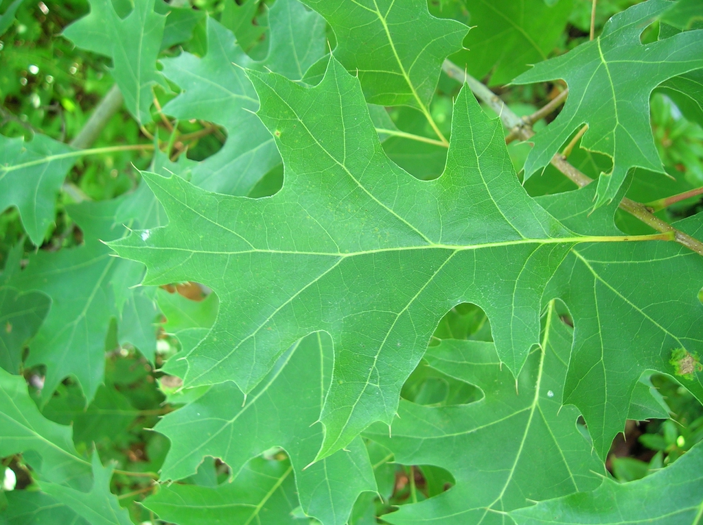
- Scarlet OakQuercus coccinea
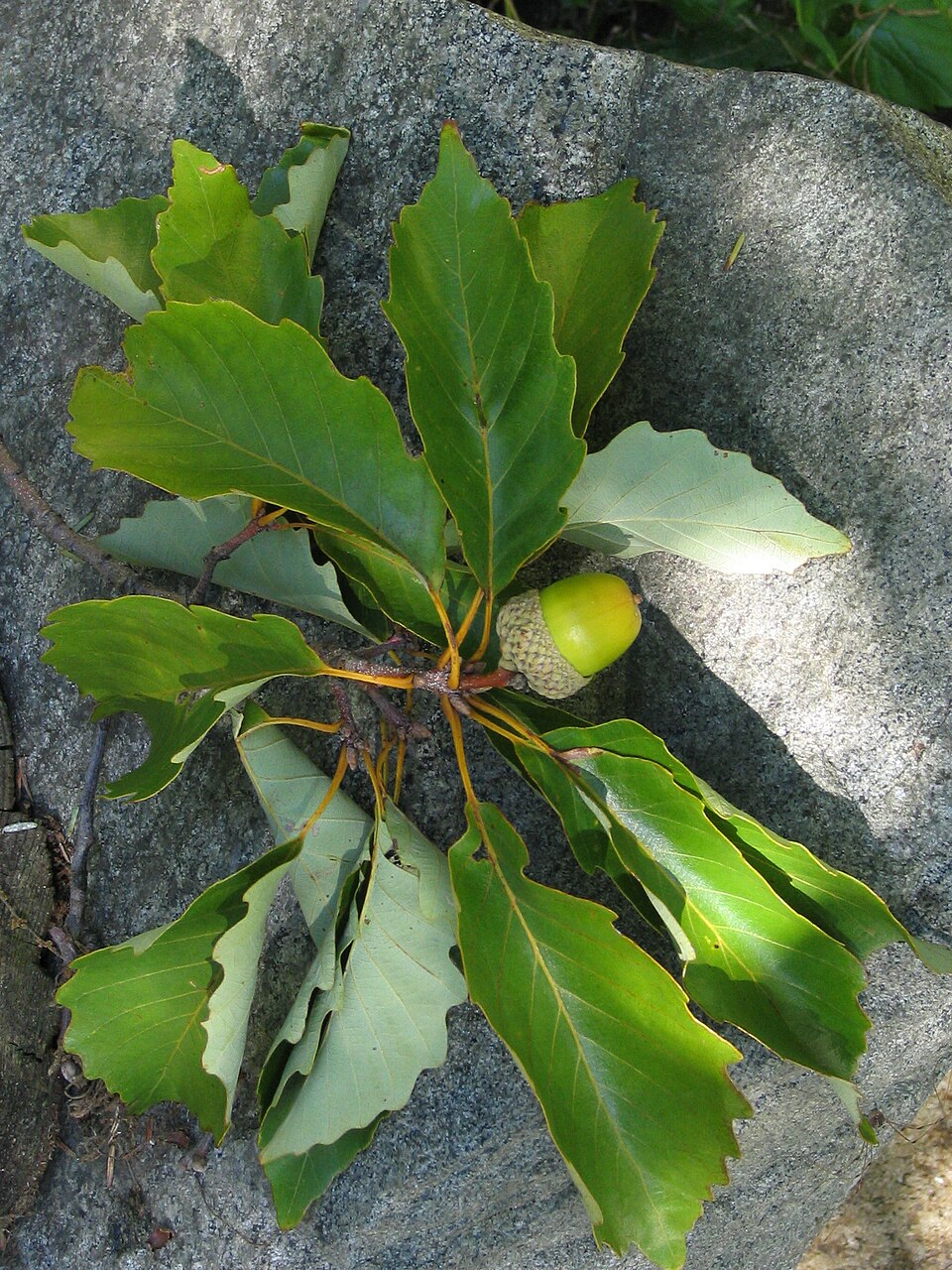
- Chestnut OakQuercus prinus
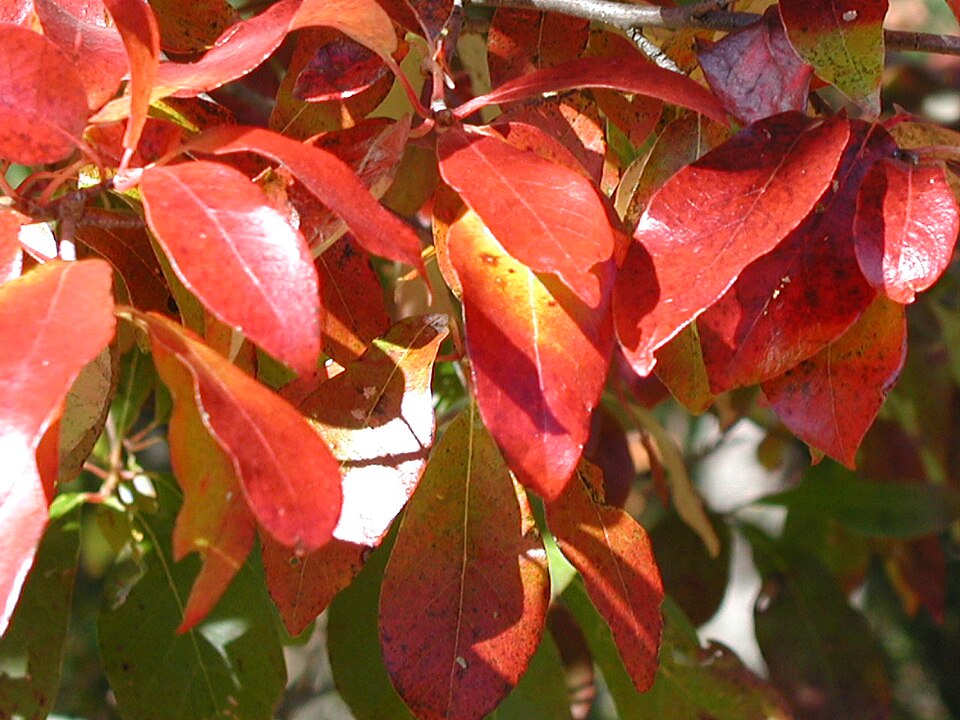
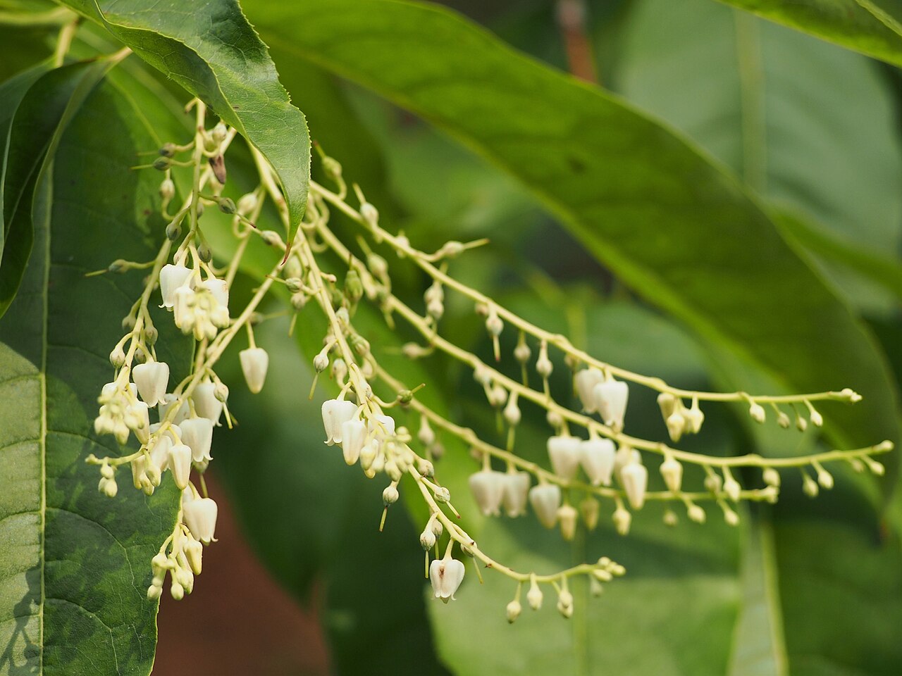
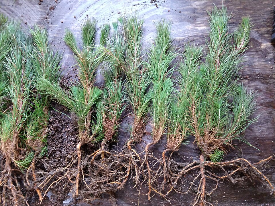
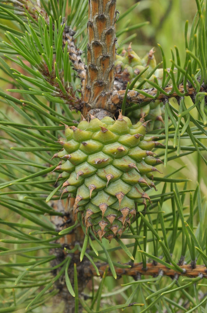
Wildlife 177
Other animals whose habitat models include the same habitats in West Virginia. Not sighting records.
- American CrowCorvus brachyrhynchos
- American GoldfinchCarduelis tristis
- American RobinTurdus migratorius
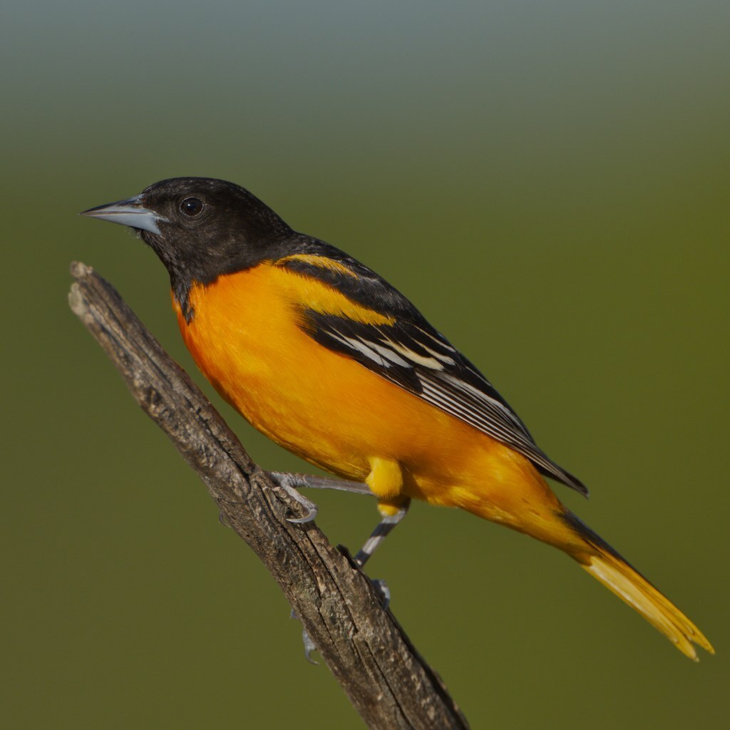
- Baltimore OrioleIcterus galbula
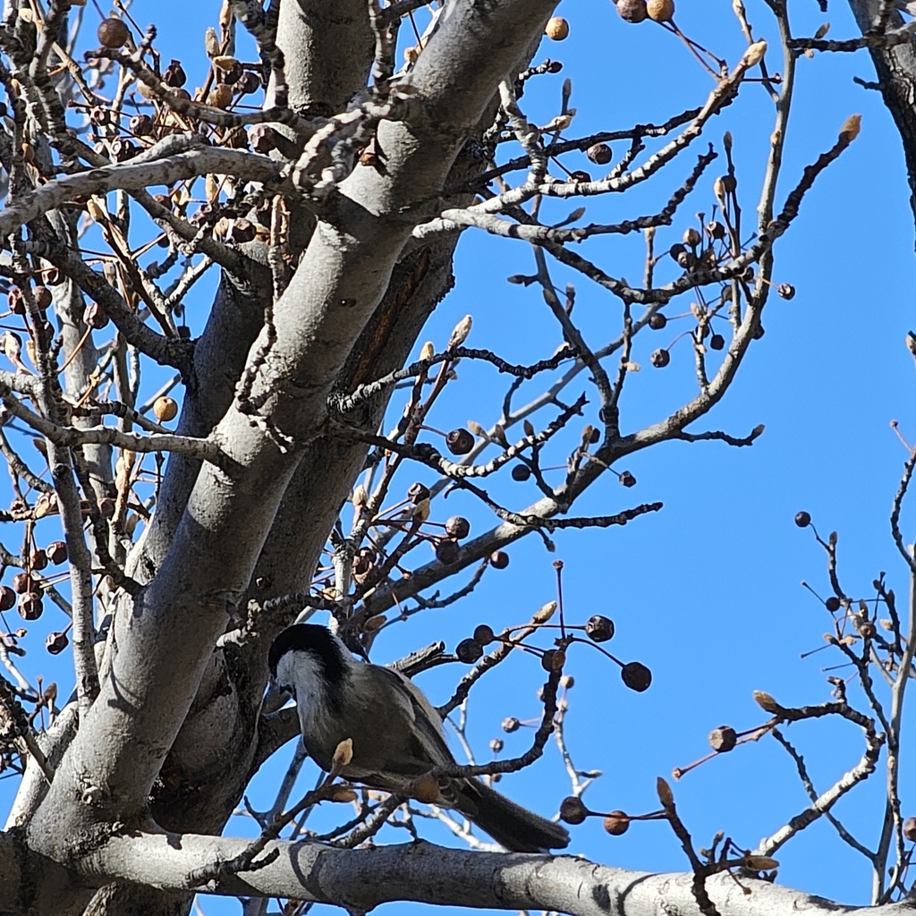
- Black-capped ChickadeePoecile atricapillus
- Brown ThrasherToxostoma rufum
- Cedar WaxwingBombycilla cedrorum
- Chipping SparrowSpizella passerina
- Common GrackleQuiscalus quiscula
- Common NighthawkChordeiles minor
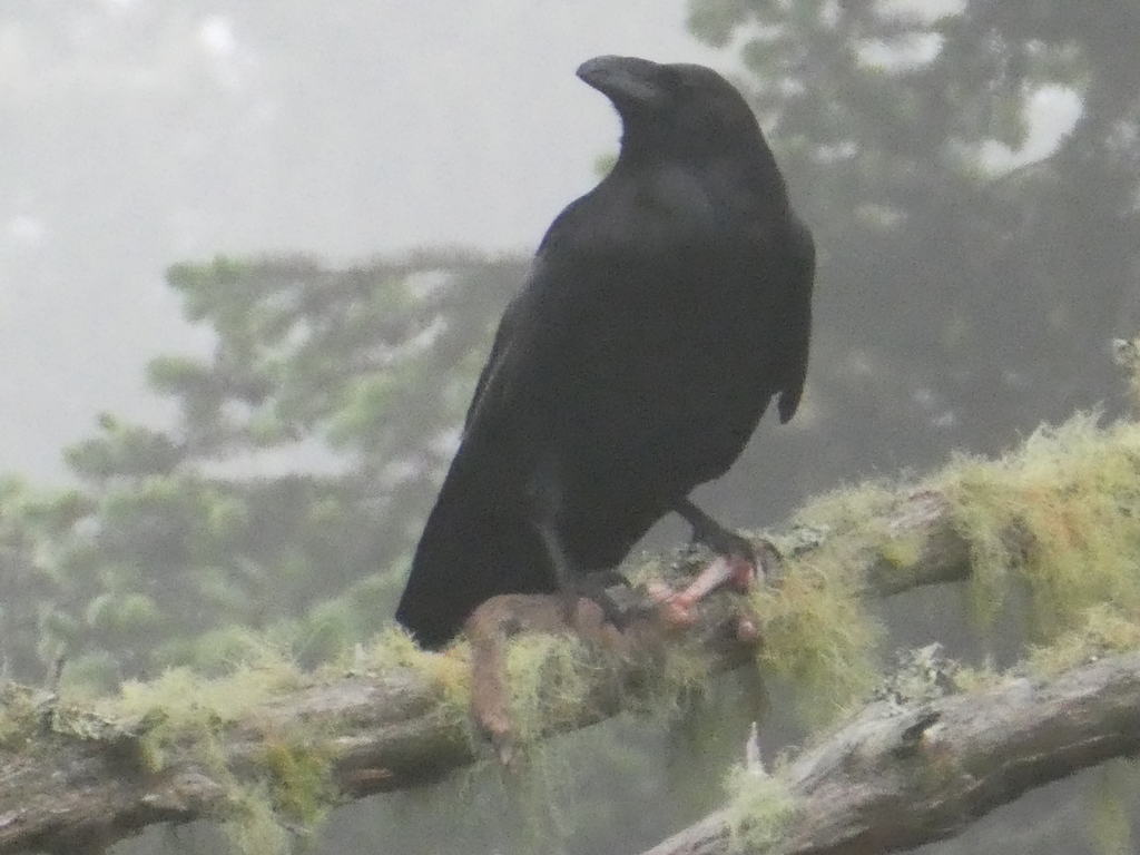
- Common RavenCorvus corax
- Cooper's HawkAccipiter cooperii
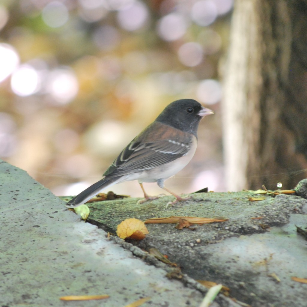
- Dark-eyed JuncoJunco hyemalis
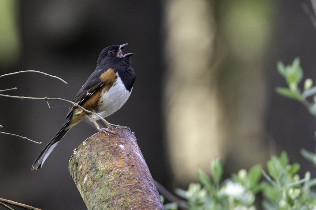
- Eastern TowheePipilo erythrophthalmus
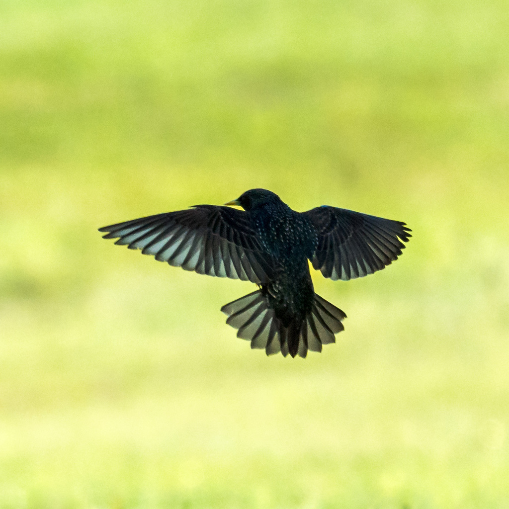
- European StarlingSturnus vulgaris
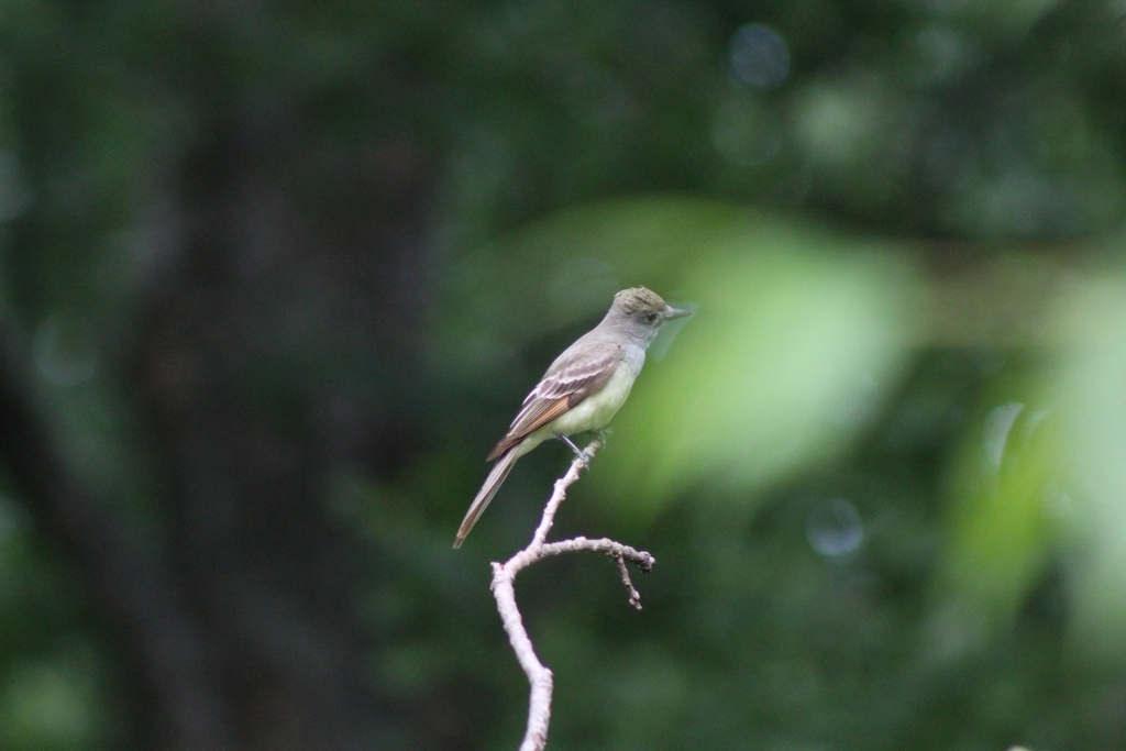
- Great Crested FlycatcherMyiarchus crinitus
- Great Horned OwlBubo virginianus
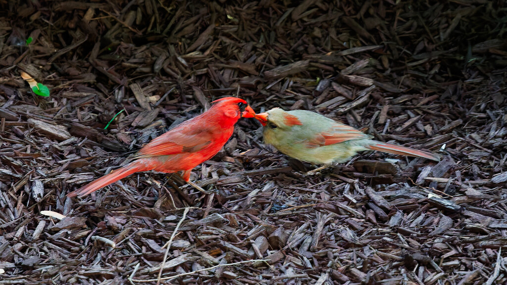
- Northern CardinalCardinalis cardinalis
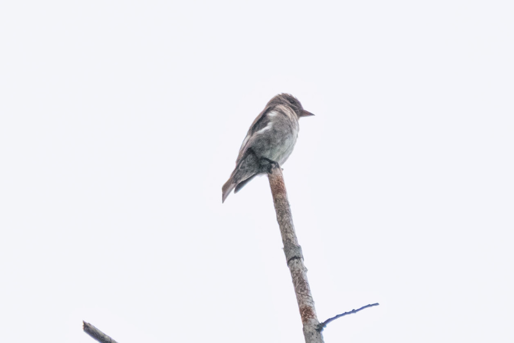
- Olive-sided FlycatcherContopus cooperi
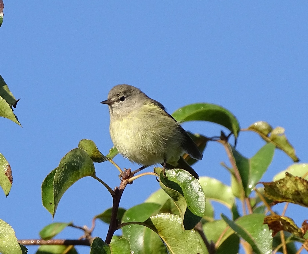
- Orange-crowned WarblerVermivora celata
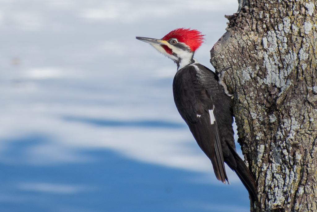
- Pileated WoodpeckerDryocopus pileatus
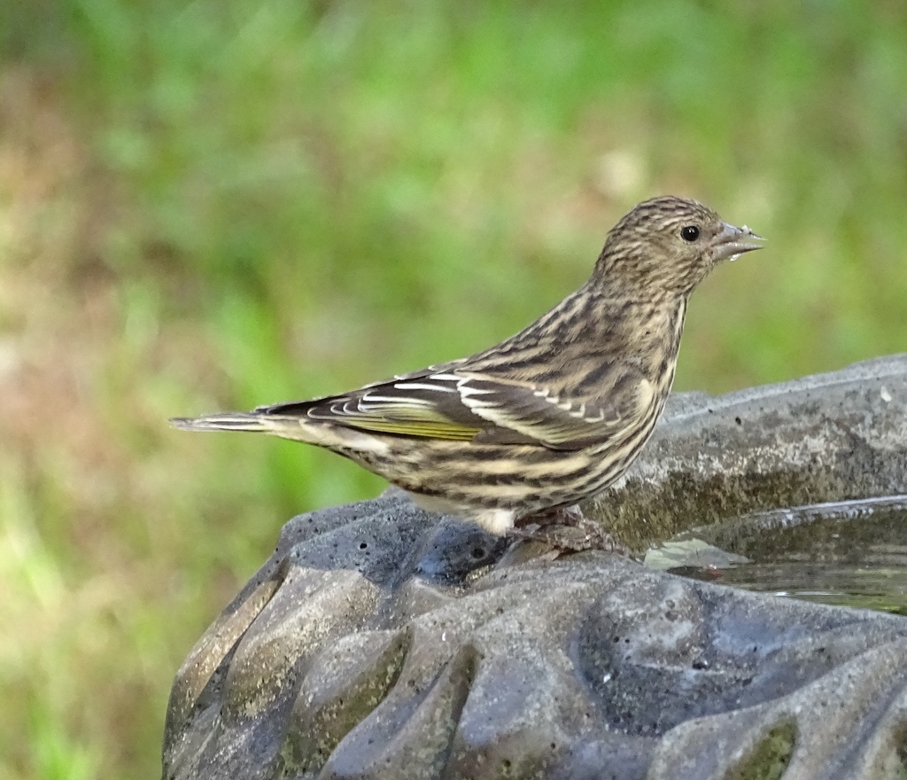
- Pine SiskinCarduelis pinus
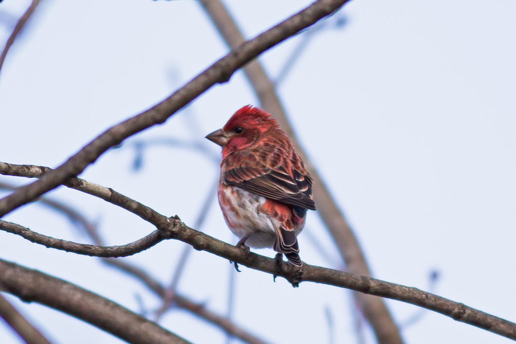
- Purple FinchCarpodacus purpureus
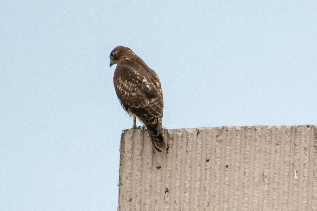
- Red-tailed HawkButeo jamaicensis



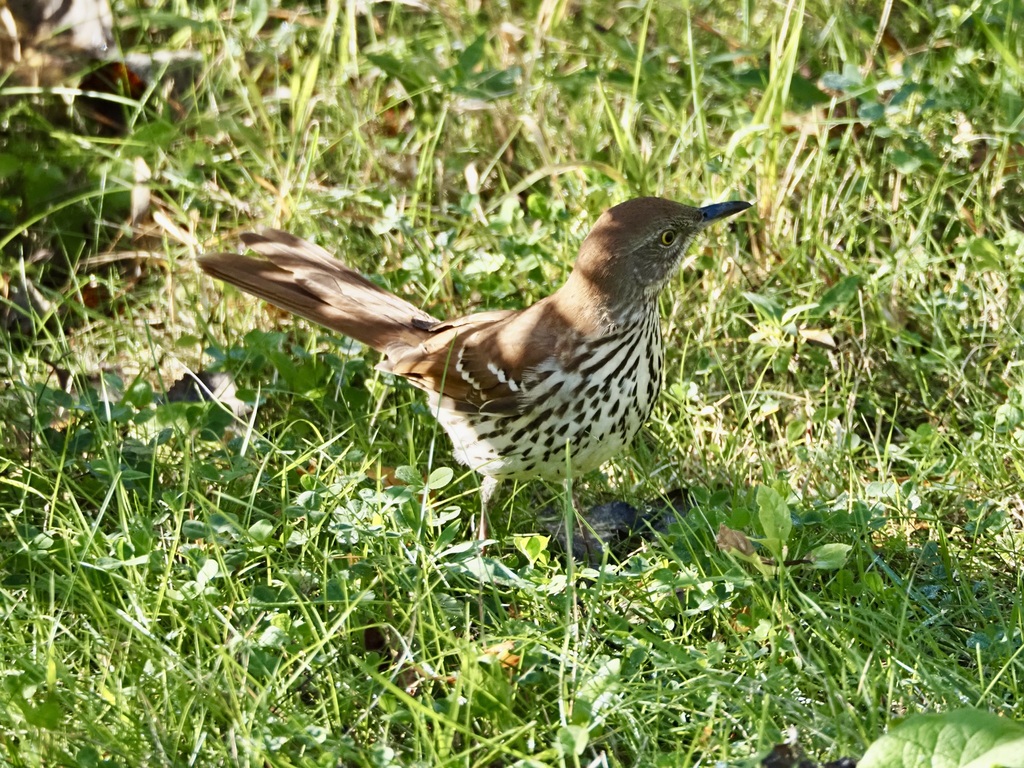
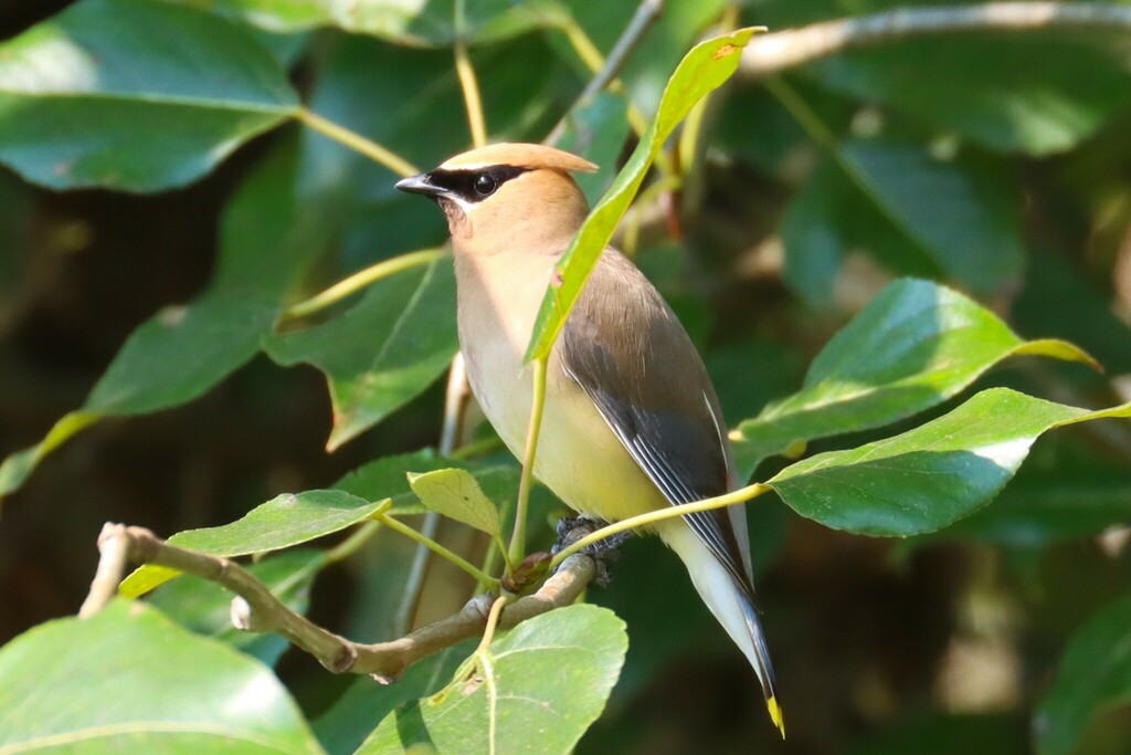
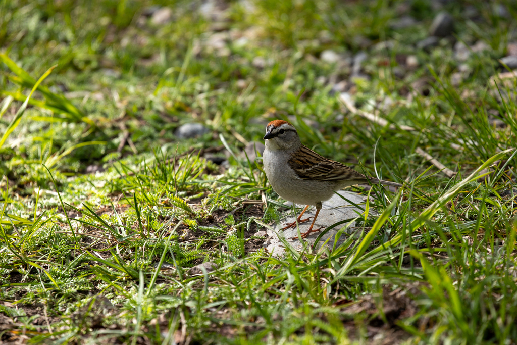
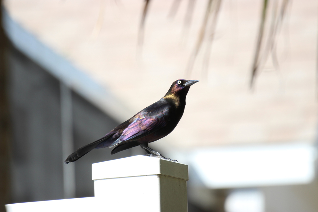



NatureServe Explorer, CC BY 4.0. USGS Gap Analysis Project habitat models.
Sources
- USGS Gap Analysis Project habitat models (2001)
- USGS GAP winter habitat model for Red Crossbill
- USGS Gap Analysis Project range maps (2001), modeled by watershed; migratory gives no dates
- NatureServe Explorer (CC BY 4.0), habitat names
- US Census TIGER/Line counties
- Names follow the USGS Gap Analysis Project (2001)