

Bird
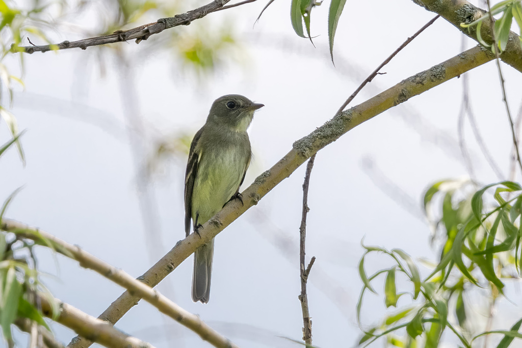
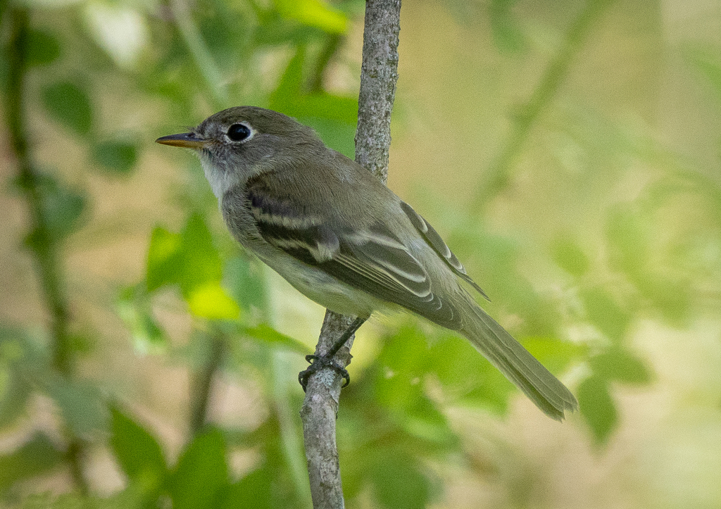
Alder Flycatcher
Empidonax alnorum
A summer resident that nests in West Virginia. Found in all 55 counties, across 13 habitats.
- Here
- Summer and on migration
- Nesting
- Nests here
- Range
- All 55 counties
- Habitats
- 13
At a glance
- Group
- Birds
- Here
- Summer and on migration
- Nesting
- Nests here
- Range
- All 55 counties
- Habitats
- 13
- Habitat models
- Summer
Where it lives
The places its habitat model includes. It is not found everywhere a habitat occurs.
Habitats in West Virginia 13
Each habitat page lists the plants and wildlife also found there.
Disturbed and introduced wetlands
Wet ground taken over by weedy or introduced plants after disturbance, such as common reed, Chinese tallow or tamarisk stands; the upland counterpart is roadsides, fields and disturbed ground.
Floodplain and bottomland forests
Forests on low ground beside rivers and streams that flood from time to time.
Borders of forests, clearings and shrubby thickets.
Treeless grassy or shrubby summits and ridges in the high mountains.
Roadsides, fields and disturbed ground
Ground opened by people: roadsides, old fields, pastures, fencerows and lots.
Streams, rivers and their banks
Flowing water and its banks, bars and rocky shoals.
Forested wetlands with standing water much of the year, such as cypress and gum swamps.
Tree plantations and managed pine
Planted or intensively managed stands of pine or hardwoods grown for timber; a land use rather than a natural community.
Forests and open woodlands on dry ridges and slopes, often oak or pine.
Shady, evergreen forests of eastern or Carolina hemlock, often along rocky mountain streams and in gorges.
Forests between dry and moist, often oak-hickory on slopes.
Forests on moist but not wet ground, such as rich slopes and ravines.
Sheltered, moist mountain hollows and lower slopes with deep, fertile soil.
Other habitats in its models (29)
Land cover, or classes with no habitat page in West Virginia.
- Ozark-Ouachita Dry-Mesic Oak Forest Summer, beside its main habitat.
- Crosstimbers Oak Forest and Woodland Summer, beside its main habitat.
- North-Central Interior Beech-Maple Forest Summer, beside its main habitat.
- North-Central Interior Maple-Basswood Forest Summer, beside its main habitat.
- Boreal Aspen-Birch Forest Summer, beside its main habitat.
- South-Central Interior / Upper Coastal Plain Flatwoods Summer, beside its main habitat.
- Ozark-Ouachita Mesic Hardwood Forest Summer, beside its main habitat.
- Northern Atlantic Coastal Plain Dry Hardwood Forest Summer, beside its main habitat.
- Boreal White Spruce-Fir-Hardwood Forest Summer, beside its main habitat.
- Recently Logged Areas Summer.
- Recently Burned Summer.
- Recently Burned Forest Summer.
- Recently Burned Shrubland Summer.
- Introduced Upland Vegetation - Shrub Summer.
- Central Interior and Appalachian Shrub-Herbaceous Wetland Systems Summer.
- Northern Atlantic Coastal Plain Basin Swamp and Wet Hardwood Forest Summer, beside its main habitat.
- Atlantic Coastal Plain Nonriverine Swamp and Wet Hardwood Forest - Oak Dominated Modifier Summer, beside its main habitat.
- Boreal Acidic Peatland Systems Summer.
- Southern and Central Appalachian Bog and Fen Summer.
- Eastern Great Plains Wet Meadow, Prairie, and Marsh Summer.
- Southern Piedmont/Ridge and Valley Upland Depression Swamp Summer.
- Southern Piedmont Large Floodplain Forest - Forest Modifier Summer.
- South-Central Interior Large Floodplain - Herbaceous Modifier Summer.
- Eastern Boreal Floodplain Summer.
- Eastern Great Plains Floodplain Systems Summer.
- Southern Piedmont Small Floodplain and Riparian Forest Summer.
- Ozark-Ouachita Riparian Summer.
- South-Central Interior / Upper Coastal Plain Wet Flatwoods Summer, beside its main habitat.
- North-Central Interior Wet Flatwoods Summer, beside its main habitat.
Seasons in West Virginia
- Migratory: does not nest here, in 46 of 55 counties.
- Summer: nests here, in 18 of 55 counties.
Also found in this habitat
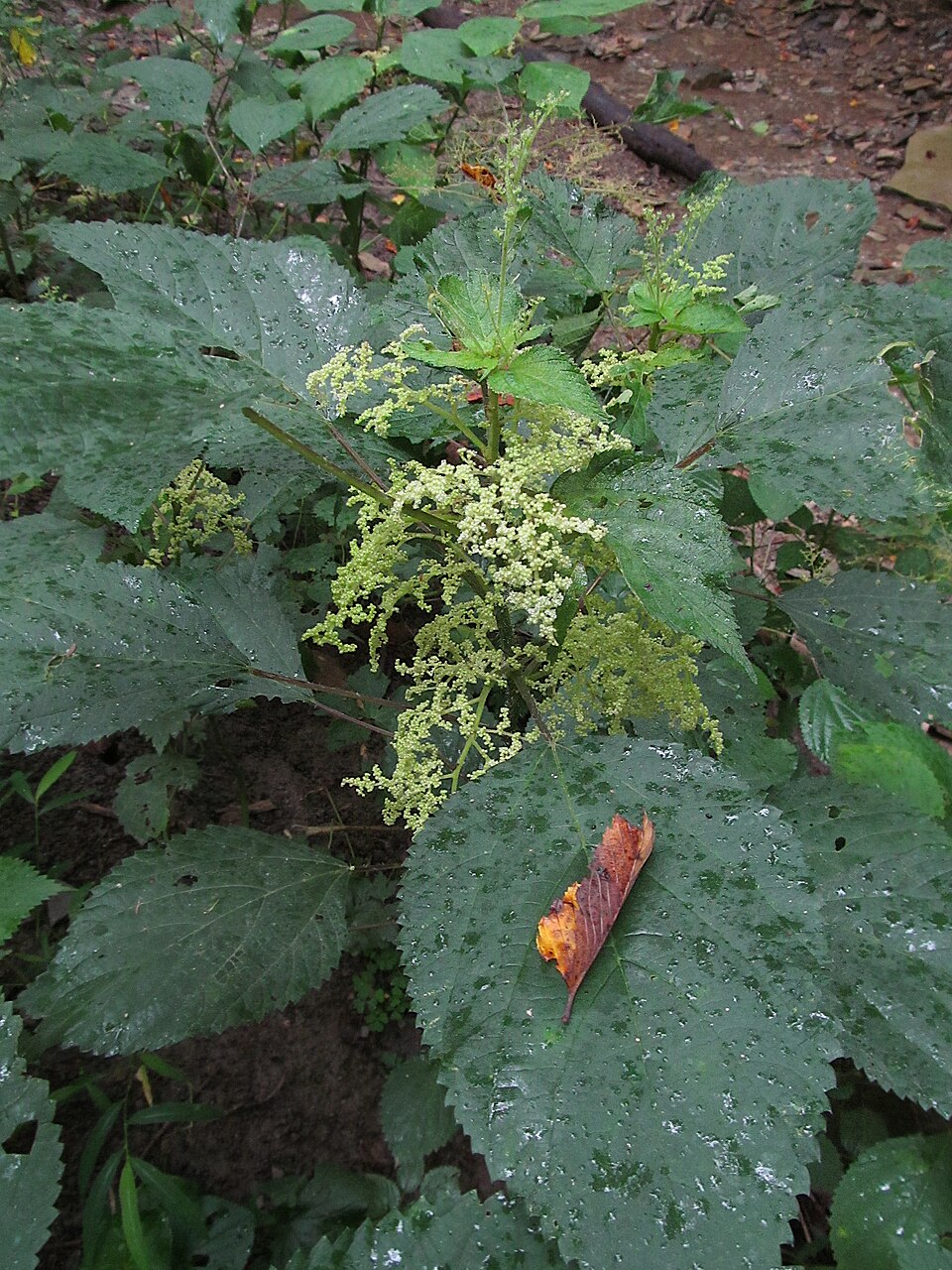
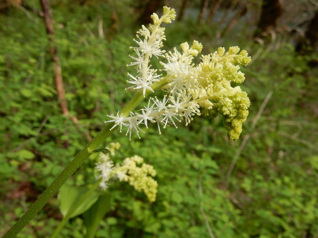
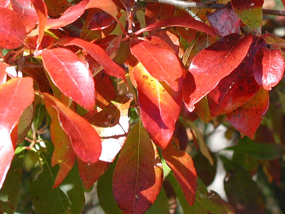
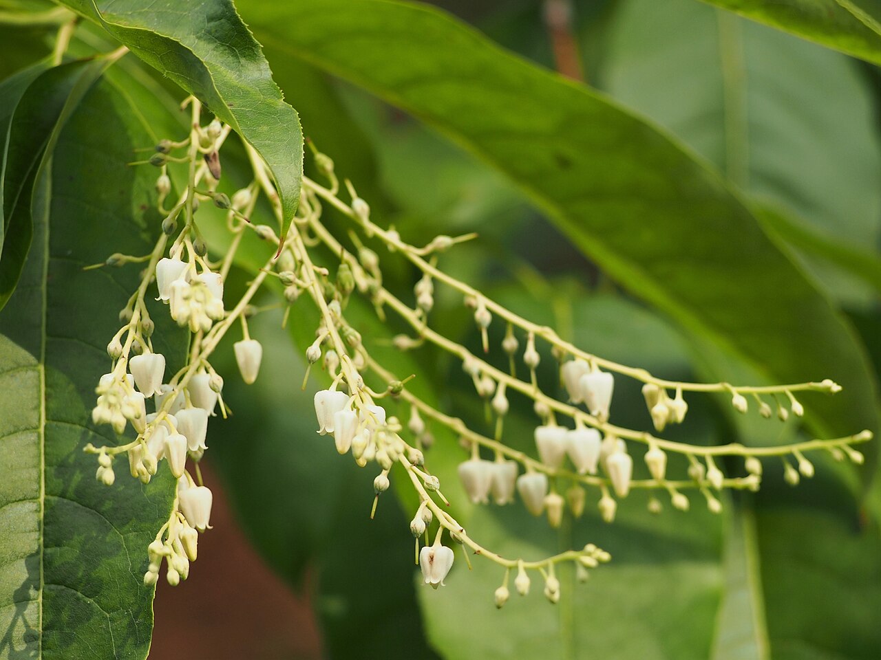
Plants 746
Plants named in NatureServe descriptions of these habitats that grow in West Virginia. Shared habitat, not food.
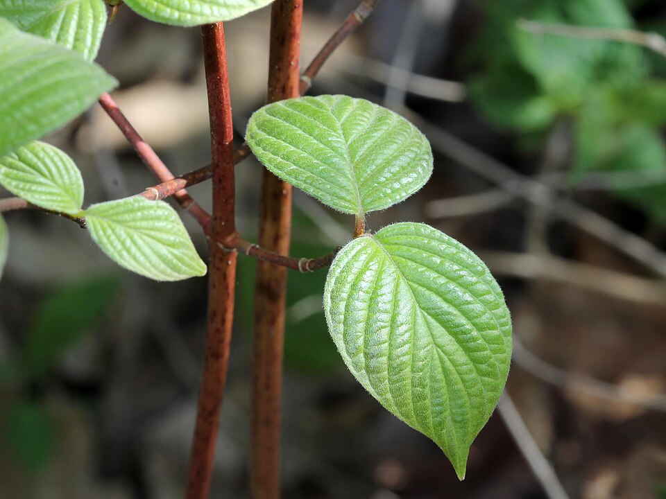
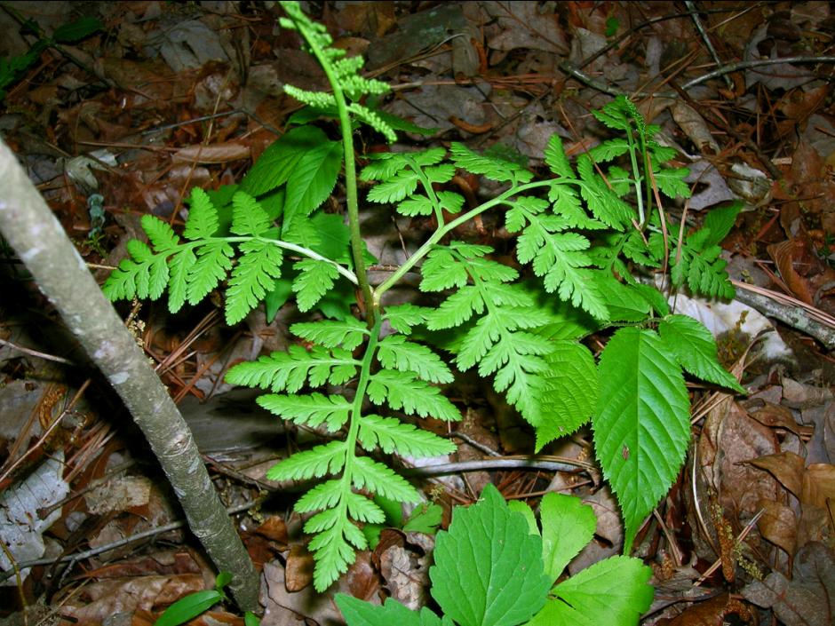
- Round Leaf DogwoodCornus rugosa
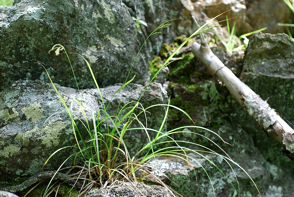
- Poverty OatgrassDanthonia spicata
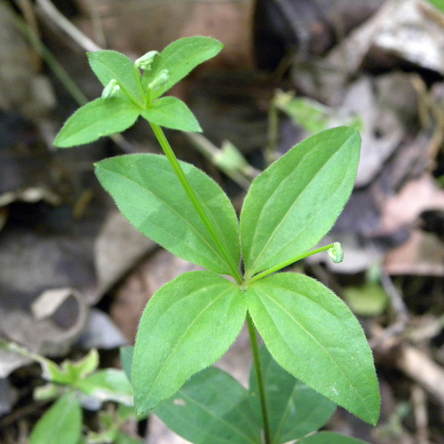
- Licorice BedstrawGalium circaezans
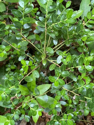
- Box HuckleberryGaylussacia brachycera
- Canada Wood-nettleLaportea canadensis
- False Solomon's-sealMaianthemum racemosum
- BlackgumNyssa sylvatica
- SourwoodOxydendrum arboreum
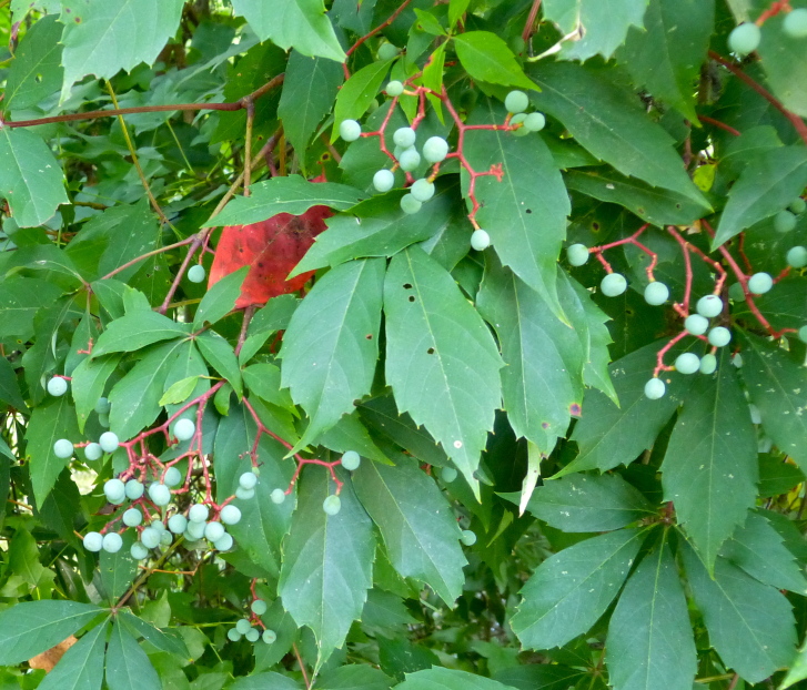
- Virginia CreeperParthenocissus quinquefolia
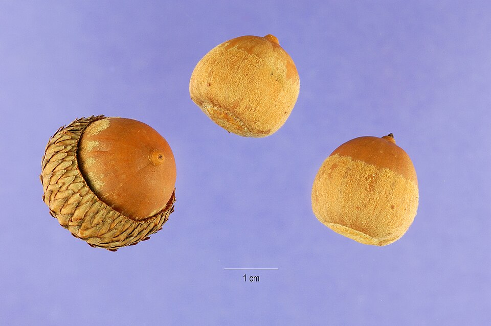
- Scarlet OakQuercus coccinea
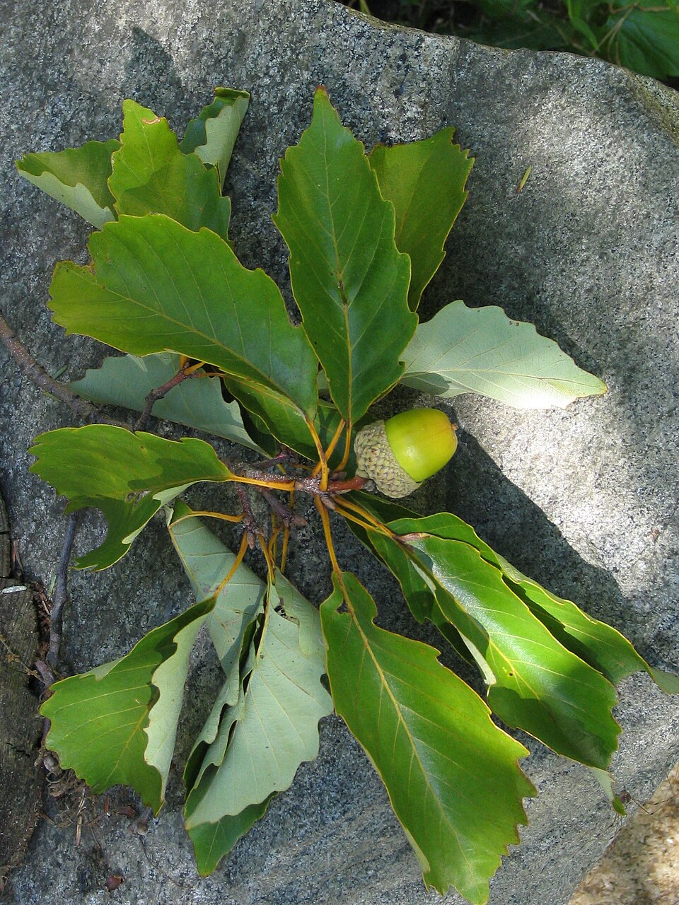
- Chestnut OakQuercus prinus
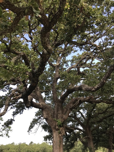
- Post OakQuercus stellata
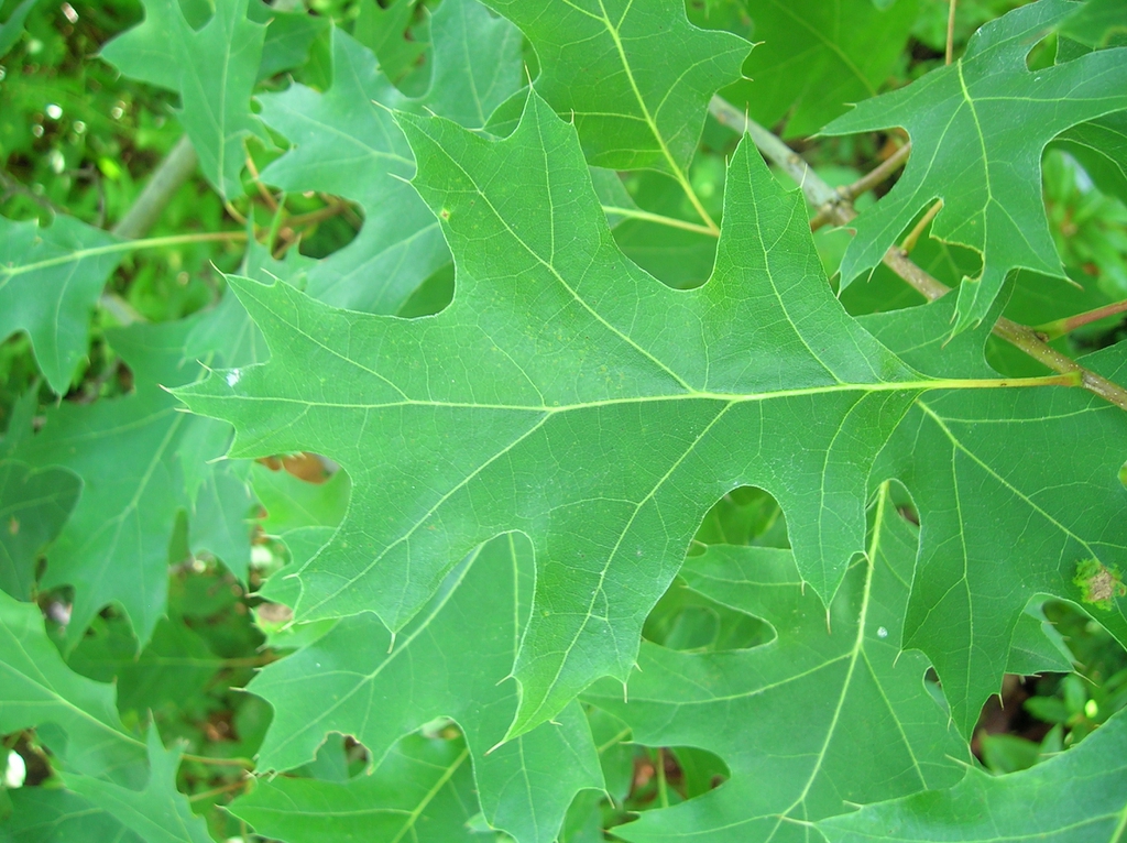
- Black OakQuercus velutina
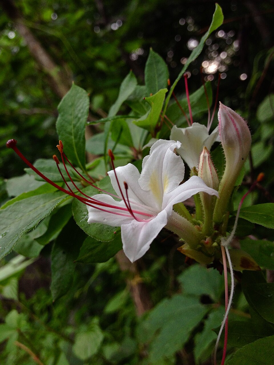
- Smooth AzaleaRhododendron arborescens
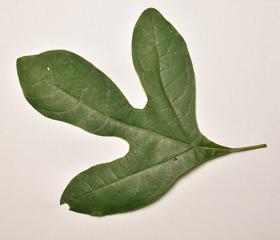
- SassafrasSassafras albidum
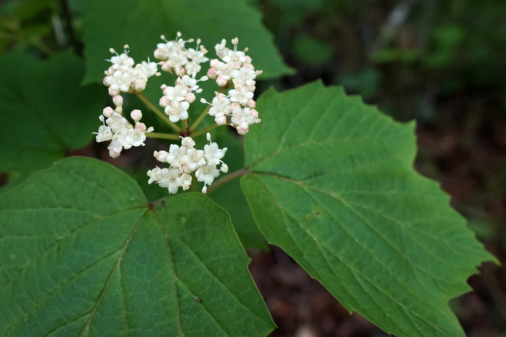
- Mapleleaf ViburnumViburnum acerifolium
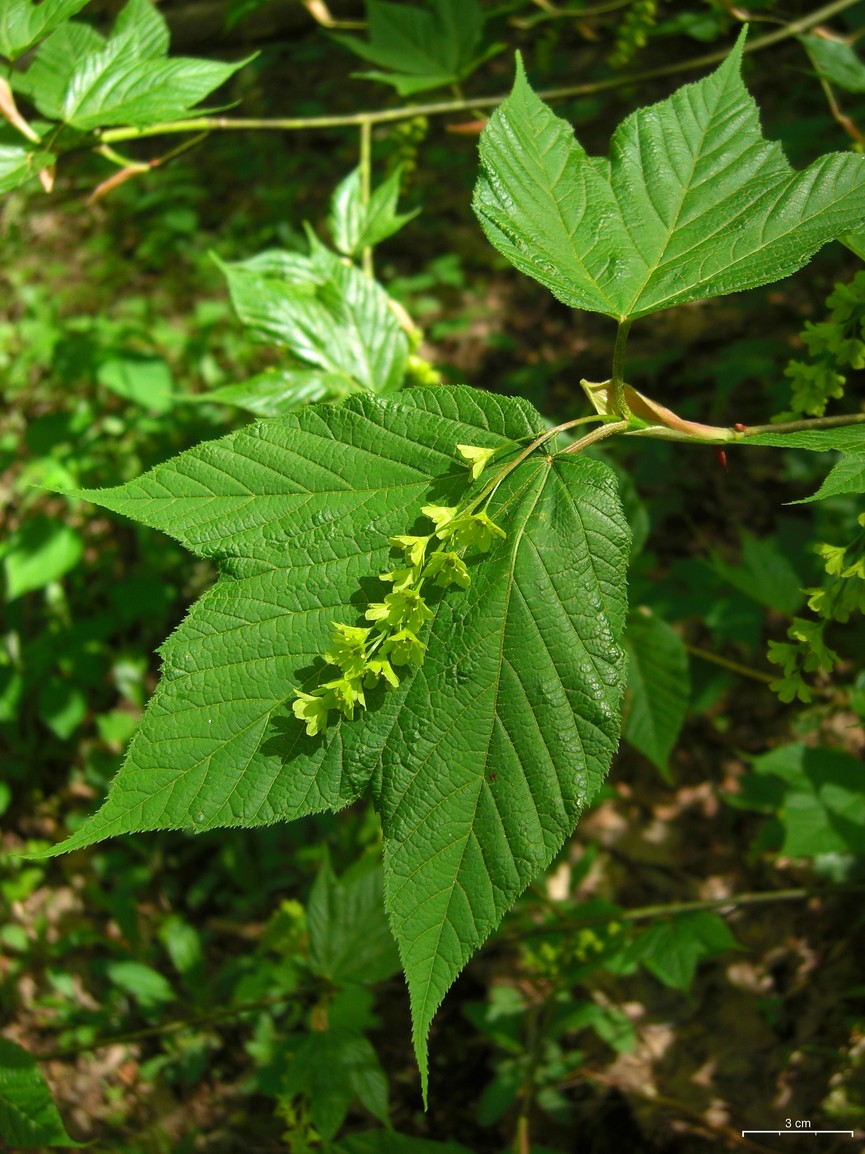
- Striped MapleAcer pensylvanicum
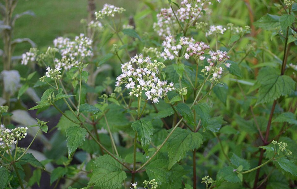
- White SnakerootAgeratina altissima
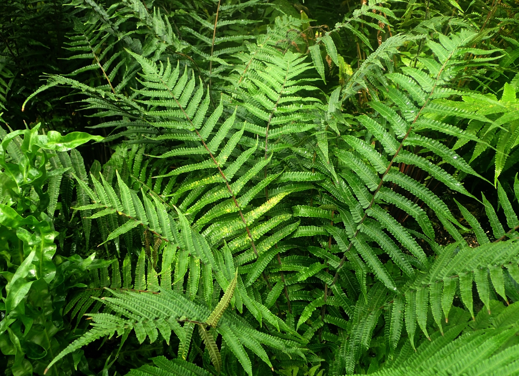
- New York FernAmauropelta noveboracensis
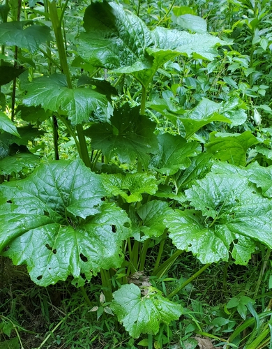
- Great Indian-plantainArnoglossum reniforme
- Wavy HairgrassAvenella flexuosa
- Rattlesnake FernBotrychium virginianum
- Summer SedgeCarex aestivalis
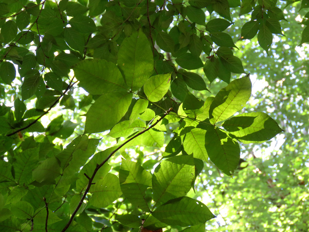
- Pignut HickoryCarya glabra
Wildlife 212
Other animals whose habitat models include the same habitats in West Virginia. Not sighting records.
- American GoldfinchCarduelis tristis
- American RobinTurdus migratorius
- Chimney SwiftChaetura pelagica
- Common NighthawkChordeiles minor
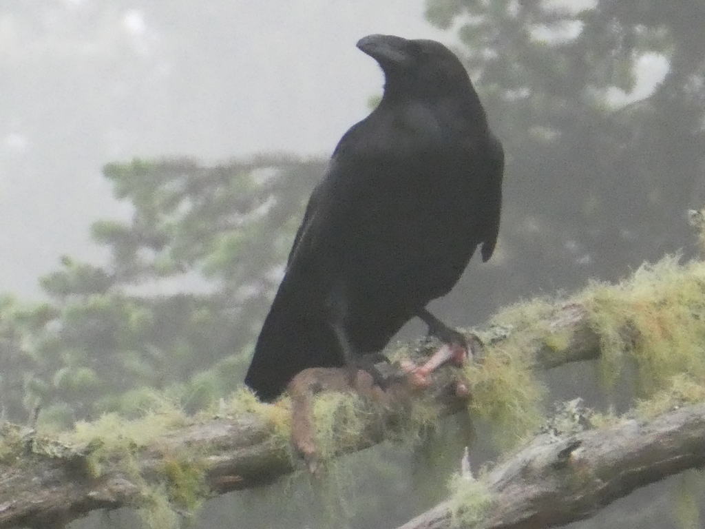
- Common RavenCorvus corax
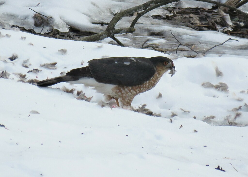
- Cooper's HawkAccipiter cooperii
- Eastern KingbirdTyrannus tyrannus
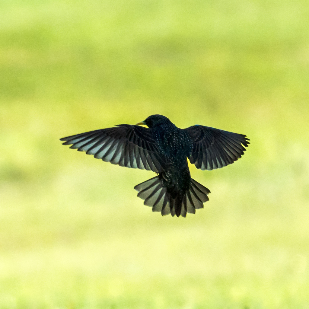
- European StarlingSturnus vulgaris
- Great Horned OwlBubo virginianus
- Least FlycatcherEmpidonax minimus
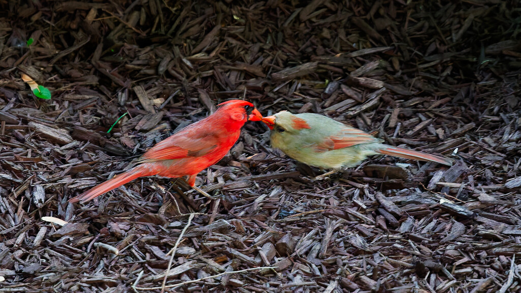
- Northern CardinalCardinalis cardinalis
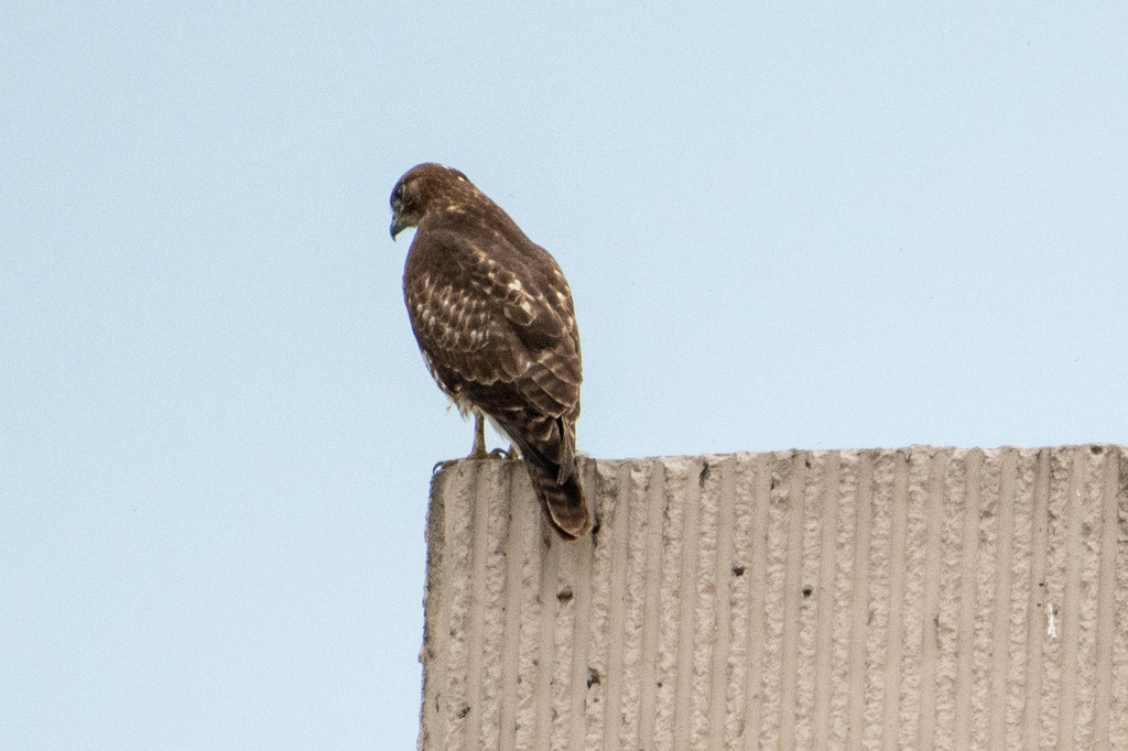
- Red-tailed HawkButeo jamaicensis
- Sharp-shinned HawkAccipiter striatus
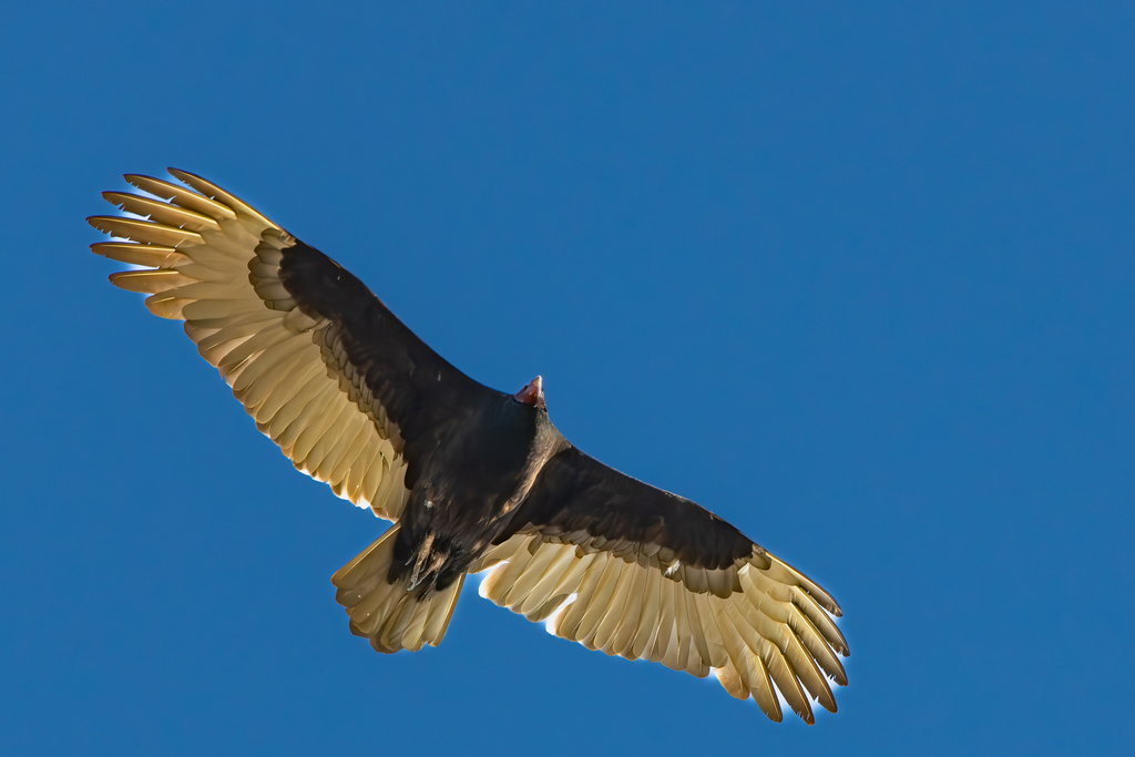
- Turkey VultureCathartes aura
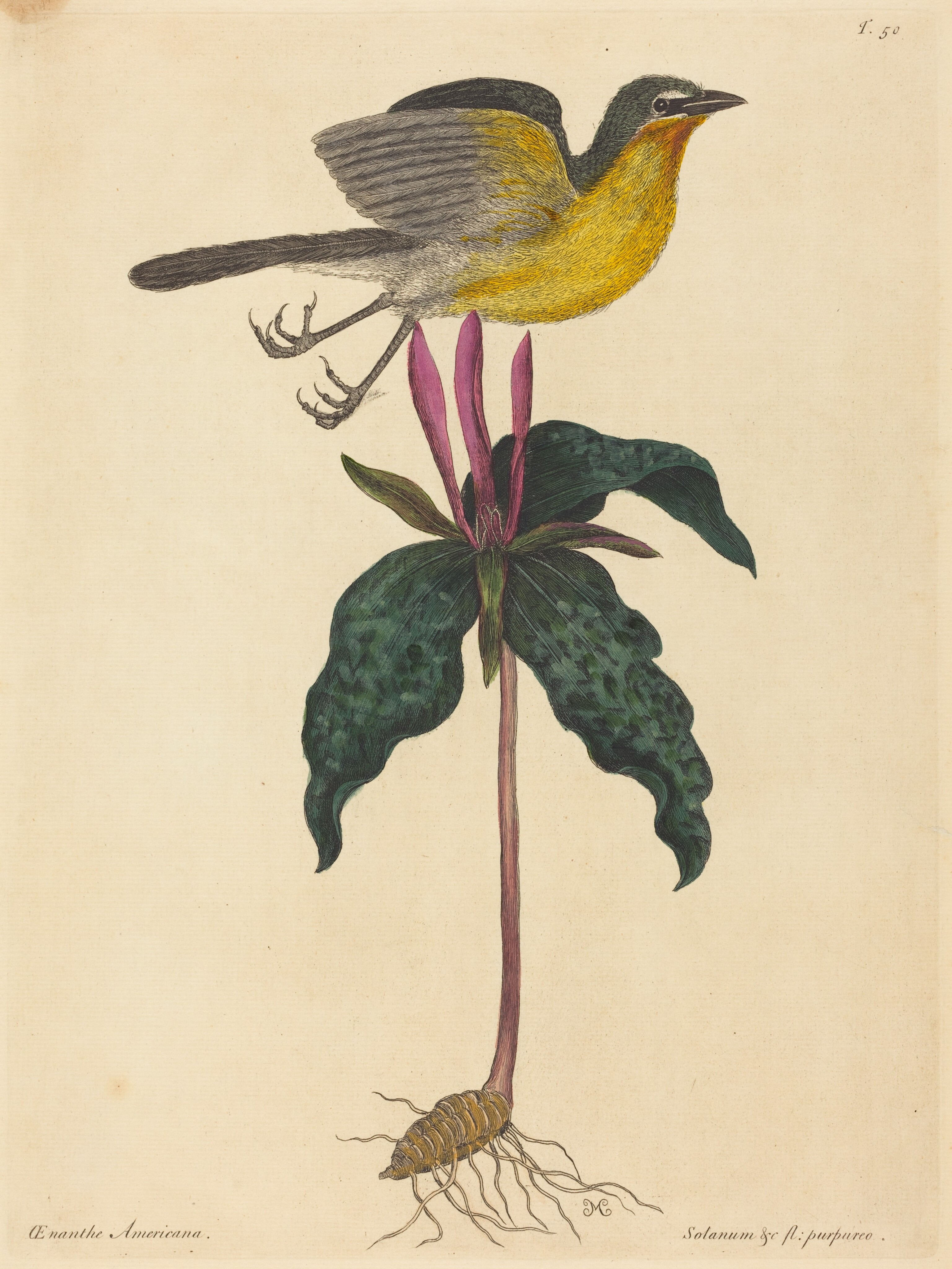
- Yellow-breasted ChatIcteria virens
- American CrowCorvus brachyrhynchos
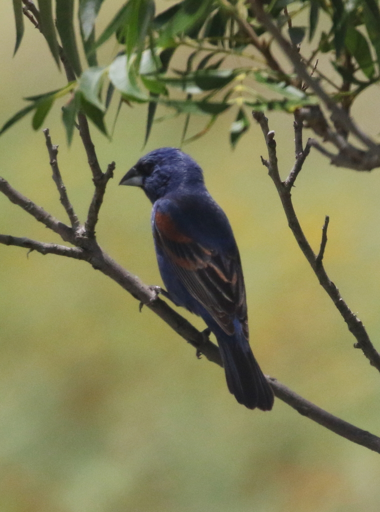
- Blue GrosbeakPasserina caerulea
- Blue-gray GnatcatcherPolioptila caerulea
- Carolina WrenThryothorus ludovicianus
- Cedar WaxwingBombycilla cedrorum
- Chestnut-sided WarblerDendroica pensylvanica
- Chipping SparrowSpizella passerina
- Dark-eyed JuncoJunco hyemalis
- Eastern TowheePipilo erythrophthalmus








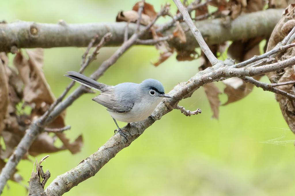
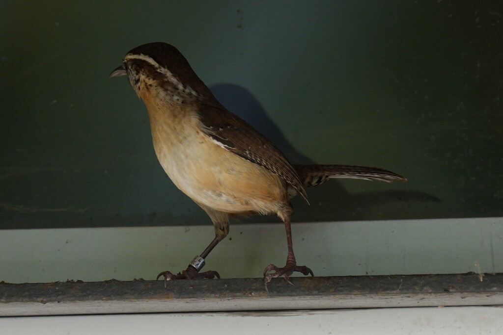
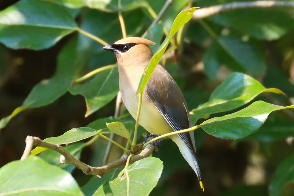
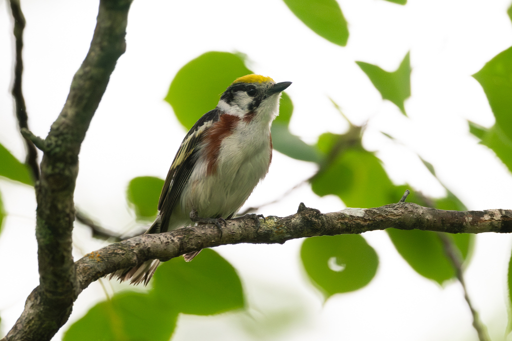
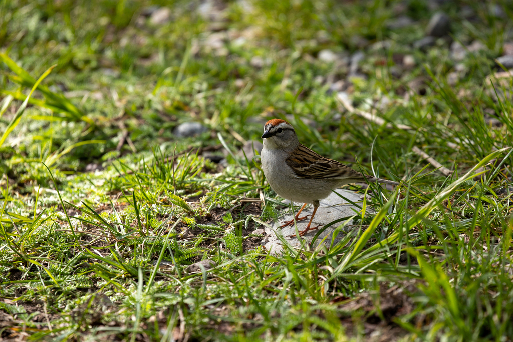
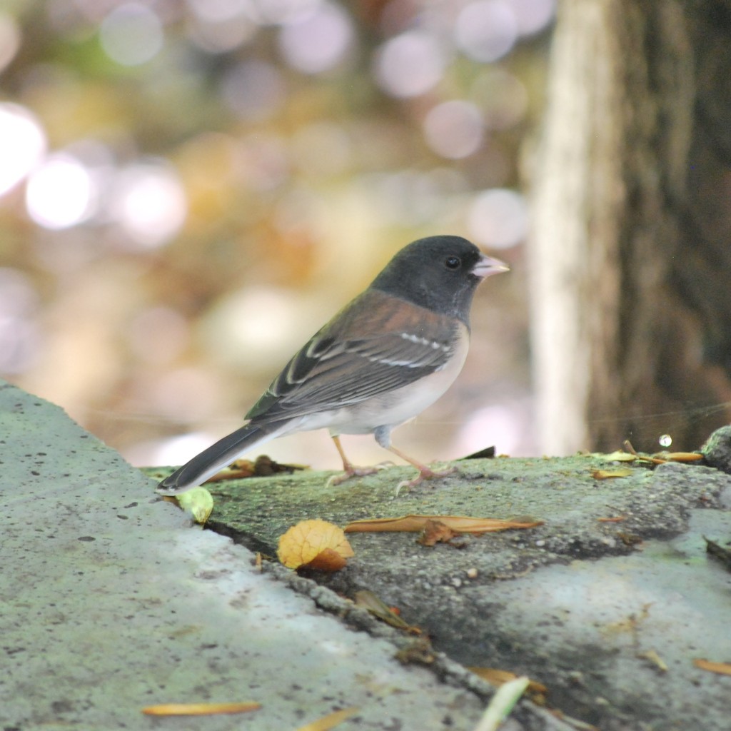
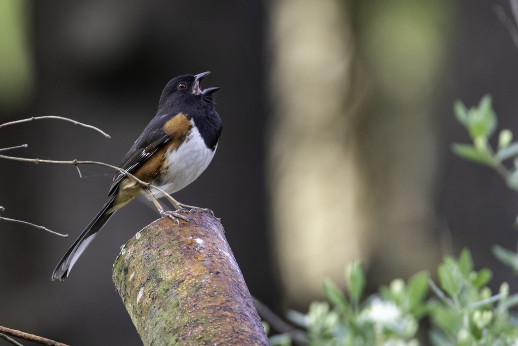
NatureServe Explorer, CC BY 4.0. USGS Gap Analysis Project habitat models.
Sources
- USGS Gap Analysis Project habitat models (2001)
- USGS GAP summer habitat model for Alder Flycatcher
- USGS Gap Analysis Project range maps (2001), modeled by watershed; migratory gives no dates
- NatureServe Explorer (CC BY 4.0), habitat names
- US Census TIGER/Line counties
- Names follow the USGS Gap Analysis Project (2001)