

Bird
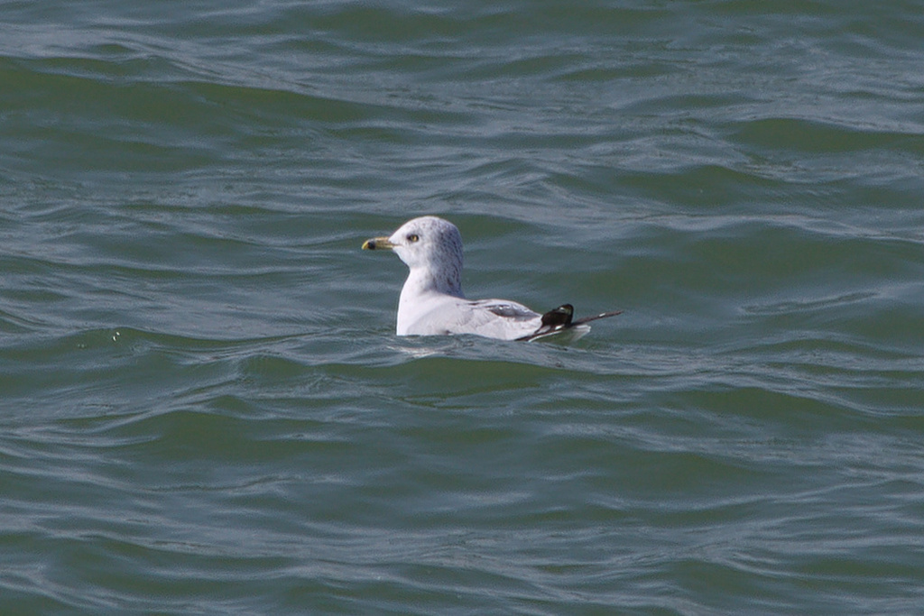
Ring-billed Gull
Larus delawarensis
A winter visitor to Virginia, found in all 133 counties and cities and 9 habitats.
- Here
- Winter and on migration
- Nesting
- Not known to nest here
- Range
- All 133 counties and cities
- Habitats
- 9
At a glance
- Group
- Birds
- Here
- Winter and on migration
- Nesting
- Not known to nest here
- Range
- All 133 counties and cities
- Habitats
- 9
- Habitat models
- Winter
Where it lives
The places its habitat model includes. It is not found everywhere a habitat occurs.
Habitats in Virginia 9
Each habitat page lists the plants and wildlife also found there.
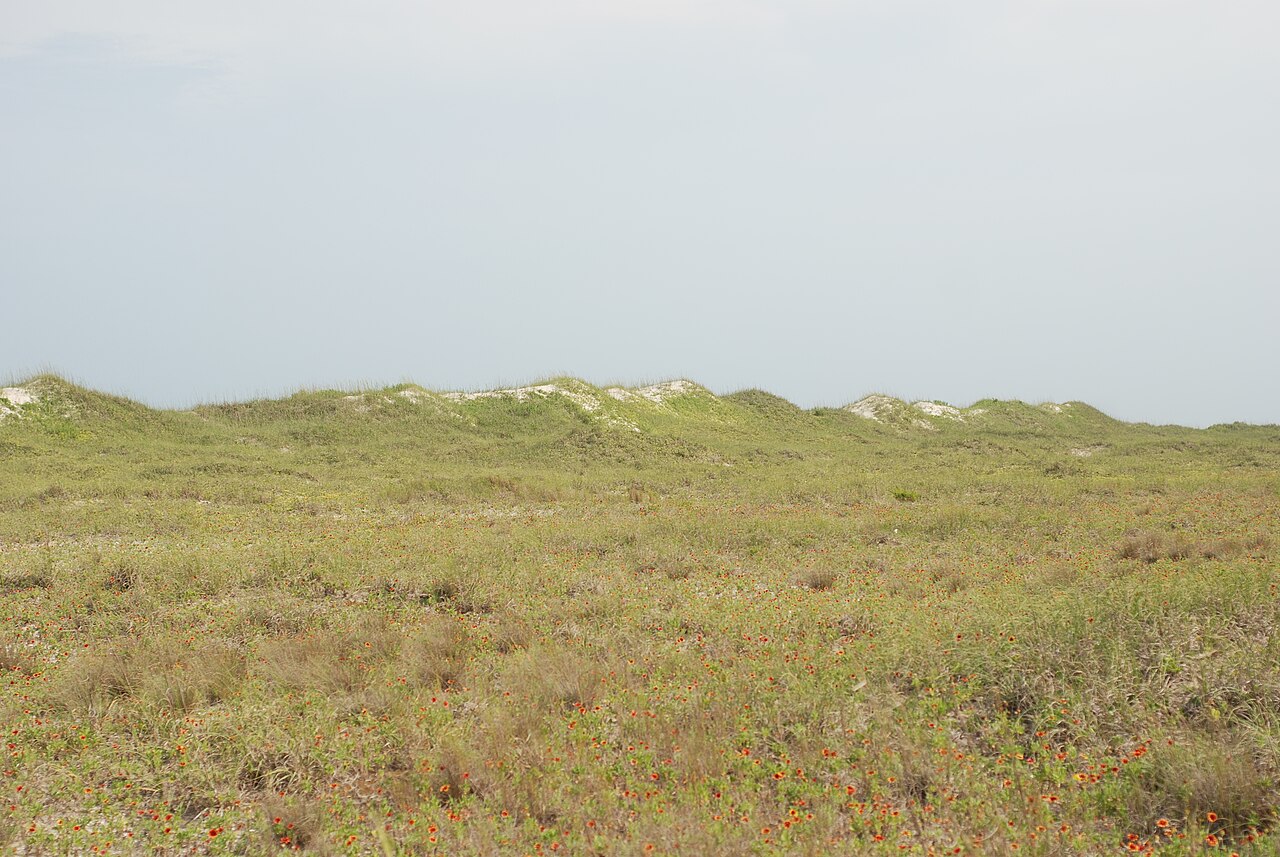
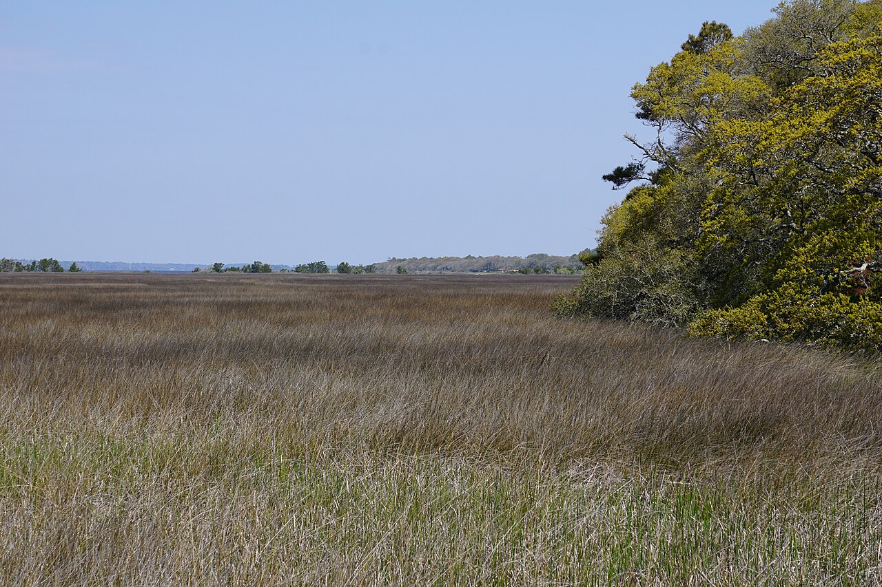
Coastal tidal marshes (salinity not stated)
Tidal marshes of the Atlantic and Gulf coasts where the source does not say whether the water is fresh, brackish or salt. A stated salinity files the marsh under freshwater tidal marshes or salt and brackish marshes instead.
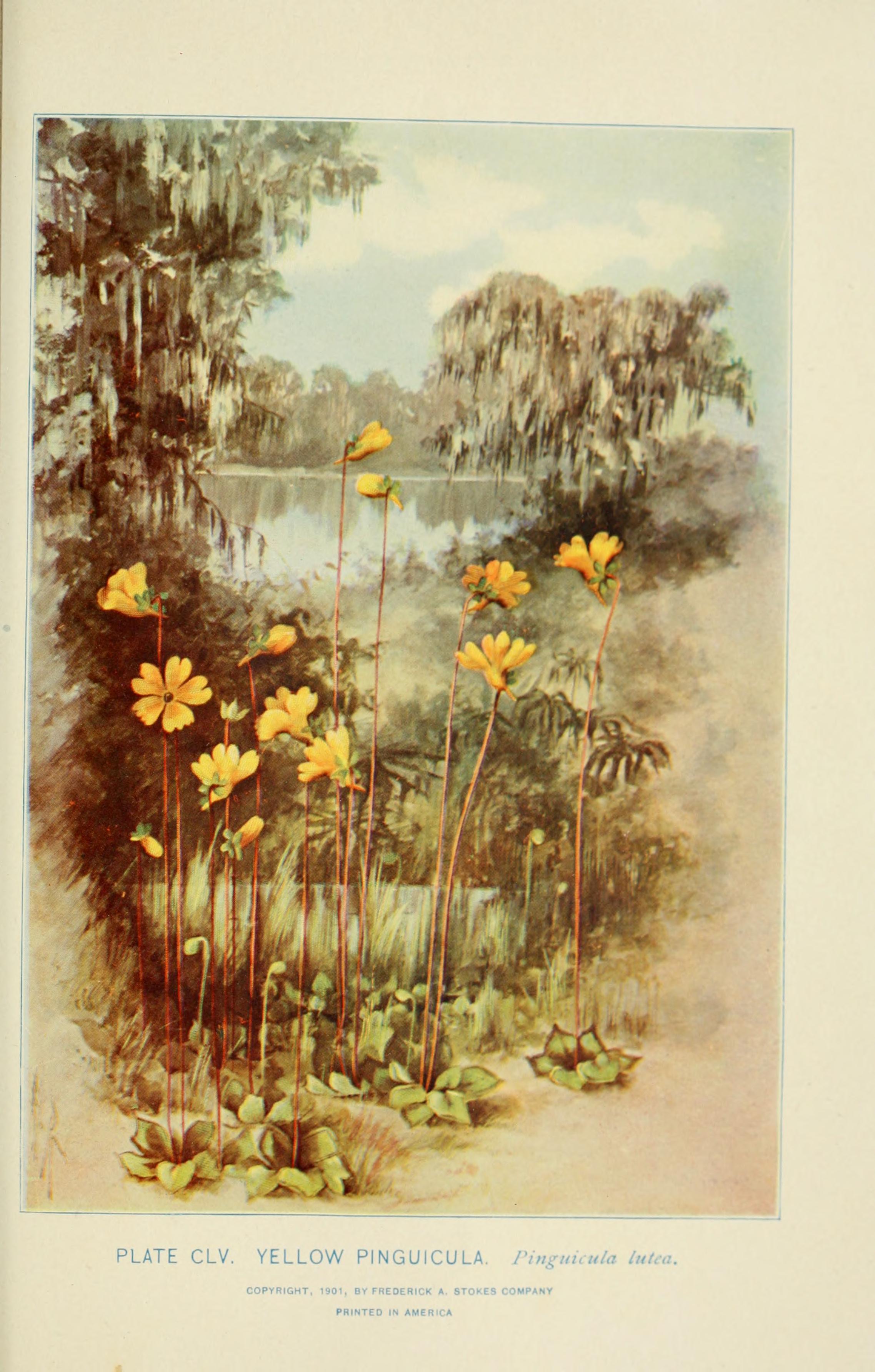
Depression ponds and limesinks
Shallow ponds in Coastal Plain depressions, such as limesinks and the ponds in some Carolina bays, that rise and fall with the seasons.
Disturbed and introduced wetlands
Wet ground taken over by weedy or introduced plants after disturbance, such as common reed, Chinese tallow or tamarisk stands; the upland counterpart is roadsides, fields and disturbed ground.
Marshes along tidal rivers where the water is fresh but rises and falls with the tide.
Salt and brackish open water of sounds, bays and estuaries, with the mud and sand flats and seagrass beds that tides cover and uncover; the vegetated marsh is salt and brackish marshes.
Roadsides, fields and disturbed ground
Ground opened by people: roadsides, old fields, pastures, fencerows and lots.
Other habitats in its models (39)
Land cover, or classes with no habitat page in Virginia.
- Developed, Low Intensity Winter, only within 1,000 m of water.
- Developed, Medium Intensity Winter, only within 1,000 m of water.
- Developed, High Intensity Winter, only within 1,000 m of water.
- Open Water (Aquaculture) Winter.
- Atlantic Coastal Plain Southern Beach Winter.
- Unconsolidated Shore (Lake/River/Pond) Winter.
- Unconsolidated Shore Winter.
- Upper Texas Coast Beach Winter.
- Southeast Florida Beach Winter.
- South Florida Shell Hash Beach Winter.
- Florida Panhandle Beach Vegetation Winter.
- Atlantic Coastal Plain Sea Island Beach Winter.
- Southwest Florida Beach Winter.
- Texas Coastal Bend Beach Winter.
- Atlantic Coastal Plain Xeric River Dune Winter.
- Atlantic Coastal Plain Southern Dune and Maritime Grassland Winter.
- Southwest Florida Dune and Coastal Grassland Winter.
- Texas-Louisiana Coastal Prairie Winter, only within 1,000 m of water.
- East Gulf Coastal Plain Dune and Coastal Grassland Winter.
- Central and Upper Texas Coast Dune and Coastal Grassland Winter.
- South Texas Dune and Coastal Grassland Winter.
- Atlantic Coastal Plain Central Salt and Brackish Tidal Marsh Winter.
- Atlantic Coastal Plain Indian River Lagoon Tidal Marsh Winter.
- Mississippi Sound Salt and Brackish Tidal Marsh Winter.
- Florida Big Bend Salt-Brackish Tidal Marsh Winter.
- Atlantic Coastal Plain Clay-Based Carolina Bay Herbaceous Wetland Winter.
- South Florida Everglades Sawgrass Marsh Winter.
- Floridian Highlands Freshwater Marsh Winter.
- Florida Big Bend Fresh-Oligohaline Tidal Marsh Winter.
- Atlantic Coastal Plain Central Fresh-Oligohaline Tidal Marsh Winter.
- South Florida Wet Marl Prairie Winter.
- East Gulf Coastal Plain Savanna and Wet Prairie Winter.
- Texas Saline Coastal Prairie Winter.
- Eastern Great Plains Wet Meadow, Prairie, and Marsh Winter.
- Central Florida Herbaceous Pondshore Winter.
- East Gulf Coastal Plain Southern Depression Pondshore Winter.
- Eastern Great Plains Floodplain Systems Winter.
- Cumberland Riverscour Winter.
- Texas-Louisiana Coastal Prairie Slough Winter.
Seasons in Virginia
- Migratory: does not nest here, in 79 of 133 counties and cities.
- Winter: does not nest here, in 76 of 133 counties and cities.
Also found in this habitat
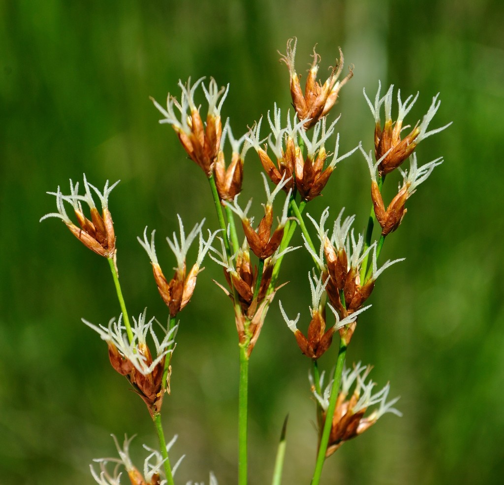
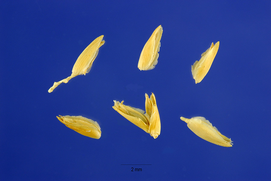
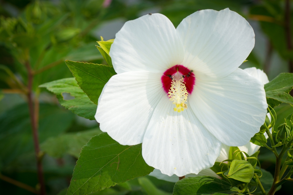
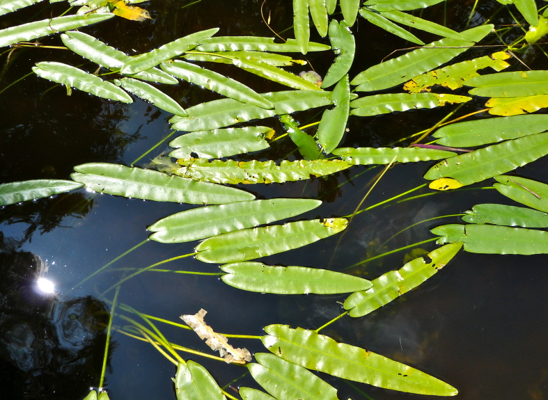
Plants 125
Plants named in NatureServe descriptions of these habitats that grow in Virginia. Shared habitat, not food.
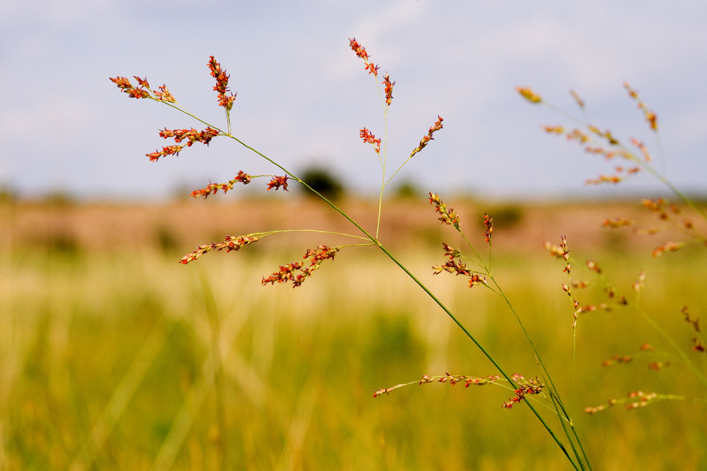
- Common WaxmyrtleMorella cerifera
- SwitchgrassPanicum virgatum
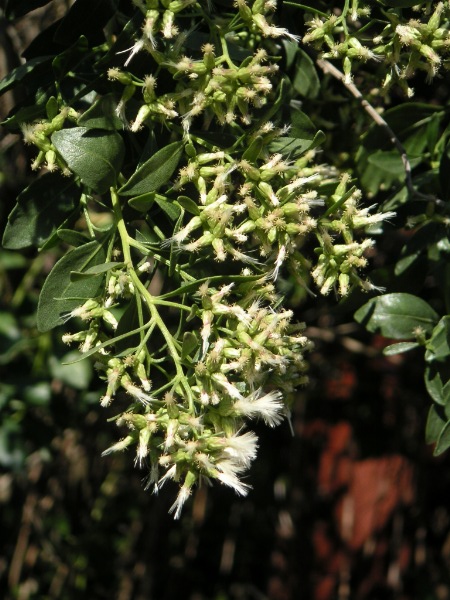
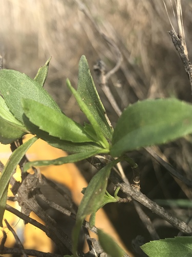
- Groundsel-treeBaccharis halimifolia
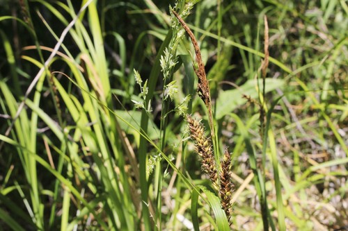
- Shoreline SedgeCarex hyalinolepis
- Creeping SpikerushEleocharis fallax
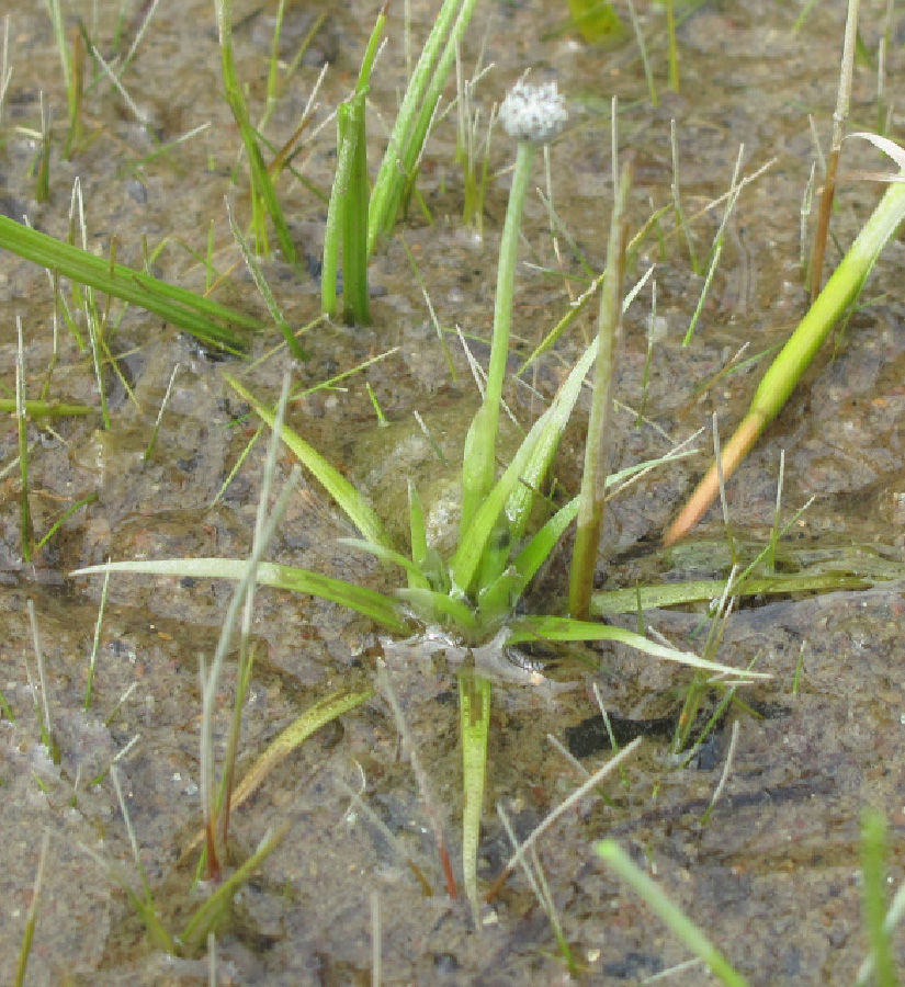
- Estuary PipewortEriocaulon parkeri
- Bigleaf Marsh-elderIva frutescens
- Rice CutgrassLeersia oryzoides
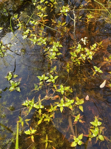
- Welsh MudwortLimosella australis
- Marsh SeedboxLudwigia palustris
- Dotted SmartweedPersicaria punctata
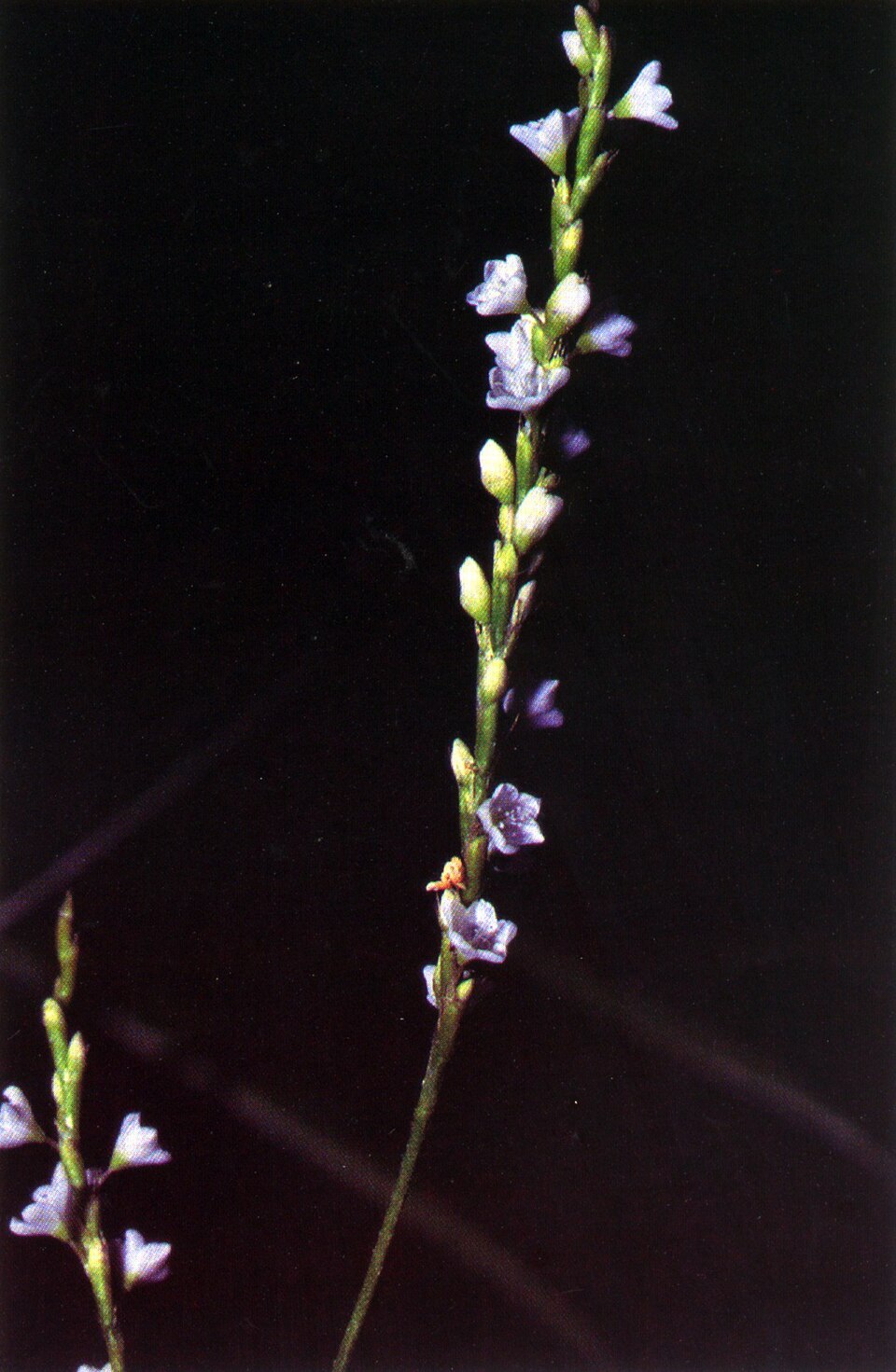
- Dwarf ArrowheadSagittaria subulata
- Saltmarsh CordgrassSpartina alterniflora
- Saltmeadow CordgrassSpartina patens
- Sensitive JointvetchAeschynomene virginica
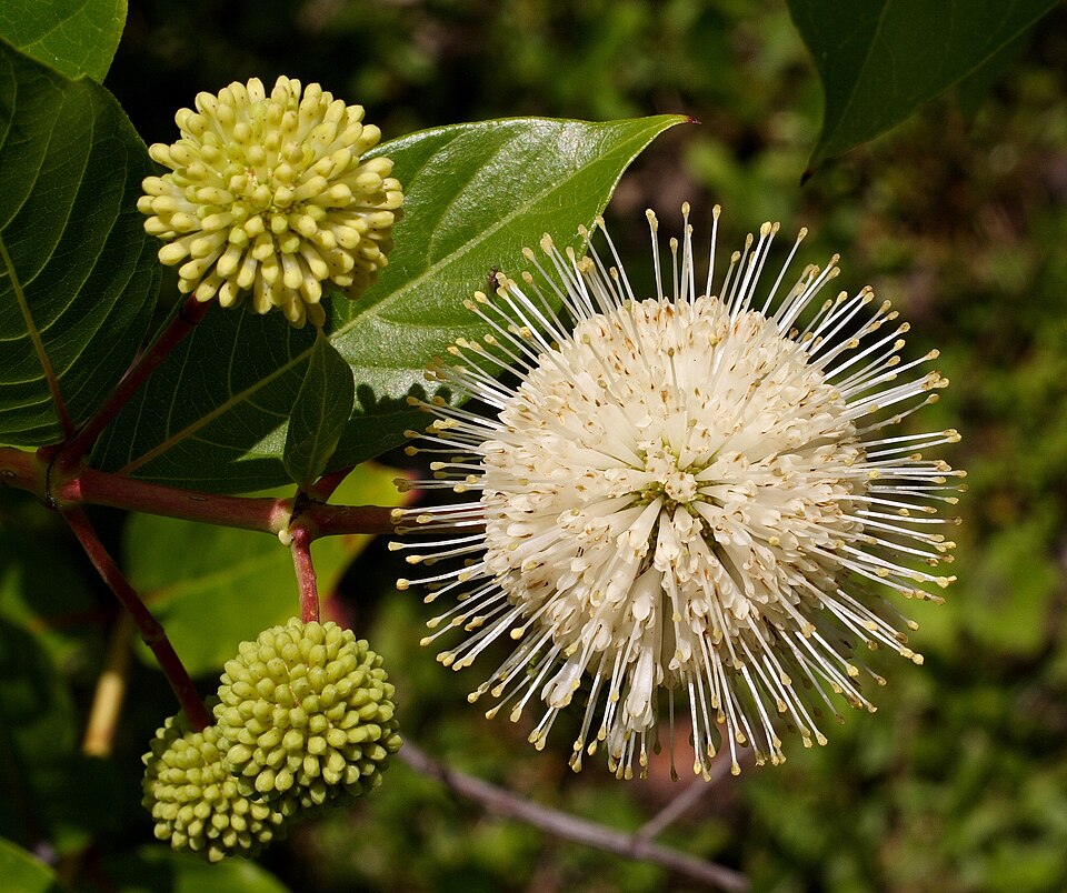
- ButtonbushCephalanthus occidentalis
- Twig-rushCladium mariscoides
- Seashore SaltgrassDistichlis spicata
- Dwarf SpikerushEleocharis parvula
- Beaked SpikerushEleocharis rostellata
- Swamp RosemallowHibiscus moscheutos
- Shore QuillwortIsoetes riparia
- Black NeedlerushJuncus roemerianus
- Narrowleaf Pond-lilyNuphar sagittifolia

Wildlife 247
Other animals whose habitat models include the same habitats in Virginia. Not sighting records.
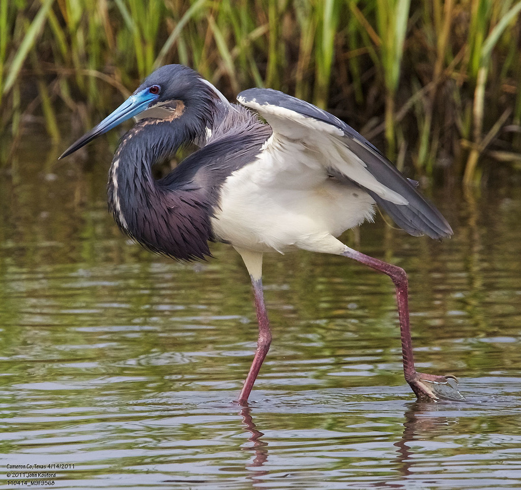
- Tricolored HeronEgretta tricolor
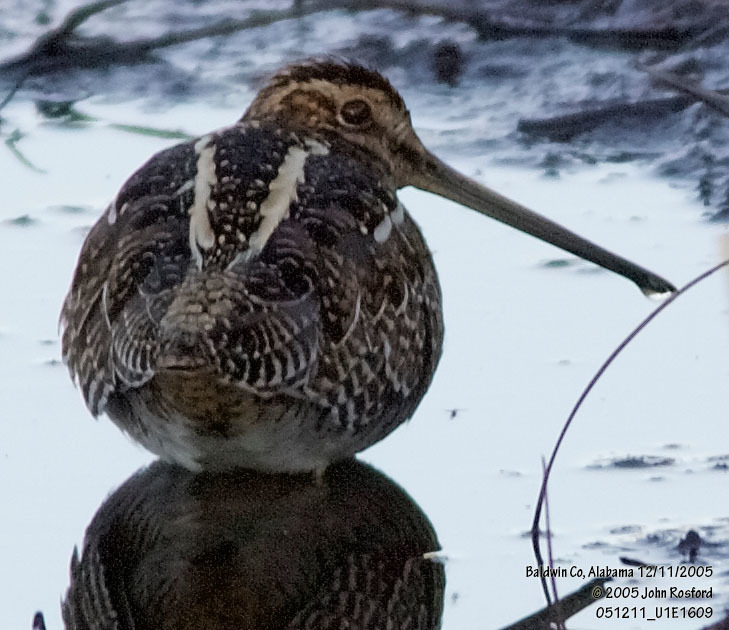
- Wilson's SnipeGallinago delicata
- American GoldfinchCarduelis tristis
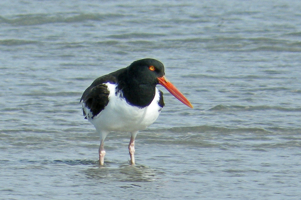
- American OystercatcherHaematopus palliatus
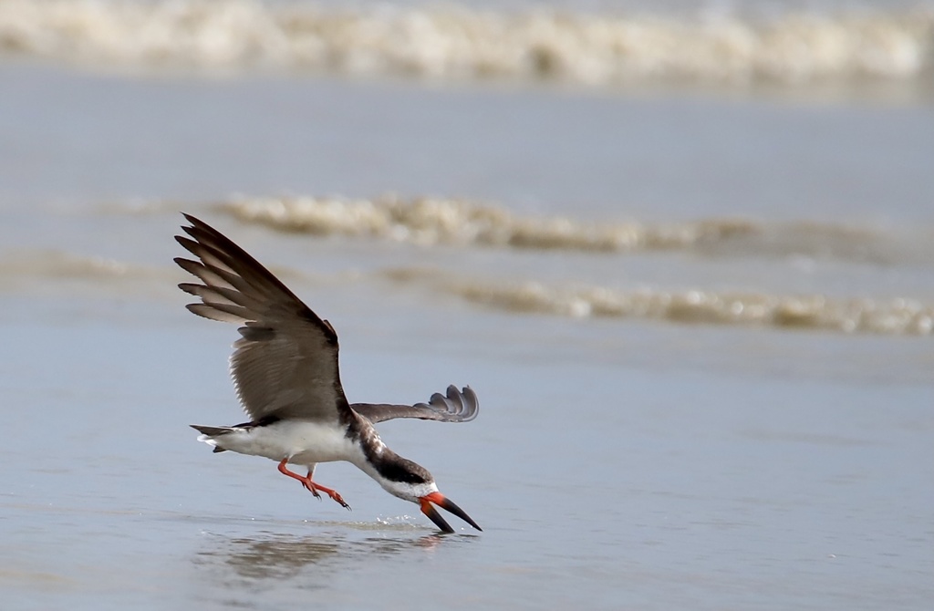
- Black SkimmerRynchops niger
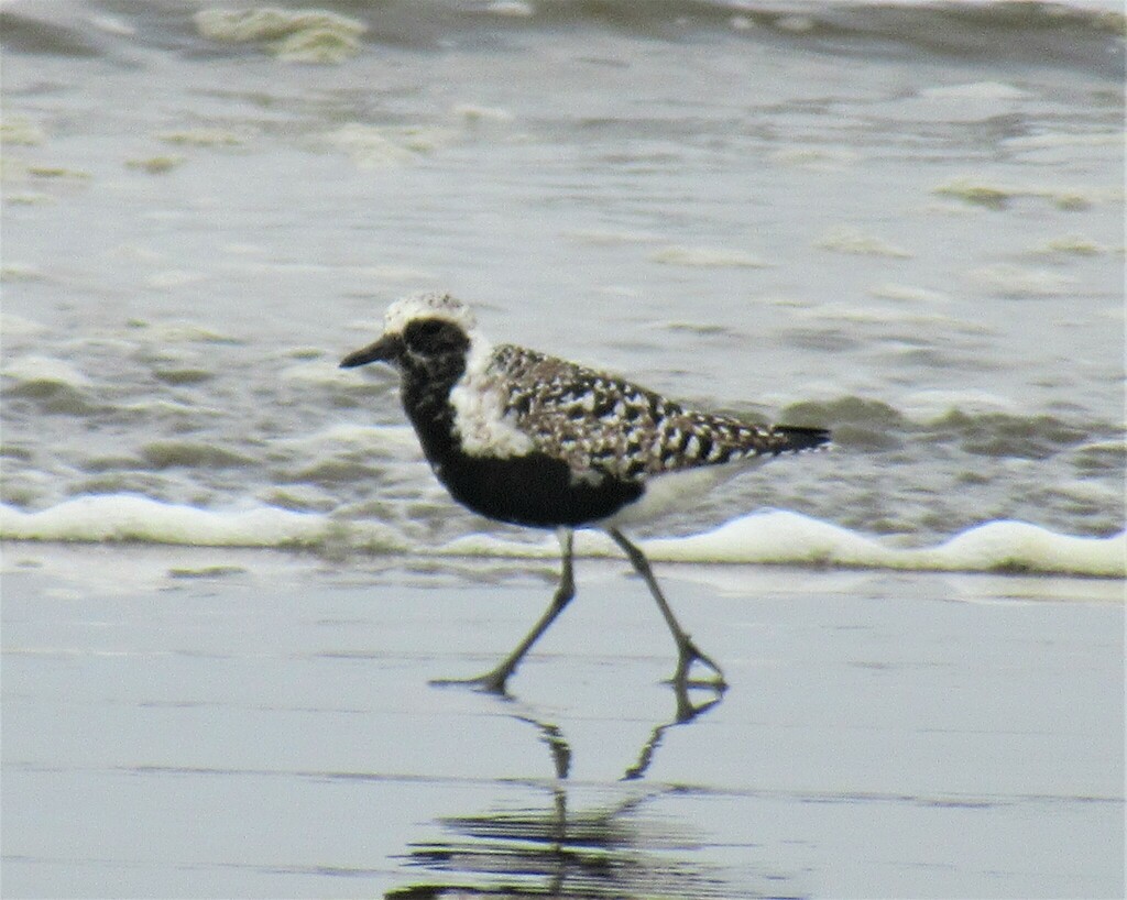
- Black-bellied PloverPluvialis squatarola
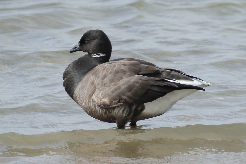
- BrantBranta bernicla
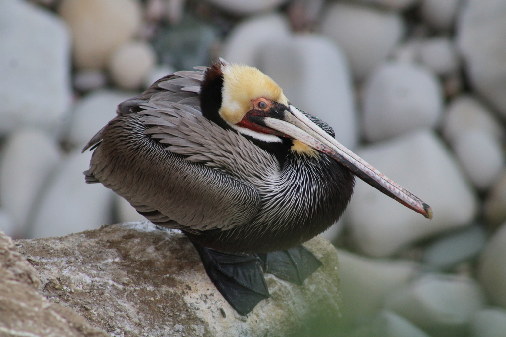
- Brown PelicanPelecanus occidentalis
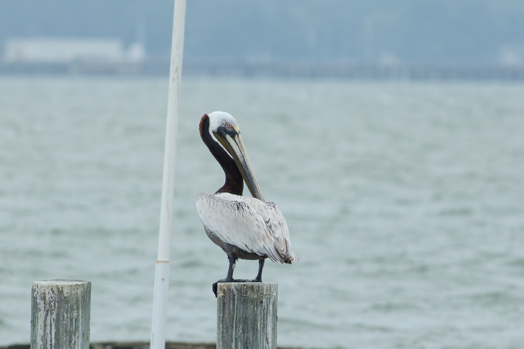
- Eastern Brown PelicanPelecanus occidentalis carolinensis
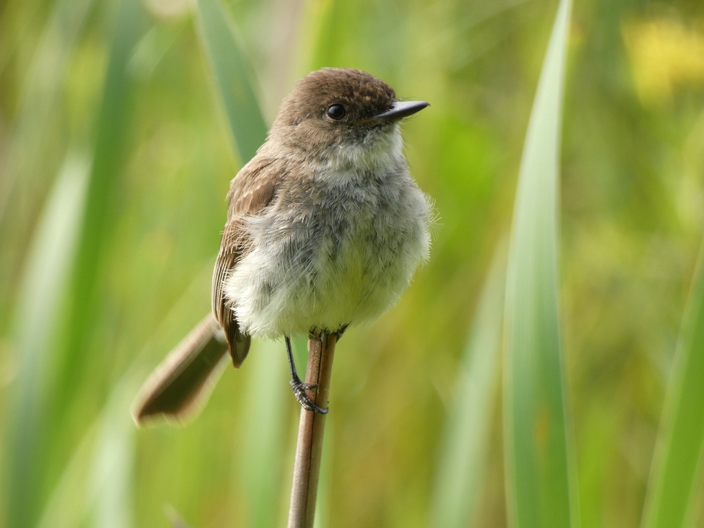
- Eastern PhoebeSayornis phoebe
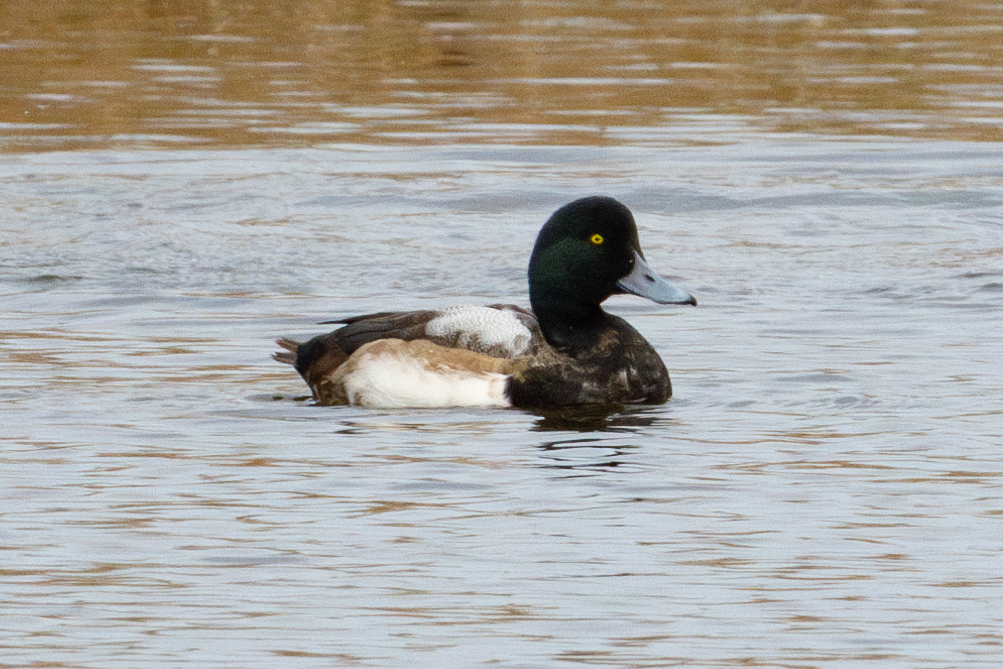
- Greater ScaupAythya marila
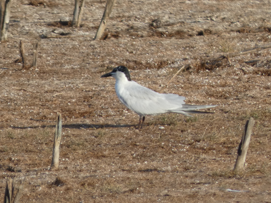
- Gull-billed TernGelochelidon nilotica
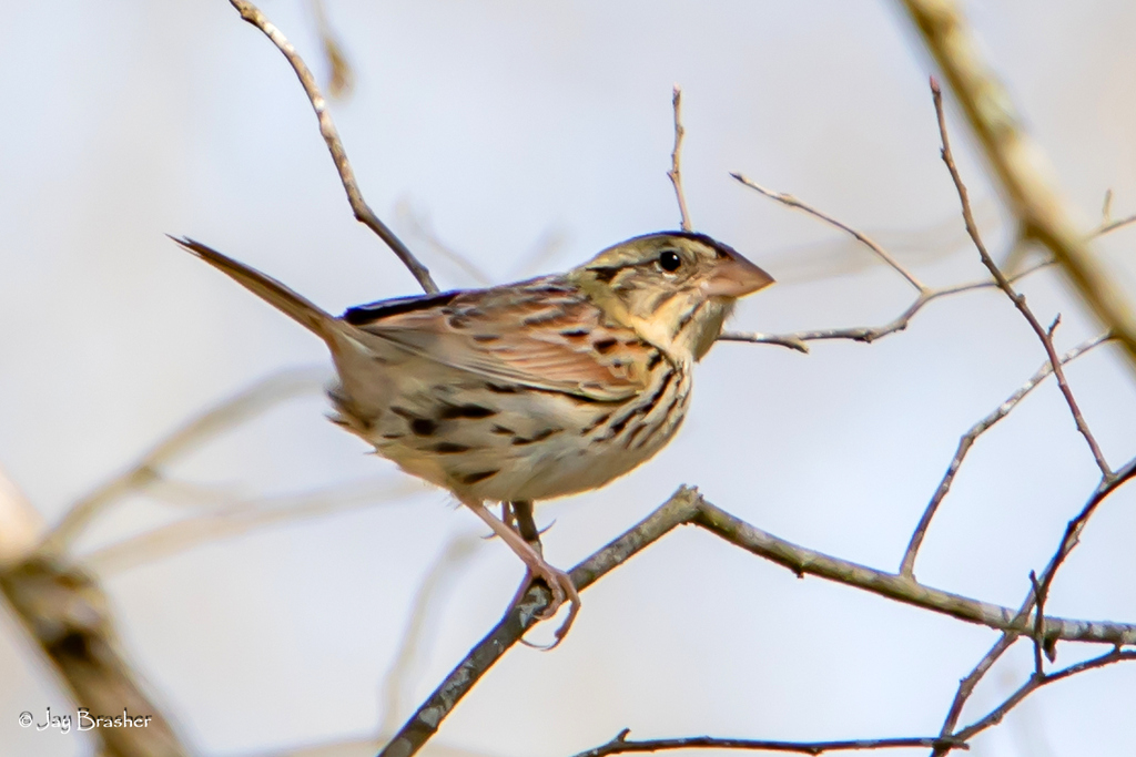
- Henslow's SparrowAmmodramus henslowii
- KilldeerCharadrius vociferus
- Lapland LongspurCalcarius lapponicus
- Long-billed DowitcherLimnodromus scolopaceus
- Purple MartinProgne subis
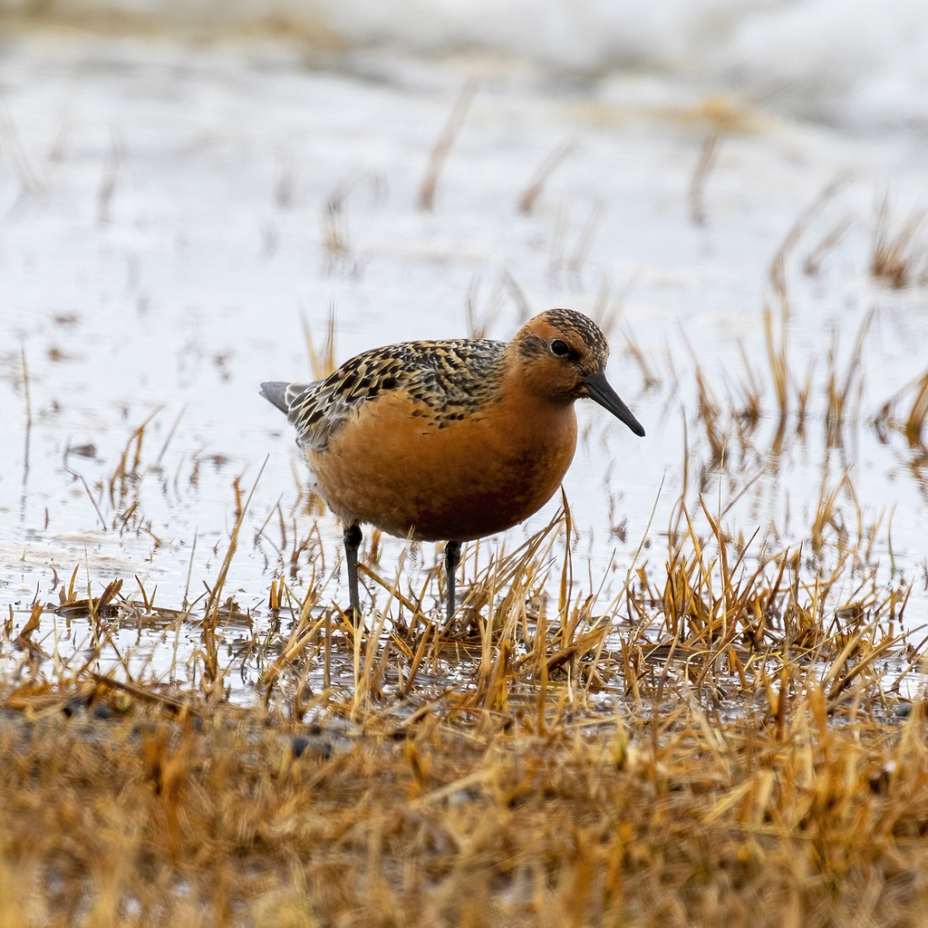
- Red KnotCalidris canutus
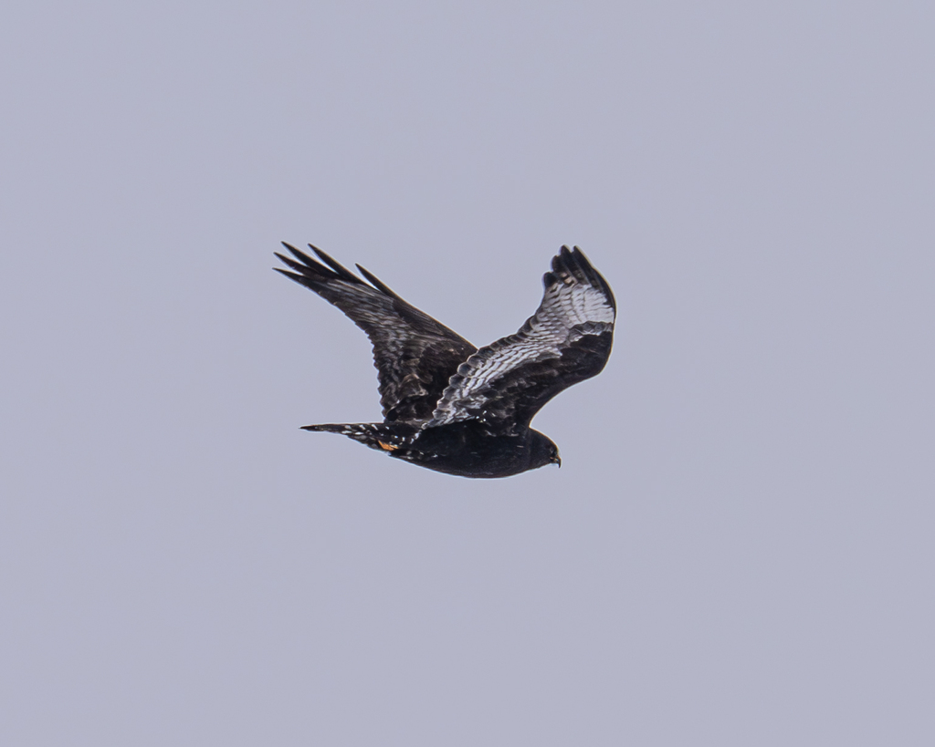
- Rough-legged HawkButeo lagopus
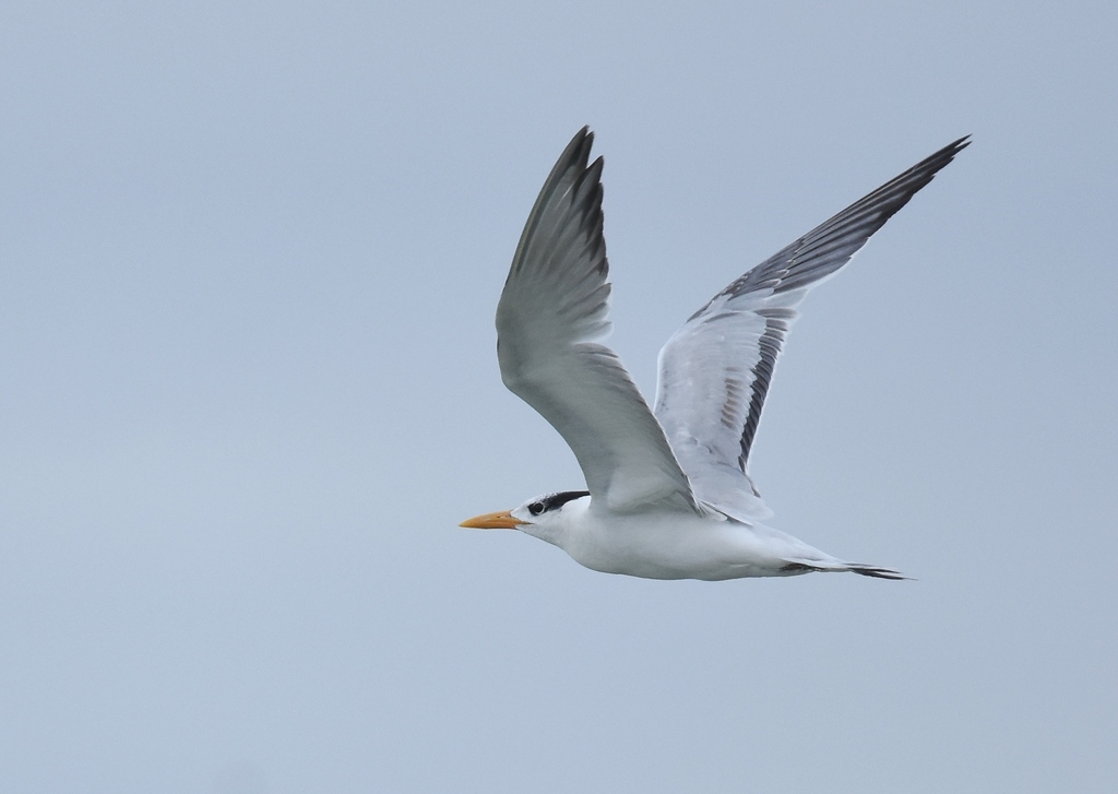
- Royal TernThalasseus maximus
- Western SandpiperCalidris mauri
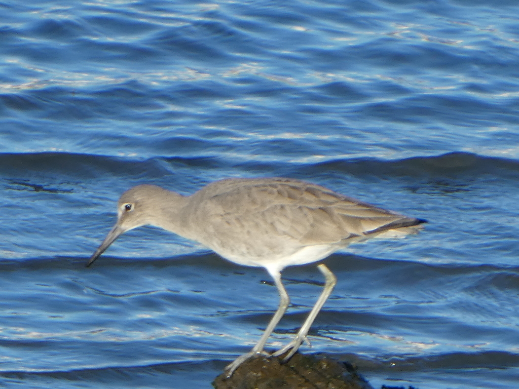
- WilletTringa semipalmata
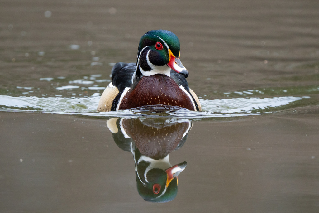
- Wood DuckAix sponsa
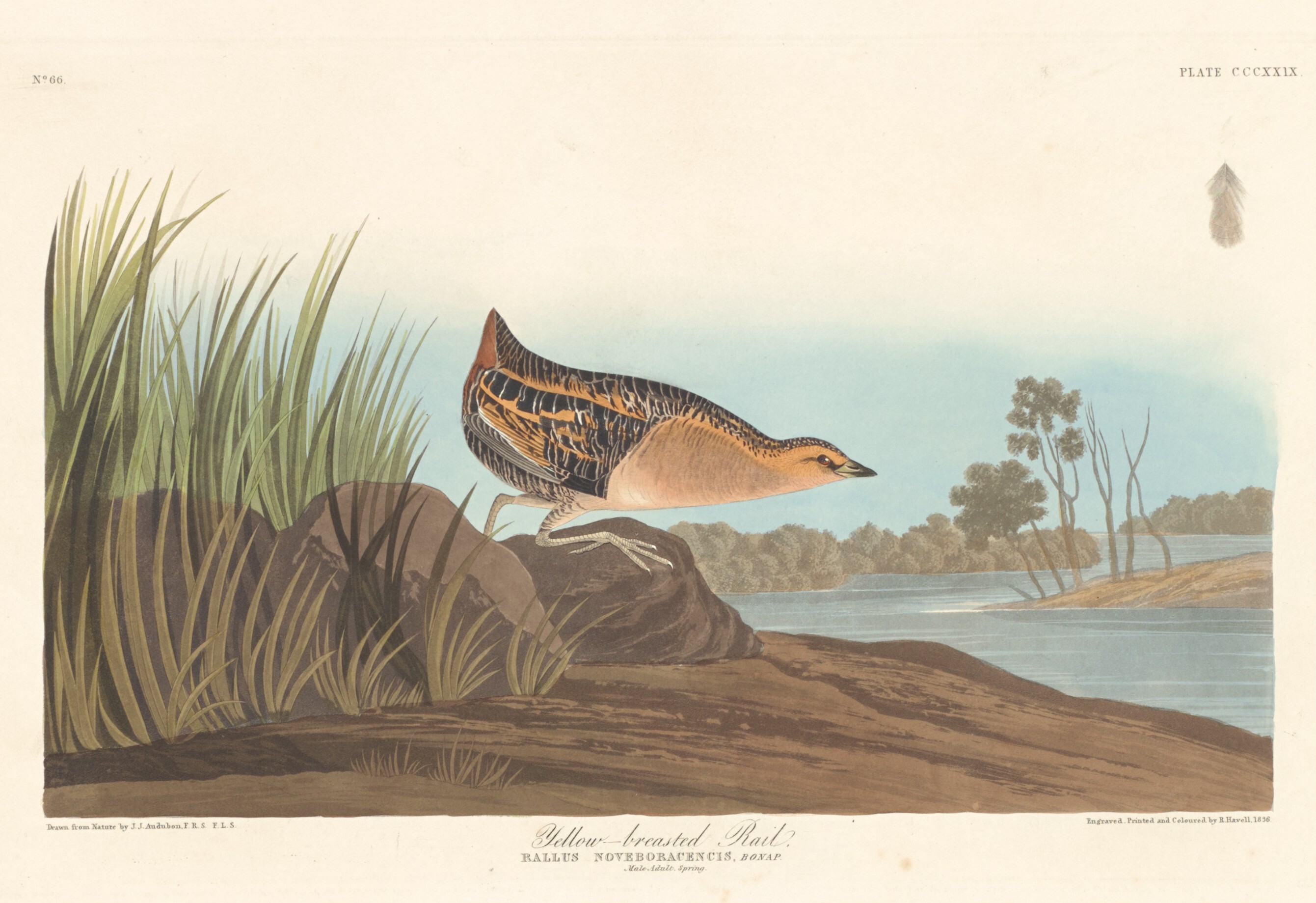
- Yellow RailCoturnicops noveboracensis

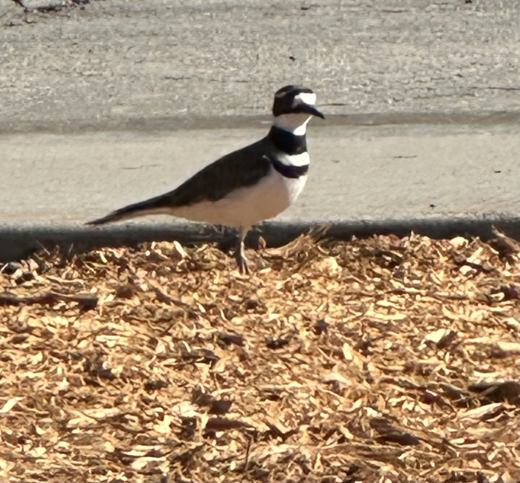
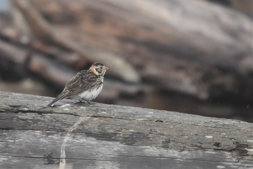
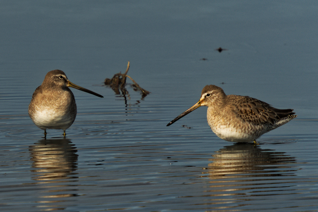
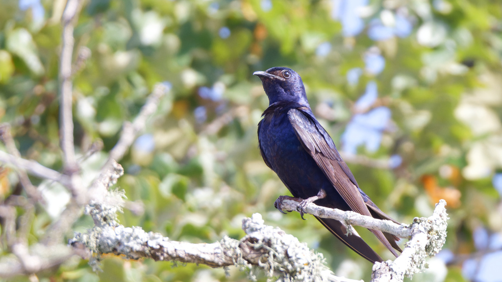


NatureServe Explorer, CC BY 4.0. USGS Gap Analysis Project habitat models.
Sources
- USGS Gap Analysis Project habitat models (2001)
- USGS GAP winter habitat model for Ring-billed Gull
- USGS Gap Analysis Project range maps (2001), modeled by watershed; migratory gives no dates
- NatureServe Explorer (CC BY 4.0), habitat names
- US Census TIGER/Line counties
- Names follow the USGS Gap Analysis Project (2001)