

Bird
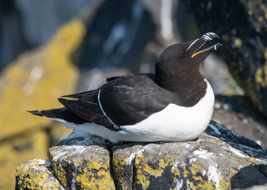
Razorbill
Alca torda
A winter visitor to Virginia, found in 5 of 133 counties and cities and 1 habitat.
- Here
- Winter
- Nesting
- Not known to nest here
- Range
- 5 of 133 counties and cities
- Habitats
- 1
At a glance
- Group
- Birds
- Here
- Winter
- Nesting
- Not known to nest here
- Range
- 5 of 133 counties and cities
- Habitats
- 1
- Habitat models
- Winter
Where it lives
The places its habitat model includes. It is not found everywhere a habitat occurs.
Habitats in Virginia 1
Each habitat page lists the plants and wildlife also found there.
Salt and brackish open water of sounds, bays and estuaries, with the mud and sand flats and seagrass beds that tides cover and uncover; the vegetated marsh is salt and brackish marshes.
Seasons in Virginia
- Winter: does not nest here, in 5 of 133 counties and cities.
Also found in this habitat
Wildlife 92
Other animals whose habitat models include the same habitats in Virginia. Not sighting records.
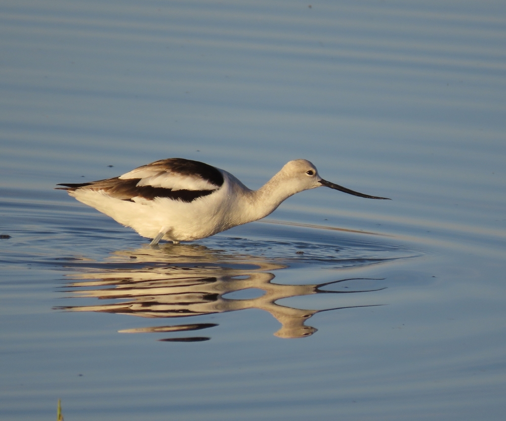
- American AvocetRecurvirostra americana
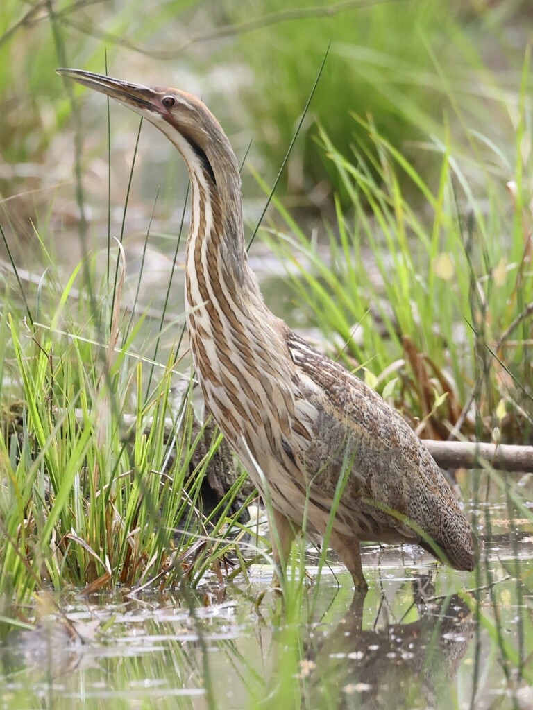
- American BitternBotaurus lentiginosus
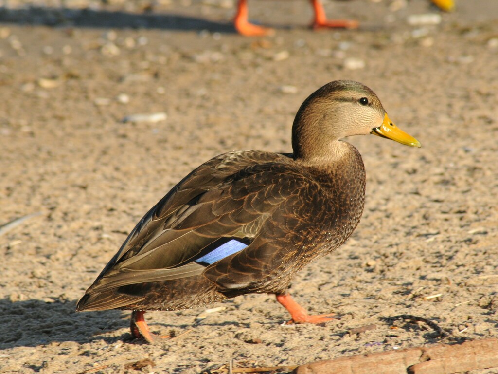
- American Black DuckAnas rubripes
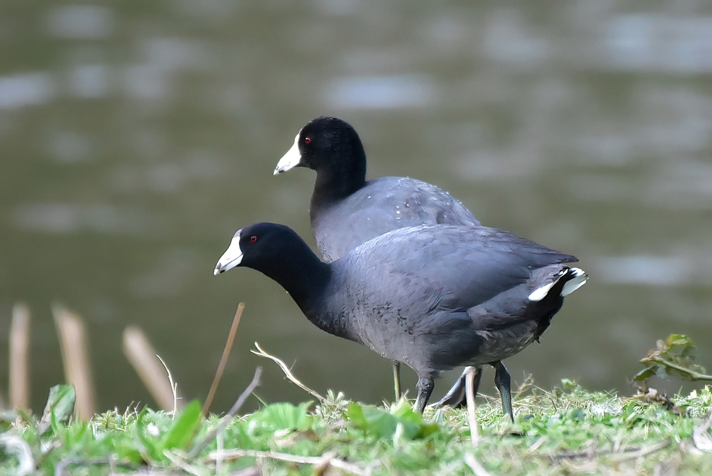
- American CootFulica americana
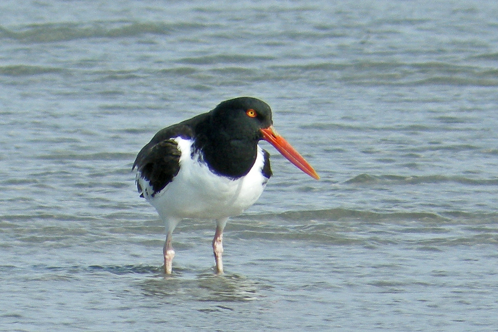
- American OystercatcherHaematopus palliatus
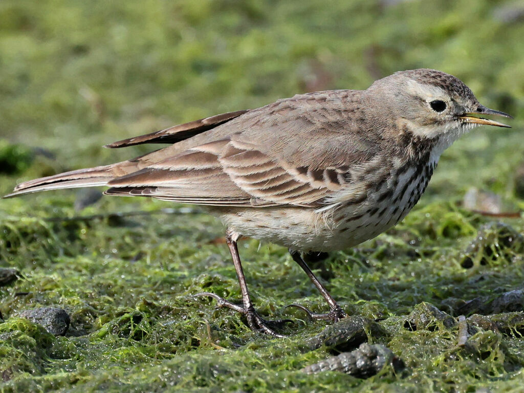
- American PipitAnthus rubescens
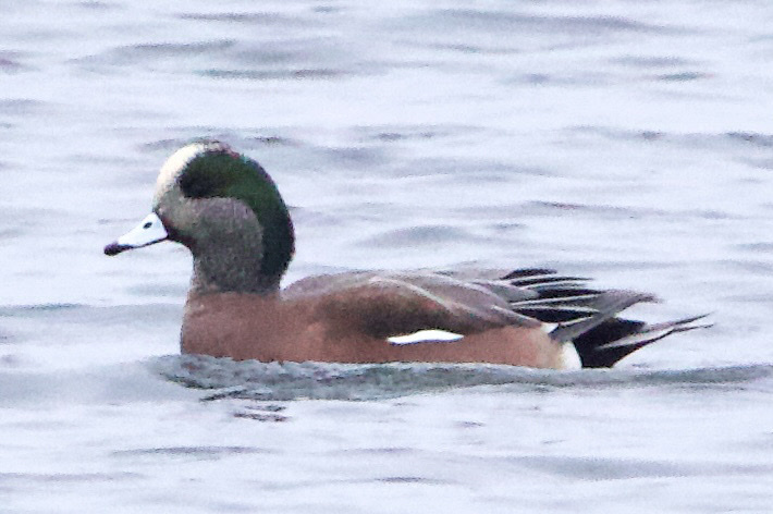
- American WigeonAnas americana
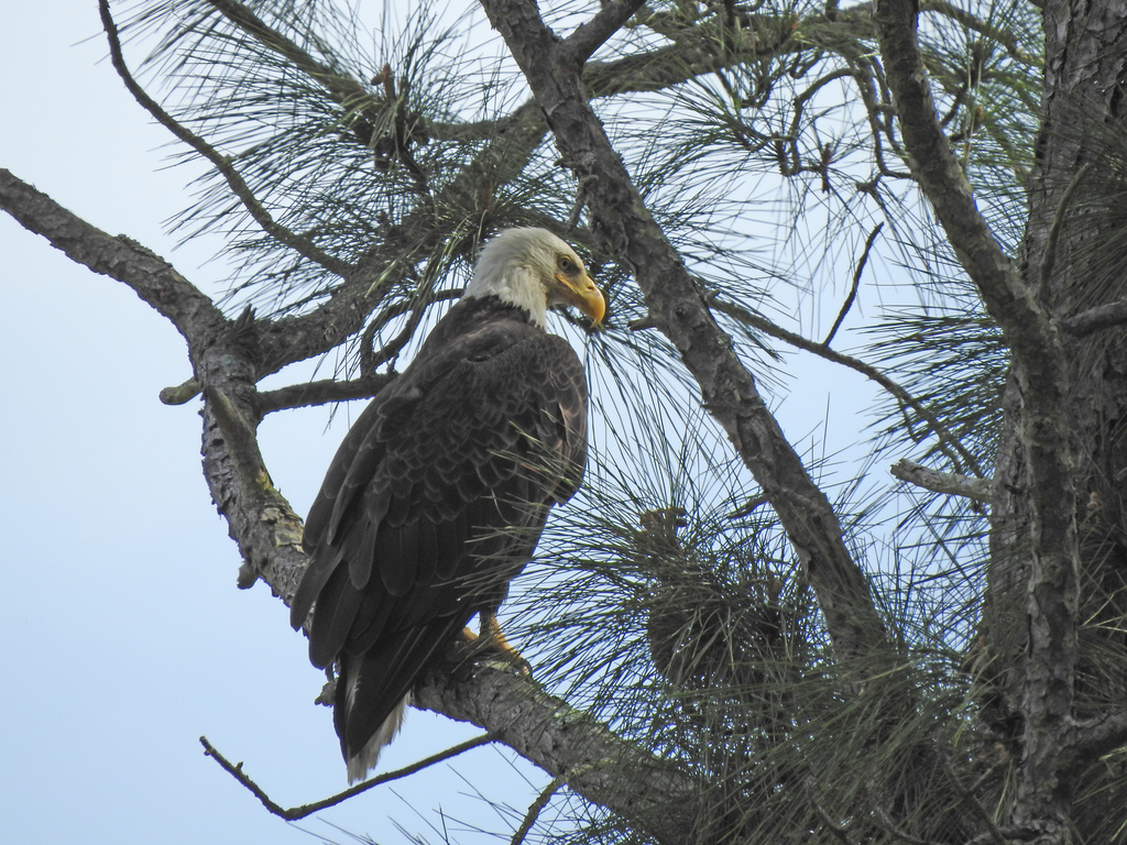
- Bald EagleHaliaeetus leucocephalus
- Bank SwallowRiparia riparia
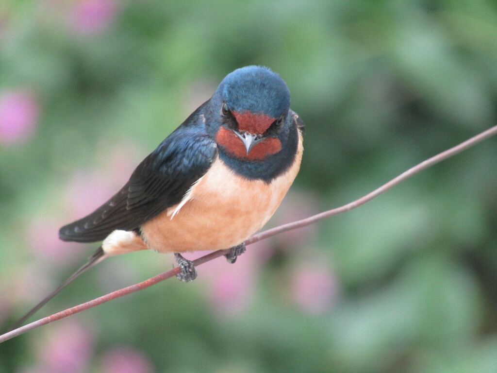
- Barn SwallowHirundo rustica
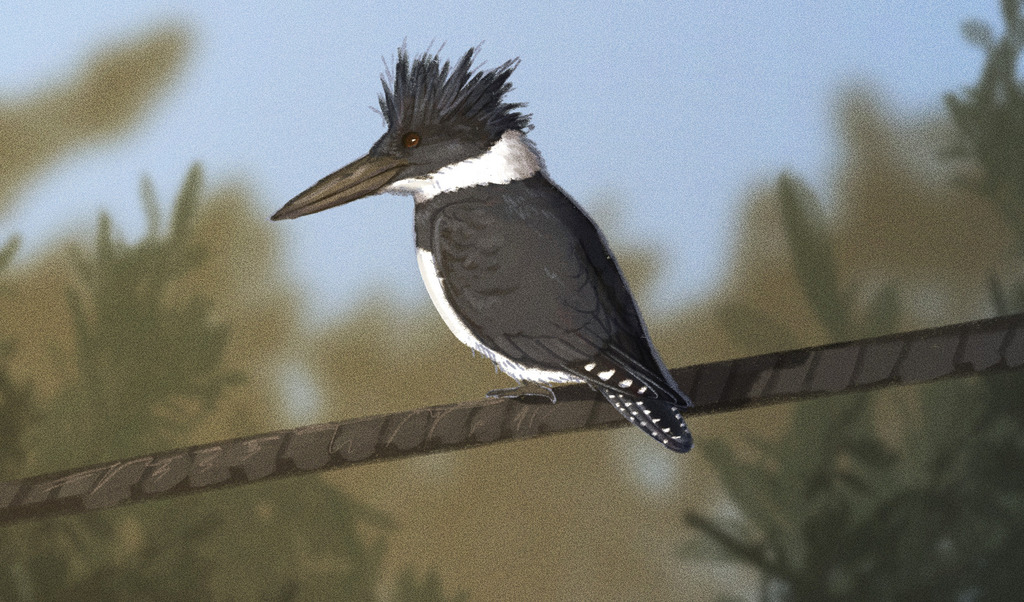
- Belted KingfisherMegaceryle alcyon
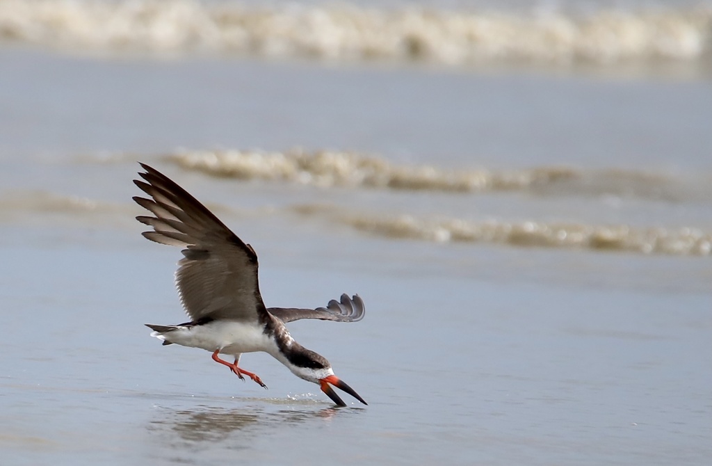
- Black SkimmerRynchops niger
- Black-crowned Night-heronNycticorax nycticorax
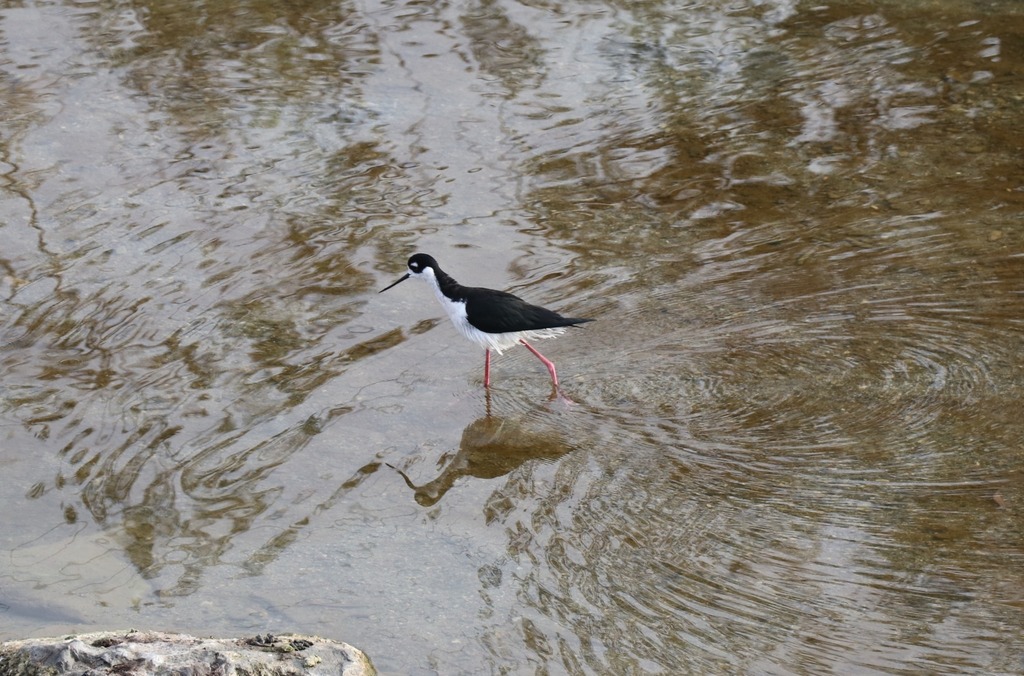
- Black-necked StiltHimantopus mexicanus
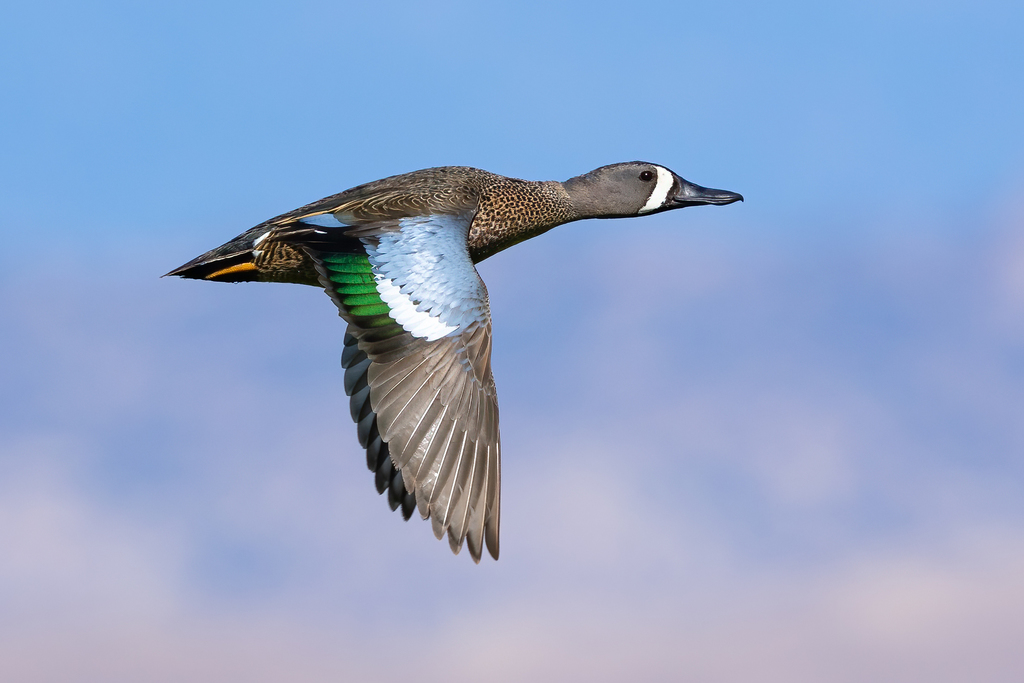
- Blue-winged TealAnas discors
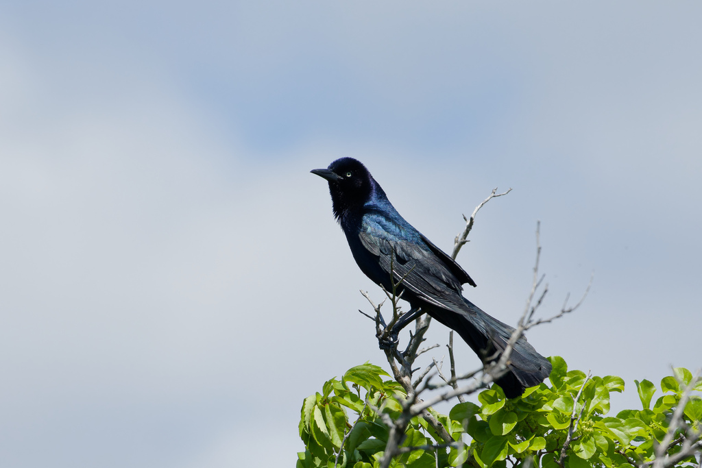
- Boat-tailed GrackleQuiscalus major
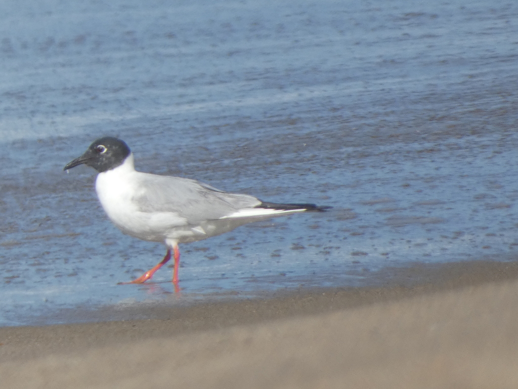
- Bonaparte's GullChroicocephalus philadelphia
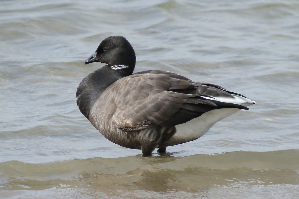
- BrantBranta bernicla
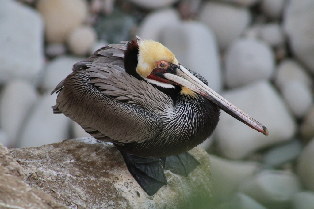
- Brown PelicanPelecanus occidentalis
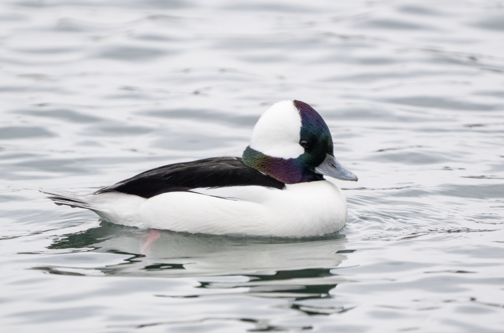
- BuffleheadBucephala albeola
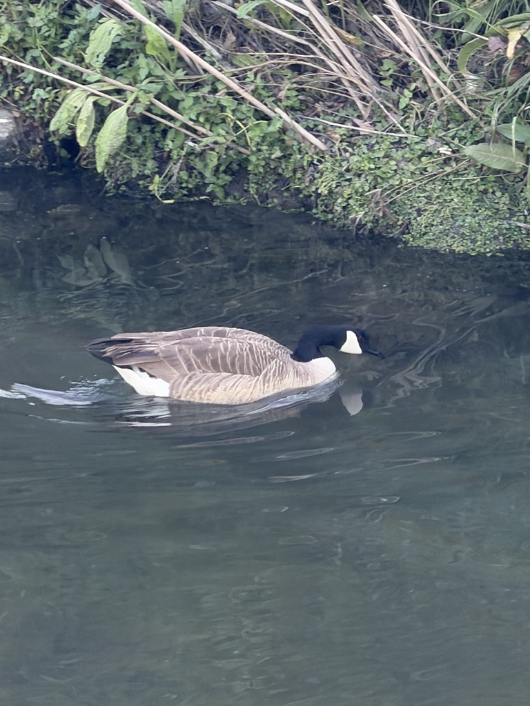
- Canada GooseBranta canadensis
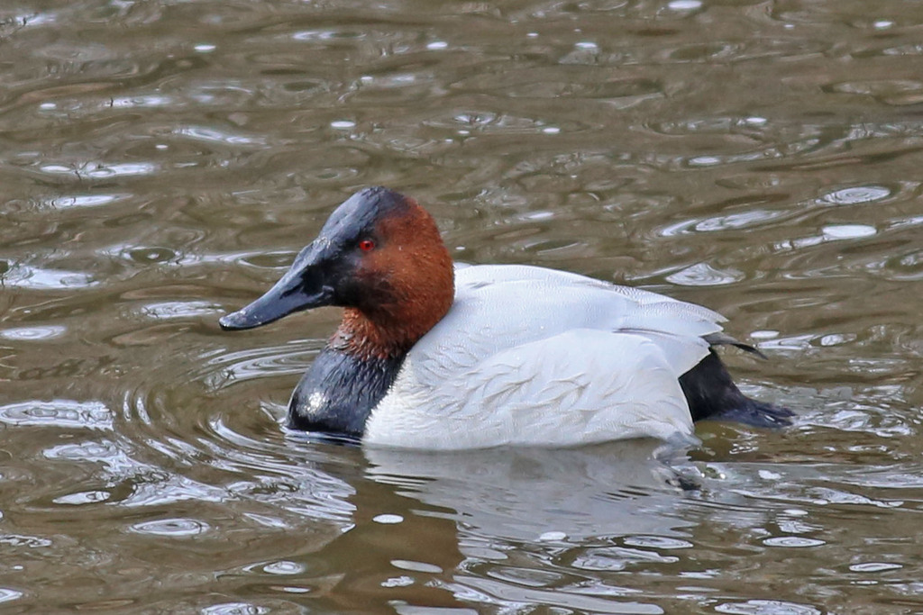
- CanvasbackAythya valisineria
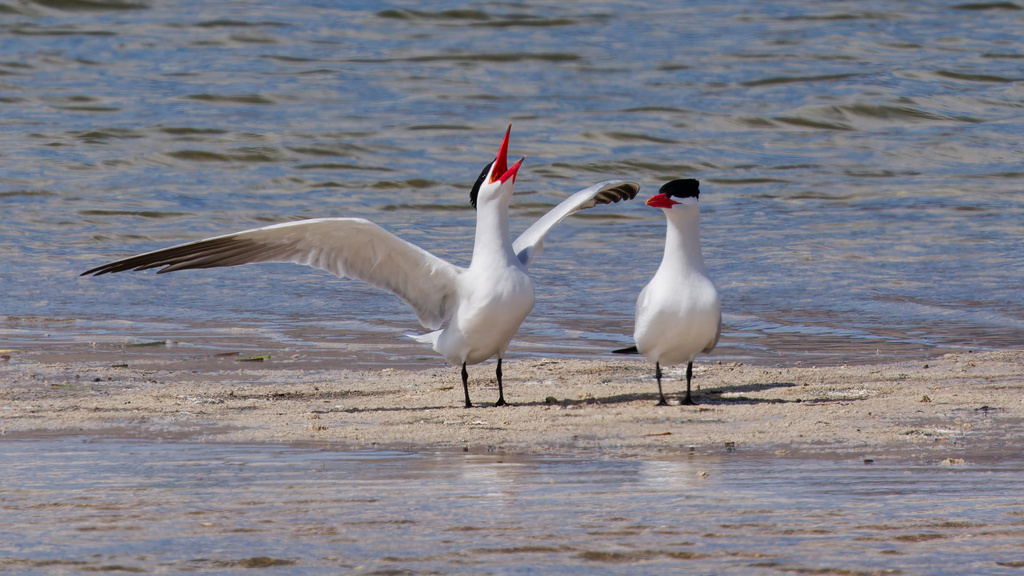
- Caspian TernHydroprogne caspia
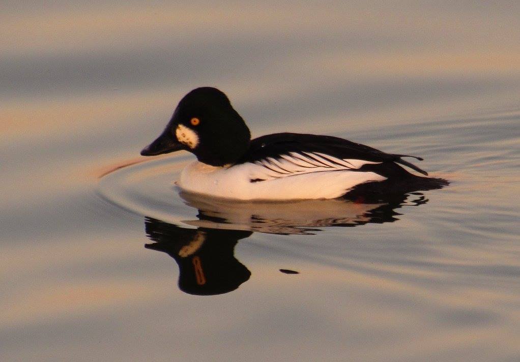
- Common GoldeneyeBucephala clangula


NatureServe Explorer, CC BY 4.0. USGS Gap Analysis Project habitat models.
Sources
- USGS Gap Analysis Project habitat models (2001)
- USGS GAP winter habitat model for Razorbill Brackish or salt water only
- USGS Gap Analysis Project range maps (2001), modeled by watershed; migratory gives no dates
- NatureServe Explorer (CC BY 4.0), habitat names
- US Census TIGER/Line counties
- Names follow the USGS Gap Analysis Project (2001)