

Bird
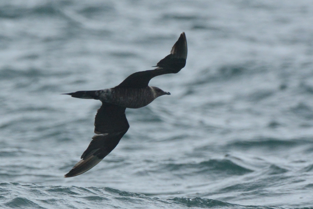
Parasitic Jaeger
Stercorarius parasiticus
Passes through Virginia on migration. Found in 33 of 133 counties and cities, across 1 habitat.
- Here
- On migration
- Nesting
- Not known to nest here
- Range
- 33 of 133 counties and cities
- Habitats
- 1
At a glance
- Group
- Birds
- Here
- On migration
- Nesting
- Not known to nest here
- Range
- 33 of 133 counties and cities
- Habitats
- 1
- Habitat models
- Winter
Where it lives
The places its habitat model includes. It is not found everywhere a habitat occurs.
Habitats in Virginia 1
Each habitat page lists the plants and wildlife also found there.
Salt and brackish open water of sounds, bays and estuaries, with the mud and sand flats and seagrass beds that tides cover and uncover; the vegetated marsh is salt and brackish marshes.
Seasons in Virginia
- Migratory: does not nest here, in 33 of 133 counties and cities.
Also found in this habitat
Wildlife 92
Other animals whose habitat models include the same habitats in Virginia. Not sighting records.
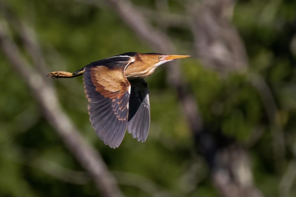
- Least BitternIxobrychus exilis
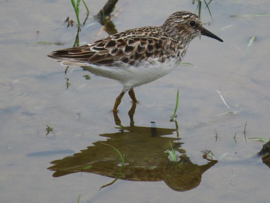
- Least SandpiperCalidris minutilla
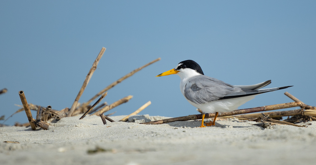
- Least TernSternula antillarum
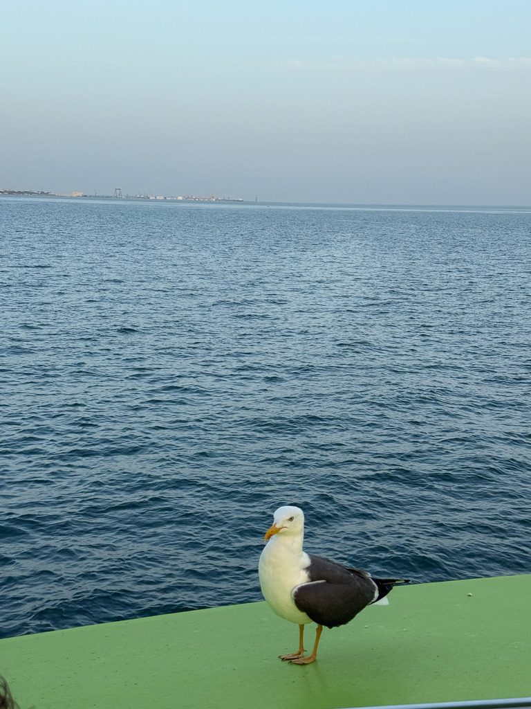
- Lesser Black-backed GullLarus fuscus
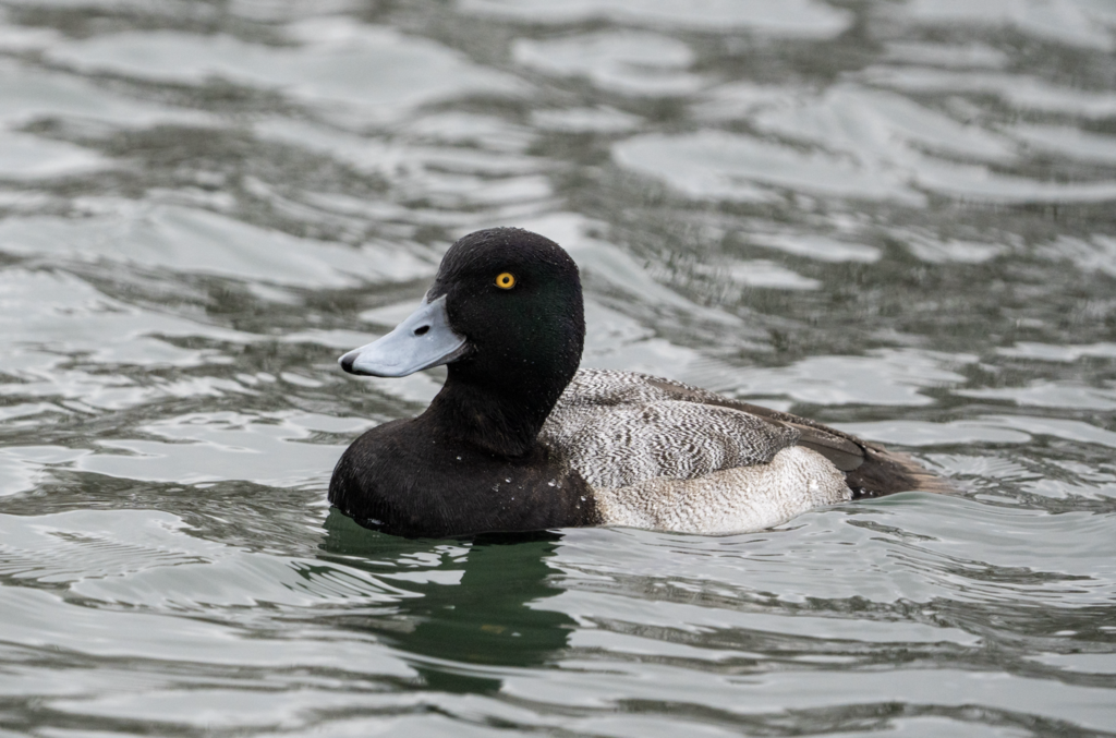
- Lesser ScaupAythya affinis
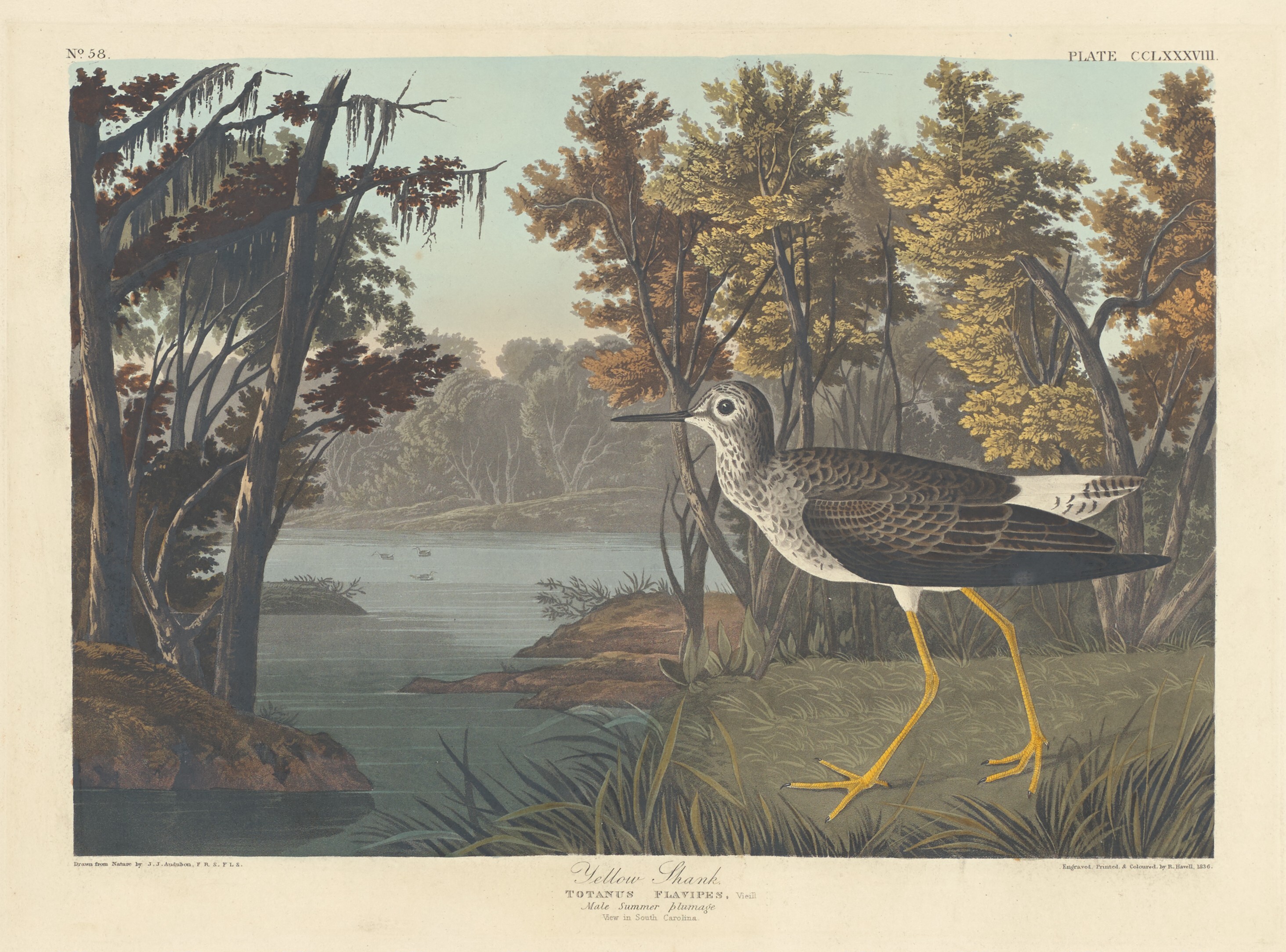
- Lesser YellowlegsTringa flavipes
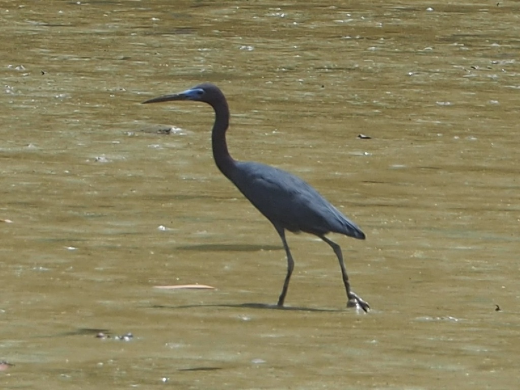
- Little Blue HeronEgretta caerulea
- Little GullHydrocoloeus minutus
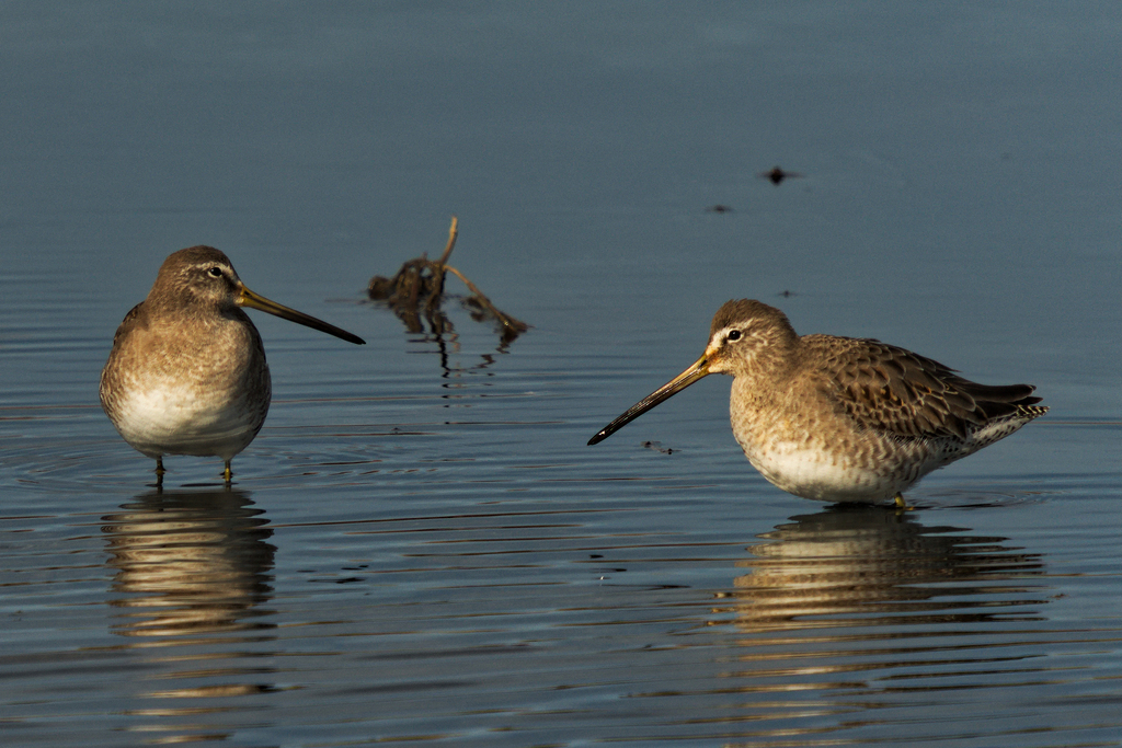
- Long-billed DowitcherLimnodromus scolopaceus
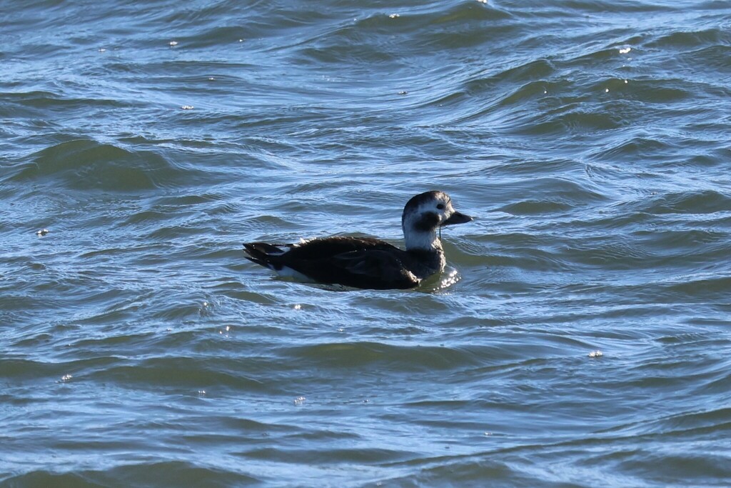
- Long-tailed DuckClangula hyemalis
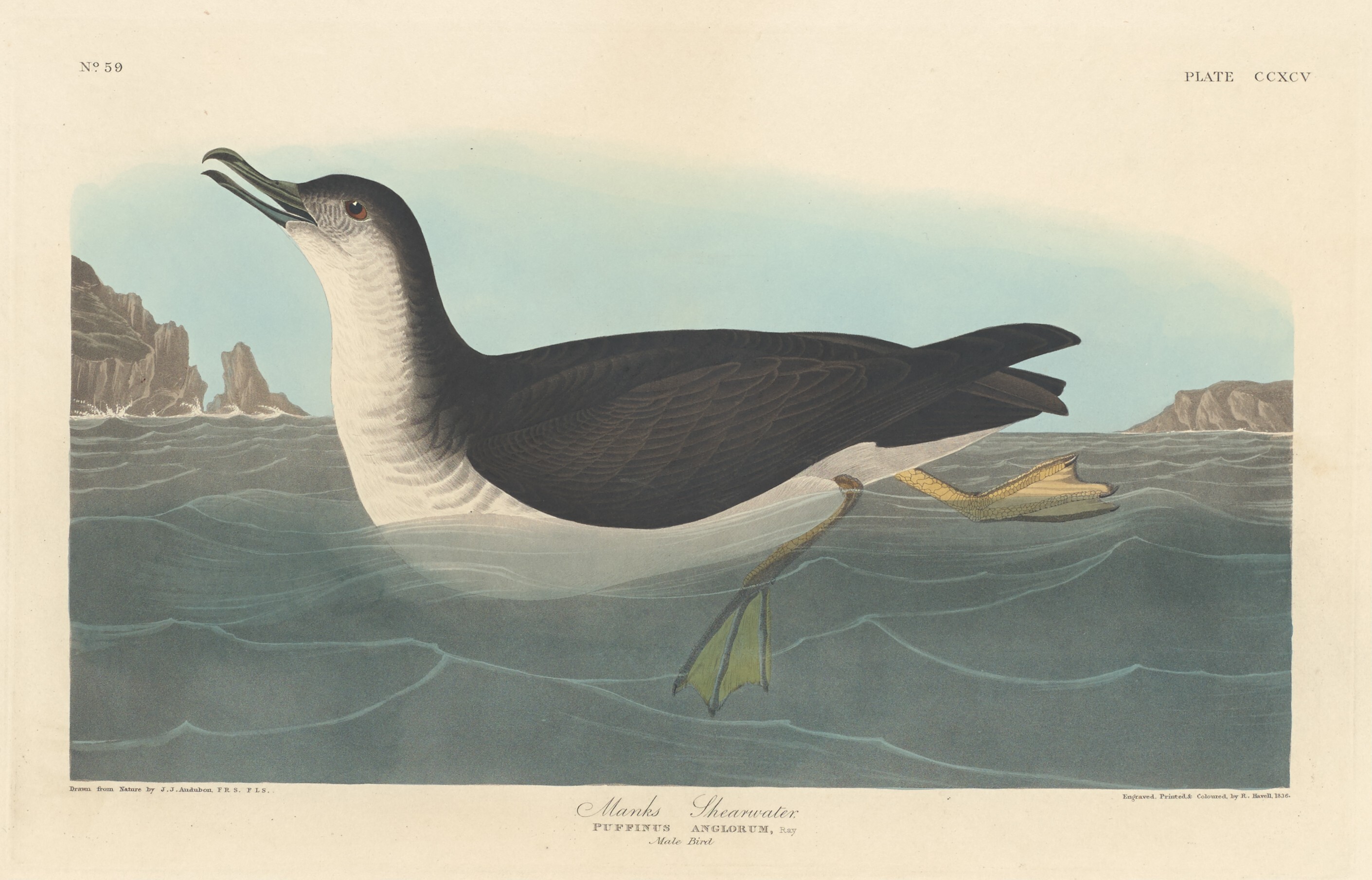
- Manx ShearwaterPuffinus puffinus
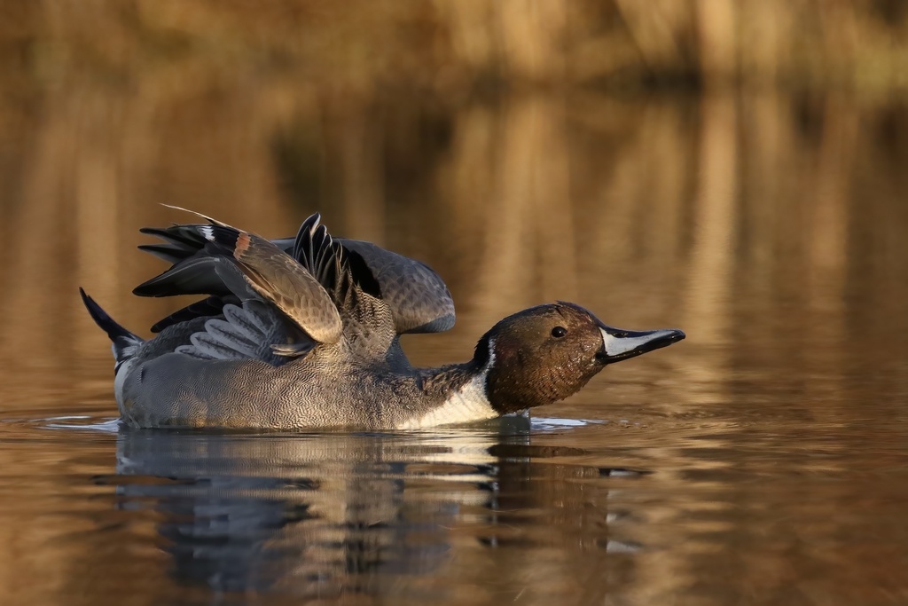
- Northern PintailAnas acuta
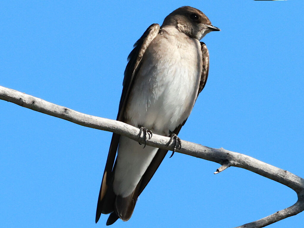
- Northern Rough-winged SwallowStelgidopteryx serripennis
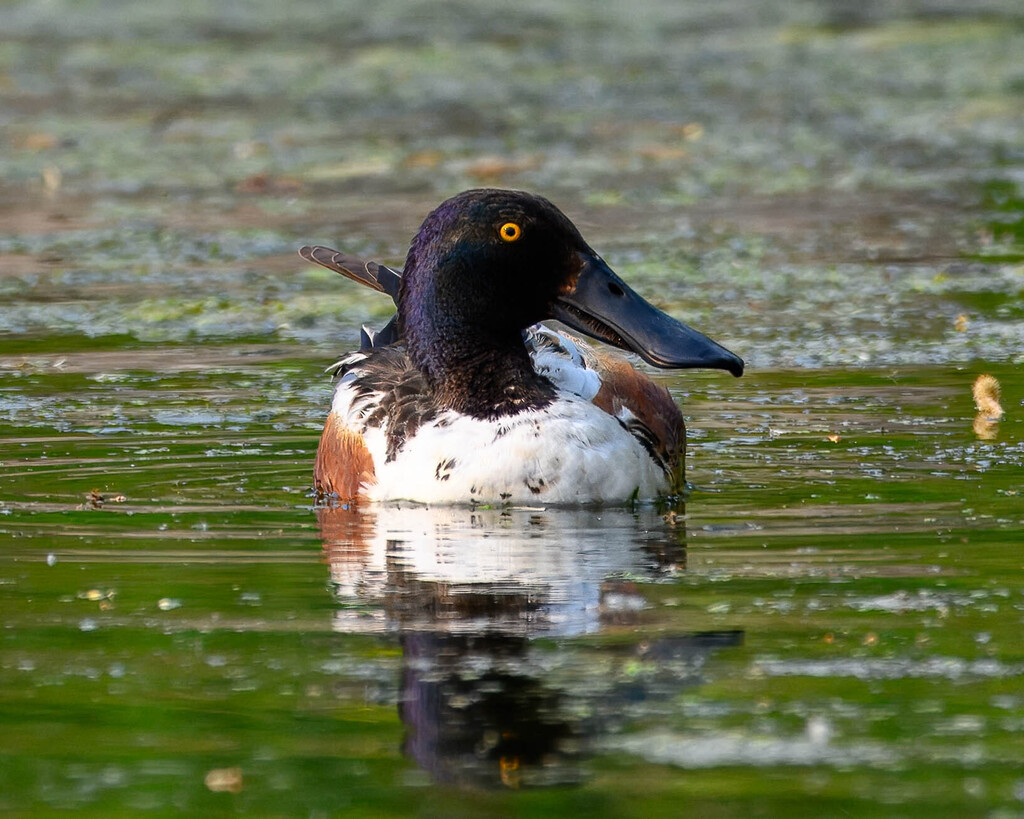
- Northern ShovelerAnas clypeata
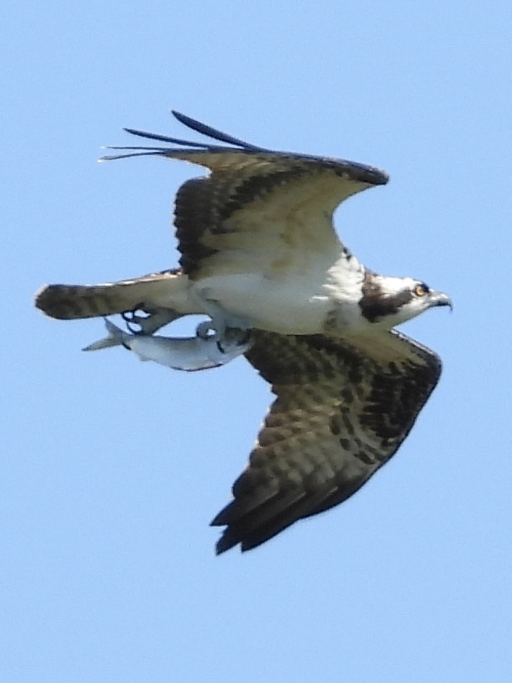
- OspreyPandion haliaetus
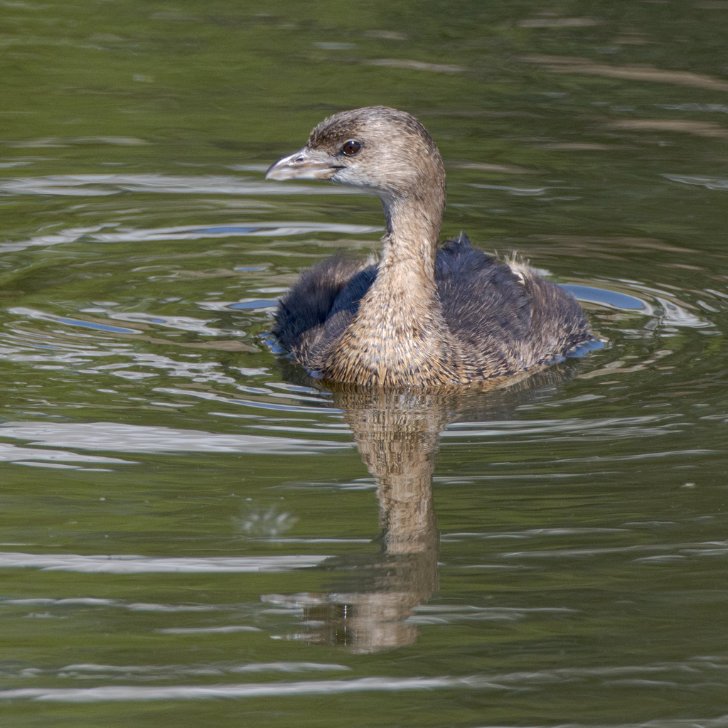
- Pied-billed GrebePodilymbus podiceps
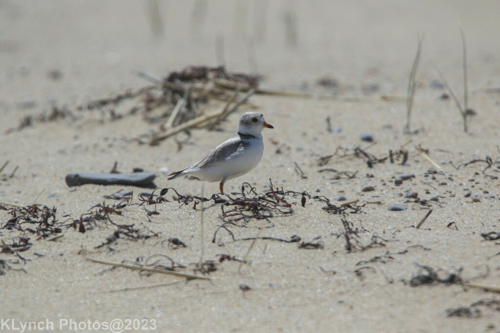
- Piping PloverCharadrius melodus
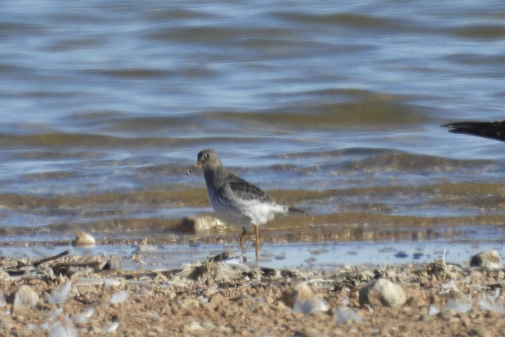
- Purple SandpiperCalidris maritima
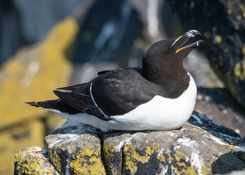
- RazorbillAlca torda
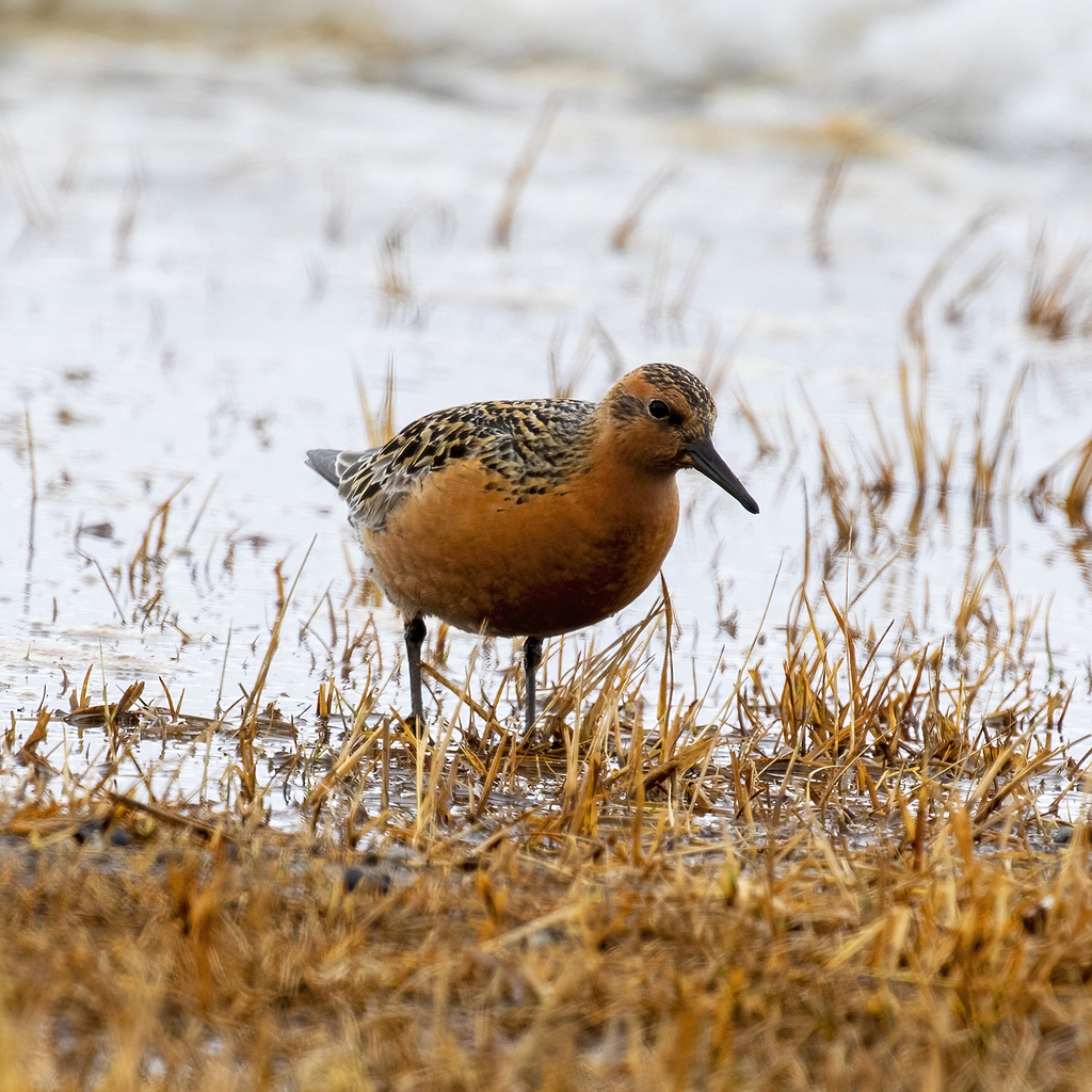
- Red KnotCalidris canutus
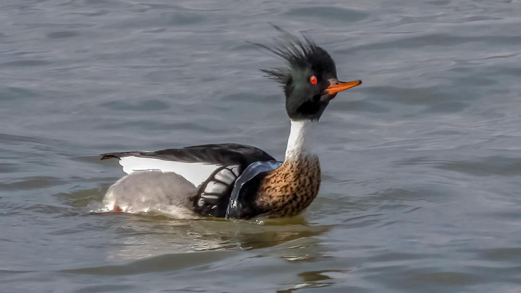
- Red-breasted MerganserMergus serrator
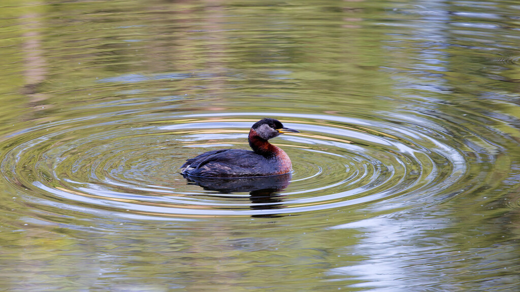
- Red-necked GrebePodiceps grisegena
- Red-throated LoonGavia stellata
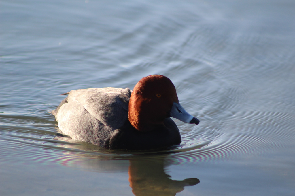
- RedheadAythya americana

NatureServe Explorer, CC BY 4.0. USGS Gap Analysis Project habitat models.
Sources
- USGS Gap Analysis Project habitat models (2001)
- USGS GAP winter habitat model for Parasitic Jaeger
- USGS Gap Analysis Project range maps (2001), modeled by watershed; migratory gives no dates
- NatureServe Explorer (CC BY 4.0), habitat names
- US Census TIGER/Line counties
- Names follow the USGS Gap Analysis Project (2001)