

Bird
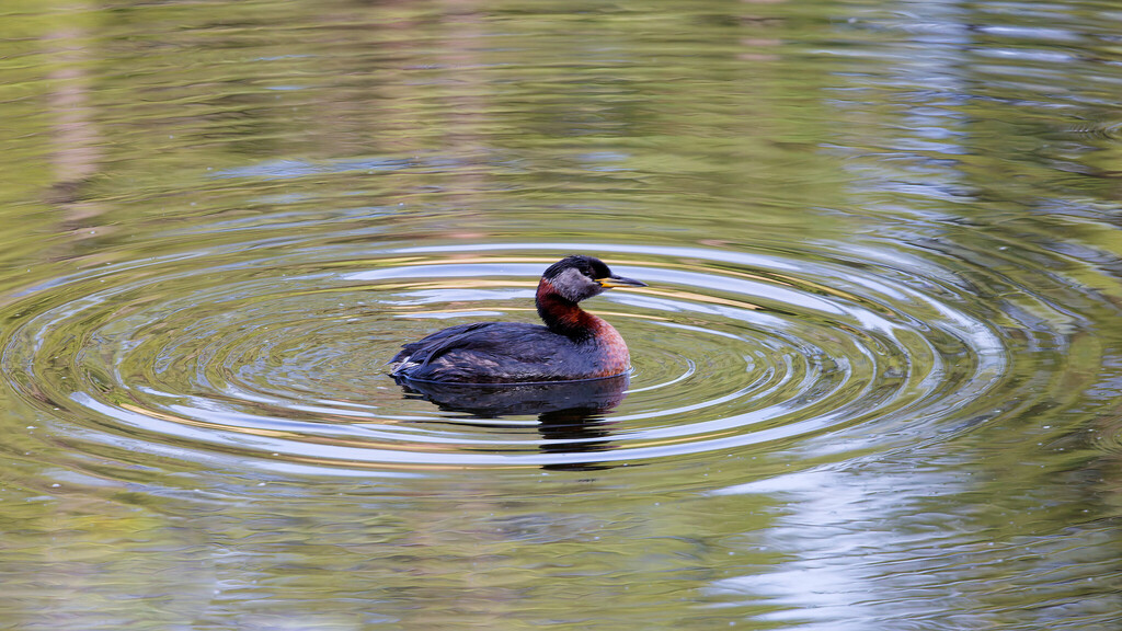
Red-necked Grebe
Podiceps grisegena
A winter visitor to Virginia, found in 9 of 133 counties and cities and 7 habitats.
- Here
- Winter
- Nesting
- Not known to nest here
- Range
- 9 of 133 counties and cities
- Habitats
- 7
At a glance
- Group
- Birds
- Here
- Winter
- Nesting
- Not known to nest here
- Range
- 9 of 133 counties and cities
- Habitats
- 7
- Habitat models
- Winter
Where it lives
The places its habitat model includes. It is not found everywhere a habitat occurs.
Habitats in Virginia 7
Each habitat page lists the plants and wildlife also found there.
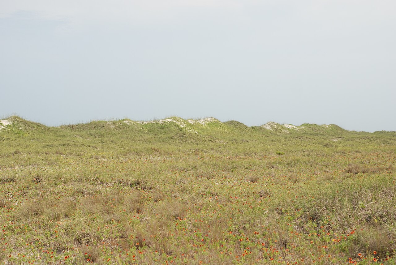
Depression ponds and limesinks
Shallow ponds in Coastal Plain depressions, such as limesinks and the ponds in some Carolina bays, that rise and fall with the seasons.
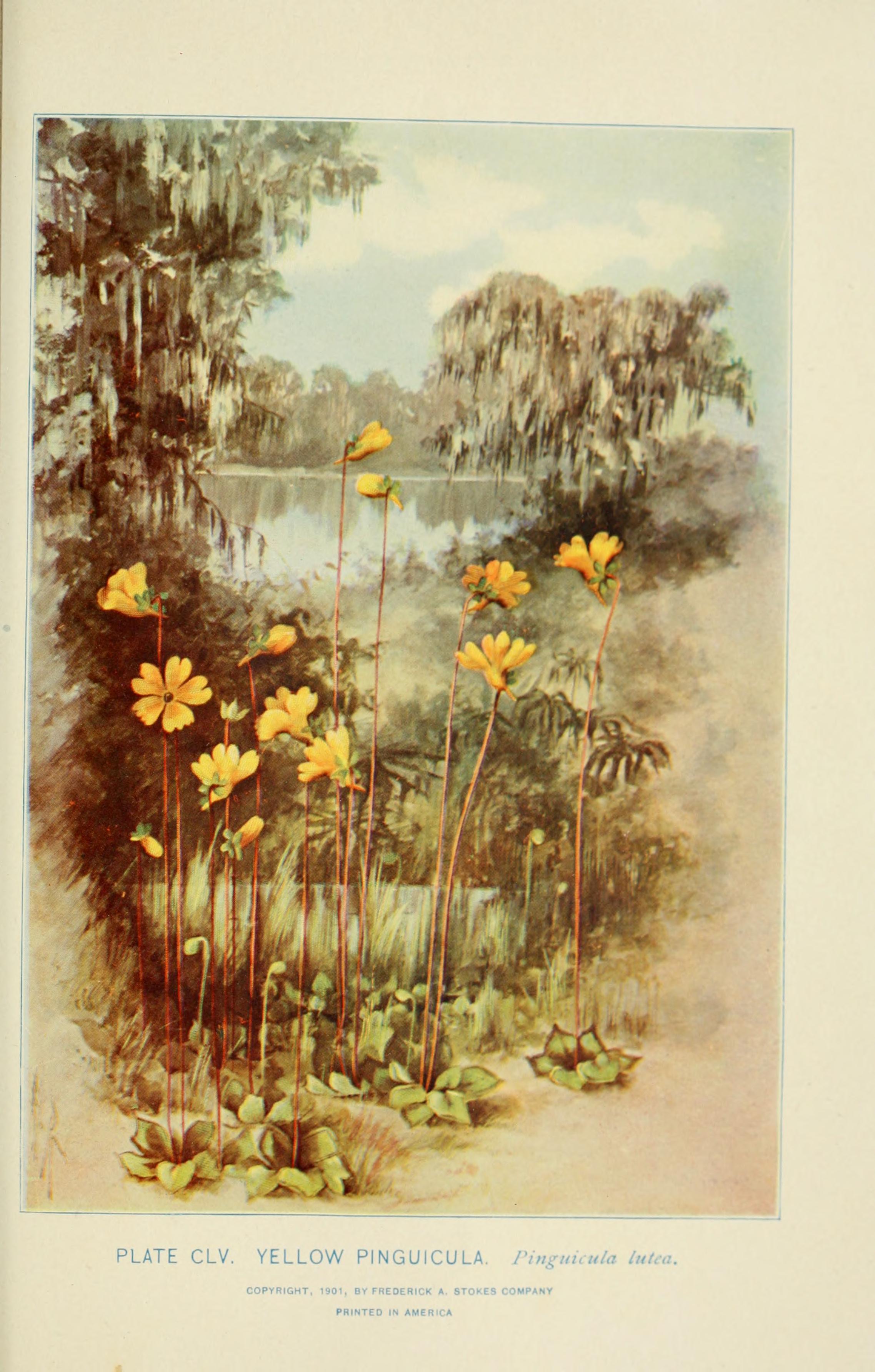
Disturbed and introduced wetlands
Wet ground taken over by weedy or introduced plants after disturbance, such as common reed, Chinese tallow or tamarisk stands; the upland counterpart is roadsides, fields and disturbed ground.
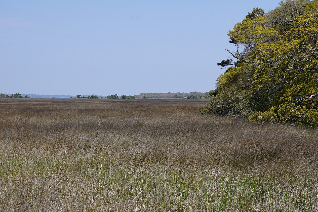
Marshes along tidal rivers where the water is fresh but rises and falls with the tide.
Salt and brackish open water of sounds, bays and estuaries, with the mud and sand flats and seagrass beds that tides cover and uncover; the vegetated marsh is salt and brackish marshes.
Other habitats in its models (5)
Land cover, or classes with no habitat page in Virginia.
- Unconsolidated Shore (Lake/River/Pond) Winter.
- Unconsolidated Shore Winter.
- Atlantic Coastal Plain Central Salt and Brackish Tidal Marsh Winter.
- Atlantic Coastal Plain Clay-Based Carolina Bay Herbaceous Wetland Winter.
- Atlantic Coastal Plain Central Fresh-Oligohaline Tidal Marsh Winter.
Seasons in Virginia
- Winter: does not nest here, in 9 of 133 counties and cities.
Also found in this habitat
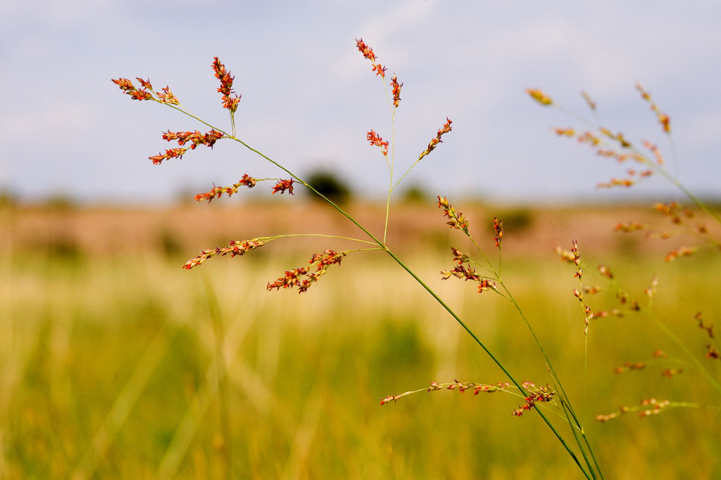
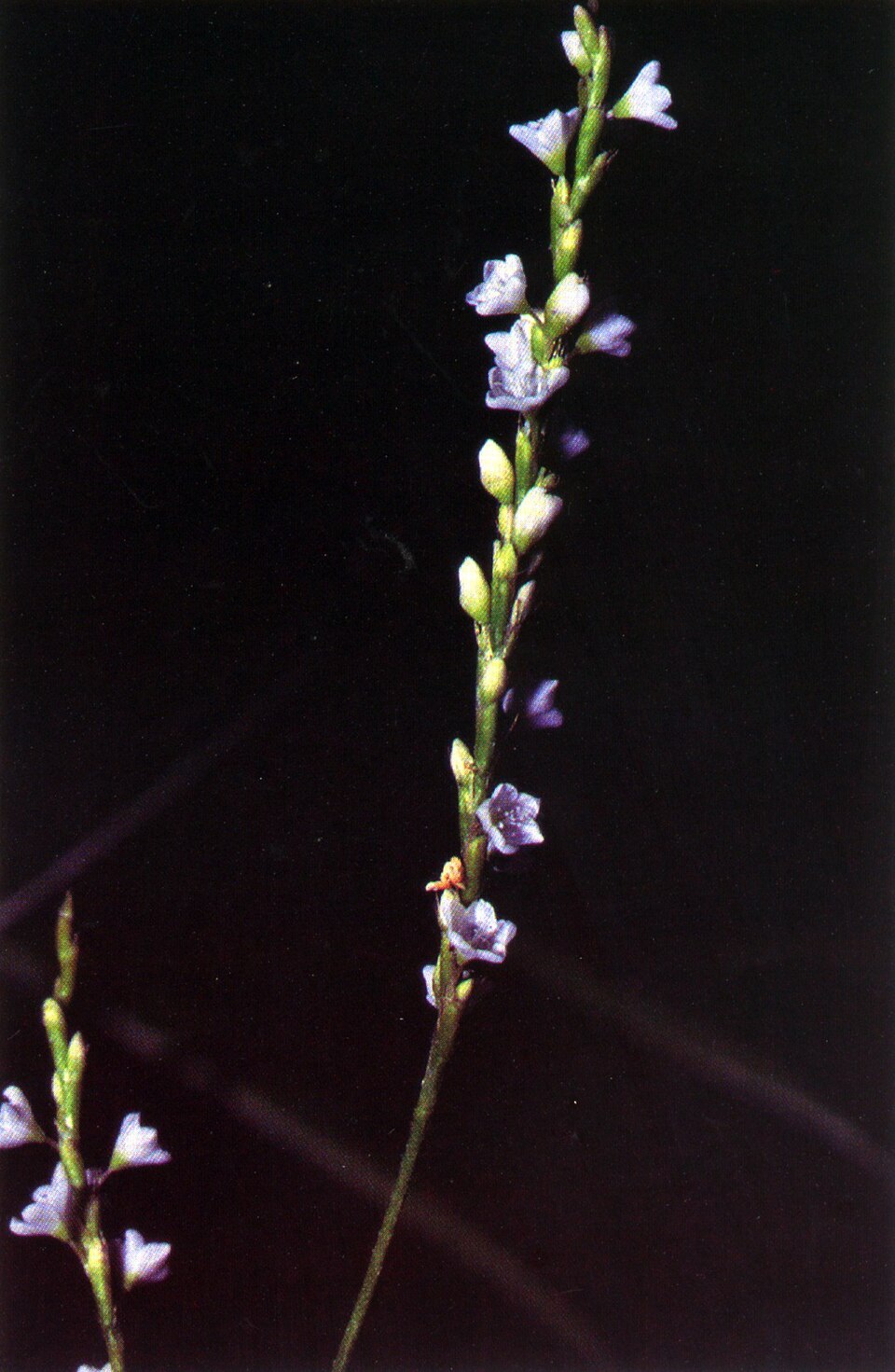
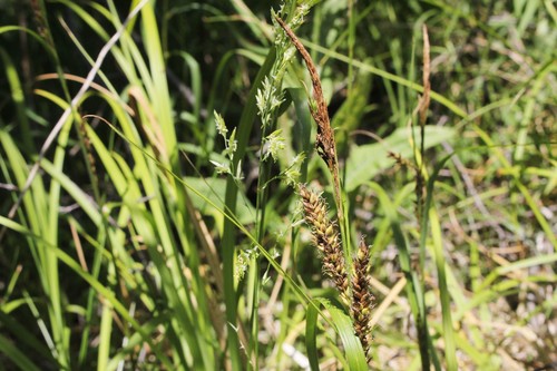
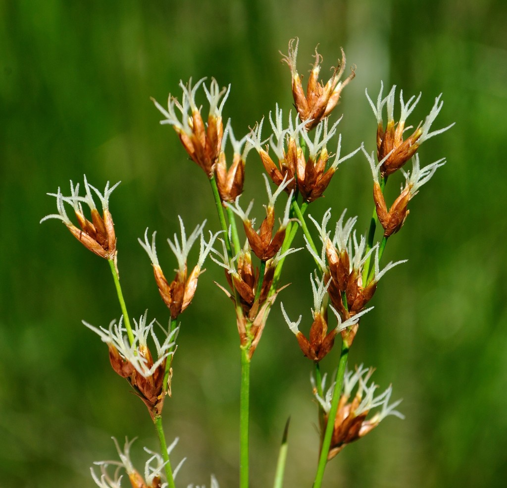
Plants 103
Plants named in NatureServe descriptions of these habitats that grow in Virginia. Shared habitat, not food.
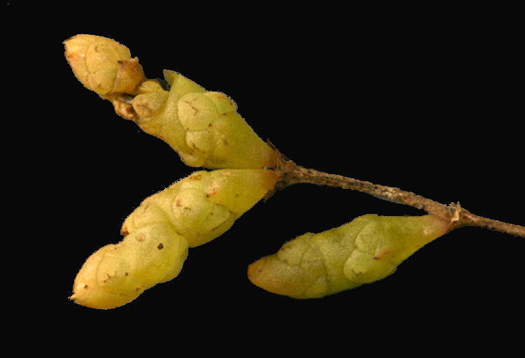
- Groundsel-treeBaccharis halimifolia
- Creeping SpikerushEleocharis fallax
- Estuary PipewortEriocaulon parkeri
- Bigleaf Marsh-elderIva frutescens
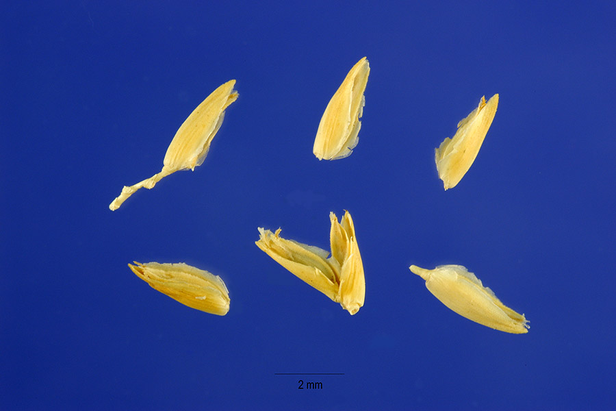
- Rice CutgrassLeersia oryzoides
- Welsh MudwortLimosella australis
- Marsh SeedboxLudwigia palustris
- Common WaxmyrtleMorella cerifera
- SwitchgrassPanicum virgatum
- Dotted SmartweedPersicaria punctata
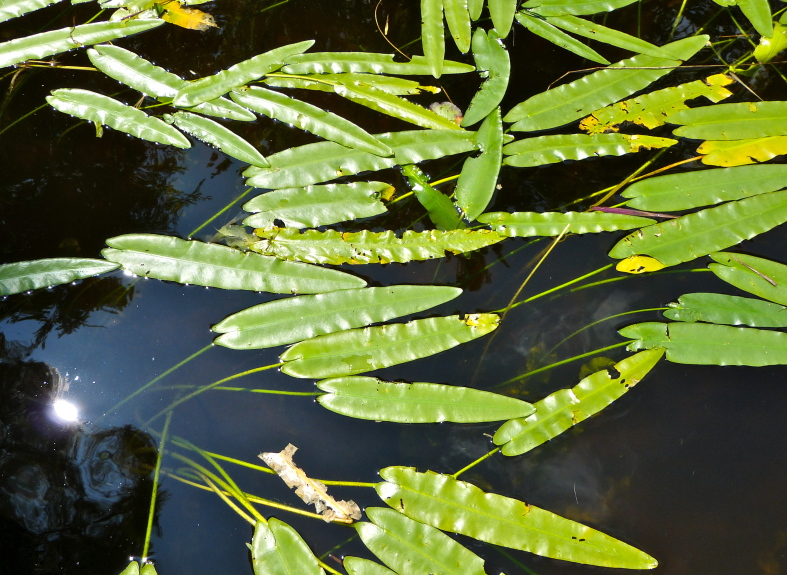
- Dwarf ArrowheadSagittaria subulata
- Saltmarsh CordgrassSpartina alterniflora
- Sensitive JointvetchAeschynomene virginica
- Shoreline SedgeCarex hyalinolepis
- Twig-rushCladium mariscoides
- Seashore SaltgrassDistichlis spicata
- Dwarf SpikerushEleocharis parvula
- Beaked SpikerushEleocharis rostellata
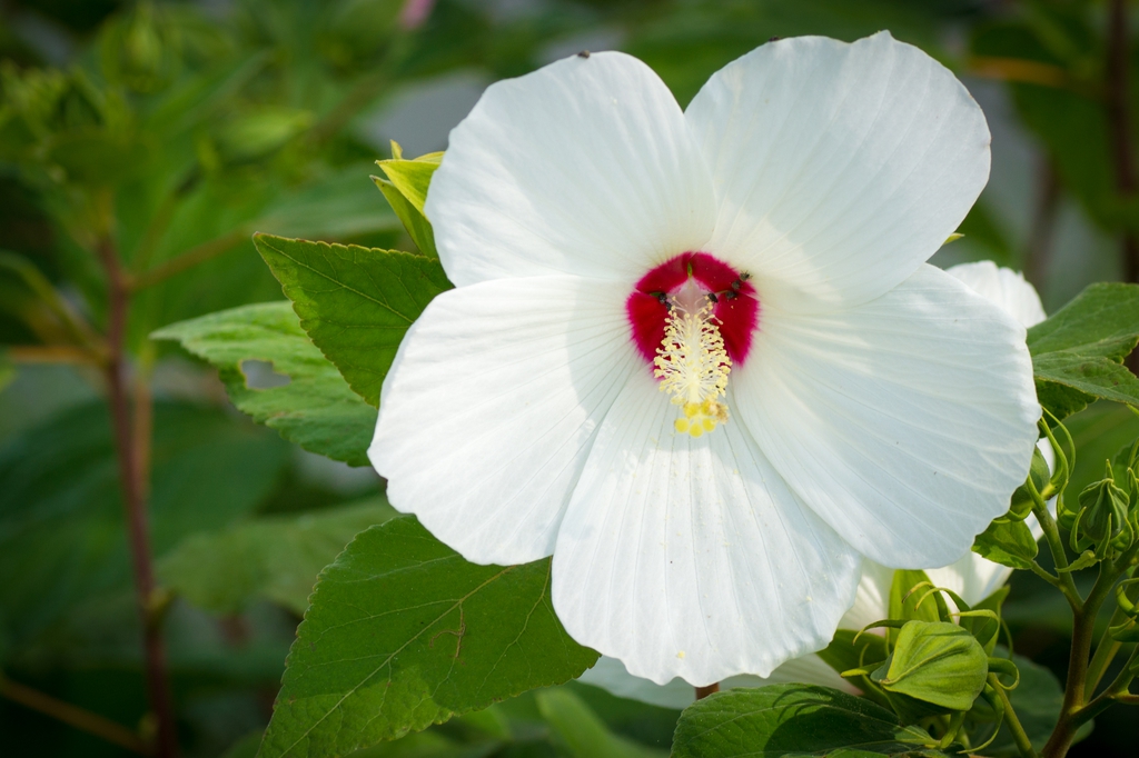
- Swamp RosemallowHibiscus moscheutos
- Shore QuillwortIsoetes riparia
- Black NeedlerushJuncus roemerianus
- Narrowleaf Pond-lilyNuphar sagittifolia
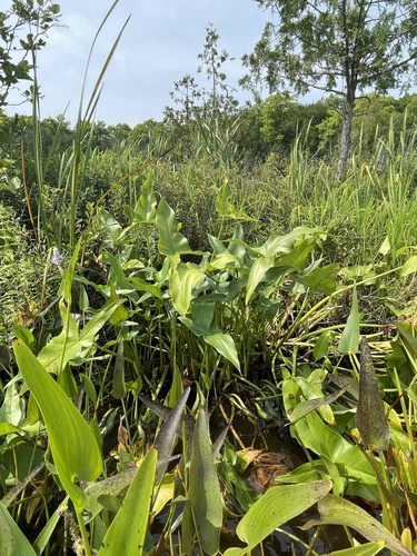
- Green Arrow-arumPeltandra virginica
- Dwarf GlasswortSalicornia bigelovii
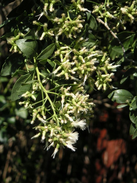
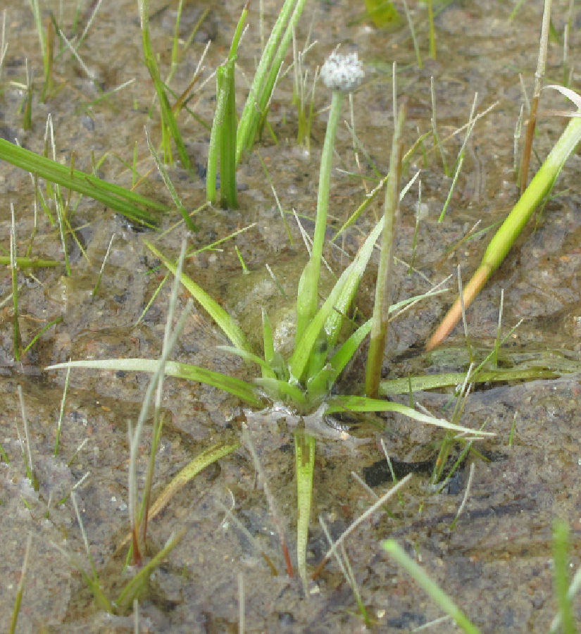
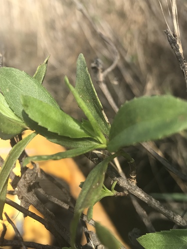
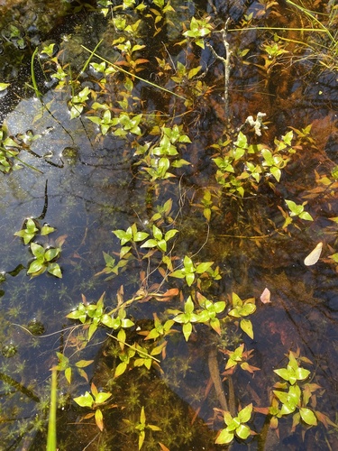

Wildlife 219
Other animals whose habitat models include the same habitats in Virginia. Not sighting records.
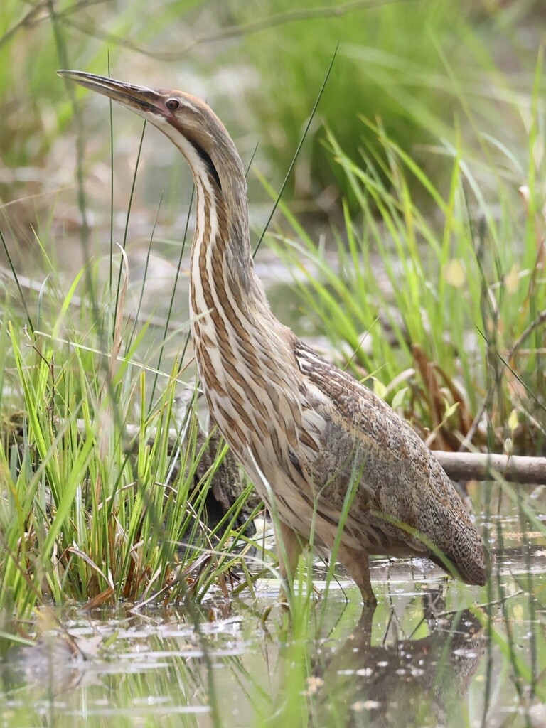
- American BitternBotaurus lentiginosus
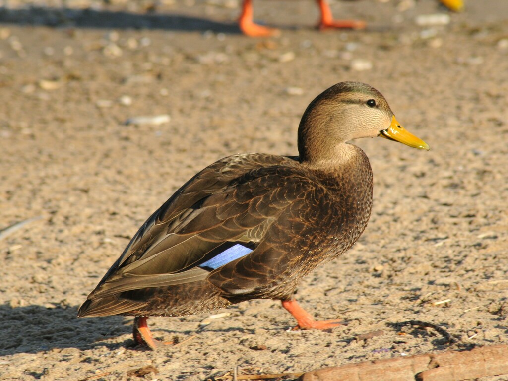
- American Black DuckAnas rubripes
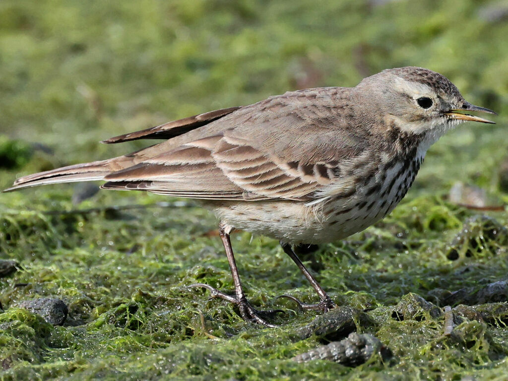
- American PipitAnthus rubescens
- Bald EagleHaliaeetus leucocephalus
- Bank SwallowRiparia riparia
- Belted KingfisherMegaceryle alcyon
- Black-crowned Night-heronNycticorax nycticorax
- Black-necked StiltHimantopus mexicanus
- Boat-tailed GrackleQuiscalus major
- Bonaparte's GullChroicocephalus philadelphia
- Canada GooseBranta canadensis
- CanvasbackAythya valisineria
- Common NighthawkChordeiles minor
- Forster's TernSterna forsteri
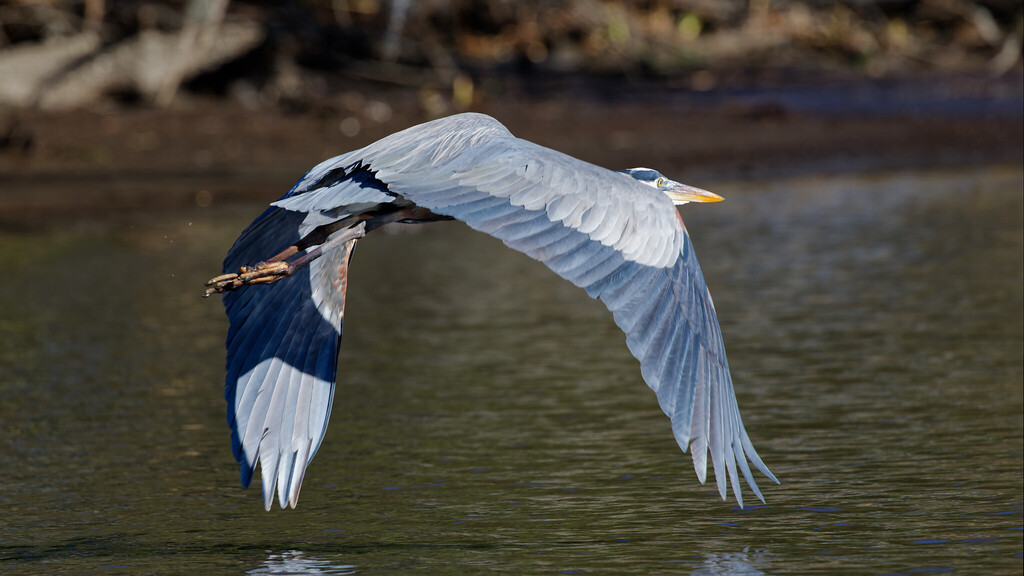
- Great Blue HeronArdea herodias
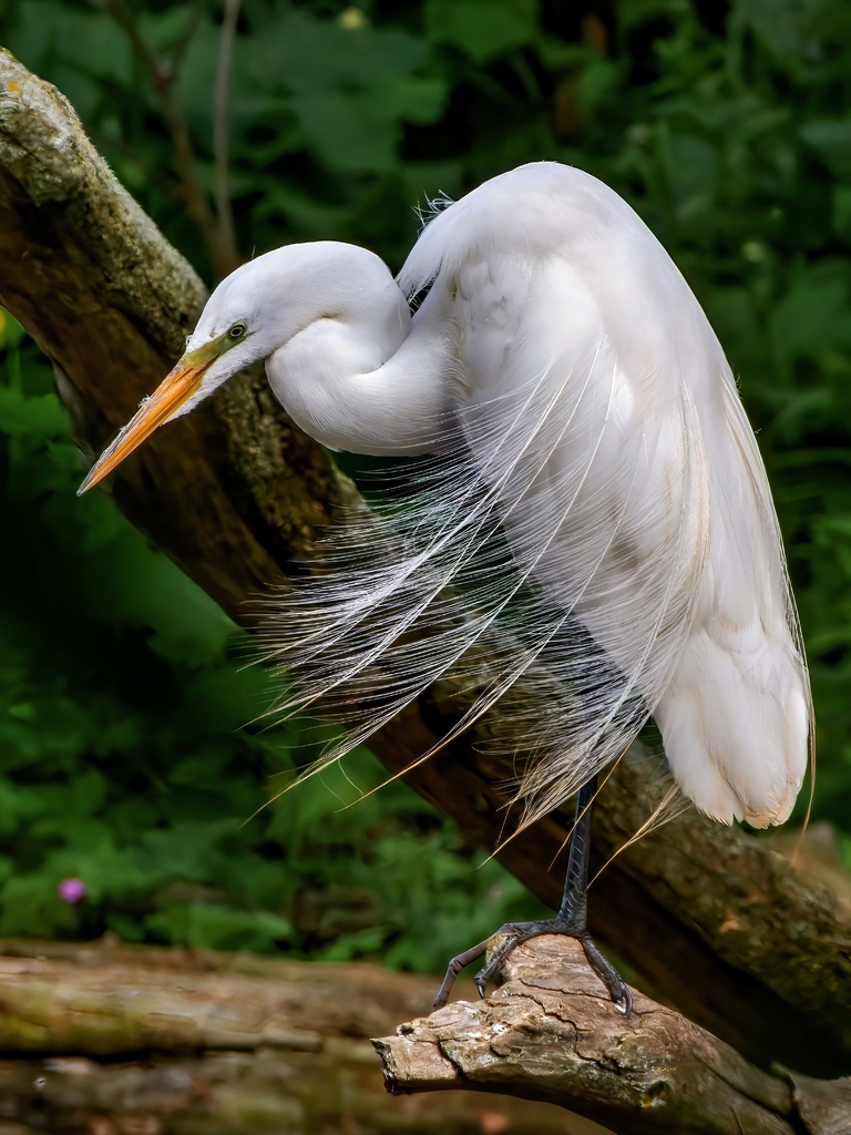
- Great EgretArdea alba
- Great Horned OwlBubo virginianus
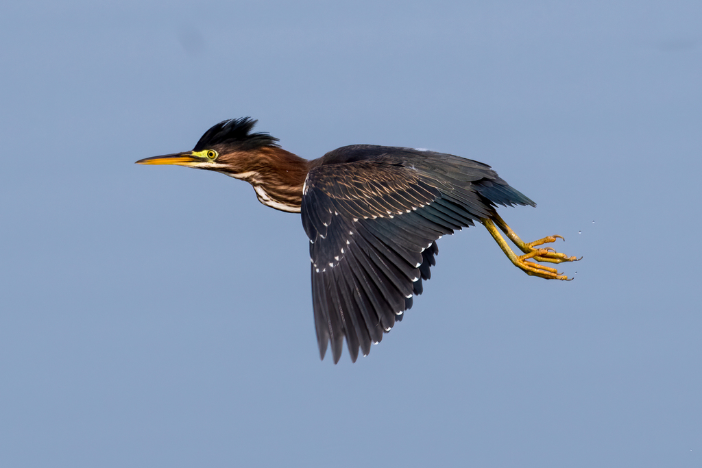
- Green HeronButorides virescens
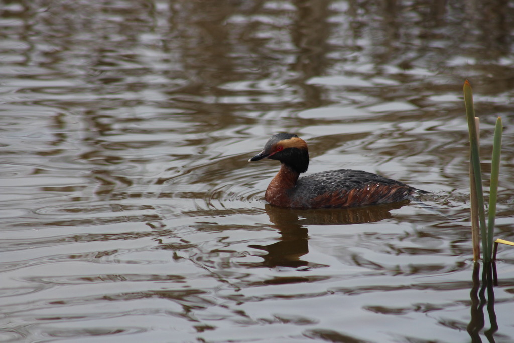
- Horned GrebePodiceps auritus
- Least BitternIxobrychus exilis
- Least SandpiperCalidris minutilla
- Lesser Black-backed GullLarus fuscus
- Lesser ScaupAythya affinis
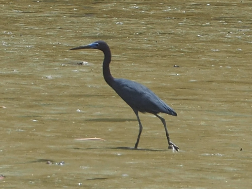
- Little Blue HeronEgretta caerulea
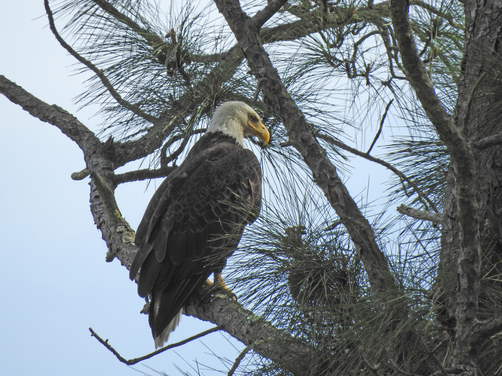

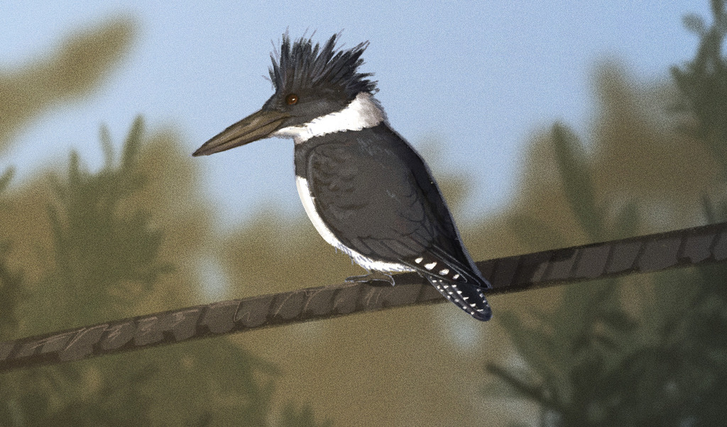

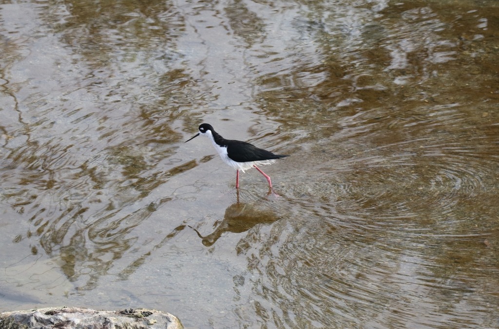
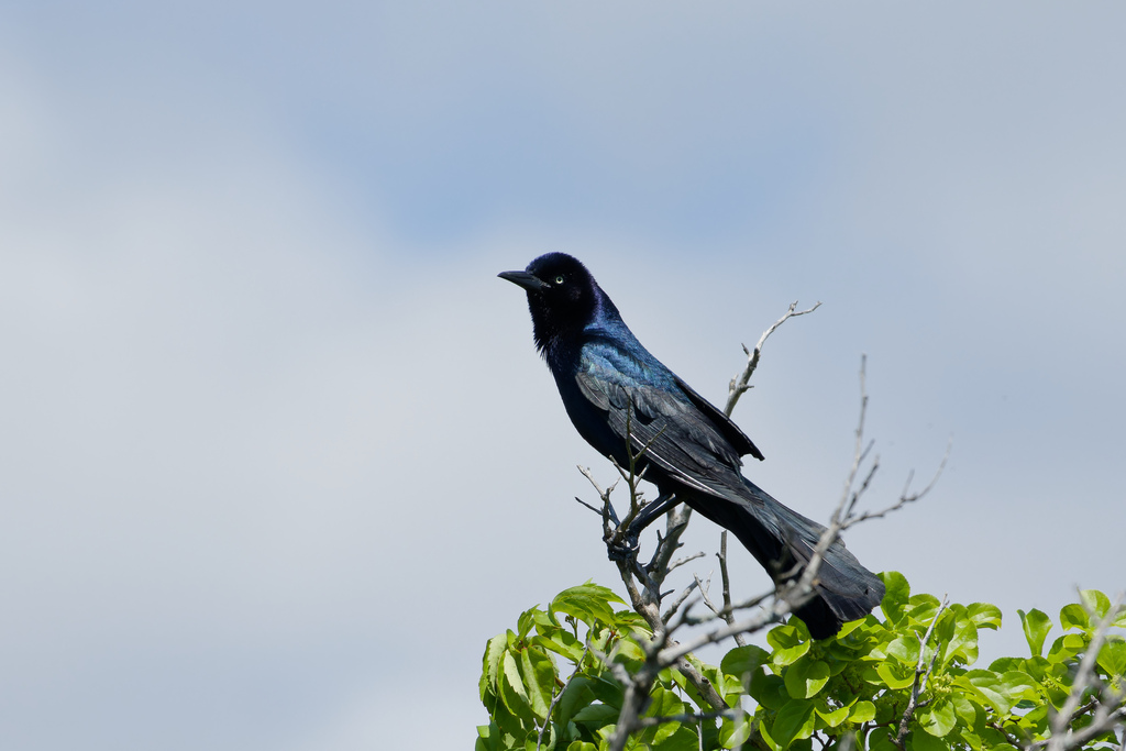
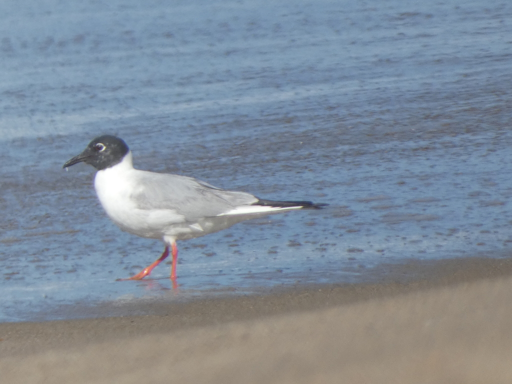
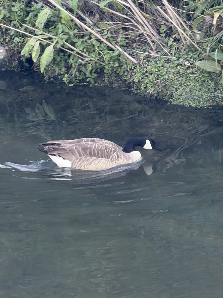
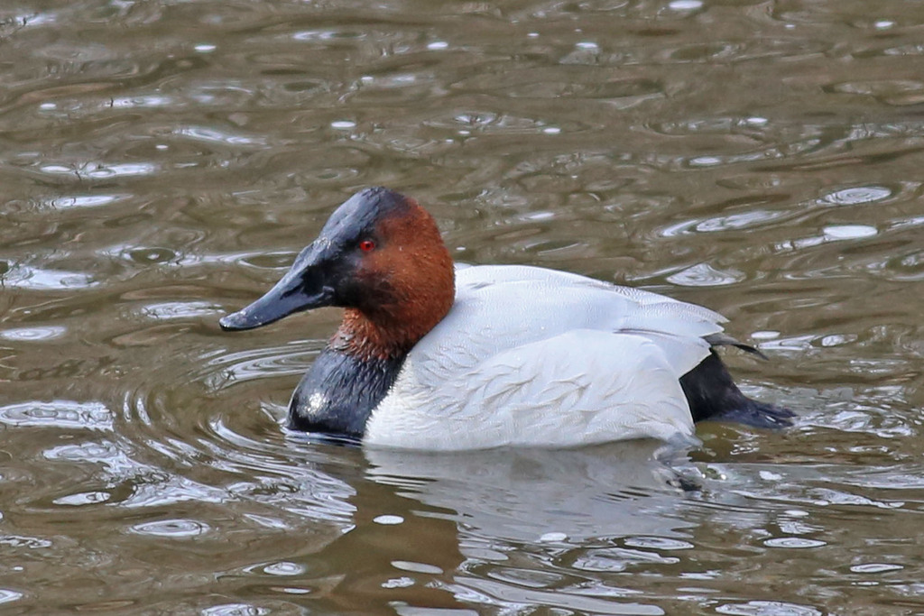

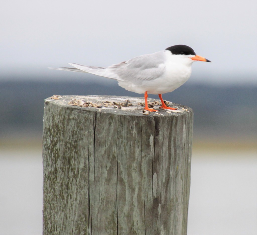

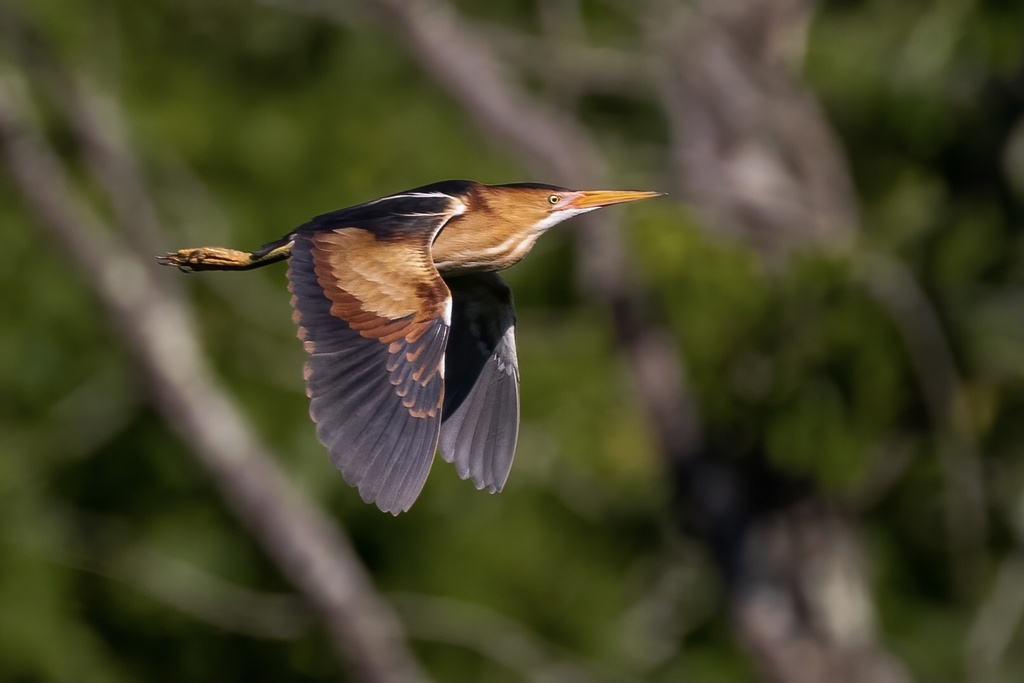
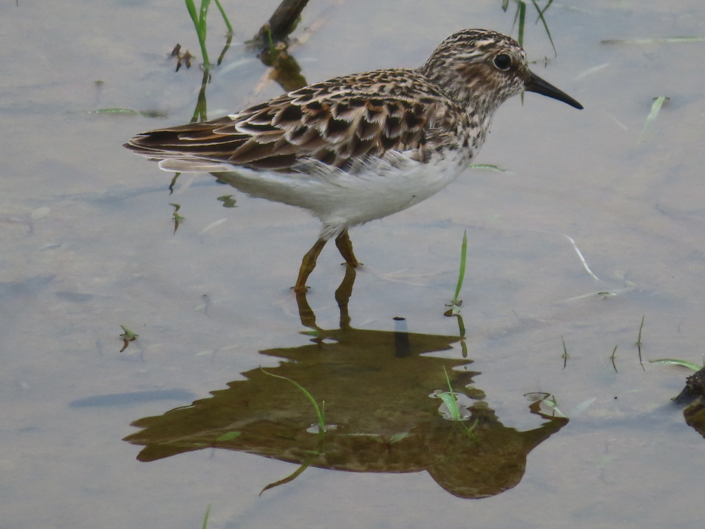
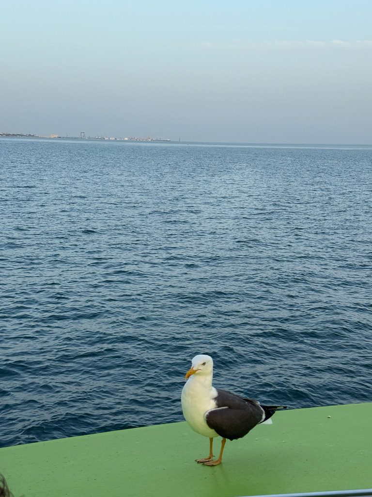
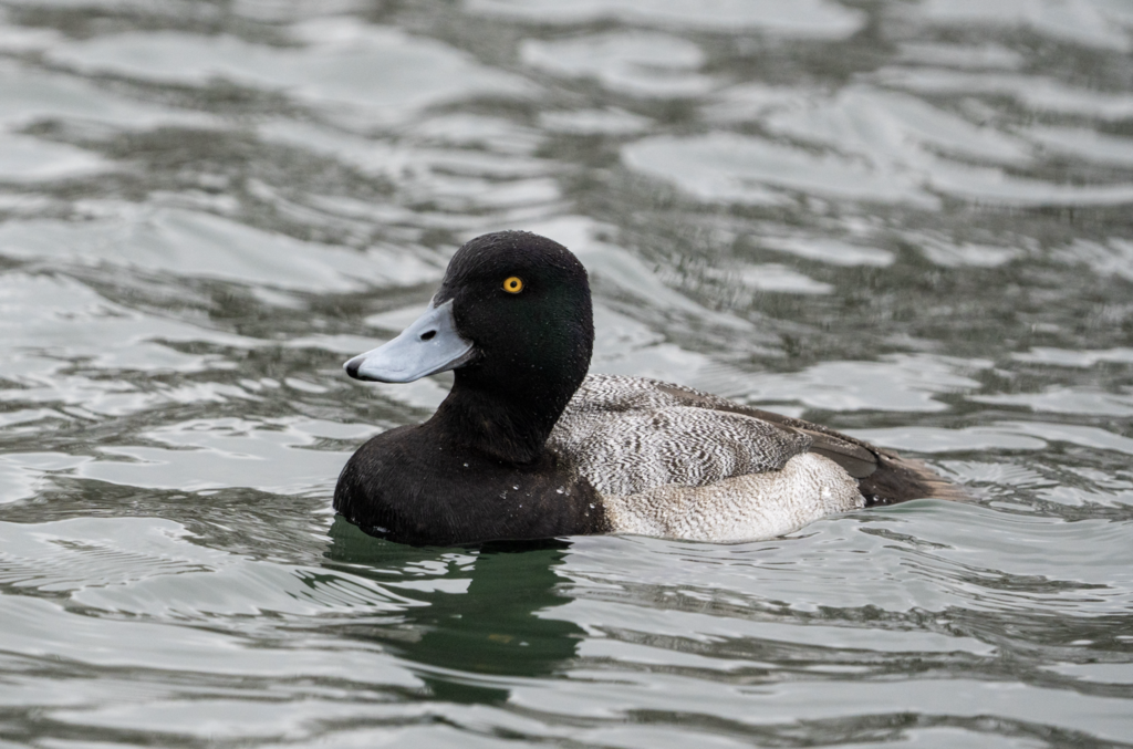


NatureServe Explorer, CC BY 4.0. USGS Gap Analysis Project habitat models.
Sources
- USGS Gap Analysis Project habitat models (2001)
- USGS GAP winter habitat model for Red-necked Grebe Slow streams only
- USGS Gap Analysis Project range maps (2001), modeled by watershed; migratory gives no dates
- NatureServe Explorer (CC BY 4.0), habitat names
- US Census TIGER/Line counties
- Names follow the USGS Gap Analysis Project (2001)