

Bird
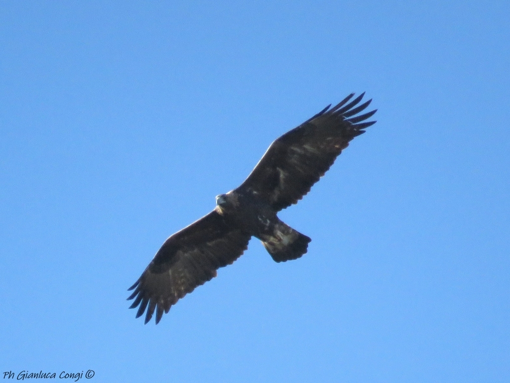
Golden Eagle
Aquila chrysaetos
A winter visitor to Virginia, found in 92 of 133 counties and cities and 5 habitats.
- Here
- Winter
- Nesting
- Not known to nest here
- Range
- 92 of 133 counties and cities
- Habitats
- 5
At a glance
- Group
- Birds
- Here
- Winter
- Nesting
- Not known to nest here
- Range
- 92 of 133 counties and cities
- Habitats
- 5
- Habitat models
- Winter
Where it lives
The places its habitat model includes. It is not found everywhere a habitat occurs.
Habitats in Virginia 5
Each habitat page lists the plants and wildlife also found there.
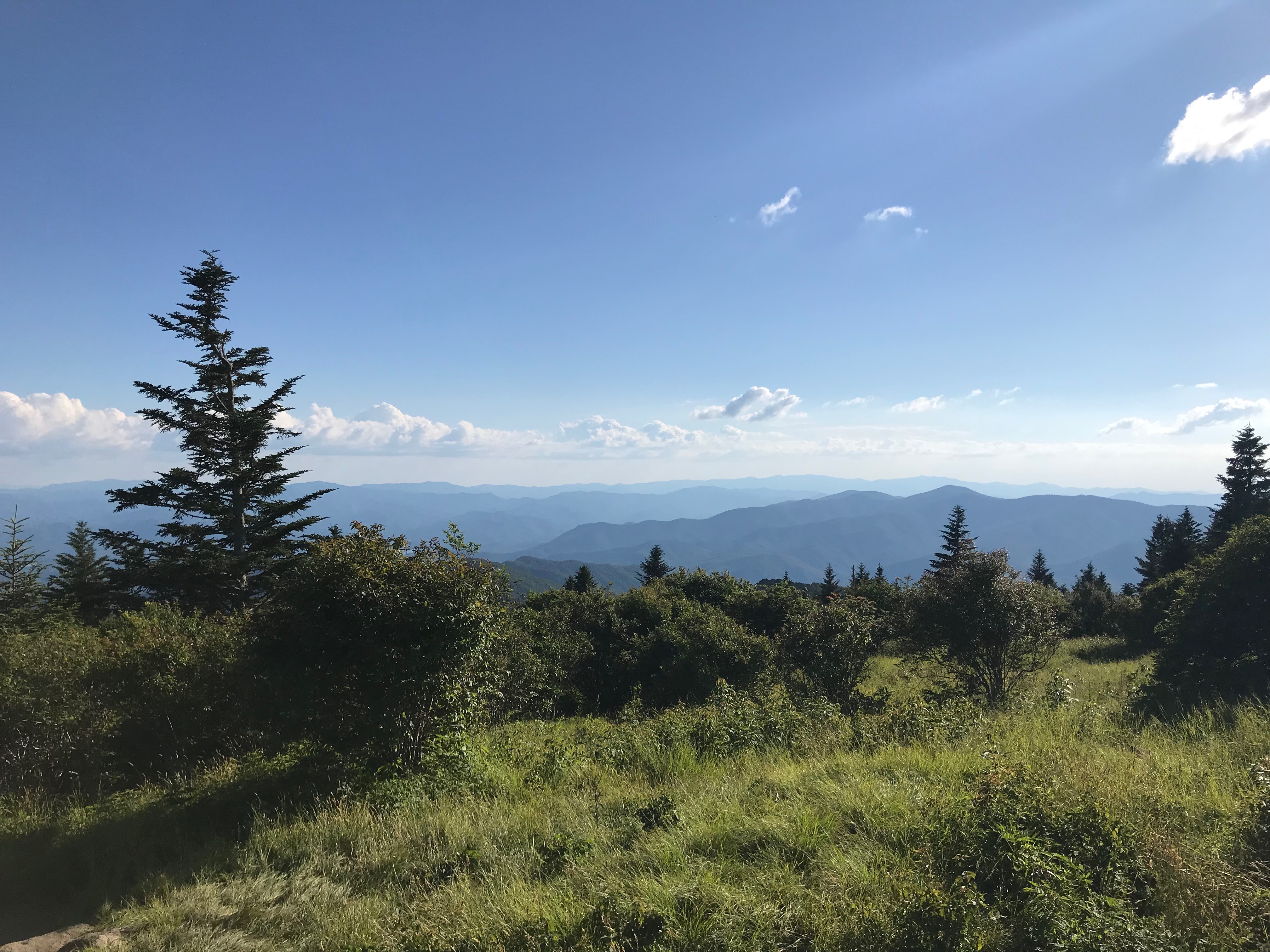
Cliffs, ledges and rocky summits
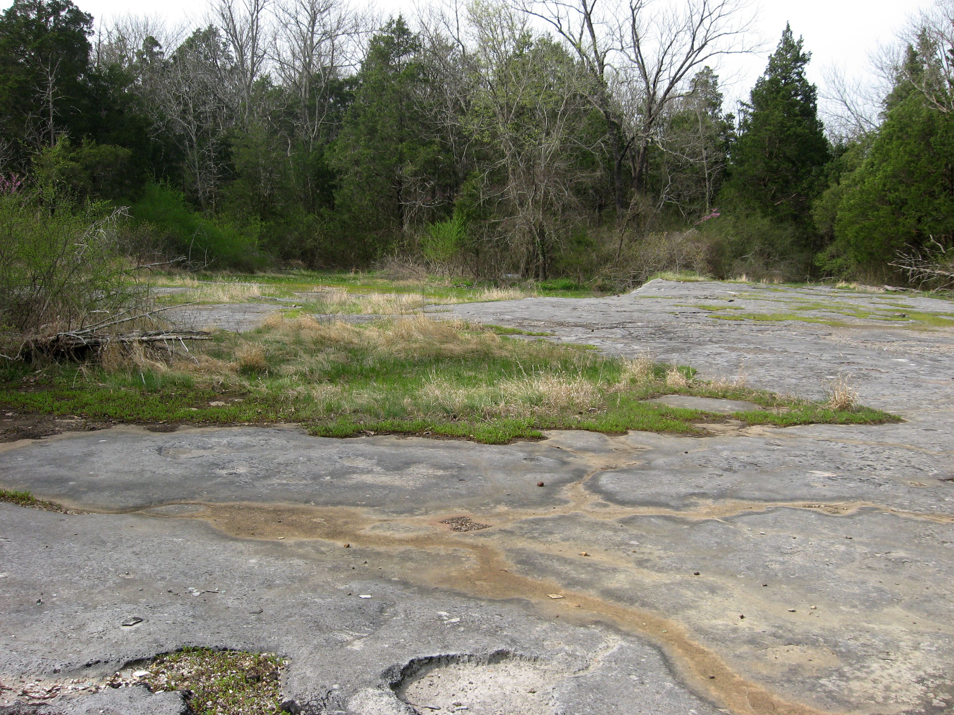
Glades, barrens and outcrops on limestone
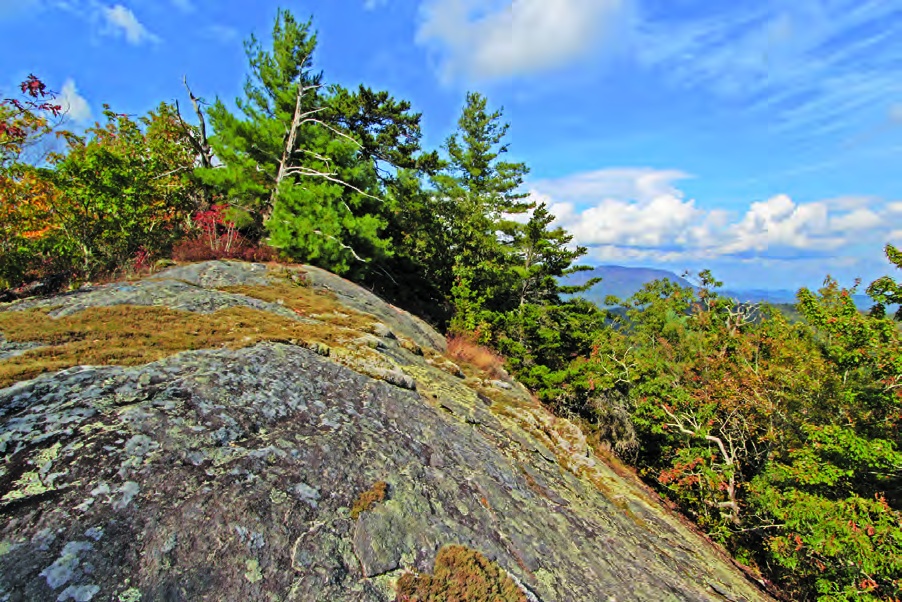
Granite and other acidic rock outcrops
Bare or thin-soil rock on granite, gneiss, sandstone, quartzite and similar acidic rock, including granite flatrocks and domes.
Steep, sun-baked slopes of loose shale with sparse oaks and Virginia pine and their own endemic wildflowers. Linked only where the source names shale barrens; calcareous shale stays with the limestone glades.
Other habitats in its models (12)
Land cover, or classes with no habitat page in Virginia.
- North-Central Appalachian Circumneutral Cliff and Talus Winter.
- Southern Interior Acid Cliff Winter.
- Southern Appalachian Rocky Summit Winter.
- Southern Appalachian Granitic Dome Winter.
- Central Interior Highlands Dry Acidic Glade and Barrens Winter.
- North-Central Interior Oak Savanna Winter.
- Nashville Basin Limestone Glade Winter.
- Central Appalachian Alkaline Glade and Woodland Winter.
- Central Interior Highlands Calcareous Glade and Barrens Winter.
- Central Interior and Appalachian Shrub-Herbaceous Wetland Systems Winter.
- Eastern Great Plains Wet Meadow, Prairie, and Marsh Winter.
- Cumberland Riverscour Winter.
Seasons in Virginia
- Winter: does not nest here, in 92 of 133 counties and cities.
Also found in this habitat
Plants 263
Plants named in NatureServe descriptions of these habitats that grow in Virginia. Shared habitat, not food.
- Poverty OatgrassDanthonia spicata
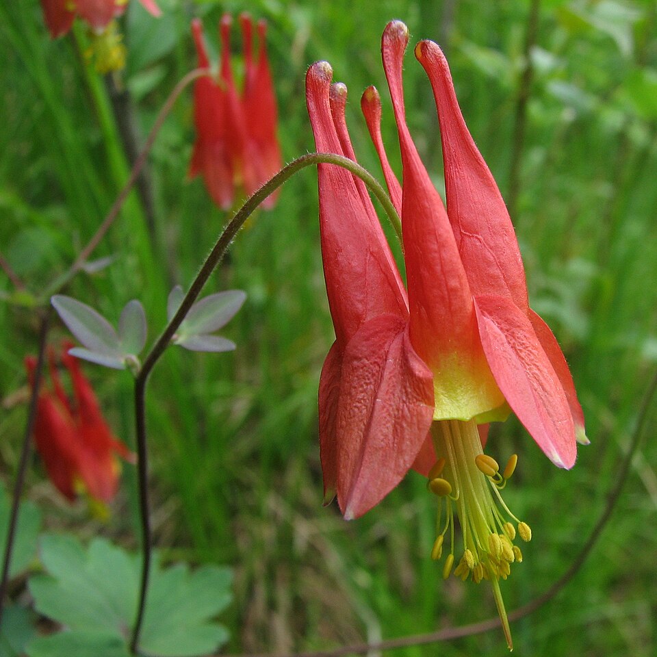
- Eastern ColumbineAquilegia canadensis
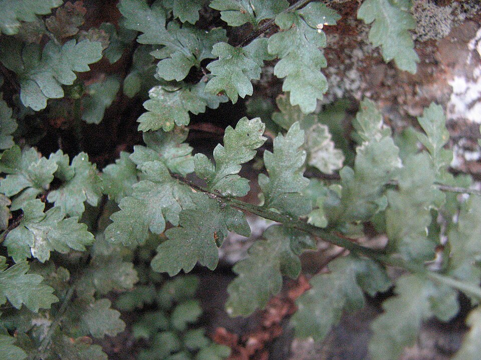
- Bradley's SpleenwortAsplenium bradleyi
- Wavy HairgrassAvenella flexuosa
- Smooth HydrangeaHydrangea arborescens
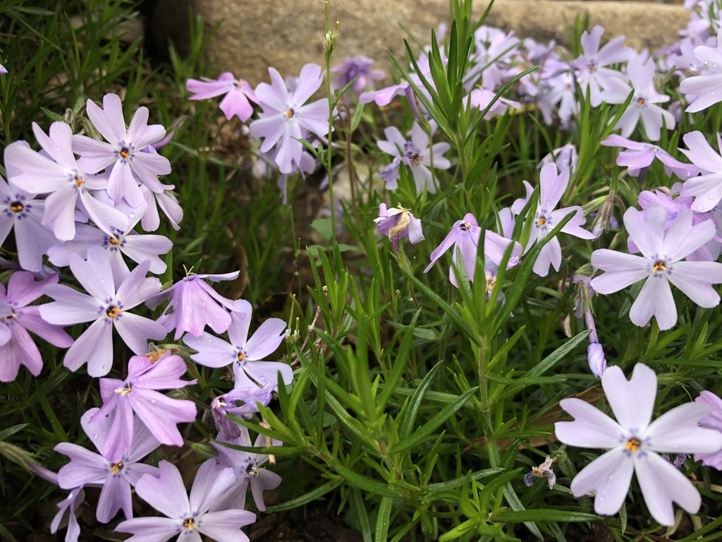
- Moss PhloxPhlox subulata
- Common Rockcap FernPolypodium virginianum
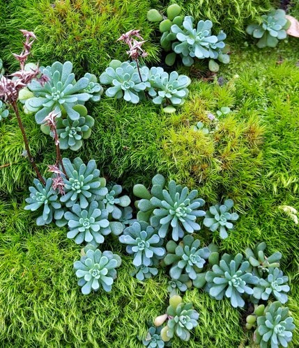
- Cliff StonecropSedum glaucophyllum
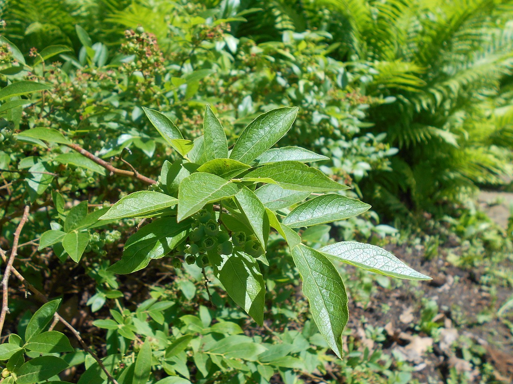
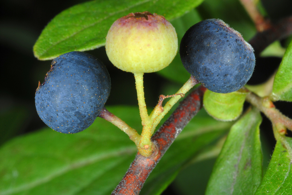
- Hillside BlueberryVaccinium pallidum
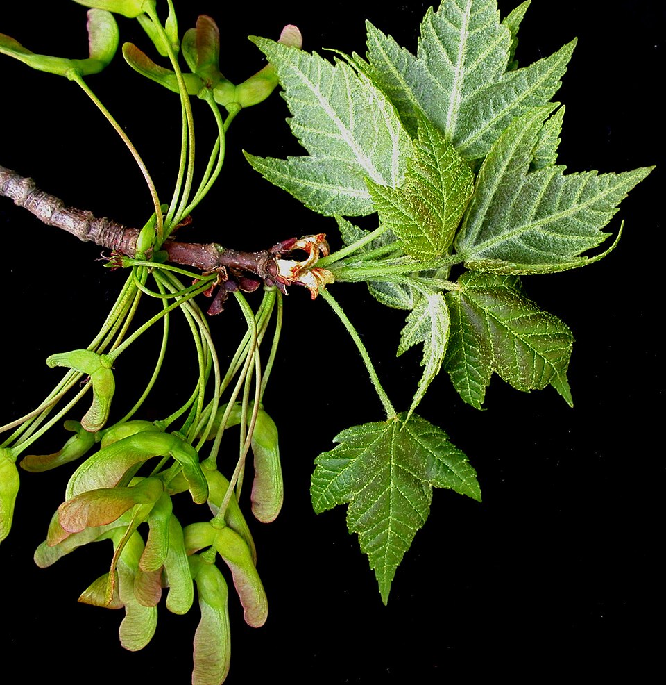
- Red MapleAcer rubrum
- Allegheny-vineAdlumia fungosa
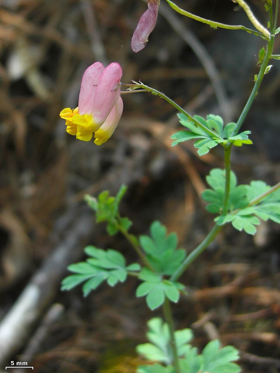
- Rock HarlequinCapnoides sempervirens
- Pennsylvania SedgeCarex pensylvanica
- Variable SedgeCarex polymorpha
- Bulblet Bladder FernCystopteris bulbifera
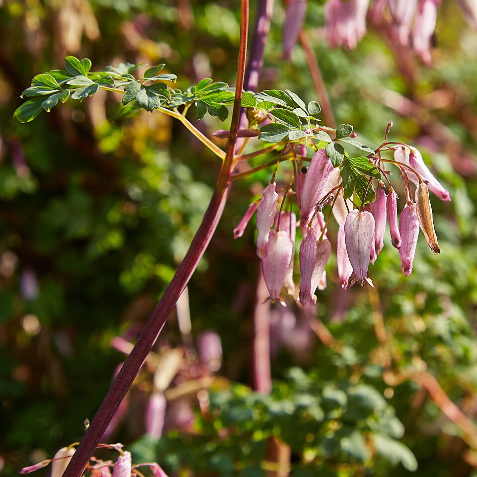
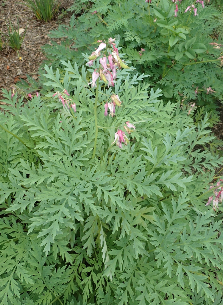
- Wild Bleeding-heartDicentra eximia
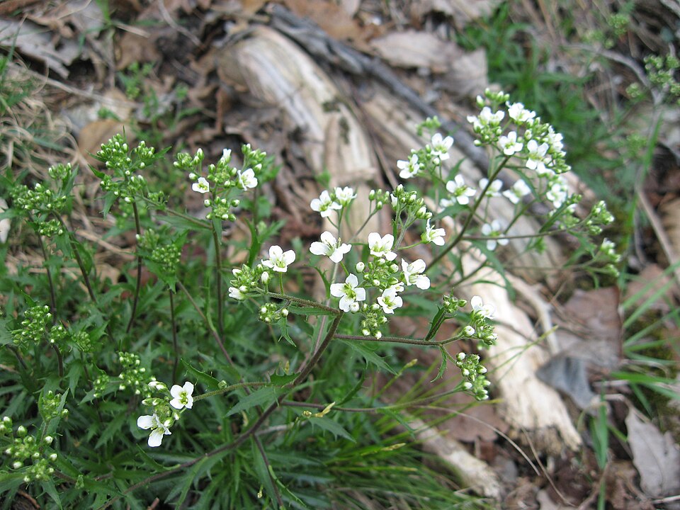
- Branched DrabaDraba ramosissima
- Pink ThoroughwortFleischmannia incarnata
- Black HuckleberryGaylussacia baccata
- Greenland SandwortGeocarpon groenlandicum
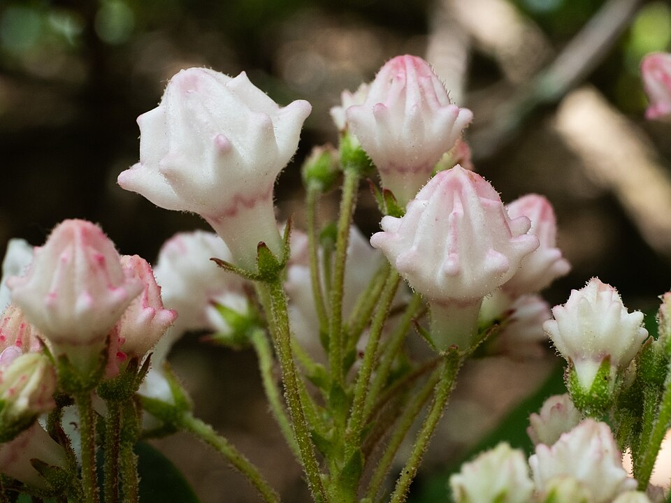
- Mountain LaurelKalmia latifolia
- Heller's Blazing-starLiatris helleri
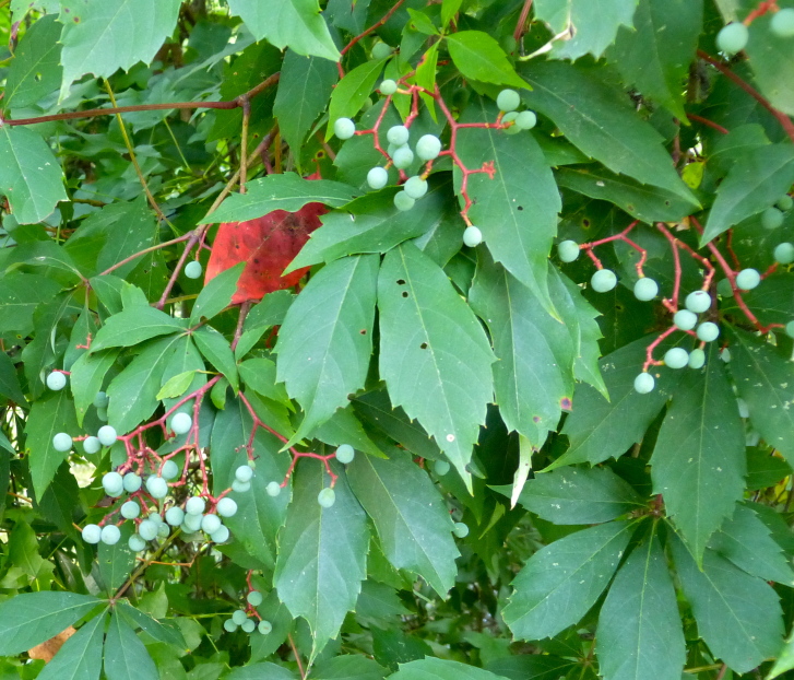
- Virginia CreeperParthenocissus quinquefolia
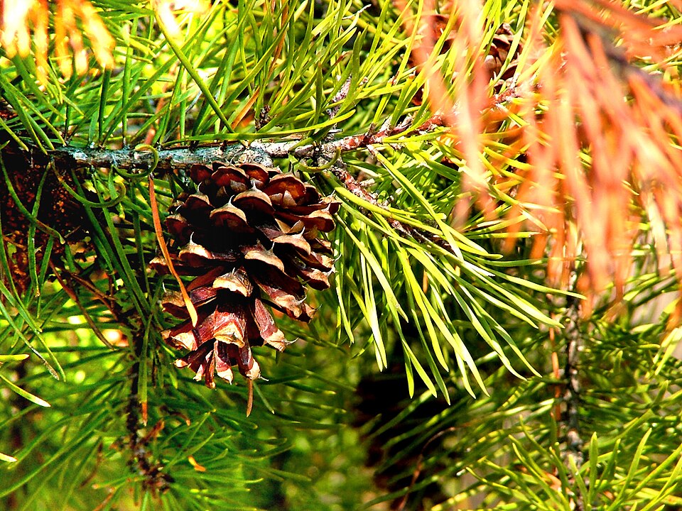
- Virginia PinePinus virginiana
Wildlife 109
Other animals whose habitat models include the same habitats in Virginia. Not sighting records.
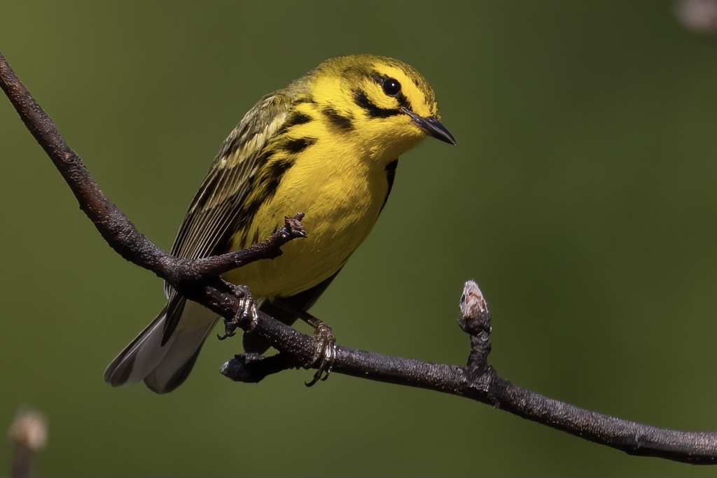
- Prairie WarblerDendroica discolor
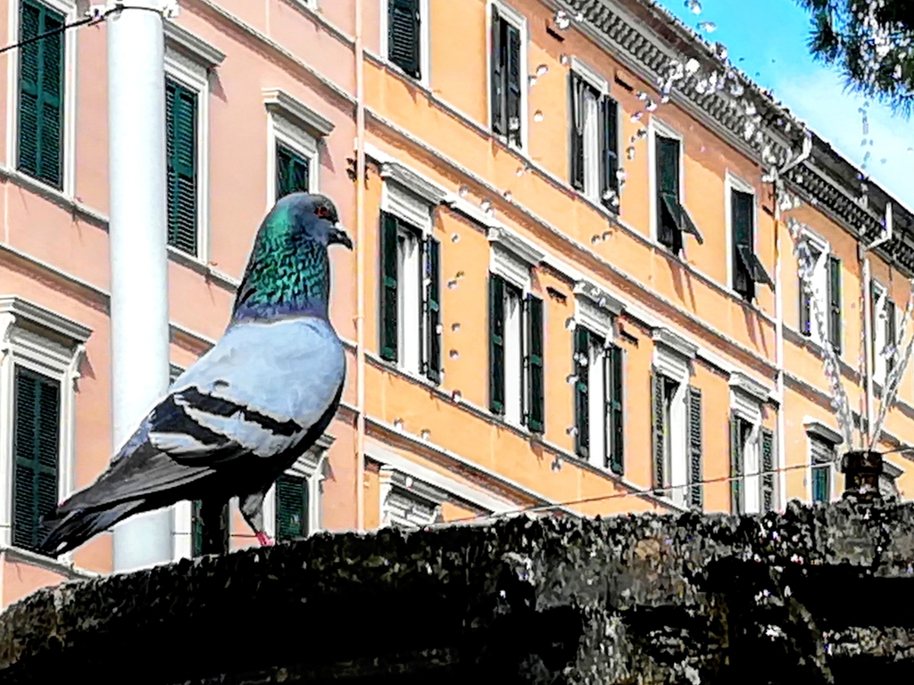
- Rock PigeonColumba livia
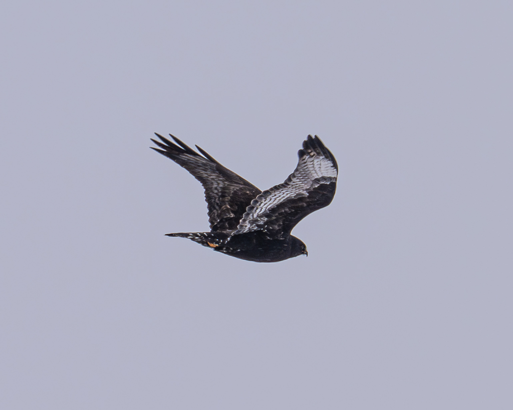
- Rough-legged HawkButeo lagopus
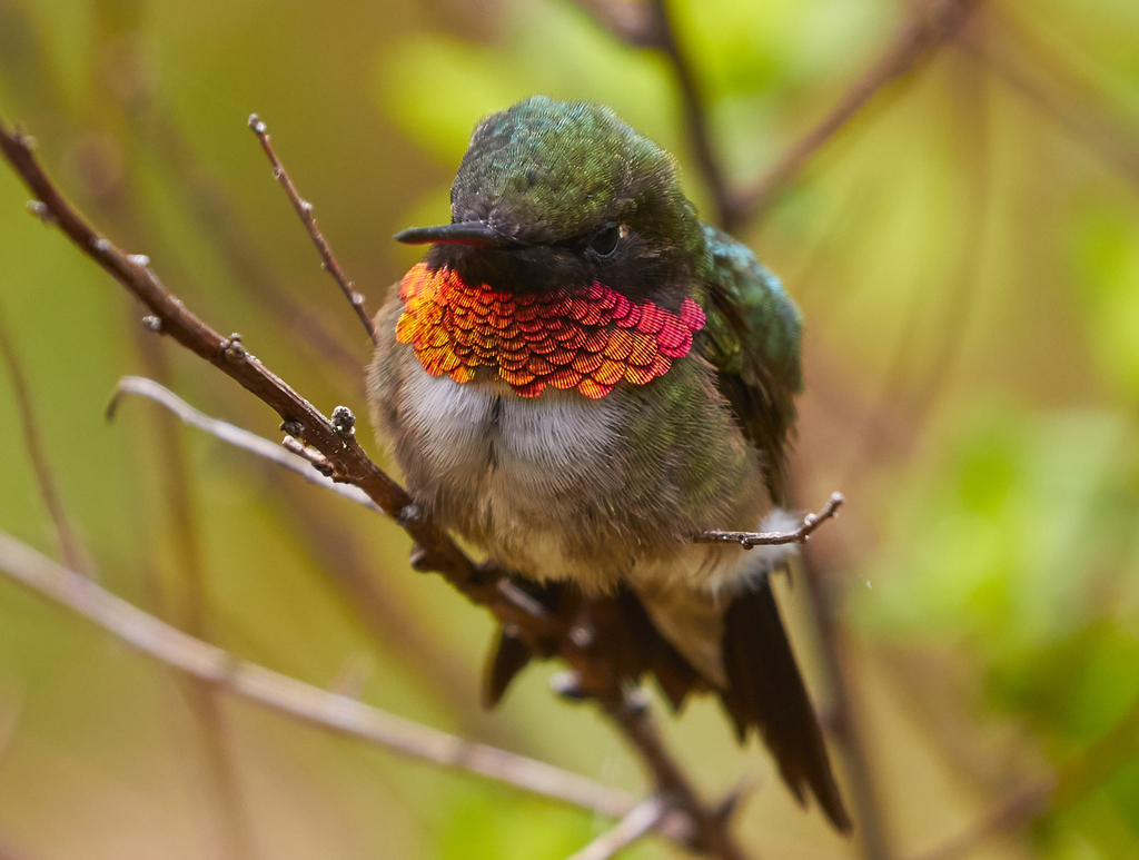
- Ruby-throated HummingbirdArchilochus colubris
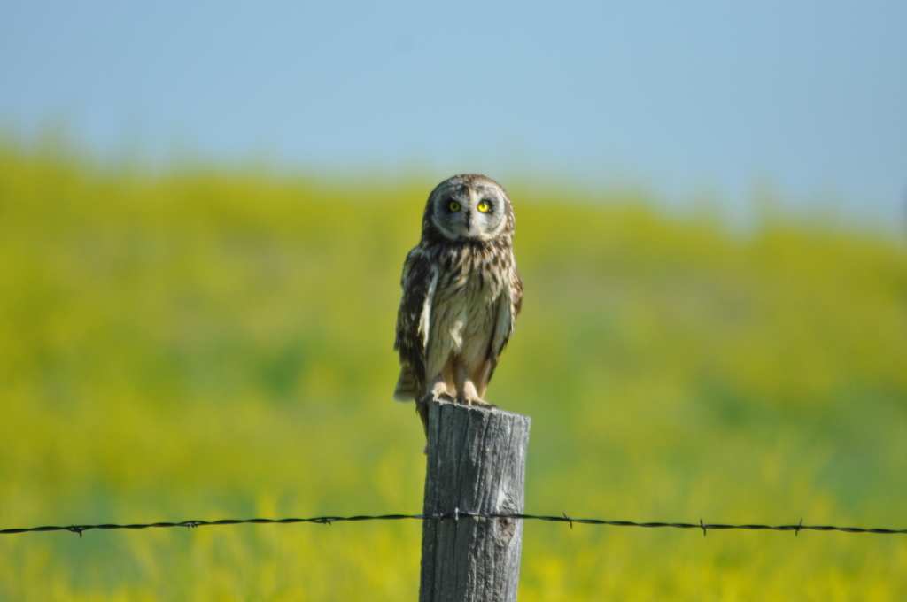
- Short-eared OwlAsio flammeus
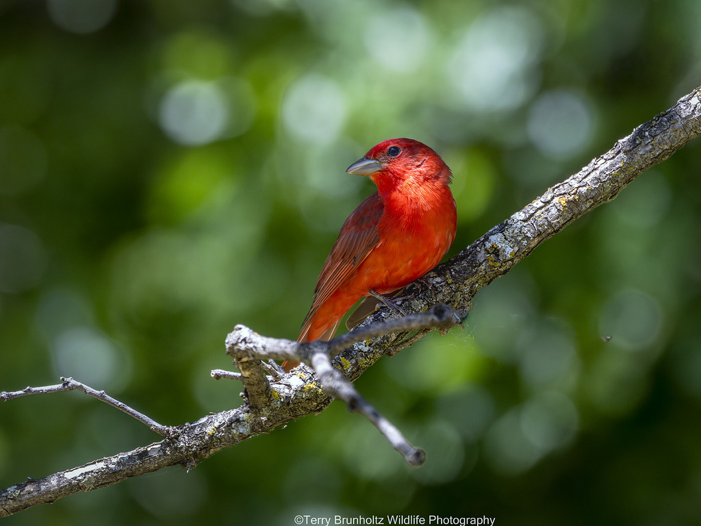
- Summer TanagerPiranga rubra
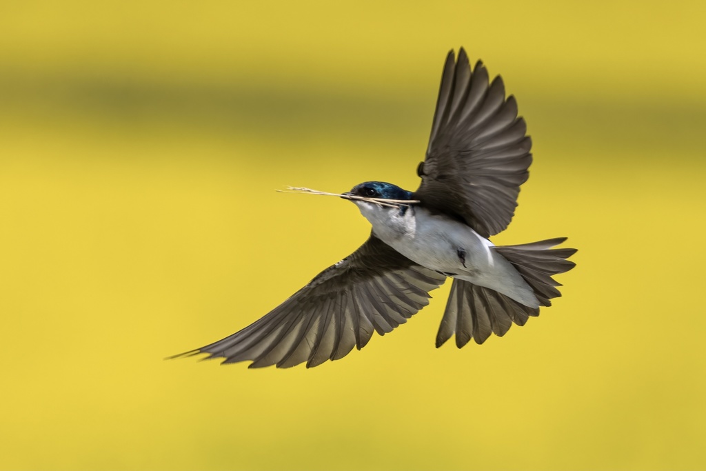
- Tree SwallowTachycineta bicolor
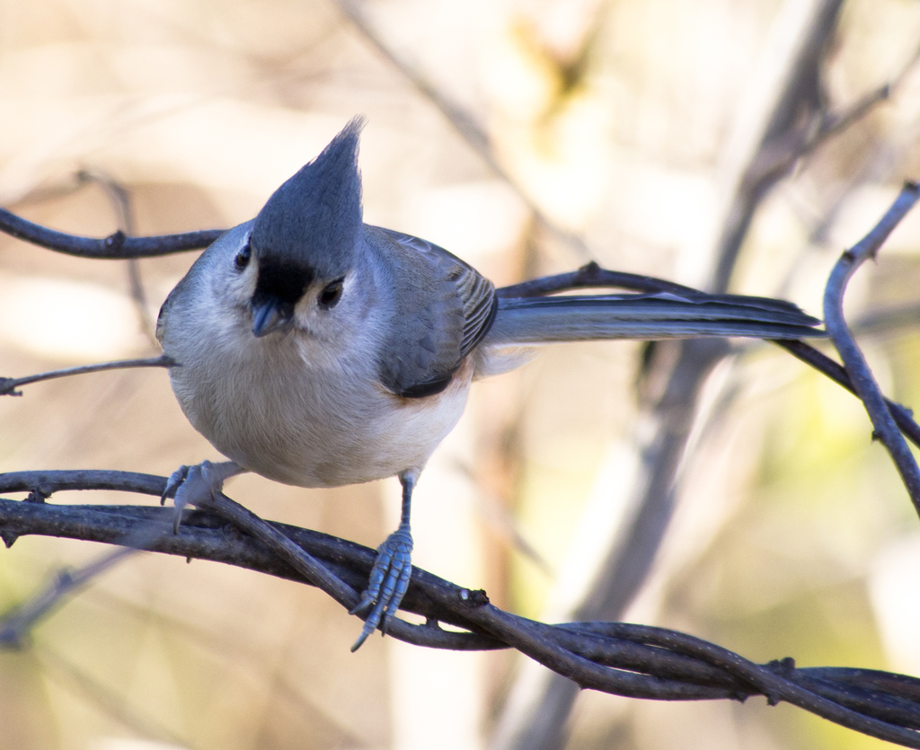
- Tufted TitmouseBaeolophus bicolor
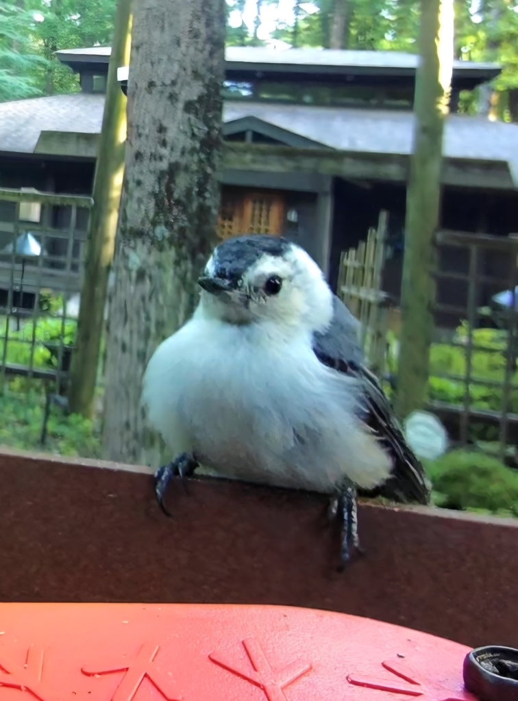
- White-breasted NuthatchSitta carolinensis
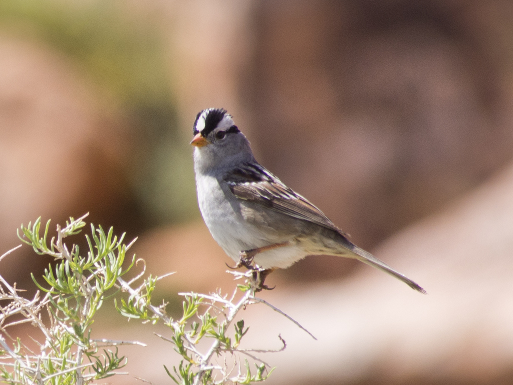
- White-crowned SparrowZonotrichia leucophrys
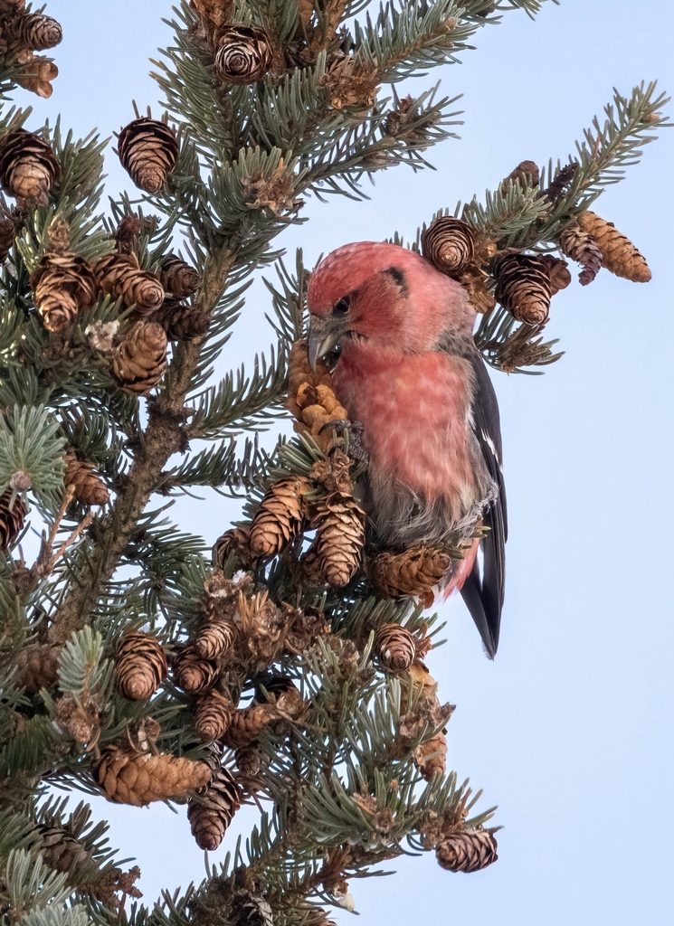
- White-winged CrossbillLoxia leucoptera
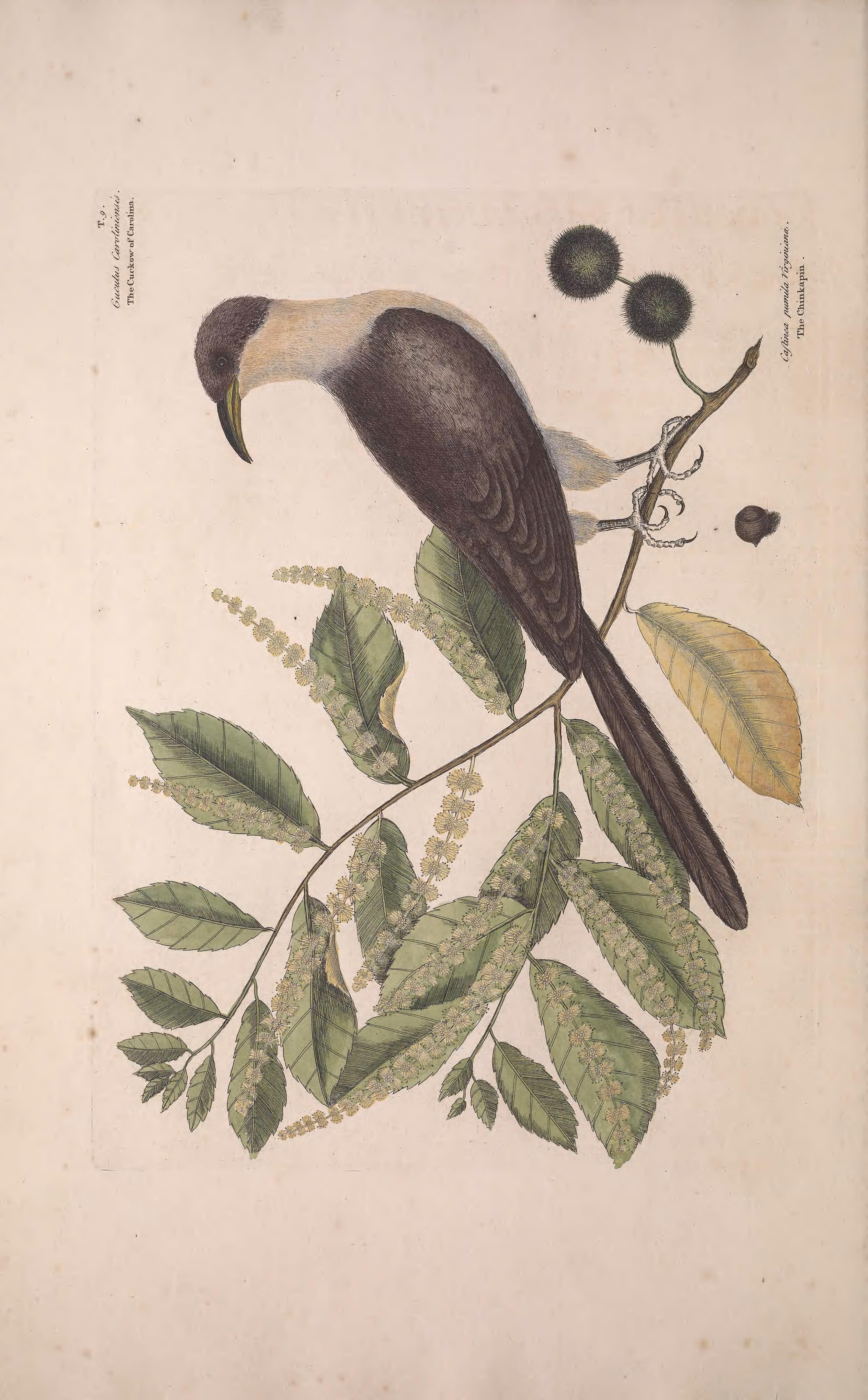
- Yellow-billed CuckooCoccyzus americanus
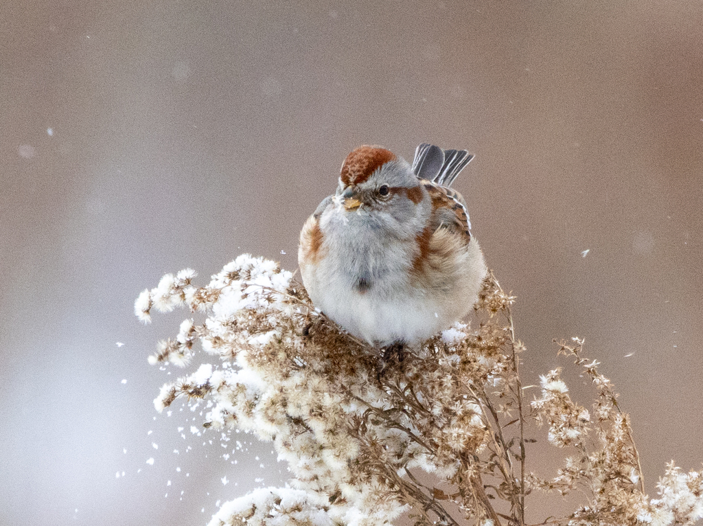
- American Tree SparrowSpizella arborea
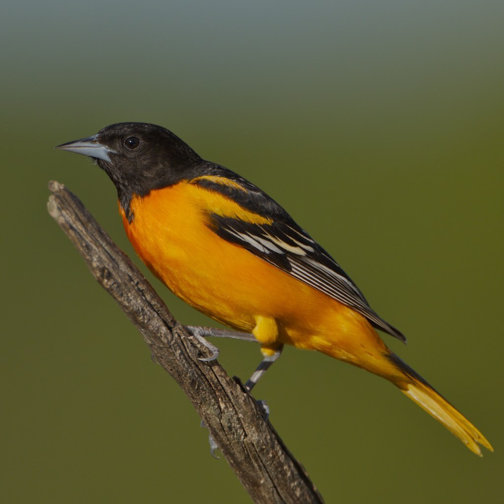
- Baltimore OrioleIcterus galbula
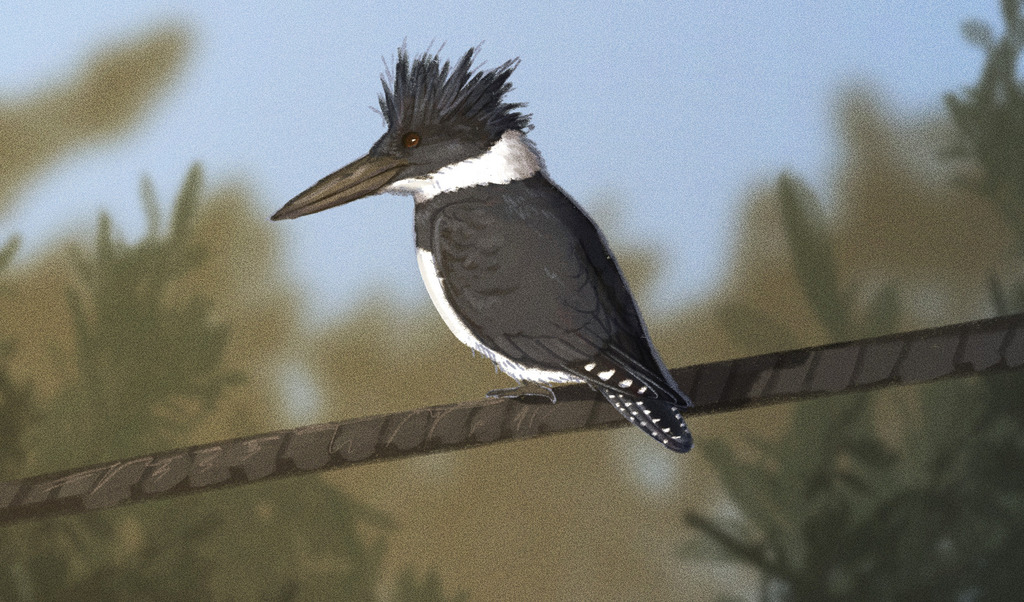
- Belted KingfisherMegaceryle alcyon
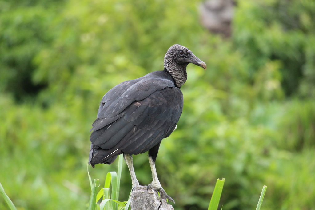
- Black VultureCoragyps atratus
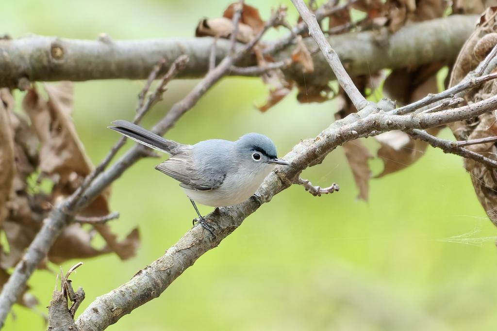
- Blue-gray GnatcatcherPolioptila caerulea
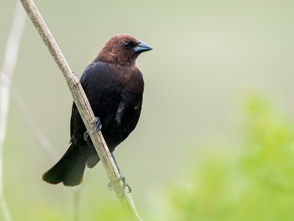
- Brown-headed CowbirdMolothrus ater
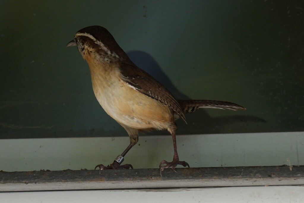
- Carolina WrenThryothorus ludovicianus
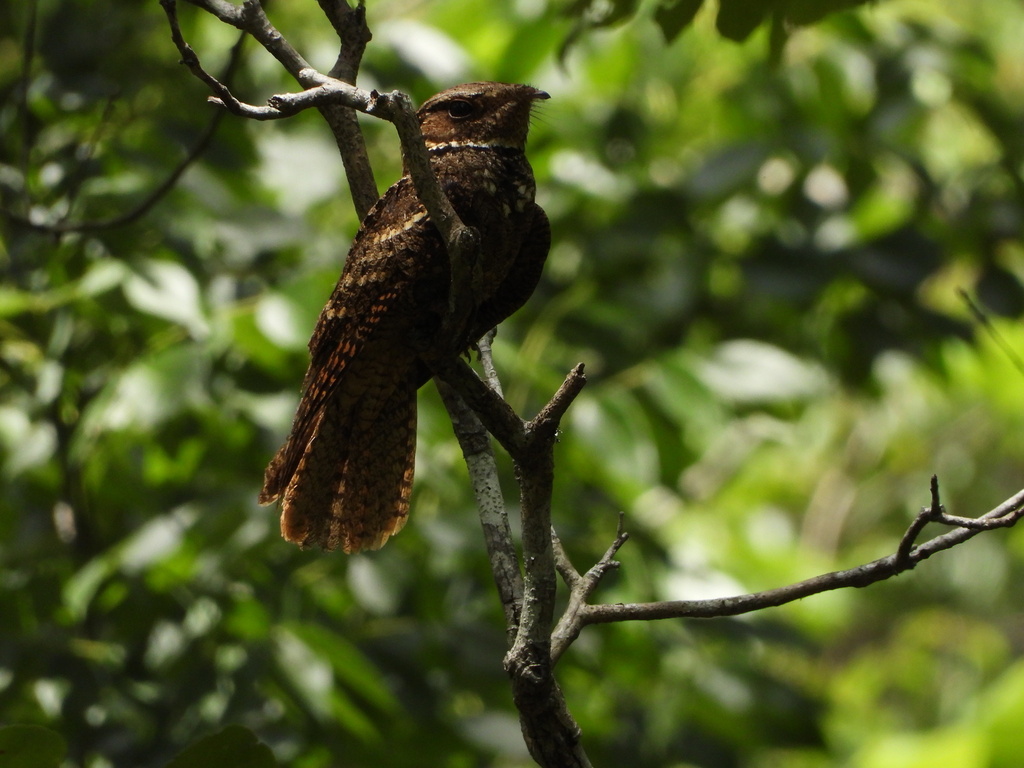
- Chuck-will's-widowCaprimulgus carolinensis
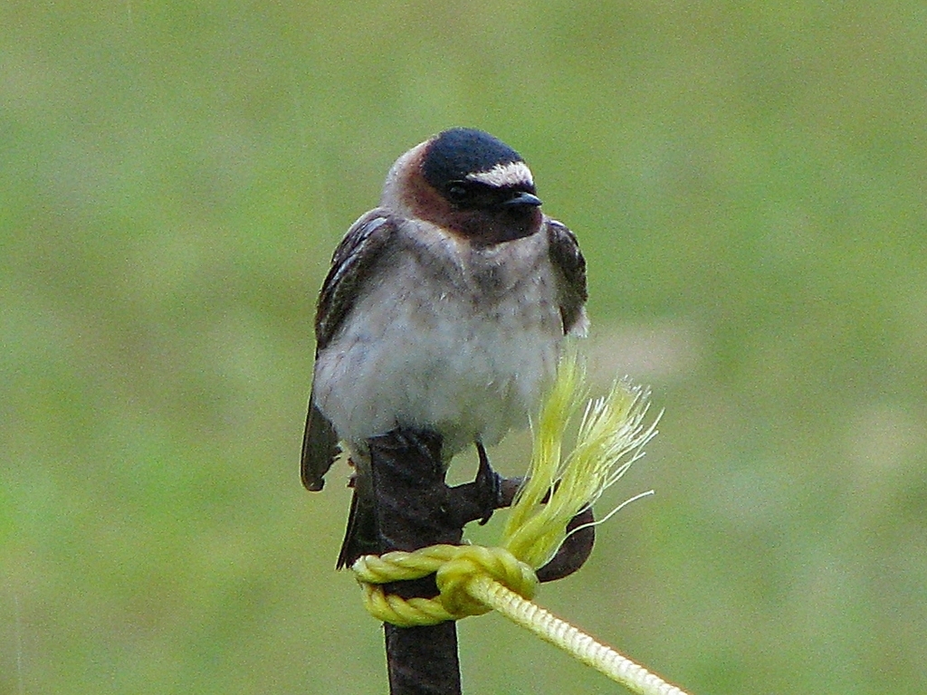
- Cliff SwallowPetrochelidon pyrrhonota
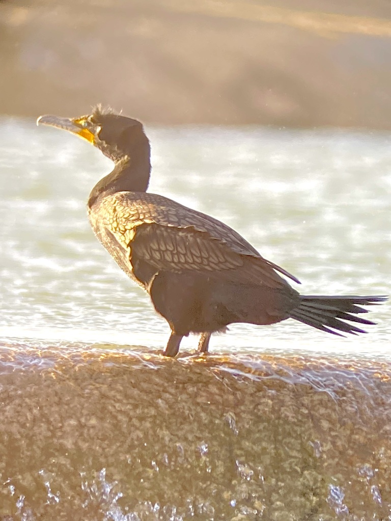
- Double-crested CormorantPhalacrocorax auritus
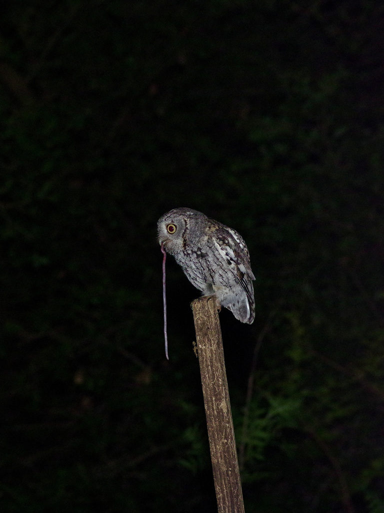
- Eastern Screech-owlMegascops asio
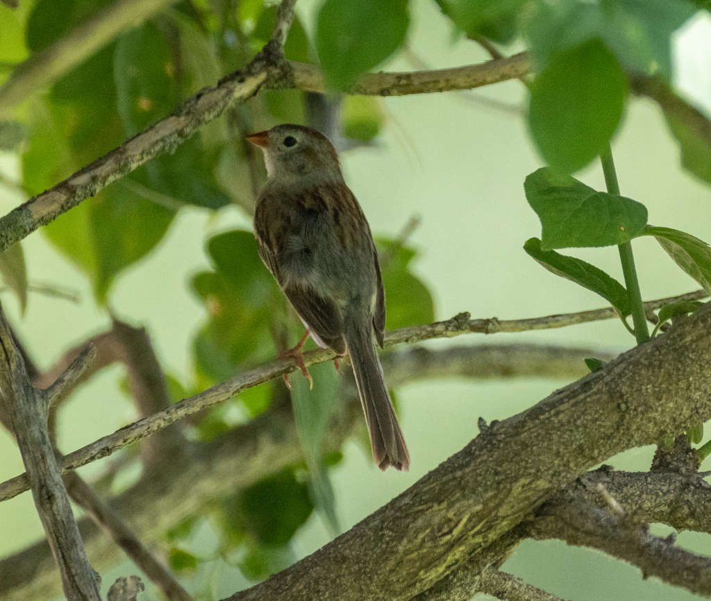
- Field SparrowSpizella pusilla


NatureServe Explorer, CC BY 4.0. USGS Gap Analysis Project habitat models.
Sources
- USGS Gap Analysis Project habitat models (2001)
- USGS GAP winter habitat model for Golden Eagle Elevation 0 to 3,630 m
- USGS Gap Analysis Project range maps (2001), modeled by watershed; migratory gives no dates
- NatureServe Explorer (CC BY 4.0), habitat names
- US Census TIGER/Line counties
- Names follow the USGS Gap Analysis Project (2001)