

Bird
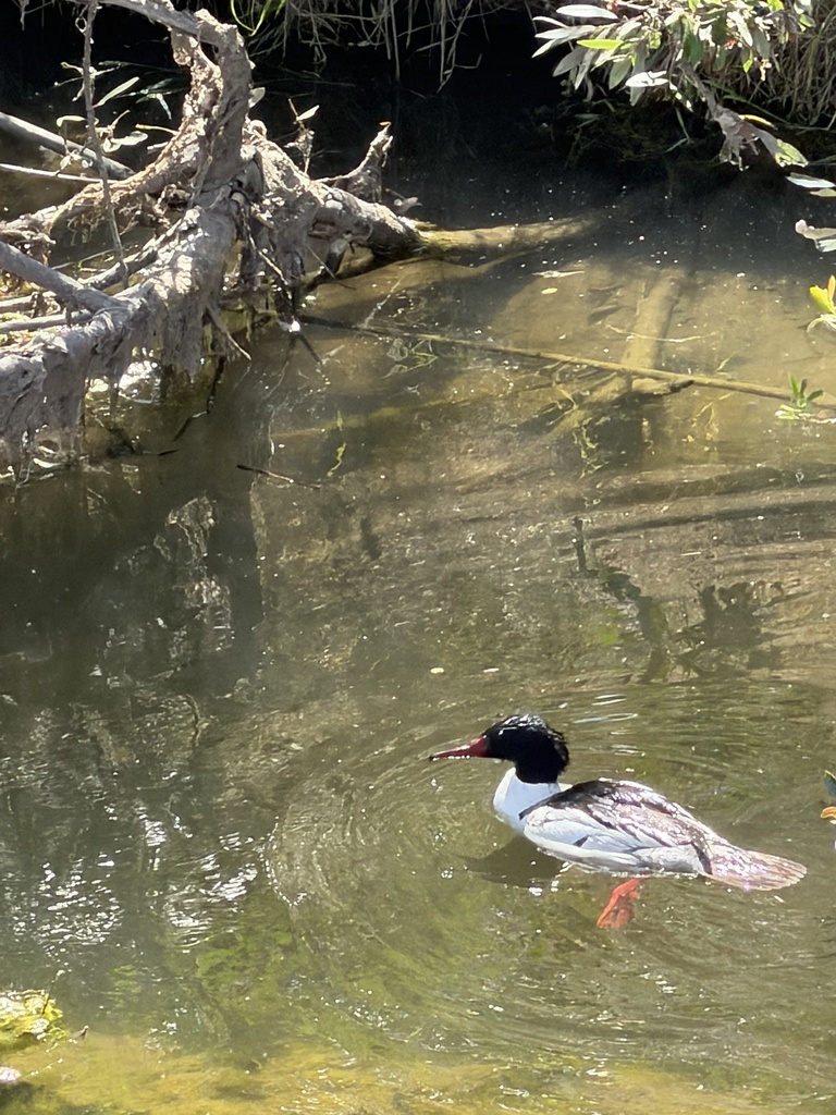
Common Merganser
Mergus merganser
A winter visitor to Virginia, found in 56 of 133 counties and cities and 2 habitats.
- Here
- Winter
- Nesting
- Not known to nest here
- Range
- 56 of 133 counties and cities
- Habitats
- 2
At a glance
- Group
- Birds
- Here
- Winter
- Nesting
- Not known to nest here
- Range
- 56 of 133 counties and cities
- Habitats
- 2
- Habitat models
- Winter
Where it lives
The places its habitat model includes. It is not found everywhere a habitat occurs.
Habitats in Virginia 2
Each habitat page lists the plants and wildlife also found there.
1 of 2
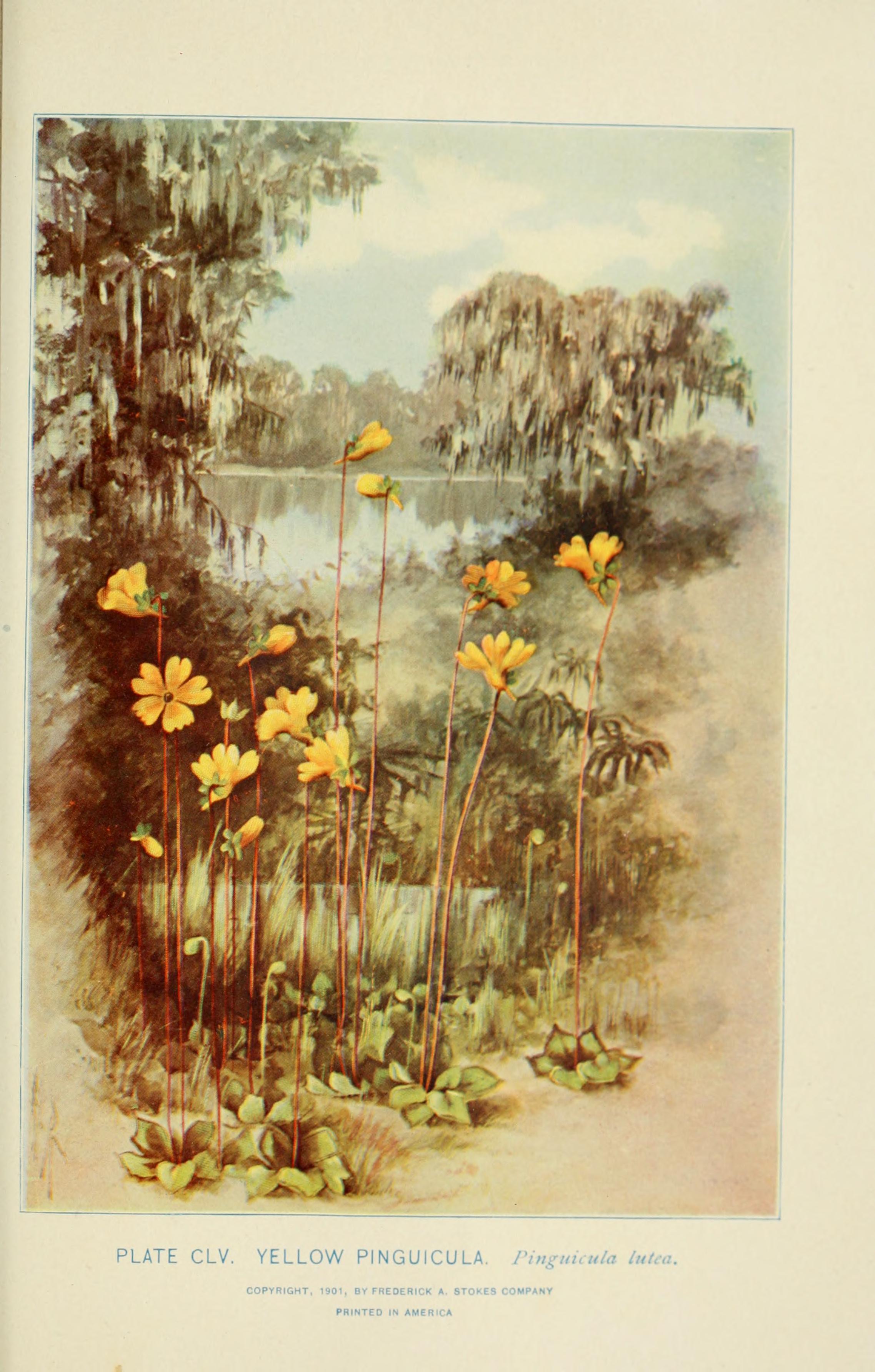
Salt and brackish open water of sounds, bays and estuaries, with the mud and sand flats and seagrass beds that tides cover and uncover; the vegetated marsh is salt and brackish marshes.
Seasons in Virginia
- Winter: does not nest here, in 56 of 133 counties and cities.
Also found in this habitat
Wildlife 138
Other animals whose habitat models include the same habitats in Virginia. Not sighting records.
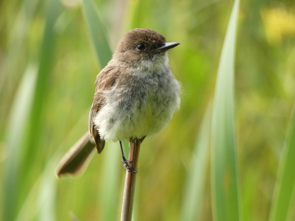
- Eastern PhoebeSayornis phoebe
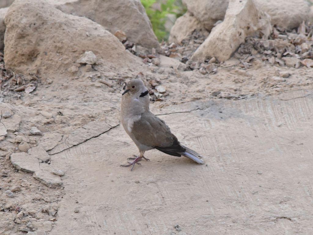
- Eurasian Collared-doveStreptopelia decaocto
- Eurasian WigeonAnas penelope
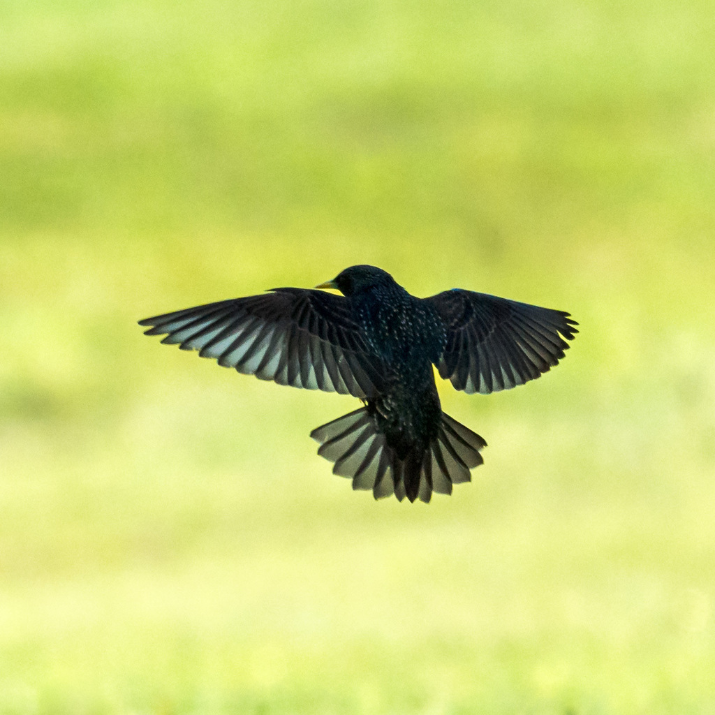
- European StarlingSturnus vulgaris
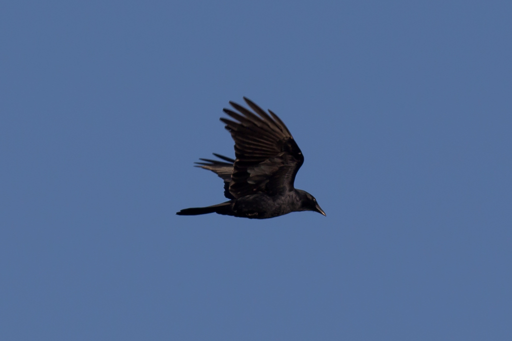
- Fish CrowCorvus ossifragus
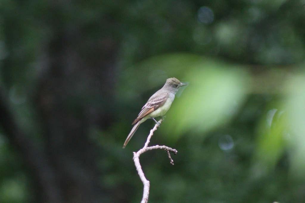
- Great Crested FlycatcherMyiarchus crinitus
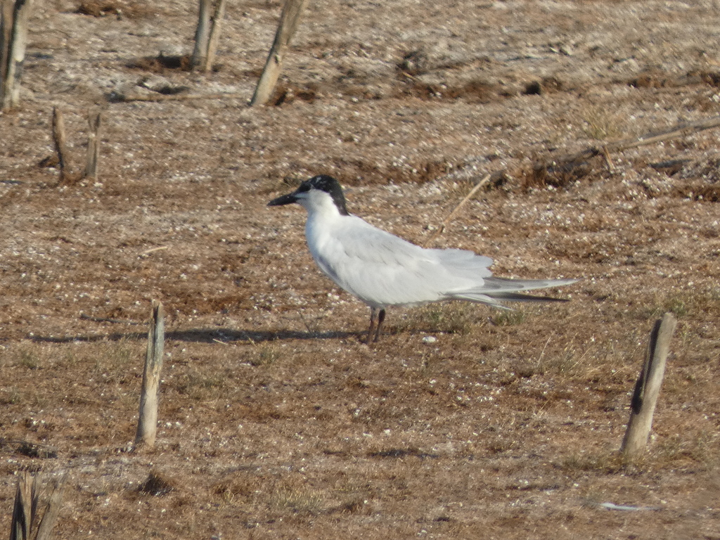
- Gull-billed TernGelochelidon nilotica
- Lapland LongspurCalcarius lapponicus
- Laughing GullLeucophaeus atricilla
- MallardAnas platyrhynchos
- Manx ShearwaterPuffinus puffinus
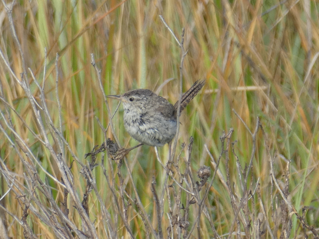
- Marsh WrenCistothorus palustris
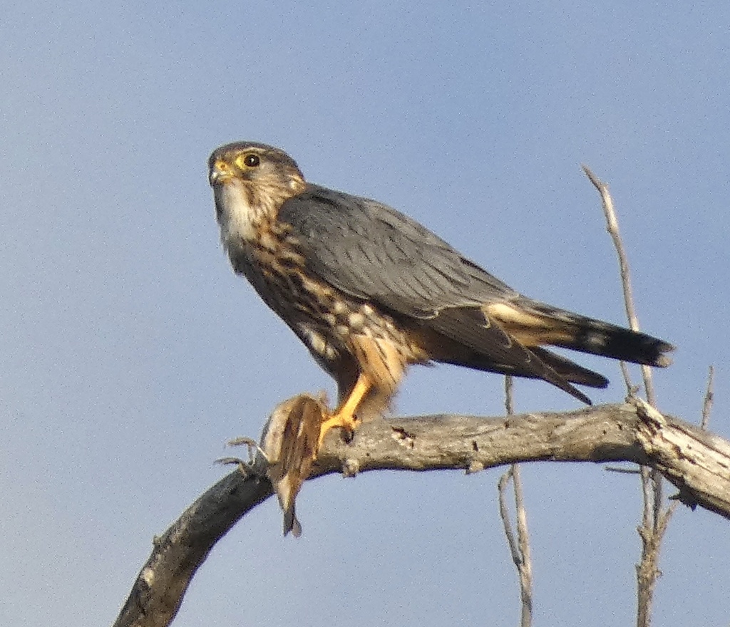
- MerlinFalco columbarius
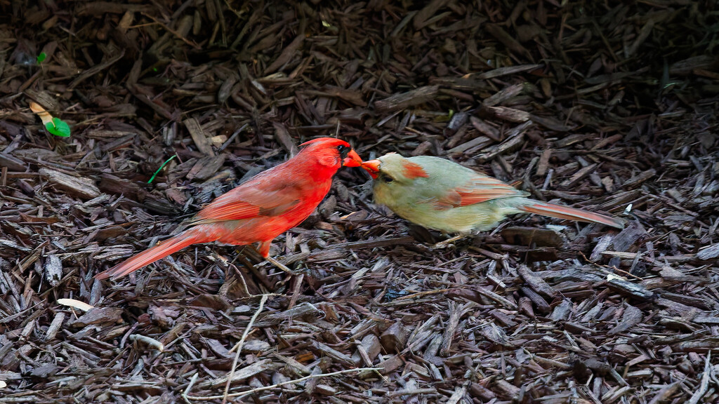
- Northern CardinalCardinalis cardinalis
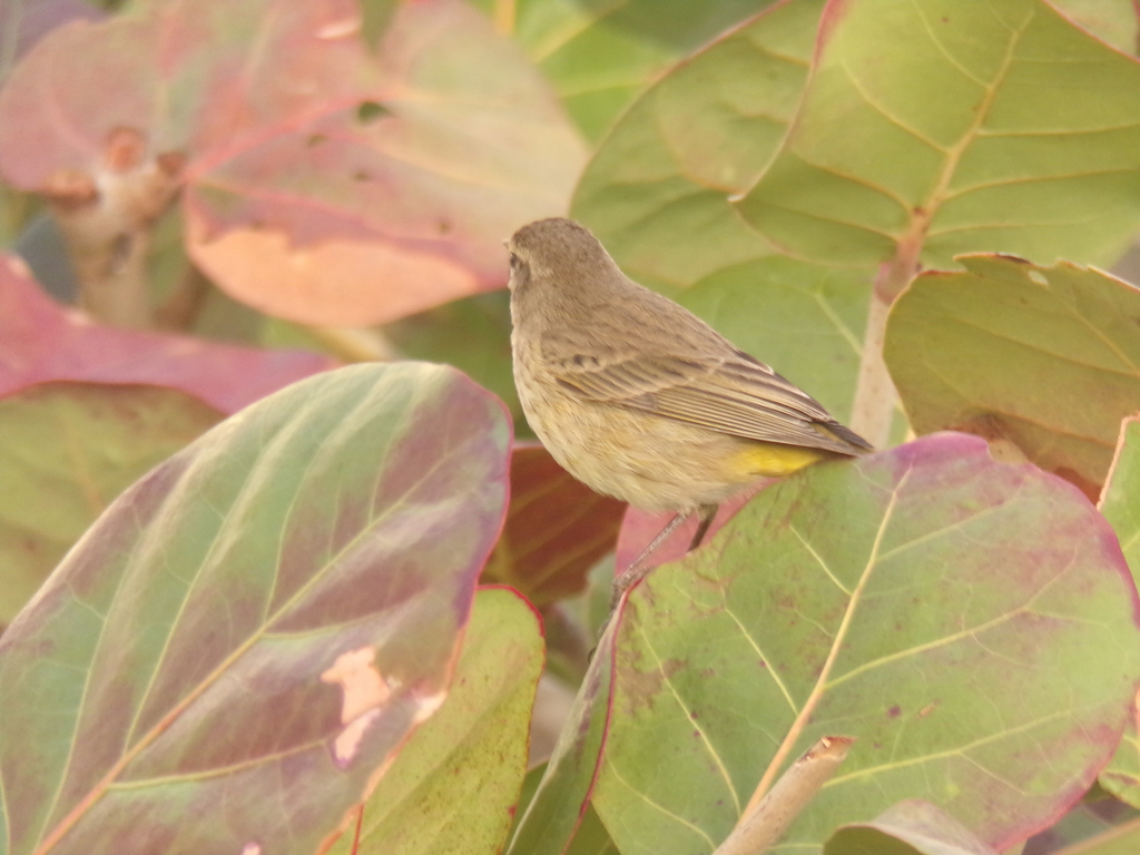
- Palm WarblerDendroica palmarum
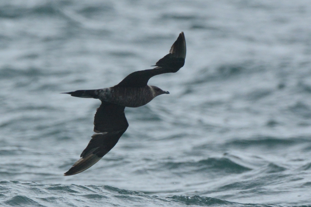
- Parasitic JaegerStercorarius parasiticus
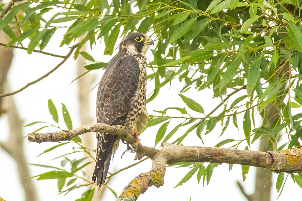
- Peregrine FalconFalco peregrinus
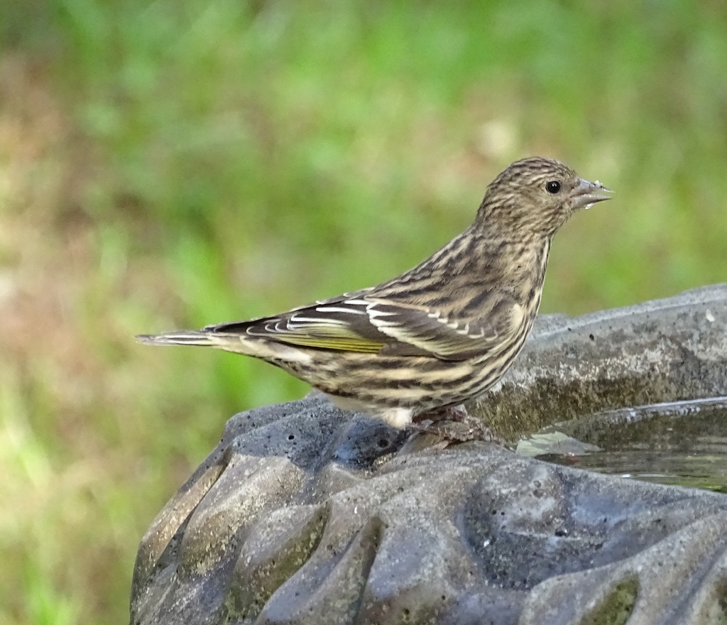
- Pine SiskinCarduelis pinus
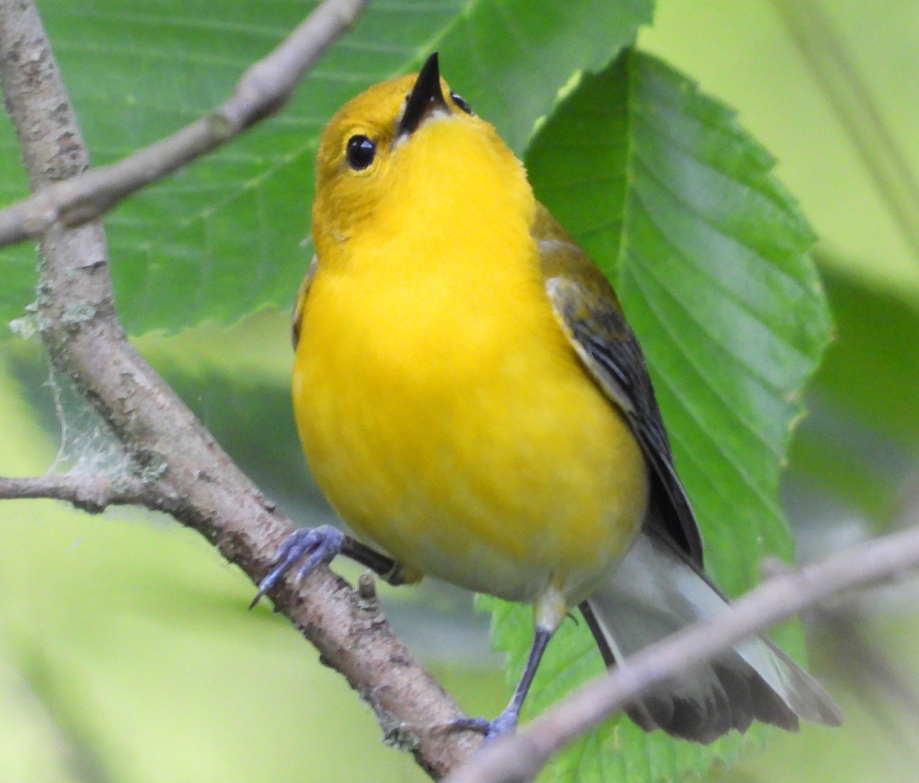
- Prothonotary WarblerProtonotaria citrea
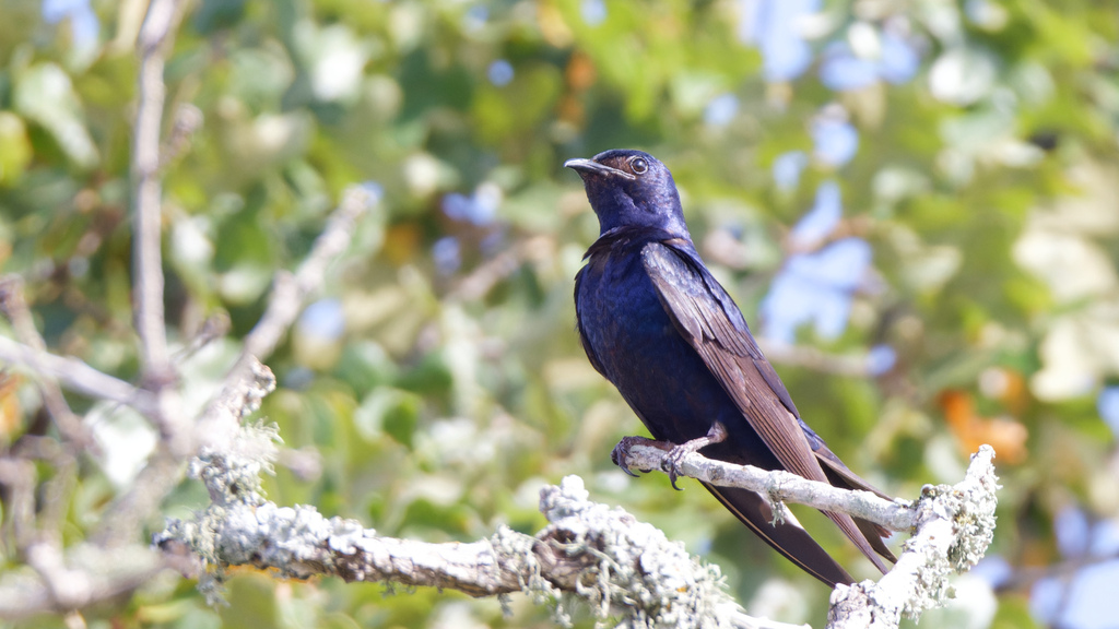
- Purple MartinProgne subis
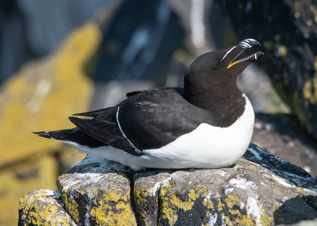
- RazorbillAlca torda
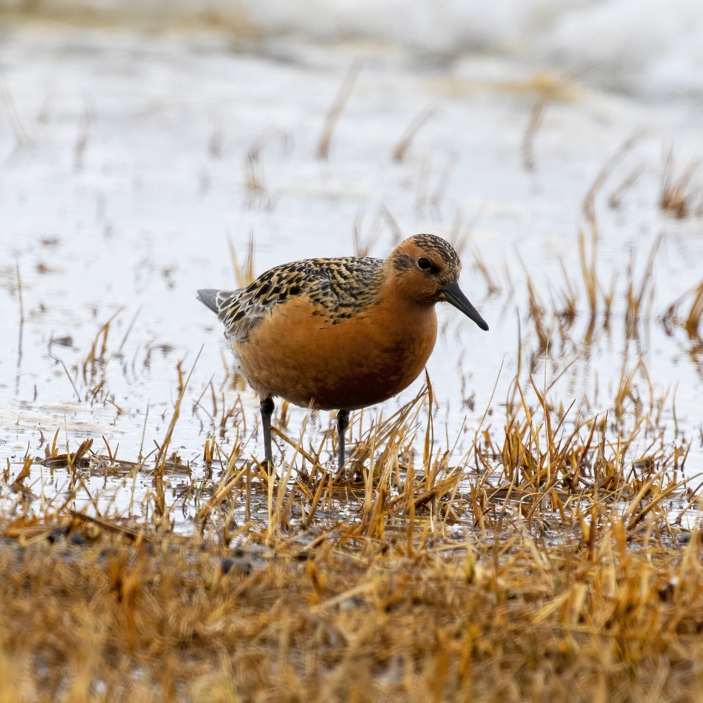
- Red KnotCalidris canutus
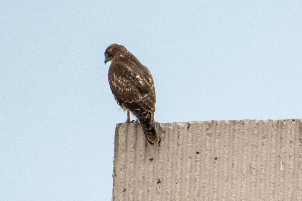
- Red-tailed HawkButeo jamaicensis
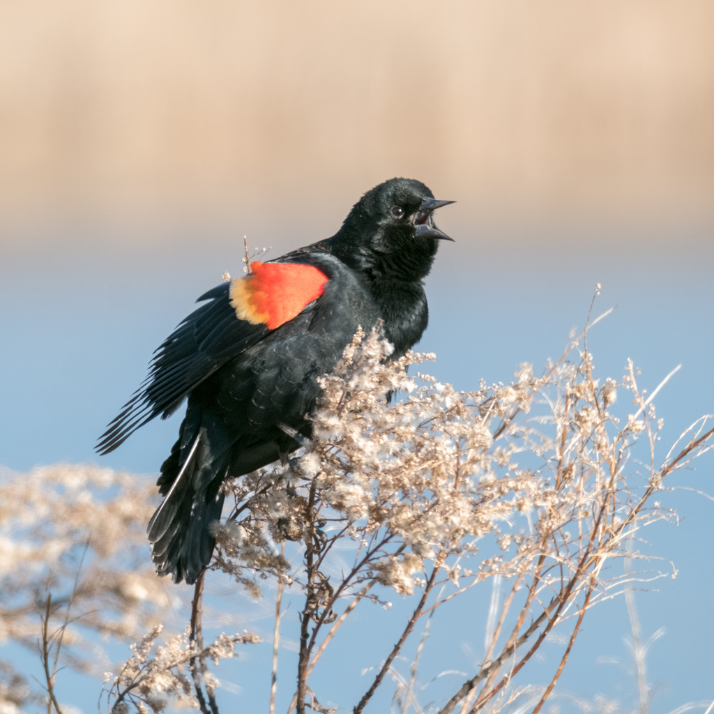
- Red-winged BlackbirdAgelaius phoeniceus

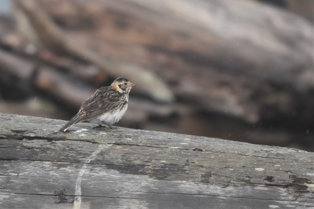
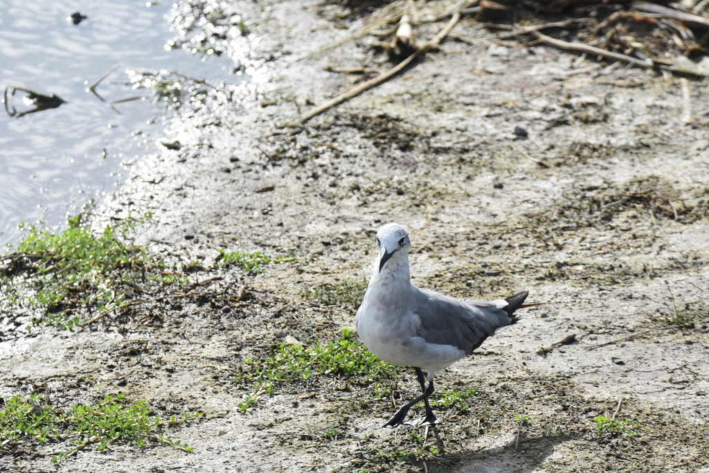
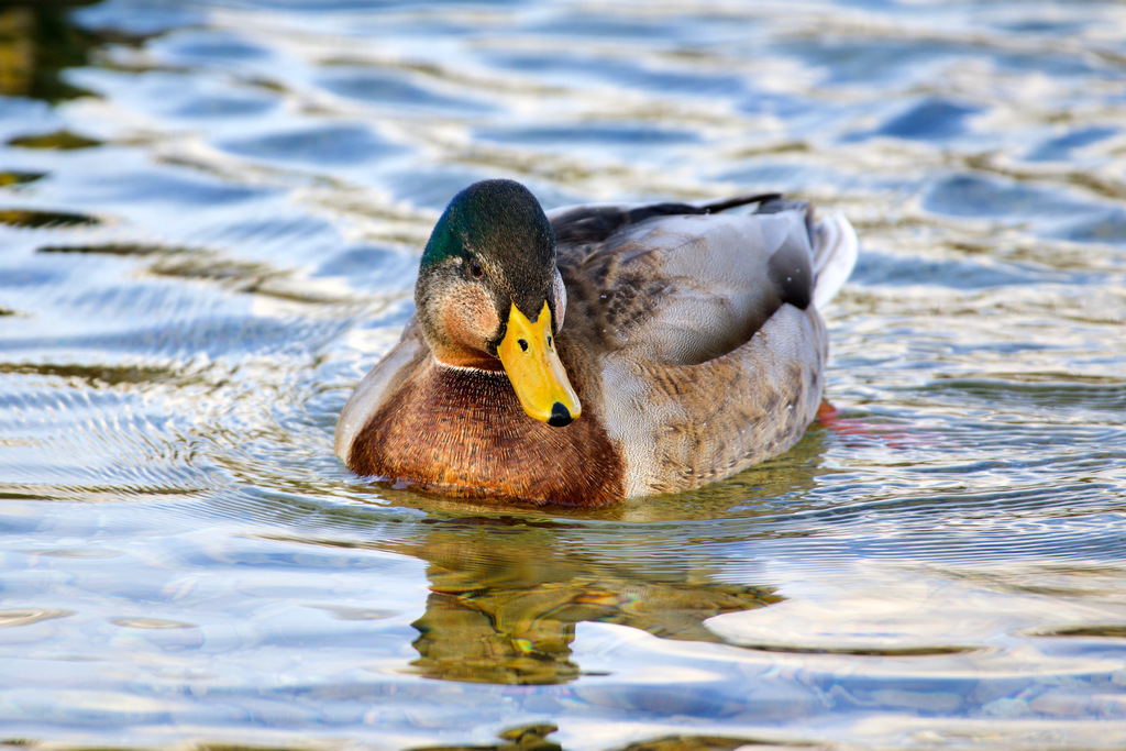
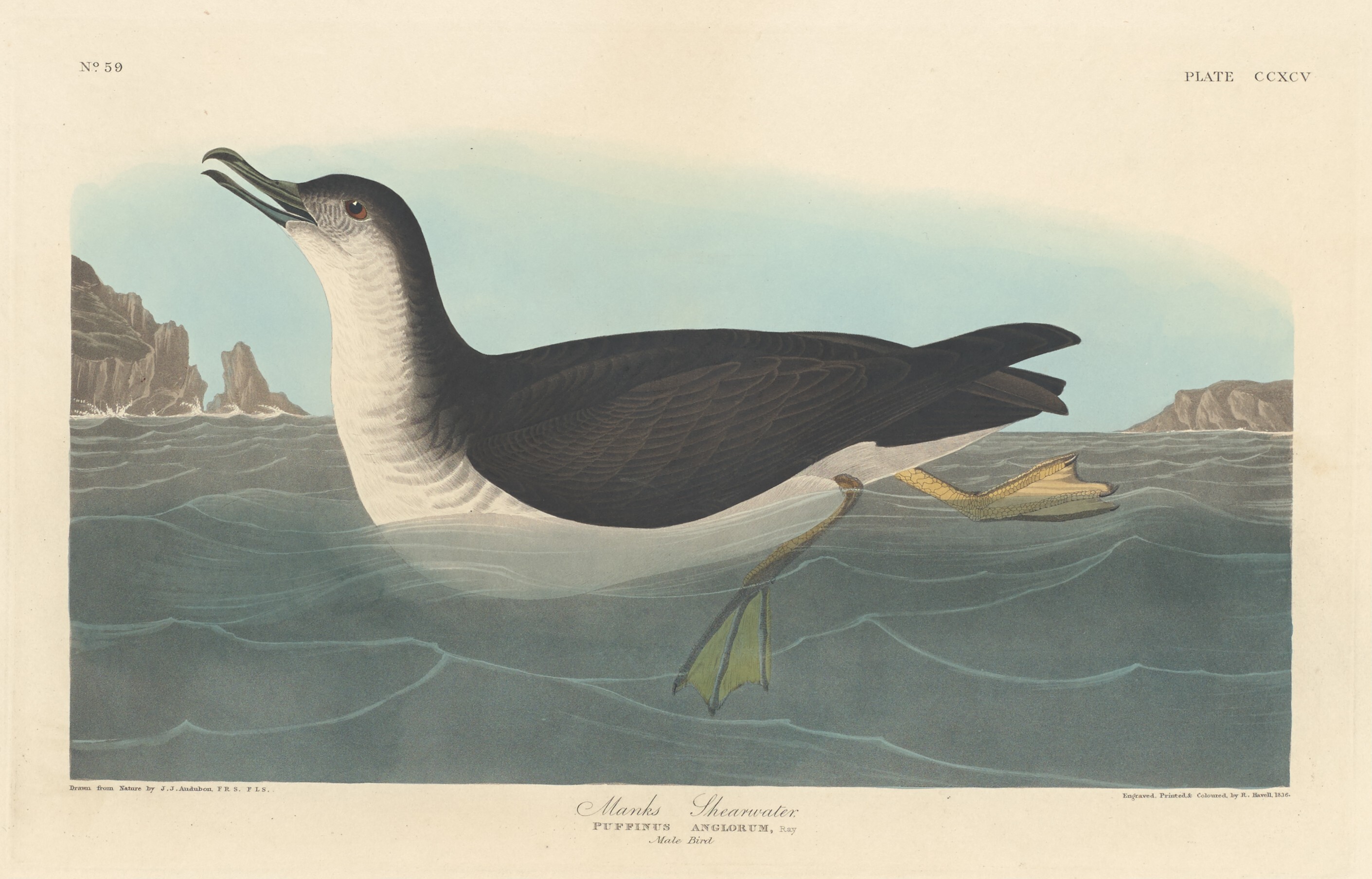
NatureServe Explorer, CC BY 4.0. USGS Gap Analysis Project habitat models.
Sources
- USGS Gap Analysis Project habitat models (2001)
- USGS GAP winter habitat model for Common Merganser
- USGS Gap Analysis Project range maps (2001), modeled by watershed; migratory gives no dates
- NatureServe Explorer (CC BY 4.0), habitat names
- US Census TIGER/Line counties
- Names follow the USGS Gap Analysis Project (2001)