

Bird
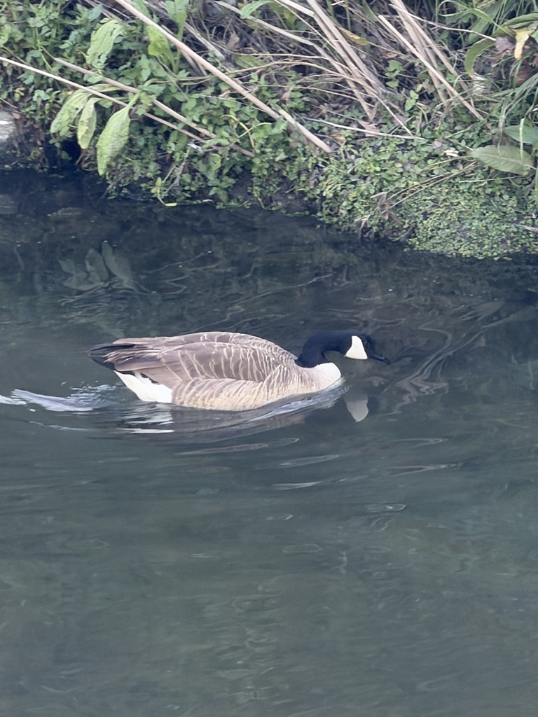
Canada Goose
Branta canadensis
Lives in Virginia all year and nests here. Found in all 133 counties and cities, across 16 habitats.
- Here
- All year
- Nesting
- Nests here
- Range
- All 133 counties and cities
- Habitats
- 16
At a glance
- Group
- Birds
- Here
- All year
- Nesting
- Nests here
- Range
- All 133 counties and cities
- Habitats
- 16
- Habitat models
- Summer, Winter
Where it lives
The places its habitat model includes. It is not found everywhere a habitat occurs.
Habitats in Virginia 16
Each habitat page lists the plants and wildlife also found there.
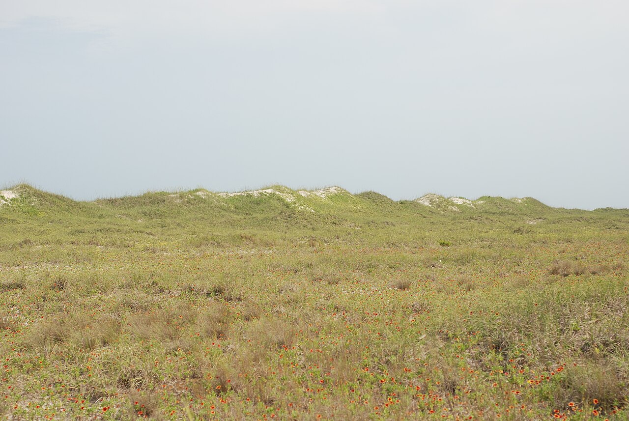
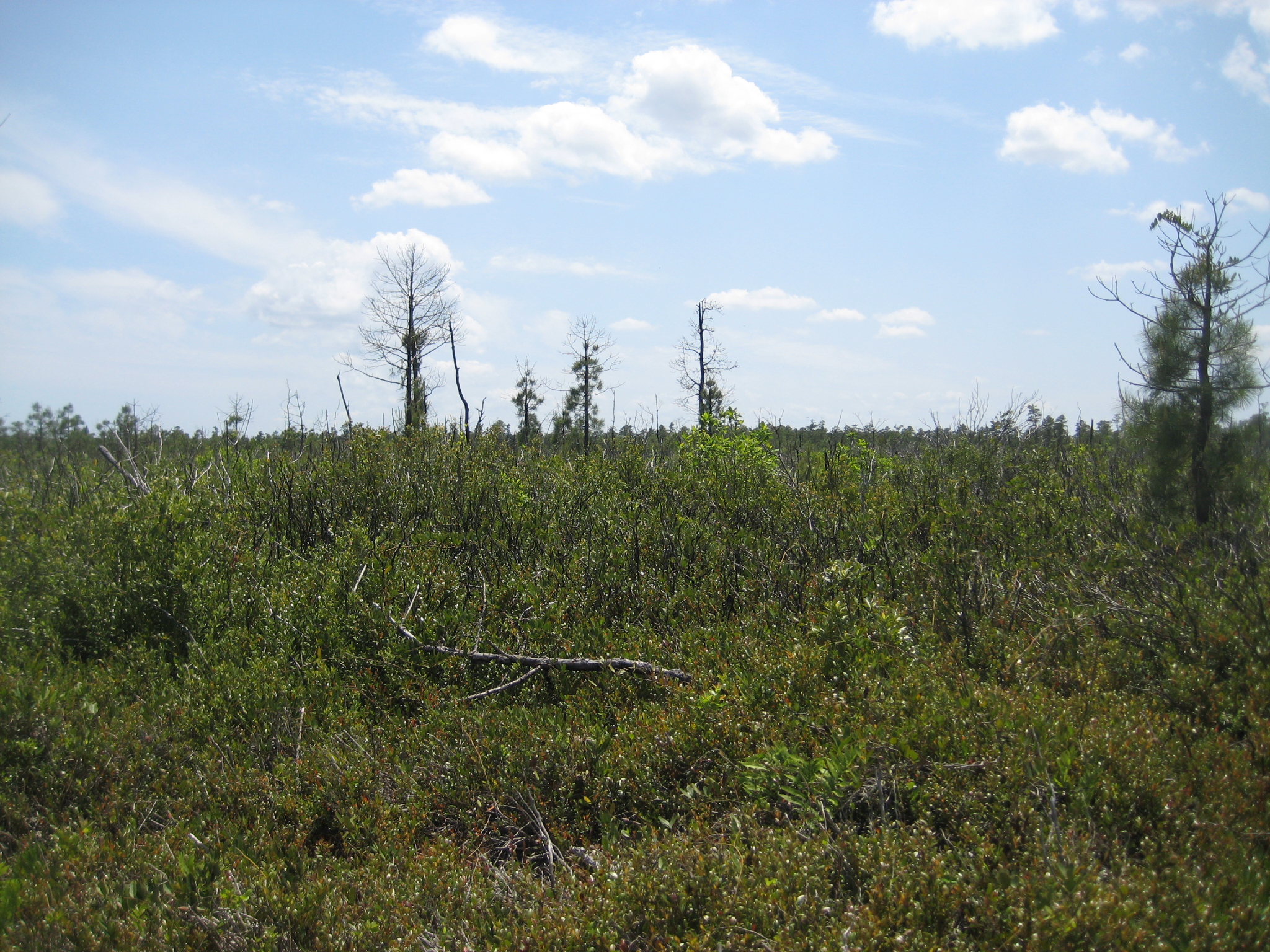
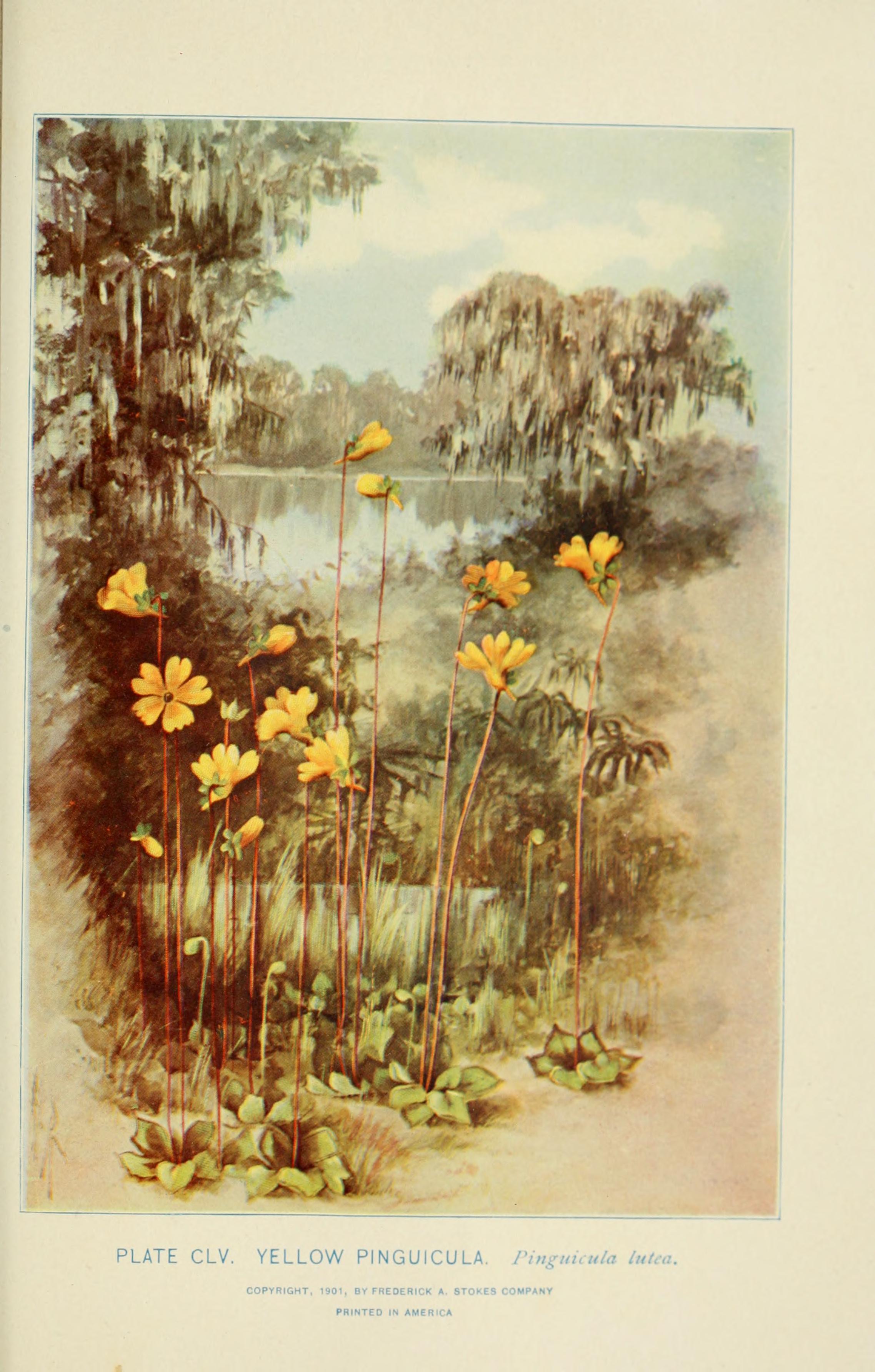
Streams, rivers and their banks
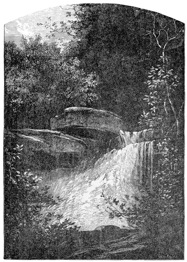
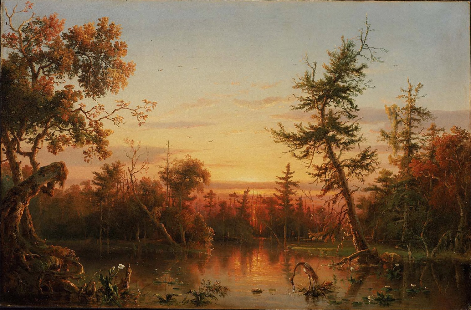
Coastal tidal marshes (salinity not stated)
Tidal marshes of the Atlantic and Gulf coasts where the source does not say whether the water is fresh, brackish or salt. A stated salinity files the marsh under freshwater tidal marshes or salt and brackish marshes instead.
Depression ponds and limesinks
Shallow ponds in Coastal Plain depressions, such as limesinks and the ponds in some Carolina bays, that rise and fall with the seasons.
Disturbed and introduced wetlands
Wet ground taken over by weedy or introduced plants after disturbance, such as common reed, Chinese tallow or tamarisk stands; the upland counterpart is roadsides, fields and disturbed ground.
Floodplain and bottomland forests
Forests on low ground beside rivers and streams that flood from time to time.
Marshes along tidal rivers where the water is fresh but rises and falls with the tide.
Wet, open, peaty mountain wetlands fed by seepage, often with sphagnum moss.
Salt and brackish open water of sounds, bays and estuaries, with the mud and sand flats and seagrass beds that tides cover and uncover; the vegetated marsh is salt and brackish marshes.
Roadsides, fields and disturbed ground
Ground opened by people: roadsides, old fields, pastures, fencerows and lots.
Tree plantations and managed pine
Planted or intensively managed stands of pine or hardwoods grown for timber; a land use rather than a natural community.
Other habitats in its models (82)
Land cover, or classes with no habitat page in Virginia.
- Developed, Low Intensity Summer and winter, only within 500 m of water.
- Developed, Medium Intensity Summer and winter, only within 500 m of water.
- Open Water (Aquaculture) Summer and winter.
- Barren Land Summer and winter, only within 500 m of water.
- Atlantic Coastal Plain Southern Beach Winter.
- Unconsolidated Shore (Lake/River/Pond) Summer and winter.
- Unconsolidated Shore Summer and winter.
- Upper Texas Coast Beach Winter.
- Louisiana Beach Winter.
- Southeast Florida Beach Winter.
- Great Lakes Dune Summer.
- Atlantic Coastal Plain Sea Island Beach Winter.
- Texas Coastal Bend Beach Winter.
- East-Central Texas Plains Riparian Forest Summer and winter.
- East-Central Texas Plains Floodplain Forest Summer and winter.
- Lower Mississippi River Dune Woodland and Forest Summer and winter.
- Western Great Plains Wooded Draw and Ravine Summer and winter, only within 500 m of water.
- Atlantic Coastal Plain Xeric River Dune Summer and winter.
- Central Mixedgrass Prairie Summer and winter, only within 500 m of water.
- North-Central Interior Sand and Gravel Tallgrass Prairie Summer and winter, only within 500 m of water.
- Arkansas Valley Prairie and Woodland Summer and winter, only within 500 m of water.
- Central Tallgrass Prairie Summer and winter, only within 500 m of water.
- Southeastern Great Plains Tallgrass Prairie Summer and winter, only within 500 m of water.
- West Gulf Coastal Plain Southern Calcareous Prairie Summer and winter, only within 500 m of water.
- Atlantic Coastal Plain Southern Dune and Maritime Grassland Winter.
- Texas-Louisiana Coastal Prairie Summer and winter, only within 500 m of water.
- East Gulf Coastal Plain Dune and Coastal Grassland Summer and winter.
- Central and Upper Texas Coast Dune and Coastal Grassland Summer and winter.
- South Texas Dune and Coastal Grassland Summer and winter.
- Recently Logged Areas Summer and winter, only within 500 m of water.
- Harvested Forest - Grass/Forb Regeneration Summer and winter, only within 500 m of water.
- Recently Burned Summer and winter, only within 500 m of water.
- Recently Burned Forest Summer and winter, only within 500 m of water.
- Recently Burned Grassland Summer and winter, only within 500 m of water.
- Introduced Upland Vegetation - Forbland Summer and winter, only within 500 m of water.
- Introduced Upland Vegetation - Annual Grassland Summer and winter, only within 500 m of water.
- Introduced Upland Vegetation - Perennial Grassland Summer and winter, only within 500 m of water.
- Introduced Upland Vegetation - Perennial Grassland and Forbland Summer and winter, only within 500 m of water.
- Atlantic Coastal Plain Central Salt and Brackish Tidal Marsh Summer and winter.
- Atlantic Coastal Plain Indian River Lagoon Tidal Marsh Summer and winter.
- Mississippi Sound Salt and Brackish Tidal Marsh Summer and winter.
- Southern Coastal Plain Nonriverine Basin Swamp - Okefenokee Pine Modifier Summer and winter.
- Southern Coastal Plain Nonriverine Basin Swamp - Okefenokee Nupea Modifier Summer and winter.
- Atlantic Coastal Plain Clay-Based Carolina Bay Herbaceous Wetland Summer and winter.
- Southern Coastal Plain Seepage Swamp and Baygall Summer and winter.
- West Gulf Coastal Plain Seepage Swamp and Baygall Summer and winter.
- East Gulf Coastal Plain Tidal Wooded Swamp Summer and winter.
- South Florida Everglades Sawgrass Marsh Summer and winter.
- Central Interior and Appalachian Shrub-Herbaceous Wetland Systems Summer and winter.
- Floridian Highlands Freshwater Marsh Summer and winter.
- Central Florida Herbaceous Seep Summer and winter.
- Florida Big Bend Fresh-Oligohaline Tidal Marsh Summer and winter.
- West Gulf Coastal Plain Near-Coast Large River Swamp Summer and winter.
- Southern Coastal Plain Nonriverine Basin Swamp Summer and winter.
- Southern Coastal Plain Herbaceous Seepage Bog Summer and winter.
- Atlantic Coastal Plain Central Fresh-Oligohaline Tidal Marsh Summer and winter.
- Atlantic Coastal Plain Clay-Based Carolina Bay Forested Wetland Summer and winter.
- East Gulf Coastal Plain Savanna and Wet Prairie Summer and winter.
- Texas Saline Coastal Prairie Summer and winter.
- Eastern Great Plains Wet Meadow, Prairie, and Marsh Summer and winter.
- Western Great Plains Depressional Wetland Systems Summer and winter.
- Central Florida Herbaceous Pondshore Summer and winter.
- East Gulf Coastal Plain Southern Depression Pondshore Summer and winter.
- Mississippi River Bottomland Depression Summer and winter.
- South Florida Freshwater Slough and Gator Hole Summer and winter.
- East Gulf Coastal Plain Large River Floodplain Forest - Herbaceous Modifier Summer and winter.
- South-Central Interior Large Floodplain - Herbaceous Modifier Summer and winter.
- Western Great Plains Floodplain Systems Summer and winter.
- Eastern Great Plains Floodplain Systems Summer and winter.
- Tamaulipan Riparian Systems Summer and winter.
- Mississippi River Riparian Forest Summer and winter.
- Cumberland Riverscour Summer and winter.
- Mississippi River Low Floodplain (Bottomland) Forest Summer and winter.
- West Gulf Coastal Plain Small Stream and River Forest Summer and winter.
- West Gulf Coastal Plain Large River Floodplain Forest Summer and winter.
- Atlantic Coastal Plain Small Blackwater River Floodplain Forest Summer and winter.
- Red River Large Floodplain Forest Summer and winter.
- Southern Coastal Plain Blackwater River Floodplain Forest Summer and winter.
- Texas-Louisiana Coastal Prairie Slough Summer and winter.
- Mississippi River Floodplain and Riparian Forest Summer and winter.
- Ozark-Ouachita Riparian Summer and winter.
- Lower Mississippi River Flatwoods Summer and winter, only within 500 m of water.
Seasons in Virginia
- Year-round: nests here, in all 133 counties and cities.
- Winter: does not nest here, in 4 of 133 counties and cities.
Also found in this habitat
Plants 731
Plants named in NatureServe descriptions of these habitats that grow in Virginia. Shared habitat, not food.
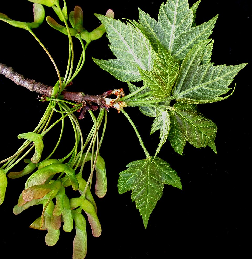
- Red MapleAcer rubrum
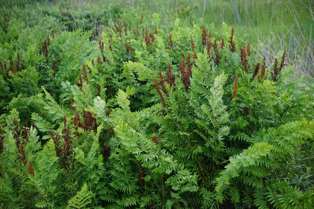
- Royal FernOsmunda spectabilis
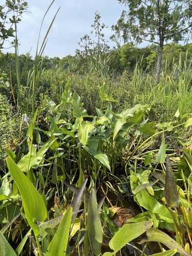
- Green Arrow-arumPeltandra virginica
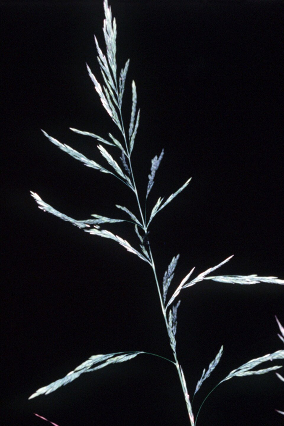
- Sweet WoodreedCinna arundinacea
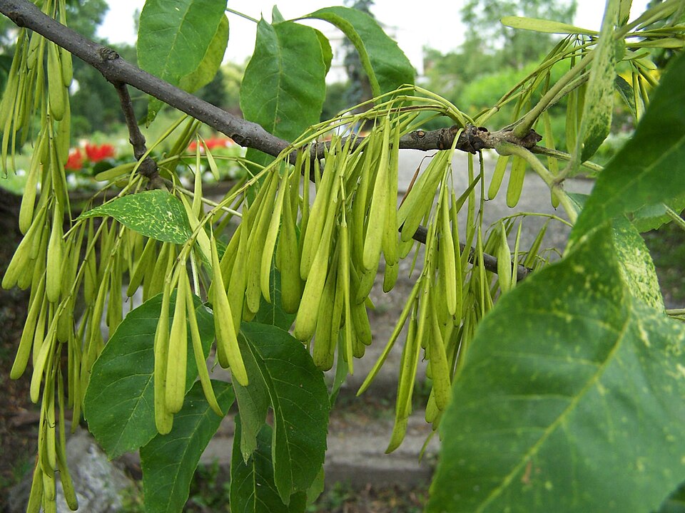
- Green AshFraxinus pennsylvanica
- Common WaxmyrtleMorella cerifera
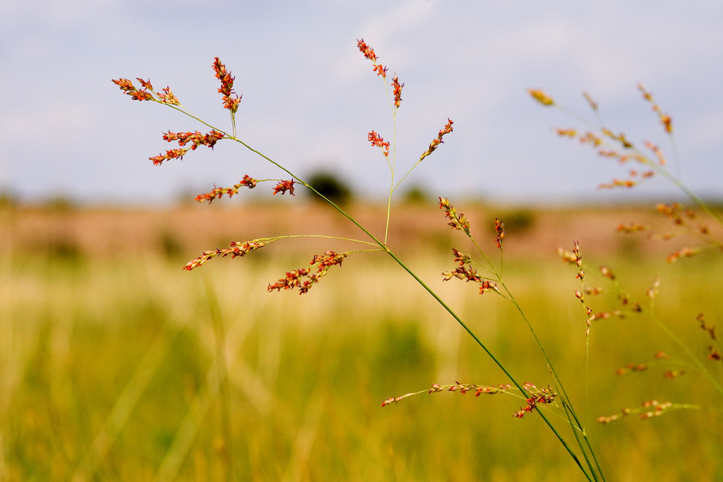
- SwitchgrassPanicum virgatum
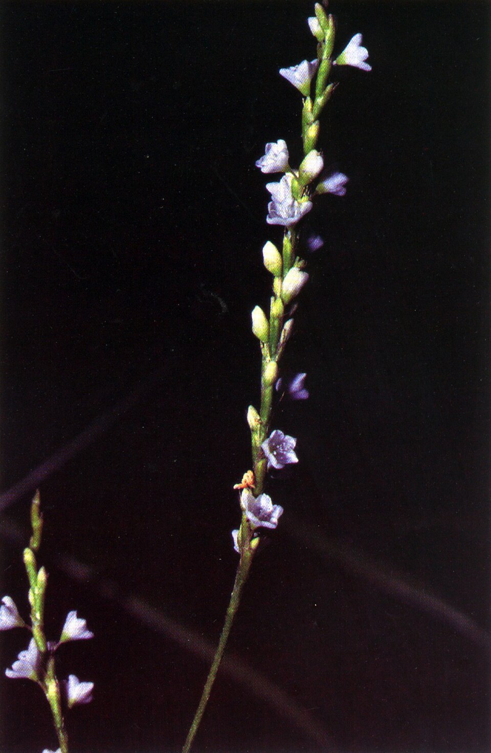
- Dotted SmartweedPersicaria punctata
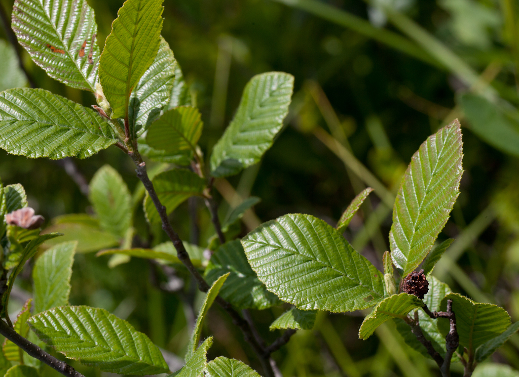
- Hazel AlderAlnus serrulata
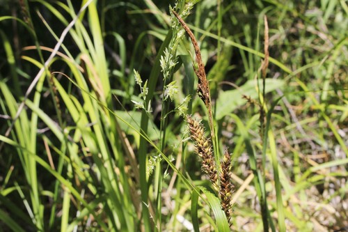
- Shoreline SedgeCarex hyalinolepis
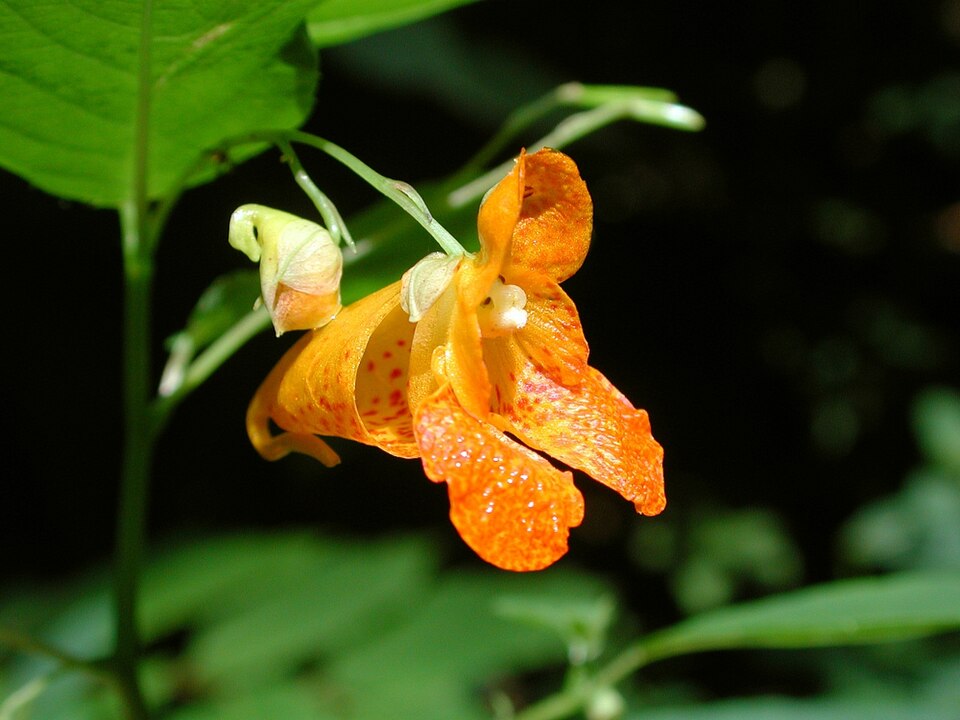
- Spotted JewelweedImpatiens capensis
- Rice CutgrassLeersia oryzoides
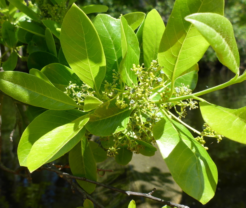
- Swamp TupeloNyssa biflora
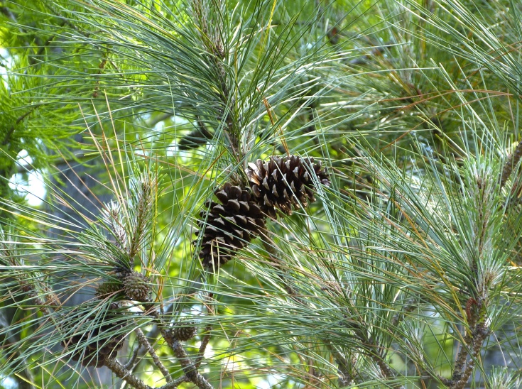
- Loblolly PinePinus taeda
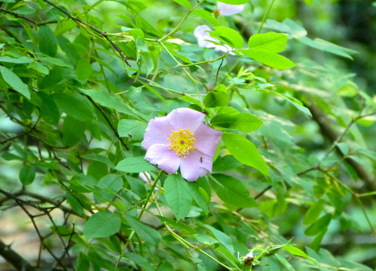
- Swamp RoseRosa palustris
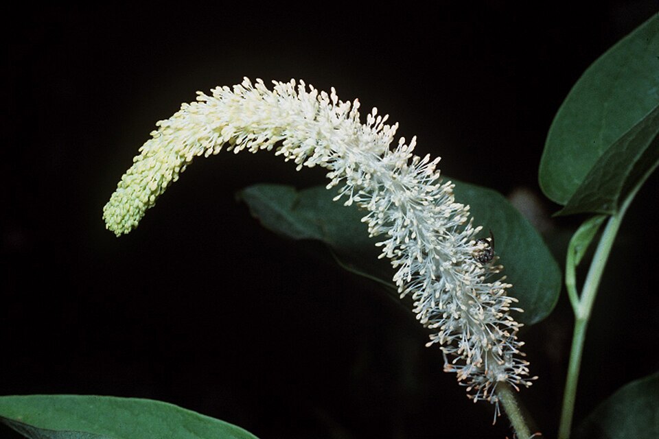
- Lizard's-tailSaururus cernuus
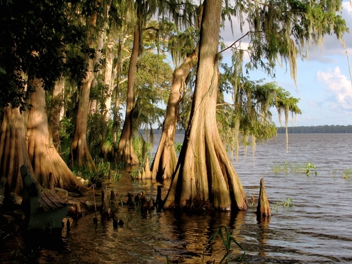
- Bald CypressTaxodium distichum
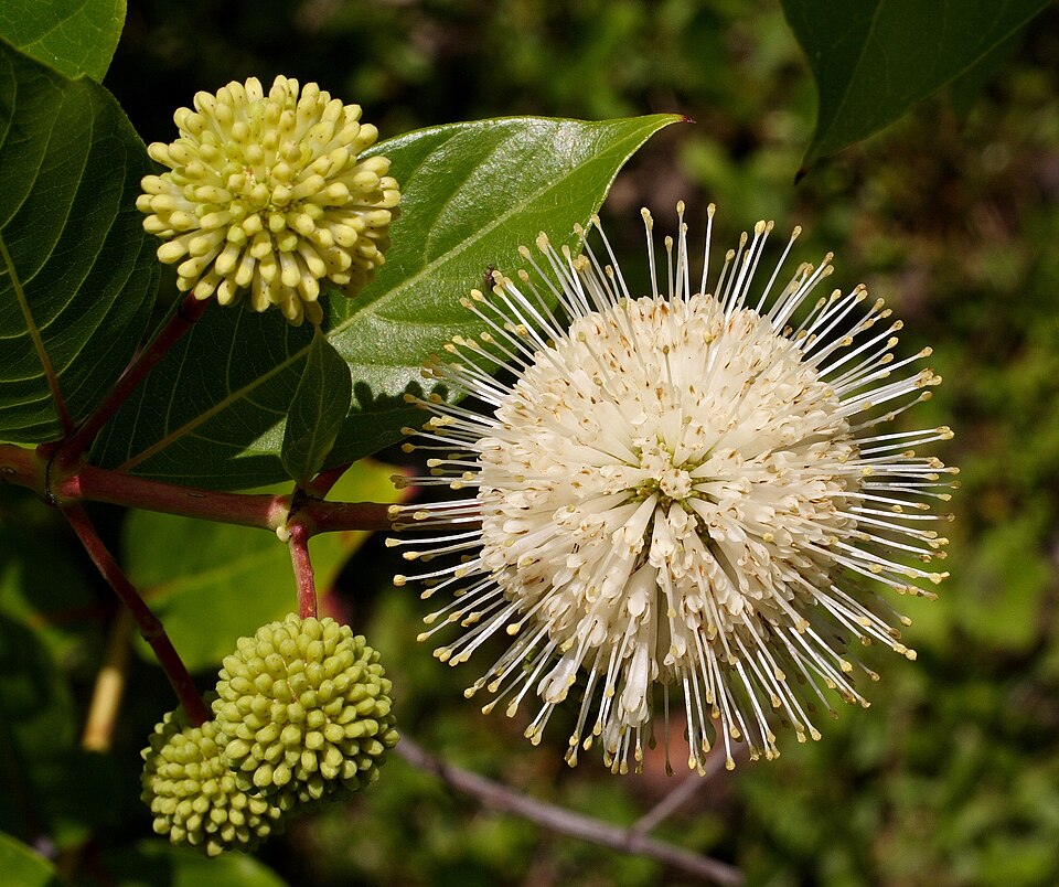
- ButtonbushCephalanthus occidentalis
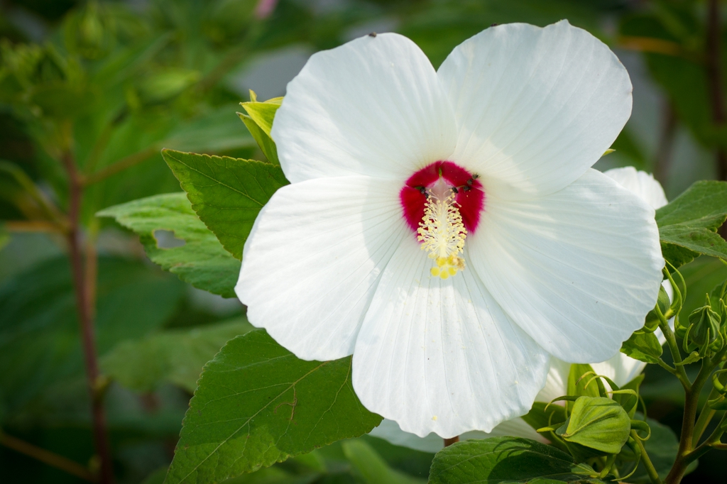
- Swamp RosemallowHibiscus moscheutos
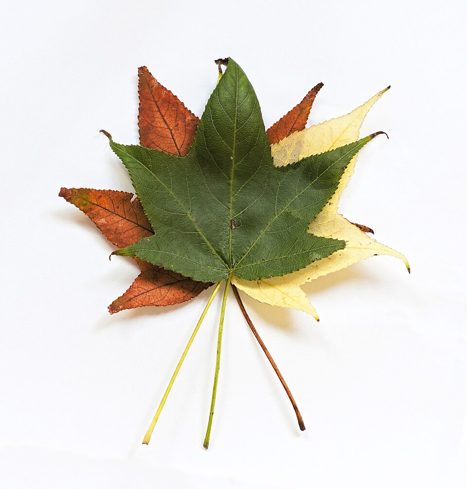
- SweetgumLiquidambar styraciflua
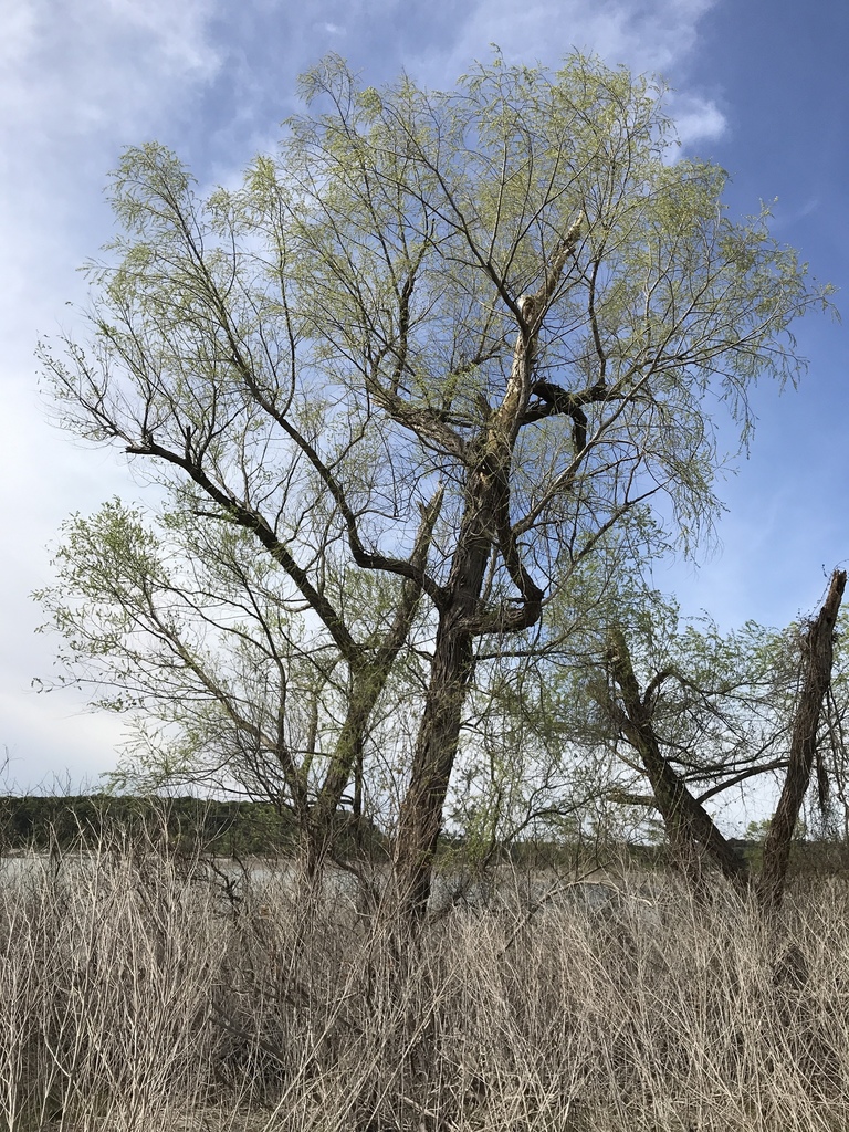
- Black WillowSalix nigra
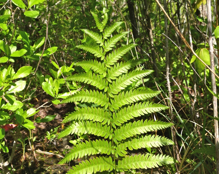
- Virginia Chain-fernAnchistea virginica
- River BirchBetula nigra
- False NettleBoehmeria cylindrica

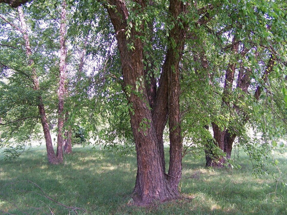
Wildlife 263
Other animals whose habitat models include the same habitats in Virginia. Not sighting records.
- American OystercatcherHaematopus palliatus
- Black SkimmerRynchops niger
- Black-bellied PloverPluvialis squatarola
- Black-billed CuckooCoccyzus erythropthalmus
- Blue-headed VireoVireo solitarius
- BrantBranta bernicla
- Broad-winged HawkButeo platypterus
- Brown CreeperCerthia americana
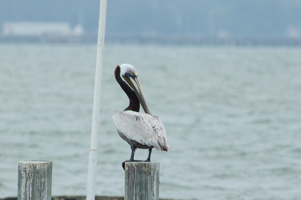
- Brown PelicanPelecanus occidentalis
- Brown ThrasherToxostoma rufum
- Brown-headed CowbirdMolothrus ater
- Eastern Brown PelicanPelecanus occidentalis carolinensis
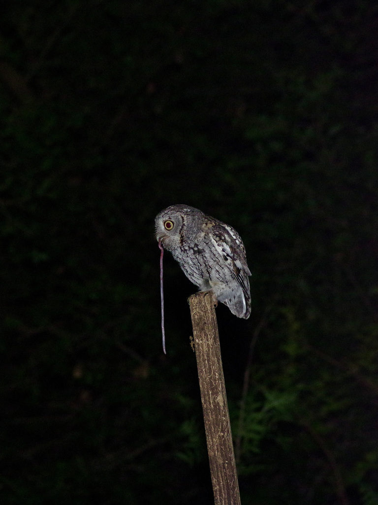
- Eastern Screech-owlMegascops asio
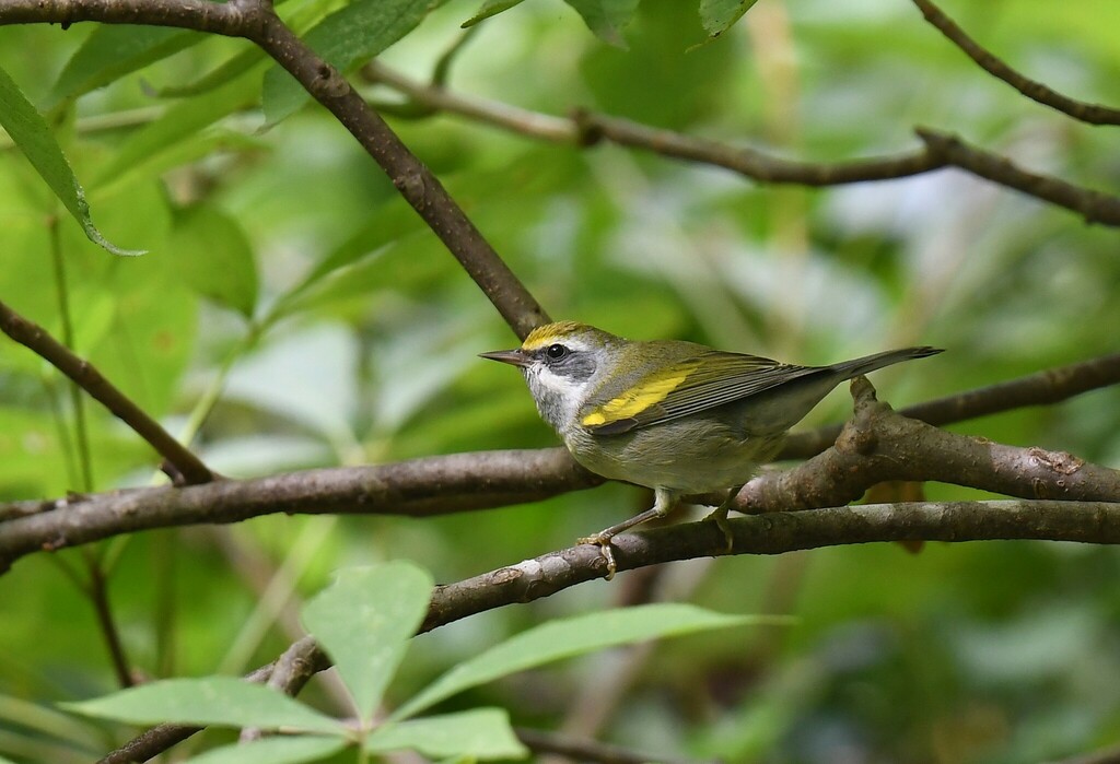
- Golden-winged WarblerVermivora chrysoptera
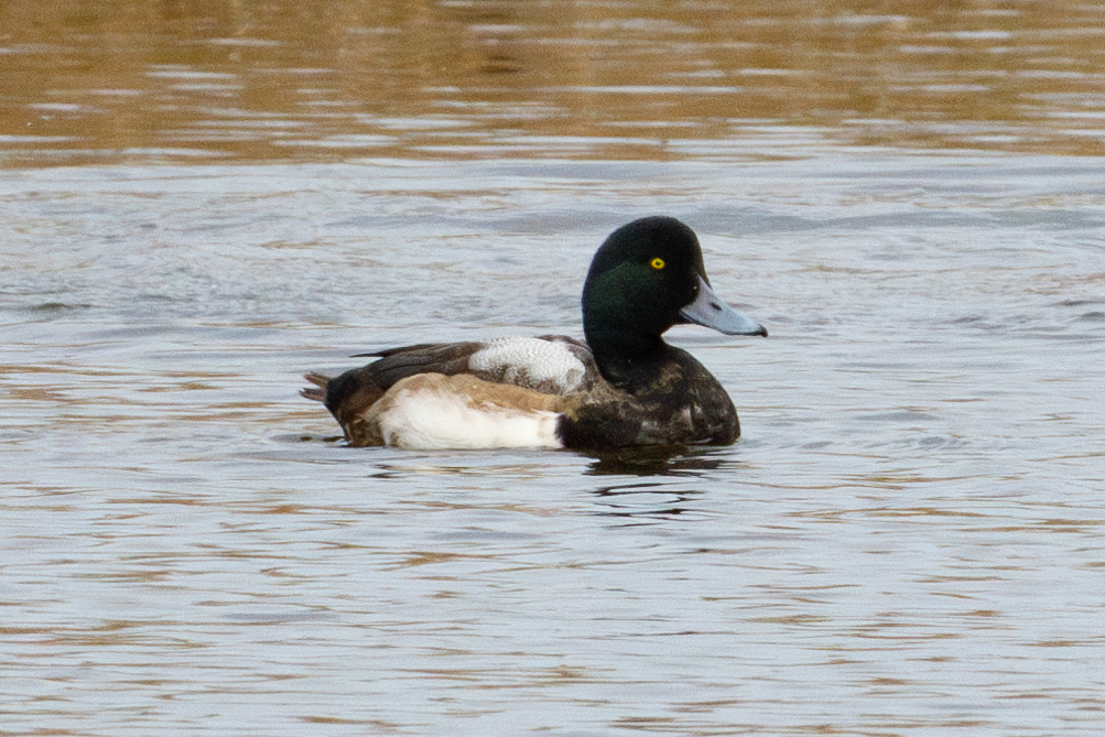
- Greater ScaupAythya marila
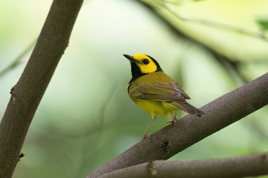
- Hooded WarblerWilsonia citrina
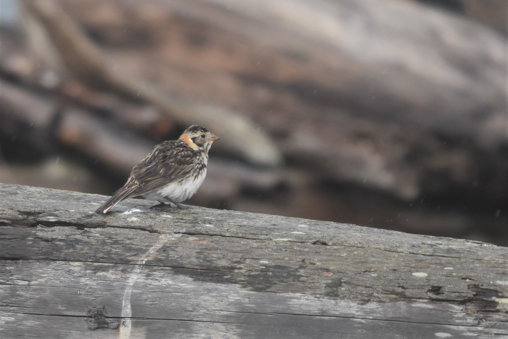
- Lapland LongspurCalcarius lapponicus
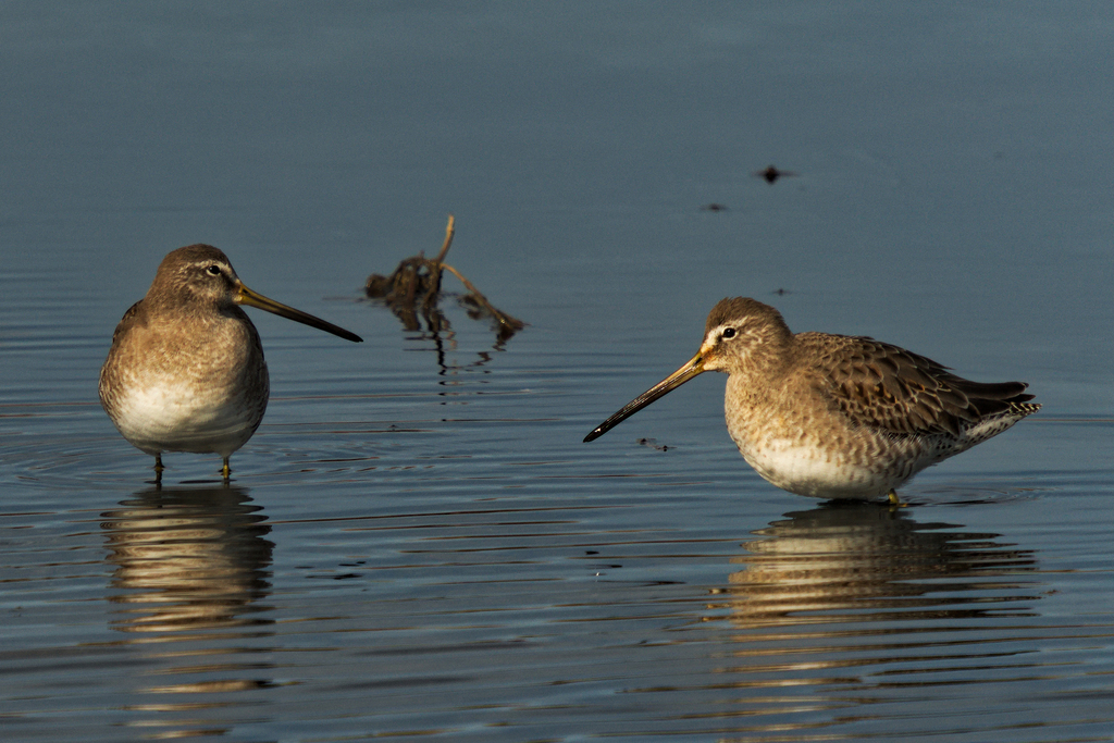
- Long-billed DowitcherLimnodromus scolopaceus
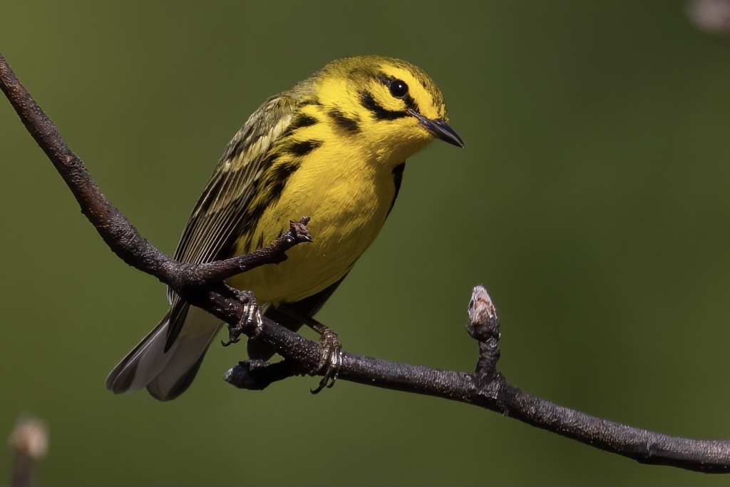
- Prairie WarblerDendroica discolor
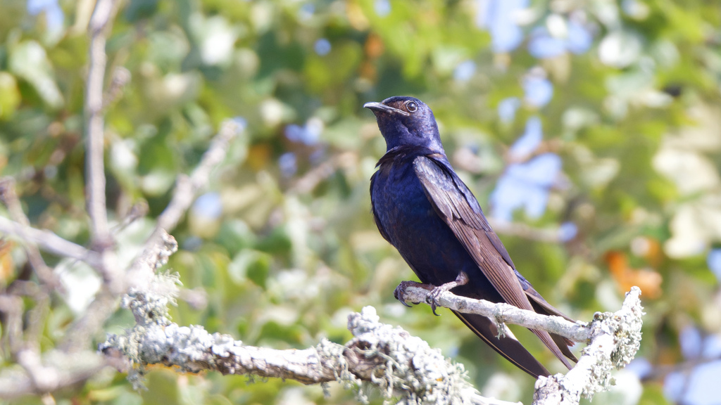
- Purple MartinProgne subis
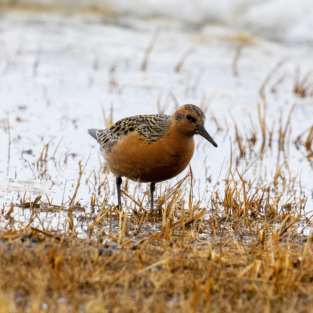
- Red KnotCalidris canutus
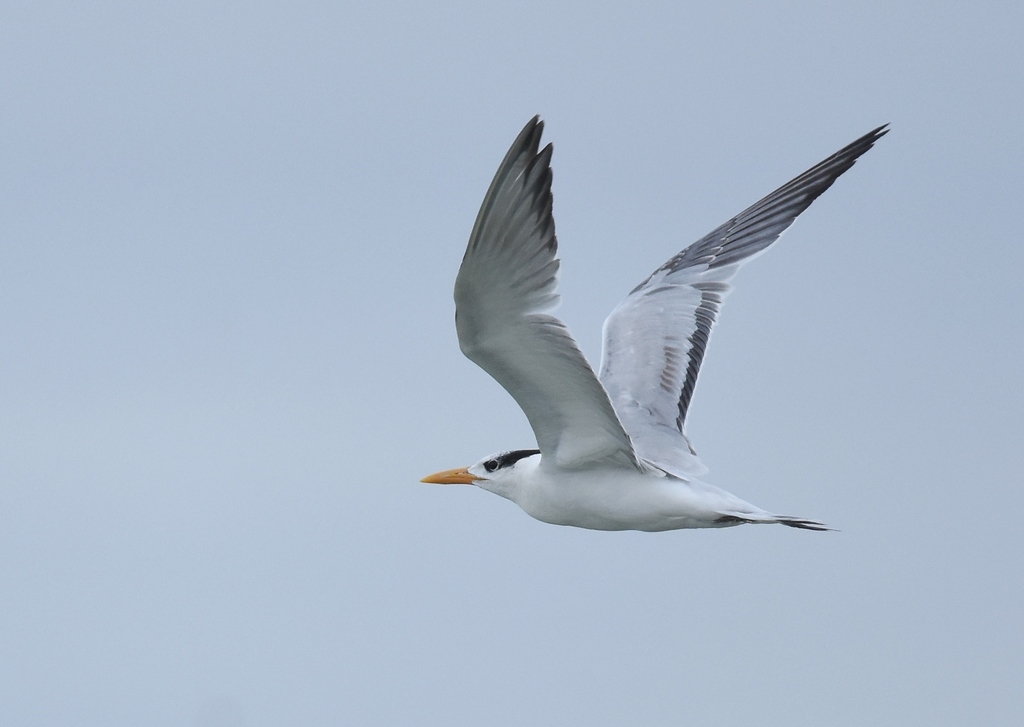
- Royal TernThalasseus maximus
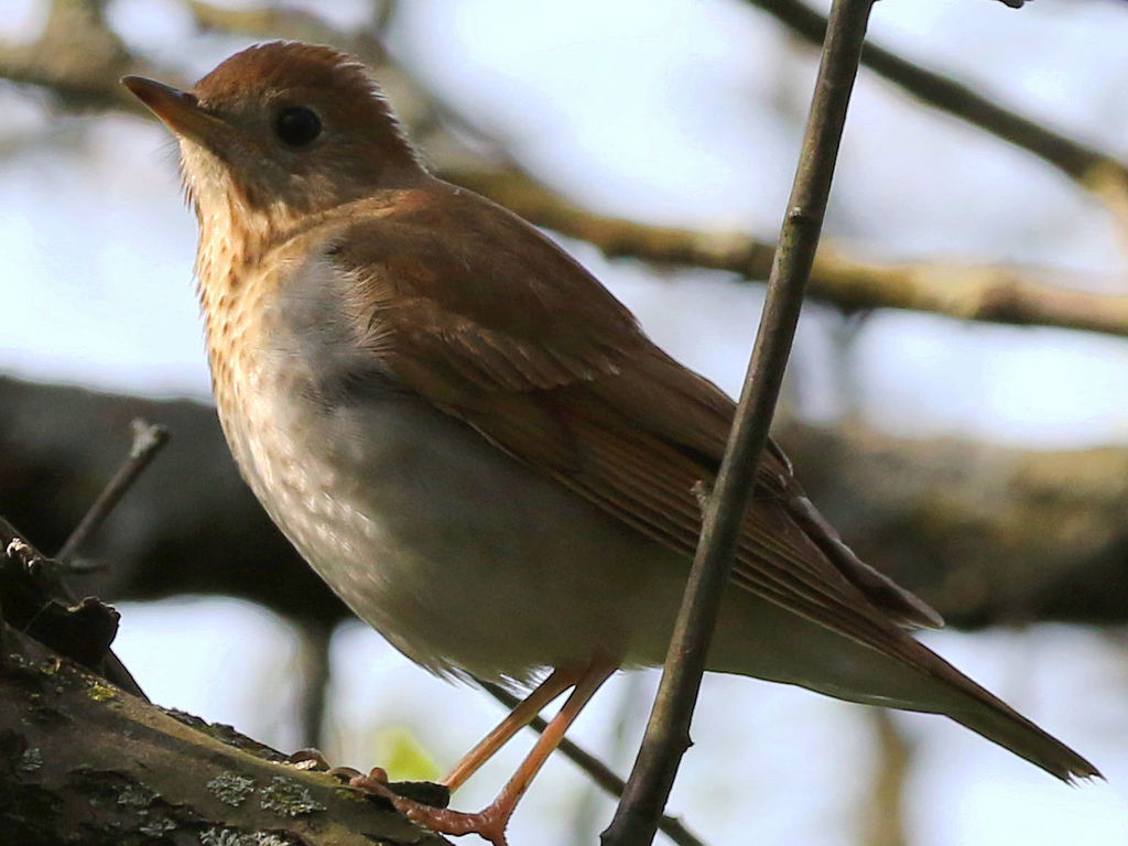
- VeeryCatharus fuscescens
- Western SandpiperCalidris mauri
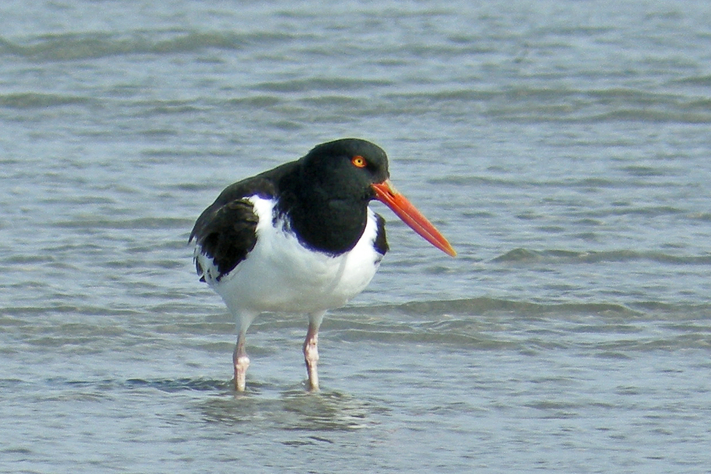
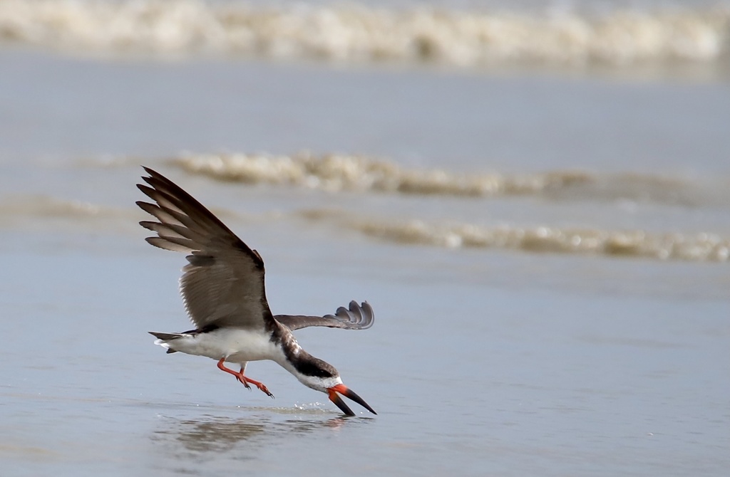
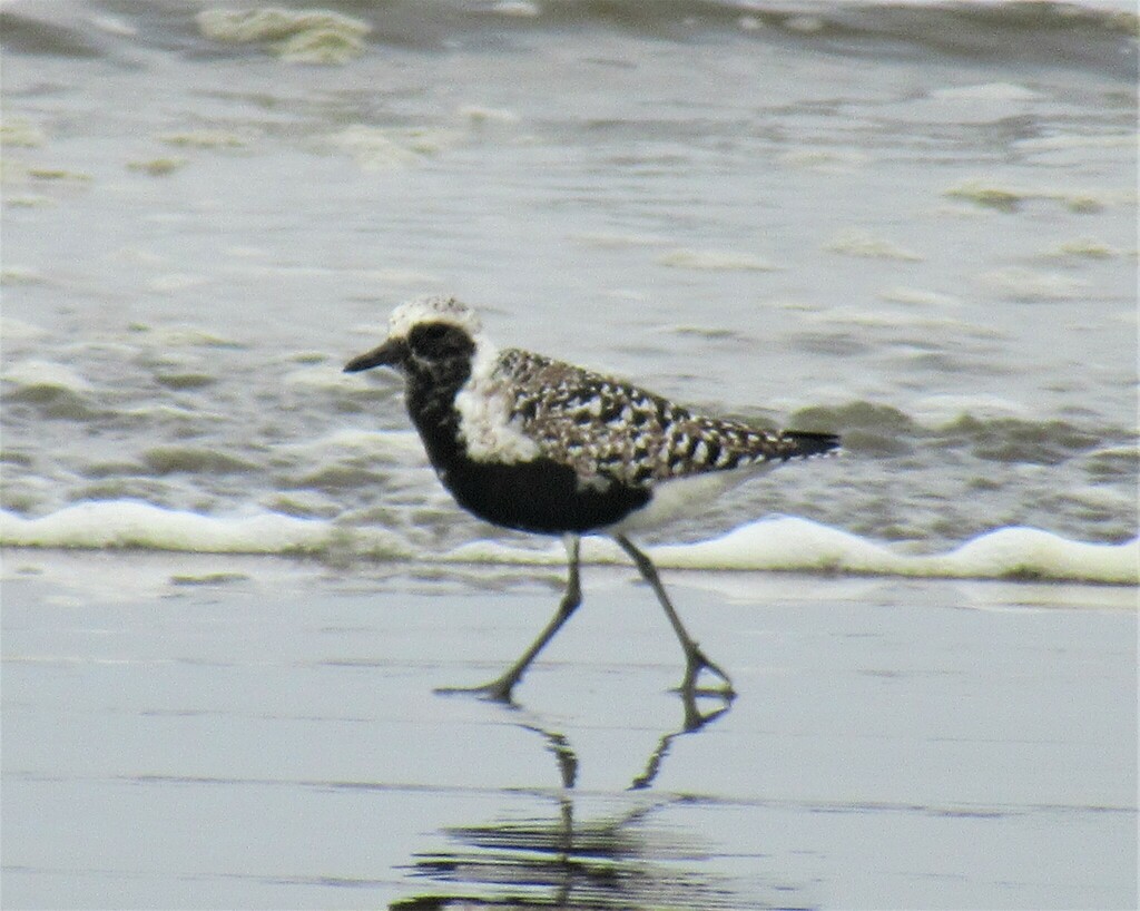
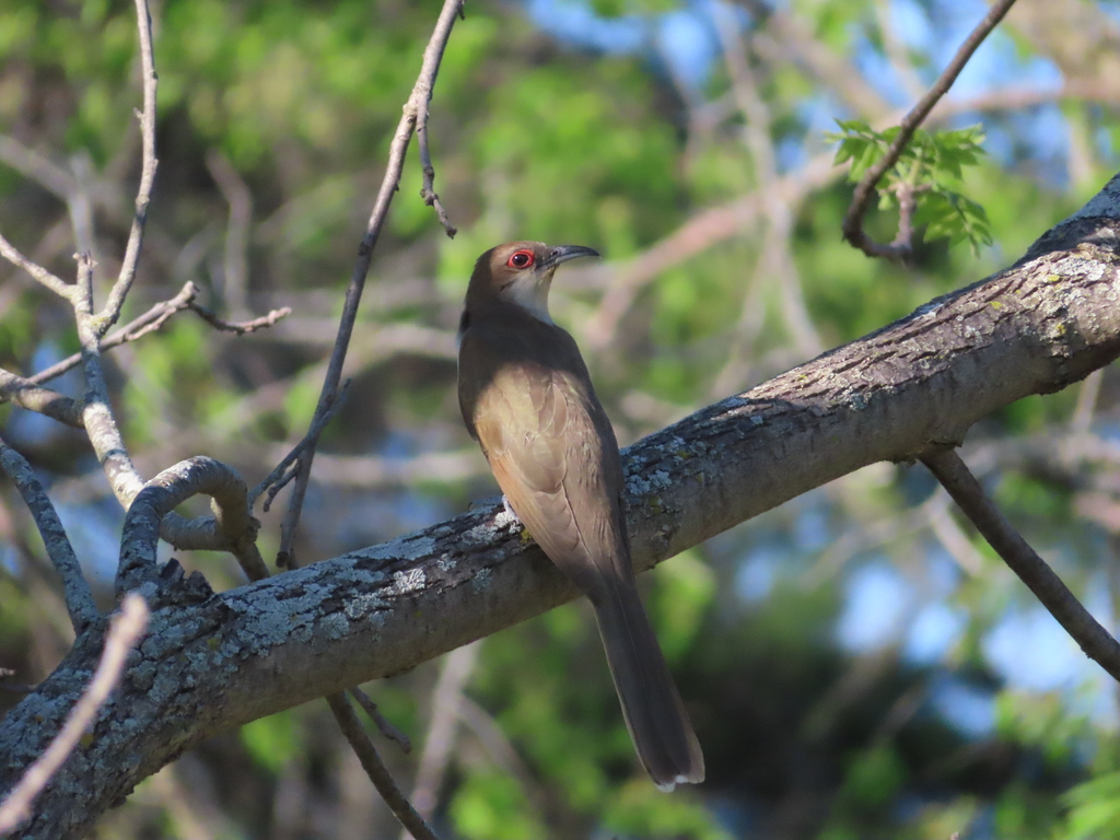
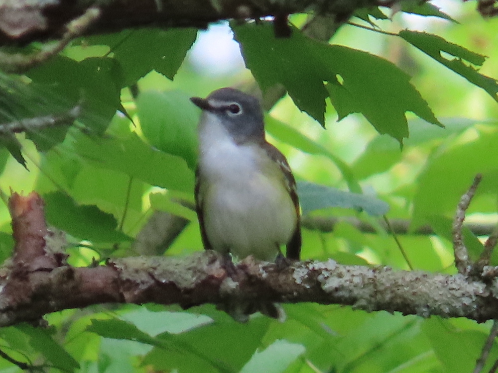
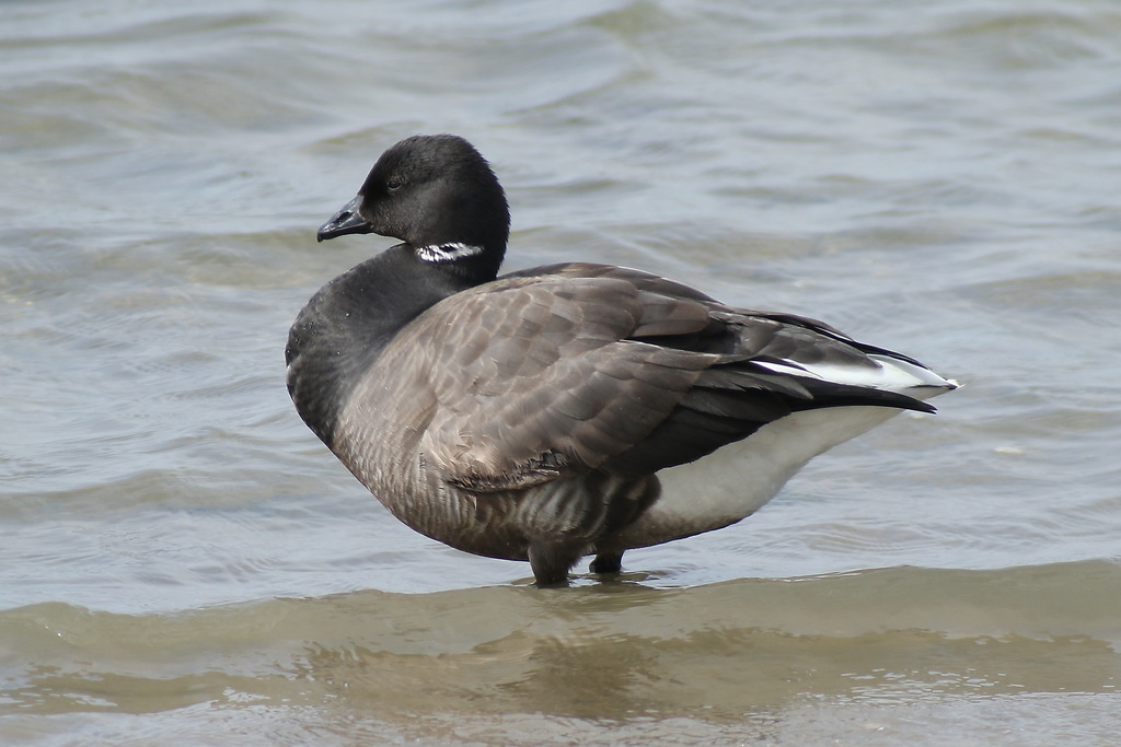
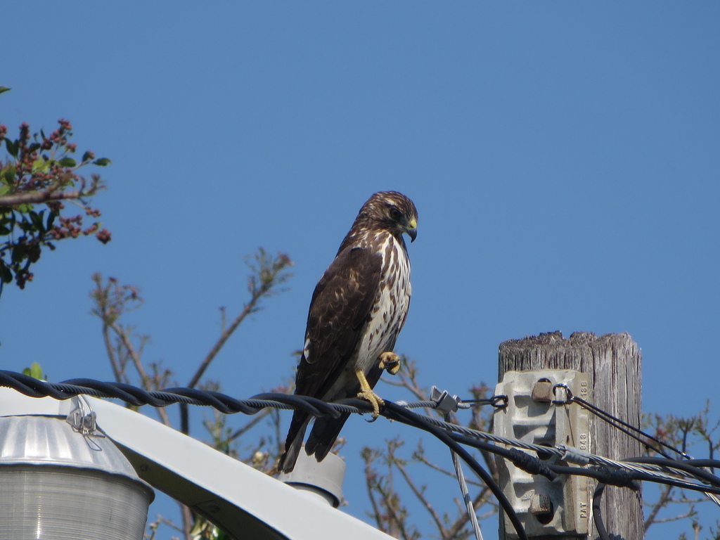
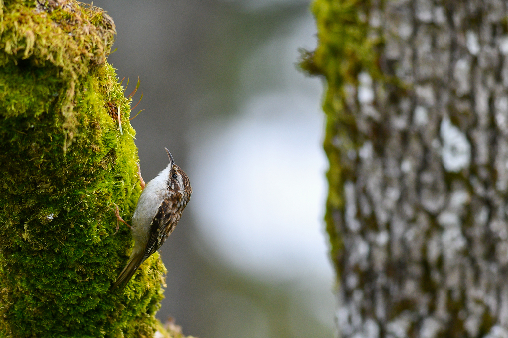
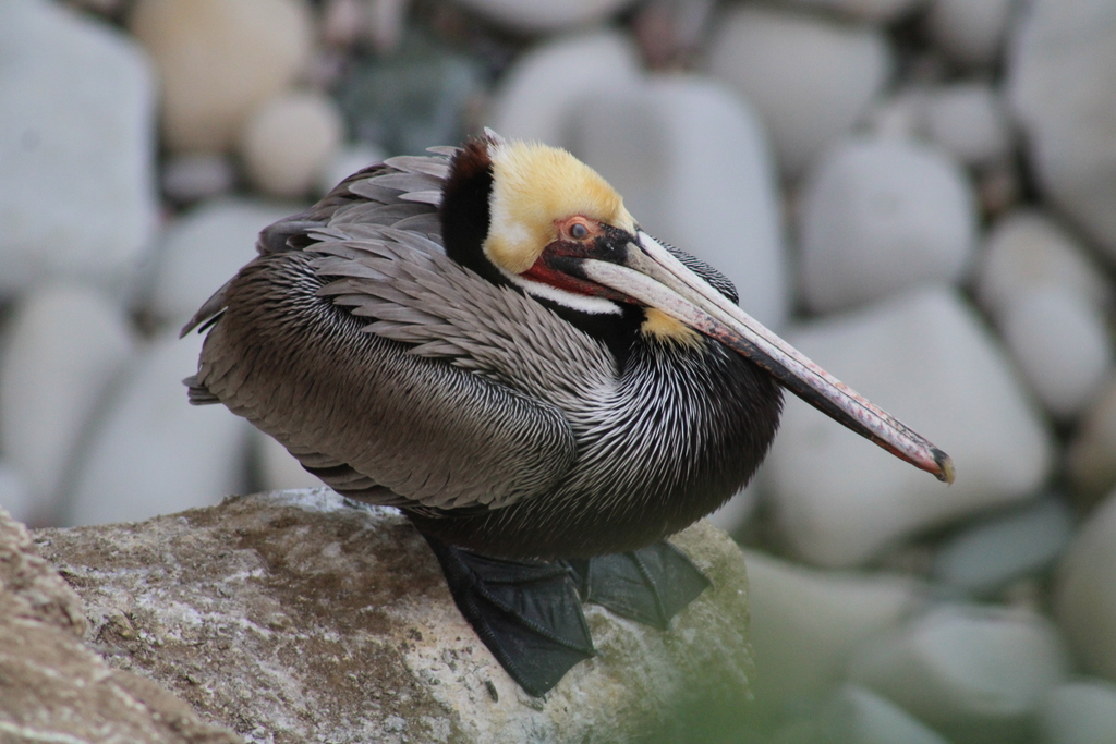
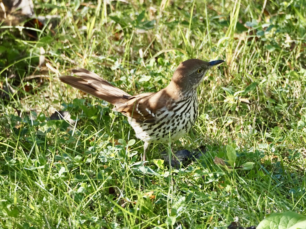
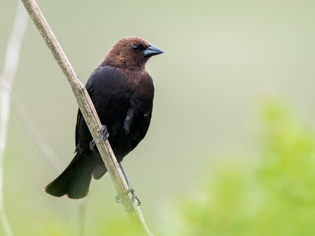


NatureServe Explorer, CC BY 4.0. USGS Gap Analysis Project habitat models.
Sources
- USGS Gap Analysis Project habitat models (2001)
- USGS GAP winter habitat model for Canada Goose
- USGS Gap Analysis Project range maps (2001), modeled by watershed; migratory gives no dates
- NatureServe Explorer (CC BY 4.0), habitat names
- US Census TIGER/Line counties
- Names follow the USGS Gap Analysis Project (2001)