

Bird
Willow Flycatcher
Empidonax traillii
Passes through Mississippi on migration. Found in all 82 counties, across 3 habitats.
- Here
- On migration
- Nesting
- Not known to nest here
- Range
- All 82 counties
- Habitats
- 3
Photograph not available yet.
At a glance
- Group
- Birds
- Here
- On migration
- Nesting
- Not known to nest here
- Range
- All 82 counties
- Habitats
- 3
- Habitat models
- Summer
Where it lives
The places its habitat model includes. It is not found everywhere a habitat occurs.
Habitats in Mississippi 3
Each habitat page lists the plants and wildlife also found there.
Disturbed and introduced wetlands
Wet ground taken over by weedy or introduced plants after disturbance, such as common reed, Chinese tallow or tamarisk stands; the upland counterpart is roadsides, fields and disturbed ground.
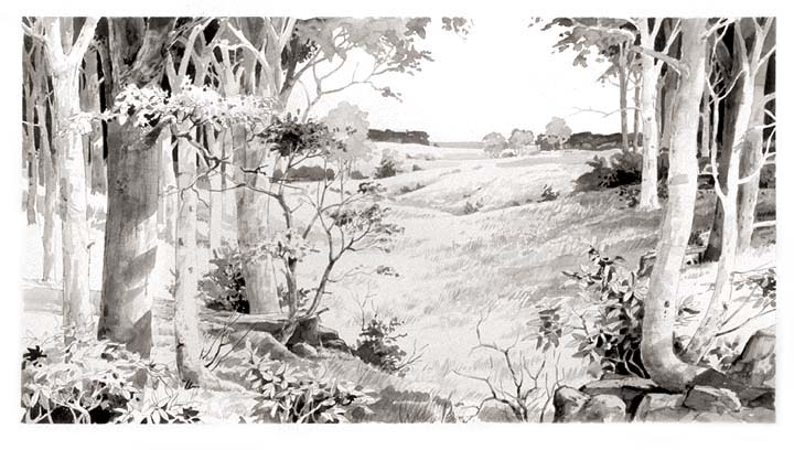
Floodplain and bottomland forests
Forests on low ground beside rivers and streams that flood from time to time.
Other habitats in its models (11)
Land cover, or classes with no habitat page in Mississippi.
- Western Great Plains Wooded Draw and Ravine Summer, only within 120 m of water.
- Central Interior and Appalachian Shrub-Herbaceous Wetland Systems Summer.
- Southern and Central Appalachian Bog and Fen Summer.
- Central Appalachian Riparian - Forest Modifier Summer.
- Western Great Plains Floodplain Systems Summer.
- Eastern Great Plains Floodplain Systems Summer.
- Central Interior and Appalachian Floodplain Systems Summer.
- Central Interior and Appalachian Riparian Systems Summer.
- Cumberland Riverscour Summer.
- South-Central Interior Small Stream and Riparian Summer.
- South-Central Interior Large Floodplain Summer.
Seasons in Mississippi
- Migratory: does not nest here, in all 82 counties.
Also found in this habitat
Plants 75
Plants named in NatureServe descriptions of these habitats that grow in Mississippi. Shared habitat, not food.
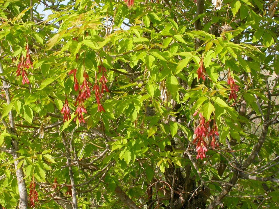
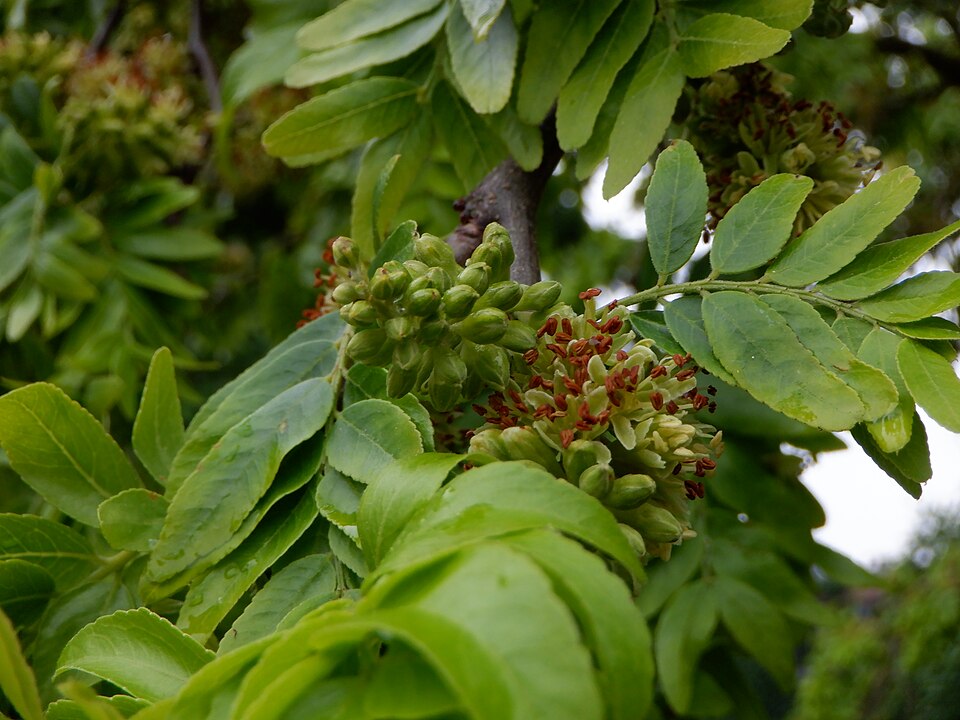
- Box-elderAcer negundo
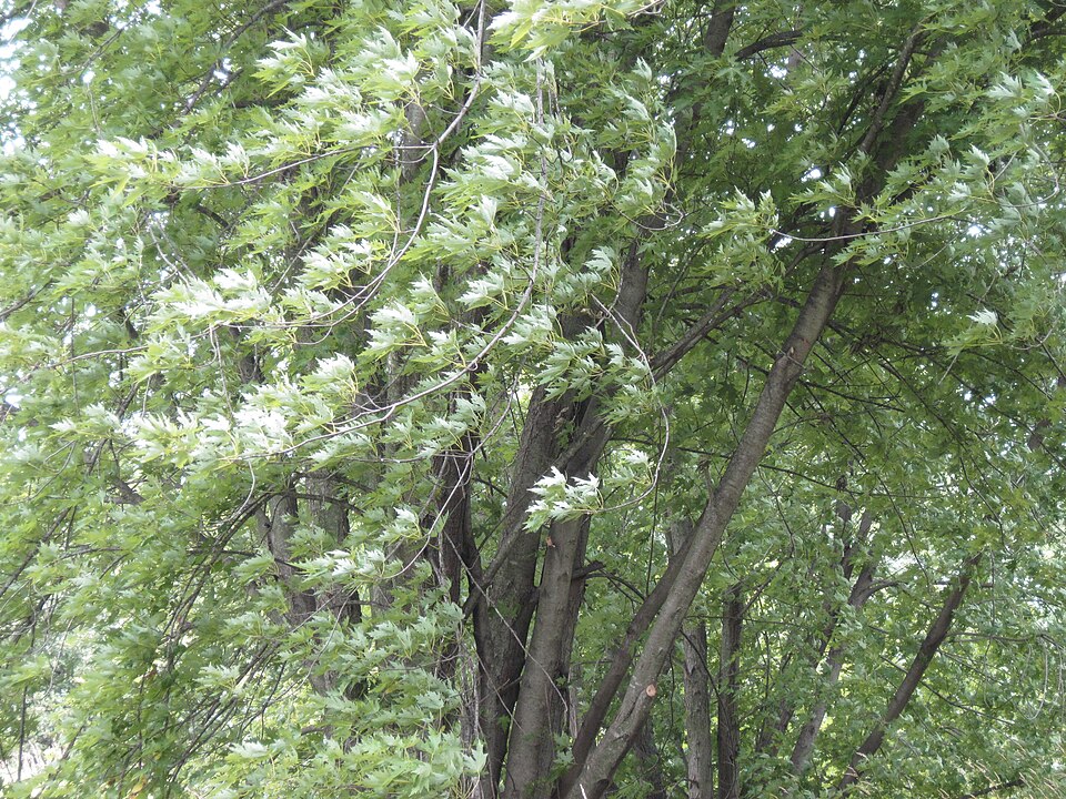
- Silver MapleAcer saccharinum
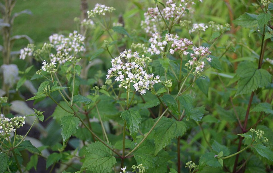
- White SnakerootAgeratina altissima
- American GroundnutApios americana
- Green DragonArisaema dracontium
- Giant CaneArundinaria gigantea
- Bearded BeggarticksBidens aristosa
- False NettleBoehmeria cylindrica
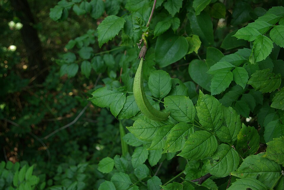
- Buckwheat VineBrunnichia ovata
- Trumpet-creeperCampsis radicans
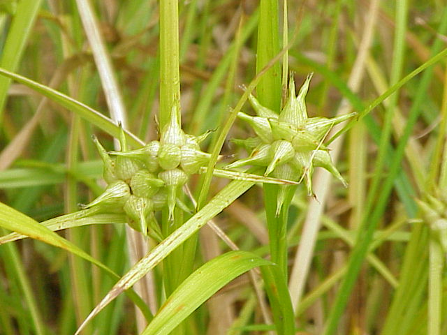
- Gray's SedgeCarex grayi
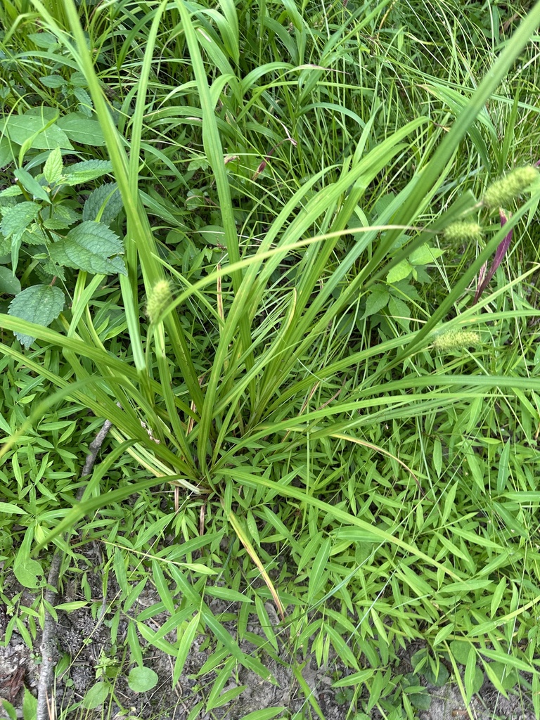
- Cattail SedgeCarex typhina
- Water HickoryCarya aquatica
- PecanCarya illinoinensis
- SugarberryCeltis laevigata
- River OatsChasmanthium latifolium
- Coastal Sweet-pepperbushClethra alnifolia
- Carolina CoralbeadCocculus carolinus
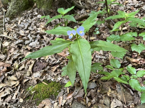
- Virginia DayflowerCommelina virginica
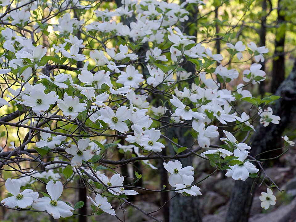
- Flowering DogwoodCornus florida
- Green HawthornCrataegus viridis
- Eastern Swamp PrivetForestiera acuminata
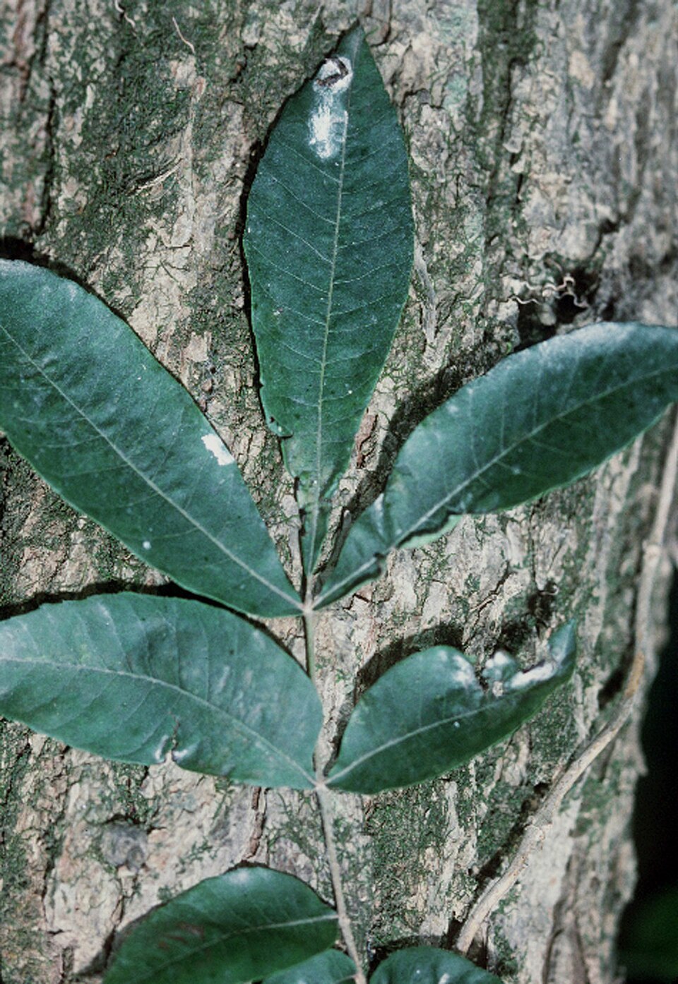
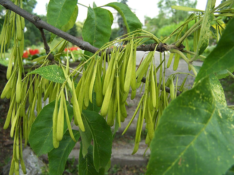
- Green AshFraxinus pennsylvanica
- Honey LocustGleditsia triacanthos
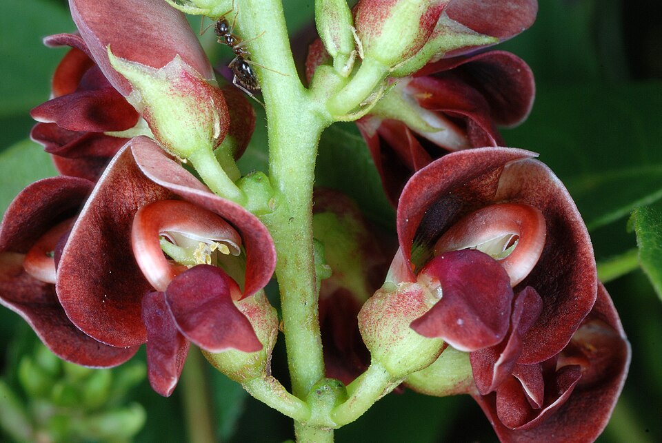
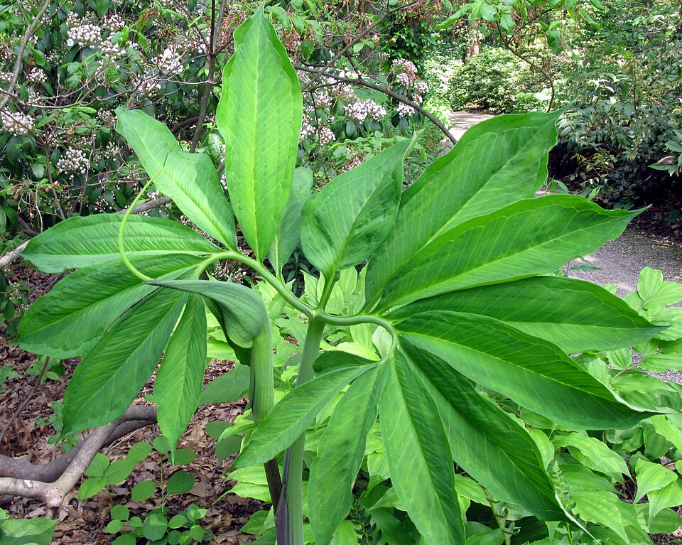
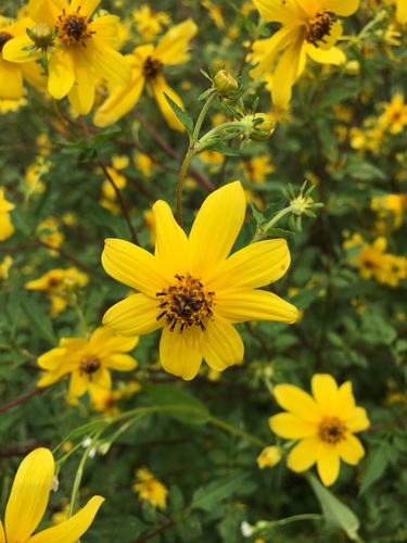
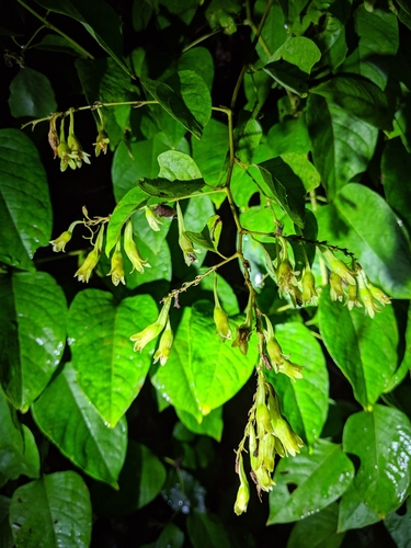
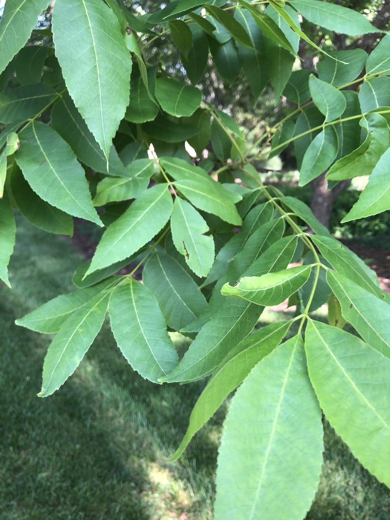
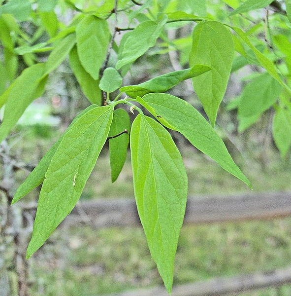
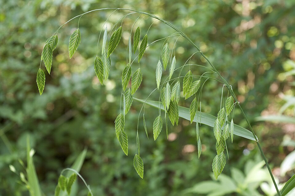
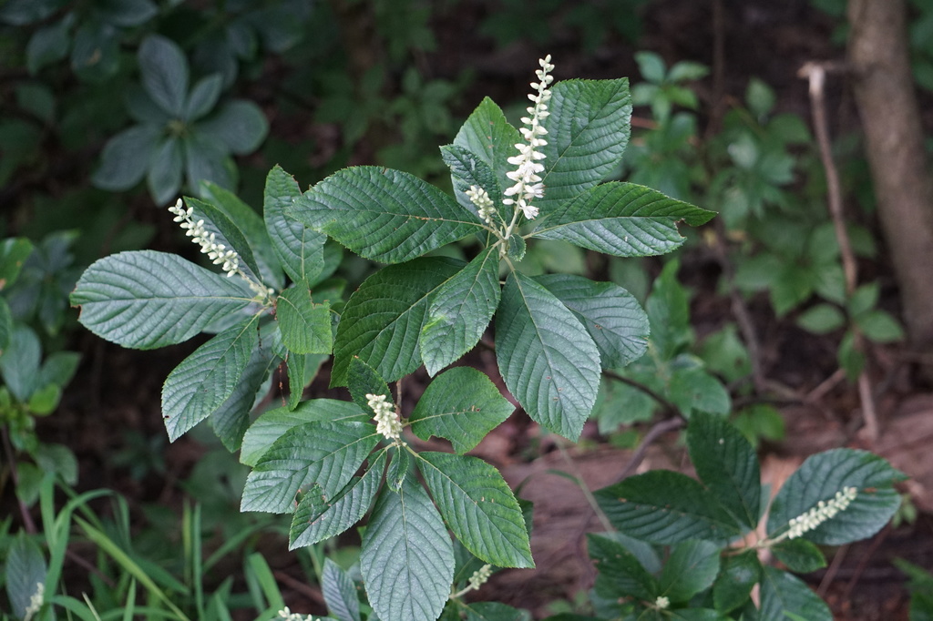
Wildlife 228
Other animals whose habitat models include the same habitats in Mississippi. Not sighting records.
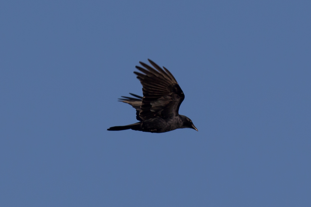
- Fish CrowCorvus ossifragus
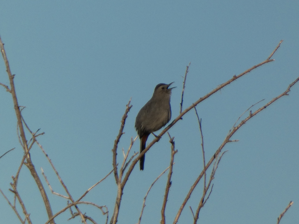
- Gray CatbirdDumetella carolinensis
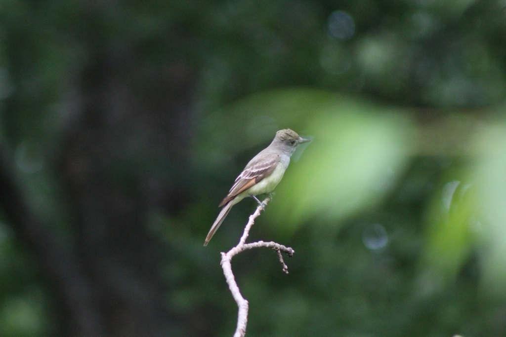
- Great Crested FlycatcherMyiarchus crinitus
- Great Horned OwlBubo virginianus
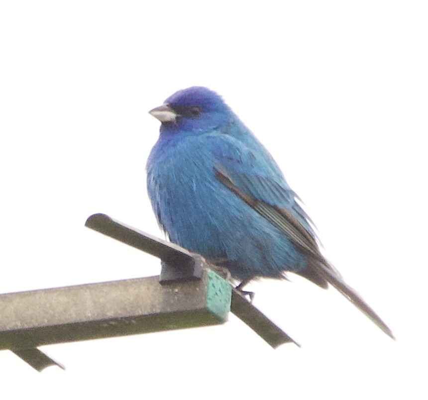
- Indigo BuntingPasserina cyanea
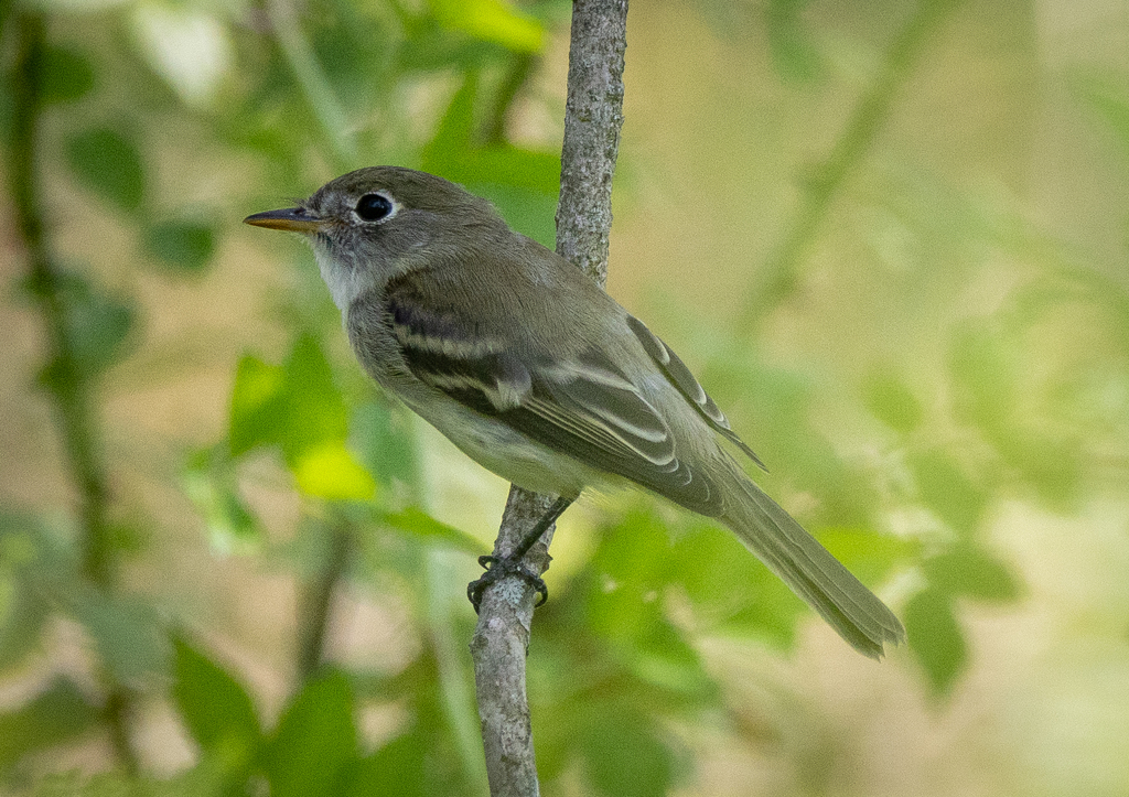
- Least FlycatcherEmpidonax minimus
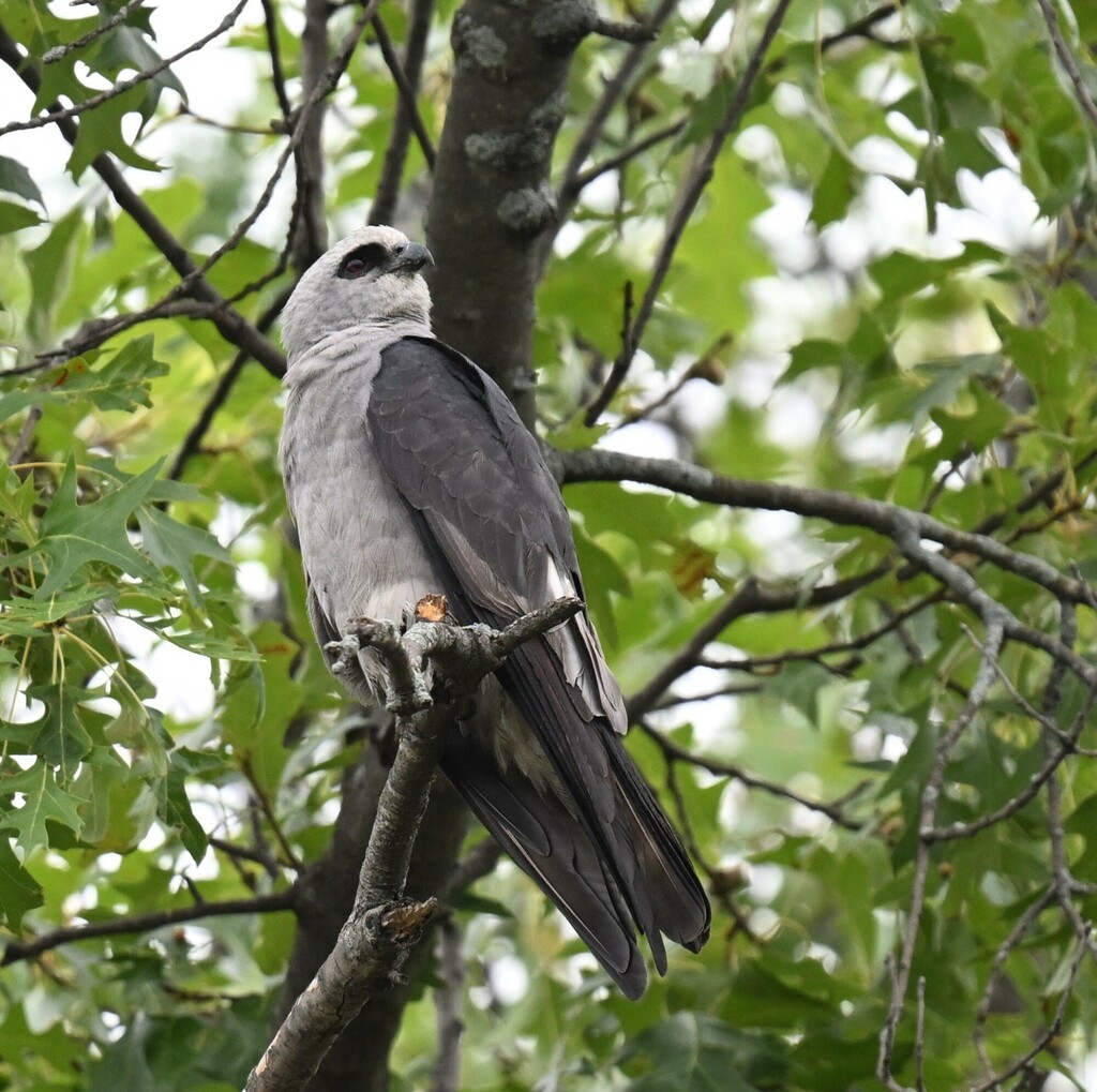
- Mississippi KiteIctinia mississippiensis
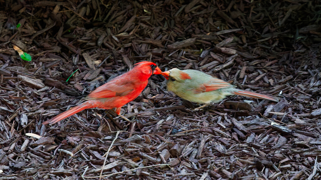
- Northern CardinalCardinalis cardinalis
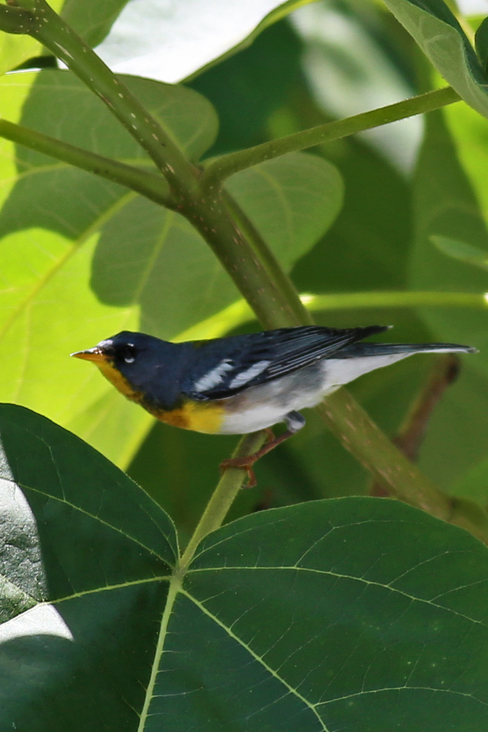
- Northern ParulaParula americana
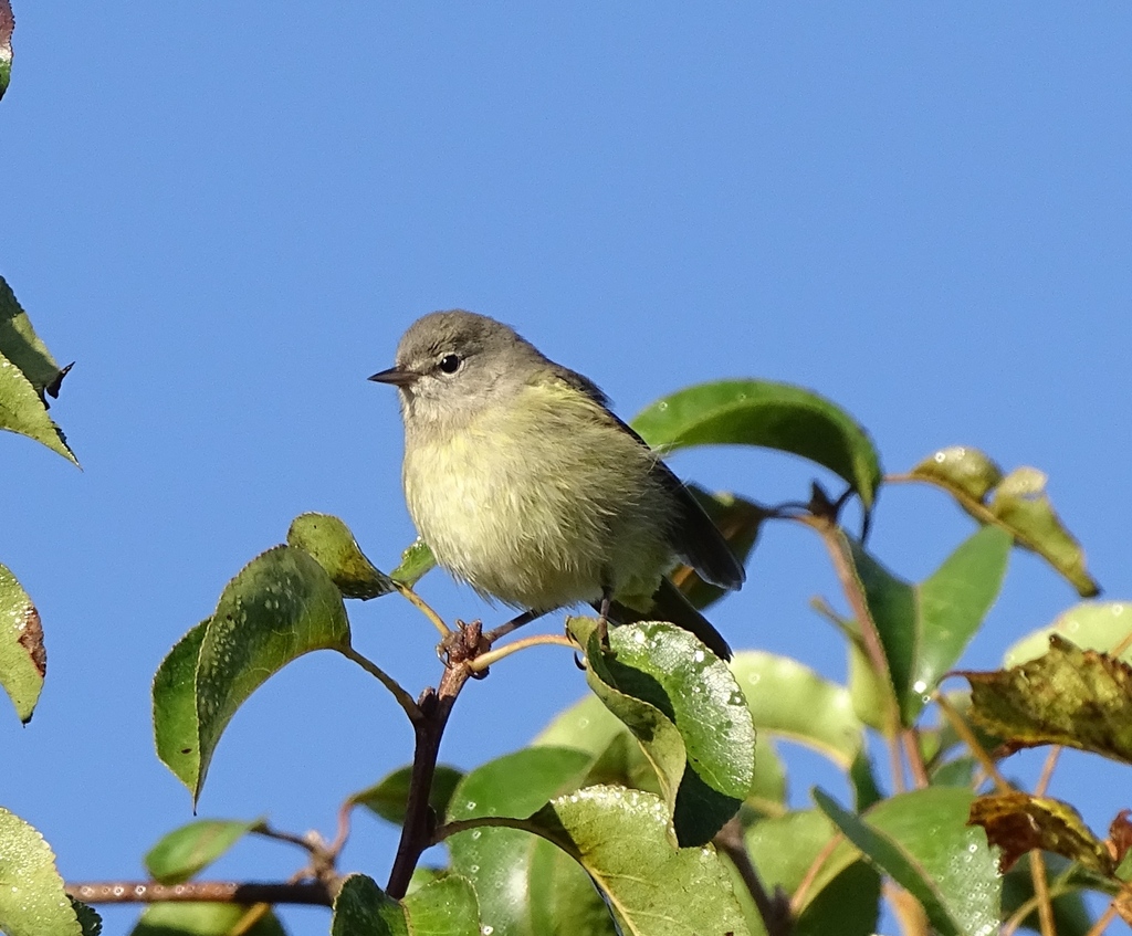
- Orange-crowned WarblerVermivora celata
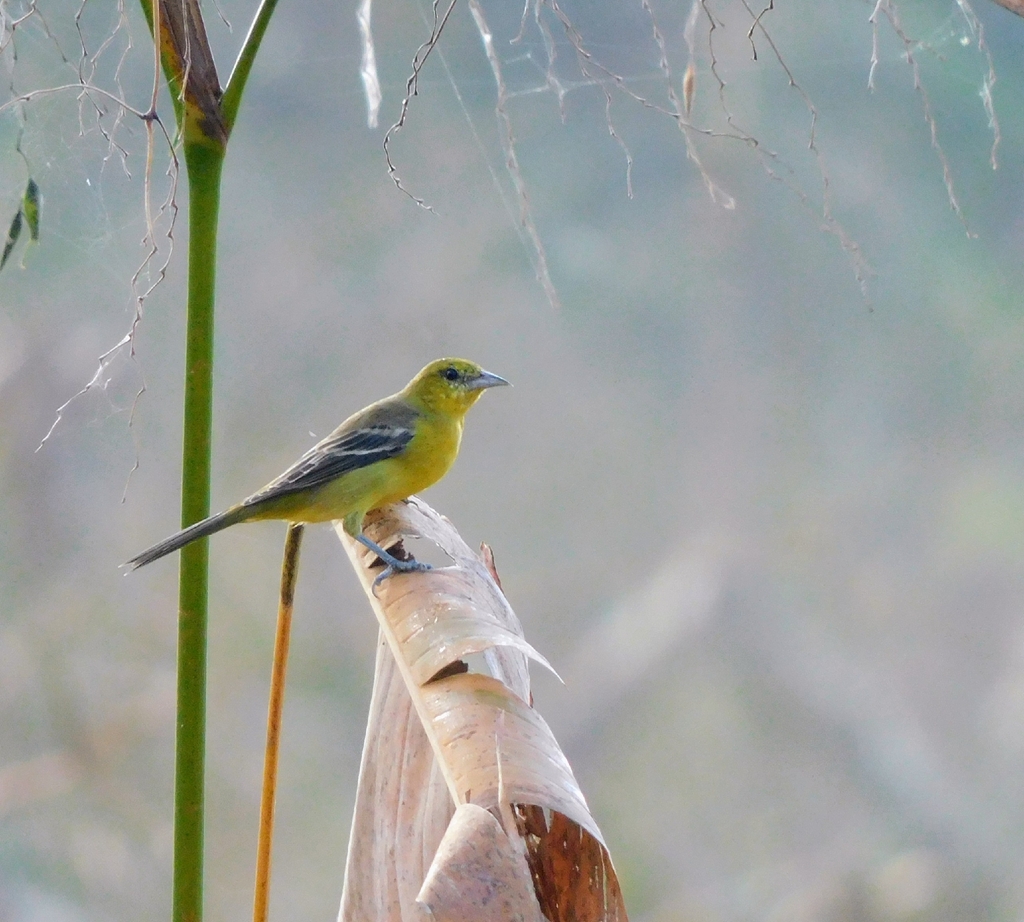
- Orchard OrioleIcterus spurius
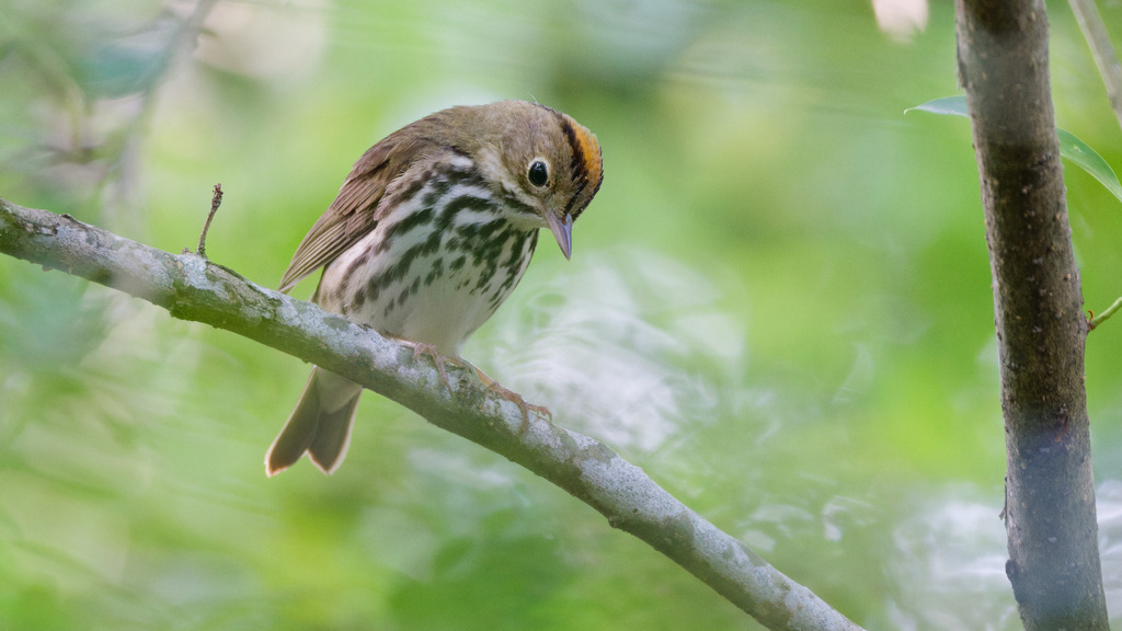
- OvenbirdSeiurus aurocapilla
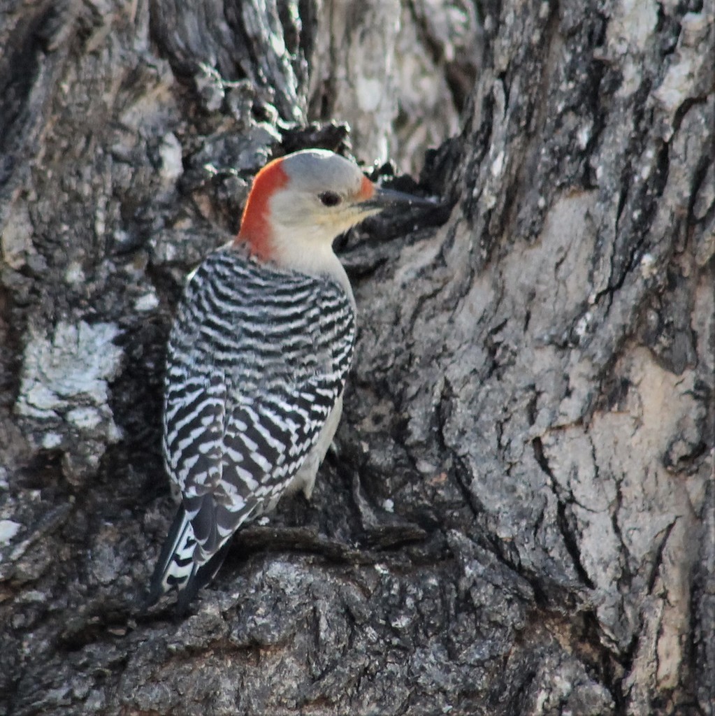
- Red-bellied WoodpeckerMelanerpes carolinus
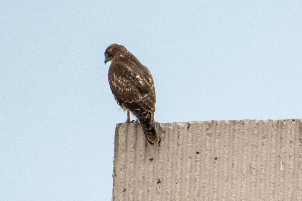
- Red-tailed HawkButeo jamaicensis
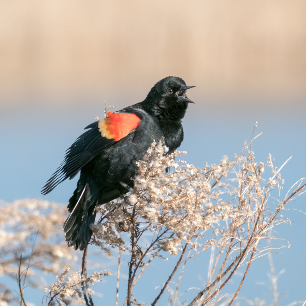
- Red-winged BlackbirdAgelaius phoeniceus
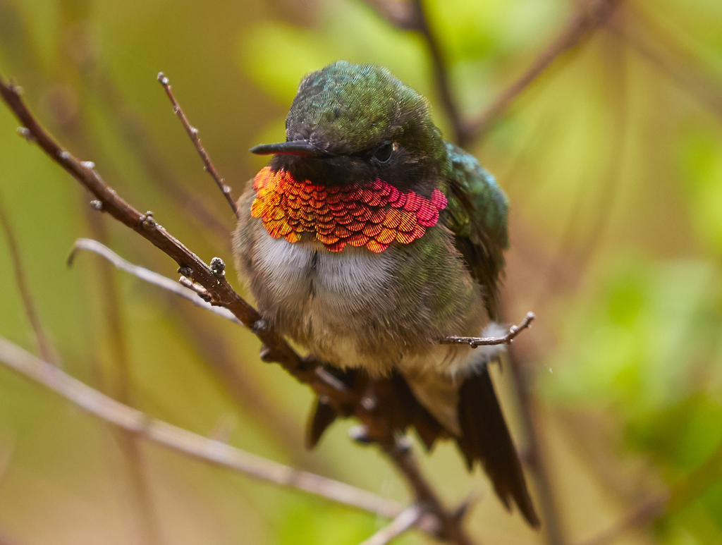
- Ruby-throated HummingbirdArchilochus colubris
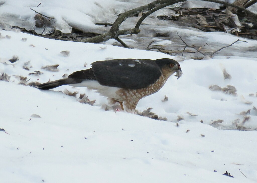
- Sharp-shinned HawkAccipiter striatus
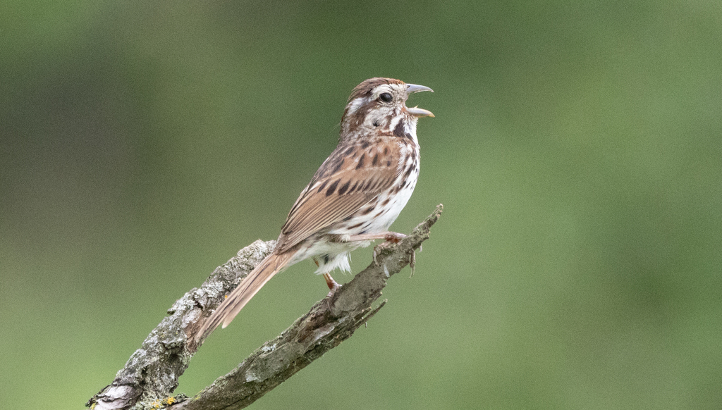
- Song SparrowMelospiza melodia
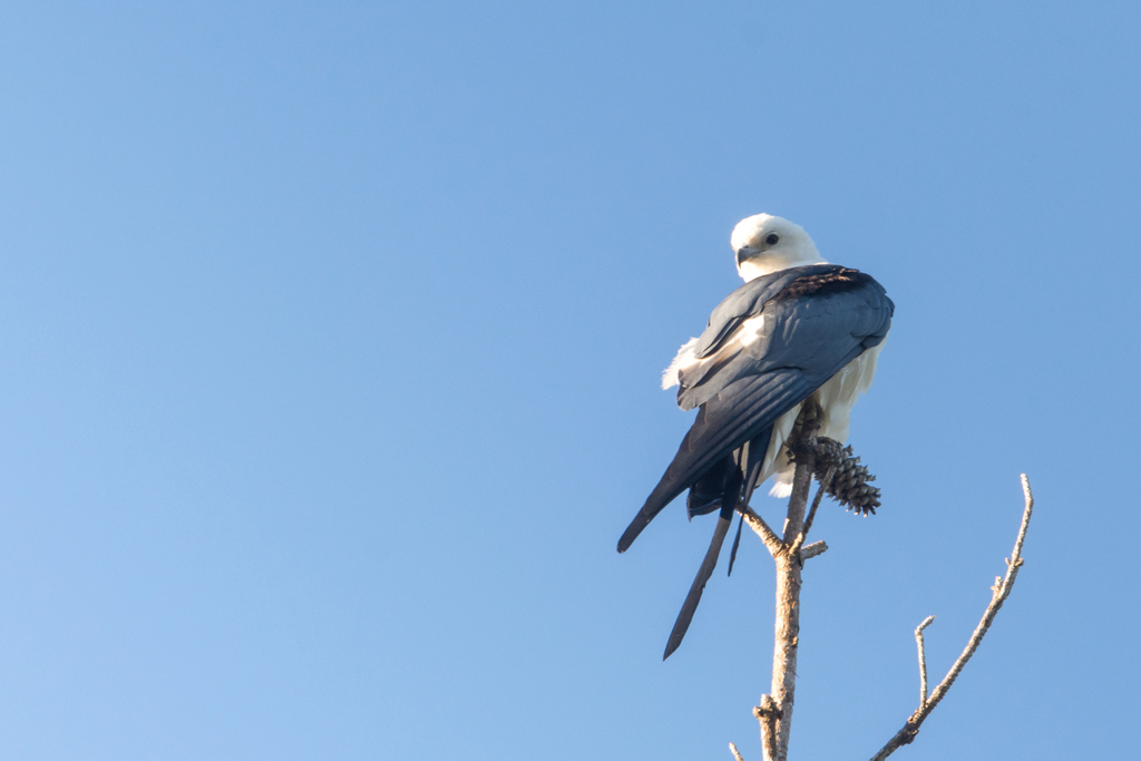
- Swallow-tailed KiteElanoides forficatus
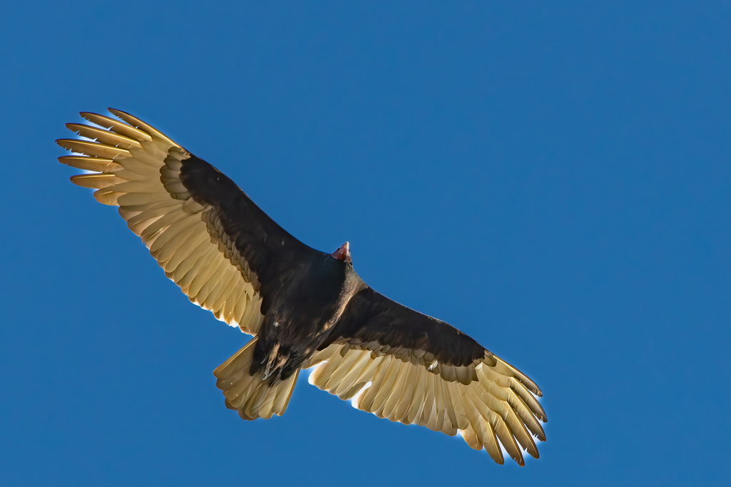
- Turkey VultureCathartes aura
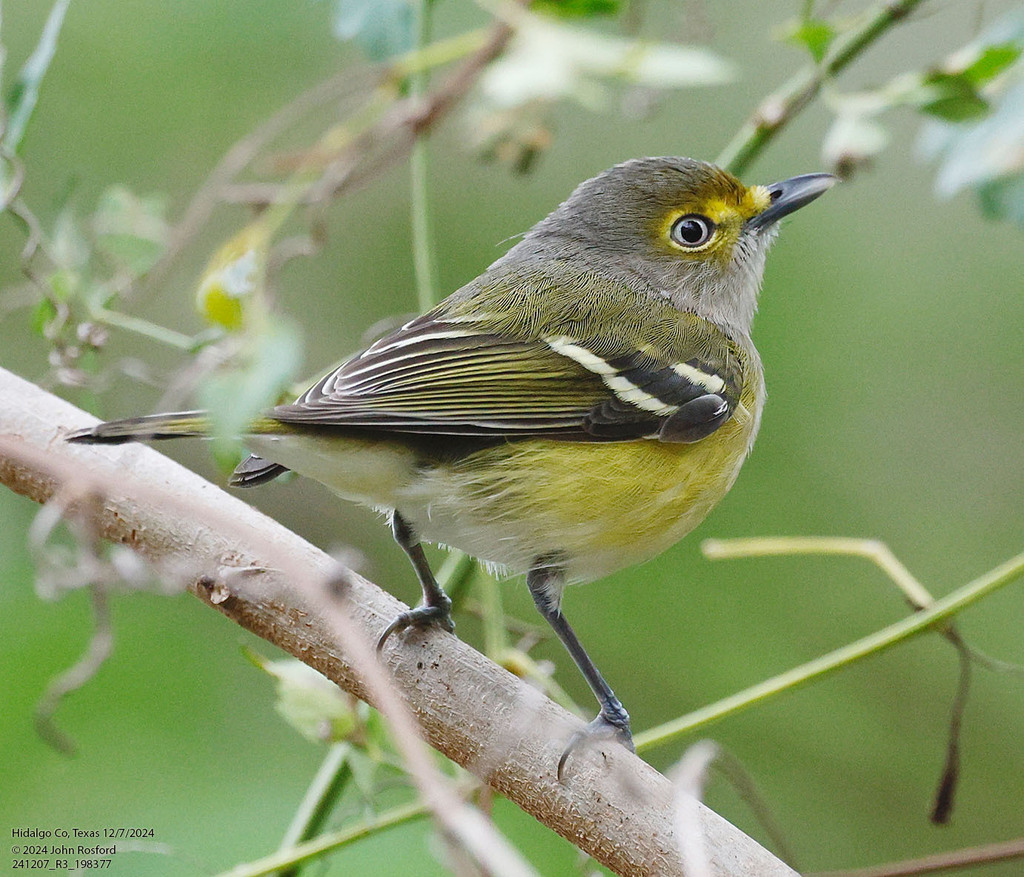
- White-eyed VireoVireo griseus
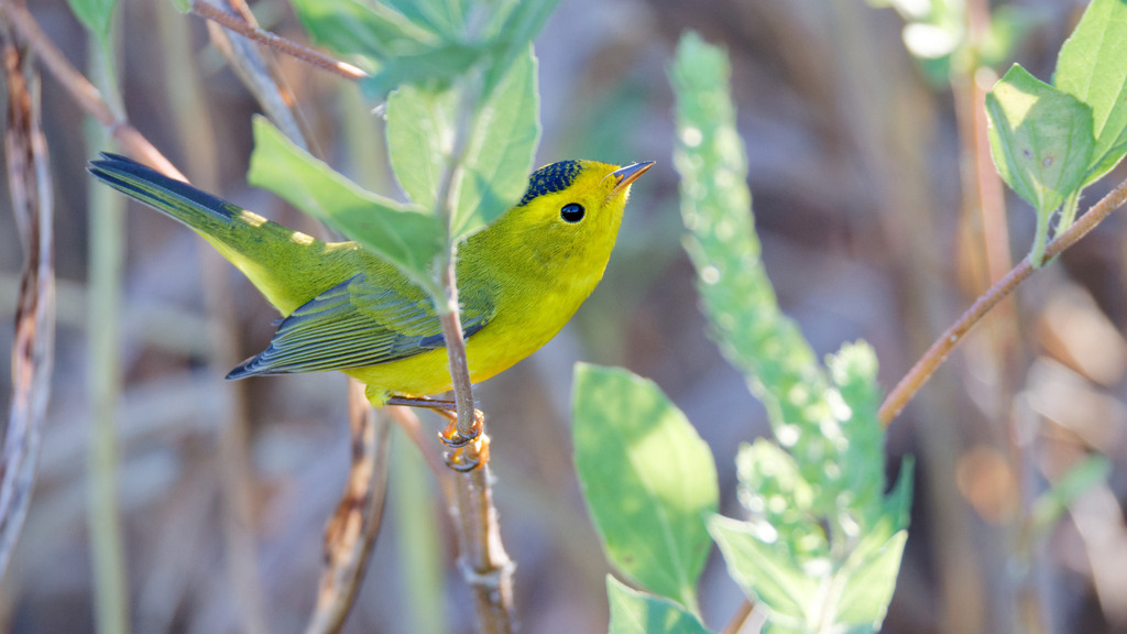
- Wilson's WarblerWilsonia pusilla
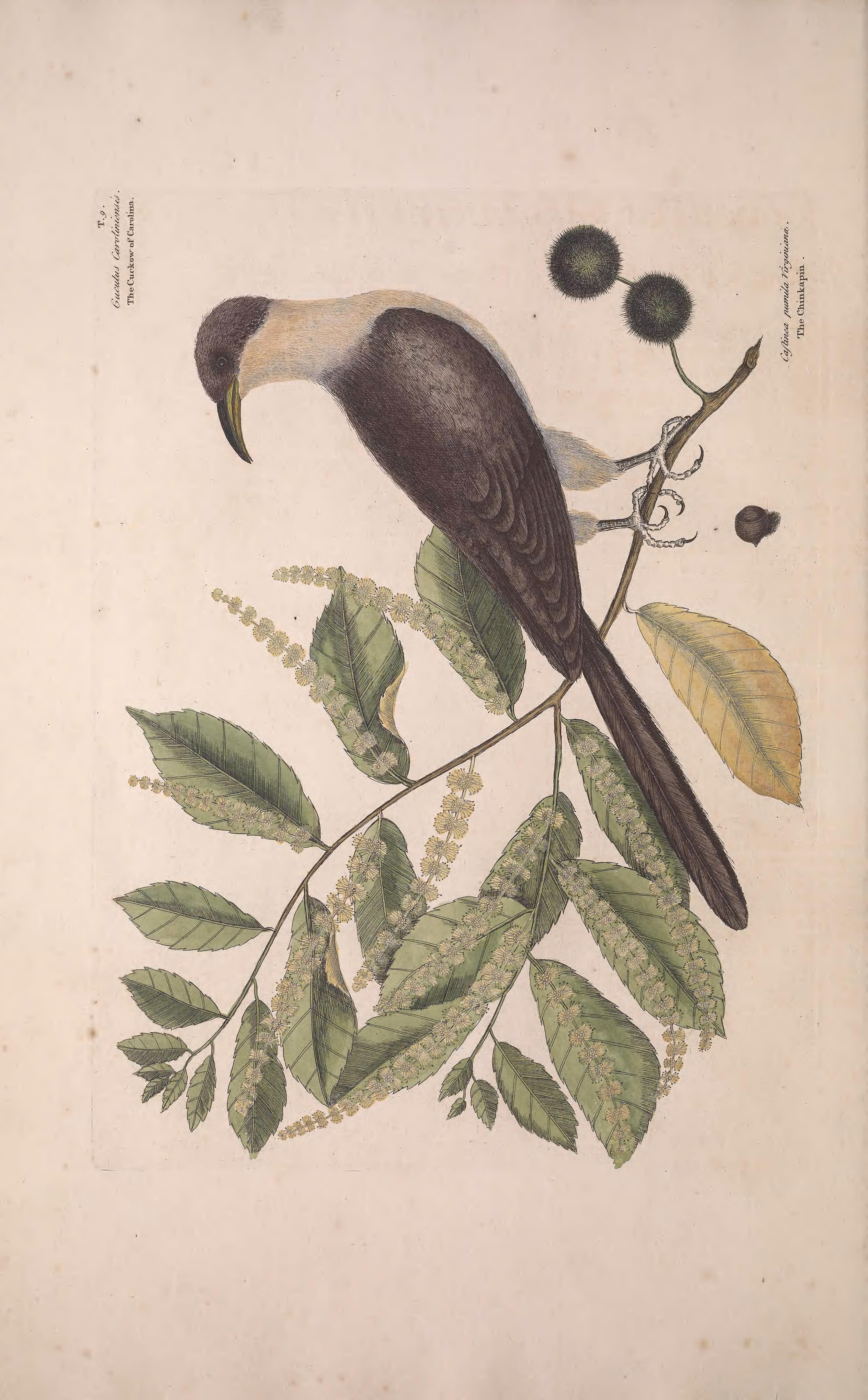
- Yellow-billed CuckooCoccyzus americanus
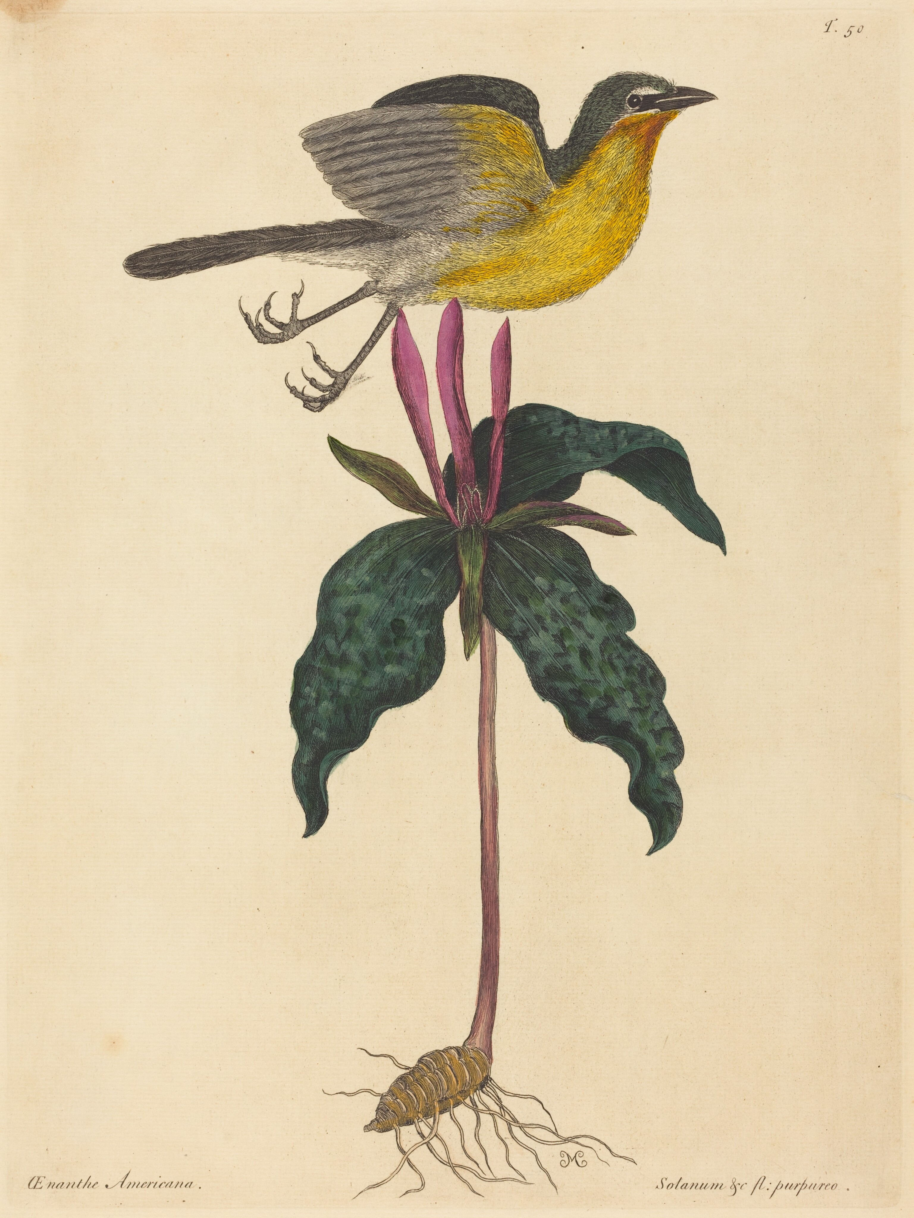
- Yellow-breasted ChatIcteria virens

NatureServe Explorer, CC BY 4.0. USGS Gap Analysis Project habitat models.
Sources
- USGS Gap Analysis Project habitat models (2001)
- USGS GAP summer habitat model for Willow Flycatcher Elevation up to 850 m
- USGS Gap Analysis Project range maps (2001), modeled by watershed; migratory gives no dates
- NatureServe Explorer (CC BY 4.0), habitat names
- US Census TIGER/Line counties
- Names follow the USGS Gap Analysis Project (2001)