

Bird
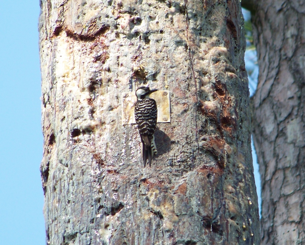
Red-cockaded Woodpecker
Picoides borealis
Lives in Mississippi all year and nests here. Found in 46 of 82 counties, across 1 habitat. It once lived in 2 more counties.
- Here
- All year
- Nesting
- Nests here
- Range
- 46 of 82 counties
- Habitats
- 1
At a glance
- Group
- Birds
- Here
- All year
- Nesting
- Nests here
- Range
- 46 of 82 counties
- Habitats
- 1
- Habitat models
- Year-round
Where it lives
The places its habitat model includes. It is not found everywhere a habitat occurs.
Habitats in Mississippi 1
Each habitat page lists the plants and wildlife also found there.
Flat, sandy Coastal Plain pine woodlands, wetter than sandhills and denser than savannas.
Other habitats in its models (22)
Land cover, or classes with no habitat page in Mississippi.
- Northeastern Interior Dry Oak Forest - Virginia/Pitch Pine Modifier Year-round.
- Southern Piedmont Dry Oak-(Pine) Forest - Loblolly Pine Modifier Year-round.
- East Gulf Coastal Plain Northern Dry Upland Hardwood Forest - Offsite Pine Modifier Year-round.
- West Gulf Coastal Plain Upland Longleaf Pine Forest and Woodland Year-round.
- Southeastern Interior Longleaf Pine Woodland Year-round.
- Ozark-Ouachita Shortleaf Pine-Oak Forest and Woodland Year-round.
- West Gulf Coastal Plain Pine-Hardwood Forest Year-round.
- West Gulf Coastal Plain Sandhill Oak and Shortleaf Pine Forest and Woodland Year-round.
- Florida Longleaf Pine Sandhill - Open Understory Modifier Year-round.
- Florida Longleaf Pine Sandhill - Scrub/Shrub Understory Modifier Year-round.
- Atlantic Coastal Plain Fall-Line Sandhills Longleaf Pine Woodland - Loblolly Modifier Year-round.
- Atlantic Coastal Plain Fall-line Sandhills Longleaf Pine Woodland - Open Understory Modifier Year-round.
- Atlantic Coastal Plain Fall-line Sandhills Longleaf Pine Woodland - Scrub/Shrub Understory Modifier Year-round.
- East Gulf Coastal Plain Interior Upland Longleaf Pine Woodland - Loblolly Modifier Year-round.
- East Gulf Coastal Plain Interior Upland Longleaf Pine Woodland - Open Understory Modifier Year-round.
- East Gulf Coastal Plain Interior Upland Longleaf Pine Woodland - Scrub/Shrub Modifier Year-round.
- Atlantic Coastal Plain Upland Longleaf Pine Woodland Year-round.
- Central Atlantic Coastal Plain Wet Longleaf Pine Savanna and Flatwoods Year-round.
- Atlantic Coastal Plain Southern Wet Pine Savanna and Flatwoods Year-round.
- West Gulf Coastal Plain Wet Longleaf Pine Savanna and Flatwoods Year-round.
- Central Florida Pine Flatwoods Year-round.
- West Gulf Coastal Plain Pine-Hardwood Flatwoods Year-round.
Seasons in Mississippi
- Year-round: nests here, in 46 of 82 counties.
Possible or historical range
- Historical: year-round, in 9 counties.
Also found in this habitat
Wildlife 93
Other animals whose habitat models include the same habitats in Mississippi. Not sighting records.
- American CrowCorvus brachyrhynchos
- American GoldfinchCarduelis tristis
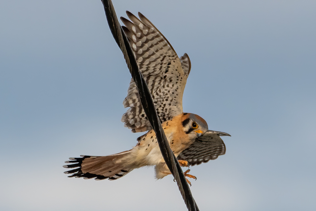
- American KestrelFalco sparverius
- American RobinTurdus migratorius
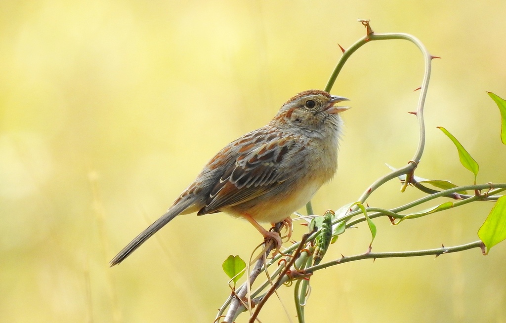
- Bachman's SparrowAimophila aestivalis
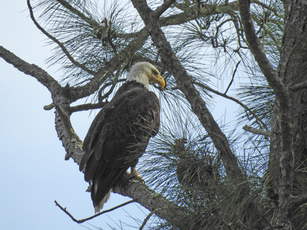
- Bald EagleHaliaeetus leucocephalus
- Bank SwallowRiparia riparia
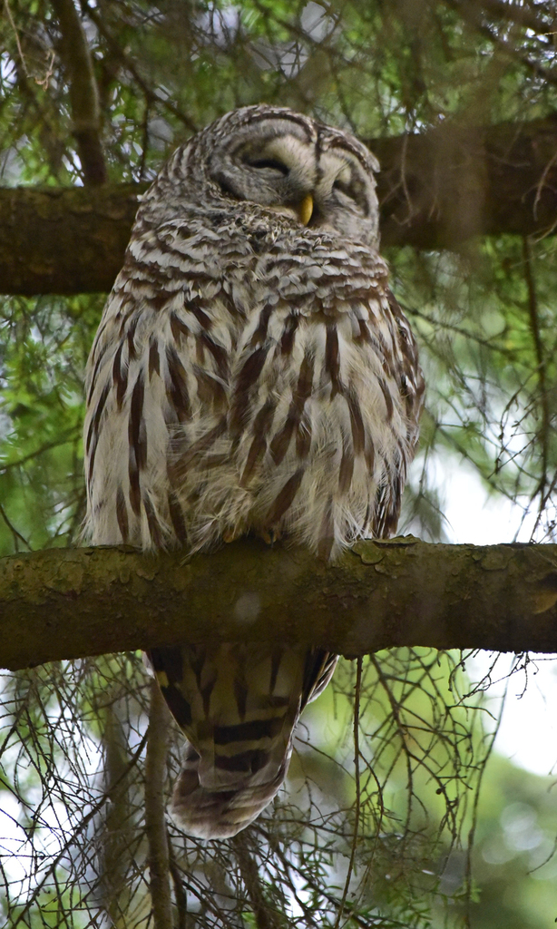
- Barred OwlStrix varia
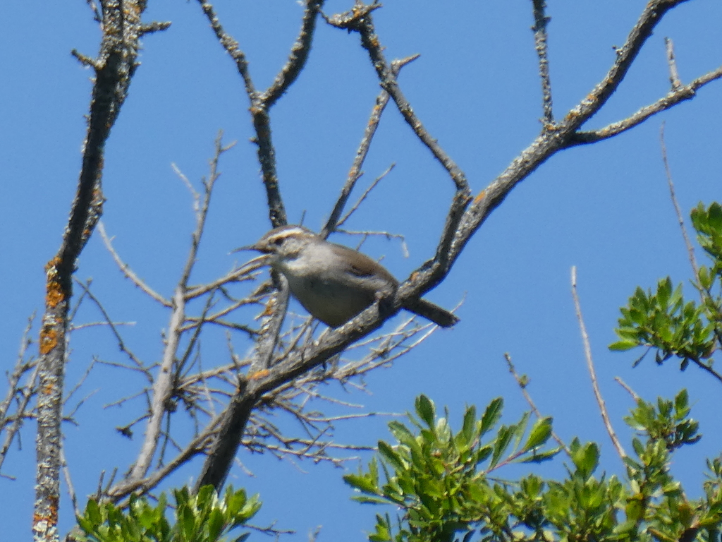
- Bewick's WrenThryomanes bewickii
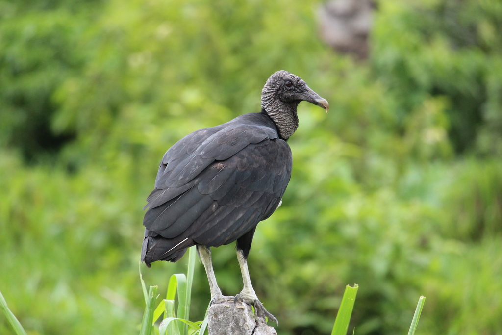
- Black VultureCoragyps atratus
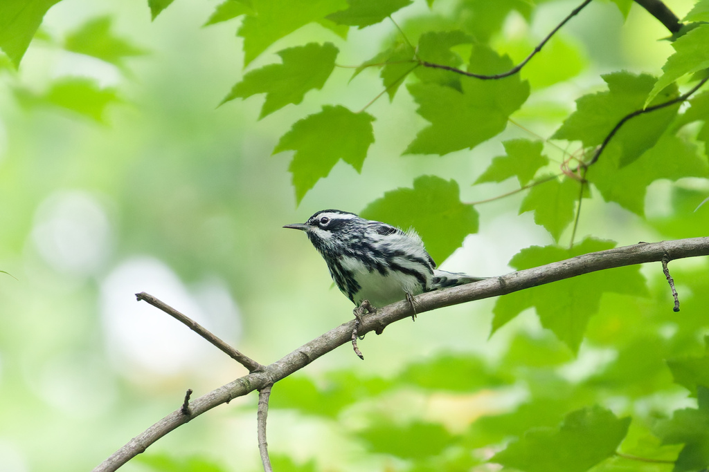
- Black-and-White WarblerMniotilta varia
- Black-bellied Whistling-DuckDendrocygna autumnalis
- Black-crowned Night-heronNycticorax nycticorax
- Blue GrosbeakPasserina caerulea
- Blue JayCyanocitta cristata
- Blue-gray GnatcatcherPolioptila caerulea
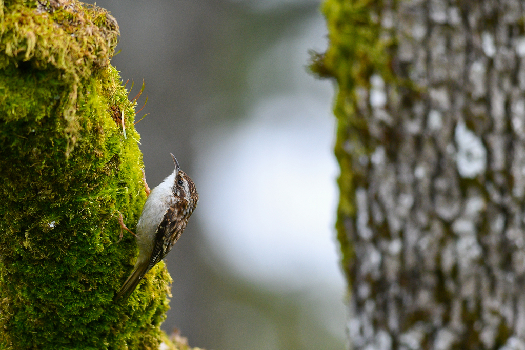
- Brown CreeperCerthia americana
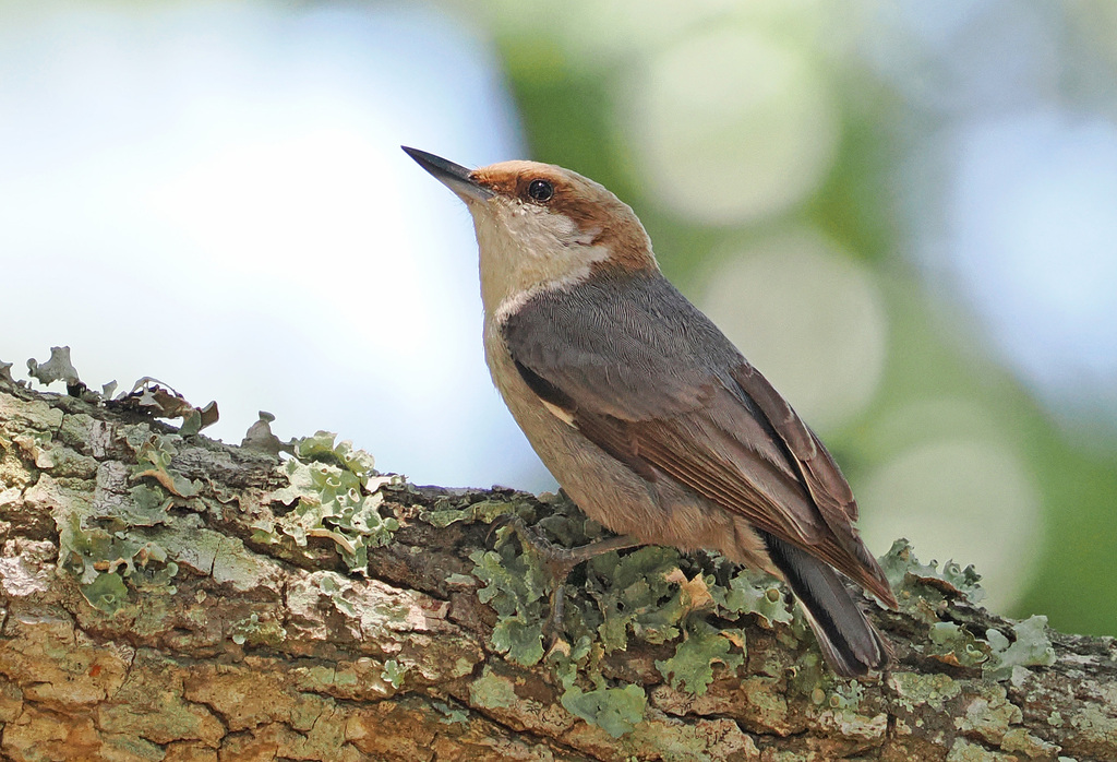
- Brown-headed NuthatchSitta pusilla
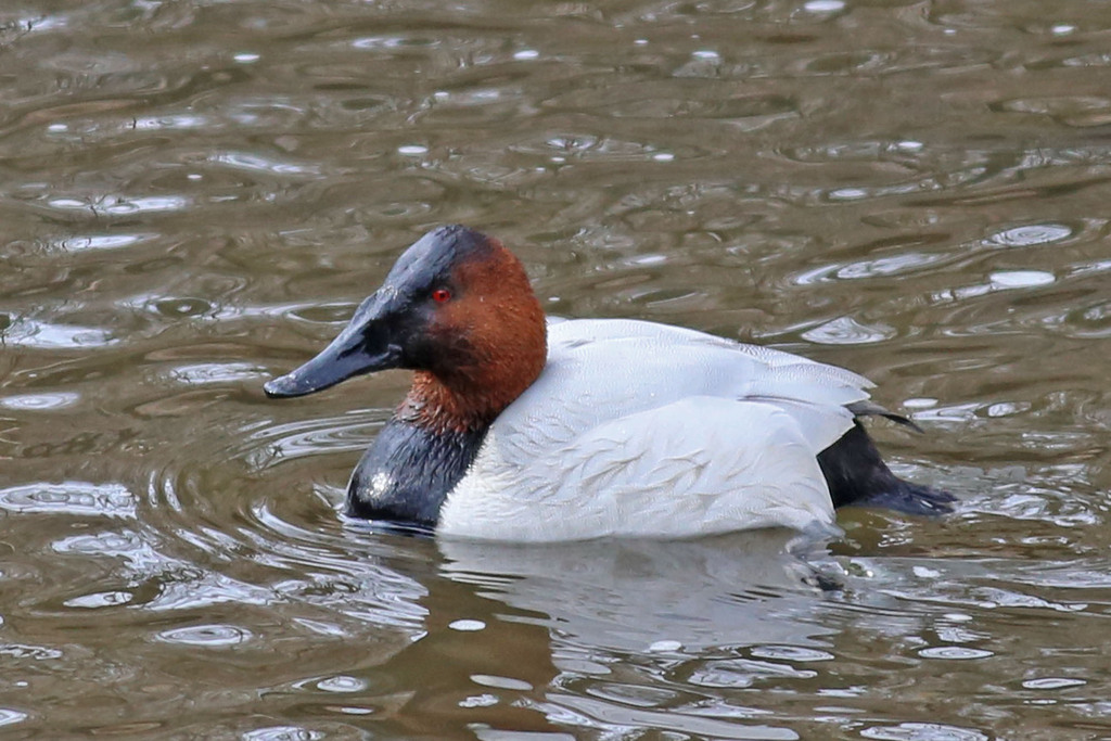
- CanvasbackAythya valisineria
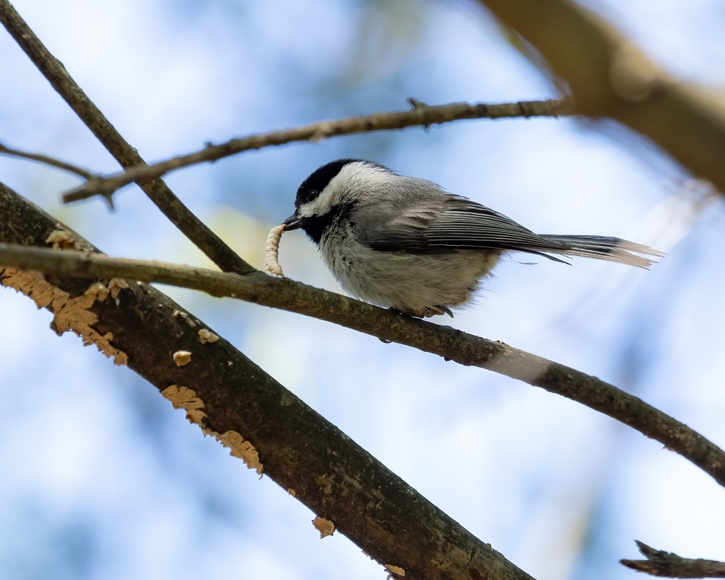
- Carolina ChickadeePoecile carolinensis
- Carolina WrenThryothorus ludovicianus
- Cedar WaxwingBombycilla cedrorum
- Chimney SwiftChaetura pelagica
- Chipping SparrowSpizella passerina




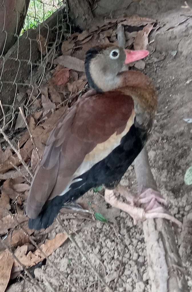

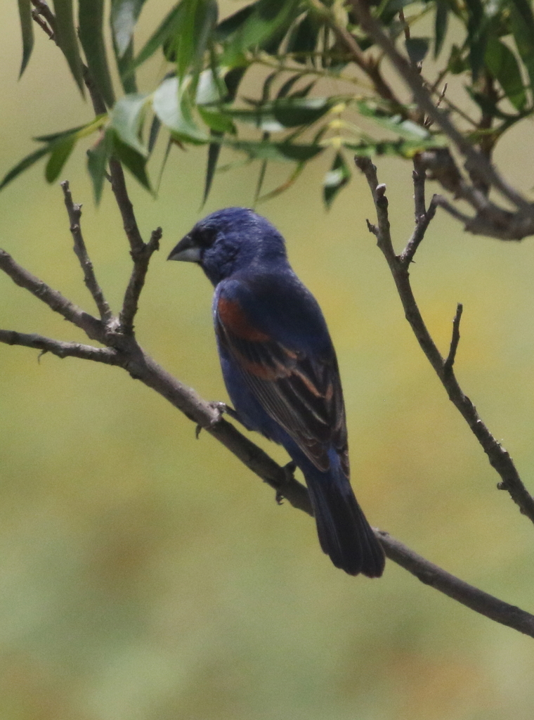
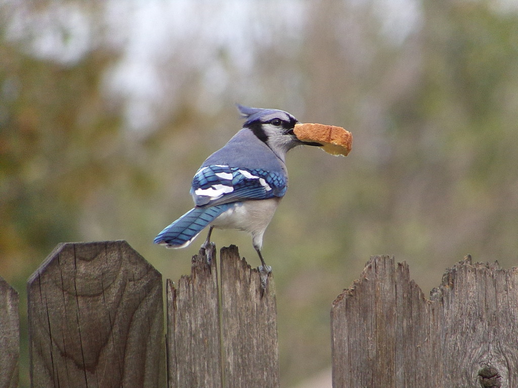
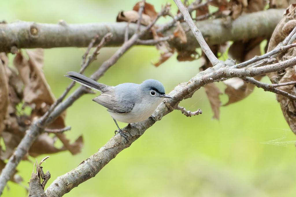
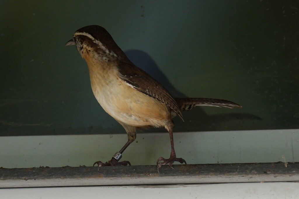
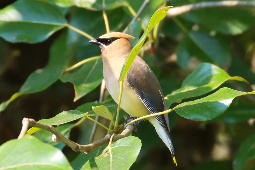

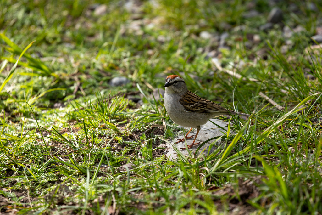
NatureServe Explorer, CC BY 4.0. USGS Gap Analysis Project habitat models.
Sources
- USGS Gap Analysis Project habitat models (2001)
- USGS GAP year-round habitat model for Red-cockaded Woodpecker
- USGS Gap Analysis Project range maps (2001), modeled by watershed; migratory gives no dates
- NatureServe Explorer (CC BY 4.0), habitat names
- US Census TIGER/Line counties
- Names follow the USGS Gap Analysis Project (2001)