

Bird
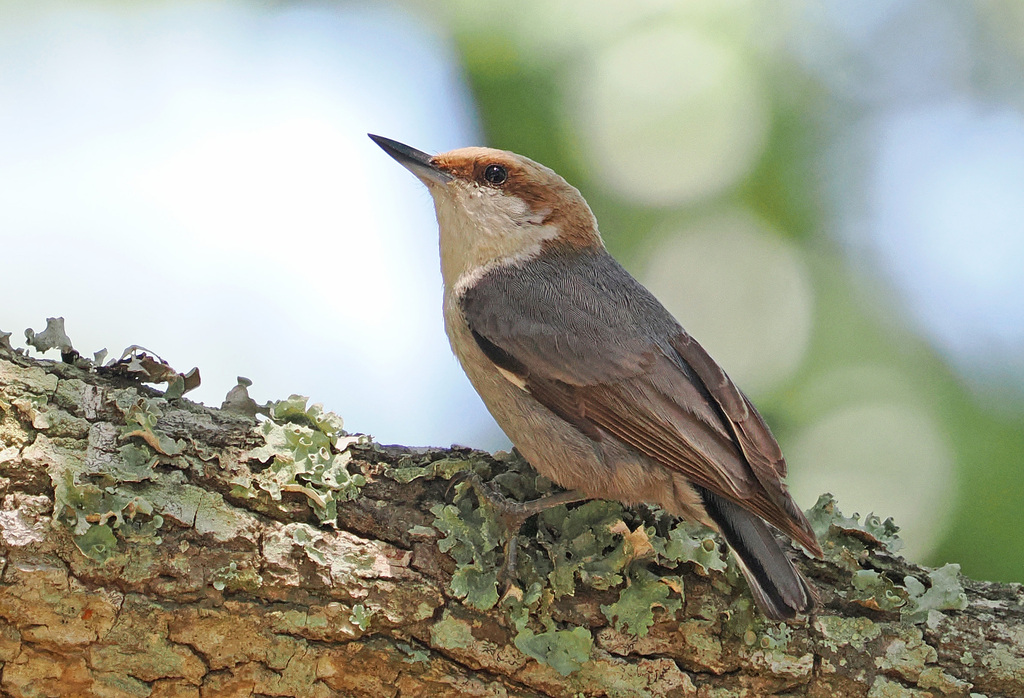
Brown-headed Nuthatch
Sitta pusilla
Lives in Mississippi all year and nests here. Found in 74 of 82 counties, across 5 habitats.
- Here
- All year
- Nesting
- Nests here
- Range
- 74 of 82 counties
- Habitats
- 5
At a glance
- Group
- Birds
- Here
- All year
- Nesting
- Nests here
- Range
- 74 of 82 counties
- Habitats
- 5
- Habitat models
- Year-round
Where it lives
The places its habitat model includes. It is not found everywhere a habitat occurs.
Habitats in Mississippi 5
Each habitat page lists the plants and wildlife also found there.
Flat, poorly drained uplands and terraces with oaks, sweetgum and sometimes loblolly pine, wet in winter and dry in summer, but neither a floodplain nor a swamp.
Salt-pruned forests and shrub thickets behind coastal dunes.
Flat, sandy Coastal Plain pine woodlands, wetter than sandhills and denser than savannas.
Open, grass-dominated places kept open by fire, grazing or thin soil, from tallgrass prairie to Piedmont prairies.
Roadsides, fields and disturbed ground
Ground opened by people: roadsides, old fields, pastures, fencerows and lots.
Other habitats in its models (32)
Land cover, or classes with no habitat page in Mississippi.
- Developed, Low Intensity Year-round, beside its main habitat.
- Atlantic Coastal Plain Southern Maritime Forest Year-round.
- Northeastern Interior Dry Oak Forest - Virginia/Pitch Pine Modifier Year-round.
- Southern Piedmont Dry Oak-(Pine) Forest - Loblolly Pine Modifier Year-round.
- East Gulf Coastal Plain Northern Dry Upland Hardwood Forest - Offsite Pine Modifier Year-round.
- Allegheny-Cumberland Dry Oak Forest and Woodland - Pine Modifier Year-round.
- Southern Ridge and Valley Dry Calcareous Forest - Pine modifier Year-round.
- East Gulf Coastal Plain Interior Shortleaf Pine-Oak Forest - Mixed Modifier Year-round.
- Southern Piedmont Dry Oak-(Pine) Forest - Mixed Modifier Year-round.
- Southern Piedmont Dry Oak-Heath Forest - Mixed Modifier Year-round.
- West Gulf Coastal Plain Upland Longleaf Pine Forest and Woodland Year-round.
- Southeastern Interior Longleaf Pine Woodland Year-round.
- Southern Piedmont Dry Oak-(Pine) Forest Year-round.
- Central Appalachian Oak and Pine Forest Year-round.
- West Gulf Coastal Plain Pine-Hardwood Forest Year-round.
- West Gulf Coastal Plain Sandhill Oak and Shortleaf Pine Forest and Woodland Year-round.
- Florida Longleaf Pine Sandhill - Open Understory Modifier Year-round.
- Florida Longleaf Pine Sandhill - Scrub/Shrub Understory Modifier Year-round.
- Atlantic Coastal Plain Fall-Line Sandhills Longleaf Pine Woodland - Loblolly Modifier Year-round.
- Atlantic Coastal Plain Fall-line Sandhills Longleaf Pine Woodland - Open Understory Modifier Year-round.
- Atlantic Coastal Plain Fall-line Sandhills Longleaf Pine Woodland - Scrub/Shrub Understory Modifier Year-round.
- East Gulf Coastal Plain Interior Upland Longleaf Pine Woodland - Loblolly Modifier Year-round.
- East Gulf Coastal Plain Interior Upland Longleaf Pine Woodland - Open Understory Modifier Year-round.
- East Gulf Coastal Plain Interior Upland Longleaf Pine Woodland - Scrub/Shrub Modifier Year-round.
- Atlantic Coastal Plain Upland Longleaf Pine Woodland Year-round.
- Southern Appalachian Low Mountain Pine Forest Year-round.
- South Florida Pine Flatwoods Year-round.
- Central Atlantic Coastal Plain Wet Longleaf Pine Savanna and Flatwoods Year-round.
- Atlantic Coastal Plain Southern Wet Pine Savanna and Flatwoods Year-round.
- West Gulf Coastal Plain Wet Longleaf Pine Savanna and Flatwoods Year-round.
- Central Florida Pine Flatwoods Year-round.
- West Gulf Coastal Plain Pine-Hardwood Flatwoods Year-round.
- The model distinguishes open pine habitat from nearby denser pine.
Seasons in Mississippi
- Year-round: nests here, in 74 of 82 counties.
Also found in this habitat
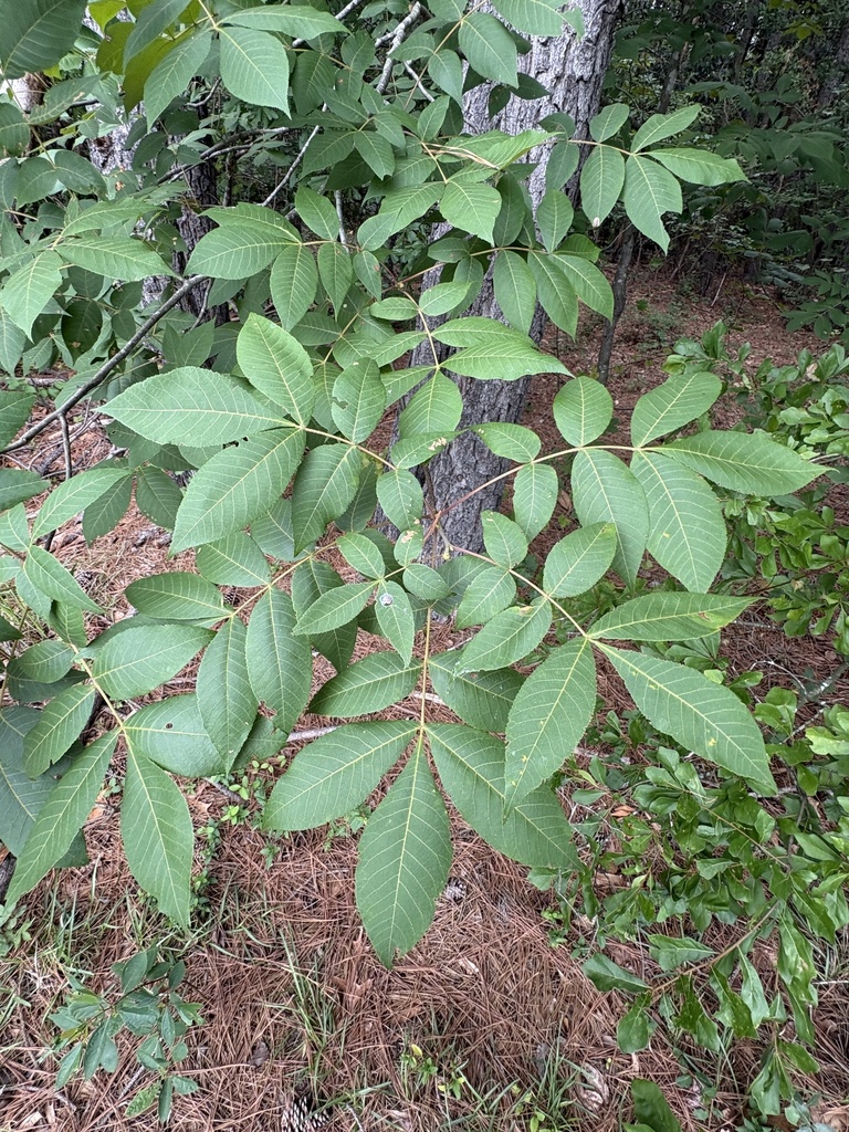
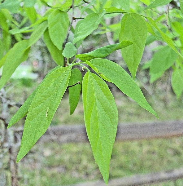
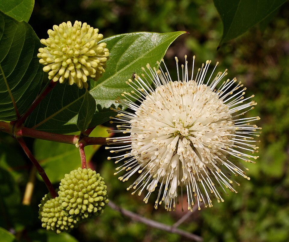
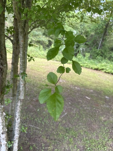
Plants 72
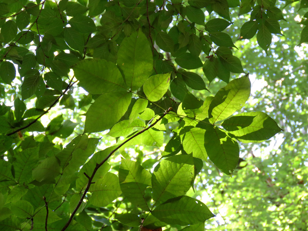
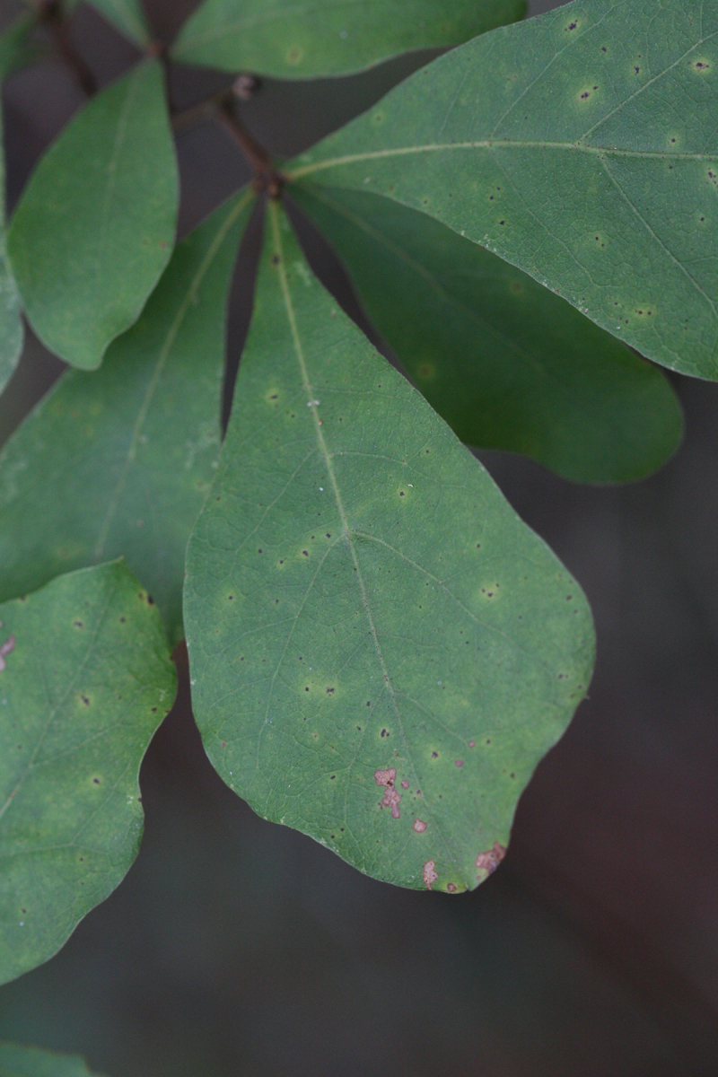
Plants named in NatureServe descriptions of these habitats that grow in Mississippi. Shared habitat, not food.
- Pignut HickoryCarya glabra
- Common WaxmyrtleMorella cerifera
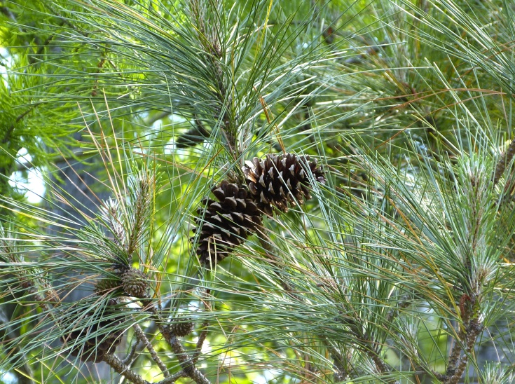
- Loblolly PinePinus taeda
- Water OakQuercus nigra
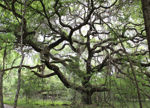
- Live OakQuercus virginiana
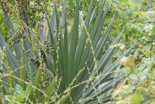
- Dwarf PalmettoSabal minor
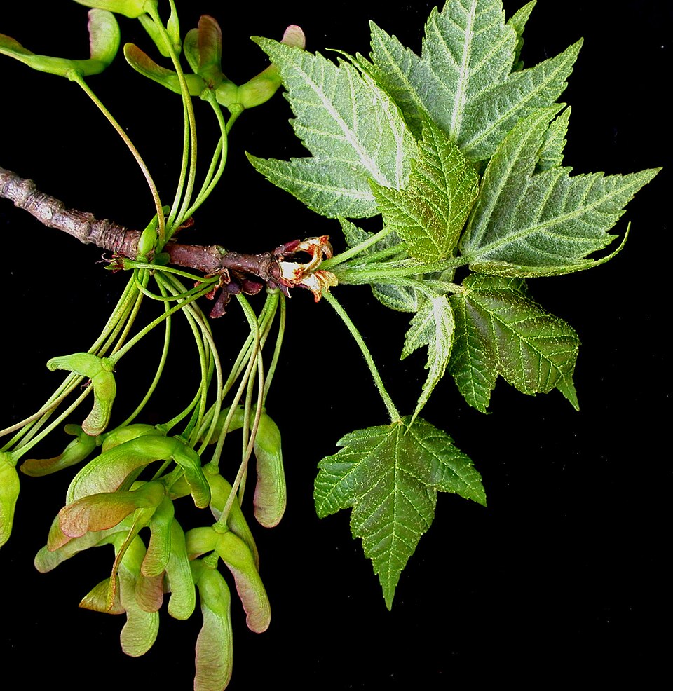
- Red MapleAcer rubrum
- Agrimonia incisaAgrimonia incisa
- Switch CaneArundinaria tecta
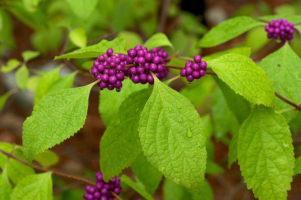
- American BeautyberryCallicarpa americana
- Sand HickoryCarya pallida
- SugarberryCeltis laevigata
- ButtonbushCephalanthus occidentalis
- Ceratiola ericoidesCeratiola ericoides
- Slender SpikegrassChasmanthium laxum
- Longleaf SpikegrassChasmanthium sessiliflorum
- False RosemaryConradina canescens
- Riverflat HawthornCrataegus opaca
- Green HawthornCrataegus viridis
- American PersimmonDiospyros virginiana
- American BeechFagus grandifolia
- Green AshFraxinus pennsylvanica
- Possumhaw HollyIlex decidua
- InkberryIlex glabra

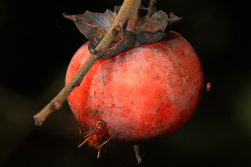
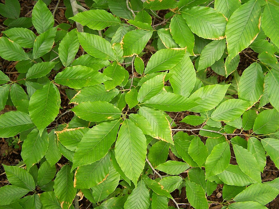
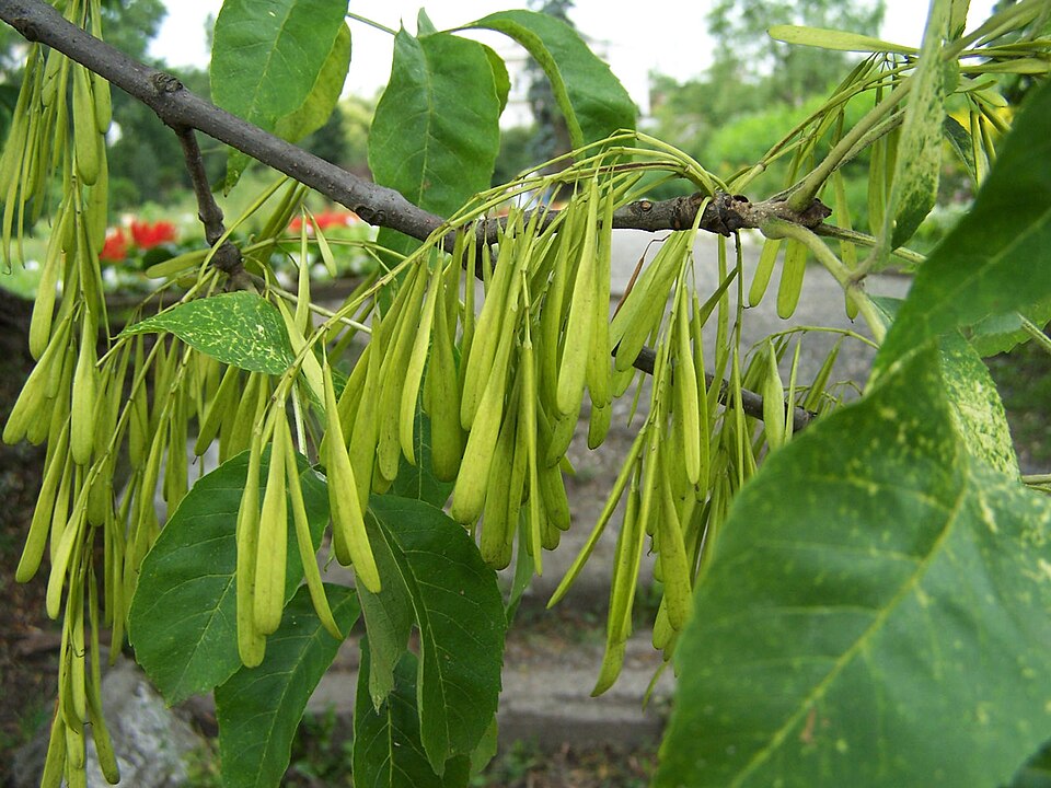
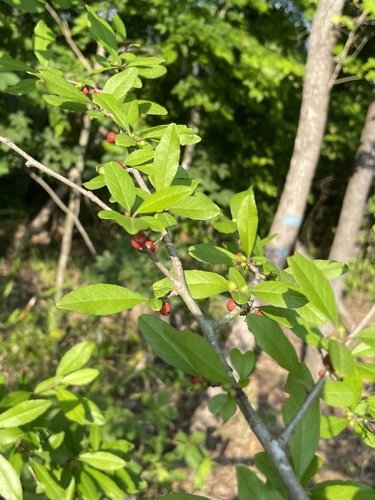
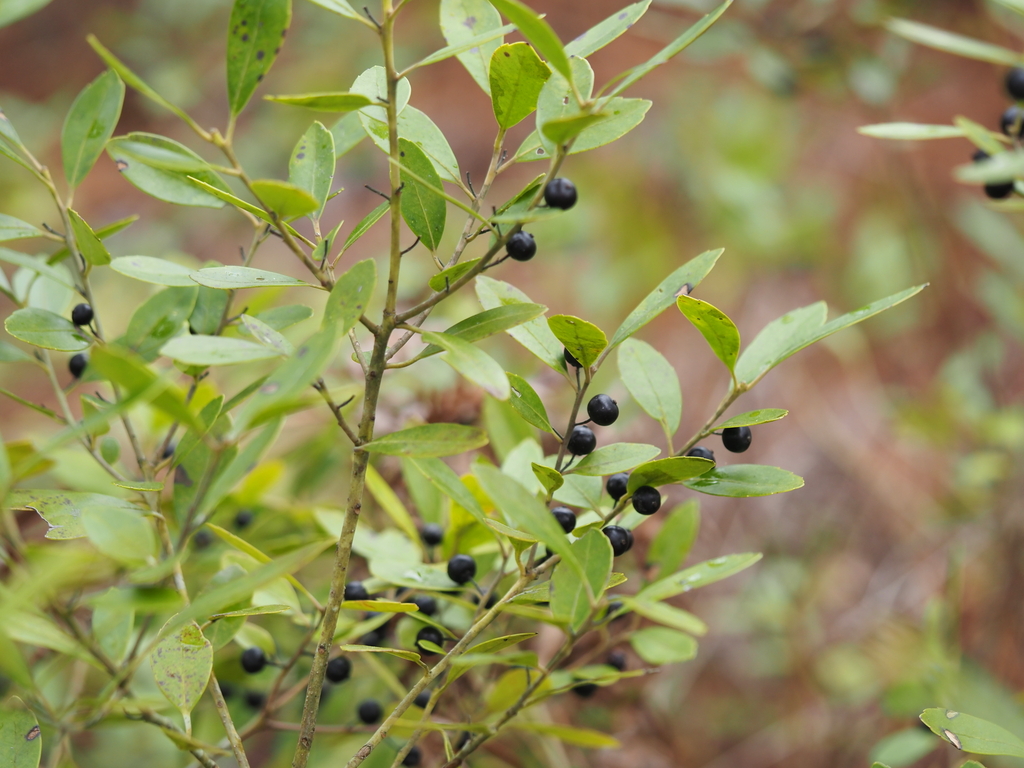
Wildlife 193
Other animals whose habitat models include the same habitats in Mississippi. Not sighting records.
- American CrowCorvus brachyrhynchos
- American GoldfinchCarduelis tristis
- American KestrelFalco sparverius
- American RobinTurdus migratorius
- Black-crowned Night-heronNycticorax nycticorax
- Blue GrosbeakPasserina caerulea
- Chipping SparrowSpizella passerina
- Common NighthawkChordeiles minor
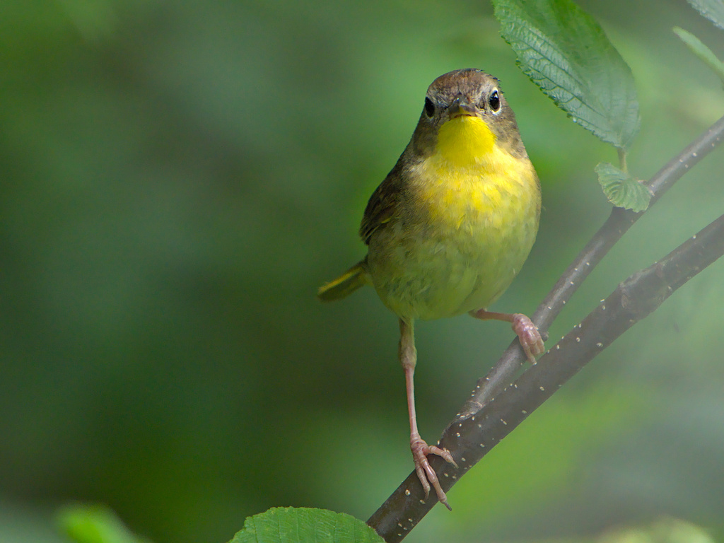
- Common YellowthroatGeothlypis trichas
- Cooper's HawkAccipiter cooperii
- Eastern KingbirdTyrannus tyrannus
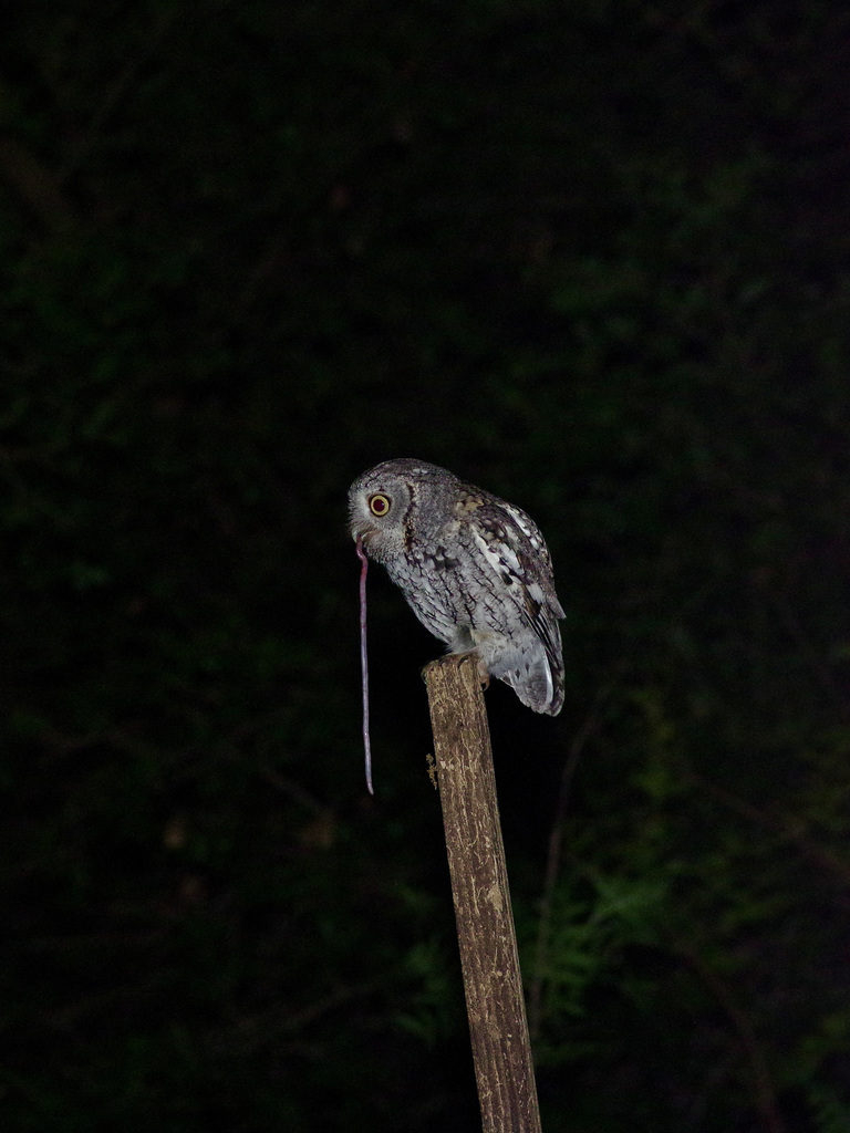
- Eastern Screech-owlMegascops asio
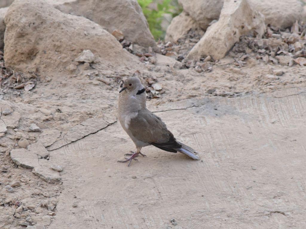
- Eurasian Collared-doveStreptopelia decaocto
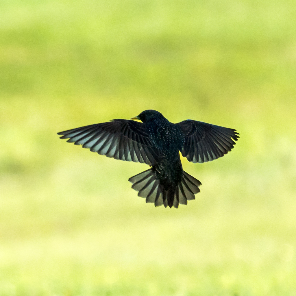
- European StarlingSturnus vulgaris
- Great Horned OwlBubo virginianus
- Lincoln's SparrowMelospiza lincolnii
- Mourning DoveZenaida macroura
- Northern BobwhiteColinus virginianus
- Northern CardinalCardinalis cardinalis
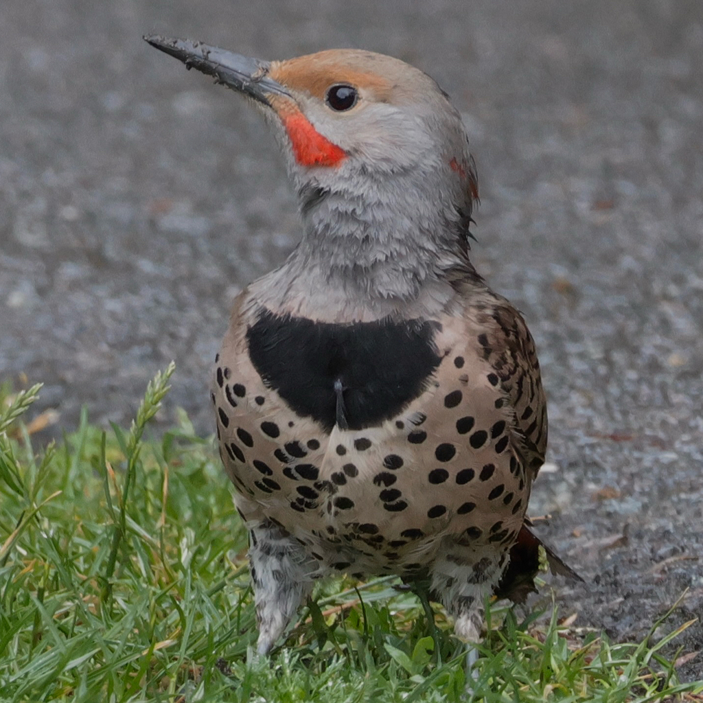
- Northern FlickerColaptes auratus
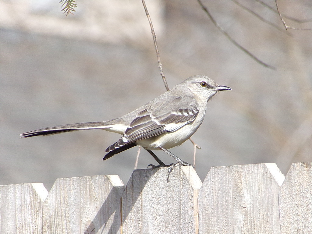
- Northern MockingbirdMimus polyglottos
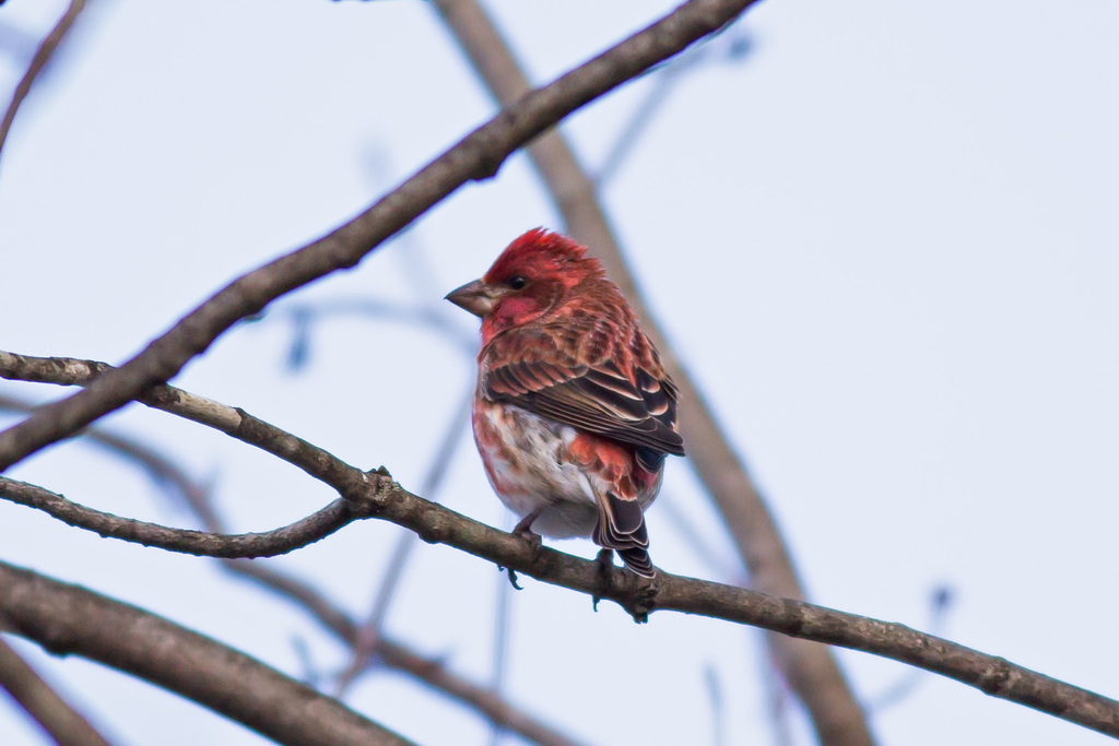
- Purple FinchCarpodacus purpureus
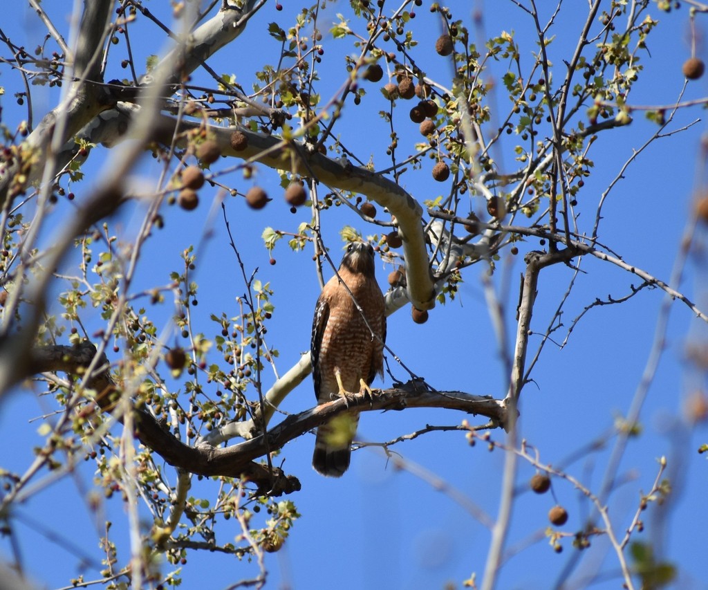
- Red-shouldered HawkButeo lineatus
- Red-tailed HawkButeo jamaicensis


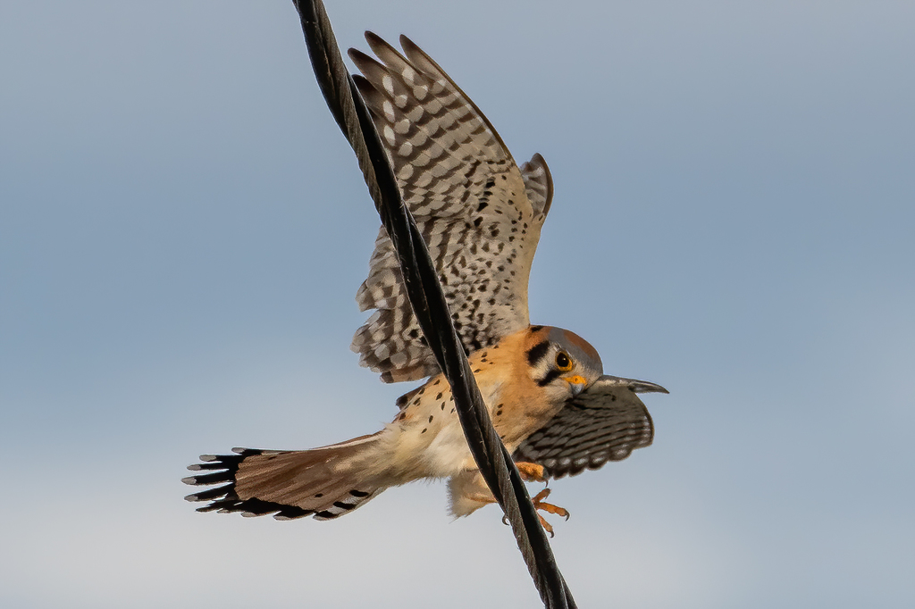


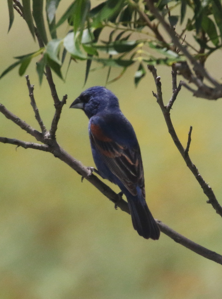
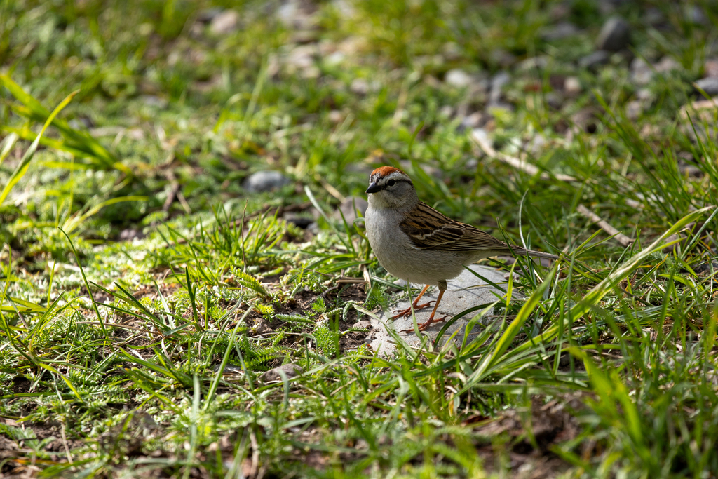




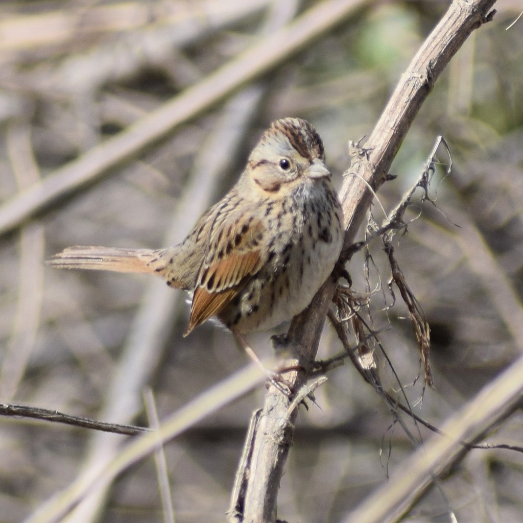
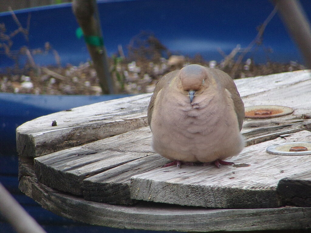
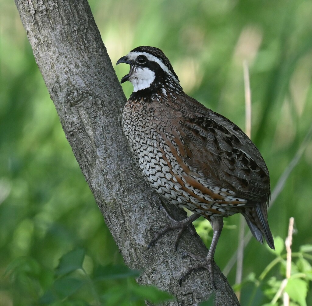
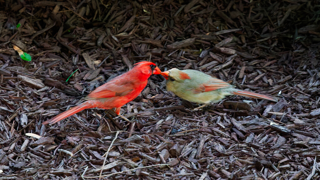
NatureServe Explorer, CC BY 4.0. USGS Gap Analysis Project habitat models.
Sources
- USGS Gap Analysis Project habitat models (2001)
- USGS GAP year-round habitat model for Brown-headed Nuthatch Elevation 0 to 762 m
- USGS Gap Analysis Project range maps (2001), modeled by watershed; migratory gives no dates
- NatureServe Explorer (CC BY 4.0), habitat names
- US Census TIGER/Line counties
- Names follow the USGS Gap Analysis Project (2001)