

Bird
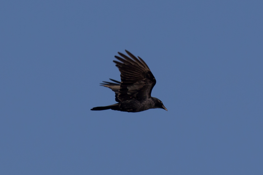
Fish Crow
Corvus ossifragus
Lives in Mississippi all year and nests here. Found in 71 of 82 counties, across 16 habitats.
- Here
- All year
- Nesting
- Nests here
- Range
- 71 of 82 counties
- Habitats
- 16
At a glance
- Group
- Birds
- Here
- All year
- Nesting
- Nests here
- Range
- 71 of 82 counties
- Habitats
- 16
- Habitat models
- Year-round
Where it lives
The places its habitat model includes. It is not found everywhere a habitat occurs.
Habitats in Mississippi 16
Each habitat page lists the plants and wildlife also found there.
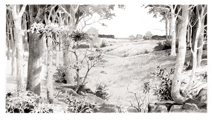
Open sand of beaches, dunes and the hollows between them.
Dense, evergreen groves of live oak, magnolia and other hardwoods in the southern Coastal Plain, from dry oak domes to wet hydric hammocks and south Florida's tropical hammocks; salt-shaped maritime hammocks are maritime forests.
Open, wet, seepage-fed bogs of the Coastal Plain and Sandhills, often with pitcher plants.
Disturbed and introduced wetlands
Wet ground taken over by weedy or introduced plants after disturbance, such as common reed, Chinese tallow or tamarisk stands; the upland counterpart is roadsides, fields and disturbed ground.
Floodplain and bottomland forests
Forests on low ground beside rivers and streams that flood from time to time.
Open, herb-covered wetlands with fresh, non-tidal water.
Flat, poorly drained uplands and terraces with oaks, sweetgum and sometimes loblolly pine, wet in winter and dry in summer, but neither a floodplain nor a swamp.
Forests on moist but not wet ground, such as rich slopes and ravines.
Flat, sandy Coastal Plain pine woodlands, wetter than sandhills and denser than savannas.
Open, fire-kept longleaf pine stands over grasses and wildflowers on wet to moist sandy soil.
Open, grass-dominated places kept open by fire, grazing or thin soil, from tallgrass prairie to Piedmont prairies.
Roadsides, fields and disturbed ground
Ground opened by people: roadsides, old fields, pastures, fencerows and lots.
Coastal marshes flooded by salty or brackish tides.
Forested wetlands with standing water much of the year, such as cypress and gum swamps.
Tree plantations and managed pine
Planted or intensively managed stands of pine or hardwoods grown for timber; a land use rather than a natural community.
Other habitats in its models (90)
Land cover, or classes with no habitat page in Mississippi.
- Developed, Low Intensity Year-round.
- Developed, Medium Intensity Year-round.
- Atlantic Coastal Plain Northern Sandy Beach Year-round.
- Atlantic Coastal Plain Southern Beach Year-round.
- Unconsolidated Shore (Lake/River/Pond) Year-round.
- Unconsolidated Shore Year-round.
- Louisiana Beach Year-round.
- Southeast Florida Beach Year-round.
- South Florida Shell Hash Beach Year-round.
- Atlantic Coastal Plain Sea Island Beach Year-round.
- Southwest Florida Beach Year-round.
- Central Interior Calcareous Cliff and Talus Year-round.
- Central Interior Acidic Cliff and Talus Year-round.
- Ridge and Valley Calcareous Valley Bottom Glade and Woodland Year-round.
- South Florida Hardwood Hammock Year-round.
- South Florida Pine Rockland Year-round.
- Southern Piedmont Mesic Forest Year-round.
- East Gulf Coastal Plain Black Belt Calcareous Prairie and Woodland - Woodland Modifier Year-round.
- Southeastern Interior Longleaf Pine Woodland Year-round.
- South-Central Interior Mesophytic Forest Year-round.
- Atlantic Coastal Plain Mesic Hardwood and Mixed Forest Year-round.
- Atlantic Coastal Plain Fall-line Sandhills Longleaf Pine Woodland - Open Understory Modifier Year-round.
- Atlantic Coastal Plain Fall-line Sandhills Longleaf Pine Woodland - Scrub/Shrub Understory Modifier Year-round.
- East Gulf Coastal Plain Interior Upland Longleaf Pine Woodland - Loblolly Modifier Year-round.
- East Gulf Coastal Plain Interior Upland Longleaf Pine Woodland - Open Understory Modifier Year-round.
- East Gulf Coastal Plain Interior Upland Longleaf Pine Woodland - Scrub/Shrub Modifier Year-round.
- Atlantic Coastal Plain Upland Longleaf Pine Woodland Year-round.
- Florida Peninsula Inland Scrub Year-round.
- Southern Piedmont Glade and Barrens Year-round.
- Nashville Basin Limestone Glade Year-round.
- Cumberland Sandstone Glade and Barrens Year-round.
- Atlantic Coastal Plain Xeric River Dune Year-round.
- Florida Dry Prairie Year-round.
- Atlantic Coastal Plain Southern Dune and Maritime Grassland Year-round.
- Southwest Florida Dune and Coastal Grassland Year-round.
- Recently Logged Areas Year-round.
- Recently Burned Year-round.
- Recently Burned Forest Year-round.
- Recently Burned Shrubland Year-round.
- Introduced Upland Vegetation - Shrub Year-round.
- Atlantic Coastal Plain Central Salt and Brackish Tidal Marsh Year-round.
- Atlantic Coastal Plain Indian River Lagoon Tidal Marsh Year-round.
- Atlantic Coastal Plain Embayed Region Tidal Salt and Brackish Marsh Year-round.
- Atlantic Coastal Plain Northern Tidal Salt Marsh Year-round.
- Florida Big Bend Salt-Brackish Tidal Marsh Year-round.
- Southern Coastal Plain Nonriverine Basin Swamp - Okefenokee Pine Modifier Year-round.
- Southern Coastal Plain Nonriverine Basin Swamp - Okefenokee Clethra Modifier Year-round.
- Atlantic Coastal Plain Clay-Based Carolina Bay Herbaceous Wetland Year-round.
- Atlantic Coastal Plain Peatland Pocosin Year-round.
- Atlantic Coastal Plain Streamhead Seepage Swamp - Pocosin - and Baygall Year-round.
- Atlantic Coastal Plain Large Natural Lakeshore Year-round.
- Atlantic Coastal Plain Southern Tidal Wooded Swamp Year-round.
- South Florida Everglades Sawgrass Marsh Year-round.
- Floridian Highlands Freshwater Marsh Year-round.
- Atlantic Coastal Plain Embayed Region Tidal Freshwater Marsh Year-round.
- Central Florida Herbaceous Seep Year-round.
- Florida Big Bend Fresh-Oligohaline Tidal Marsh Year-round.
- Atlantic Coastal Plain Northern Fresh and Oligohaline Tidal Marsh Year-round.
- Atlantic Coastal Plain Northern Tidal Wooded Swamp Year-round.
- South Florida Mangrove Swamp Year-round.
- South Florida Bayhead Swamp Year-round.
- Northern Atlantic Coastal Plain Basin Swamp and Wet Hardwood Forest Year-round.
- Atlantic Coastal Plain Central Fresh-Oligohaline Tidal Marsh Year-round.
- Atlantic Coastal Plain Nonriverine Swamp and Wet Hardwood Forest - Taxodium/Nyssa Modifier Year-round.
- Atlantic Coastal Plain Nonriverine Swamp and Wet Hardwood Forest - Oak Dominated Modifier Year-round.
- Atlantic Coastal Plain Clay-Based Carolina Bay Forested Wetland Year-round.
- South Florida Dwarf Cypress Savanna Year-round.
- Southern and Central Appalachian Bog and Fen Year-round.
- South Florida Wet Marl Prairie Year-round.
- South Florida Cypress Dome Year-round.
- Central Florida Herbaceous Pondshore Year-round.
- East Gulf Coastal Plain Southern Depression Pondshore Year-round.
- Southern Piedmont/Ridge and Valley Upland Depression Swamp Year-round.
- Atlantic Coastal Plain Depression Pondshore Year-round.
- South Florida Freshwater Slough and Gator Hole Year-round.
- Atlantic Coastal Plain Blackwater Stream Floodplain Forest - Forest Modifier Year-round.
- Southern Piedmont Large Floodplain Forest - Forest Modifier Year-round.
- East Gulf Coastal Plain Large River Floodplain Forest - Herbaceous Modifier Year-round.
- Southern Coastal Plain Hydric Hammock Year-round.
- Southern Piedmont Small Floodplain and Riparian Forest Year-round.
- Atlantic Coastal Plain Small Brownwater River Floodplain Forest Year-round.
- Atlantic Coastal Plain Small Blackwater River Floodplain Forest Year-round.
- Red River Large Floodplain Forest Year-round.
- Atlantic Coastal Plain Brownwater Stream Floodplain Forest Year-round.
- Texas-Louisiana Coastal Prairie Slough Year-round.
- East Gulf Coastal Plain Near-Coast Pine Flatwoods - Offsite Hardwood Modifier Year-round.
- South Florida Pine Flatwoods Year-round.
- Central Atlantic Coastal Plain Wet Longleaf Pine Savanna and Flatwoods Year-round.
- Atlantic Coastal Plain Southern Wet Pine Savanna and Flatwoods Year-round.
- Central Florida Pine Flatwoods Year-round.
Seasons in Mississippi
- Year-round: nests here, in 71 of 82 counties.
Also found in this habitat
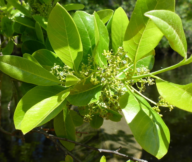
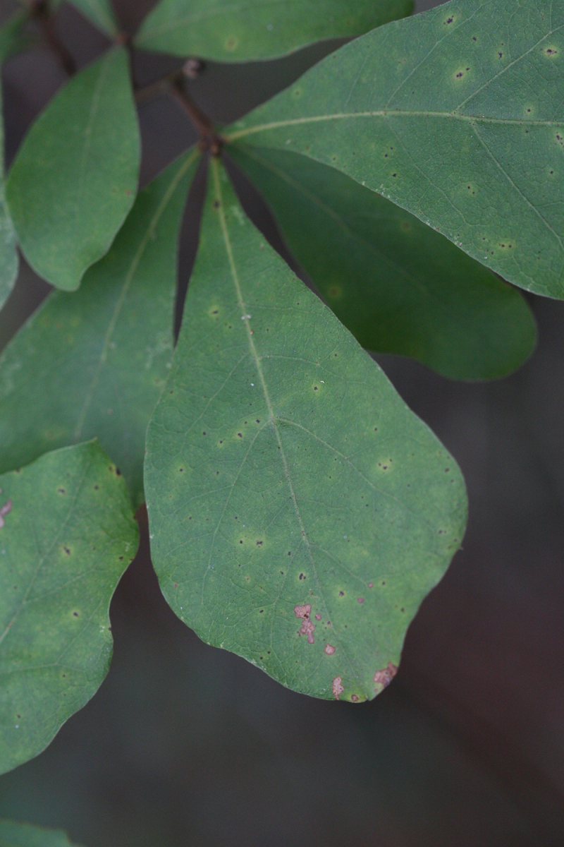
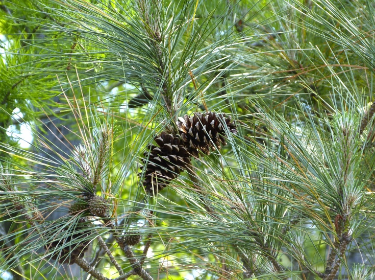
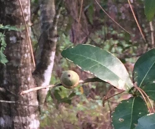
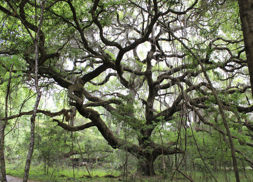
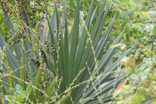
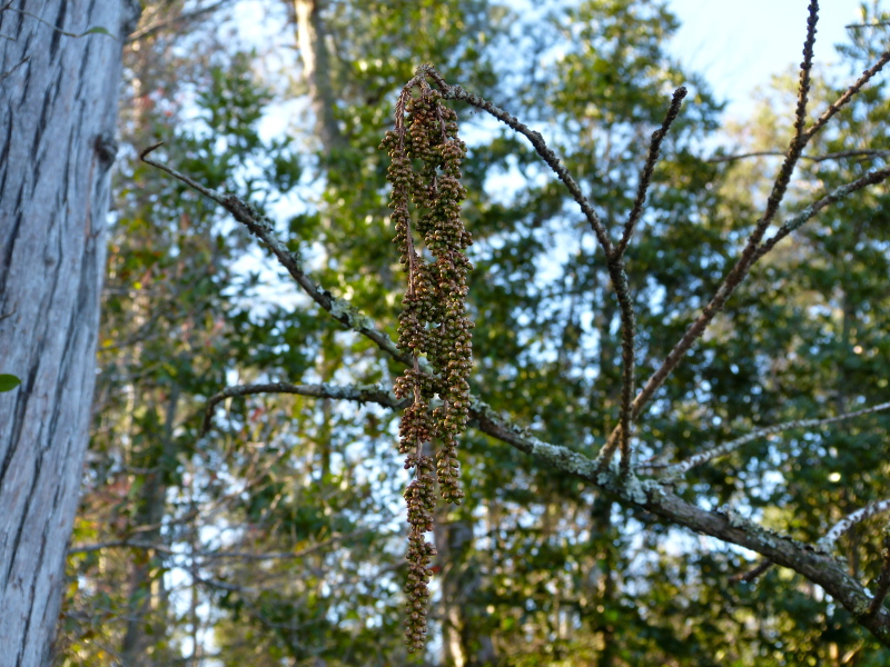
Plants 521
Plants named in NatureServe descriptions of these habitats that grow in Mississippi. Shared habitat, not food.
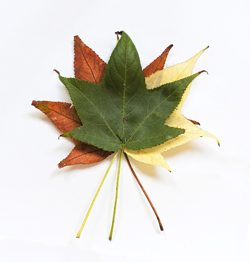
- SweetgumLiquidambar styraciflua
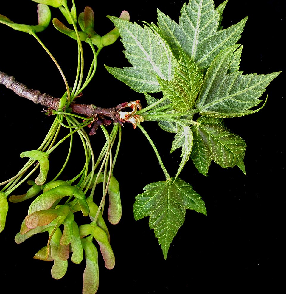
- Red MapleAcer rubrum
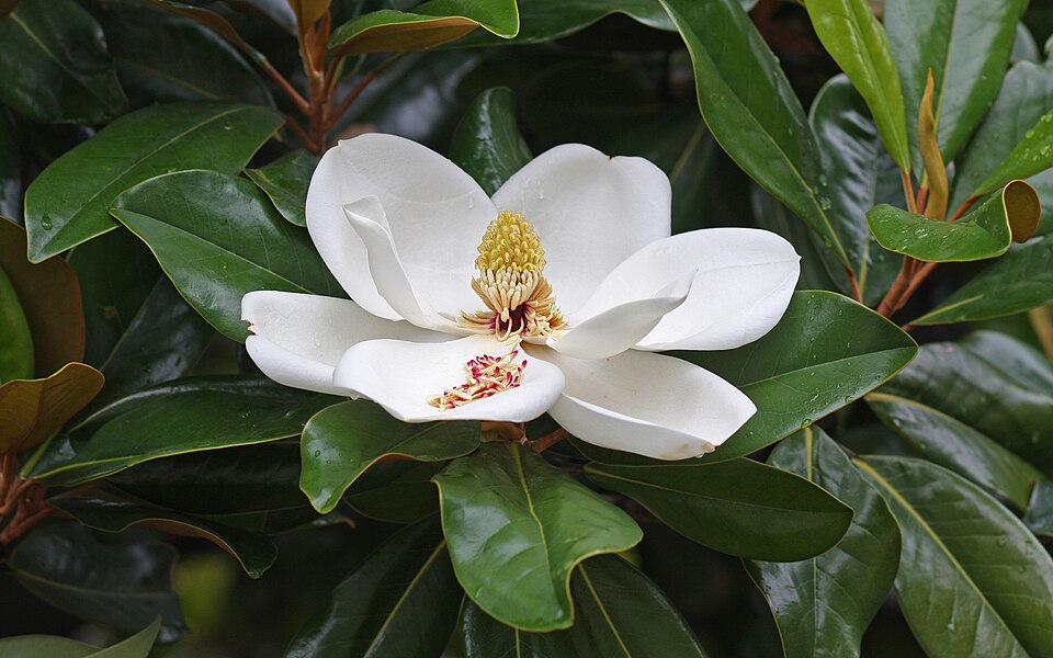
- Southern MagnoliaMagnolia grandiflora
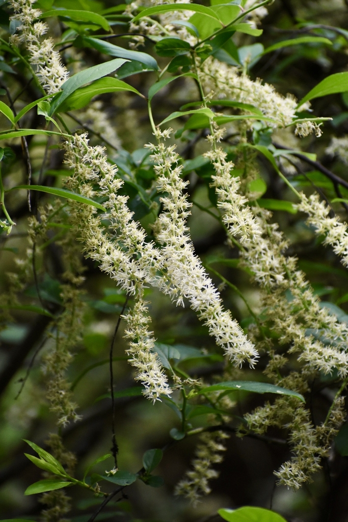
- TitiCyrilla racemiflora
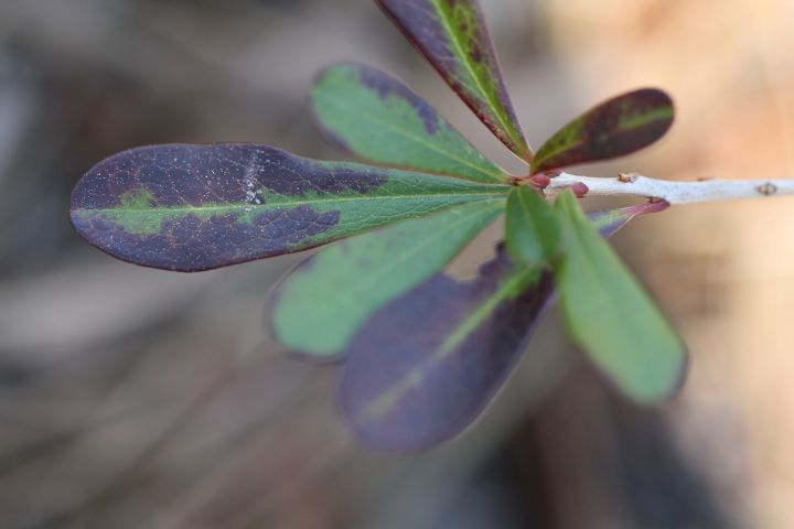
- Virginia SweetspireItea virginica
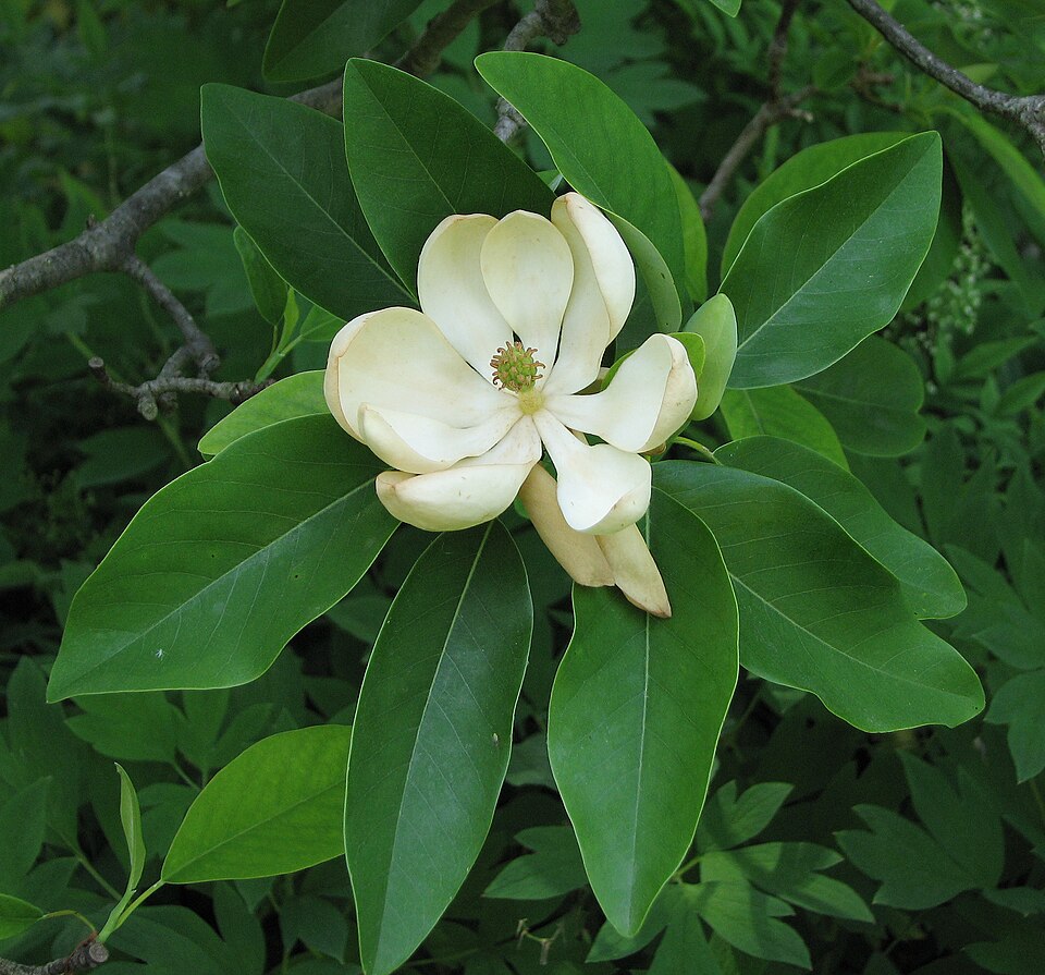
- Sweetbay MagnoliaMagnolia virginiana
- Common WaxmyrtleMorella cerifera
- Swamp TupeloNyssa biflora
- Water OakQuercus nigra
- Cherrybark OakQuercus pagoda
- Serenoa repensSerenoa repens
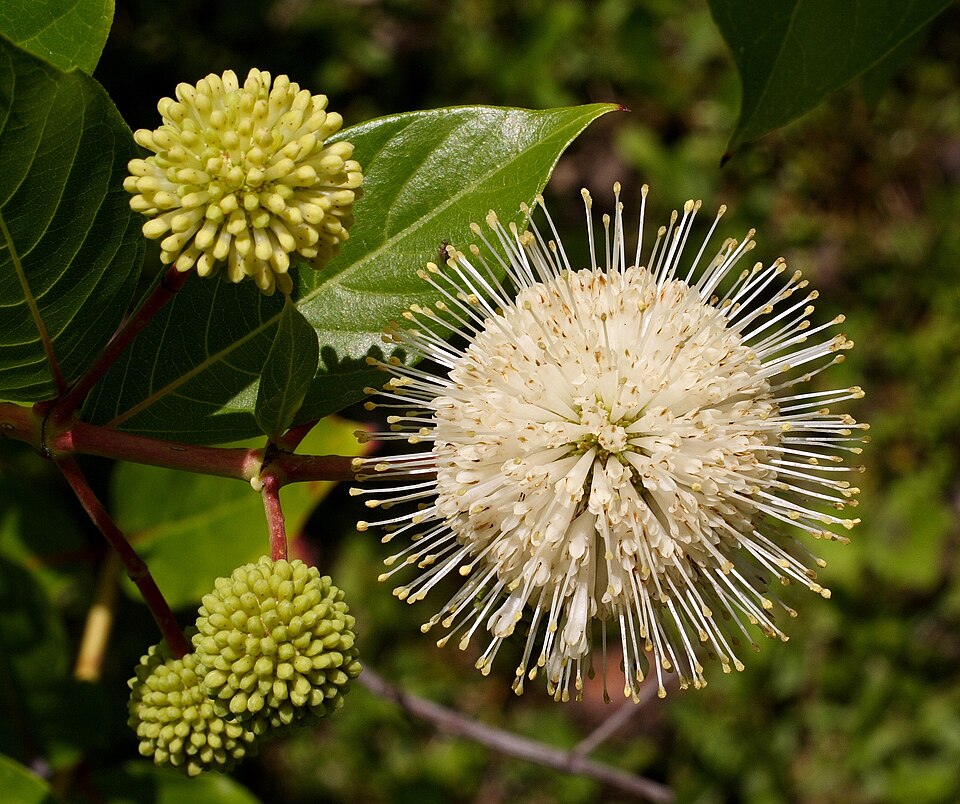
- ButtonbushCephalanthus occidentalis
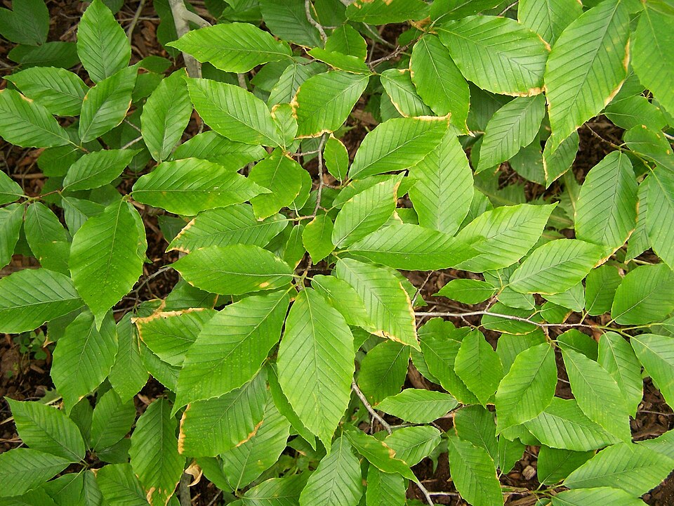
- American BeechFagus grandifolia
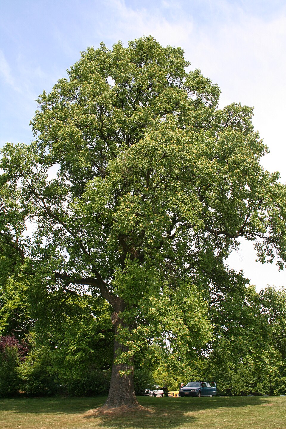
- TuliptreeLiriodendron tulipifera
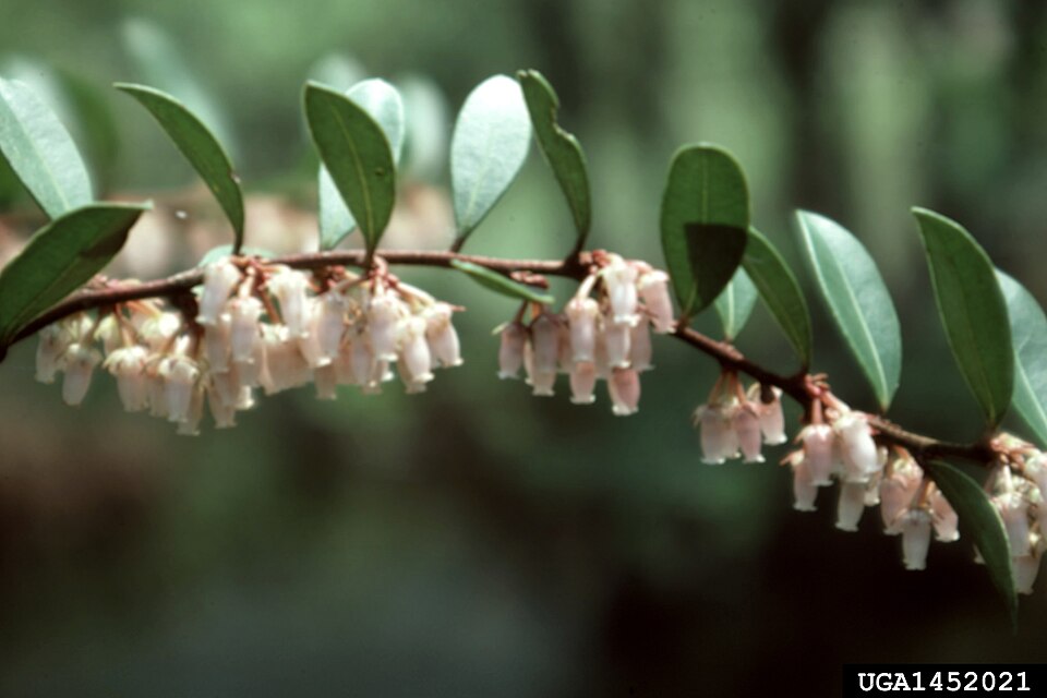
- Shining FetterbushLyonia lucida
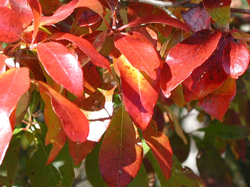
- BlackgumNyssa sylvatica
- Slash PinePinus elliottii
- Pinus elliottii var. elliottiiPinus elliottii var. elliottii
- Loblolly PinePinus taeda
- Laurel OakQuercus laurifolia
- Live OakQuercus virginiana
- Dwarf PalmettoSabal minor
- Pond CypressTaxodium ascendens
- False NettleBoehmeria cylindrica

Wildlife 265
Other animals whose habitat models include the same habitats in Mississippi. Not sighting records.
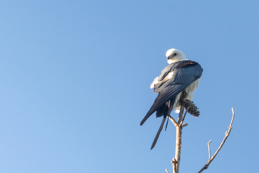
- Swallow-tailed KiteElanoides forficatus
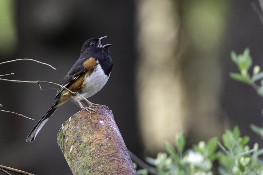
- Eastern TowheePipilo erythrophthalmus
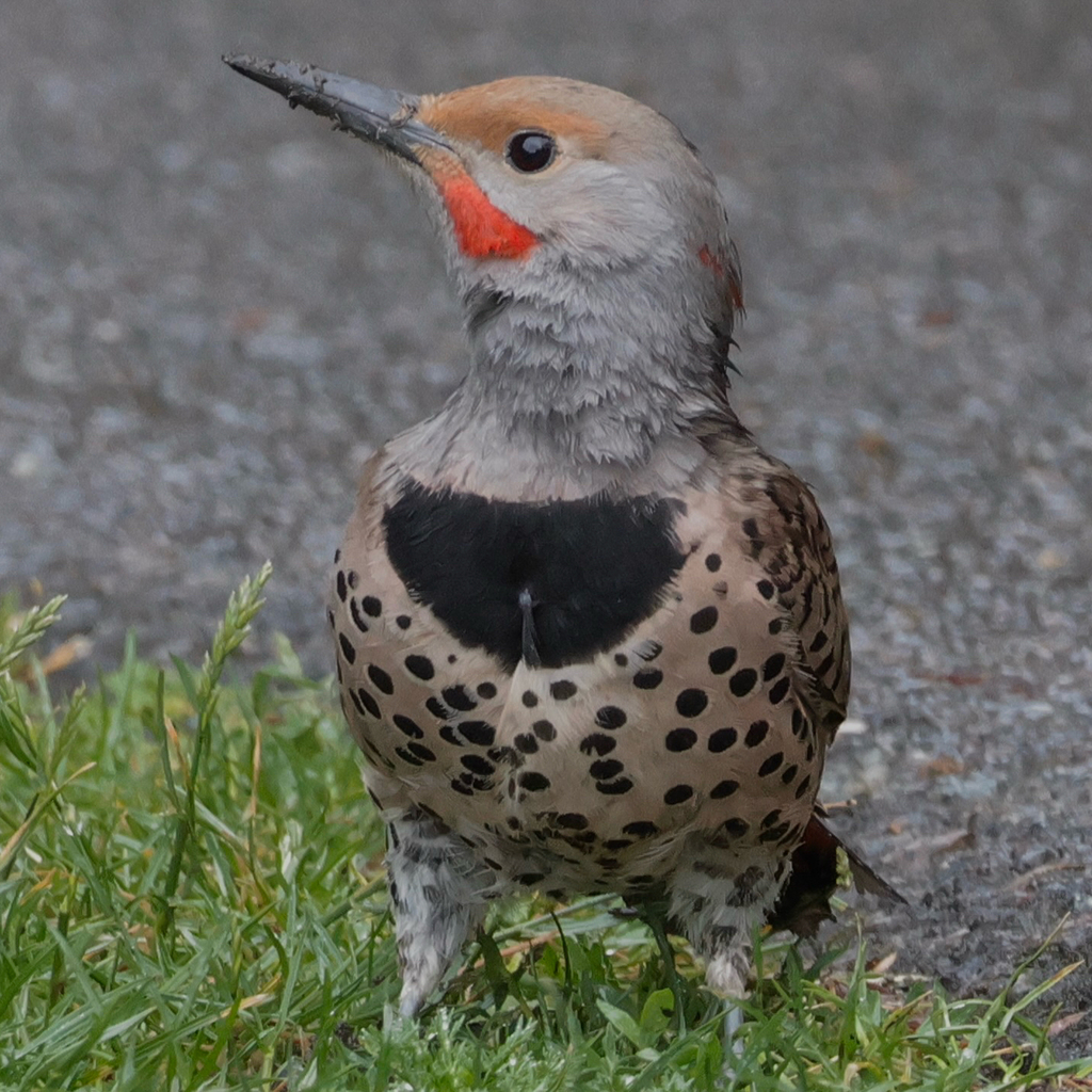
- Northern FlickerColaptes auratus
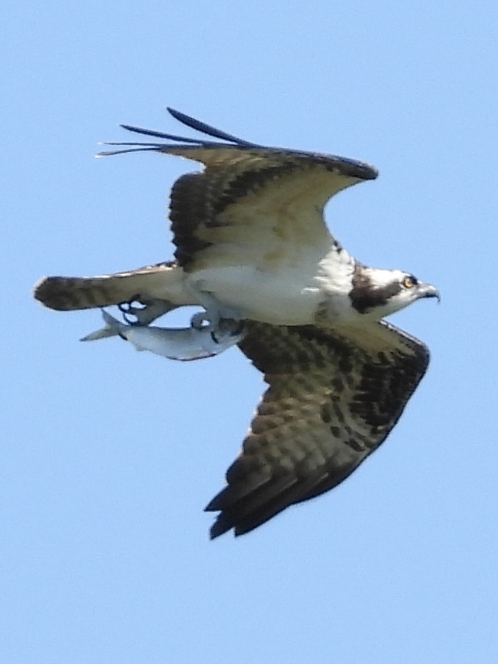
- OspreyPandion haliaetus
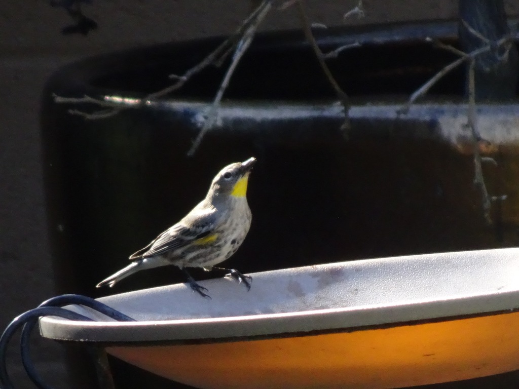
- Yellow-rumped WarblerDendroica coronata
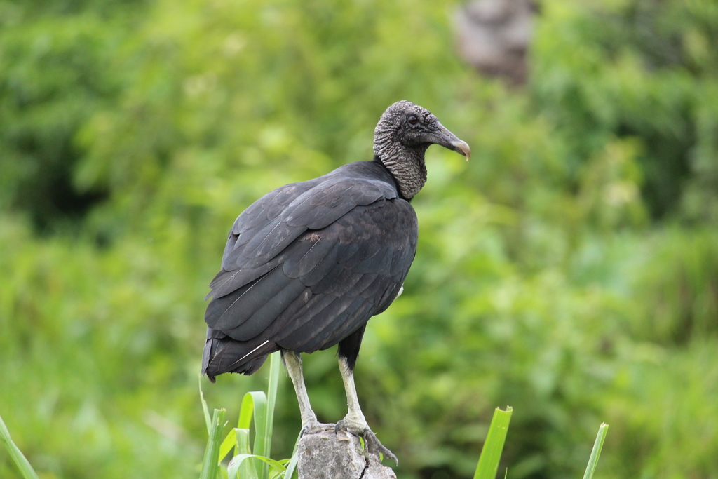
- Black VultureCoragyps atratus
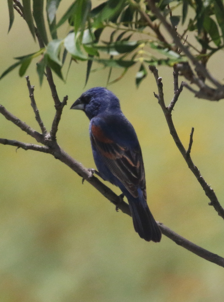
- Blue GrosbeakPasserina caerulea
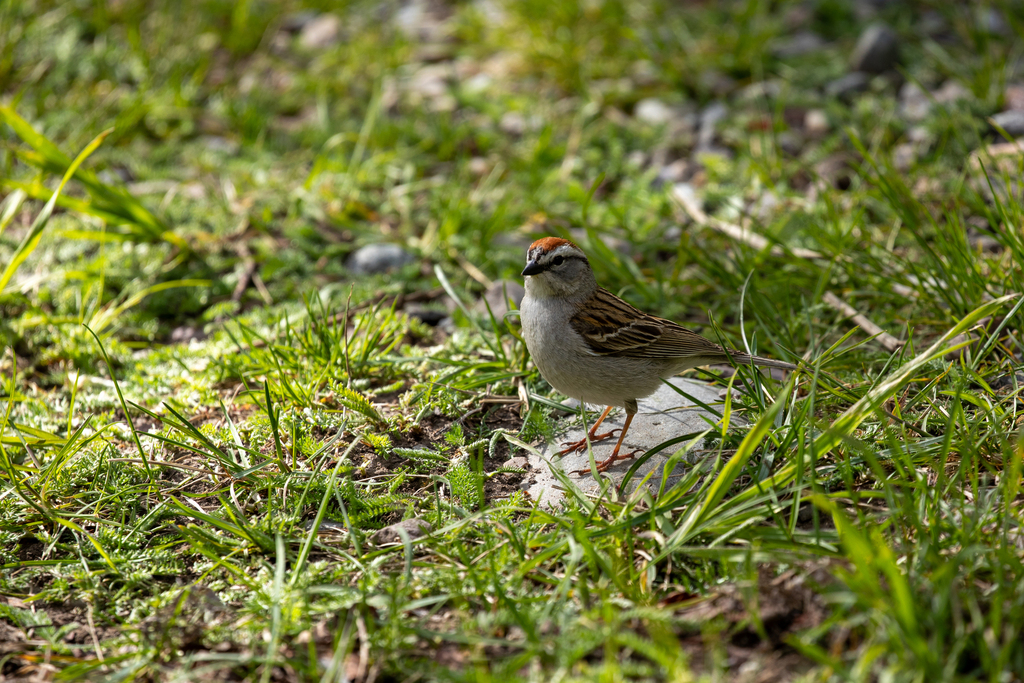
- Chipping SparrowSpizella passerina
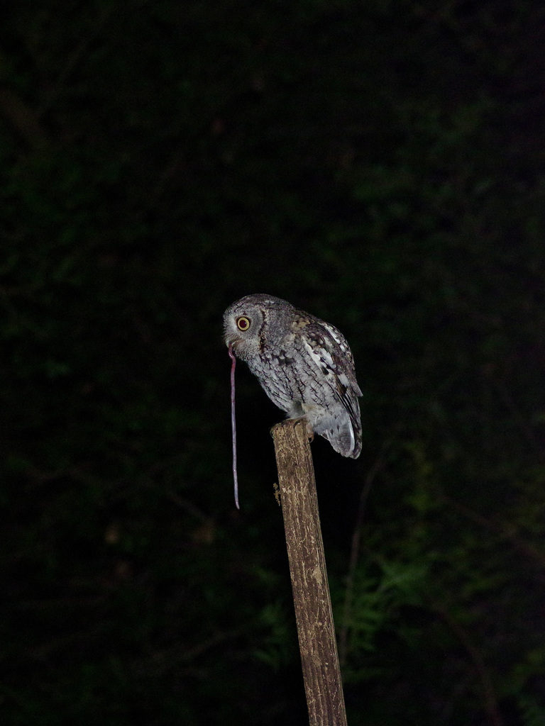
- Eastern Screech-owlMegascops asio
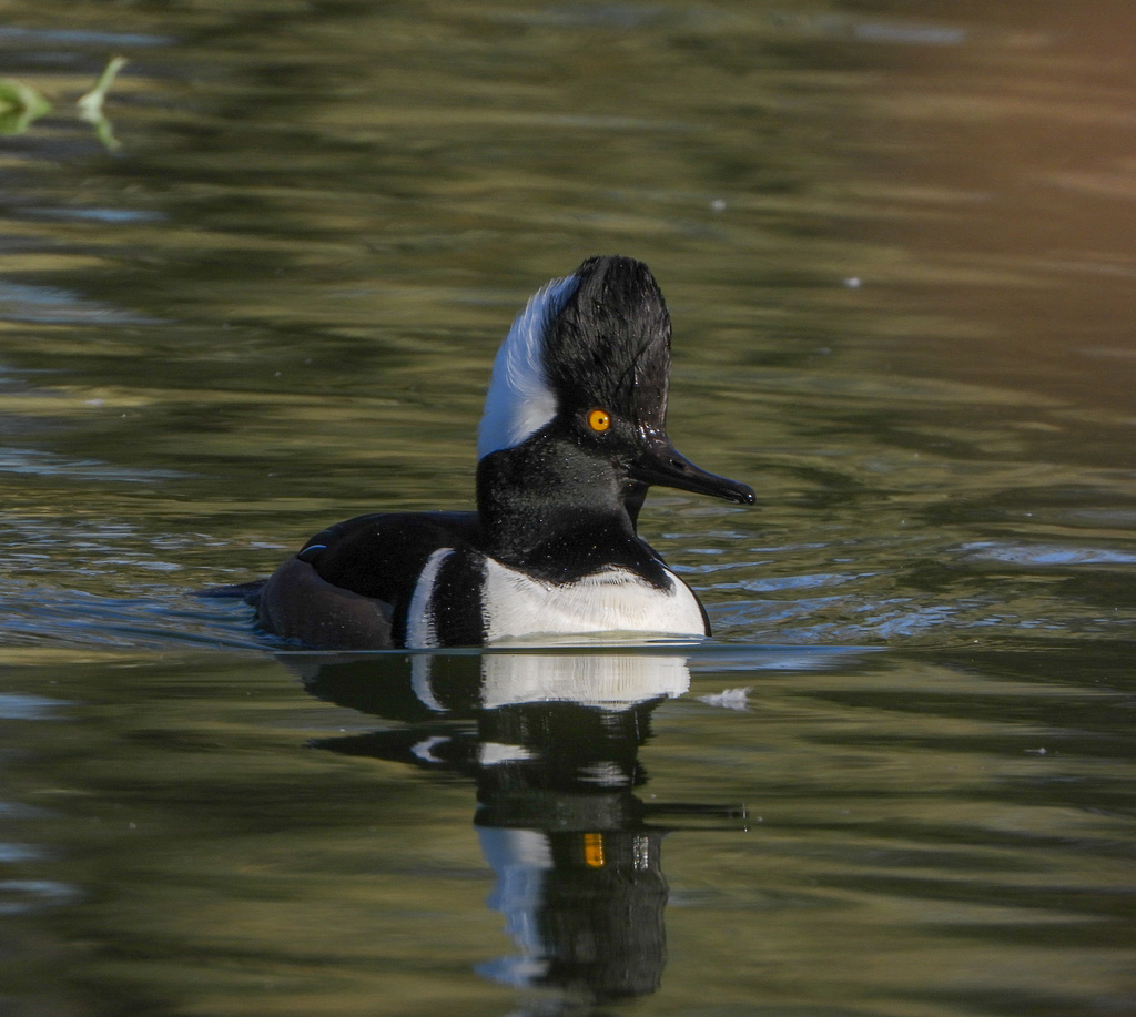
- Hooded MerganserLophodytes cucullatus
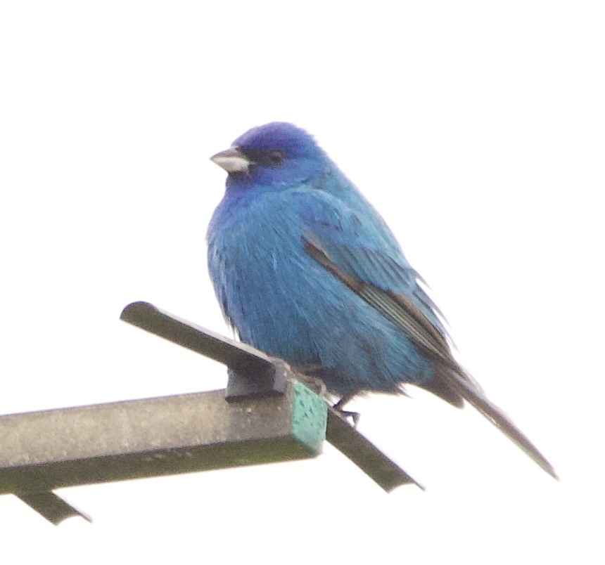
- Indigo BuntingPasserina cyanea
- Little Blue HeronEgretta caerulea
- Painted BuntingPasserina ciris
- Purple FinchCarpodacus purpureus
- Tufted TitmouseBaeolophus bicolor
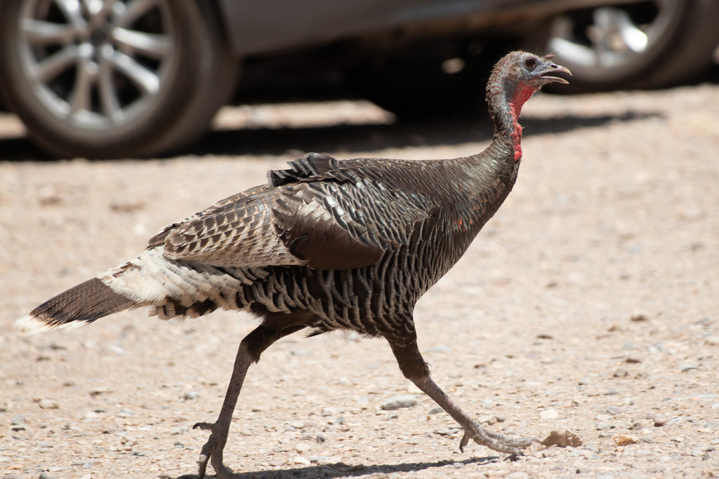
- Wild TurkeyMeleagris gallopavo
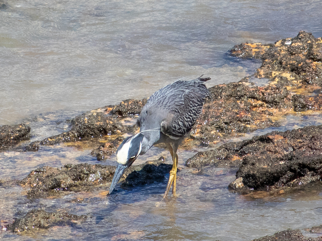
- Yellow-crowned Night-heronNyctanassa violacea
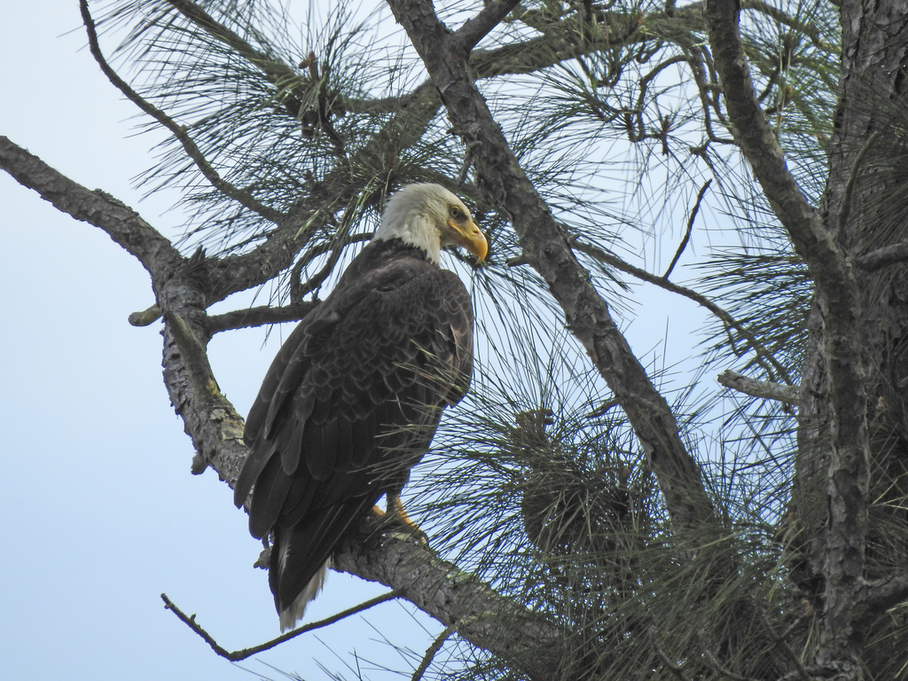
- Bald EagleHaliaeetus leucocephalus
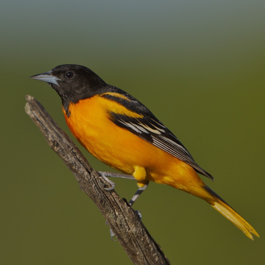
- Baltimore OrioleIcterus galbula
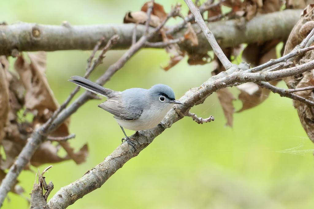
- Blue-gray GnatcatcherPolioptila caerulea
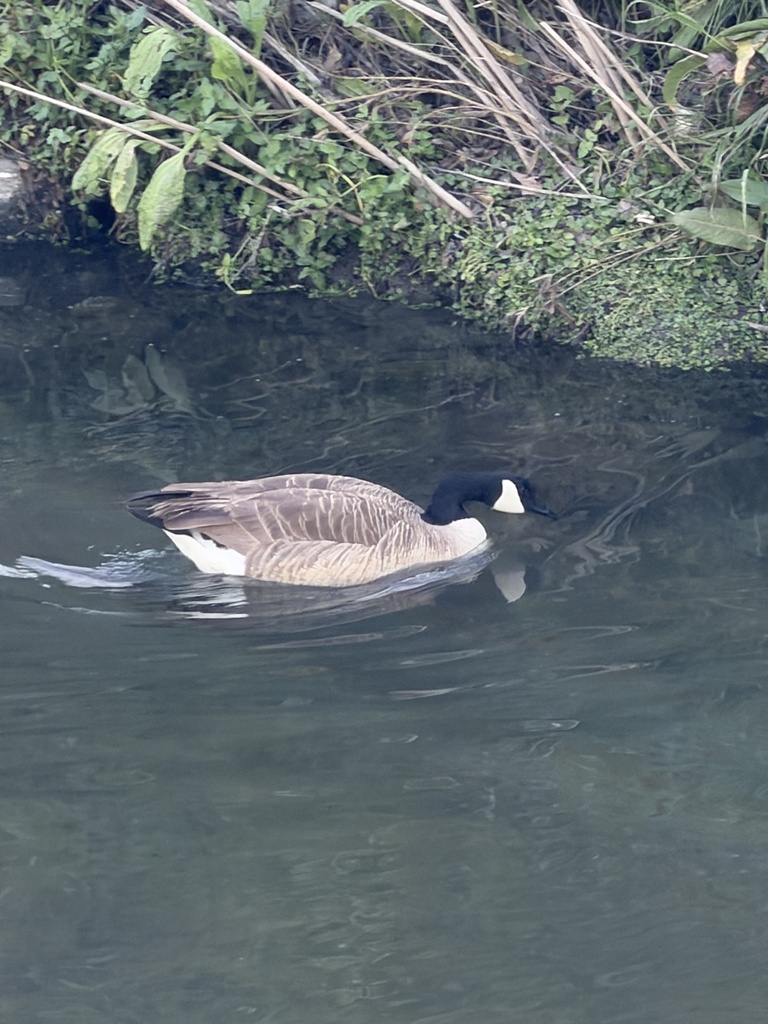
- Canada GooseBranta canadensis
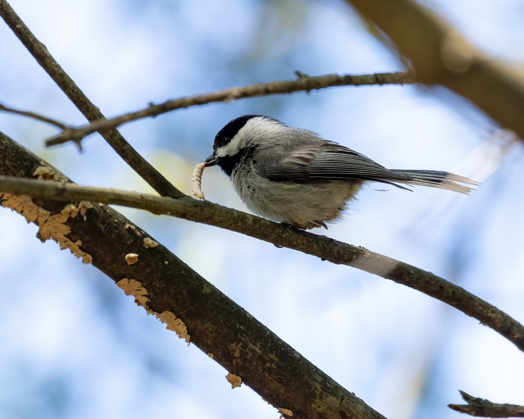
- Carolina ChickadeePoecile carolinensis
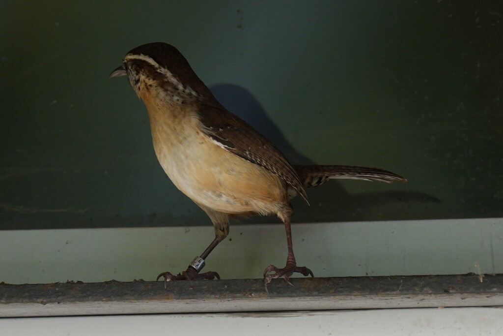
- Carolina WrenThryothorus ludovicianus
- Cedar WaxwingBombycilla cedrorum
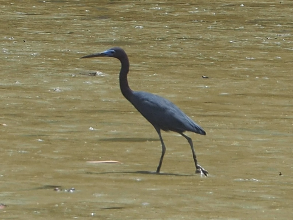
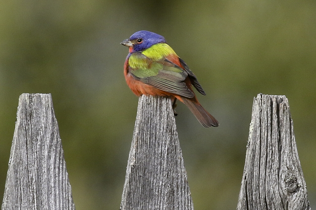
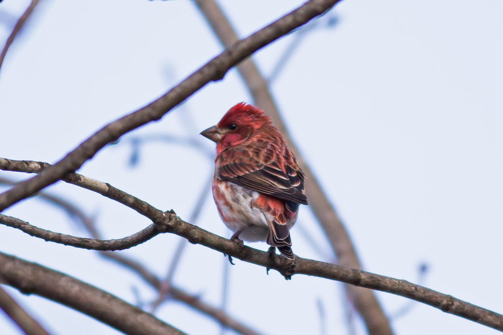
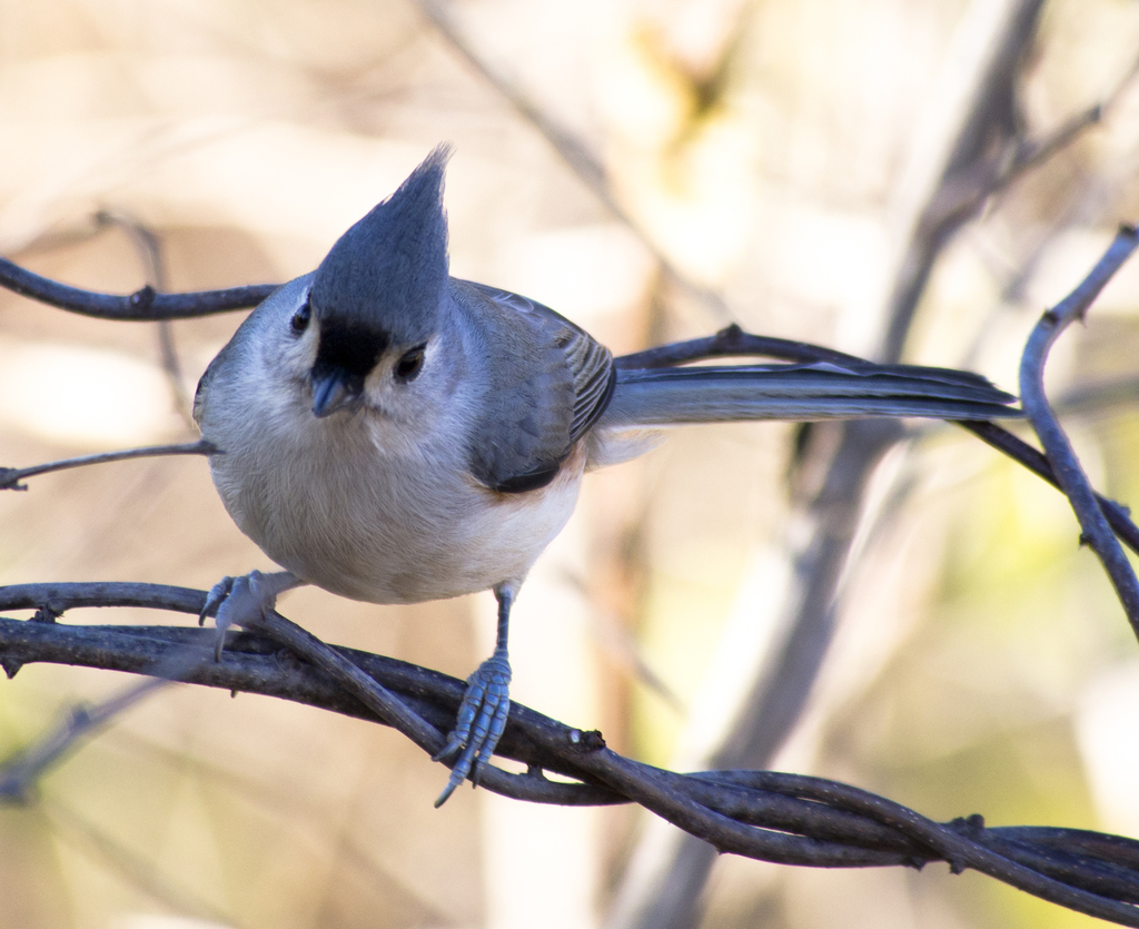
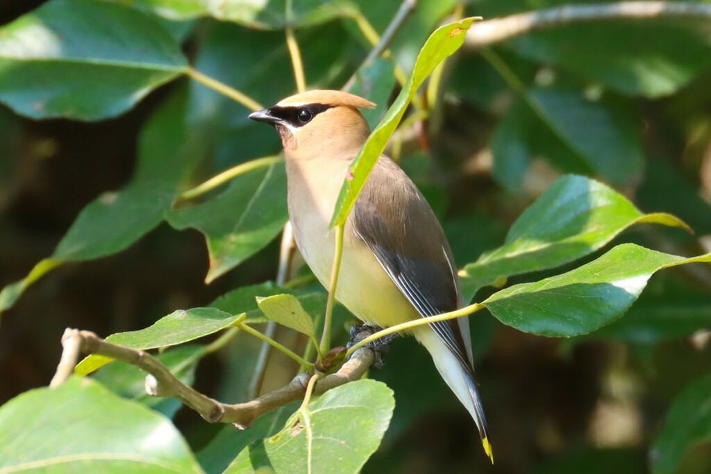
NatureServe Explorer, CC BY 4.0. USGS Gap Analysis Project habitat models.
Sources
- USGS Gap Analysis Project habitat models (2001)
- USGS GAP year-round habitat model for Fish Crow
- USGS Gap Analysis Project range maps (2001), modeled by watershed; migratory gives no dates
- NatureServe Explorer (CC BY 4.0), habitat names
- US Census TIGER/Line counties
- Names follow the USGS Gap Analysis Project (2001)