

Bird
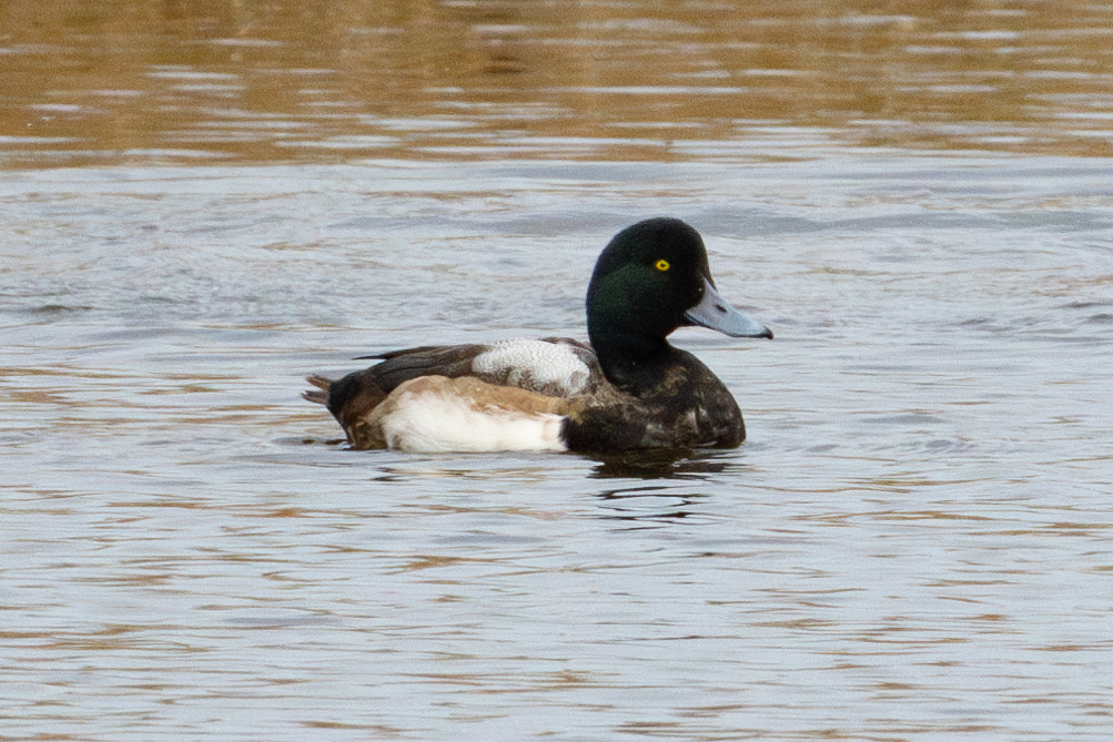
Bufflehead
Bucephala albeola
A winter visitor to Mississippi, found in all 82 counties and 2 habitats.
- Here
- Winter
- Nesting
- Not known to nest here
- Range
- All 82 counties
- Habitats
- 2
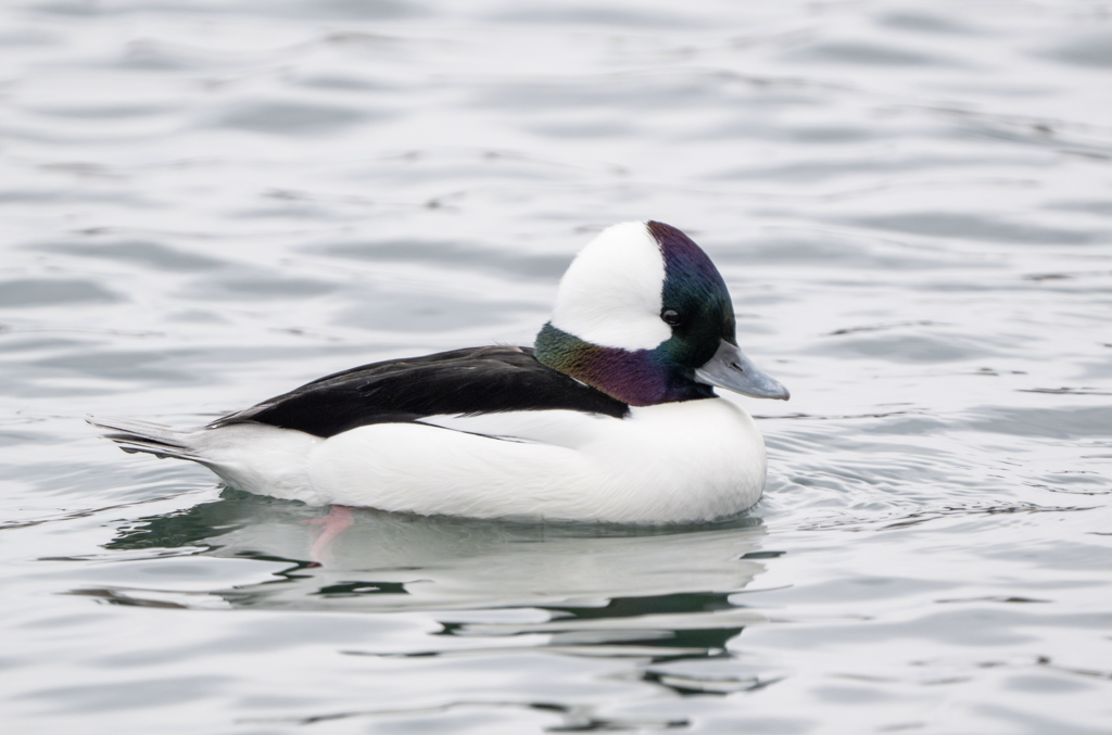
At a glance
- Group
- Birds
- Here
- Winter
- Nesting
- Not known to nest here
- Range
- All 82 counties
- Habitats
- 2
- Habitat models
- Winter
Where it lives
The places its habitat model includes. It is not found everywhere a habitat occurs.
Habitats in Mississippi 2
Each habitat page lists the plants and wildlife also found there.
1 of 2
Still water and its edges: ponds, lakes, millponds and reservoirs.
Salt and brackish open water of sounds, bays and estuaries, with the mud and sand flats and seagrass beds that tides cover and uncover; the vegetated marsh is salt and brackish marshes.
Seasons in Mississippi
- Winter: does not nest here, in all 82 counties.
Also found in this habitat
Wildlife 103
Other animals whose habitat models include the same habitats in Mississippi. Not sighting records.
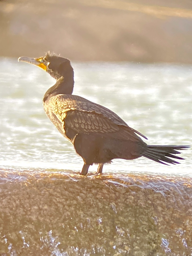
- Double-crested CormorantPhalacrocorax auritus
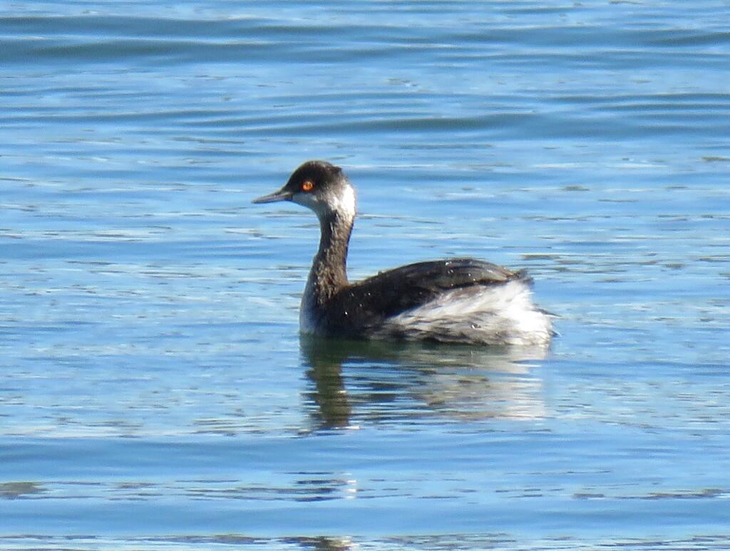
- Eared GrebePodiceps nigricollis
- Eastern KingbirdTyrannus tyrannus
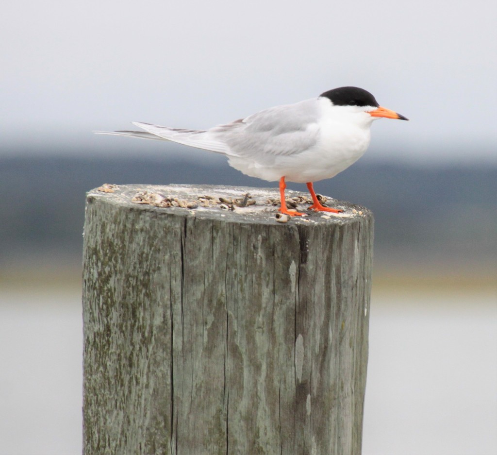
- Forster's TernSterna forsteri
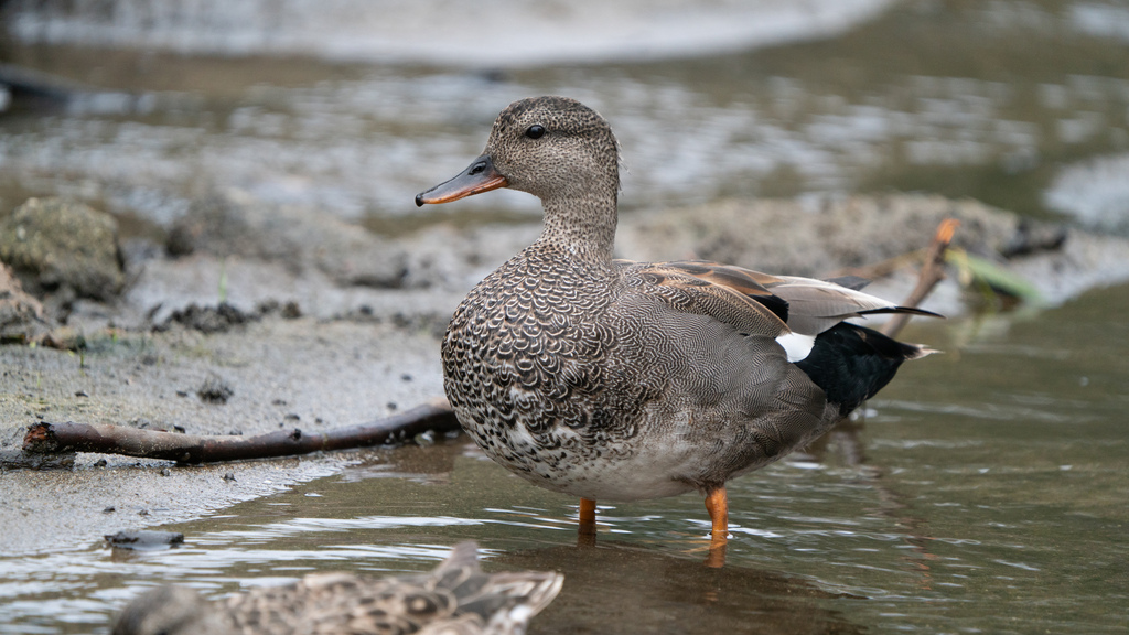
- GadwallAnas strepera
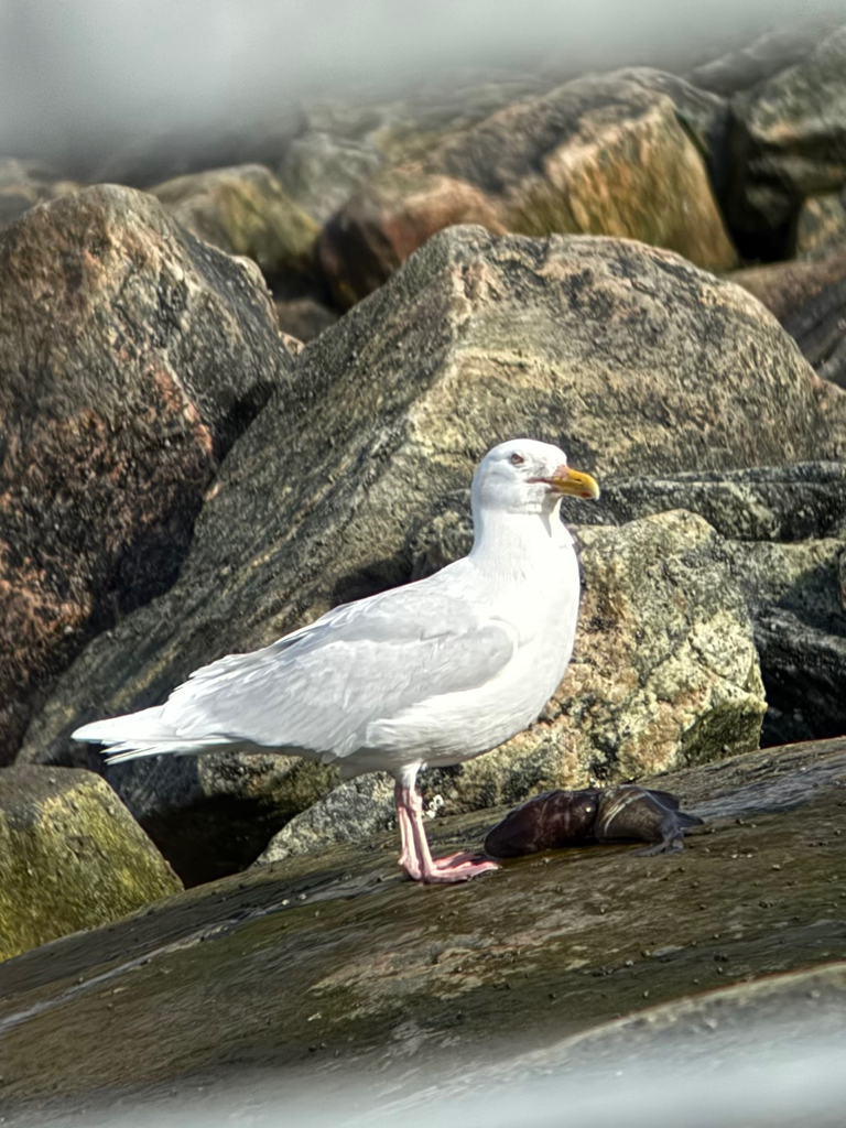
- Glaucous GullLarus hyperboreus
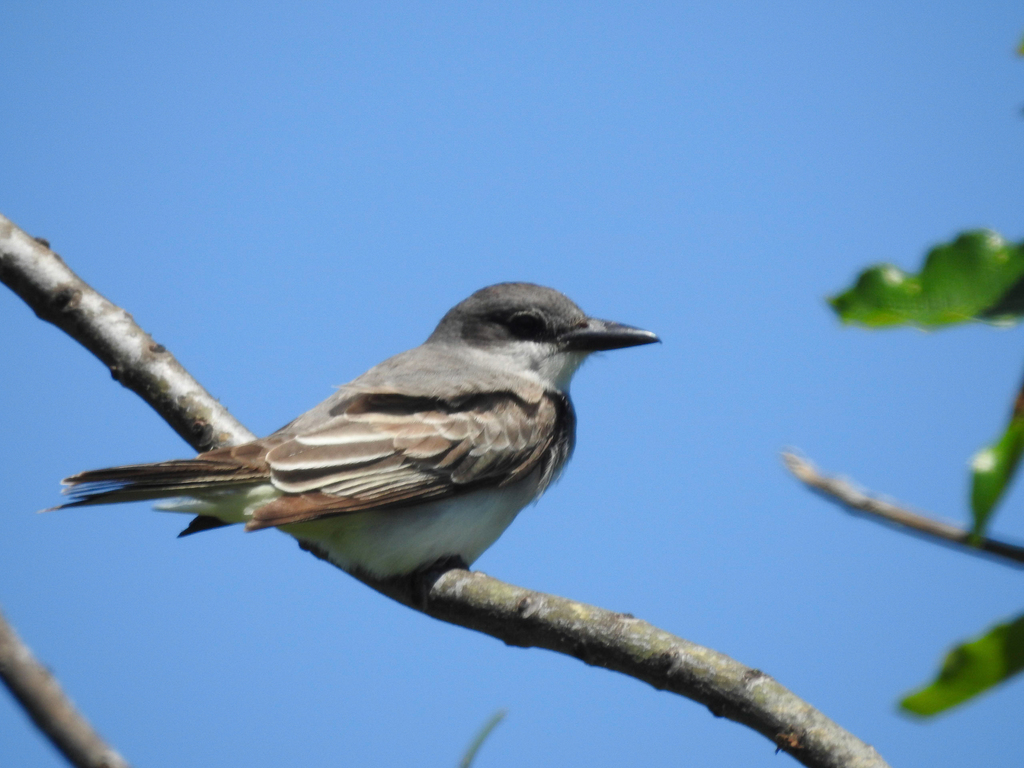
- Gray KingbirdTyrannus dominicensis
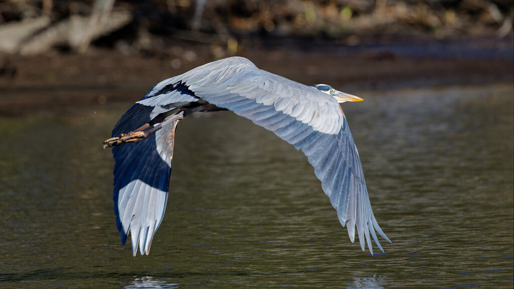
- Great Blue HeronArdea herodias
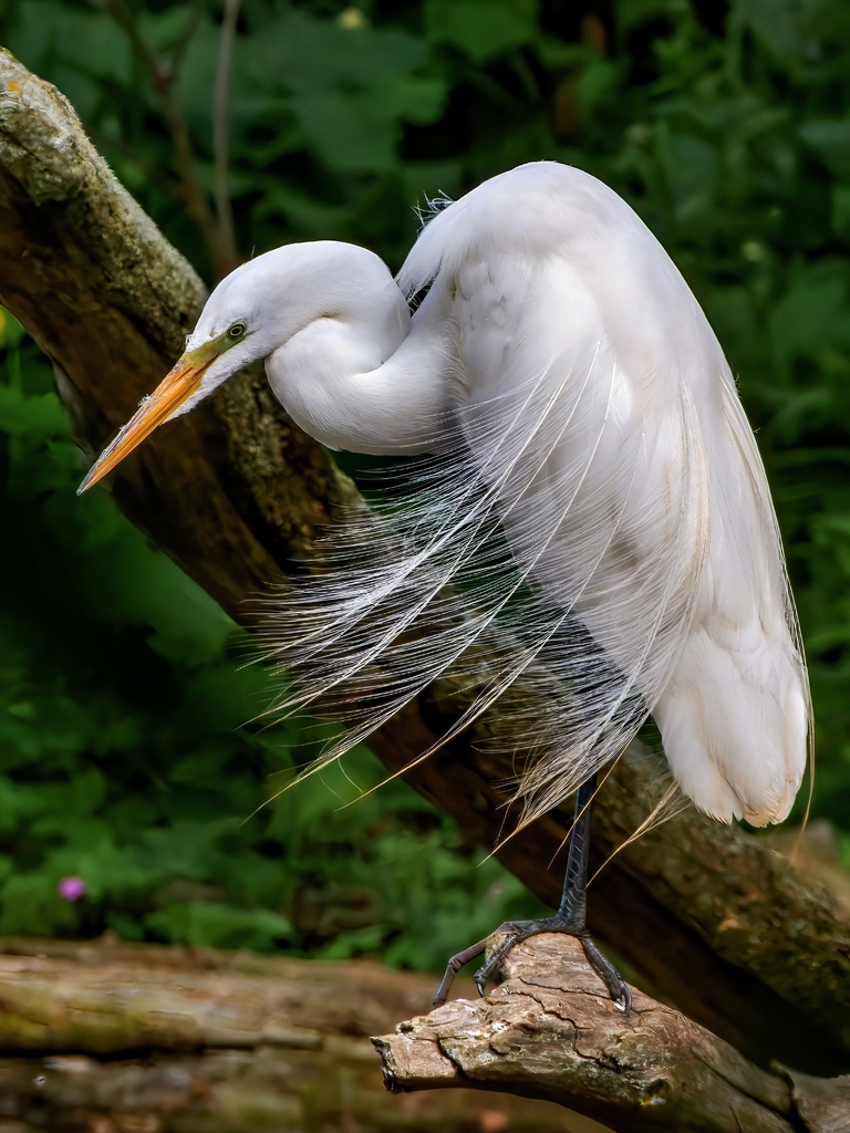
- Great EgretArdea alba
- Great Horned OwlBubo virginianus
- Greater ScaupAythya marila
- Greater YellowlegsTringa melanoleuca
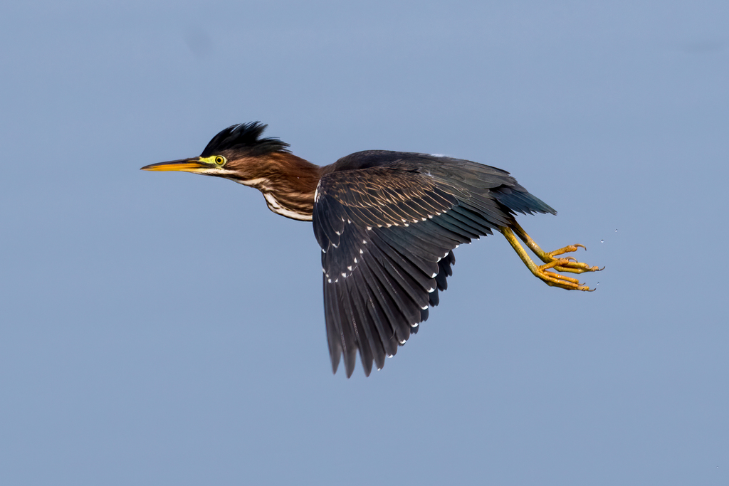
- Green HeronButorides virescens
- Hooded MerganserLophodytes cucullatus
- Horned GrebePodiceps auritus
- Interior Least TernSternula antillarum athalassos
- Least BitternIxobrychus exilis
- Least SandpiperCalidris minutilla
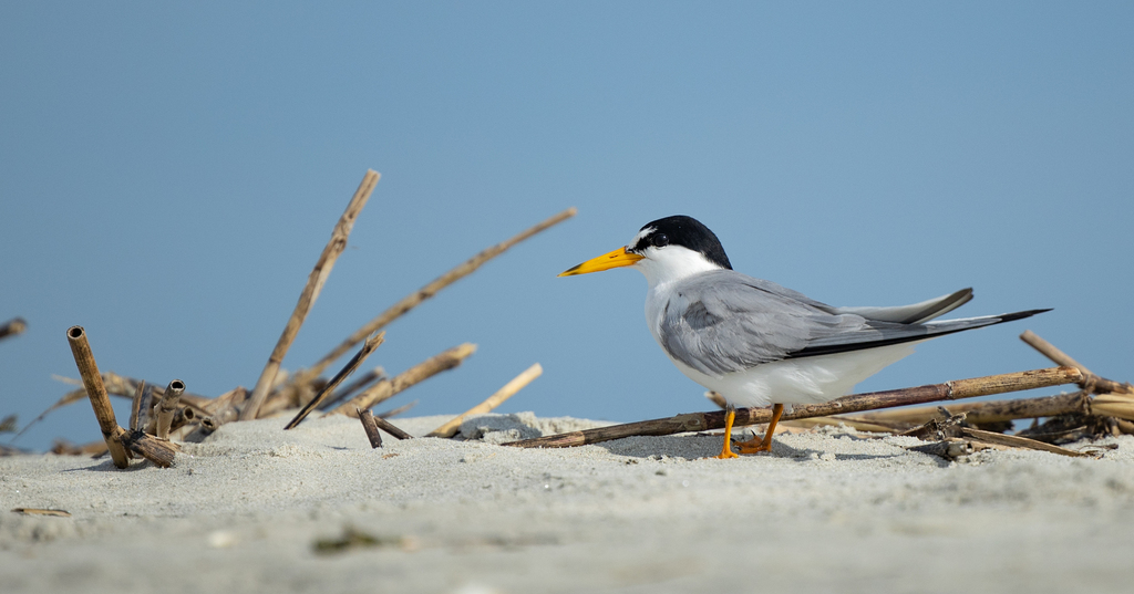
- Least TernSternula antillarum
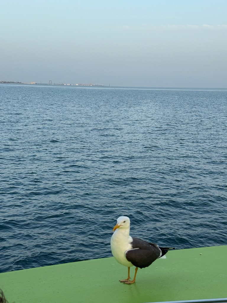
- Lesser Black-backed GullLarus fuscus
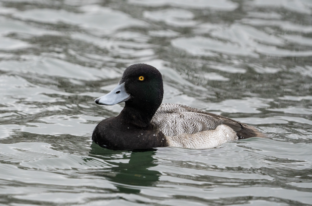
- Lesser ScaupAythya affinis
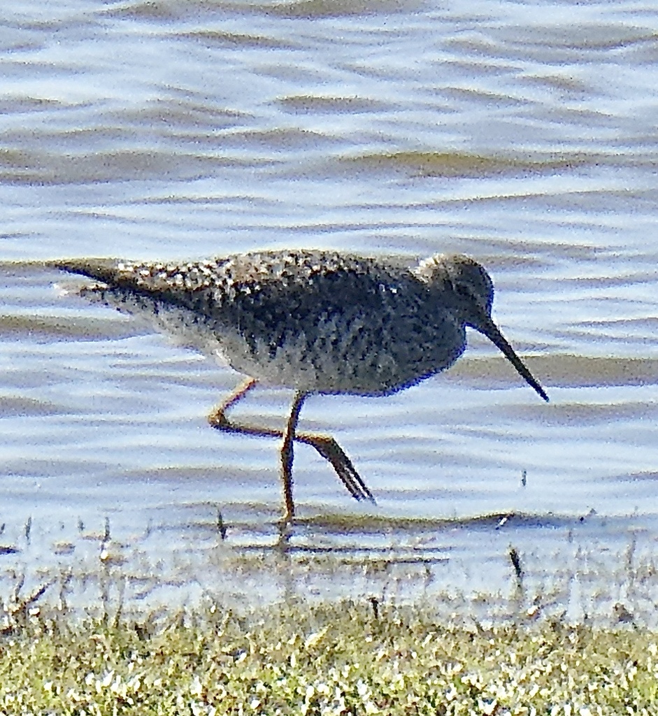
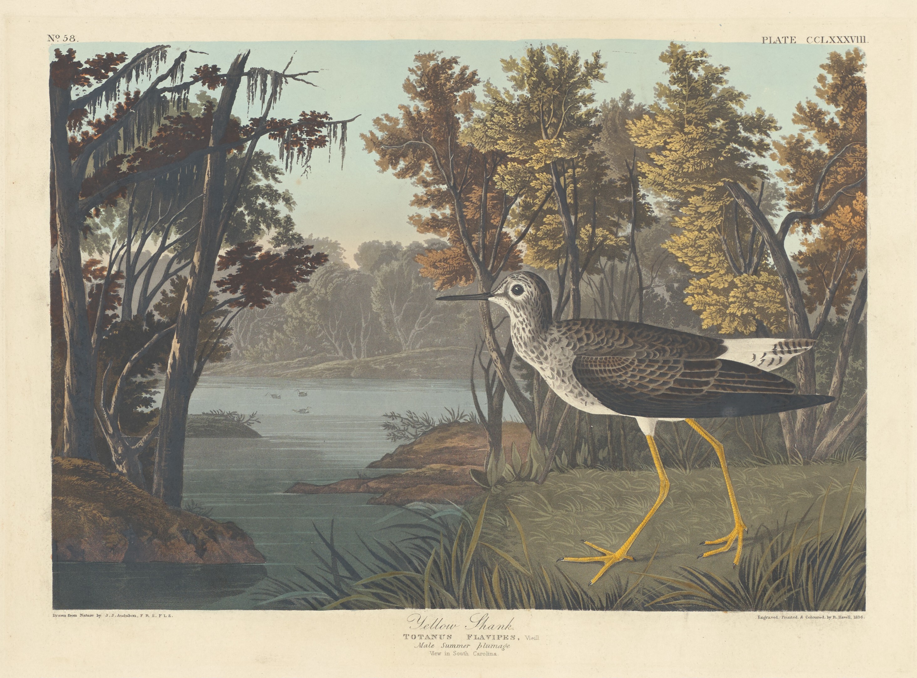
- Lesser YellowlegsTringa flavipes
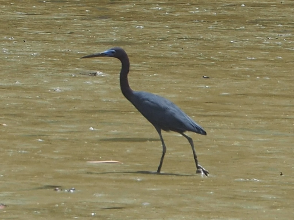
- Little Blue HeronEgretta caerulea
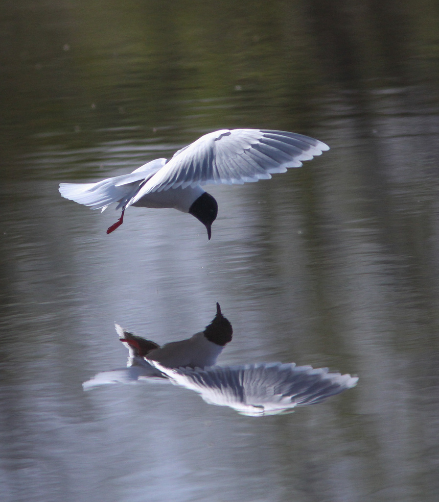
- Little GullHydrocoloeus minutus


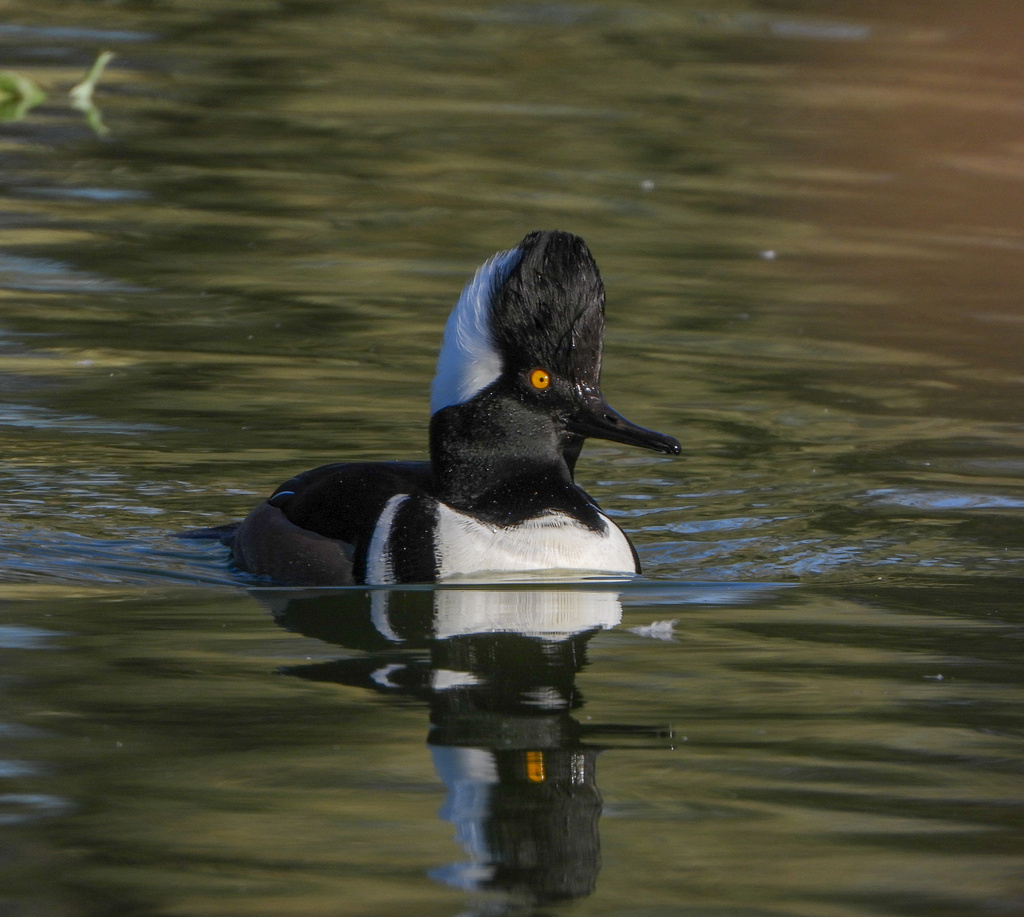
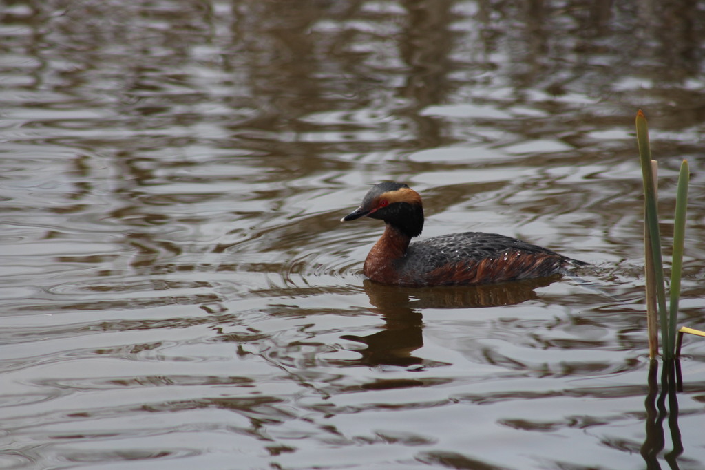
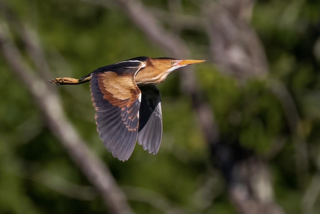
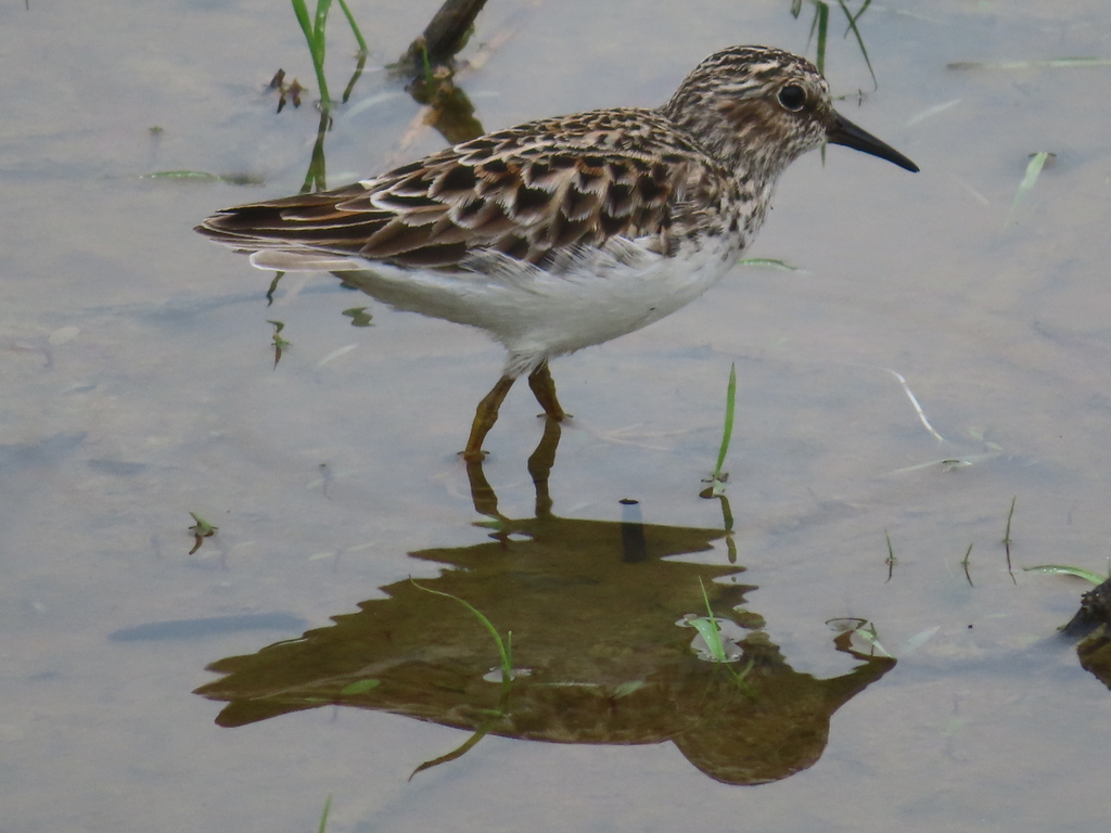
NatureServe Explorer, CC BY 4.0. USGS Gap Analysis Project habitat models.
Sources
- USGS Gap Analysis Project habitat models (2001)
- USGS GAP winter habitat model for Bufflehead Slow streams only
- USGS Gap Analysis Project range maps (2001), modeled by watershed; migratory gives no dates
- NatureServe Explorer (CC BY 4.0), habitat names
- US Census TIGER/Line counties
- Names follow the USGS Gap Analysis Project (2001)