

Bird
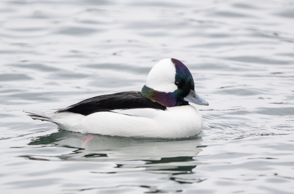
Bufflehead
Bucephala albeola
A winter visitor to Mississippi, found in all 82 counties and 2 habitats.
- Here
- Winter
- Nesting
- Not known to nest here
- Range
- All 82 counties
- Habitats
- 2
At a glance
- Group
- Birds
- Here
- Winter
- Nesting
- Not known to nest here
- Range
- All 82 counties
- Habitats
- 2
- Habitat models
- Winter
Where it lives
The places its habitat model includes. It is not found everywhere a habitat occurs.
Habitats in Mississippi 2
Each habitat page lists the plants and wildlife also found there.
1 of 2
Still water and its edges: ponds, lakes, millponds and reservoirs.
Salt and brackish open water of sounds, bays and estuaries, with the mud and sand flats and seagrass beds that tides cover and uncover; the vegetated marsh is salt and brackish marshes.
Seasons in Mississippi
- Winter: does not nest here, in all 82 counties.
Also found in this habitat
Wildlife 103
Other animals whose habitat models include the same habitats in Mississippi. Not sighting records.
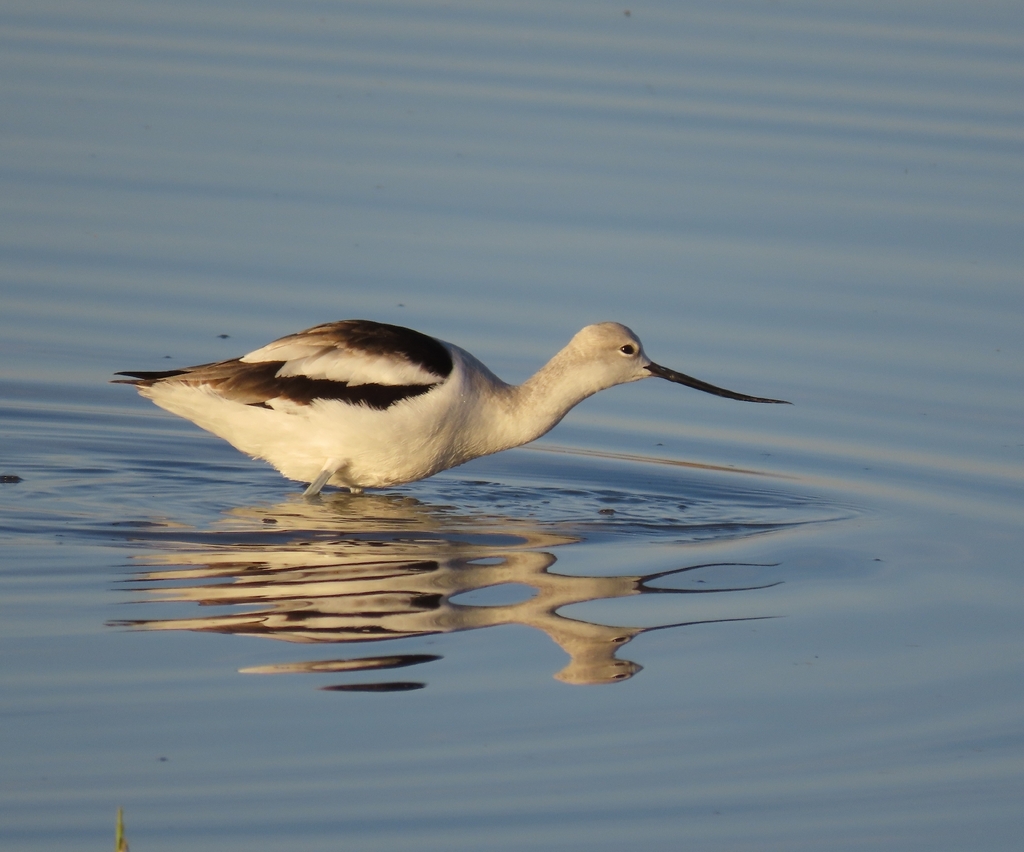
- American AvocetRecurvirostra americana
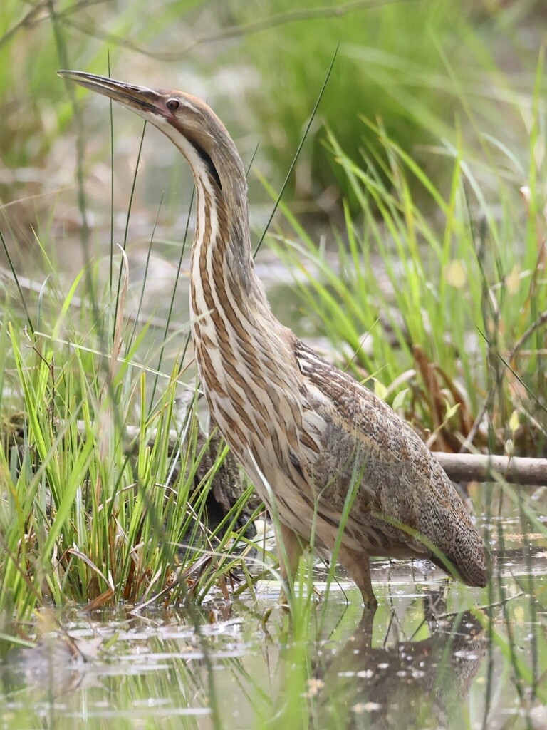
- American BitternBotaurus lentiginosus
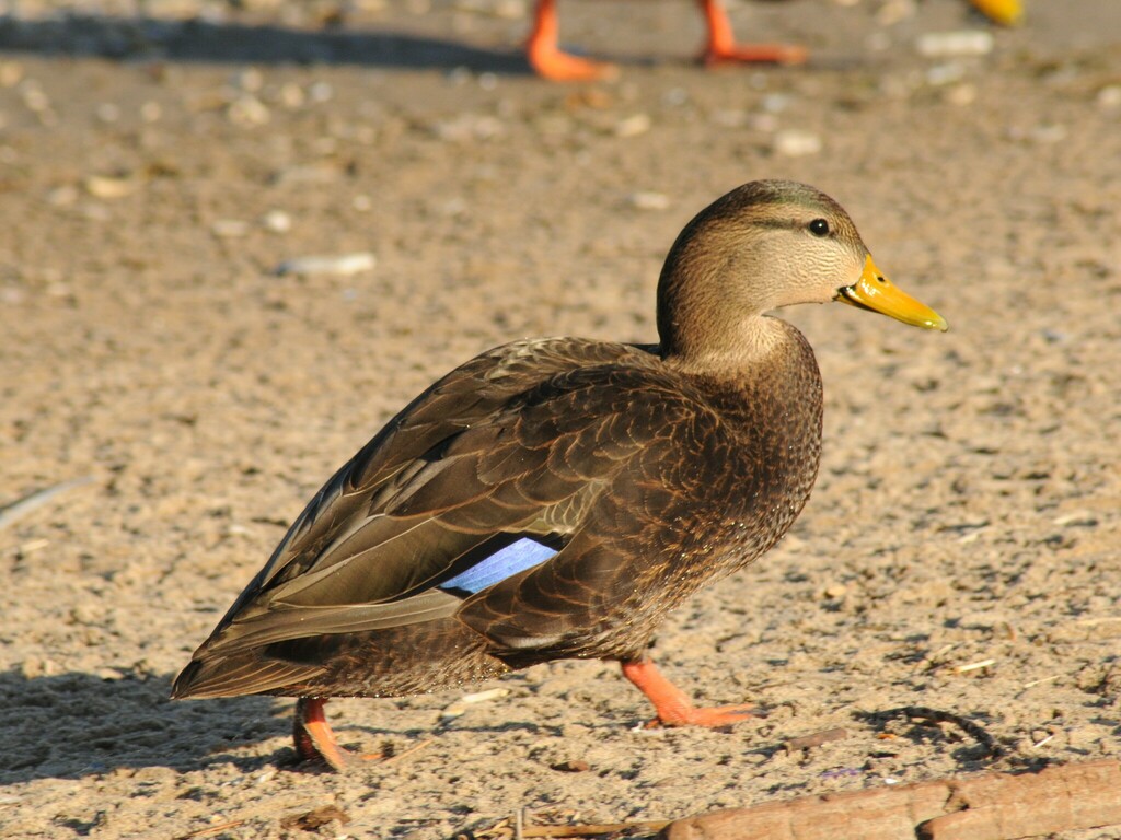
- American Black DuckAnas rubripes
- American CootFulica americana
- American PipitAnthus rubescens
- American White PelicanPelecanus erythrorhynchos
- American WigeonAnas americana
- Bald EagleHaliaeetus leucocephalus
- Bank SwallowRiparia riparia
- Barn SwallowHirundo rustica
- Belted KingfisherMegaceryle alcyon
- Black SkimmerRynchops niger
- Black-crowned Night-heronNycticorax nycticorax
- Black-necked StiltHimantopus mexicanus
- Blue-winged TealAnas discors
- Boat-tailed GrackleQuiscalus major
- Bonaparte's GullChroicocephalus philadelphia
- Canada GooseBranta canadensis
- CanvasbackAythya valisineria
- Caspian TernHydroprogne caspia
- Common GoldeneyeBucephala clangula
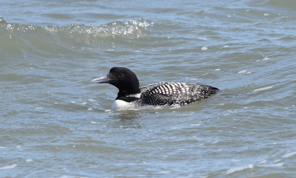
- Common LoonGavia immer
- Common NighthawkChordeiles minor
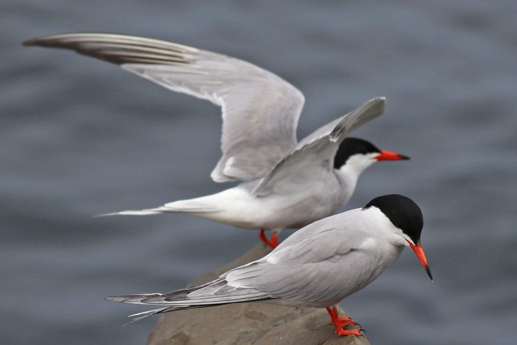
- Common TernSterna hirundo
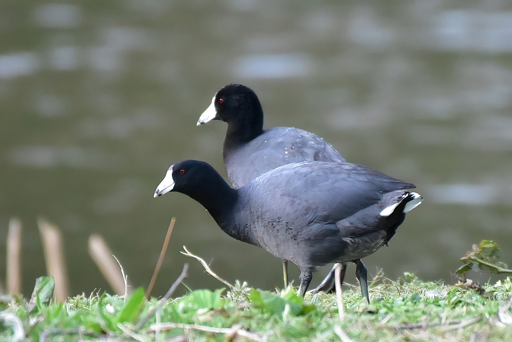
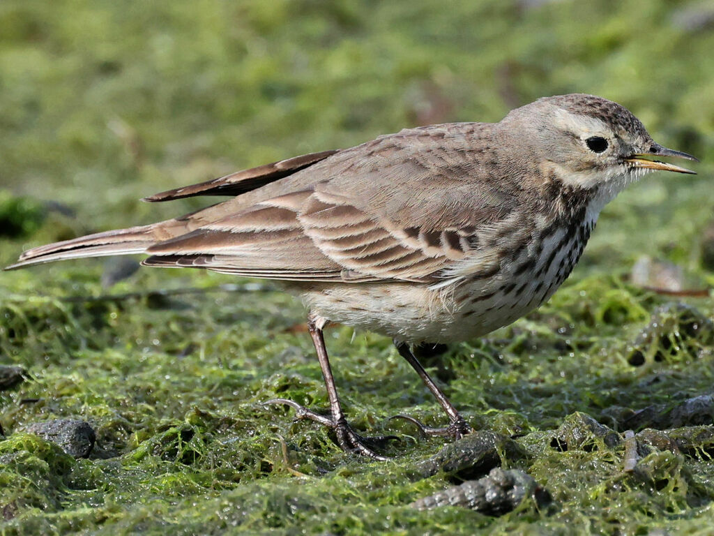
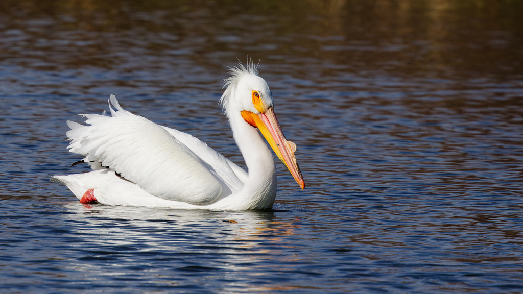
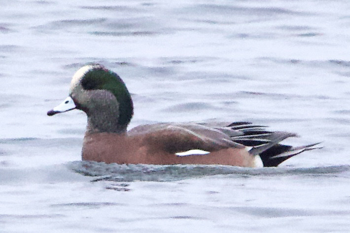
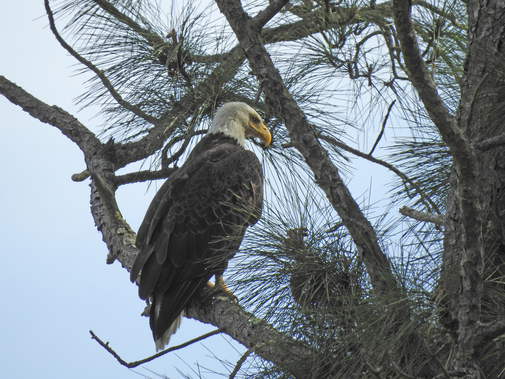

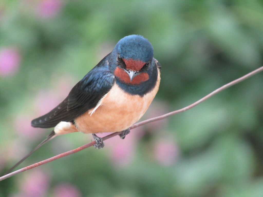
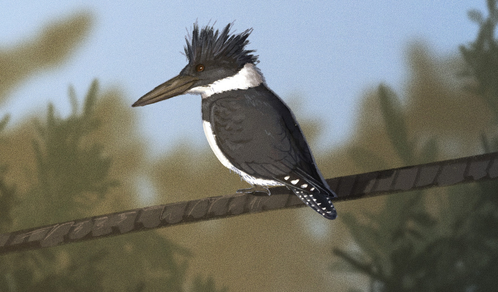
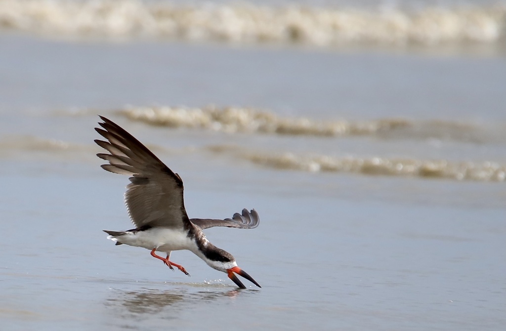

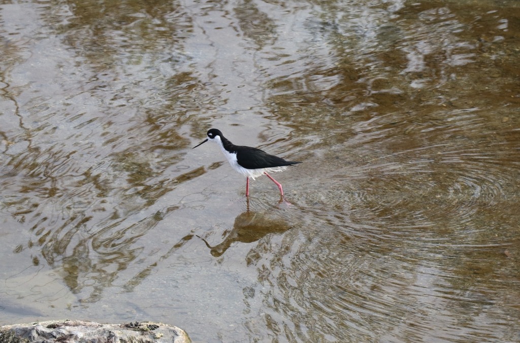
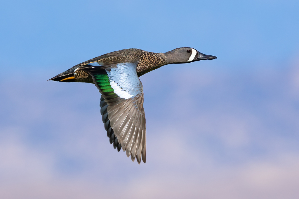
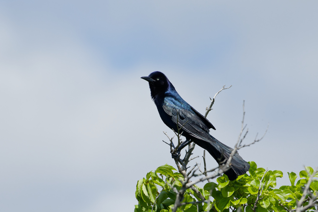
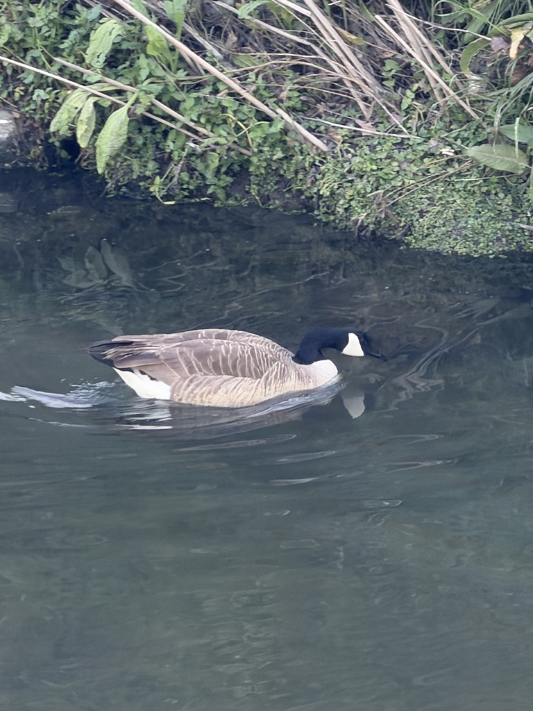
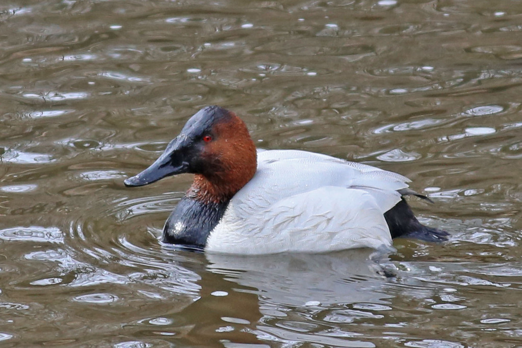
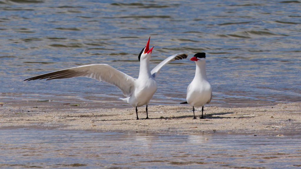
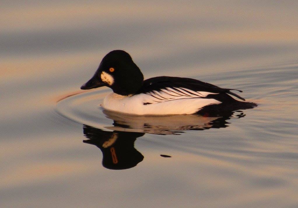

NatureServe Explorer, CC BY 4.0. USGS Gap Analysis Project habitat models.
Sources
- USGS Gap Analysis Project habitat models (2001)
- USGS GAP winter habitat model for Bufflehead Slow streams only
- USGS Gap Analysis Project range maps (2001), modeled by watershed; migratory gives no dates
- NatureServe Explorer (CC BY 4.0), habitat names
- US Census TIGER/Line counties
- Names follow the USGS Gap Analysis Project (2001)