

Bird
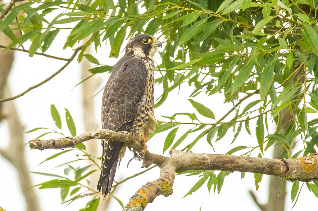
Peregrine Falcon
Falco peregrinus
A winter visitor to Louisiana, found in 39 of 64 parishes and 6 habitats.
- Here
- Winter
- Nesting
- Not known to nest here
- Range
- 39 of 64 parishes
- Habitats
- 6
At a glance
- Group
- Birds
- Here
- Winter
- Nesting
- Not known to nest here
- Range
- 39 of 64 parishes
- Habitats
- 6
- Habitat models
- Summer, Winter
Where it lives
The places its habitat model includes. It is not found everywhere a habitat occurs.
Habitats in Louisiana 6
Each habitat page lists the plants and wildlife also found there.
Open sand of beaches, dunes and the hollows between them.
Coastal tidal marshes (salinity not stated)
Tidal marshes of the Atlantic and Gulf coasts where the source does not say whether the water is fresh, brackish or salt. A stated salinity files the marsh under freshwater tidal marshes or salt and brackish marshes instead.
Disturbed and introduced wetlands
Wet ground taken over by weedy or introduced plants after disturbance, such as common reed, Chinese tallow or tamarisk stands; the upland counterpart is roadsides, fields and disturbed ground.
Open, grass-dominated places kept open by fire, grazing or thin soil, from tallgrass prairie to Piedmont prairies.
Roadsides, fields and disturbed ground
Ground opened by people: roadsides, old fields, pastures, fencerows and lots.
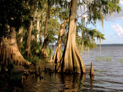
Forested wetlands with standing water much of the year, such as cypress and gum swamps.
Other habitats in its models (76)
Land cover, or classes with no habitat page in Louisiana.
- Developed, Low Intensity Summer.
- Developed, Medium Intensity Summer and winter.
- Developed, High Intensity Summer and winter.
- Barren Land Summer.
- Atlantic Coastal Plain Northern Sandy Beach Summer.
- Unconsolidated Shore (Lake/River/Pond) Summer and winter.
- Unconsolidated Shore Summer and winter.
- Central Interior Calcareous Cliff and Talus Summer.
- Central Interior Acidic Cliff and Talus Summer.
- North-Central Appalachian Circumneutral Cliff and Talus Summer.
- North-Central Appalachian Acidic Cliff and Talus Summer.
- Southern Piedmont Cliff Summer.
- Southern Interior Acid Cliff Summer.
- Southern Appalachian Montane Cliff Summer.
- Southern Interior Calcareous Cliff Summer.
- East Gulf Coastal Plain Dry Chalk Bluff Summer.
- Southern Appalachian Rocky Summit Summer.
- Southern Appalachian Granitic Dome Summer.
- Southern Piedmont Granite Flatrock Summer.
- East Gulf Coastal Plain Black Belt Calcareous Prairie and Woodland - Herbaceous Modifier Summer and winter.
- East Gulf Coastal Plain Black Belt Calcareous Prairie and Woodland - Woodland Modifier Summer.
- Southern Appalachian Grass and Shrub Bald - Shrub Modifier Summer and winter.
- Southern Appalachian Grass and Shrub Bald - Herbaceous Modifier Summer.
- Eastern Highland Rim Prairie and Barrens - Dry Modifier Summer.
- Central Mixedgrass Prairie Winter.
- Central Tallgrass Prairie Winter.
- Florida Dry Prairie Winter.
- West Gulf Coastal Plain Northern Calcareous Prairie Summer and winter.
- East Gulf Coastal Plain Jackson Prairie and Woodland Summer and winter.
- Atlantic Coastal Plain Southern Dune and Maritime Grassland Summer and winter.
- Southwest Florida Dune and Coastal Grassland Winter.
- East Gulf Coastal Plain Dune and Coastal Grassland Winter.
- Central and Upper Texas Coast Dune and Coastal Grassland Winter.
- Southern Appalachian Grass and Shrub Bald Summer.
- Harvested Forest - Grass/Forb Regeneration Summer and winter.
- Recently Burned Summer.
- Recently Burned Grassland Summer.
- Introduced Upland Vegetation - Forbland Summer and winter.
- Introduced Upland Vegetation - Annual Grassland Winter.
- Introduced Upland Vegetation - Perennial Grassland Summer and winter.
- Introduced Upland Vegetation - Perennial Grassland and Forbland Summer and winter.
- Modified/Managed Southern Tall Grassland Winter.
- Atlantic Coastal Plain Central Salt and Brackish Tidal Marsh Summer and winter.
- Atlantic Coastal Plain Indian River Lagoon Tidal Marsh Winter.
- Atlantic Coastal Plain Embayed Region Tidal Salt and Brackish Marsh Summer and winter.
- Mississippi Sound Salt and Brackish Tidal Marsh Winter.
- Atlantic Coastal Plain Northern Tidal Salt Marsh Summer and winter.
- Florida Big Bend Salt-Brackish Tidal Marsh Winter.
- Atlantic Coastal Plain Clay-Based Carolina Bay Herbaceous Wetland Summer and winter.
- Atlantic Coastal Plain Streamhead Seepage Swamp - Pocosin - and Baygall Summer.
- Central Interior and Appalachian Swamp Systems Summer.
- Atlantic Coastal Plain Large Natural Lakeshore Summer and winter.
- Atlantic Coastal Plain Southern Tidal Wooded Swamp Winter.
- South Florida Everglades Sawgrass Marsh Winter.
- Floridian Highlands Freshwater Marsh Winter.
- Atlantic Coastal Plain Embayed Region Tidal Freshwater Marsh Summer and winter.
- Central Florida Herbaceous Seep Winter.
- Florida Big Bend Fresh-Oligohaline Tidal Marsh Winter.
- Atlantic Coastal Plain Northern Fresh and Oligohaline Tidal Marsh Summer and winter.
- Atlantic Coastal Plain Northern Tidal Wooded Swamp Summer.
- South Florida Mangrove Swamp Winter.
- Northern Atlantic Coastal Plain Basin Swamp and Wet Hardwood Forest Summer.
- Atlantic Coastal Plain Central Fresh-Oligohaline Tidal Marsh Summer and winter.
- Atlantic Coastal Plain Clay-Based Carolina Bay Forested Wetland Summer.
- Southern and Central Appalachian Bog and Fen Summer.
- South Florida Wet Marl Prairie Winter.
- East Gulf Coastal Plain Savanna and Wet Prairie Winter.
- Texas Saline Coastal Prairie Winter.
- Eastern Great Plains Wet Meadow, Prairie, and Marsh Winter.
- Great Plains Prairie Pothole Summer.
- Central Florida Herbaceous Pondshore Winter.
- East Gulf Coastal Plain Southern Depression Pondshore Winter.
- Atlantic Coastal Plain Depression Pondshore Summer and winter.
- South Florida Freshwater Slough and Gator Hole Winter.
- East Gulf Coastal Plain Large River Floodplain Forest - Herbaceous Modifier Winter.
- Texas-Louisiana Coastal Prairie Slough Winter.
Seasons in Louisiana
- Winter: does not nest here, in 39 of 64 parishes.
Also found in this habitat
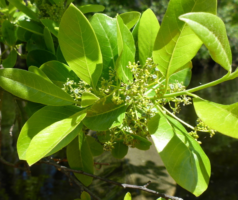
Plants 289
Plants named in NatureServe descriptions of these habitats that grow in Louisiana. Shared habitat, not food.
- Swamp TupeloNyssa biflora
- Bald CypressTaxodium distichum
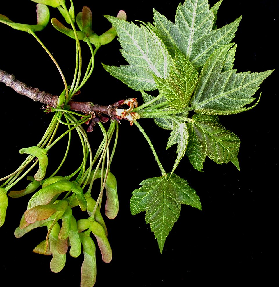
- Red MapleAcer rubrum
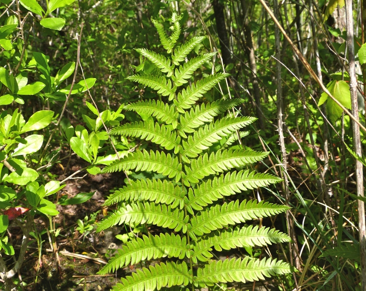
- Virginia Chain-fernAnchistea virginica
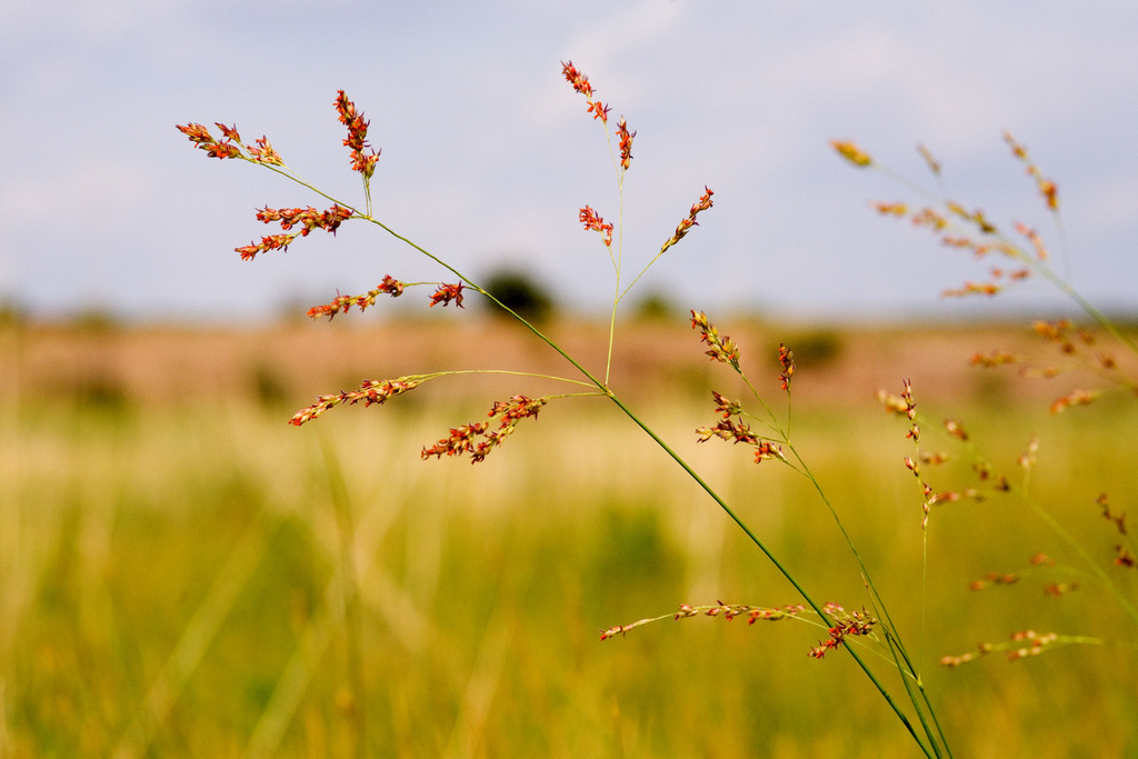
- Bushy BluestemAndropogon glomeratus
- TitiCyrilla racemiflora
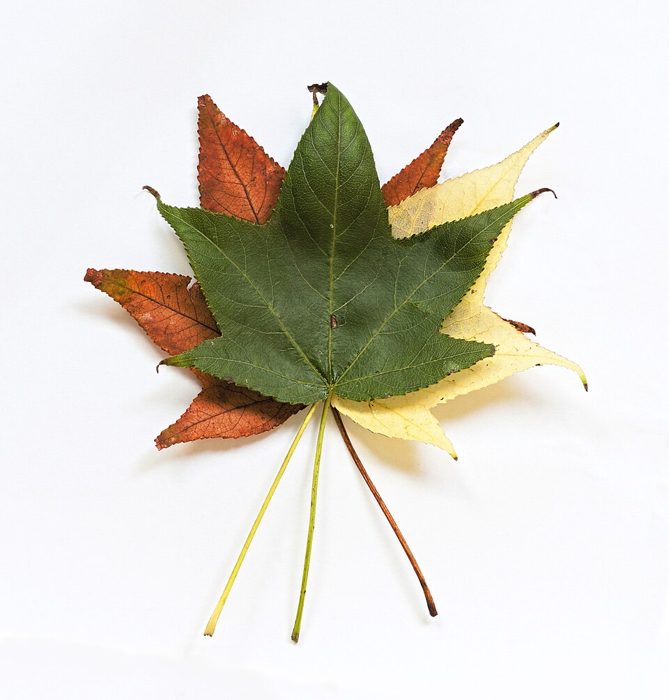
- SweetgumLiquidambar styraciflua
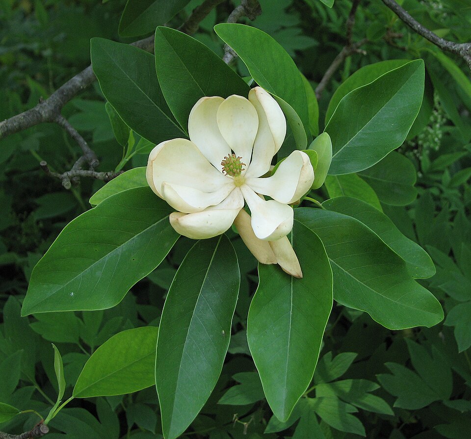
- Sweetbay MagnoliaMagnolia virginiana
- Common WaxmyrtleMorella cerifera
- SwitchgrassPanicum virgatum
- Laurel OakQuercus laurifolia
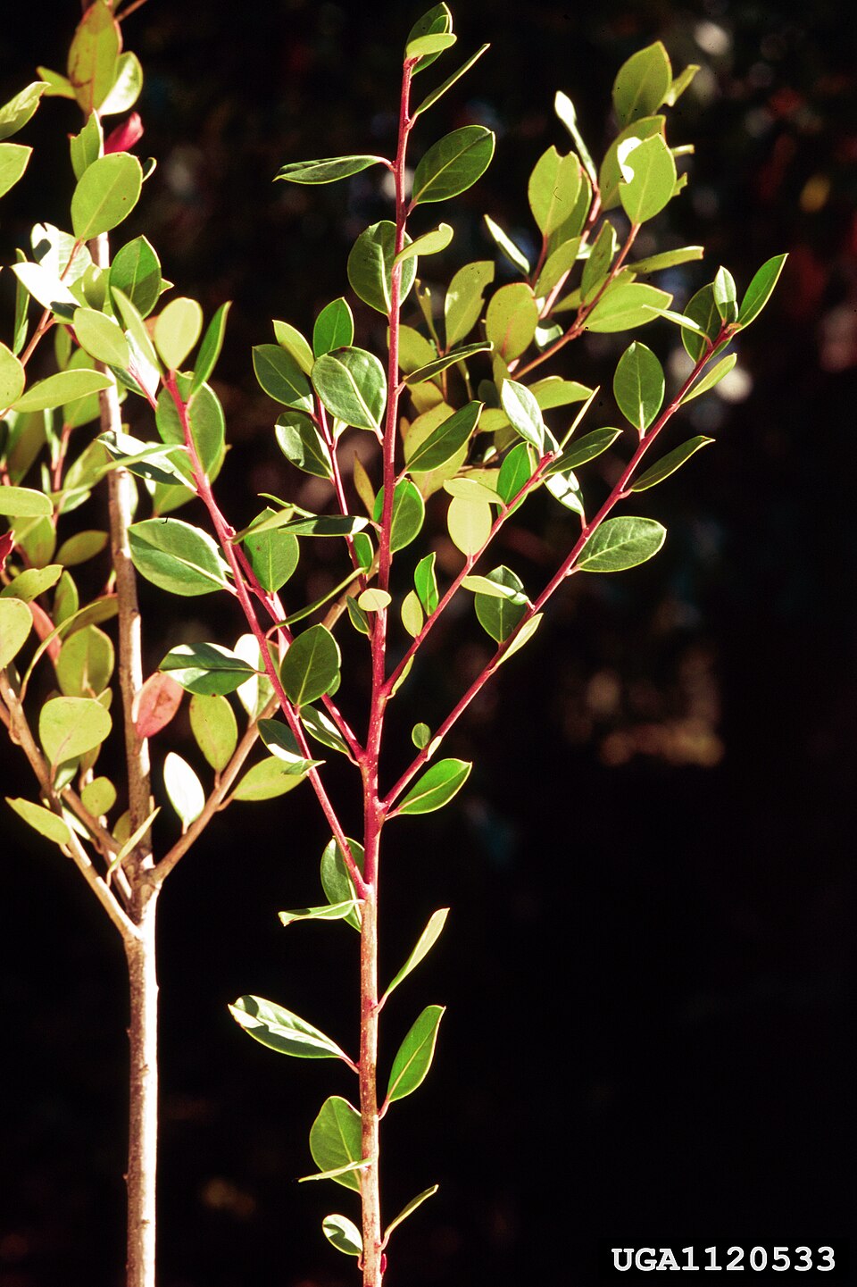
- Swamp RedbayTamala palustris
- American BlueheartsBuchnera americana
- Little Tooth SedgeCarex microdonta
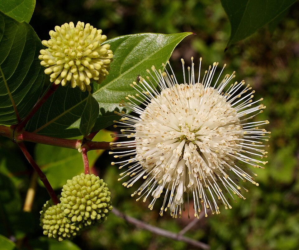
- ButtonbushCephalanthus occidentalis
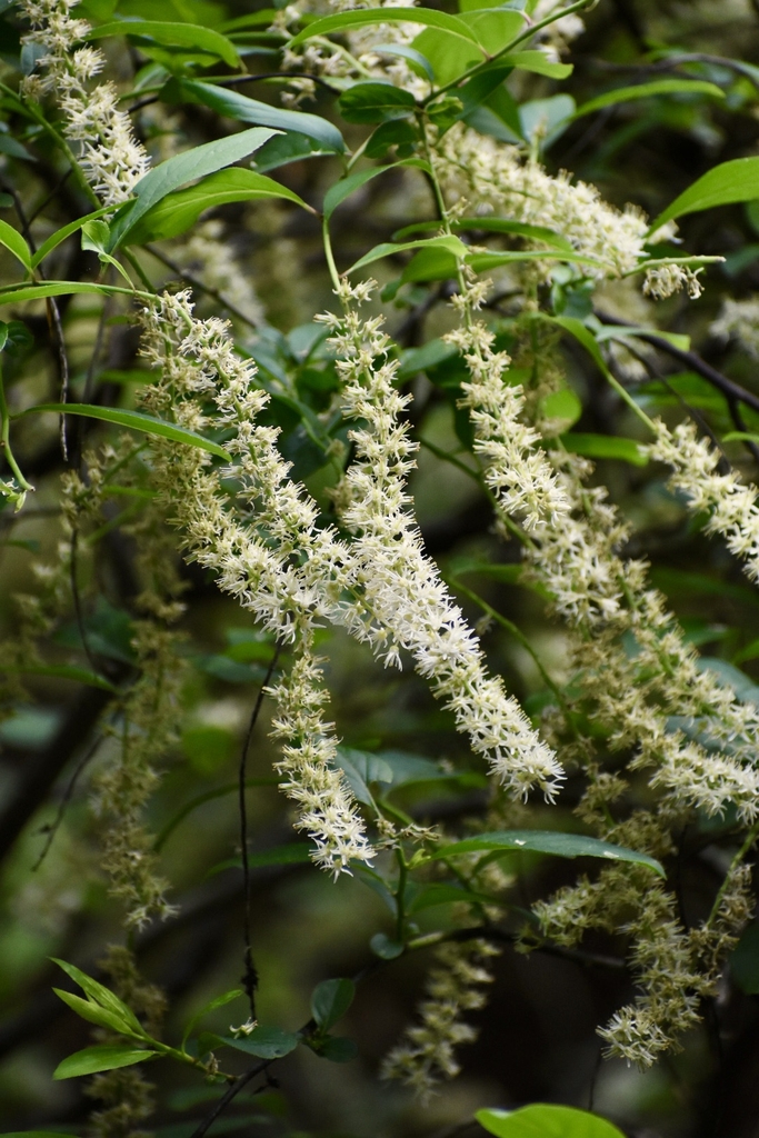
- Cliftonia monophyllaCliftonia monophylla
- Variable WitchgrassDichanthelium commutatum
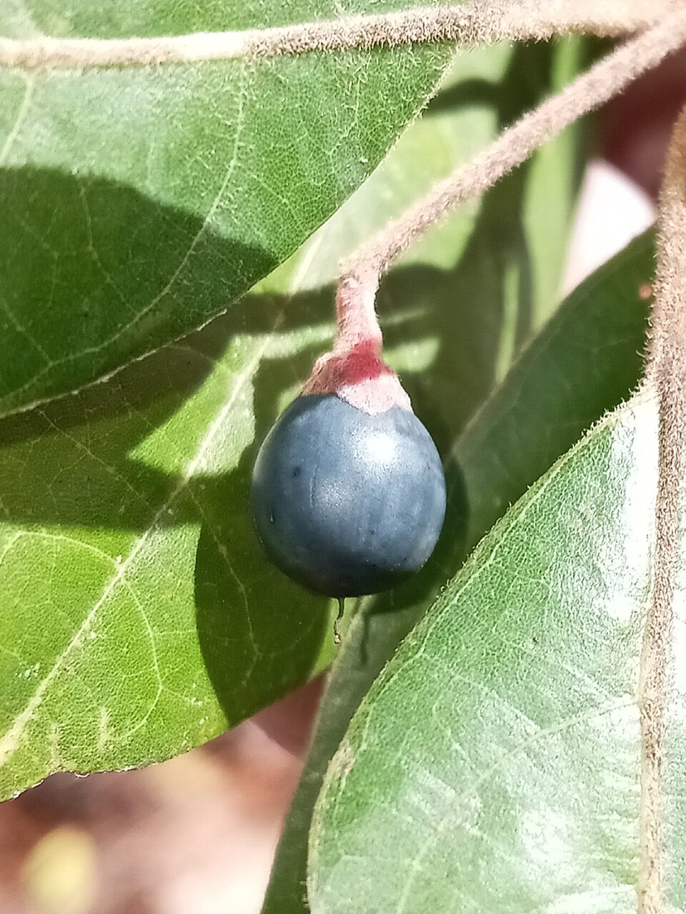
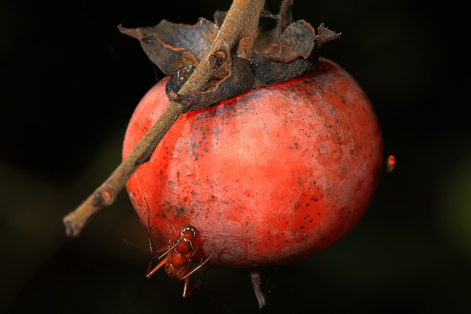
- American PersimmonDiospyros virginiana
- Snow-on-the-prairieEuphorbia bicolor
- Pumpkin AshFraxinus profunda
- Large GallberryIlex coriacea
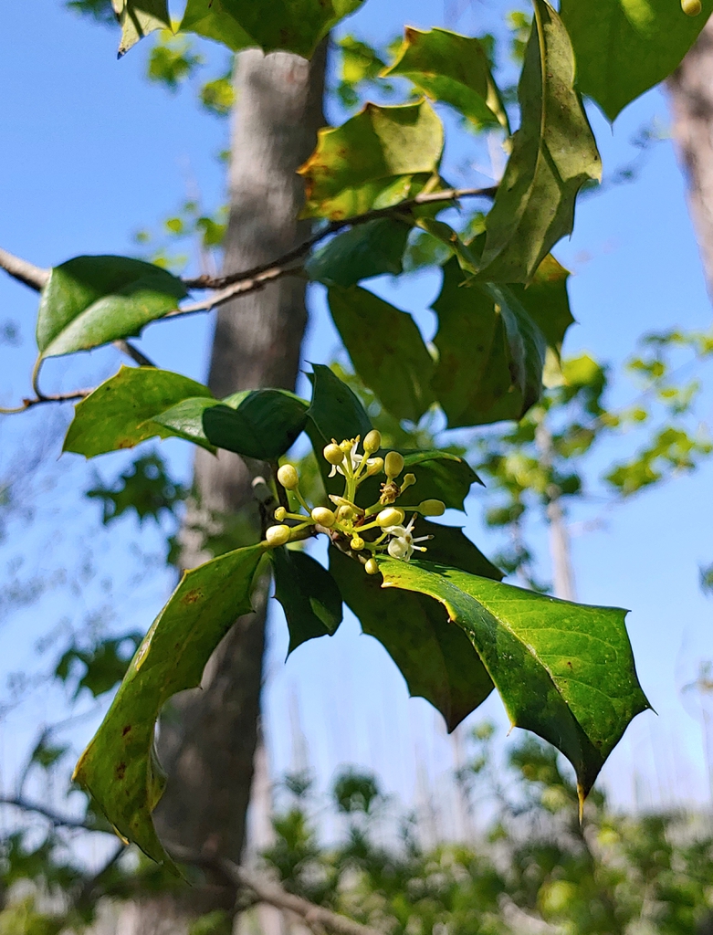
- American HollyIlex opaca
- Virginia SweetspireItea virginica

Wildlife 277
Other animals whose habitat models include the same habitats in Louisiana. Not sighting records.
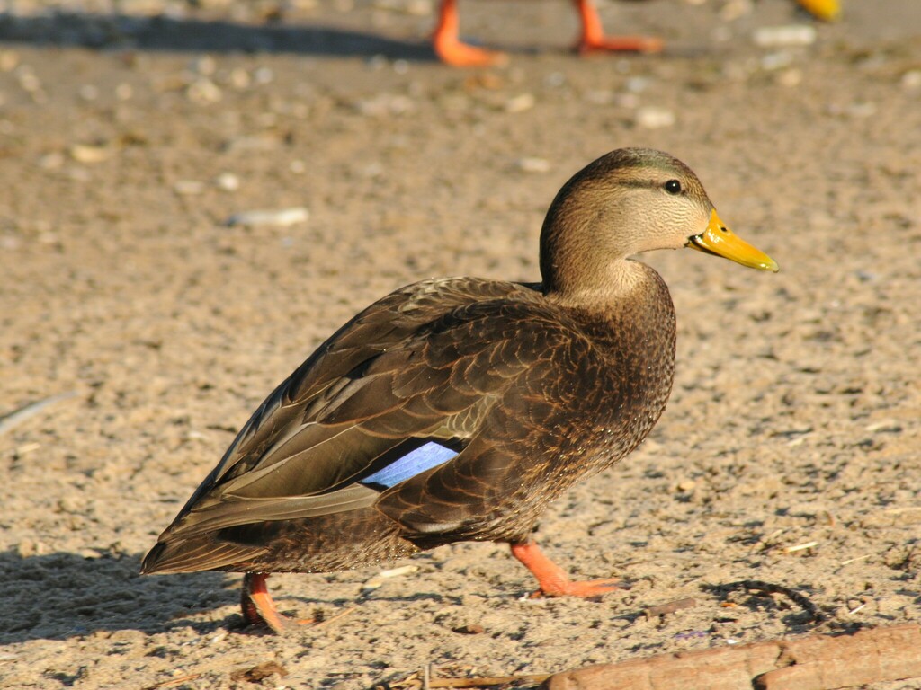
- American Black DuckAnas rubripes
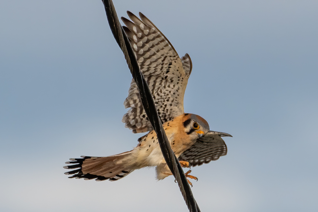
- American KestrelFalco sparverius
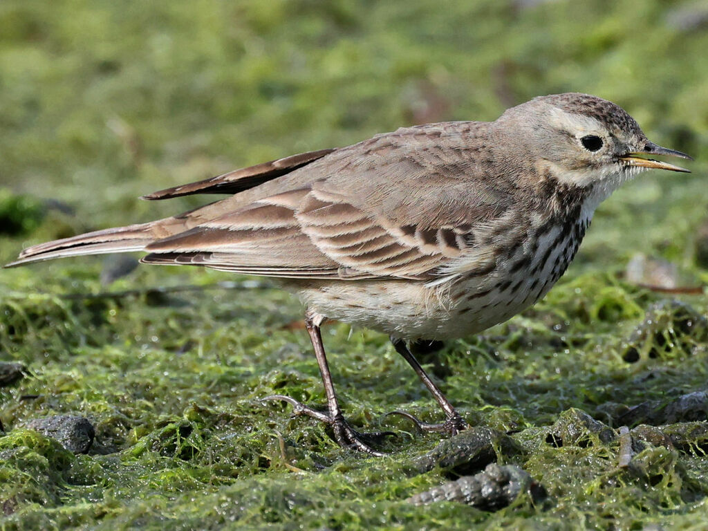
- American PipitAnthus rubescens
- Bank SwallowRiparia riparia
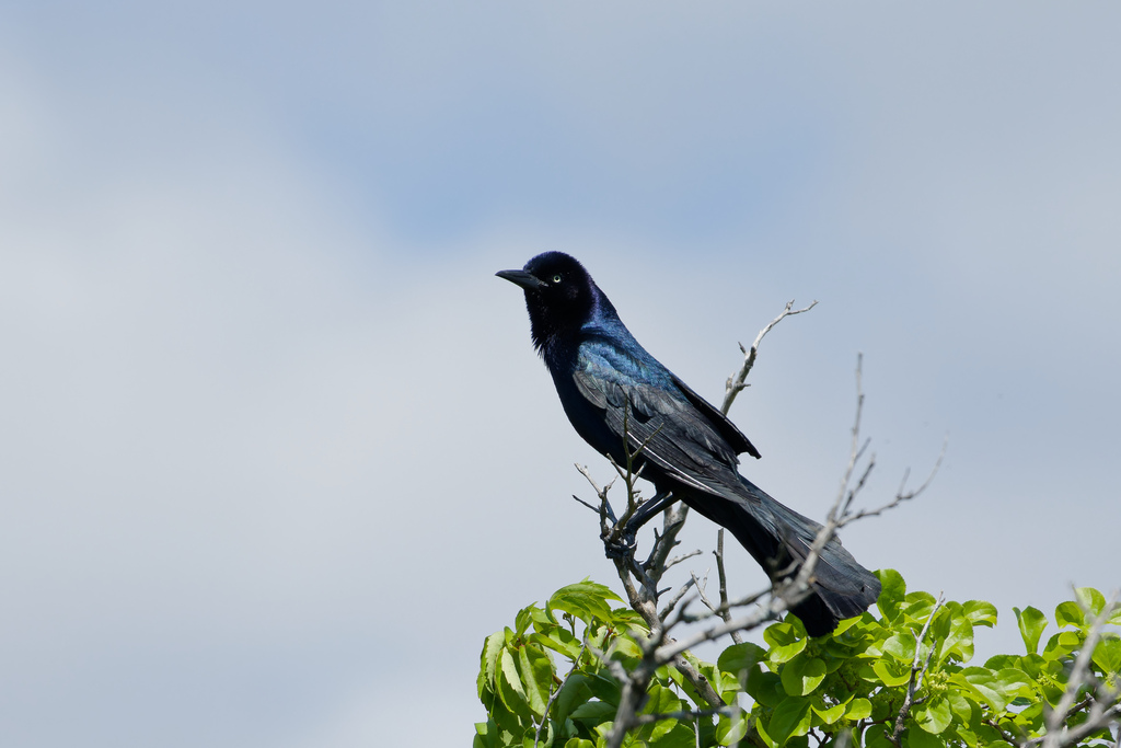
- Boat-tailed GrackleQuiscalus major
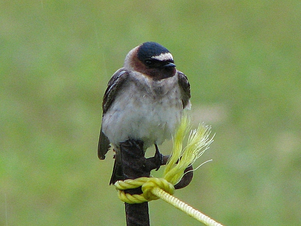
- Cliff SwallowPetrochelidon pyrrhonota
- Eastern KingbirdTyrannus tyrannus
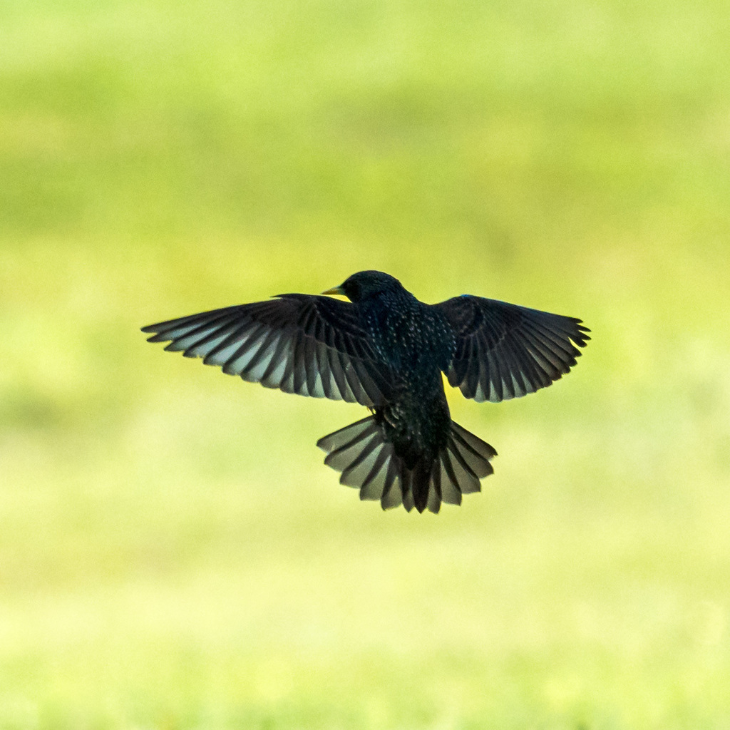
- European StarlingSturnus vulgaris
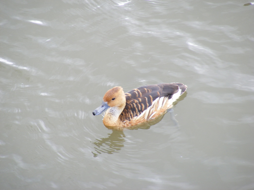
- Fulvous Whistling-duckDendrocygna bicolor
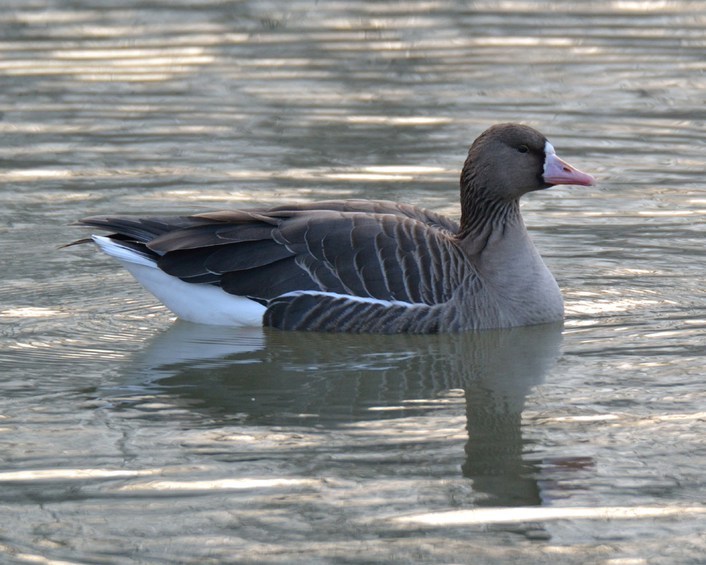
- Greater White-fronted GooseAnser albifrons
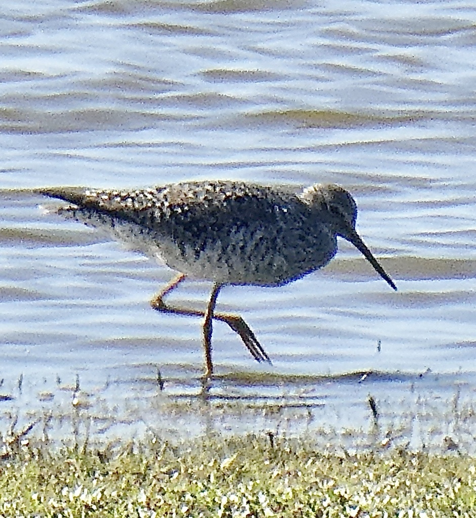
- Greater YellowlegsTringa melanoleuca
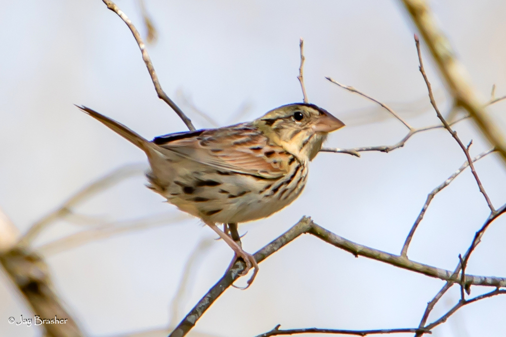
- Henslow's SparrowAmmodramus henslowii
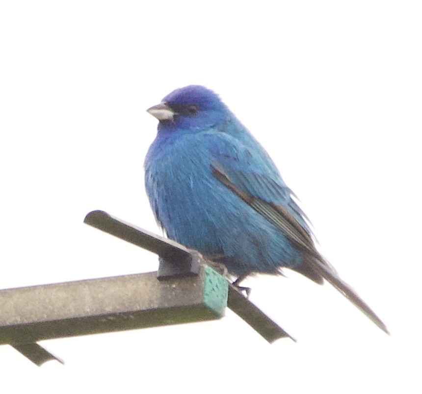
- Indigo BuntingPasserina cyanea
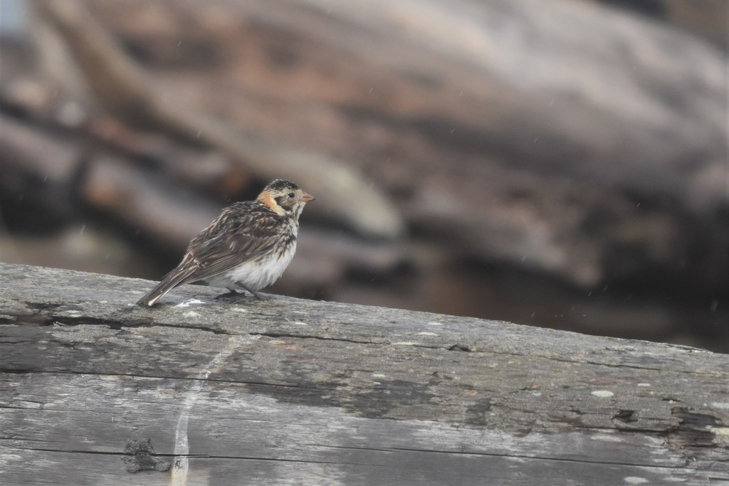
- Lapland LongspurCalcarius lapponicus
- Lesser Black-backed GullLarus fuscus
- Long-billed DowitcherLimnodromus scolopaceus
- MallardAnas platyrhynchos
- MerlinFalco columbarius
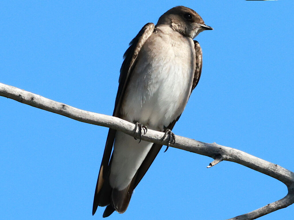
- Northern Rough-winged SwallowStelgidopteryx serripennis
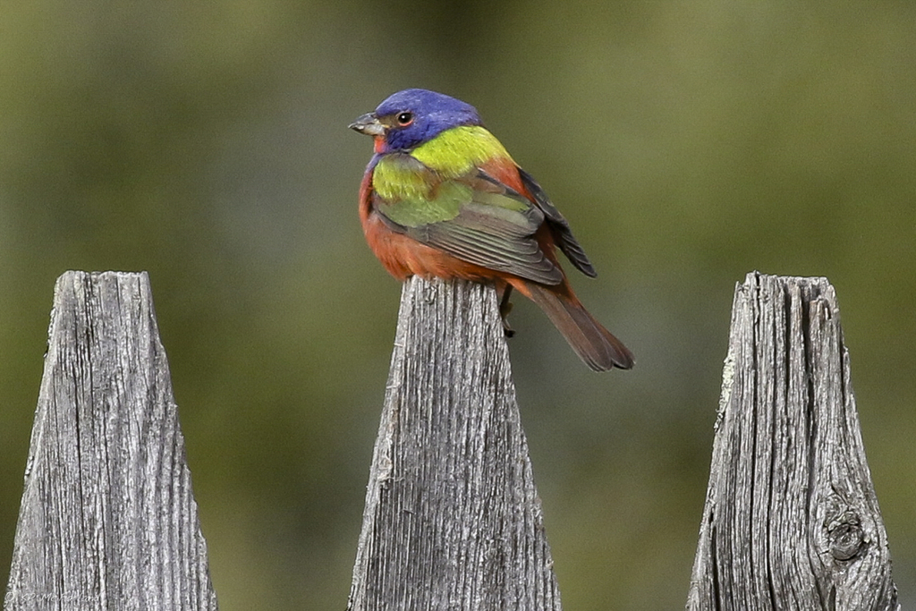
- Painted BuntingPasserina ciris
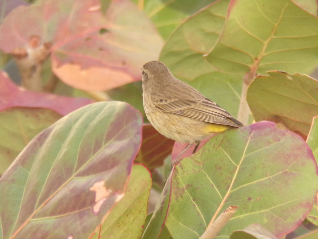
- Palm WarblerDendroica palmarum
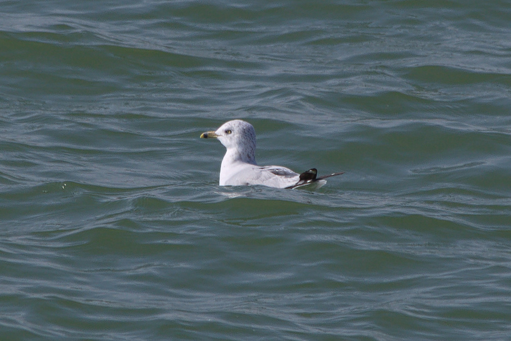
- Ring-billed GullLarus delawarensis
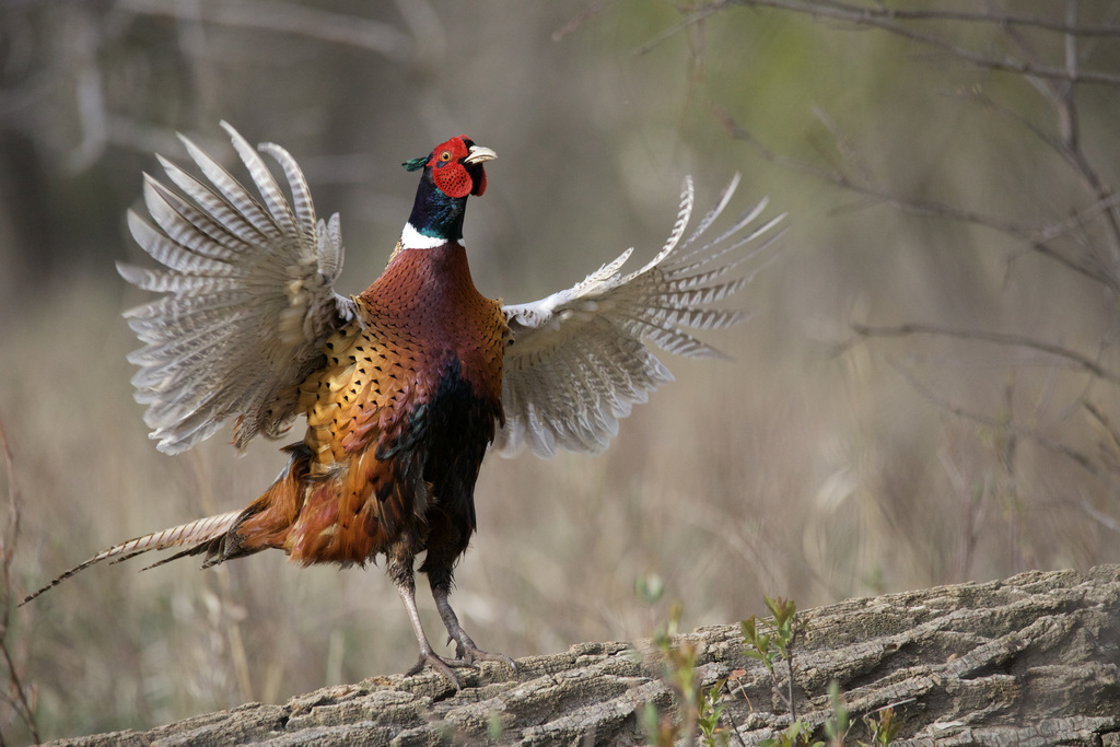
- Ring-necked PheasantPhasianus colchicus
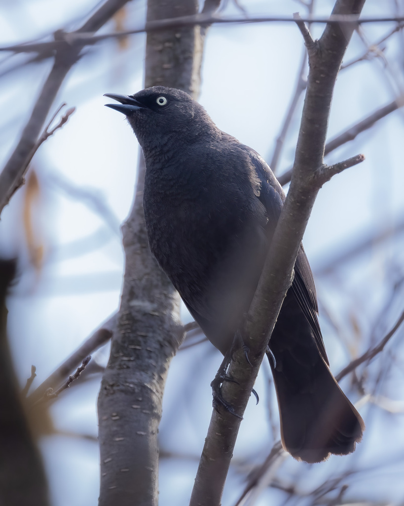
- Rusty BlackbirdEuphagus carolinus


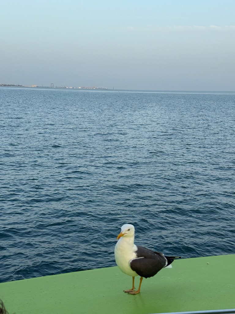
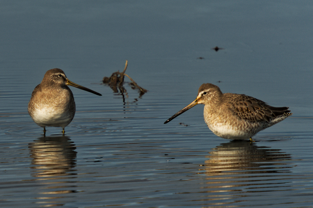
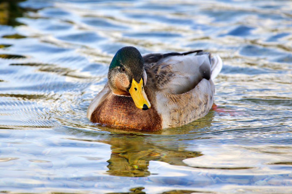
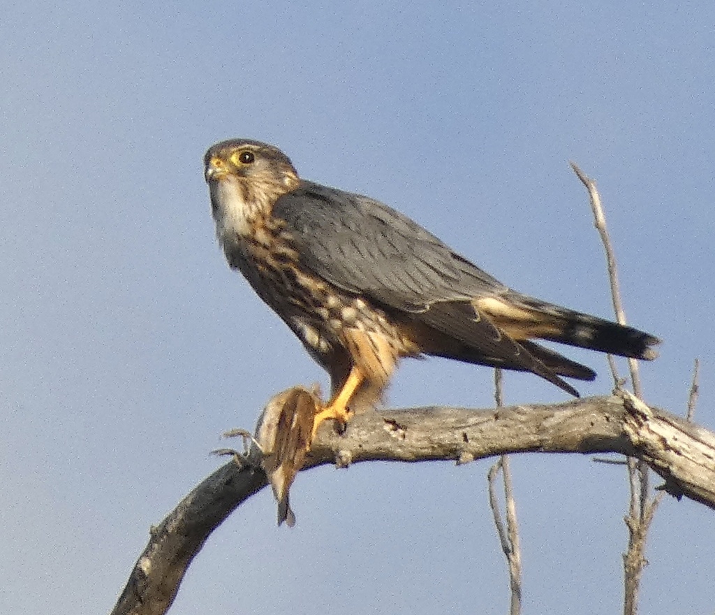
NatureServe Explorer, CC BY 4.0. USGS Gap Analysis Project habitat models.
Sources
- USGS Gap Analysis Project habitat models (2001)
- USGS GAP winter habitat model for Peregrine Falcon
- USGS Gap Analysis Project range maps (2001), modeled by watershed; migratory gives no dates
- NatureServe Explorer (CC BY 4.0), habitat names
- US Census TIGER/Line counties
- Names follow the USGS Gap Analysis Project (2001)