

Bird
Bank Swallow
Riparia riparia
Passes through Louisiana on migration. Found in all 64 parishes, across 10 habitats.
- Here
- On migration
- Nesting
- Not known to nest here
- Range
- All 64 parishes
- Habitats
- 10

At a glance
- Group
- Birds
- Here
- On migration
- Nesting
- Not known to nest here
- Range
- All 64 parishes
- Habitats
- 10
- Habitat models
- Summer
Where it lives
The places its habitat model includes. It is not found everywhere a habitat occurs.
Habitats in Louisiana 10
Each habitat page lists the plants and wildlife also found there.
Open sand of beaches, dunes and the hollows between them.
Open, wet, seepage-fed bogs of the Coastal Plain and Sandhills, often with pitcher plants.
Coastal tidal marshes (salinity not stated)
Tidal marshes of the Atlantic and Gulf coasts where the source does not say whether the water is fresh, brackish or salt. A stated salinity files the marsh under freshwater tidal marshes or salt and brackish marshes instead.
Disturbed and introduced wetlands
Wet ground taken over by weedy or introduced plants after disturbance, such as common reed, Chinese tallow or tamarisk stands; the upland counterpart is roadsides, fields and disturbed ground.
Still water and its edges: ponds, lakes, millponds and reservoirs.
Salt and brackish open water of sounds, bays and estuaries, with the mud and sand flats and seagrass beds that tides cover and uncover; the vegetated marsh is salt and brackish marshes.
Borders of forests, clearings and shrubby thickets.
Flat, sandy Coastal Plain pine woodlands, wetter than sandhills and denser than savannas.
Open, grass-dominated places kept open by fire, grazing or thin soil, from tallgrass prairie to Piedmont prairies.
Roadsides, fields and disturbed ground
Ground opened by people: roadsides, old fields, pastures, fencerows and lots.
Other habitats in its models (99)
Land cover, or classes with no habitat page in Louisiana. Those recorded in Louisiana first, the rest by region.
Elsewhere in the South (55)
- Appalachian Shale Barrens Summer, only within 250 m of water.
- Atlantic Coastal Plain Central Fresh-Oligohaline Tidal Marsh Summer.
- Atlantic Coastal Plain Central Salt and Brackish Tidal Marsh Summer.
- Atlantic Coastal Plain Embayed Region Tidal Freshwater Marsh Summer.
- Atlantic Coastal Plain Embayed Region Tidal Salt and Brackish Marsh Summer.
- Atlantic Coastal Plain Indian River Lagoon Tidal Marsh Summer.
- Atlantic Coastal Plain Large Natural Lakeshore Summer.
- Atlantic Coastal Plain Sea Island Beach Summer.
- Atlantic Coastal Plain Southern Beach Summer.
- Atlantic Coastal Plain Southern Dune and Maritime Grassland Summer.
- Atlantic Coastal Plain Xeric River Dune Summer.
- Central and Upper Texas Coast Dune and Coastal Grassland Summer.
- Central Florida Herbaceous Pondshore Summer.
- Central Florida Herbaceous Seep Summer.
- Central Interior Highlands Calcareous Glade and Barrens Summer, only within 250 m of water.
- Central Interior Highlands Dry Acidic Glade and Barrens Summer, only within 250 m of water.
- Cumberland Riverscour Summer.
- Cumberland Sandstone Glade and Barrens Summer, only within 250 m of water.
- East Gulf Coastal Plain Dry Chalk Bluff Summer, only within 250 m of water.
- East Gulf Coastal Plain Dune and Coastal Grassland Summer.
- East Gulf Coastal Plain Savanna and Wet Prairie Summer.
- Edwards Plateau Limestone Savanna and Woodland Summer, only within 250 m of water.
- Florida Big Bend Fresh-Oligohaline Tidal Marsh Summer.
- Florida Big Bend Salt-Brackish Tidal Marsh Summer.
- Florida Dry Prairie Summer, only within 250 m of water.
- Florida Panhandle Beach Vegetation Summer.
- Florida Peninsula Inland Scrub Summer, only within 250 m of water.
- Floridian Highlands Freshwater Marsh Summer.
- Mississippi Sound Salt and Brackish Tidal Marsh Summer.
- Nashville Basin Limestone Glade Summer, only within 250 m of water.
- Ridge and Valley Calcareous Valley Bottom Glade and Woodland Summer, only within 250 m of water.
- South Florida Everglades Sawgrass Marsh Summer.
- South Florida Freshwater Slough and Gator Hole Summer.
- South Florida Shell Hash Beach Summer.
- South Florida Wet Marl Prairie Summer.
- South-Central Interior Small Stream and Riparian Summer.
- Southeast Florida Beach Summer.
- Southeastern Great Plains Tallgrass Prairie Summer, only within 250 m of water.
- Southern and Central Appalachian Bog and Fen Summer.
- Southern Appalachian Granitic Dome Summer, only within 250 m of water.
- Southern Appalachian Montane Cliff Summer, only within 250 m of water.
- Southern Appalachian Rocky Summit Summer, only within 250 m of water.
- Southern Blackland Tallgrass Prairie Summer, only within 250 m of water.
- Southern Interior Acid Cliff Summer, only within 250 m of water.
- Southern Interior Calcareous Cliff Summer, only within 250 m of water.
- Southern Piedmont Cliff Summer, only within 250 m of water.
- Southern Piedmont Glade and Barrens Summer, only within 250 m of water.
- Southern Piedmont Granite Flatrock Summer, only within 250 m of water.
- Southwest Florida Beach Summer.
- Southwest Florida Dune and Coastal Grassland Summer.
- Tamaulipan Calcareous Thornscrub Summer, only within 250 m of water.
- Tamaulipan Mixed Deciduous Thornscrub Summer, only within 250 m of water.
- Texas Coastal Bend Beach Summer.
- Texas Saline Coastal Prairie Summer.
- West Gulf Coastal Plain Northern Calcareous Prairie Summer, only within 250 m of water.
Northeast (7)
- Atlantic Coastal Plain Northern Fresh and Oligohaline Tidal Marsh Summer.
- Atlantic Coastal Plain Northern Tidal Salt Marsh Summer.
- Central Appalachian Alkaline Glade and Woodland Summer, only within 250 m of water.
- Central Appalachian Pine-Oak Rocky Woodland Summer, only within 250 m of water.
- North-Central Appalachian Acidic Cliff and Talus Summer, only within 250 m of water.
- North-Central Appalachian Circumneutral Cliff and Talus Summer, only within 250 m of water.
- Northeastern Interior Pine Barrens Summer, only within 250 m of water.
Midwest (7)
- Central Interior Acidic Cliff and Talus Summer, only within 250 m of water.
- Central Interior Calcareous Cliff and Talus Summer, only within 250 m of water.
- Central Mixedgrass Prairie Summer, only within 250 m of water.
- Central Tallgrass Prairie Summer, only within 250 m of water.
- North-Central Interior Oak Savanna Summer, only within 250 m of water.
- North-Central Interior Sand and Gravel Tallgrass Prairie Summer, only within 250 m of water.
- North-Central Oak Barrens Summer, only within 250 m of water.
Land cover and other classes (30)
- Arkansas Valley Prairie and Woodland Summer, only within 250 m of water.
- Atlantic Coastal Plain Clay-Based Carolina Bay Herbaceous Wetland Summer.
- Atlantic Coastal Plain Depression Pondshore Summer.
- Barren Land Summer, only within 250 m of water.
- Central Interior and Appalachian Shrub-Herbaceous Wetland Systems Summer.
- Developed, Low Intensity Summer, only within 250 m of water.
- East Gulf Coastal Plain Black Belt Calcareous Prairie and Woodland - Herbaceous Modifier Summer, only within 250 m of water.
- East Gulf Coastal Plain Black Belt Calcareous Prairie and Woodland - Woodland Modifier Summer, only within 250 m of water.
- East Gulf Coastal Plain Jackson Prairie and Woodland Summer, only within 250 m of water.
- East Gulf Coastal Plain Large River Floodplain Forest - Herbaceous Modifier Summer.
- East Gulf Coastal Plain Southern Depression Pondshore Summer.
- Eastern Great Plains Wet Meadow, Prairie, and Marsh Summer.
- Eastern Highland Rim Prairie and Barrens - Dry Modifier Summer, only within 250 m of water.
- Harvested Forest - Grass/Forb Regeneration Summer, only within 250 m of water.
- Introduced Upland Vegetation - Annual Grassland Summer, only within 250 m of water.
- Introduced Upland Vegetation - Forbland Summer, only within 250 m of water.
- Introduced Upland Vegetation - Perennial Grassland Summer, only within 250 m of water.
- Modified/Managed Southern Tall Grassland Summer, only within 250 m of water.
- Open Water (Aquaculture) Summer.
- Quarries, Mines, Gravel Pits and Oil Wells Summer, only within 250 m of water.
- Recently Burned Grassland Summer, only within 250 m of water.
- Recently Burned Shrubland Summer, only within 250 m of water.
- South-Central Interior Large Floodplain - Herbaceous Modifier Summer.
- Southern Appalachian Grass and Shrub Bald - Herbaceous Modifier Summer, only within 250 m of water.
- Southern Appalachian Grass and Shrub Bald - Shrub Modifier Summer, only within 250 m of water.
- Tamaulipan Mesquite Upland Scrub Summer, only within 250 m of water.
- Texas-Louisiana Coastal Prairie Slough Summer.
- Unconsolidated Shore Summer.
- Unconsolidated Shore (Lake/River/Pond) Summer.
- Western Great Plains Floodplain Systems Summer.
Seasons in Louisiana
- Migratory: does not nest here, in all 64 parishes.
Also found in its main habitats
Its main habitats in Louisiana, by how much of its habitat model each one is, with the birds most characteristic of each and the plants that grow wild there. Shared habitat, not food.
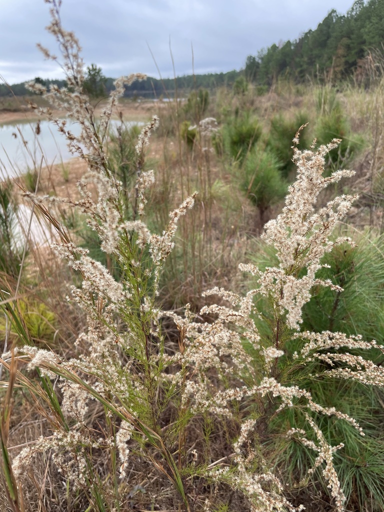
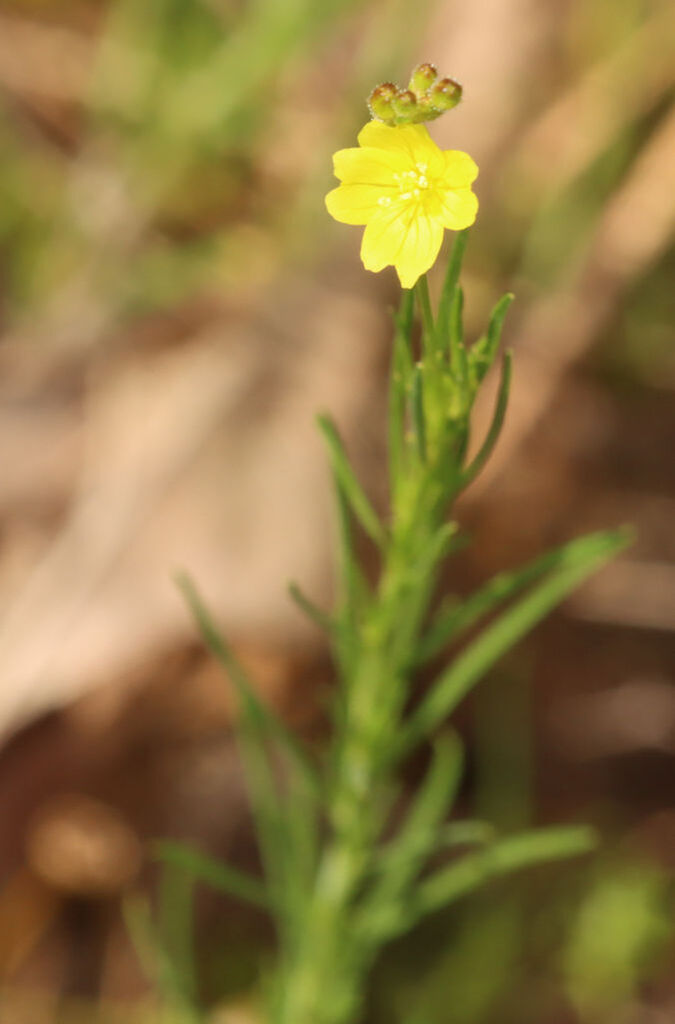
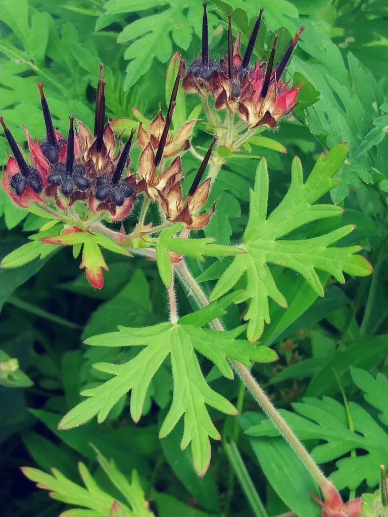
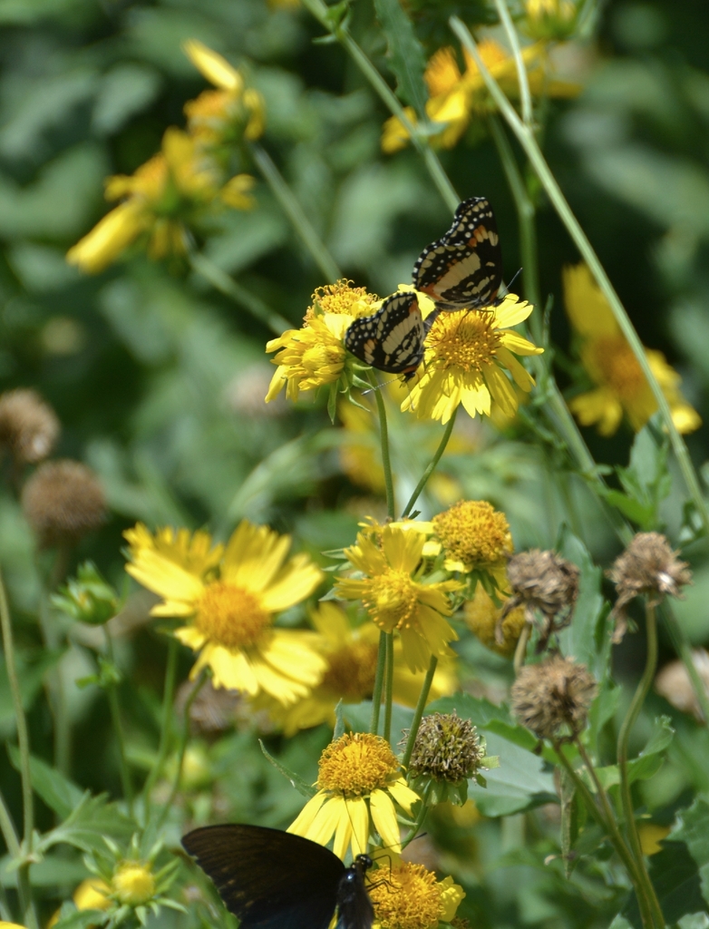
Roadsides, fields and disturbed ground
Birds 153
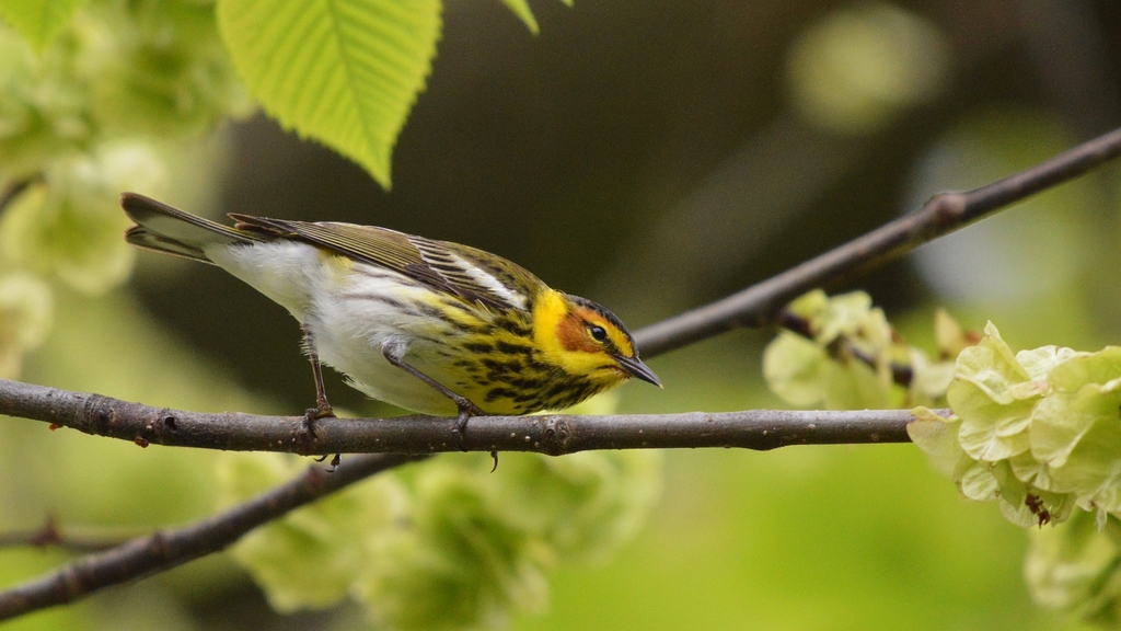
- Cape May WarblerDendroica tigrina
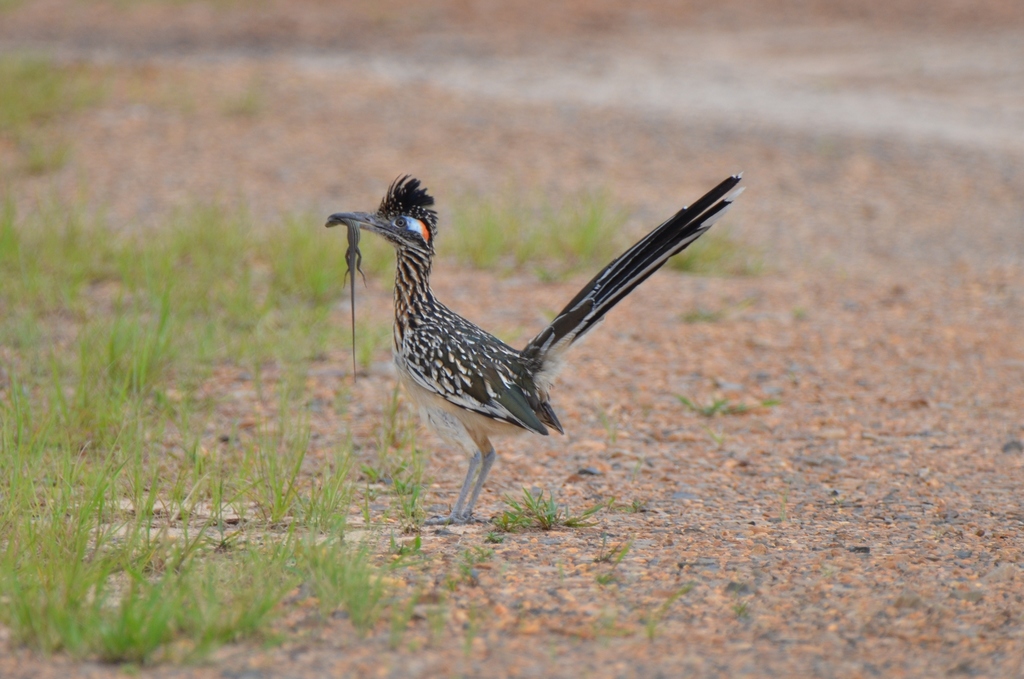
- Greater RoadrunnerGeococcyx californianus
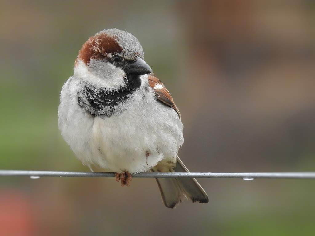
- House SparrowPasser domesticus
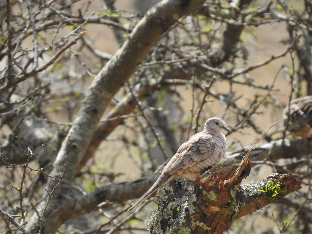
- Inca DoveColumbina inca
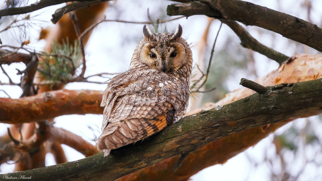
- Long-eared OwlAsio otus
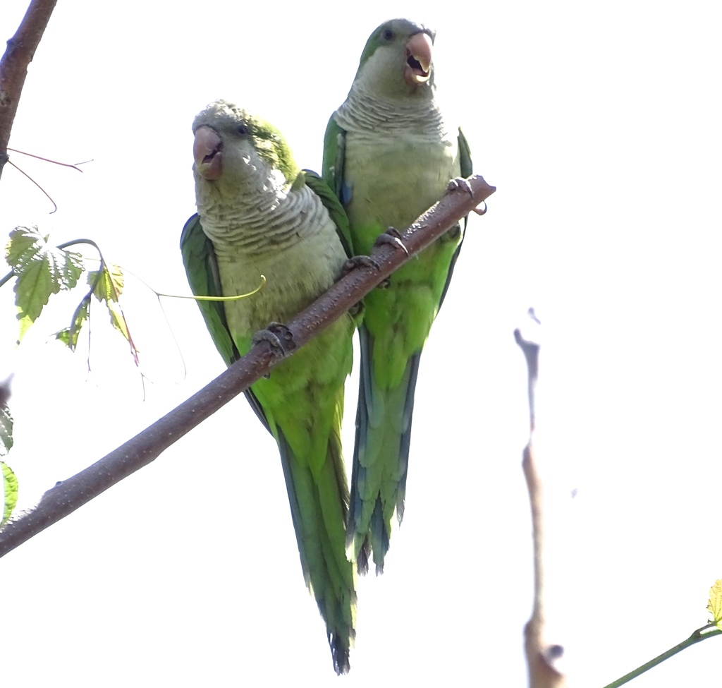
- Monk ParakeetMyiopsitta monachus
- Smith's LongspurCalcarius pictus
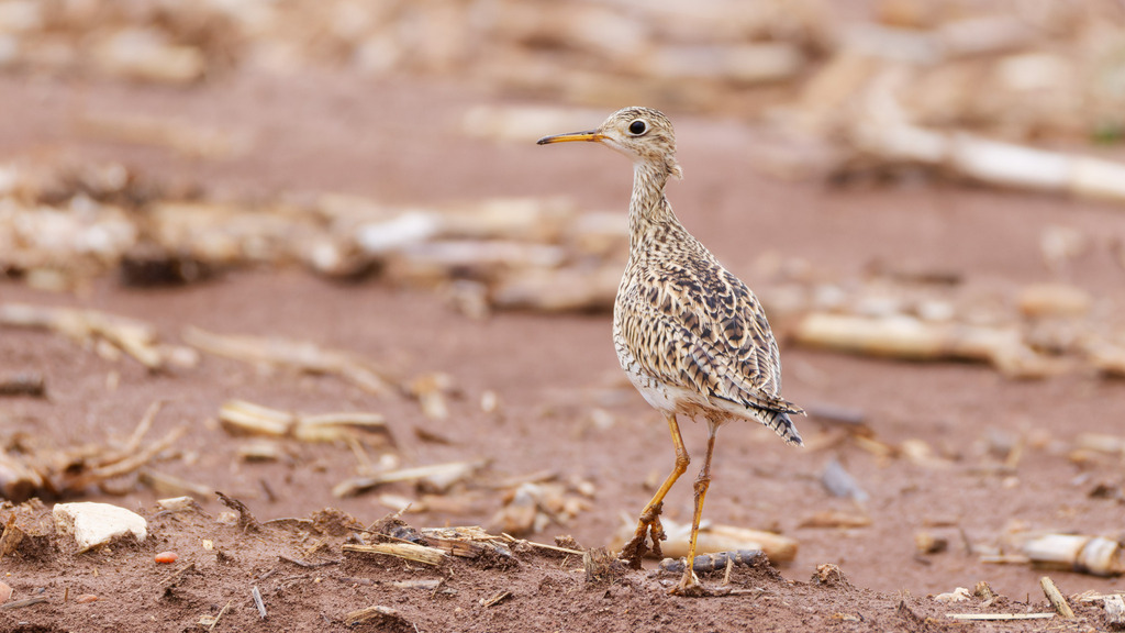
- Upland SandpiperBartramia longicauda
- Western Burrowing OwlAthene cunicularia hypugaea
- Rock PigeonColumba livia
- BobolinkDolichonyx oryzivorus
- Bronzed CowbirdMolothrus aeneus
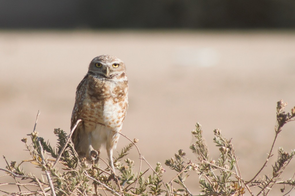
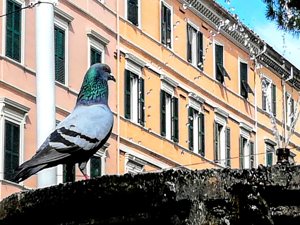
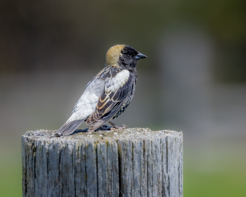
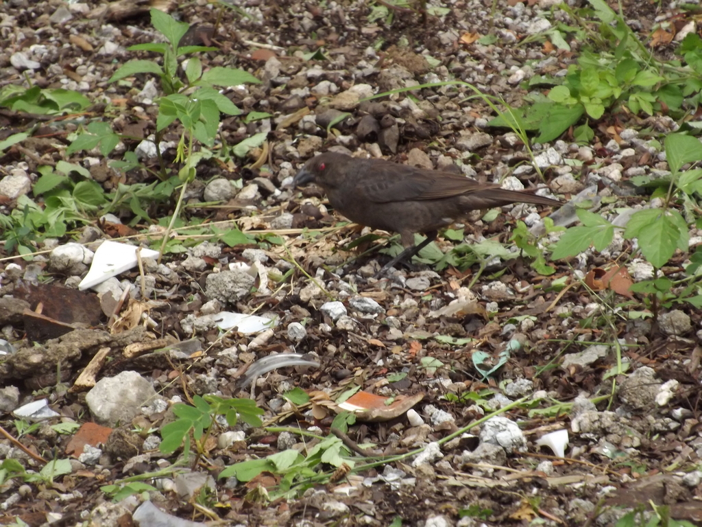
Plants 958
- Muck SunflowerHelianthus simulans
- Canada LettuceLactuca canadensis
- Annual FleabaneErigeron annuus
- Common Evening-primroseOenothera biennis
- Cutleaf Evening-primroseOenothera laciniata
- Dog-fennelEupatorium capillifolium
- Threadleaf SundropsOenothera linifolia
- Carolina Crane's-billGeranium carolinianum
- Golden CrownbeardVerbesina encelioides
- Blackeyed SusanRudbeckia hirta var. pulcherrima
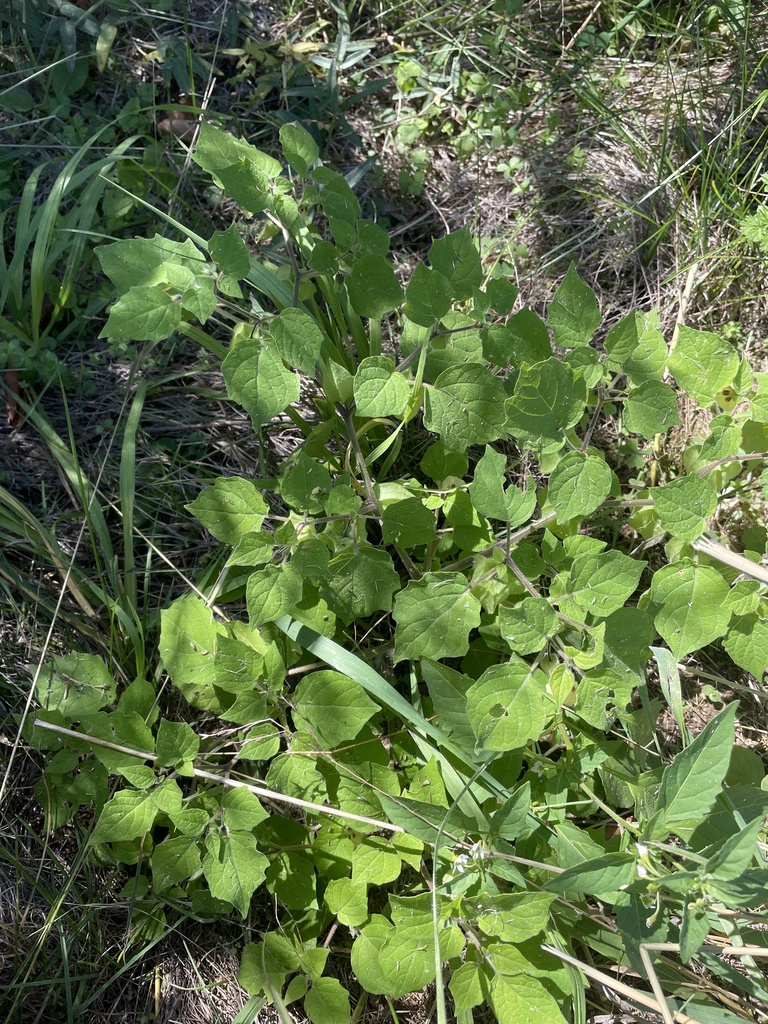
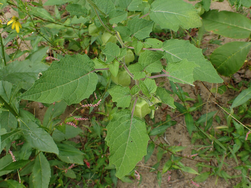
- Downy Ground-cherryPhysalis pubescens
- Gray Ground-cherryPhysalis grisea
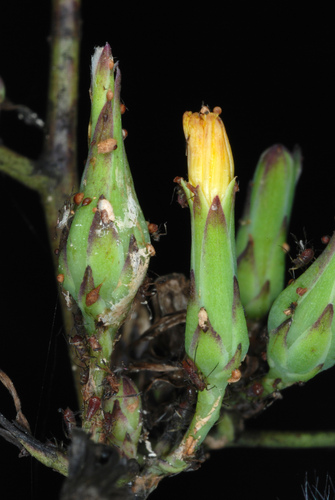
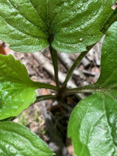
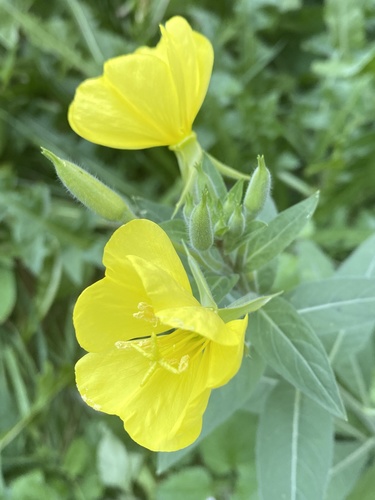
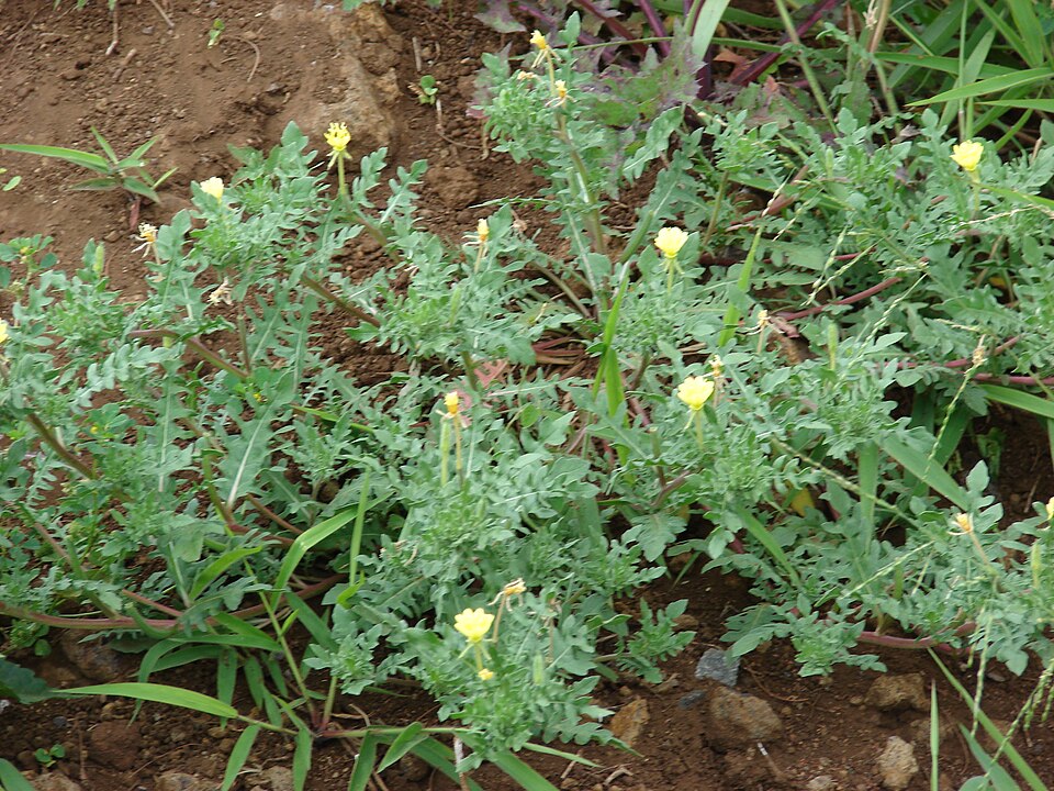
Coastal dunes and beaches
Birds 139
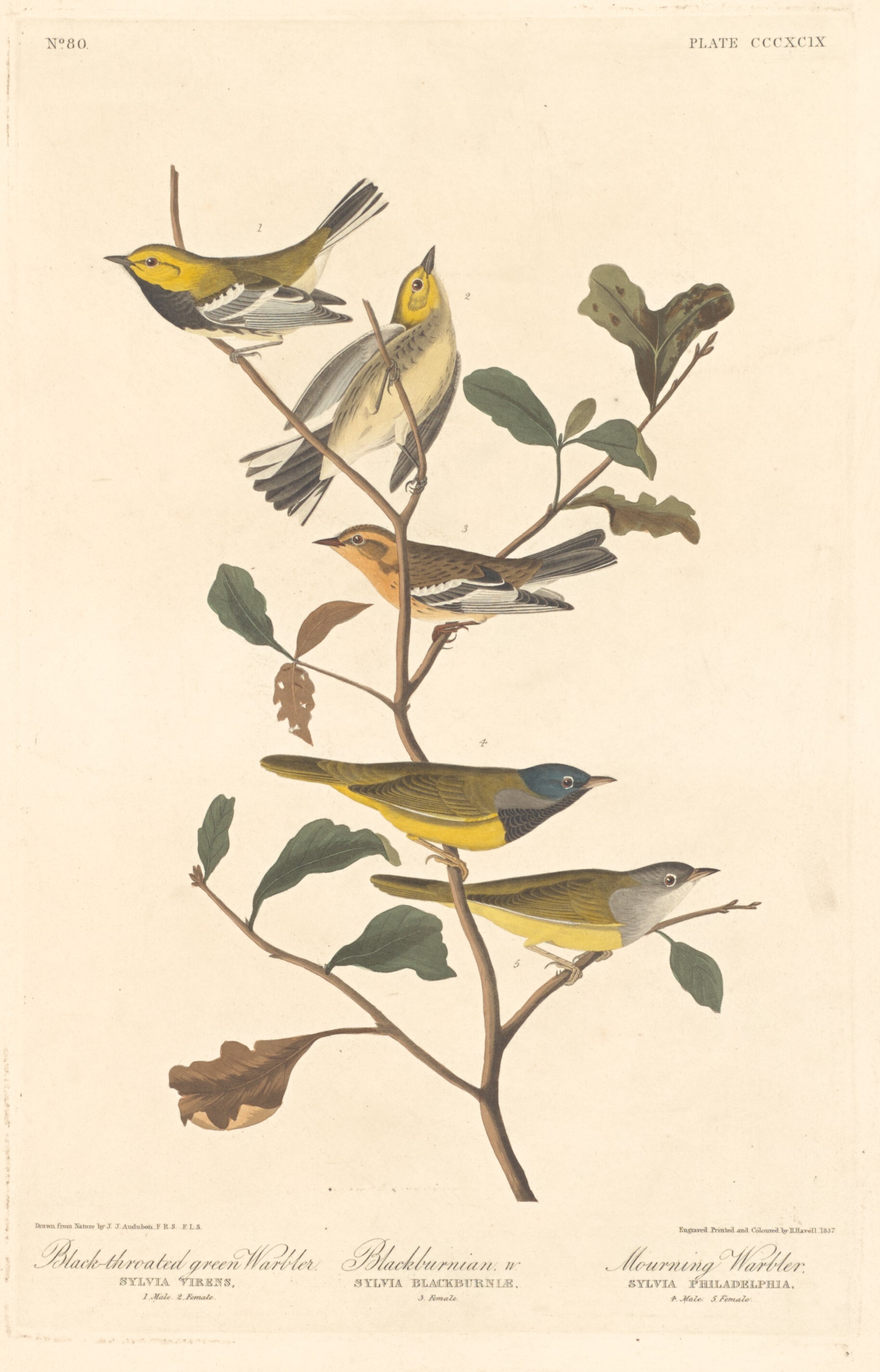
- Black-throated Green WarblerDendroica virens
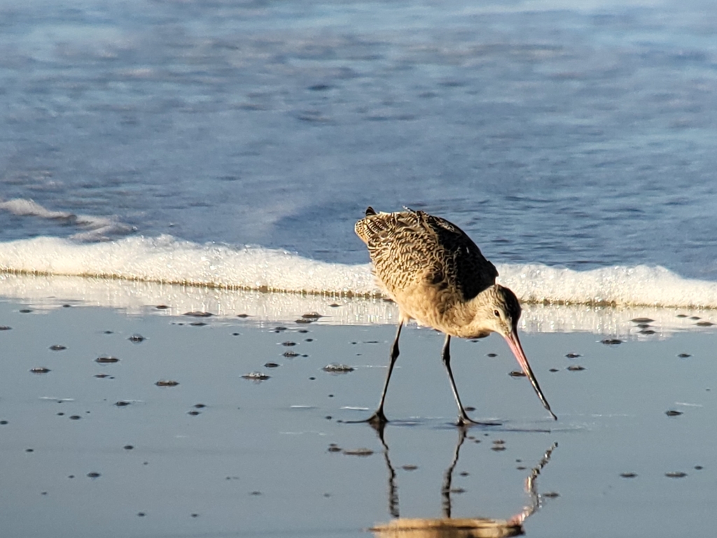
- Marbled GodwitLimosa fedoa
- Short-billed DowitcherLimnodromus griseus
- Sooty TernOnychoprion fuscatus
- Black RailLaterallus jamaicensis
- Horned LarkEremophila alpestris
- Nelson's Sharp-tailed SparrowAmmodramus nelsoni
- Purple MartinProgne subis
- Red KnotCalidris canutus
- Rock PigeonColumba livia
- Sandwich TernThalasseus sandvicensis
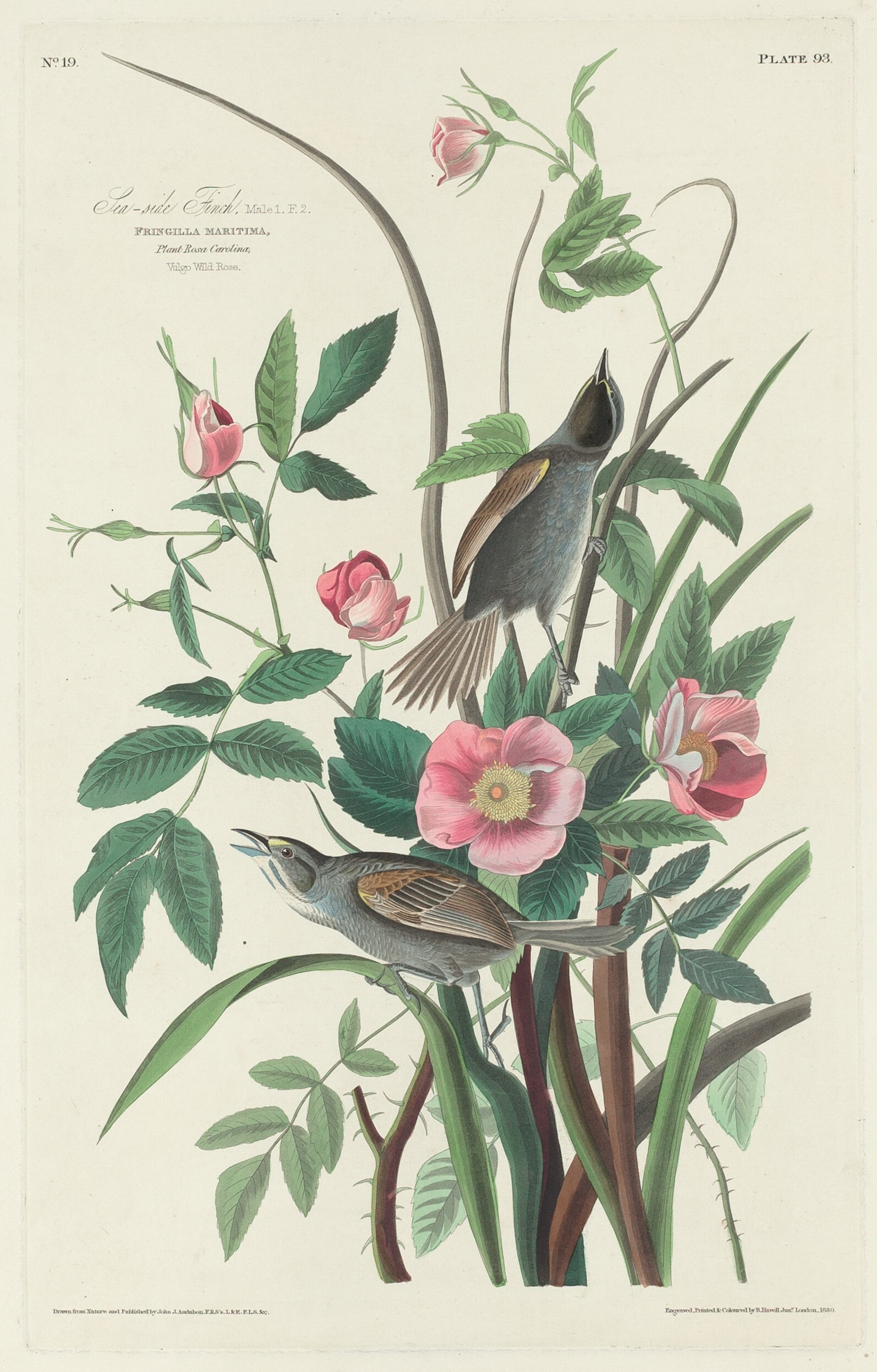
- Seaside SparrowAmmodramus maritimus
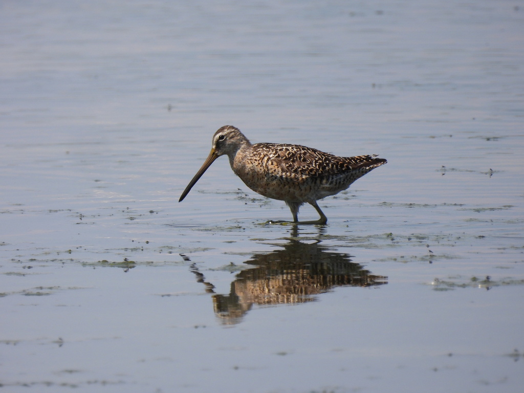
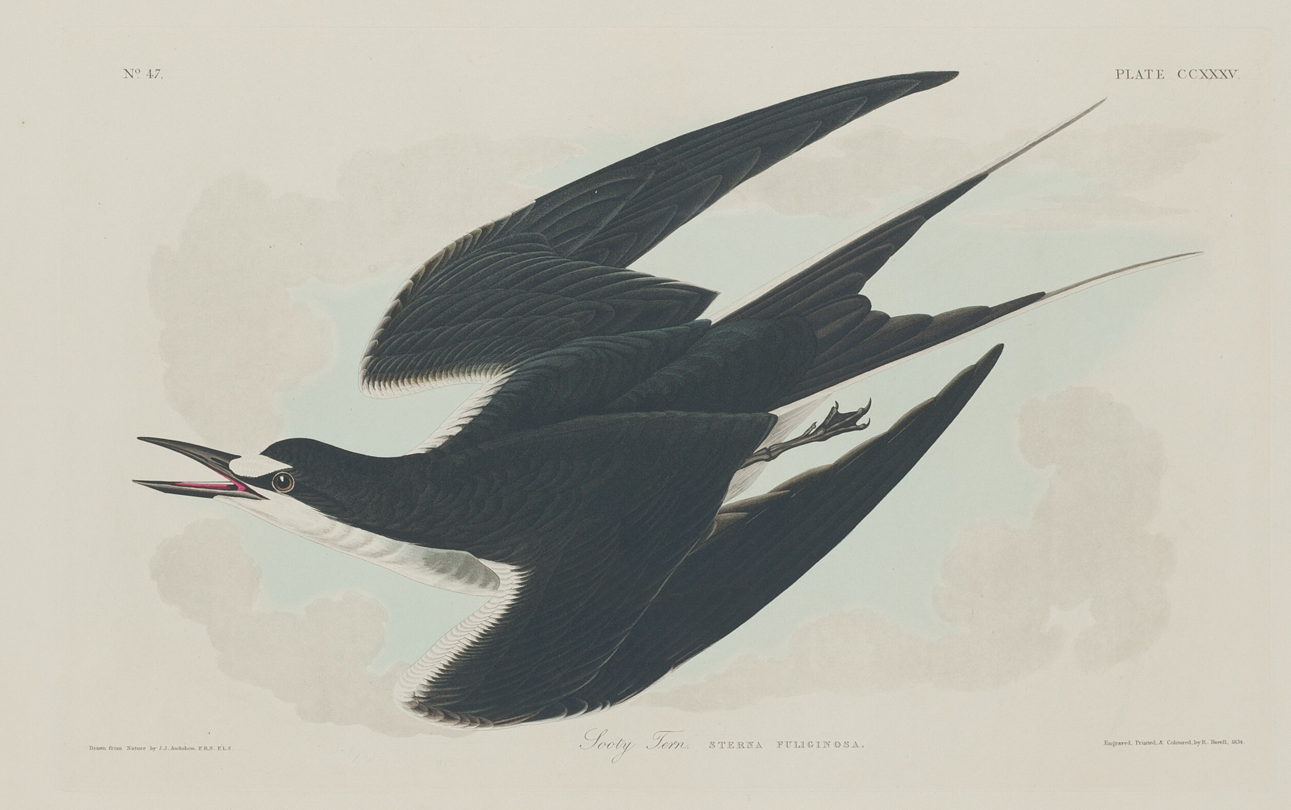
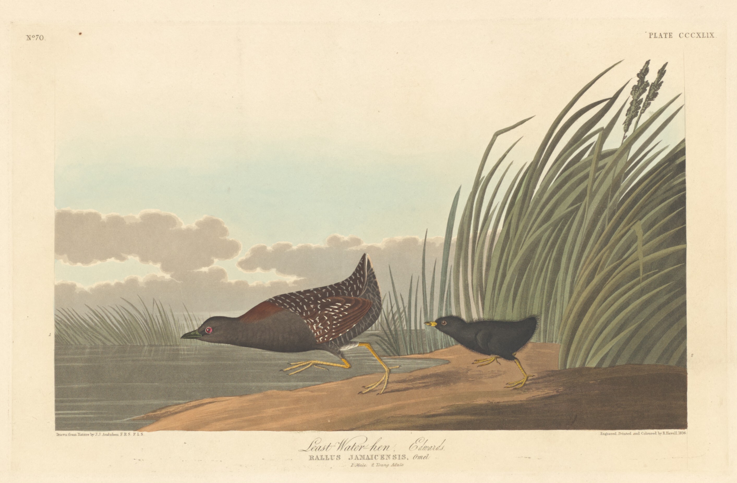
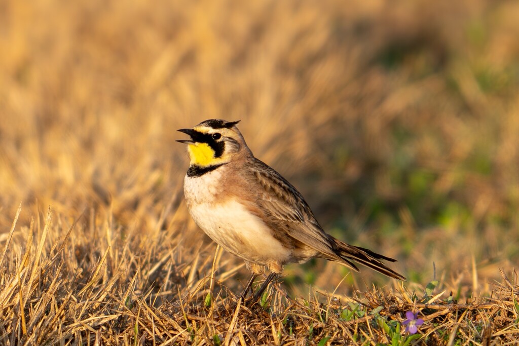
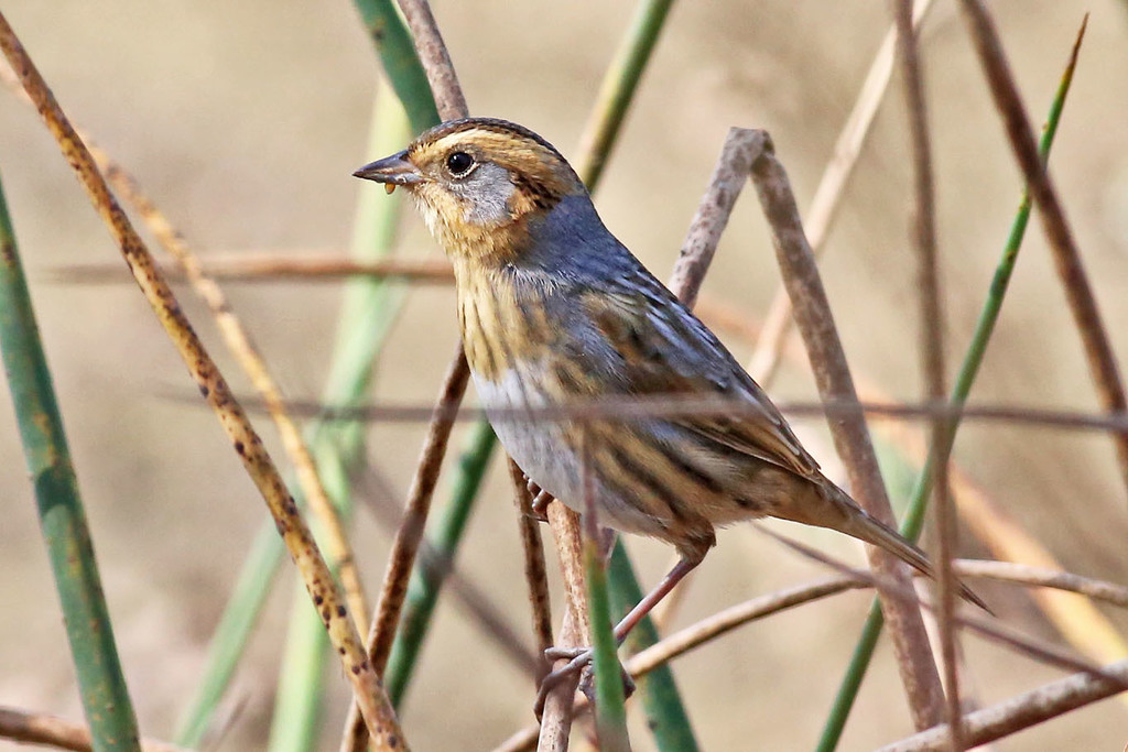
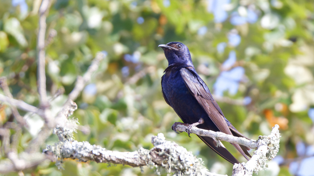
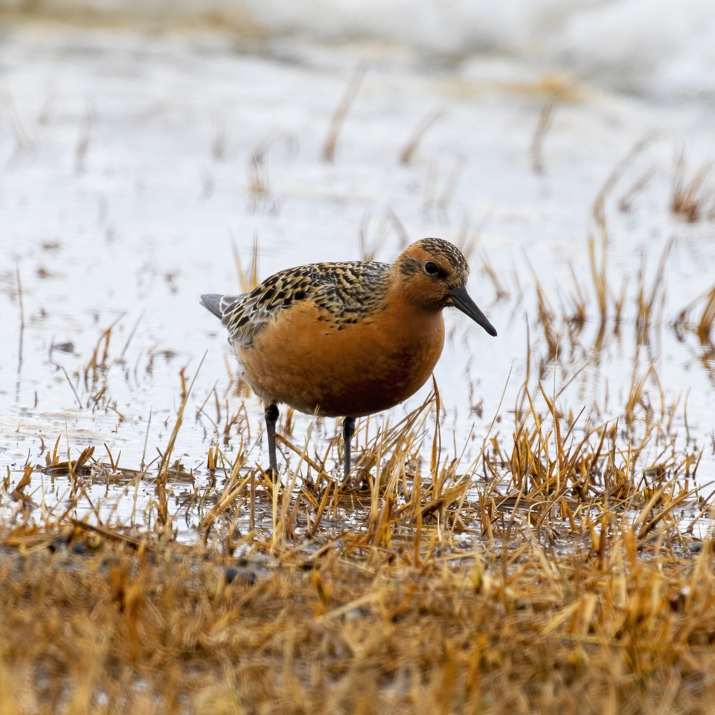
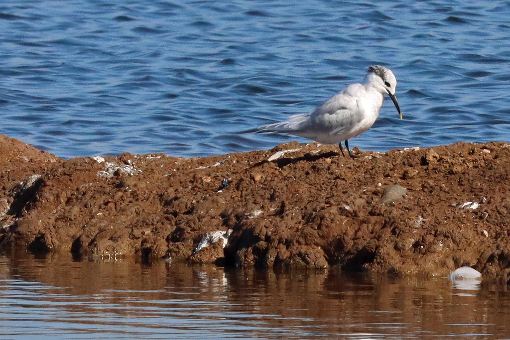
Plants 84
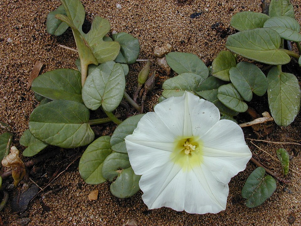
- Beach Morning-gloryIpomoea imperati
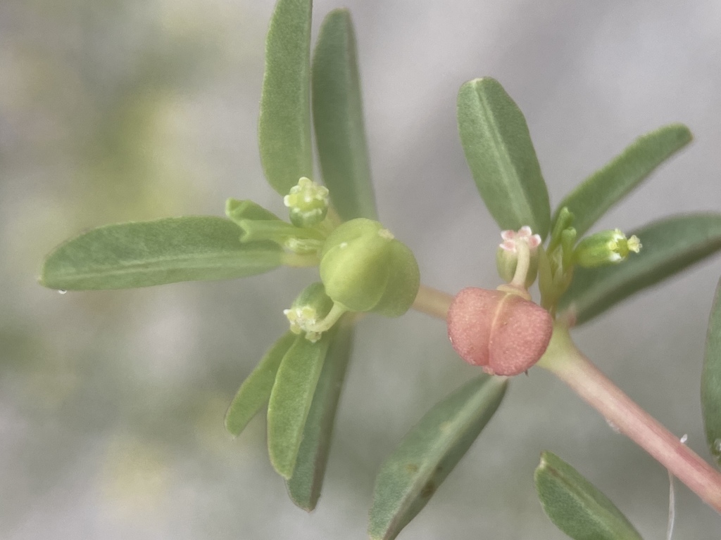
- Southern Seaside SpurgeEuphorbia bombensis
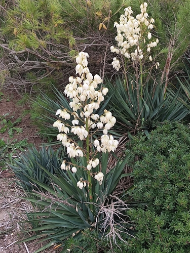
- Mound-lily YuccaYucca gloriosa
- Northern Seabeach OrachAtriplex mucronata
- Dune Marsh-elderIva imbricata
- Pinewoods FingergrassEustachys petraea
- Sea OatsUniola paniculata
- Beach Evening-primroseOenothera drummondii
- Saltwater False-willowBaccharis angustifolia
- Gulf CrotonCroton punctatus
- CamphorweedHeterotheca subaxillaris
- Cottony Golden-asterChrysopsis gossypina
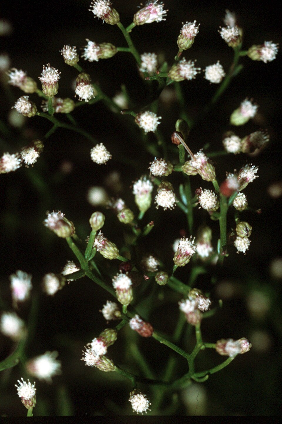
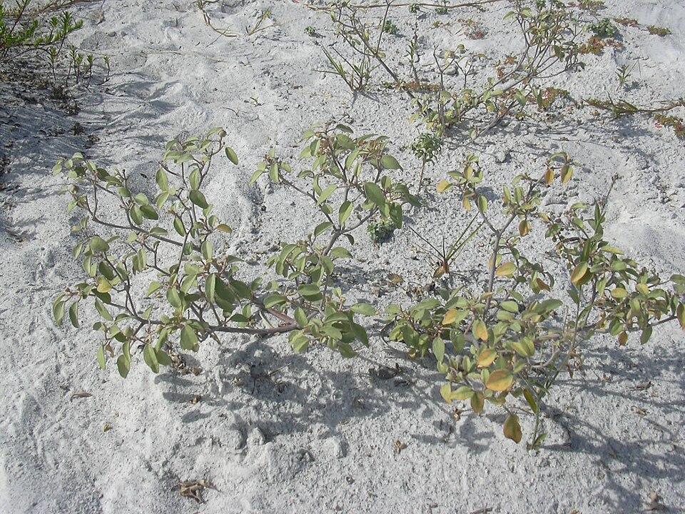
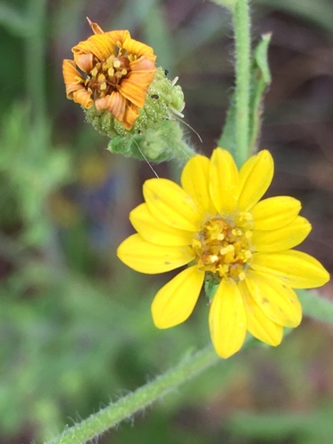
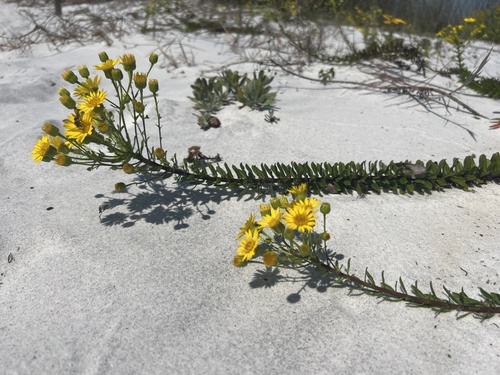
Disturbed and introduced wetlands
Birds 179
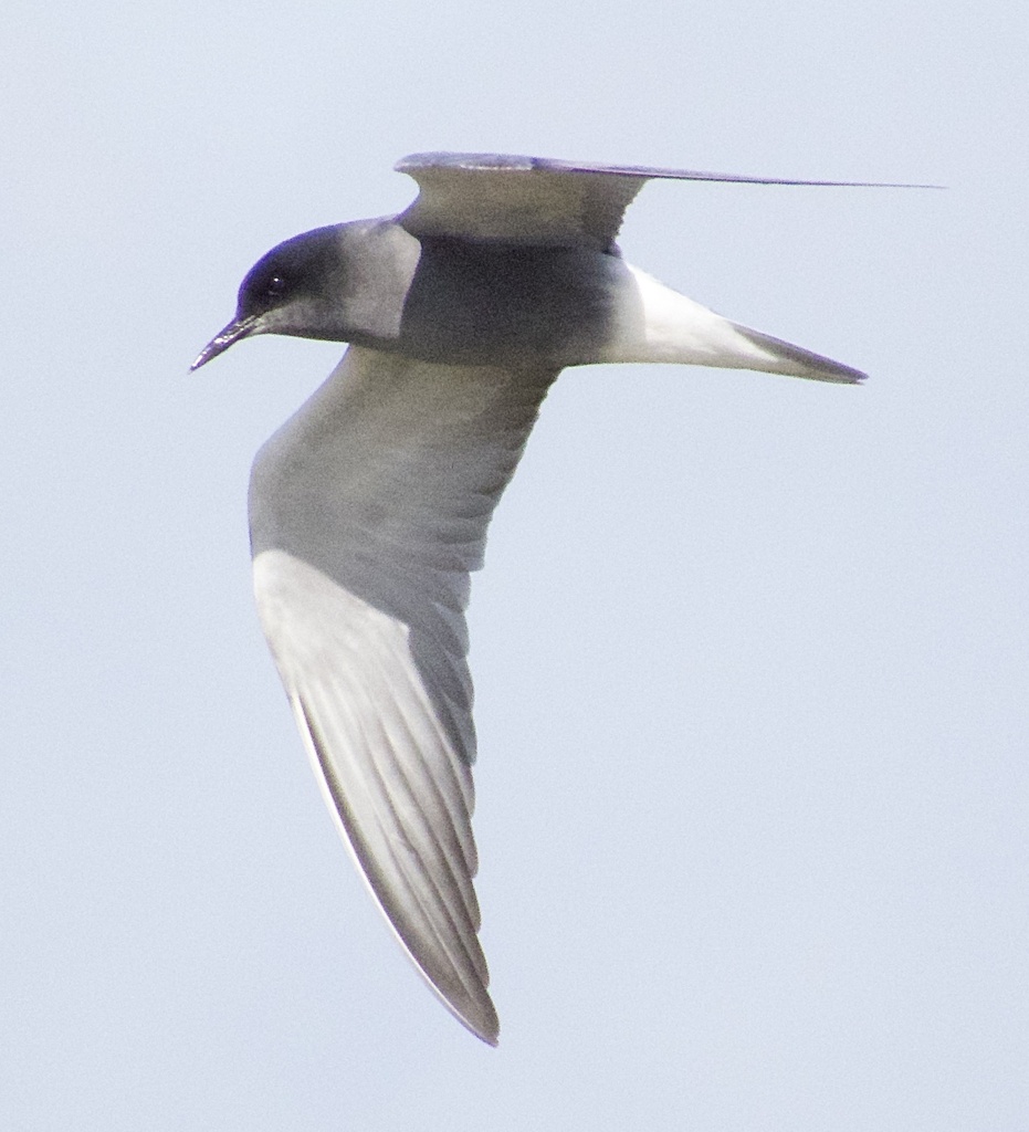
- Black TernChlidonias niger
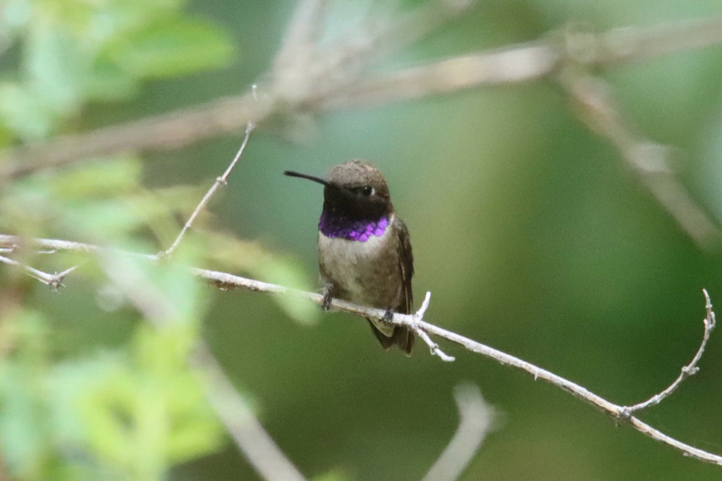
- Black-chinned HummingbirdArchilochus alexandri
- BobolinkDolichonyx oryzivorus
- Bronzed CowbirdMolothrus aeneus
- Black RailLaterallus jamaicensis
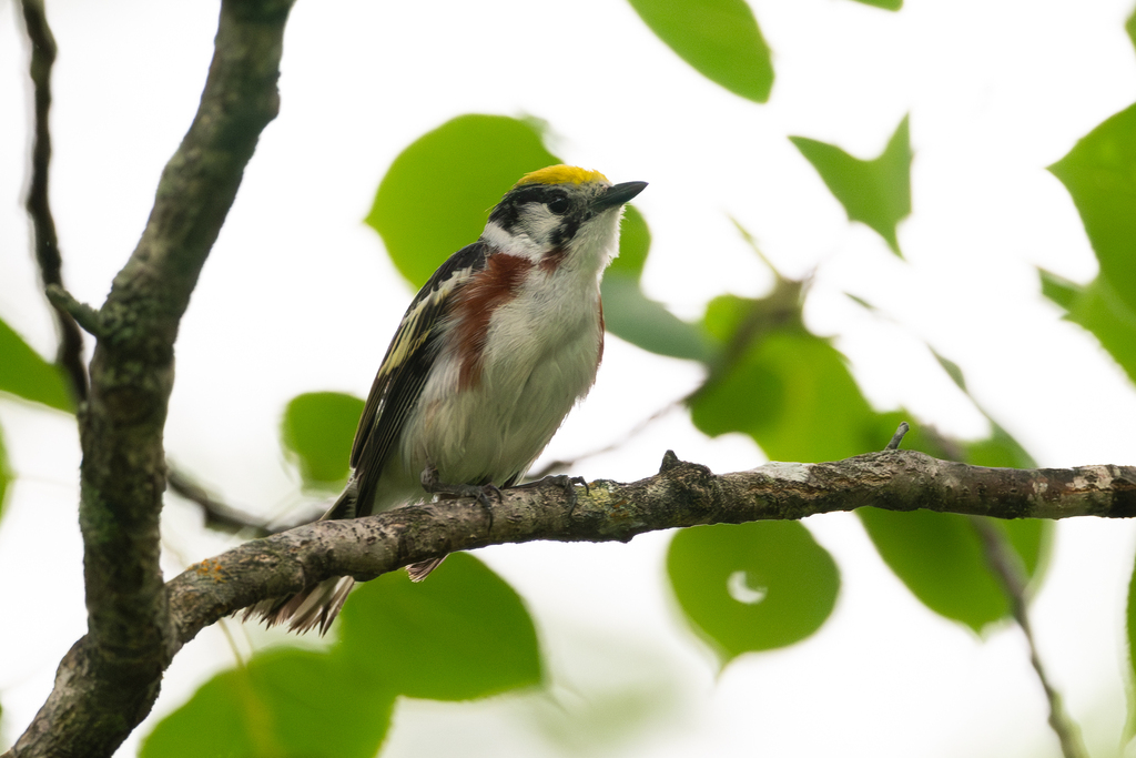
- Chestnut-sided WarblerDendroica pensylvanica
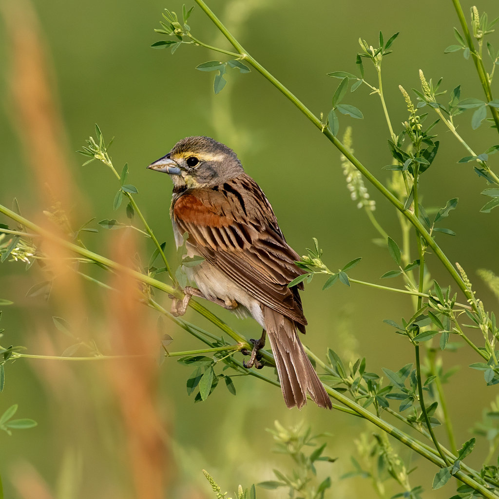
- DickcisselSpiza americana
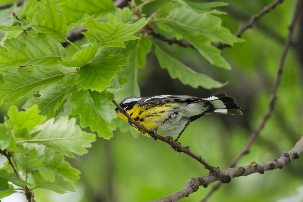
- Magnolia WarblerDendroica magnolia
- Nelson's Sharp-tailed SparrowAmmodramus nelsoni
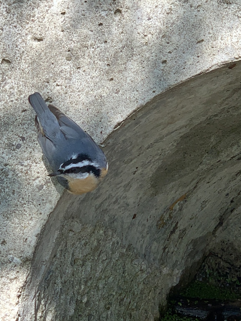
- Red-breasted NuthatchSitta canadensis
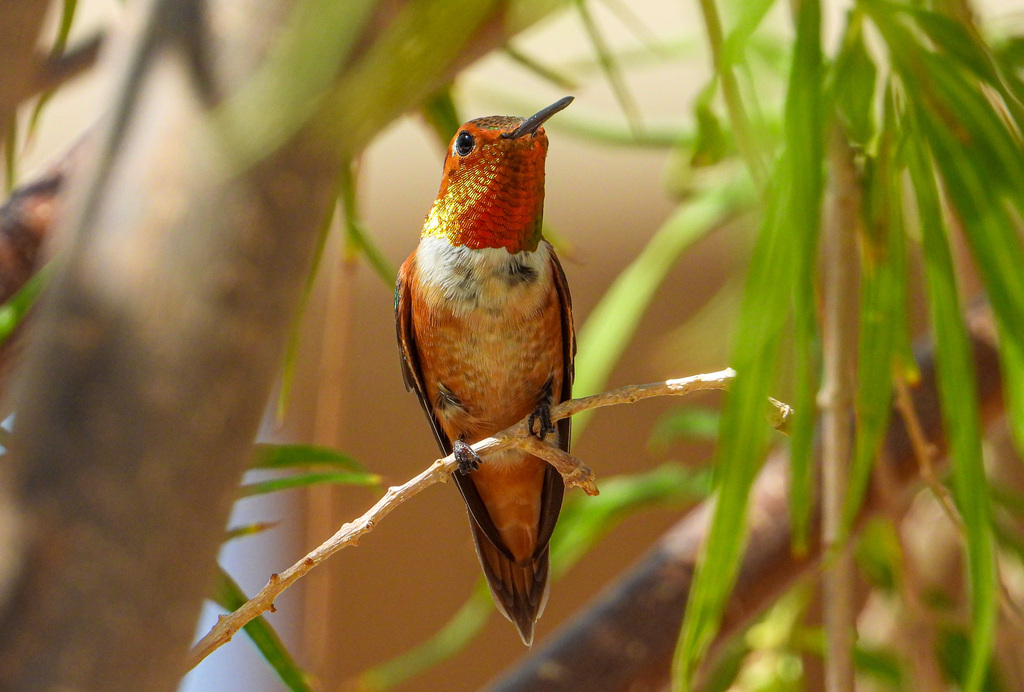
- Rufous HummingbirdSelasphorus rufus
- Sandwich TernThalasseus sandvicensis
Plants 20
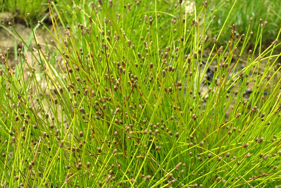
- Slender FimbryFimbristylis autumnalis
- Purple SpikerushEleocharis atropurpurea
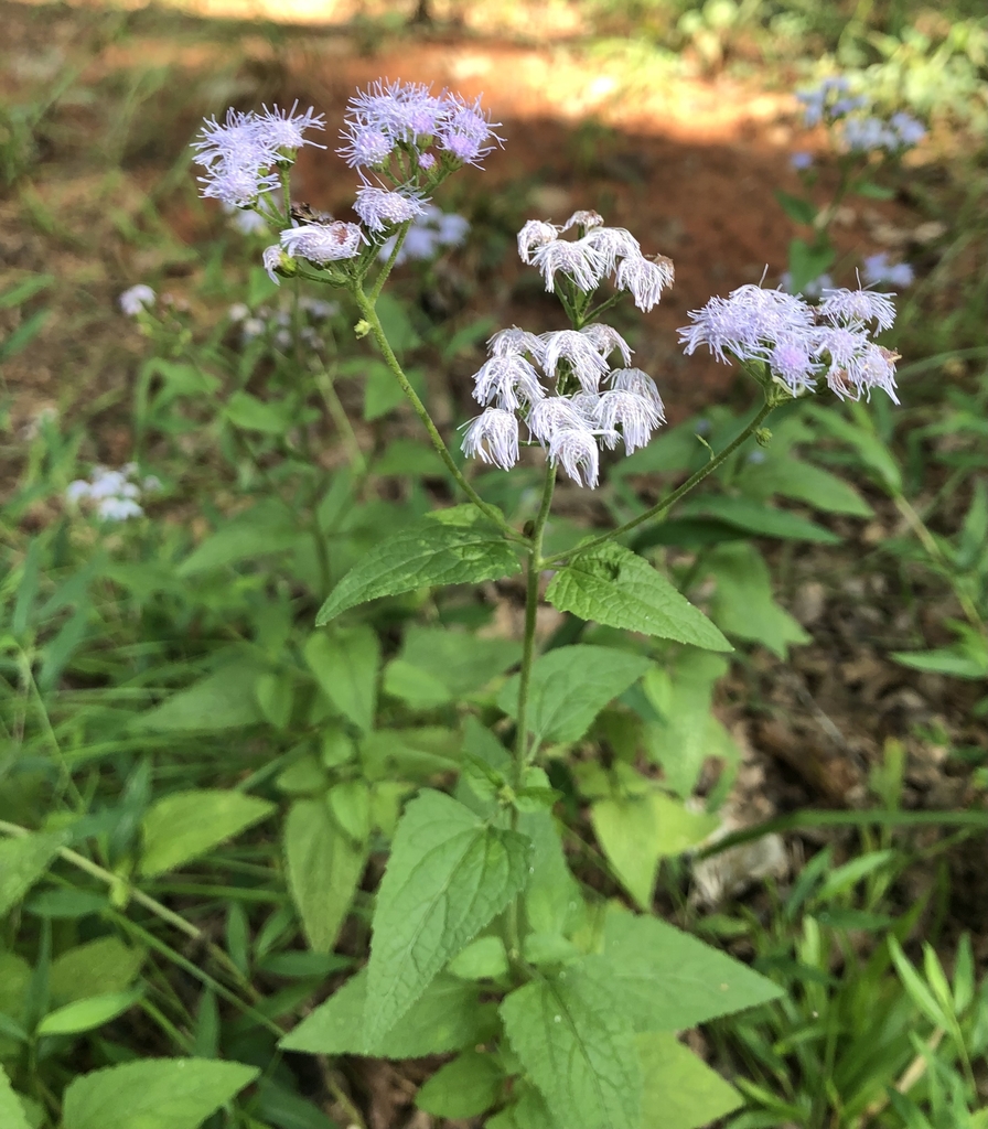
- Blue MistflowerConoclinium coelestinum
- BagpodGlottidium vesicarium
- Tropical FlatsedgeCyperus surinamensis
- Blunt Spike RushEleocharis obtusa
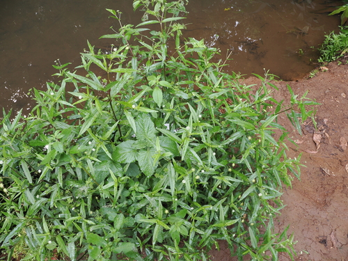
- False DaisyEclipta prostrata
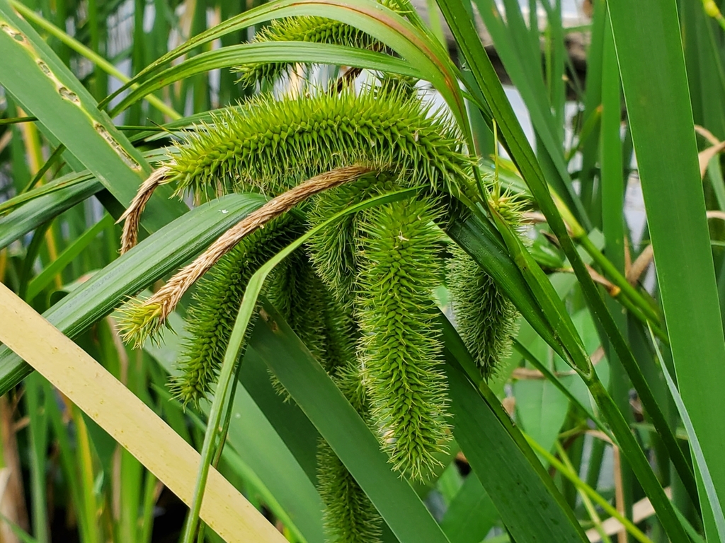
- Bristly SedgeCarex comosa
- Shortbeak BeaksedgeRhynchospora nitens
- Southern Marsh YellowcressRorippa teres
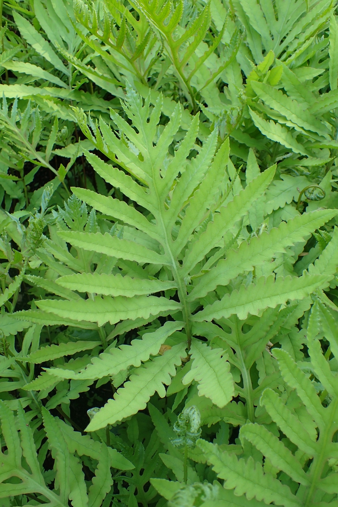
- Sensitive FernOnoclea sensibilis
- Ditch FimbryFimbristylis schoenoides
Sources
- USGS Gap Analysis Project habitat models (2001)
- USGS GAP summer habitat model for Bank Swallow Elevation up to 2,439 m
- USGS Gap Analysis Project range maps (2001), modeled by watershed; migratory gives no dates
- NatureServe Explorer (CC BY 4.0), habitat names
- US Census TIGER/Line counties
- Names follow the USGS Gap Analysis Project (2001)