

Bird
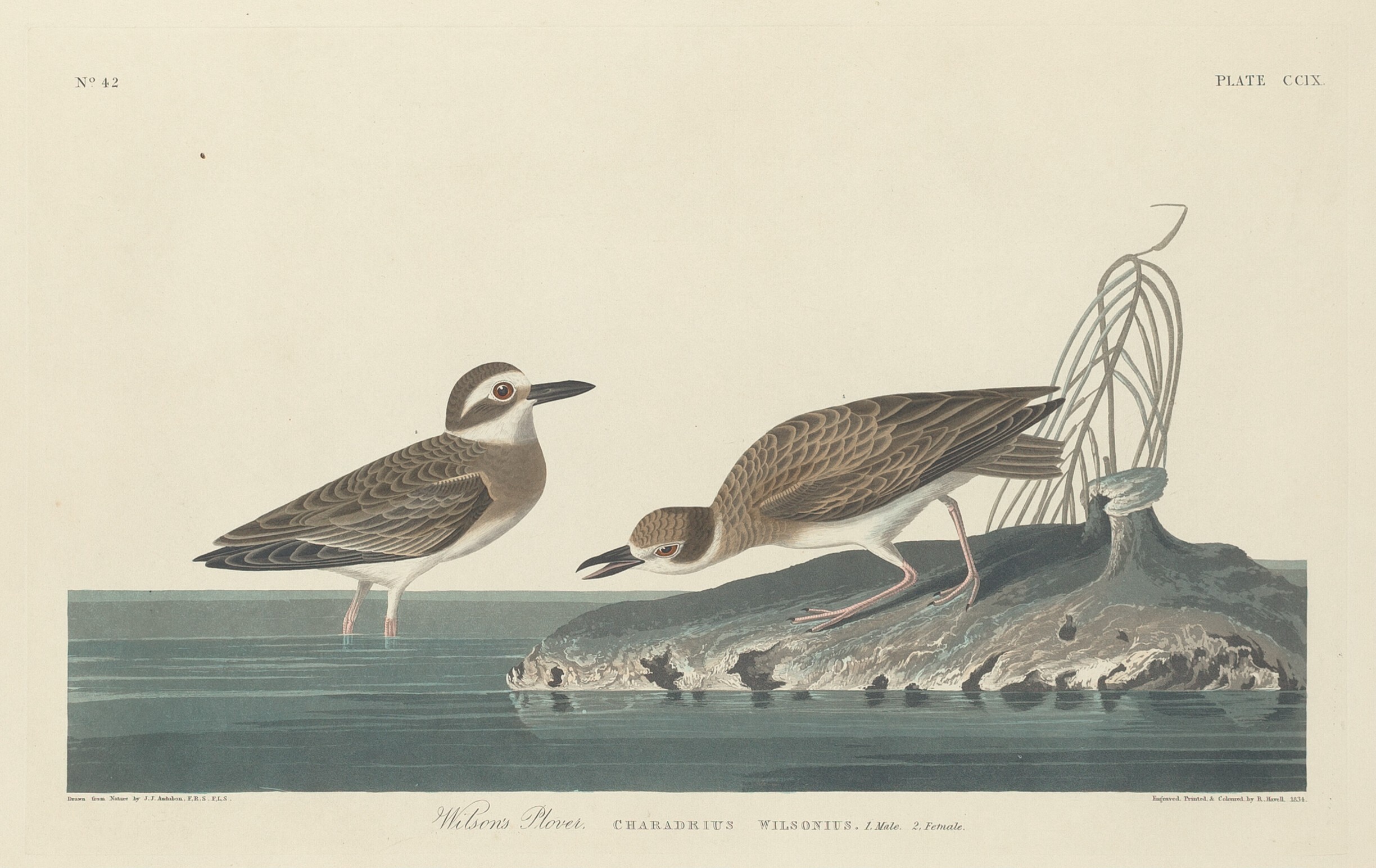
Wilson's Plover
Charadrius wilsonia
Lives in Florida all year and nests here. Found in 44 of 67 counties, across 4 habitats.
- Here
- All year
- Nesting
- Nests here
- Range
- 44 of 67 counties
- Habitats
- 4
At a glance
- Group
- Birds
- Here
- All year
- Nesting
- Nests here
- Range
- 44 of 67 counties
- Habitats
- 4
- Habitat models
- Summer, Winter
Where it lives
The places its habitat model includes. It is not found everywhere a habitat occurs.
Habitats in Florida 4
Each habitat page lists the plants and wildlife also found there.
Open sand of beaches, dunes and the hollows between them.
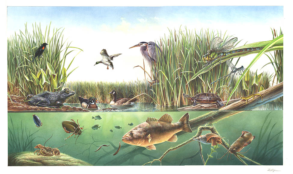
Coastal tidal marshes (salinity not stated)
Tidal marshes of the Atlantic and Gulf coasts where the source does not say whether the water is fresh, brackish or salt. A stated salinity files the marsh under freshwater tidal marshes or salt and brackish marshes instead.
Coastal marshes flooded by salty or brackish tides.
Other habitats in its models (12)
Land cover, or classes with no habitat page in Florida.
- Atlantic Coastal Plain Northern Sandy Beach Summer and winter.
- Unconsolidated Shore (Lake/River/Pond) Summer and winter.
- Unconsolidated Shore Summer and winter.
- Upper Texas Coast Beach Summer and winter.
- Louisiana Beach Summer and winter.
- Texas Coastal Bend Beach Summer and winter.
- Northern Atlantic Coastal Plain Dune and Swale Summer and winter.
- Central and Upper Texas Coast Dune and Coastal Grassland Summer and winter.
- South Texas Dune and Coastal Grassland Summer and winter.
- Atlantic Coastal Plain Embayed Region Tidal Salt and Brackish Marsh Summer and winter.
- Atlantic Coastal Plain Northern Tidal Salt Marsh Summer and winter.
- Mississippi River Bottomland Depression Summer and winter.
Seasons in Florida
- Year-round: nests here, in 26 of 67 counties.
- Summer: nests here, in 20 of 67 counties.
Also found in this habitat
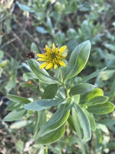
Plants 134
Plants named in NatureServe descriptions of these habitats that grow in Florida. Shared habitat, not food.
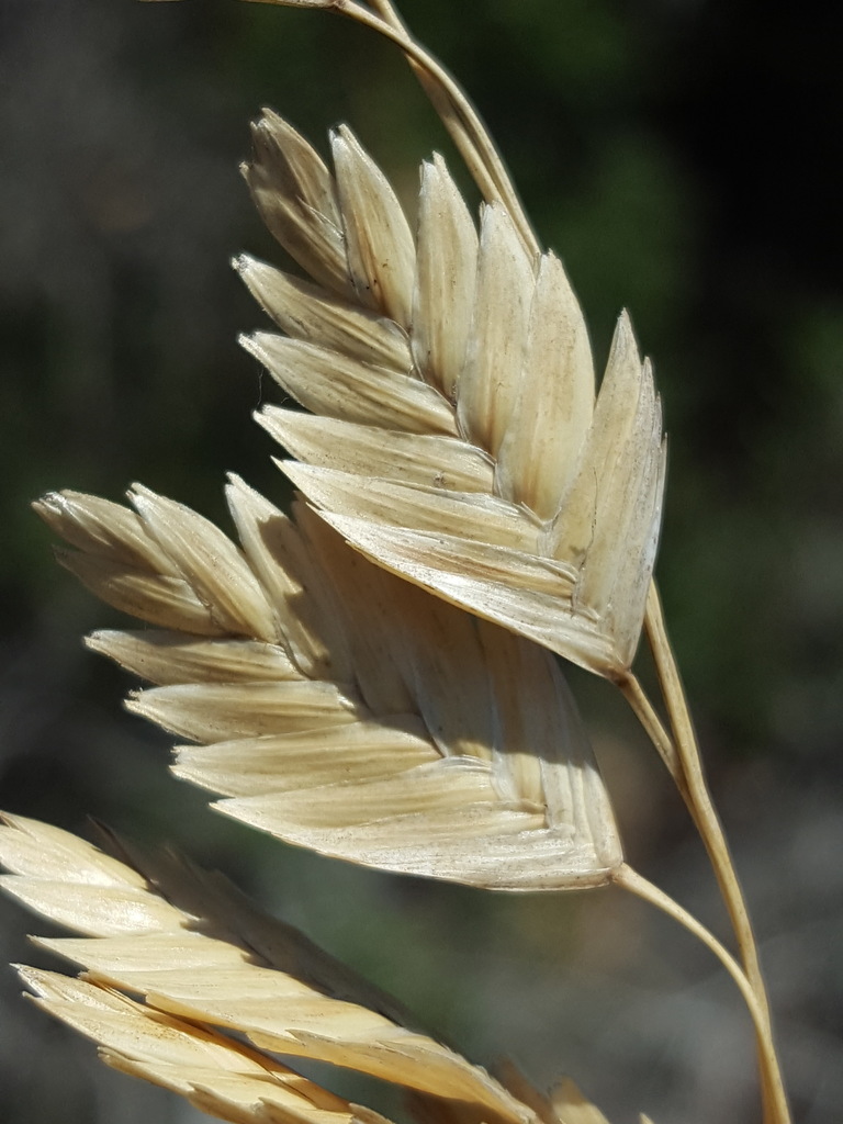
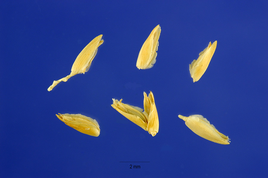
- Sea OatsUniola paniculata
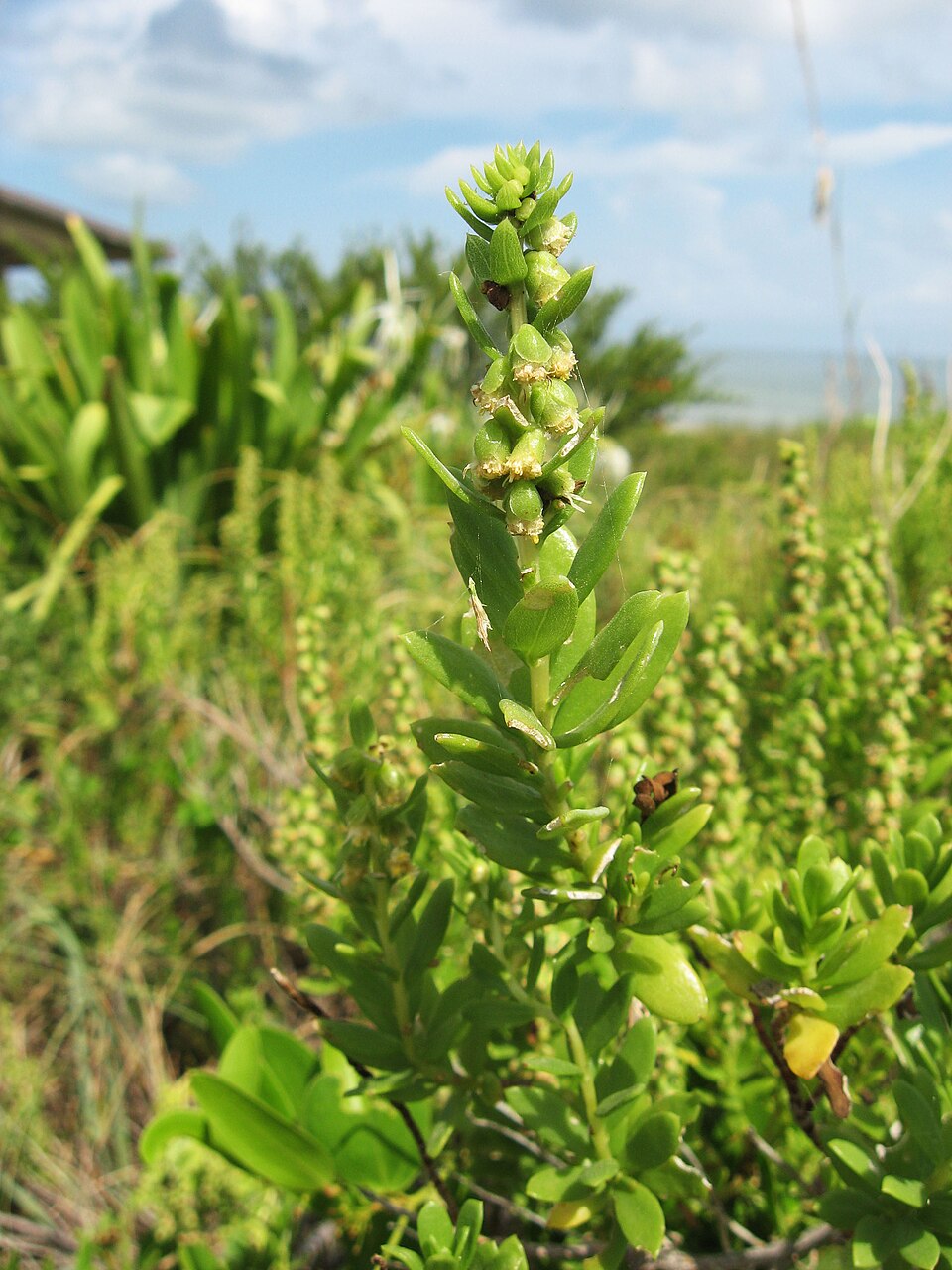
- Dune Marsh-elderIva imbricata
- Seashore SaltgrassDistichlis spicata
- Common WaxmyrtleMorella cerifera
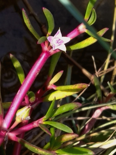
- Shoreline Sea-purslaneSesuvium portulacastrum
- Saltmeadow CordgrassSpartina patens
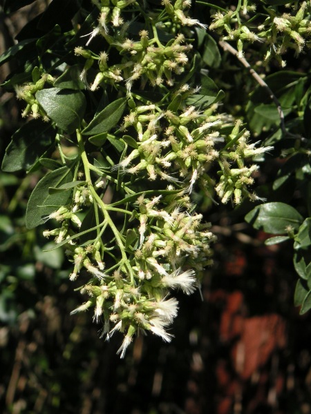
- Groundsel-treeBaccharis halimifolia
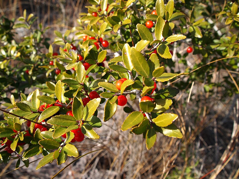
- Yaupon HollyIlex vomitoria
- Black NeedlerushJuncus roemerianus
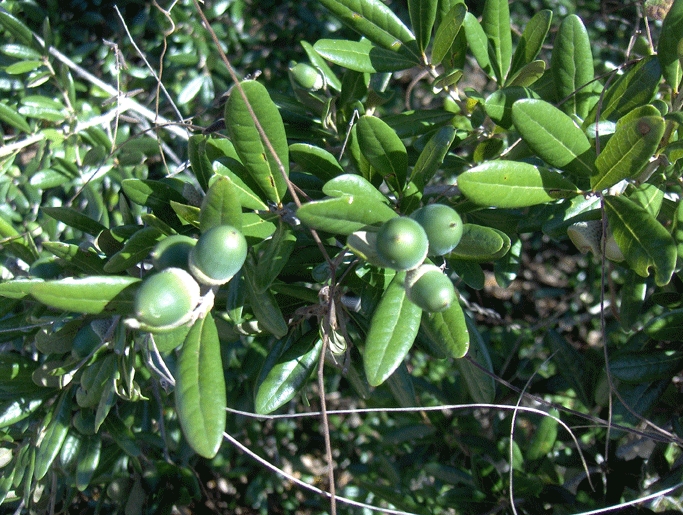
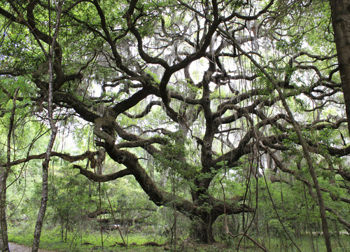
- Sand Live OakQuercus geminata
- Live OakQuercus virginiana
- Common Three Square BulrushSchoenoplectus pungens
- Serenoa repensSerenoa repens
- Saltmarsh CordgrassSpartina alterniflora
- Tropical WaxweedCuphea aspera
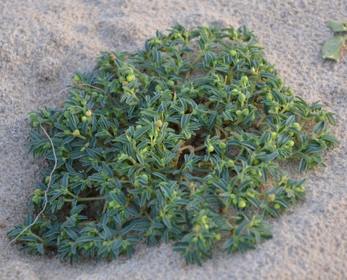
- Northern Seaside SpurgeEuphorbia polygonifolia
- Muhlenbergia capillaris var. filipesMuhlenbergia capillaris var. filipes
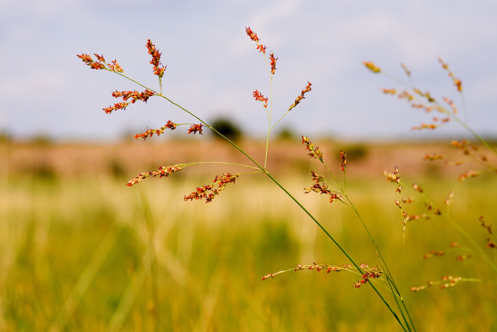
- SwitchgrassPanicum virgatum
- Violet ButterwortPinguicula ionantha
- Seashore DropseedSporobolus virginicus
- Archidium minusArchidium minus
- Batis maritimaBatis maritima
- Sea OxeyeBorrichia frutescens
- Coastal SearocketCakile lanceolata

Wildlife 198
Other animals whose habitat models include the same habitats in Florida. Not sighting records.
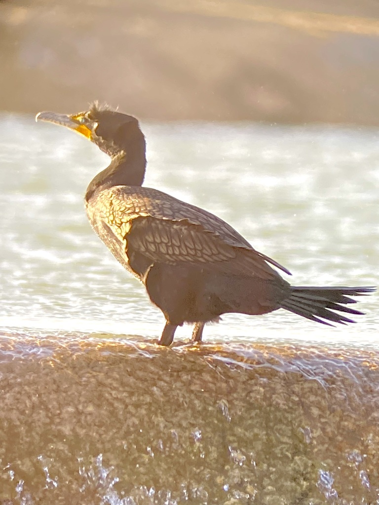
- Double-crested CormorantPhalacrocorax auritus
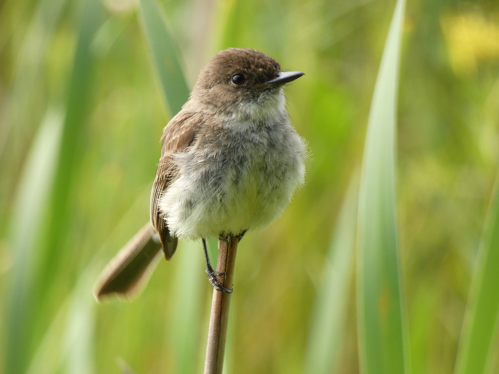
- Eastern PhoebeSayornis phoebe
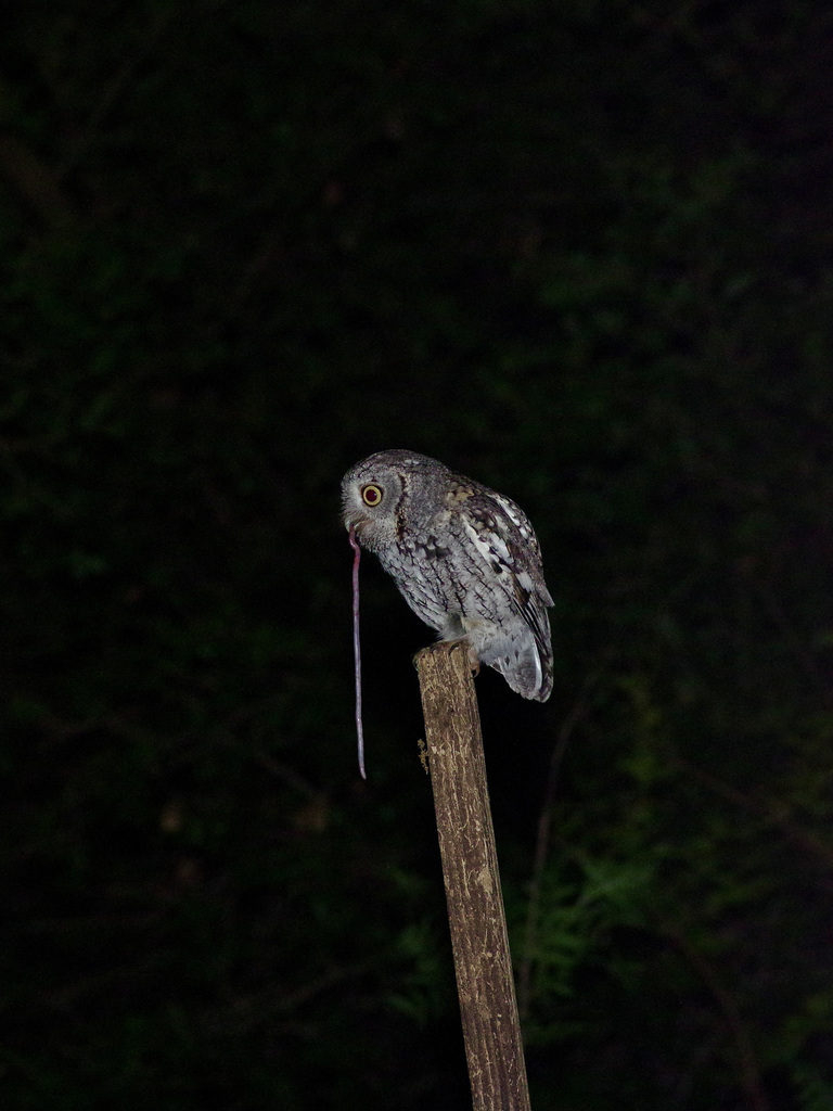
- Eastern Screech-owlMegascops asio
- Field SparrowSpizella pusilla
- Florida Burrowing OwlAthene cunicularia floridana
- Grasshopper SparrowAmmodramus savannarum
- Great Black-backed GullLarus marinus
- Great Crested FlycatcherMyiarchus crinitus
- Horned LarkEremophila alpestris
- Indigo BuntingPasserina cyanea
- Lapland LongspurCalcarius lapponicus
- Least FlycatcherEmpidonax minimus
- Loggerhead ShrikeLanius ludovicianus
- Masked BoobySula dactylatra
- Northern BobwhiteColinus virginianus
- Pine SiskinCarduelis pinus
- Prairie WarblerDendroica discolor
- Purple MartinProgne subis
- Red-headed WoodpeckerMelanerpes erythrocephalus
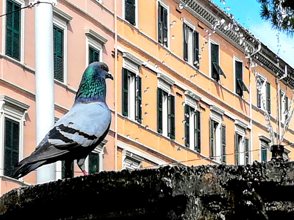
- Rock PigeonColumba livia
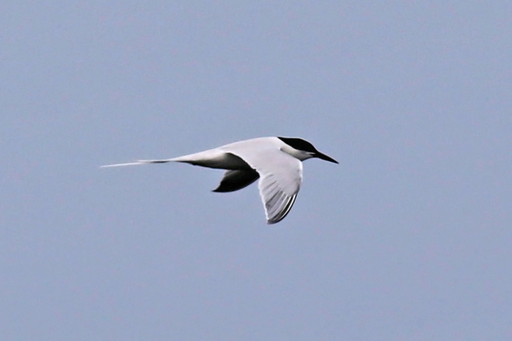
- Roseate TernSterna dougallii
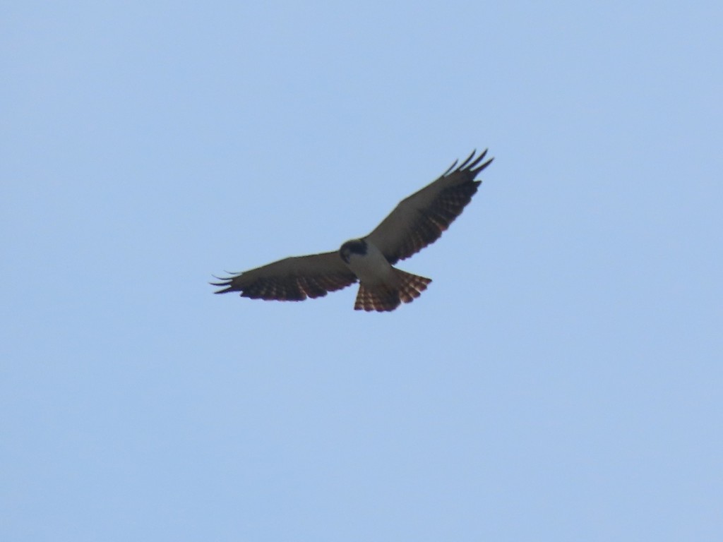
- Short-tailed HawkButeo brachyurus
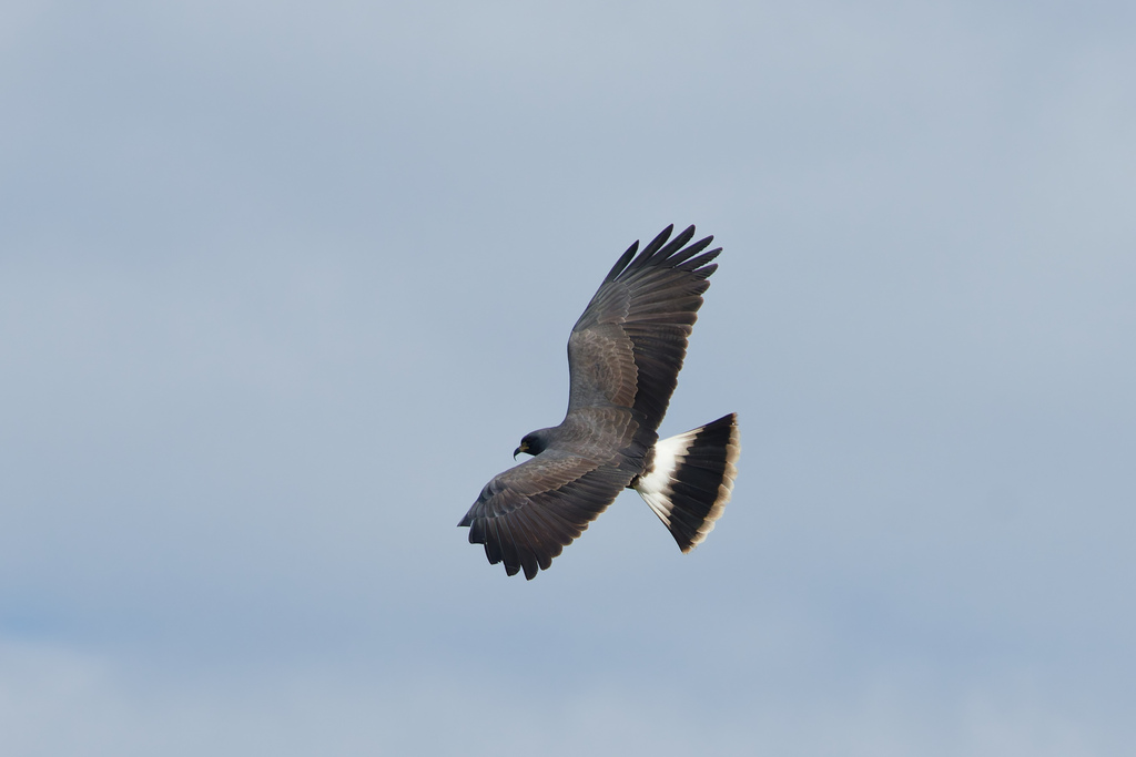
- Snail KiteRostrhamus sociabilis
- Snowy PloverCharadrius nivosus
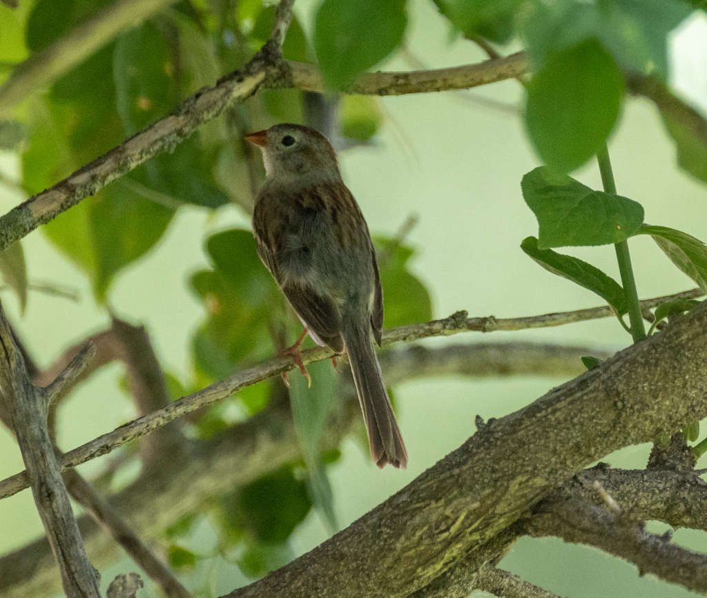
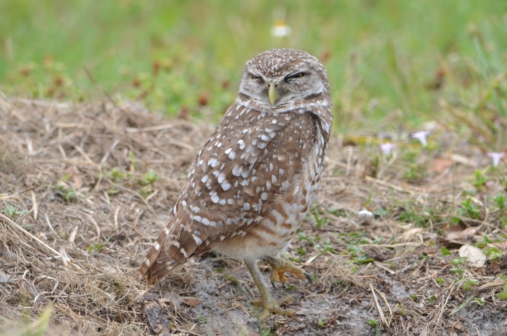
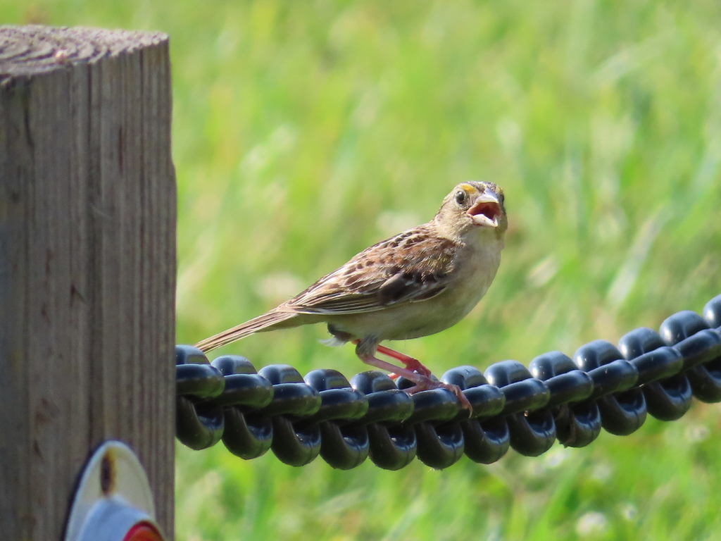
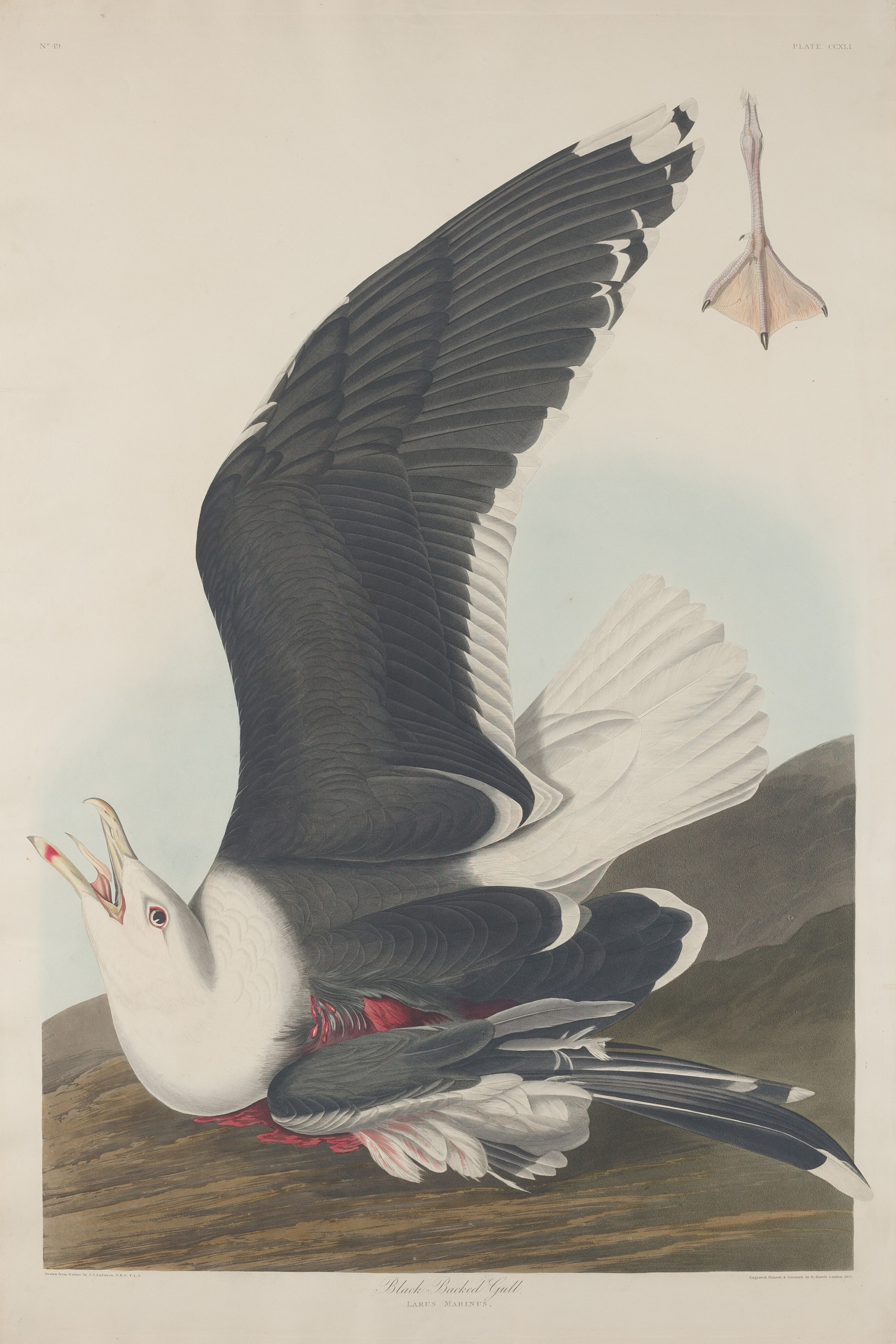
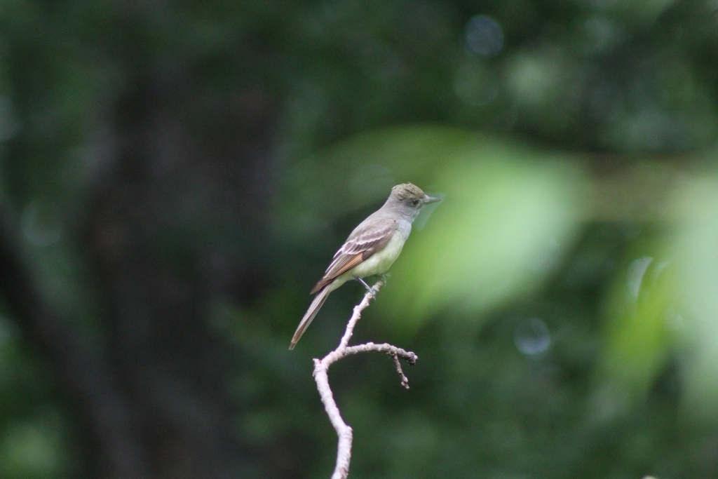
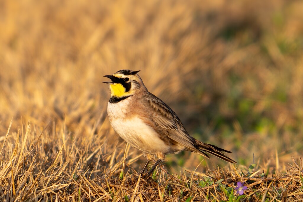
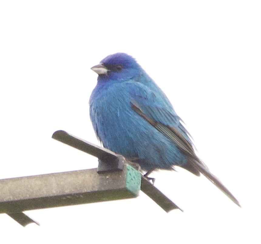
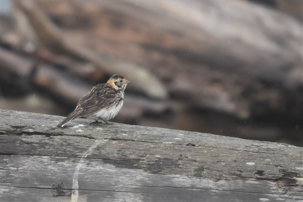
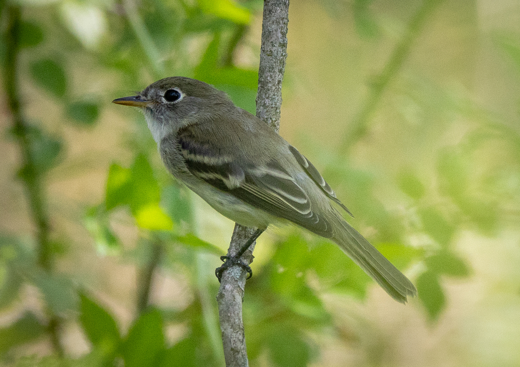
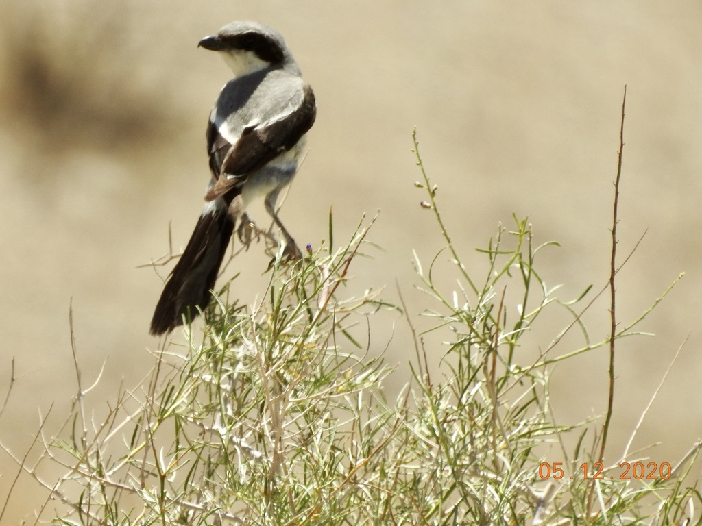
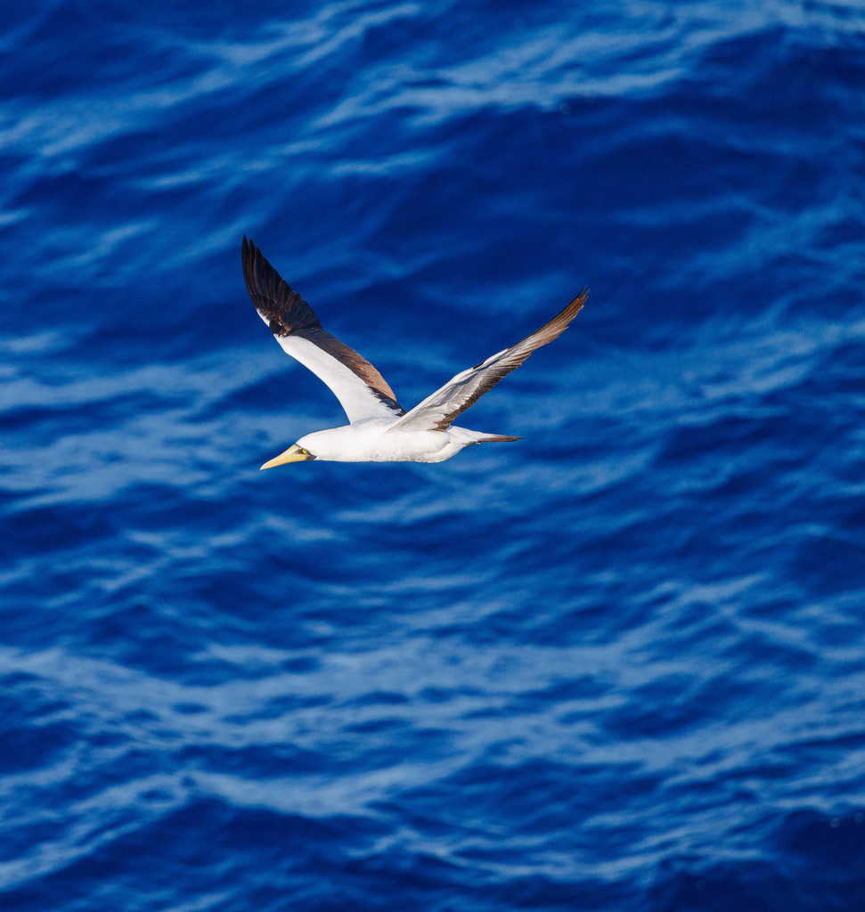
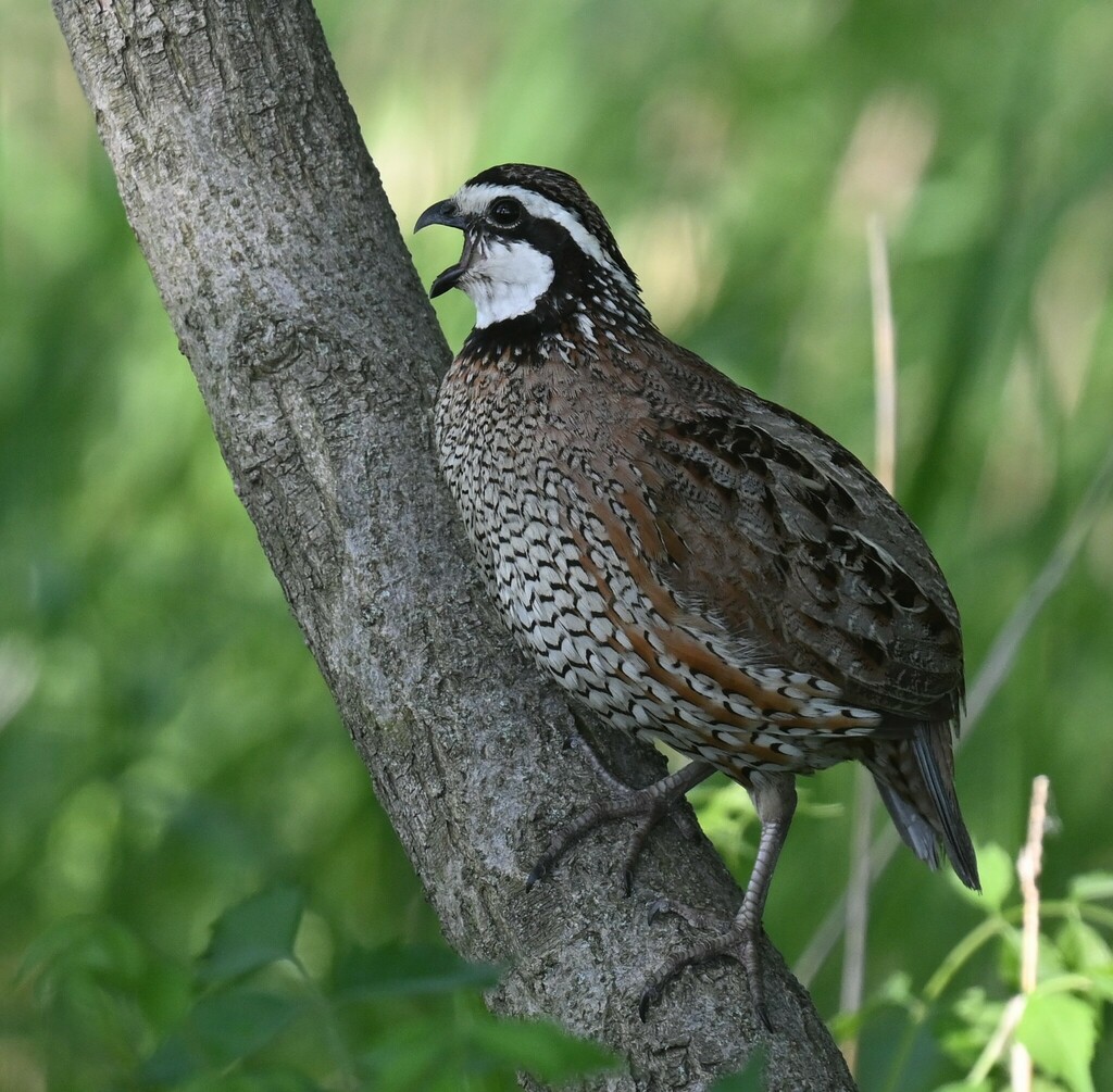
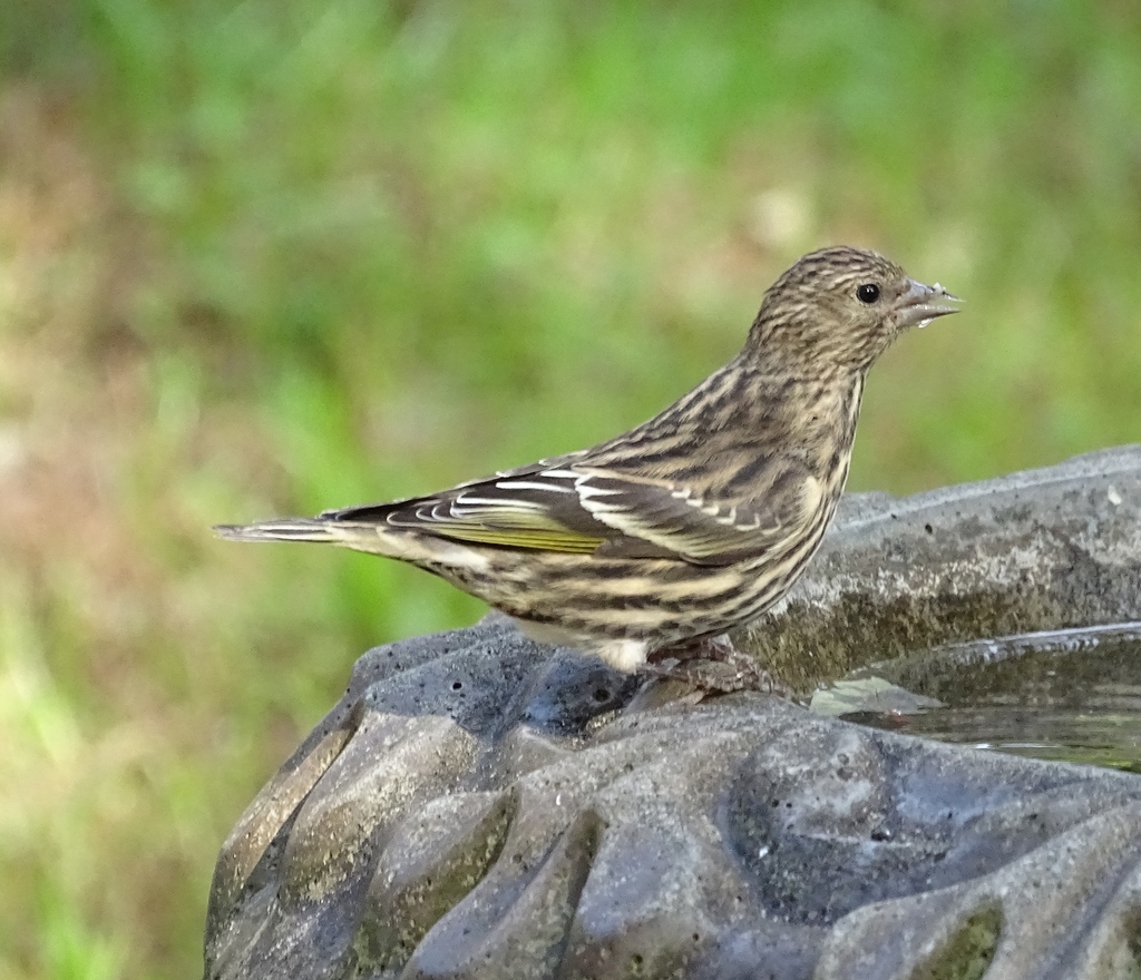
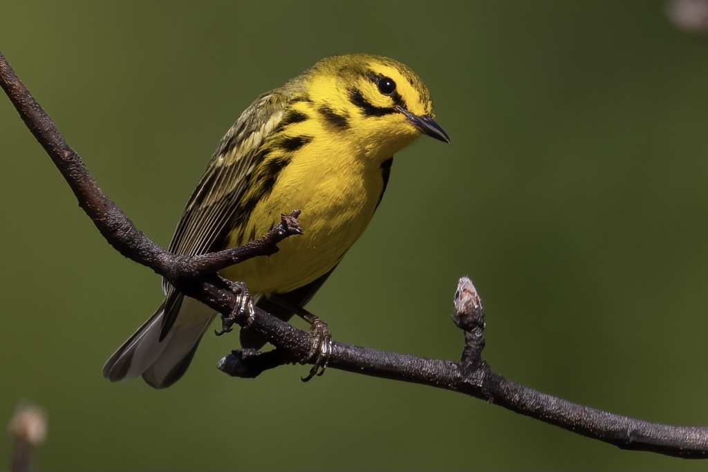
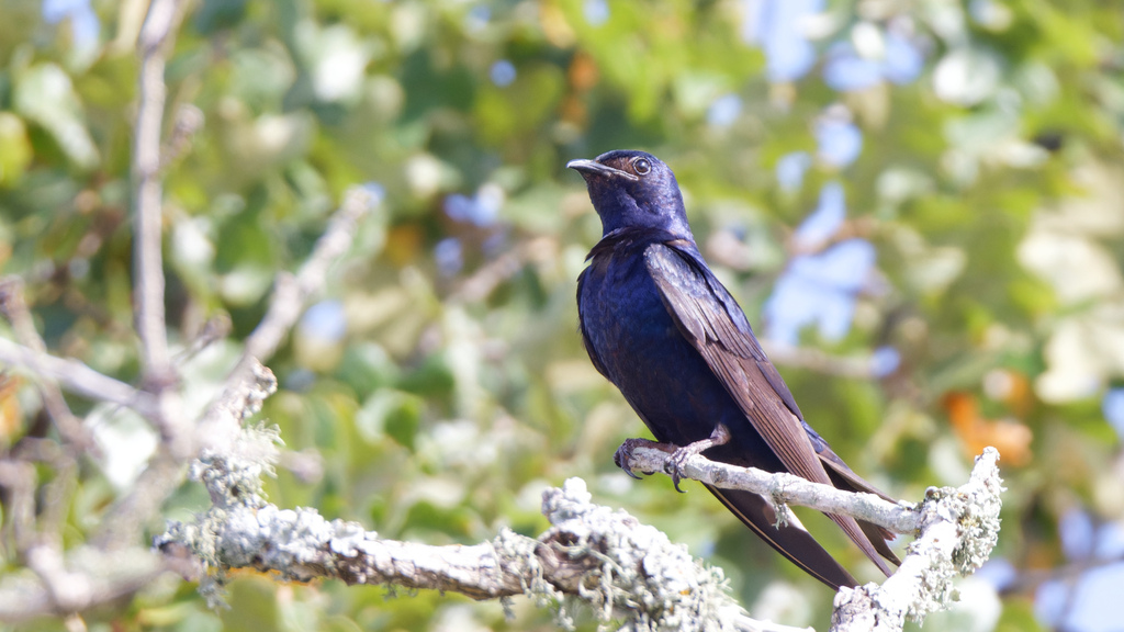
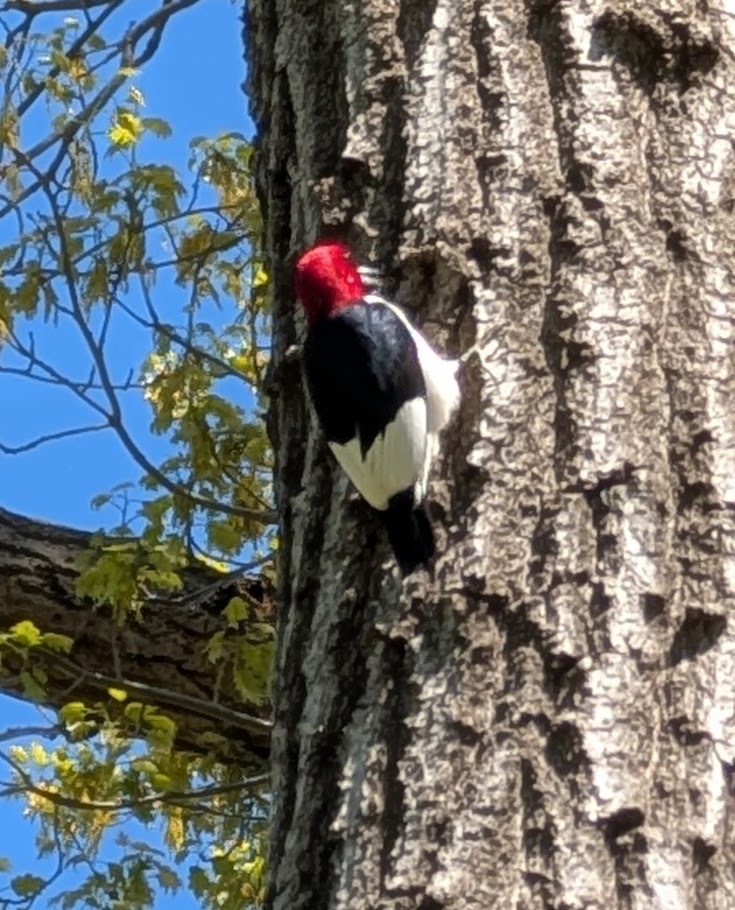
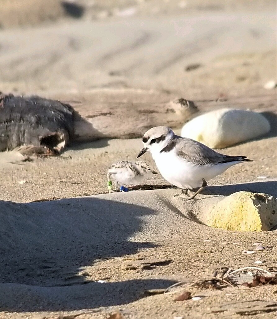
NatureServe Explorer, CC BY 4.0. USGS Gap Analysis Project habitat models.
Sources
- USGS Gap Analysis Project habitat models (2001)
- USGS GAP winter habitat model for Wilson's Plover
- USGS Gap Analysis Project range maps (2001), modeled by watershed; migratory gives no dates
- NatureServe Explorer (CC BY 4.0), habitat names
- US Census TIGER/Line counties
- Names follow the USGS Gap Analysis Project (2001)