

Bird
White-faced Ibis
Plegadis chihi
Names as given by USGS GAP.
Year-round in Florida, breeding, in the USGS range maps. Its habitat models include 7 habitats found here.
- Seasons here
- Year-round
- Breeding
- Breeding
- Range
- 3 of 67 counties
- Habitats
- 7
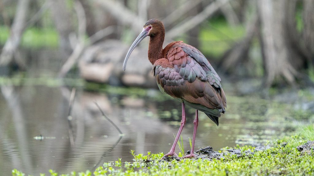
At a glance
- Group
- Birds
- Seasons in Florida
- Year-round
- Breeding
- Breeding
- Counties in known range
- 3 of 67
- Habitat models
- Summer, Winter
Where it lives
Southeast habitat models (USGS, 2001 land cover). The bird is not in every place a habitat occurs. USGS Gap Analysis Project habitat models Summer model Winter model
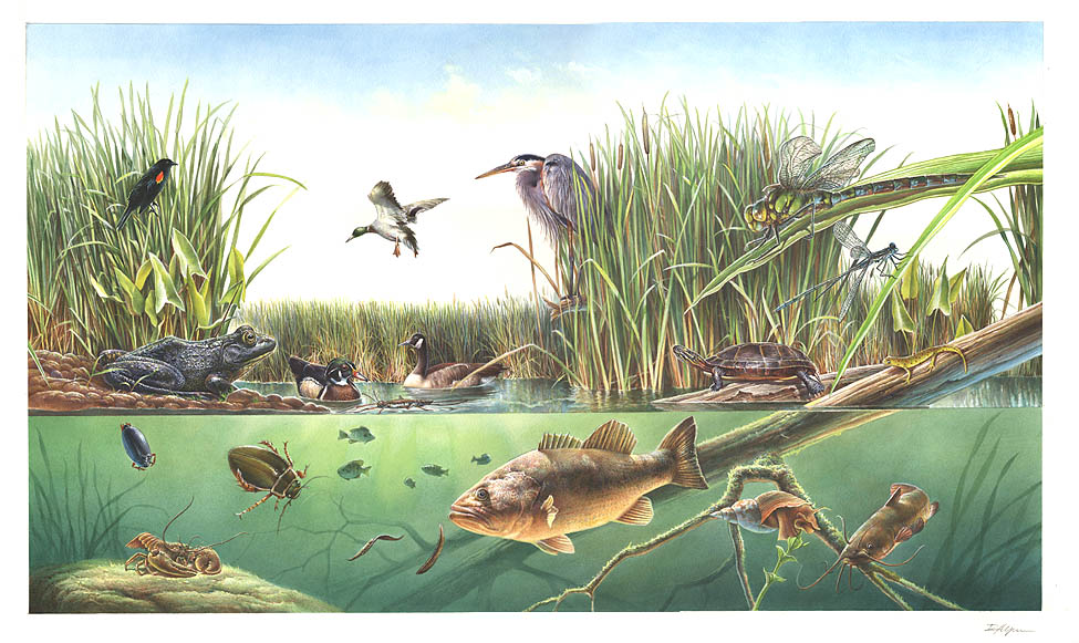
Habitats in Florida 7
Each habitat page lists the plants and wildlife also found there. Shared habitat, not food.
Open sand of beaches, dunes and the hollows between them.
Coastal tidal marshes (salinity not stated)
Tidal marshes of the Atlantic and Gulf coasts where the source does not say whether the water is fresh, brackish or salt. A stated salinity files the marsh under freshwater tidal marshes or salt and brackish marshes instead.
Disturbed and introduced wetlands
Wet ground taken over by weedy or introduced plants after disturbance, such as common reed, Chinese tallow or tamarisk stands; the upland counterpart is roadsides, fields and disturbed ground.
Coastal marshes flooded by salty or brackish tides.
Salt and brackish open water of sounds, bays and estuaries, with the mud and sand flats and seagrass beds that tides cover and uncover; the vegetated marsh is salt and brackish marshes.
Roadsides, fields and disturbed ground
Ground opened by people: roadsides, old fields, pastures, fencerows and lots.
Other habitats in its models (40)
Land cover, or classes with no habitat page in Florida.
- Developed, Low Intensity Summer and winter. Only within 4,000 m of water
- Open Water (Aquaculture) Summer and winter
- Unconsolidated Shore (Lake/River/Pond) Summer and winter
- Unconsolidated Shore Summer and winter
- Inter-Mountain Basins Playa Summer
- Colorado Plateau Mixed Low Sagebrush Shrubland Summer. Only within 4,000 m of water
- Rocky Mountain Subalpine-Montane Mesic Meadow Summer. Only within 4,000 m of water
- Temperate Pacific Freshwater Aquatic Bed Summer and winter. Only within 4,000 m of water
- North American Arid West Emergent Marsh Summer and winter
- Temperate Pacific Freshwater Emergent Marsh Summer and winter
- Inter-Mountain Basins Interdunal Swale Wetland Summer
- North Pacific Bog and Fen Summer
- Mediterranean California Subalpine-Montane Fen Summer and winter
- Mediterranean California Serpentine Fen Summer and winter
- Eastern Great Plains Wet Meadow, Prairie, and Marsh Summer and winter
- Rocky Mountain Alpine-Montane Wet Meadow Summer
- Temperate Pacific Montane Wet Meadow Summer and winter
- Columbia Plateau Silver Sagebrush Seasonally Flooded Shrub-Steppe Summer. Only within 4,000 m of water
- Northern Rocky Mountain Wooded Vernal Pool Summer
- Great Plains Prairie Pothole Summer
- Western Great Plains Depressional Wetland Systems Summer
- Western Great Plains Open Freshwater Depression Wetland Summer
- Columbia Plateau Vernal Pool Summer
- Northern California Claypan Vernal Pool Summer and winter
- Western Great Plains Closed Depression Wetland Summer
- Western Great Plains Saline Depression Wetland Summer
- Inter-Mountain Basins Alkaline Closed Depression Summer
- California Central Valley Riparian Woodland and Shrubland Summer and winter
- Inter-Mountain Basins Greasewood Flat Summer. Only within 4,000 m of water
- Western Great Plains Floodplain Summer
- Northern Rocky Mountain Lower Montane Riparian Woodland and Shrubland Summer
- Rocky Mountain Lower Montane Riparian Woodland and Shrubland Summer
- Northwestern Great Plains Floodplain Summer
- Great Basin Foothill and Lower Montane Riparian Woodland and Shrubland Summer
- North American Warm Desert Lower Montane Riparian Woodland and Shrubland Summer and winter
- North American Warm Desert Riparian Mesquite Bosque Summer and winter
- North American Warm Desert Riparian Woodland and Shrubland Summer and winter
- Rocky Mountain Subalpine-Montane Riparian Shrubland Summer
- Northwestern Great Plains Riparian Summer
- Western Great Plains Riparian Woodland and Shrubland Summer
Model settings
Settings in the USGS model, not field measurements.
- Summer model: Elevation 0 to 1,680 m
- Winter model: Elevation 0 to 1,680 m
Habitat names: NatureServe Explorer, CC BY 4.0.
Seasons in Florida
Modeled range from USGS maps (2001), by watershed. Not sighting records. Migratory gives no dates. USGS Gap Analysis Project range maps
- Year-round. Breeding and nonbreeding. Range includes 3 of 67 counties
Also found in this habitat
Plants 53
Plants named in NatureServe descriptions of these habitats that grow in Florida. Shared habitat, not food.
- Common WaxmyrtleMorella cerifera
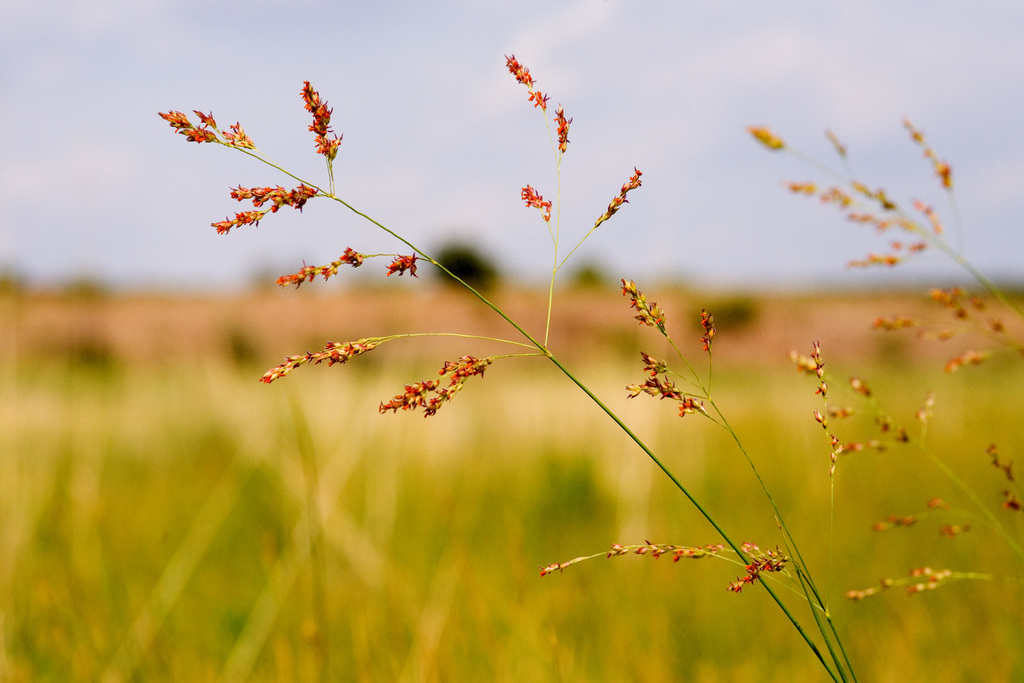
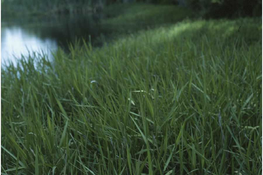
- SwitchgrassPanicum virgatum
- Violet ButterwortPinguicula ionantha
- Common Three Square BulrushSchoenoplectus pungens
- Saltmeadow CordgrassSpartina patens
- Groundsel-treeBaccharis halimifolia
- American BlueheartsBuchnera americana
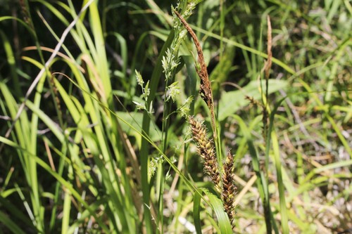
- Shoreline SedgeCarex hyalinolepis
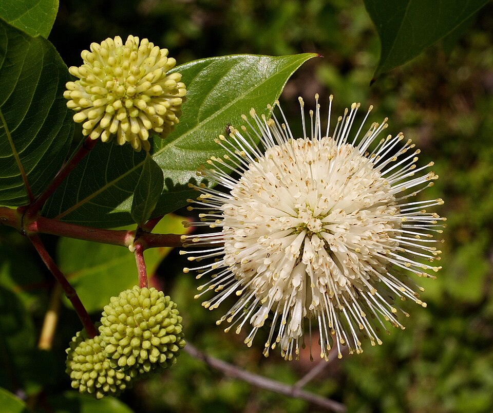
- ButtonbushCephalanthus occidentalis
- Tropical WaxweedCuphea aspera
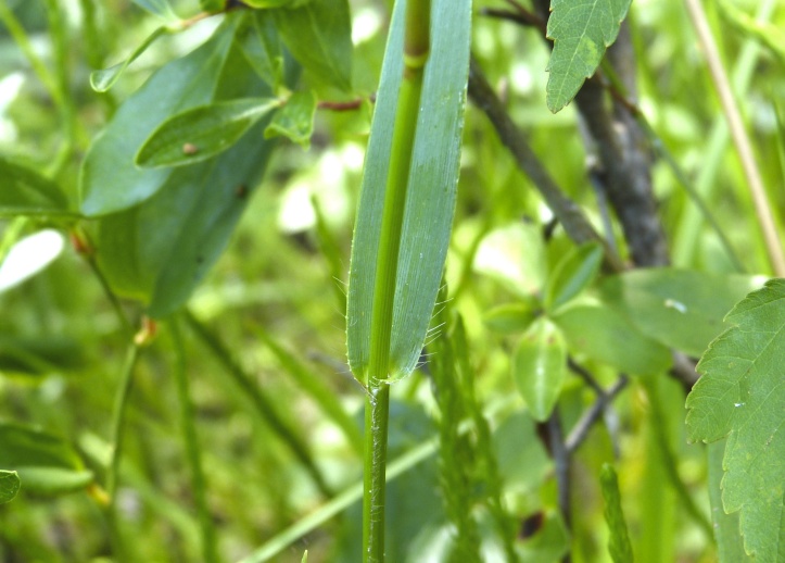
- Erectleaf WitchgrassDichanthelium erectifolium
- Seashore SaltgrassDistichlis spicata
- Slim SpikerushEleocharis elongata
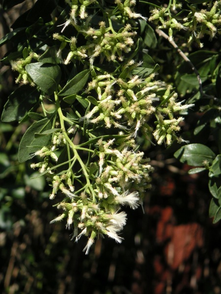
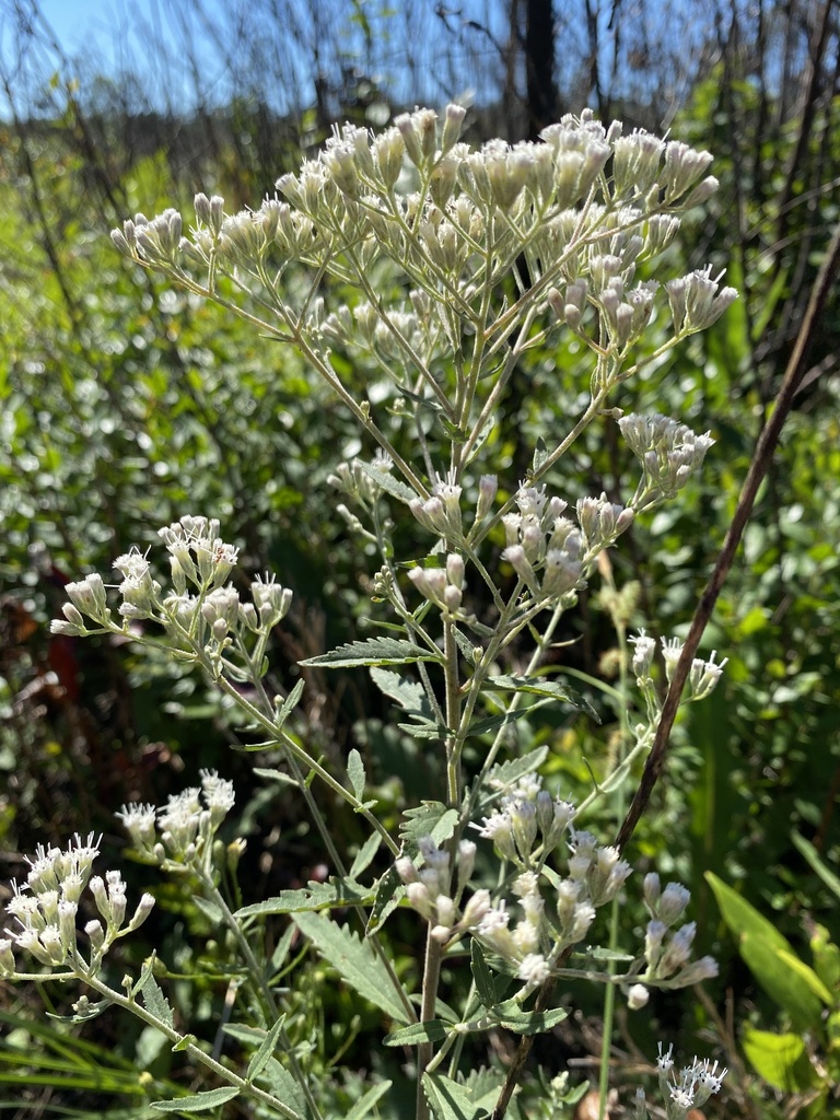
- Semaphore ThoroughwortEupatorium mikanioides
- Florida ThoroughwortEupatorium × anomalum
- Fimbristylis carolinianaFimbristylis caroliniana
- Fimbristylis castaneaFimbristylis spadicea
- Fuirena scirpoideaFuirena scirpoidea
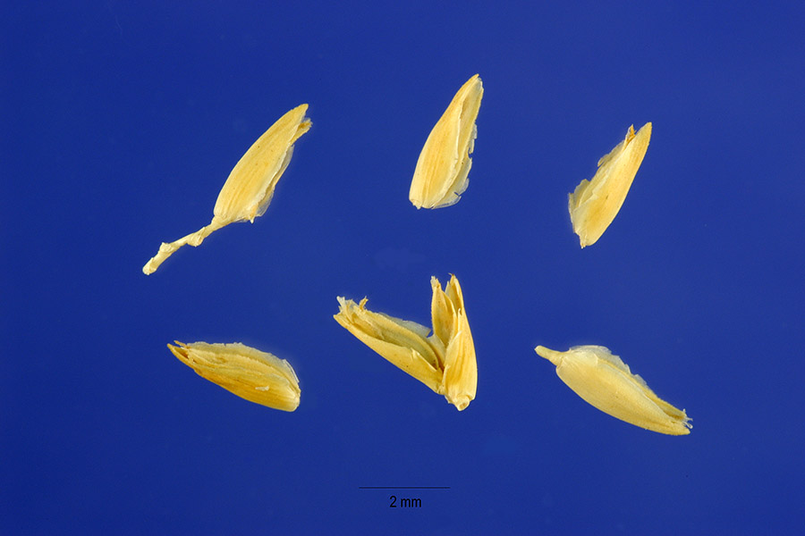
- MaidencaneHymenachne hemitomon
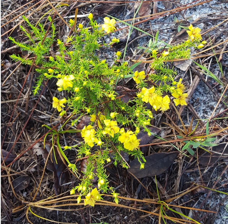
- Atlantic St. John's-wortHypericum tenuifolium
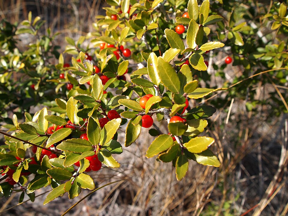
- Yaupon HollyIlex vomitoria
- Dune Marsh-elderIva imbricata
- Black NeedlerushJuncus roemerianus
- Engler's BogbuttonsLachnocaulon engleri

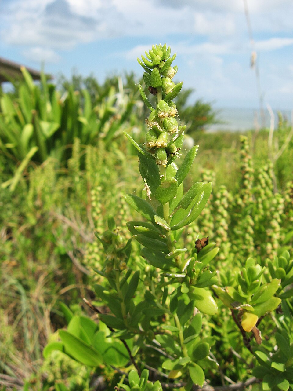
Wildlife 276
Other animals whose habitat models include the same habitats in Florida. Not sighting records.
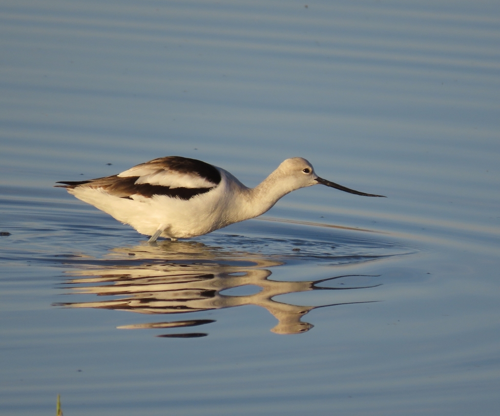
- American AvocetRecurvirostra americana
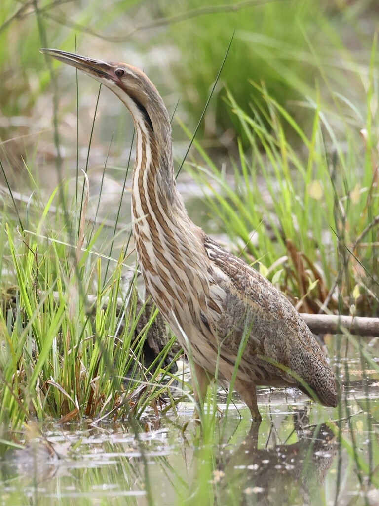
- American BitternBotaurus lentiginosus
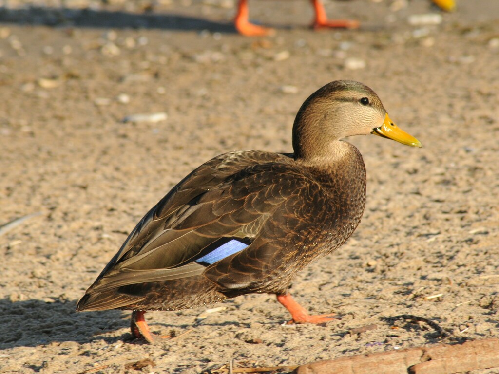
- American Black DuckAnas rubripes
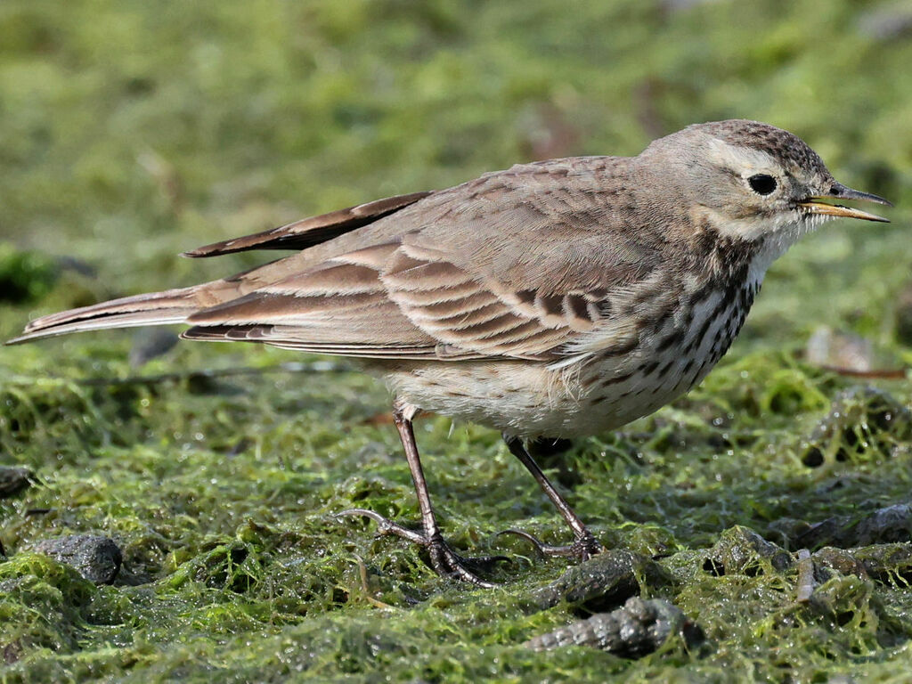
- American PipitAnthus rubescens
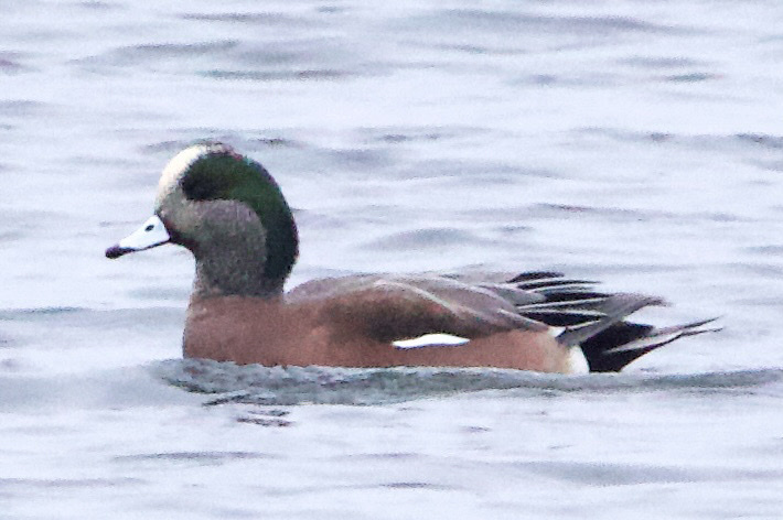
- American WigeonAnas americana
- Bank SwallowRiparia riparia
- Black-crowned Night-heronNycticorax nycticorax
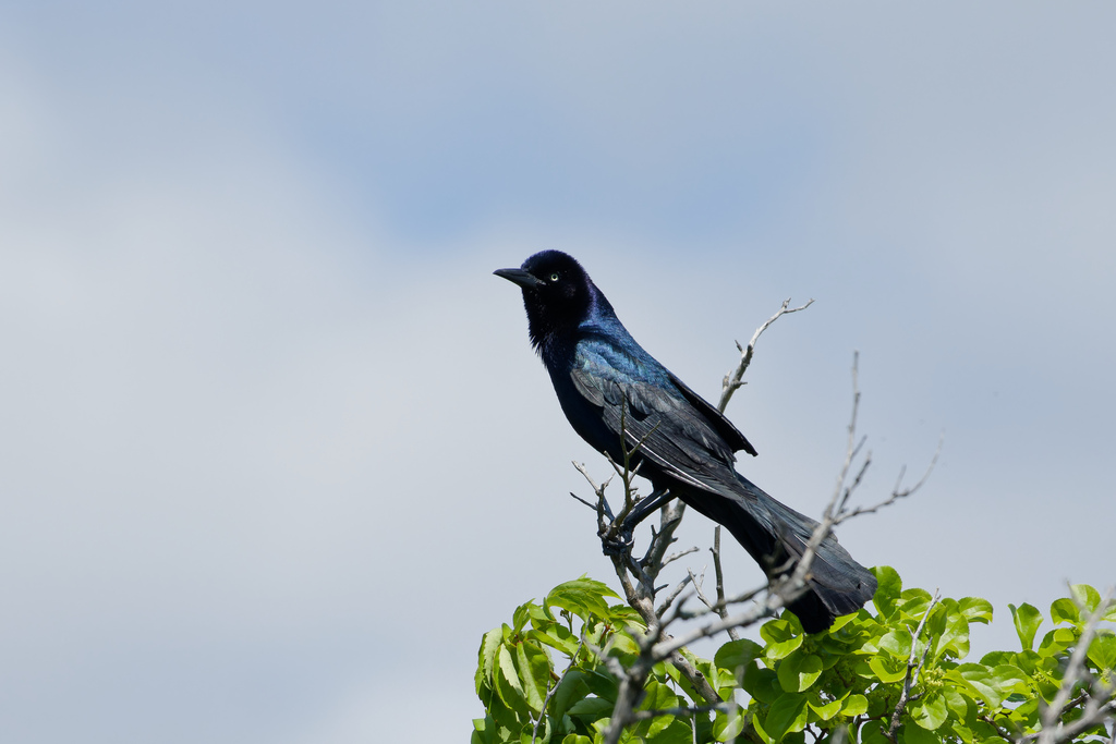
- Boat-tailed GrackleQuiscalus major
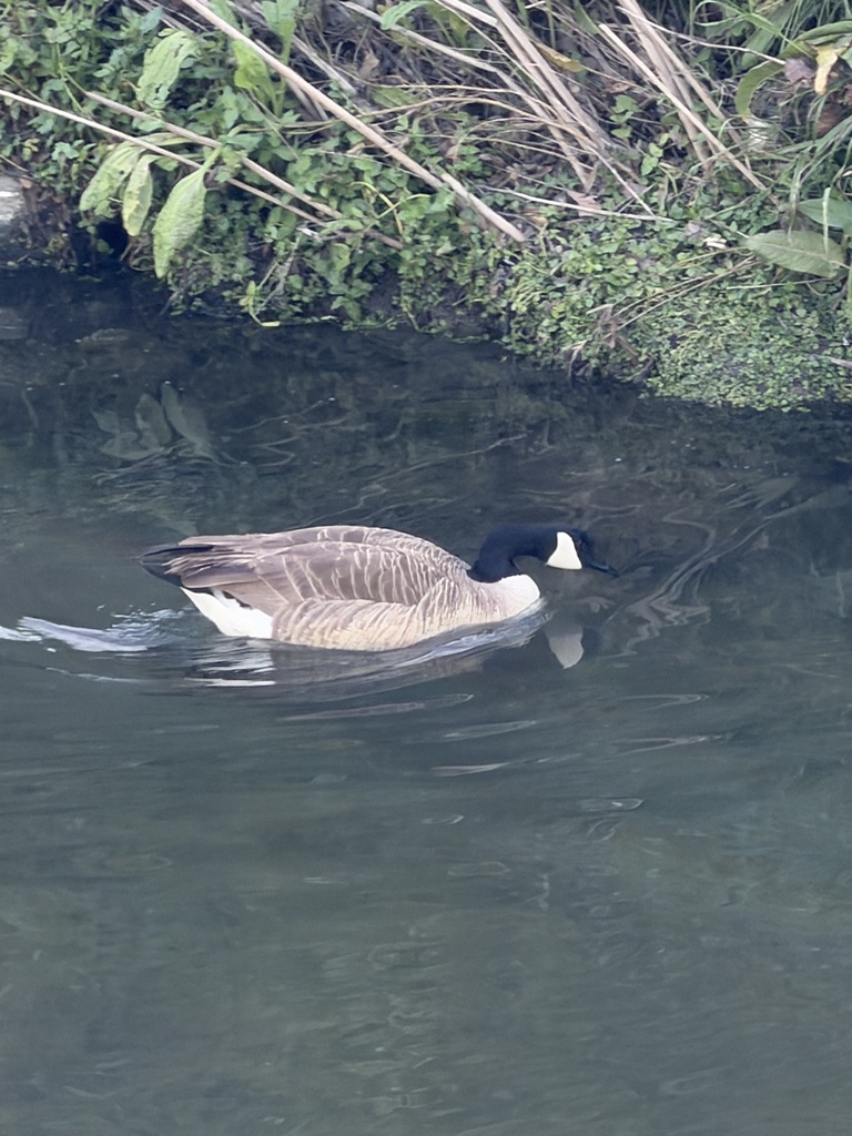
- Canada GooseBranta canadensis
- Common NighthawkChordeiles minor
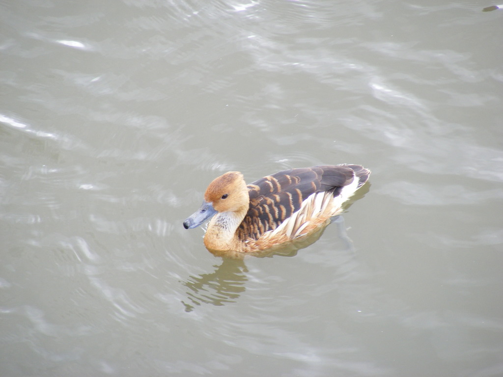
- Fulvous Whistling-duckDendrocygna bicolor
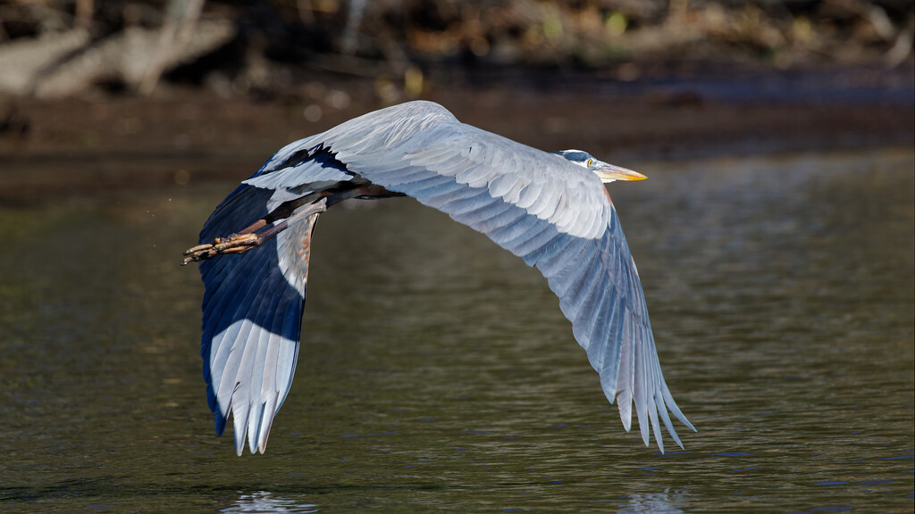
- Great Blue HeronArdea herodias
- Great Horned OwlBubo virginianus
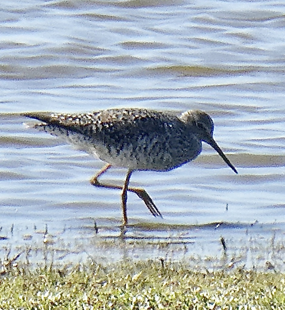
- Greater YellowlegsTringa melanoleuca
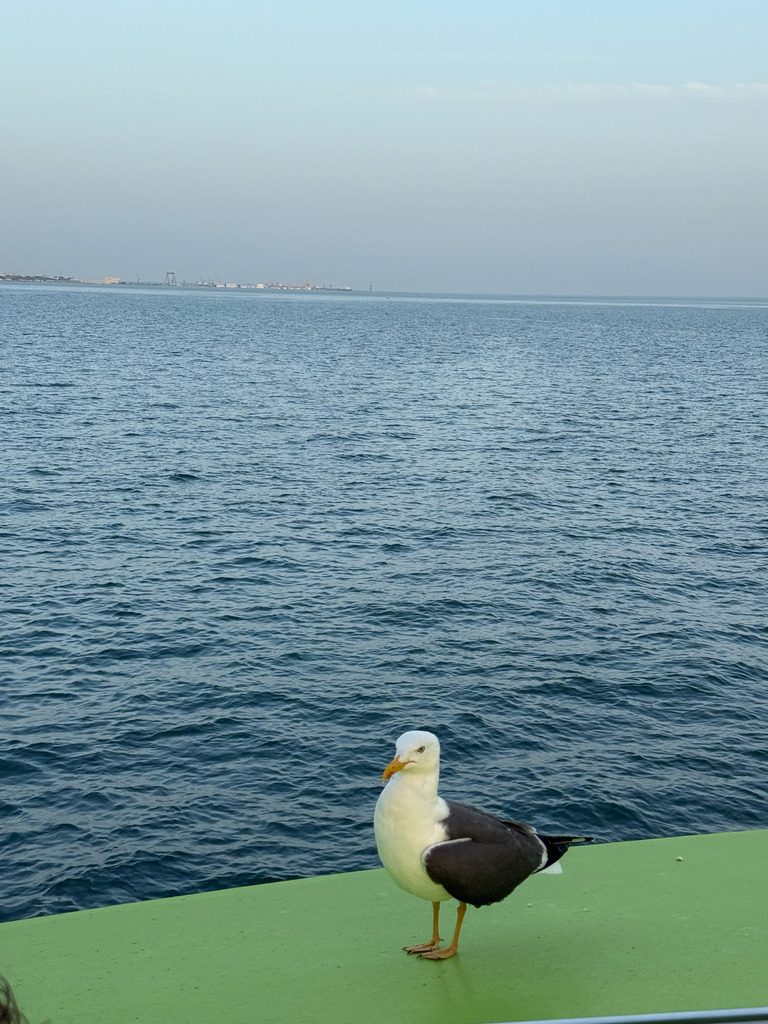
- Lesser Black-backed GullLarus fuscus
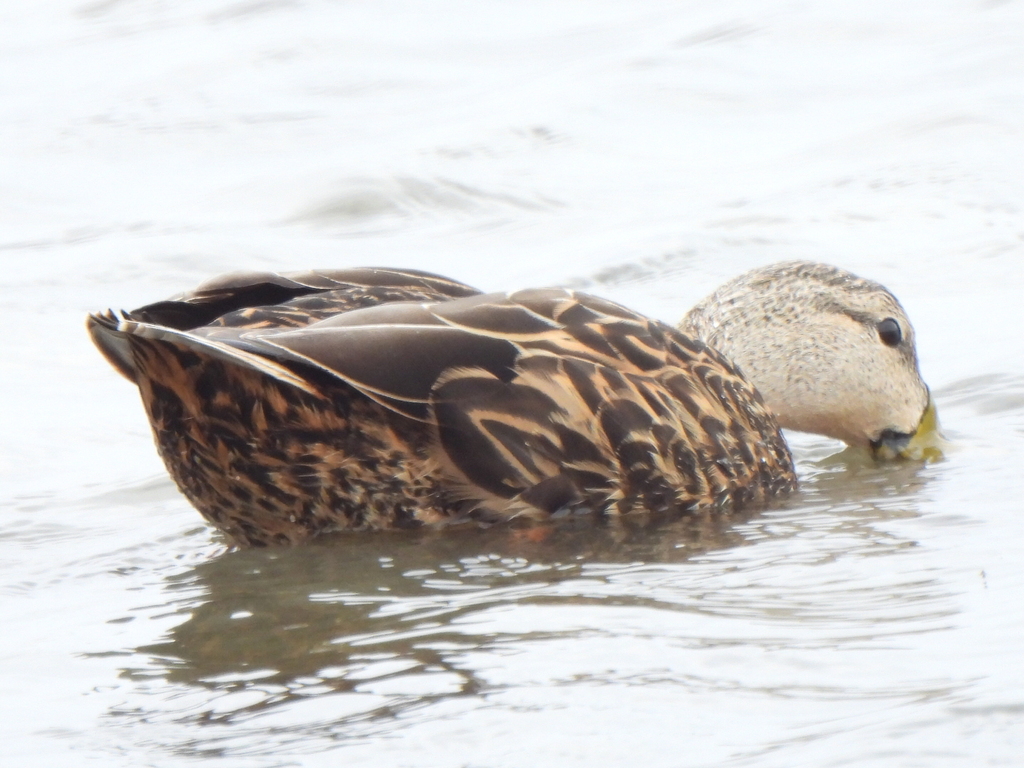
- Mottled DuckAnas fulvigula
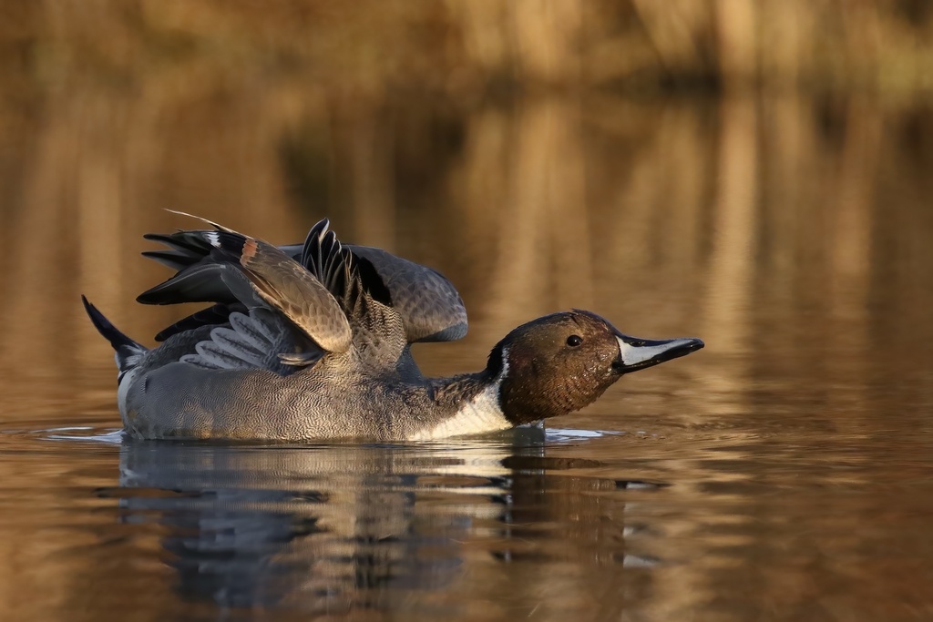
- Northern PintailAnas acuta
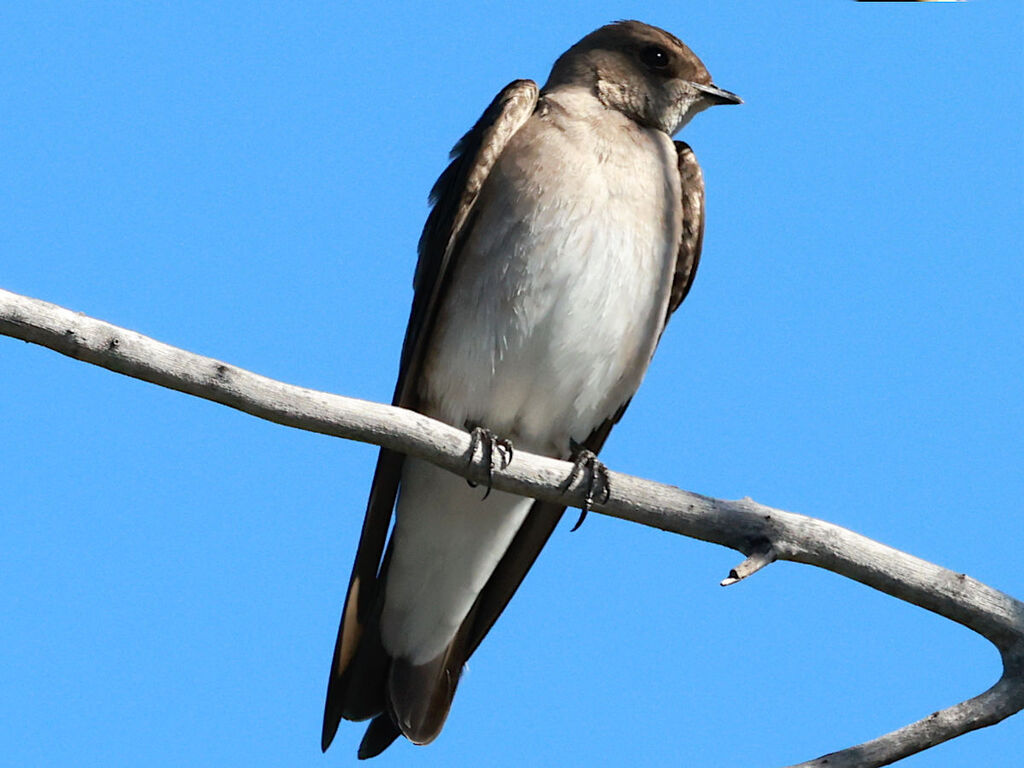
- Northern Rough-winged SwallowStelgidopteryx serripennis
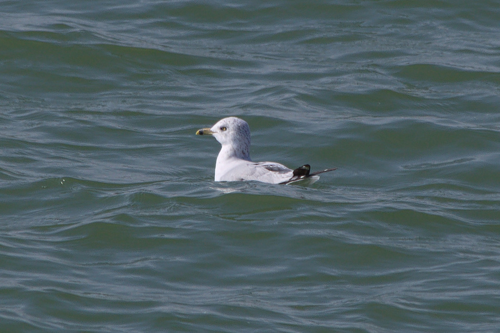
- Ring-billed GullLarus delawarensis
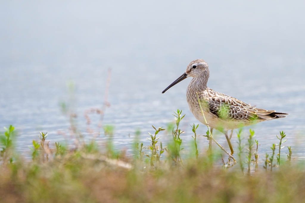
- Stilt SandpiperCalidris himantopus
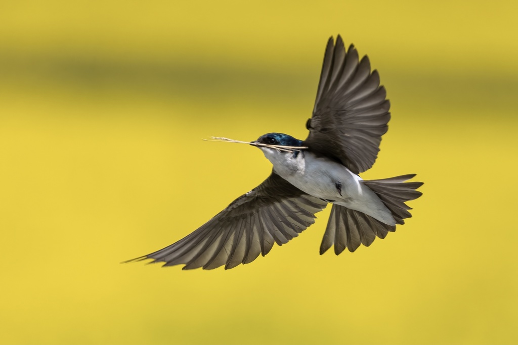
- Tree SwallowTachycineta bicolor
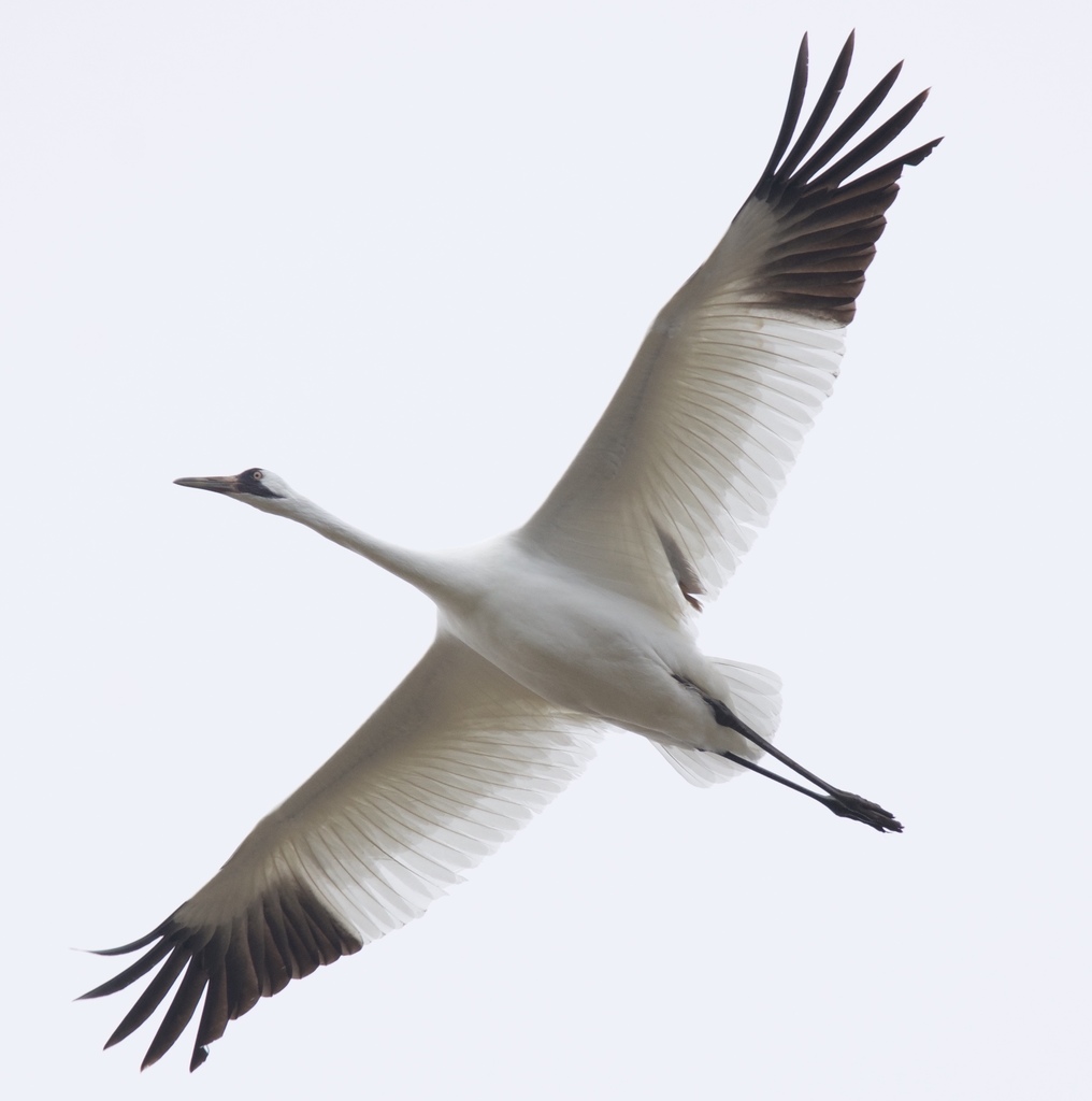
- Whooping CraneGrus americana
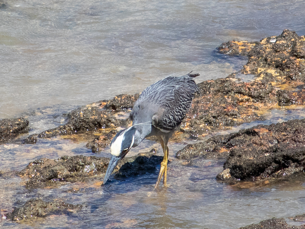
- Yellow-crowned Night-heronNyctanassa violacea
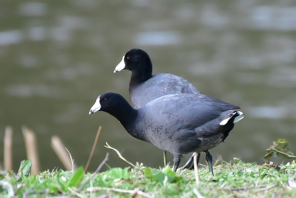
- American CootFulica americana




NatureServe Explorer, CC BY 4.0. USGS Gap Analysis Project habitat models.