

Bird
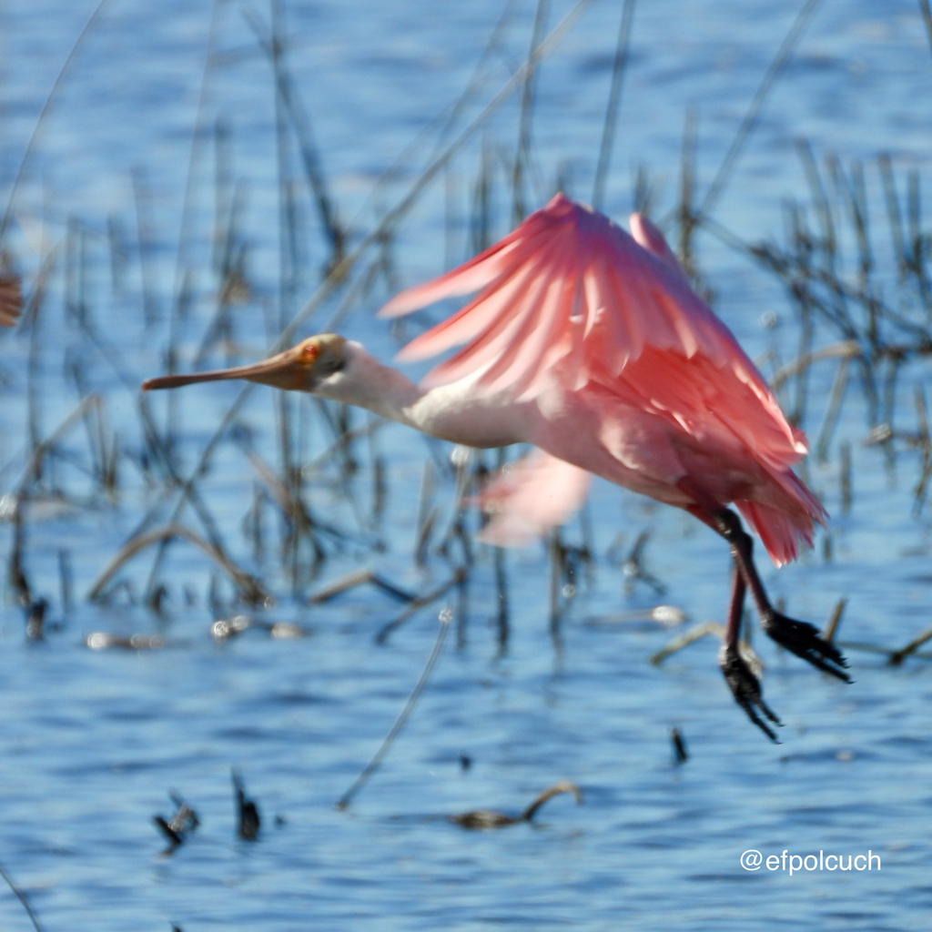
Roseate Spoonbill
Platalea ajaja
Lives in Florida all year and nests here. Found in 27 of 67 counties, across 12 habitats.
- Here
- All year
- Nesting
- Nests here
- Range
- 27 of 67 counties
- Habitats
- 12
At a glance
- Group
- Birds
- Here
- All year
- Nesting
- Nests here
- Range
- 27 of 67 counties
- Habitats
- 12
- Habitat models
- Summer, Winter
Where it lives
The places its habitat model includes. It is not found everywhere a habitat occurs.
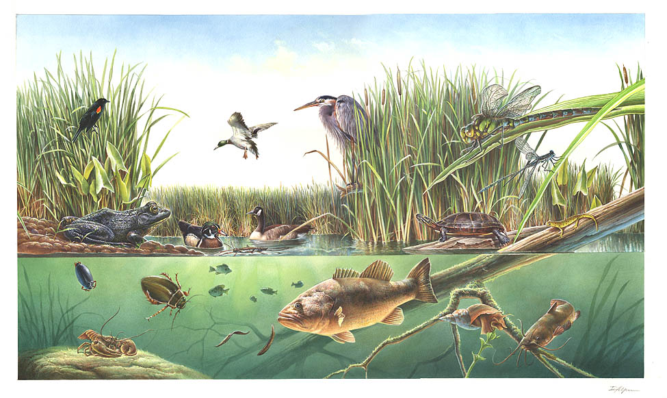
Habitats in Florida 12
Each habitat page lists the plants and wildlife also found there.
Open sand of beaches, dunes and the hollows between them.
Coastal tidal marshes (salinity not stated)
Tidal marshes of the Atlantic and Gulf coasts where the source does not say whether the water is fresh, brackish or salt. A stated salinity files the marsh under freshwater tidal marshes or salt and brackish marshes instead.
Depression ponds and limesinks
Shallow ponds in Coastal Plain depressions, such as limesinks and the ponds in some Carolina bays, that rise and fall with the seasons.
Disturbed and introduced wetlands
Wet ground taken over by weedy or introduced plants after disturbance, such as common reed, Chinese tallow or tamarisk stands; the upland counterpart is roadsides, fields and disturbed ground.
Floodplain and bottomland forests
Forests on low ground beside rivers and streams that flood from time to time.
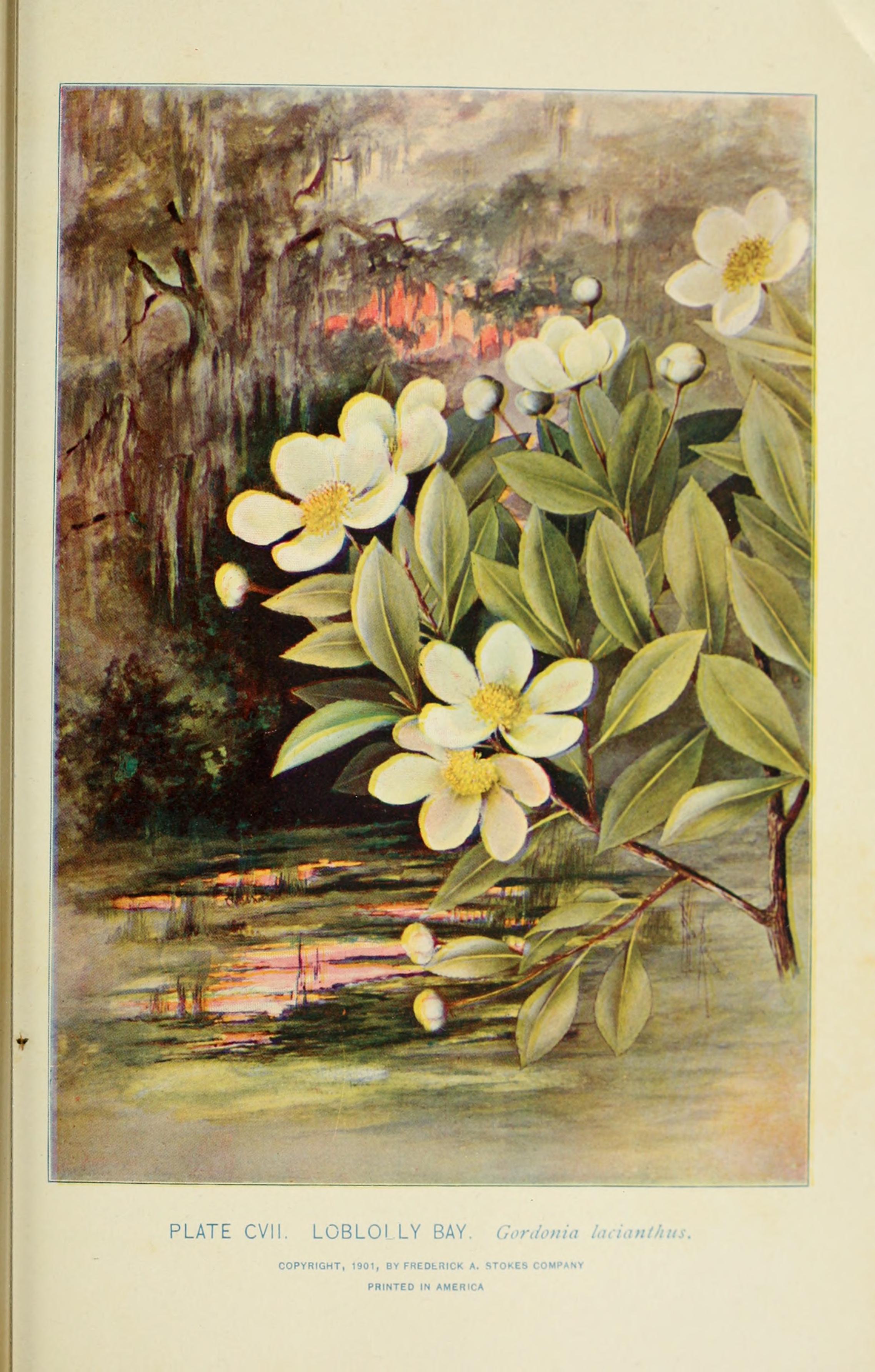
Marshes along tidal rivers where the water is fresh but rises and falls with the tide.
Tidal forests and thickets of red, black and white mangrove along sheltered tropical and subtropical shores.
Coastal marshes flooded by salty or brackish tides.
Salt and brackish open water of sounds, bays and estuaries, with the mud and sand flats and seagrass beds that tides cover and uncover; the vegetated marsh is salt and brackish marshes.
Other habitats in its models (32)
Land cover, or classes with no habitat page in Florida.
- Open Water (Aquaculture) Summer and winter.
- Unconsolidated Shore (Lake/River/Pond) Summer and winter.
- Unconsolidated Shore Summer and winter.
- Atlantic Coastal Plain Embayed Region Tidal Salt and Brackish Marsh Summer and winter.
- Atlantic Coastal Plain Northern Tidal Salt Marsh Summer and winter.
- West Gulf Coastal Plain Seepage Swamp and Baygall Summer and winter.
- Atlantic Coastal Plain Embayed Region Tidal Freshwater Marsh Summer and winter.
- Atlantic Coastal Plain Northern Fresh and Oligohaline Tidal Marsh Summer and winter.
- West Gulf Coastal Plain Near-Coast Large River Swamp Summer and winter.
- Atlantic Coastal Plain Nonriverine Swamp and Wet Hardwood Forest - Taxodium/Nyssa Modifier Summer and winter.
- Atlantic Coastal Plain Nonriverine Swamp and Wet Hardwood Forest - Oak Dominated Modifier Summer and winter.
- Atlantic Coastal Plain Clay-Based Carolina Bay Forested Wetland Summer and winter.
- South Florida Wet Marl Prairie Summer and winter.
- Texas Saline Coastal Prairie Summer and winter.
- Lower Mississippi River Bottomland Depressions - Forest Modifier Summer and winter.
- East Gulf Coastal Plain Southern Depression Pondshore Summer and winter.
- Mississippi River Bottomland Depression Summer and winter.
- South Florida Freshwater Slough and Gator Hole Summer and winter.
- South-Central Interior Large Floodplain - Forest Modifier Summer and winter.
- Southern Piedmont Large Floodplain Forest - Forest Modifier Summer and winter.
- East Gulf Coastal Plain Large River Floodplain Forest - Herbaceous Modifier Summer and winter.
- South-Central Interior Large Floodplain - Herbaceous Modifier Summer and winter.
- Western Great Plains Floodplain Systems Summer and winter.
- Mississippi River Riparian Forest Summer and winter.
- Mississippi River Low Floodplain (Bottomland) Forest Summer and winter.
- Atlantic Coastal Plain Small Brownwater River Floodplain Forest Summer and winter.
- Red River Large Floodplain Forest Summer and winter.
- Atlantic Coastal Plain Brownwater Stream Floodplain Forest Summer and winter.
- South-Central Interior Small Stream and Riparian Summer and winter.
- Texas-Louisiana Coastal Prairie Slough Summer and winter.
- Mississippi River Floodplain and Riparian Forest Summer and winter.
- South-Central Interior Large Floodplain Summer and winter.
Seasons in Florida
- Year-round: nests here, in 15 of 67 counties.
- Winter: does not nest here, in 17 of 67 counties.
- Summer: nests here, in 10 of 67 counties.
Also found in this habitat
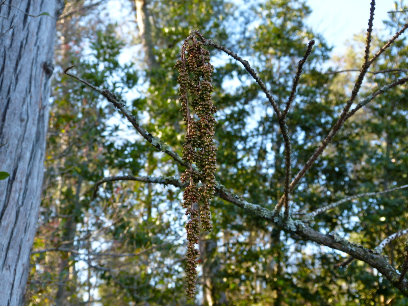
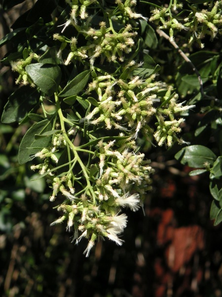
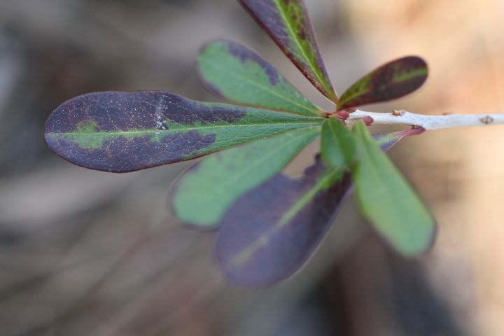
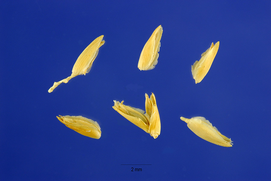
Plants 517
Plants named in NatureServe descriptions of these habitats that grow in Florida. Shared habitat, not food.
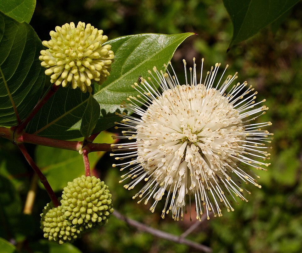
- ButtonbushCephalanthus occidentalis
- Common WaxmyrtleMorella cerifera
- Red MapleAcer rubrum
- Green Arrow-arumPeltandra virginica
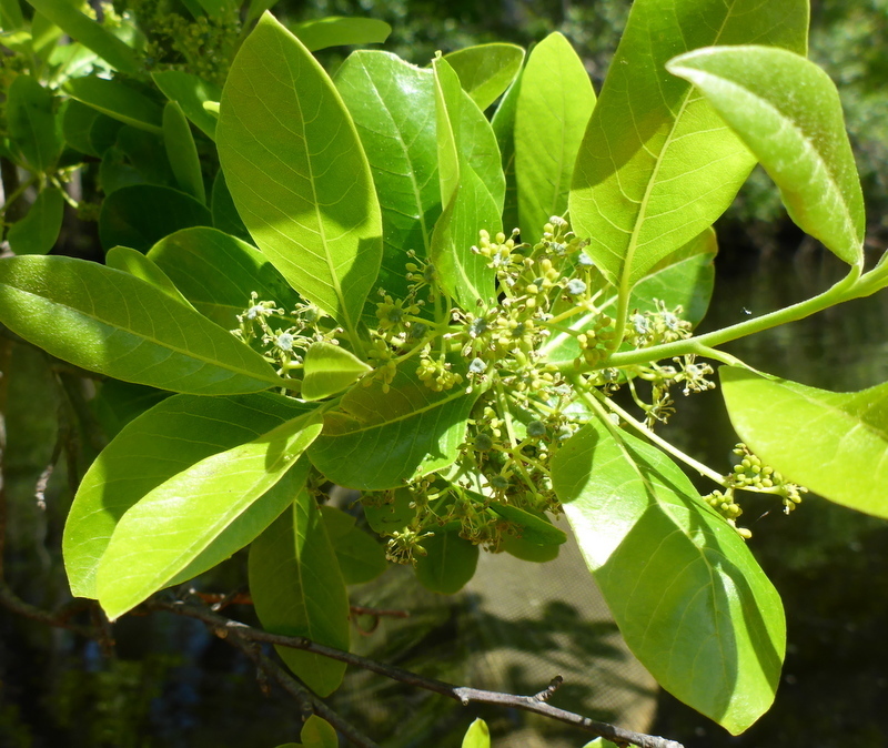
- Swamp RedbayPersea palustris
- Cabbage PalmettoSabal palmetto
- Serenoa repensSerenoa repens
- Bald CypressTaxodium distichum
- Tropical WaxweedCuphea aspera
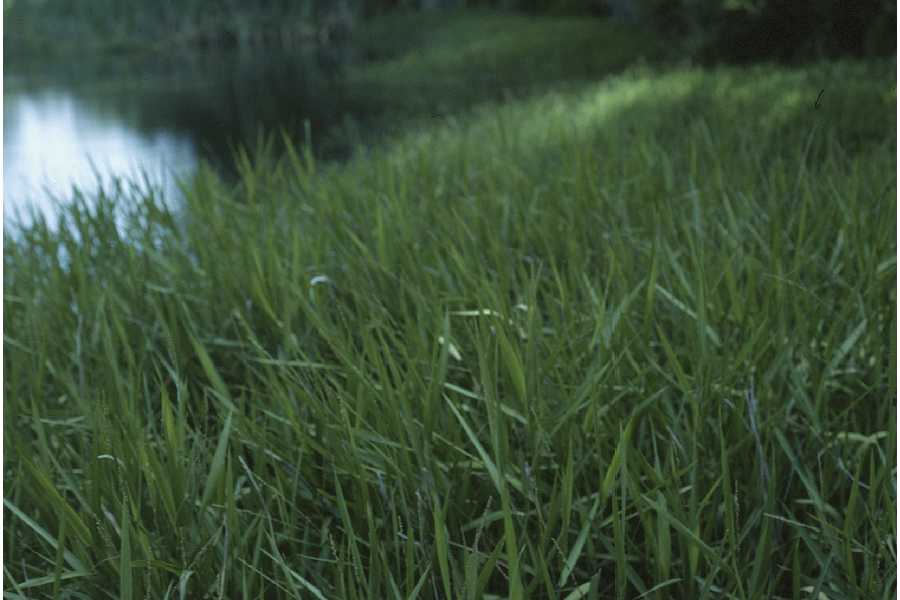
- MaidencaneHymenachne hemitomon
- Black NeedlerushJuncus roemerianus
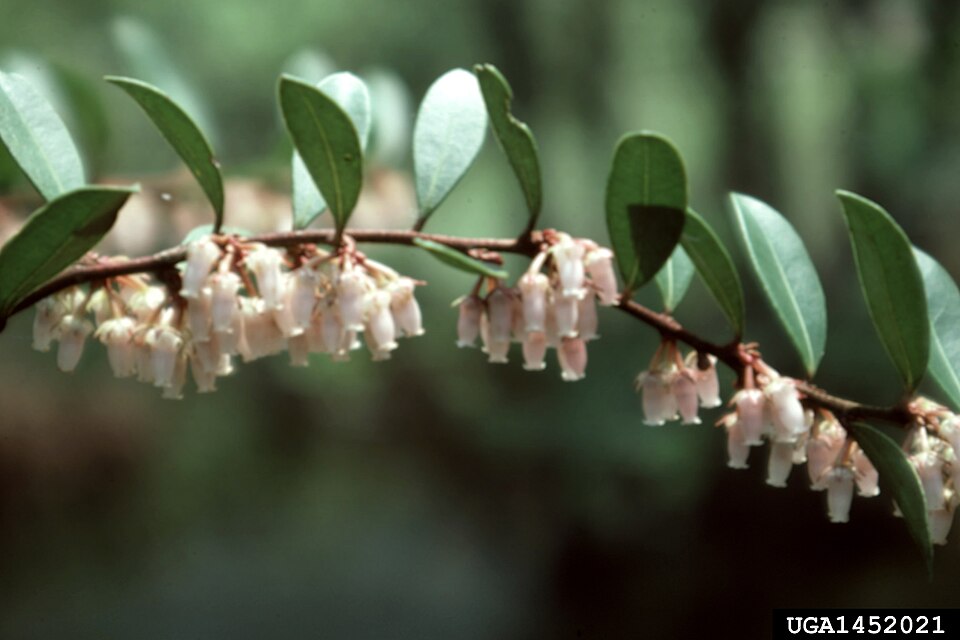
- Shining FetterbushLyonia lucida
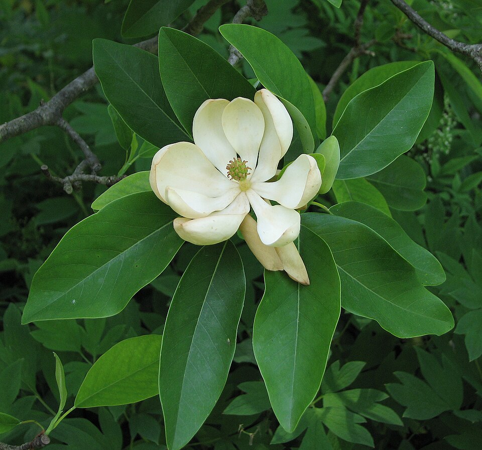
- Sweetbay MagnoliaMagnolia virginiana
- Swamp TupeloNyssa biflora
- Violet ButterwortPinguicula ionantha
- Pond CypressTaxodium ascendens
- Groundsel-treeBaccharis halimifolia
- TitiCyrilla racemiflora
- Seashore SaltgrassDistichlis spicata
- PondberryLindera melissifolia
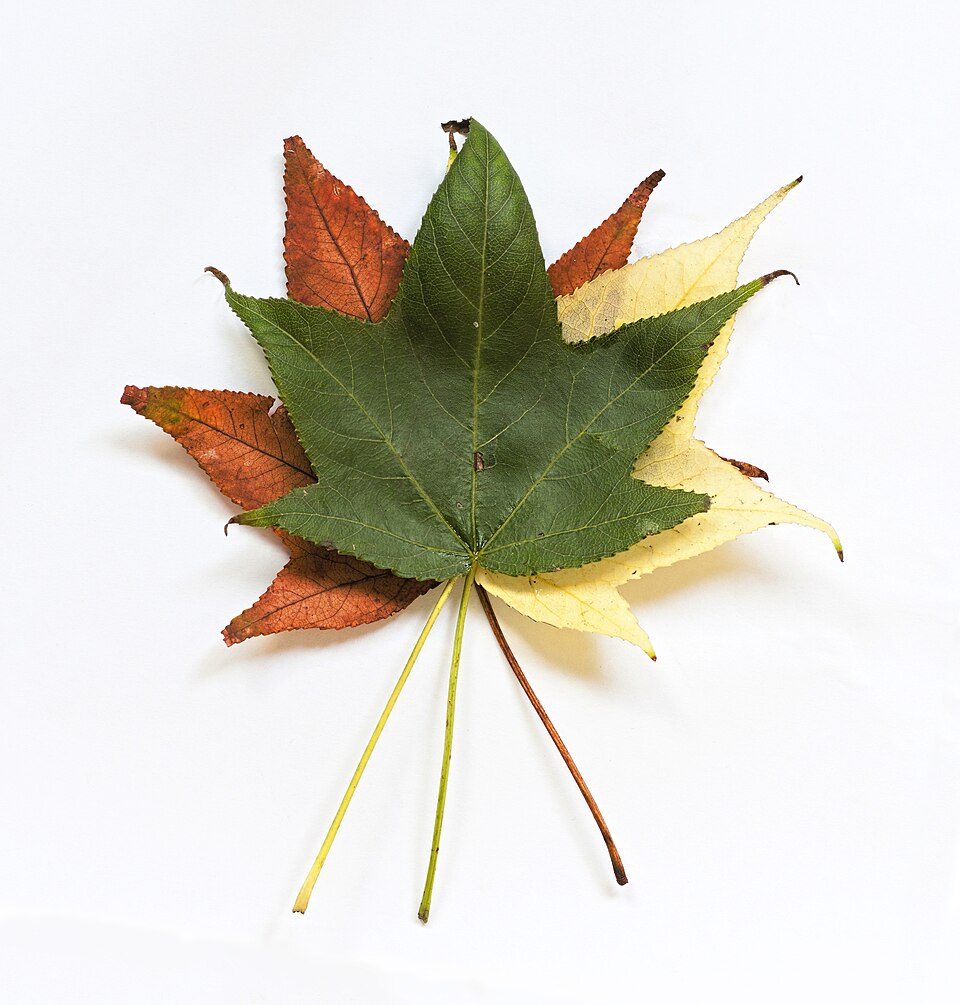
- SweetgumLiquidambar styraciflua
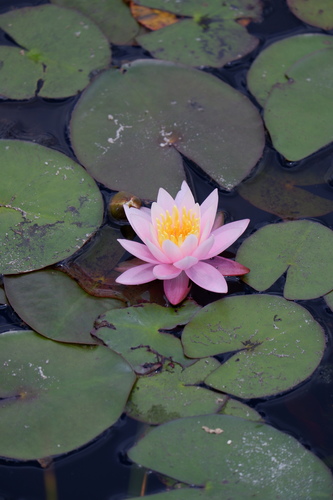
- Fragrant Water-lilyNymphaea odorata
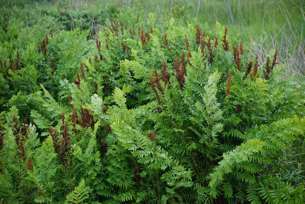
- Royal FernOsmunda spectabilis
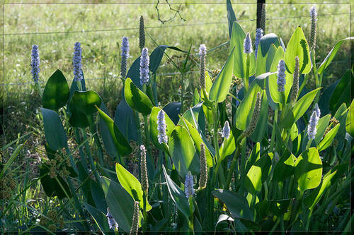
- PickerelweedPontederia cordata

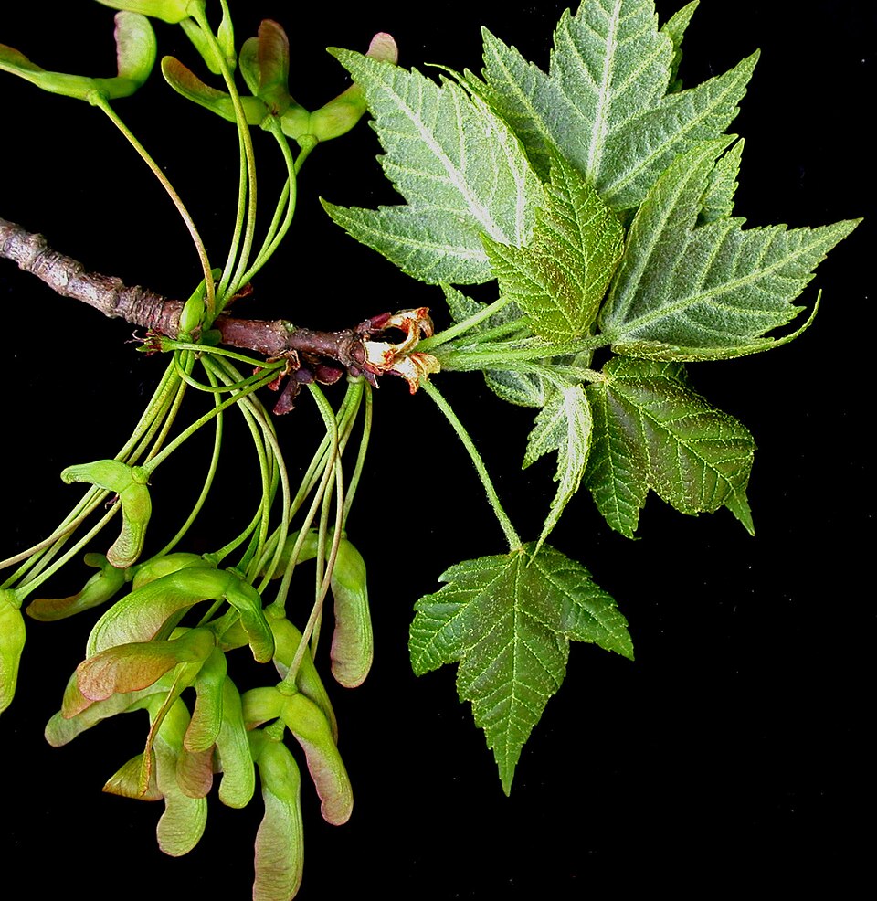
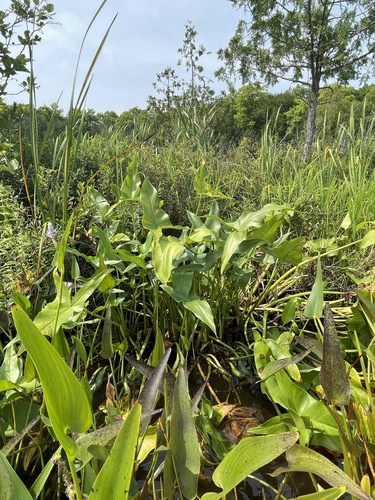
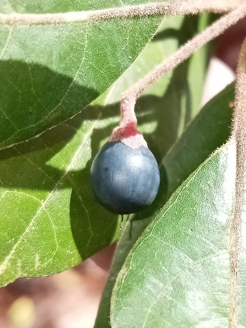
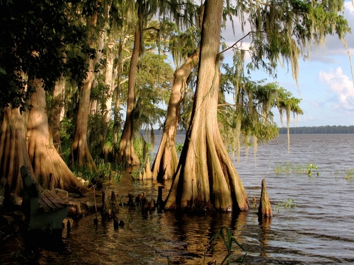
Wildlife 274
Other animals whose habitat models include the same habitats in Florida. Not sighting records.
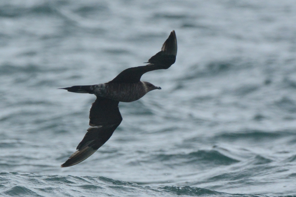
- Parasitic JaegerStercorarius parasiticus
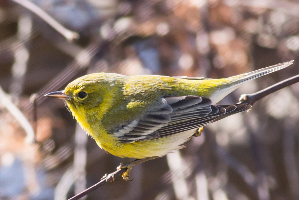
- Pine WarblerDendroica pinus
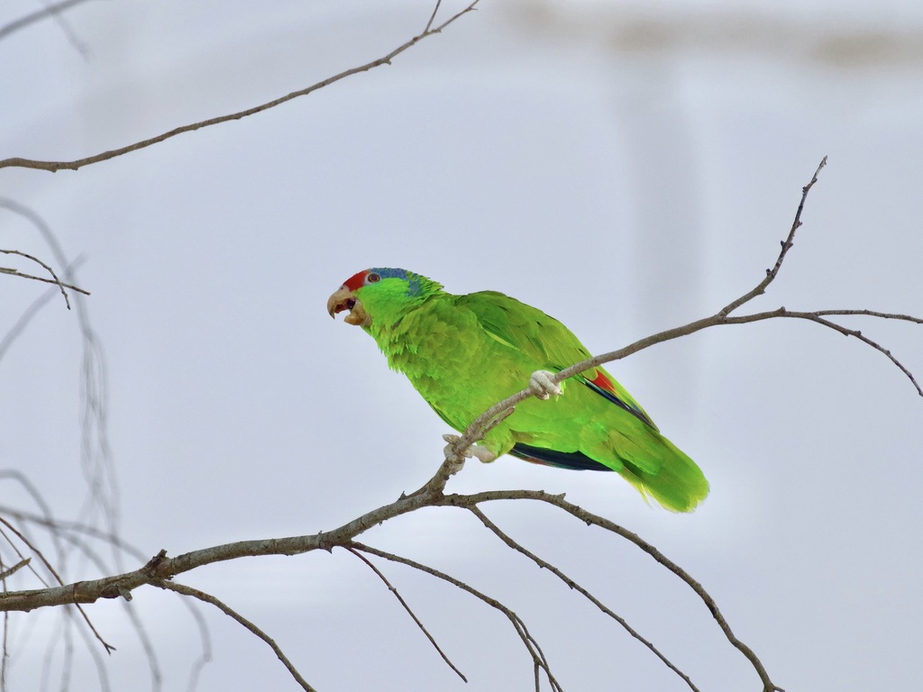
- Red-crowned ParrotAmazona viridigenalis
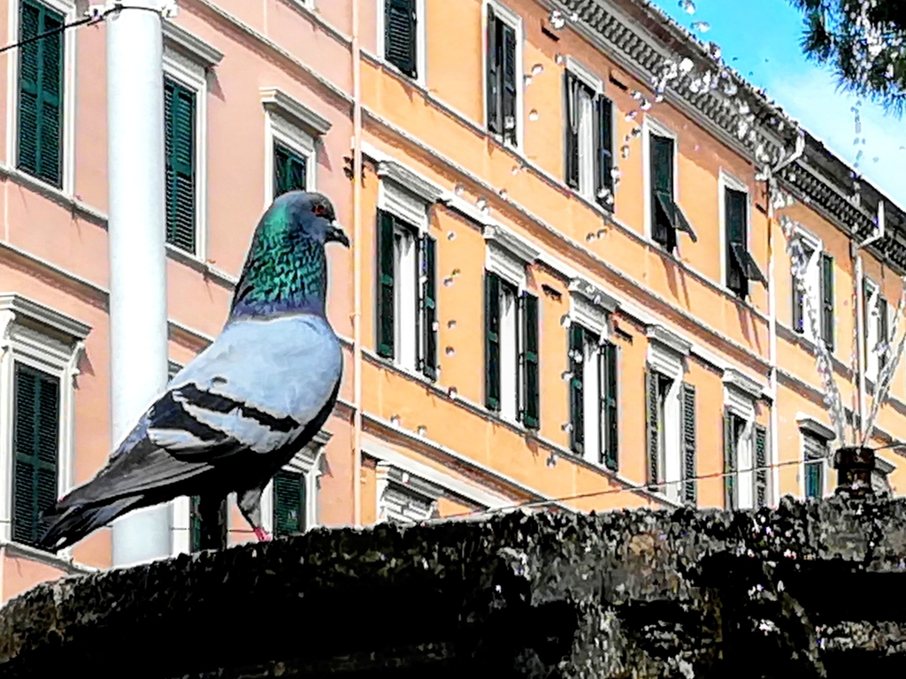
- Rock PigeonColumba livia
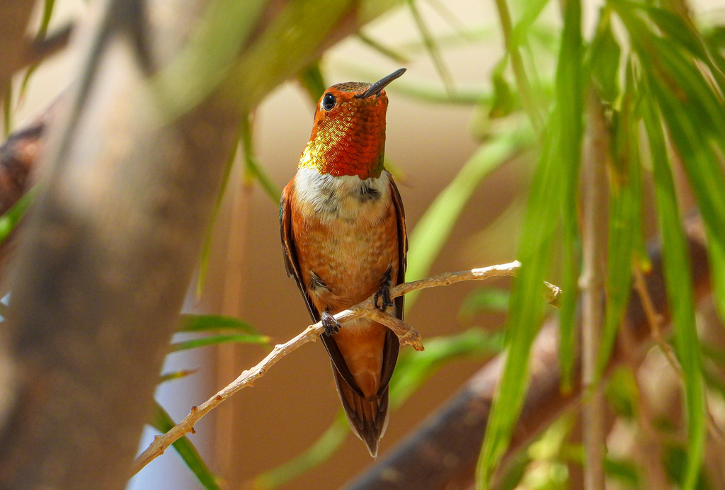
- Rufous HummingbirdSelasphorus rufus
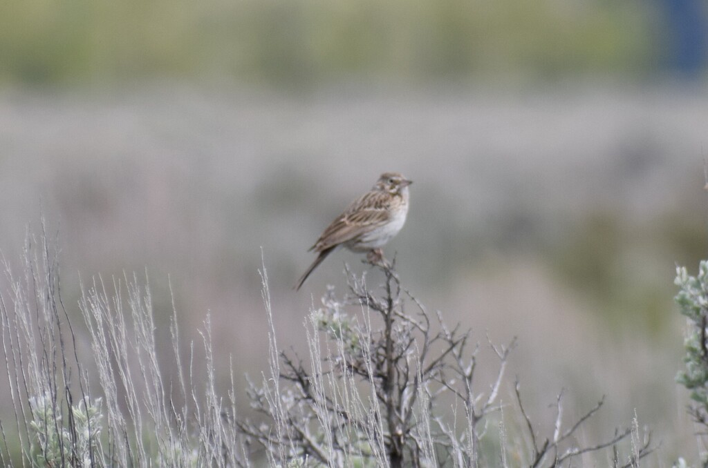
- Vesper SparrowPooecetes gramineus
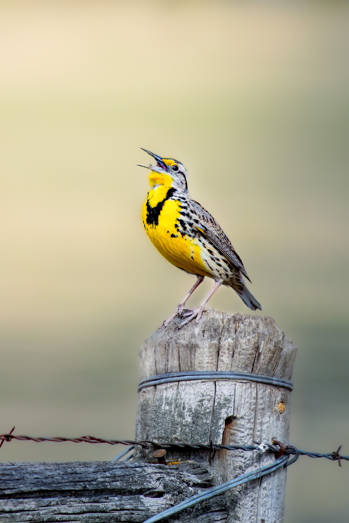
- Western MeadowlarkSturnella neglecta
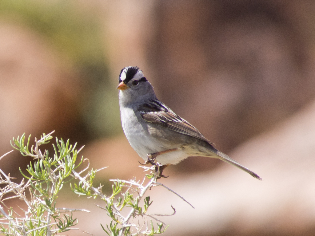
- White-crowned SparrowZonotrichia leucophrys
- Willow FlycatcherEmpidonax traillii
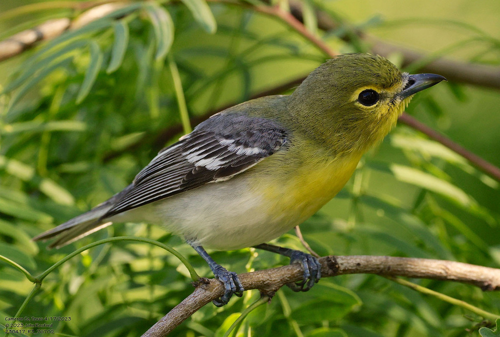
- Yellow-throated VireoVireo flavifrons
NatureServe Explorer, CC BY 4.0. USGS Gap Analysis Project habitat models.
Sources
- USGS Gap Analysis Project habitat models (2001)
- USGS GAP winter habitat model for Roseate Spoonbill
- USGS Gap Analysis Project range maps (2001), modeled by watershed; migratory gives no dates
- NatureServe Explorer (CC BY 4.0), habitat names
- US Census TIGER/Line counties
- Names follow the USGS Gap Analysis Project (2001)