

Bird
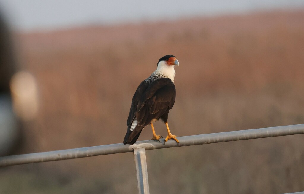
Crested Caracara
Caracara cheriway
Lives in Florida all year and nests here. Found in 18 of 67 counties, across 5 habitats.
- Here
- All year
- Nesting
- Nests here
- Range
- 18 of 67 counties
- Habitats
- 5
At a glance
- Group
- Birds
- Here
- All year
- Nesting
- Nests here
- Range
- 18 of 67 counties
- Habitats
- 5
- Habitat models
- Year-round
Where it lives
The places its habitat model includes. It is not found everywhere a habitat occurs.
Habitats in Florida 5
Each habitat page lists the plants and wildlife also found there.
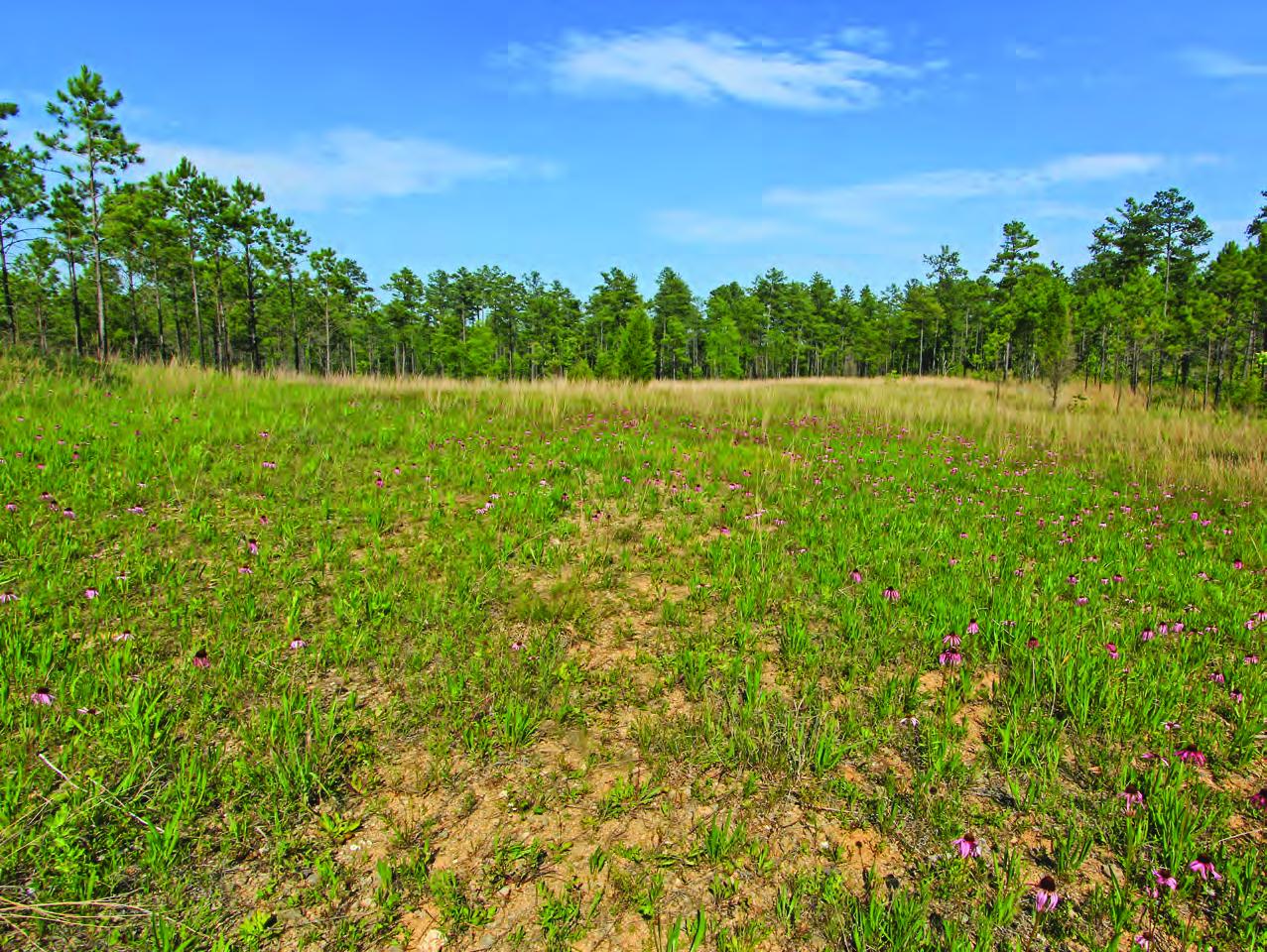
Depression ponds and limesinks
Shallow ponds in Coastal Plain depressions, such as limesinks and the ponds in some Carolina bays, that rise and fall with the seasons.
Evergreen scrub oaks, sand pine and rosemary on deep, white, drought-prone sand ridges, burned rarely but intensely; distinct from the longleaf and turkey oak sandhills.
Flat, sandy Coastal Plain pine woodlands, wetter than sandhills and denser than savannas.
Roadsides, fields and disturbed ground
Ground opened by people: roadsides, old fields, pastures, fencerows and lots.
Other habitats in its models (8)
Land cover, or classes with no habitat page in Florida.
- Developed, Low Intensity Year-round.
- Texas Coastal Bend Beach Year-round.
- Tamaulipan Mesquite Upland Scrub Year-round.
- West Gulf Coastal Plain Catahoula Barrens Year-round.
- Introduced Upland Vegetation - Annual Grassland Year-round.
- Modified/Managed Southern Tall Grassland Year-round.
- Central Florida Herbaceous Seep Year-round.
- Texas Saline Coastal Prairie Year-round.
Seasons in Florida
- Year-round: nests here, in 18 of 67 counties.
Also found in this habitat
Plants 108
Plants named in NatureServe descriptions of these habitats that grow in Florida. Shared habitat, not food.
- Serenoa repensSerenoa repens
- Shining FetterbushLyonia lucida
- Florida Peanut-grassAmphicarpum muehlenbergianum
- Andropogon brachystachyusAndropogon brachystachyus
- Hairy BluestemAndropogon glomeratus var. hirsutior
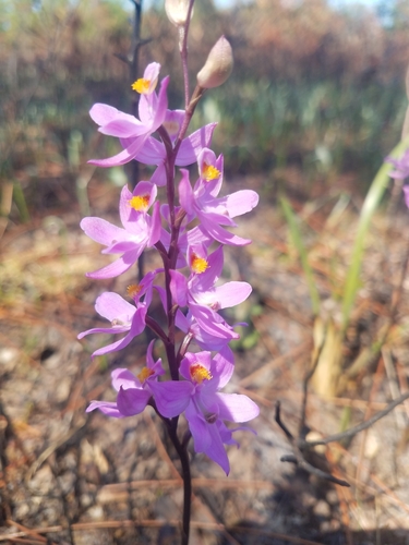
- Many-flowered Grass-pinkCalopogon multiflorus
- Coelorachis tuberculosaCoelorachis tuberculosa
- Hartwrightia floridanaHartwrightia floridana
- Arcadian St.john's-wortHypericum edisonianum
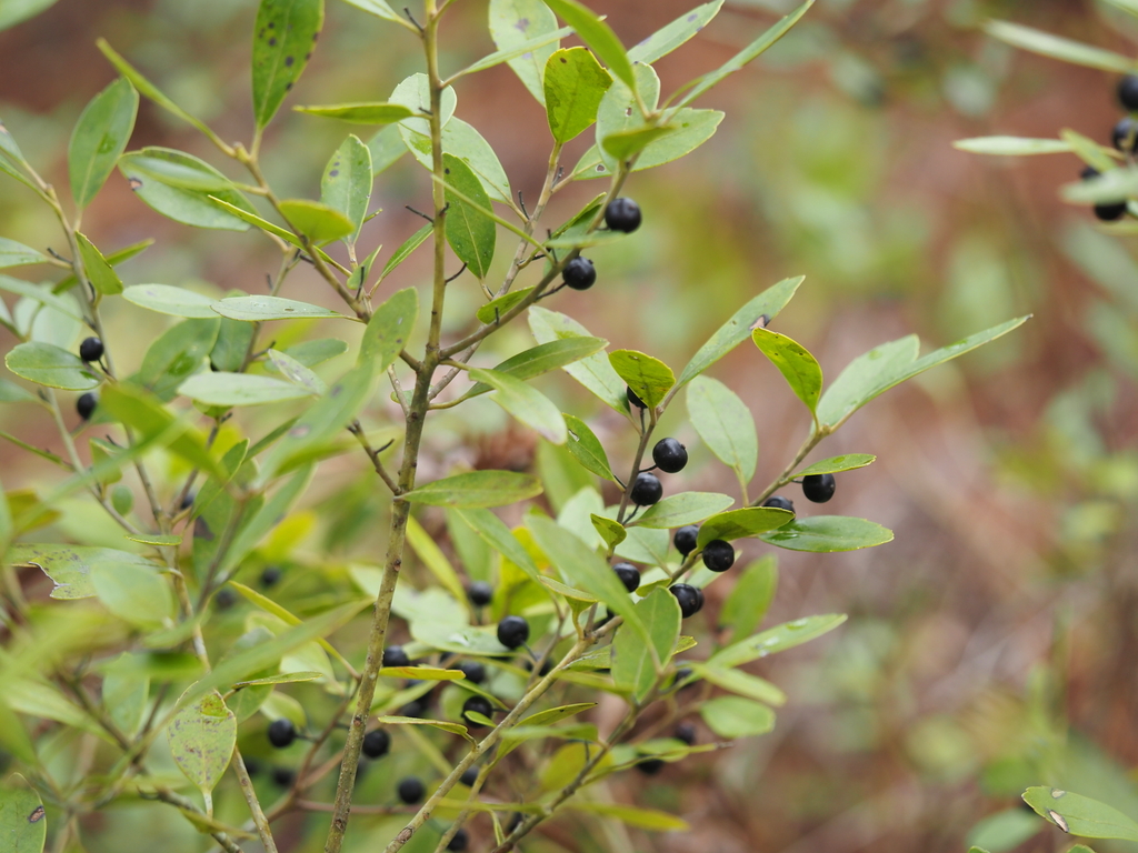
- InkberryIlex glabra
- Southern BogbuttonLachnocaulon beyrichianum
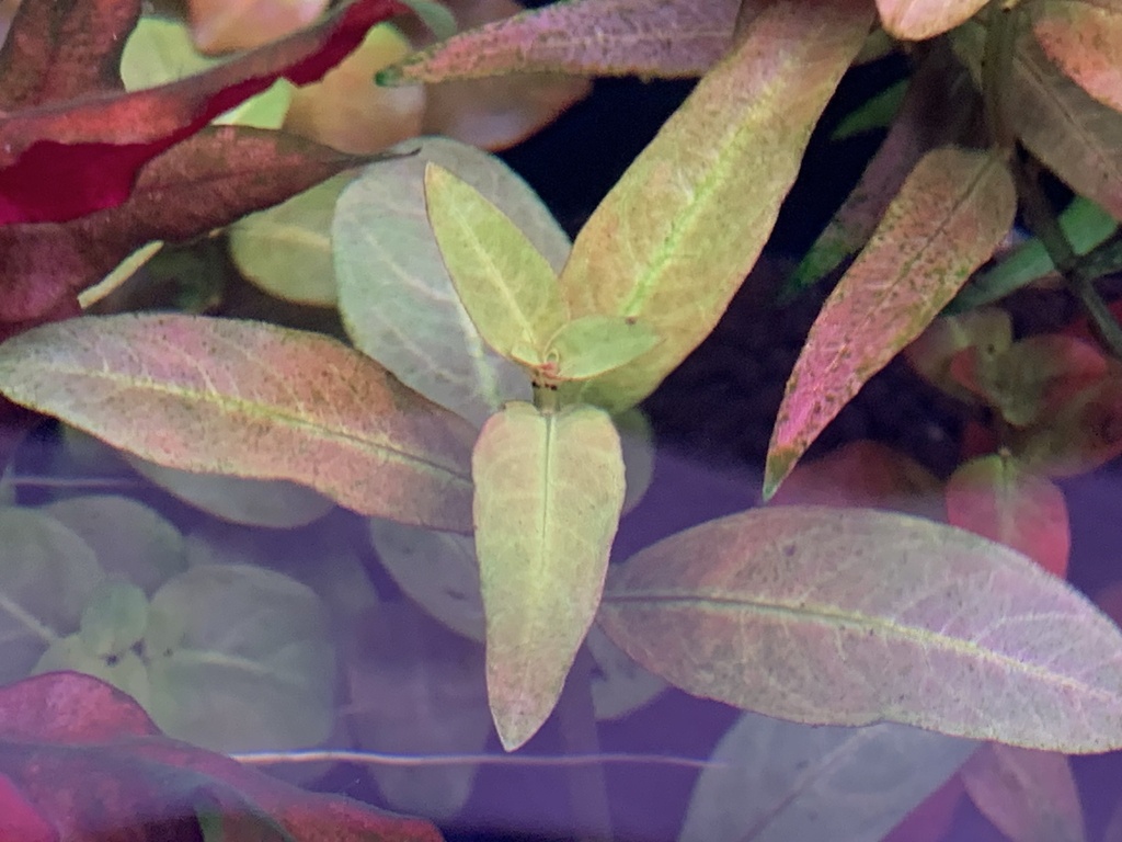
- Curtiss' PrimrosewillowLudwigia curtissii
- Lanceleaf SeedboxLudwigia lanceolata
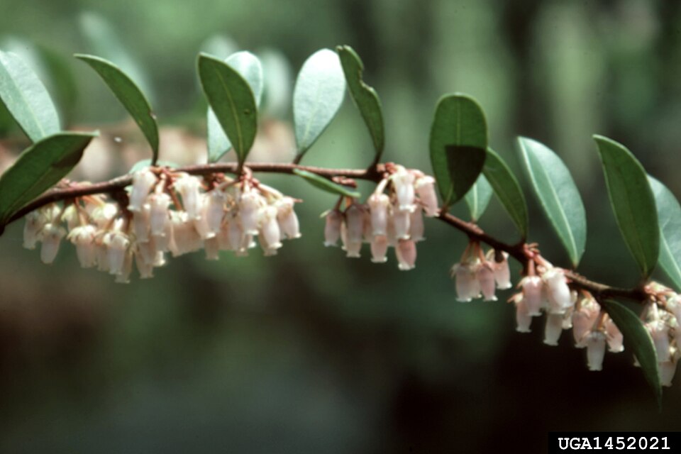
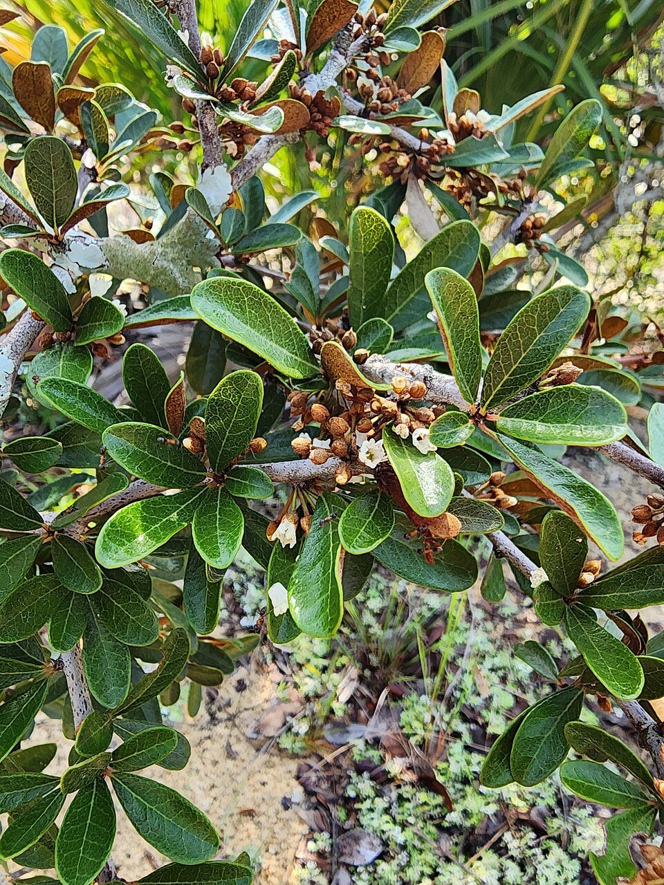
- Lyonia ferrugineaLyonia ferruginea
- Lyonia fruticosaLyonia fruticosa
- Spiked MedusaOrthochilus ecristatus
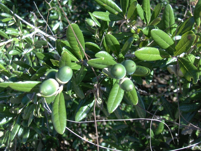
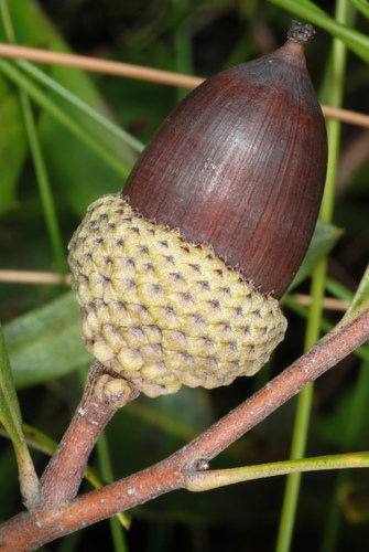
- Quercus chapmaniiQuercus chapmanii
- Sand Live OakQuercus geminata
- Scrub OakQuercus inopina
- Dwarf Live OakQuercus minima
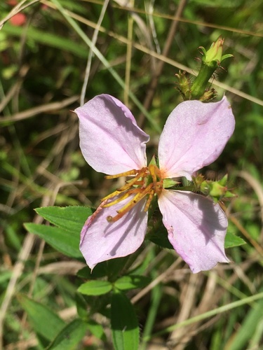
- Maryland Meadow-beautyRhexia mariana
- Tough BumeliaSideroxylon tenax
- Sporobolus curtissiiSporobolus curtissii
- Agalinis filicaulisAgalinis filicaulis
Wildlife 233
Other animals whose habitat models include the same habitats in Florida. Not sighting records.
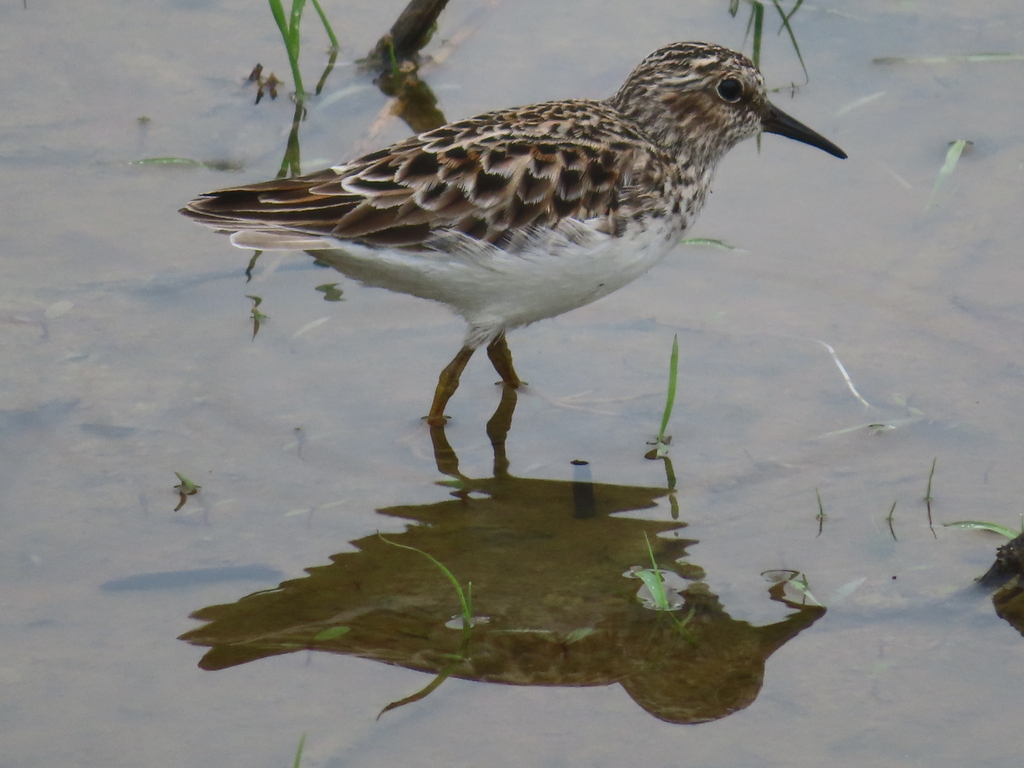
- Least SandpiperCalidris minutilla
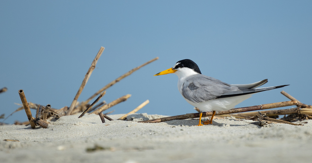
- Least TernSternula antillarum
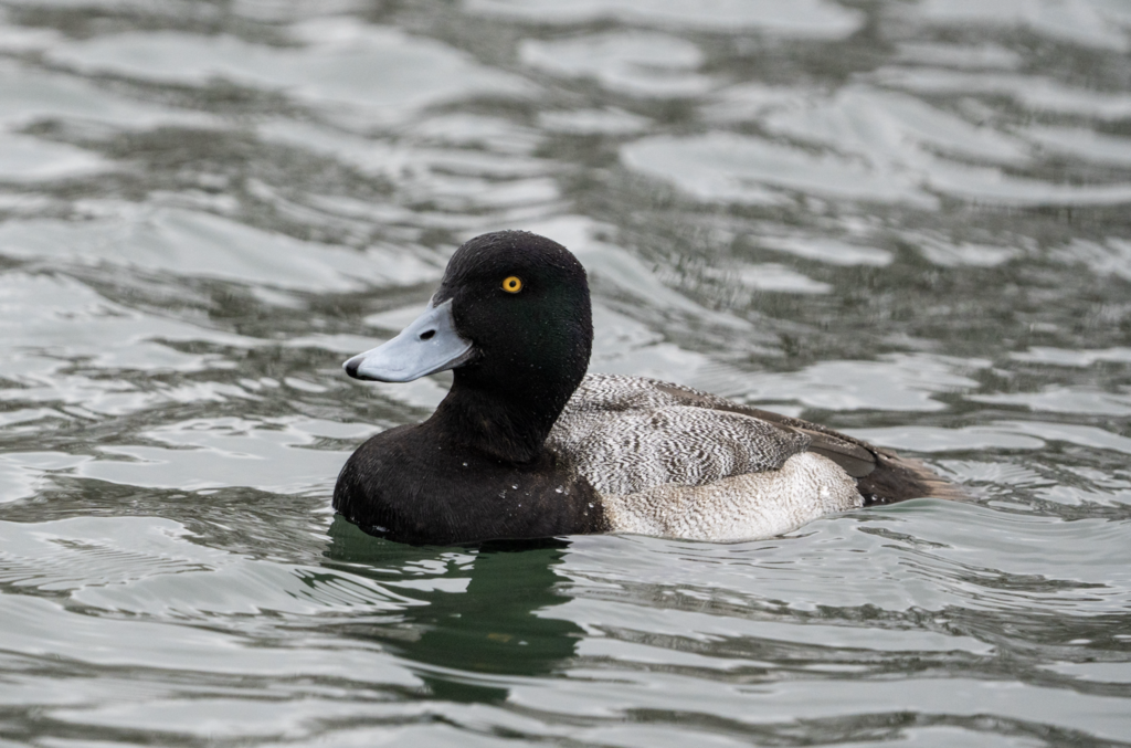
- Lesser ScaupAythya affinis
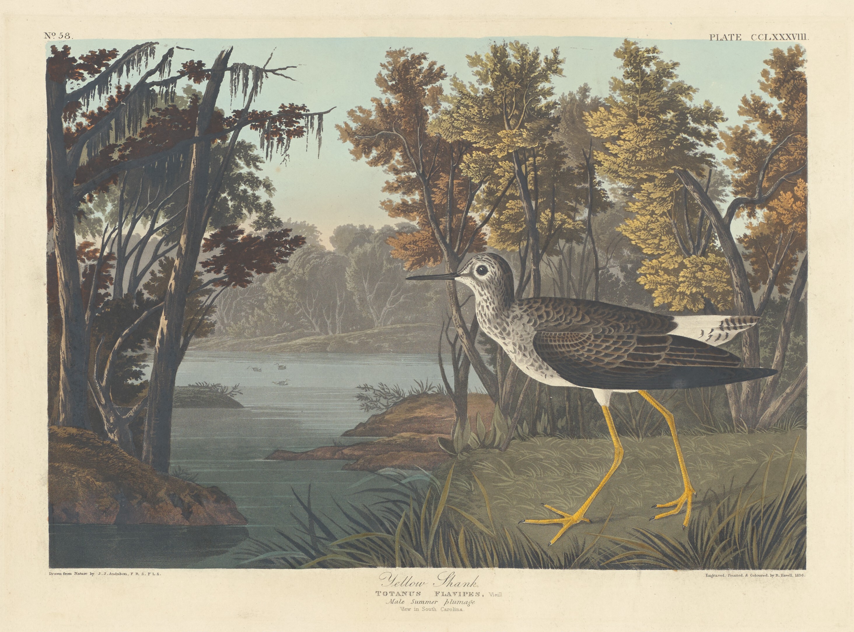
- Lesser YellowlegsTringa flavipes
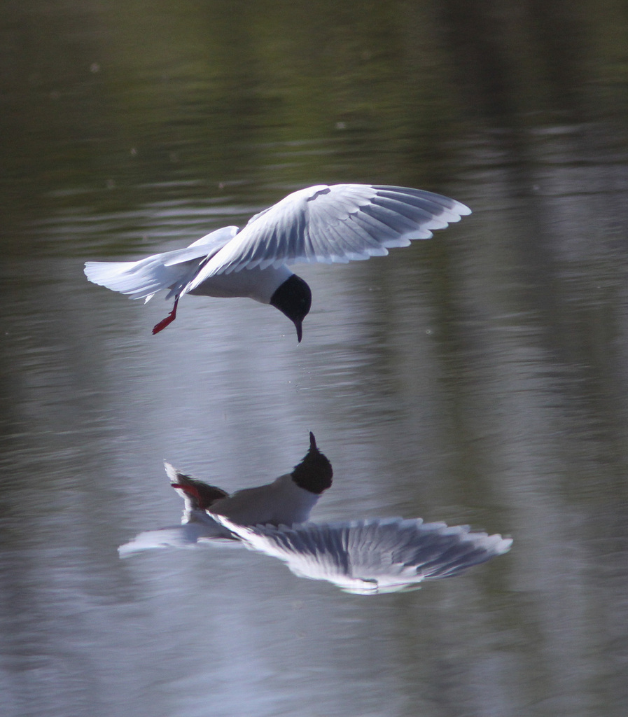
- Little GullHydrocoloeus minutus
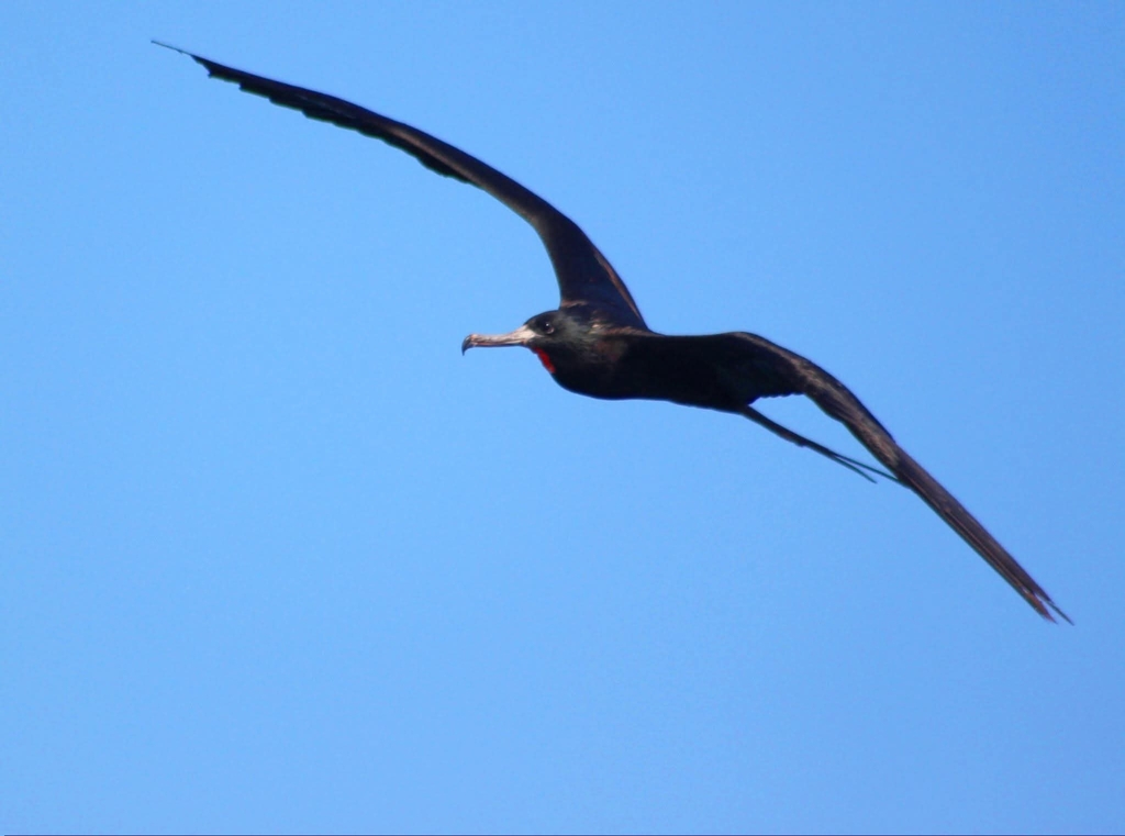
- Magnificent FrigatebirdFregata magnificens
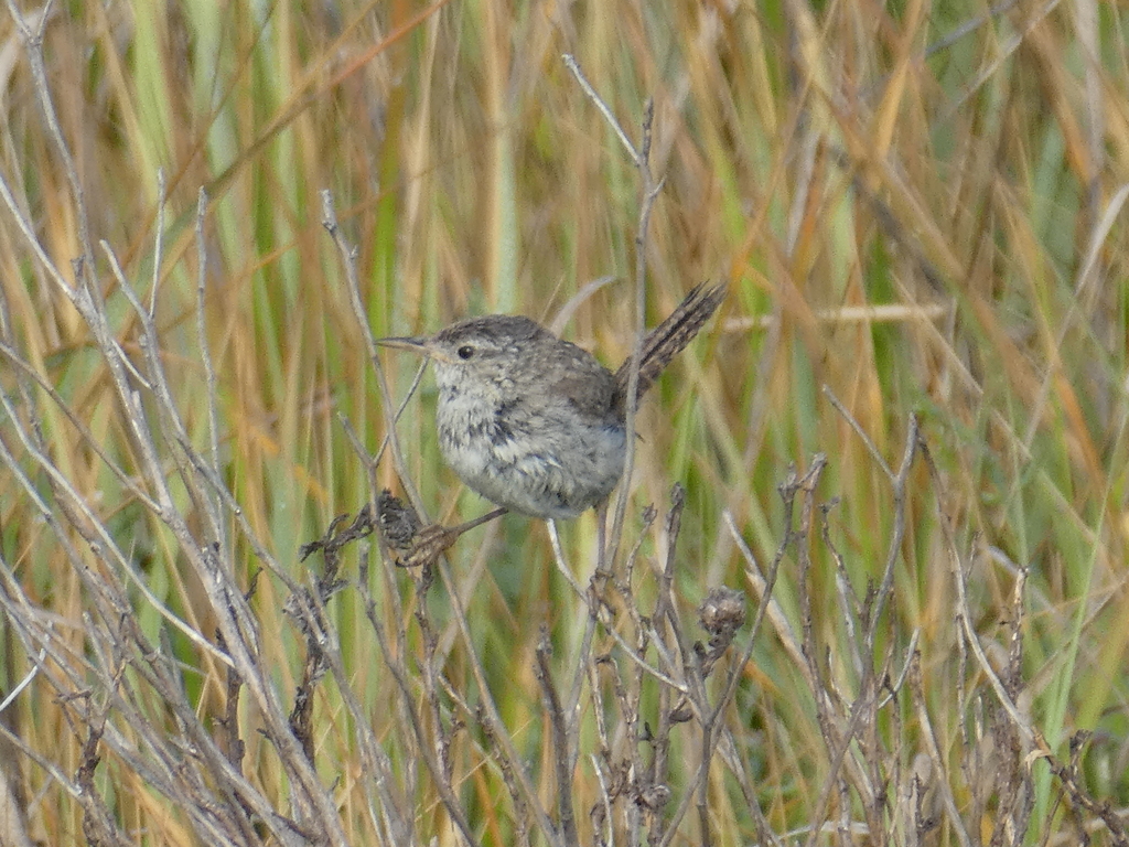
- Marsh WrenCistothorus palustris
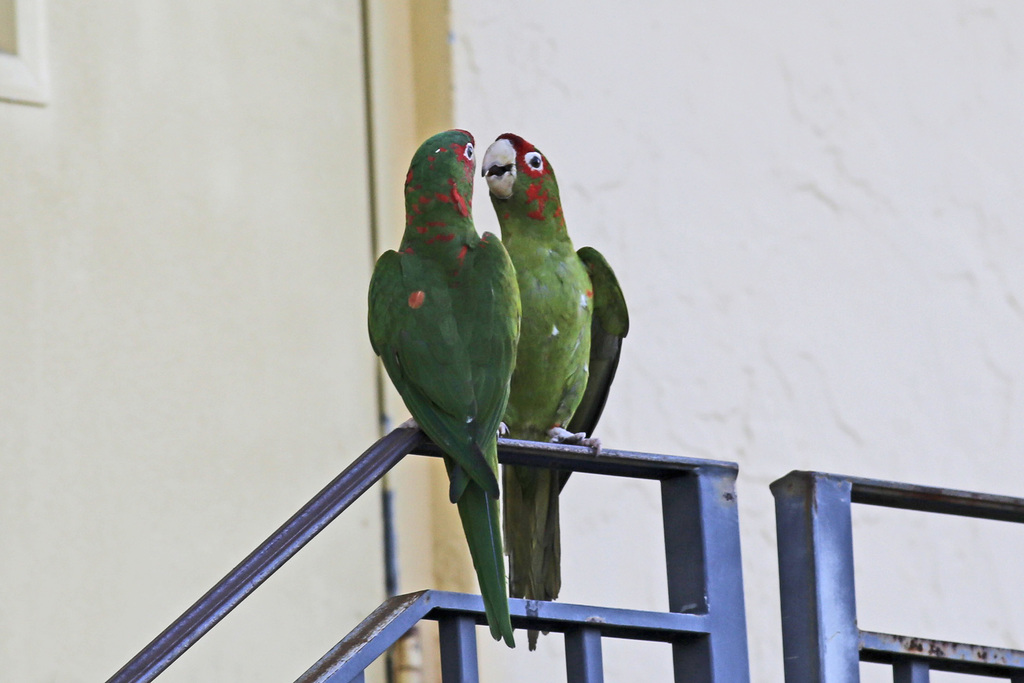
- Mitred ParakeetAratinga mitrata
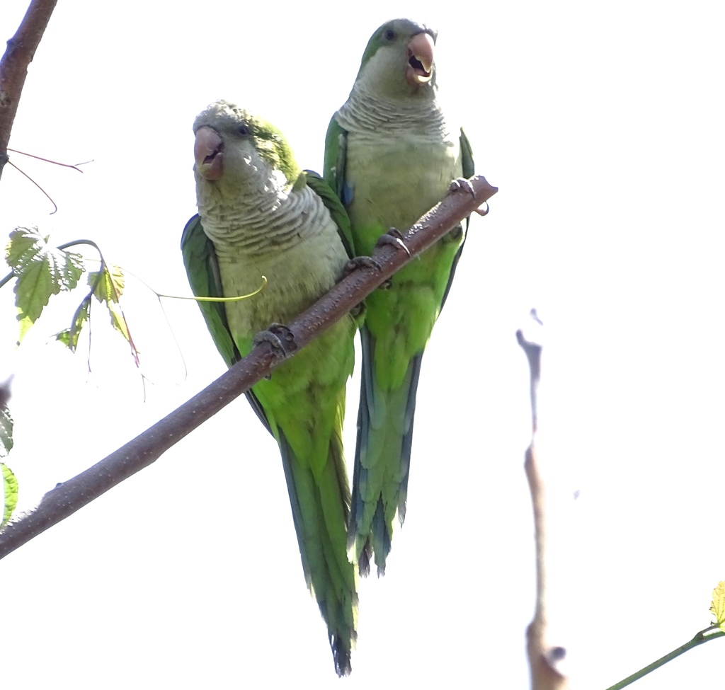
- Monk ParakeetMyiopsitta monachus
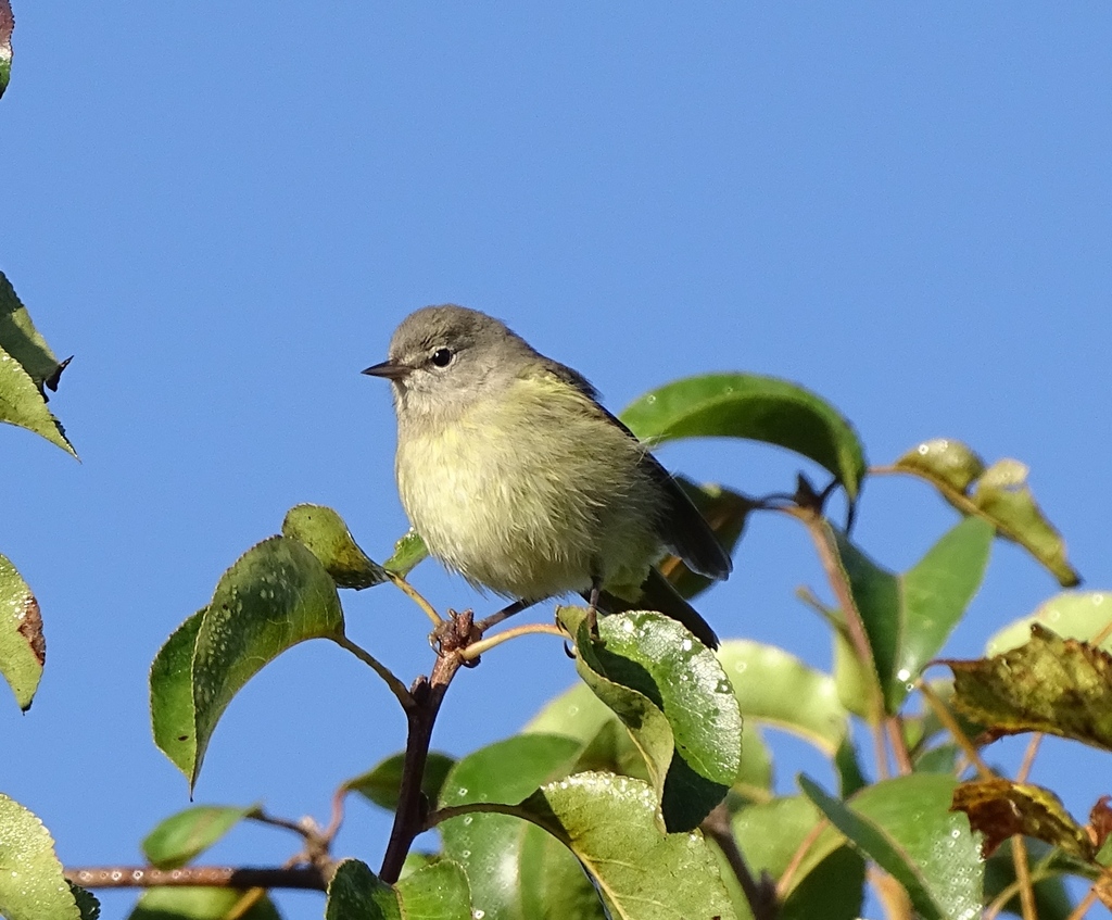
- Orange-crowned WarblerVermivora celata
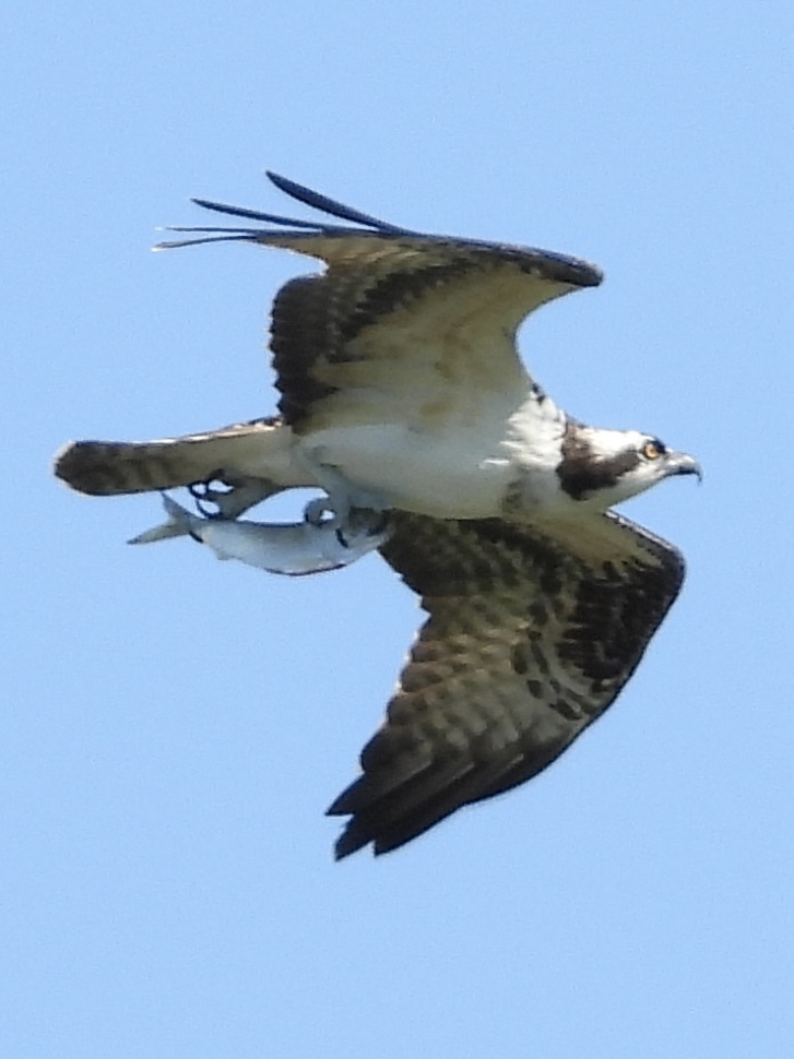
- OspreyPandion haliaetus
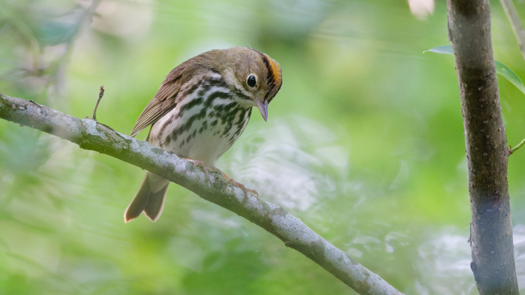
- OvenbirdSeiurus aurocapilla
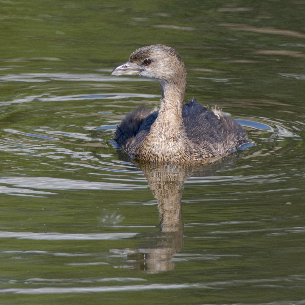
- Pied-billed GrebePodilymbus podiceps
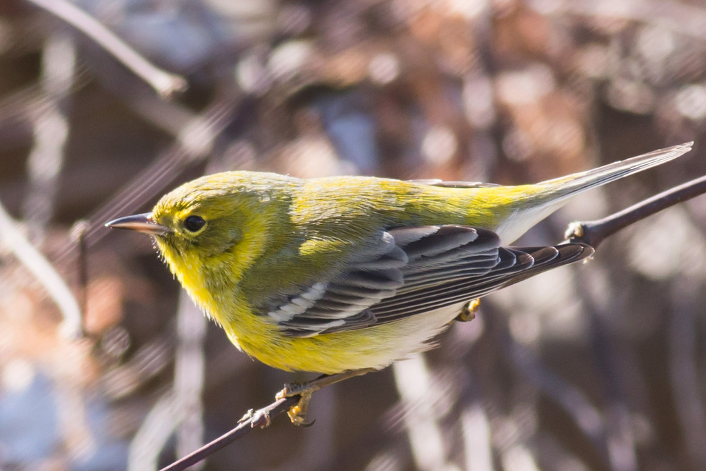
- Pine WarblerDendroica pinus
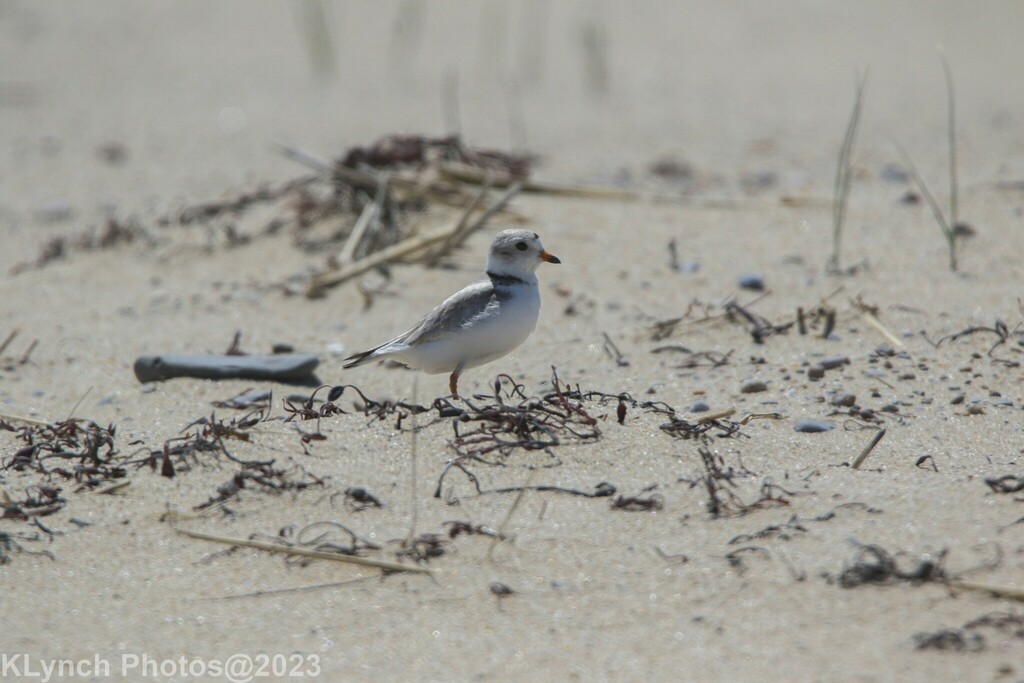
- Piping PloverCharadrius melodus
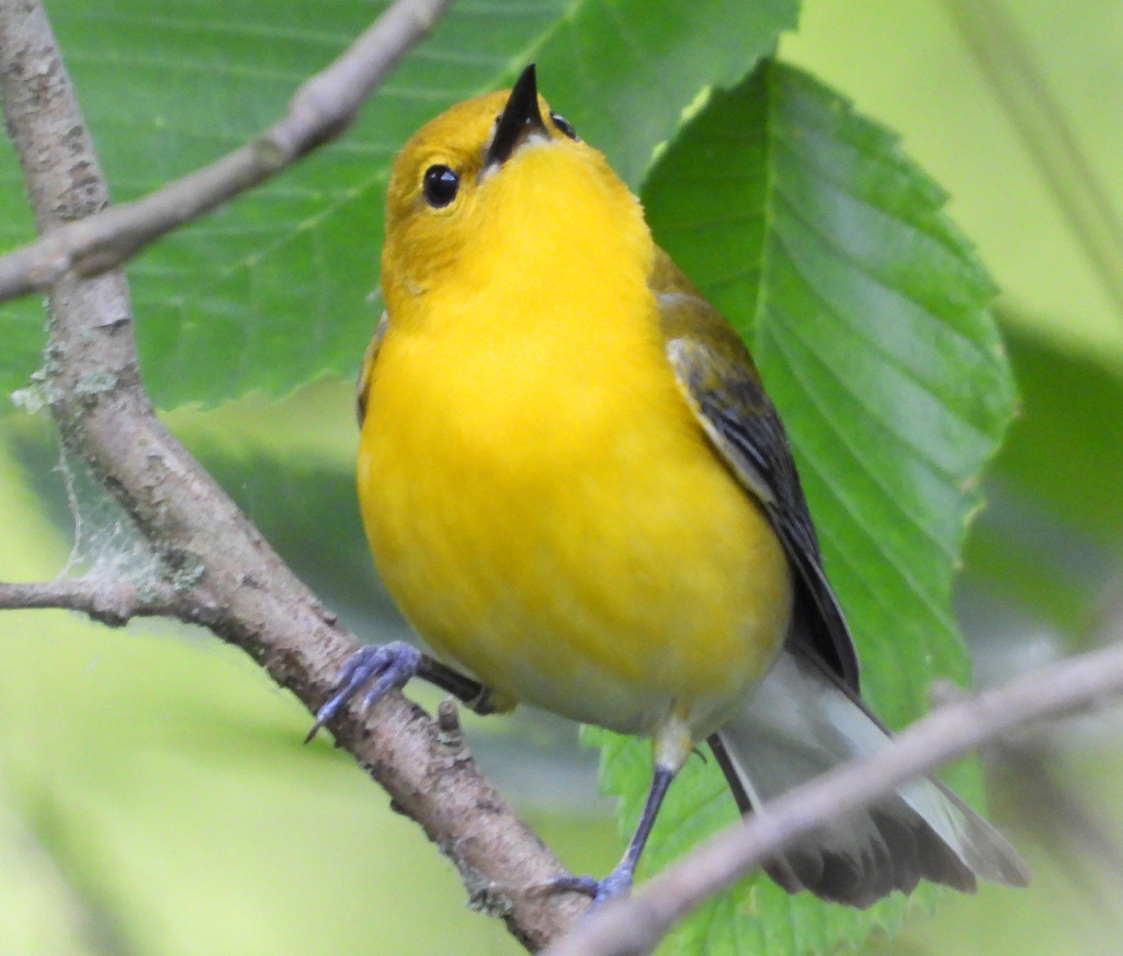
- Prothonotary WarblerProtonotaria citrea
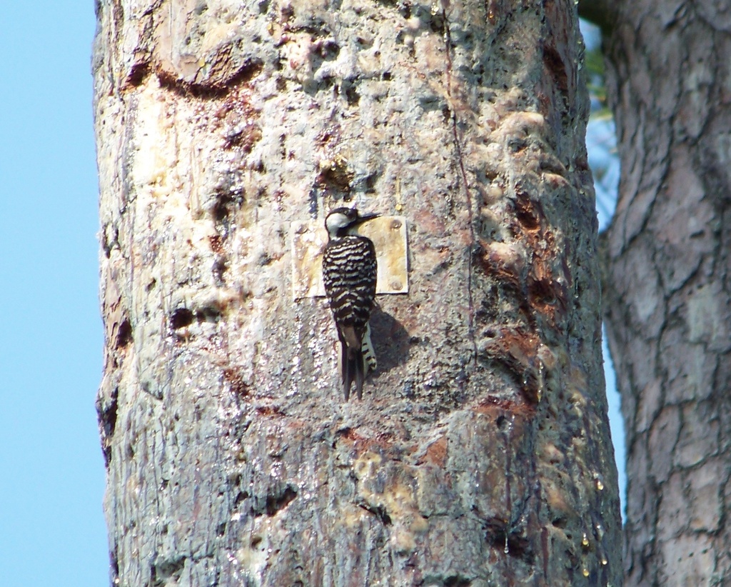
- Red-cockaded WoodpeckerPicoides borealis
- Red-crowned ParrotAmazona viridigenalis
- Rock PigeonColumba livia
- Roseate SpoonbillPlatalea ajaja
- Ruby-throated HummingbirdArchilochus colubris
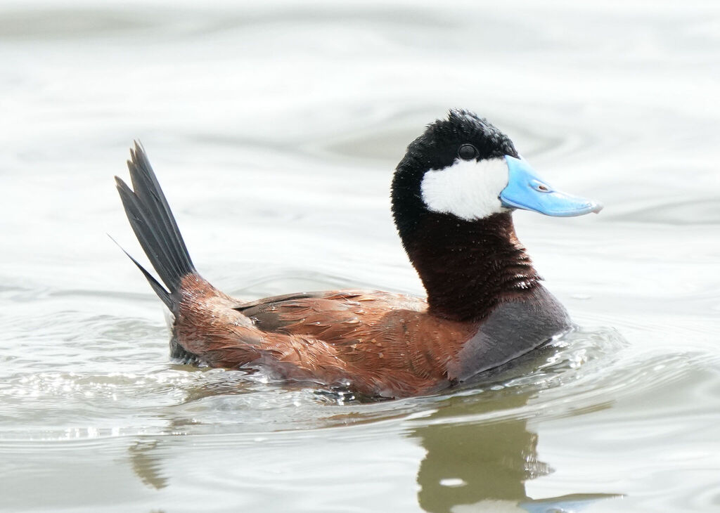
- Ruddy DuckOxyura jamaicensis
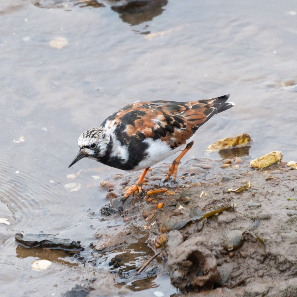
- Ruddy TurnstoneArenaria interpres
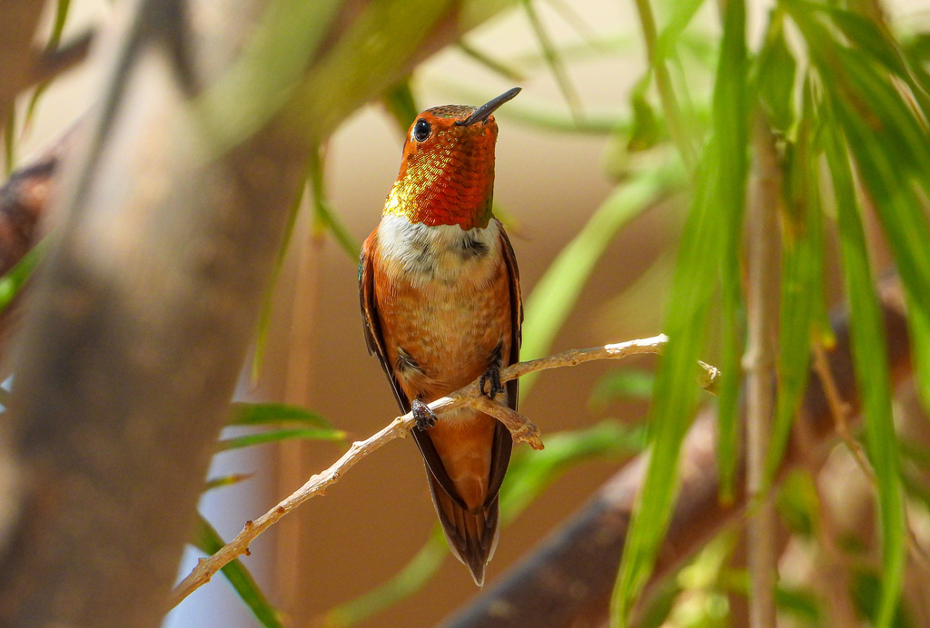
- Rufous HummingbirdSelasphorus rufus
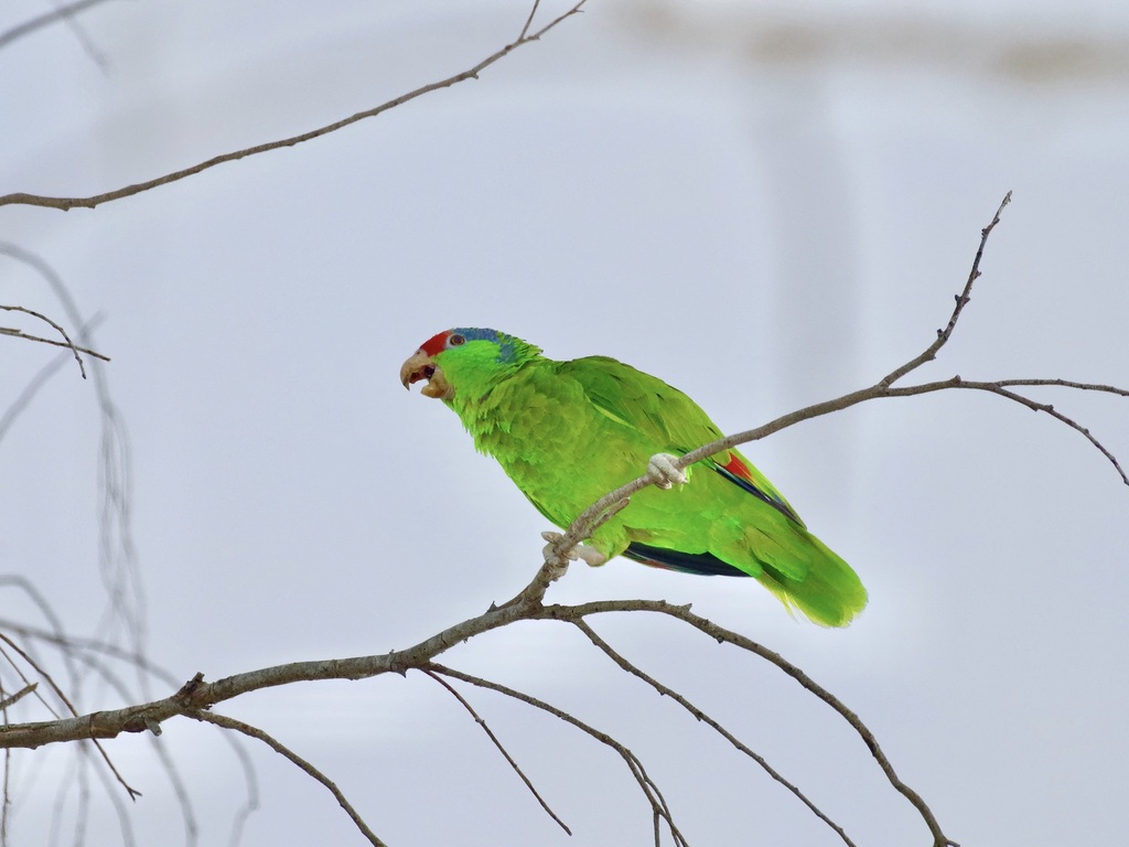
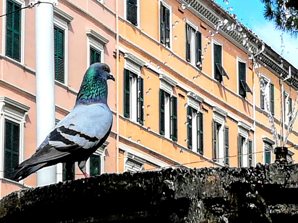
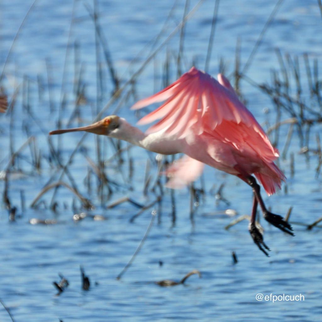
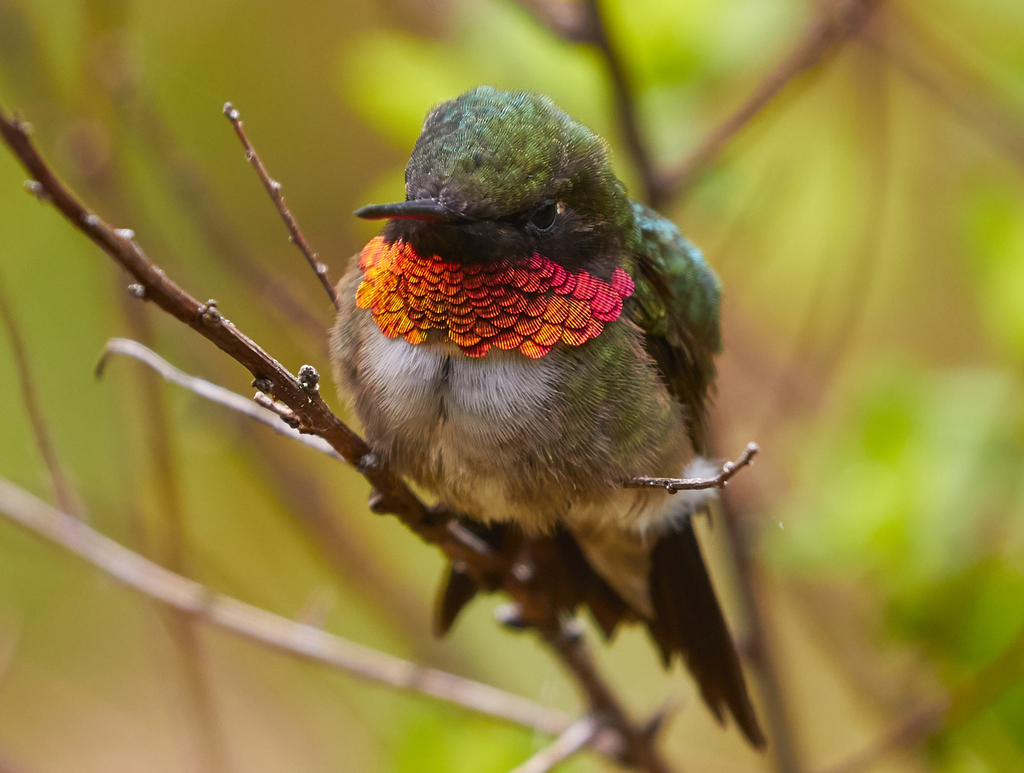
NatureServe Explorer, CC BY 4.0. USGS Gap Analysis Project habitat models.
Sources
- USGS Gap Analysis Project habitat models (2001)
- USGS GAP year-round habitat model for Crested Caracara Elevation 0 to 3,000 m
- USGS Gap Analysis Project range maps (2001), modeled by watershed; migratory gives no dates
- NatureServe Explorer (CC BY 4.0), habitat names
- US Census TIGER/Line counties
- Names follow the USGS Gap Analysis Project (2001)