

Bird
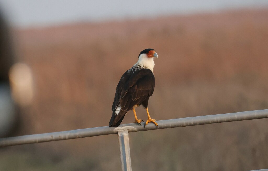
Crested Caracara
Caracara cheriway
Lives in Florida all year and nests here. Found in 18 of 67 counties, across 5 habitats.
- Here
- All year
- Nesting
- Nests here
- Range
- 18 of 67 counties
- Habitats
- 5
At a glance
- Group
- Birds
- Here
- All year
- Nesting
- Nests here
- Range
- 18 of 67 counties
- Habitats
- 5
- Habitat models
- Year-round
Where it lives
The places its habitat model includes. It is not found everywhere a habitat occurs.
Habitats in Florida 5
Each habitat page lists the plants and wildlife also found there.
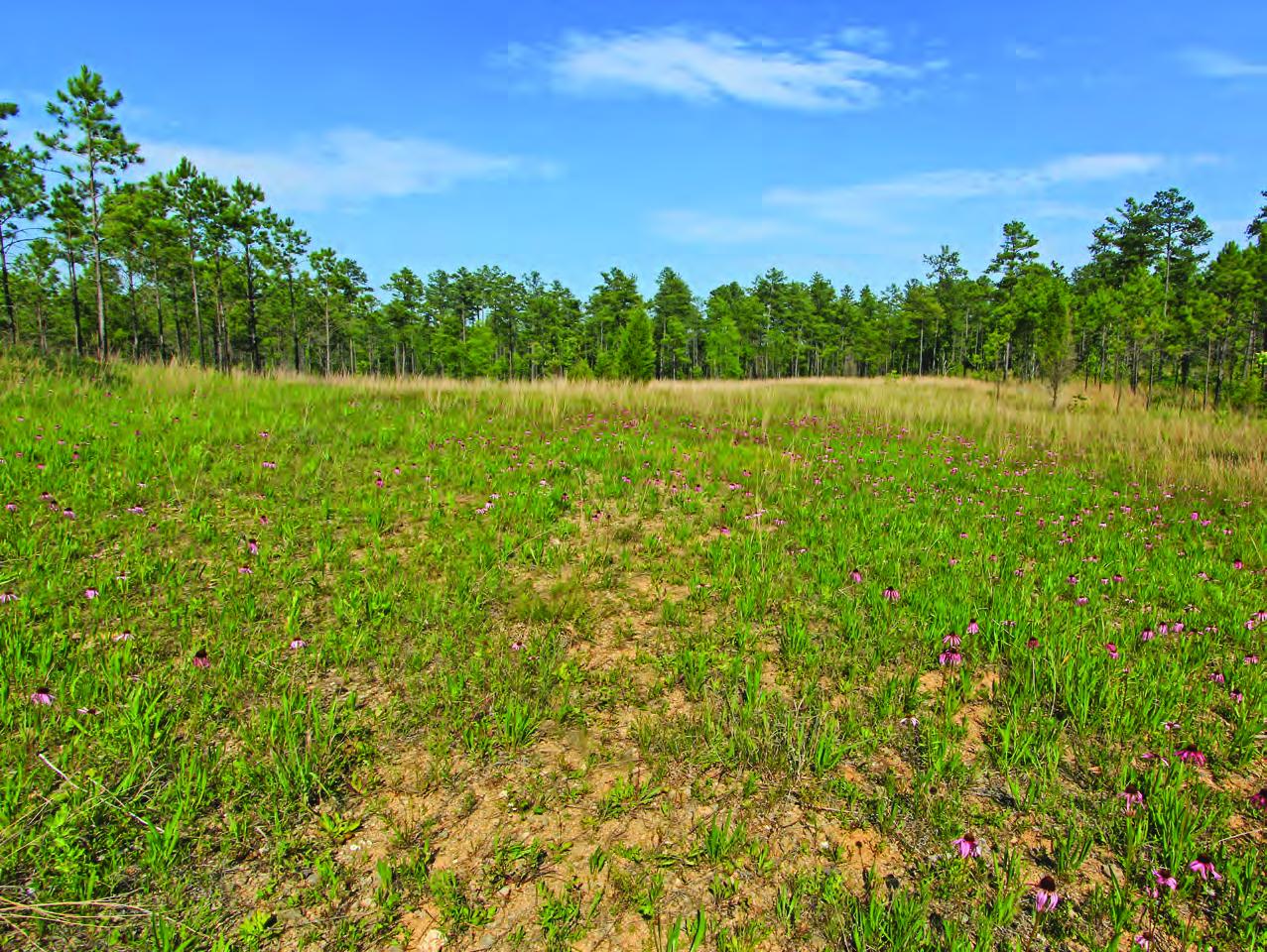
Depression ponds and limesinks
Shallow ponds in Coastal Plain depressions, such as limesinks and the ponds in some Carolina bays, that rise and fall with the seasons.
Evergreen scrub oaks, sand pine and rosemary on deep, white, drought-prone sand ridges, burned rarely but intensely; distinct from the longleaf and turkey oak sandhills.
Flat, sandy Coastal Plain pine woodlands, wetter than sandhills and denser than savannas.
Roadsides, fields and disturbed ground
Ground opened by people: roadsides, old fields, pastures, fencerows and lots.
Other habitats in its models (8)
Land cover, or classes with no habitat page in Florida.
- Developed, Low Intensity Year-round.
- Texas Coastal Bend Beach Year-round.
- Tamaulipan Mesquite Upland Scrub Year-round.
- West Gulf Coastal Plain Catahoula Barrens Year-round.
- Introduced Upland Vegetation - Annual Grassland Year-round.
- Modified/Managed Southern Tall Grassland Year-round.
- Central Florida Herbaceous Seep Year-round.
- Texas Saline Coastal Prairie Year-round.
Seasons in Florida
- Year-round: nests here, in 18 of 67 counties.
Also found in this habitat
Plants 108
Plants named in NatureServe descriptions of these habitats that grow in Florida. Shared habitat, not food.
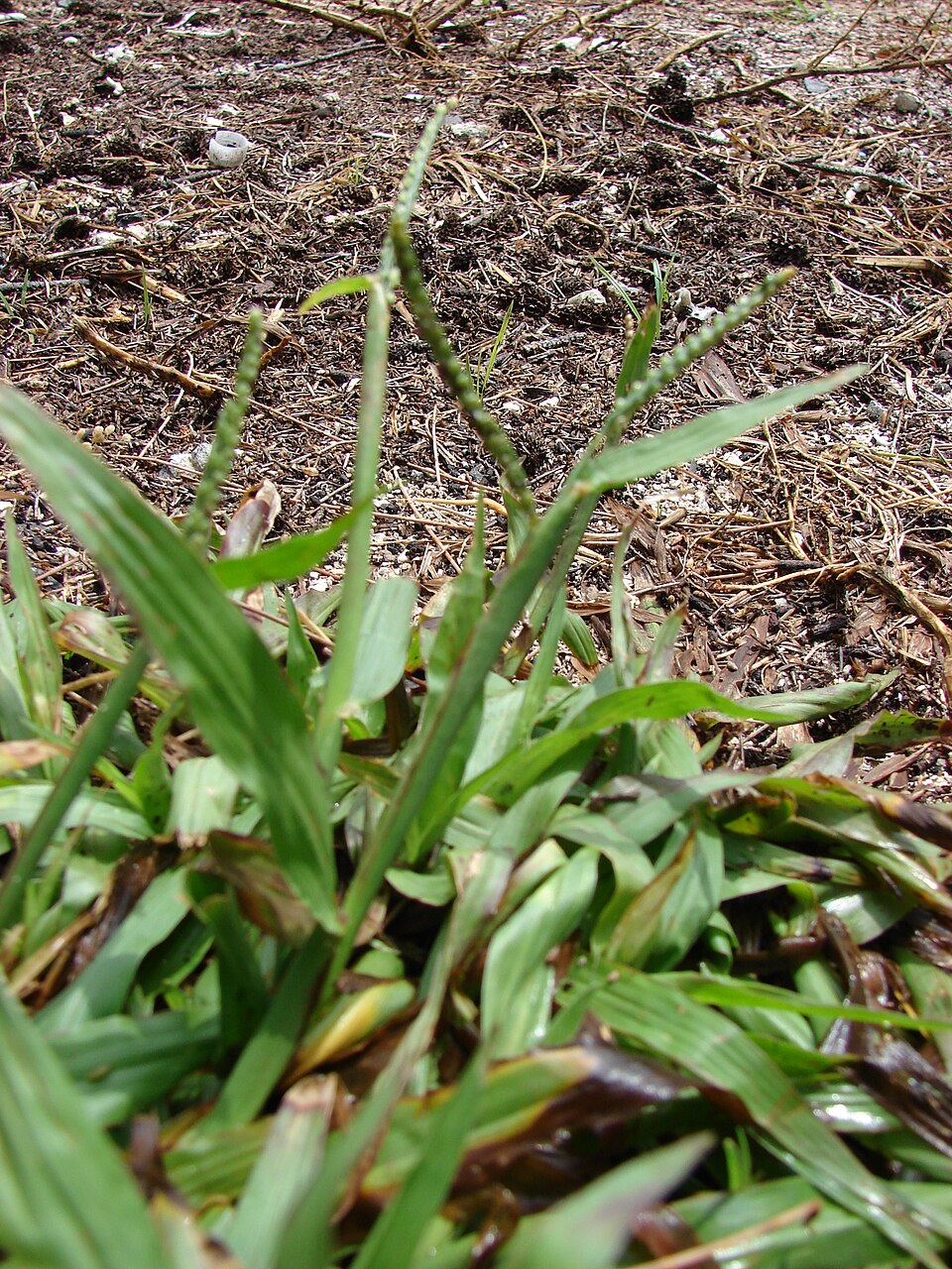
- Thin CrowngrassPaspalum setaceum
- Swamp RedbayPersea palustris
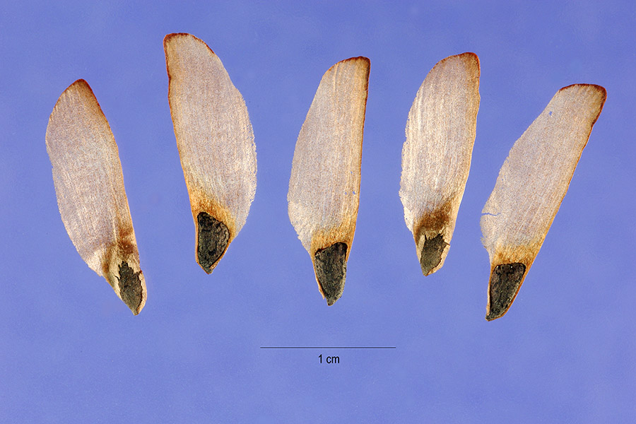
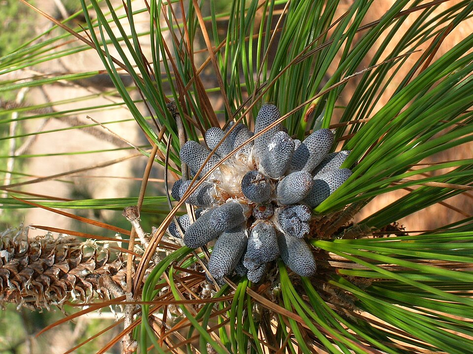
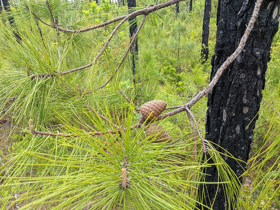
- Sand PinePinus clausa
- Slash PinePinus elliottii
- Longleaf PinePinus palustris
- Pond PinePinus serotina
- Platanthera blephariglottis var. conspicuaPlatanthera blephariglottis var. conspicua
- Platanthera chapmaniiPlatanthera chapmanii
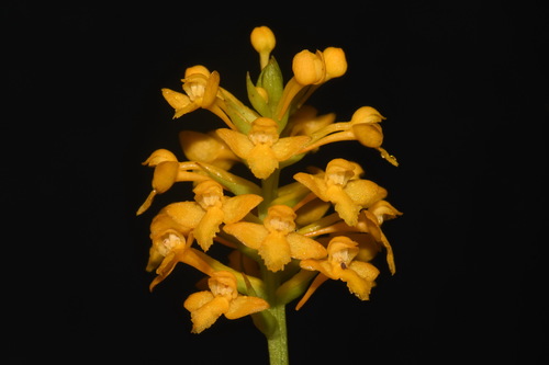
- Yellow Fringeless OrchidPlatanthera integra
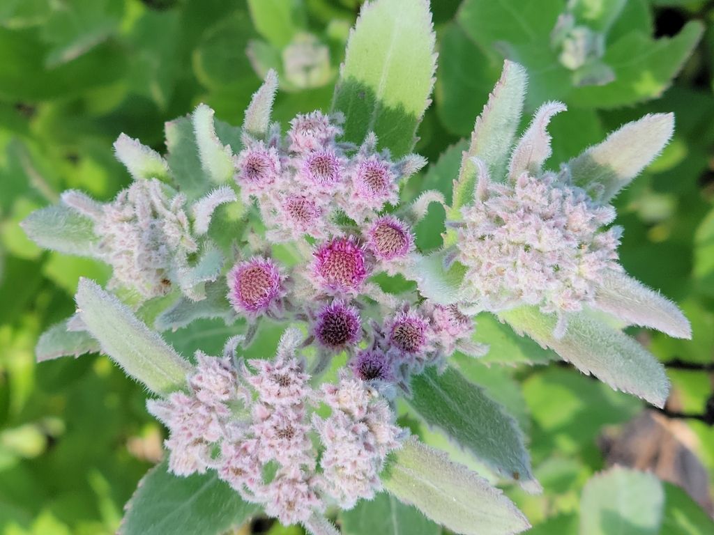
- Rosy CamphorweedPluchea baccharis
- Camphor PlucheaPluchea camphorata
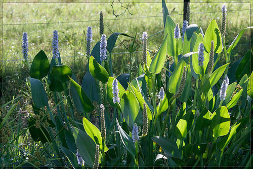
- PickerelweedPontederia cordata
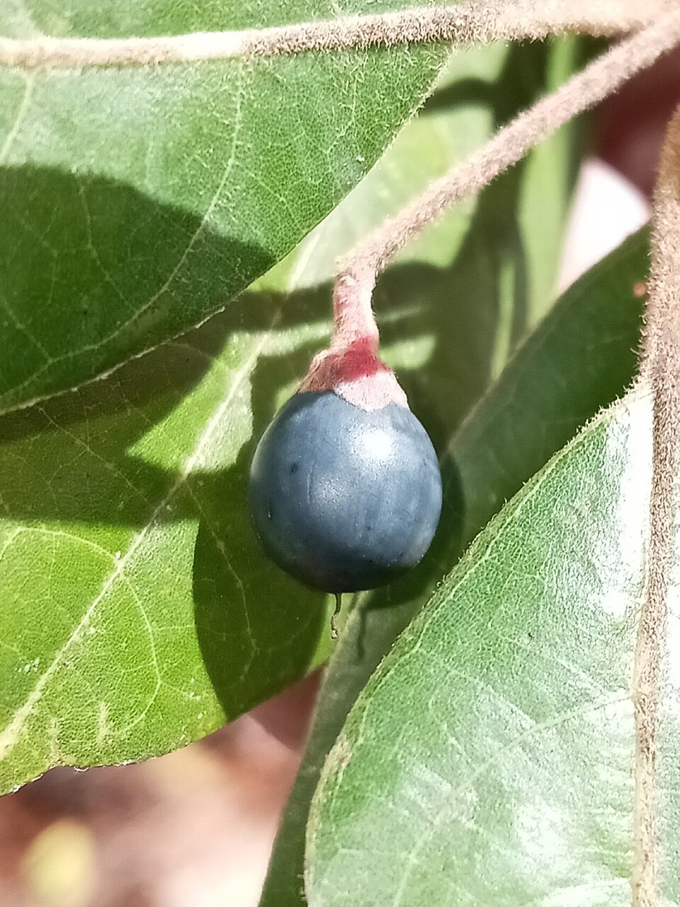
- Scrub PlumPrunus geniculata
- Turkey OakQuercus laevis
- Quercus myrtifoliaQuercus myrtifolia
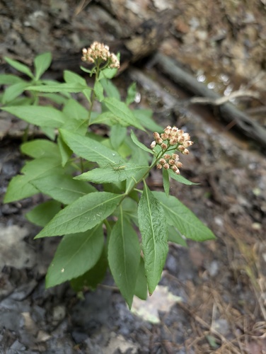
- Rhynchosia michauxiiRhynchosia michauxii
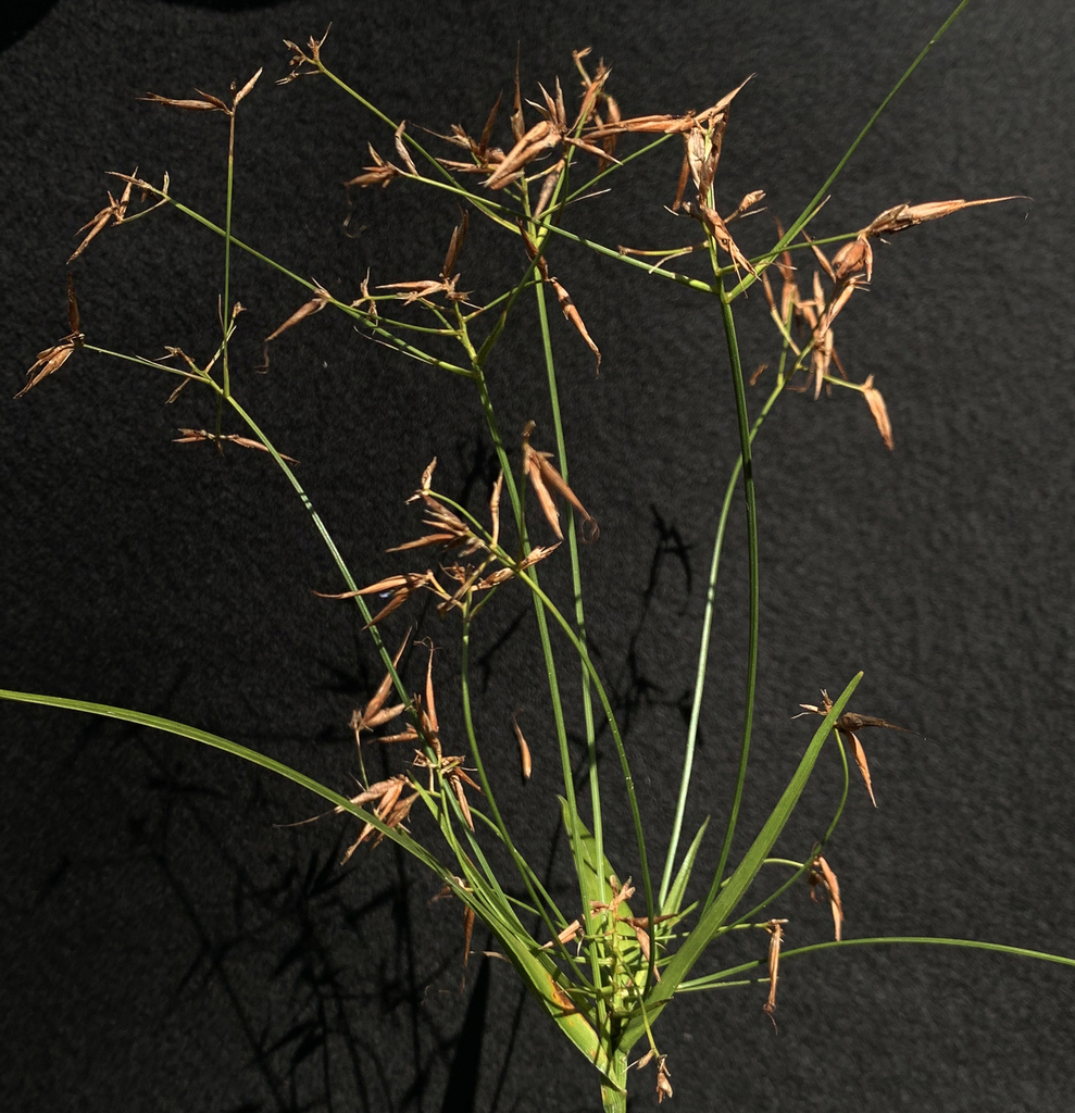
- Rhynchospora fernaldiiRhynchospora fernaldii
- Narrow-fruit Horned BeaksedgeRhynchospora inundata
- Sandy-field BeaksedgeRhynchospora megalocarpa
- Scrub PalmettoSabal etonia
- Cabbage PalmettoSabal palmetto
- Pinescrub BluestemSchizachyrium niveum
- Schizachyrium scoparium var. stoloniferumSchizachyrium stoloniferum
- Lewton's MilkwortSenega lewtonii
Wildlife 233
Other animals whose habitat models include the same habitats in Florida. Not sighting records.
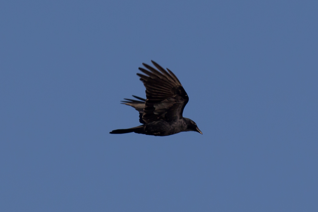
- American CrowCorvus brachyrhynchos
- American GoldfinchCarduelis tristis
- Bank SwallowRiparia riparia
- Chimney SwiftChaetura pelagica
- Cooper's HawkAccipiter cooperii
- Eastern KingbirdTyrannus tyrannus
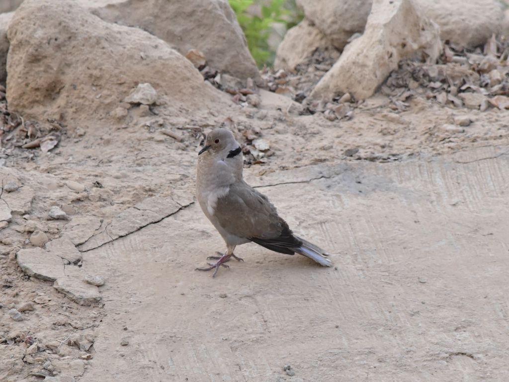
- Eurasian Collared-doveStreptopelia decaocto
- Fish CrowCorvus ossifragus
- Florida Grasshoper SparrowAmmodramus savannarum floridanus
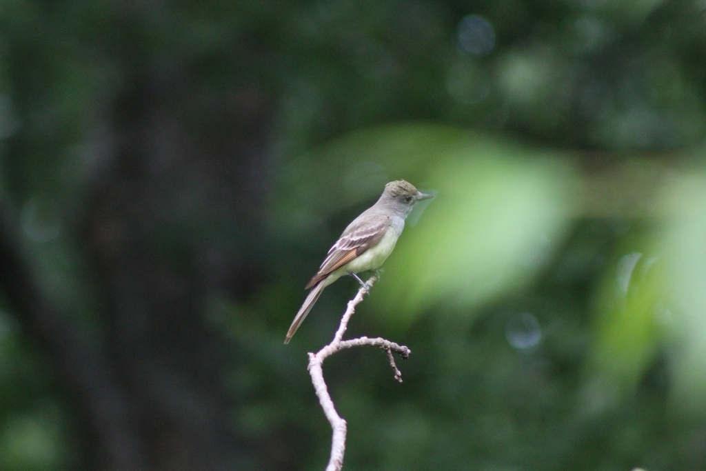
- Great Crested FlycatcherMyiarchus crinitus
- Great Horned OwlBubo virginianus
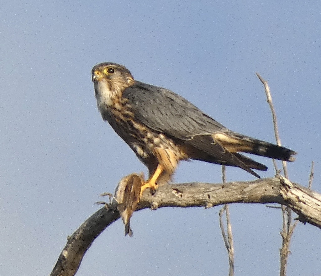
- MerlinFalco columbarius
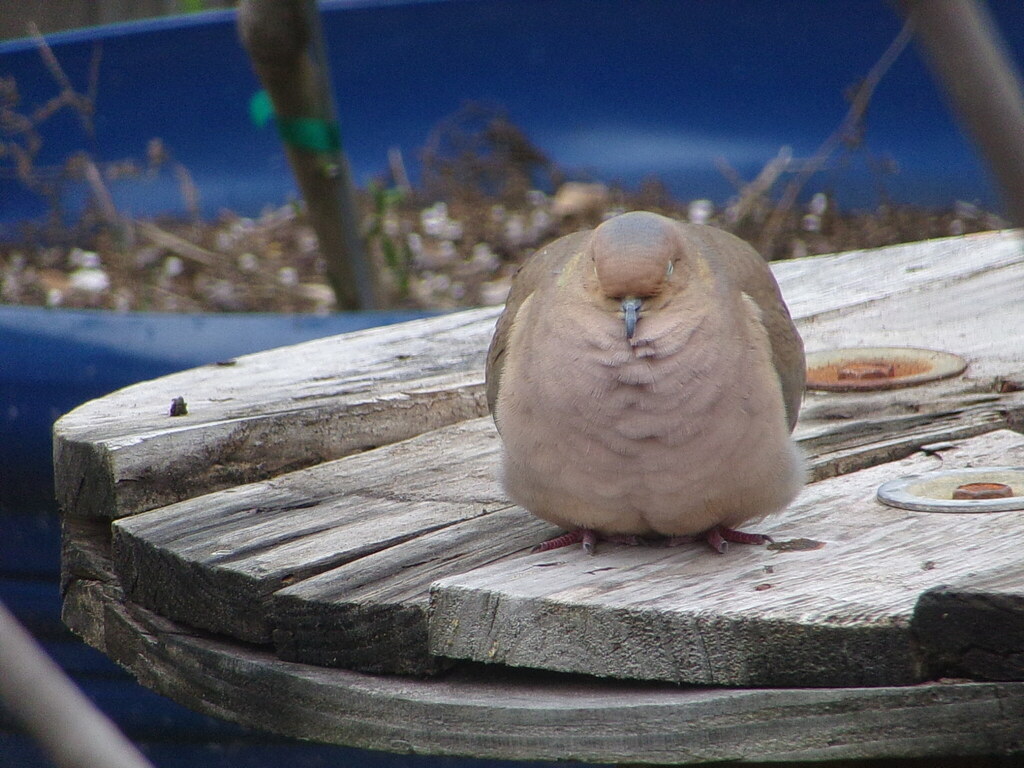
- Mourning DoveZenaida macroura
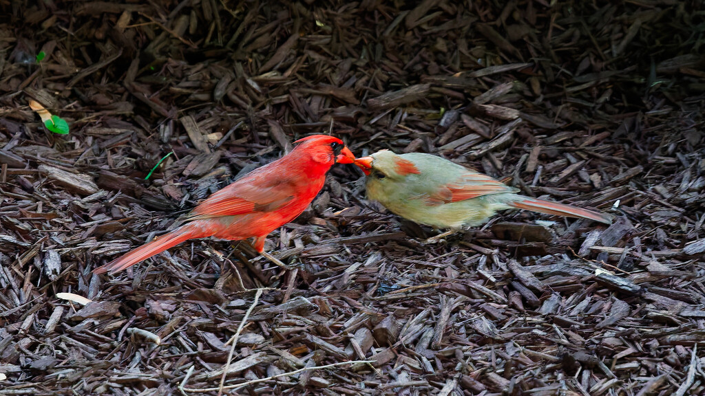
- Northern CardinalCardinalis cardinalis
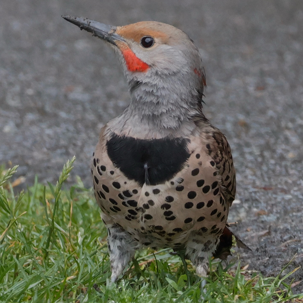
- Northern FlickerColaptes auratus
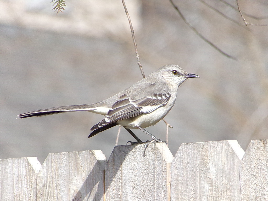
- Northern MockingbirdMimus polyglottos
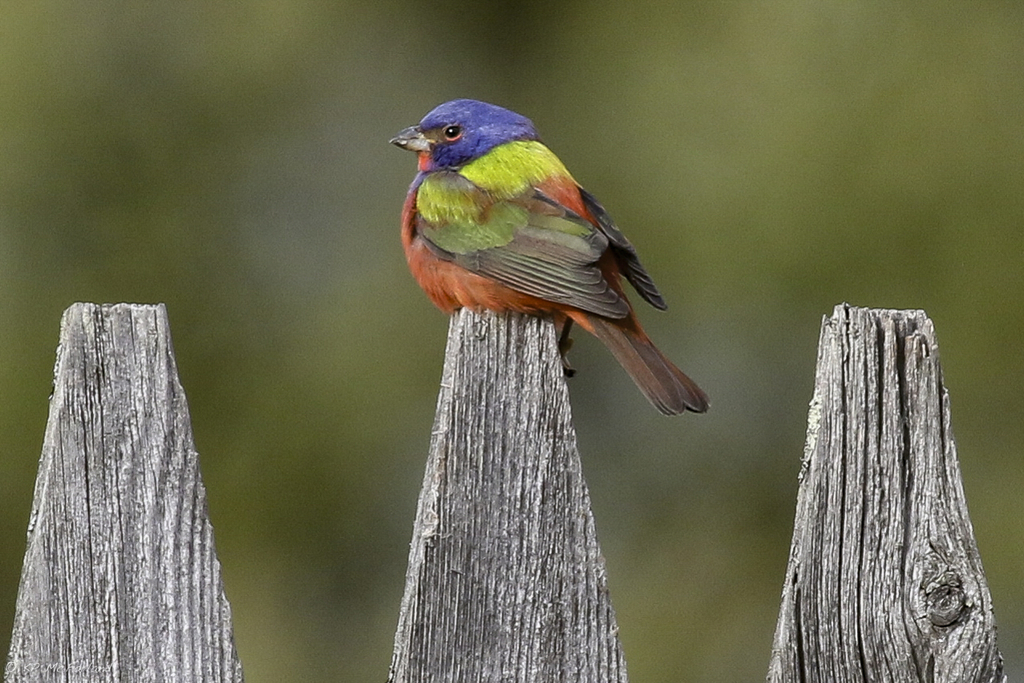
- Painted BuntingPasserina ciris
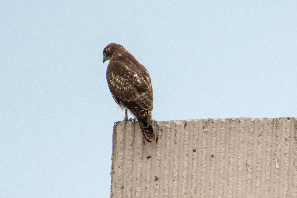
- Red-tailed HawkButeo jamaicensis
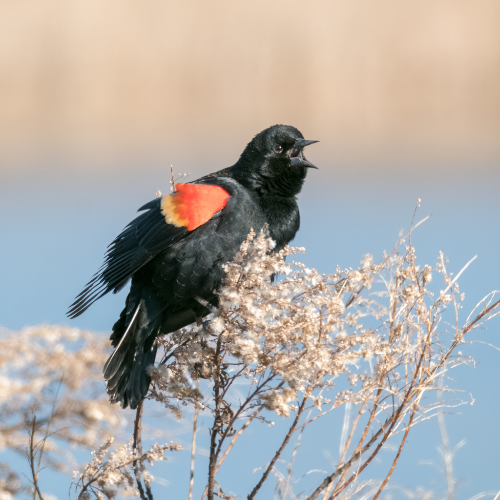
- Red-winged BlackbirdAgelaius phoeniceus
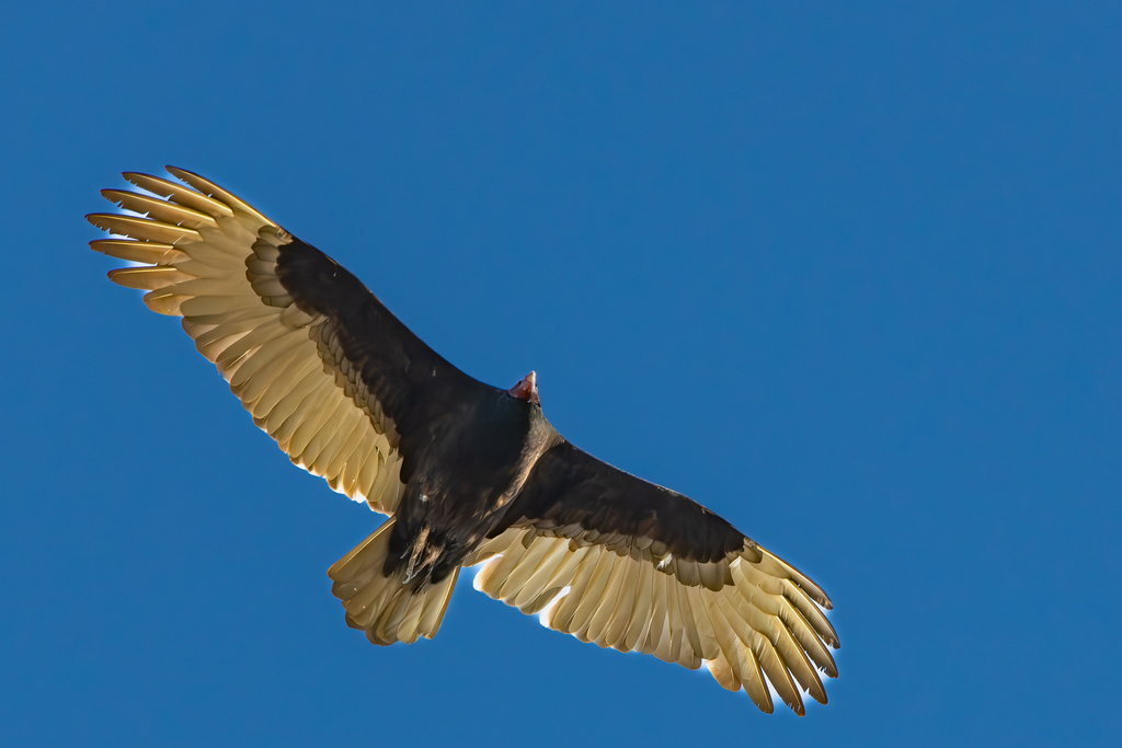
- Turkey VultureCathartes aura
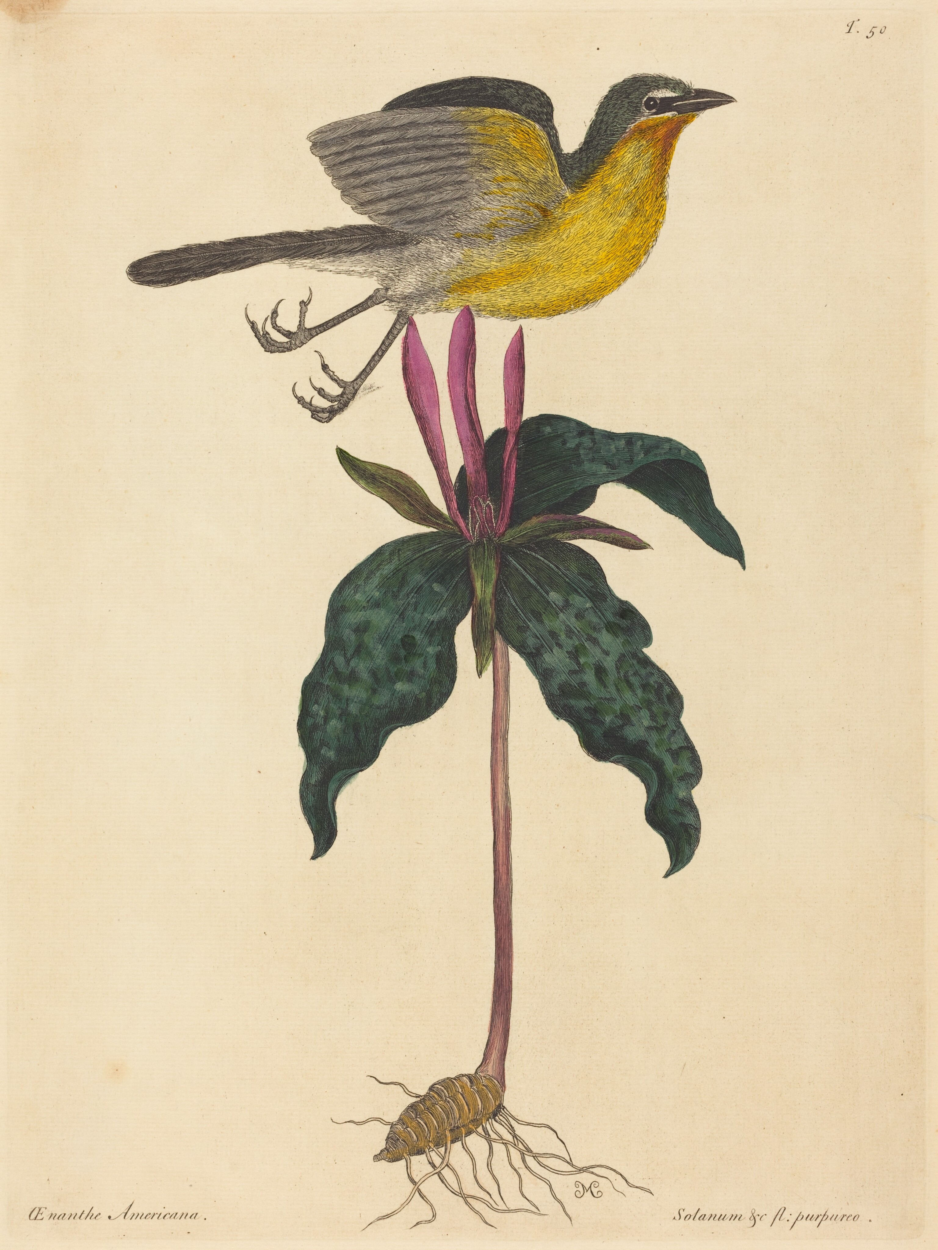
- Yellow-breasted ChatIcteria virens
- American RobinTurdus migratorius
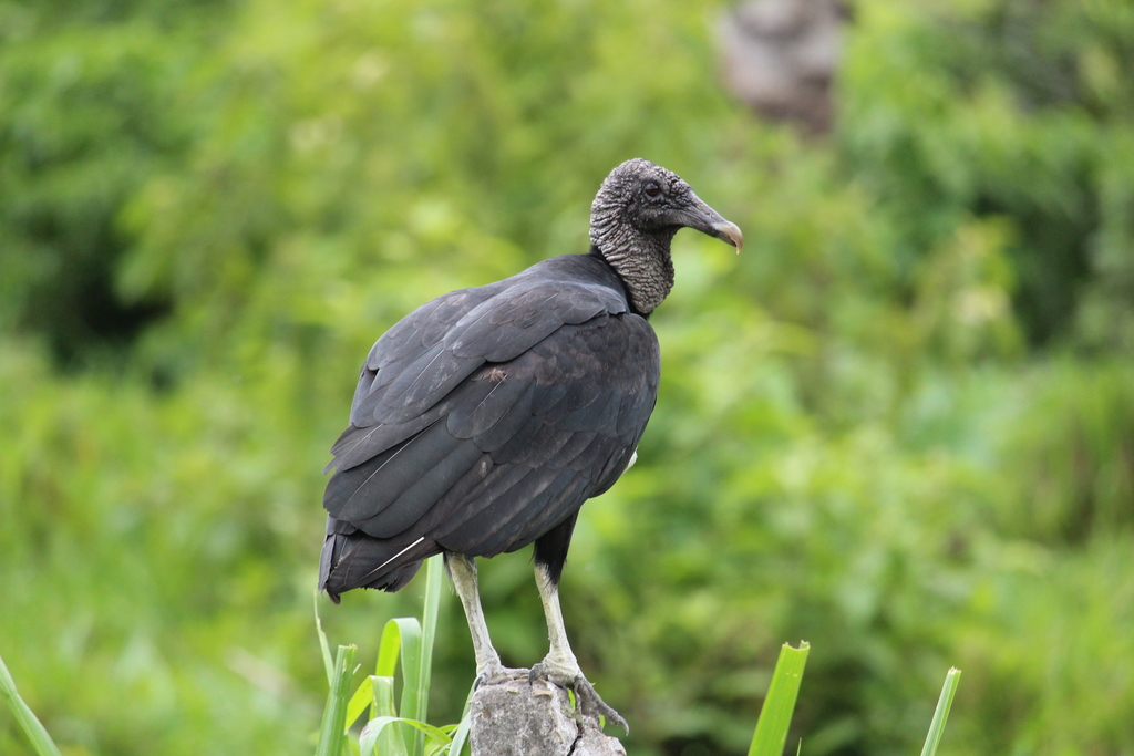
- Black VultureCoragyps atratus
- Black-crowned Night-heronNycticorax nycticorax









NatureServe Explorer, CC BY 4.0. USGS Gap Analysis Project habitat models.
Sources
- USGS Gap Analysis Project habitat models (2001)
- USGS GAP year-round habitat model for Crested Caracara Elevation 0 to 3,000 m
- USGS Gap Analysis Project range maps (2001), modeled by watershed; migratory gives no dates
- NatureServe Explorer (CC BY 4.0), habitat names
- US Census TIGER/Line counties
- Names follow the USGS Gap Analysis Project (2001)