

Bird
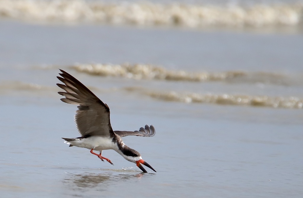
Black Skimmer
Rynchops niger
Lives in Florida all year and nests here. Found in 43 of 67 counties, across 6 habitats.
- Here
- All year
- Nesting
- Nests here
- Range
- 43 of 67 counties
- Habitats
- 6
At a glance
- Group
- Birds
- Here
- All year
- Nesting
- Nests here
- Range
- 43 of 67 counties
- Habitats
- 6
- Habitat models
- Summer, Winter
Where it lives
The places its habitat model includes. It is not found everywhere a habitat occurs.
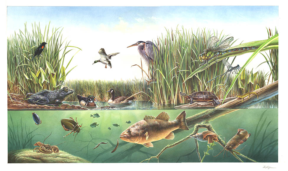
Habitats in Florida 6
Each habitat page lists the plants and wildlife also found there.
Open sand of beaches, dunes and the hollows between them.
Coastal tidal marshes (salinity not stated)
Tidal marshes of the Atlantic and Gulf coasts where the source does not say whether the water is fresh, brackish or salt. A stated salinity files the marsh under freshwater tidal marshes or salt and brackish marshes instead.
Coastal marshes flooded by salty or brackish tides.
Salt and brackish open water of sounds, bays and estuaries, with the mud and sand flats and seagrass beds that tides cover and uncover; the vegetated marsh is salt and brackish marshes.
Other habitats in its models (8)
Land cover, or classes with no habitat page in Florida.
- Unconsolidated Shore (Lake/River/Pond) Summer and winter.
- Unconsolidated Shore Summer and winter.
- Upper Texas Coast Beach Summer and winter.
- Louisiana Beach Summer and winter.
- Texas Coastal Bend Beach Summer and winter.
- Central and Upper Texas Coast Dune and Coastal Grassland Summer and winter.
- Atlantic Coastal Plain Embayed Region Tidal Salt and Brackish Marsh Summer and winter.
- Atlantic Coastal Plain Northern Tidal Salt Marsh Summer and winter.
Seasons in Florida
- Year-round: nests here, in 43 of 67 counties.
Also found in this habitat
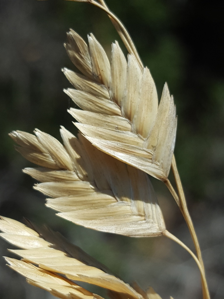
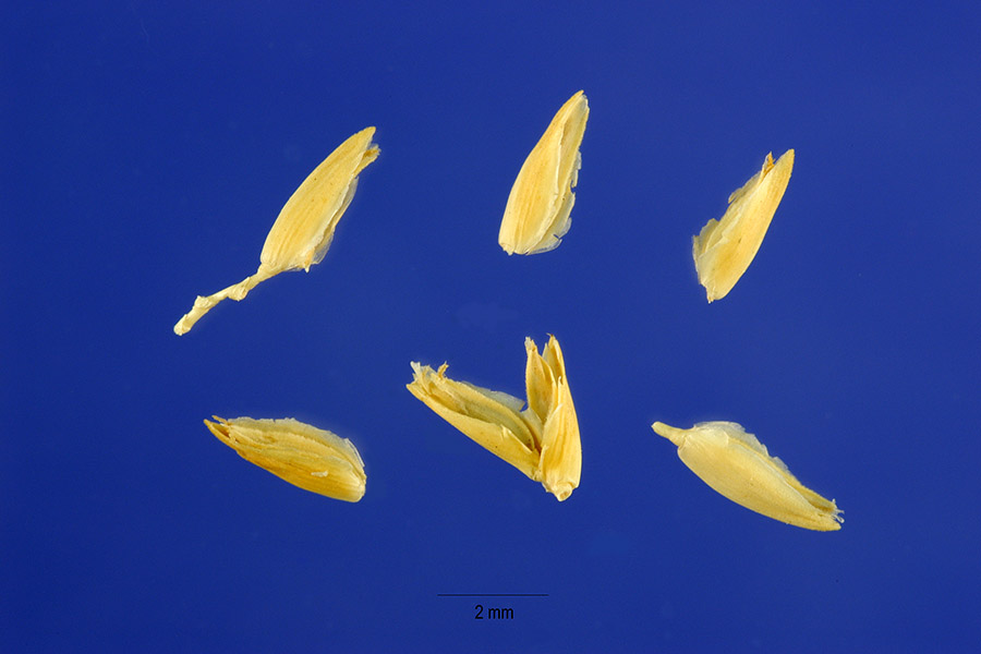
Plants 151
Plants named in NatureServe descriptions of these habitats that grow in Florida. Shared habitat, not food.
- Sea OatsUniola paniculata
- Seashore SaltgrassDistichlis spicata
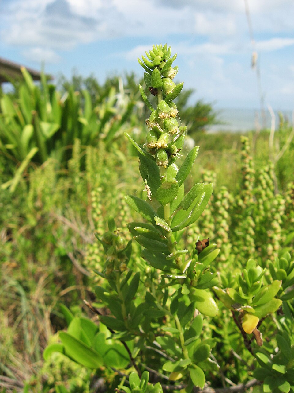
- Dune Marsh-elderIva imbricata
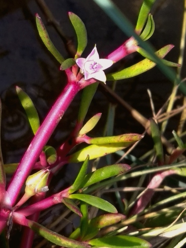
- Shoreline Sea-purslaneSesuvium portulacastrum
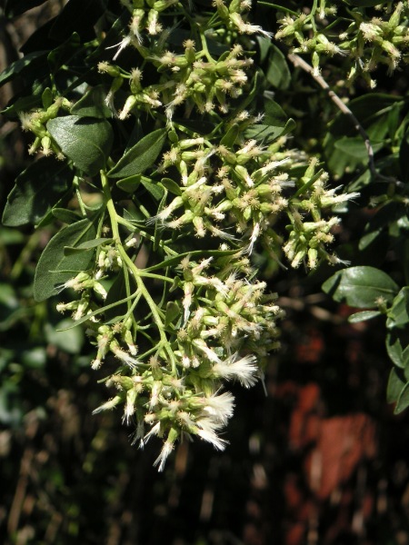
- Groundsel-treeBaccharis halimifolia
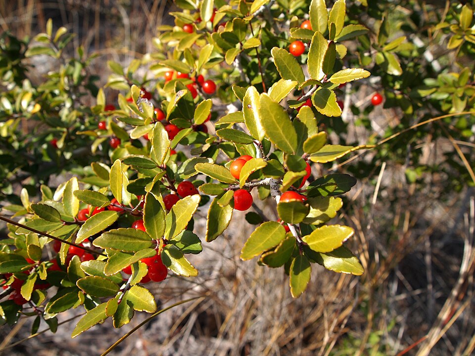
- Yaupon HollyIlex vomitoria
- Black NeedlerushJuncus roemerianus
- Common WaxmyrtleMorella cerifera
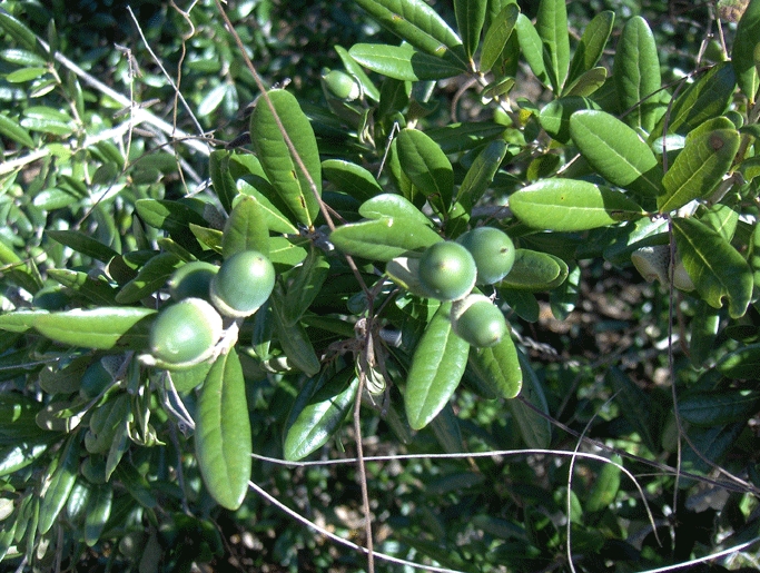
- Sand Live OakQuercus geminata
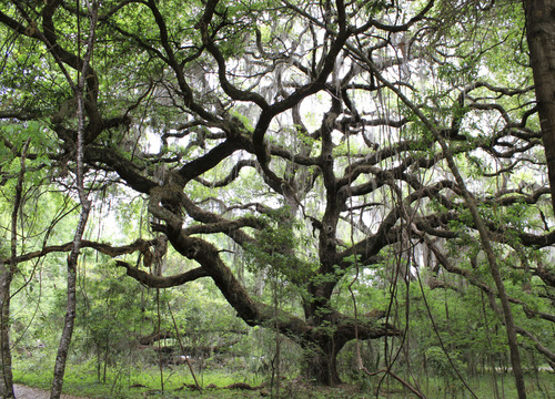
- Live OakQuercus virginiana
- Serenoa repensSerenoa repens
- Saltmarsh CordgrassSpartina alterniflora
- Saltmeadow CordgrassSpartina patens
- Tropical WaxweedCuphea aspera
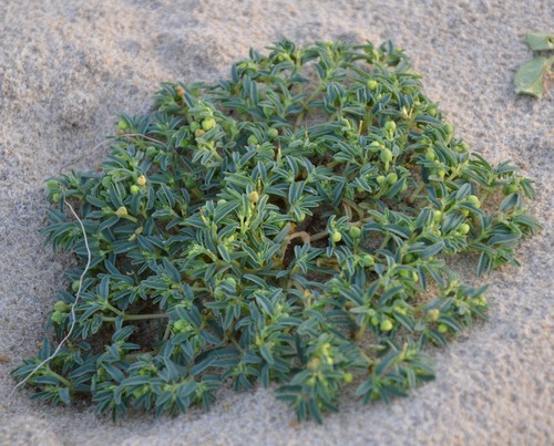
- Northern Seaside SpurgeEuphorbia polygonifolia
- Common Three Square BulrushSchoenoplectus pungens
- Seashore DropseedSporobolus virginicus
- Archidium minusArchidium minus
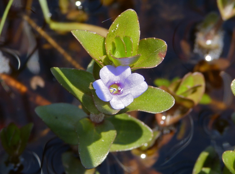
- Blue Water-hyssopBacopa caroliniana
- Batis maritimaBatis maritima
- Sea OxeyeBorrichia frutescens
- Coastal SearocketCakile lanceolata
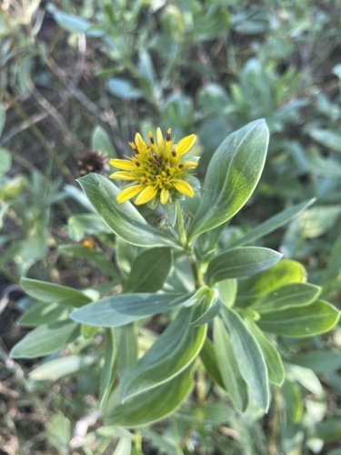
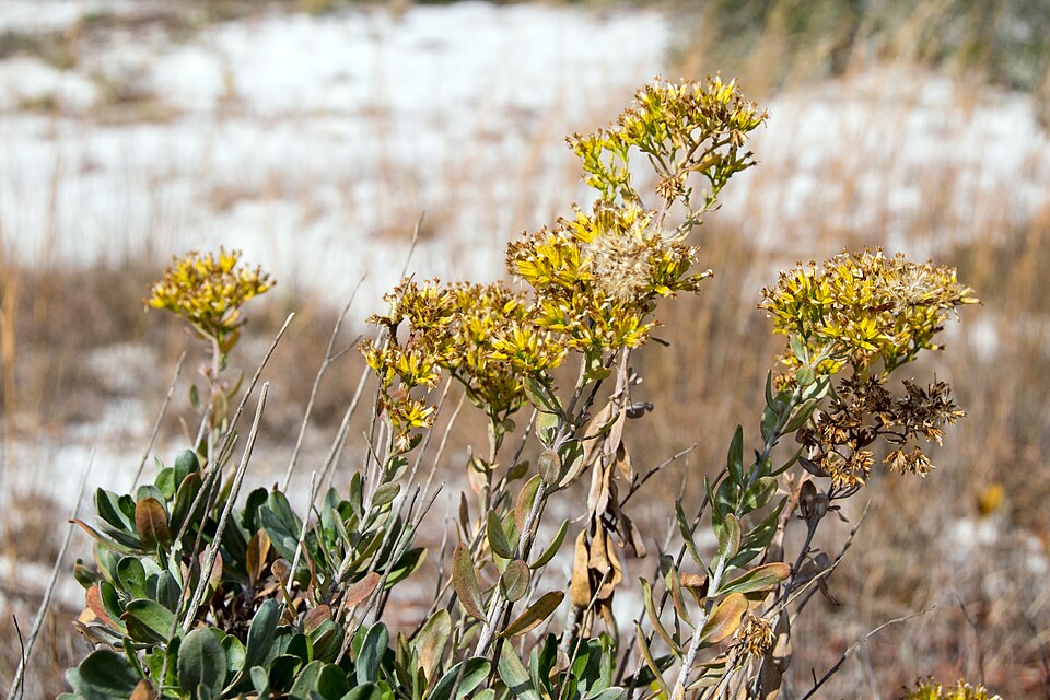
- Woody GoldenrodChrysoma pauciflosculosa
- Gulf Coast SpikerushEleocharis cellulosa

Wildlife 207
Other animals whose habitat models include the same habitats in Florida. Not sighting records.
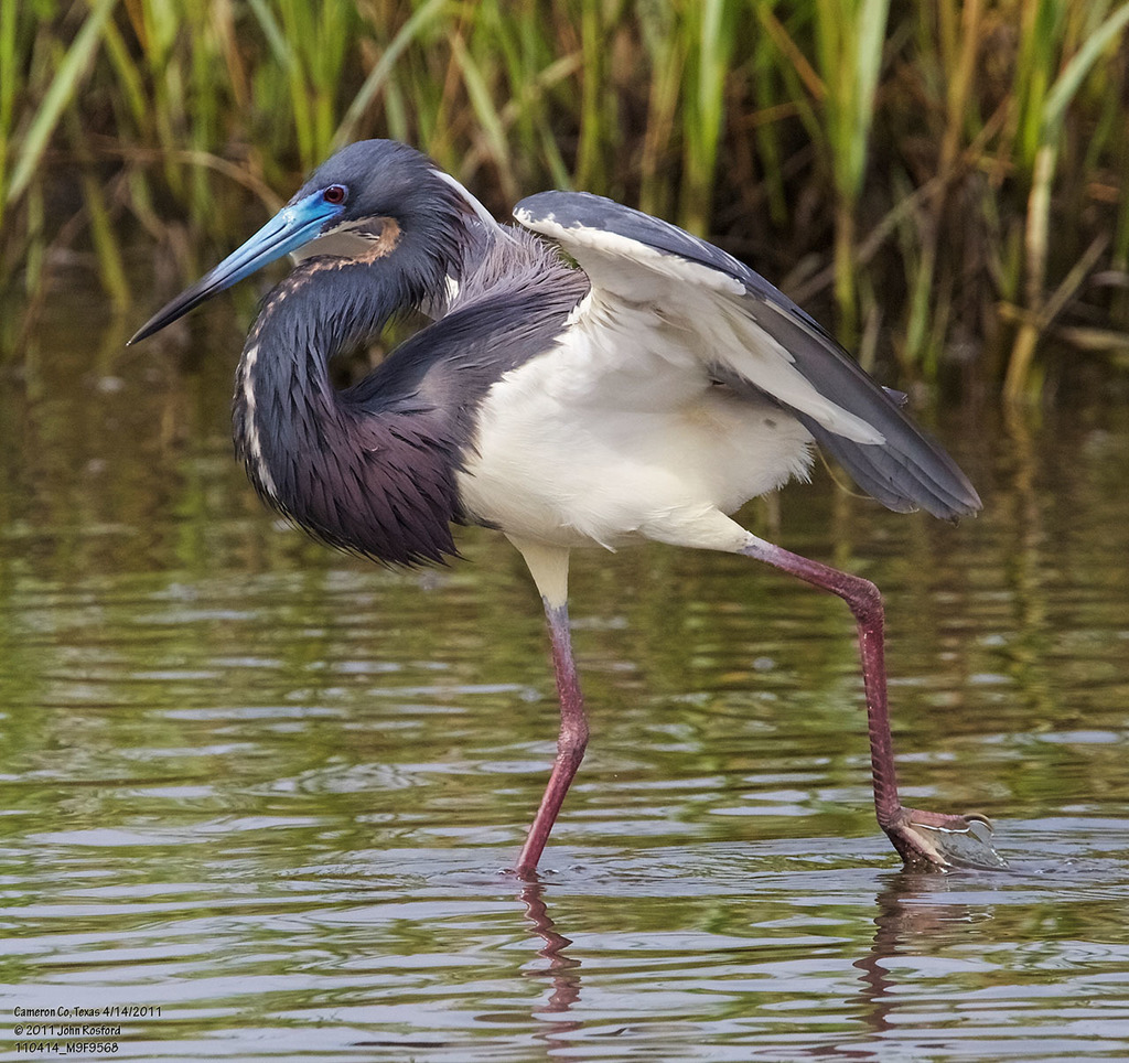
- Tricolored HeronEgretta tricolor
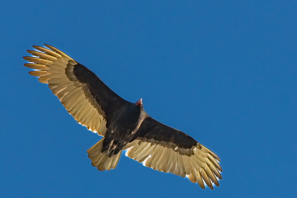
- Turkey VultureCathartes aura
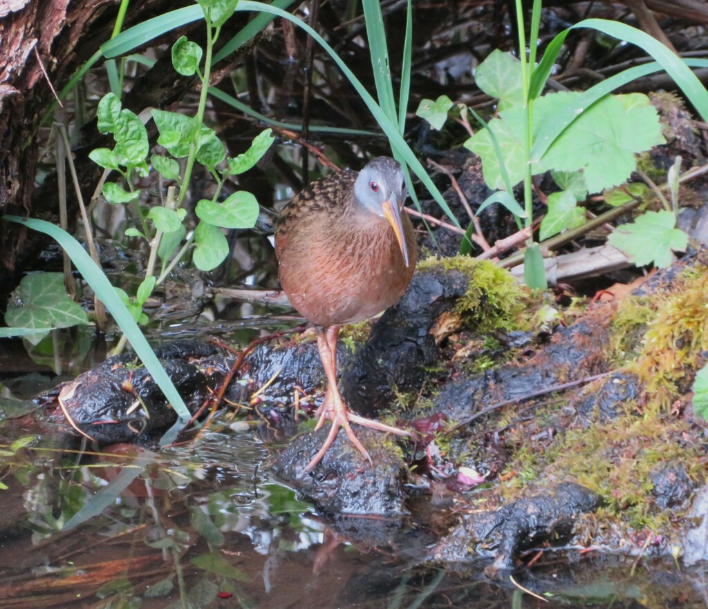
- Virginia RailRallus limicola
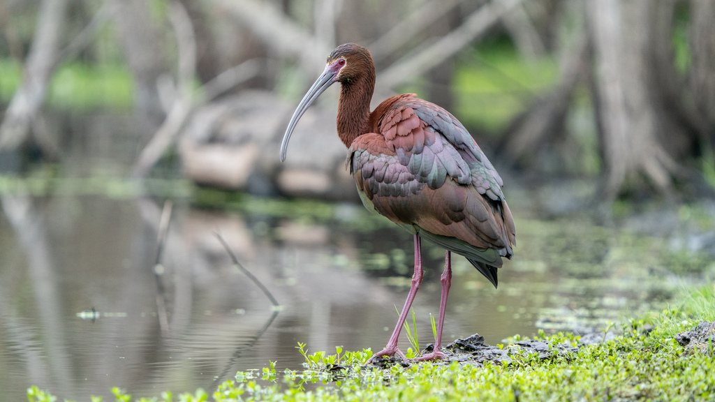
- White-faced IbisPlegadis chihi
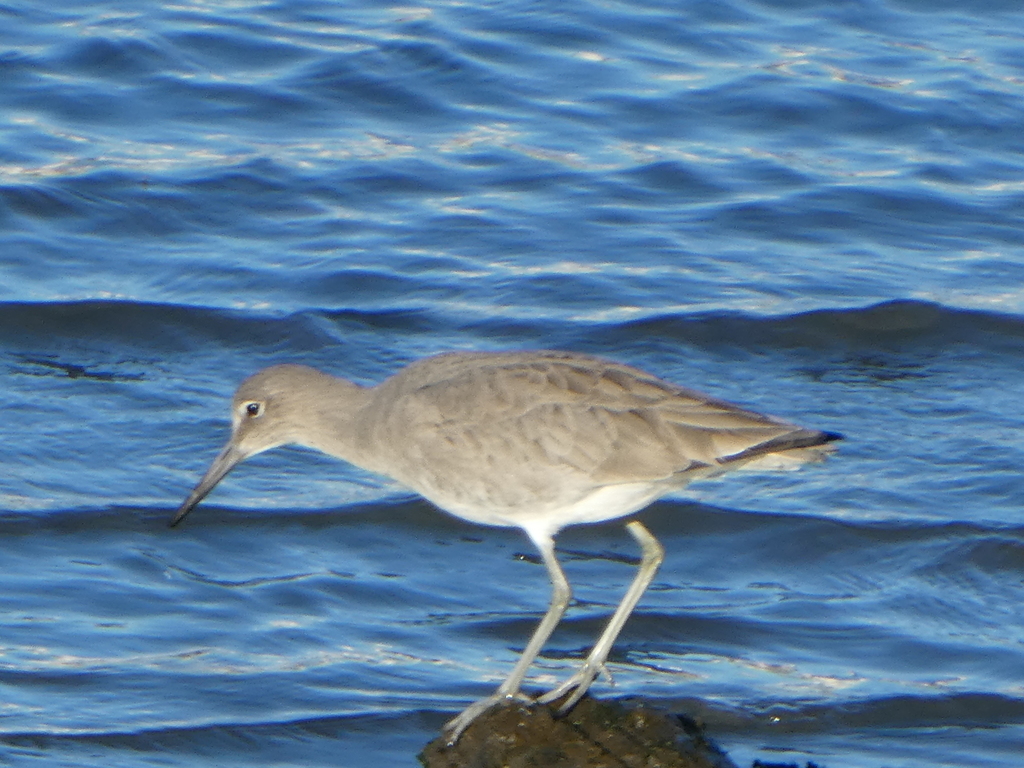
- WilletTringa semipalmata
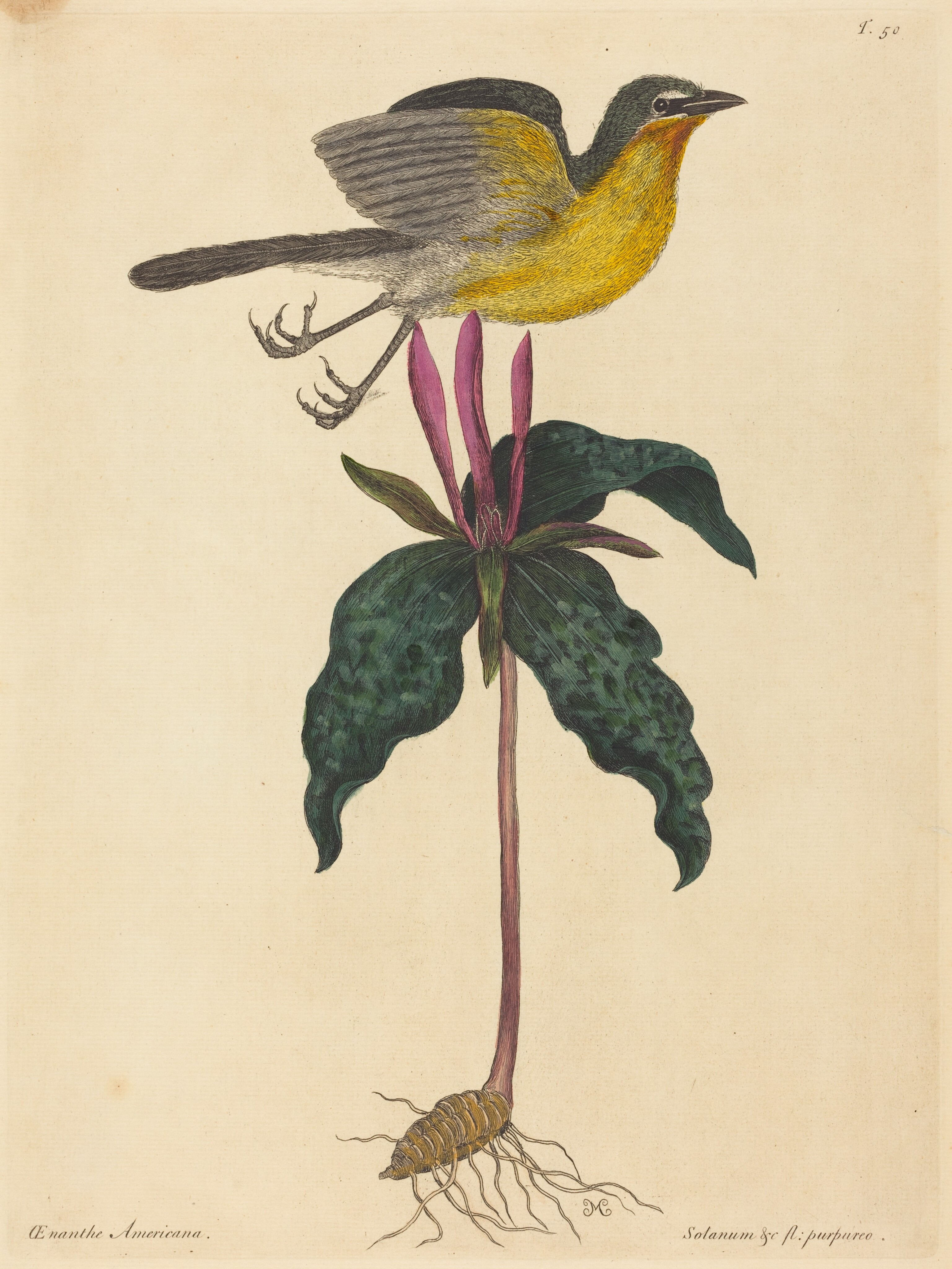
- Yellow-breasted ChatIcteria virens
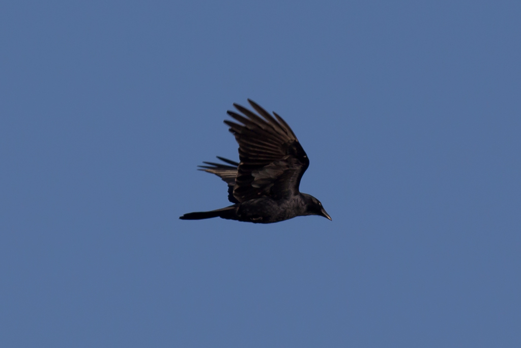
- American CrowCorvus brachyrhynchos
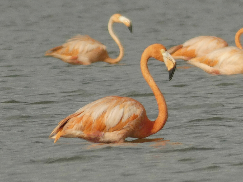
- American FlamingoPhoenicopterus ruber
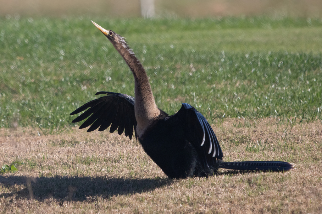
- AnhingaAnhinga anhinga
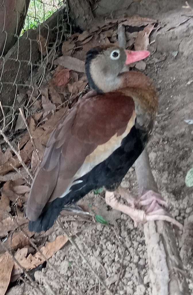
- Black-bellied Whistling-DuckDendrocygna autumnalis
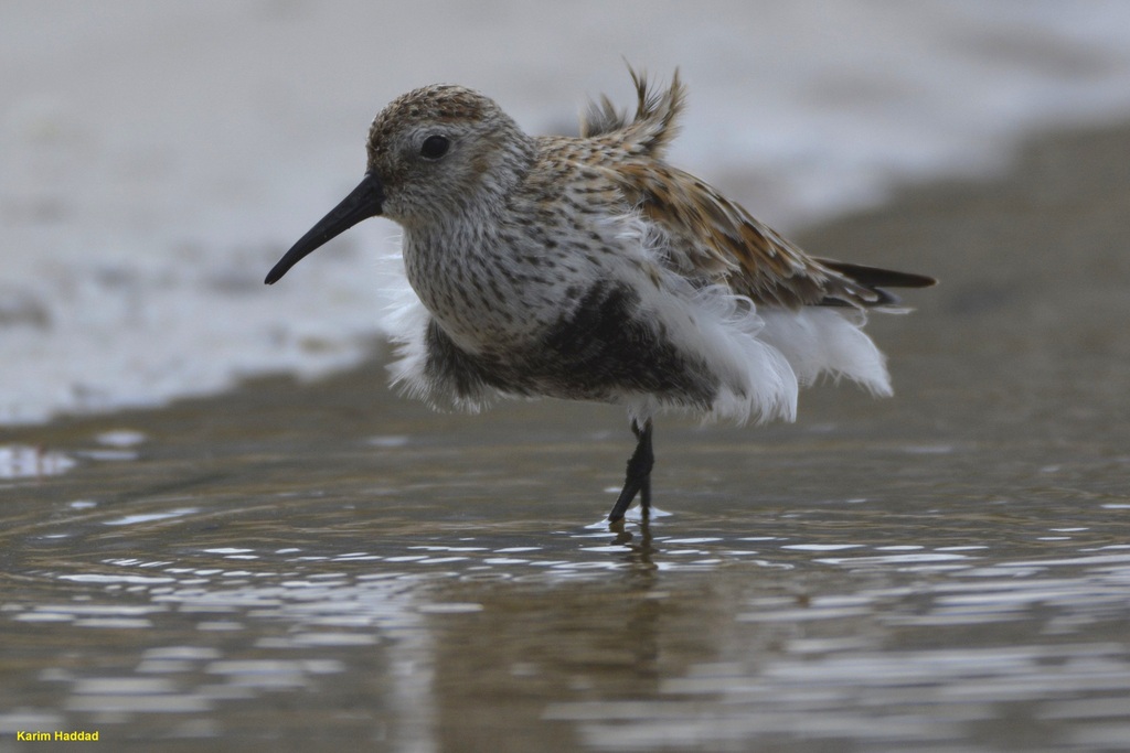
- DunlinCalidris alpina
- Eastern KingbirdTyrannus tyrannus
- Fish CrowCorvus ossifragus
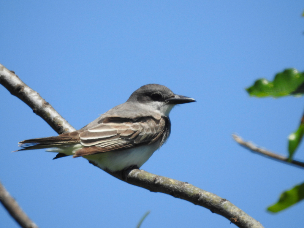
- Gray KingbirdTyrannus dominicensis
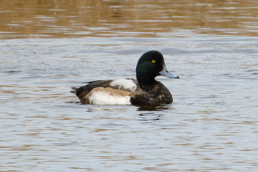
- Greater ScaupAythya marila
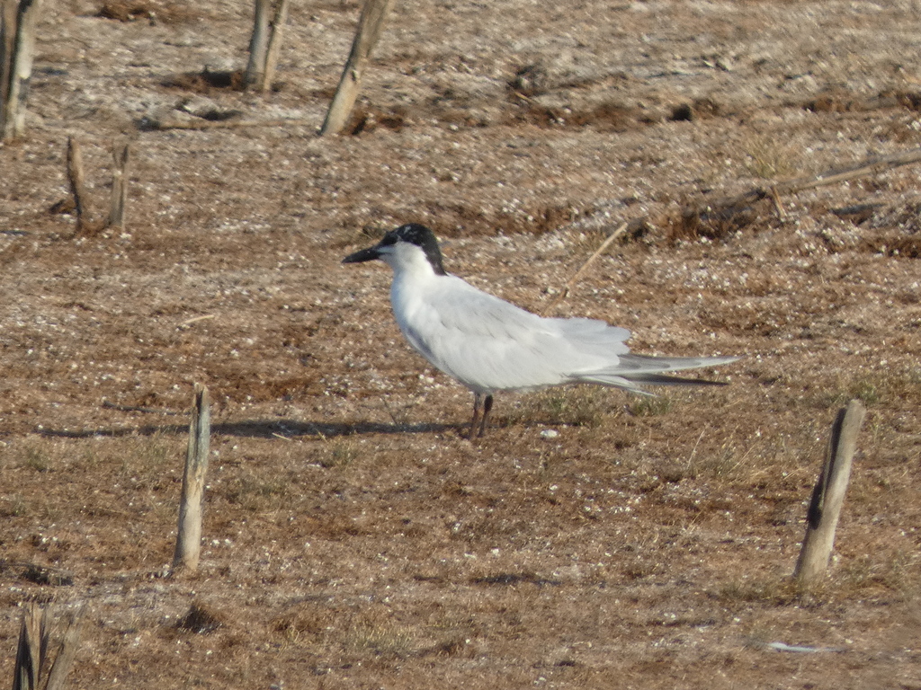
- Gull-billed TernGelochelidon nilotica
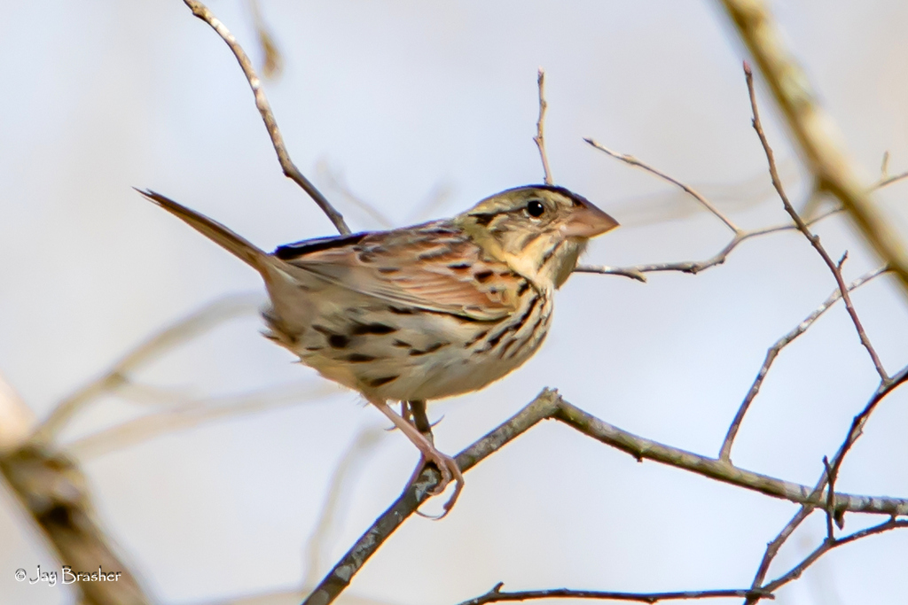
- Henslow's SparrowAmmodramus henslowii
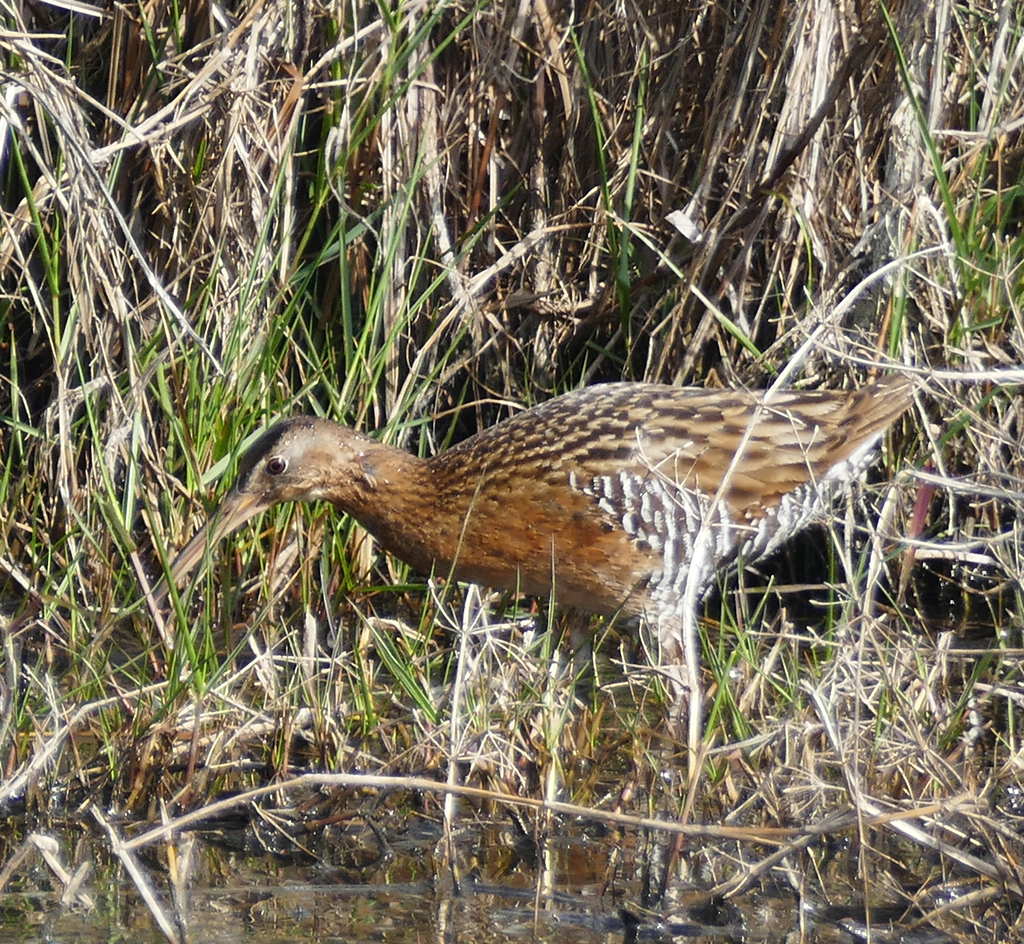
- King RailRallus elegans
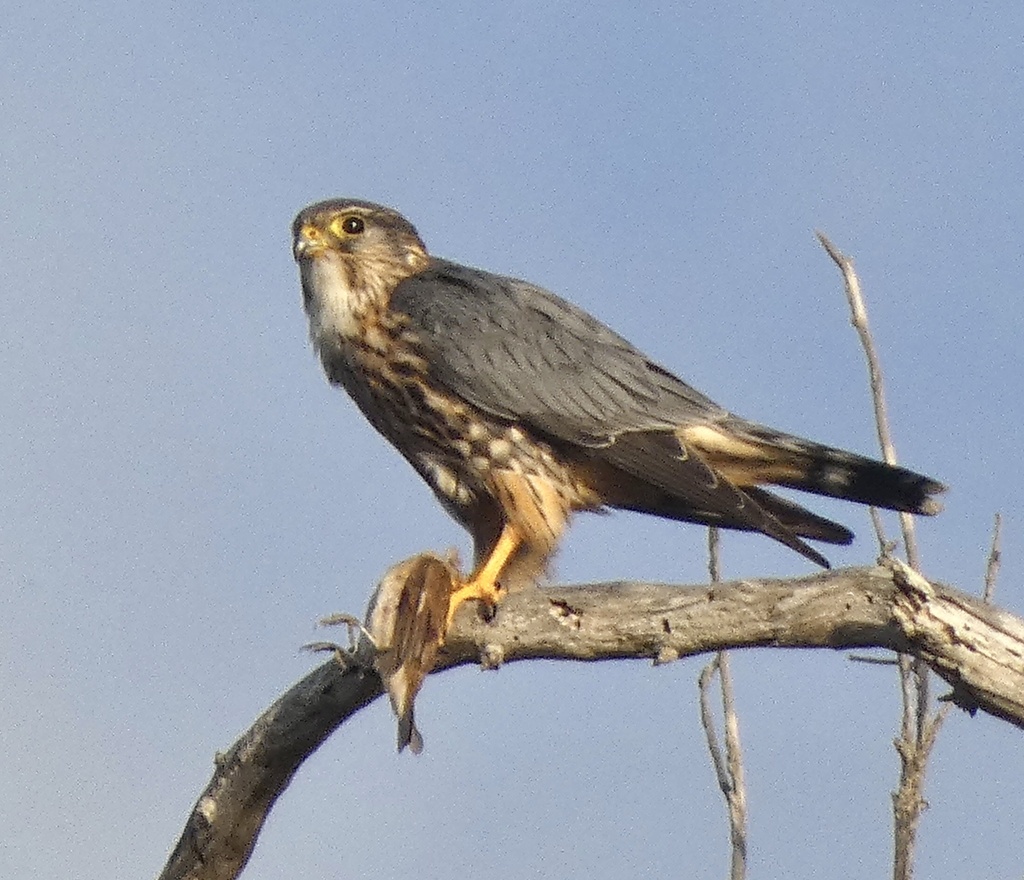
- MerlinFalco columbarius
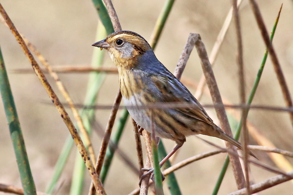
- Nelson's Sharp-tailed SparrowAmmodramus nelsoni
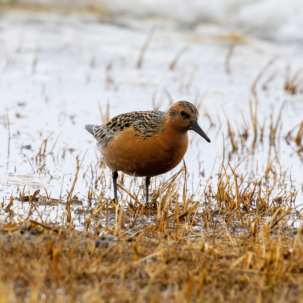
- Red KnotCalidris canutus
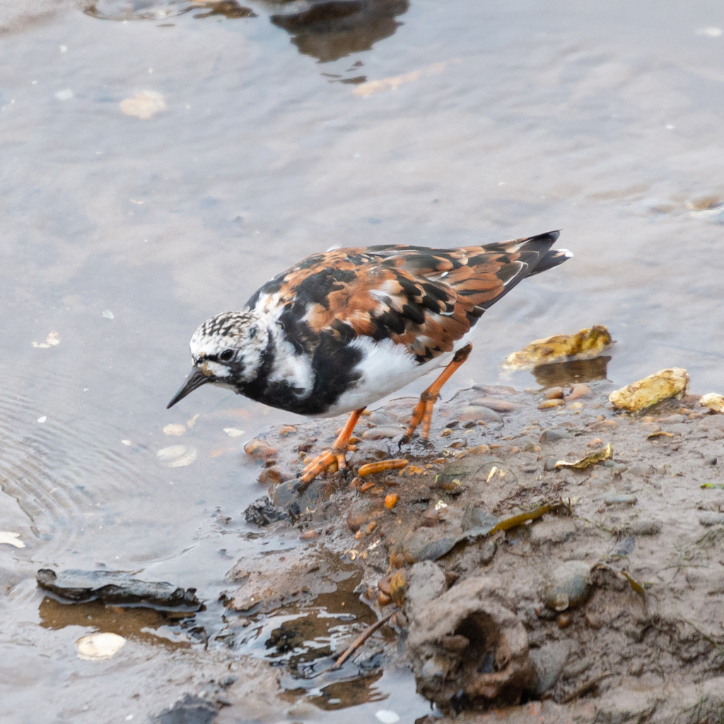
- Ruddy TurnstoneArenaria interpres
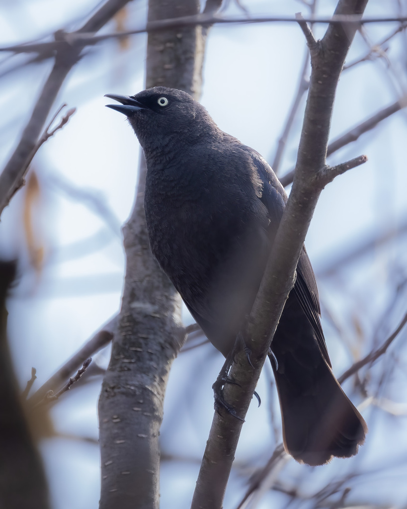
- Rusty BlackbirdEuphagus carolinus
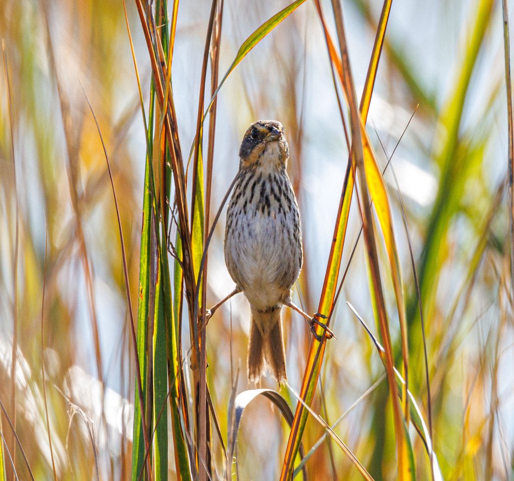
- Saltmarsh Sharp-tailed SparrowAmmodramus caudacutus


NatureServe Explorer, CC BY 4.0. USGS Gap Analysis Project habitat models.
Sources
- USGS Gap Analysis Project habitat models (2001)
- USGS GAP winter habitat model for Black Skimmer Brackish or salt water only
- USGS Gap Analysis Project range maps (2001), modeled by watershed; migratory gives no dates
- NatureServe Explorer (CC BY 4.0), habitat names
- US Census TIGER/Line counties
- Names follow the USGS Gap Analysis Project (2001)