

Bird
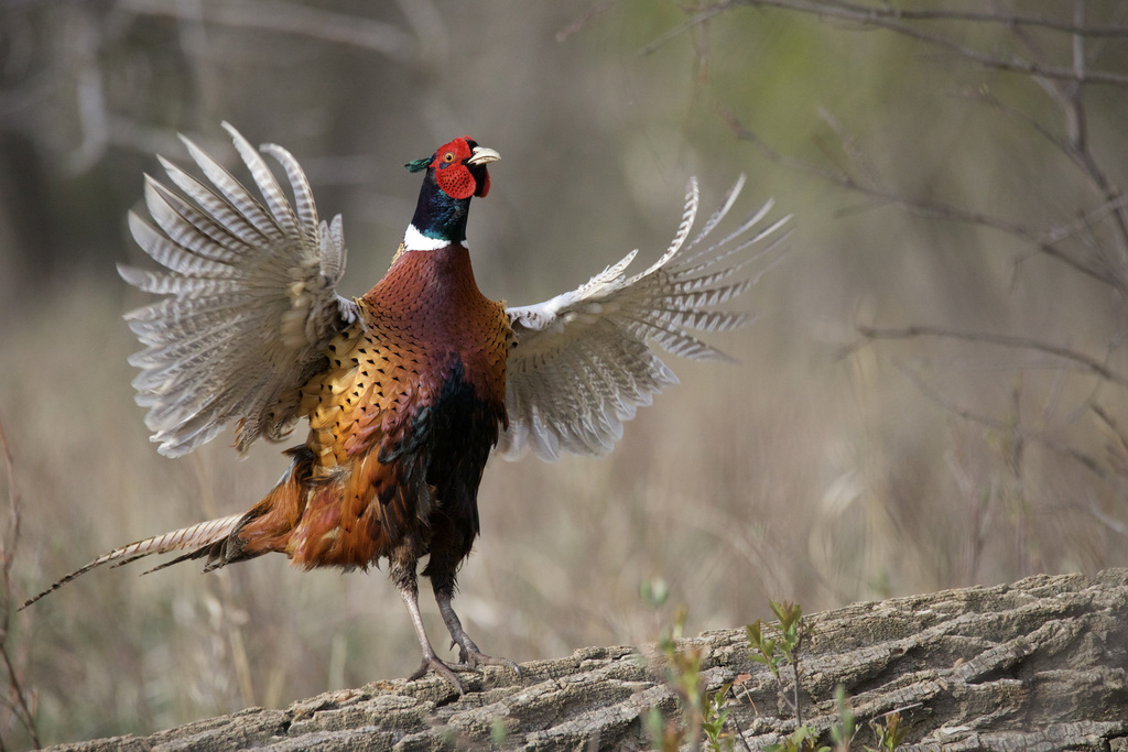
Ring-necked Pheasant
Phasianus colchicus
Lives in Arkansas all year and nests here. Found in 1 of 75 counties, across 4 habitats.
- Here
- All year
- Nesting
- Nests here
- Range
- 1 of 75 counties
- Habitats
- 4
At a glance
- Group
- Birds
- Here
- All year
- Nesting
- Nests here
- Range
- 1 of 75 counties
- Habitats
- 4
- Habitat models
- Year-round
Where it lives
The places its habitat model includes. It is not found everywhere a habitat occurs.
Habitats in Arkansas 4
Each habitat page lists the plants and wildlife also found there.
Open, grass-dominated places kept open by fire, grazing or thin soil, from tallgrass prairie to Piedmont prairies.
Roadsides, fields and disturbed ground
Ground opened by people: roadsides, old fields, pastures, fencerows and lots.
Disturbed and introduced wetlands
Wet ground taken over by weedy or introduced plants after disturbance, such as common reed, Chinese tallow or tamarisk stands; the upland counterpart is roadsides, fields and disturbed ground.
Borders of forests, clearings and shrubby thickets.
Other habitats in its models (31)
Land cover, or classes with no habitat page in Arkansas. Those recorded in Arkansas first, the rest by region.
Elsewhere in the South (13)
- Atlantic and Gulf Coastal Plain Interdunal Wetland Year-round, beside its main habitat.
- Atlantic Coastal Plain Central Fresh-Oligohaline Tidal Marsh Year-round, beside its main habitat.
- Atlantic Coastal Plain Central Salt and Brackish Tidal Marsh Year-round, beside its main habitat.
- Atlantic Coastal Plain Embayed Region Tidal Freshwater Marsh Year-round, beside its main habitat.
- Atlantic Coastal Plain Embayed Region Tidal Salt and Brackish Marsh Year-round, beside its main habitat.
- Atlantic Coastal Plain Large Natural Lakeshore Year-round, beside its main habitat.
- Atlantic Coastal Plain Southern Dune and Maritime Grassland Year-round.
- Central and Upper Texas Coast Dune and Coastal Grassland Year-round.
- East Gulf Coastal Plain Savanna and Wet Prairie Year-round, beside its main habitat.
- Southern Blackland Tallgrass Prairie Year-round.
- Texas Saline Coastal Prairie Year-round.
- Texas-Louisiana Coastal Prairie Year-round.
- West Gulf Coastal Plain Catahoula Barrens Year-round.
Northeast (1)
- Atlantic Coastal Plain Northern Tidal Salt Marsh Year-round, beside its main habitat.
Midwest (4)
- Central Mixedgrass Prairie Year-round.
- Central Tallgrass Prairie Year-round.
- North-Central Interior Sand and Gravel Tallgrass Prairie Year-round.
- Western Great Plains Wooded Draw and Ravine Year-round, beside its main habitat.
Land cover and other classes (13)
- Atlantic Coastal Plain Depression Pondshore Year-round, beside its main habitat.
- Central Interior and Appalachian Shrub-Herbaceous Wetland Systems Year-round, beside its main habitat.
- East Gulf Coastal Plain Southern Depression Pondshore Year-round, beside its main habitat.
- Eastern Great Plains Wet Meadow, Prairie, and Marsh Year-round, beside its main habitat.
- Gulf and Atlantic Coastal Plain Tidal Marsh Systems Year-round, beside its main habitat.
- Harvested Forest - Grass/Forb Regeneration Year-round, beside its main habitat.
- Introduced Upland Vegetation - Annual Grassland Year-round.
- Introduced Upland Vegetation - Forbland Year-round.
- Introduced Upland Vegetation - Perennial Grassland Year-round.
- Modified/Managed Southern Tall Grassland Year-round.
- South-Central Interior Large Floodplain - Herbaceous Modifier Year-round, beside its main habitat.
- Texas-Louisiana Coastal Prairie Slough Year-round, beside its main habitat.
- Western Great Plains Depressional Wetland Systems Year-round, beside its main habitat.
Seasons in Arkansas
- Year-round: nests here, in 1 of 75 counties.
Also found in this habitat
Plants 225
Plants named in NatureServe descriptions of these habitats that grow in Arkansas. Shared habitat, not food.
- Downy IndigobushAmorpha canescens
- Elliotts BluestemAndropogon elliottii
- BroomsedgeAndropogon virginicus
- Carolina AnemoneAnemone caroliniana
- Churchmouse Three-awnAristida dichotoma
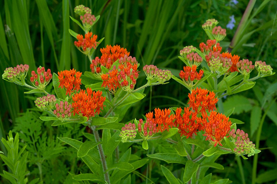
- Butterfly MilkweedAsclepias tuberosa
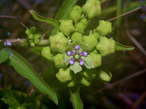
- Green AntelopehornAsclepias viridis
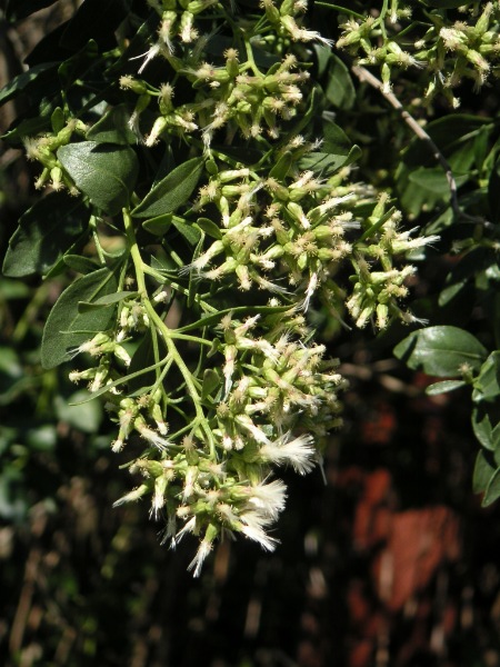
- Groundsel-treeBaccharis halimifolia
- Cream Wild IndigoBaptisia bracteata
- Nuttall's Wild IndigoBaptisia nuttalliana
- SupplejackBerchemia scandens
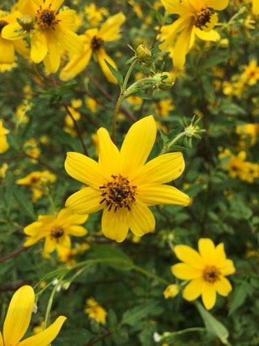
- Bearded BeggarticksBidens aristosa
- Bouteloua hirsutaBouteloua hirsuta
- American BlueheartsBuchnera americana
- Fringed Poppy-mallowCallirhoe digitata
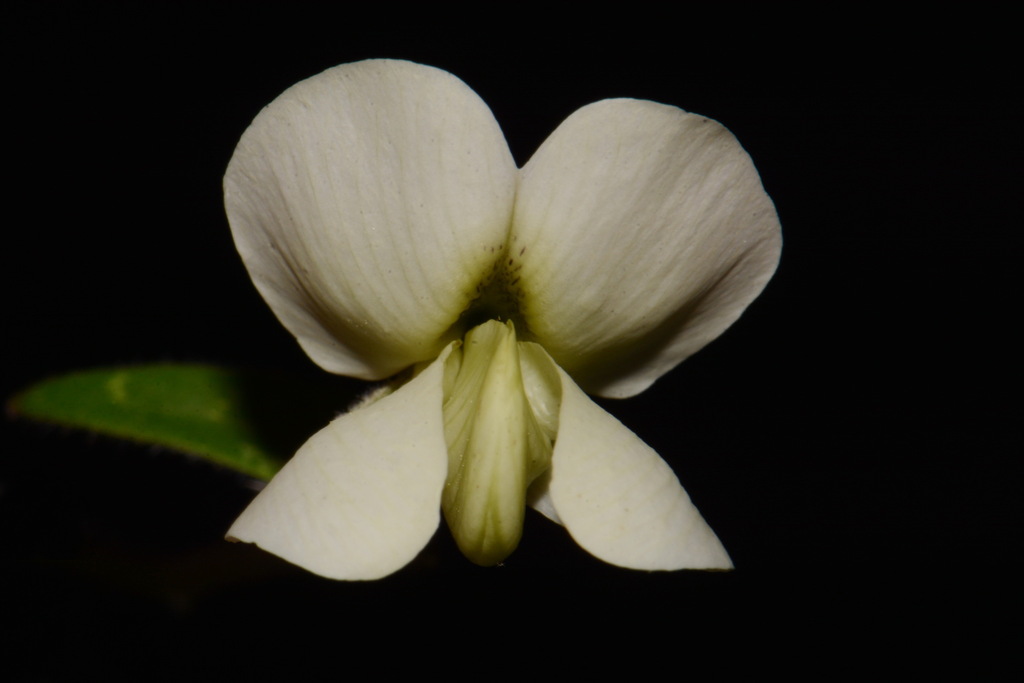
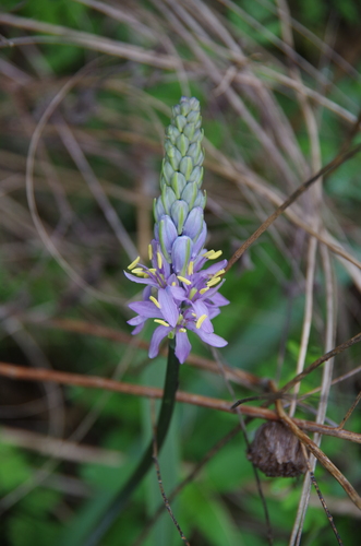
- Wild HyacinthCamassia scilloides
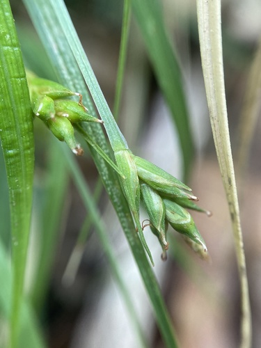
- Bicknell's SedgeCarex bicknellii
- Willdenow's SedgeCarex willdenowii
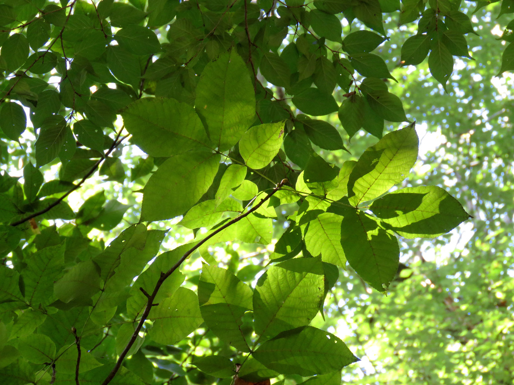
- Pignut HickoryCarya glabra
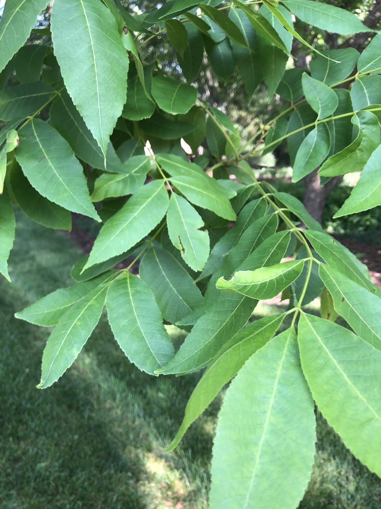
- PecanCarya illinoinensis
- Shagbark HickoryCarya ovata
- SugarberryCeltis laevigata
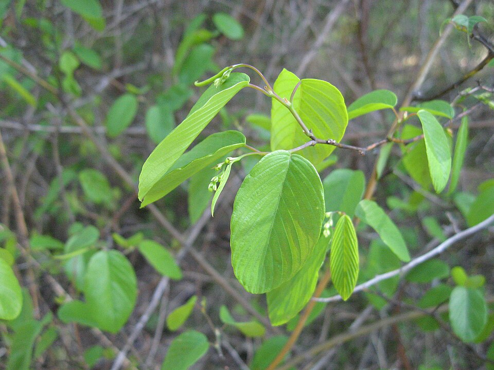
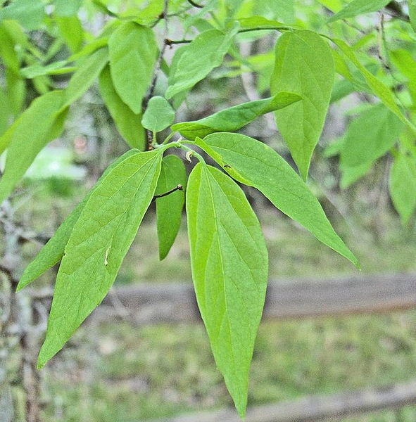
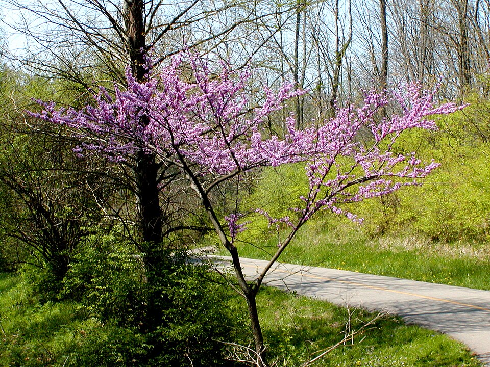
- Eastern RedbudCercis canadensis
- Longleaf SpikegrassChasmanthium sessiliflorum
Wildlife 218
Other animals whose habitat models include the same habitats in Arkansas. Not sighting records.
- American GoldfinchCarduelis tristis
- American RobinTurdus migratorius
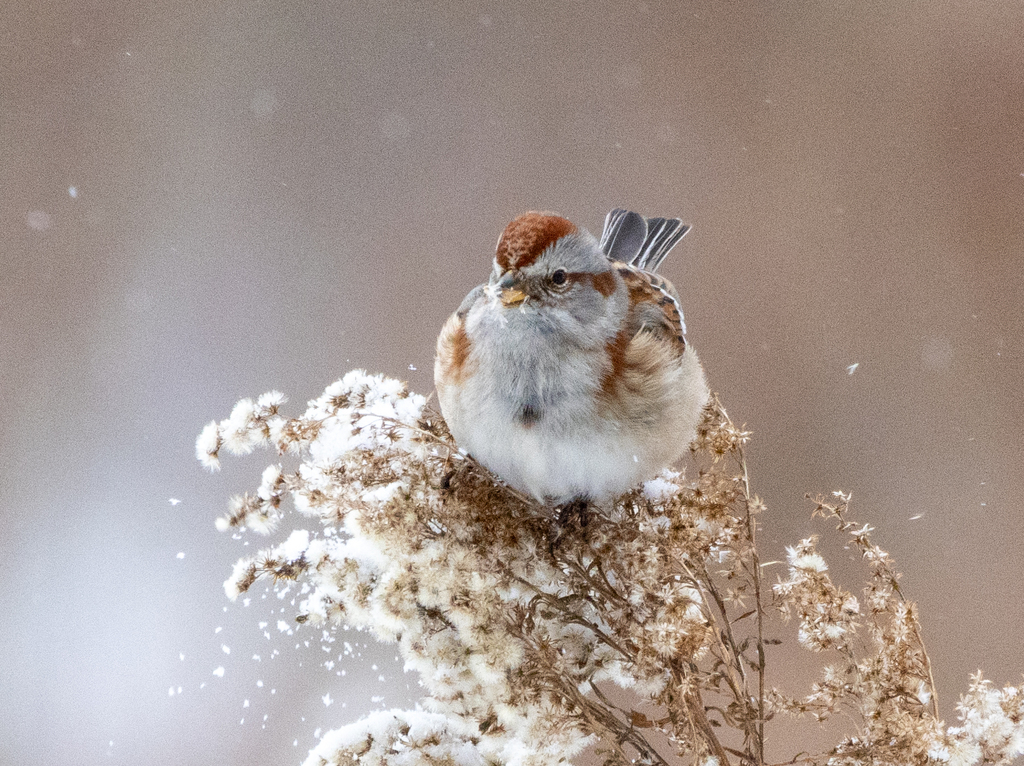
- American Tree SparrowSpizella arborea
- Bank SwallowRiparia riparia
- Black-crowned Night-heronNycticorax nycticorax
- Chimney SwiftChaetura pelagica
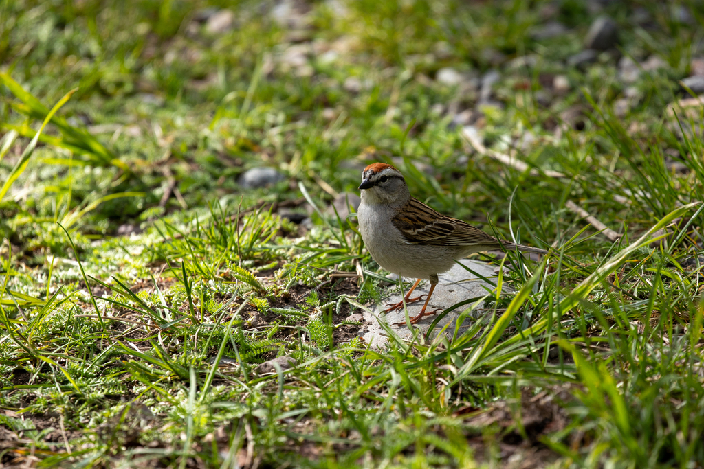
- Chipping SparrowSpizella passerina
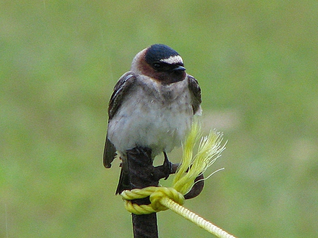
- Cliff SwallowPetrochelidon pyrrhonota
- Common NighthawkChordeiles minor
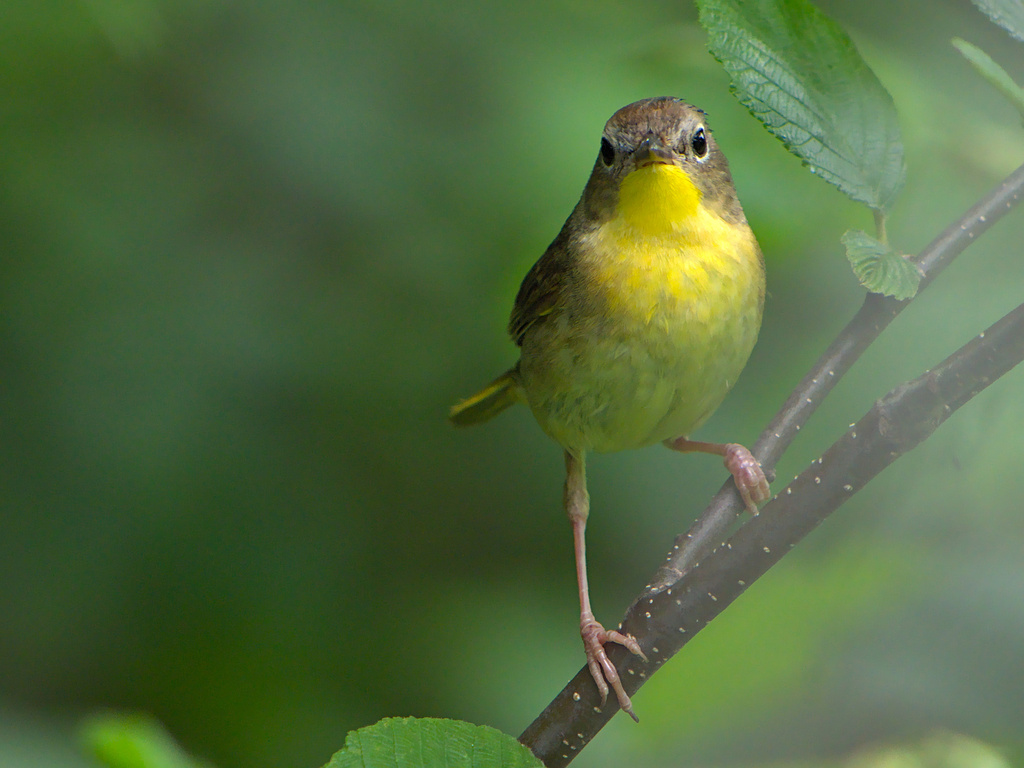
- Common YellowthroatGeothlypis trichas
- Cooper's HawkAccipiter cooperii
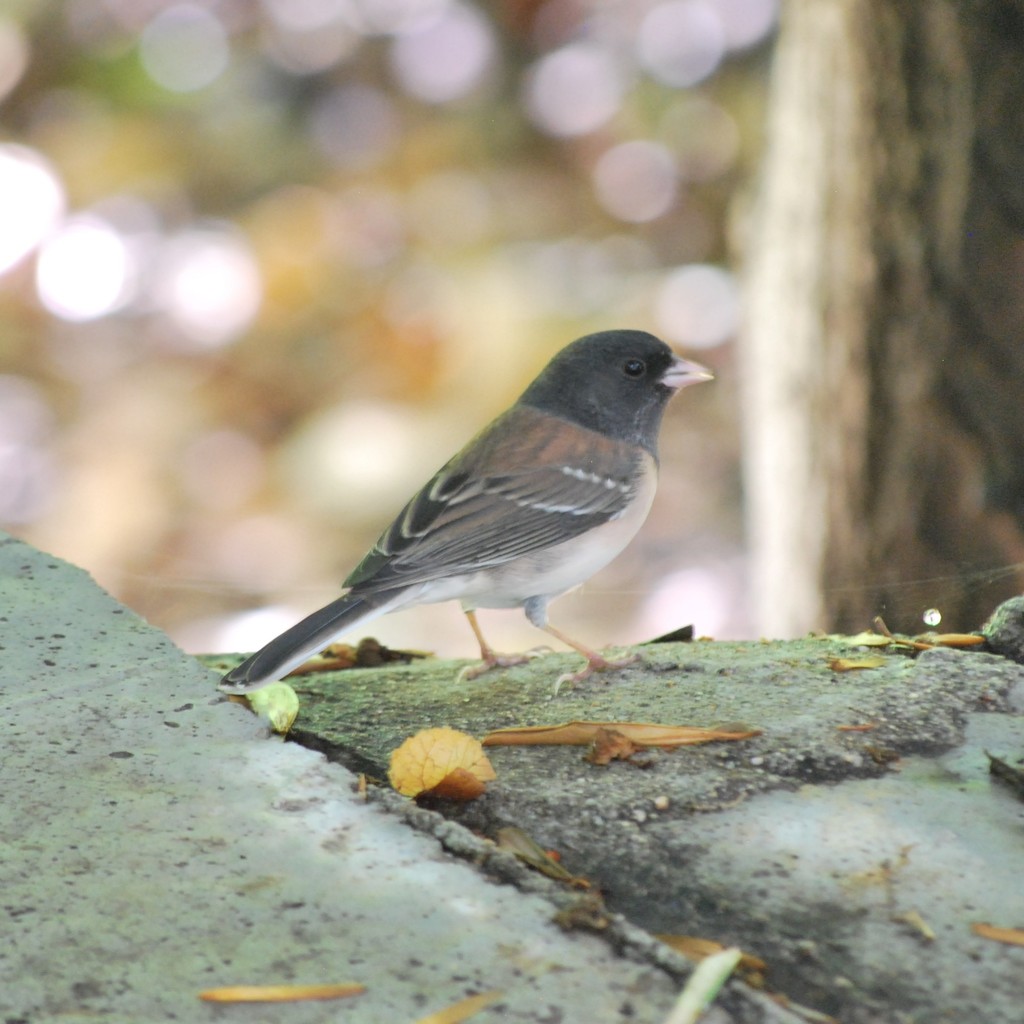
- Dark-eyed JuncoJunco hyemalis
- Eastern KingbirdTyrannus tyrannus
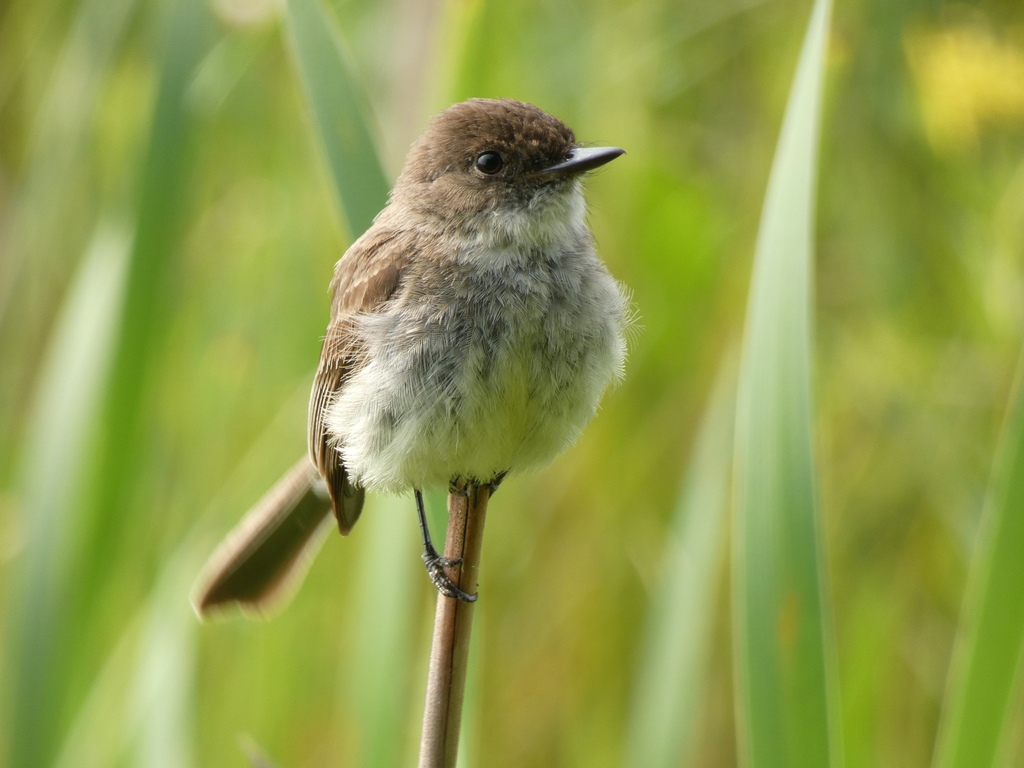
- Eastern PhoebeSayornis phoebe
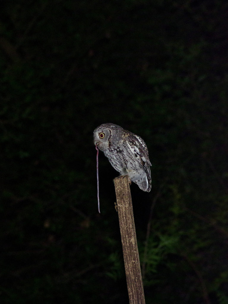
- Eastern Screech-owlMegascops asio
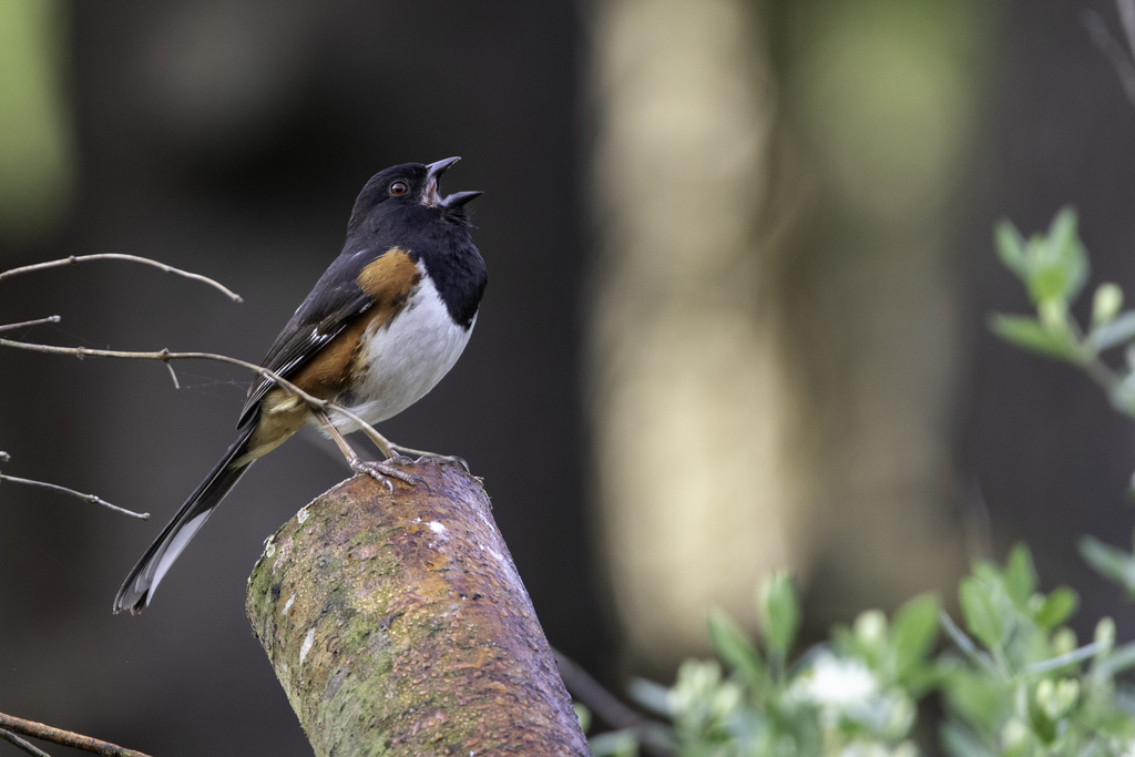
- Eastern TowheePipilo erythrophthalmus
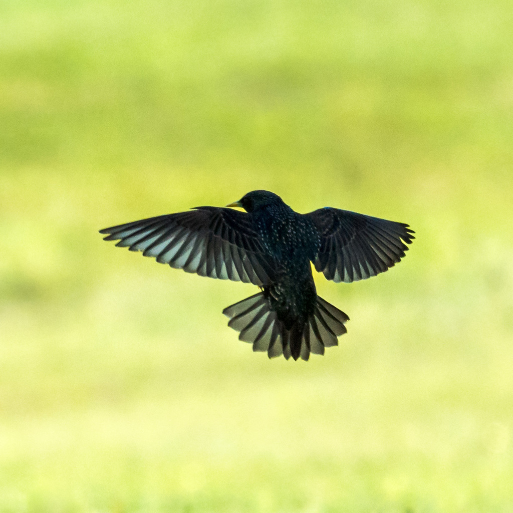
- European StarlingSturnus vulgaris
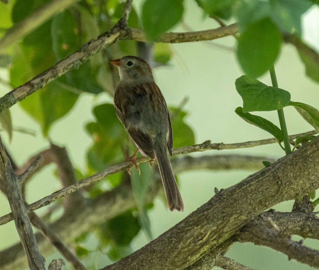
- Field SparrowSpizella pusilla
- Great Horned OwlBubo virginianus
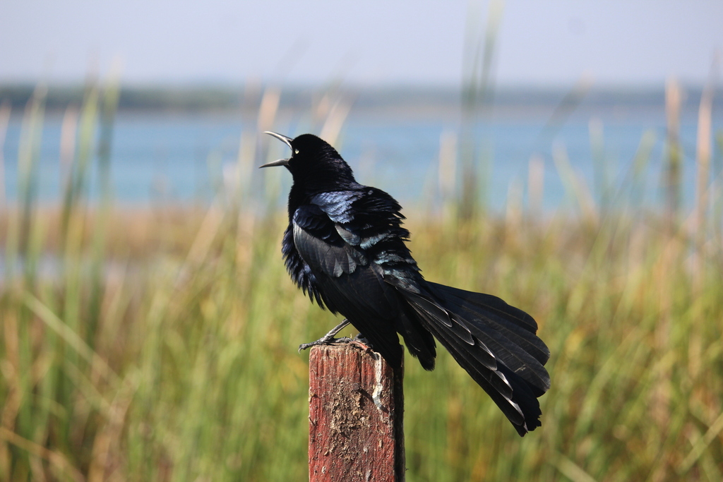
- Great-tailed GrackleQuiscalus mexicanus
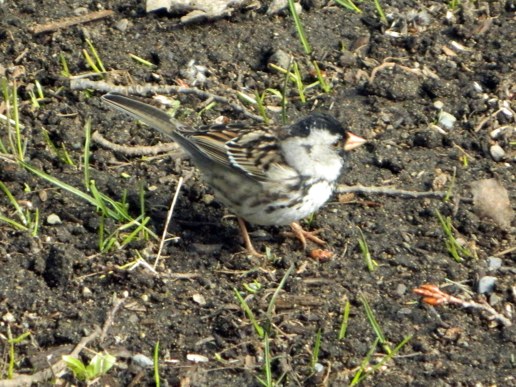
- Harris's SparrowZonotrichia querula
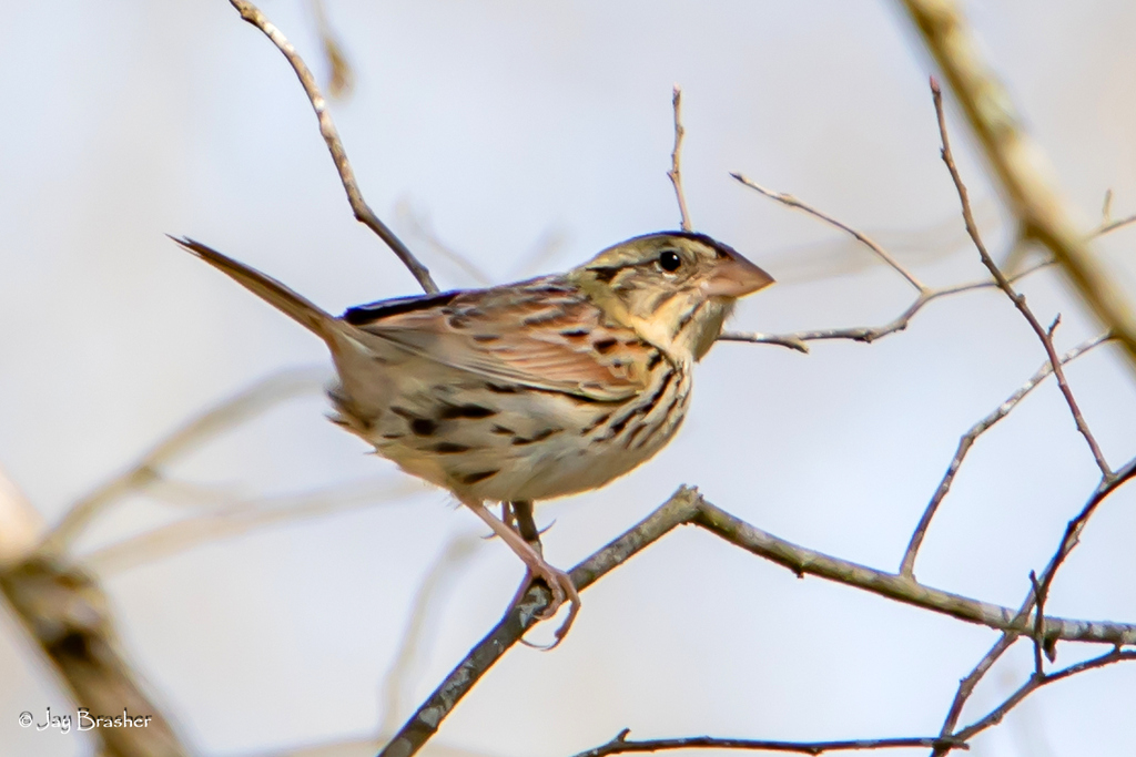
- Henslow's SparrowAmmodramus henslowii
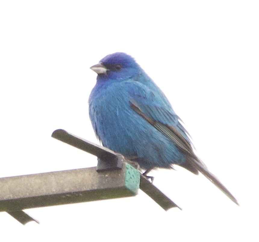
- Indigo BuntingPasserina cyanea
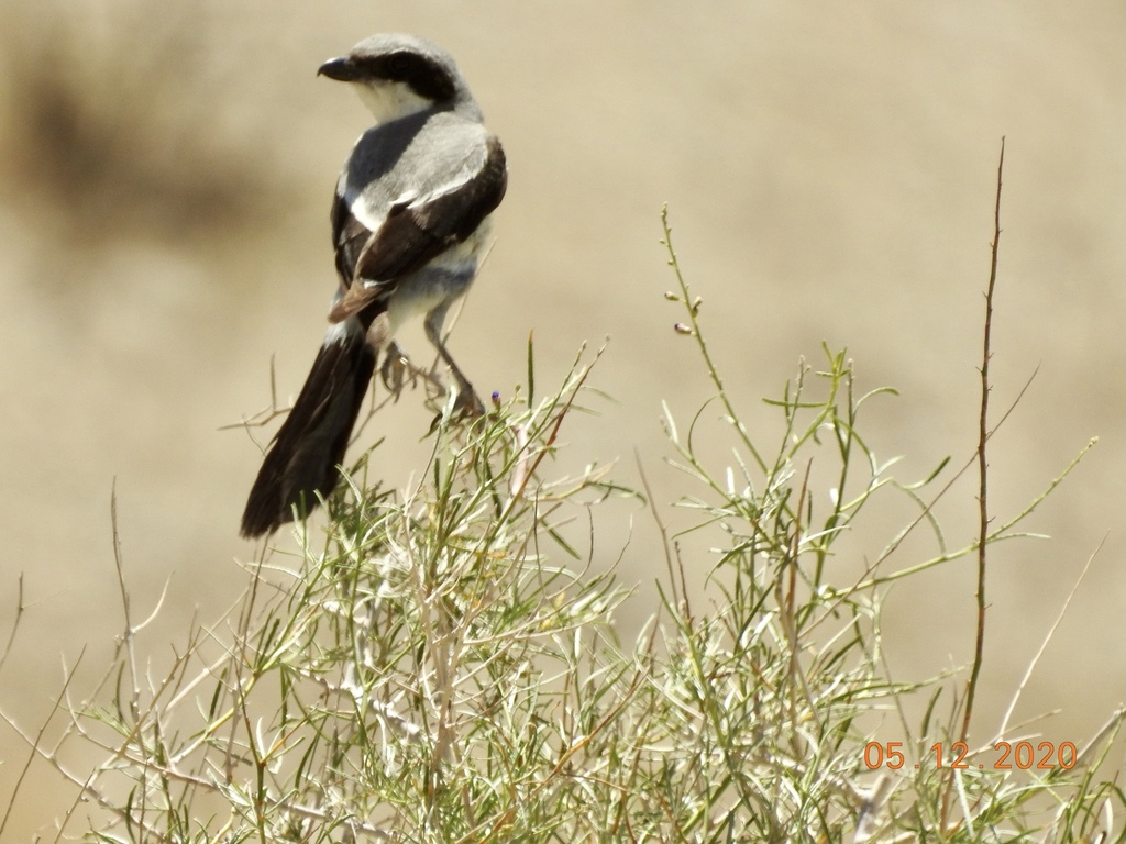
- Loggerhead ShrikeLanius ludovicianus









NatureServe Explorer, CC BY 4.0. USGS Gap Analysis Project habitat models.
Sources
- USGS Gap Analysis Project habitat models (2001)
- USGS GAP year-round habitat model for Ring-necked Pheasant Elevation up to 3,353 m
- USGS Gap Analysis Project range maps (2001), modeled by watershed; migratory gives no dates
- NatureServe Explorer (CC BY 4.0), habitat names
- US Census TIGER/Line counties
- Names follow the USGS Gap Analysis Project (2001)