

Bird
Cape May Warbler
Dendroica tigrina
Passes through Arkansas on migration. Found in 5 of 75 counties, across 2 habitats.
- Here
- On migration
- Nesting
- Not known to nest here
- Range
- 5 of 75 counties
- Habitats
- 2
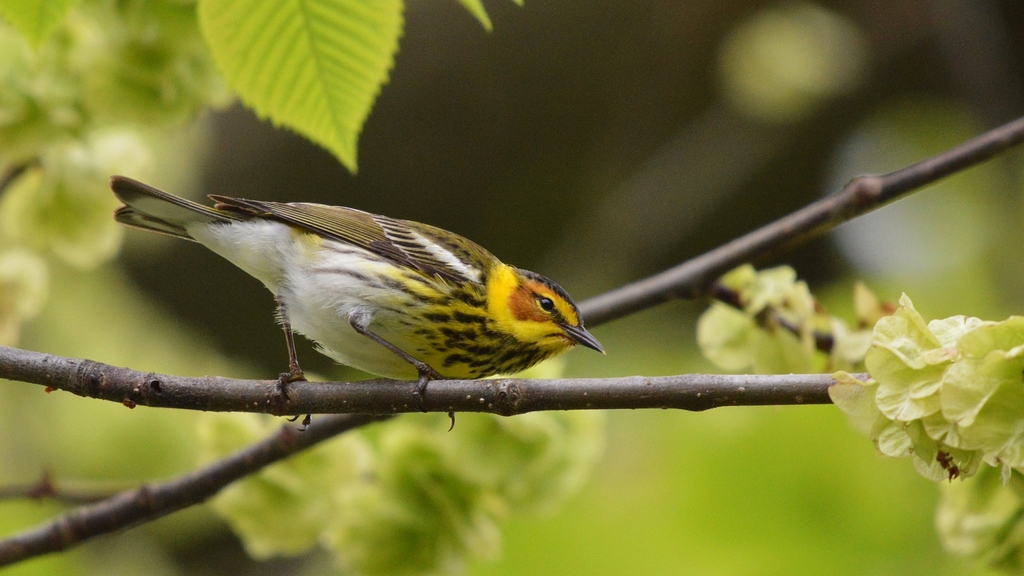
At a glance
- Group
- Birds
- Here
- On migration
- Nesting
- Not known to nest here
- Range
- 5 of 75 counties
- Habitats
- 2
- Habitat models
- Winter
Where it lives
The places its habitat model includes. It is not found everywhere a habitat occurs.
Habitats in Arkansas 2
Each habitat page lists the plants and wildlife also found there.
Forests and open woodlands on dry ridges and slopes, often oak or pine.
Roadsides, fields and disturbed ground
Ground opened by people: roadsides, old fields, pastures, fencerows and lots.
Other habitats in its models (15)
Land cover, or classes with no habitat page in Arkansas.
- Developed, Low Intensity Winter.
- Developed, Medium Intensity Winter.
- Laurentian-Acadian Northern Hardwoods Forest Winter.
- South Florida Hardwood Hammock Winter.
- Southwest Florida Coastal Strand and Maritime Hammock Winter.
- South Florida Pine Rockland Winter.
- Boreal Aspen-Birch Forest Winter.
- Laurentian-Acadian Northern Pine-(Oak) Forest Winter.
- Boreal White Spruce-Fir-Hardwood Forest Winter.
- Laurentian-Acadian Pine-Hemlock-Hardwood Forest Winter.
- Acadian Low-Elevation Spruce-Fir-Hardwood Forest Winter.
- Florida Dry Prairie Winter.
- Southwest Florida Dune and Coastal Grassland Winter.
- Modified/Managed Southern Tall Grassland Winter.
- South Florida Pine Flatwoods Winter.
Seasons in Arkansas
- Migratory: does not nest here, in 5 of 75 counties.
Also found in this habitat
Plants 33
Plants named in NatureServe descriptions of these habitats that grow in Arkansas. Shared habitat, not food.
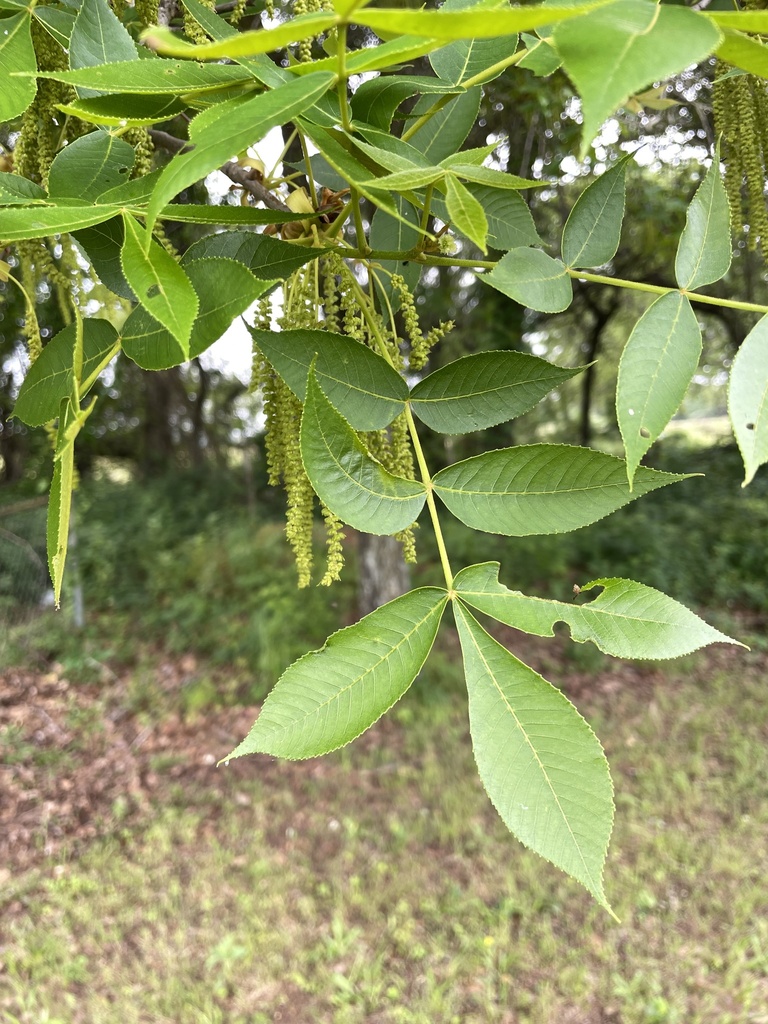
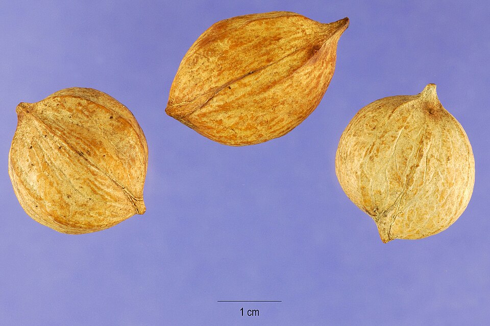
- Black HickoryCarya texana
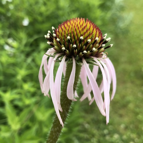
- Pale Purple ConeflowerEchinacea pallida
- Juniperus virginiana var. virginianaJuniperus virginiana var. virginiana
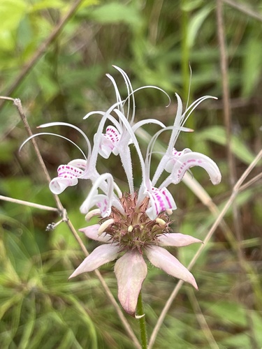
- White Bee BalmMonarda russeliana
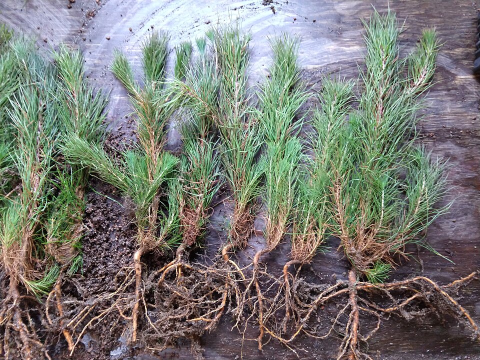
- Shortleaf PinePinus echinata
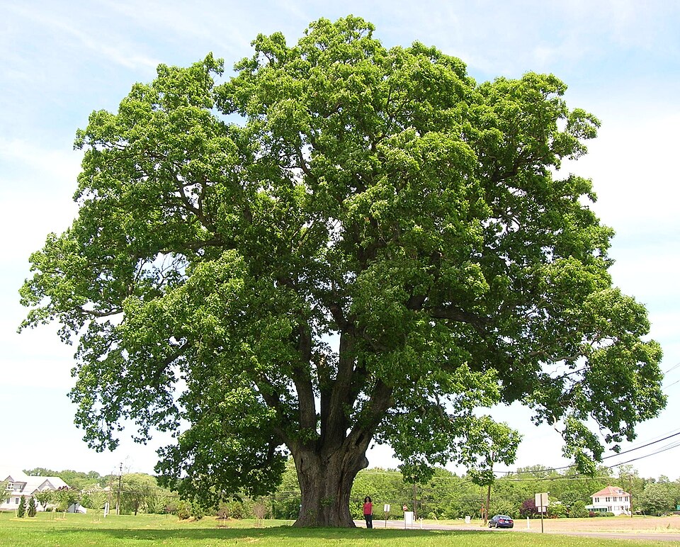
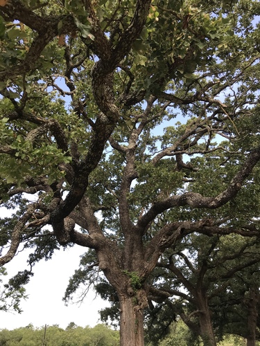
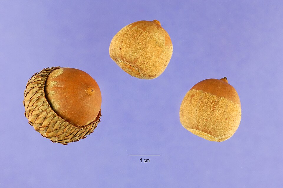
- White OakQuercus alba
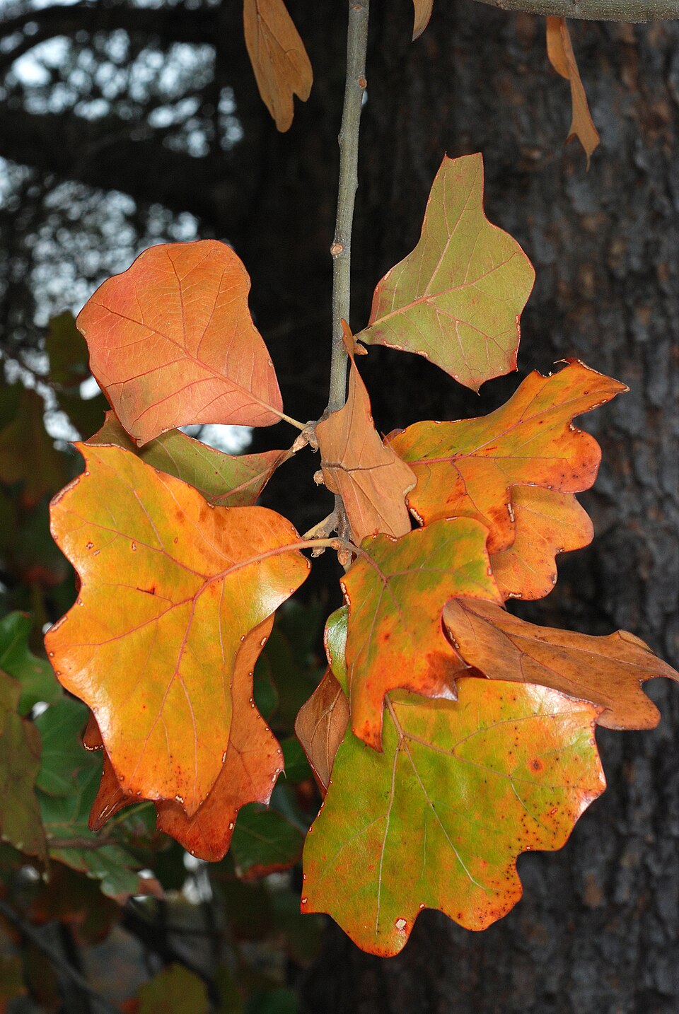
- Blackjack OakQuercus marilandica
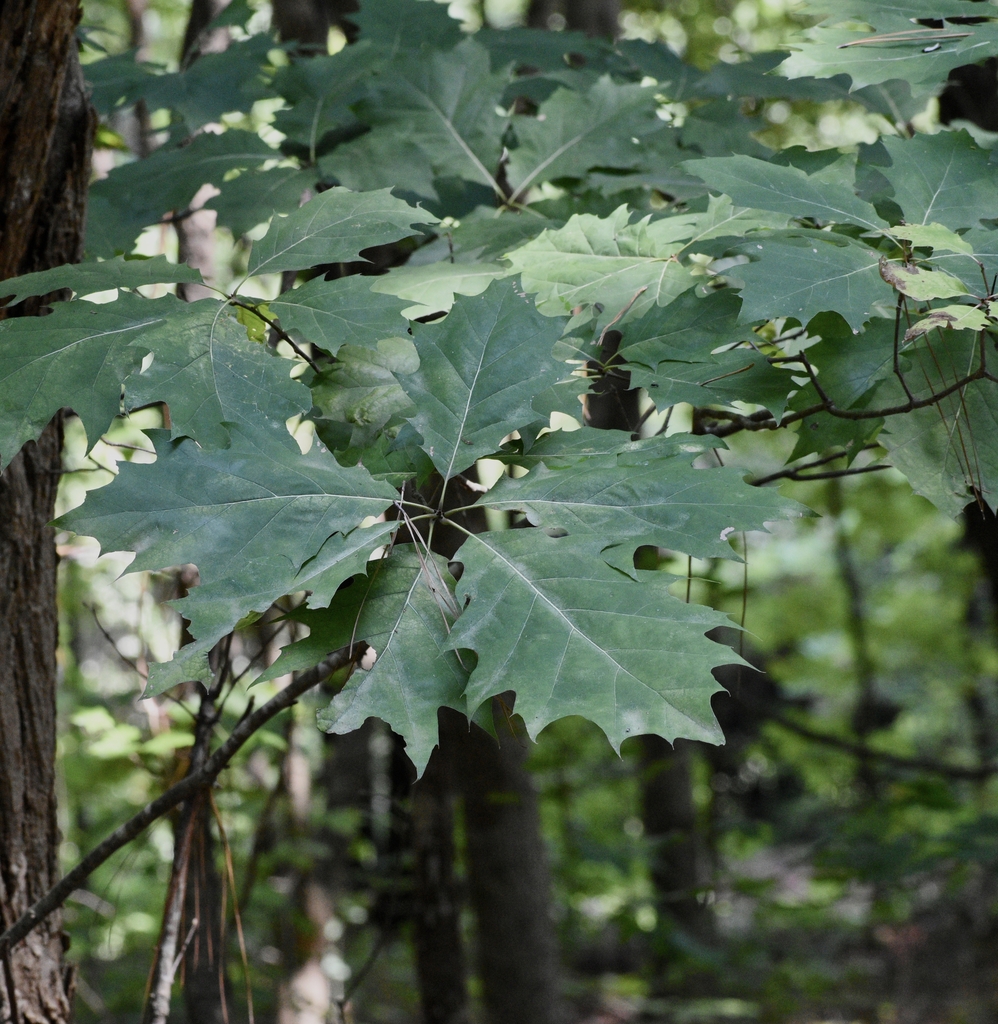
- Northern Red OakQuercus rubra
- Post OakQuercus stellata
- Black OakQuercus velutina
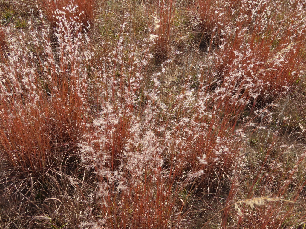
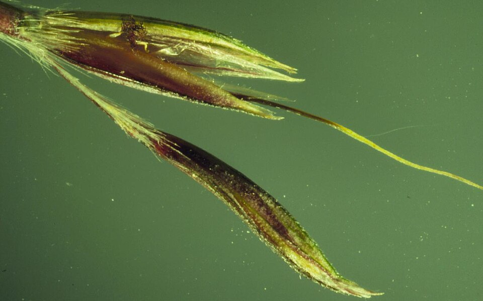
- Little BluestemSchizachyrium scoparium
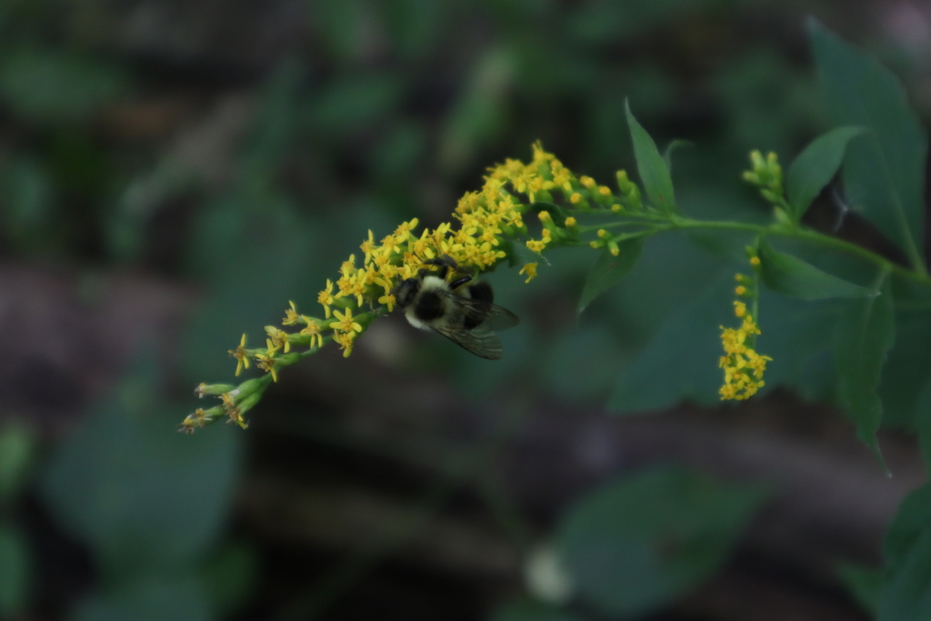
- Elmleaf GoldenrodSolidago ulmifolia
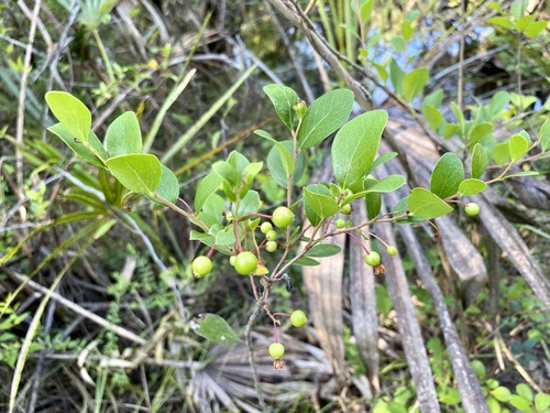
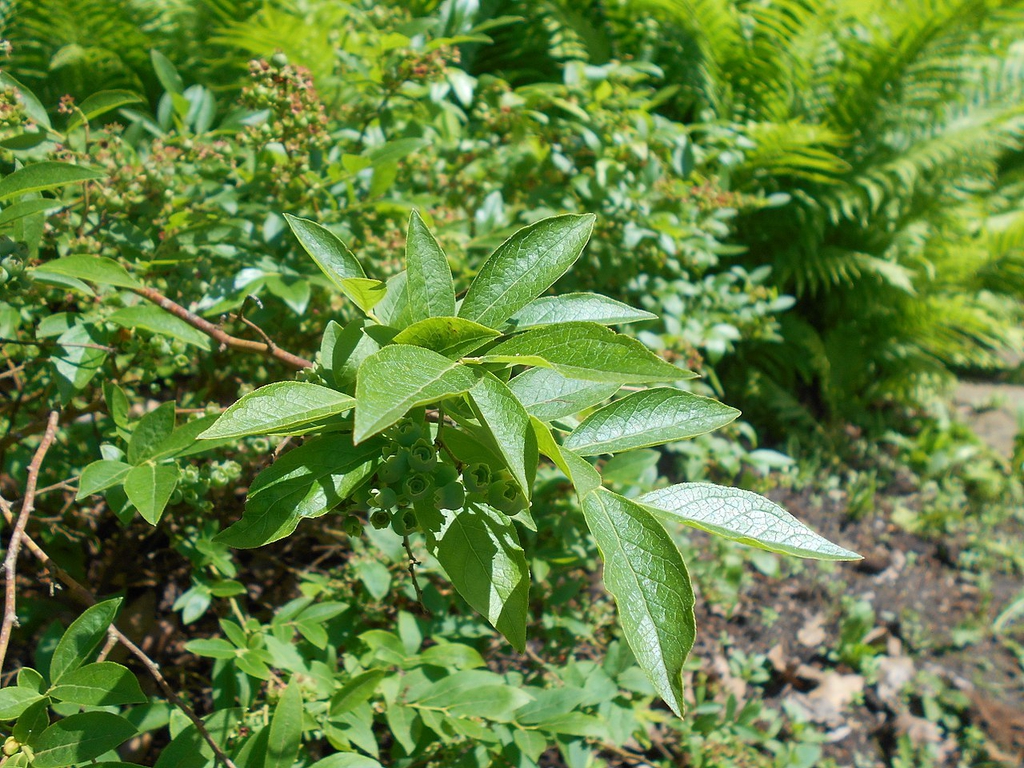
- SparkleberryVaccinium arboreum
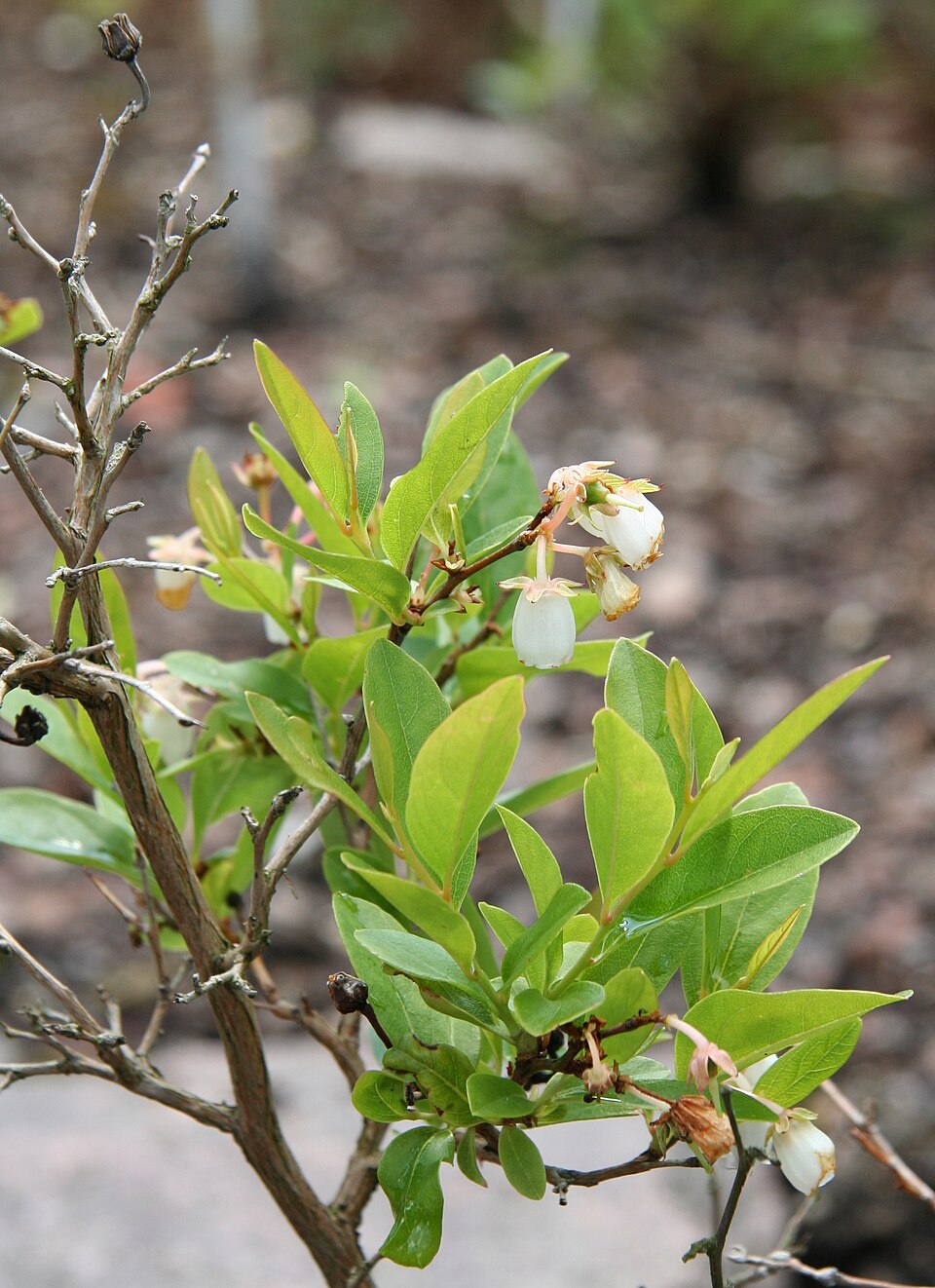
- Hillside BlueberryVaccinium pallidum
- DeerberryVaccinium stamineum
- Big BluestemAndropogon gerardi
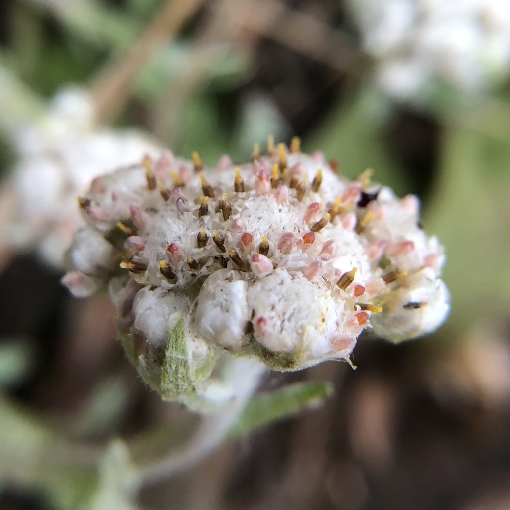
- Plantain-leaf PussytoesAntennaria plantaginifolia
- Mockernut HickoryCarya tomentosa
- Longleaf SpikegrassChasmanthium sessiliflorum
- Poverty OatgrassDanthonia spicata
- Forked Witchgrass; Cypress Panicgrass; Forked Witch Grass; Cypress Panic GrassDichanthelium dichotomum var. dichotomum
- Beaked HawkweedHieracium gronovii
- Ouachita BluetHoustonia ouachitana
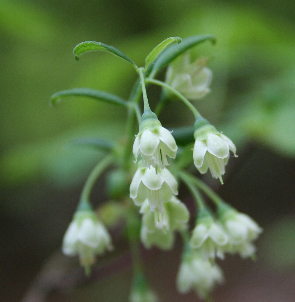
- StaggerbushLyonia mariana
Wildlife 180
Other animals whose habitat models include the same habitats in Arkansas. Not sighting records.
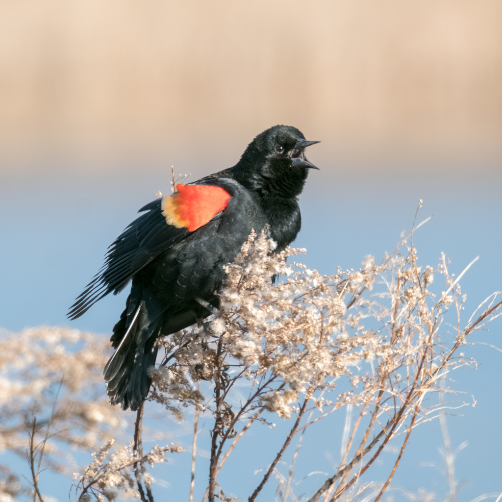
- Red-winged BlackbirdAgelaius phoeniceus
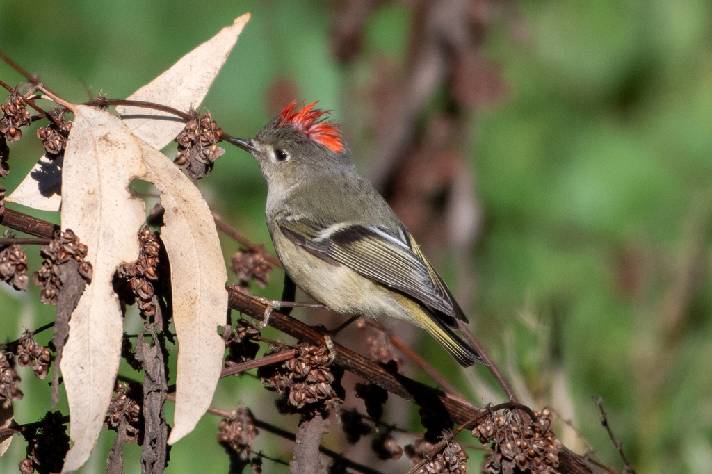
- Ruby-crowned KingletRegulus calendula
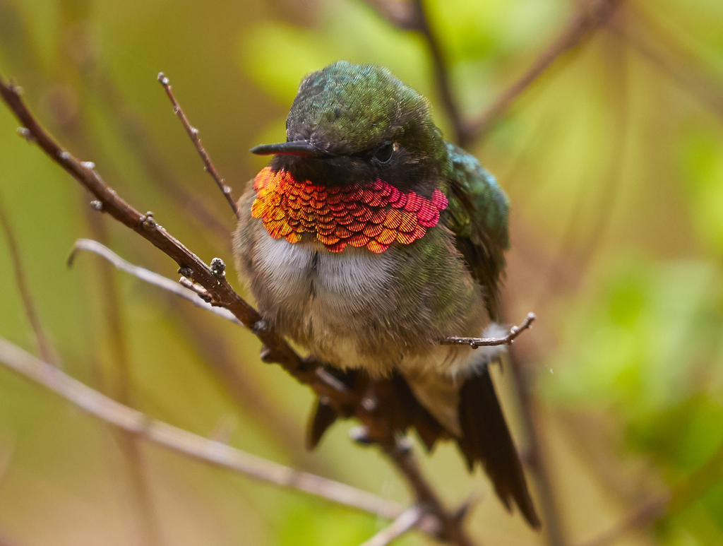
- Ruby-throated HummingbirdArchilochus colubris
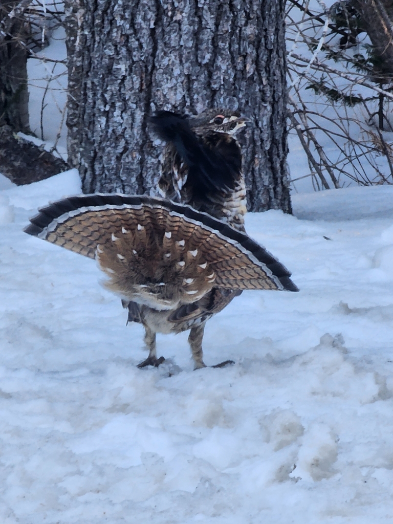
- Ruffed GrouseBonasa umbellus
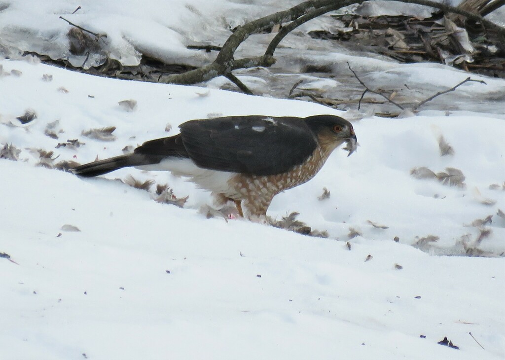
- Sharp-shinned HawkAccipiter striatus
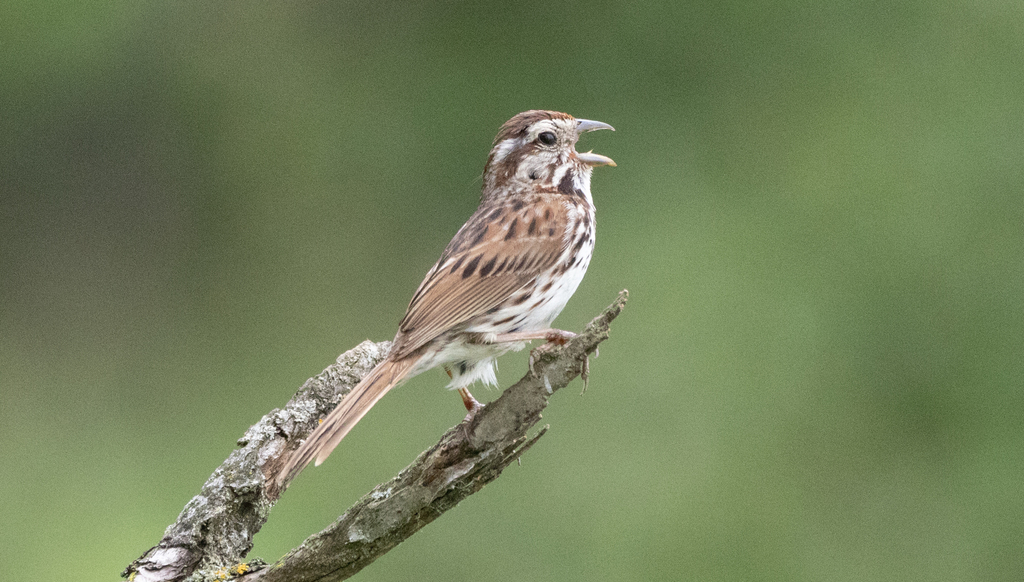
- Song SparrowMelospiza melodia
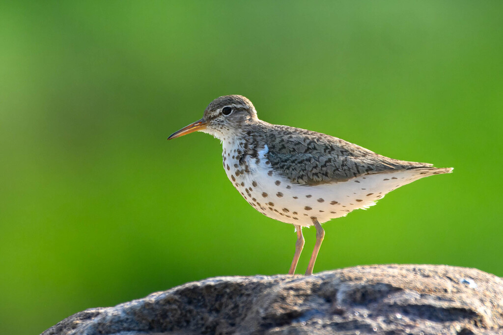
- Spotted SandpiperActitis macularius
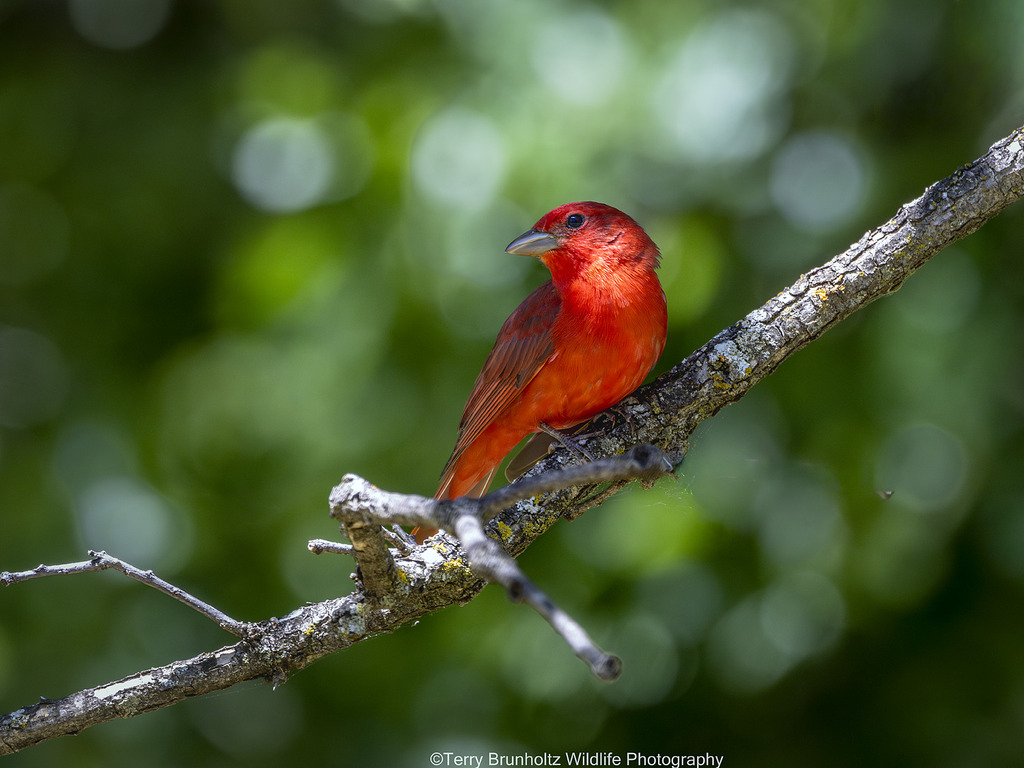
- Summer TanagerPiranga rubra
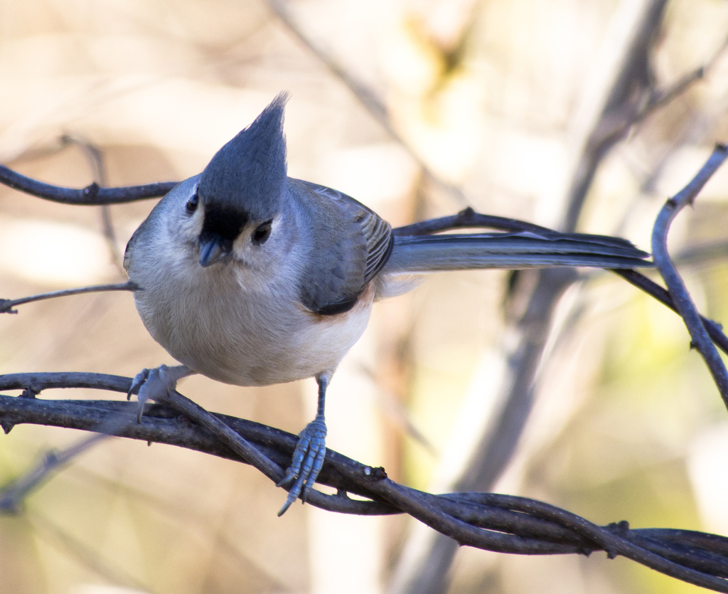
- Tufted TitmouseBaeolophus bicolor
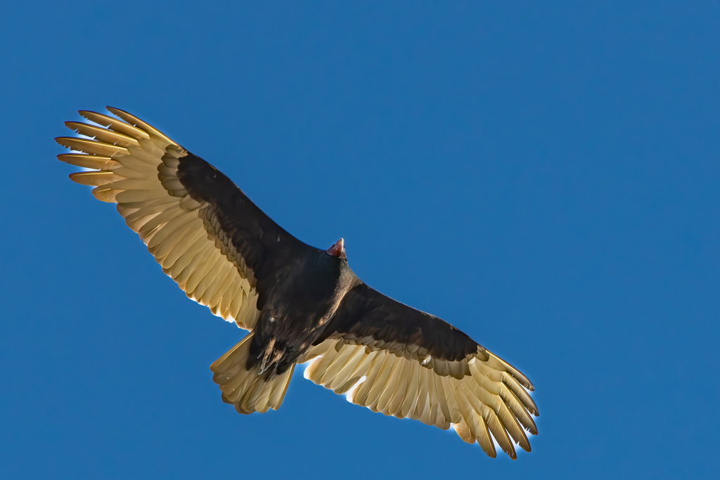
- Turkey VultureCathartes aura
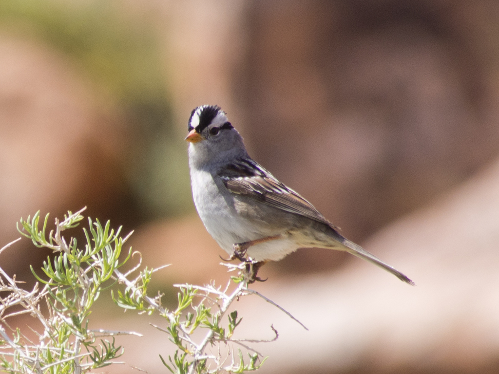
- White-crowned SparrowZonotrichia leucophrys
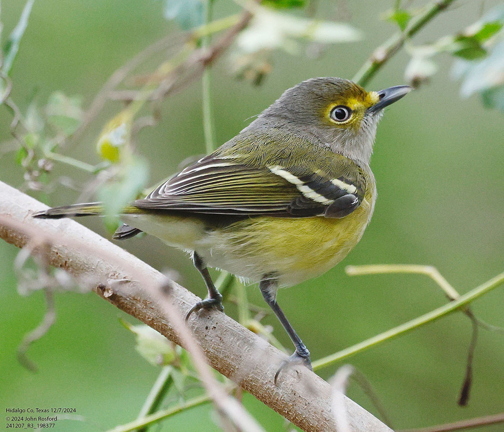
- White-eyed VireoVireo griseus
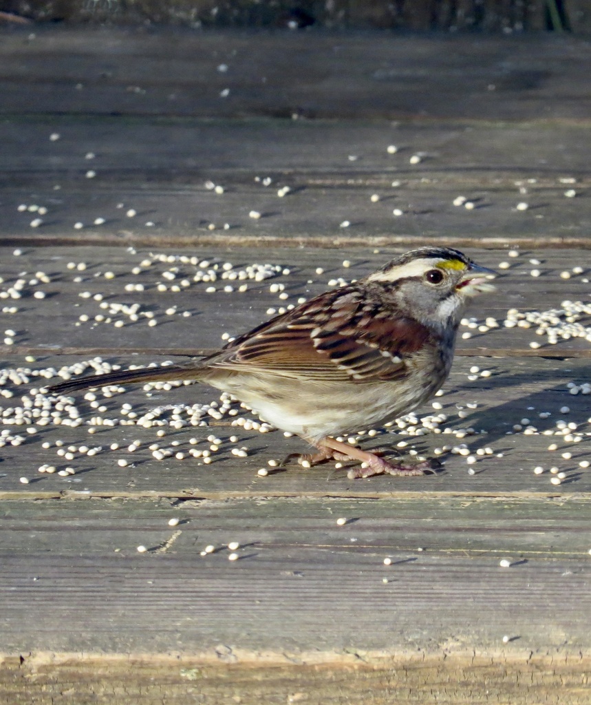
- White-throated SparrowZonotrichia albicollis
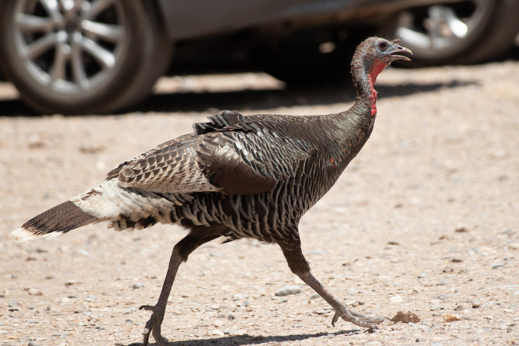
- Wild TurkeyMeleagris gallopavo
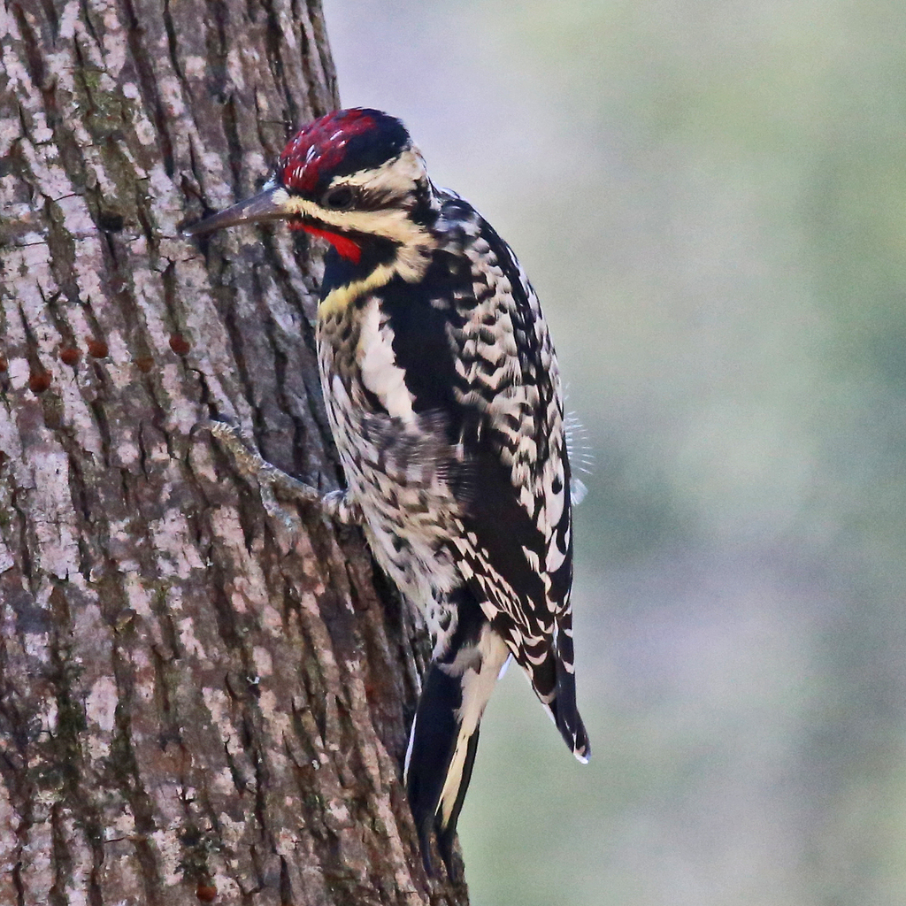
- Yellow-bellied SapsuckerSphyrapicus varius
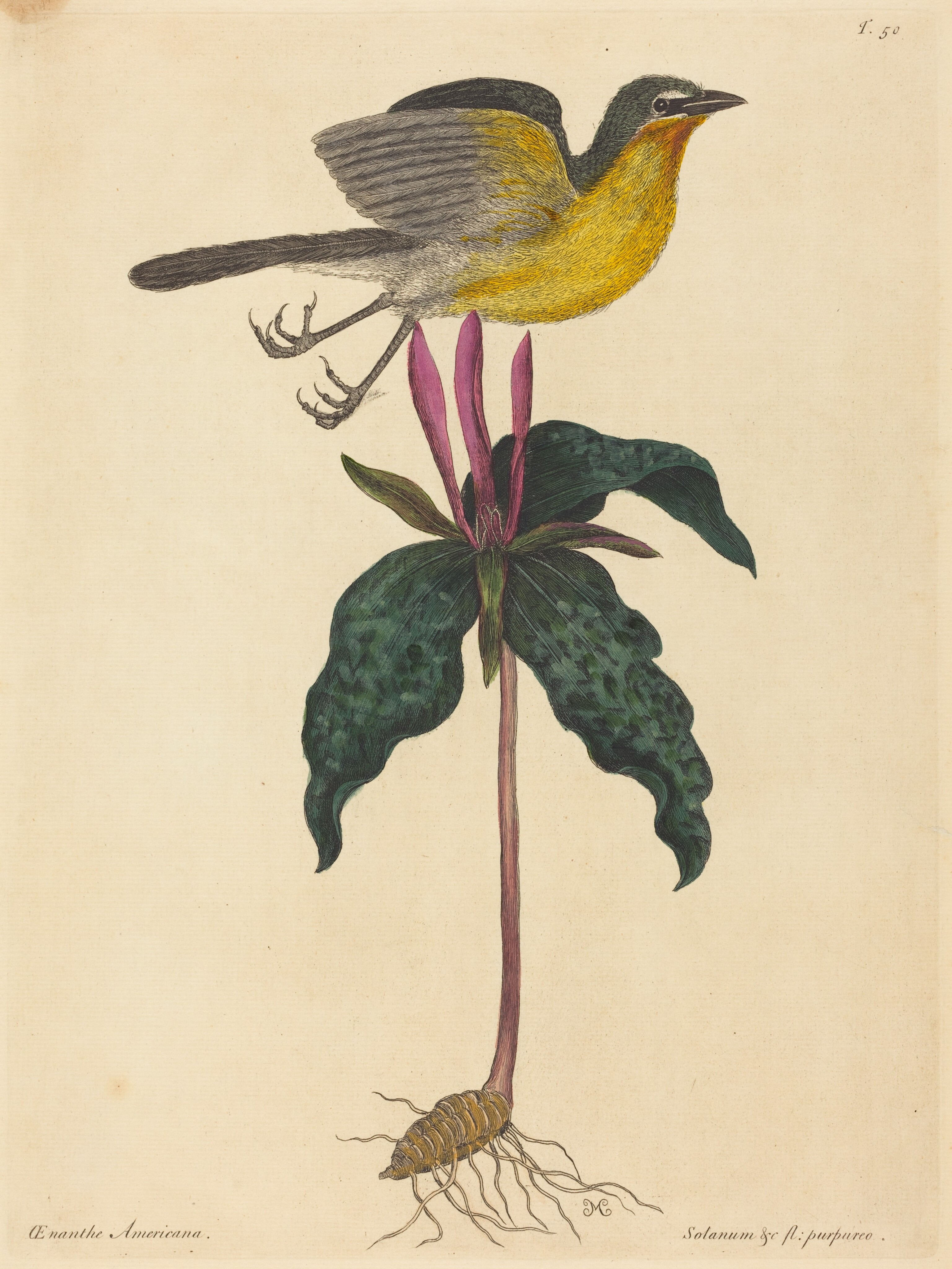
- Yellow-breasted ChatIcteria virens
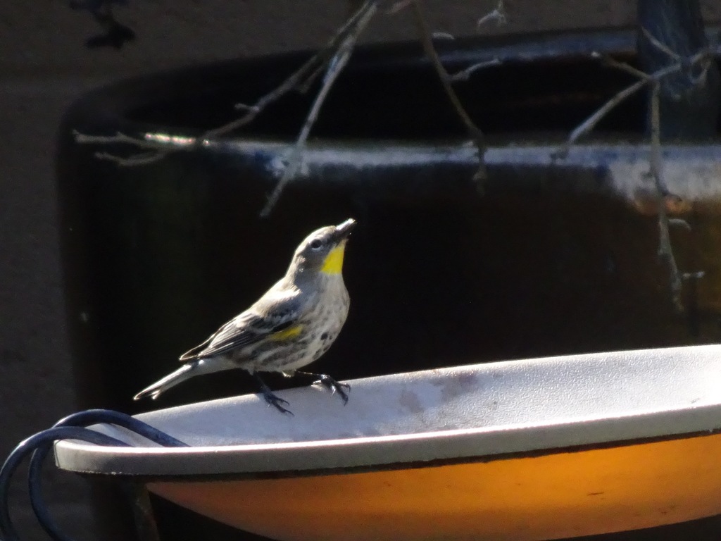
- Yellow-rumped WarblerDendroica coronata
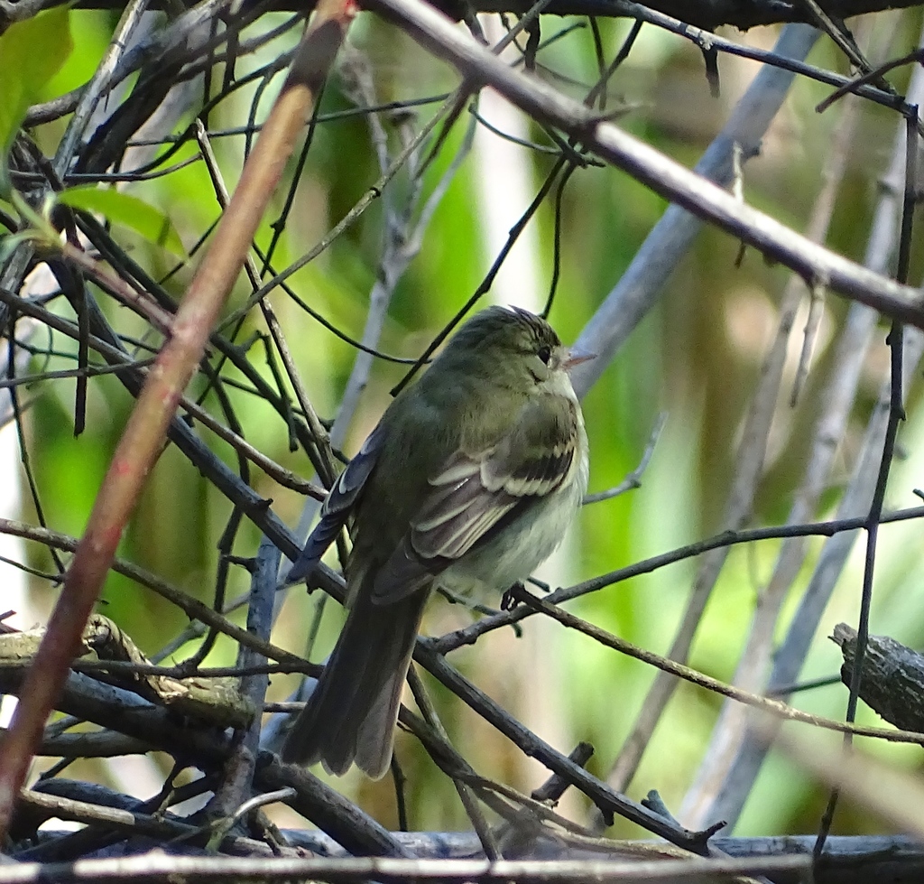
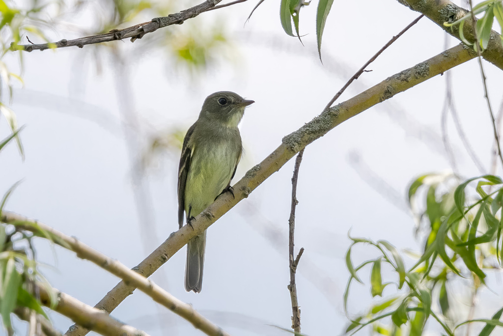
- Acadian FlycatcherEmpidonax virescens
- Alder FlycatcherEmpidonax alnorum
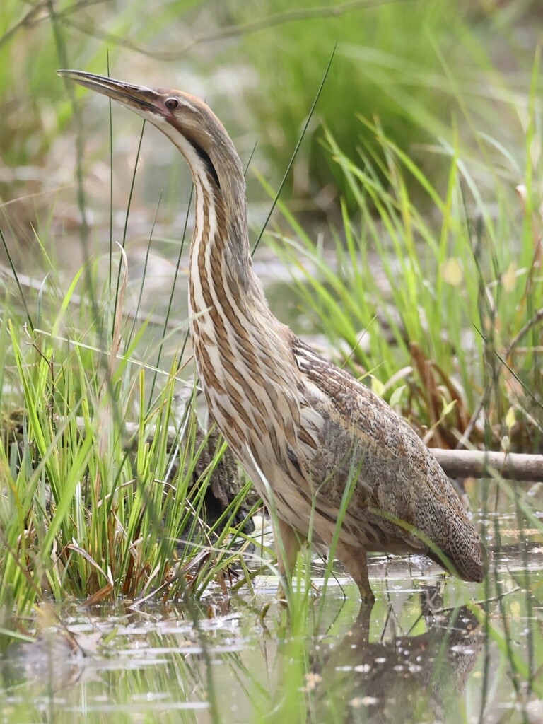
- American BitternBotaurus lentiginosus
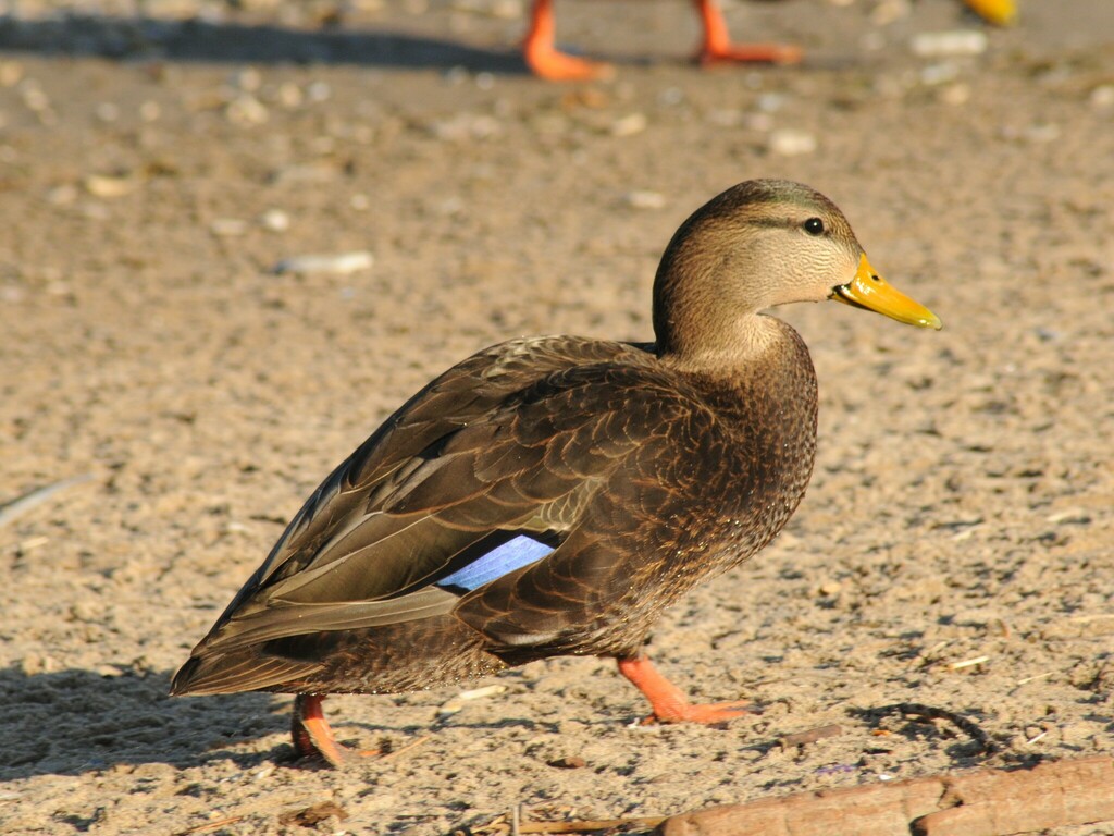
- American Black DuckAnas rubripes
- American CrowCorvus brachyrhynchos
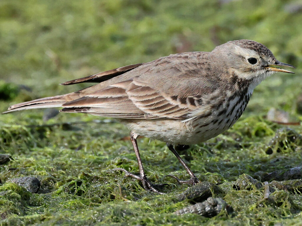
- American PipitAnthus rubescens
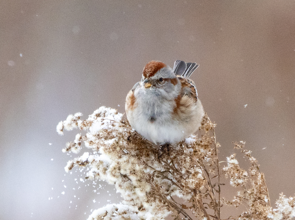
- American Tree SparrowSpizella arborea

NatureServe Explorer, CC BY 4.0. USGS Gap Analysis Project habitat models.
Sources
- USGS Gap Analysis Project habitat models (2001)
- USGS GAP winter habitat model for Cape May Warbler
- USGS Gap Analysis Project range maps (2001), modeled by watershed; migratory gives no dates
- NatureServe Explorer (CC BY 4.0), habitat names
- US Census TIGER/Line counties
- Names follow the USGS Gap Analysis Project (2001)