

Bird
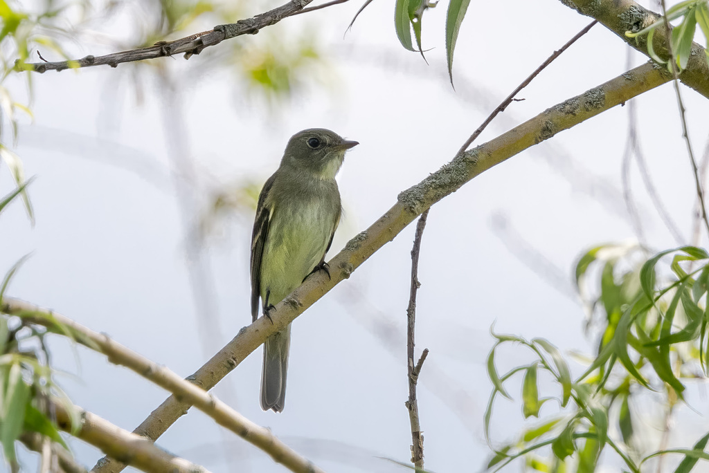
Willow Flycatcher
Empidonax traillii
A summer resident that nests in Alabama. Found in all 67 counties, across 4 habitats.
- Here
- Summer and on migration
- Nesting
- Nests here
- Range
- All 67 counties
- Habitats
- 4
Photograph not available yet.
At a glance
- Group
- Birds
- Here
- Summer and on migration
- Nesting
- Nests here
- Range
- All 67 counties
- Habitats
- 4
- Habitat models
- Summer
Where it lives
The places its habitat model includes. It is not found everywhere a habitat occurs.
Habitats in Alabama 4
Each habitat page lists the plants and wildlife also found there.
Streams, rivers and their banks
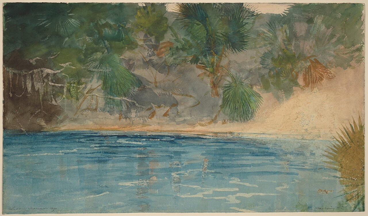
Disturbed and introduced wetlands
Wet ground taken over by weedy or introduced plants after disturbance, such as common reed, Chinese tallow or tamarisk stands; the upland counterpart is roadsides, fields and disturbed ground.
Floodplain and bottomland forests
Forests on low ground beside rivers and streams that flood from time to time.
Borders of forests, clearings and shrubby thickets.
Other habitats in its models (7)
Land cover, or classes with no habitat page in Alabama. Those recorded in Alabama first, the rest by region.
Elsewhere in the South (2)
- Mississippi River Riparian Forest Summer.
- Southern and Central Appalachian Bog and Fen Summer.
Midwest (1)
- Western Great Plains Wooded Draw and Ravine Summer, only within 120 m of water.
Land cover and other classes (4)
- Central Appalachian Riparian - Forest Modifier Summer.
- Central Interior and Appalachian Shrub-Herbaceous Wetland Systems Summer.
- Eastern Great Plains Floodplain Systems Summer.
- Western Great Plains Floodplain Systems Summer.
Seasons in Alabama
- Migratory: does not nest here, in all 67 counties.
- Summer: nests here, in 2 of 67 counties.
Also found in this habitat
Plants 448
Plants named in NatureServe descriptions of these habitats that grow in Alabama. Shared habitat, not food.
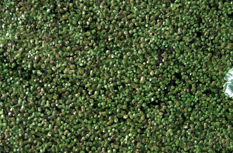
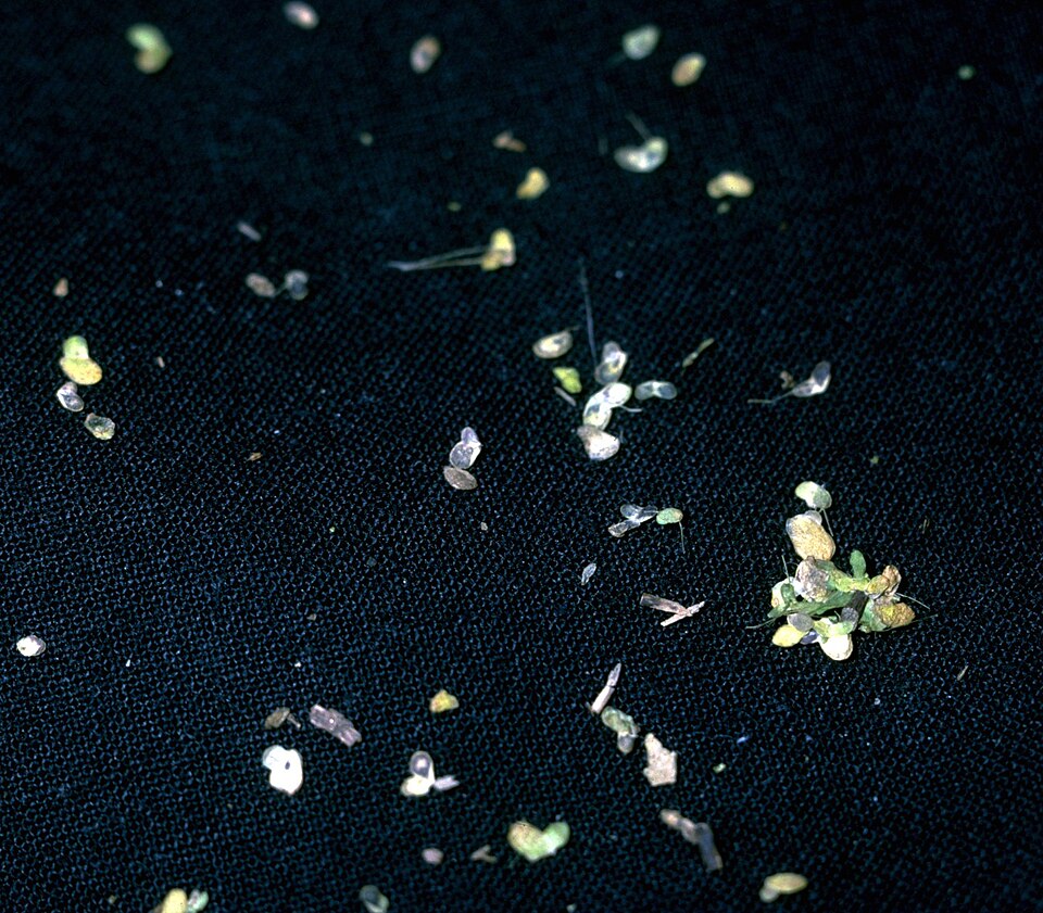
- Least DuckweedLemna minuta
- Little DuckweedLemna obscura
- Valdivia DuckweedLemna valdiviana
- Piedmont False-pimpernelLindernia monticola
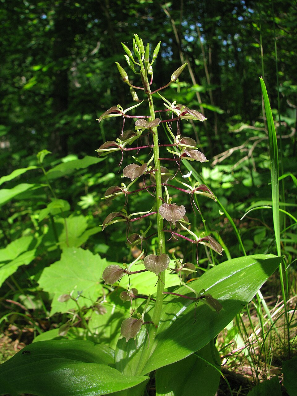
- Purple TwaybladeLiparis liliifolia
- Coastal Plain PuccoonLithospermum caroliniense
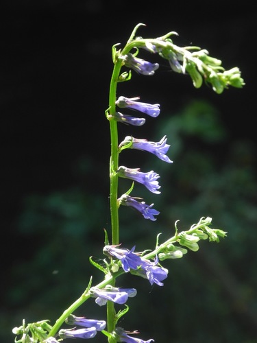
- Southern LobeliaLobelia amoena
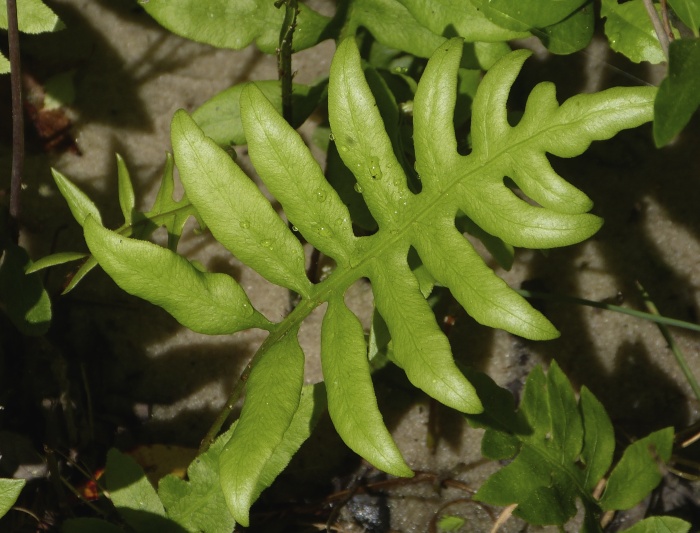
- Netted Chain-fernLorinseria areolata
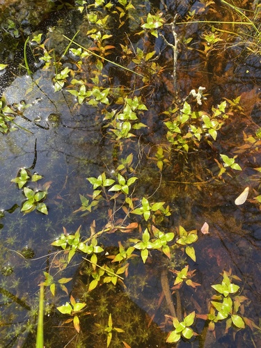
- Bushy SeedboxLudwigia alternifolia
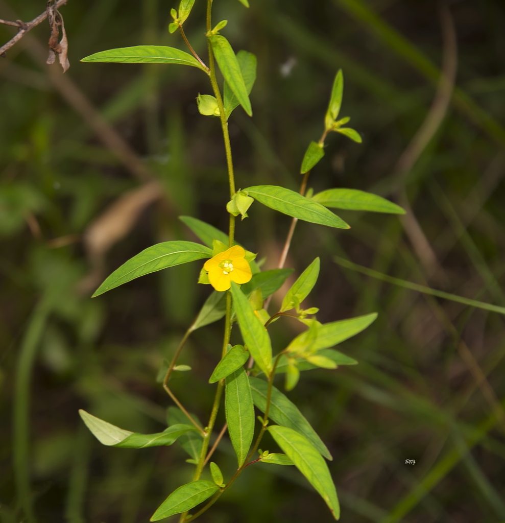
- Anglestem Primrose-willowLudwigia leptocarpa
- Marsh SeedboxLudwigia palustris
- Virginia BugleweedLycopus virginicus
- American Climbing FernLygodium palmatum
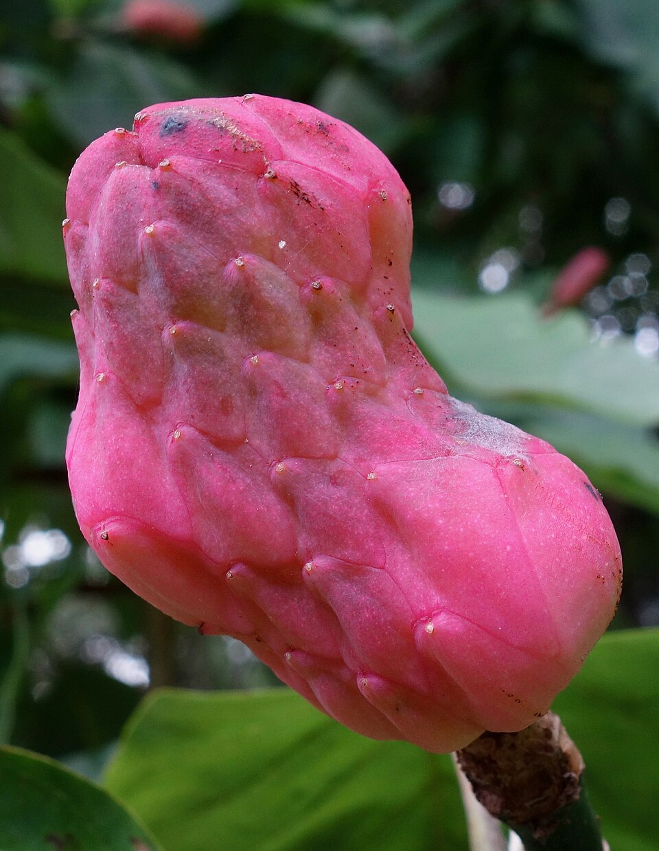
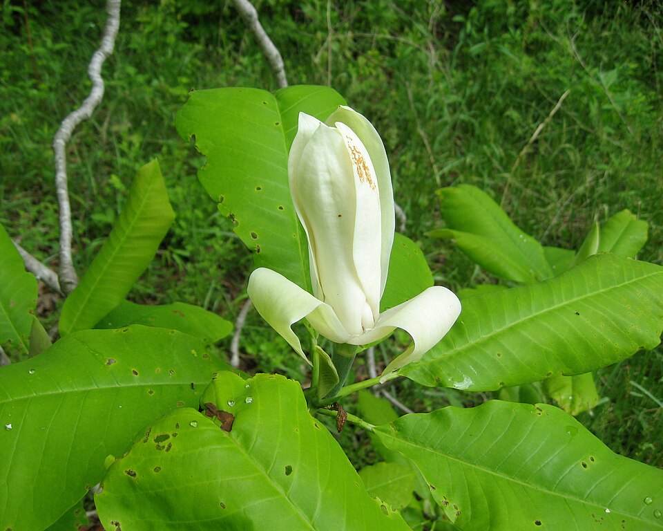
- Cucumber MagnoliaMagnolia acuminata
- Umbrella MagnoliaMagnolia tripetala
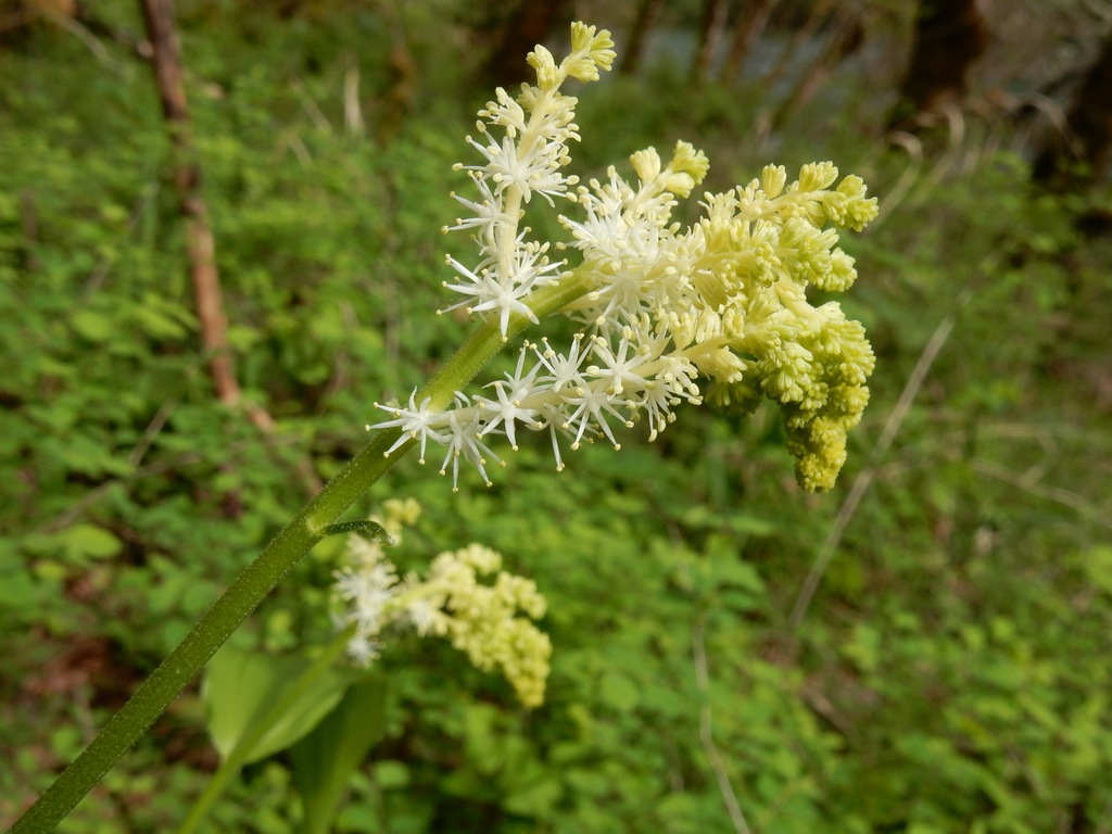
- False Solomon's-sealMaianthemum racemosum
- Matelea baldwynianaMatelea baldwyniana
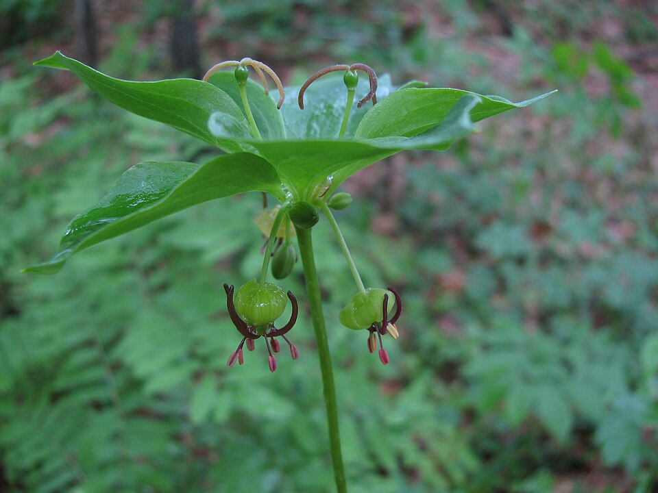
- Indian Cucumber-rootMedeola virginiana
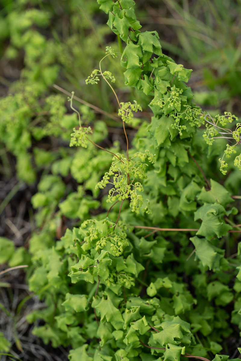
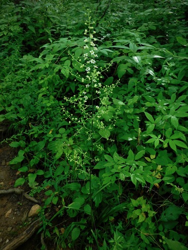
- Slender BunchflowerMelanthium hybridum
- Two-flower MelicgrassMelica mutica
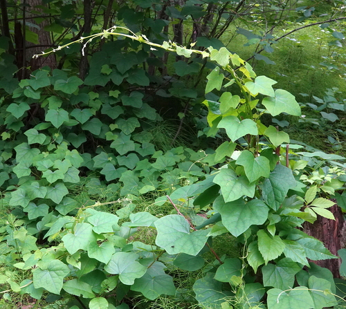
- Canada MoonseedMenispermum canadense
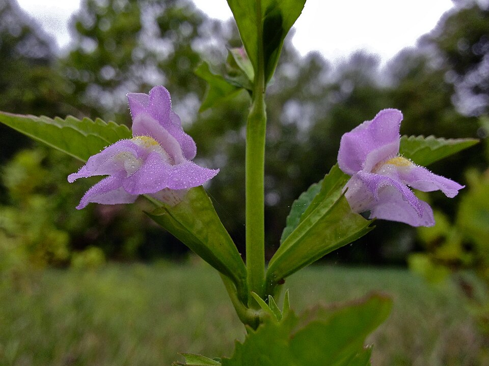
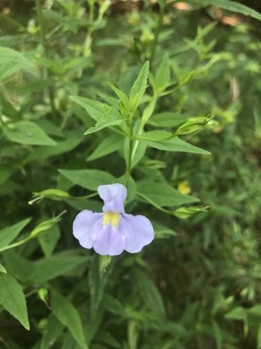
- Sharpwing Monkey-flowerMimulus alatus
- Allegheny Monkey-flowerMimulus ringens
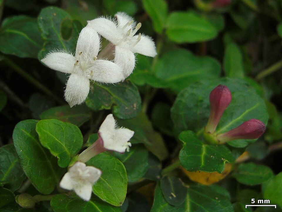
- Partridge-berryMitchella repens
Wildlife 225
Other animals whose habitat models include the same habitats in Alabama. Not sighting records.
- Alder FlycatcherEmpidonax alnorum
- American CrowCorvus brachyrhynchos
- American GoldfinchCarduelis tristis
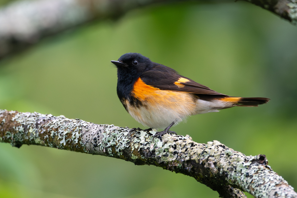
- American RedstartSetophaga ruticilla
- American RobinTurdus migratorius
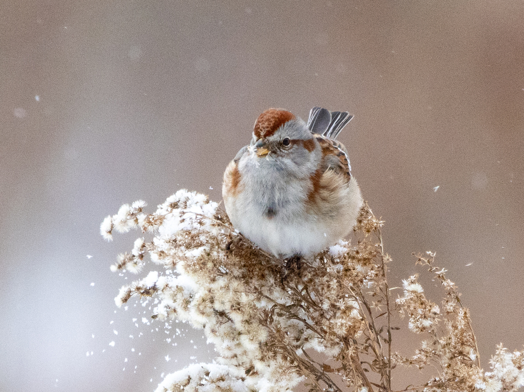
- American Tree SparrowSpizella arborea
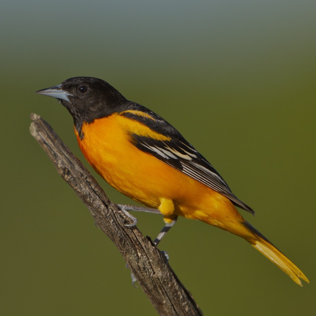
- Baltimore OrioleIcterus galbula
- Bank SwallowRiparia riparia
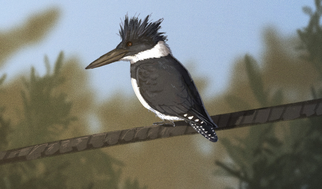
- Belted KingfisherMegaceryle alcyon
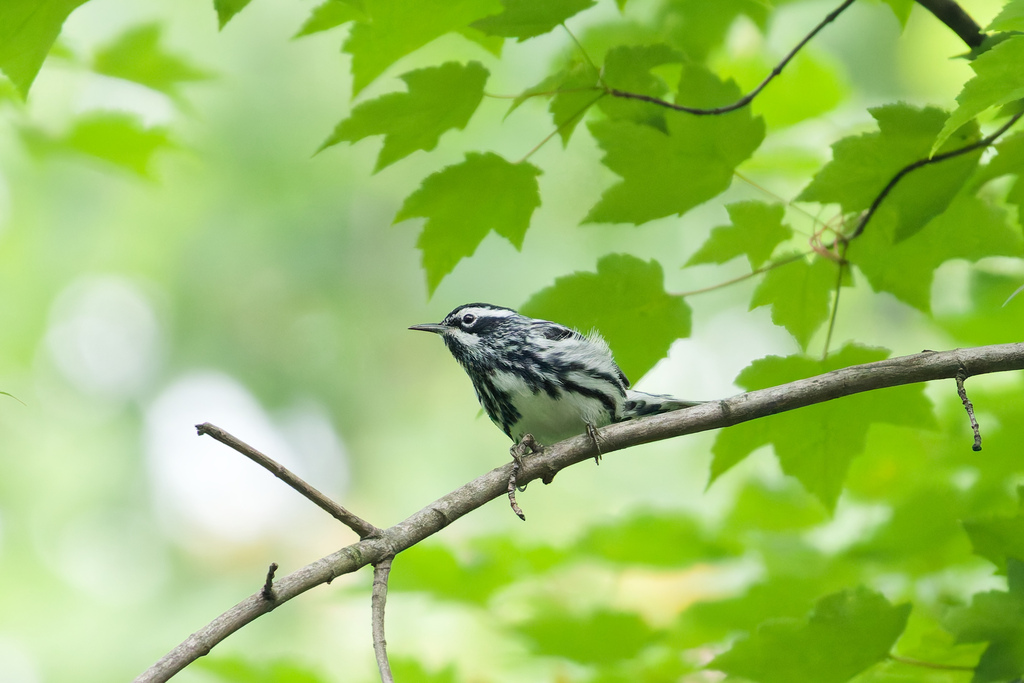
- Black-and-White WarblerMniotilta varia
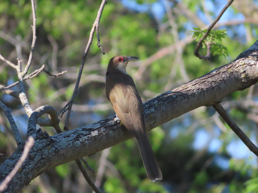
- Black-billed CuckooCoccyzus erythropthalmus
- Black-crowned Night-heronNycticorax nycticorax
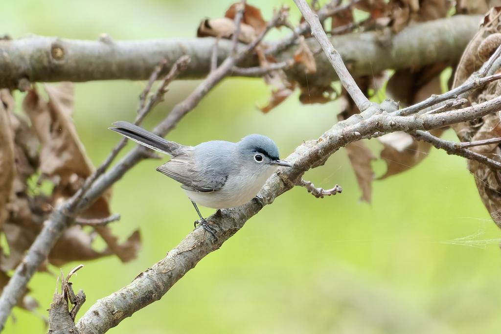
- Blue-gray GnatcatcherPolioptila caerulea
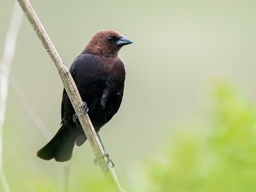
- Brown-headed CowbirdMolothrus ater
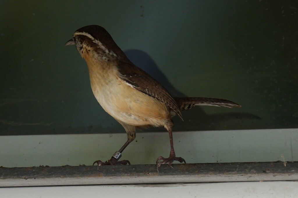
- Carolina WrenThryothorus ludovicianus
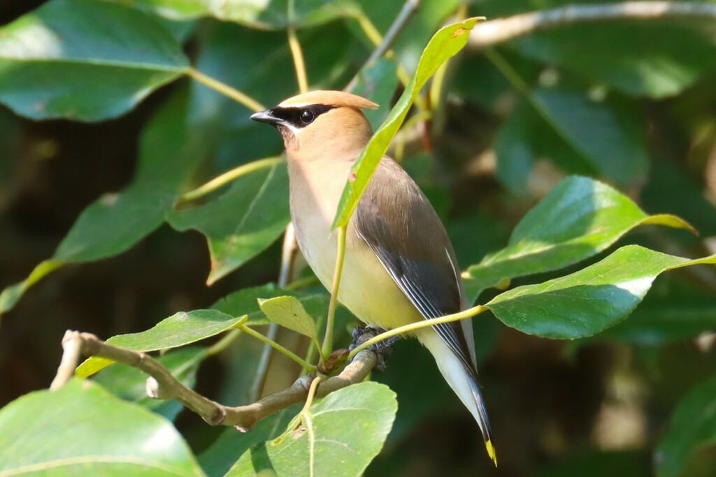
- Cedar WaxwingBombycilla cedrorum
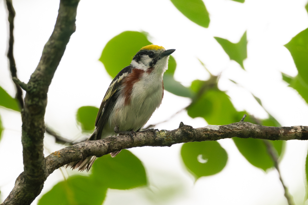
- Chestnut-sided WarblerDendroica pensylvanica
- Chimney SwiftChaetura pelagica
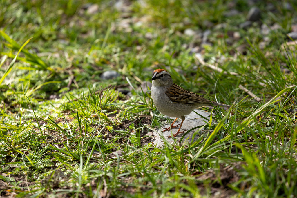
- Chipping SparrowSpizella passerina
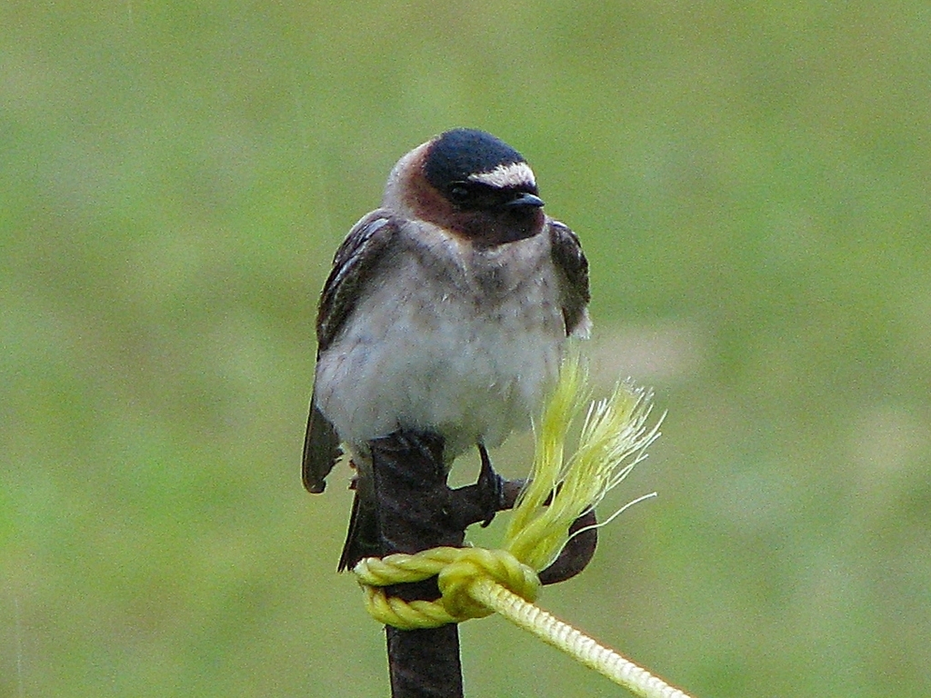
- Cliff SwallowPetrochelidon pyrrhonota
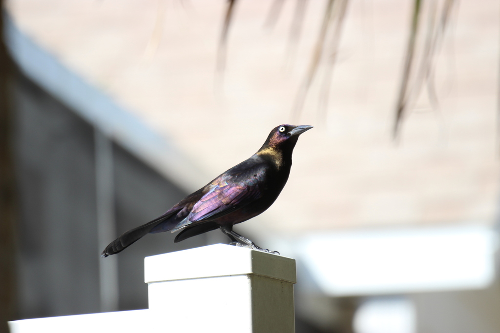
- Common GrackleQuiscalus quiscula
- Common NighthawkChordeiles minor
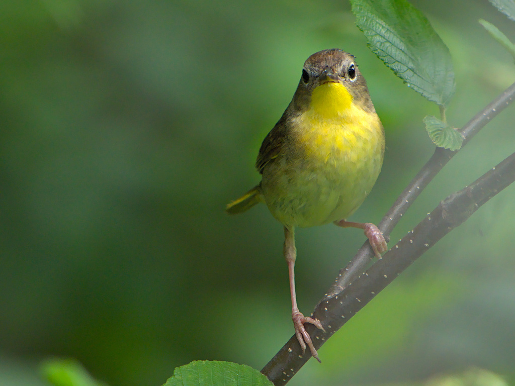
- Common YellowthroatGeothlypis trichas
- Cooper's HawkAccipiter cooperii









NatureServe Explorer, CC BY 4.0. USGS Gap Analysis Project habitat models.
Sources
- USGS Gap Analysis Project habitat models (2001)
- USGS GAP summer habitat model for Willow Flycatcher Elevation up to 850 m
- USGS Gap Analysis Project range maps (2001), modeled by watershed; migratory gives no dates
- NatureServe Explorer (CC BY 4.0), habitat names
- US Census TIGER/Line counties
- Names follow the USGS Gap Analysis Project (2001)