

Bird
Fish Crow
Corvus ossifragus
Lives in Alabama all year and nests here. Found in 55 of 67 counties, across 19 habitats.
- Here
- All year
- Nesting
- Nests here
- Range
- 55 of 67 counties
- Habitats
- 19
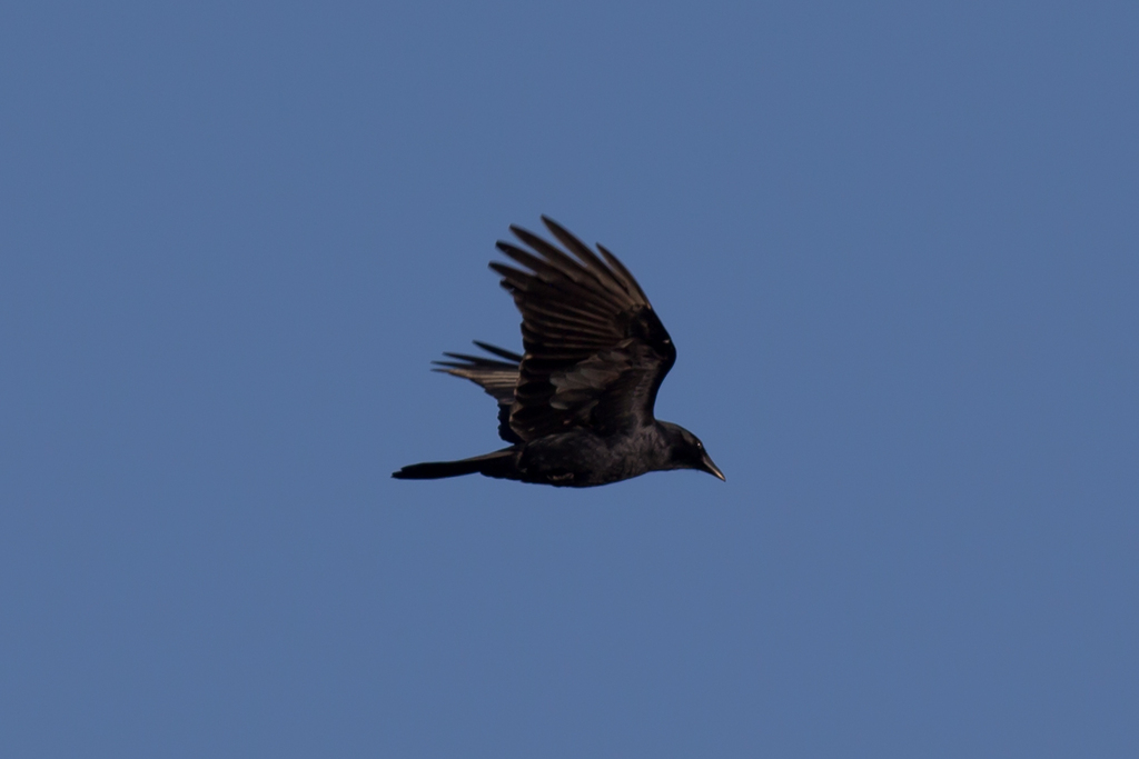
At a glance
- Group
- Birds
- Here
- All year
- Nesting
- Nests here
- Range
- 55 of 67 counties
- Habitats
- 19
- Habitat models
- Year-round
Where it lives
The places its habitat model includes. It is not found everywhere a habitat occurs.
Habitats in Alabama 19
Each habitat page lists the plants and wildlife also found there.
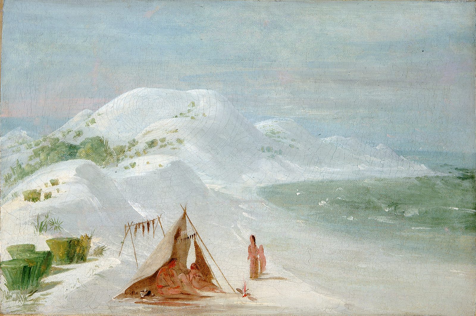
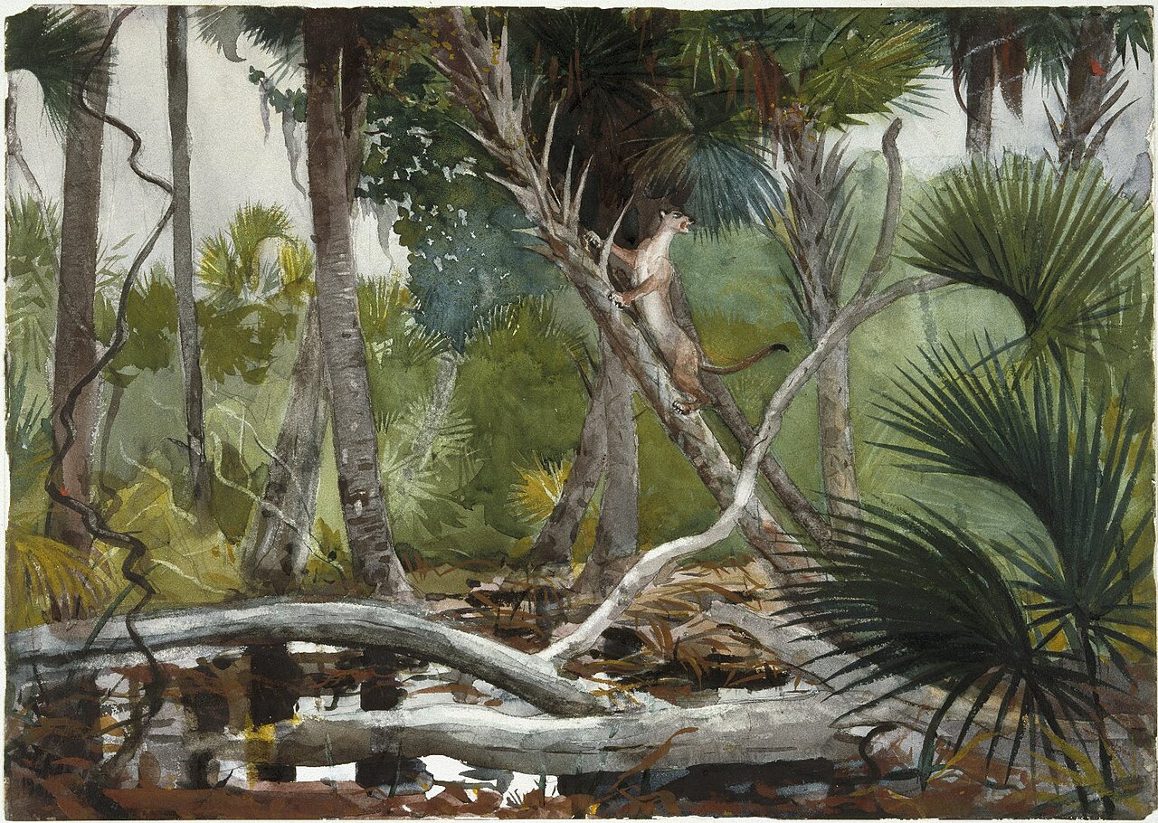
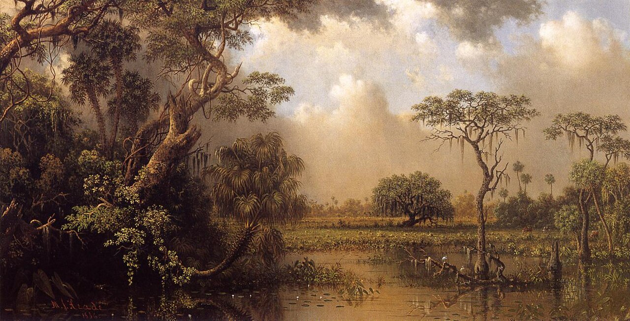
Open, wet, seepage-fed bogs of the Coastal Plain and Sandhills, often with pitcher plants.
Disturbed and introduced wetlands
Wet ground taken over by weedy or introduced plants after disturbance, such as common reed, Chinese tallow or tamarisk stands; the upland counterpart is roadsides, fields and disturbed ground.
Forests and open woodlands on dry ridges and slopes, often oak or pine.
Floodplain and bottomland forests
Forests on low ground beside rivers and streams that flood from time to time.
Borders of forests, clearings and shrubby thickets.
Glades, barrens and outcrops on limestone
Open, thin-soil openings and rock on limestone, dolomite or other lime-rich rock, including cedar glades.
Granite and other acidic rock outcrops
Bare or thin-soil rock on granite, gneiss, sandstone, quartzite and similar acidic rock, including granite flatrocks and domes.
Flat, poorly drained uplands and terraces with oaks, sweetgum and sometimes loblolly pine, wet in winter and dry in summer, but neither a floodplain nor a swamp.
Forests on moist but not wet ground, such as rich slopes and ravines.
Open, grass-dominated places kept open by fire, grazing or thin soil, from tallgrass prairie to Piedmont prairies.
Roadsides, fields and disturbed ground
Ground opened by people: roadsides, old fields, pastures, fencerows and lots.
Coastal marshes flooded by salty or brackish tides.
Tree plantations and managed pine
Planted or intensively managed stands of pine or hardwoods grown for timber; a land use rather than a natural community.
Other habitats in its models (86)
Land cover, or classes with no habitat page in Alabama. Those recorded in Alabama first, the rest by region.
In Alabama 1
- Southern Piedmont Glade and Barrens Year-round.
Elsewhere in the South (50)
- Atlantic Coastal Plain Brownwater Stream Floodplain Forest Year-round.
- Atlantic Coastal Plain Central Fresh-Oligohaline Tidal Marsh Year-round.
- Atlantic Coastal Plain Central Salt and Brackish Tidal Marsh Year-round.
- Atlantic Coastal Plain Embayed Region Tidal Freshwater Marsh Year-round.
- Atlantic Coastal Plain Embayed Region Tidal Salt and Brackish Marsh Year-round.
- Atlantic Coastal Plain Indian River Lagoon Tidal Marsh Year-round.
- Atlantic Coastal Plain Large Natural Lakeshore Year-round.
- Atlantic Coastal Plain Mesic Hardwood and Mixed Forest Year-round.
- Atlantic Coastal Plain Northern Tidal Wooded Swamp Year-round.
- Atlantic Coastal Plain Peatland Pocosin Year-round.
- Atlantic Coastal Plain Sea Island Beach Year-round.
- Atlantic Coastal Plain Small Blackwater River Floodplain Forest Year-round.
- Atlantic Coastal Plain Small Brownwater River Floodplain Forest Year-round.
- Atlantic Coastal Plain Southern Beach Year-round.
- Atlantic Coastal Plain Southern Dune and Maritime Grassland Year-round.
- Atlantic Coastal Plain Southern Tidal Wooded Swamp Year-round.
- Atlantic Coastal Plain Southern Wet Pine Savanna and Flatwoods Year-round.
- Atlantic Coastal Plain Upland Longleaf Pine Woodland Year-round.
- Atlantic Coastal Plain Xeric River Dune Year-round.
- Central Atlantic Coastal Plain Wet Longleaf Pine Savanna and Flatwoods Year-round.
- Central Florida Herbaceous Pondshore Year-round.
- Central Florida Herbaceous Seep Year-round.
- Central Florida Pine Flatwoods Year-round.
- East Gulf Coastal Plain Northern Loess Bluff Forest Year-round.
- East Gulf Coastal Plain Southern Loess Bluff Forest Year-round.
- Florida Big Bend Fresh-Oligohaline Tidal Marsh Year-round.
- Florida Big Bend Salt-Brackish Tidal Marsh Year-round.
- Florida Dry Prairie Year-round.
- Florida Peninsula Inland Scrub Year-round.
- Floridian Highlands Freshwater Marsh Year-round.
- Louisiana Beach Year-round.
- Mississippi River Low Floodplain (Bottomland) Forest Year-round.
- Mississippi River Riparian Forest Year-round.
- Nashville Basin Limestone Glade Year-round.
- Red River Large Floodplain Forest Year-round.
- South Florida Bayhead Swamp Year-round.
- South Florida Cypress Dome Year-round.
- South Florida Dwarf Cypress Savanna Year-round.
- South Florida Everglades Sawgrass Marsh Year-round.
- South Florida Freshwater Slough and Gator Hole Year-round.
- South Florida Hardwood Hammock Year-round.
- South Florida Mangrove Swamp Year-round.
- South Florida Pine Flatwoods Year-round.
- South Florida Pine Rockland Year-round.
- South Florida Shell Hash Beach Year-round.
- South Florida Wet Marl Prairie Year-round.
- Southeast Florida Beach Year-round.
- Southern and Central Appalachian Bog and Fen Year-round.
- Southwest Florida Beach Year-round.
- Southwest Florida Dune and Coastal Grassland Year-round.
Northeast (4)
- Atlantic Coastal Plain Northern Fresh and Oligohaline Tidal Marsh Year-round.
- Atlantic Coastal Plain Northern Sandy Beach Year-round.
- Atlantic Coastal Plain Northern Tidal Salt Marsh Year-round.
- Northern Atlantic Coastal Plain Basin Swamp and Wet Hardwood Forest Year-round.
Midwest (2)
- Central Interior Acidic Cliff and Talus Year-round.
- Central Interior Calcareous Cliff and Talus Year-round.
Land cover and other classes (29)
- Atlantic Coastal Plain Blackwater Stream Floodplain Forest - Forest Modifier Year-round.
- Atlantic Coastal Plain Clay-Based Carolina Bay Forested Wetland Year-round.
- Atlantic Coastal Plain Clay-Based Carolina Bay Herbaceous Wetland Year-round.
- Atlantic Coastal Plain Depression Pondshore Year-round.
- Atlantic Coastal Plain Fall-line Sandhills Longleaf Pine Woodland - Open Understory Modifier Year-round.
- Atlantic Coastal Plain Fall-line Sandhills Longleaf Pine Woodland - Scrub/Shrub Understory Modifier Year-round.
- Atlantic Coastal Plain Nonriverine Swamp and Wet Hardwood Forest - Oak Dominated Modifier Year-round.
- Atlantic Coastal Plain Nonriverine Swamp and Wet Hardwood Forest - Taxodium/Nyssa Modifier Year-round.
- Atlantic Coastal Plain Streamhead Seepage Swamp - Pocosin - and Baygall Year-round.
- Developed, Low Intensity Year-round.
- Developed, Medium Intensity Year-round.
- East Gulf Coastal Plain Black Belt Calcareous Prairie and Woodland - Woodland Modifier Year-round.
- East Gulf Coastal Plain Interior Upland Longleaf Pine Woodland - Loblolly Modifier Year-round.
- East Gulf Coastal Plain Interior Upland Longleaf Pine Woodland - Open Understory Modifier Year-round.
- East Gulf Coastal Plain Interior Upland Longleaf Pine Woodland - Scrub/Shrub Modifier Year-round.
- East Gulf Coastal Plain Large River Floodplain Forest - Herbaceous Modifier Year-round.
- East Gulf Coastal Plain Near-Coast Pine Flatwoods - Offsite Hardwood Modifier Year-round.
- East Gulf Coastal Plain Southern Depression Pondshore Year-round.
- Introduced Upland Vegetation - Shrub Year-round.
- Lower Mississippi River Bottomland Depressions - Forest Modifier Year-round.
- Recently Burned Year-round.
- Recently Burned Forest Year-round.
- Recently Burned Shrubland Year-round.
- Recently Logged Areas Year-round.
- Southern Coastal Plain Nonriverine Basin Swamp - Okefenokee Clethra Modifier Year-round.
- Southern Coastal Plain Nonriverine Basin Swamp - Okefenokee Pine Modifier Year-round.
- Texas-Louisiana Coastal Prairie Slough Year-round.
- Unconsolidated Shore Year-round.
- Unconsolidated Shore (Lake/River/Pond) Year-round.
Seasons in Alabama
- Year-round: nests here, in 55 of 67 counties.
Also found in this habitat
Plants 786
Plants named in NatureServe descriptions of these habitats that grow in Alabama. Shared habitat, not food.
- American HazelnutCorylus americana
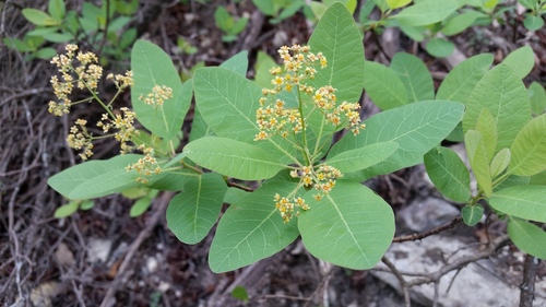
- American Smoke TreeCotinus obovatus
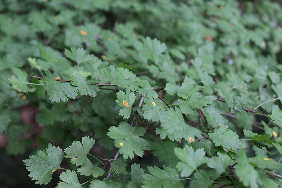
- Parsley HawthornCrataegus marshallii
- Riverflat HawthornCrataegus opaca
- Crataegus trifloraCrataegus triflora
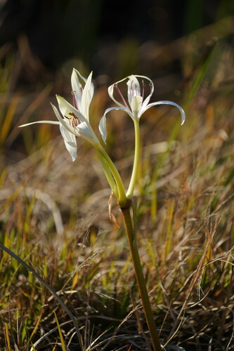
- Southern Swamp-lilyCrinum americanum
- Coastal Sand FrostweedCrocanthemum arenicola
- Hazel DodderCuscuta coryli
- Harpers DodderCuscuta harperi
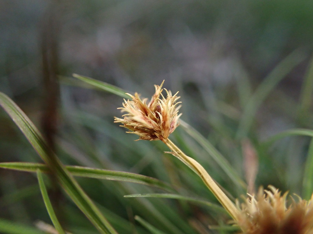
- Le Conte's FlatsedgeCyperus lecontei
- Bearded FlatsedgeCyperus squarrosus
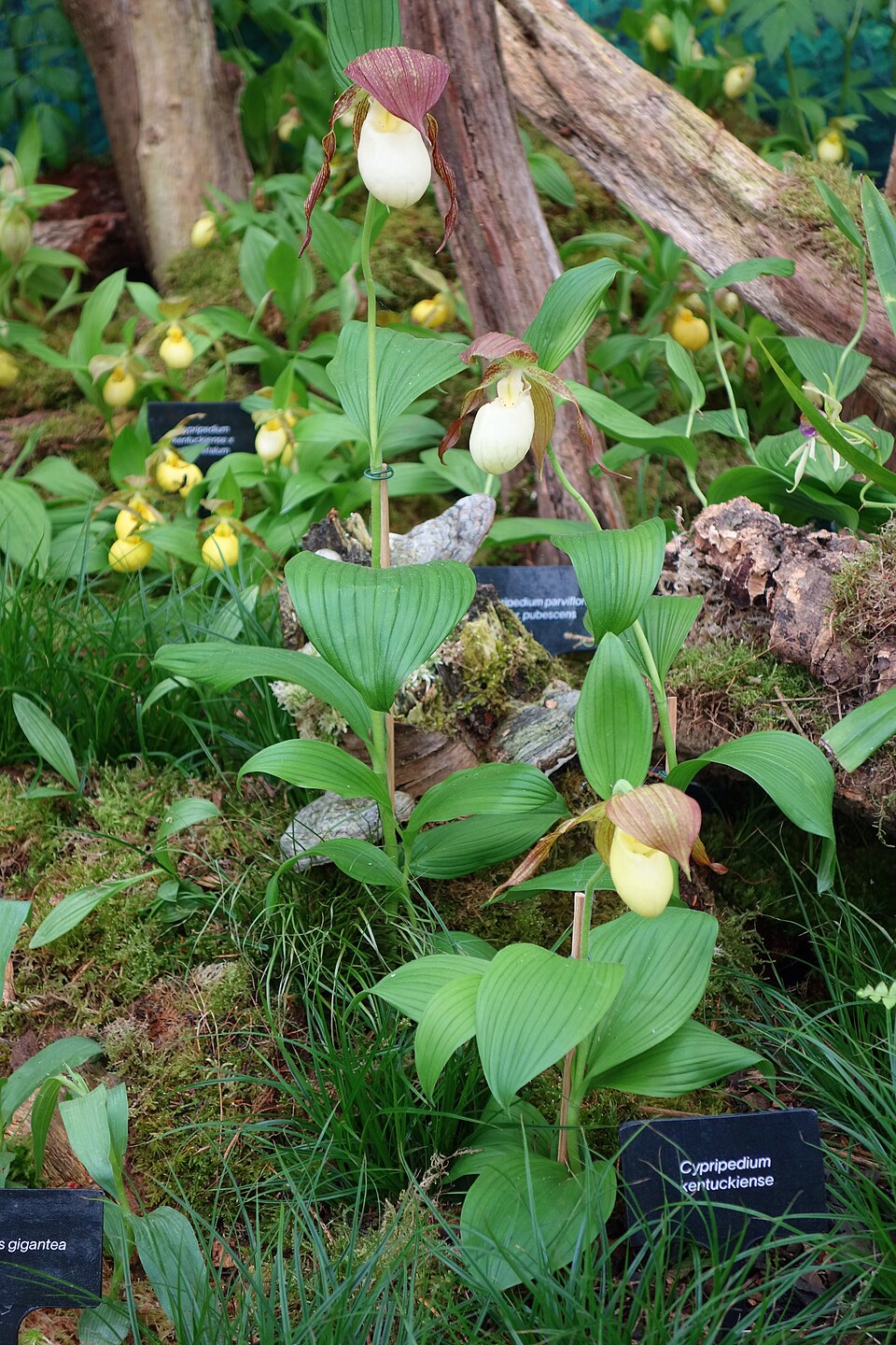
- Kentucky Ladys SlipperCypripedium kentuckiense
- Cypripedium parviflorum var. pubescensCypripedium pubescens
- Gattingers Prairie CloverDalea gattingeri
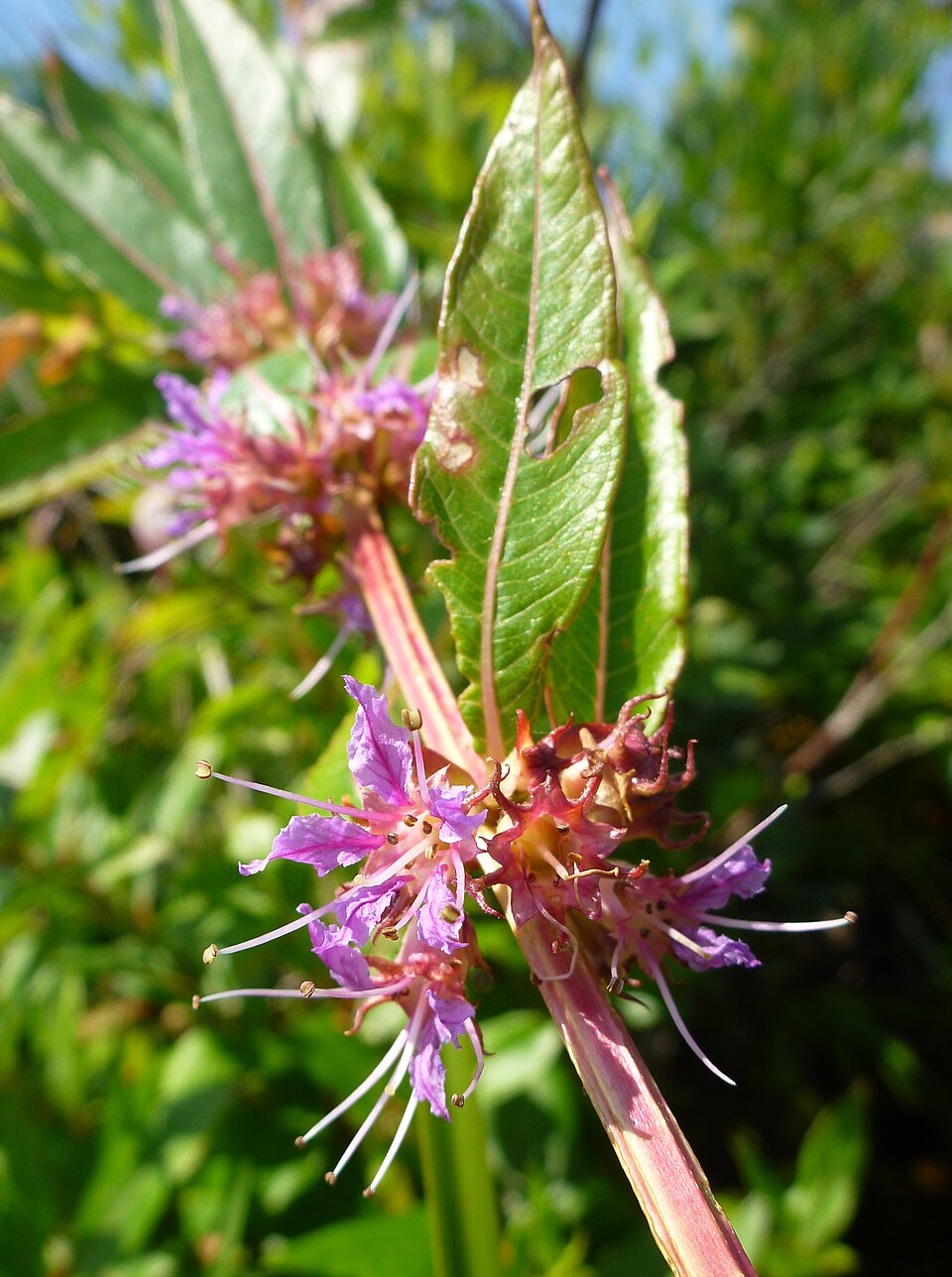
- Swamp LoosestrifeDecodon verticillatus
- Delphinium alabamicumDelphinium alabamicum
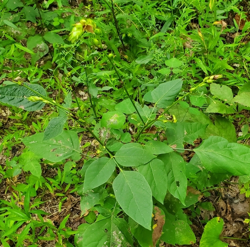
- Largebract Tick-trefoilDesmodium cuspidatum
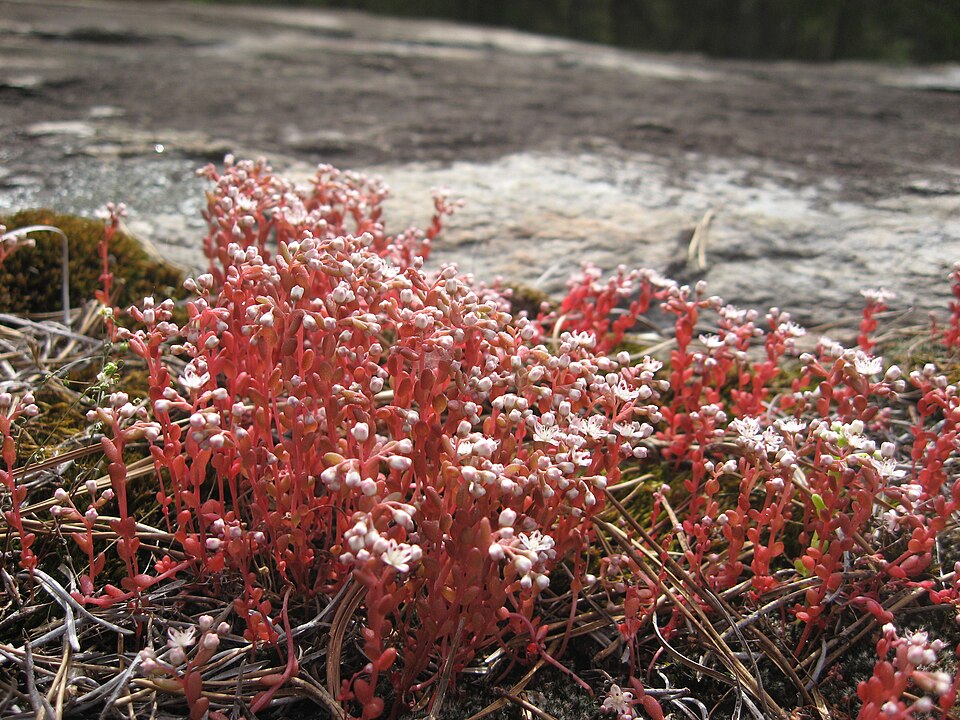
- Elf OrpineDiamorpha smallii
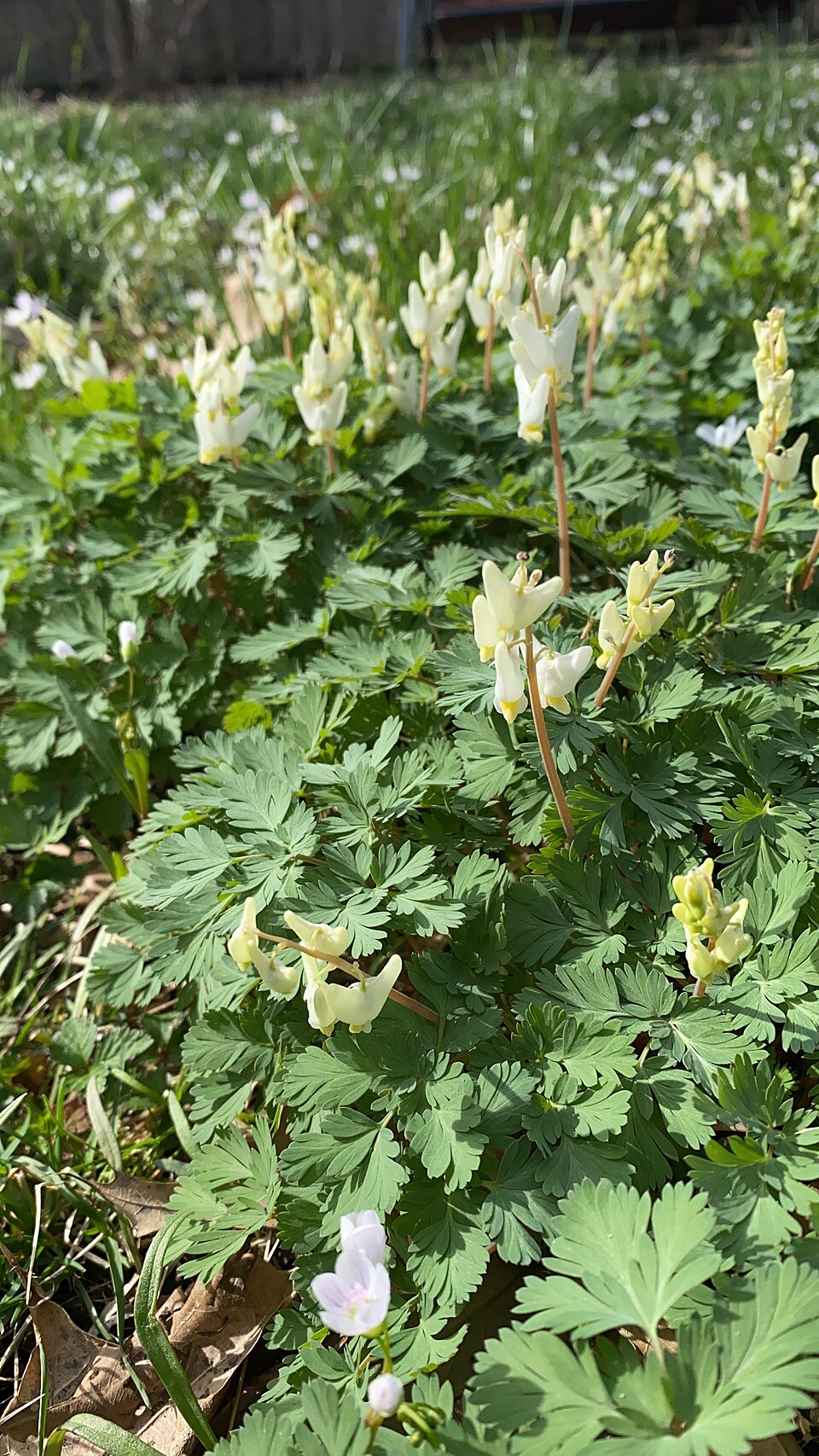
- Dutchman's BreechesDicentra cucullaria
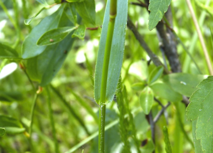
- Deer-tongue WitchgrassDichanthelium clandestinum
- Erectleaf WitchgrassDichanthelium erectifolium
- Rough WitchgrassDichanthelium leucothrix
- Wright's WitchgrassDichanthelium wrightianum
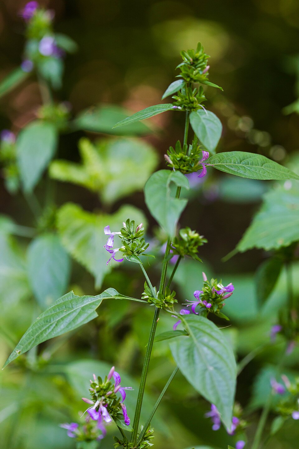
- Branched FoldwingDicliptera brachiata
Wildlife 255
Other animals whose habitat models include the same habitats in Alabama. Not sighting records.
- American CrowCorvus brachyrhynchos
- Chimney SwiftChaetura pelagica
- Common NighthawkChordeiles minor
- Cooper's HawkAccipiter cooperii
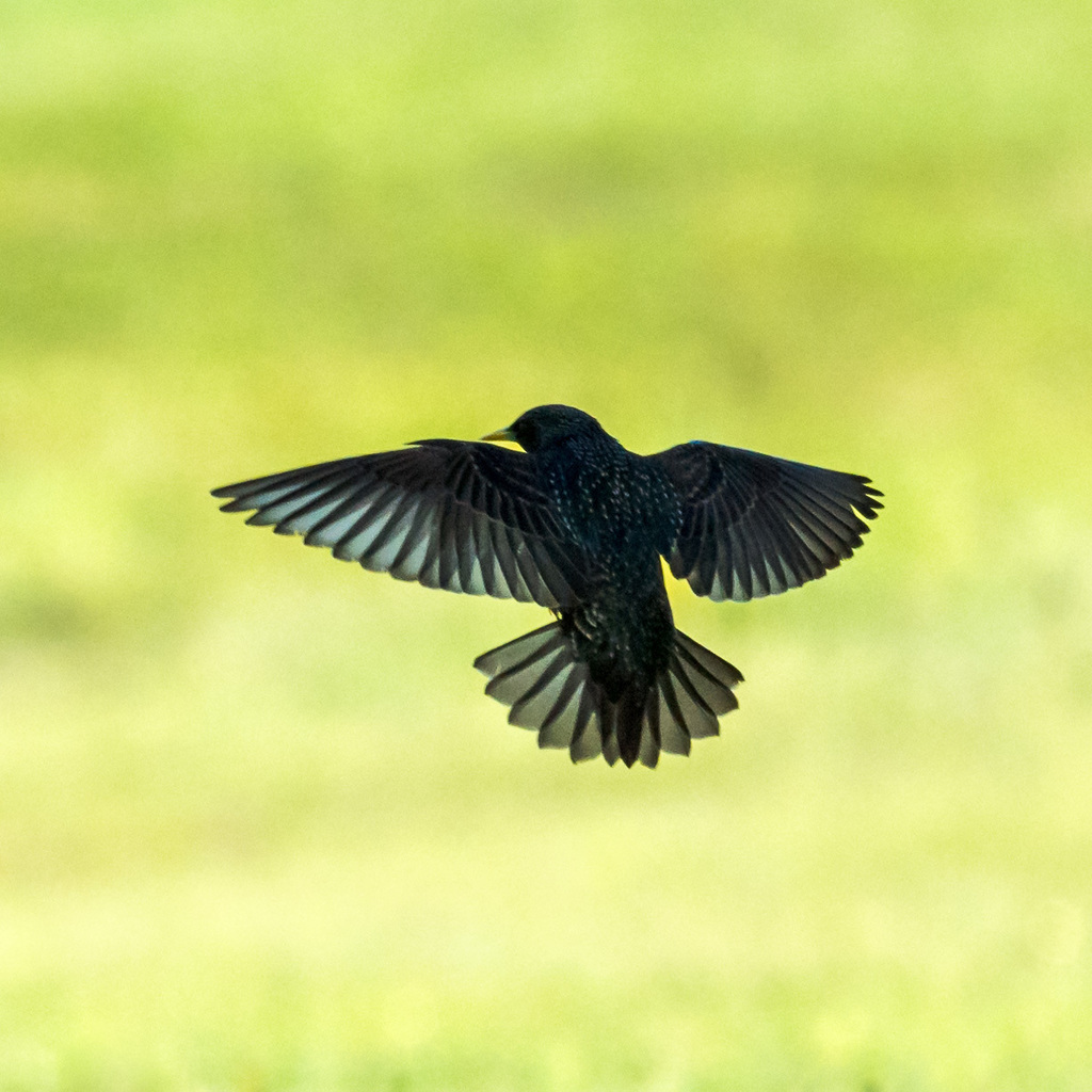
- European StarlingSturnus vulgaris
- Great Horned OwlBubo virginianus
- Red-winged BlackbirdAgelaius phoeniceus
- Sharp-shinned HawkAccipiter striatus
- Turkey VultureCathartes aura
- Eastern KingbirdTyrannus tyrannus
- Northern CardinalCardinalis cardinalis
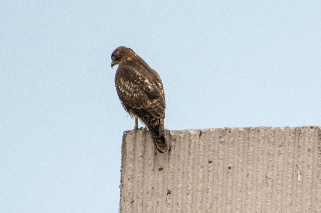
- Red-tailed HawkButeo jamaicensis
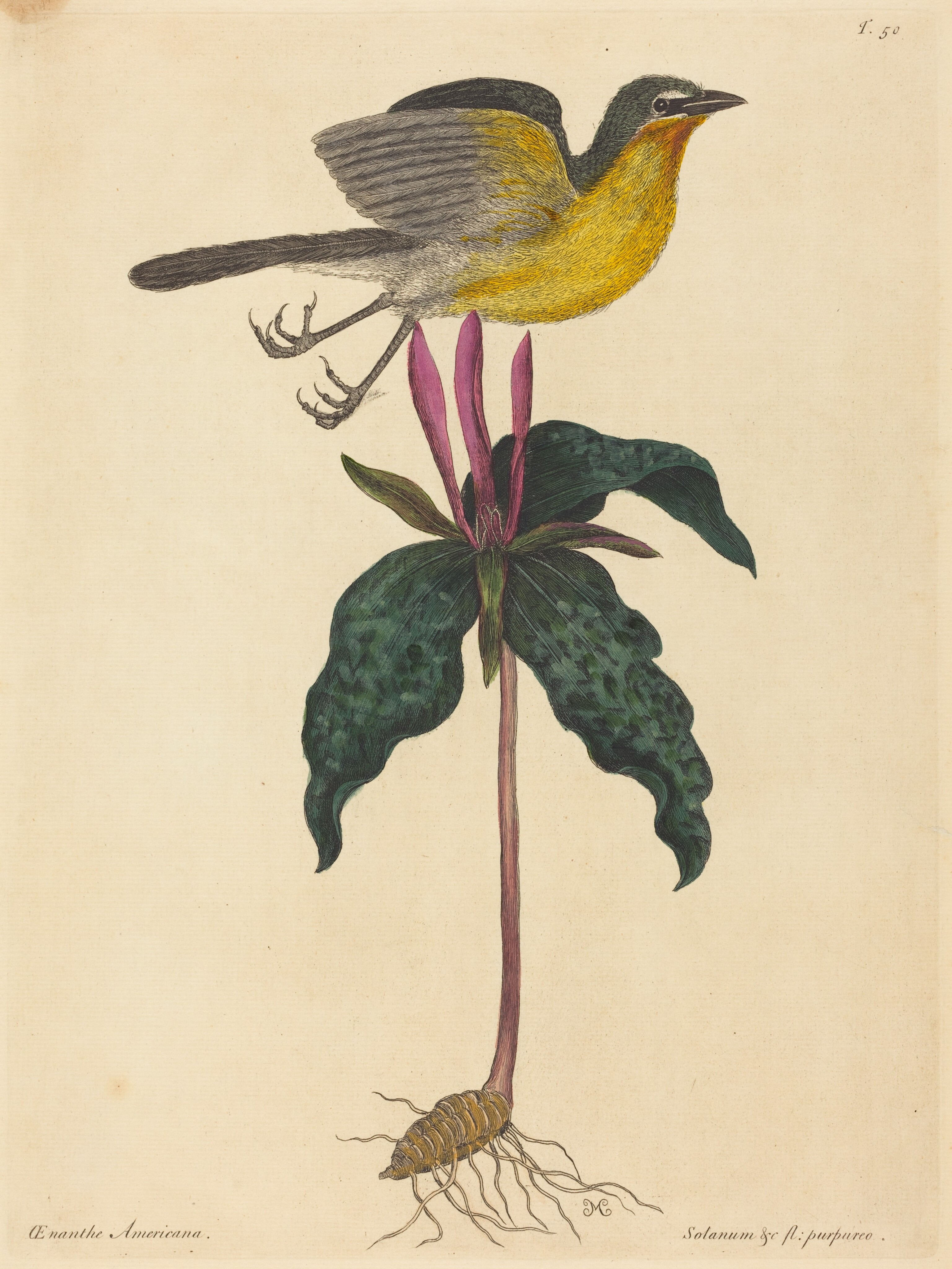
- Yellow-breasted ChatIcteria virens
- American GoldfinchCarduelis tristis
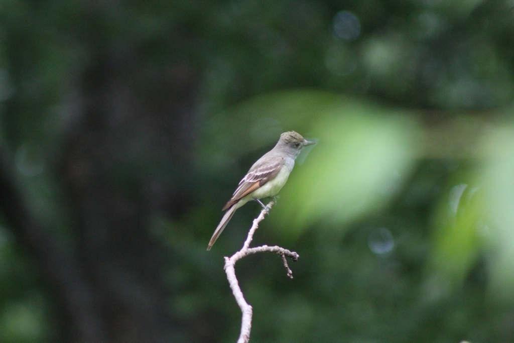
- Great Crested FlycatcherMyiarchus crinitus
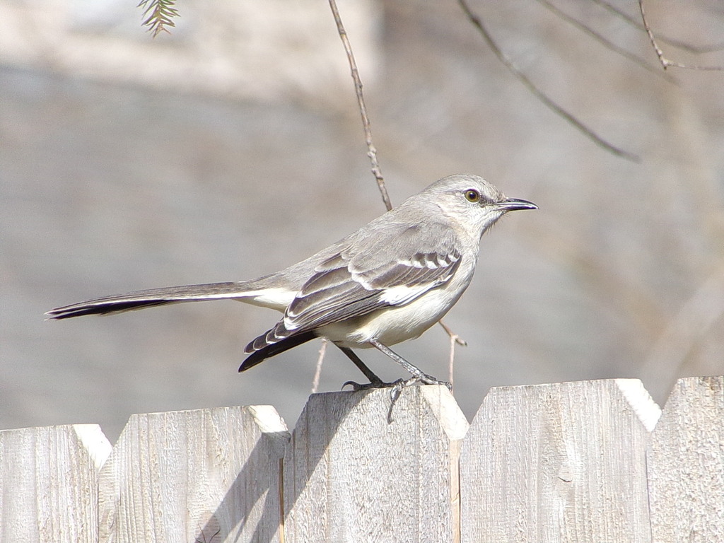
- Northern MockingbirdMimus polyglottos
- American KestrelFalco sparverius
- American RobinTurdus migratorius
- Common GrackleQuiscalus quiscula
- Common YellowthroatGeothlypis trichas
- Eurasian Collared-doveStreptopelia decaocto
- Mourning DoveZenaida macroura
- Spotted SandpiperActitis macularius
- Black-crowned Night-heronNycticorax nycticorax





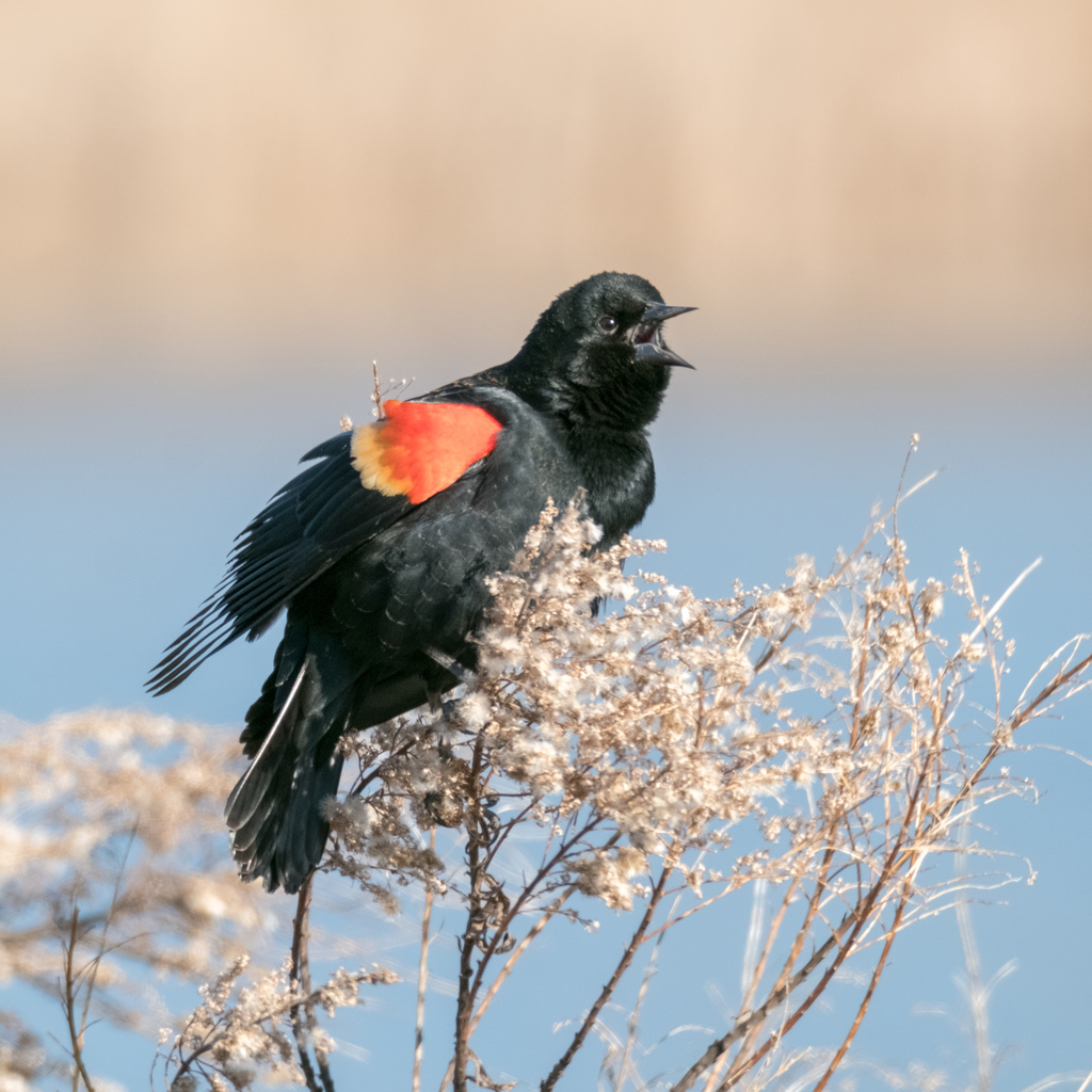
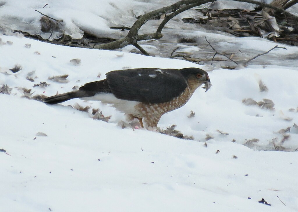
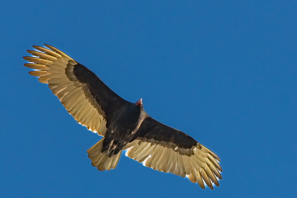

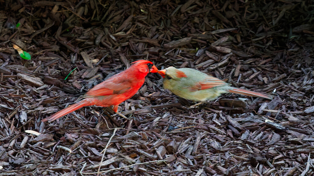

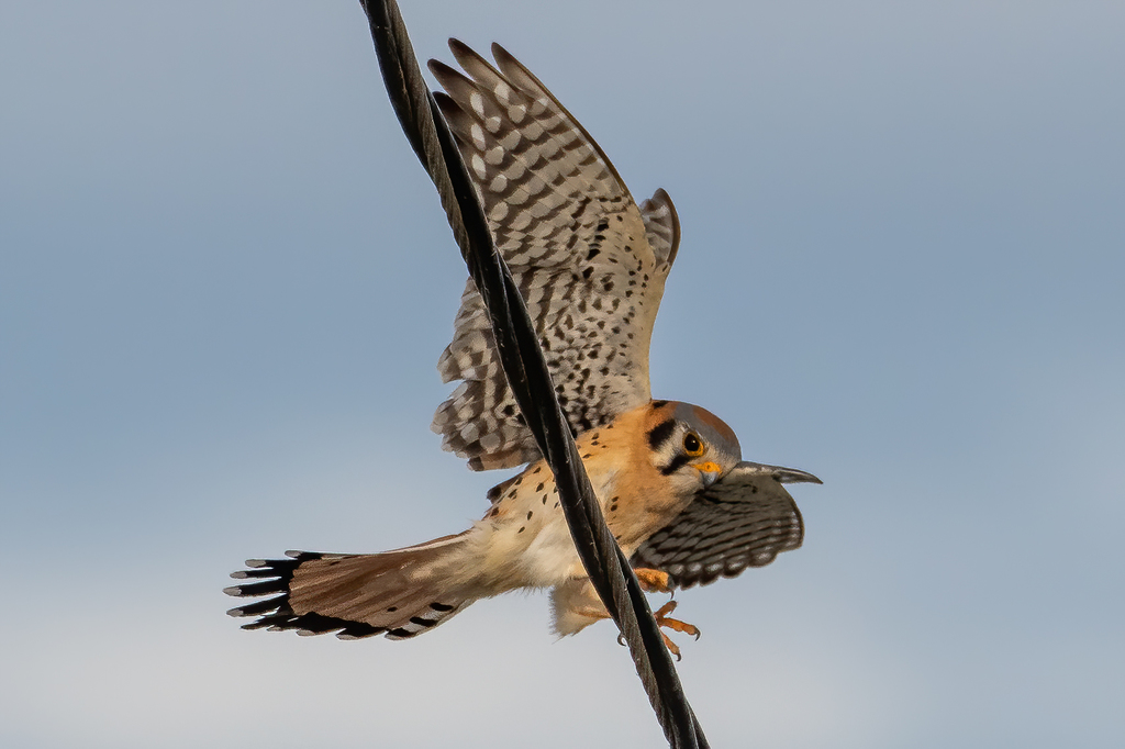

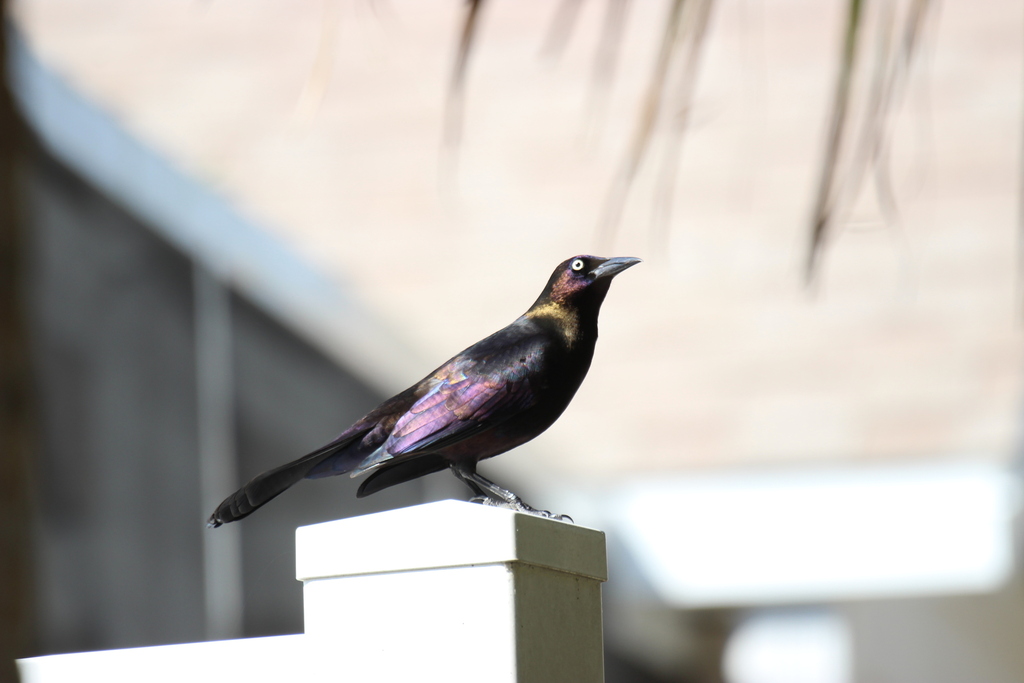
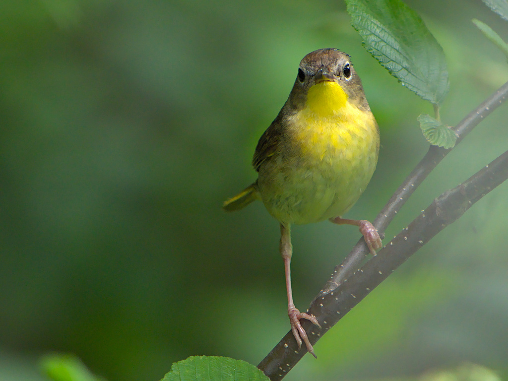
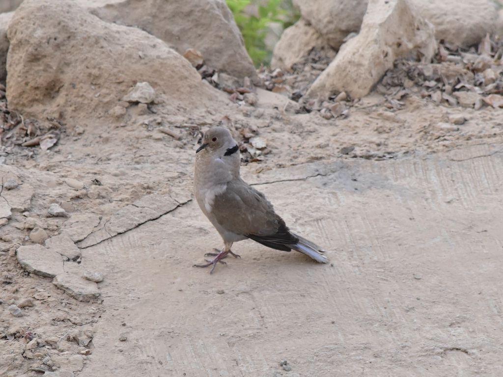
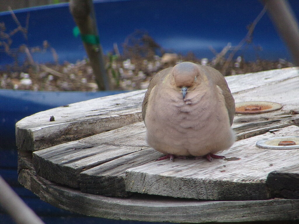
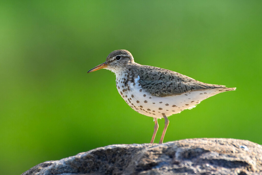



NatureServe Explorer, CC BY 4.0. USGS Gap Analysis Project habitat models.
Sources
- USGS Gap Analysis Project habitat models (2001)
- USGS GAP year-round habitat model for Fish Crow
- USGS Gap Analysis Project range maps (2001), modeled by watershed; migratory gives no dates
- NatureServe Explorer (CC BY 4.0), habitat names
- US Census TIGER/Line counties
- Names follow the USGS Gap Analysis Project (2001)