

Bird
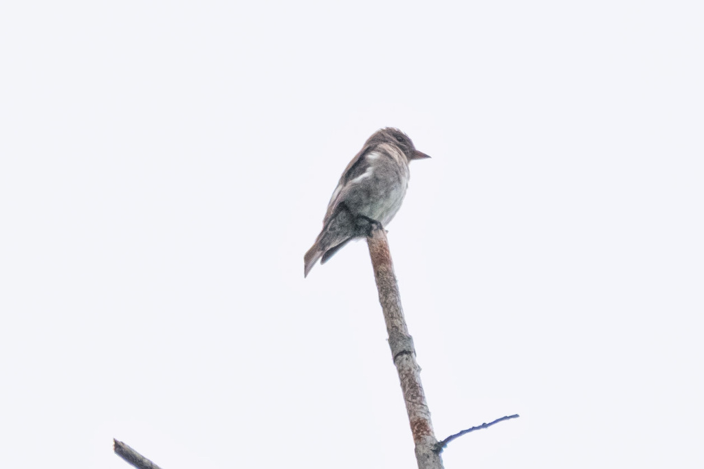
Willow Flycatcher
Empidonax traillii
A summer resident that nests in Virginia. Found in 131 of 133 counties and cities, across 5 habitats.
- Here
- Summer and on migration
- Nesting
- Nests here
- Range
- 131 of 133 counties and cities
- Habitats
- 5
Photograph not available yet.
At a glance
- Group
- Birds
- Here
- Summer and on migration
- Nesting
- Nests here
- Range
- 131 of 133 counties and cities
- Habitats
- 5
- Habitat models
- Summer
Where it lives
The places its habitat model includes. It is not found everywhere a habitat occurs.
Habitats in Virginia 5
Each habitat page lists the plants and wildlife also found there.
Streams, rivers and their banks
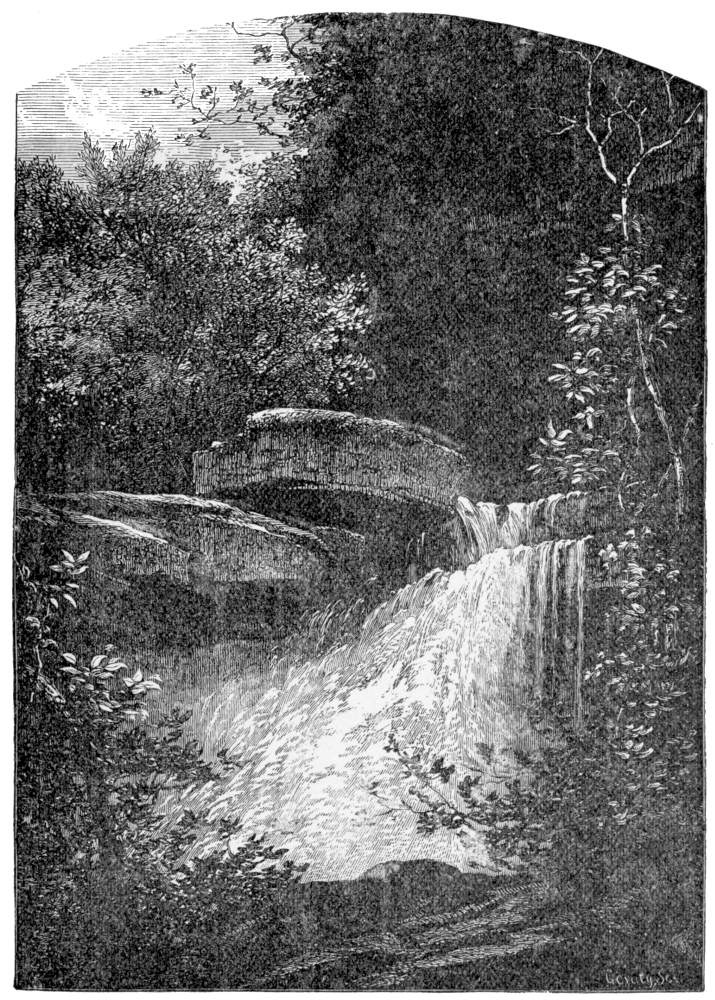
Disturbed and introduced wetlands
Wet ground taken over by weedy or introduced plants after disturbance, such as common reed, Chinese tallow or tamarisk stands; the upland counterpart is roadsides, fields and disturbed ground.
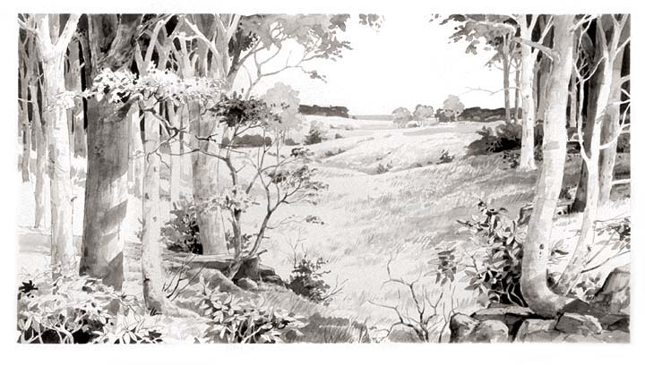
Floodplain and bottomland forests
Forests on low ground beside rivers and streams that flood from time to time.
Wet, open, peaty mountain wetlands fed by seepage, often with sphagnum moss.
Other habitats in its models (6)
Land cover, or classes with no habitat page in Virginia.
- Western Great Plains Wooded Draw and Ravine Summer, only within 120 m of water.
- Central Interior and Appalachian Shrub-Herbaceous Wetland Systems Summer.
- Western Great Plains Floodplain Systems Summer.
- Eastern Great Plains Floodplain Systems Summer.
- Mississippi River Riparian Forest Summer.
- Cumberland Riverscour Summer.
Seasons in Virginia
- Migratory: does not nest here, in 82 of 133 counties and cities.
- Summer: nests here, in 74 of 133 counties and cities.
Also found in this habitat
Plants 536
Plants named in NatureServe descriptions of these habitats that grow in Virginia. Shared habitat, not food.
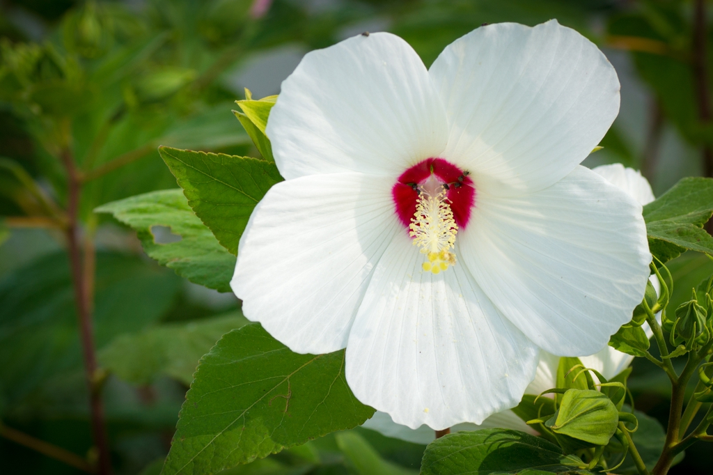
- Swamp RosemallowHibiscus moscheutos
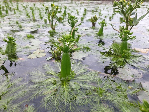
- American FeatherfoilHottonia inflata
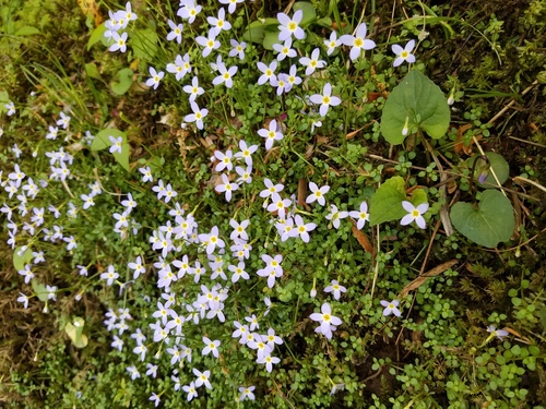
- Thymeleaf BluetHoustonia serpyllifolia
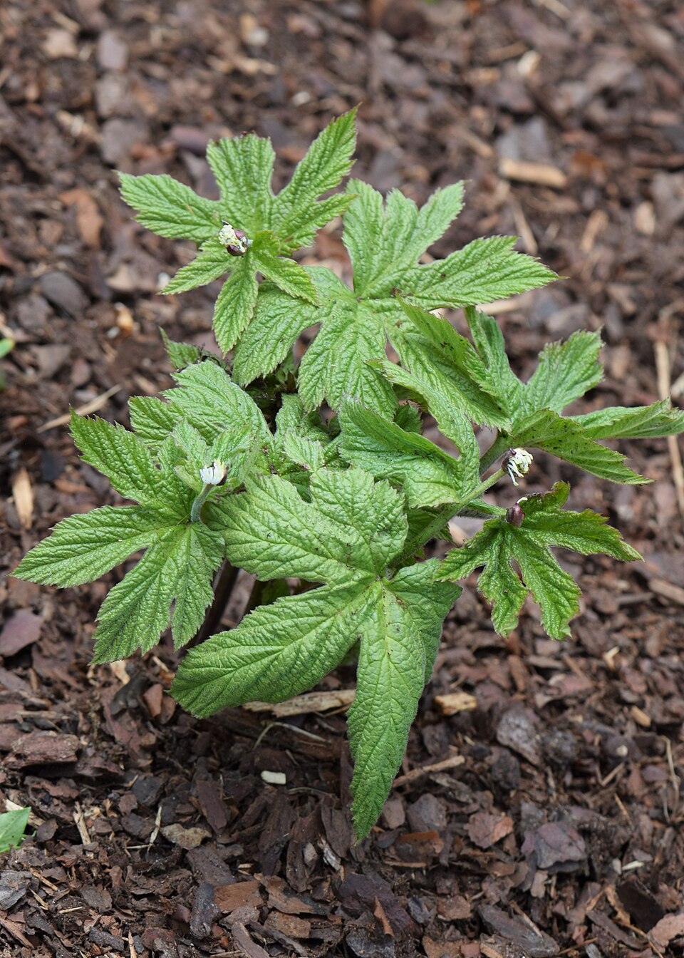
- GoldensealHydrastis canadensis
- Bluntleaf WaterleafHydrophyllum canadense
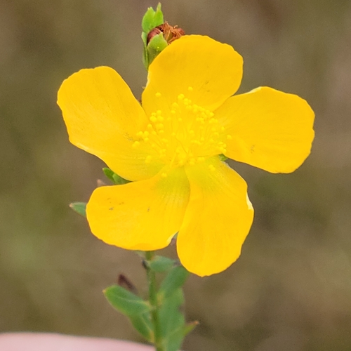
- Bushy St. John's-wortHypericum densiflorum
- Coppery St. John's-wortHypericum denticulatum
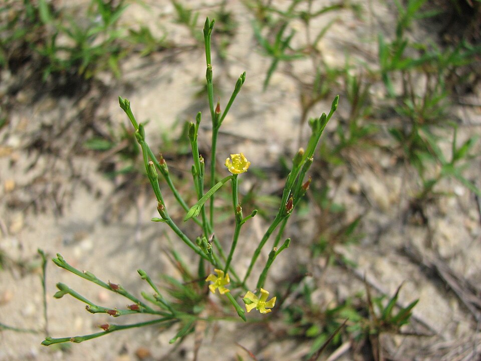
- PineweedHypericum gentianoides
- Blue Ridge St. John's-wortHypericum mitchellianum
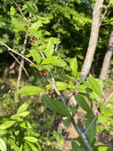
- Longstalk HollyIlex collina
- Possumhaw HollyIlex decidua
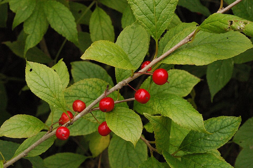
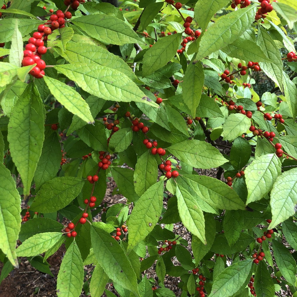
- Common WinterberryIlex verticillata
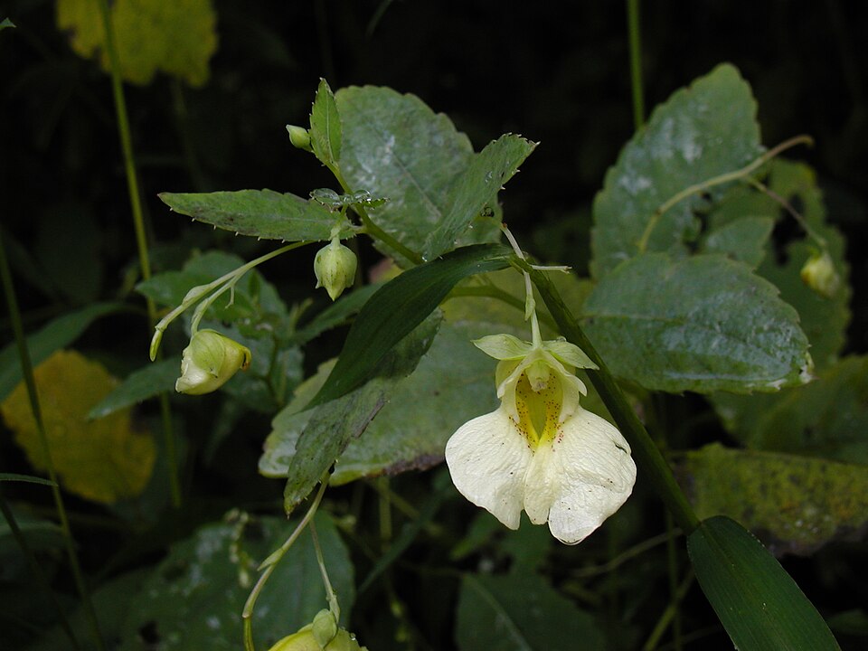
- Pale JewelweedImpatiens pallida
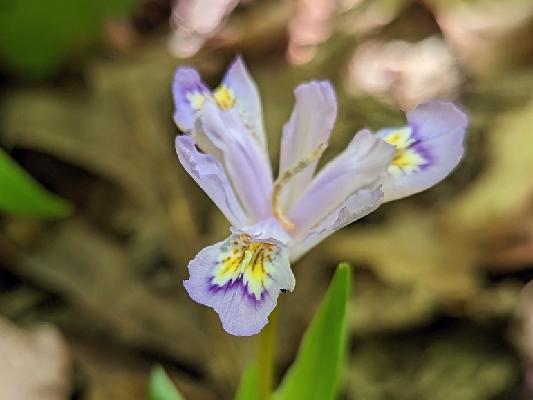
- Dwarf Crested IrisIris cristata
- Lake QuillwortIsoetes lacustris
- PipevineIsotrema macrophyllum
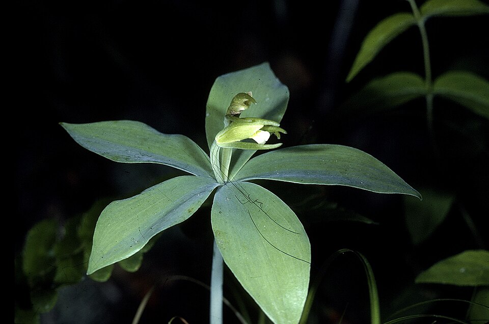
- Small Whorled PogoniaIsotria medeoloides
- ButternutJuglans cinerea
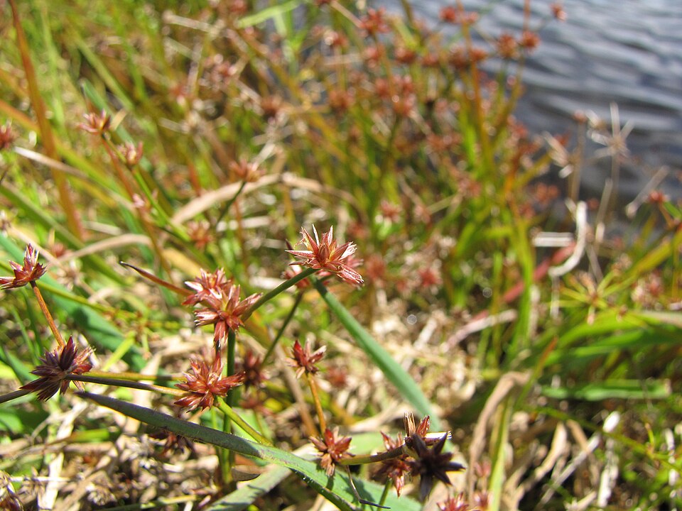
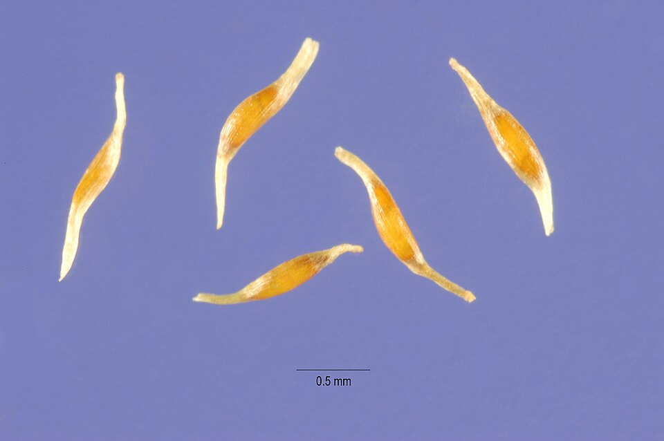
- Tapertip RushJuncus acuminatus
- Juncus brachycephalusJuncus brachycephalus
- New Jersey RushJuncus caesariensis
- Canadian RushJuncus canadensis
- Grassleaf RushJuncus marginatus
- Woodland RushJuncus subcaudatus
Wildlife 225
Other animals whose habitat models include the same habitats in Virginia. Not sighting records.
- Alder FlycatcherEmpidonax alnorum
- American CrowCorvus brachyrhynchos
- American GoldfinchCarduelis tristis
- American RobinTurdus migratorius
- Bank SwallowRiparia riparia
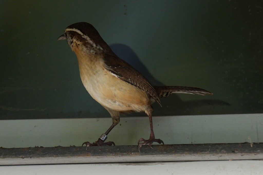
- Carolina WrenThryothorus ludovicianus
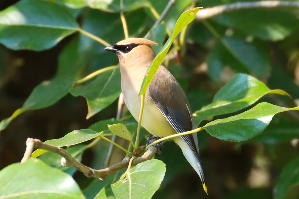
- Cedar WaxwingBombycilla cedrorum
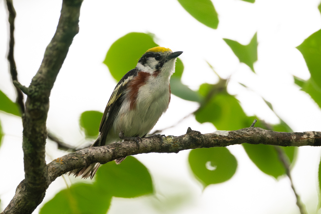
- Chestnut-sided WarblerDendroica pensylvanica
- Chimney SwiftChaetura pelagica
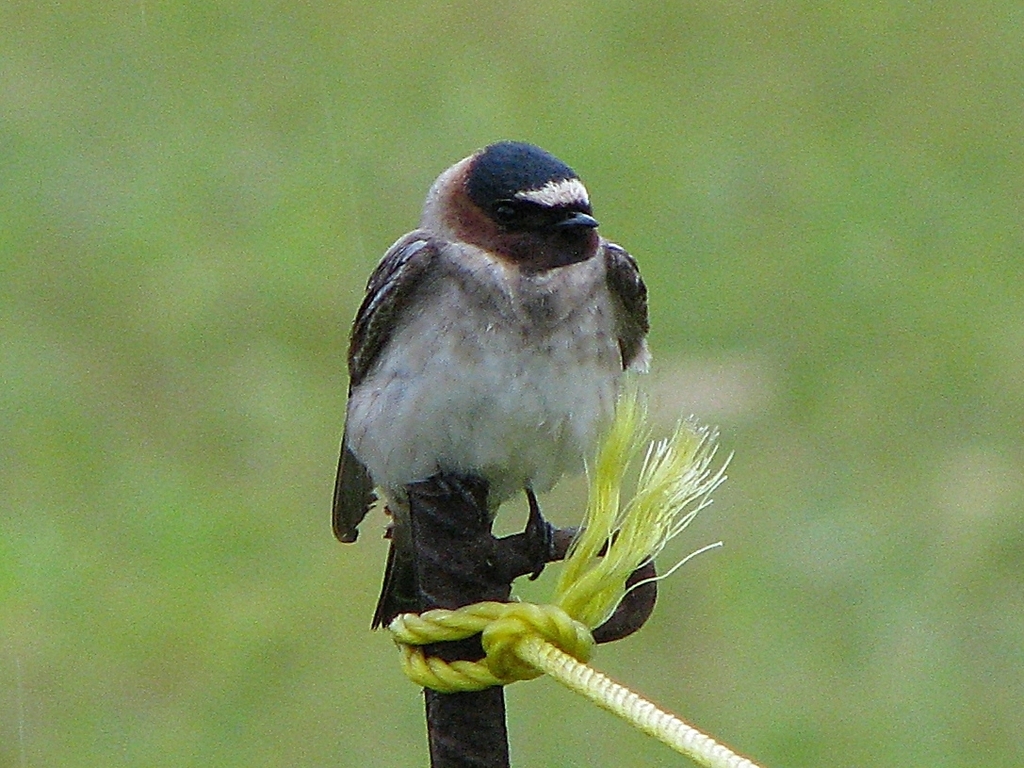
- Cliff SwallowPetrochelidon pyrrhonota
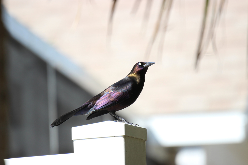
- Common GrackleQuiscalus quiscula
- Common NighthawkChordeiles minor
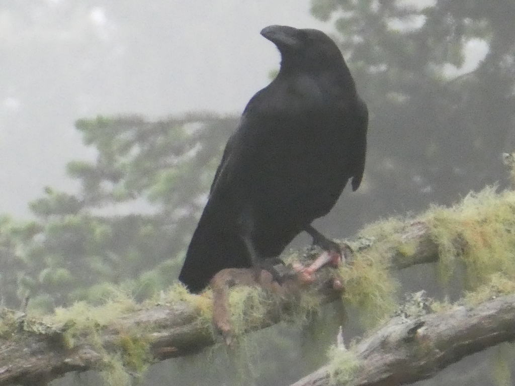
- Common RavenCorvus corax
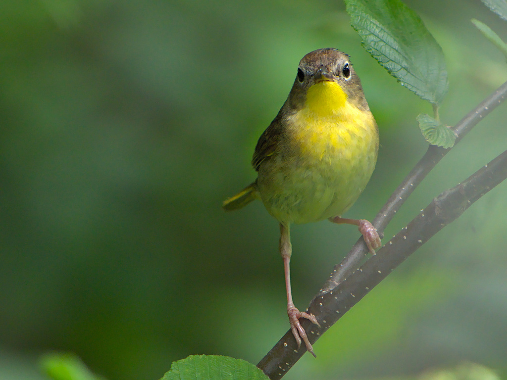
- Common YellowthroatGeothlypis trichas
- Cooper's HawkAccipiter cooperii
- Eastern KingbirdTyrannus tyrannus
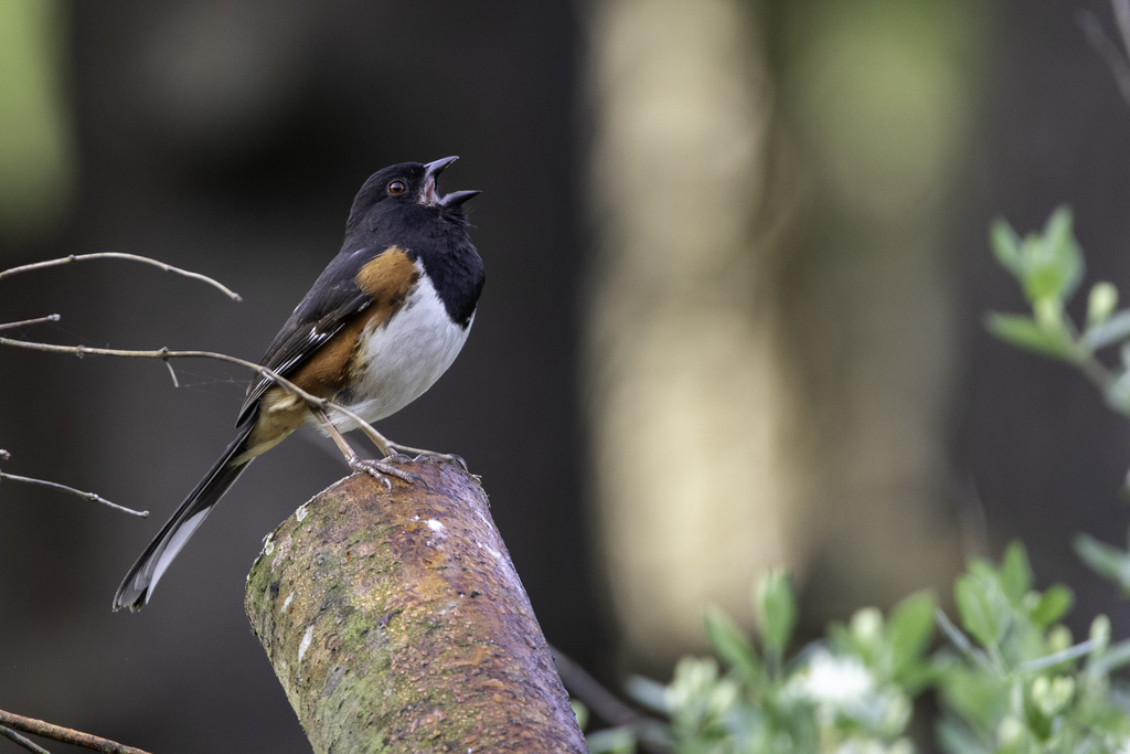
- Eastern TowheePipilo erythrophthalmus
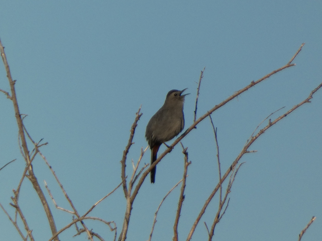
- Gray CatbirdDumetella carolinensis
- Great Crested FlycatcherMyiarchus crinitus
- Great Horned OwlBubo virginianus
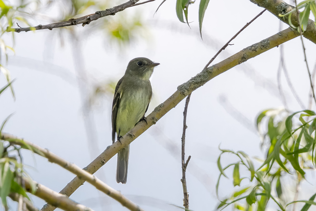
- Least FlycatcherEmpidonax minimus
- Magnolia WarblerDendroica magnolia
- Northern CardinalCardinalis cardinalis
- Olive-sided FlycatcherContopus cooperi








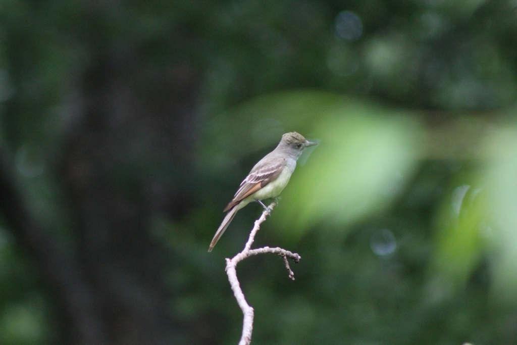

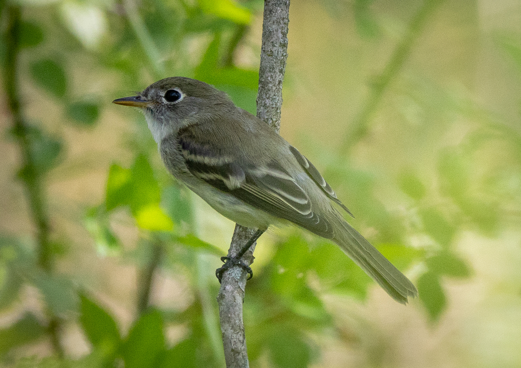
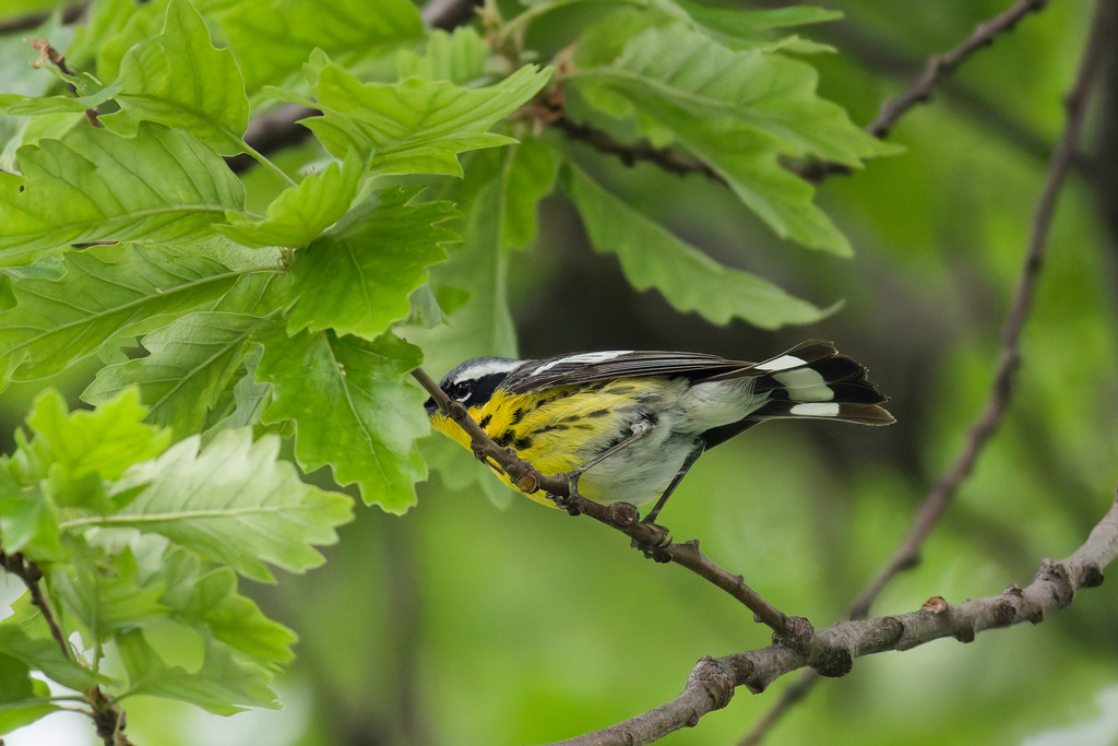
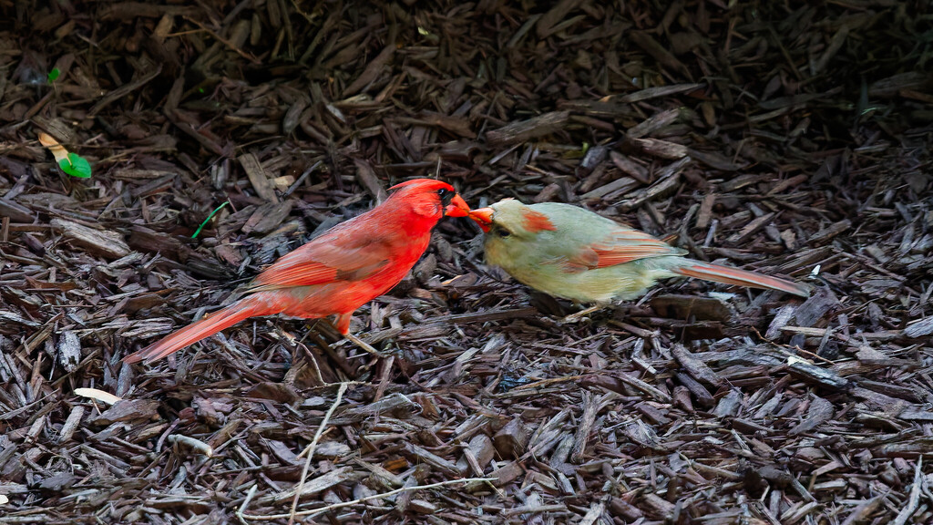
NatureServe Explorer, CC BY 4.0. USGS Gap Analysis Project habitat models.
Sources
- USGS Gap Analysis Project habitat models (2001)
- USGS GAP summer habitat model for Willow Flycatcher Elevation up to 850 m
- USGS Gap Analysis Project range maps (2001), modeled by watershed; migratory gives no dates
- NatureServe Explorer (CC BY 4.0), habitat names
- US Census TIGER/Line counties
- Names follow the USGS Gap Analysis Project (2001)