

Bird
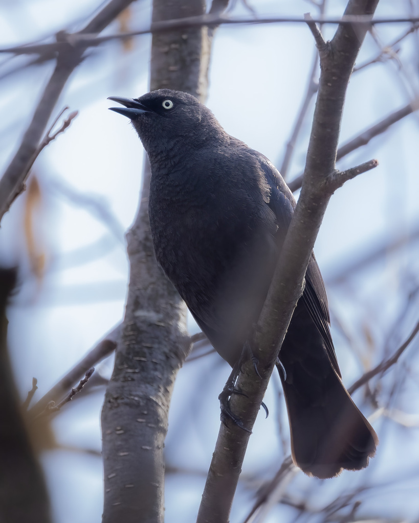
Rusty Blackbird
Euphagus carolinus
A winter visitor to Virginia, found in all 133 counties and cities and 19 habitats.
- Here
- Winter
- Nesting
- Not known to nest here
- Range
- All 133 counties and cities
- Habitats
- 19
At a glance
- Group
- Birds
- Here
- Winter
- Nesting
- Not known to nest here
- Range
- All 133 counties and cities
- Habitats
- 19
- Habitat models
- Winter
Where it lives
The places its habitat model includes. It is not found everywhere a habitat occurs.
Habitats in Virginia 19
Each habitat page lists the plants and wildlife also found there.
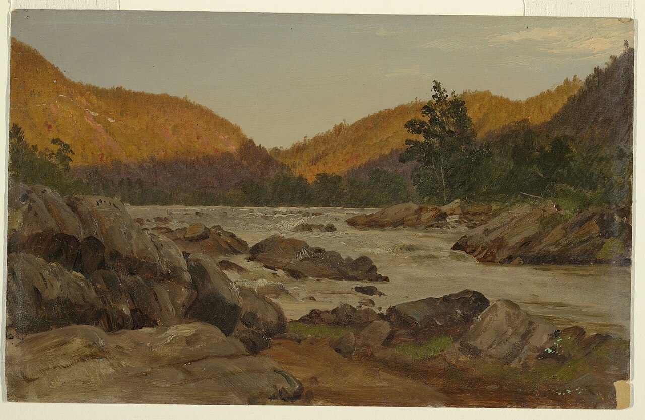
Streams, rivers and their banks
Open sand of beaches, dunes and the hollows between them.
Depression ponds and limesinks
Shallow ponds in Coastal Plain depressions, such as limesinks and the ponds in some Carolina bays, that rise and fall with the seasons.
Disturbed and introduced wetlands
Wet ground taken over by weedy or introduced plants after disturbance, such as common reed, Chinese tallow or tamarisk stands; the upland counterpart is roadsides, fields and disturbed ground.
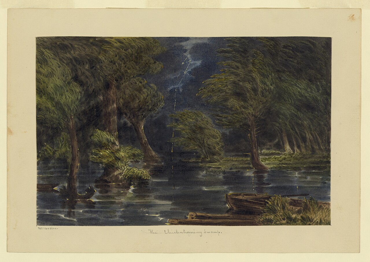
Floodplain and bottomland forests
Forests on low ground beside rivers and streams that flood from time to time.
Marshes along tidal rivers where the water is fresh but rises and falls with the tide.
Flat, poorly drained uplands and terraces with oaks, sweetgum and sometimes loblolly pine, wet in winter and dry in summer, but neither a floodplain nor a swamp.
Wet, open, peaty mountain wetlands fed by seepage, often with sphagnum moss.
Flat, sandy Coastal Plain pine woodlands, wetter than sandhills and denser than savannas.
Open, fire-kept longleaf pine stands over grasses and wildflowers on wet to moist sandy soil.
Dense evergreen shrub wetlands and bay forests on wet, acid peat of the Coastal Plain.
Still water and its edges: ponds, lakes, millponds and reservoirs.
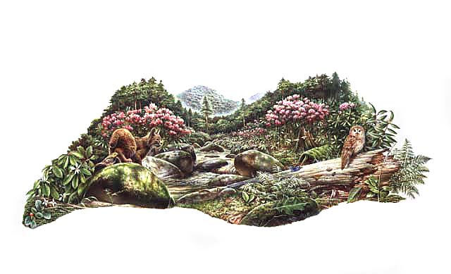
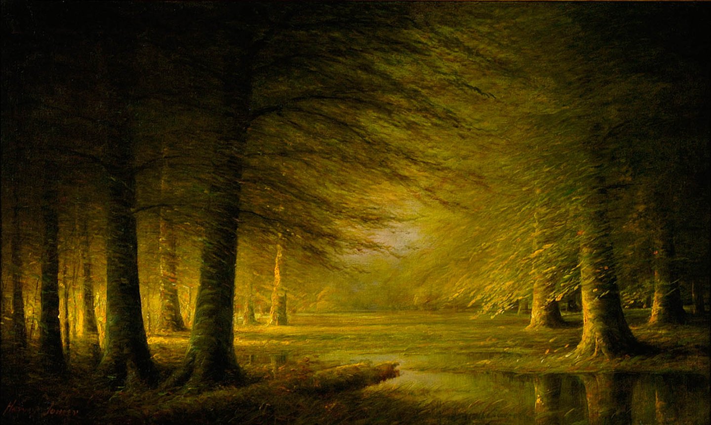
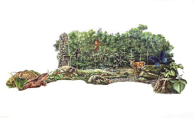
Roadsides, fields and disturbed ground
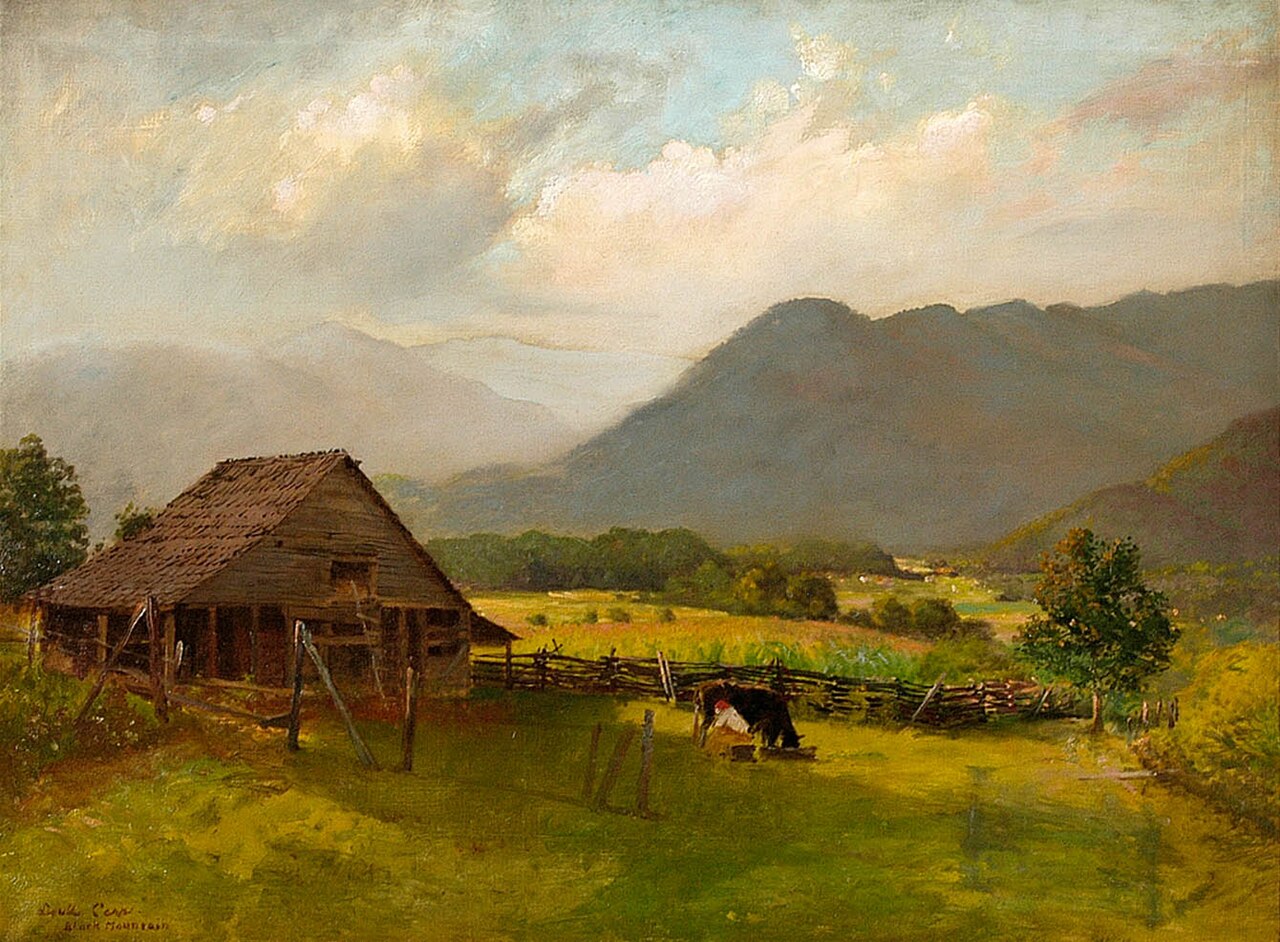
Salt-pruned forests and shrub thickets behind coastal dunes.
Treeless grassy or shrubby summits and ridges in the high mountains.
Other habitats in its models (48)
Land cover, or classes with no habitat page in Virginia. Those recorded in Virginia first, the rest by region.
Elsewhere in the South (28)
- Atlantic Coastal Plain Indian River Lagoon Tidal Marsh Winter.
- Atlantic Coastal Plain Small Blackwater River Floodplain Forest Winter.
- Atlantic Coastal Plain Southern Maritime Forest Winter, only within 120 m of water.
- Atlantic Coastal Plain Southern Wet Pine Savanna and Flatwoods Winter.
- Central and South Texas Coastal Fringe Forest and Woodland Winter, only within 120 m of water.
- East Gulf Coastal Plain Maritime Forest Winter, only within 120 m of water.
- East Gulf Coastal Plain Near-Coast Pine Flatwoods Winter, only within 120 m of water.
- East Gulf Coastal Plain Northern Mesic Hardwood Forest Winter, only within 120 m of water.
- East Gulf Coastal Plain Savanna and Wet Prairie Winter.
- East Gulf Coastal Plain Small Stream and River Floodplain Forest Winter.
- East Gulf Coastal Plain Southern Mesic Slope Forest Winter, only within 120 m of water.
- Floridian Highlands Freshwater Marsh Winter.
- Lower Mississippi River Dune Woodland and Forest Winter.
- Mississippi River Bottomland Depression Winter.
- Mississippi River Low Floodplain (Bottomland) Forest Winter.
- Mississippi River Riparian Forest Winter.
- Ozark-Ouachita Mesic Hardwood Forest Winter, only within 120 m of water.
- Ozark-Ouachita Riparian Winter.
- South-Central Interior / Upper Coastal Plain Wet Flatwoods Winter.
- Texas-Louisiana Coastal Prairie Winter, only within 120 m of water.
- West Gulf Coastal Plain Large River Floodplain Forest Winter.
- West Gulf Coastal Plain Mesic Hardwood Forest Winter, only within 120 m of water.
- West Gulf Coastal Plain Near-Coast Large River Swamp Winter.
- West Gulf Coastal Plain Nonriverine Wet Hardwood Flatwoods Winter.
- West Gulf Coastal Plain Northern Calcareous Prairie Winter, only within 120 m of water.
- West Gulf Coastal Plain Seepage Swamp and Baygall Winter.
- West Gulf Coastal Plain Small Stream and River Forest Winter.
- West Gulf Coastal Plain Wet Longleaf Pine Savanna and Flatwoods Winter.
Northeast (1)
- North-Central Interior Wet Flatwoods Winter.
Midwest (1)
- North-Central Interior Maple-Basswood Forest Winter, only within 120 m of water.
Land cover and other classes (18)
- Atlantic Coastal Plain Clay-Based Carolina Bay Forested Wetland Winter.
- Atlantic Coastal Plain Clay-Based Carolina Bay Herbaceous Wetland Winter.
- Central Interior and Appalachian Shrub-Herbaceous Wetland Systems Winter.
- East Gulf Coastal Plain Large River Floodplain Forest - Forest Modifier Winter.
- East Gulf Coastal Plain Large River Floodplain Forest - Herbaceous Modifier Winter.
- East Gulf Coastal Plain Near-Coast Pine Flatwoods - Offsite Hardwood Modifier Winter, only within 120 m of water.
- East Gulf Coastal Plain Near-Coast Pine Flatwoods - Open Understory Modifier Winter, only within 120 m of water.
- East Gulf Coastal Plain Near-Coast Pine Flatwoods - Scrub/Shrub Understory Modifier Winter, only within 120 m of water.
- East Gulf Coastal Plain Southern Depression Pondshore Winter.
- Eastern Great Plains Floodplain Systems Winter.
- Introduced Upland Vegetation - Annual Grassland Winter, only within 120 m of water.
- Introduced Upland Vegetation - Perennial Grassland and Forbland Winter, only within 120 m of water.
- Lower Mississippi River Bottomland Depressions - Forest Modifier Winter.
- Mississippi River Floodplain and Riparian Forest Winter.
- South-Central Interior Large Floodplain - Herbaceous Modifier Winter.
- Texas-Louisiana Coastal Prairie Slough Winter.
- Unconsolidated Shore Winter.
- Unconsolidated Shore (Lake/River/Pond) Winter.
Seasons in Virginia
- Winter: does not nest here, in all 133 counties and cities.
Also found in this habitat
Plants 870
Plants named in NatureServe descriptions of these habitats that grow in Virginia. Shared habitat, not food.
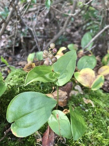
- Canada MayflowerMaianthemum canadense
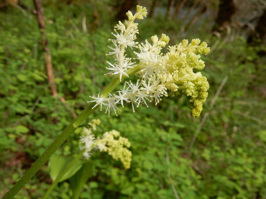
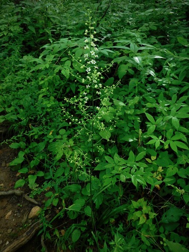
- False Solomon's-sealMaianthemum racemosum
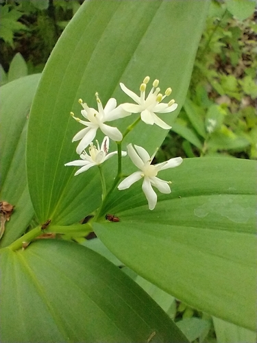
- Starry Solomons PumeMaianthemum stellatum
- Slender BunchflowerMelanthium hybridum
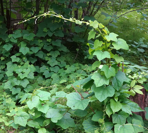
- Canada MoonseedMenispermum canadense
- Sweet PinesapMonotropsis odorata
- Red MulberryMorus rubra
- Cutleaf Water-milfoilMyriophyllum pinnatum
- Roan Mountain Rattlesnake-rootNabalus roanensis
- Kidneyleaf TwaybladeNeottia smallii
- Hairy Sweet-cicelyOsmorhiza claytonii
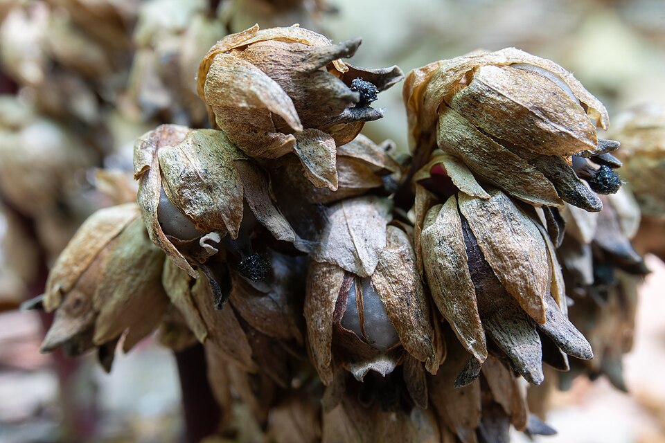
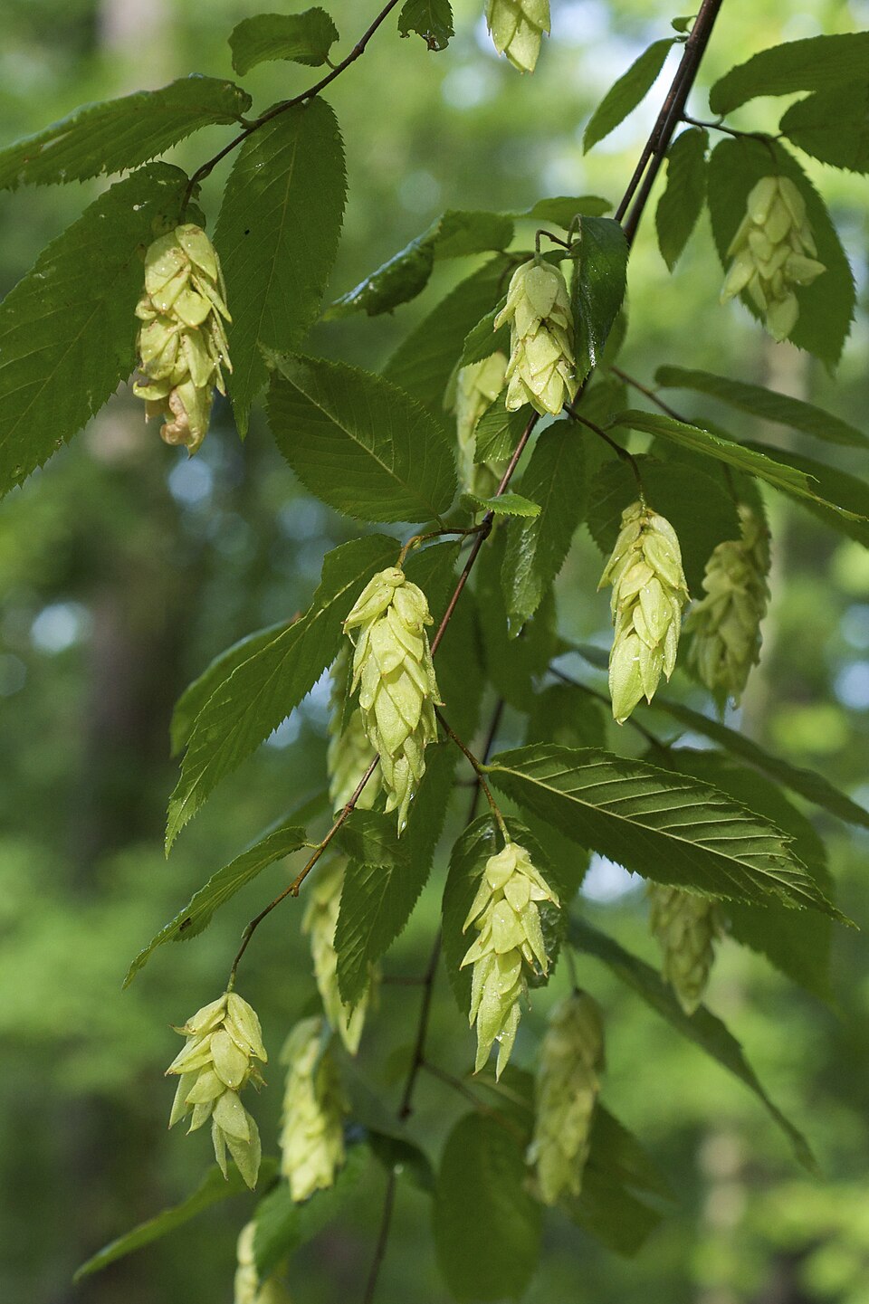
- American Hop-hornbeamOstrya virginiana
- Savanna CowbaneOxypolis ternata
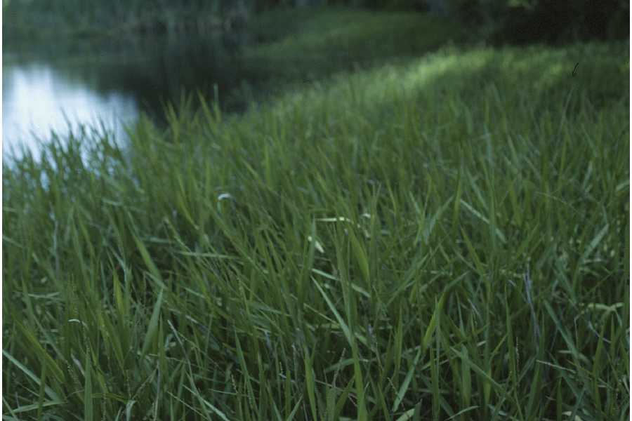
- MaidencanePanicum hemitomon
- Kidneyleaf Grass-of-ParnassusParnassia asarifolia
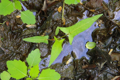
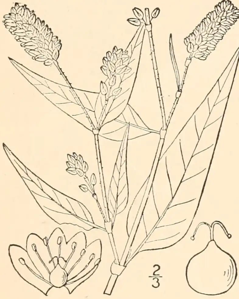
- Halberd-leaf TearthumbPersicaria arifolia
- Pennsylvania SmartweedPersicaria pensylvanica
- Reed Canary-grassPhalaris arundinacea
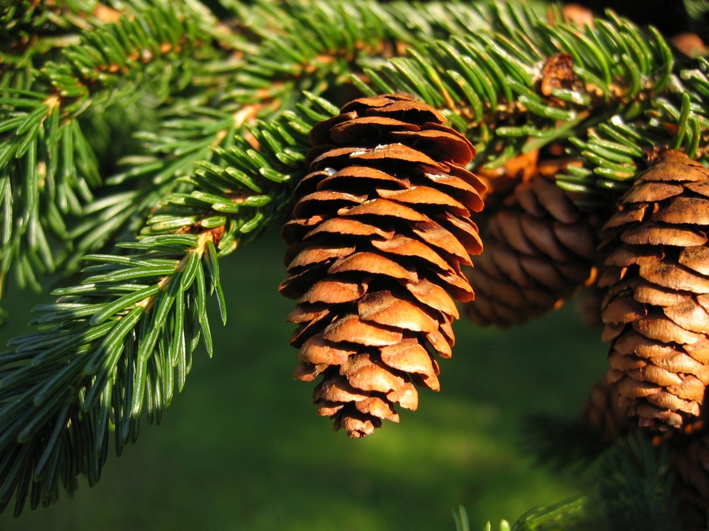
- Red SprucePicea rubens
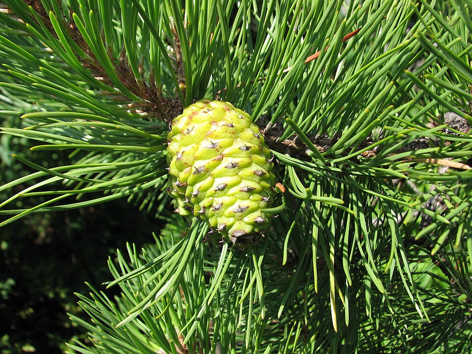
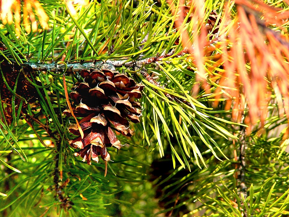
- Pitch PinePinus rigida
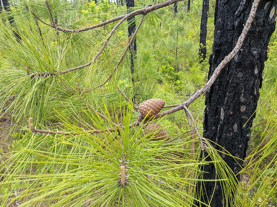
- Pond PinePinus serotina
- Virginia PinePinus virginiana
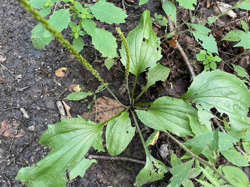
- Blackseed PlantainPlantago rugelii
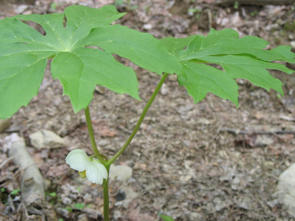
- MayapplePodophyllum peltatum
Wildlife 262
Other animals whose habitat models include the same habitats in Virginia. Not sighting records.
- American CrowCorvus brachyrhynchos
- Common NighthawkChordeiles minor
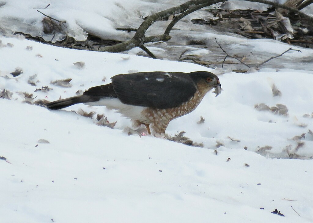
- Cooper's HawkAccipiter cooperii
- Eastern KingbirdTyrannus tyrannus
- Great Horned OwlBubo virginianus
- Sharp-shinned HawkAccipiter striatus
- Spotted SandpiperActitis macularius
- Turkey VultureCathartes aura
- Yellow-breasted ChatIcteria virens
- American GoldfinchCarduelis tristis
- Common YellowthroatGeothlypis trichas
- Northern CardinalCardinalis cardinalis
- Red-tailed HawkButeo jamaicensis
- American RobinTurdus migratorius
- Chimney SwiftChaetura pelagica
- Common GrackleQuiscalus quiscula
- Red-winged BlackbirdAgelaius phoeniceus
- Yellow-rumped WarblerDendroica coronata
- American KestrelFalco sparverius
- European StarlingSturnus vulgaris
- Great Crested FlycatcherMyiarchus crinitus
- Northern FlickerColaptes auratus
- Northern MockingbirdMimus polyglottos
- Red-shouldered HawkButeo lineatus





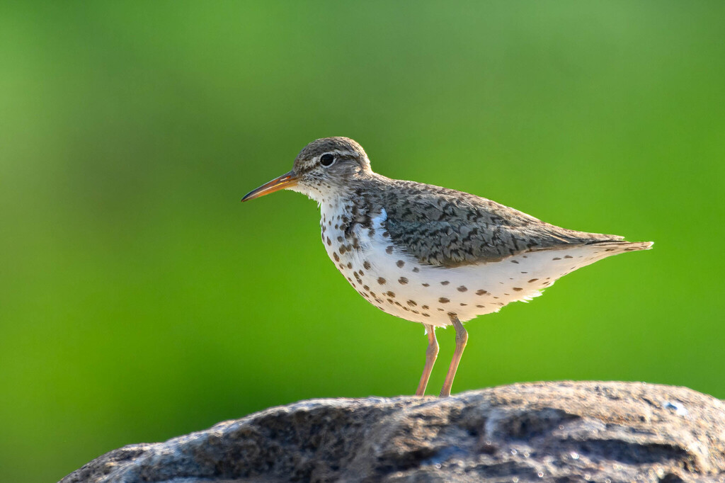
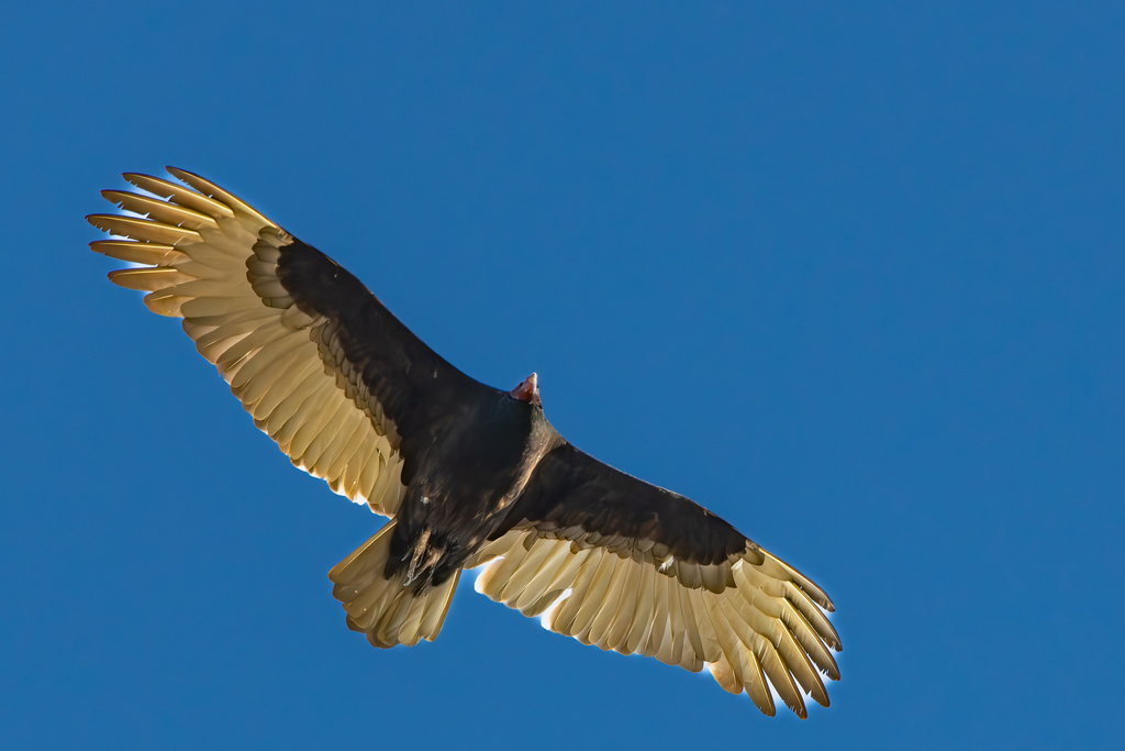
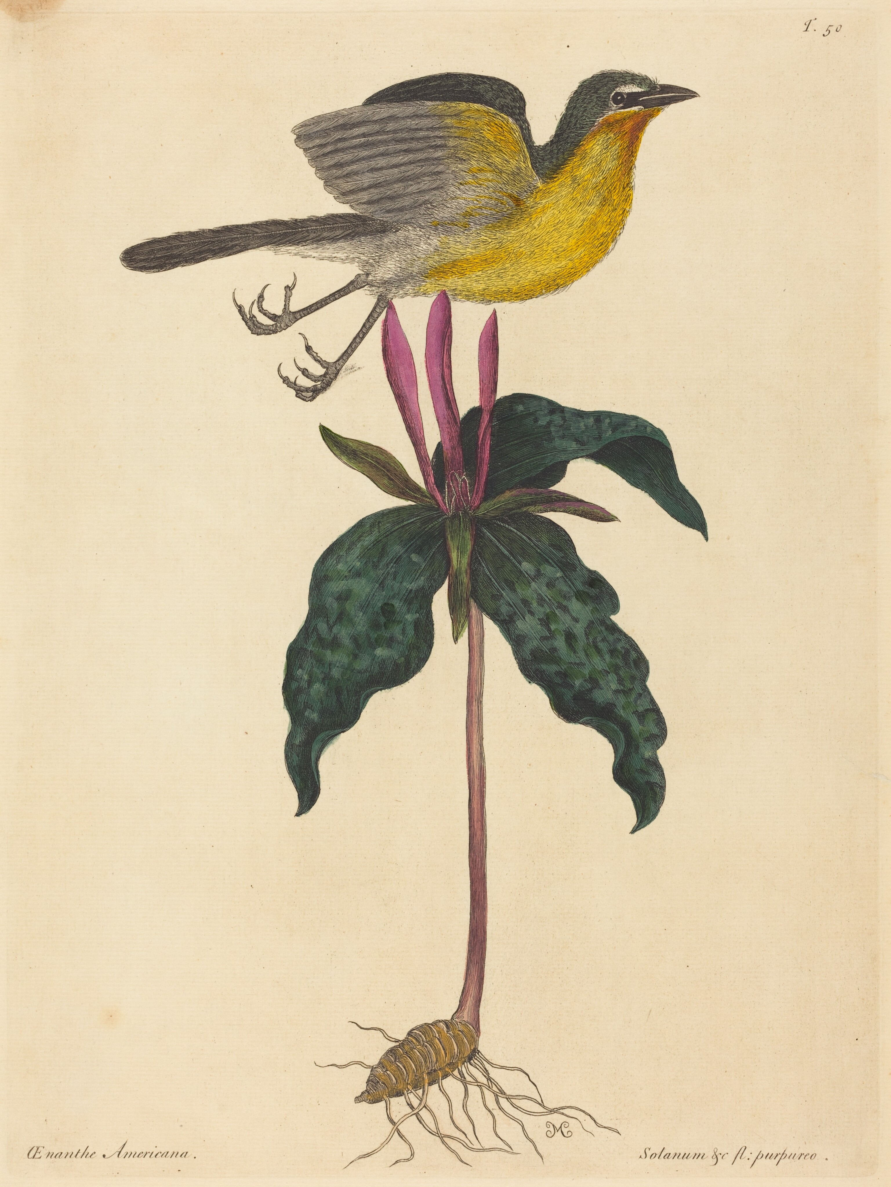

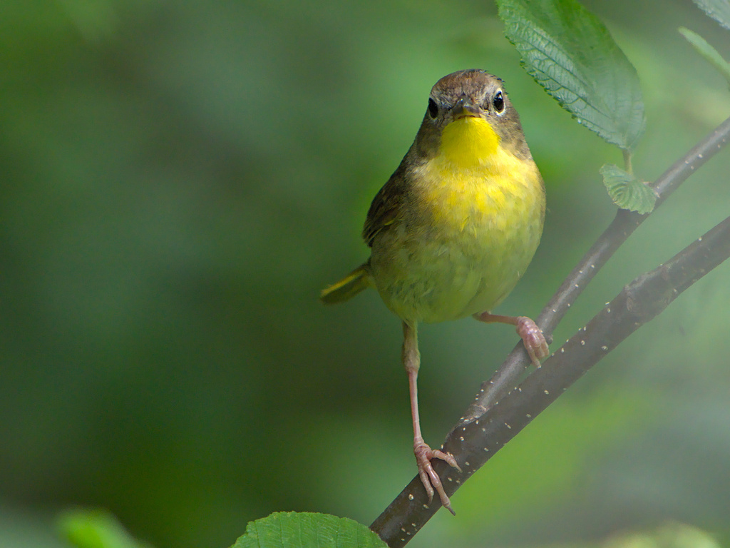
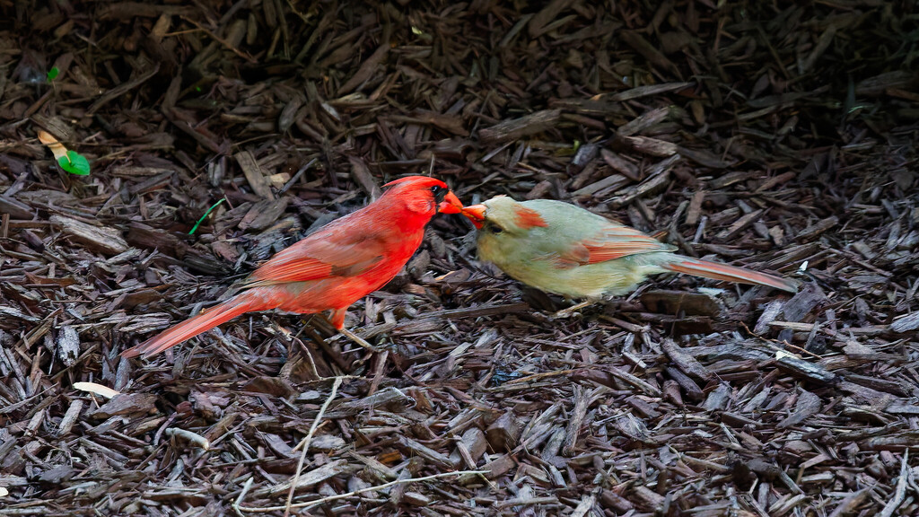
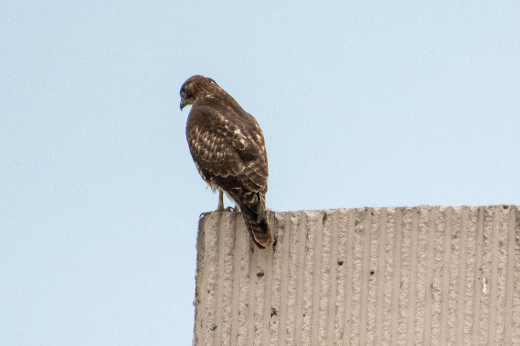


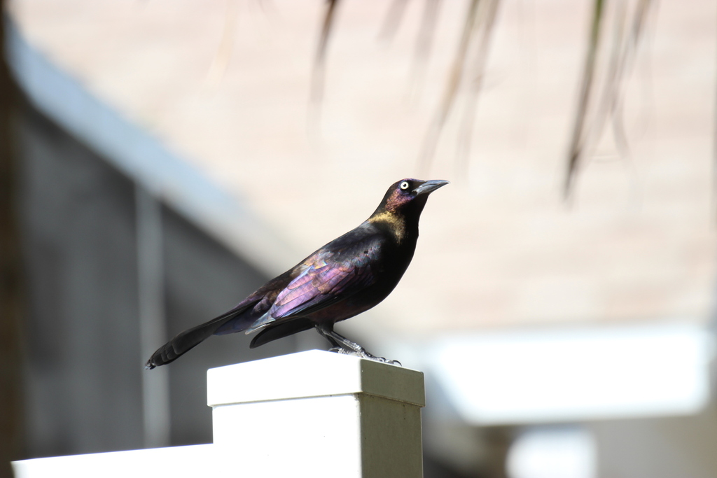
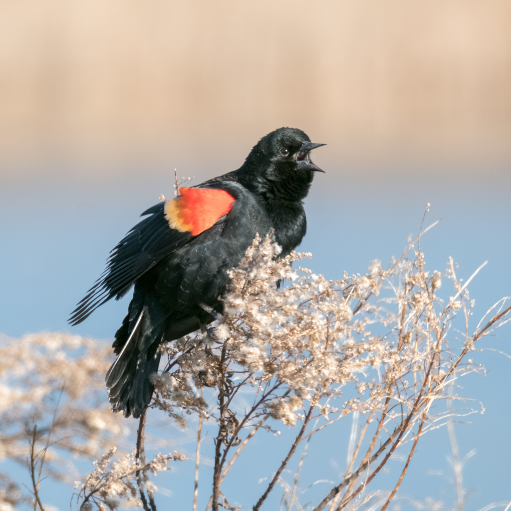
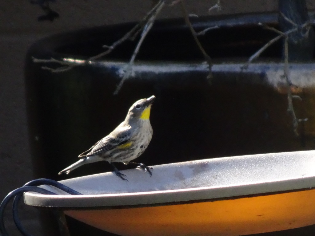
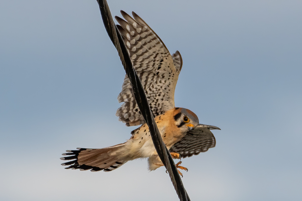
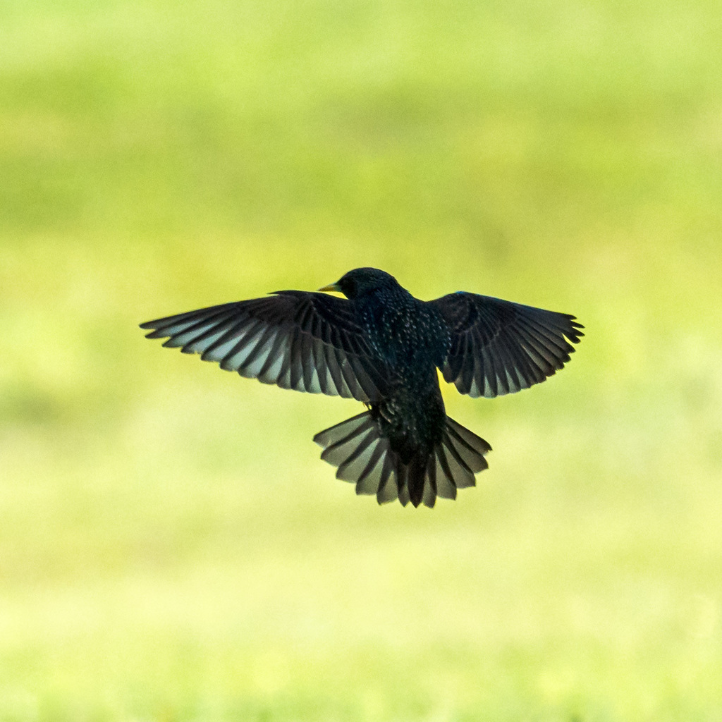
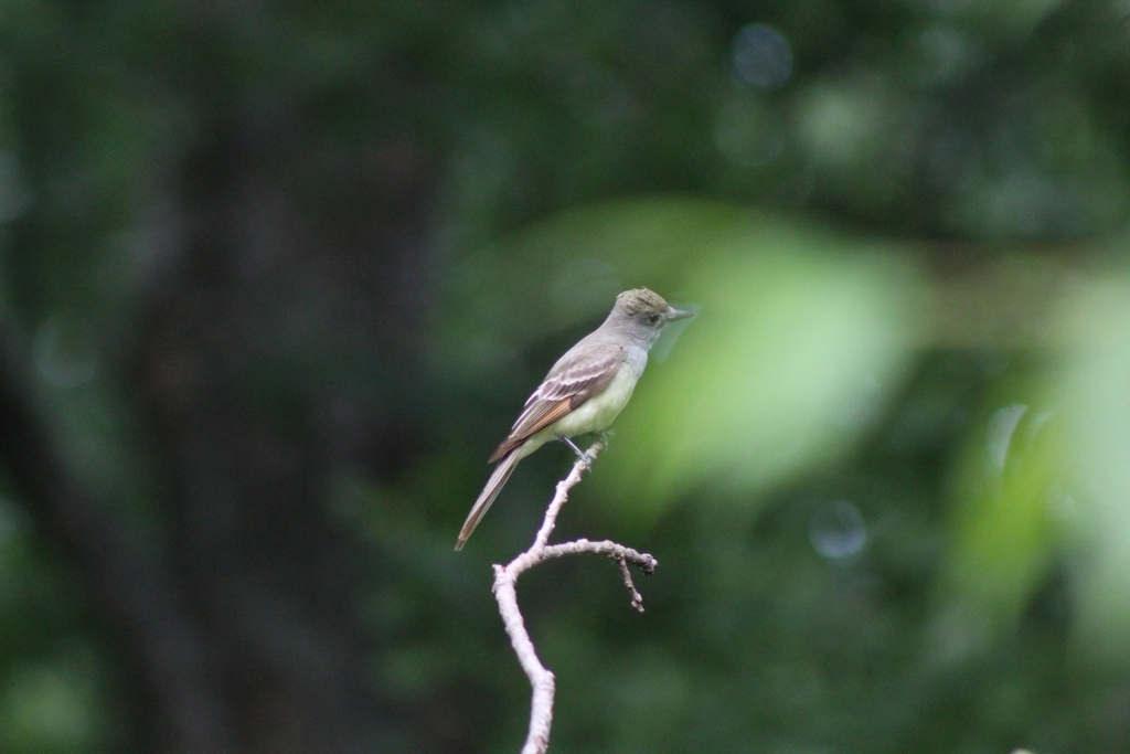
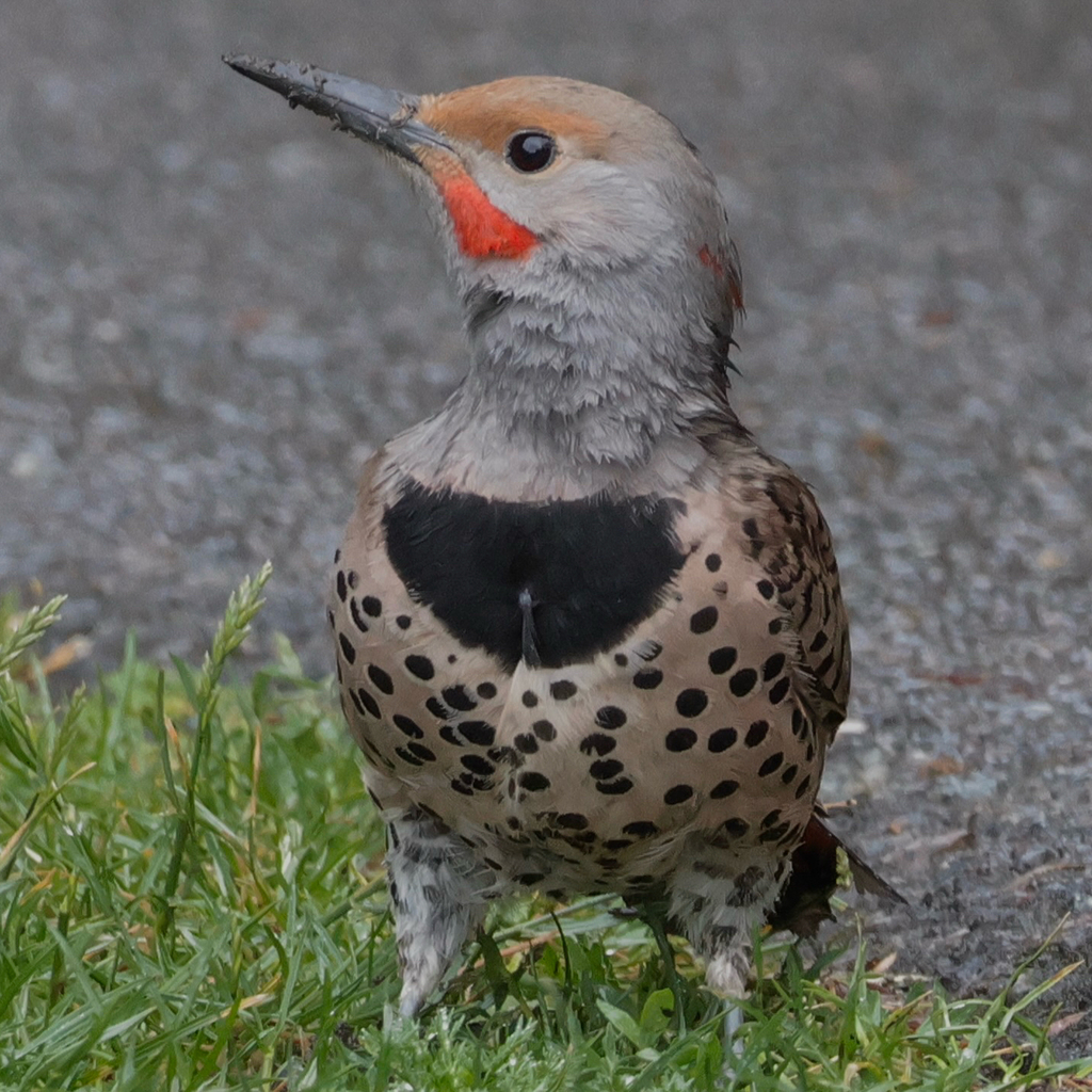
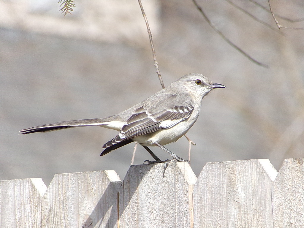
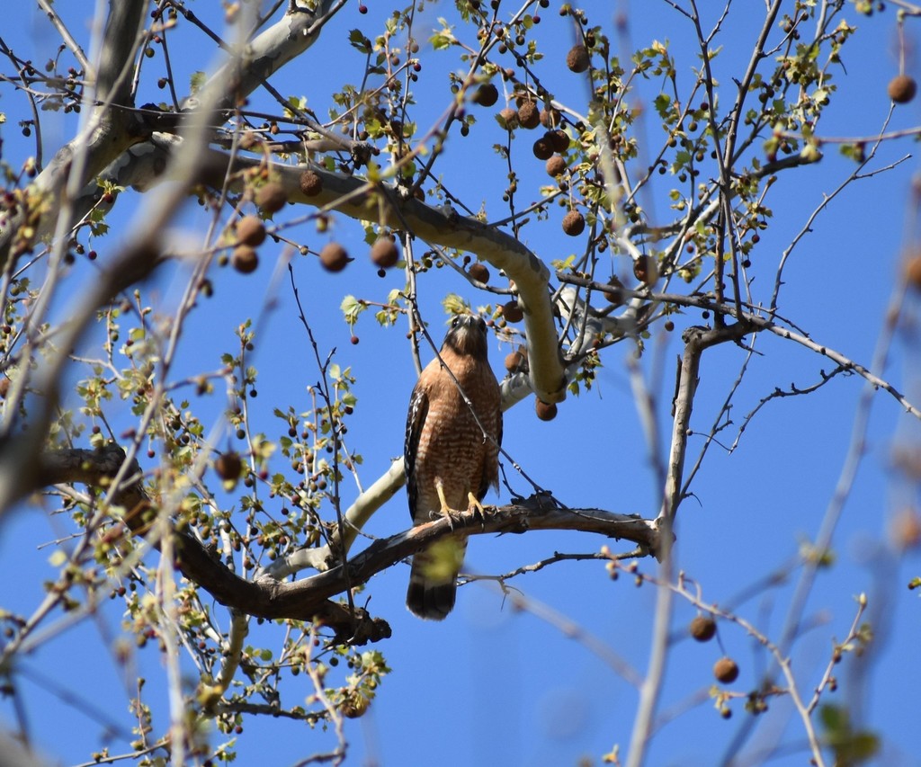


NatureServe Explorer, CC BY 4.0. USGS Gap Analysis Project habitat models.
Sources
- USGS Gap Analysis Project habitat models (2001)
- USGS GAP winter habitat model for Rusty Blackbird Fresh water only
- USGS Gap Analysis Project range maps (2001), modeled by watershed; migratory gives no dates
- NatureServe Explorer (CC BY 4.0), habitat names
- US Census TIGER/Line counties
- Names follow the USGS Gap Analysis Project (2001)