

Bird
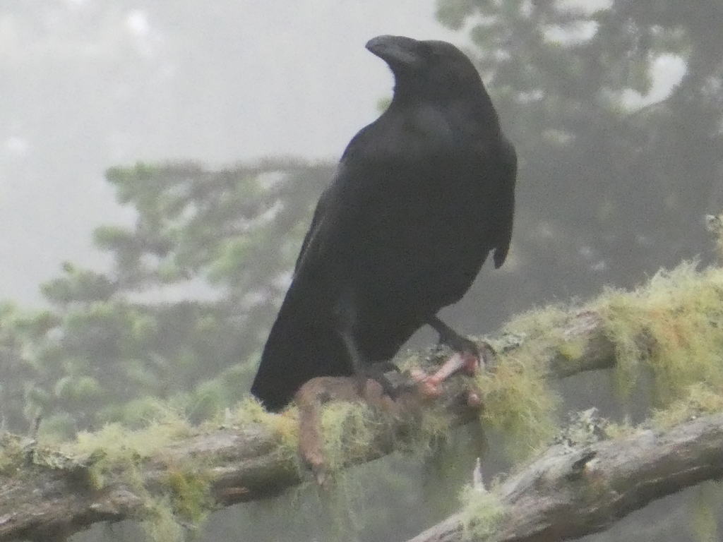
Common Raven
Corvus corax
Lives in Virginia all year and nests here. Found in 58 of 133 counties and cities, across 21 habitats.
- Here
- All year
- Nesting
- Nests here
- Range
- 58 of 133 counties and cities
- Habitats
- 21
At a glance
- Group
- Birds
- Here
- All year
- Nesting
- Nests here
- Range
- 58 of 133 counties and cities
- Habitats
- 21
- Habitat models
- Year-round
Where it lives
The places its habitat model includes. It is not found everywhere a habitat occurs.
Habitats in Virginia 21
Each habitat page lists the plants and wildlife also found there.
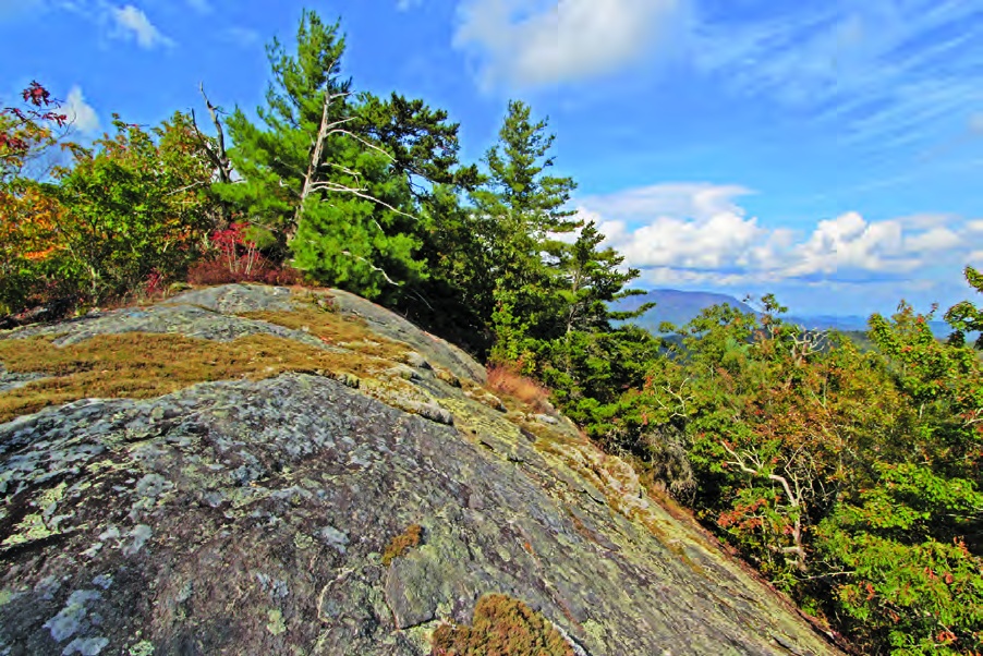
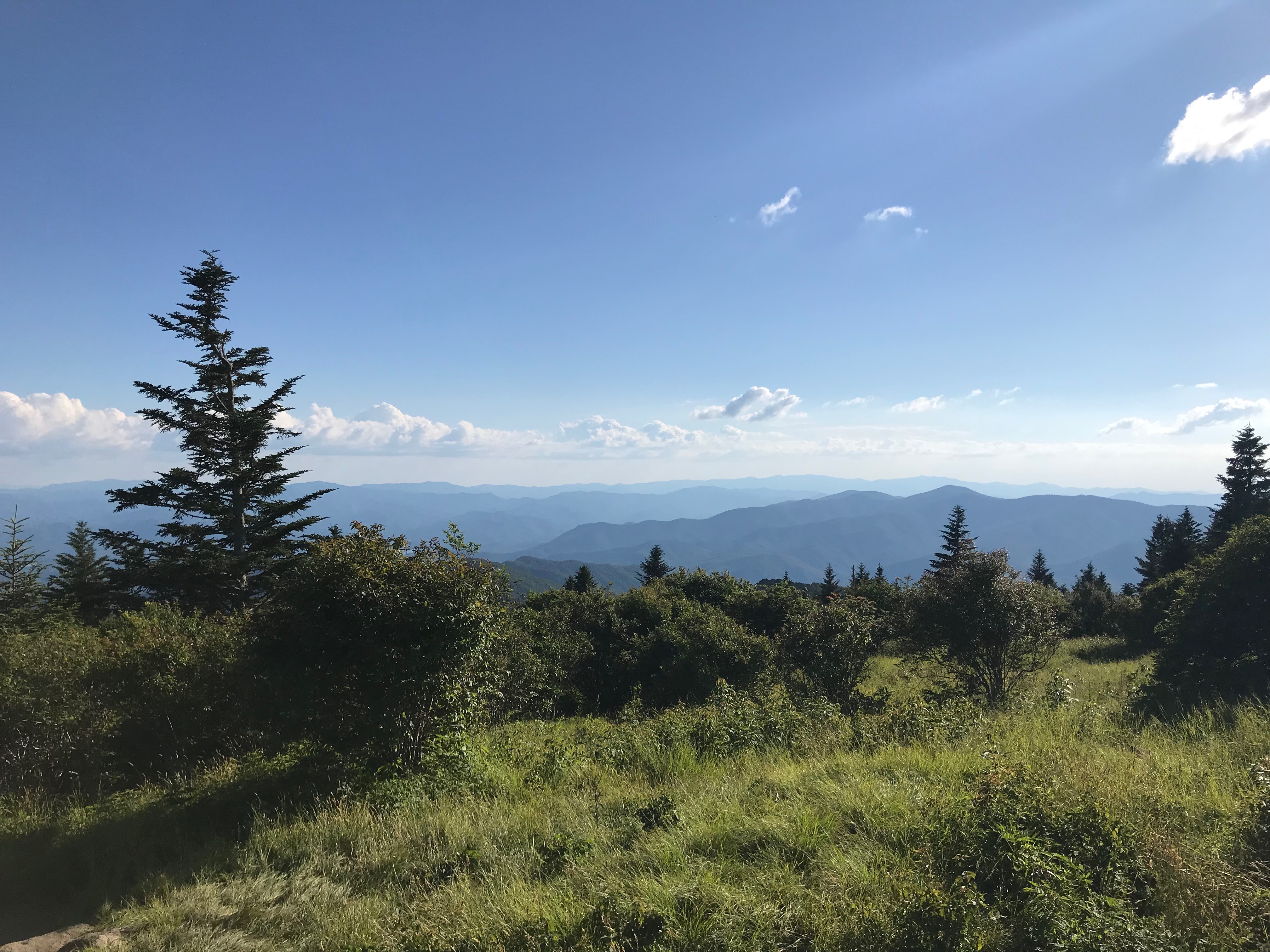
Cliffs, ledges and rocky summits
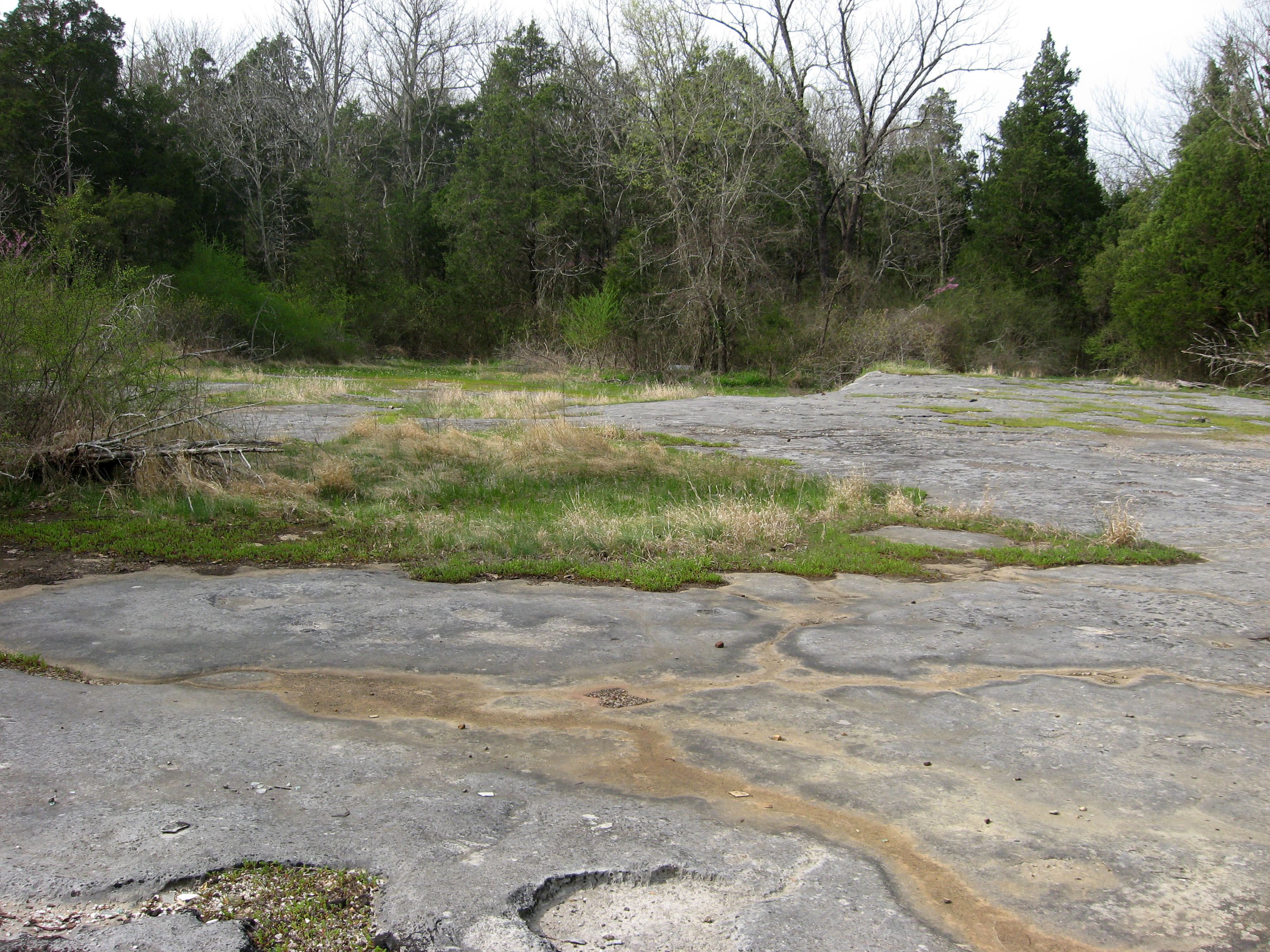
Glades, barrens and outcrops on limestone
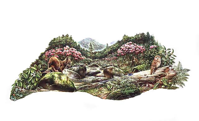
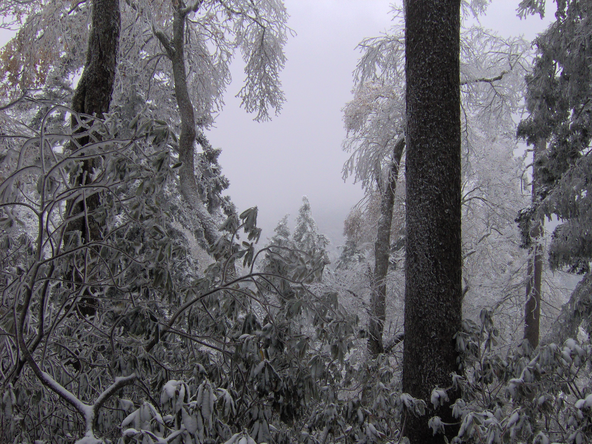
Streams, rivers and their banks
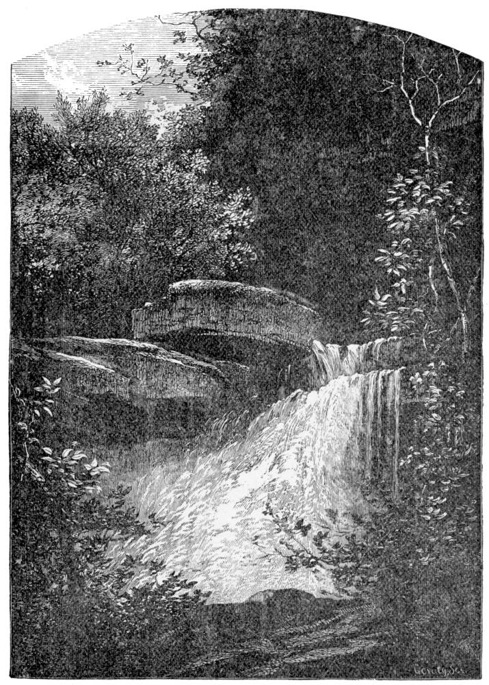
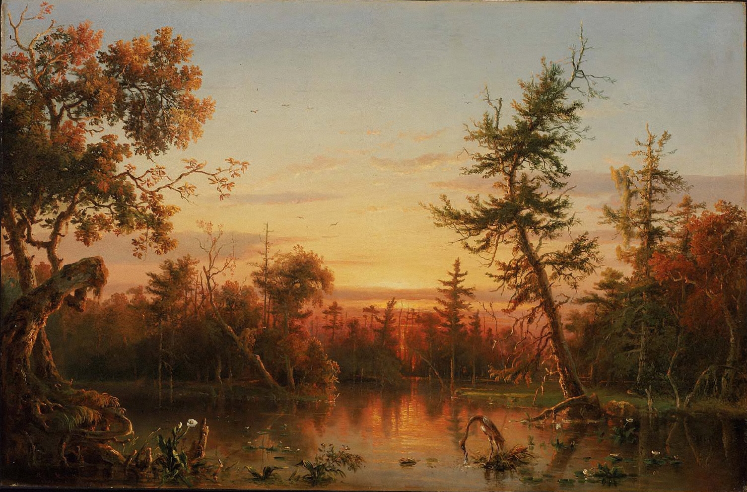
Disturbed and introduced wetlands
Wet ground taken over by weedy or introduced plants after disturbance, such as common reed, Chinese tallow or tamarisk stands; the upland counterpart is roadsides, fields and disturbed ground.
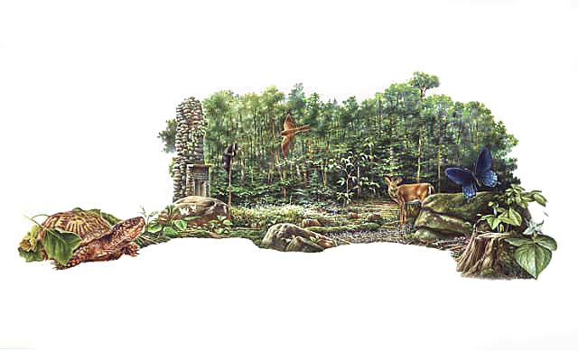
Forests and open woodlands on dry ridges and slopes, often oak or pine.
Floodplain and bottomland forests
Forests on low ground beside rivers and streams that flood from time to time.
Granite and other acidic rock outcrops
Bare or thin-soil rock on granite, gneiss, sandstone, quartzite and similar acidic rock, including granite flatrocks and domes.
Forests between dry and moist, often oak-hickory on slopes.
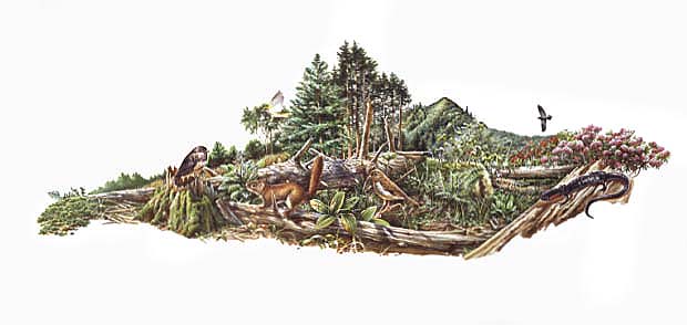
Wet, open, peaty mountain wetlands fed by seepage, often with sphagnum moss.
Roadsides, fields and disturbed ground
Ground opened by people: roadsides, old fields, pastures, fencerows and lots.
Steep, sun-baked slopes of loose shale with sparse oaks and Virginia pine and their own endemic wildflowers. Linked only where the source names shale barrens; calcareous shale stays with the limestone glades.
Tree plantations and managed pine
Planted or intensively managed stands of pine or hardwoods grown for timber; a land use rather than a natural community.
Other habitats in its models (69)
Land cover, or classes with no habitat page in Virginia.
- Developed, Low Intensity Year-round.
- Developed, Medium Intensity Year-round.
- Developed, High Intensity Year-round.
- Quarries, Mines, Gravel Pits and Oil Wells Year-round.
- Barren Land Year-round.
- Unconsolidated Shore (Lake/River/Pond) Year-round.
- Unconsolidated Shore Year-round.
- Central Interior Calcareous Cliff and Talus Year-round.
- Central Interior Acidic Cliff and Talus Year-round.
- North-Central Appalachian Circumneutral Cliff and Talus Year-round.
- Southern Interior Acid Cliff Year-round.
- Southern Appalachian Rocky Summit Year-round.
- Southern Appalachian Granitic Dome Year-round.
- Northeastern Interior Dry Oak Forest-Hardwood Modifier Year-round.
- Northeastern Interior Dry Oak Forest - Mixed Modifier Year-round.
- Southern Interior Low Plateau Dry-Mesic Oak Forest Year-round.
- Crosstimbers Oak Forest and Woodland Year-round.
- North-Central Interior Dry-Mesic Oak Forest and Woodland Year-round.
- North-Central Interior Dry Oak Forest and Woodland Year-round.
- North-Central Interior Beech-Maple Forest Year-round.
- North-Central Interior Maple-Basswood Forest Year-round.
- Southern Coastal Plain Dry Upland Hardwood Forest Year-round.
- East-Central Texas Plains Post Oak Savanna and Woodland Year-round.
- East-Central Texas Plains Riparian Forest Year-round.
- Southern Coastal Plain Oak Dome and Hammock Year-round.
- Edwards Plateau Limestone Savanna and Woodland Year-round.
- Northeastern Interior Dry Oak Forest - Virginia/Pitch Pine Modifier Year-round.
- Southern Piedmont Dry Oak-(Pine) Forest - Loblolly Pine Modifier Year-round.
- Allegheny-Cumberland Dry Oak Forest and Woodland - Pine Modifier Year-round.
- Southern Ridge and Valley Dry Calcareous Forest - Pine modifier Year-round.
- Southern Piedmont Dry Oak-(Pine) Forest - Mixed Modifier Year-round.
- Southern Piedmont Dry Oak-Heath Forest - Mixed Modifier Year-round.
- Southeastern Interior Longleaf Pine Woodland Year-round.
- Central Interior Highlands Dry Acidic Glade and Barrens Year-round.
- Acadian Low-Elevation Spruce-Fir-Hardwood Forest Year-round.
- Northeastern Interior Pine Barrens Year-round.
- East-Central Texas Plains Pine Forest and Woodland Year-round.
- Tamaulipan Mixed Deciduous Thornscrub Year-round.
- Tamaulipan Mesquite Upland Scrub Year-round.
- Tamaulipan Calcareous Thornscrub Year-round.
- North-Central Interior Oak Savanna Year-round.
- North-Central Oak Barrens Year-round.
- Southern Piedmont Glade and Barrens Year-round.
- Nashville Basin Limestone Glade Year-round.
- Central Appalachian Alkaline Glade and Woodland Year-round.
- Central Interior Highlands Calcareous Glade and Barrens Year-round.
- Central Mixedgrass Prairie Year-round.
- North-Central Interior Sand and Gravel Tallgrass Prairie Year-round.
- Arkansas Valley Prairie and Woodland Year-round.
- Central Tallgrass Prairie Year-round.
- Southern Blackland Tallgrass Prairie Year-round.
- Southeastern Great Plains Tallgrass Prairie Year-round.
- Harvested Forest - Grass/Forb Regeneration Year-round.
- Recently Burned Grassland Year-round.
- Recently Burned Shrubland Year-round.
- Introduced Upland Vegetation - Treed Year-round.
- Introduced Upland Vegetation - Forbland Year-round.
- Introduced Upland Vegetation - Annual Grassland Year-round.
- Introduced Upland Vegetation - Perennial Grassland Year-round.
- Modified/Managed Southern Tall Grassland Year-round.
- Central Interior and Appalachian Shrub-Herbaceous Wetland Systems Year-round.
- Southern Coastal Plain Herbaceous Seepage Bog Year-round.
- Eastern Great Plains Wet Meadow, Prairie, and Marsh Year-round.
- Eastern Great Plains Floodplain Systems Year-round.
- Tamaulipan Riparian Systems Year-round.
- Cumberland Riverscour Year-round.
- Red River Large Floodplain Forest Year-round.
- South-Central Interior / Upper Coastal Plain Wet Flatwoods Year-round.
- North-Central Interior Wet Flatwoods Year-round.
Seasons in Virginia
- Year-round: nests here, in 58 of 133 counties and cities.
Also found in this habitat
Plants 1048
Plants named in NatureServe descriptions of these habitats that grow in Virginia. Shared habitat, not food.
- Mountain HeartleafHexastylis contracta
- Smooth HydrangeaHydrangea arborescens
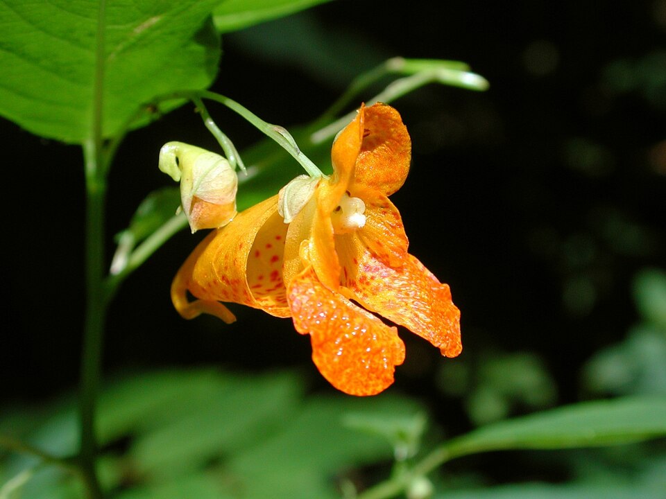
- Spotted JewelweedImpatiens capensis
- ButternutJuglans cinerea
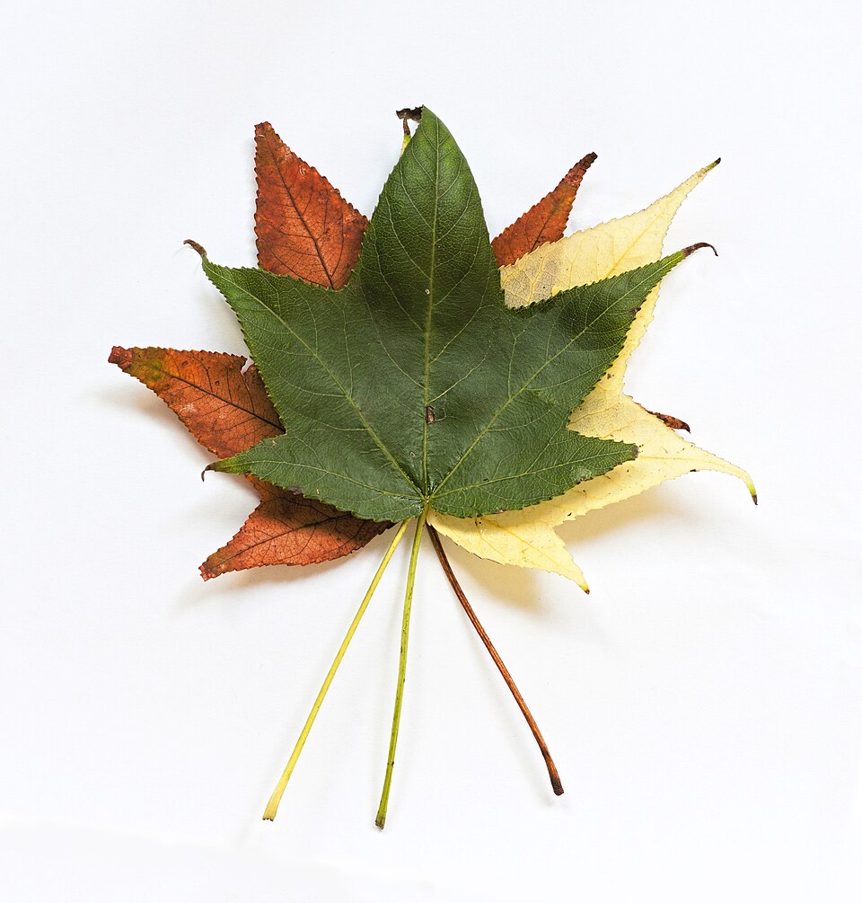
- SweetgumLiquidambar styraciflua
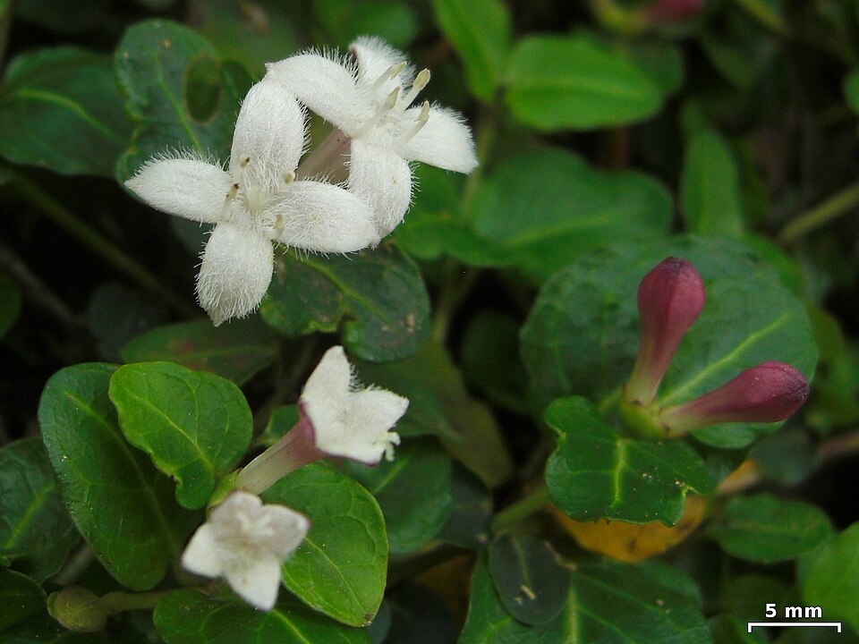
- Partridge-berryMitchella repens
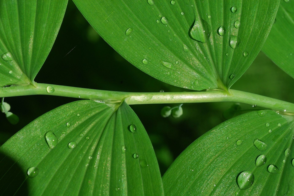
- Smooth Solomon's-sealPolygonatum biflorum
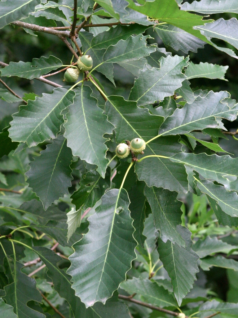
- Chinquapin OakQuercus muehlenbergii
- MinniebushRhododendron pilosum
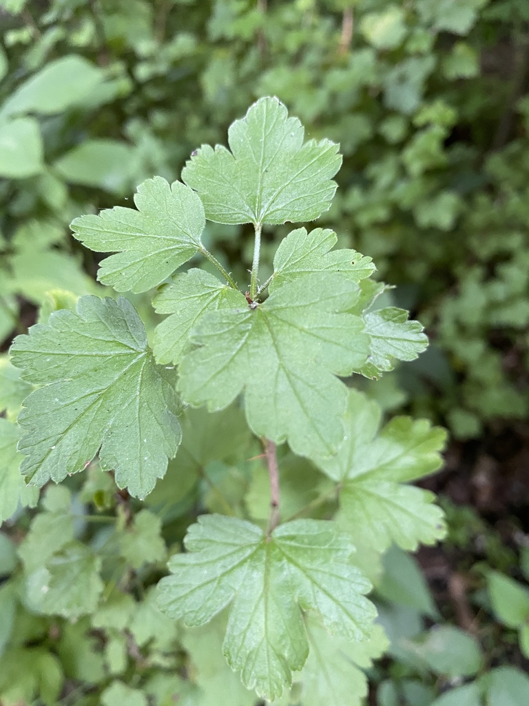
- Appalachian GooseberryRibes rotundifolium
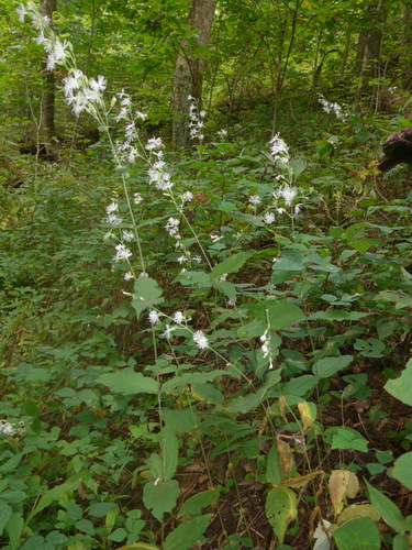
- Blue Ridge CatchflySilene ovata
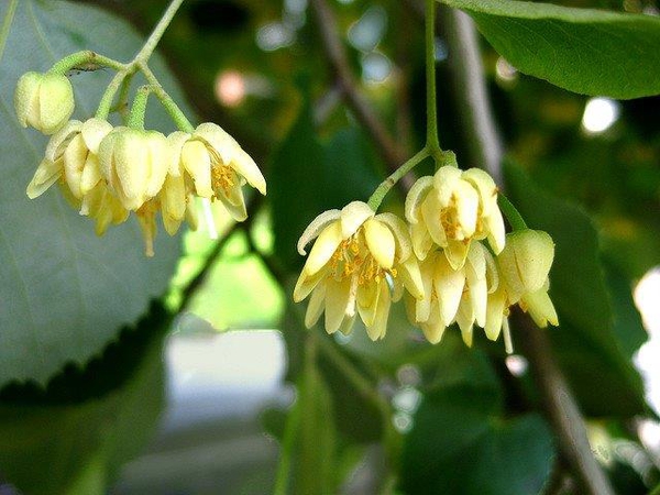
- American BasswoodTilia americana
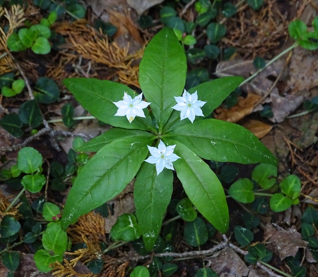
- StarflowerTrientalis borealis
- Slippery ElmUlmus rubra
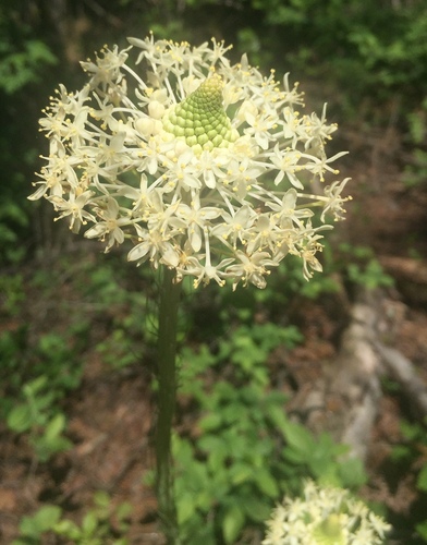
- Eastern TurkeybeardXerophyllum asphodeloides
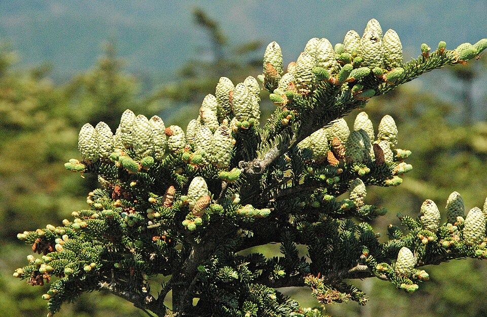
- Fraser FirAbies fraseri
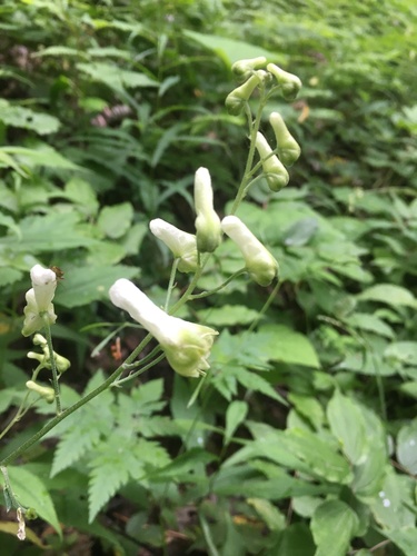
- White MonkshoodAconitum reclinatum
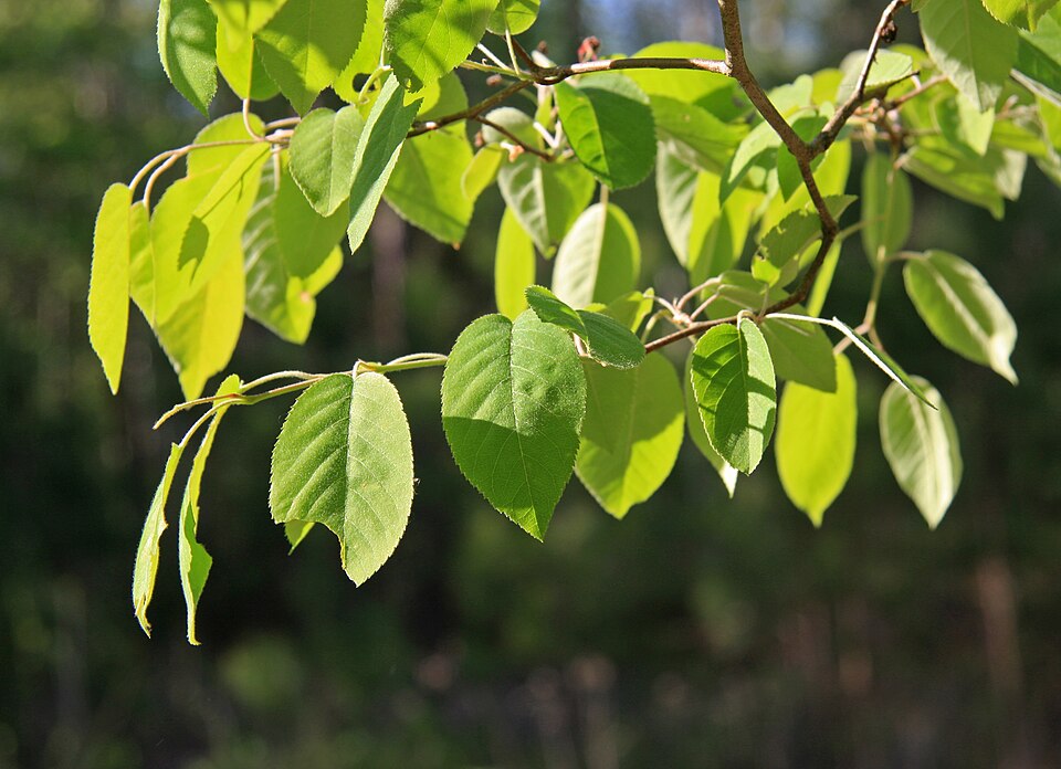
- Downy ServiceberryAmelanchier arborea
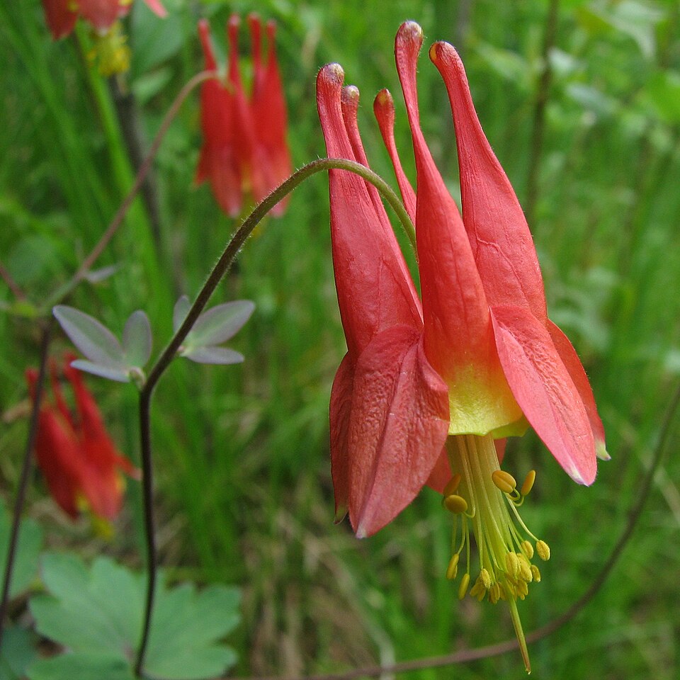
- Eastern ColumbineAquilegia canadensis
- Spreading RockcressArabis patens
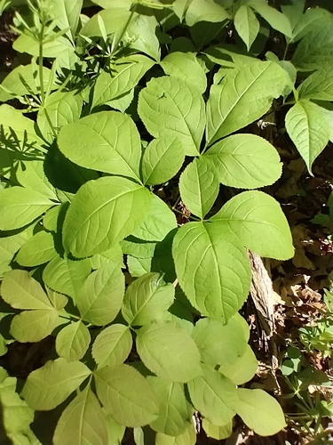
- Wild SarsaparillaAralia nudicaulis
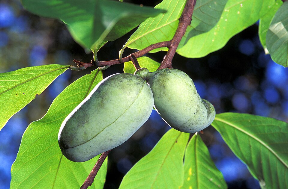
- Common PawpawAsimina triloba
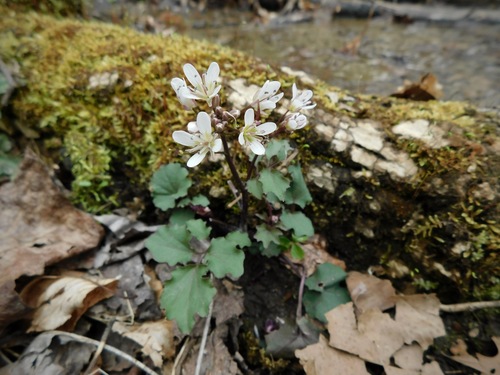
- Blue Ridge BittercressCardamine flagellifera
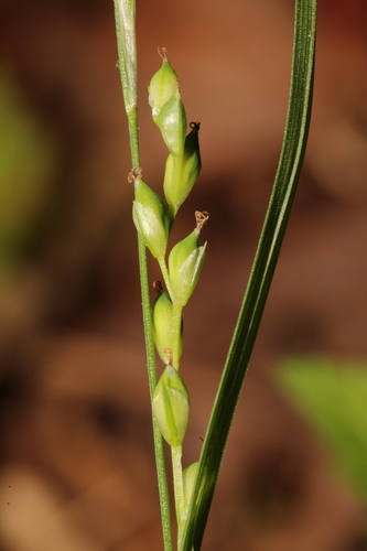
- Manhart's SedgeCarex manhartii
Wildlife 257
Other animals whose habitat models include the same habitats in Virginia. Not sighting records.
- Common NighthawkChordeiles minor
- Great Horned OwlBubo virginianus
- Red-tailed HawkButeo jamaicensis
- Sharp-shinned HawkAccipiter striatus
- Turkey VultureCathartes aura
- Cooper's HawkAccipiter cooperii
- Eastern KingbirdTyrannus tyrannus
- American CrowCorvus brachyrhynchos
- American GoldfinchCarduelis tristis
- American RobinTurdus migratorius
- Chimney SwiftChaetura pelagica
- Dark-eyed JuncoJunco hyemalis
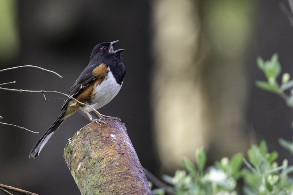
- Eastern TowheePipilo erythrophthalmus
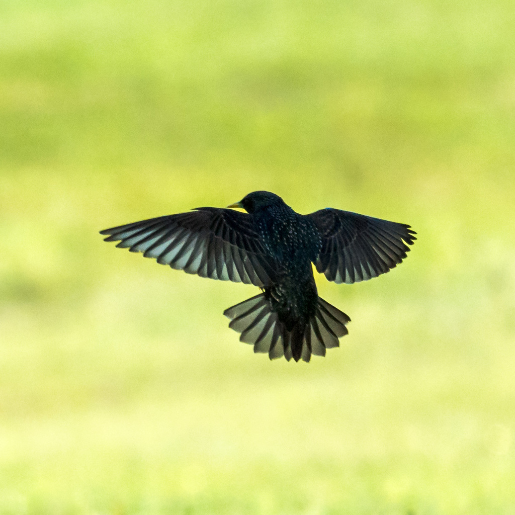
- European StarlingSturnus vulgaris
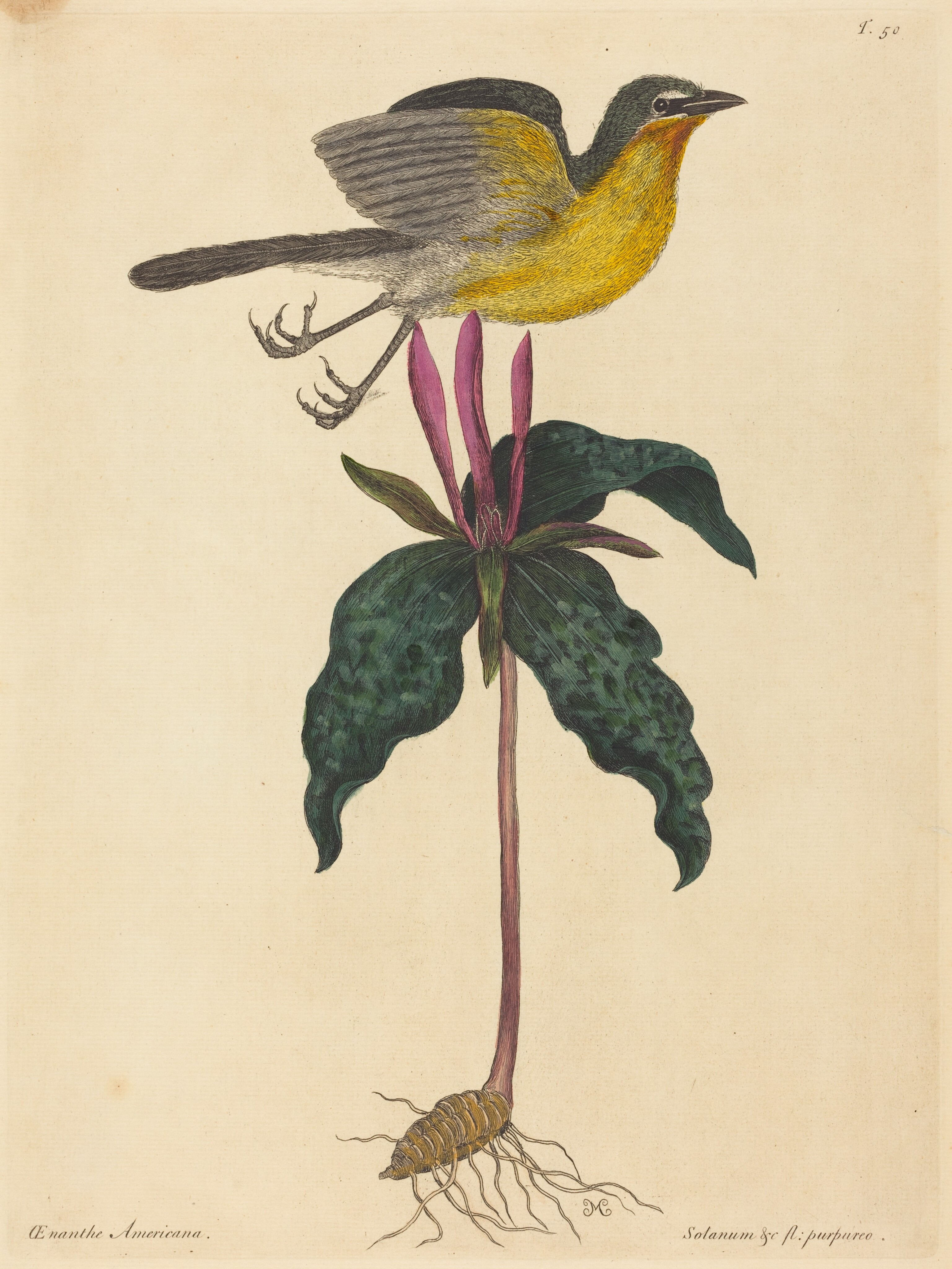
- Yellow-breasted ChatIcteria virens
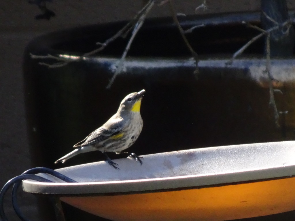
- Yellow-rumped WarblerDendroica coronata
- Cedar WaxwingBombycilla cedrorum
- Great Crested FlycatcherMyiarchus crinitus
- Northern CardinalCardinalis cardinalis
- Northern FlickerColaptes auratus
- Northern MockingbirdMimus polyglottos
- Purple FinchCarpodacus purpureus
- Spotted SandpiperActitis macularius
- American KestrelFalco sparverius


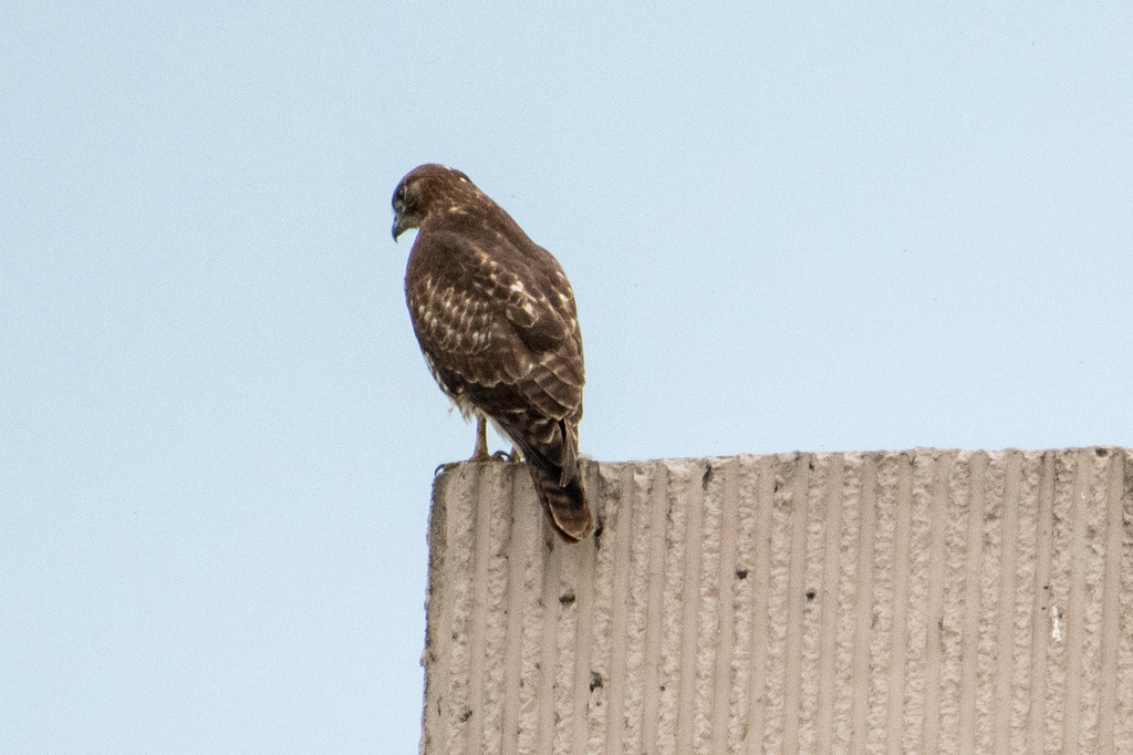
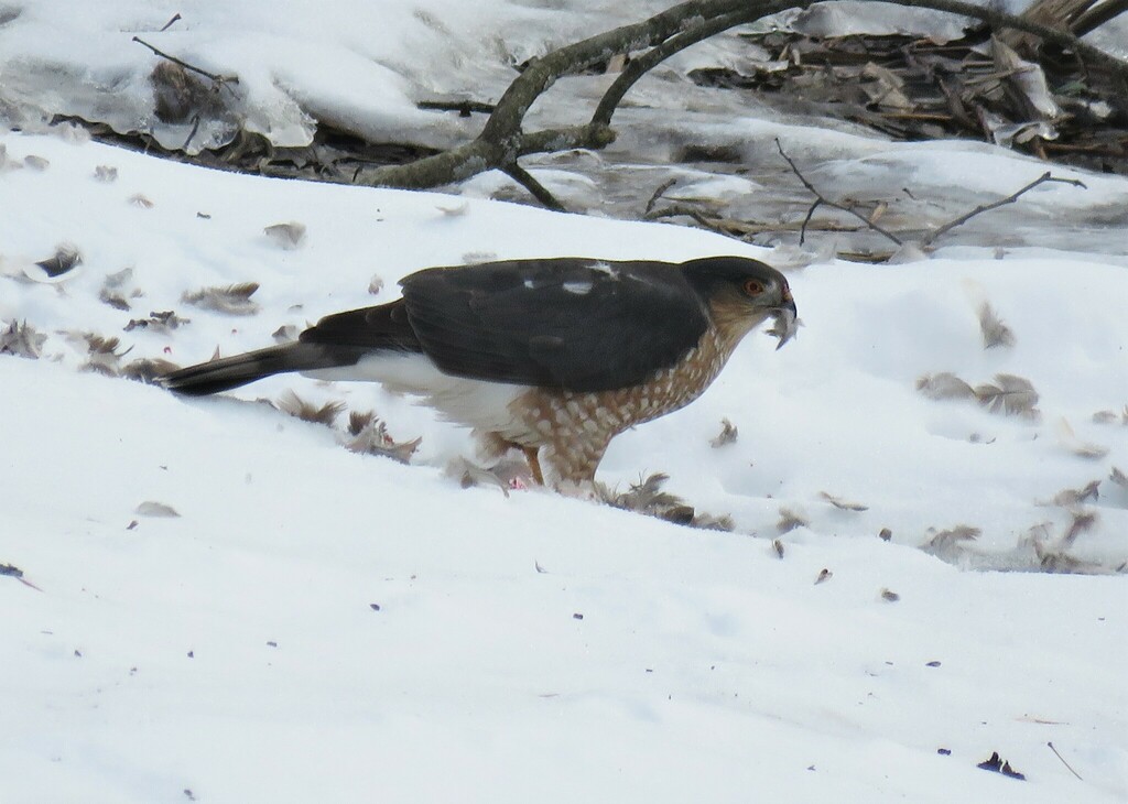
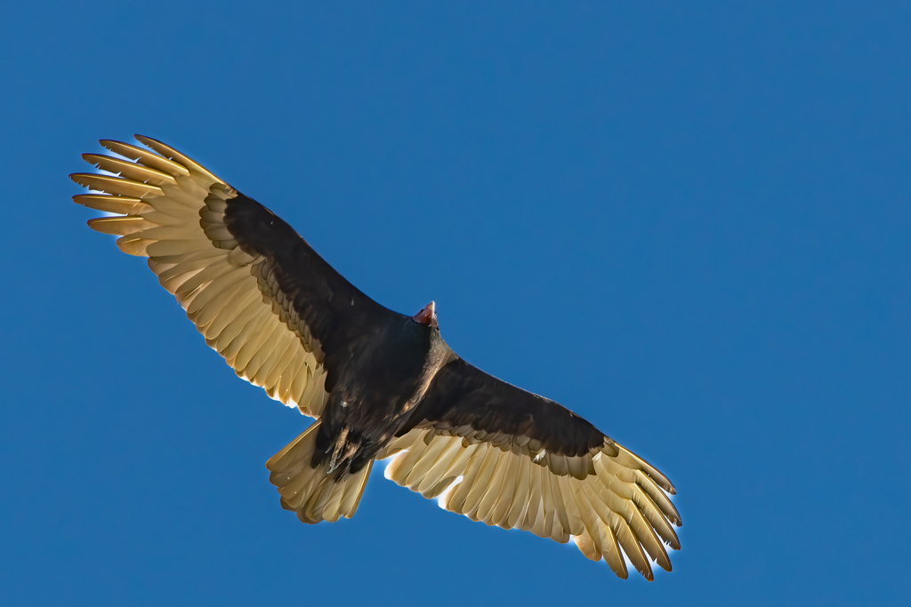






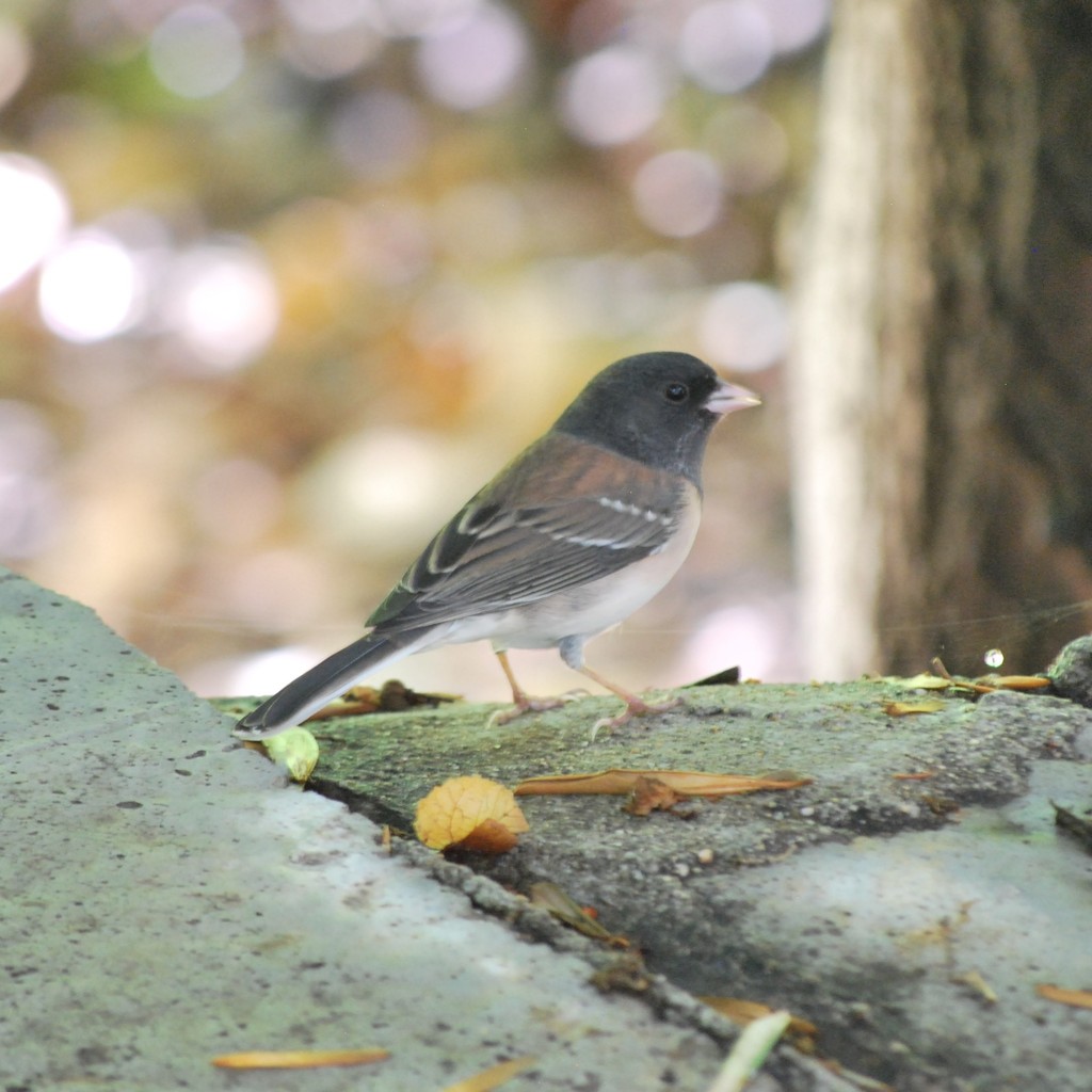
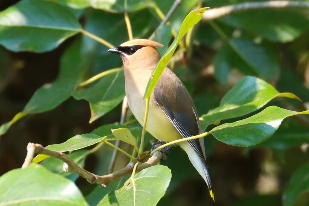
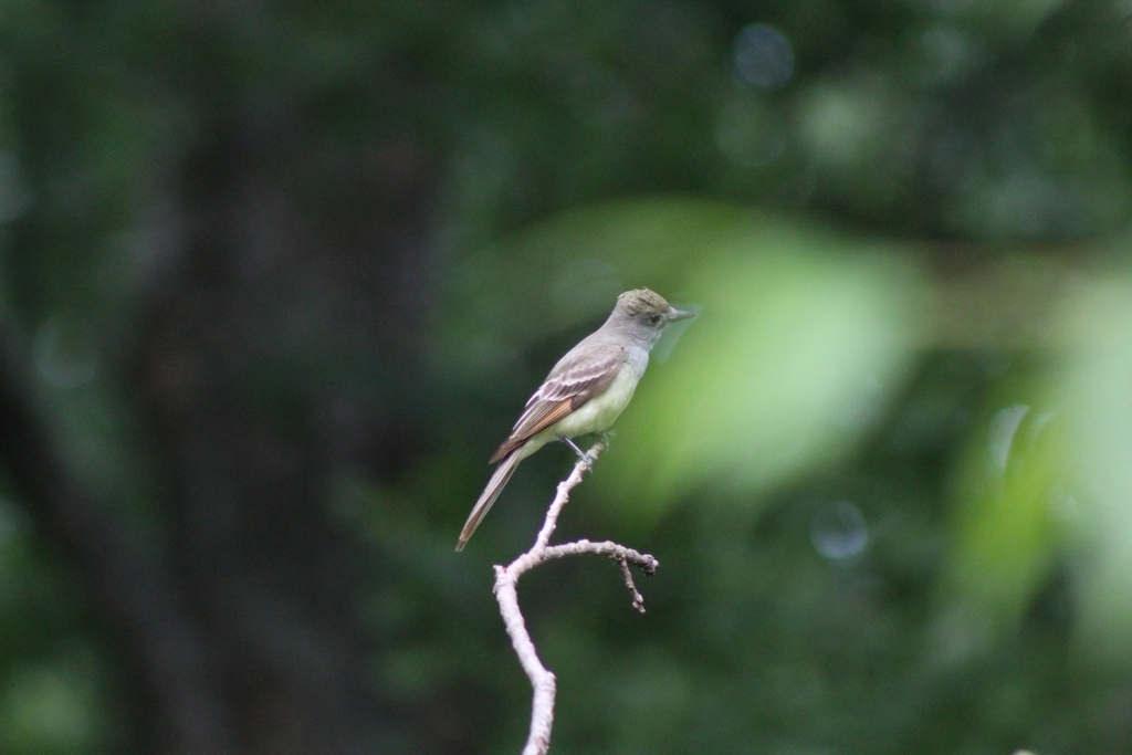
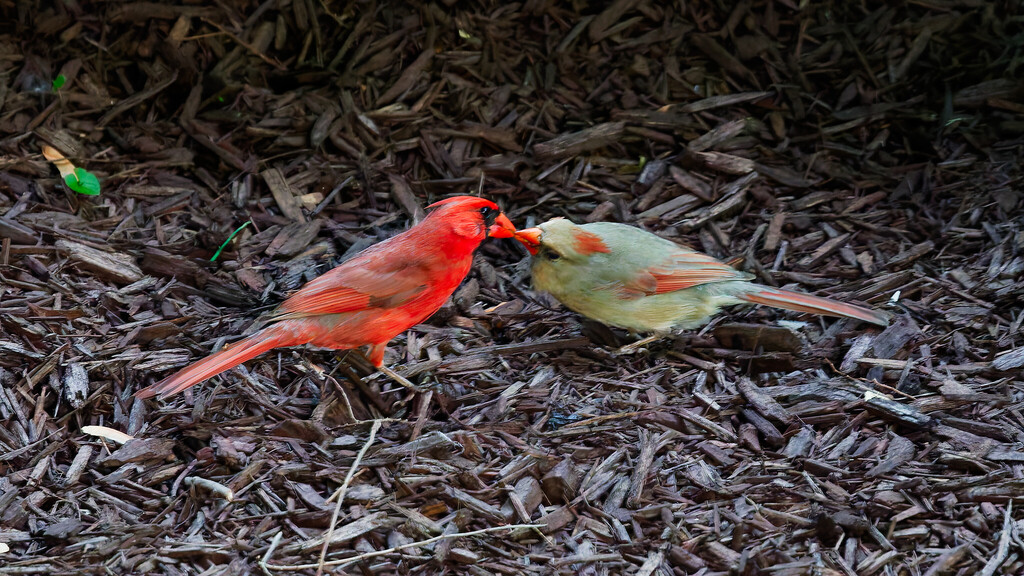
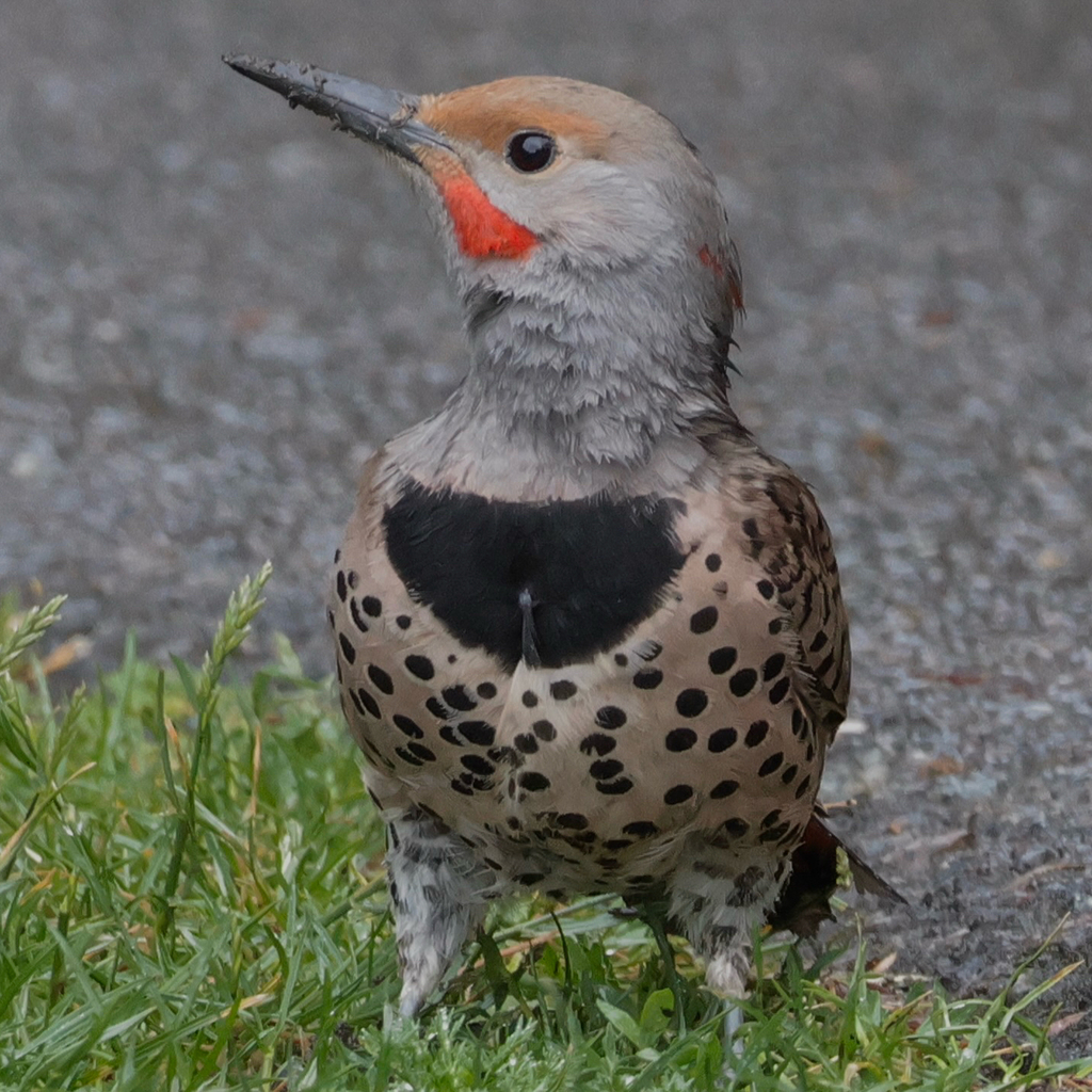
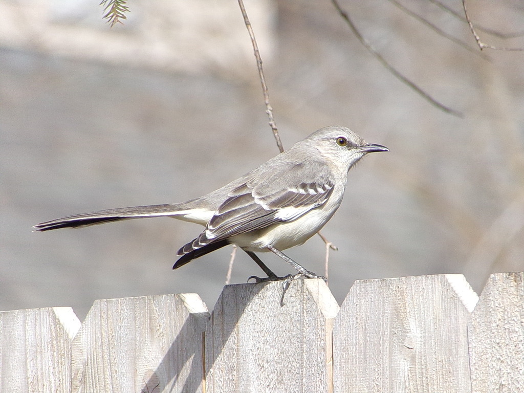
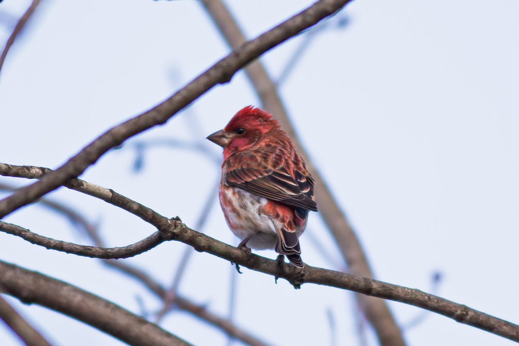
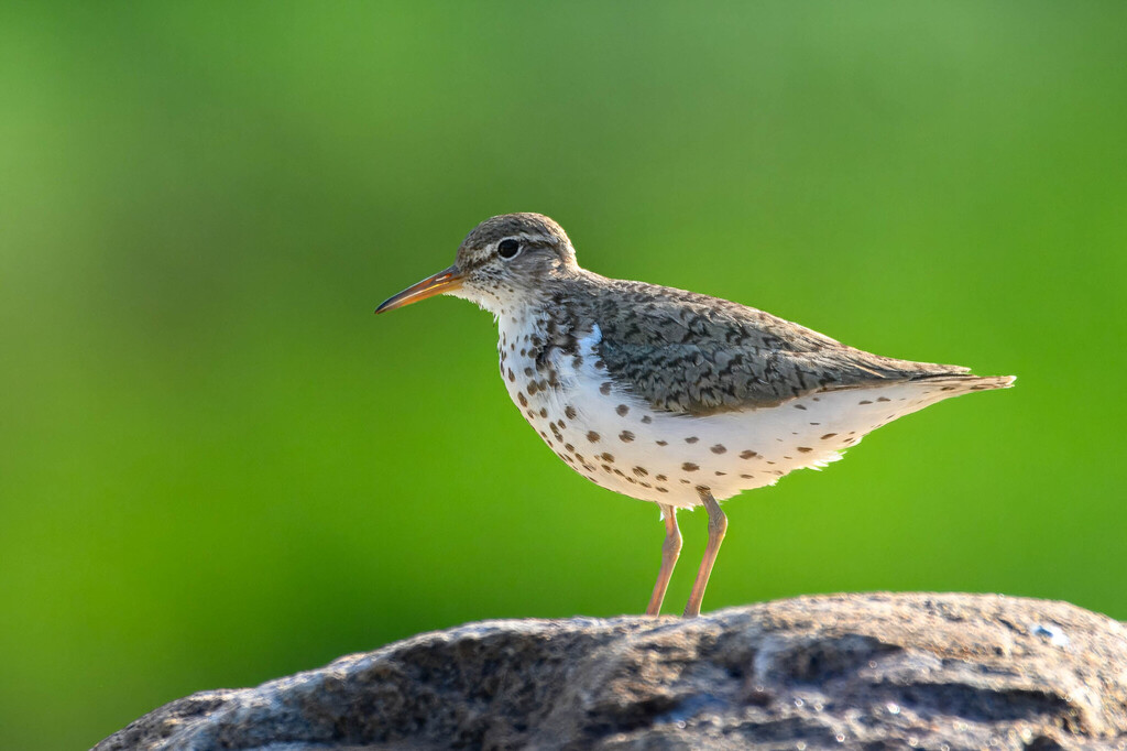
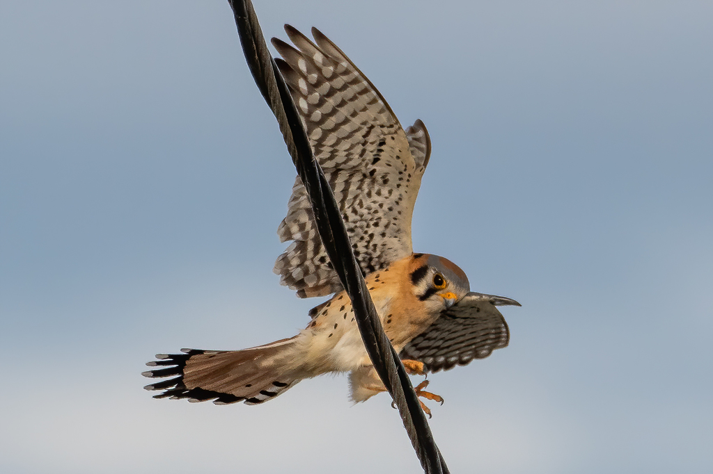


NatureServe Explorer, CC BY 4.0. USGS Gap Analysis Project habitat models.
Sources
- USGS Gap Analysis Project habitat models (2001)
- USGS GAP year-round habitat model for Common Raven Elevation 457 to 2,500 m
- USGS Gap Analysis Project range maps (2001), modeled by watershed; migratory gives no dates
- NatureServe Explorer (CC BY 4.0), habitat names
- US Census TIGER/Line counties
- Names follow the USGS Gap Analysis Project (2001)