

Bird
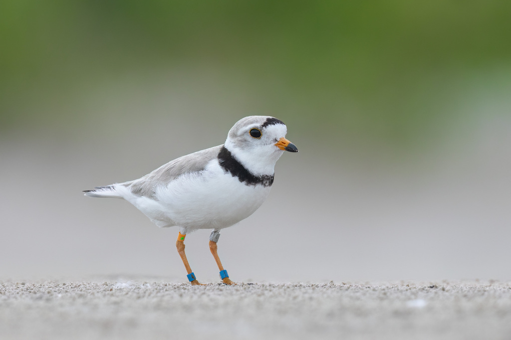
Piping Plover
Charadrius melodus
A winter visitor to Mississippi, found in 3 of 82 counties and 6 habitats.
- Here
- Winter
- Nesting
- Not known to nest here
- Range
- 3 of 82 counties
- Habitats
- 6
At a glance
- Group
- Birds
- Here
- Winter
- Nesting
- Not known to nest here
- Range
- 3 of 82 counties
- Habitats
- 6
- Habitat models
- Summer, Winter
Where it lives
The places its habitat model includes. It is not found everywhere a habitat occurs.
Habitats in Mississippi 6
Each habitat page lists the plants and wildlife also found there.
Open sand of beaches, dunes and the hollows between them.
Coastal tidal marshes (salinity not stated)
Tidal marshes of the Atlantic and Gulf coasts where the source does not say whether the water is fresh, brackish or salt. A stated salinity files the marsh under freshwater tidal marshes or salt and brackish marshes instead.
Coastal marshes flooded by salty or brackish tides.
Still water and its edges: ponds, lakes, millponds and reservoirs.
Roadsides, fields and disturbed ground
Ground opened by people: roadsides, old fields, pastures, fencerows and lots.
Salt and brackish open water of sounds, bays and estuaries, with the mud and sand flats and seagrass beds that tides cover and uncover; the vegetated marsh is salt and brackish marshes.
Other habitats in its models (49)
Land cover, or classes with no habitat page in Mississippi. Those recorded in Mississippi first, the rest by region.
Elsewhere in the South (17)
- Atlantic Coastal Plain Central Salt and Brackish Tidal Marsh Summer and winter.
- Atlantic Coastal Plain Embayed Region Tidal Freshwater Marsh Summer and winter.
- Atlantic Coastal Plain Embayed Region Tidal Salt and Brackish Marsh Summer and winter.
- Atlantic Coastal Plain Indian River Lagoon Tidal Marsh Summer and winter.
- Atlantic Coastal Plain Sea Island Beach Summer and winter.
- Atlantic Coastal Plain Southern Beach Summer and winter.
- Atlantic Coastal Plain Southern Dune and Maritime Grassland Summer and winter, beside its main habitat.
- Florida Big Bend Fresh-Oligohaline Tidal Marsh Summer and winter.
- Florida Big Bend Salt-Brackish Tidal Marsh Summer and winter.
- Louisiana Beach Summer and winter.
- South Florida Shell Hash Beach Summer and winter.
- Southeast Florida Beach Summer and winter.
- Southwest Florida Beach Summer and winter.
- Southwest Florida Dune and Coastal Grassland Summer and winter, beside its main habitat.
- Texas Coastal Bend Beach Summer and winter.
- Upper Texas Coast Beach Summer and winter.
- Western Great Plains Floodplain Summer.
Northeast (6)
- Atlantic Coastal Plain Northern Fresh and Oligohaline Tidal Marsh Summer and winter.
- Atlantic Coastal Plain Northern Sandy Beach Summer.
- Atlantic Coastal Plain Northern Tidal Salt Marsh Summer and winter.
- Great Lakes Freshwater Estuary and Delta Summer.
- Northern Atlantic Coastal Plain Dune and Swale Summer, beside its main habitat.
- Northern Atlantic Coastal Plain Sandy Beach Summer.
Midwest (10)
- Central Mixedgrass Prairie Summer and winter, beside its main habitat.
- Great Lakes Alvar Summer.
- Great Lakes Dune Summer.
- Great Plains Prairie Pothole Summer.
- Northern Great Lakes Coastal Marsh Summer.
- Northwestern Great Plains Floodplain Summer.
- Northwestern Great Plains Mixedgrass Prairie Summer, beside its main habitat.
- Western Great Plains Open Freshwater Depression Wetland Summer.
- Western Great Plains Saline Depression Wetland Summer.
- Western Great Plains Sand Prairie Summer, beside its main habitat.
West (7)
- Inter-Mountain Basins Alkaline Closed Depression Summer.
- Inter-Mountain Basins Interdunal Swale Wetland Summer.
- Inter-Mountain Basins Playa Summer.
- Inter-Mountain Basins Semi-Desert Grassland Summer, beside its main habitat.
- North American Warm Desert Playa Summer.
- Western Great Plains Closed Depression Wetland Summer.
- Western Great Plains Shortgrass Prairie Summer, beside its main habitat.
Land cover and other classes (9)
- Acadian Salt Marsh and Estuary Systems Summer.
- Barren Land Summer and winter, beside its main habitat.
- Eastern Great Plains Floodplain Systems Summer.
- Great Lakes Coastal Marsh Systems Summer.
- South Texas Dune and Coastal Grassland Summer, beside its main habitat.
- Unconsolidated Shore Summer and winter.
- Unconsolidated Shore (Lake/River/Pond) Summer and winter.
- Western Great Plains Depressional Wetland Systems Summer and winter.
- Western Great Plains Floodplain Systems Summer and winter.
Seasons in Mississippi
- Winter: does not nest here, in 3 of 82 counties.
Also found in its main habitats
Its main habitats in Mississippi, by how much of its habitat model each one is, with the birds most characteristic of each and the plants that grow wild there. Shared habitat, not food.
Coastal dunes and beaches
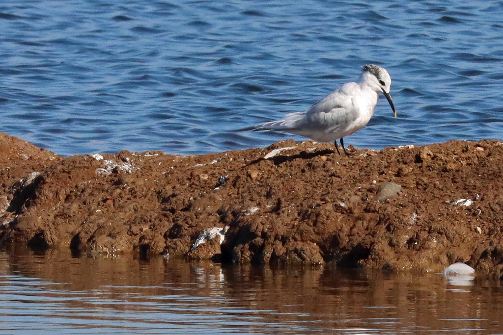
Birds 127
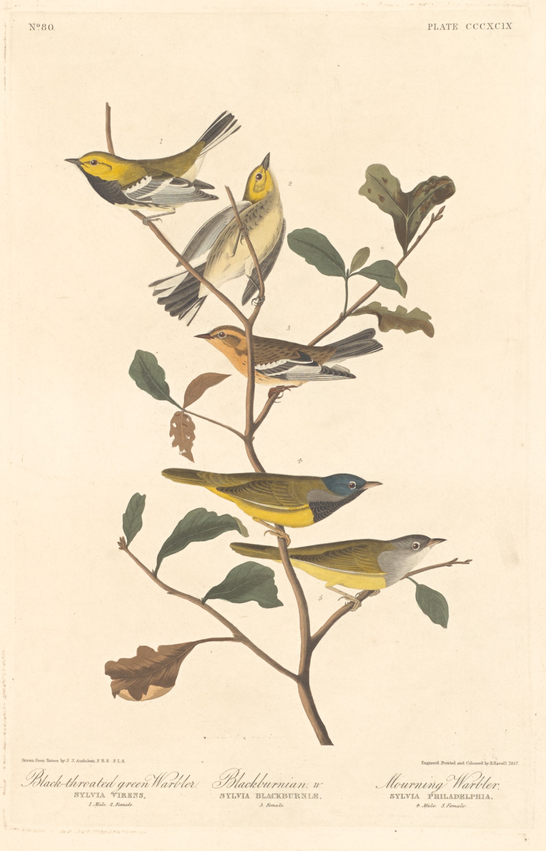
- Black-throated Green WarblerDendroica virens
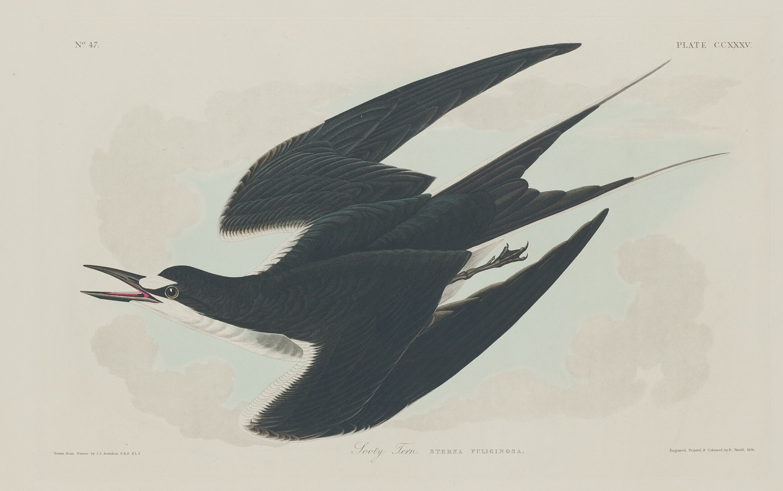
- Sooty TernOnychoprion fuscatus
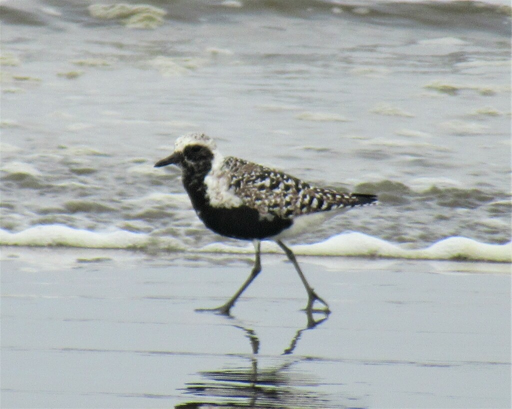
- Black-bellied PloverPluvialis squatarola
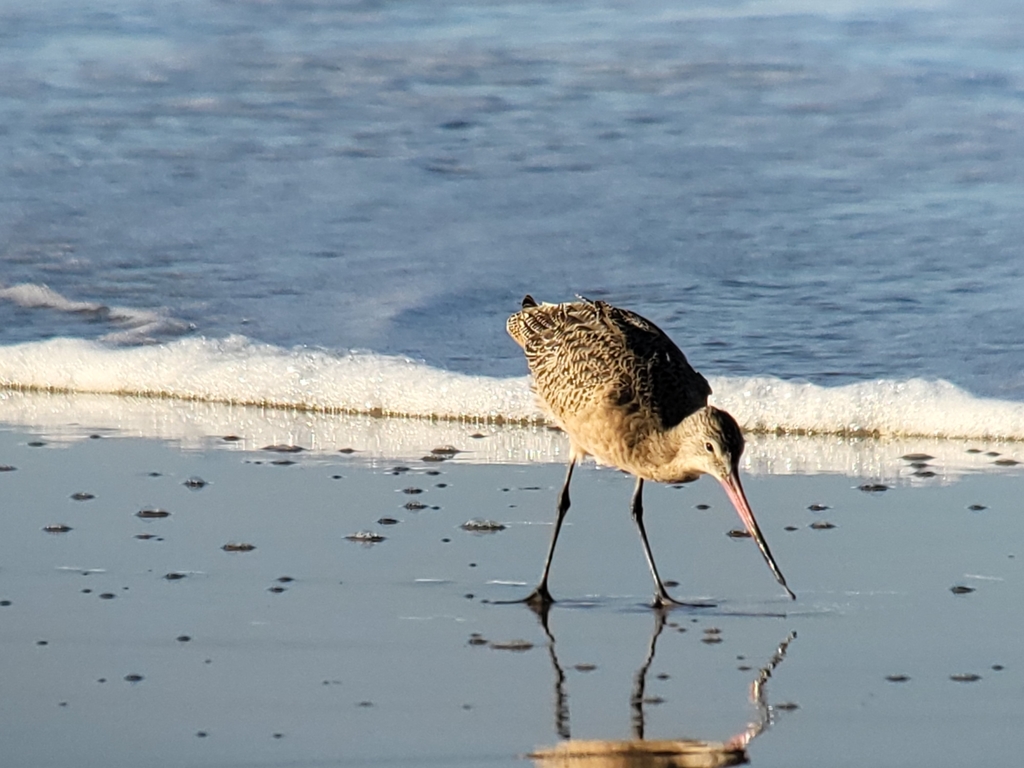
- Marbled GodwitLimosa fedoa
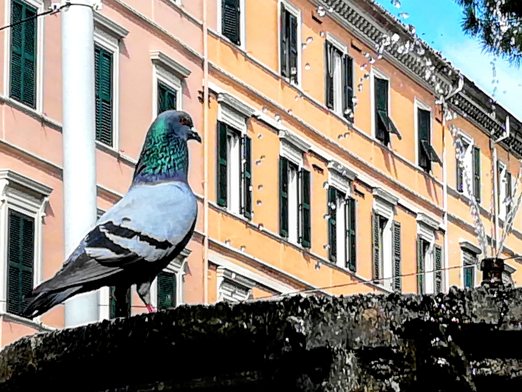
- Rock PigeonColumba livia
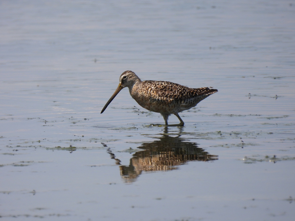
- Short-billed DowitcherLimnodromus griseus
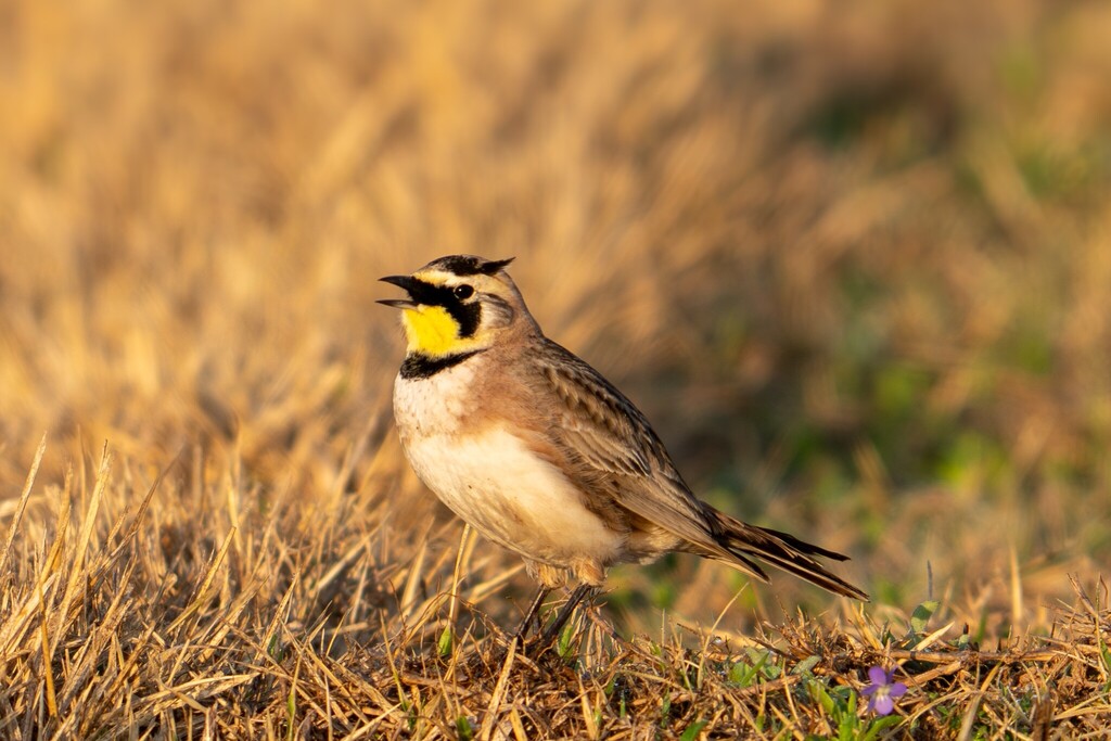
- Horned LarkEremophila alpestris
- KilldeerCharadrius vociferus
- Nelson's Sharp-tailed SparrowAmmodramus nelsoni
- Purple MartinProgne subis
- Red KnotCalidris canutus
- Sandwich TernThalasseus sandvicensis
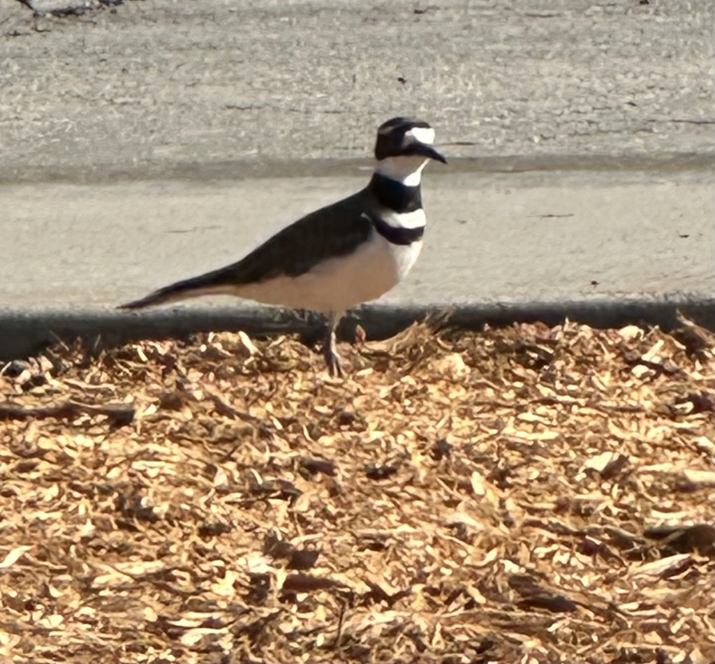
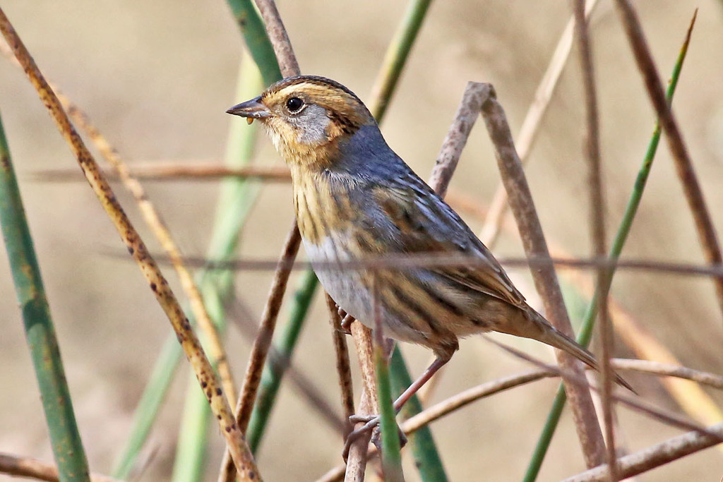
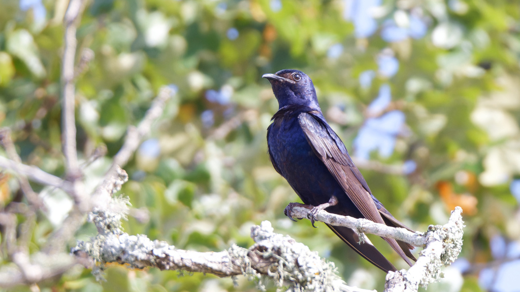
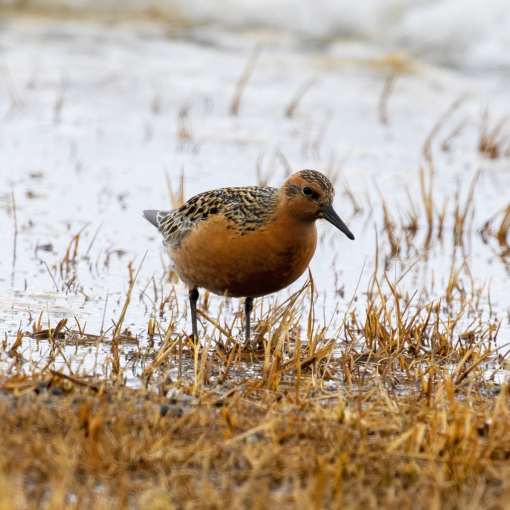
Plants 118
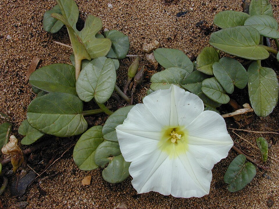
- Beach Morning-gloryIpomoea imperati
- Ipomoea cordatotriloba var. cordatotrilobaIpomoea cordatotriloba var. cordatotriloba
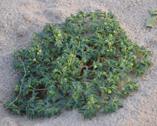
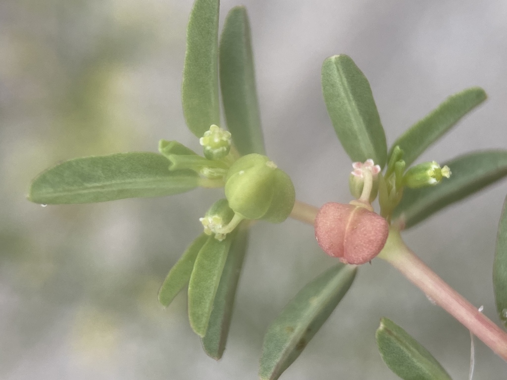
- Northern Seaside SpurgeEuphorbia polygonifolia
- Southern Seaside SpurgeEuphorbia bombensis
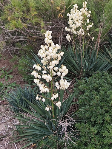
- Mound-lily YuccaYucca gloriosa
- Agalinis harperiAgalinis harperi
- Panicum amarum var. amarumPanicum amarum var. amarum
- Rough American Barnyard GrassEchinochloa muricata var. muricata
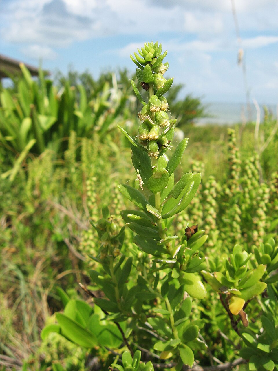
- Northern Seabeach OrachAtriplex mucronata
- Atriplex cristataAtriplex cristata
- Dune Marsh-elderIva imbricata
- Pinewoods FingergrassEustachys petraea
Coastal tidal marshes (salinity not stated)
Birds 89
- Marbled GodwitLimosa fedoa
- Short-billed DowitcherLimnodromus griseus
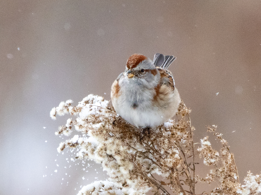
- American Tree SparrowSpizella arborea
- KilldeerCharadrius vociferus
- Nelson's Sharp-tailed SparrowAmmodramus nelsoni
- Red KnotCalidris canutus
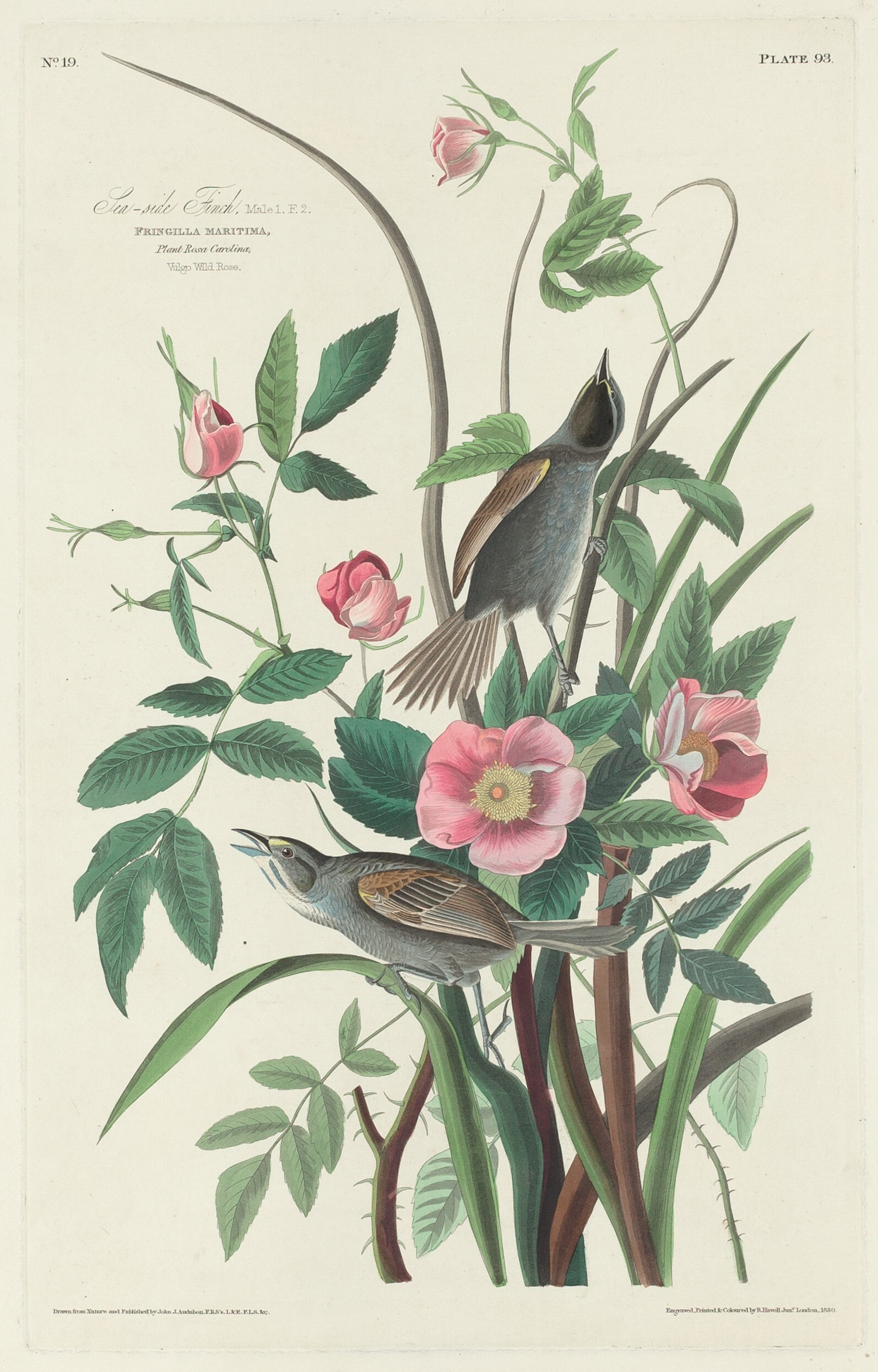
- Seaside SparrowAmmodramus maritimus
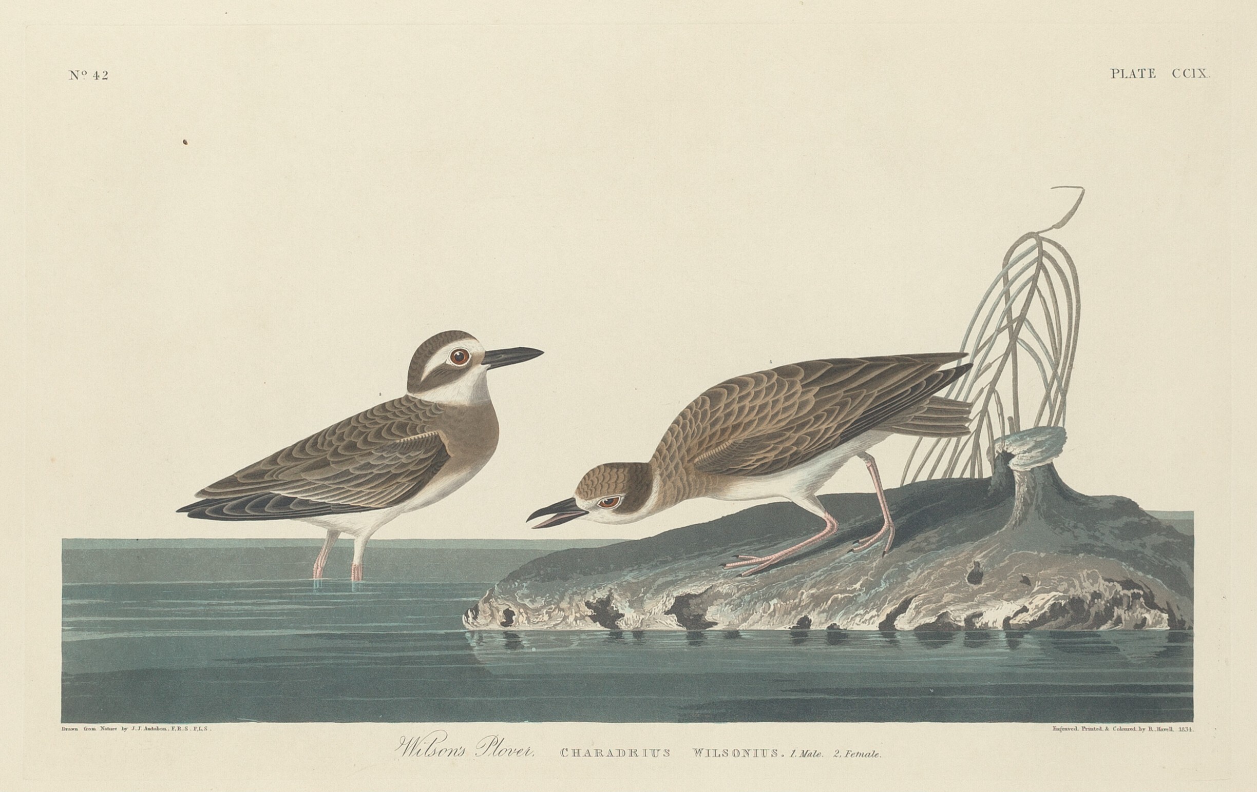
- Wilson's PloverCharadrius wilsonia
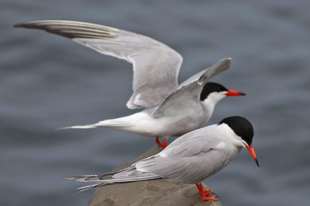
- Common TernSterna hirundo
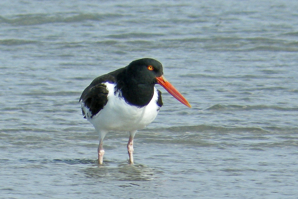
- American OystercatcherHaematopus palliatus
- American White PelicanPelecanus erythrorhynchos
- Black SkimmerRynchops niger
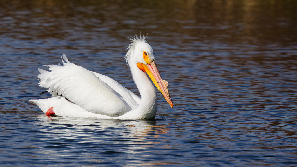
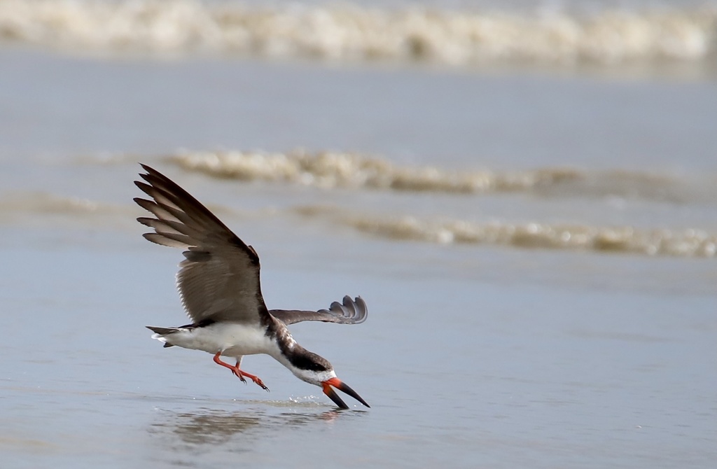
Plants 30
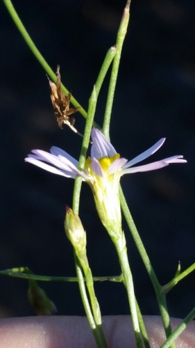
- Annual Saltmarsh AsterSymphyotrichum subulatum
- Sandpaper VervainVerbena scabra
- Dwarf ArrowheadSagittaria subulata
- Black NeedlerushJuncus roemerianus
- Carolina Sea-lavenderLimonium carolinianum
- Southern Water-hempAmaranthus australis
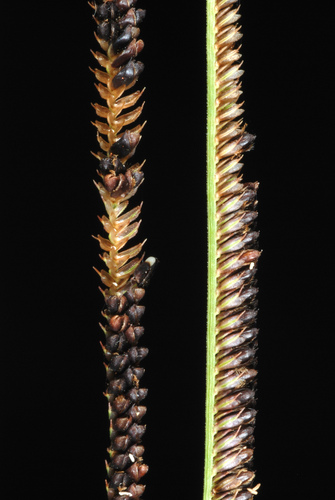
- Shoreline SedgeCarex hyalinolepis
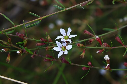
- Pink RedstemAmmannia latifolia
- Solidago sempervirens var. mexicanaSolidago sempervirens var. mexicana
- Grassy ArrowheadSagittaria graminea
- Giant BristlegrassSetaria magna
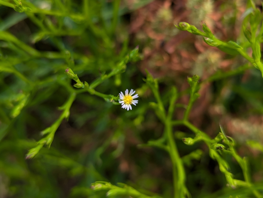
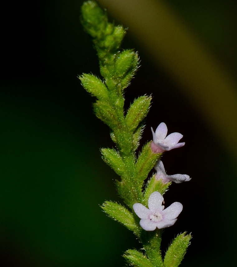
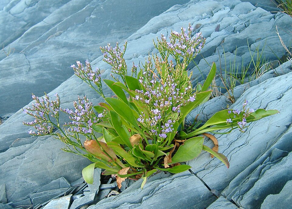
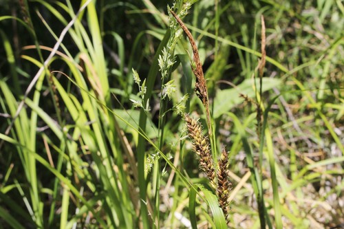
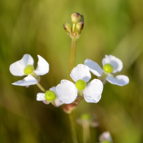
All of coastal tidal marshes (salinity not stated) in Mississippi
Salt and brackish marshes
Birds 96
- Marbled GodwitLimosa fedoa
- Short-billed DowitcherLimnodromus griseus
- KilldeerCharadrius vociferus
- Nelson's Sharp-tailed SparrowAmmodramus nelsoni
- Red KnotCalidris canutus
- Sandwich TernThalasseus sandvicensis
- Seaside SparrowAmmodramus maritimus
- Wilson's PloverCharadrius wilsonia
- American OystercatcherHaematopus palliatus
- American White PelicanPelecanus erythrorhynchos
- Black SkimmerRynchops niger
- Brown PelicanPelecanus occidentalis
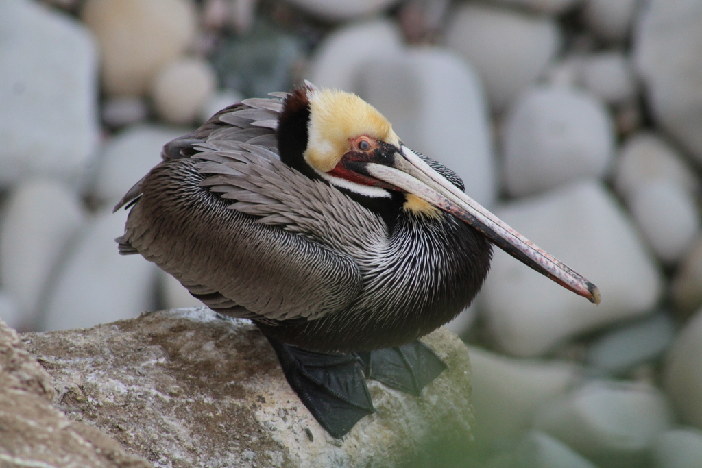
Plants 50
- Perennial Saltmarsh AsterSymphyotrichum tenuifolium
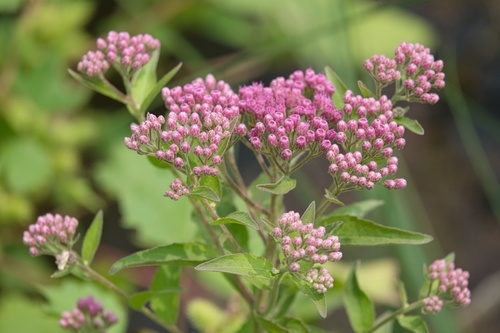
- Pluchea odorata var. odorataPluchea odorata var. odorata
- Wand LoosestrifeLythrum lineare
- Delta BulrushSchoenoplectus deltarum
- Olney's ThreesquareSchoenoplectus americanus
- Cicuta maculata var. bolanderiCicuta maculata var. bolanderi
- Cyperus filicinusCyperus filicinus
- Saltmarsh CordgrassSpartina alterniflora
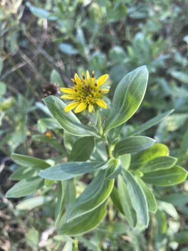
- Sea OxeyeBorrichia frutescens
- Heliotropium curassavicum var. curassavicumHeliotropium curassavicum var. curassavicum
- Batis maritimaBatis maritima
- Perennial GlasswortSarcocornia ambigua
Sources
- USGS Gap Analysis Project habitat models (2001)
- USGS GAP winter habitat model for Piping Plover
- USGS Gap Analysis Project range maps (2001), modeled by watershed; migratory gives no dates
- NatureServe Explorer (CC BY 4.0), habitat names
- US Census TIGER/Line counties
- Names follow the USGS Gap Analysis Project (2001)