

Bird
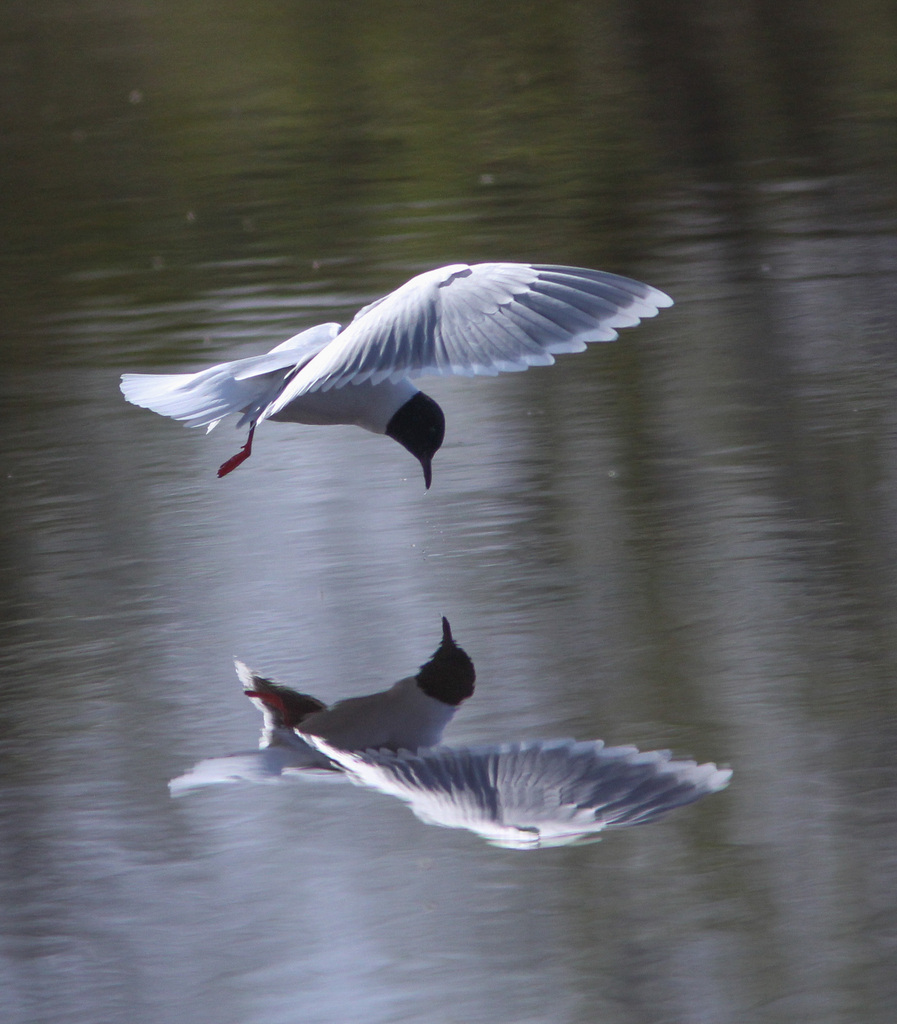
Little Gull
Hydrocoloeus minutus
A winter visitor to Mississippi, found in 7 of 82 counties and 7 habitats.
- Here
- Winter
- Nesting
- Not known to nest here
- Range
- 7 of 82 counties
- Habitats
- 7
At a glance
- Group
- Birds
- Here
- Winter
- Nesting
- Not known to nest here
- Range
- 7 of 82 counties
- Habitats
- 7
- Habitat models
- Winter
Where it lives
The places its habitat model includes. It is not found everywhere a habitat occurs.
Habitats in Mississippi 7
Each habitat page lists the plants and wildlife also found there.
Open sand of beaches, dunes and the hollows between them.
Open, wet, seepage-fed bogs of the Coastal Plain and Sandhills, often with pitcher plants.
Coastal tidal marshes (salinity not stated)
Tidal marshes of the Atlantic and Gulf coasts where the source does not say whether the water is fresh, brackish or salt. A stated salinity files the marsh under freshwater tidal marshes or salt and brackish marshes instead.
Disturbed and introduced wetlands
Wet ground taken over by weedy or introduced plants after disturbance, such as common reed, Chinese tallow or tamarisk stands; the upland counterpart is roadsides, fields and disturbed ground.
Open, fire-kept longleaf pine stands over grasses and wildflowers on wet to moist sandy soil.
Still water and its edges: ponds, lakes, millponds and reservoirs.
Salt and brackish open water of sounds, bays and estuaries, with the mud and sand flats and seagrass beds that tides cover and uncover; the vegetated marsh is salt and brackish marshes.
Other habitats in its models (39)
Land cover, or classes with no habitat page in Mississippi.
- Open Water (Aquaculture) Winter.
- Atlantic Coastal Plain Southern Beach Winter.
- Unconsolidated Shore (Lake/River/Pond) Winter.
- Unconsolidated Shore Winter.
- Upper Texas Coast Beach Winter.
- Louisiana Beach Winter.
- Southeast Florida Beach Winter.
- South Florida Shell Hash Beach Winter.
- Atlantic Coastal Plain Sea Island Beach Winter.
- Southwest Florida Beach Winter.
- Texas Coastal Bend Beach Winter.
- West Gulf Coastal Plain Catahoula Barrens Winter, only within 120 m of water.
- West Gulf Coastal Plain Nepheline Syenite Glade Winter, only within 120 m of water.
- Atlantic Coastal Plain Xeric River Dune Winter.
- West Gulf Coastal Plain Northern Calcareous Prairie Winter, only within 120 m of water.
- West Gulf Coastal Plain Southern Calcareous Prairie Winter, only within 120 m of water.
- Atlantic Coastal Plain Southern Dune and Maritime Grassland Winter.
- Southwest Florida Dune and Coastal Grassland Winter.
- Texas-Louisiana Coastal Prairie Winter, only within 120 m of water.
- Central and Upper Texas Coast Dune and Coastal Grassland Winter.
- Atlantic Coastal Plain Central Salt and Brackish Tidal Marsh Winter.
- Atlantic Coastal Plain Indian River Lagoon Tidal Marsh Winter.
- Florida Big Bend Salt-Brackish Tidal Marsh Winter.
- Atlantic Coastal Plain Clay-Based Carolina Bay Herbaceous Wetland Winter.
- Atlantic Coastal Plain Large Natural Lakeshore Winter.
- South Florida Everglades Sawgrass Marsh Winter.
- Floridian Highlands Freshwater Marsh Winter.
- Central Florida Herbaceous Seep Winter.
- Florida Big Bend Fresh-Oligohaline Tidal Marsh Winter.
- Atlantic Coastal Plain Central Fresh-Oligohaline Tidal Marsh Winter.
- South Florida Wet Marl Prairie Winter.
- Texas Saline Coastal Prairie Winter.
- Central Florida Herbaceous Pondshore Winter.
- East Gulf Coastal Plain Southern Depression Pondshore Winter.
- Atlantic Coastal Plain Depression Pondshore Winter.
- South Florida Freshwater Slough and Gator Hole Winter.
- East Gulf Coastal Plain Large River Floodplain Forest - Herbaceous Modifier Winter.
- South-Central Interior Large Floodplain - Herbaceous Modifier Winter.
- Texas-Louisiana Coastal Prairie Slough Winter.
Seasons in Mississippi
- Winter: does not nest here, in 7 of 82 counties.
Also found in this habitat
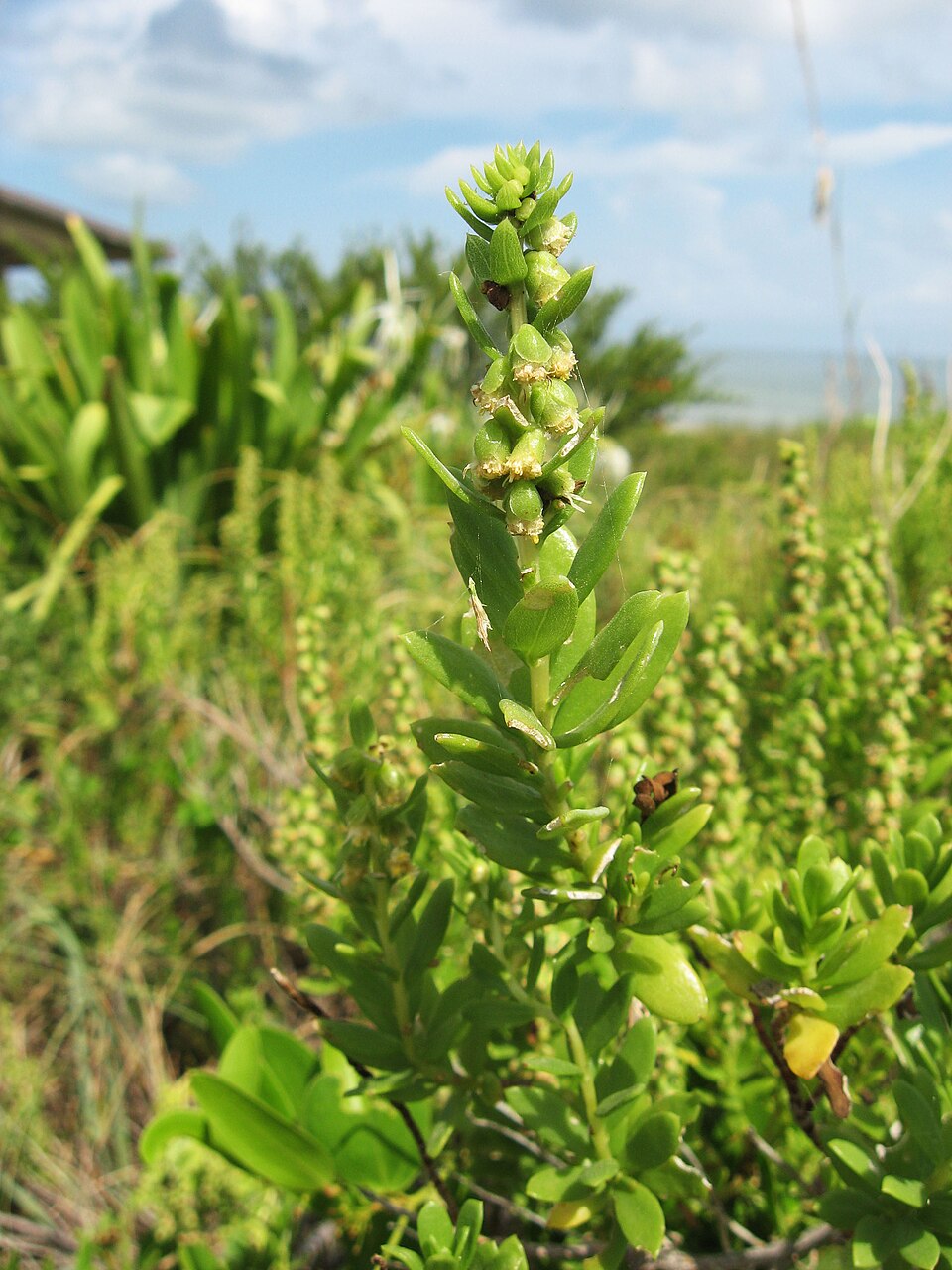
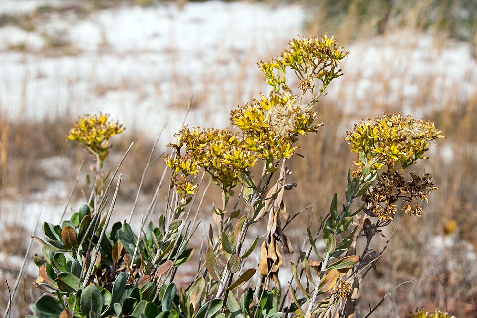
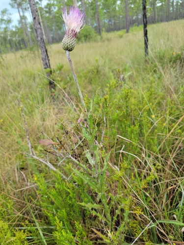
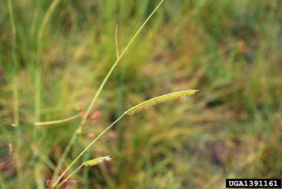
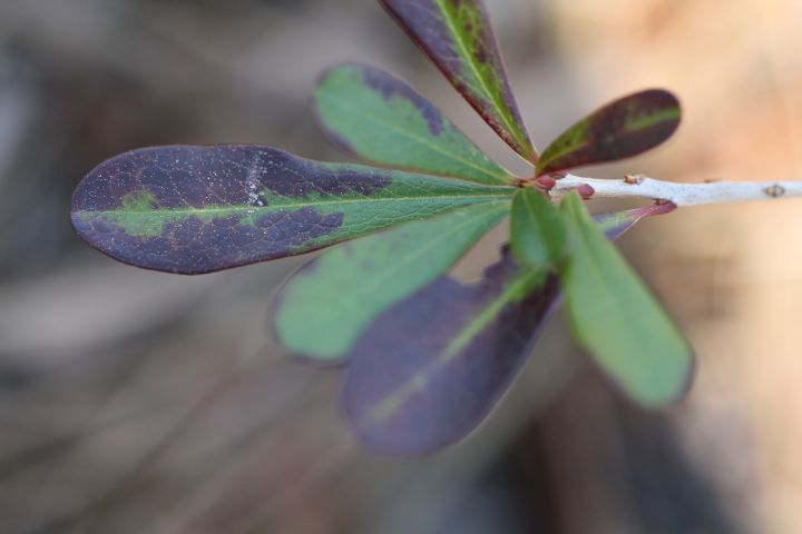
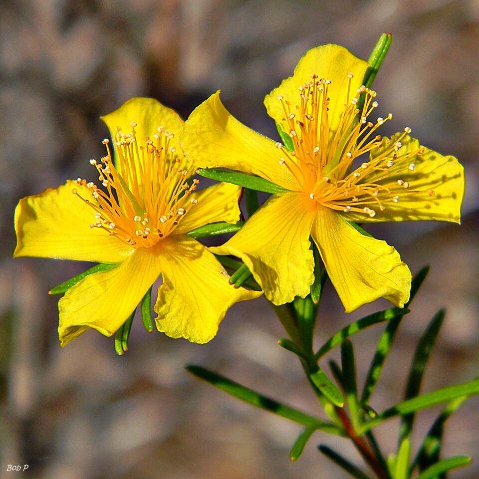
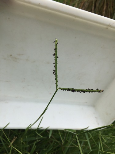
Plants 133
Plants named in NatureServe descriptions of these habitats that grow in Mississippi. Shared habitat, not food.
- Fuirena scirpoideaFuirena scirpoidea
- Dune Marsh-elderIva imbricata
- Common WaxmyrtleMorella cerifera
- Panicum amarum var. amarulumPanicum amarum var. amarulum
- Agalinis filicaulisAgalinis filicaulis
- Aristida beyrichianaAristida beyrichiana
- Carphephorus pseudoliatrisCarphephorus pseudoliatris
- Woody GoldenrodChrysoma pauciflosculosa
- LeConte's ThistleCirsium lecontei
- Toothache GrassCtenium aromaticum
- TitiCyrilla racemiflora
- Naked Stem Witch GrassDichanthelium nudicaule
- Drosera tracyiDrosera tracyi
- Peelbark St. John's-wortHypericum fasciculatum
- Pineland BogbuttonsLachnocaulon digynum
- Panhandle LilyLilium iridollae
- PondberryLindera melissifolia
- Panicum tenerumPanicum tenerum
- Largeleaf Grass-of-ParnassusParnassia grandifolia
- KnotgrassPaspalum distichum
- Pinguicula planifoliaPinguicula planifolia
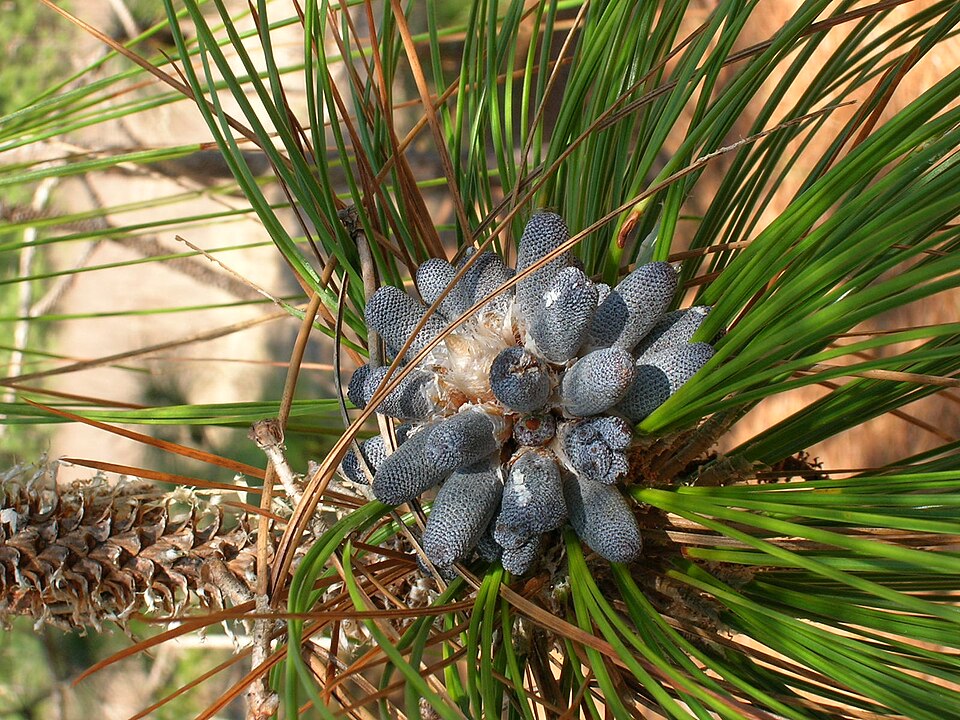
- Longleaf PinePinus palustris
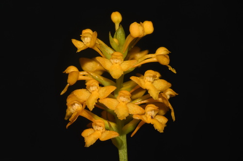
- Yellow Fringeless OrchidPlatanthera integra
- Tall JointweedPolygonella gracilis

Wildlife 233
Other animals whose habitat models include the same habitats in Mississippi. Not sighting records.
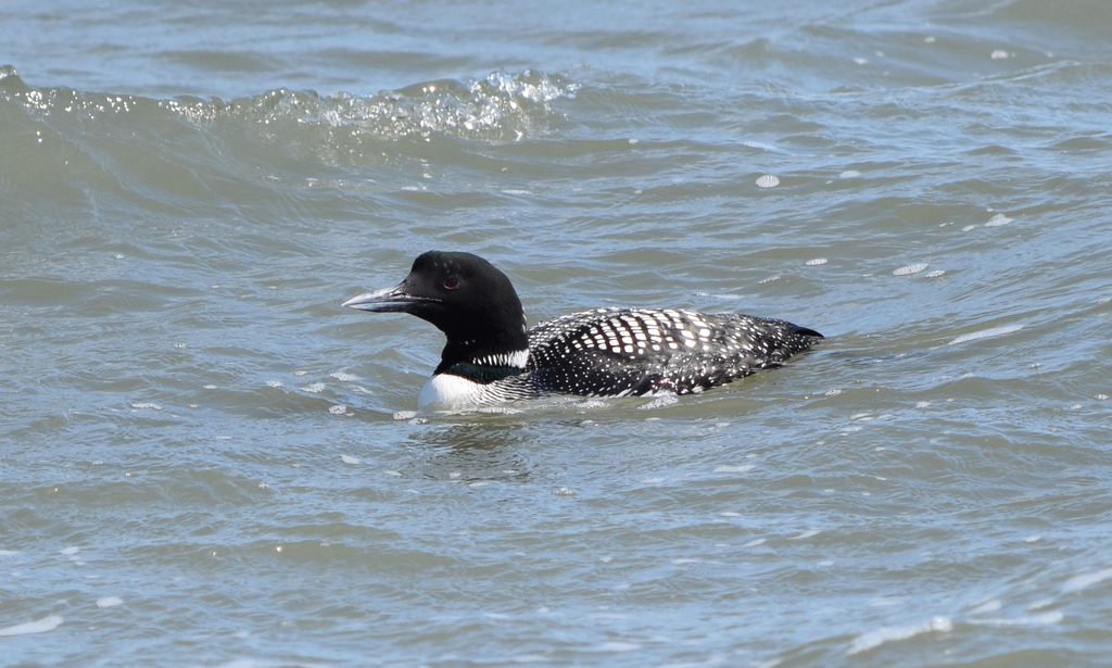
- Common LoonGavia immer
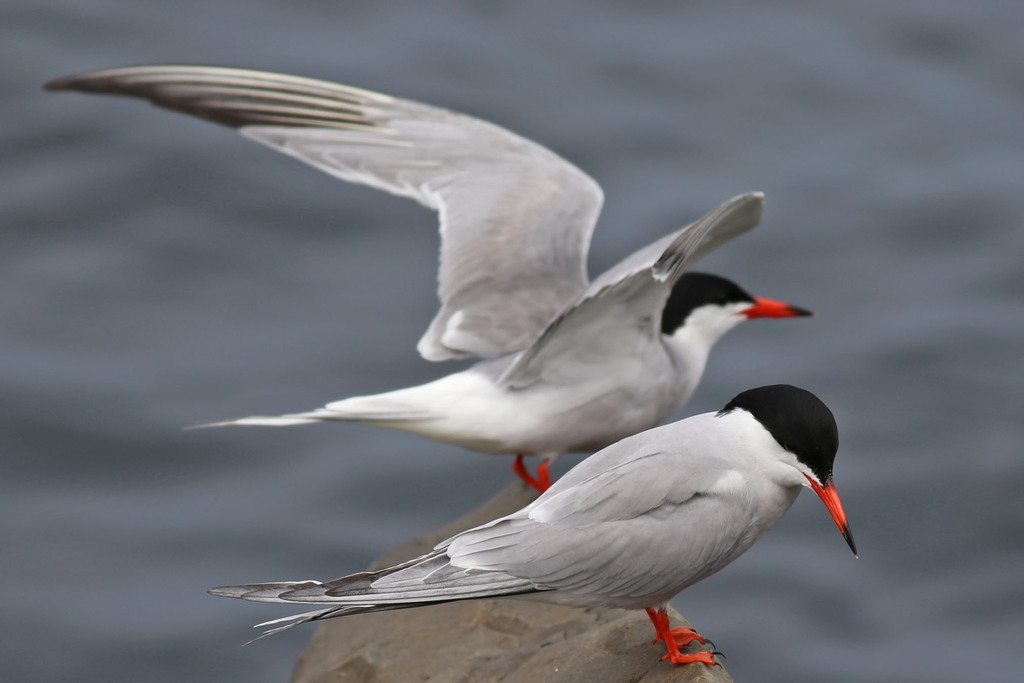
- Common TernSterna hirundo
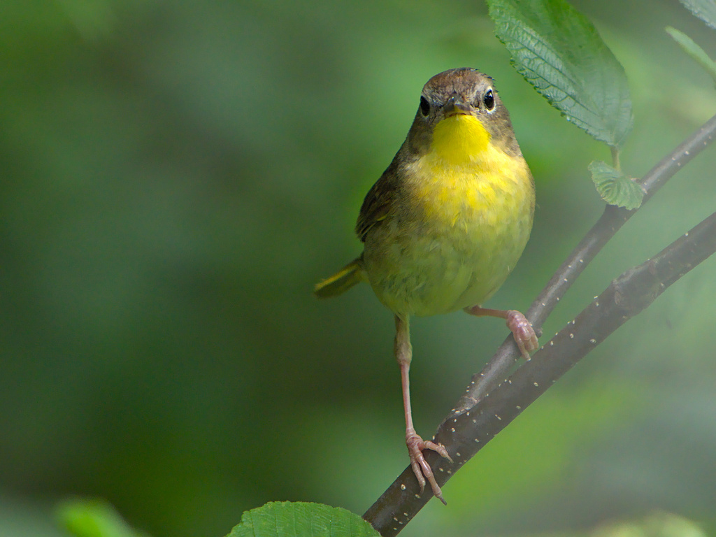
- Common YellowthroatGeothlypis trichas
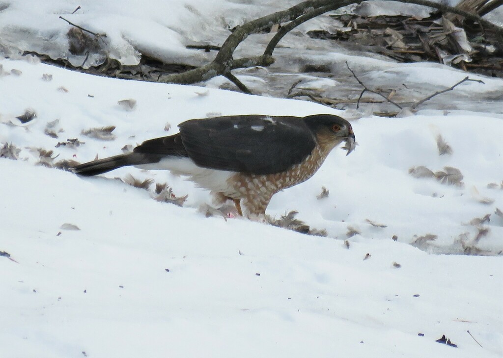
- Cooper's HawkAccipiter cooperii
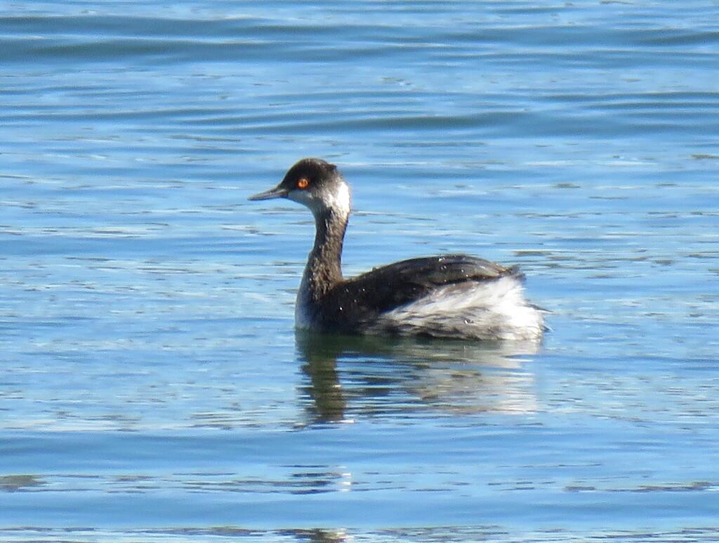
- Eared GrebePodiceps nigricollis
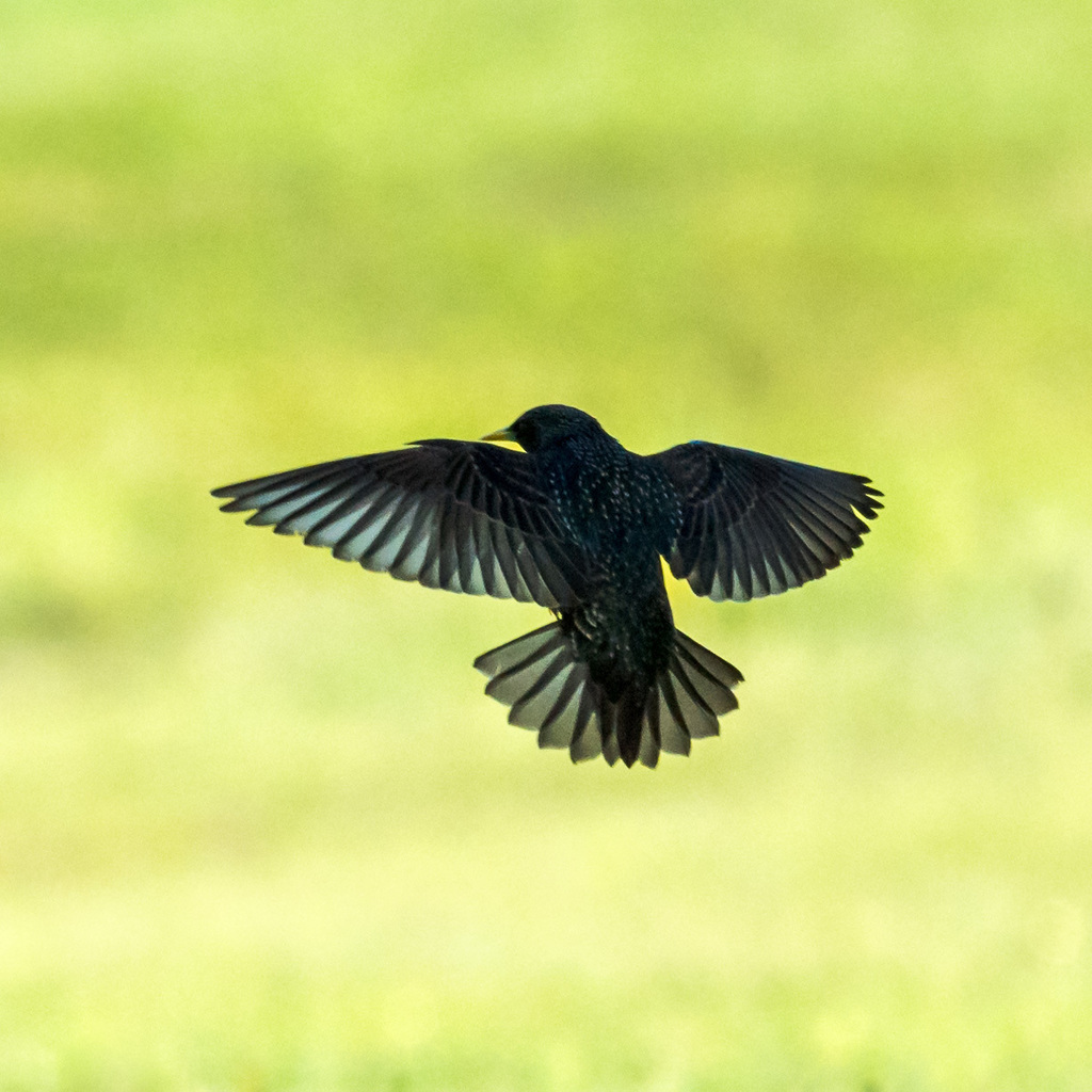
- European StarlingSturnus vulgaris
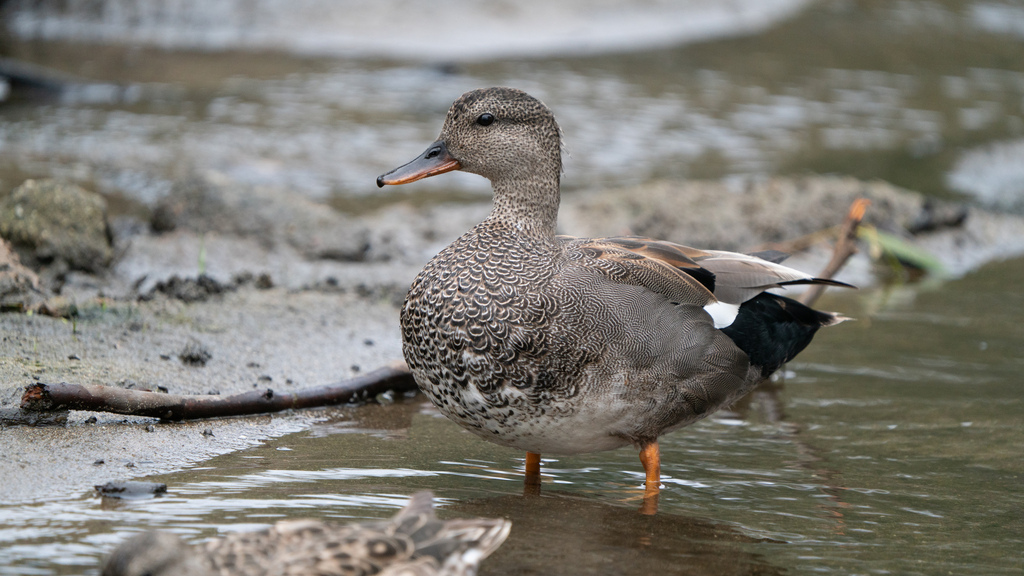
- GadwallAnas strepera
- Gray KingbirdTyrannus dominicensis
- King RailRallus elegans
- Lesser Black-backed GullLarus fuscus
- Lesser ScaupAythya affinis
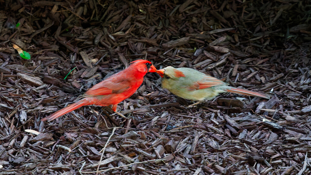
- Northern CardinalCardinalis cardinalis
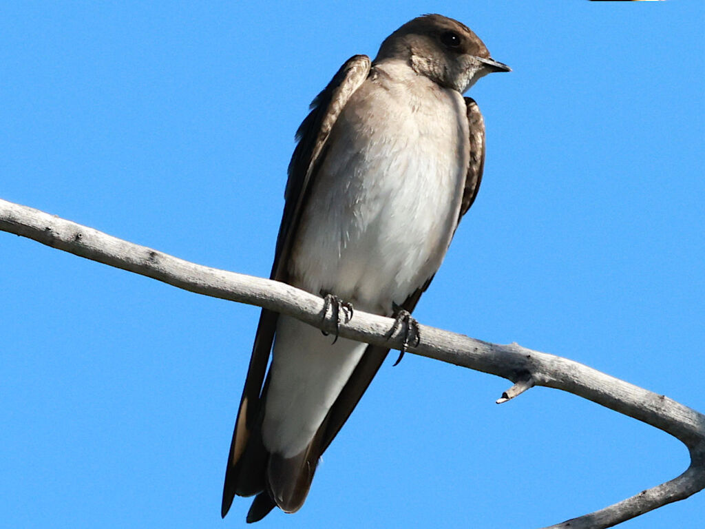
- Northern Rough-winged SwallowStelgidopteryx serripennis
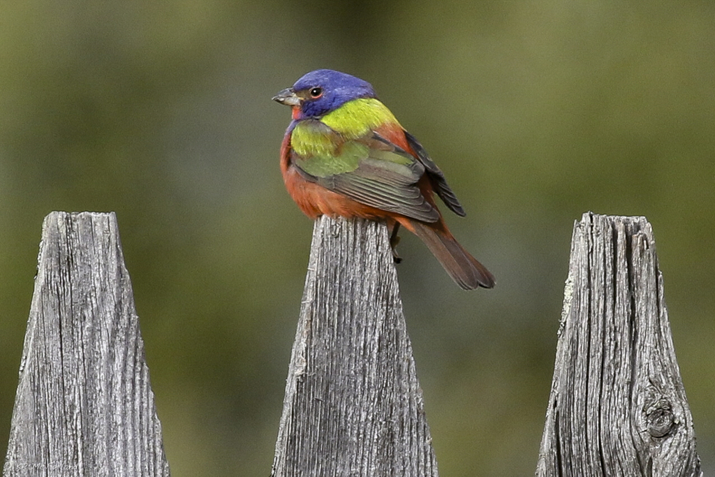
- Painted BuntingPasserina ciris
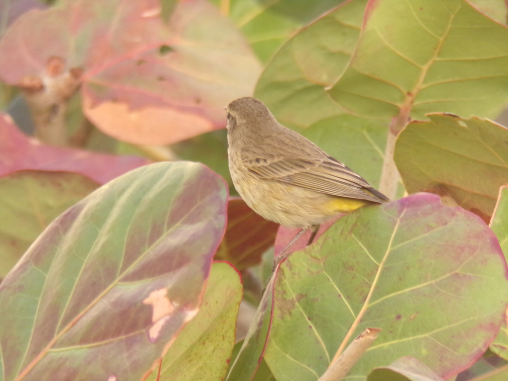
- Palm WarblerDendroica palmarum
- Pied-billed GrebePodilymbus podiceps
- Red-breasted MerganserMergus serrator
- Red-tailed HawkButeo jamaicensis
- Red-winged BlackbirdAgelaius phoeniceus
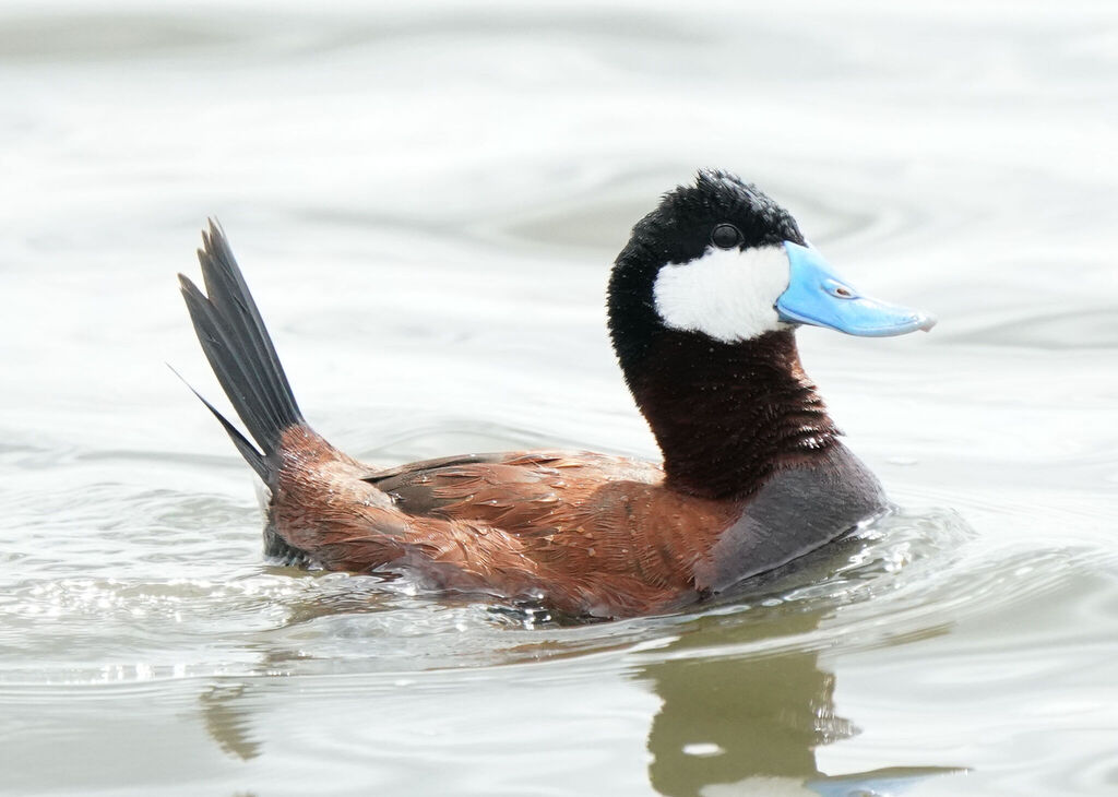
- Ruddy DuckOxyura jamaicensis
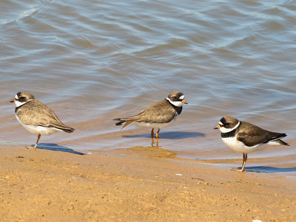
- Semipalmated PloverCharadrius semipalmatus
- Sharp-shinned HawkAccipiter striatus
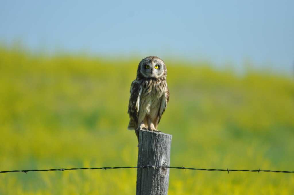
- Short-eared OwlAsio flammeus
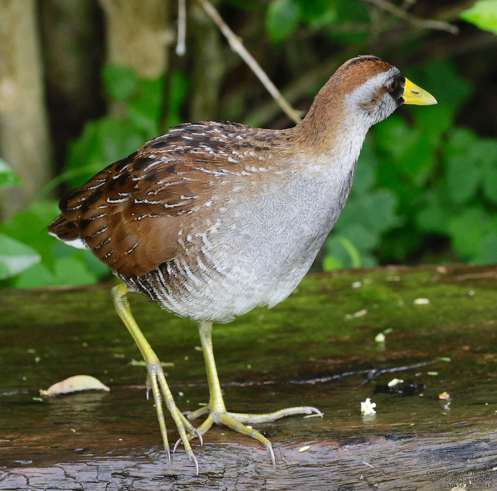
- SoraPorzana carolina

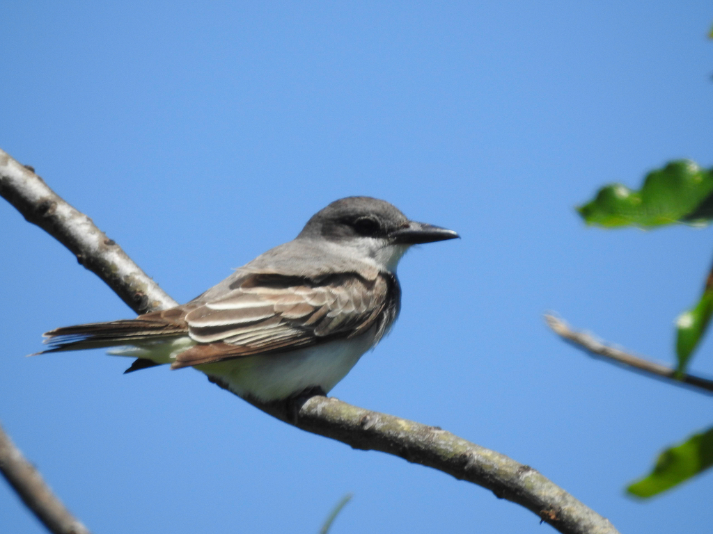
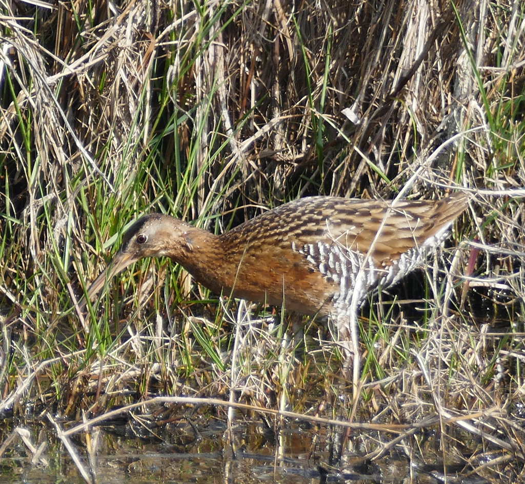
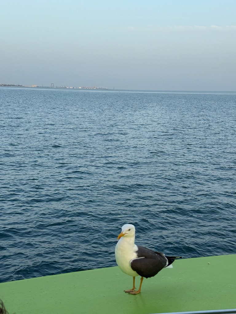
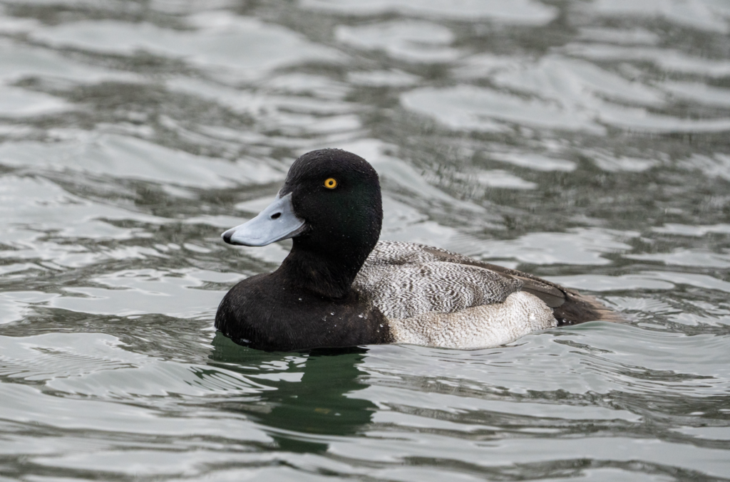
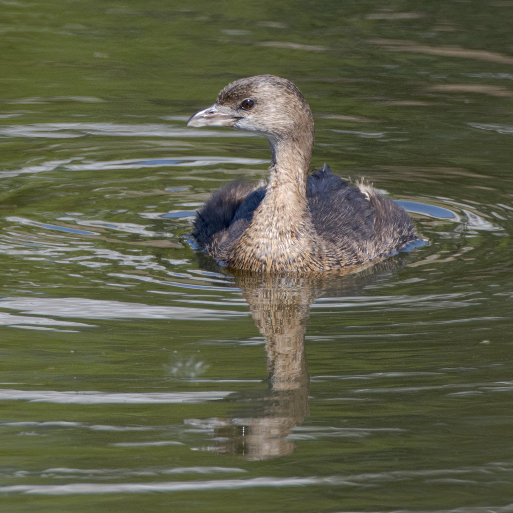
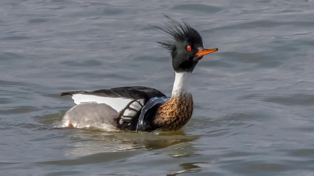
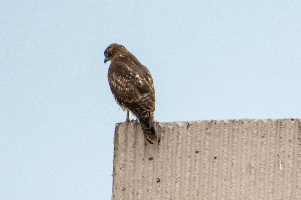
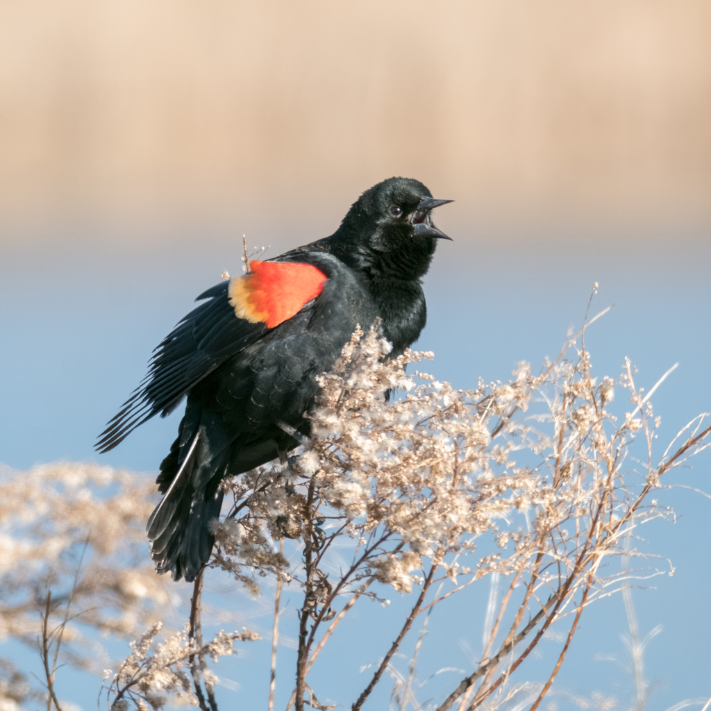
NatureServe Explorer, CC BY 4.0. USGS Gap Analysis Project habitat models.
Sources
- USGS Gap Analysis Project habitat models (2001)
- USGS GAP winter habitat model for Little Gull Slow streams only
- USGS Gap Analysis Project range maps (2001), modeled by watershed; migratory gives no dates
- NatureServe Explorer (CC BY 4.0), habitat names
- US Census TIGER/Line counties
- Names follow the USGS Gap Analysis Project (2001)