

Bird
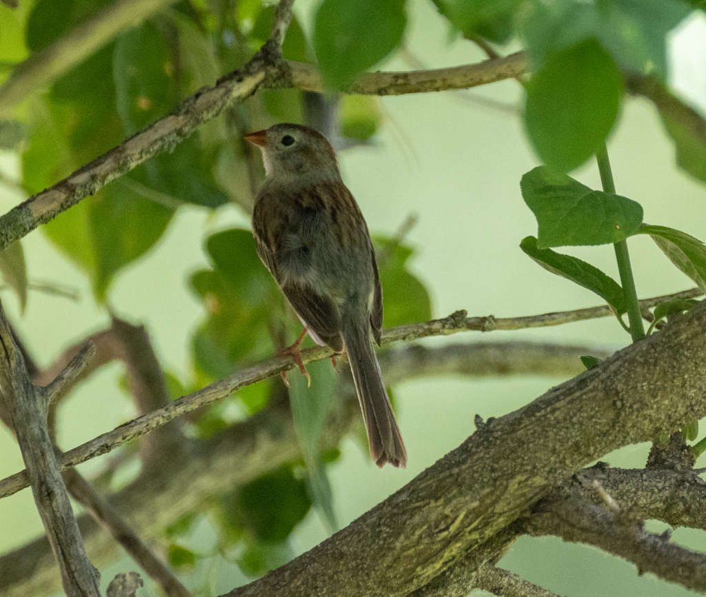
Field Sparrow
Spizella pusilla
Lives in Mississippi all year and nests here. Found in all 82 counties, across 6 habitats.
- Here
- All year
- Nesting
- Nests here
- Range
- All 82 counties
- Habitats
- 6
At a glance
- Group
- Birds
- Here
- All year
- Nesting
- Nests here
- Range
- All 82 counties
- Habitats
- 6
- Habitat models
- Summer, Winter
Where it lives
The places its habitat model includes. It is not found everywhere a habitat occurs.
Habitats in Mississippi 6
Each habitat page lists the plants and wildlife also found there.
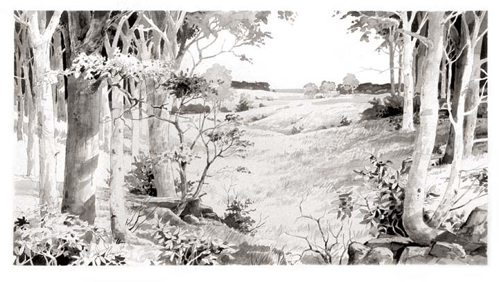
Open sand of beaches, dunes and the hollows between them.
Disturbed and introduced wetlands
Wet ground taken over by weedy or introduced plants after disturbance, such as common reed, Chinese tallow or tamarisk stands; the upland counterpart is roadsides, fields and disturbed ground.
Open, fire-kept longleaf pine stands over grasses and wildflowers on wet to moist sandy soil.
Open, grass-dominated places kept open by fire, grazing or thin soil, from tallgrass prairie to Piedmont prairies.
Roadsides, fields and disturbed ground
Ground opened by people: roadsides, old fields, pastures, fencerows and lots.
Other habitats in its models (38)
Land cover, or classes with no habitat page in Mississippi.
- Developed, Low Intensity Winter.
- Orchards Vineyards and Other High Structure Agriculture Winter.
- Unconsolidated Shore (Lake/River/Pond) Winter.
- Unconsolidated Shore Winter.
- Ridge and Valley Calcareous Valley Bottom Glade and Woodland Summer.
- East Gulf Coastal Plain Black Belt Calcareous Prairie and Woodland - Woodland Modifier Summer and winter.
- Central Appalachian Pine-Oak Rocky Woodland Summer.
- East Gulf Coastal Plain Interior Upland Longleaf Pine Woodland - Offsite Hardwood Modifier Winter.
- East Gulf Coastal Plain Interior Upland Longleaf Pine Woodland - Loblolly Modifier Winter.
- East Gulf Coastal Plain Interior Upland Longleaf Pine Woodland - Open Understory Modifier Winter.
- East Gulf Coastal Plain Interior Upland Longleaf Pine Woodland - Scrub/Shrub Modifier Winter.
- Florida Peninsula Inland Scrub Winter.
- Southern Piedmont Glade and Barrens Summer.
- Nashville Basin Limestone Glade Summer.
- Cumberland Sandstone Glade and Barrens Summer.
- West Gulf Coastal Plain Catahoula Barrens Winter.
- West Gulf Coastal Plain Nepheline Syenite Glade Winter.
- Eastern Highland Rim Prairie and Barrens - Dry Modifier Summer and winter.
- Florida Dry Prairie Summer and winter.
- West Gulf Coastal Plain Northern Calcareous Prairie Winter.
- West Gulf Coastal Plain Southern Calcareous Prairie Winter.
- Atlantic Coastal Plain Southern Dune and Maritime Grassland Summer.
- Southwest Florida Dune and Coastal Grassland Winter.
- Northern Atlantic Coastal Plain Dune and Swale Summer.
- Recently Logged Areas Summer and winter.
- Harvested Forest - Grass/Forb Regeneration Summer and winter.
- Recently Burned Summer and winter.
- Recently Burned Forest Summer and winter.
- Recently Burned Grassland Summer and winter.
- Recently Burned Shrubland Summer and winter.
- Introduced Upland Vegetation - Shrub Summer and winter.
- Introduced Upland Vegetation - Forbland Summer and winter.
- Introduced Upland Vegetation - Perennial Grassland Summer and winter.
- Introduced Upland Vegetation - Perennial Grassland and Forbland Summer and winter.
- Atlantic Coastal Plain Embayed Region Tidal Freshwater Marsh Summer.
- Florida Big Bend Fresh-Oligohaline Tidal Marsh Summer.
- Atlantic Coastal Plain Northern Fresh and Oligohaline Tidal Marsh Summer.
- Atlantic Coastal Plain Central Fresh-Oligohaline Tidal Marsh Summer.
- The model distinguishes abandoned fields from actively planted row crops.
Seasons in Mississippi
- Year-round: nests here, in all 82 counties.
- Winter: does not nest here, in 3 of 82 counties.
Also found in this habitat
Plants 94
Plants named in NatureServe descriptions of these habitats that grow in Mississippi. Shared habitat, not food.
- Fuirena scirpoideaFuirena scirpoidea
- Dune Marsh-elderIva imbricata
- Common WaxmyrtleMorella cerifera
- Panicum amarum var. amarulumPanicum amarum var. amarulum
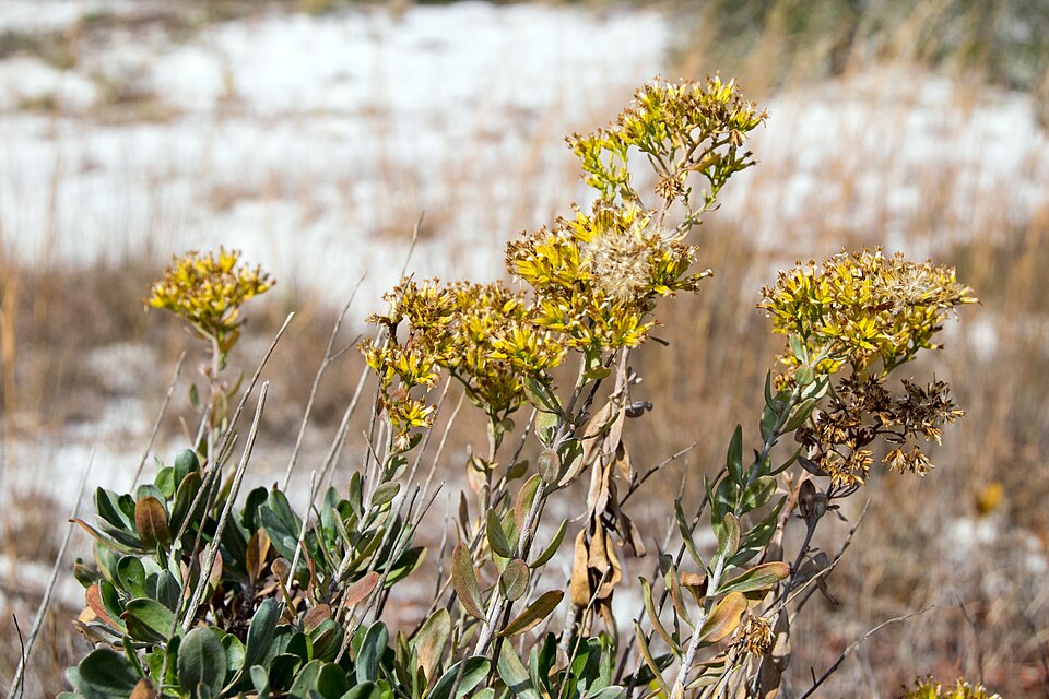
- Woody GoldenrodChrysoma pauciflosculosa
- Panicum tenerumPanicum tenerum
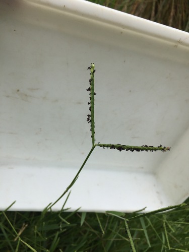
- KnotgrassPaspalum distichum
- Tall JointweedPolygonella gracilis
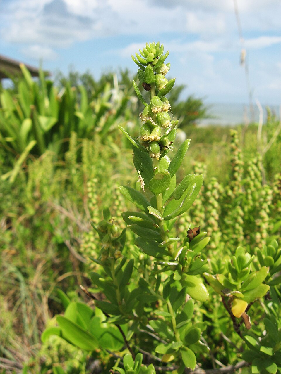
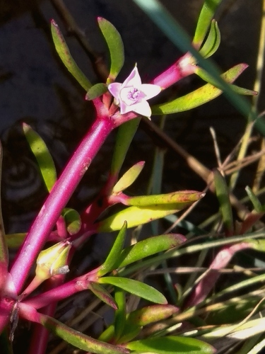
- Shoreline Sea-purslaneSesuvium portulacastrum
- Saltmeadow CordgrassSpartina patens
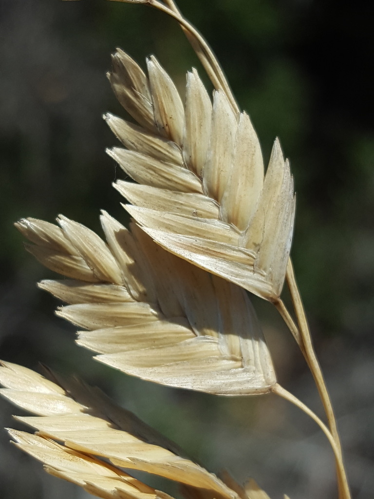
- Sea OatsUniola paniculata
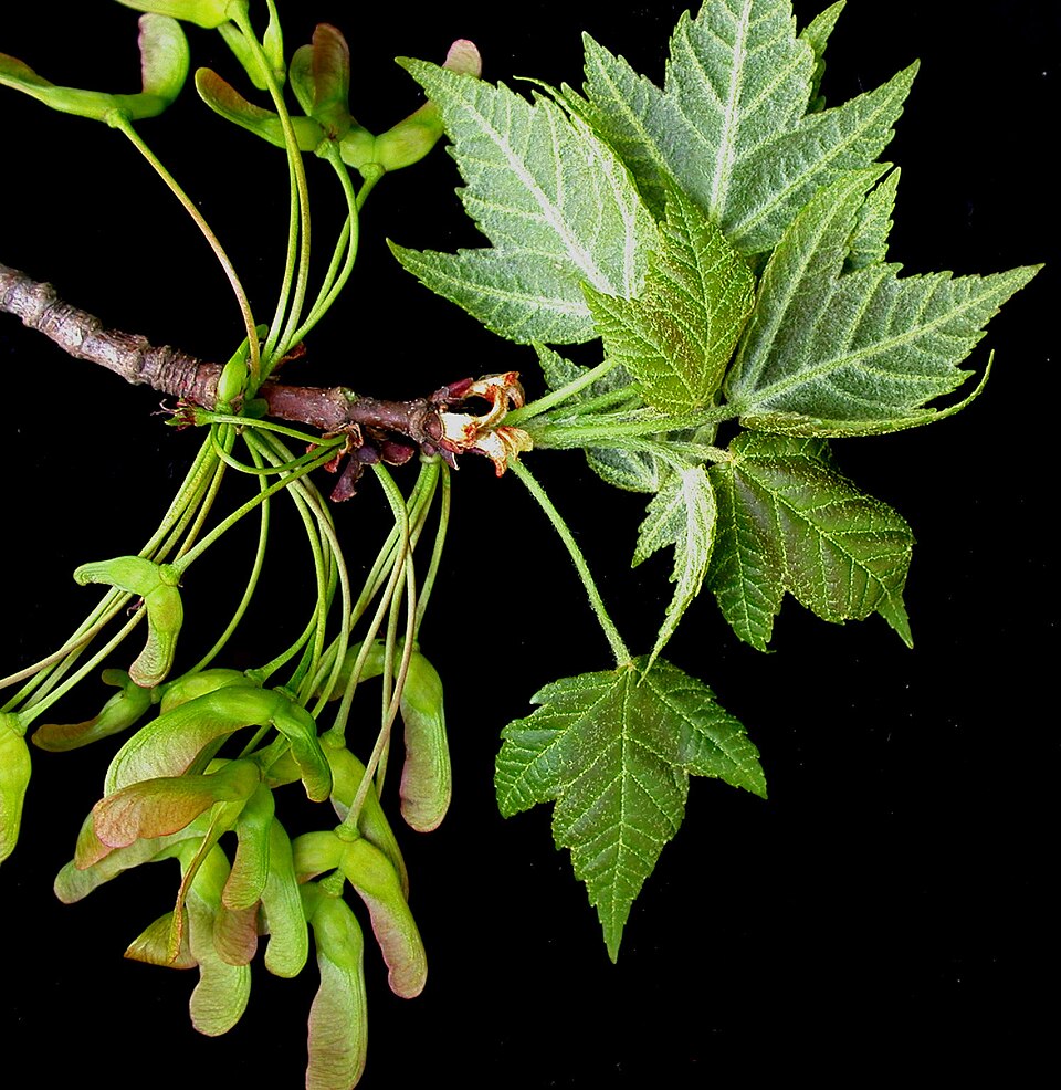
- Red MapleAcer rubrum
- Agalinis filicaulisAgalinis filicaulis
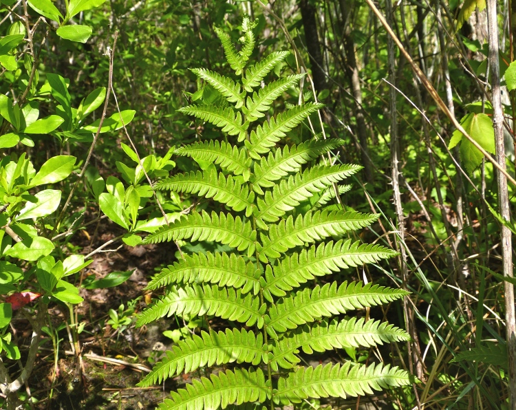
- Virginia Chain-fernAnchistea virginica
- Bushy BluestemAndropogon glomeratus
- Aristida beyrichianaAristida beyrichiana
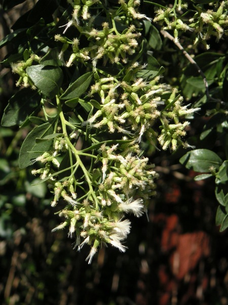
- Groundsel-treeBaccharis halimifolia
- American BlueheartsBuchnera americana
- Gulf Coast Sea RocketCakile constricta
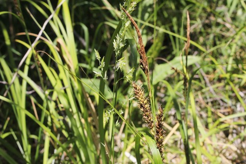
- Shoreline SedgeCarex hyalinolepis
- Carphephorus pseudoliatrisCarphephorus pseudoliatris
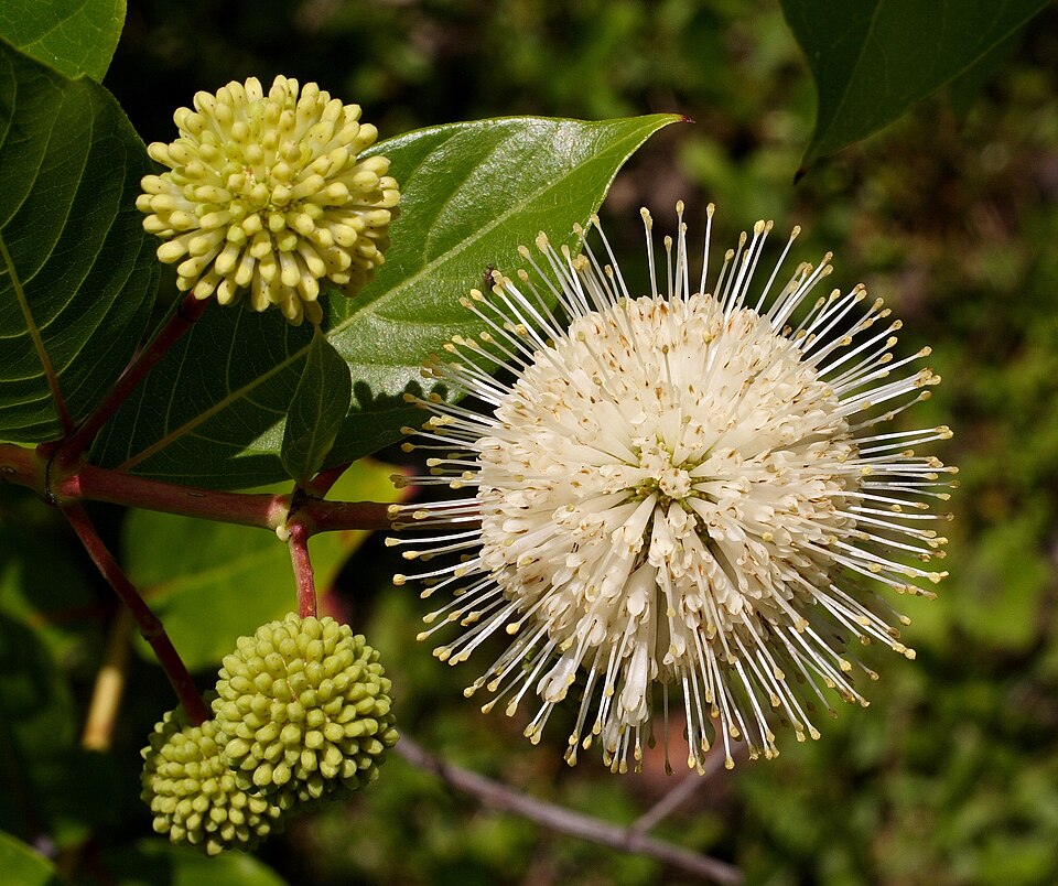
- ButtonbushCephalanthus occidentalis
- Ceratiola ericoidesCeratiola ericoides
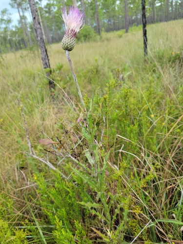
- LeConte's ThistleCirsium lecontei

Wildlife 256
Other animals whose habitat models include the same habitats in Mississippi. Not sighting records.
- American GoldfinchCarduelis tristis
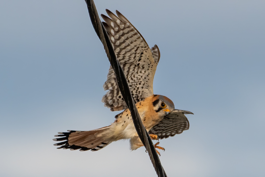
- American KestrelFalco sparverius
- American RobinTurdus migratorius
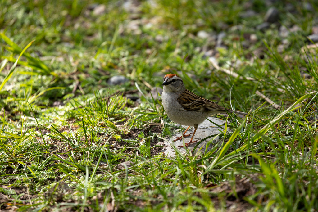
- Chipping SparrowSpizella passerina
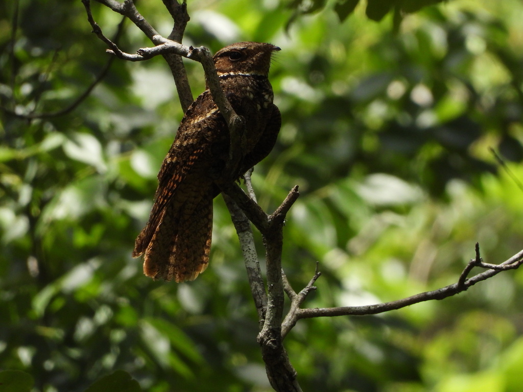
- Chuck-will's-widowCaprimulgus carolinensis
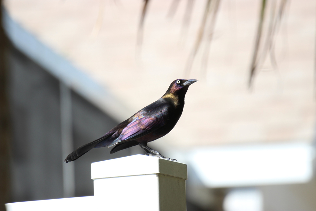
- Common GrackleQuiscalus quiscula
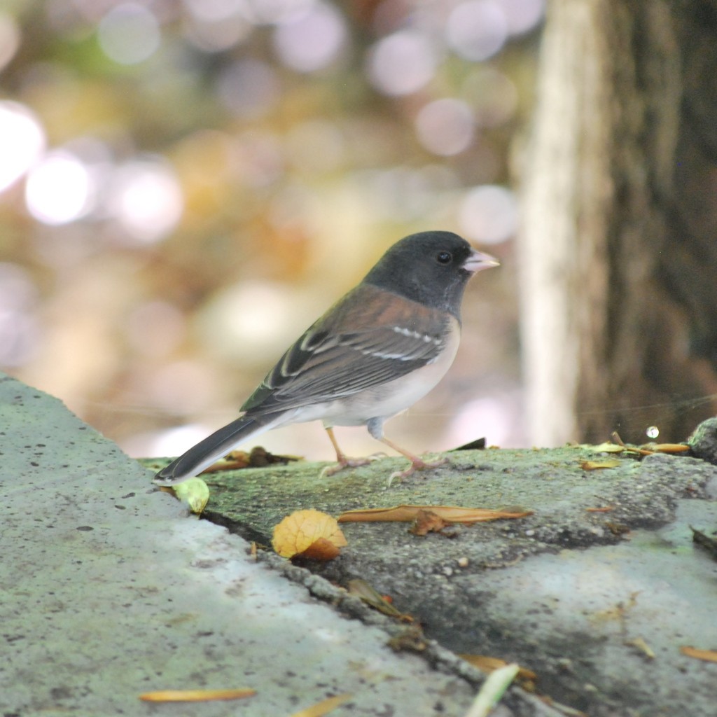
- Dark-eyed JuncoJunco hyemalis
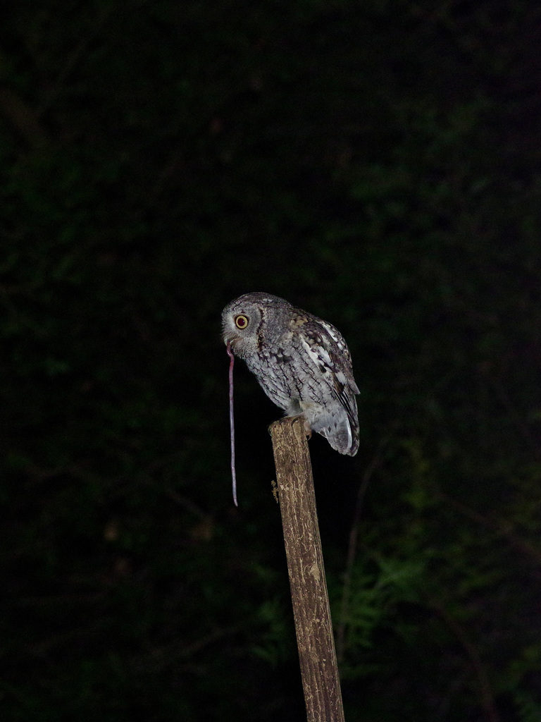
- Eastern Screech-owlMegascops asio
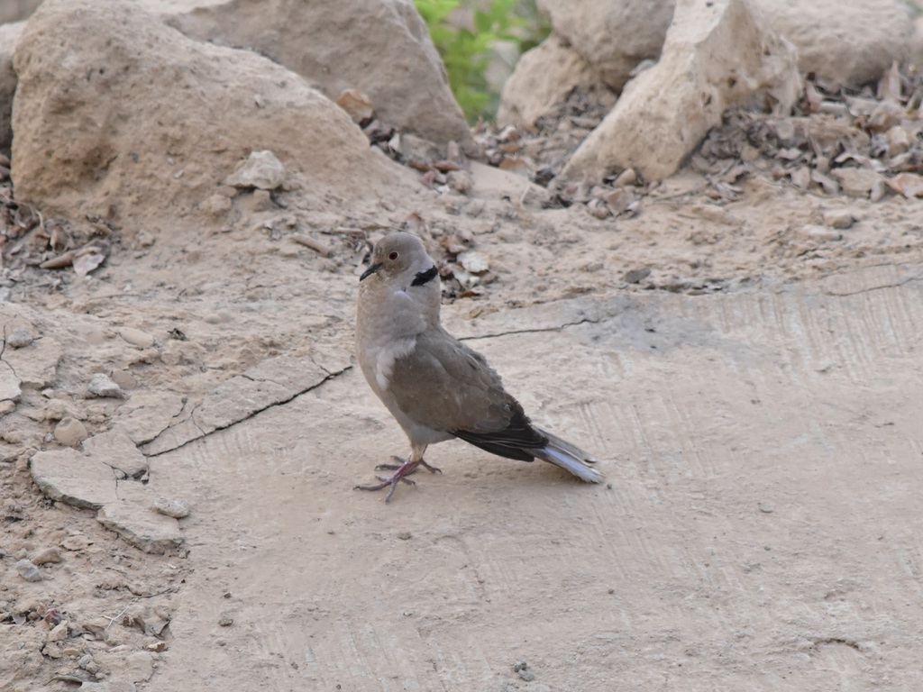
- Eurasian Collared-doveStreptopelia decaocto
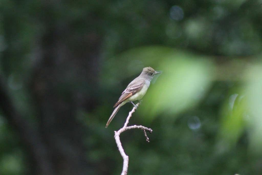
- Great Crested FlycatcherMyiarchus crinitus
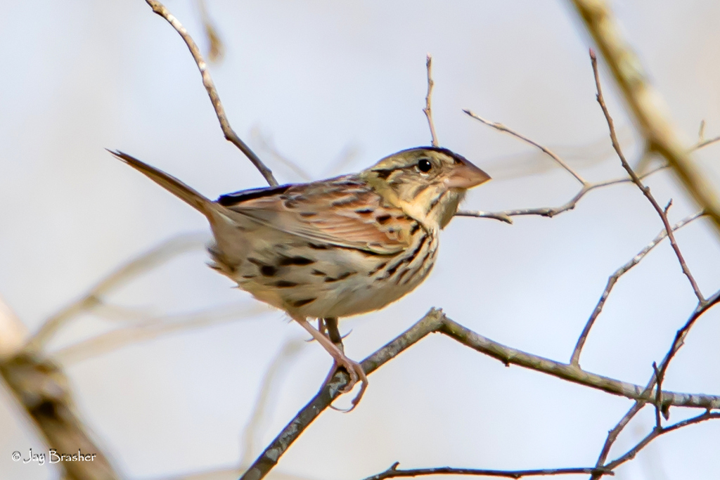
- Henslow's SparrowAmmodramus henslowii
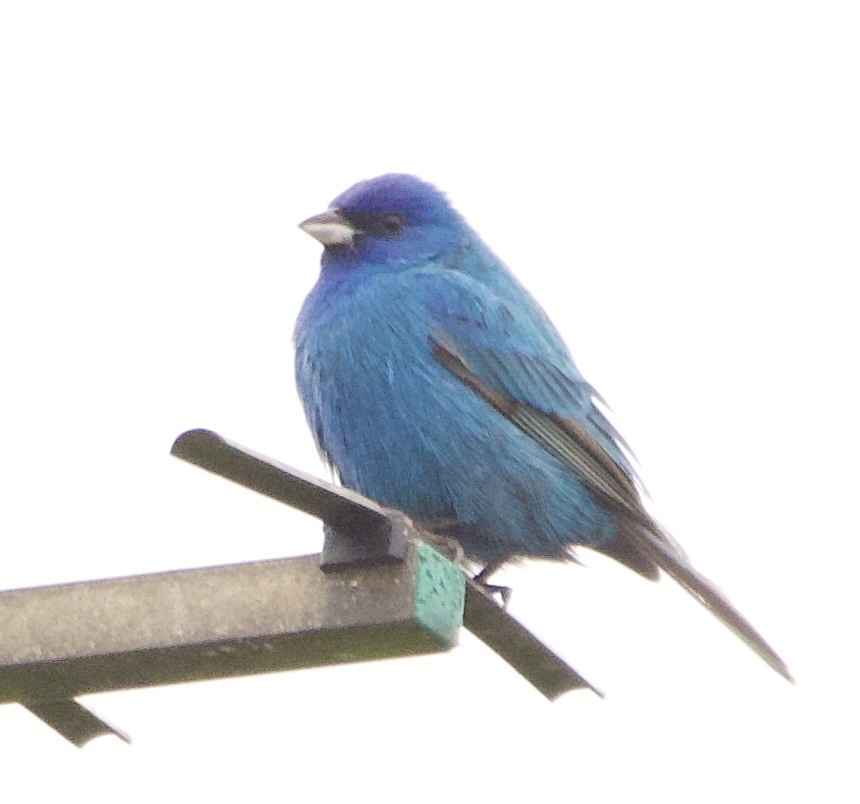
- Indigo BuntingPasserina cyanea
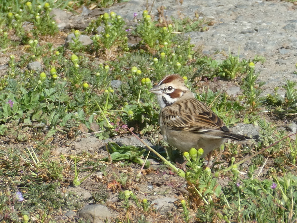
- Lark SparrowChondestes grammacus
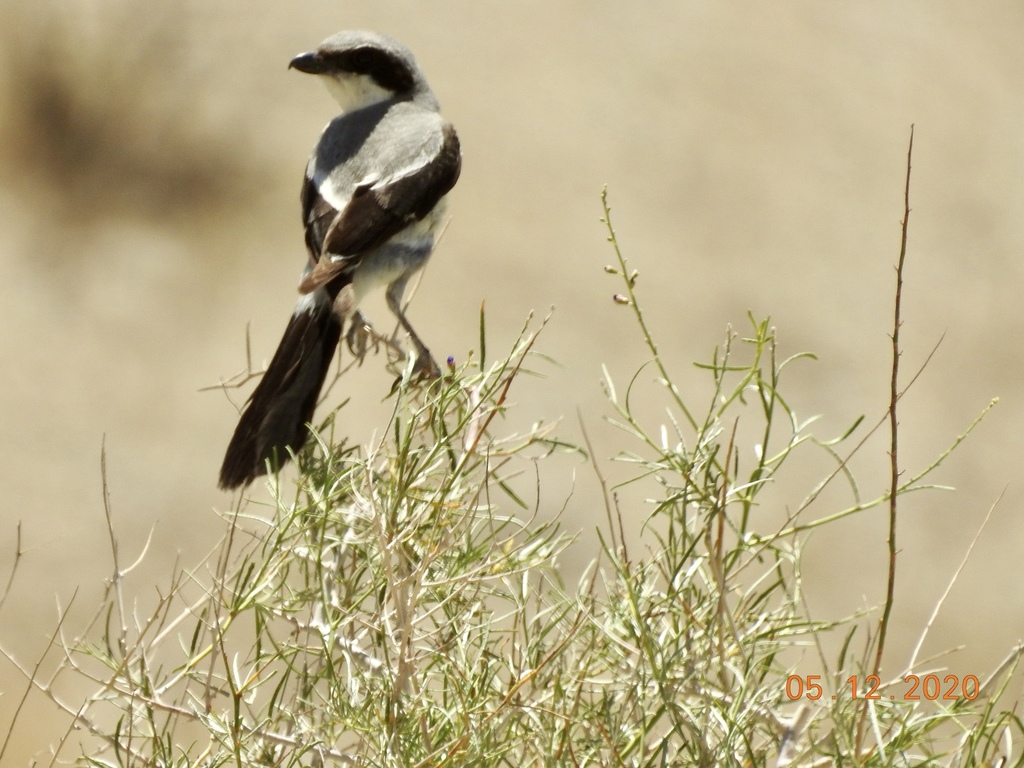
- Loggerhead ShrikeLanius ludovicianus
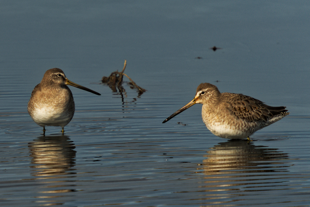
- Long-billed DowitcherLimnodromus scolopaceus
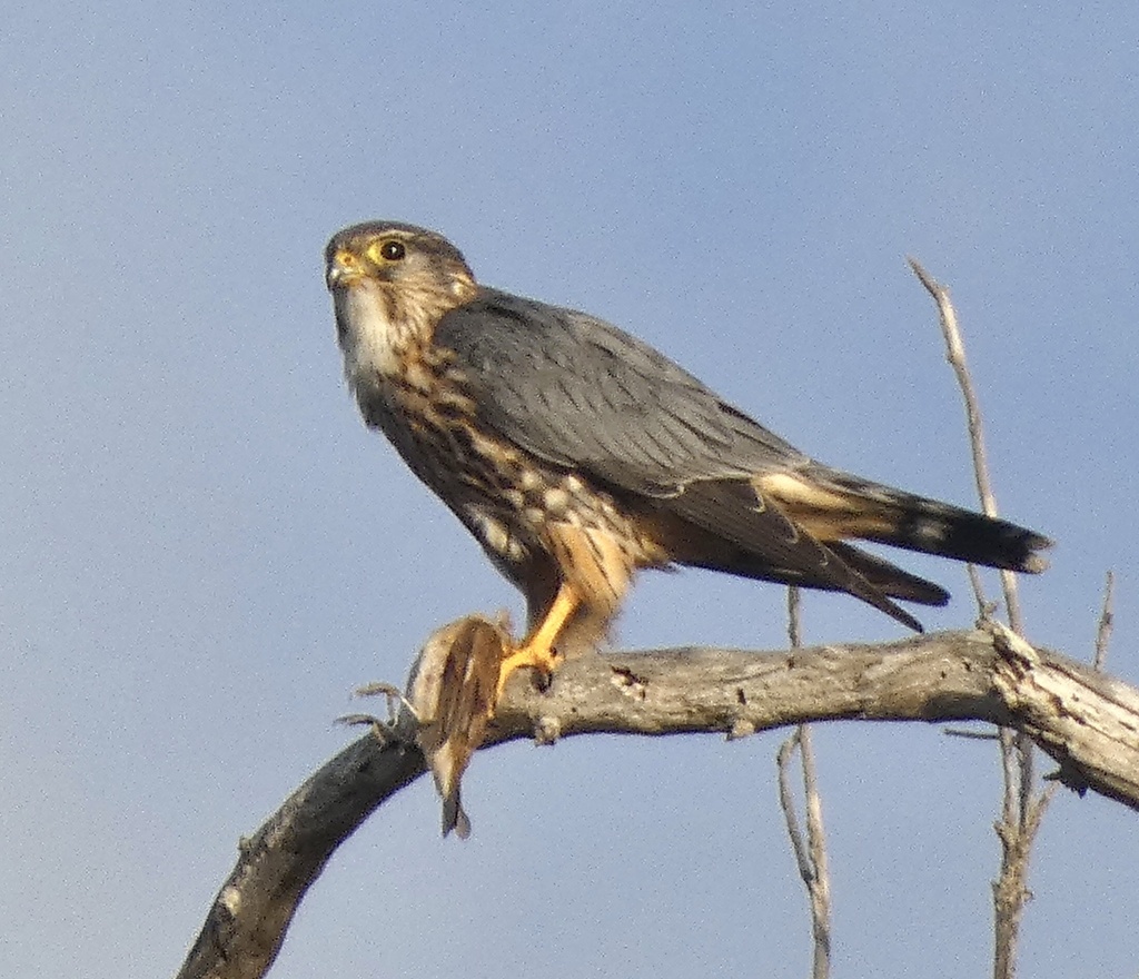
- MerlinFalco columbarius
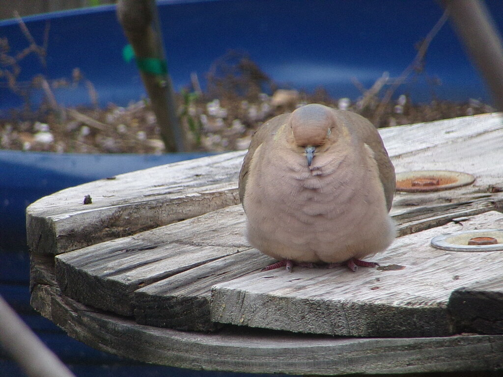
- Mourning DoveZenaida macroura
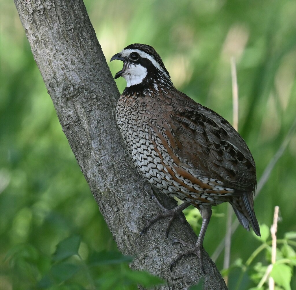
- Northern BobwhiteColinus virginianus
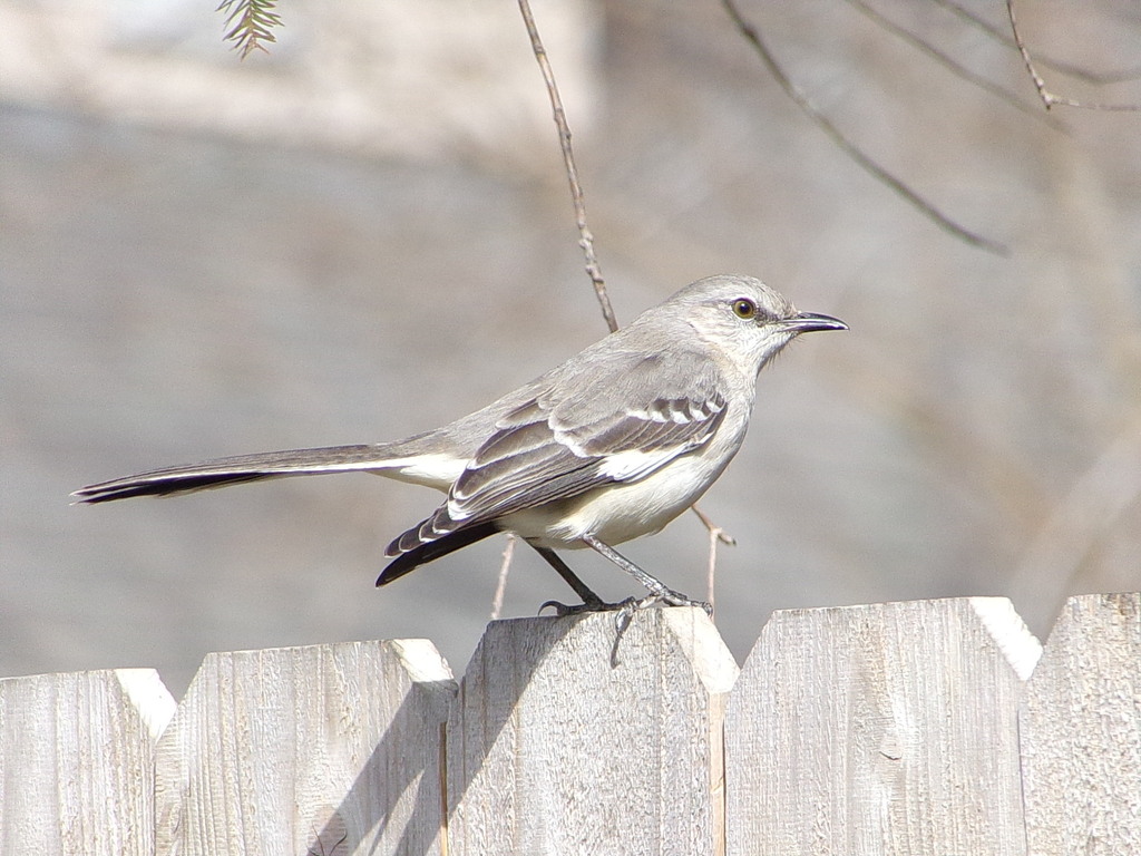
- Northern MockingbirdMimus polyglottos
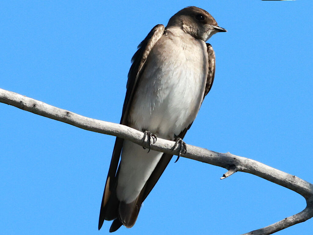
- Northern Rough-winged SwallowStelgidopteryx serripennis
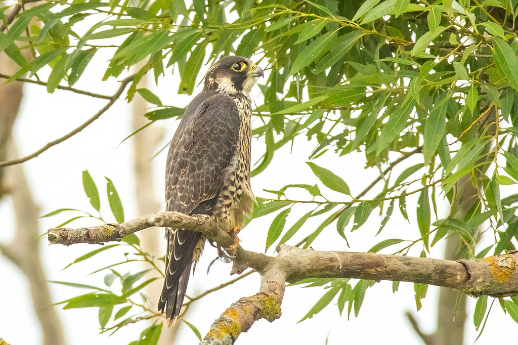
- Peregrine FalconFalco peregrinus
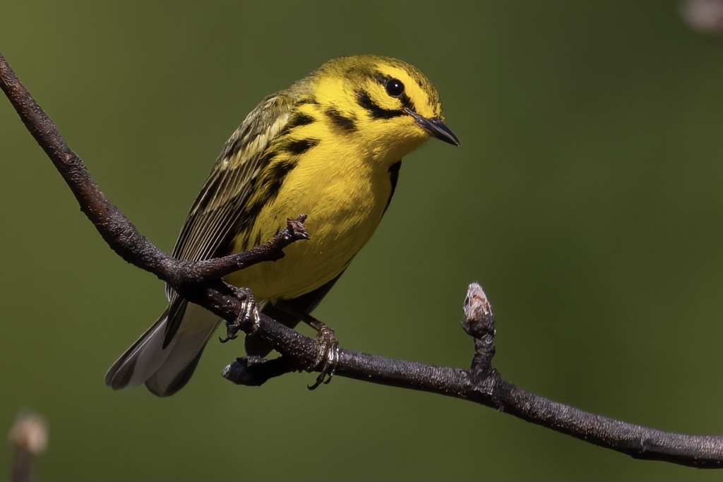
- Prairie WarblerDendroica discolor
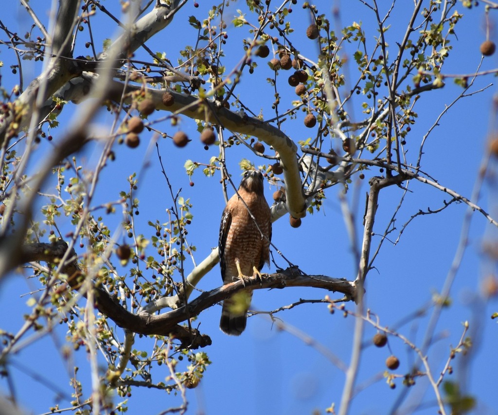
- Red-shouldered HawkButeo lineatus
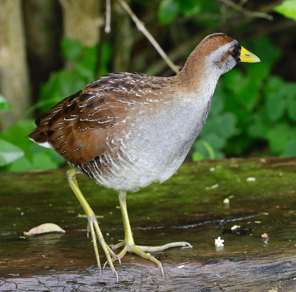
- SoraPorzana carolina


NatureServe Explorer, CC BY 4.0. USGS Gap Analysis Project habitat models.
Sources
- USGS Gap Analysis Project habitat models (2001)
- USGS GAP winter habitat model for Field Sparrow Avoids forest interior
- USGS Gap Analysis Project range maps (2001), modeled by watershed; migratory gives no dates
- NatureServe Explorer (CC BY 4.0), habitat names
- US Census TIGER/Line counties
- Names follow the USGS Gap Analysis Project (2001)